
 |  |  |
| 70-mm magazine MM - AS14-68-9393 to 9492 | Photography Index | 70-mm magazine Q - AS14-70-9657 to 9840 |
No copyright is asserted for NASA photographs. If a recognizable person appears in a photo, use for commercial purposes may infringe a right of privacy or publicity. Photos may not be used to state or imply the endorsement by NASA or by any NASA employee of a commercial product, process or service, or used in any other manner that might mislead. Accordingly, it is requested that if a NASA photograph is used in advertising and other commercial promotion, layout and copy be submitted to NASA prior to release. NASA photos reproduced from this archive should include photo credit to "NASA" or "National Aeronautics and Space Administration" and should include scanning credit to the appropriate individuals or agencies as noted in the captions.
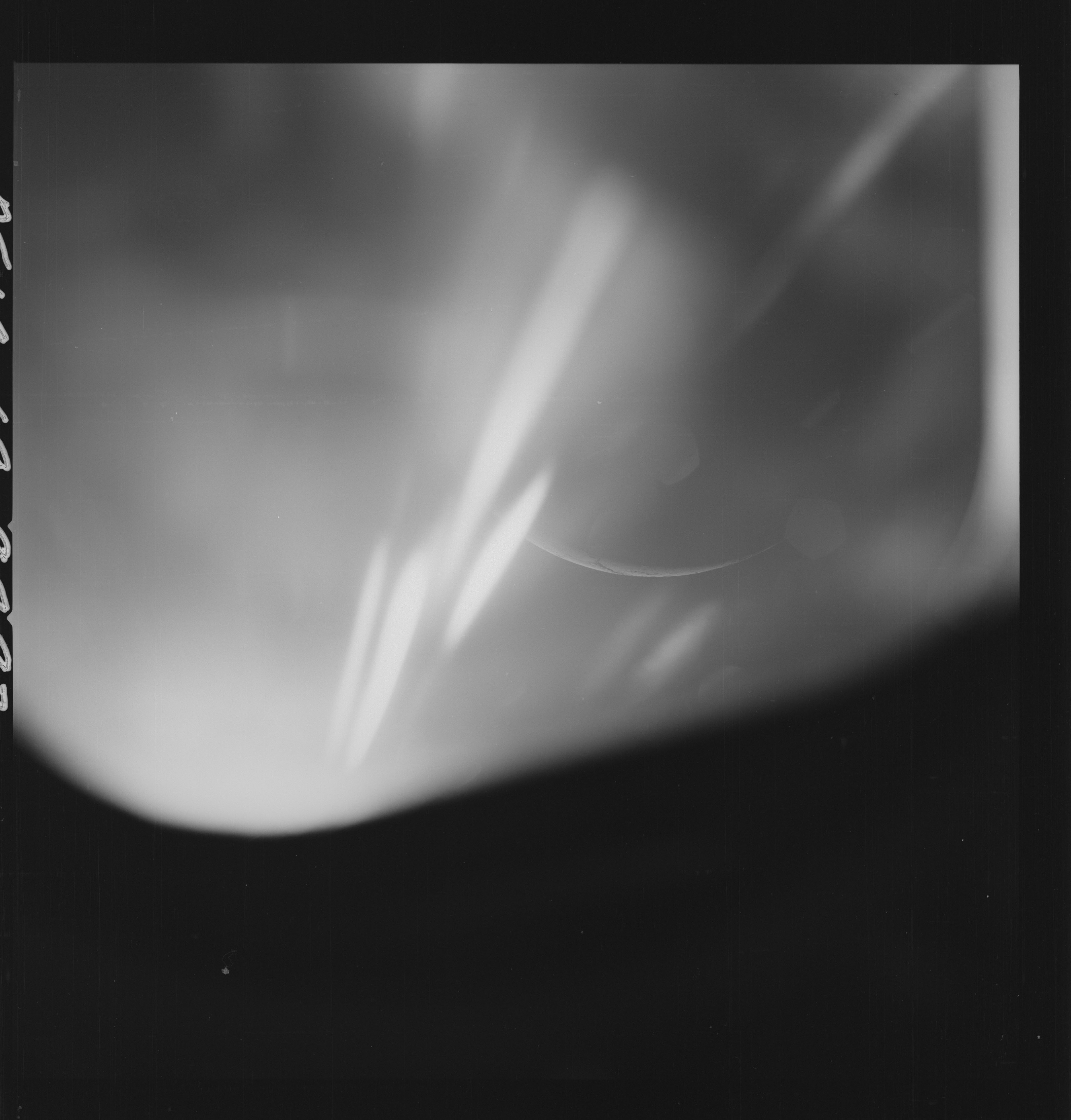 | AS14-69-9493 FOUR-FRAME SEQUENCE OF LUNAR LIMB CRESCENT Image credit: National Archives and Records Administration |
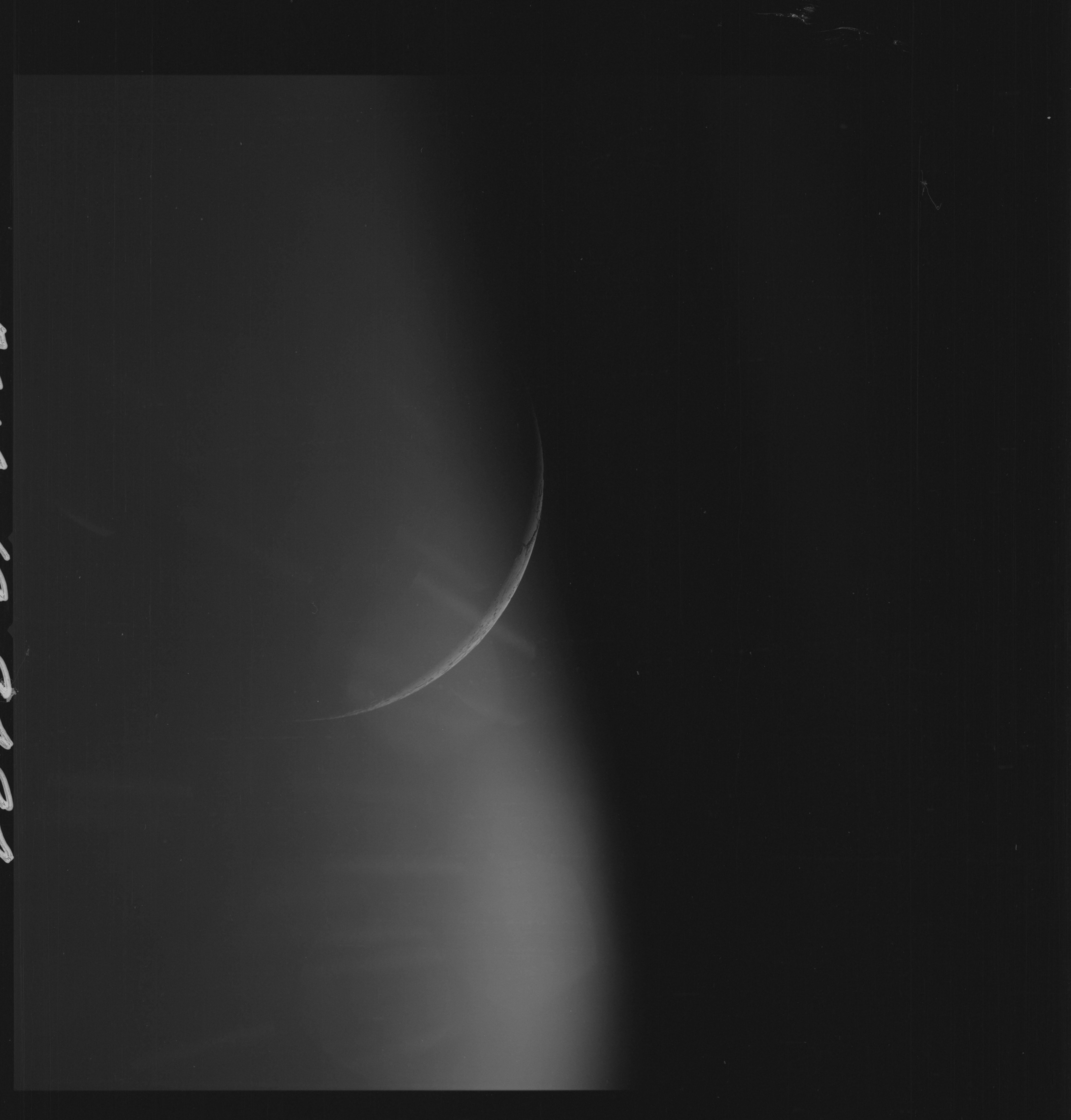 | AS14-69-9494 LIMB CRESCENT Image credit: National Archives and Records Administration |
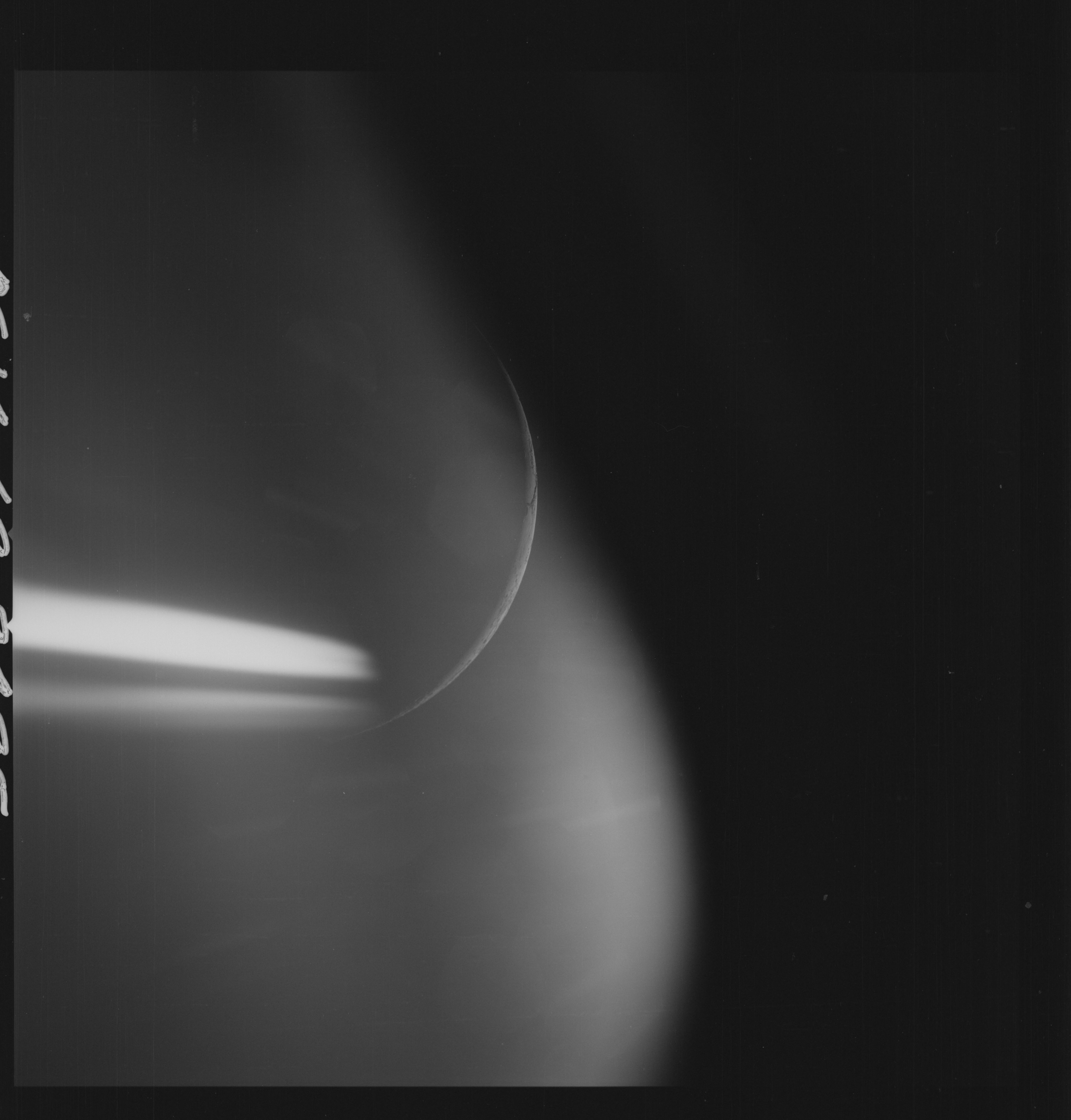 | AS14-69-9495 LIMB CRESCENT Image credit: National Archives and Records Administration |
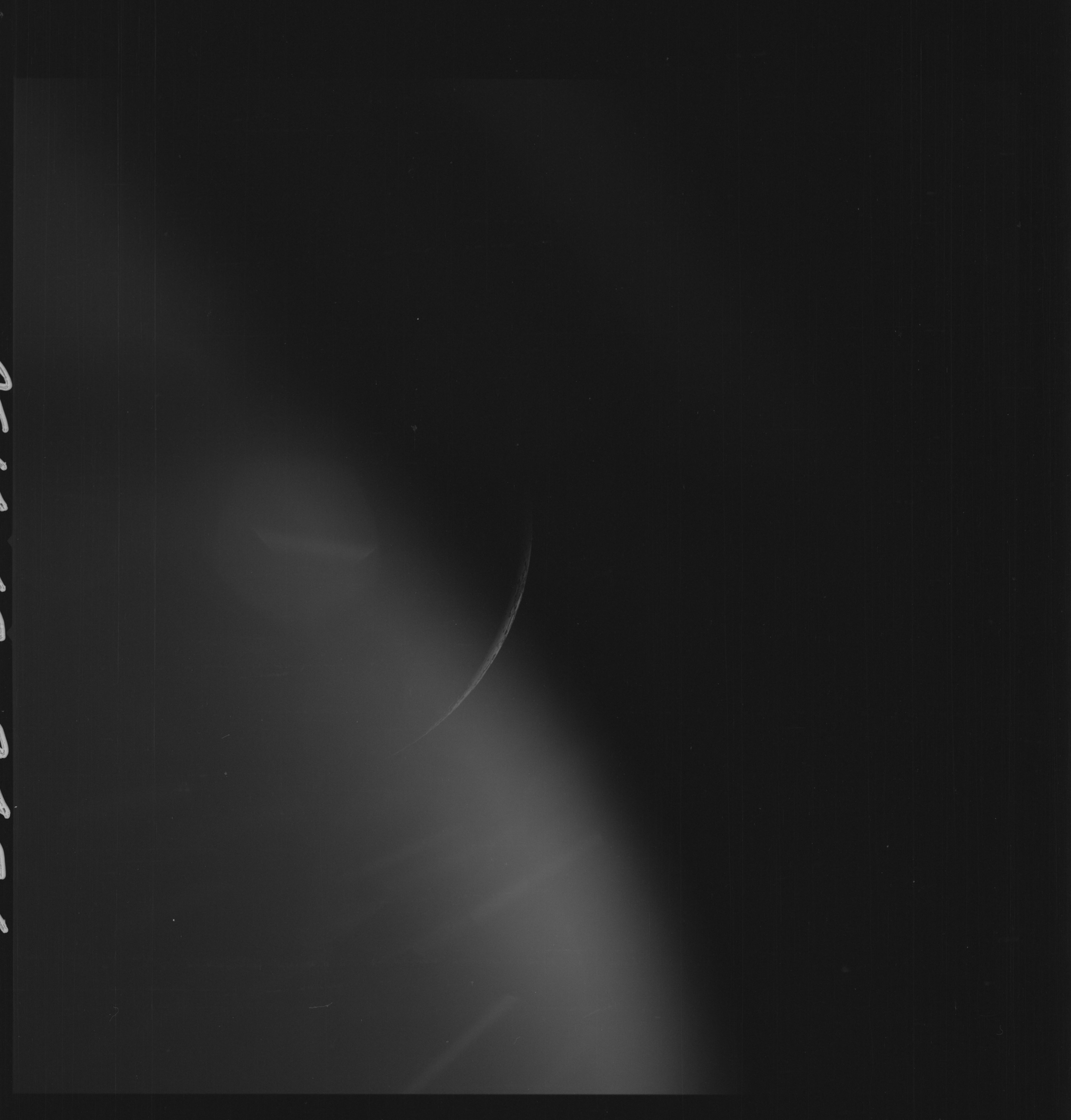 | AS14-69-9496 LIMB CRESCENT Image credit: National Archives and Records Administration |
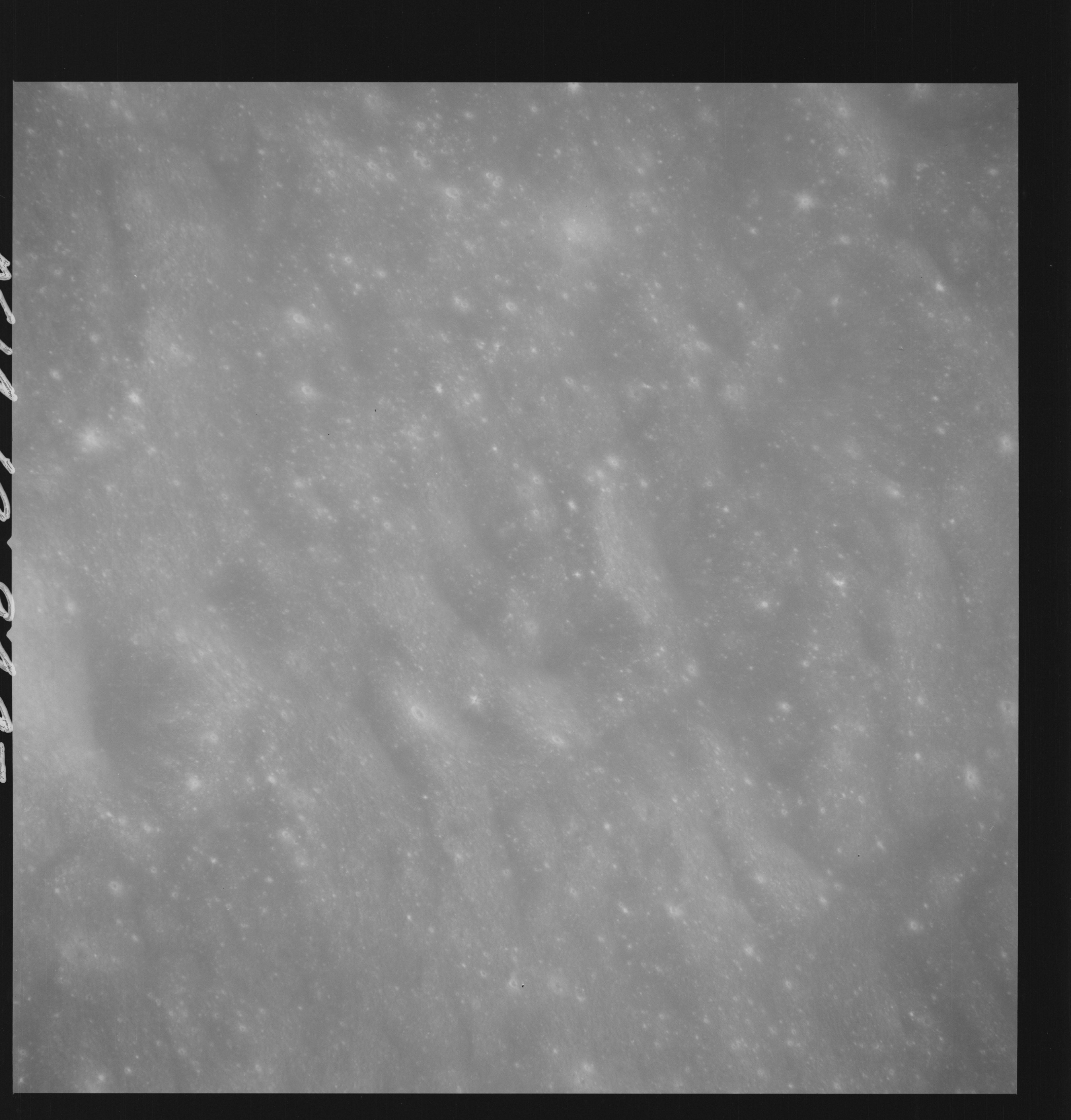 | AS14-69-9497 APPROACH TO DESCARTES DE-2 Location: 9° S, 19.5° E Image credit: National Archives and Records Administration |
 | AS14-69-9498 APPROACH TO DESCARTES; FIRST 500 MM PASS Location: 9° S, 19° E Image credit: National Archives and Records Administration |
 | AS14-69-9499 APPROACH TO DESCARTES; FIRST 500 MM PASS Location: 9° S, 19° E Image credit: National Archives and Records Administration |
 | AS14-69-9500 APPROACH TO DESCARTES; FIRST 500 MM PASS Location: 9° S, 18.5° E Image credit: National Archives and Records Administration |
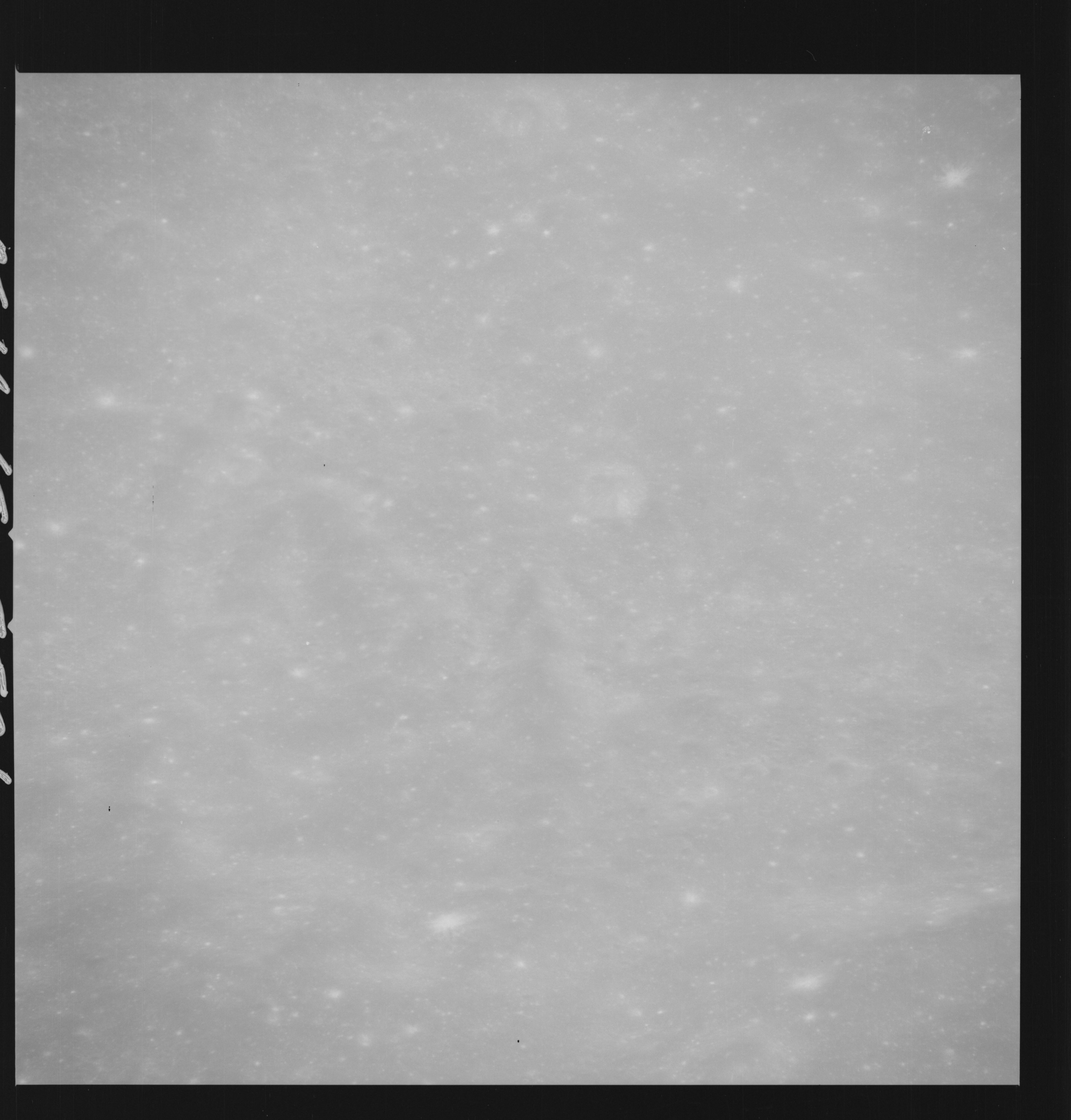 | AS14-69-9501 APPROACH TO DESCARTES; FIRST 500 MM PASS Location: 9° S, 18.5° E Image credit: National Archives and Records Administration |
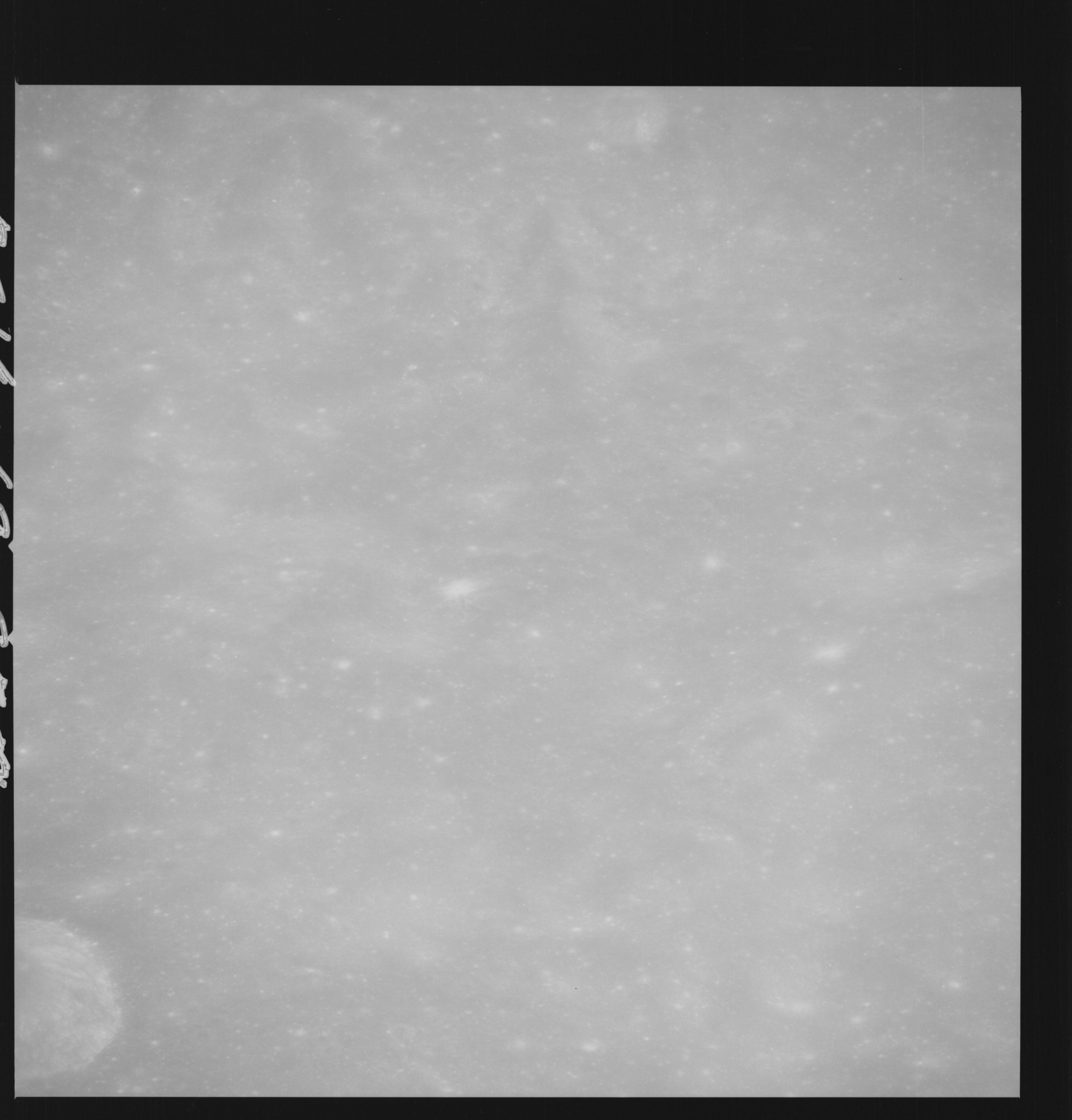 | AS14-69-9502 APPROACH TO DESCARTES; FIRST 500 MM PASS Location: 9° S, 17.5° E Image credit: National Archives and Records Administration |
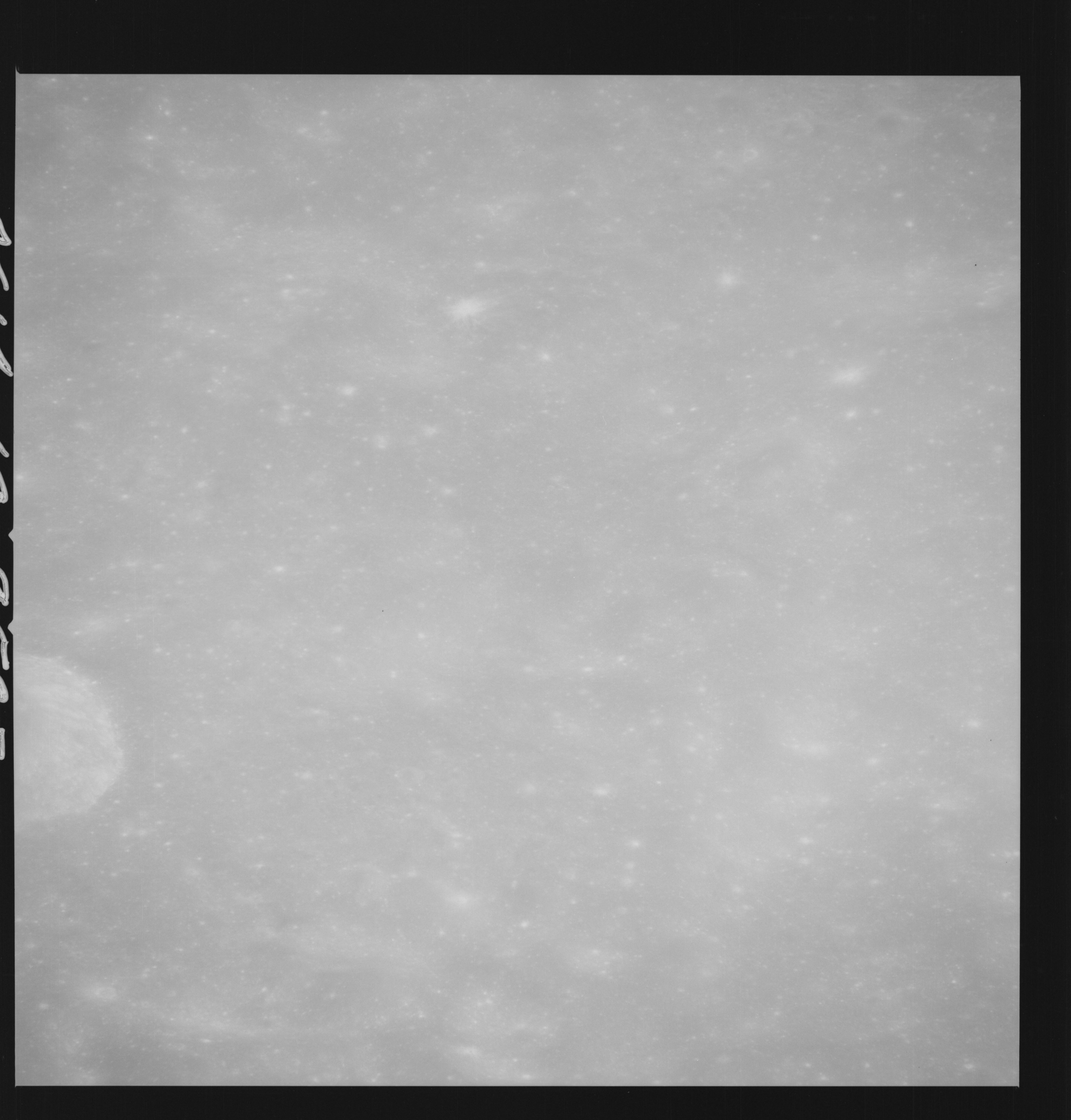 | AS14-69-9503 APPROACH TO DESCARTES; FIRST 500 MM PASS Location: 9° S, 17.5° E Image credit: National Archives and Records Administration |
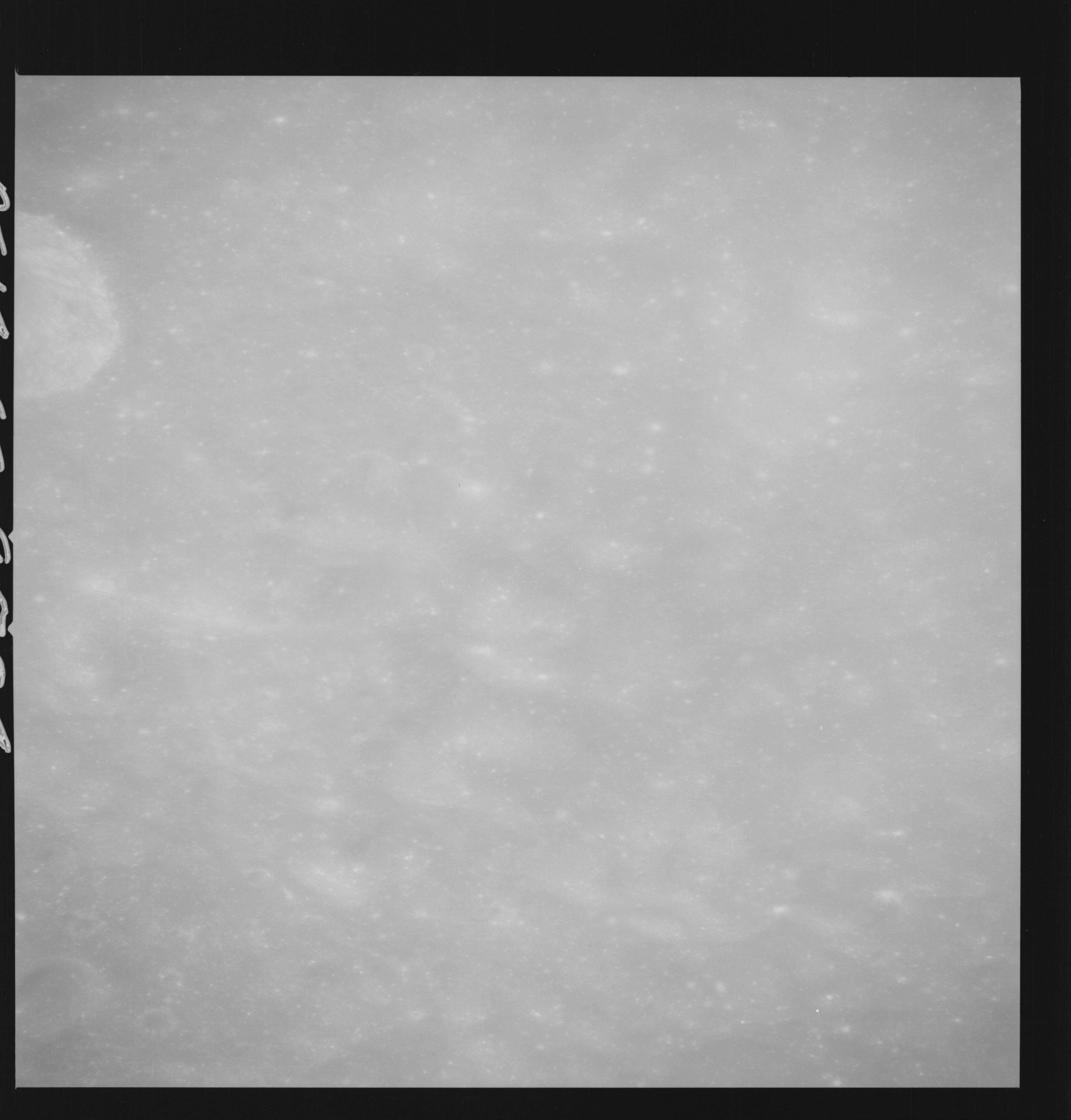 | AS14-69-9504 APPROACH TO DESCARTES; FIRST 500 MM PASS Location: 9° S, 17° E Image credit: National Archives and Records Administration |
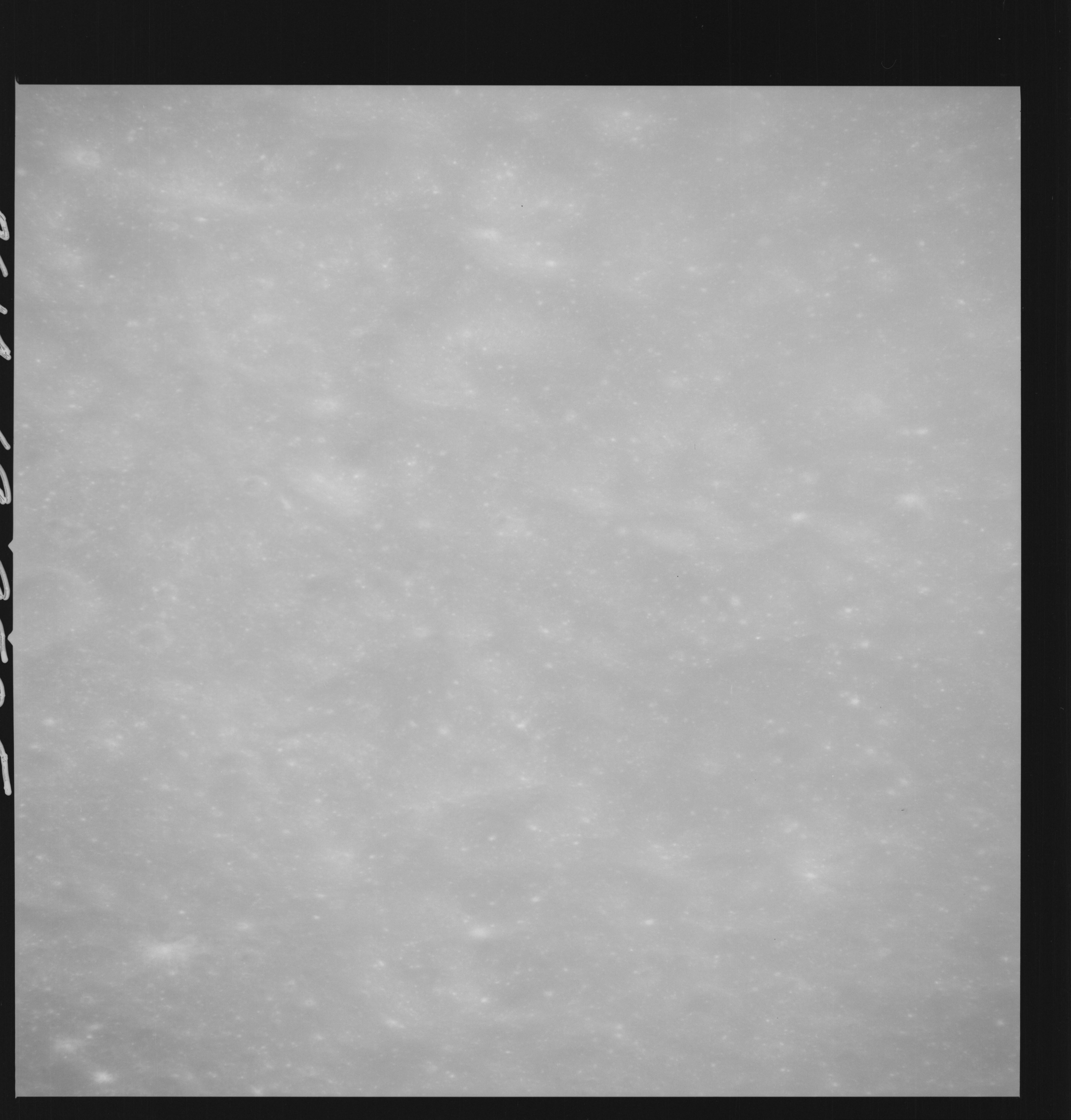 | AS14-69-9505 APPROACH TO DESCARTES; FIRST 500 MM PASS Location: 9° S, 17° E Image credit: National Archives and Records Administration |
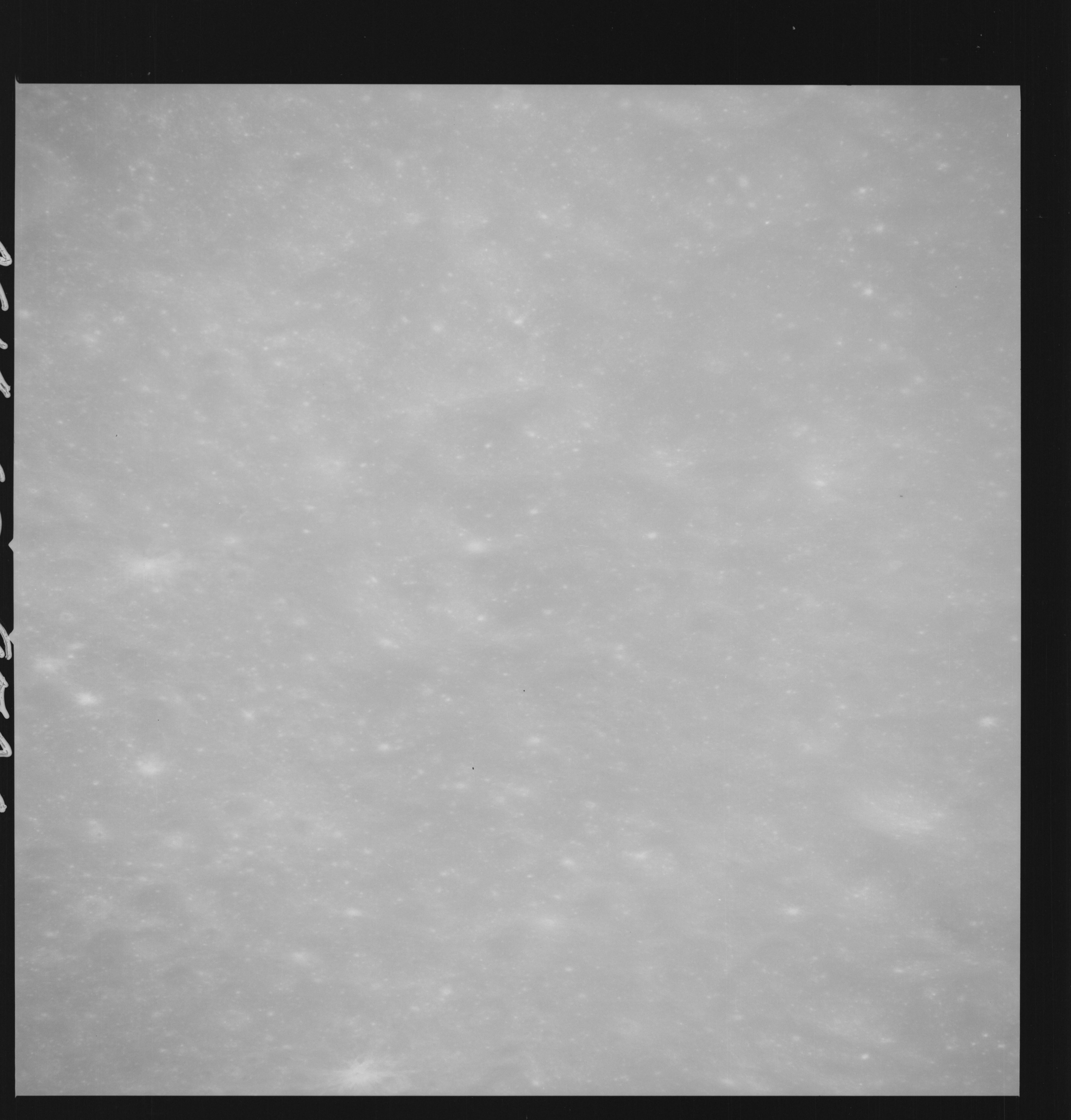 | AS14-69-9506 APPROACH TO DESCARTES; FIRST 500 MM PASS Location: 9° S, 16.5° E Image credit: National Archives and Records Administration |
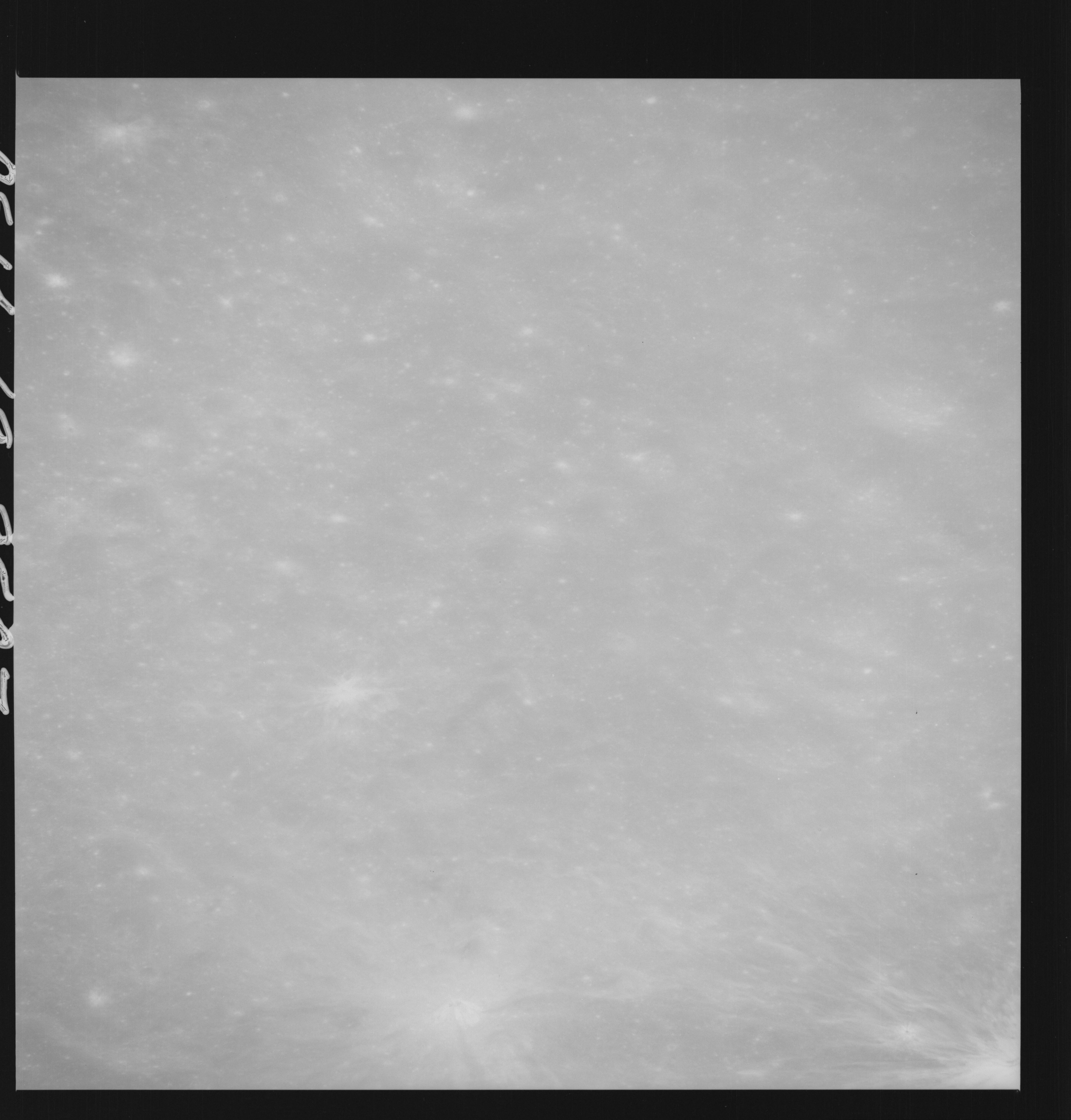 | AS14-69-9507 APOLLO 16 LANDING SITE DESCARTES Location: 9° S, 16.5° E Image credit: National Archives and Records Administration |
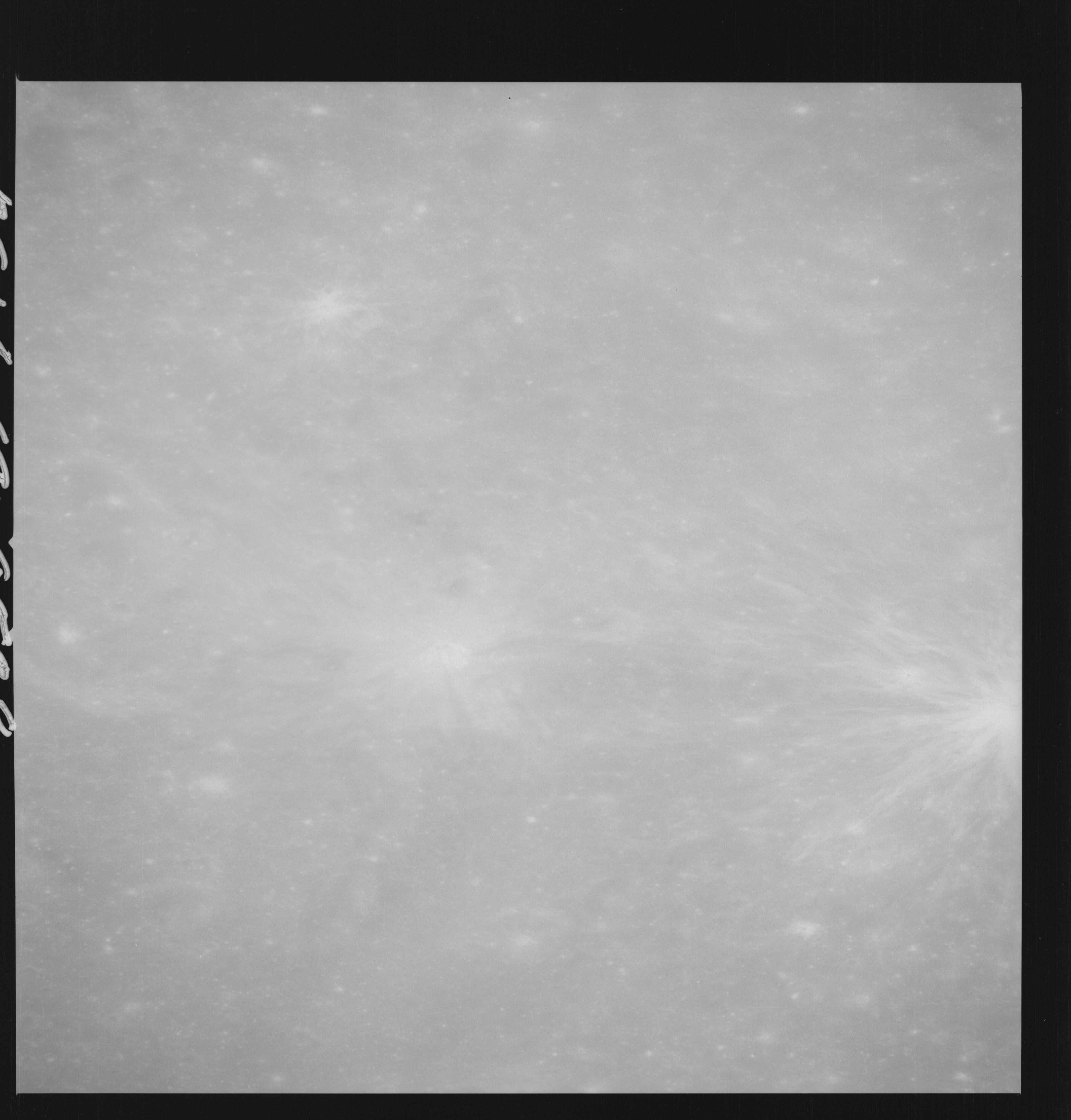 | AS14-69-9508 APOLLO 16 LANDING SITE DESCARTES Location: 9° S, 16.5° E Image credit: National Archives and Records Administration |
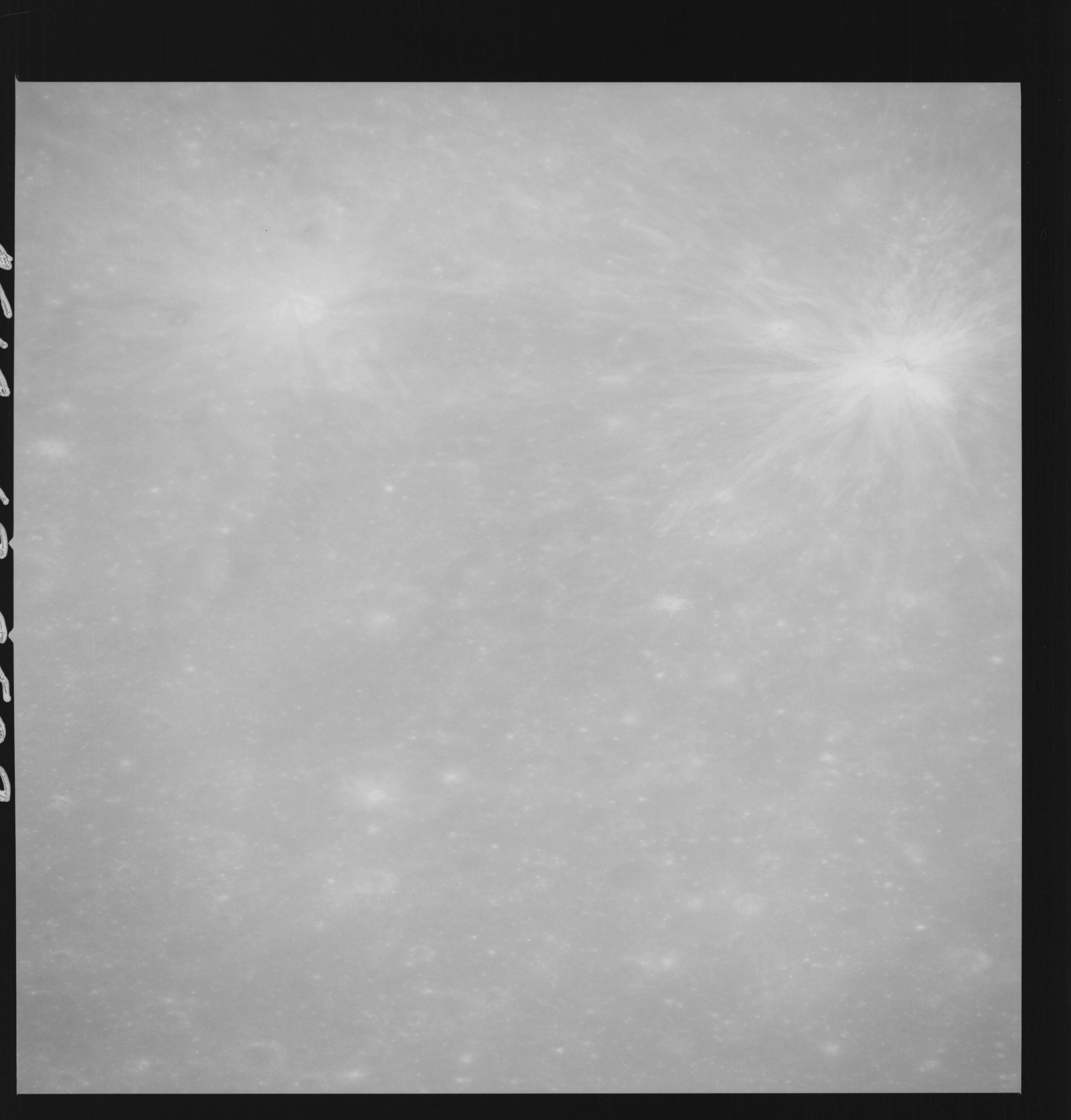 | AS14-69-9509 APOLLO 16 LANDING SITE DESCARTES Location: 9° S, 15.5° E Image credit: National Archives and Records Administration |
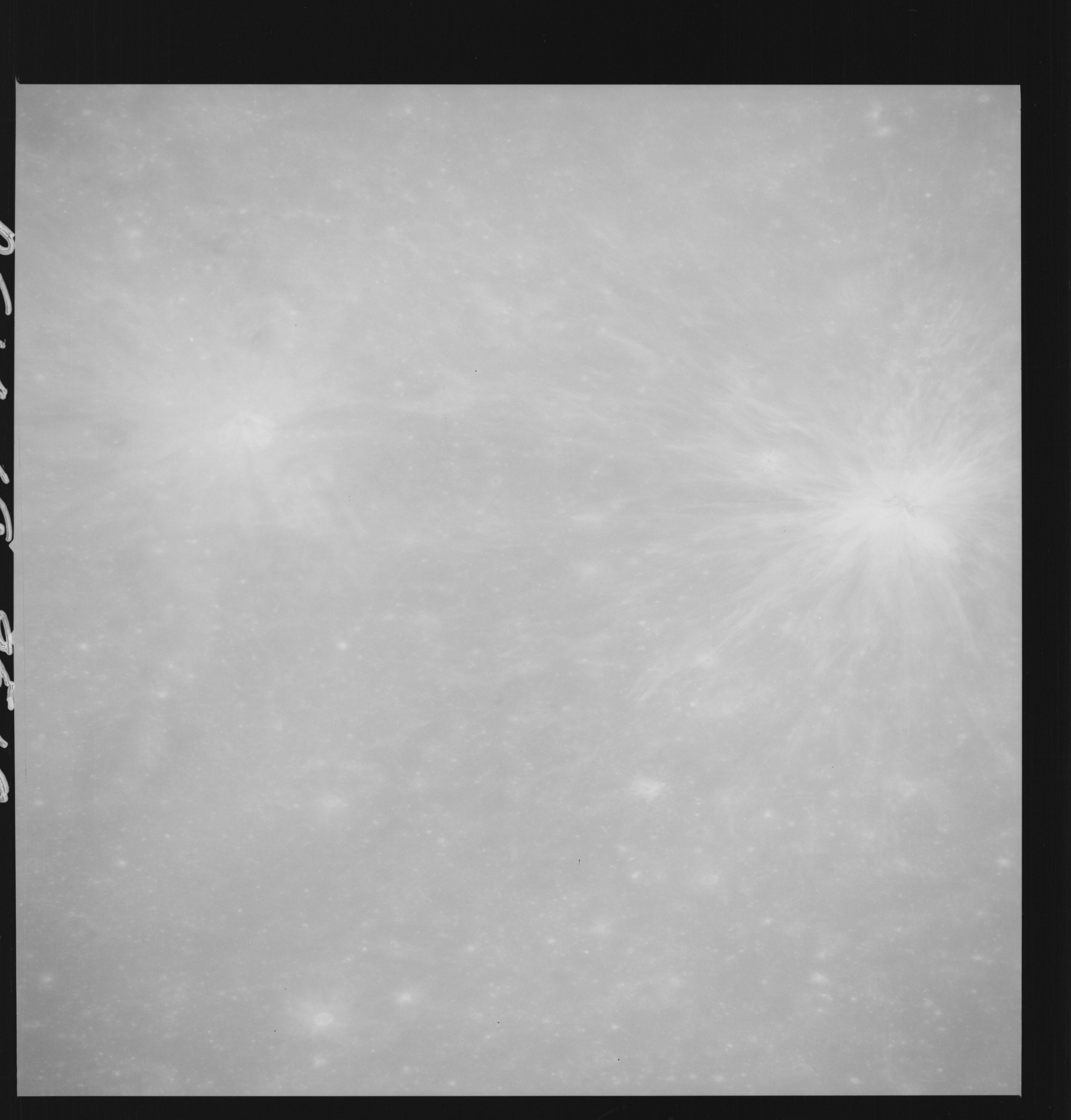 | AS14-69-9510 APOLLO 16 LANDING SITE DESCARTES Location: 9° S, 15.5° E Image credit: National Archives and Records Administration |
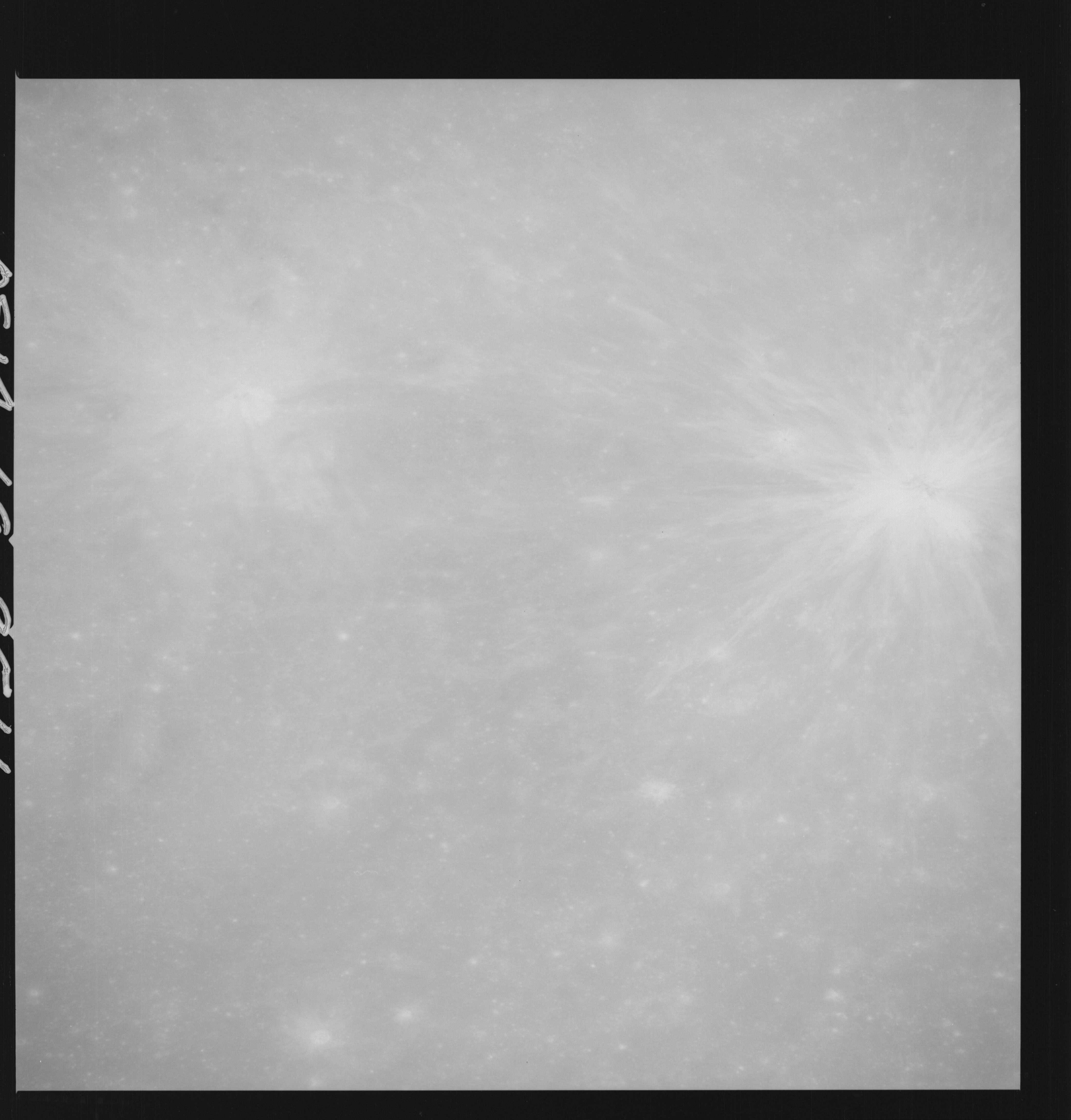 | AS14-69-9511 APOLLO 16 LANDING SITE DESCARTES Location: 9° S, 15.5° E Image credit: National Archives and Records Administration |
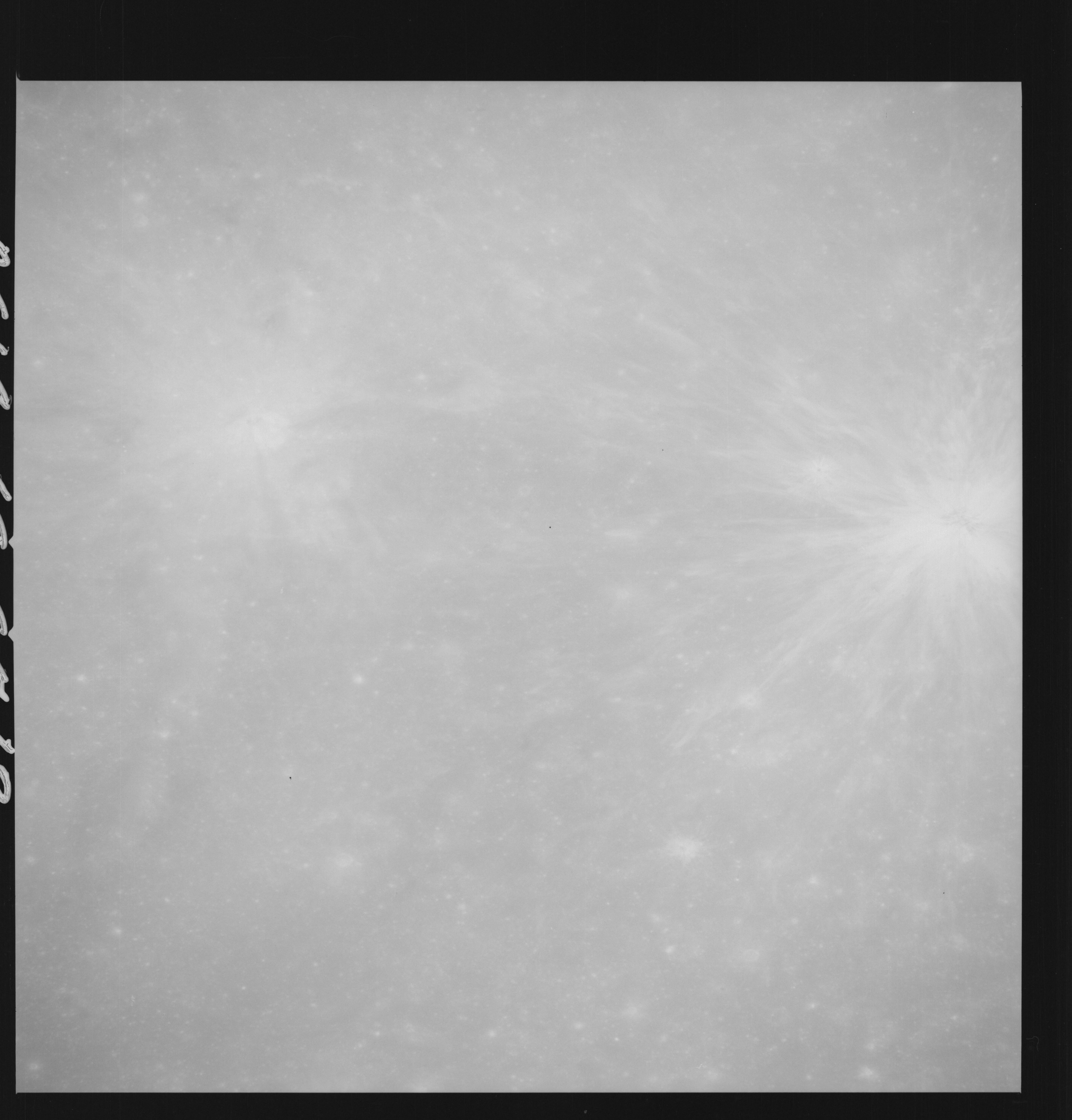 | AS14-69-9512 APOLLO 16 LANDING SITE DESCARTES Location: 9° S, 15.5° E Image credit: National Archives and Records Administration |
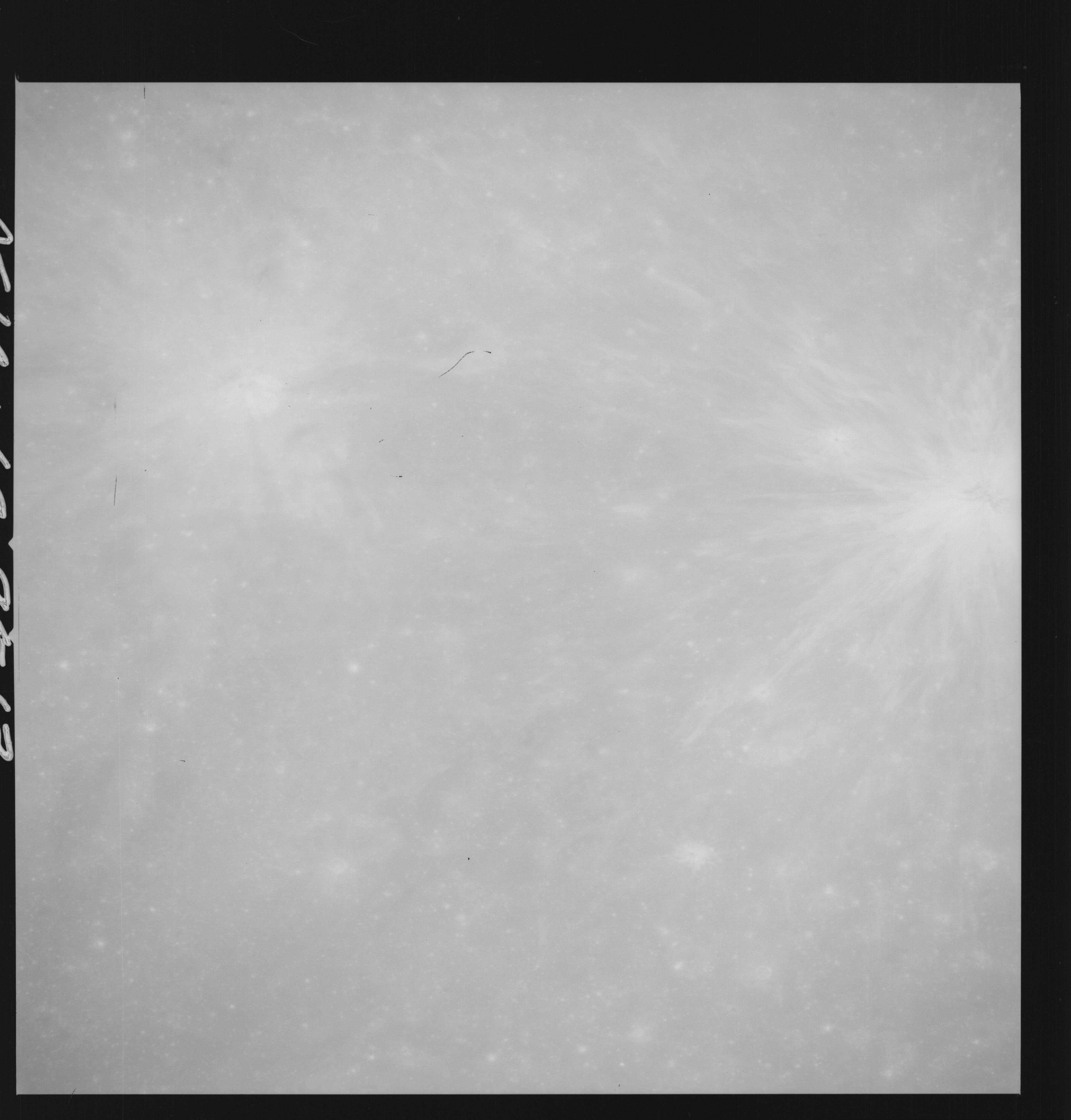 | AS14-69-9513 APOLLO 16 LANDING SITE DESCARTES Location: 9° S, 15.5° E Image credit: National Archives and Records Administration |
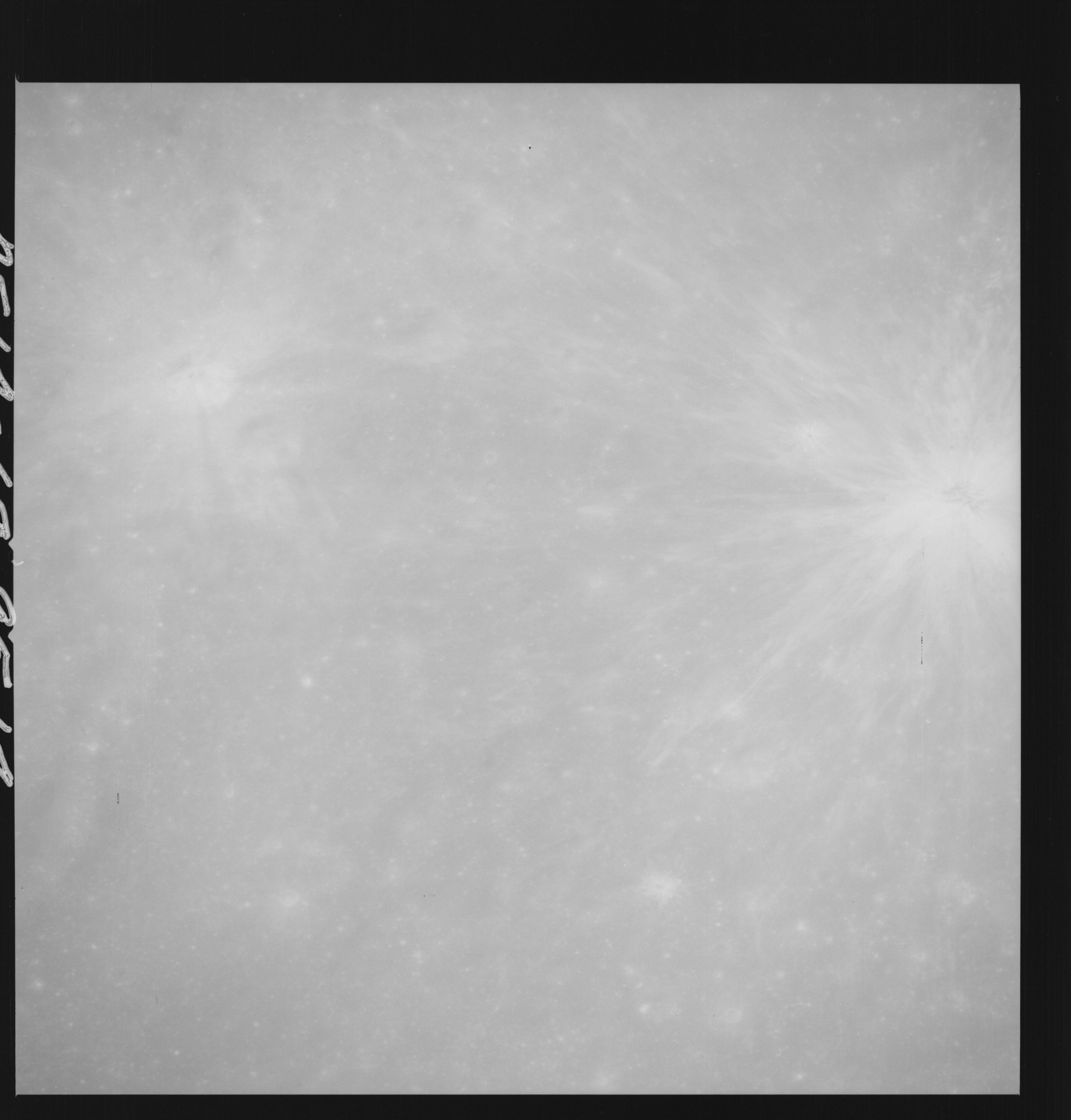 | AS14-69-9514 APOLLO 16 LANDING SITE DESCARTES Location: 9° S, 15.5° E Image credit: National Archives and Records Administration |
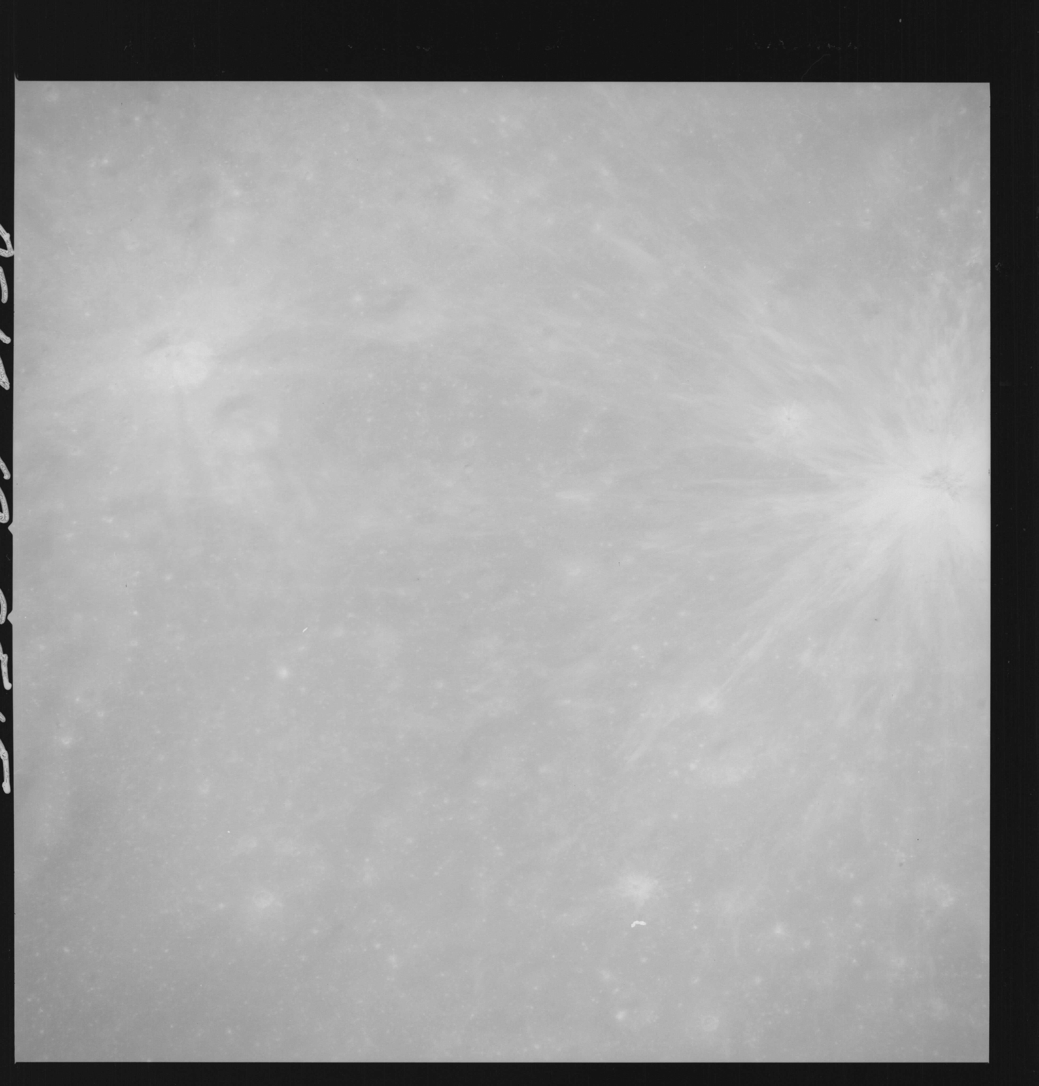 | AS14-69-9515 APOLLO 16 LANDING SITE DESCARTES Location: 9° S, 15.5° E Image credit: National Archives and Records Administration |
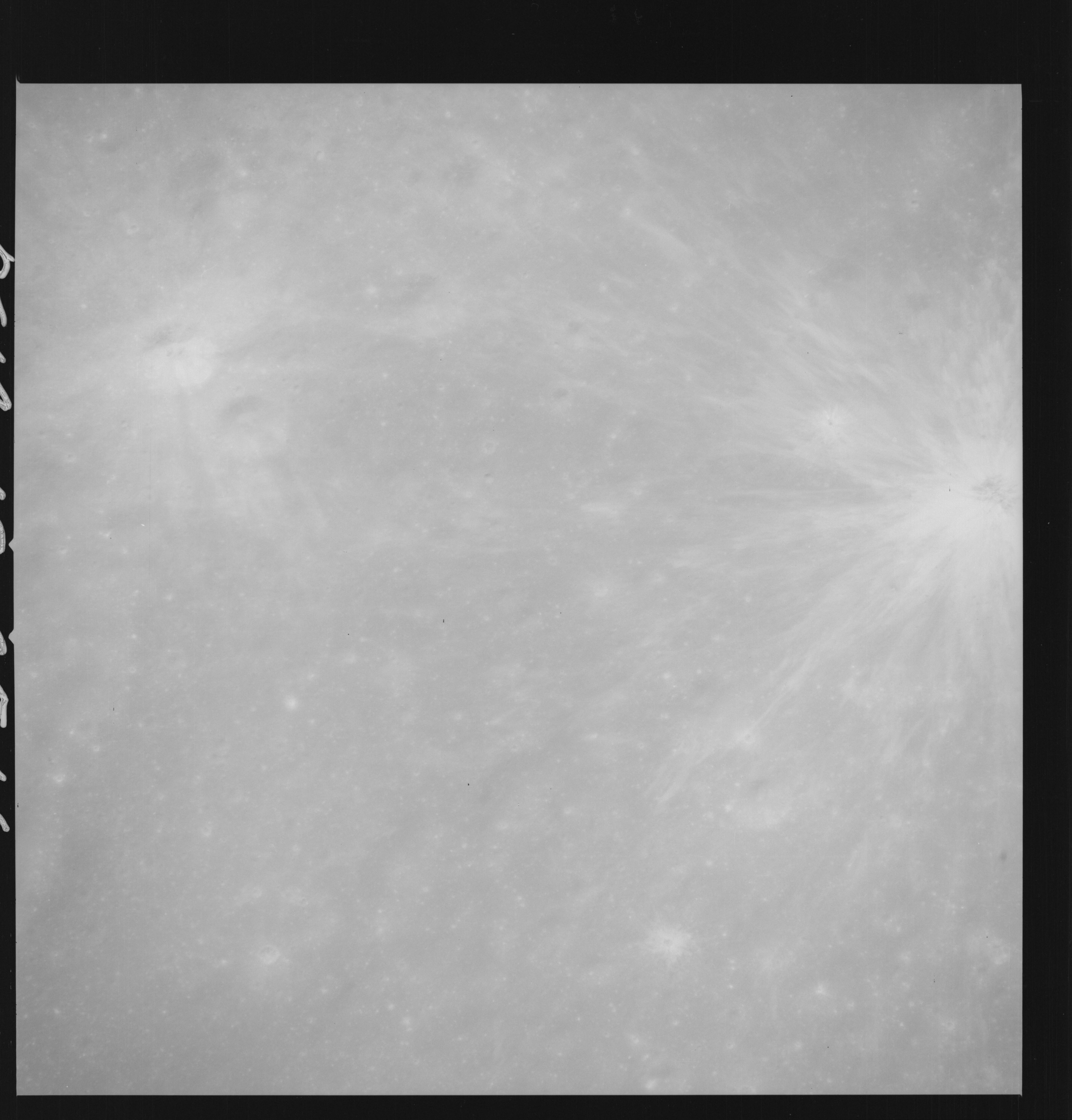 | AS14-69-9516 APOLLO 16 LANDING SITE DESCARTES Location: 9° S, 15.5° E Image credit: National Archives and Records Administration |
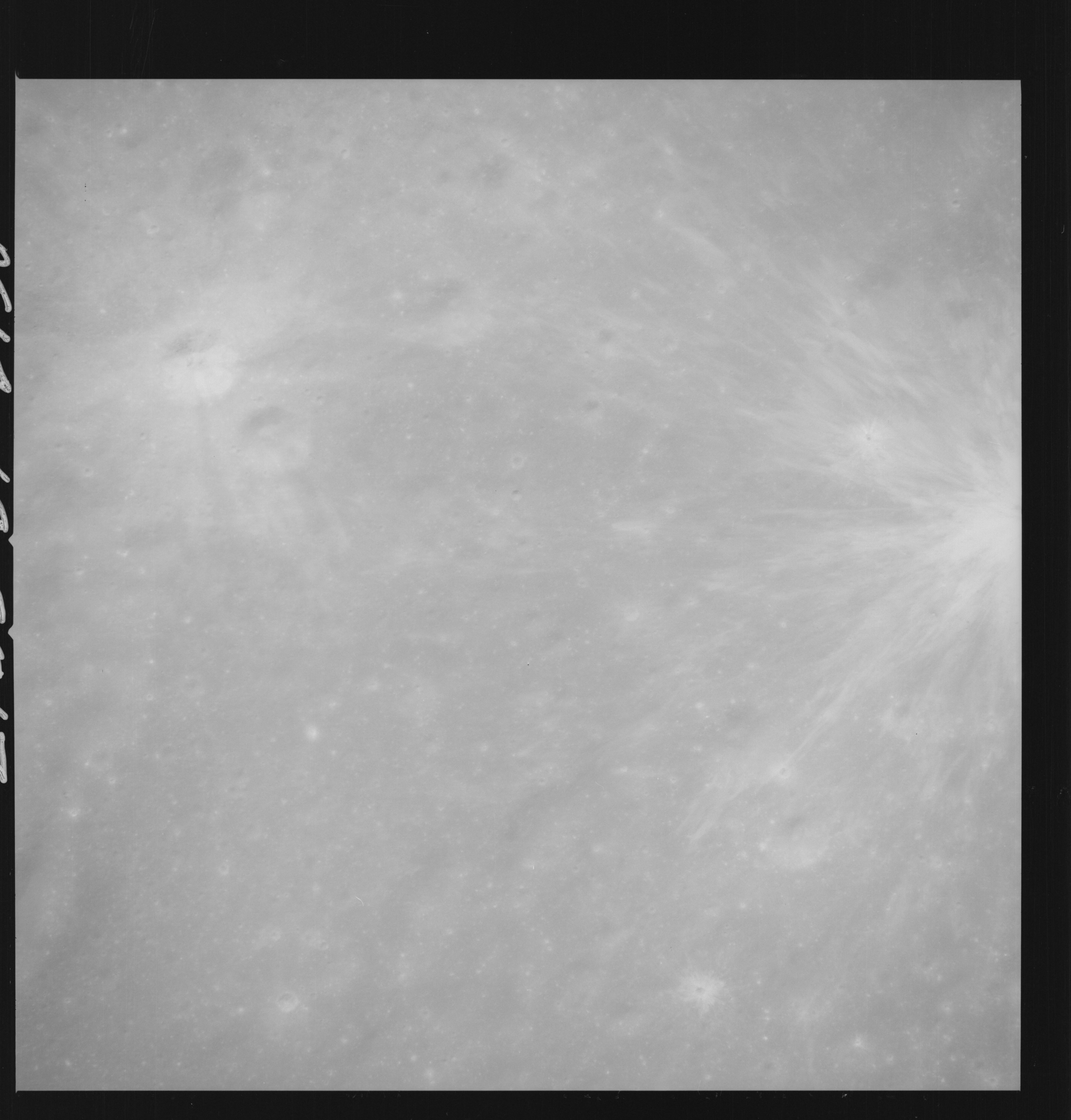 | AS14-69-9517 APOLLO 16 LANDING SITE DESCARTES Location: 9° S, 15.5° E Image credit: National Archives and Records Administration |
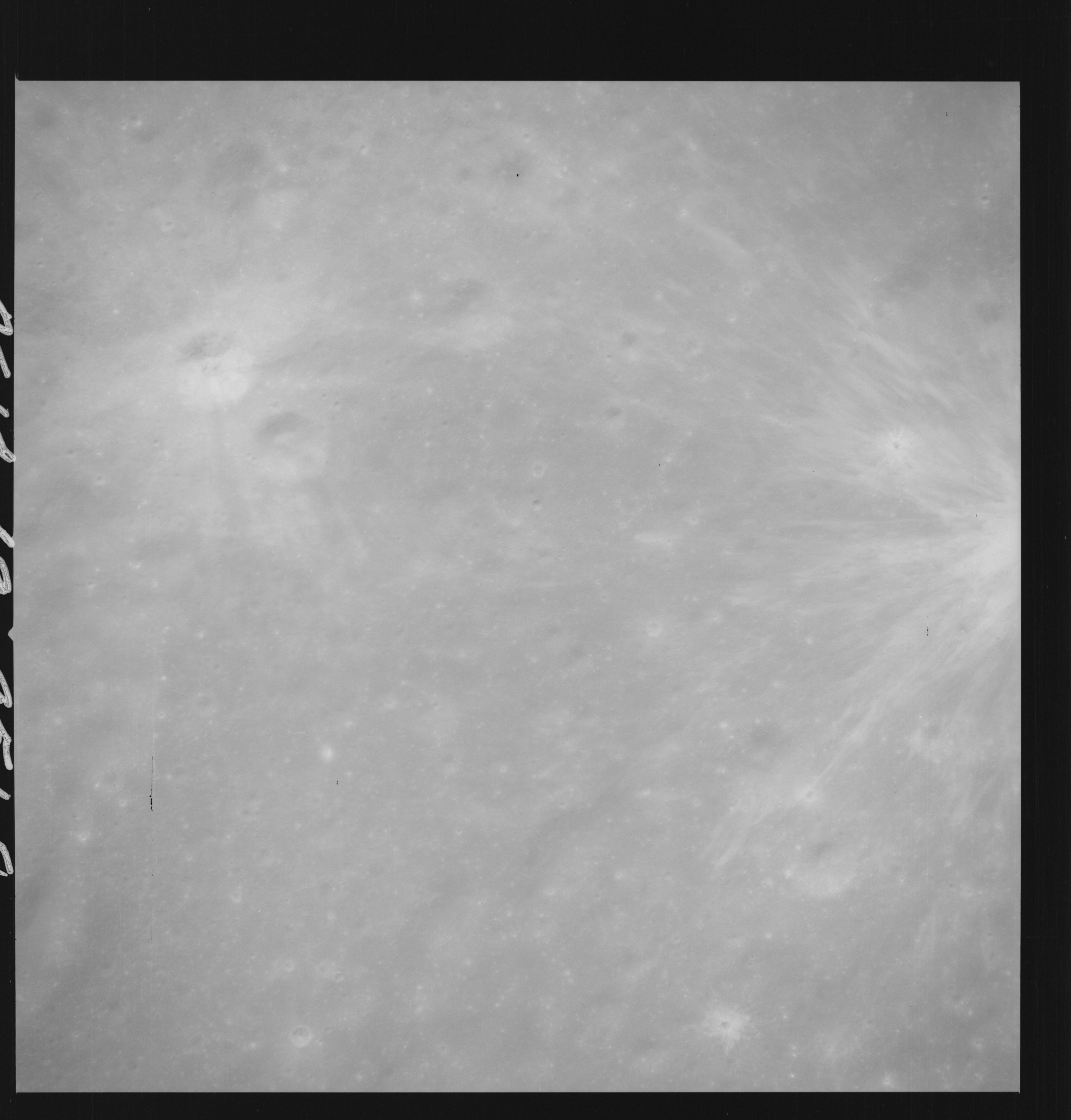 | AS14-69-9518 APOLLO 16 LANDING SITE DESCARTES Location: 9° S, 15.5° E Image credit: National Archives and Records Administration |
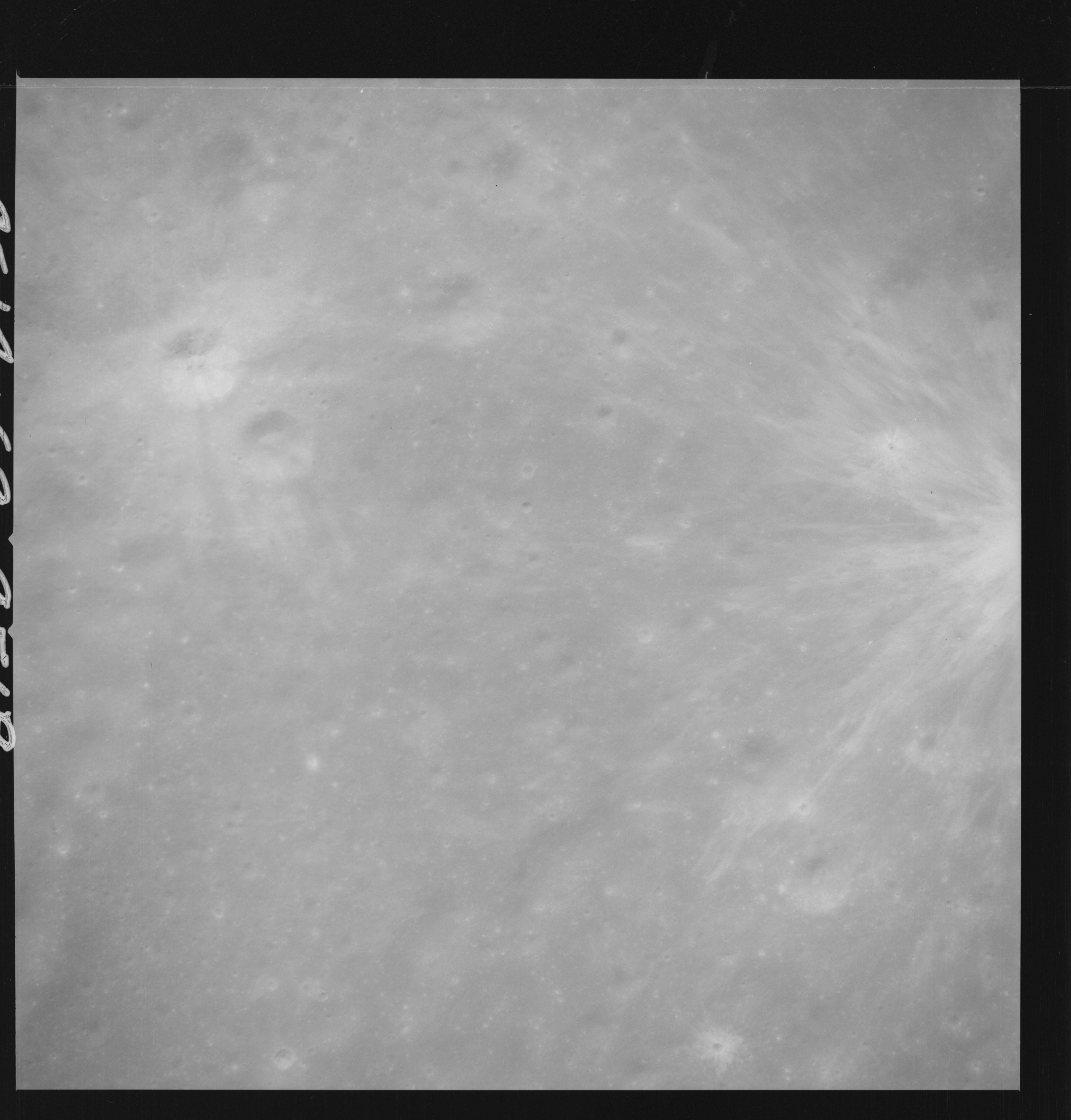 | AS14-69-9519 APOLLO 16 LANDING SITE DESCARTES Location: 9° S, 15.5° E Image credit: National Archives and Records Administration |
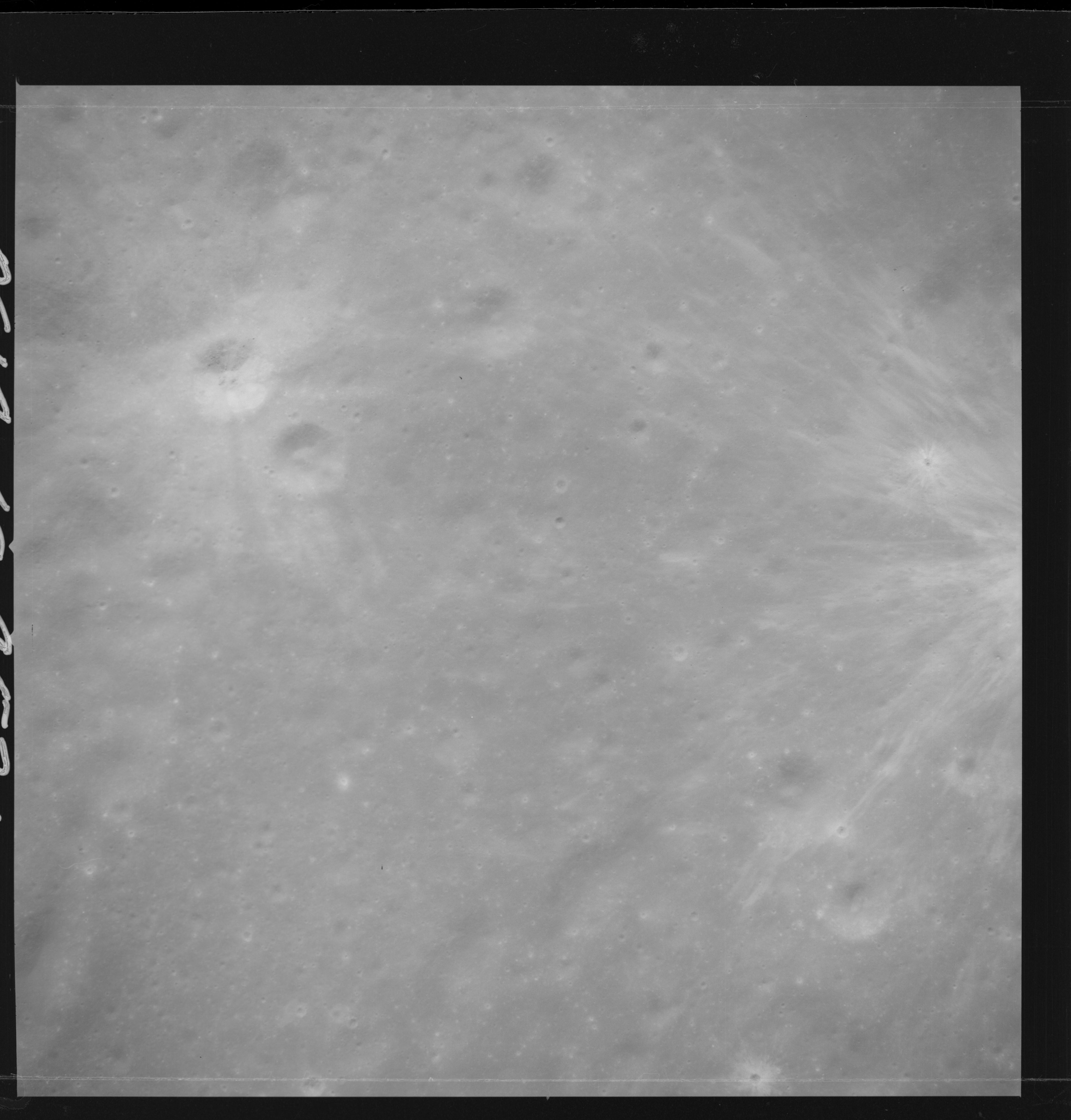 | AS14-69-9521 APOLLO 16 LANDING SITE DESCARTES Location: 9° S, 15.5° E Image credit: National Archives and Records Administration |
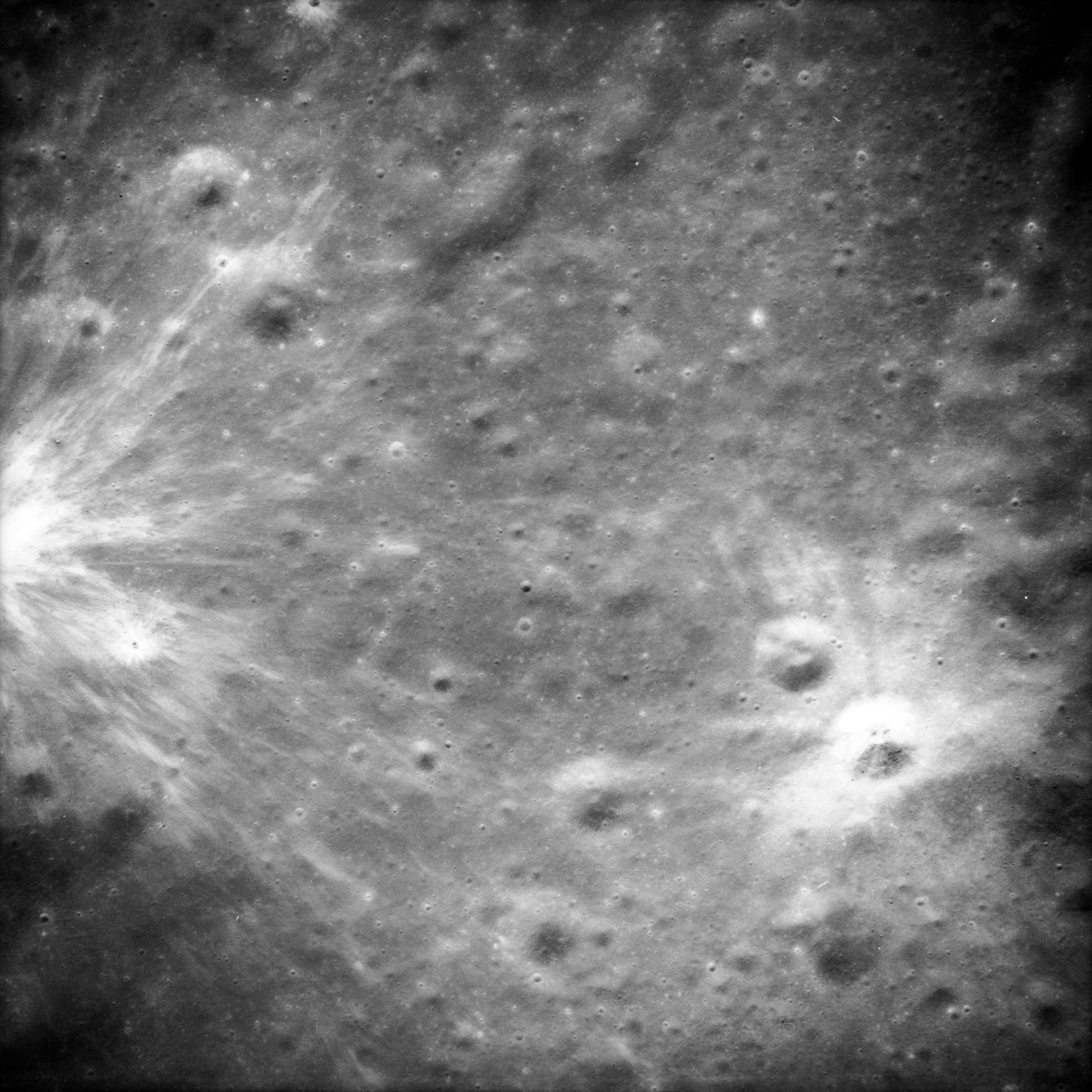 | AS14-69-9523 APOLLO 16 LANDING SITE DESCARTES Location: 9° S, 15.5° E Image credit: National Archives and Records Administration |
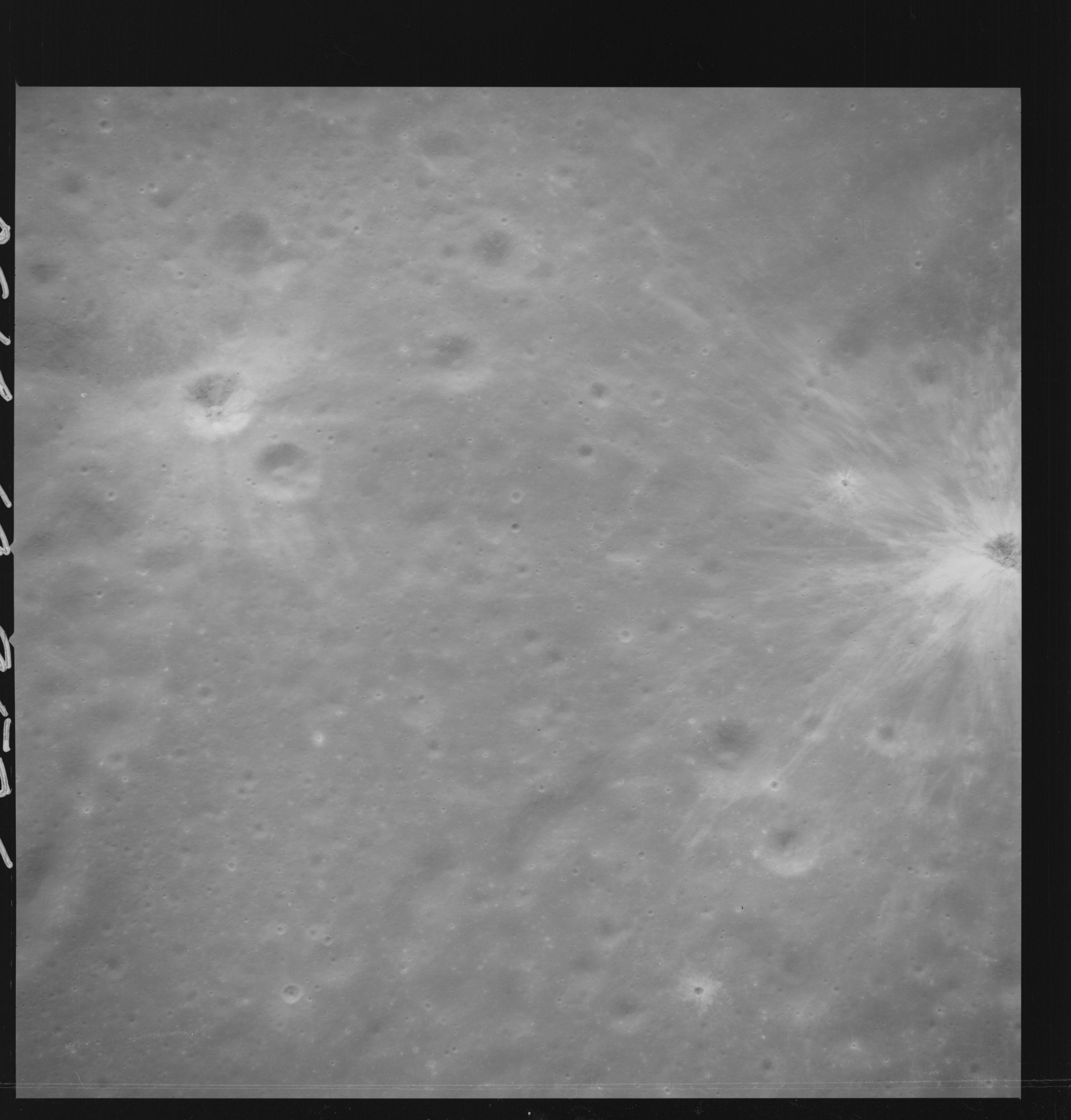 | AS14-69-9526 A nearly vertical view of the Descartes site, with South Ray Crater at the right edge, Baby Ray next to it and North Ray near the left edge. Location: 9° S, 15.5° E Image credit: National Archives and Records Administration |
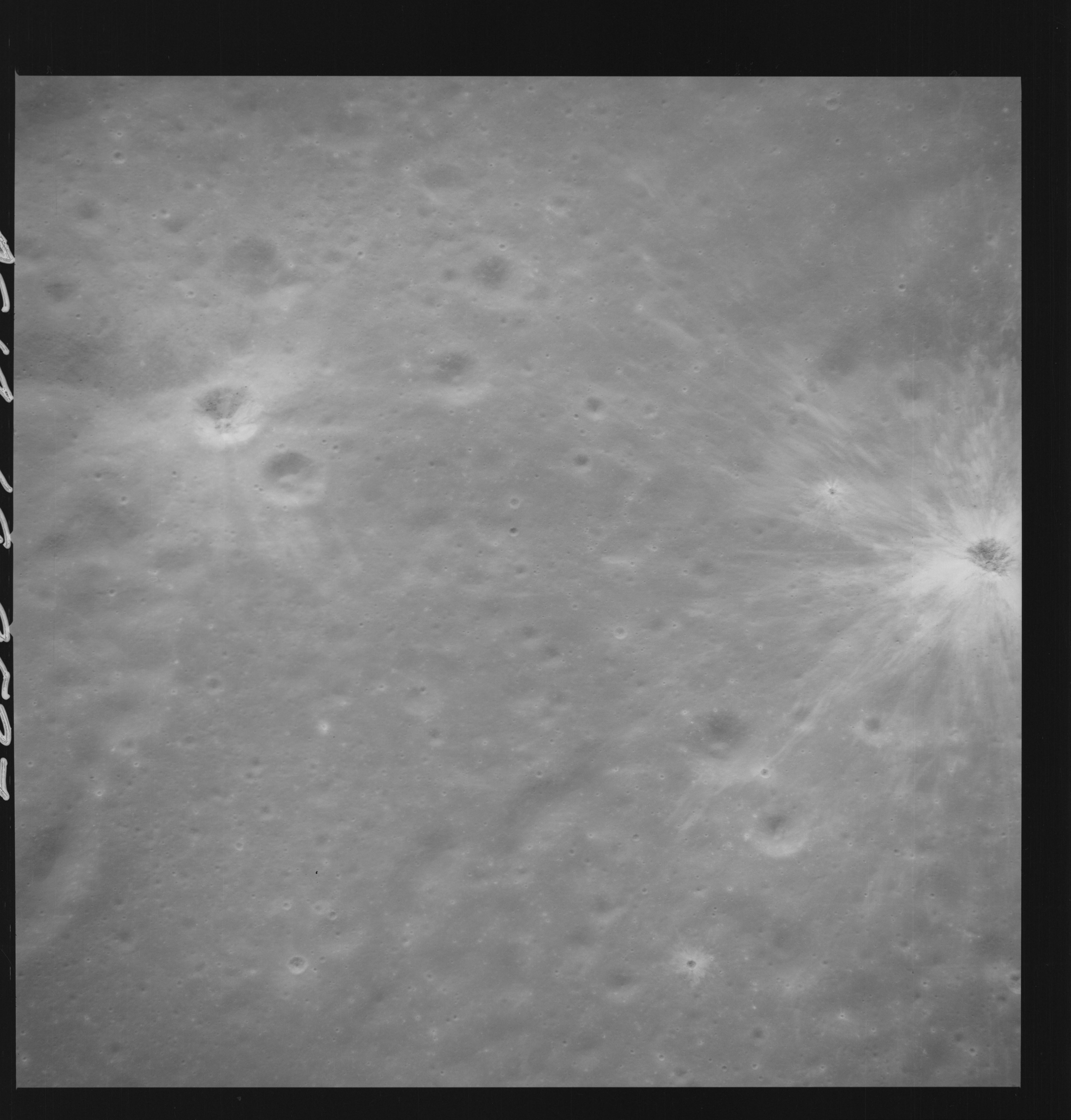 | AS14-69-9527 APOLLO 16 LANDING SITE DESCARTES Location: 9° S, 15.5° E Image credit: National Archives and Records Administration |
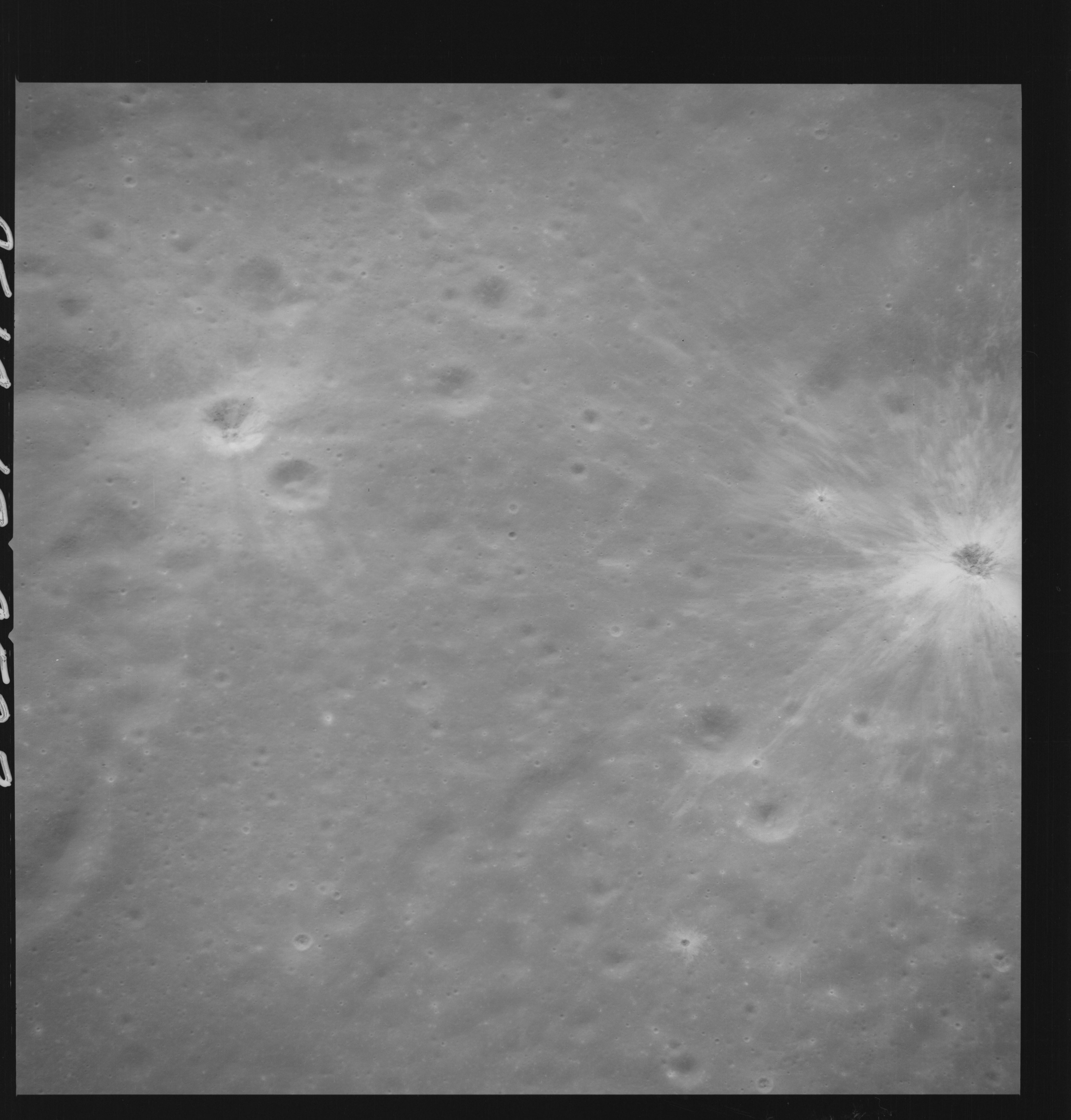 | AS14-69-9528 APOLLO 16 LANDING SITE DESCARTES Location: 9° S, 15.5° E Image credit: National Archives and Records Administration |
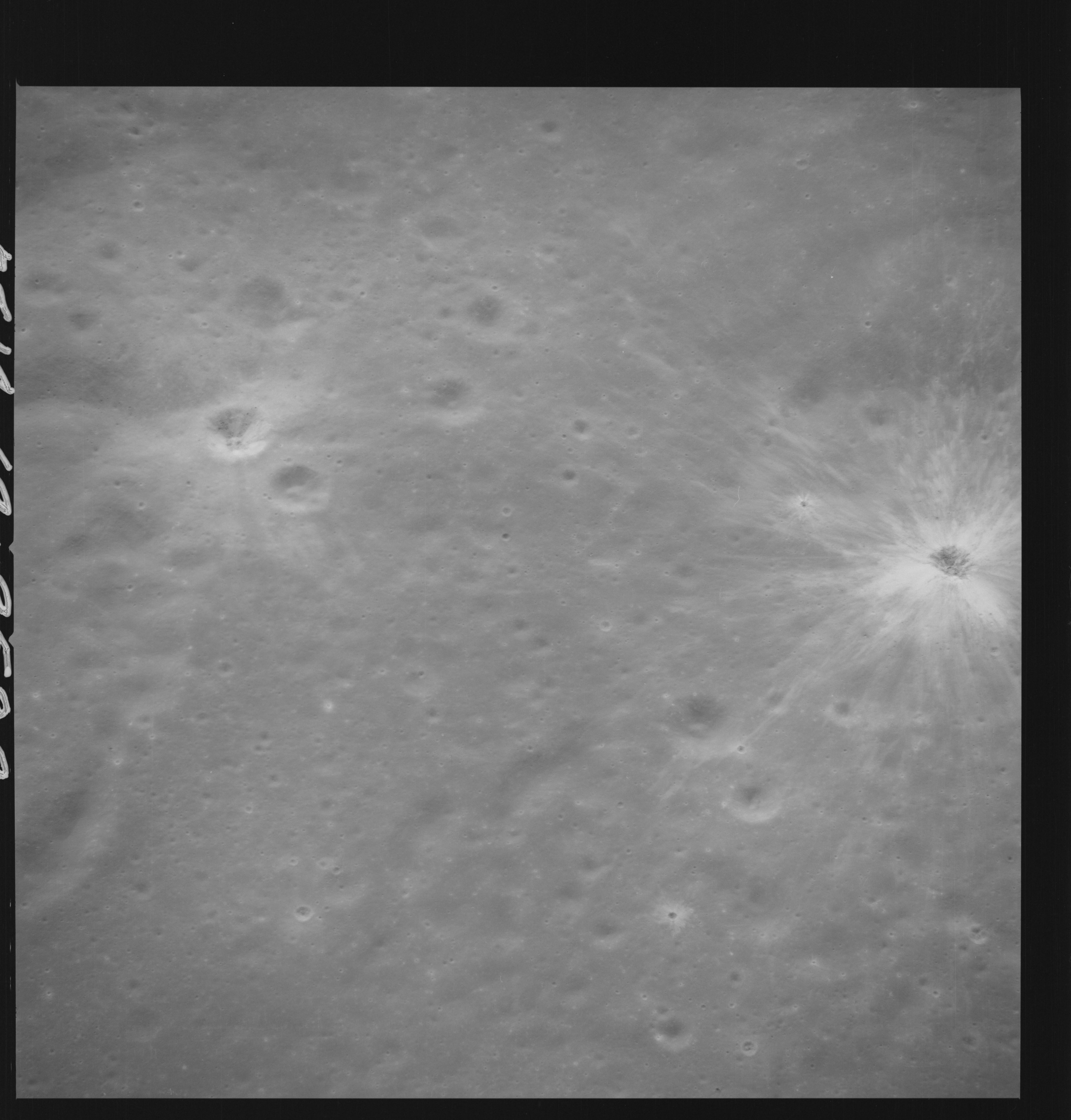 | AS14-69-9529 APOLLO 16 LANDING SITE DESCARTES Location: 9° S, 15.5° E Image credit: National Archives and Records Administration |
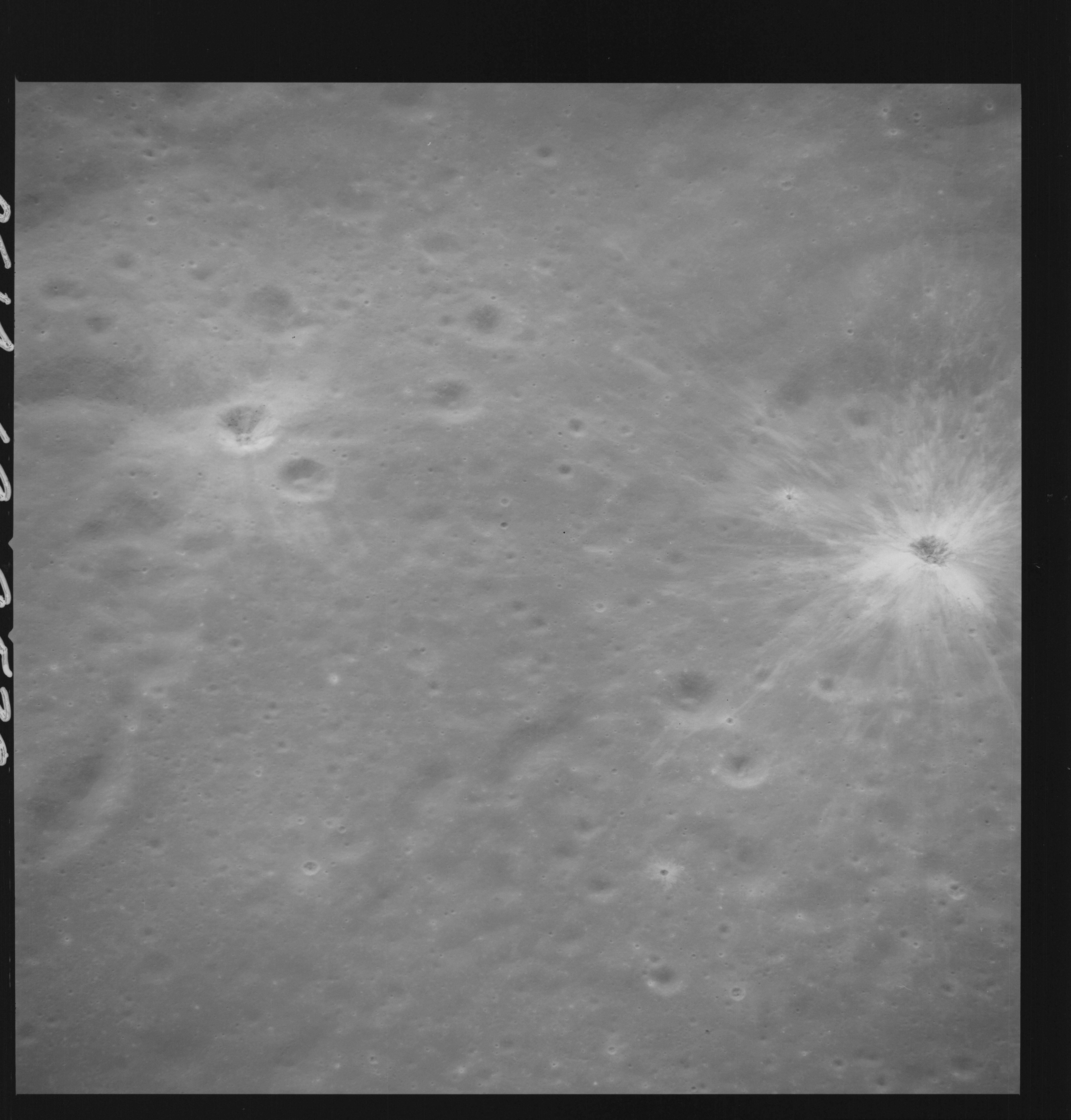 | AS14-69-9530 APOLLO 16 LANDING SITE DESCARTES Location: 9° S, 15.5° E Image credit: National Archives and Records Administration |
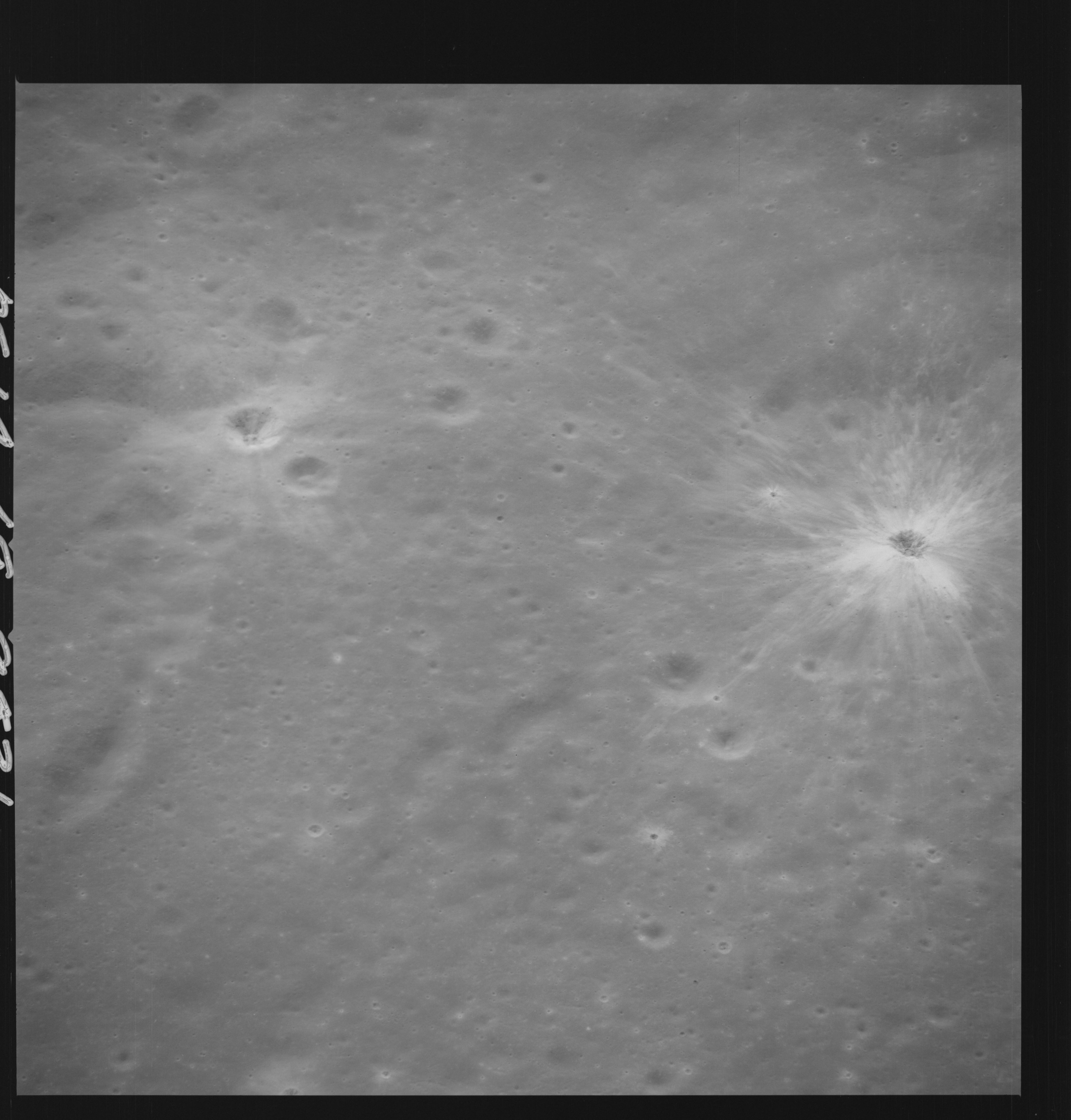 | AS14-69-9531 APOLLO 16 LANDING SITE DESCARTES Location: 9° S, 15.5° E Image credit: National Archives and Records Administration |
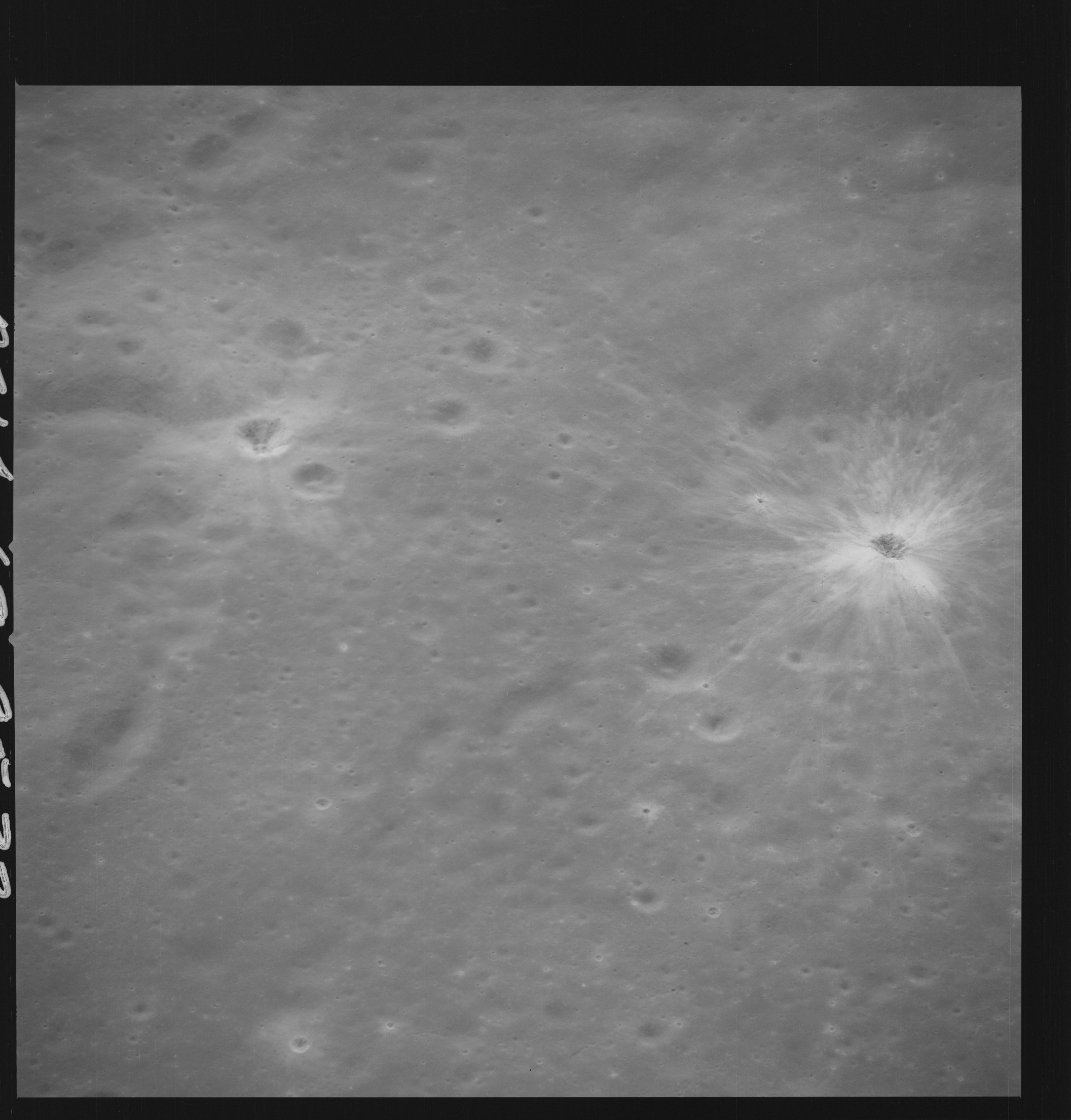 | AS14-69-9532 APOLLO 16 LANDING SITE DESCARTES Location: 9° S, 15.5° E Image credit: National Archives and Records Administration |
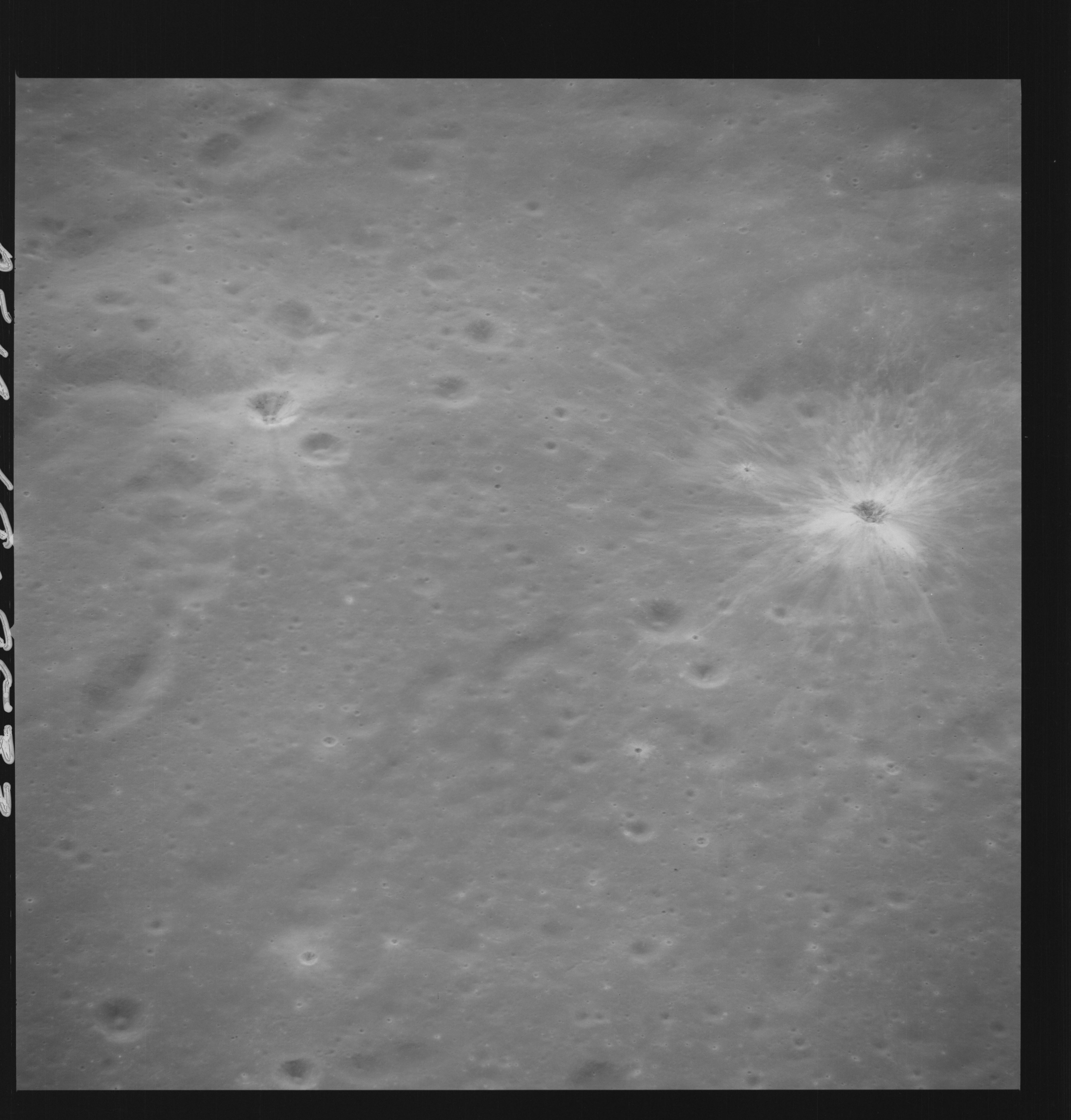 | AS14-69-9533 APOLLO 16 LANDING SITE DESCARTES Location: 9° S, 15.5° E Image credit: National Archives and Records Administration |
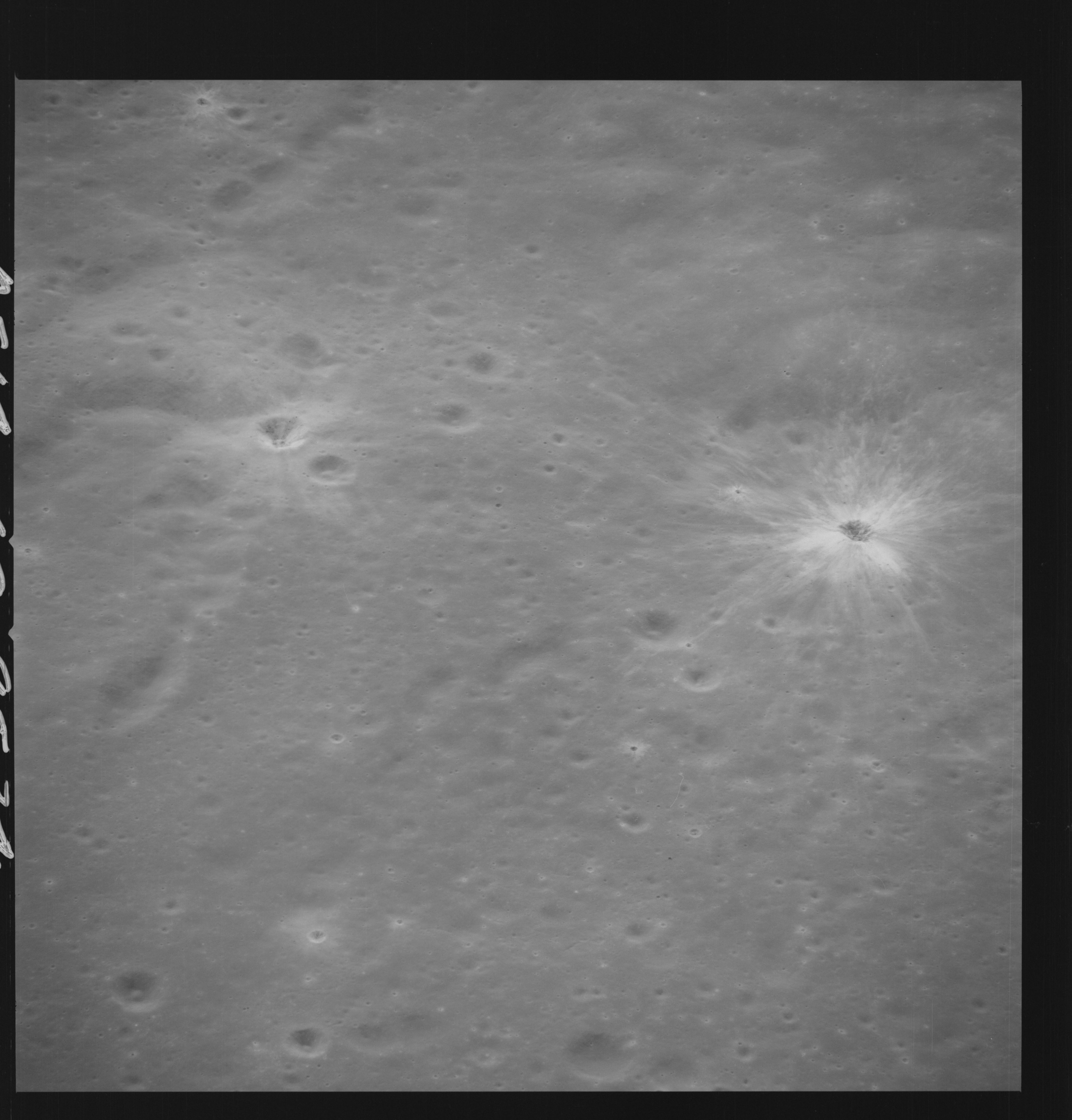 | AS14-69-9534 APOLLO 16 LANDING SITE DESCARTES Location: 9° S, 15.5° E Image credit: National Archives and Records Administration |
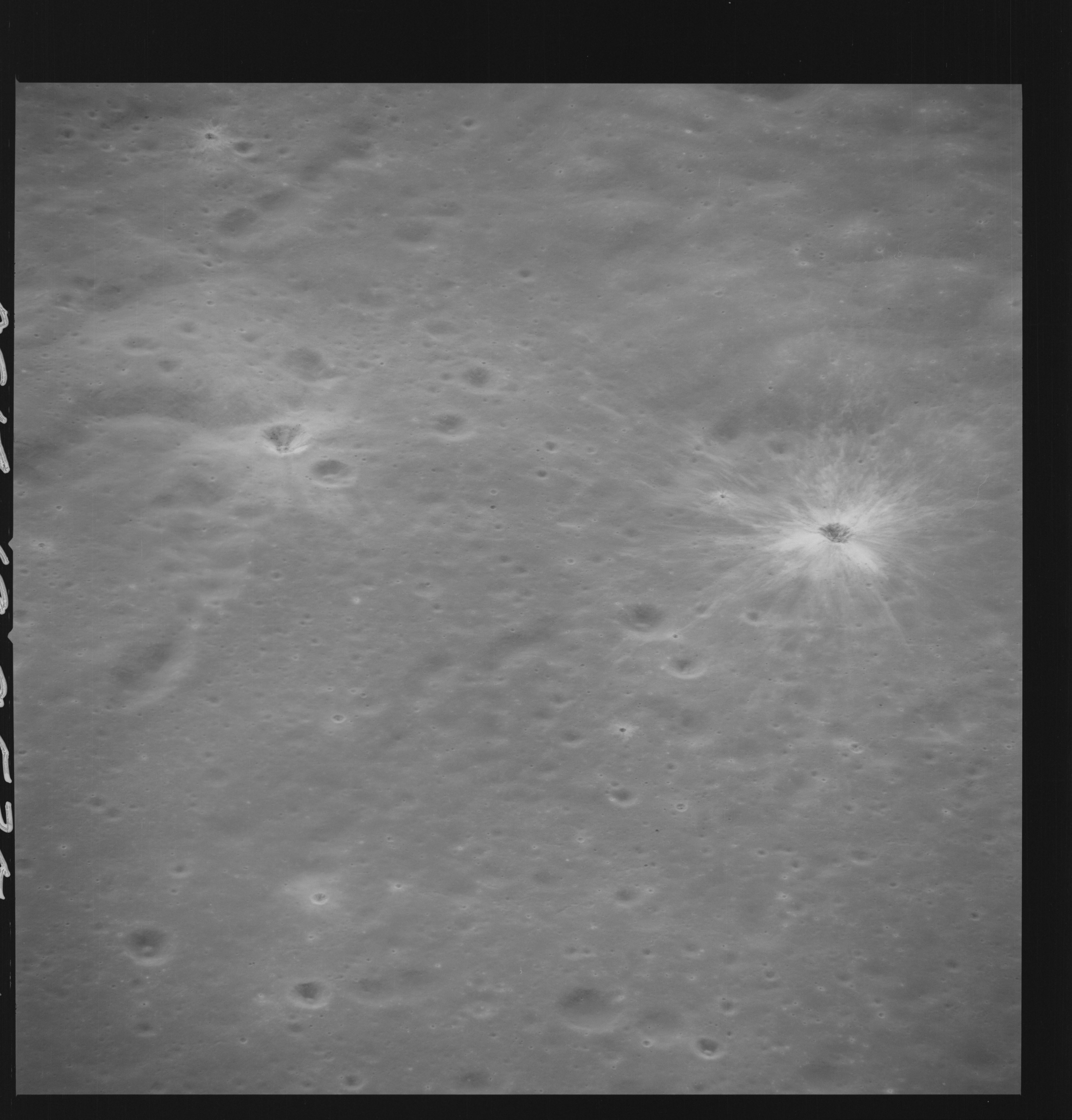 | AS14-69-9535 END OF FIRST 500 MM PASS OVER DESCARTES LANDING SITE Location: 9° S, 15.5° E Image credit: National Archives and Records Administration |
 | AS14-69-9536 APPROACH TO DESCARTES 2ND 500 MM PASS Location: 9° S, 19° E Image credit: National Archives and Records Administration |
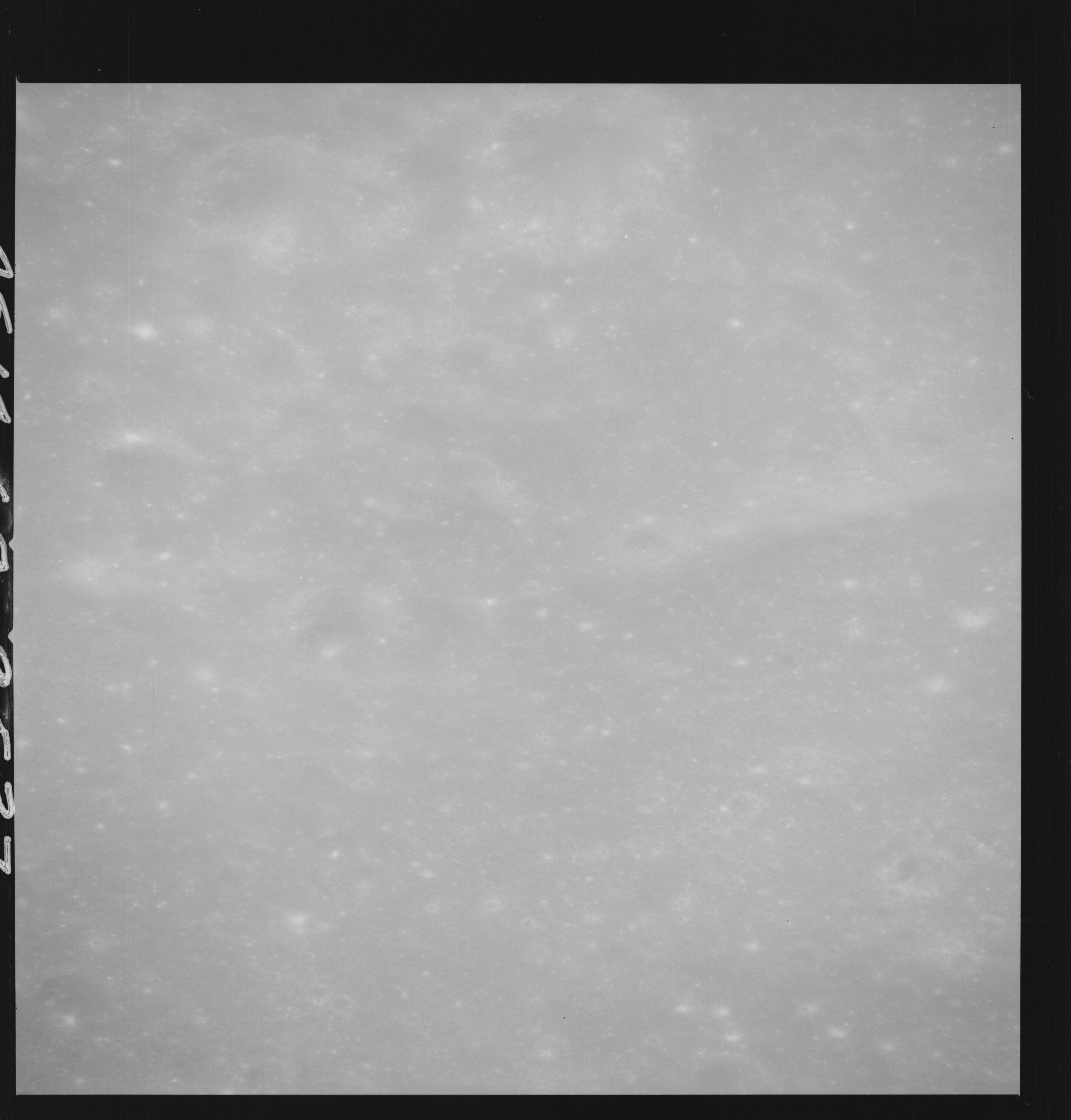 | AS14-69-9537 APPROACH TO DESCARTES 2ND 500 MM PASS Location: 9° S, 19° E Image credit: National Archives and Records Administration |
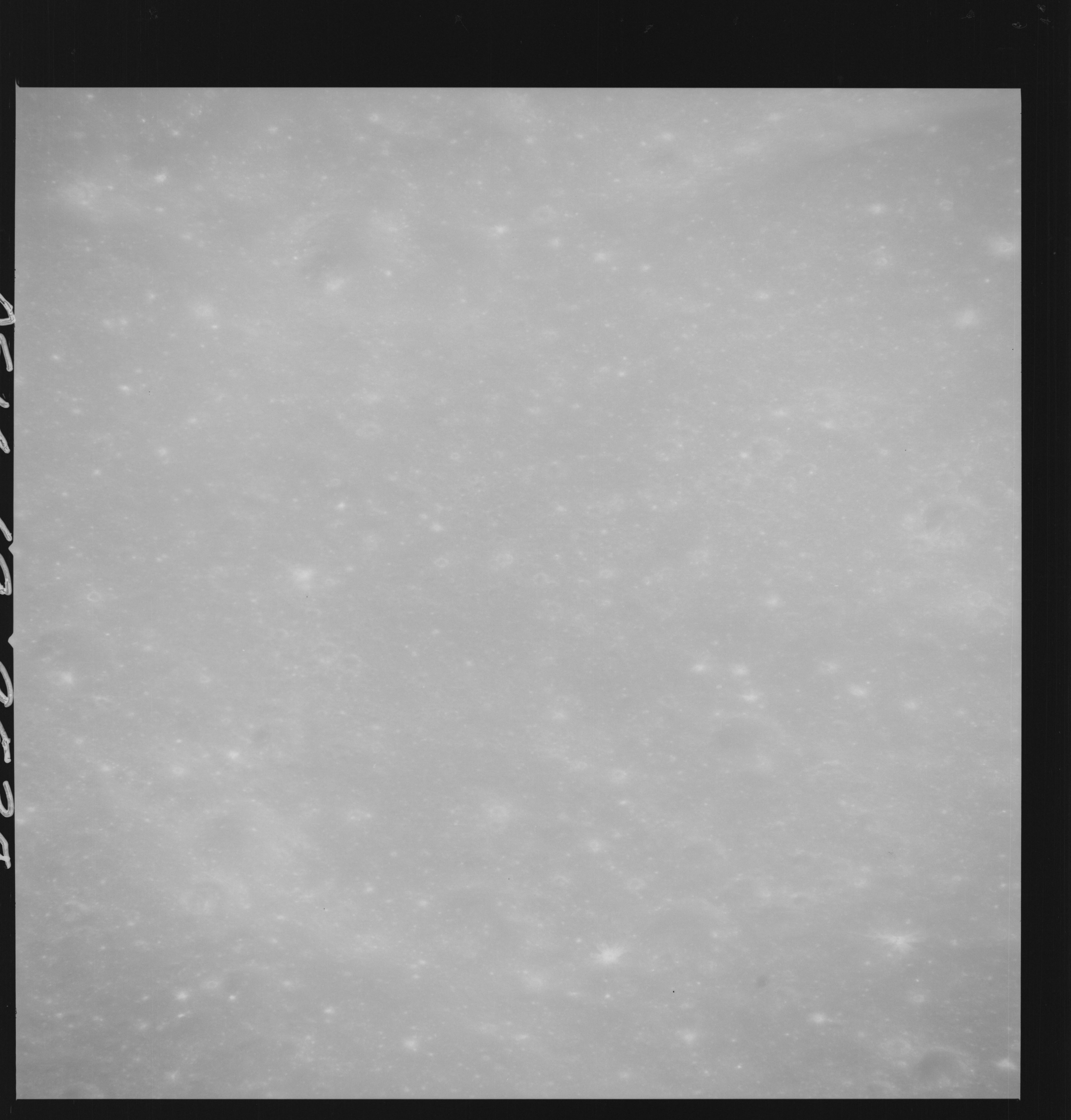 | AS14-69-9538 APPROACH TO DESCARTES 2ND 500 MM PASS Location: 9° S, 18.5° E Image credit: National Archives and Records Administration |
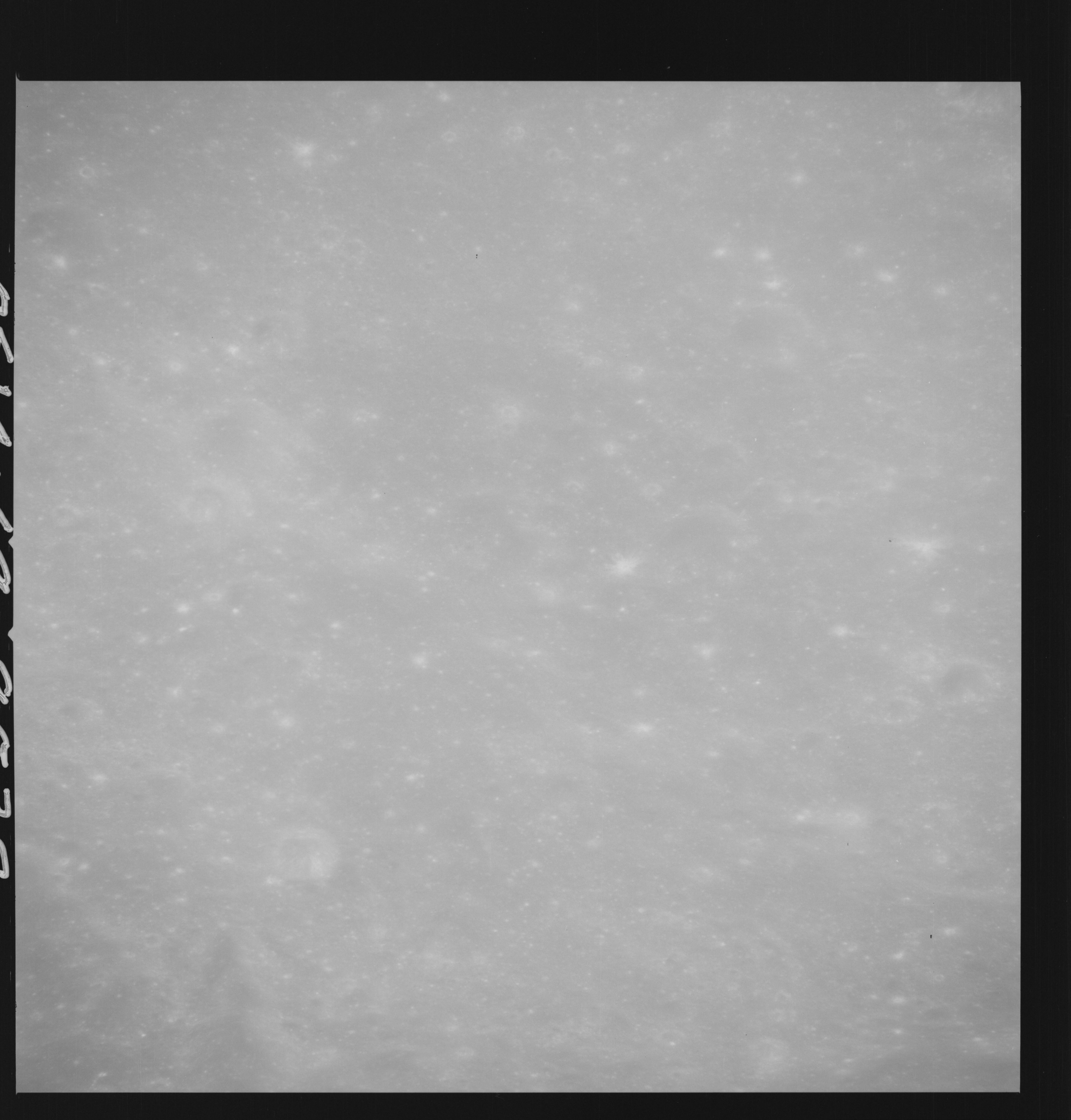 | AS14-69-9539 APPROACH TO DESCARTES 2ND 500 MM PASS Location: 9° S, 18.5° E Image credit: National Archives and Records Administration |
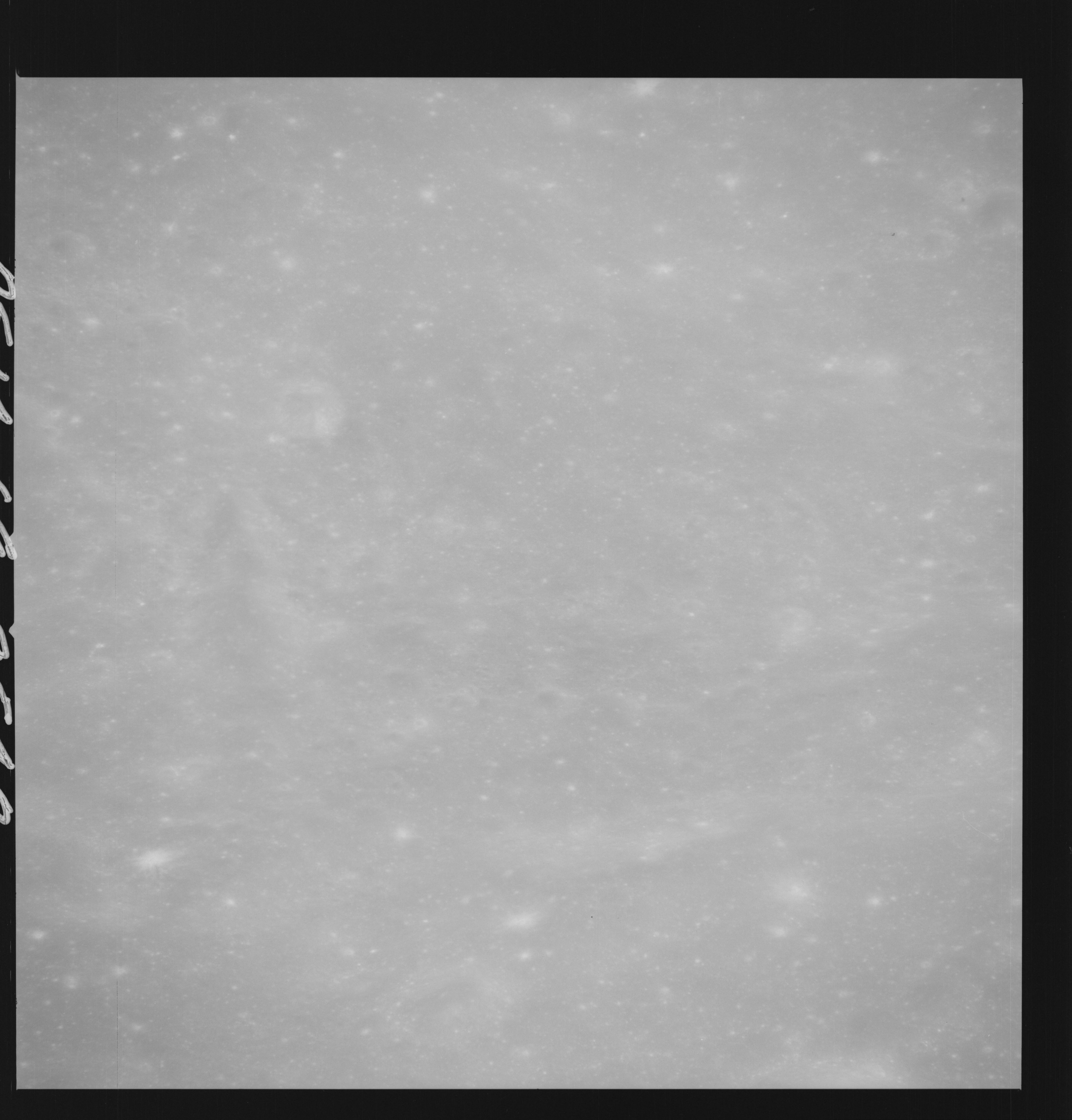 | AS14-69-9540 APPROACH TO DESCARTES 2ND 500 MM PASS Location: 9° S, 18° E Image credit: National Archives and Records Administration |
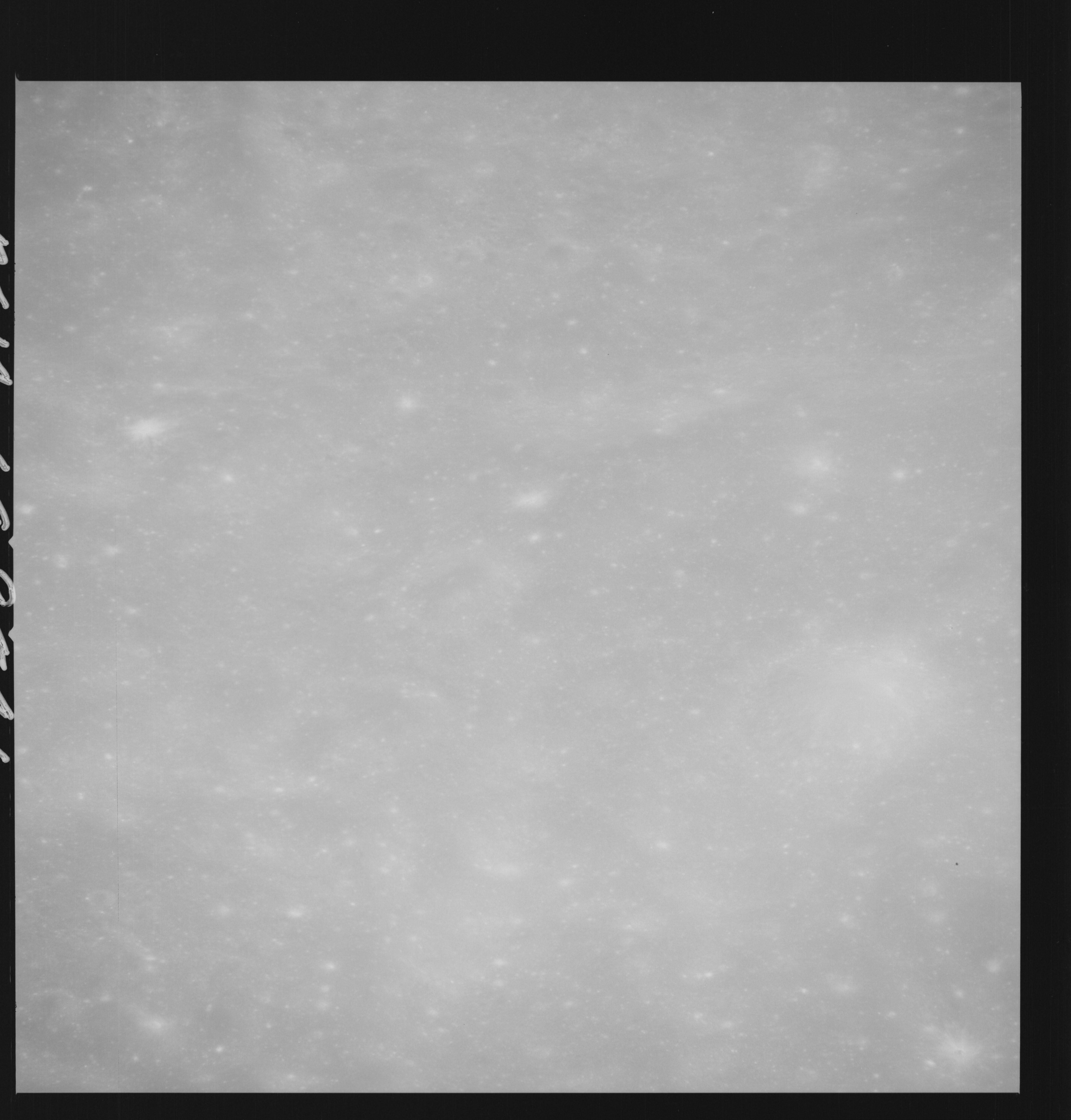 | AS14-69-9541 APPROACH TO DESCARTES 2ND 500 MM PASS Location: 9° S, 18° E Image credit: National Archives and Records Administration |
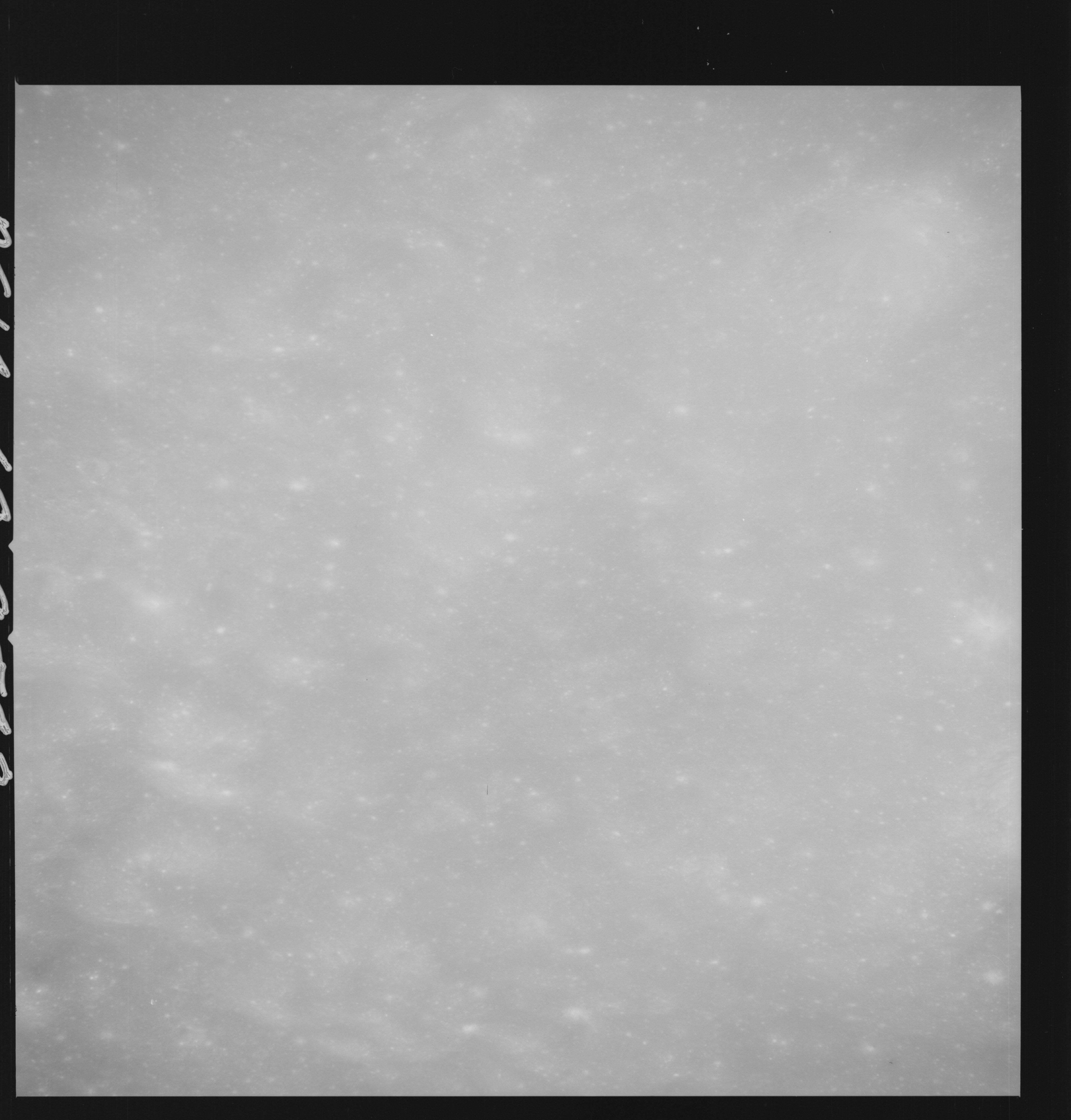 | AS14-69-9542 APPROACH TO DESCARTES 2ND 500 MM PASS Location: 9° S, 17.5° E Image credit: National Archives and Records Administration |
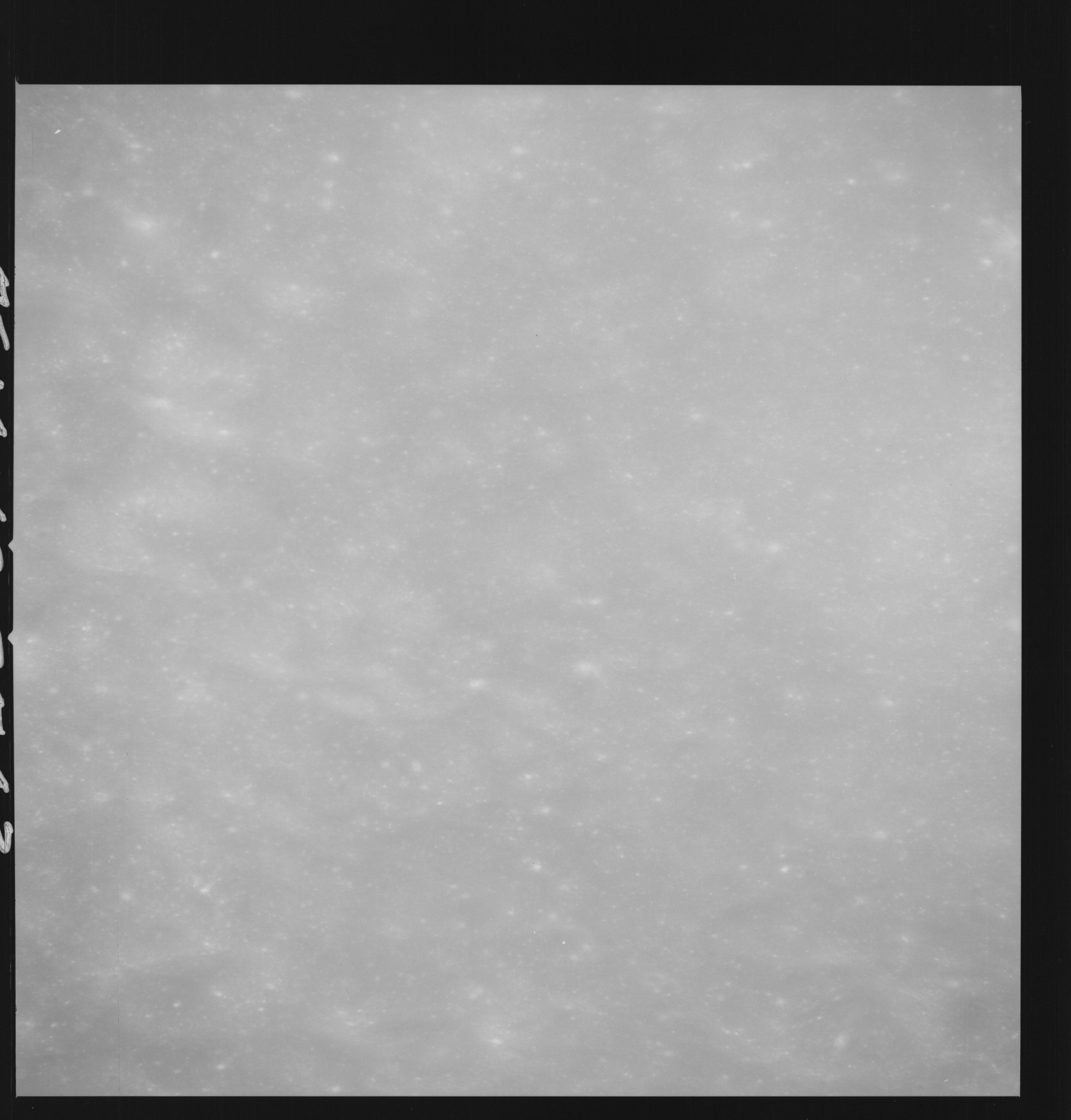 | AS14-69-9543 APPROACH TO DESCARTES 2ND 500 MM PASS Location: 9° S, 17.5° E Image credit: National Archives and Records Administration |
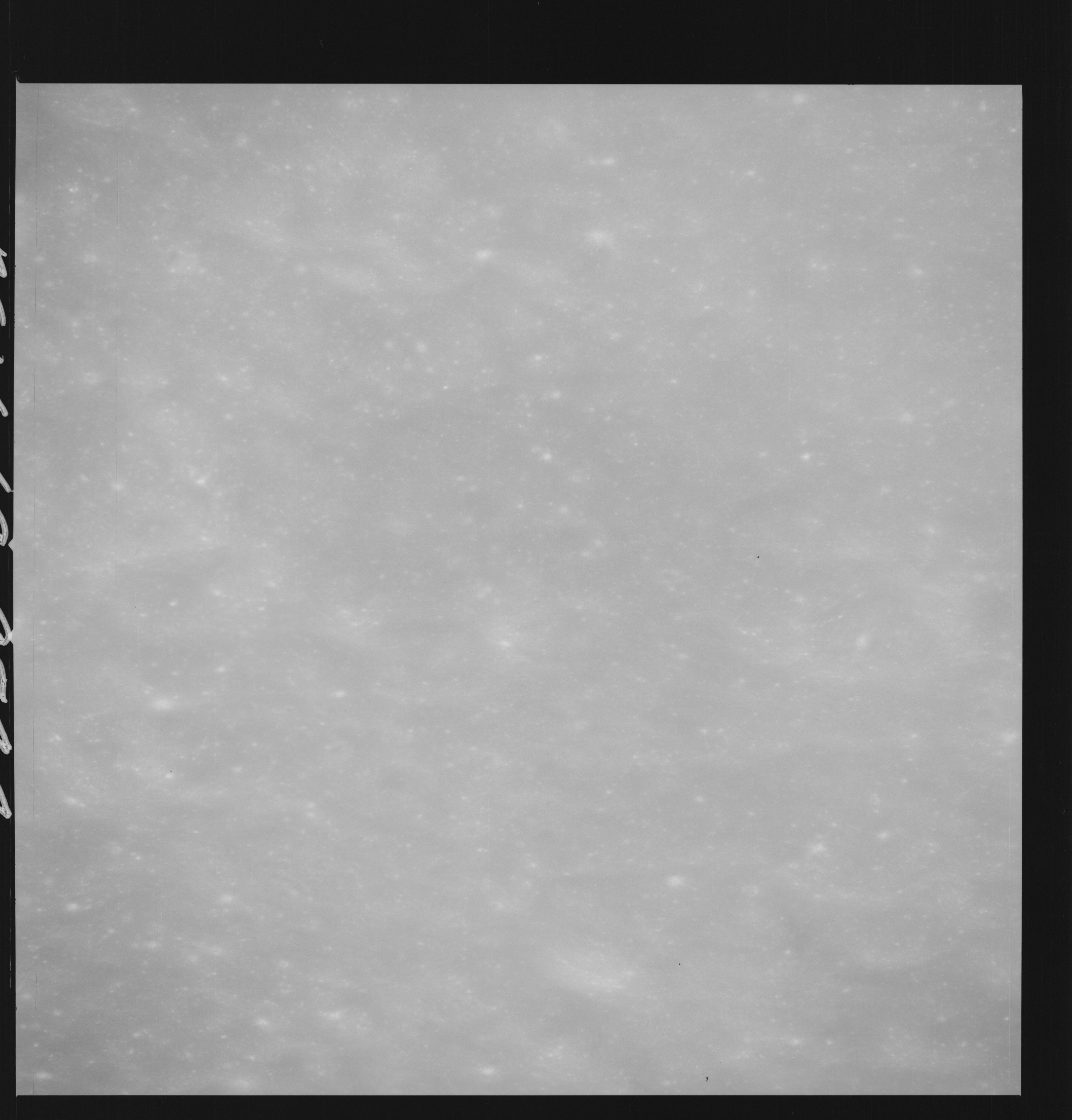 | AS14-69-9544 APPROACH TO DESCARTES 2ND 500 MM PASS Location: 9° S, 16.5° E Image credit: National Archives and Records Administration |
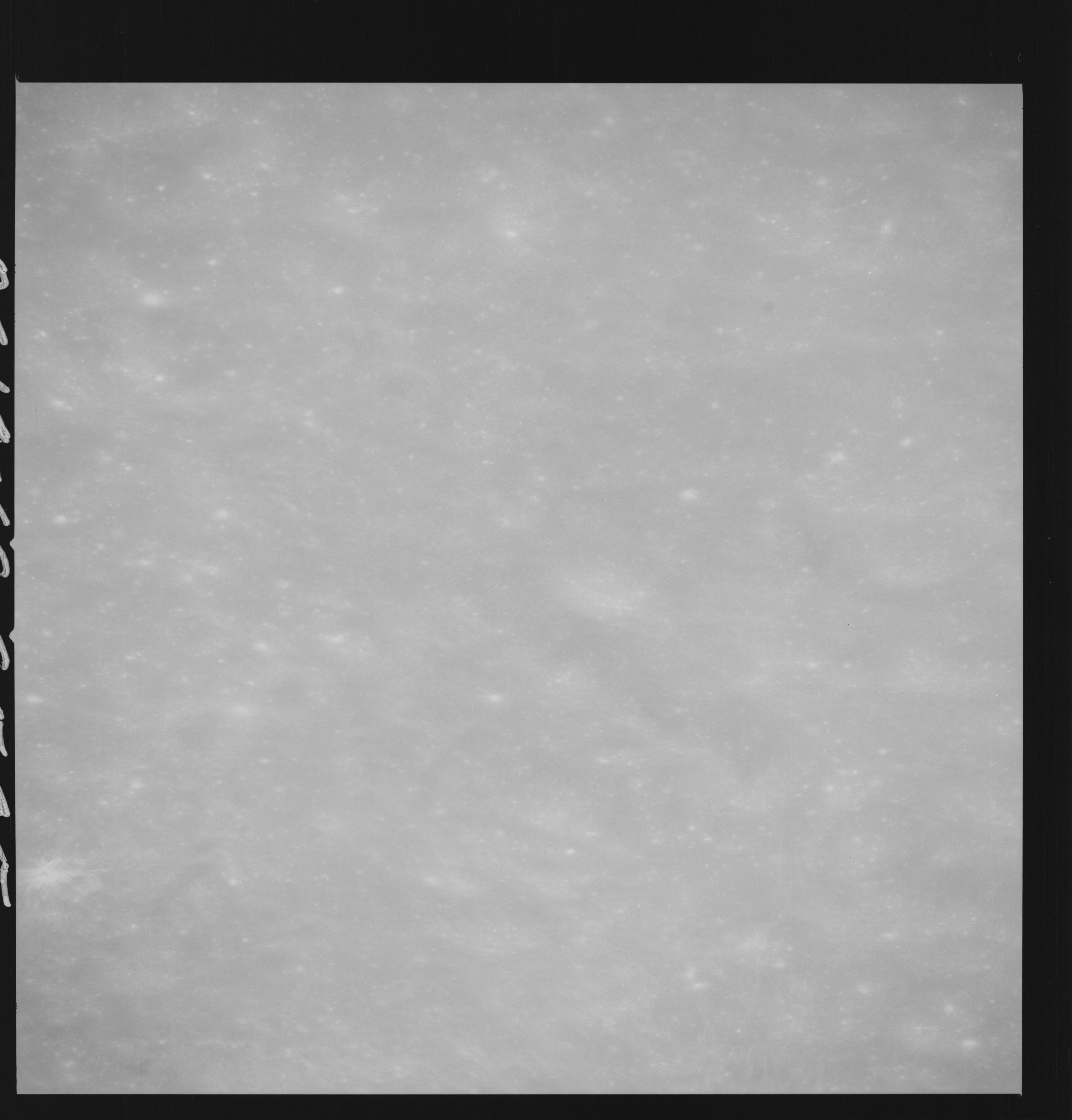 | AS14-69-9545 APOLLO 16 LANDING SITE DESCARTES Location: 9° S, 16.5° E Image credit: National Archives and Records Administration |
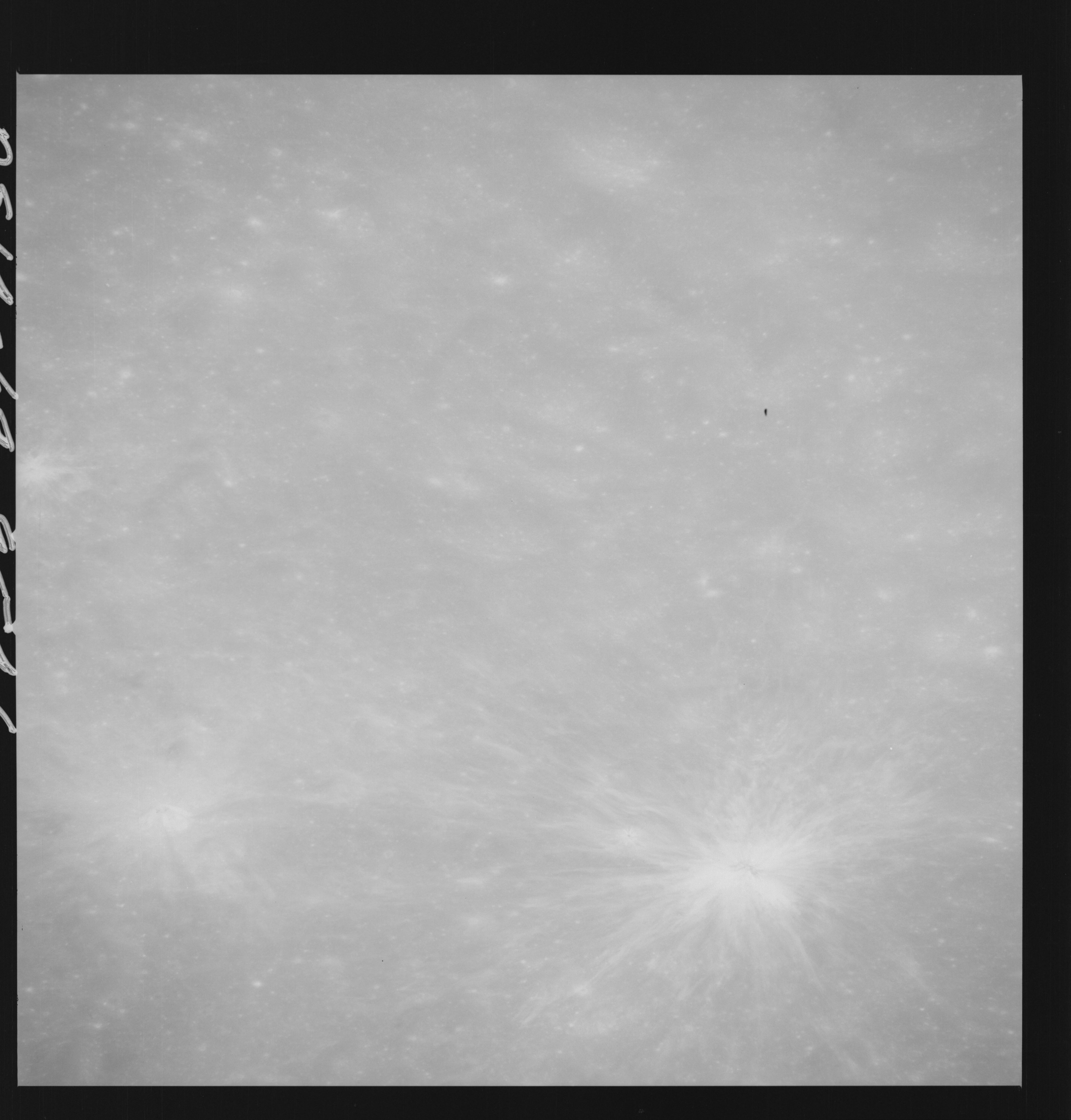 | AS14-69-9546 APOLLO 16 LANDING SITE DESCARTES Location: 9° S, 16.5° E Image credit: National Archives and Records Administration |
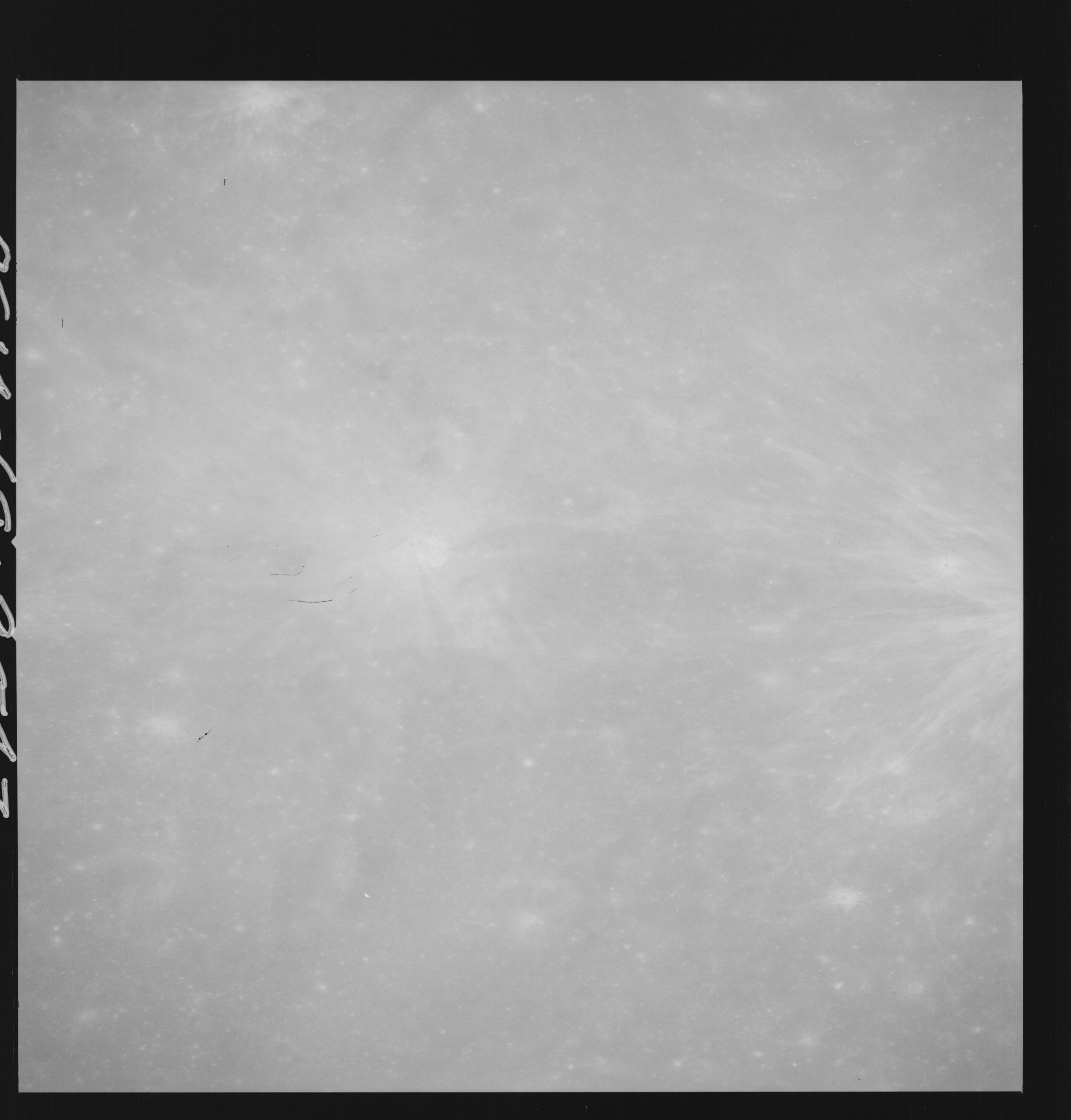 | AS14-69-9547 APOLLO 16 LANDING SITE DESCARTES Location: 9° S, 16° E Image credit: National Archives and Records Administration |
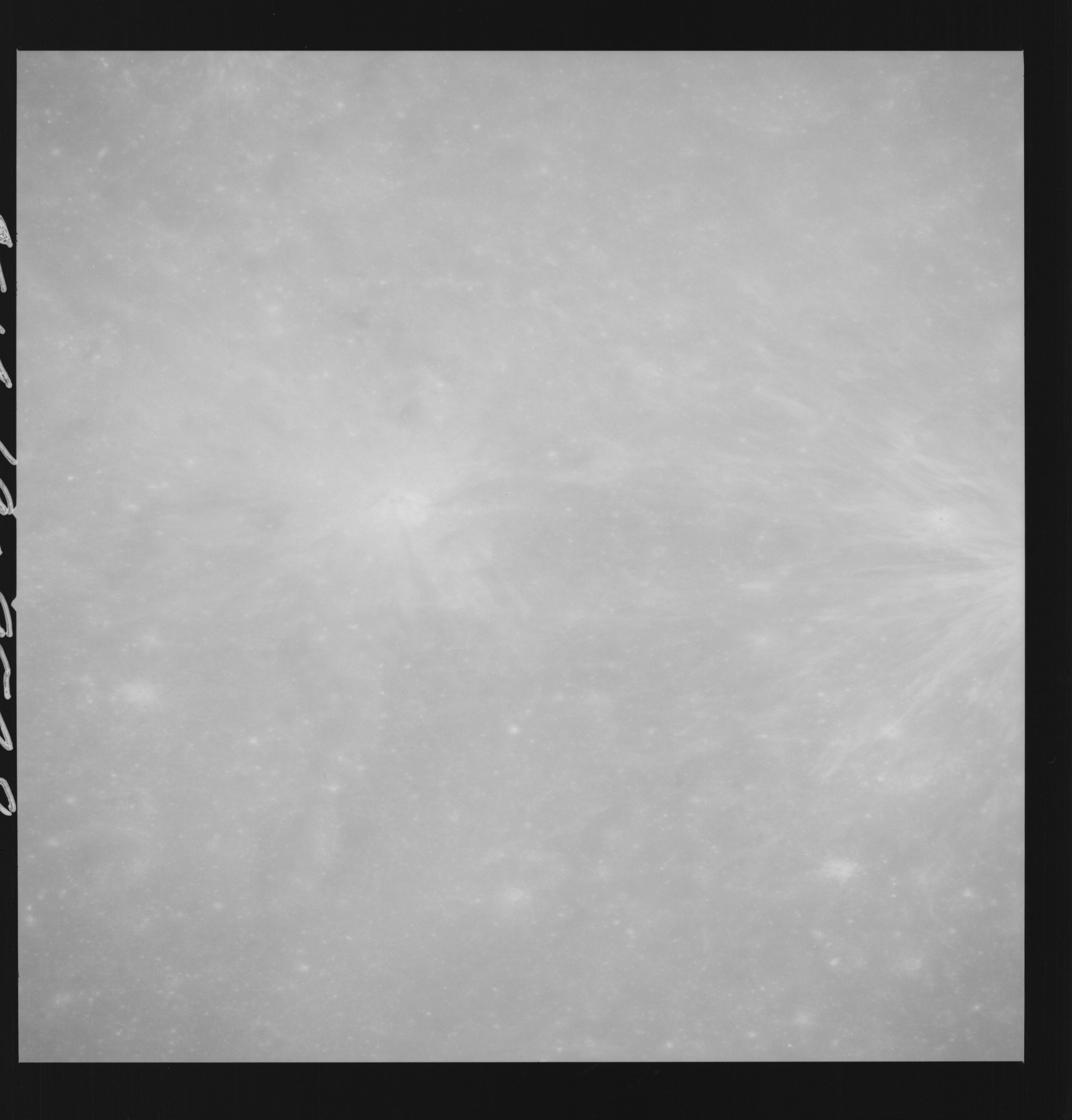 | AS14-69-9548 APOLLO 16 LANDING SITE DESCARTES Location: 9° S, 15.5° E Image credit: National Archives and Records Administration |
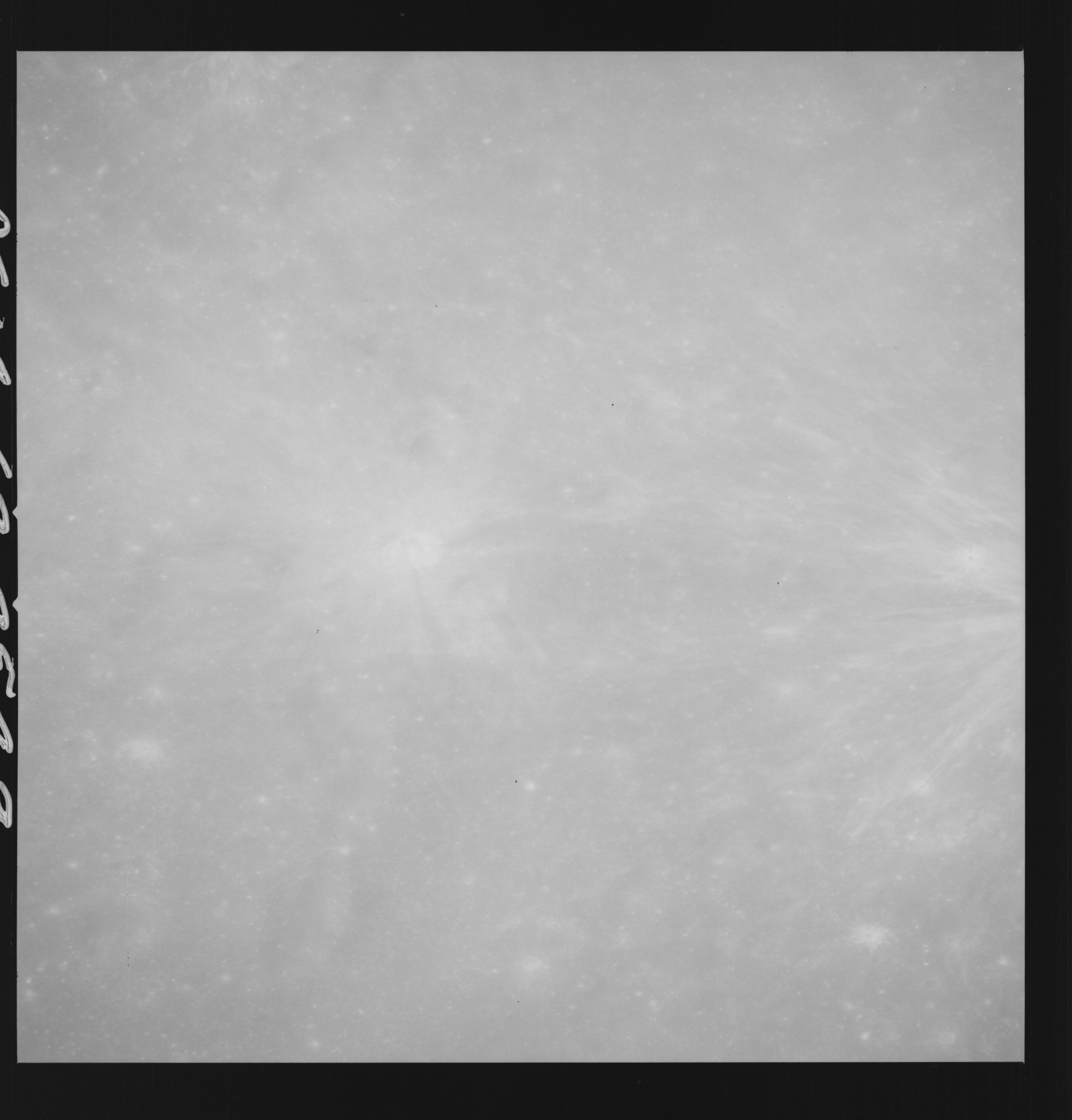 | AS14-69-9549 APOLLO 16 LANDING SITE DESCARTES Location: 9° S, 15.5° E Image credit: National Archives and Records Administration |
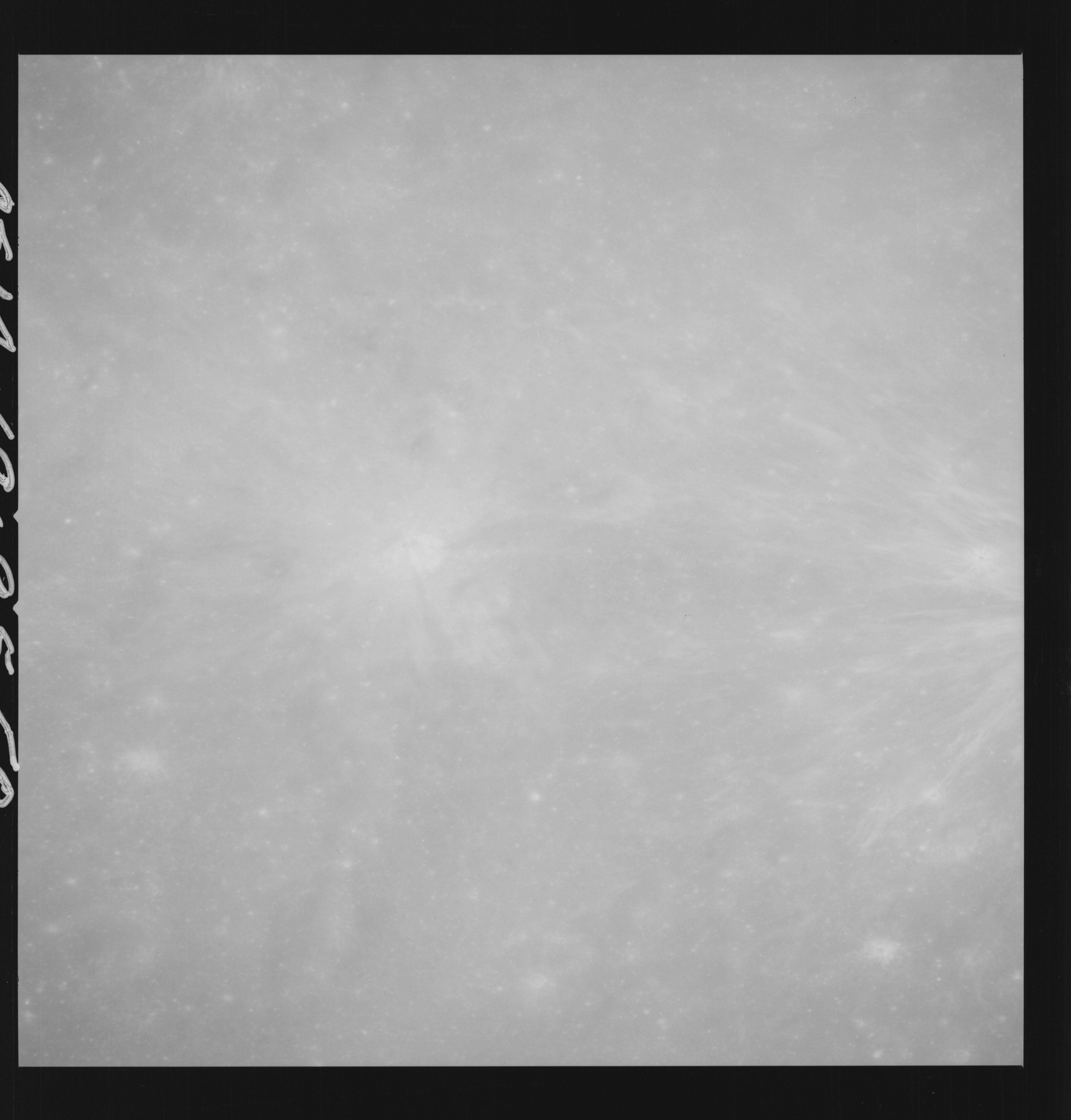 | AS14-69-9550 APOLLO 16 LANDING SITE DESCARTES Location: 9° S, 15.5° E Image credit: National Archives and Records Administration |
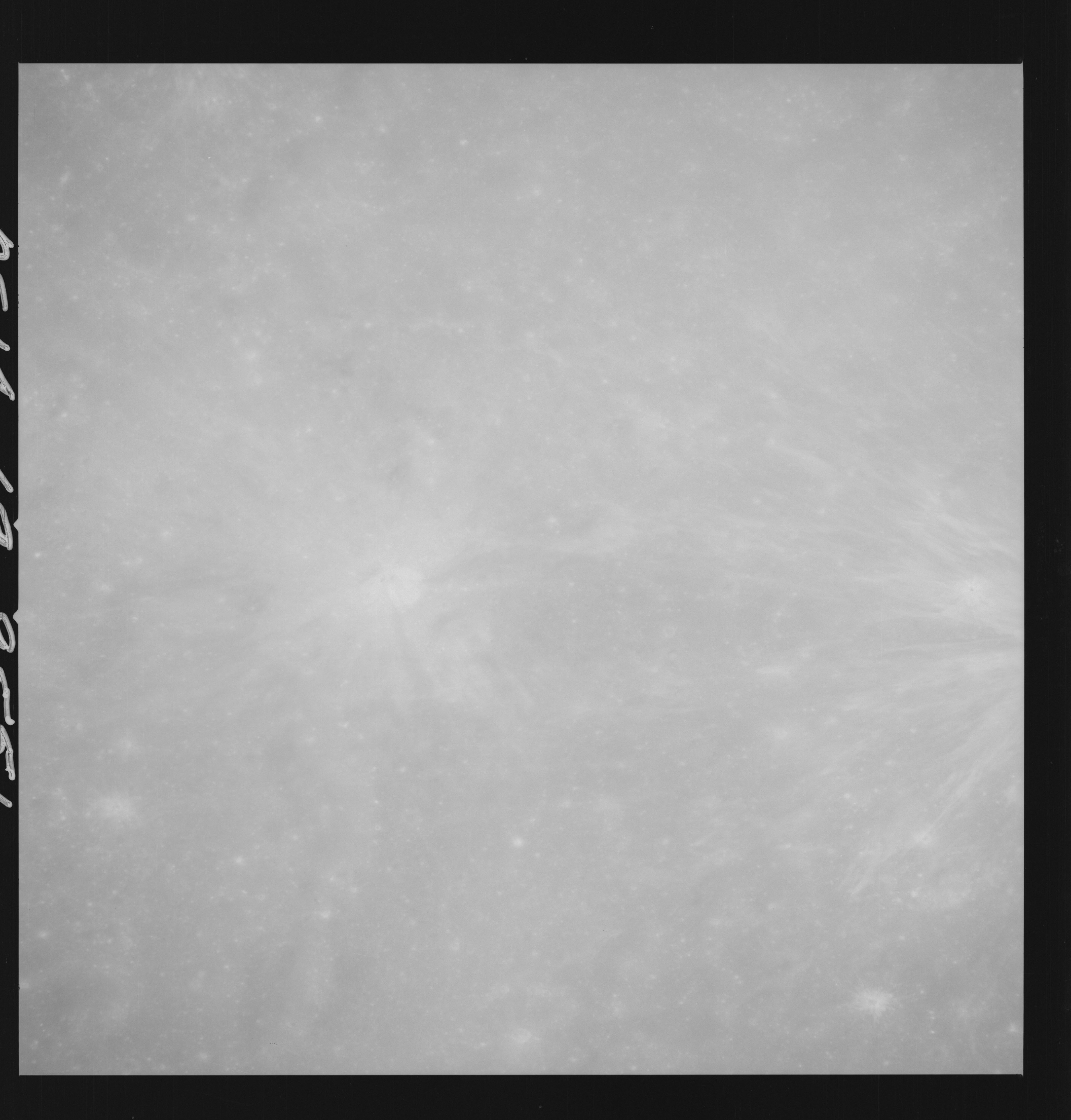 | AS14-69-9551 APOLLO 16 LANDING SITE DESCARTES Location: 9° S, 15.5° E Image credit: National Archives and Records Administration |
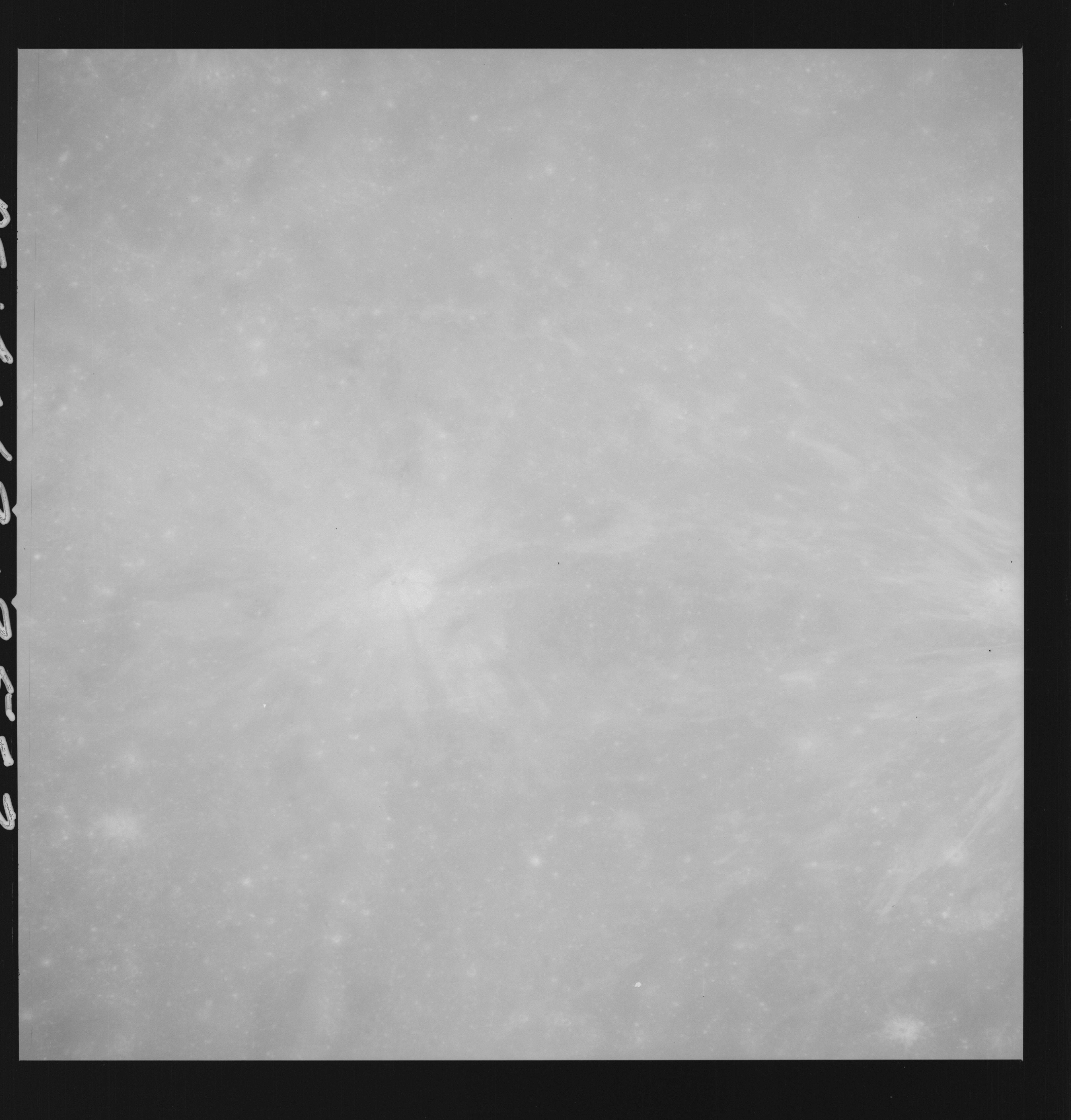 | AS14-69-9552 APOLLO 16 LANDING SITE DESCARTES Location: 9° S, 15.5° E Image credit: National Archives and Records Administration |
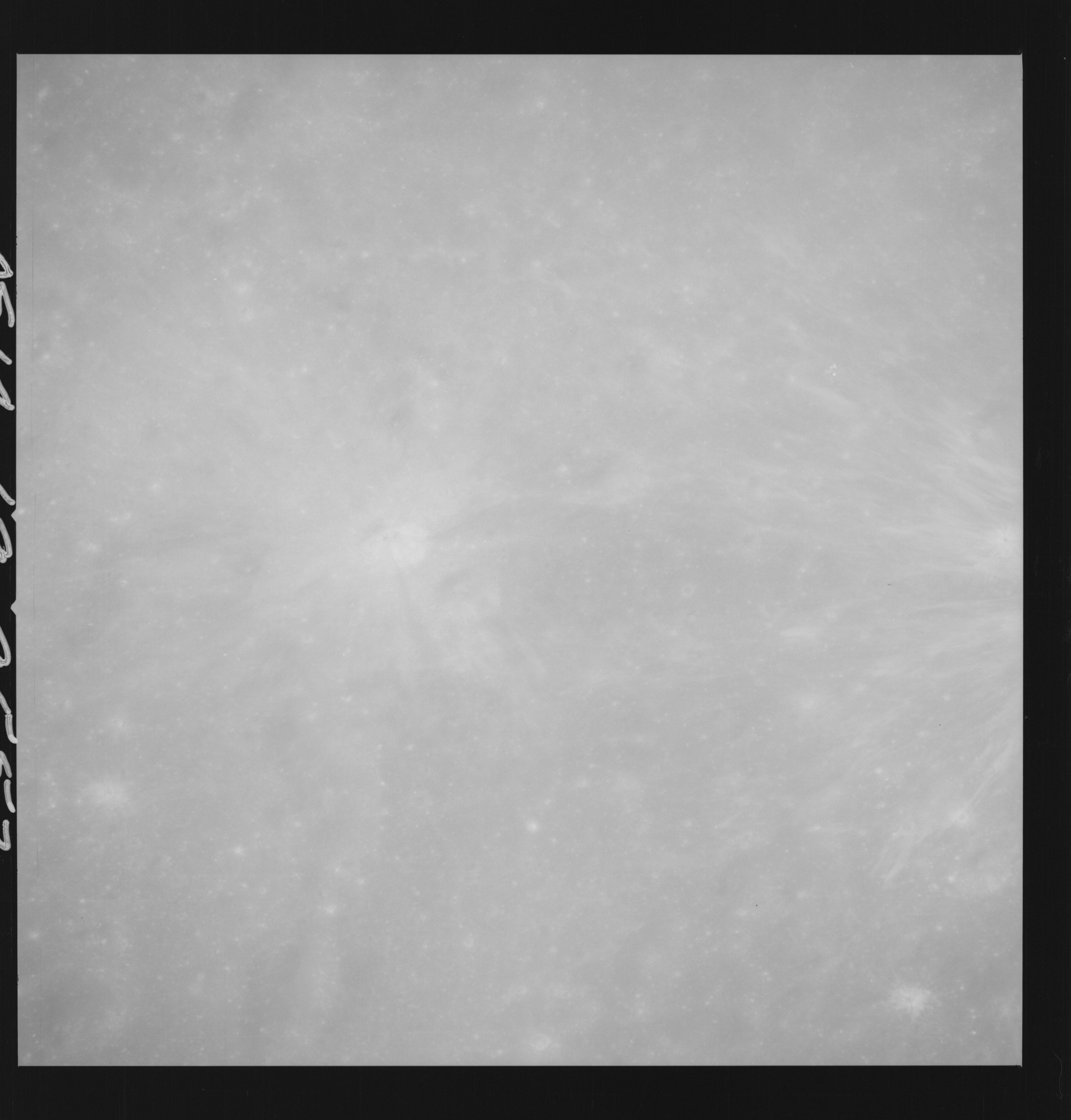 | AS14-69-9553 APOLLO 16 LANDING SITE DESCARTES Location: 9° S, 15.5° E Image credit: National Archives and Records Administration |
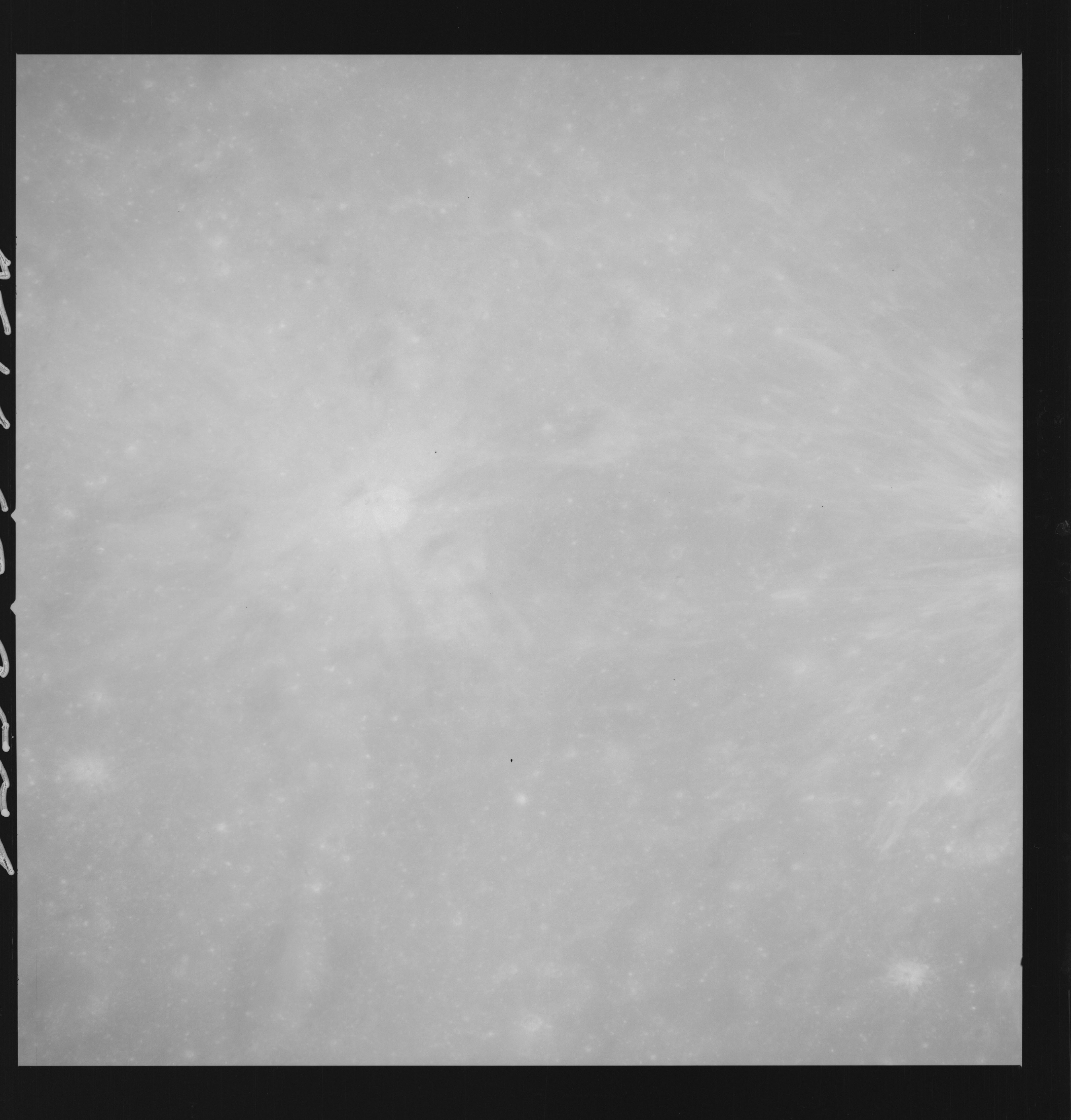 | AS14-69-9554 APOLLO 16 LANDING SITE DESCARTES Location: 9° S, 15.5° E Image credit: National Archives and Records Administration |
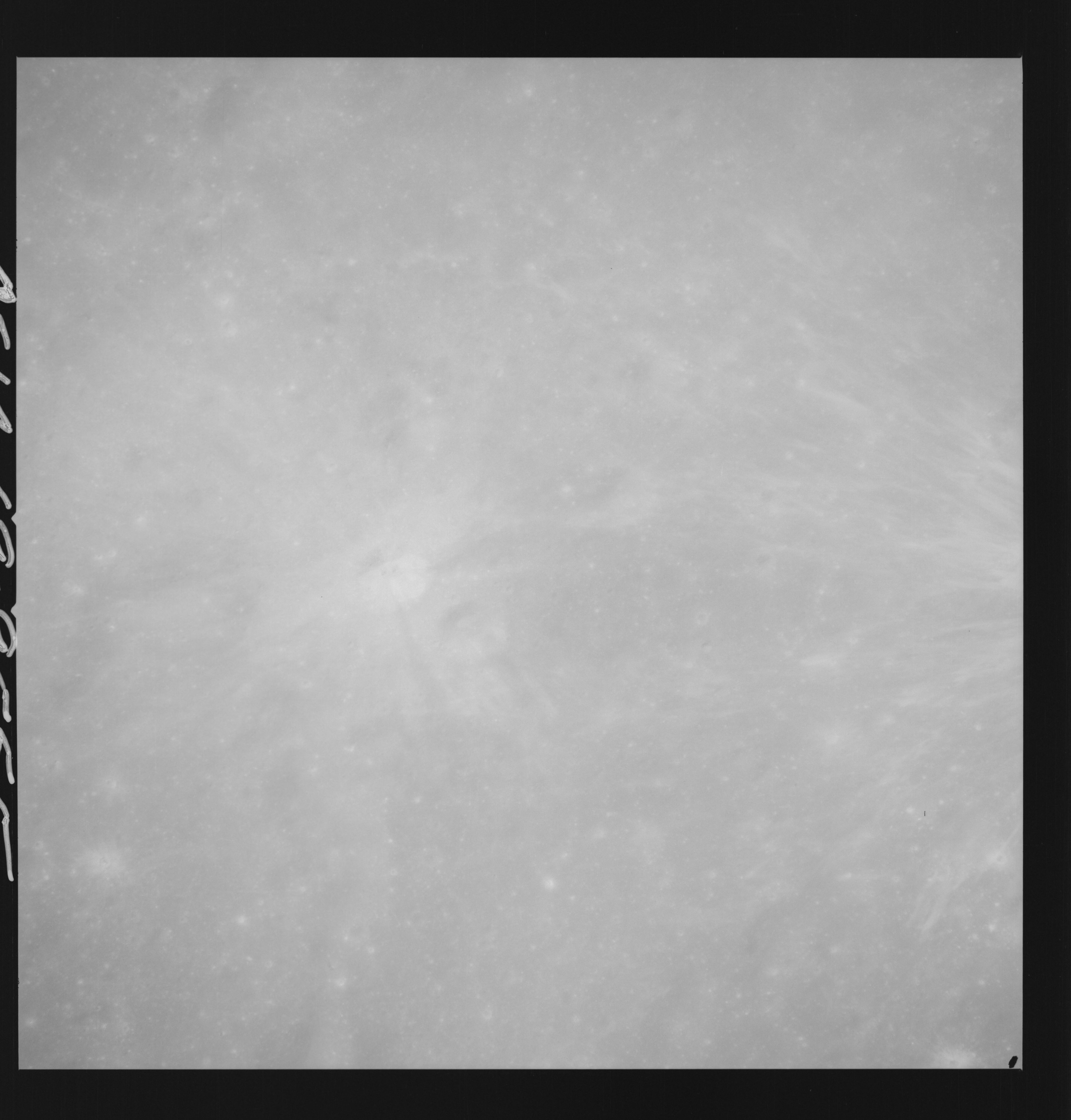 | AS14-69-9555 APOLLO 16 LANDING SITE DESCARTES Location: 9° S, 15.5° E Image credit: National Archives and Records Administration |
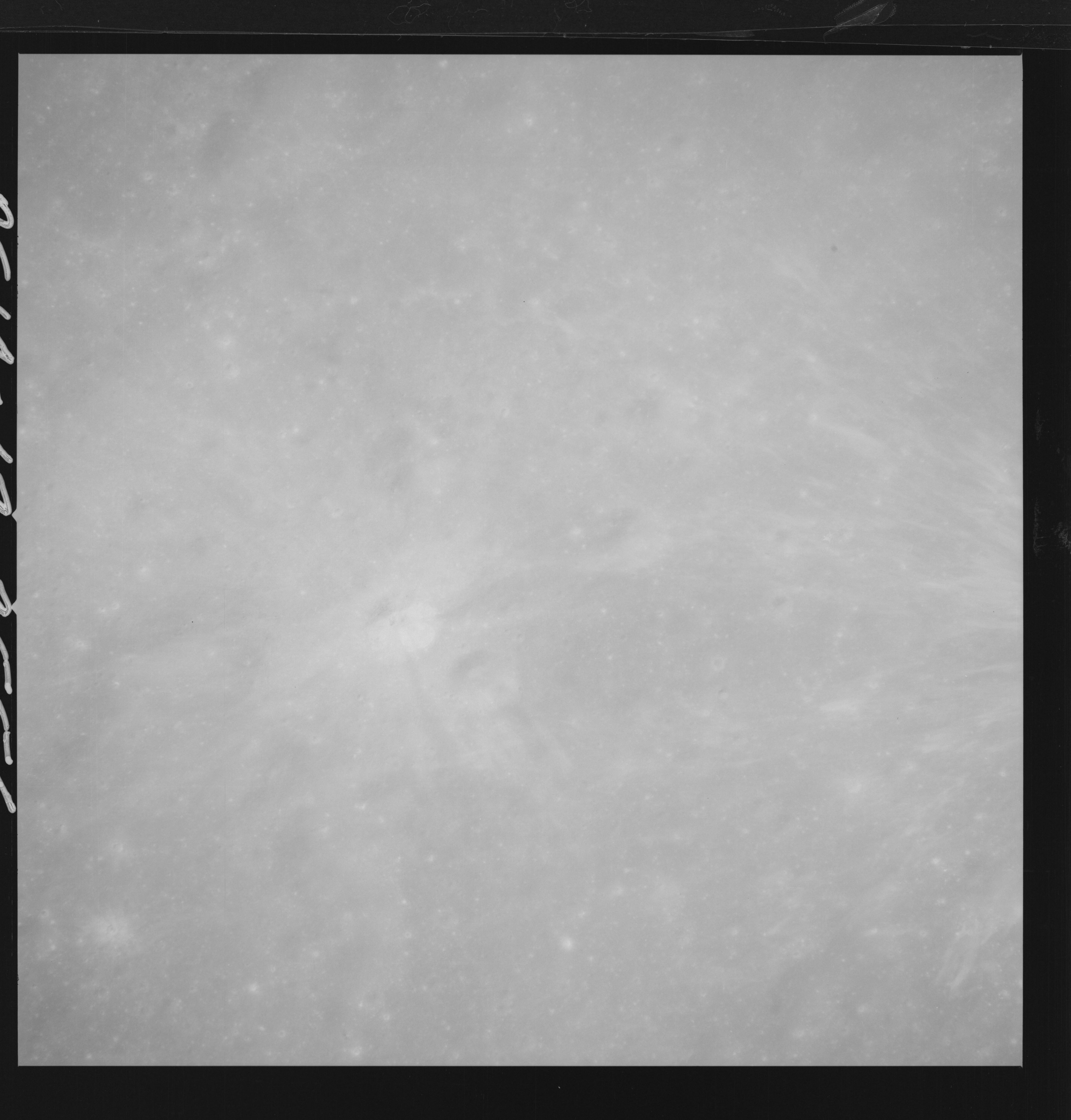 | AS14-69-9556 APOLLO 16 LANDING SITE DESCARTES Location: 9° S, 15.5° E Image credit: National Archives and Records Administration |
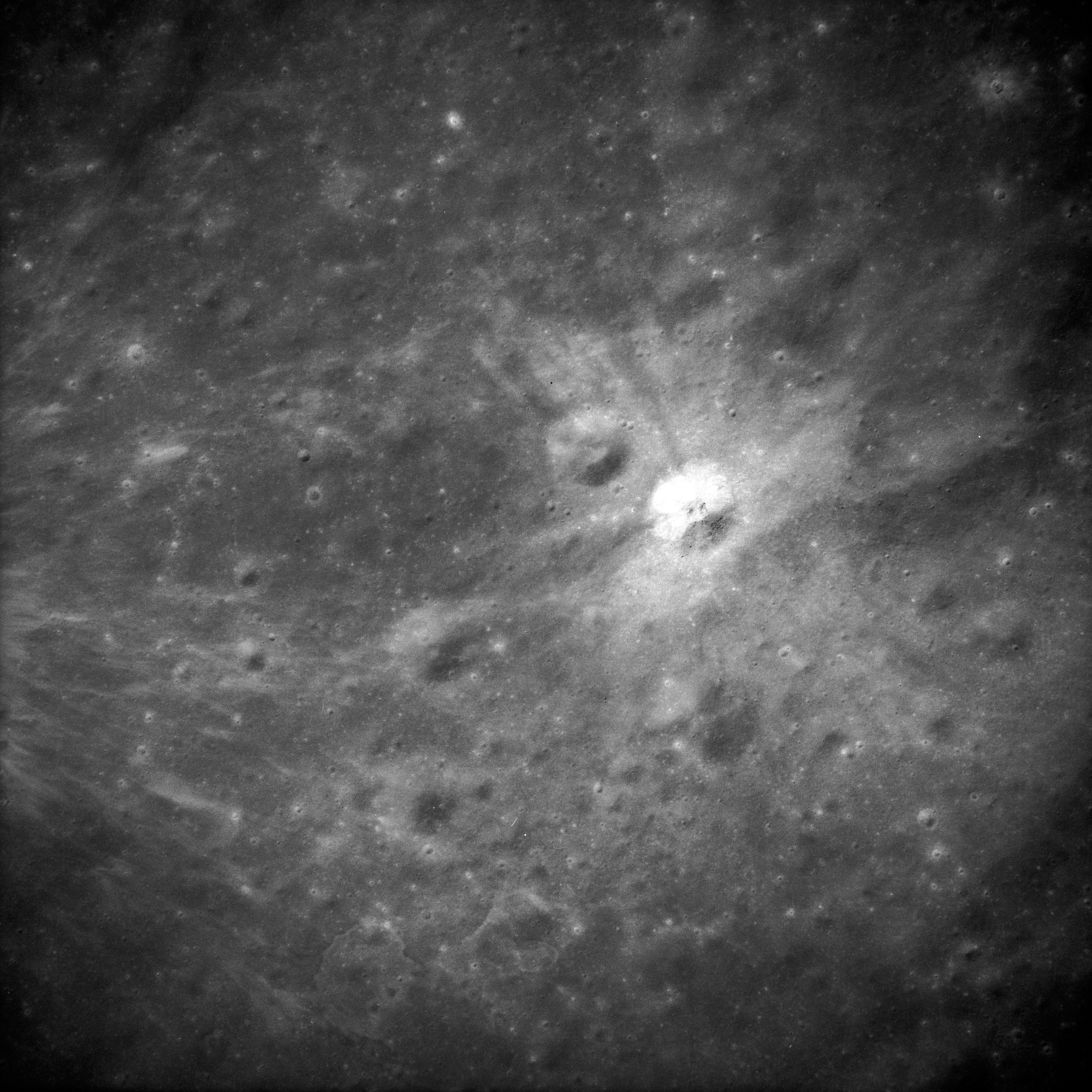 | AS14-69-9560 APOLLO 16 LANDING SITE DESCARTES Location: 9° S, 15.5° E Image credit: National Archives and Records Administration |
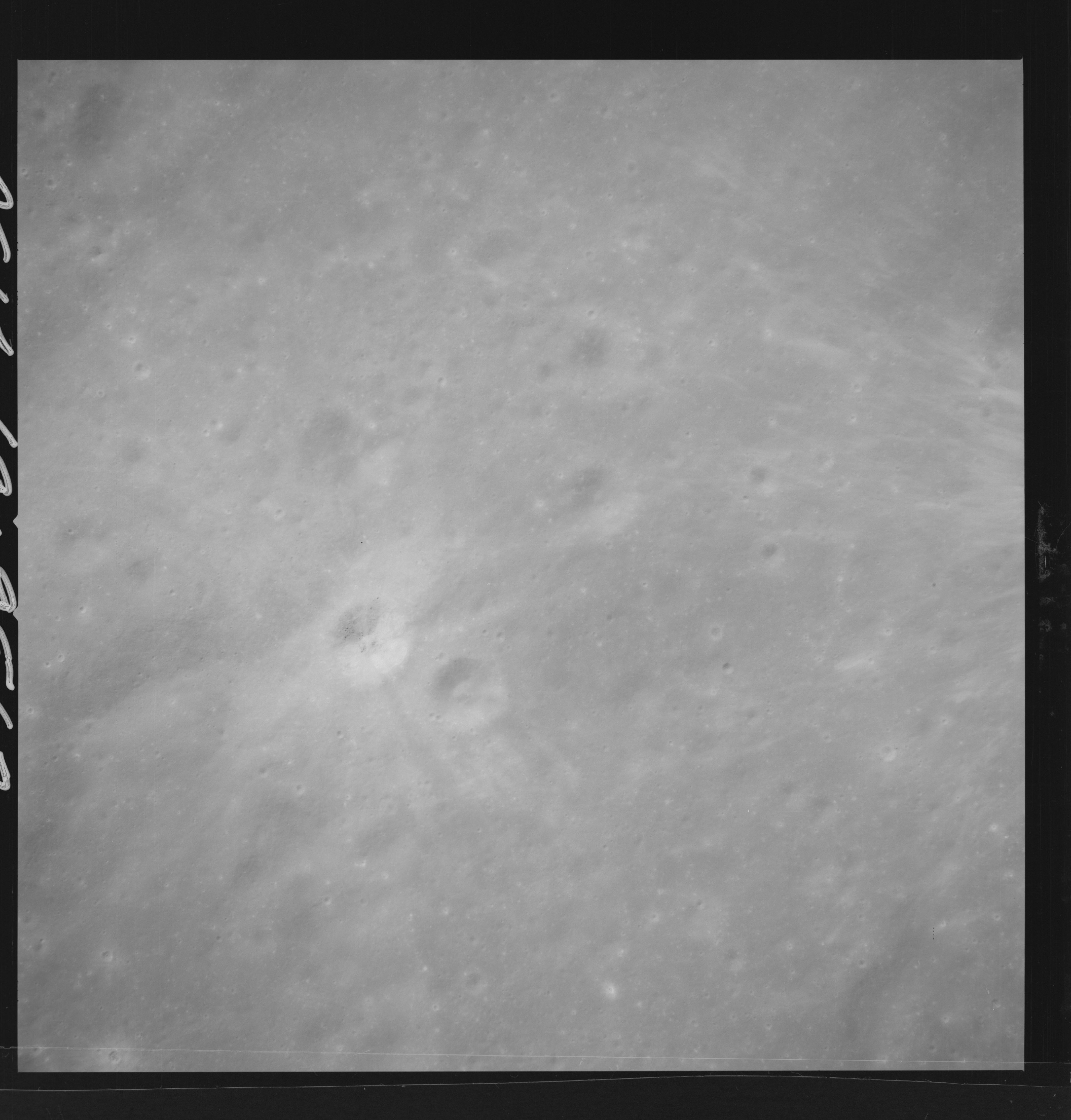 | AS14-69-9562 APOLLO 16 LANDING SITE DESCARTES Location: 9° S, 15.5° E Image credit: National Archives and Records Administration |
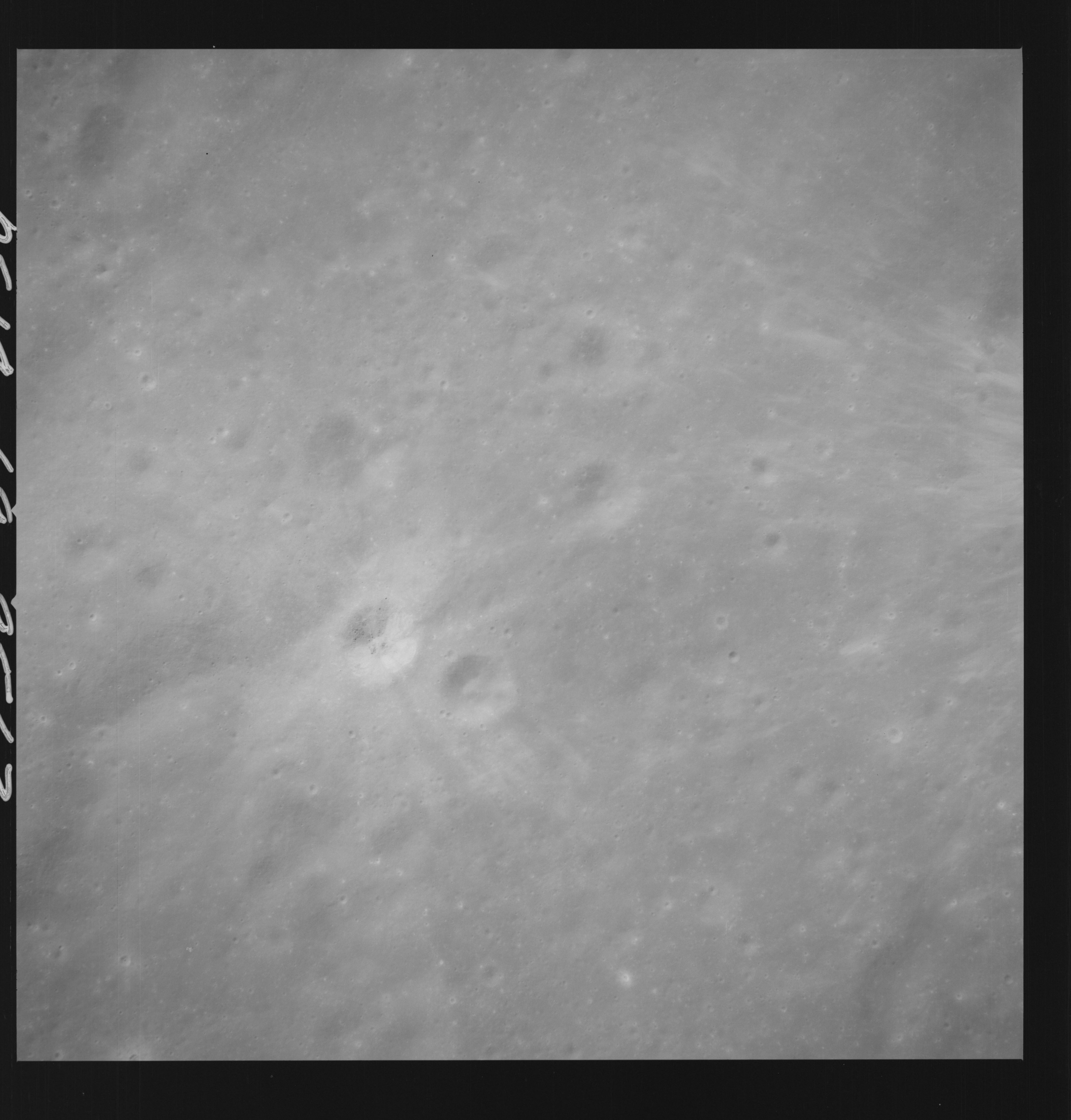 | AS14-69-9563 APOLLO 16 LANDING SITE DESCARTES Location: 9° S, 15.5° E Image credit: National Archives and Records Administration |
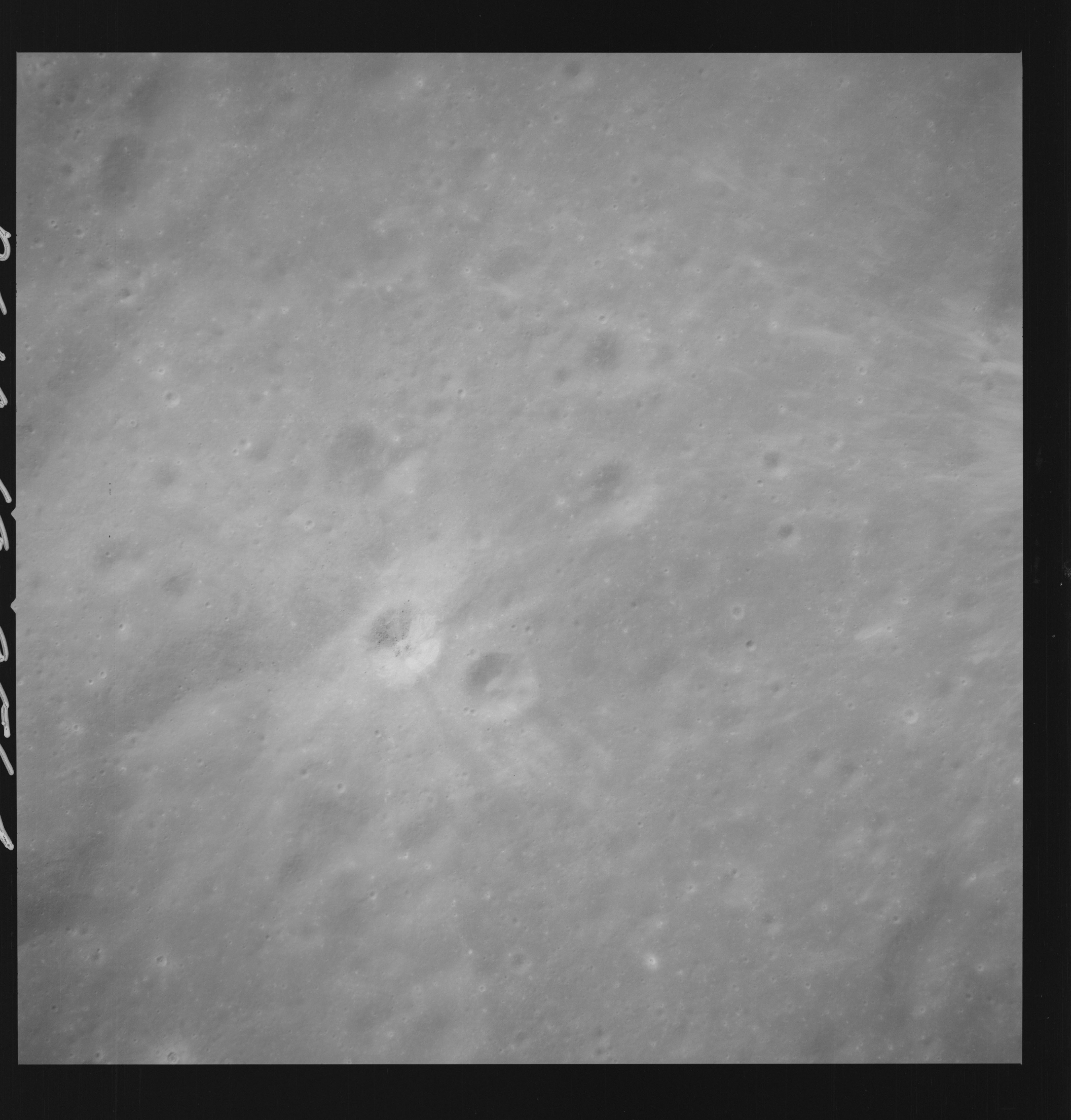 | AS14-69-9564 APOLLO 16 LANDING SITE DESCARTES Location: 9° S, 15.5° E Image credit: National Archives and Records Administration |
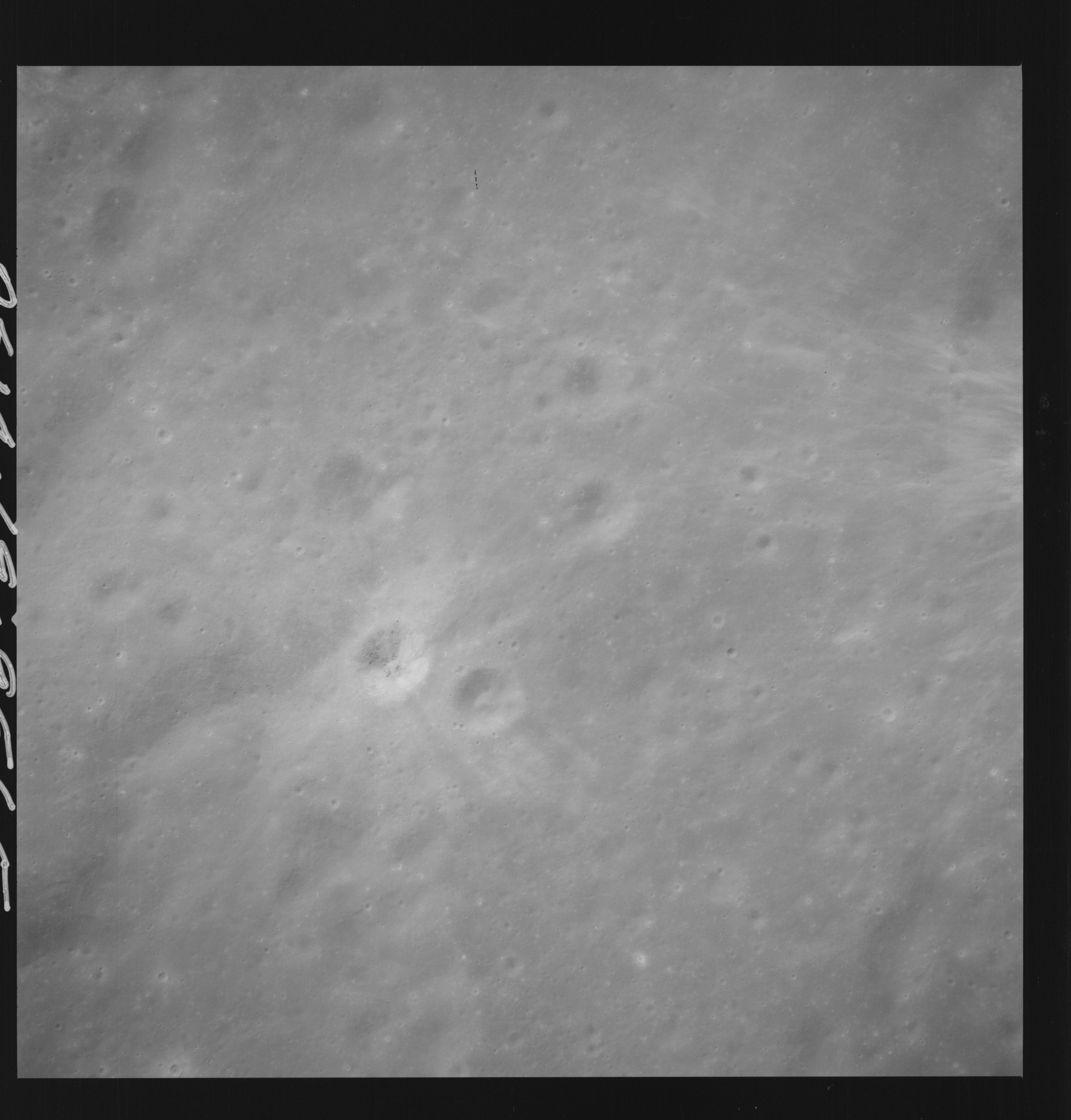 | AS14-69-9565 APOLLO 16 LANDING SITE DESCARTES Location: 9° S, 15.5° E Image credit: National Archives and Records Administration |
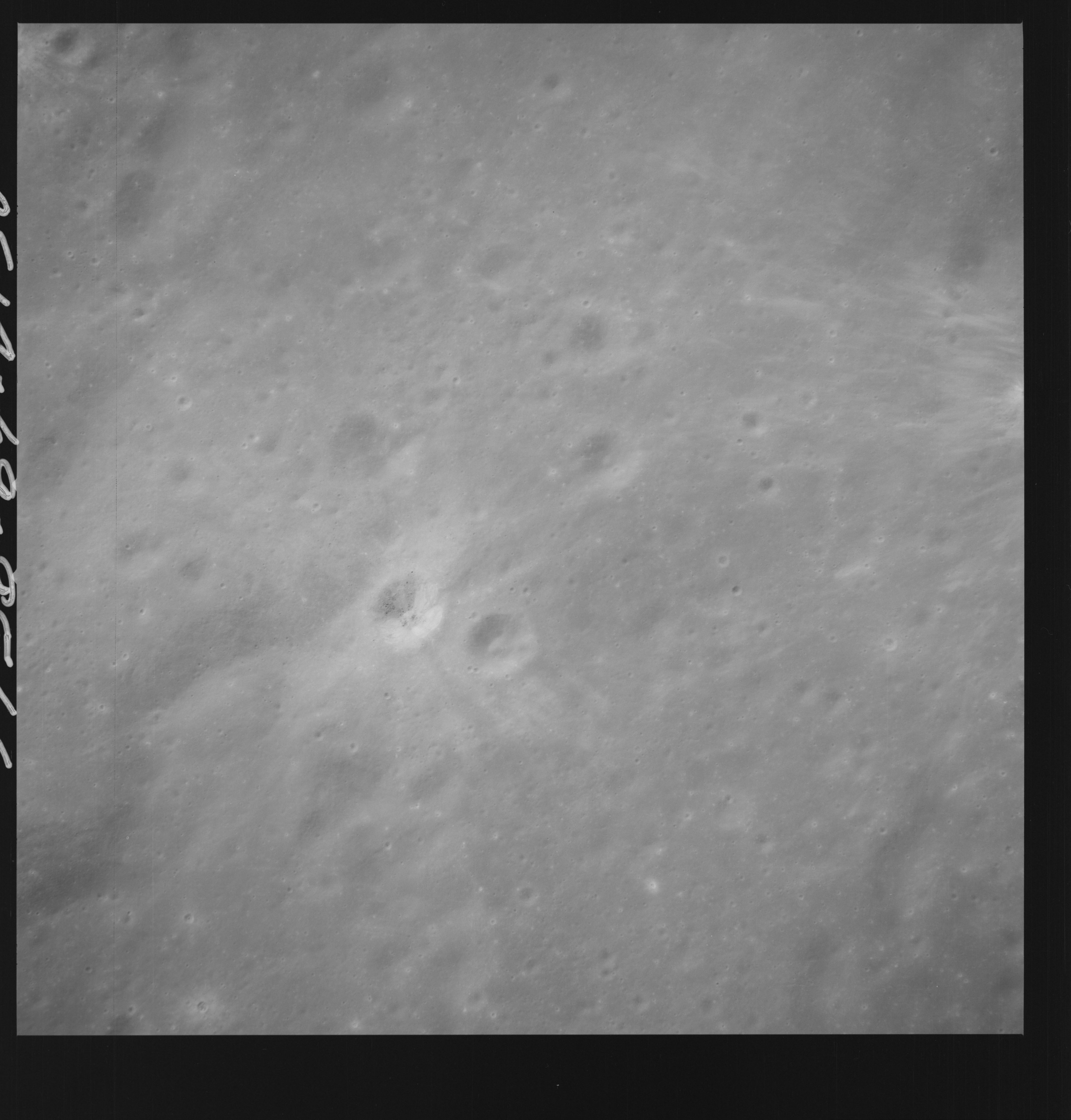 | AS14-69-9566 APOLLO 16 LANDING SITE DESCARTES Location: 9° S, 15.5° E Image credit: National Archives and Records Administration |
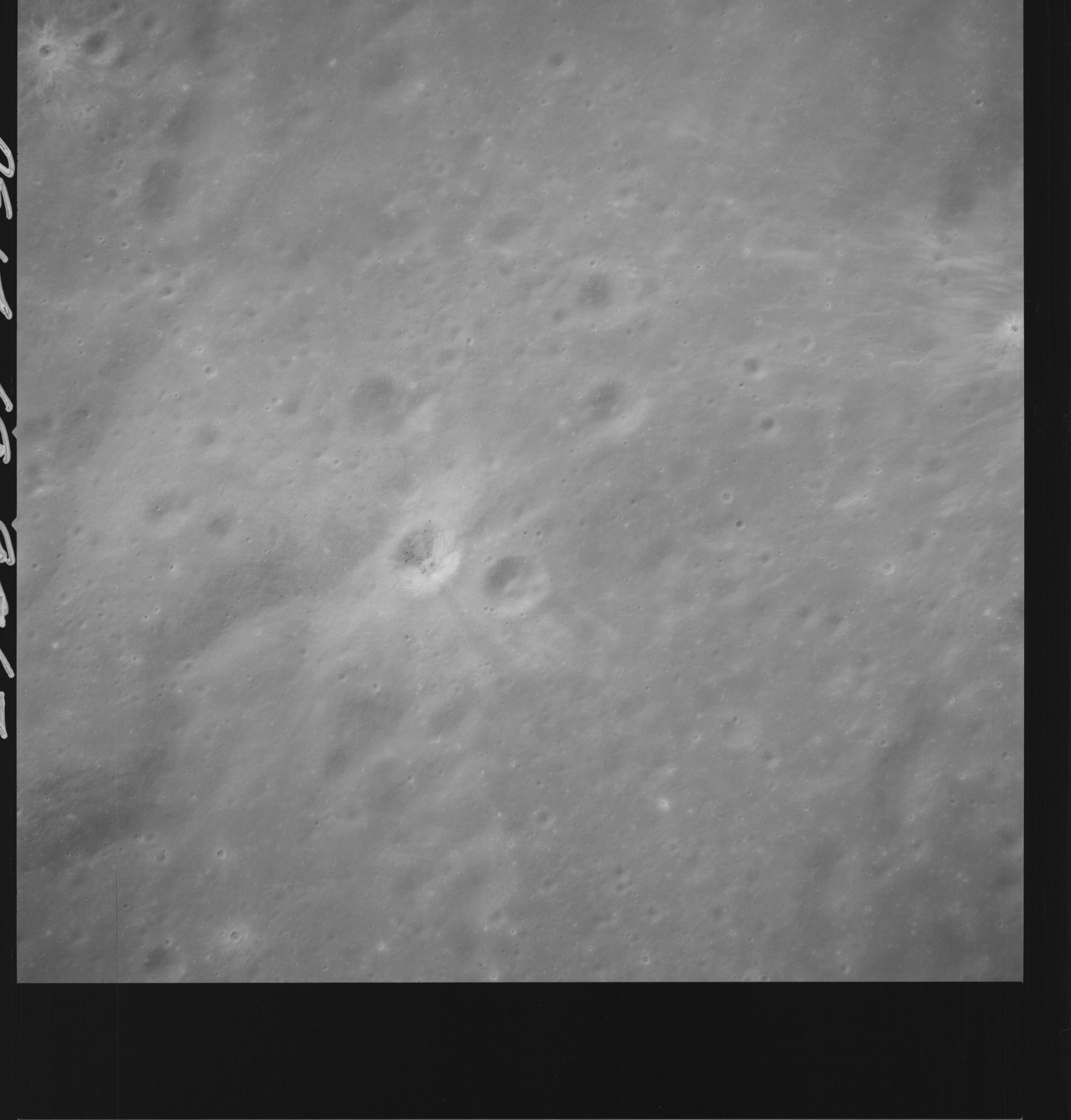 | AS14-69-9567 APOLLO 16 LANDING SITE DESCARTES Location: 9° S, 15.5° E Image credit: National Archives and Records Administration |
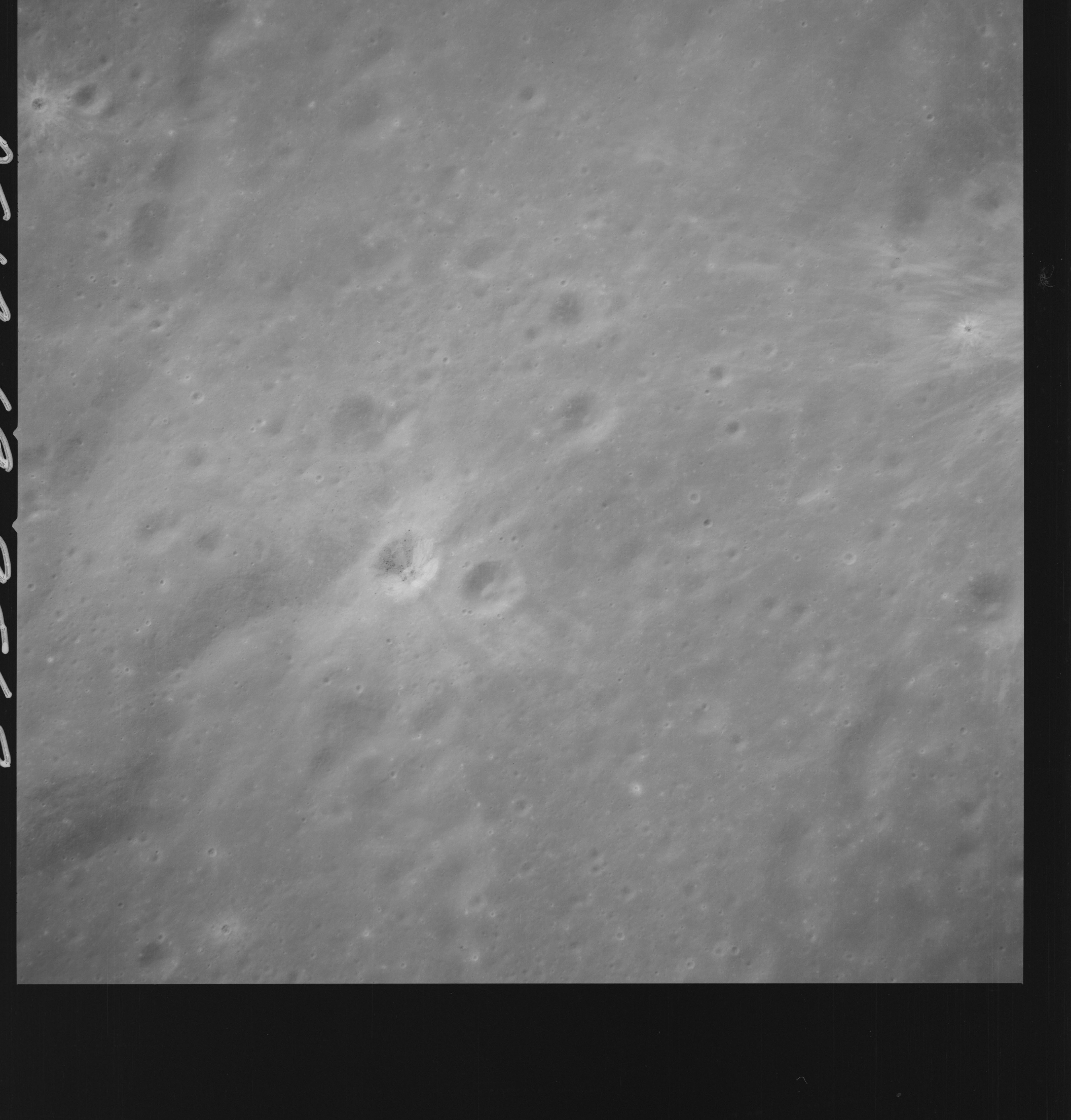 | AS14-69-9568 APOLLO 16 LANDING SITE DESCARTES Location: 9° S, 15.5° E Image credit: National Archives and Records Administration |
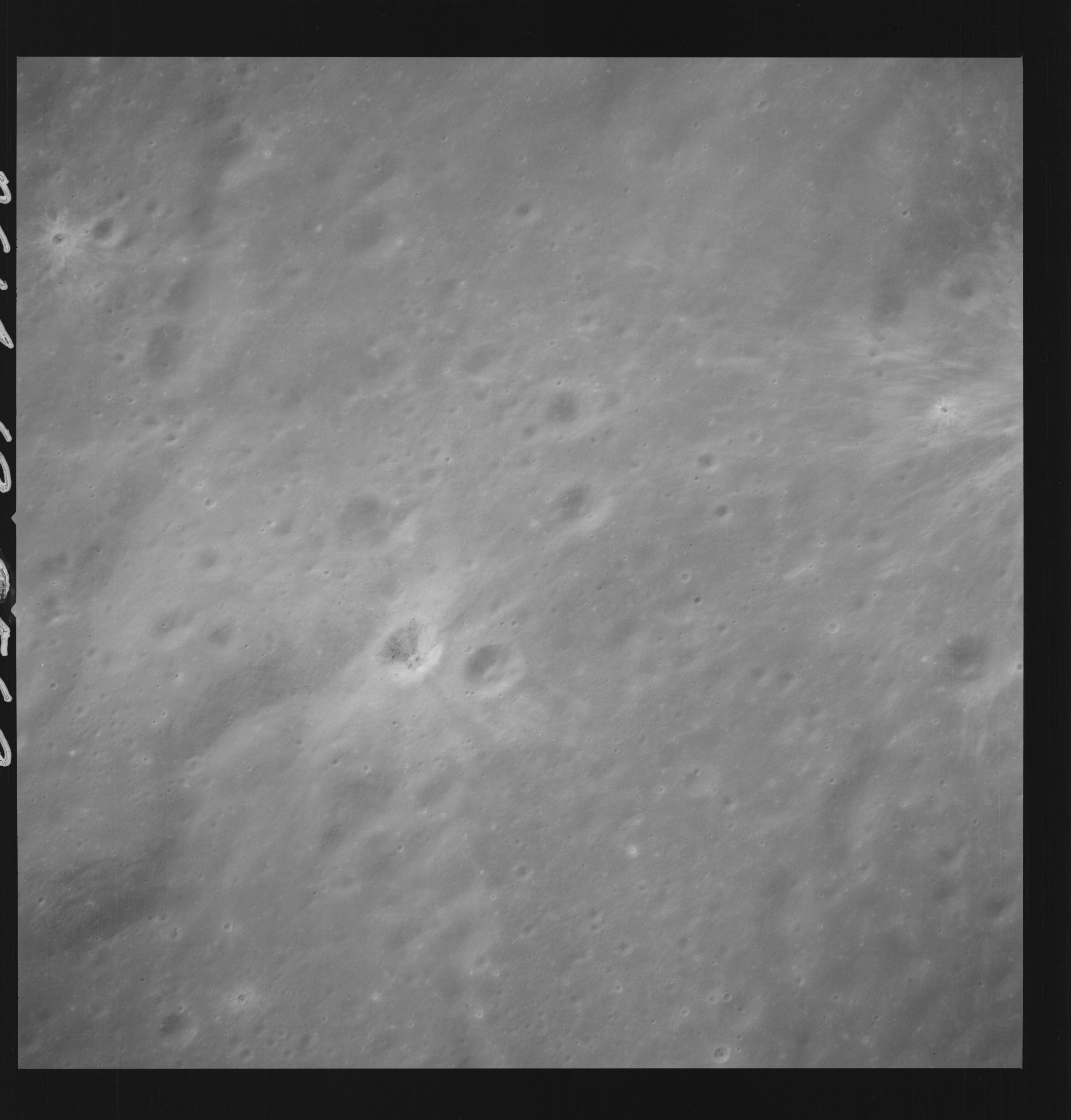 | AS14-69-9569 APOLLO 16 LANDING SITE DESCARTES Location: 9° S, 15.5° E Image credit: National Archives and Records Administration |
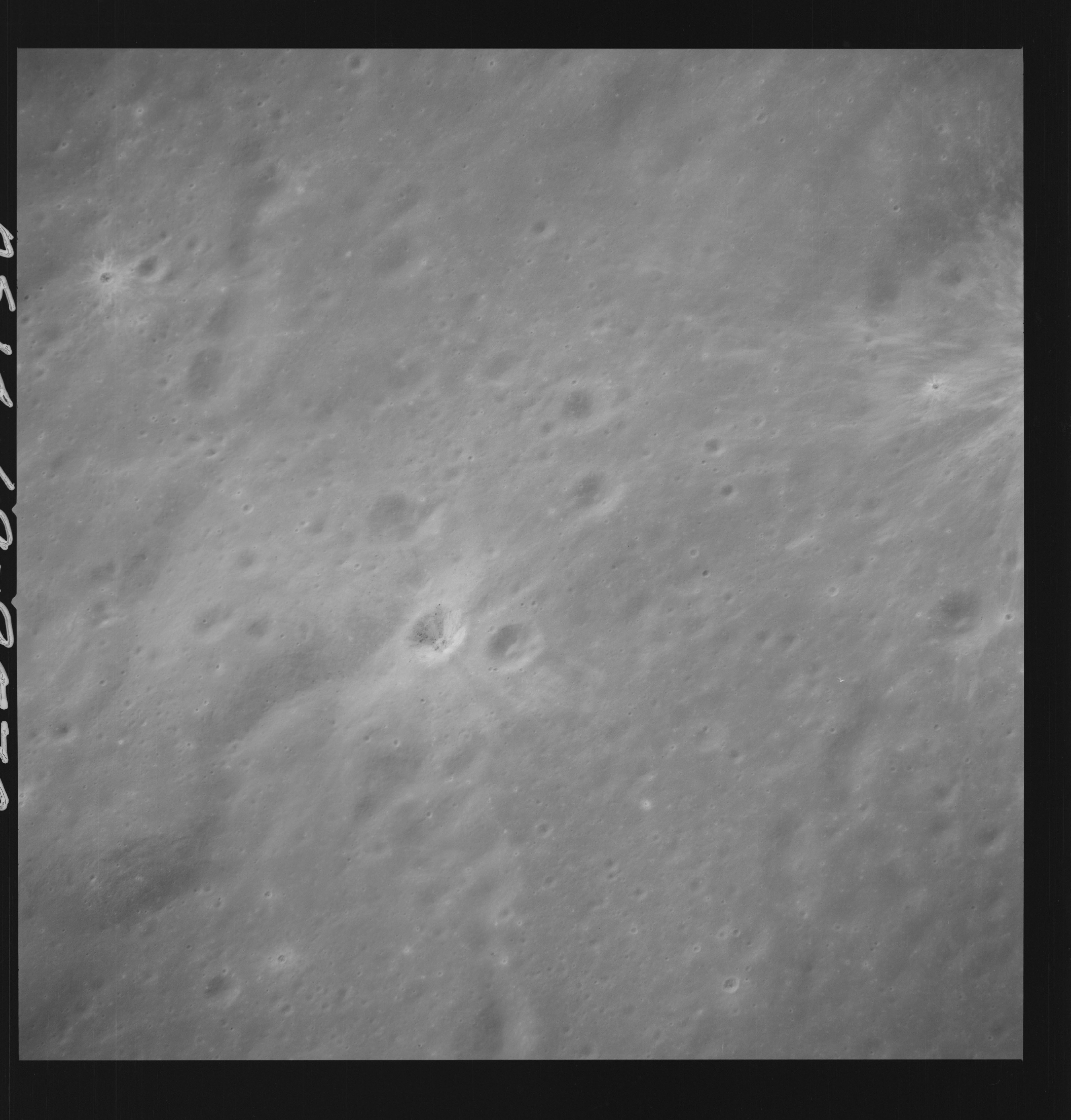 | AS14-69-9570 APOLLO 16 LANDING SITE DESCARTES Location: 9° S, 15.5° E Image credit: National Archives and Records Administration |
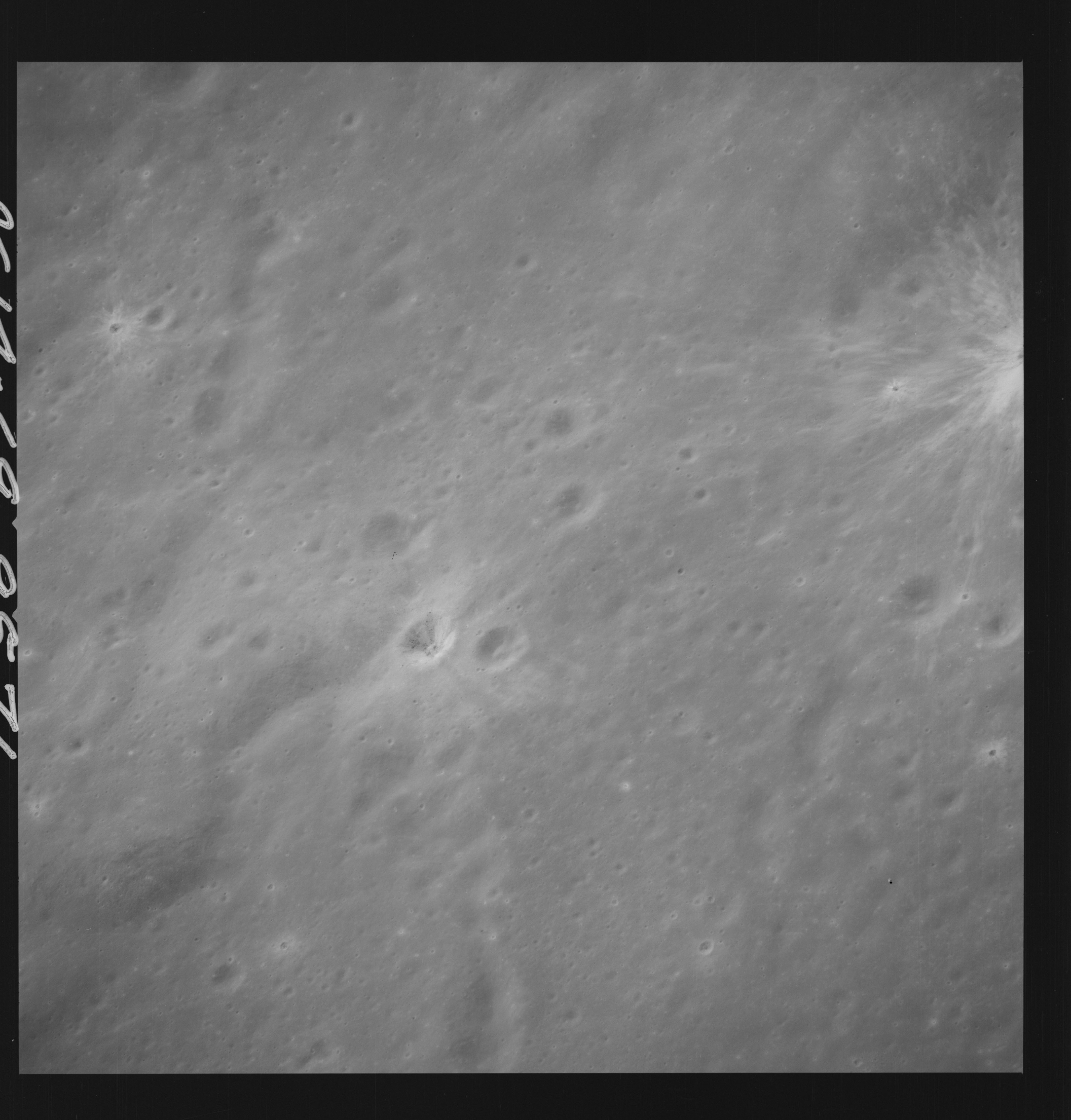 | AS14-69-9571 APOLLO 16 LANDING SITE DESCARTES Location: 9° S, 15.5° E Image credit: National Archives and Records Administration |
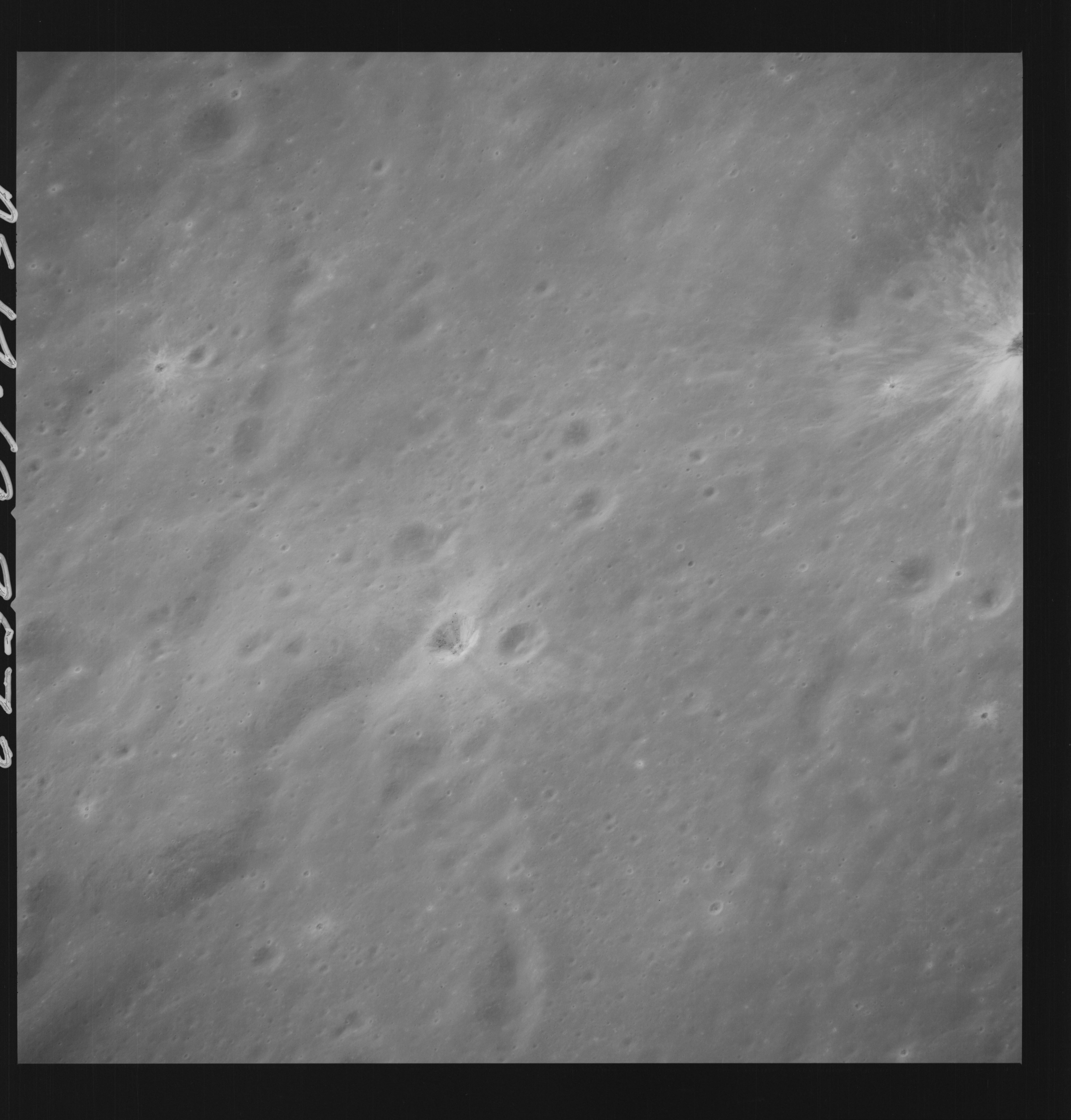 | AS14-69-9572 APOLLO 16 LANDING SITE DESCARTES Location: 9° S, 15.5° E Image credit: National Archives and Records Administration |
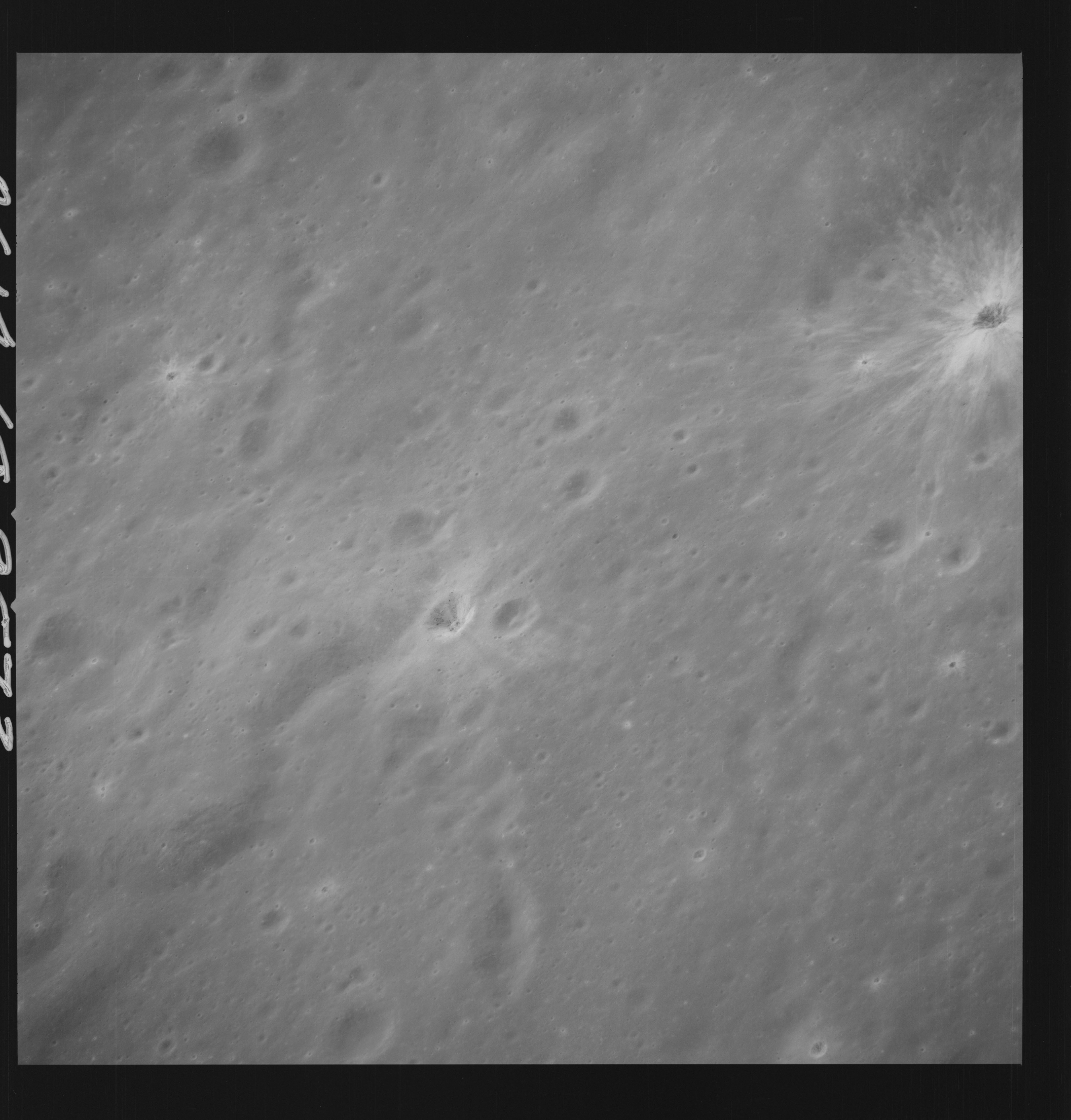 | AS14-69-9573 APOLLO 16 LANDING SITE DESCARTES Location: 9° S, 15.5° E Image credit: National Archives and Records Administration |
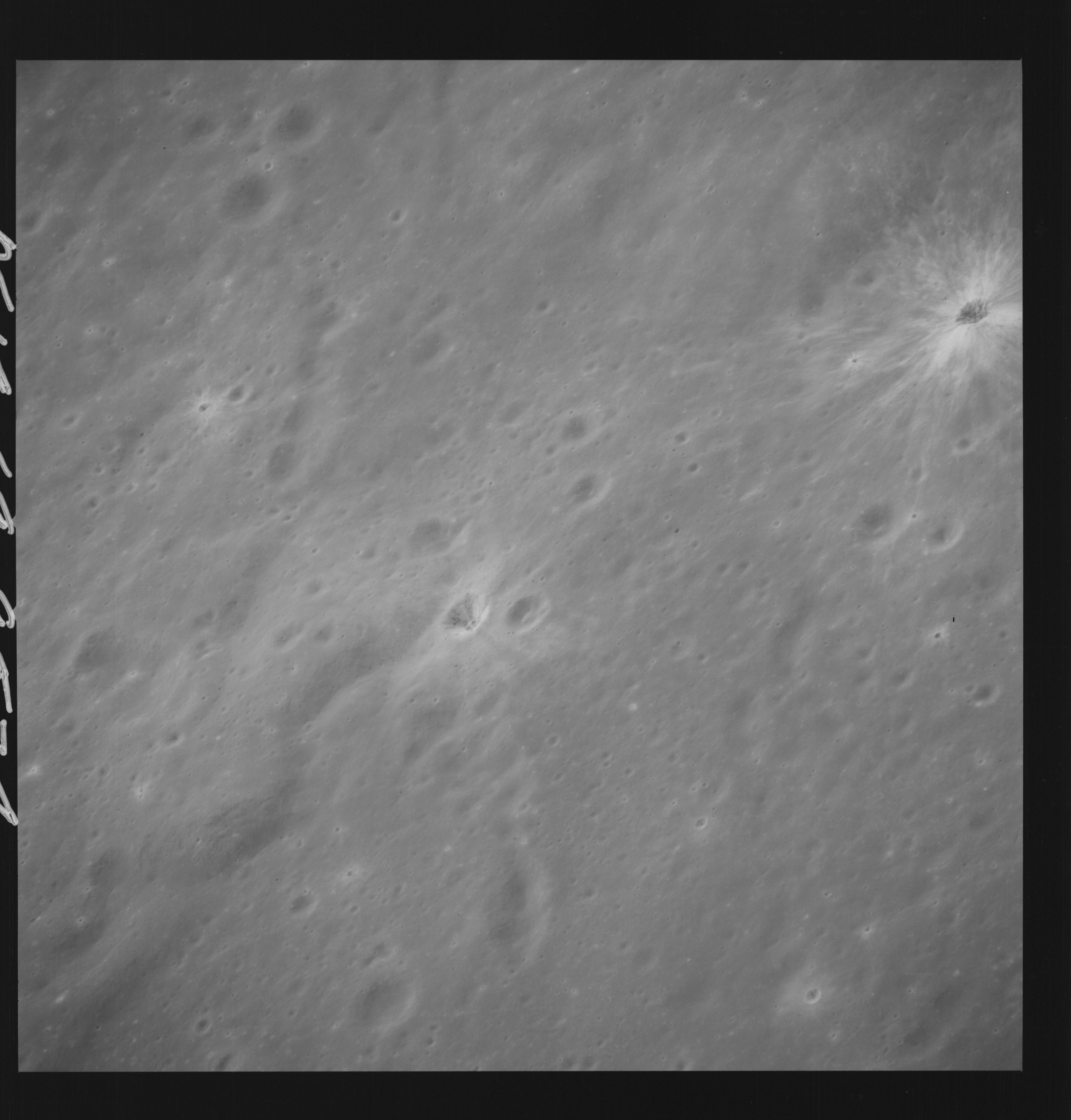 | AS14-69-9574 APOLLO 16 LANDING SITE DESCARTES Location: 9° S, 15.5° E Image credit: National Archives and Records Administration |
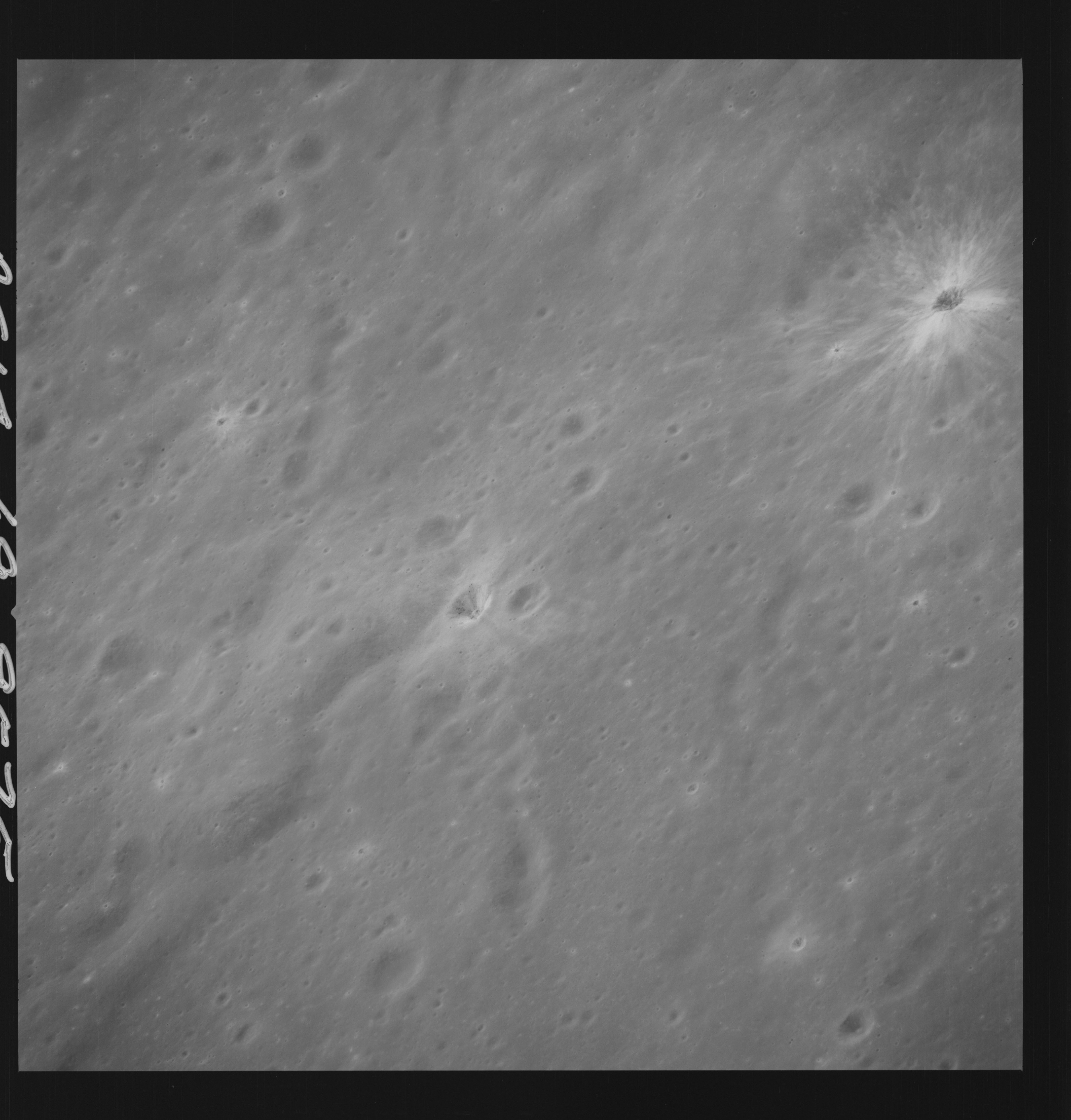 | AS14-69-9575 APOLLO 16 LANDING SITE DESCARTES Location: 9° S, 15.5° E Image credit: National Archives and Records Administration |
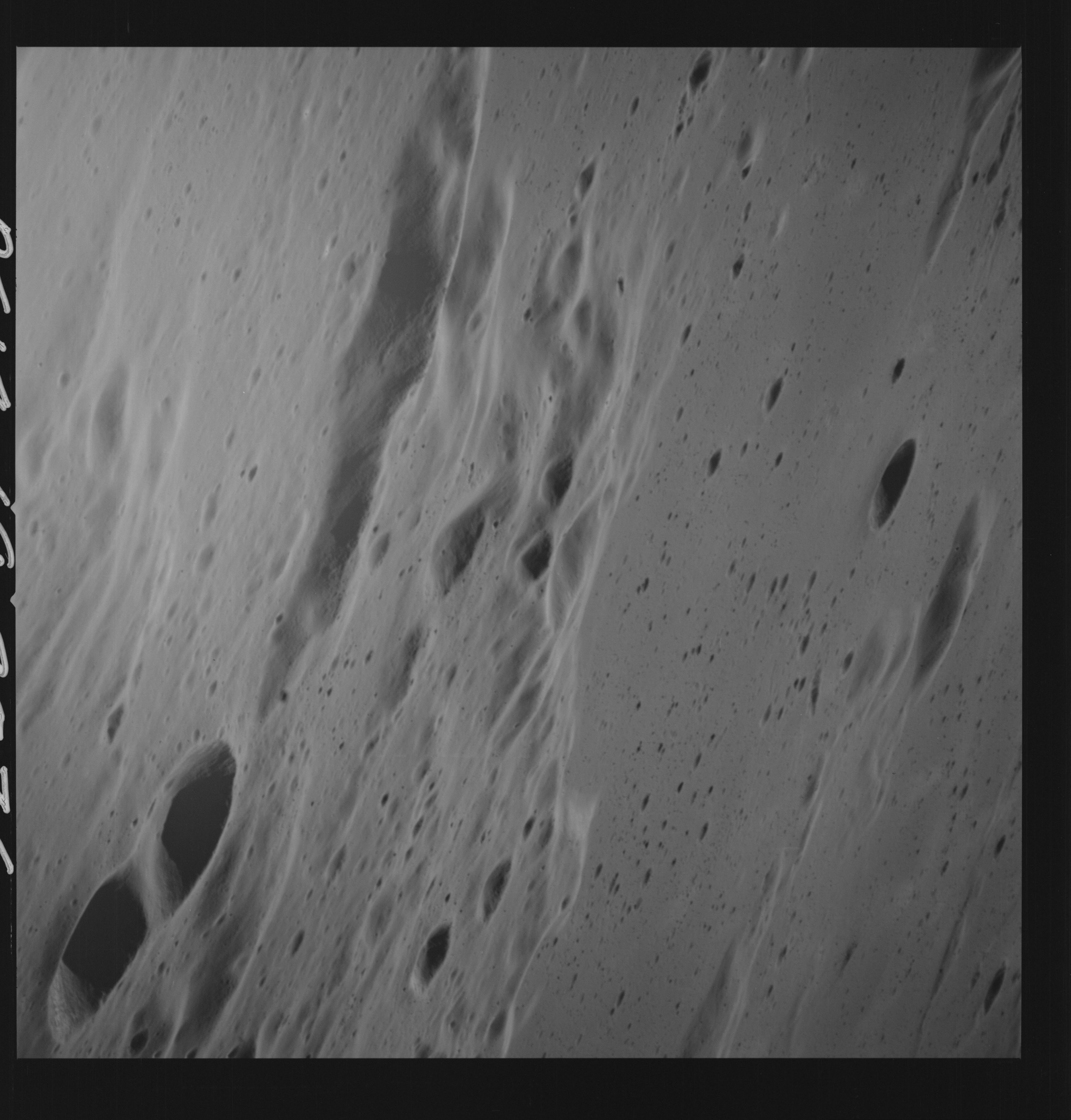 | AS14-69-9576 Beautiful oblique view of the Fra Mauro highlands. Location: 4° S, 15° W Image credit: National Archives and Records Administration |
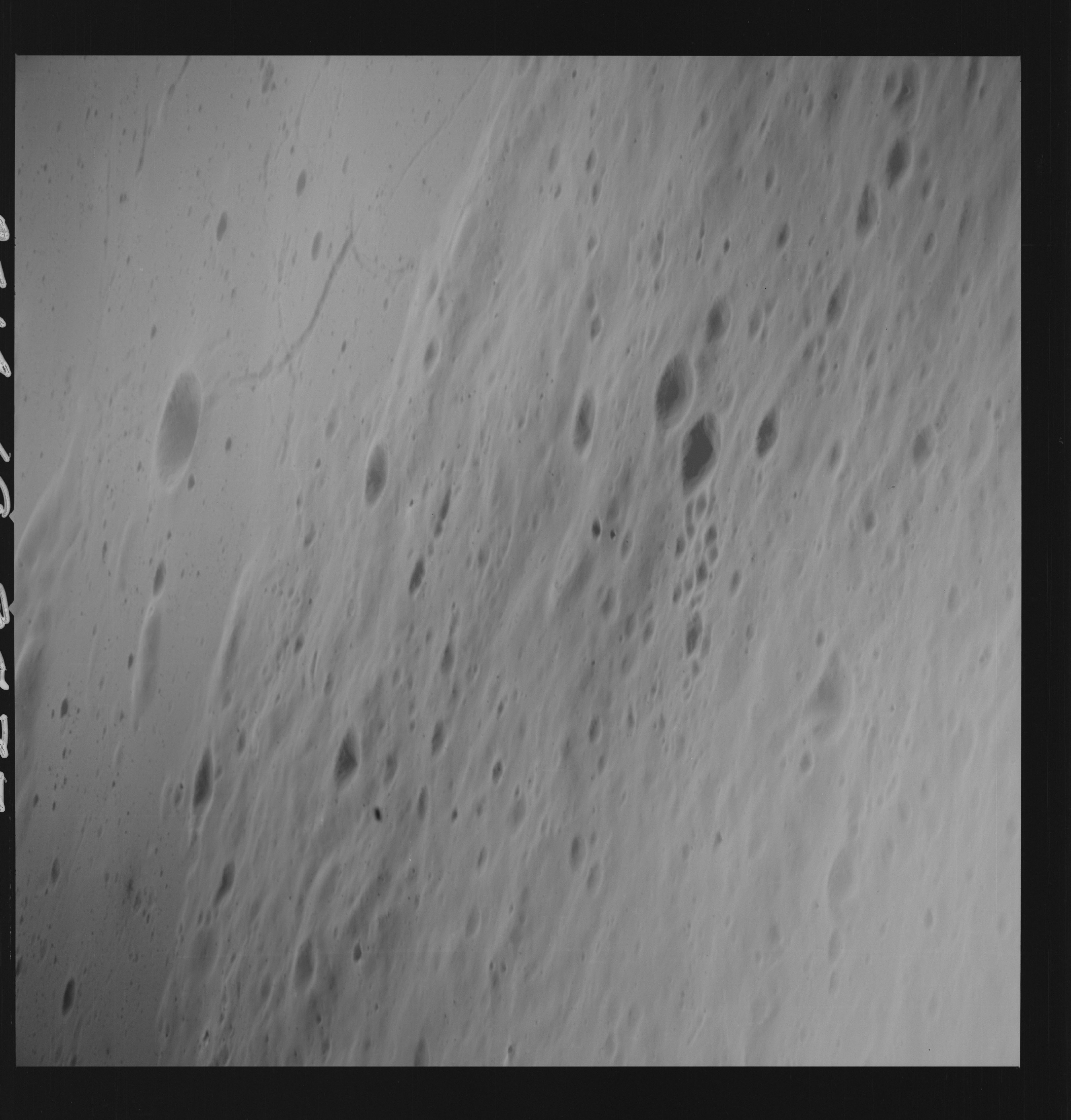 | AS14-69-9577 FRA MAURO AREA Location: 1° S, 14° W Image credit: National Archives and Records Administration |
 | AS14-69-9578 APPROXIMATE AREA OF DE-2; 4 DEGREES E OF DESCARTES LANDING SITE Location: 9.5° S, 19.5° E Image credit: National Archives and Records Administration |
 | AS14-69-9579 OBLIQUE SEQUENCE JUST PRIOR TO DESCARTES Location: 9.5° S, 19° E Image credit: National Archives and Records Administration |
 | AS14-69-9580 OBLIQUE SEQUENCE JUST PRIOR TO DESCARTES Location: 9.5° S, 18.5° E Image credit: National Archives and Records Administration |
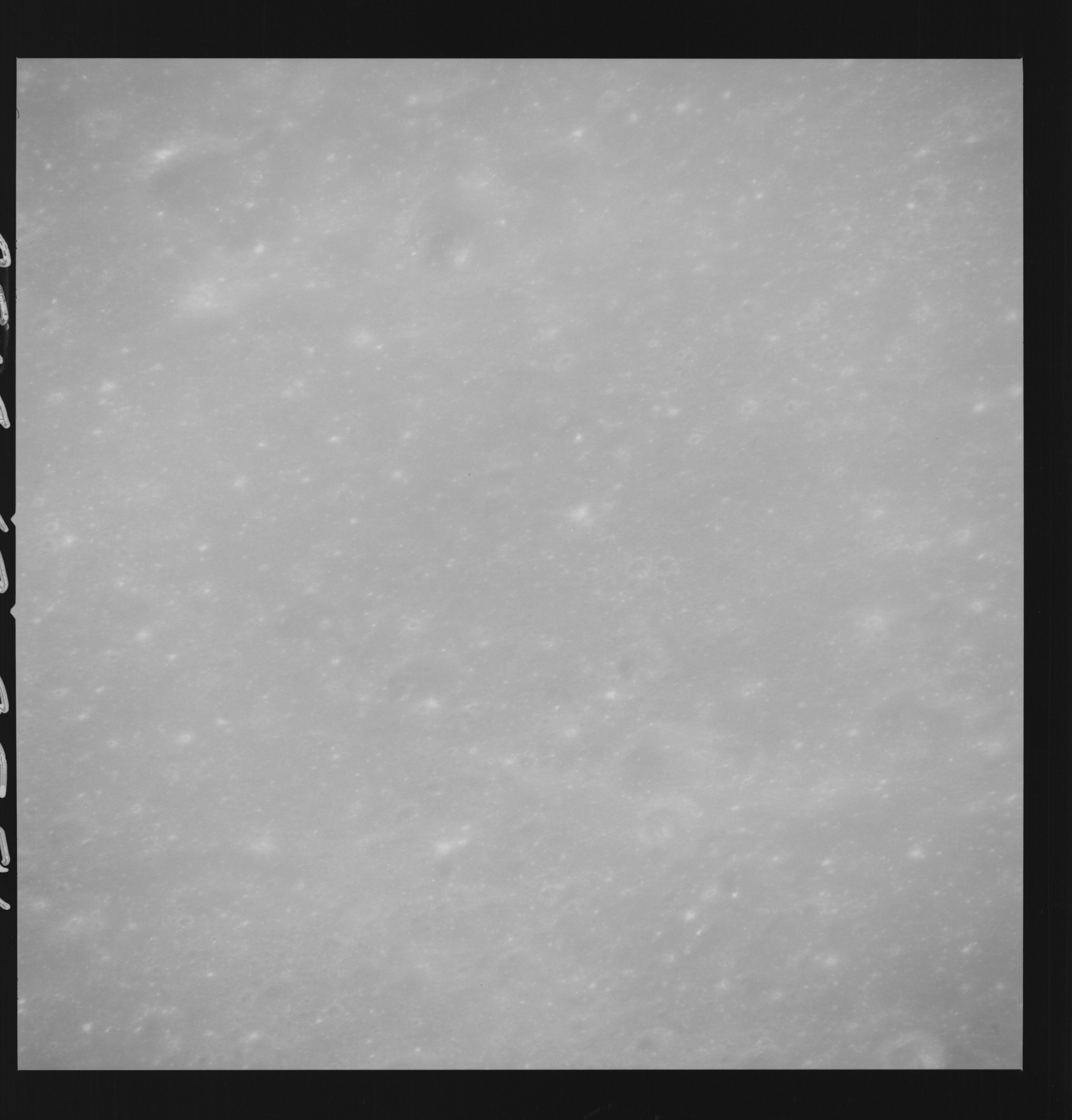 | AS14-69-9581 OBLIQUE SEQUENCE JUST PRIOR TO DESCARTES Location: 9.5° S, 18.5° E Image credit: National Archives and Records Administration |
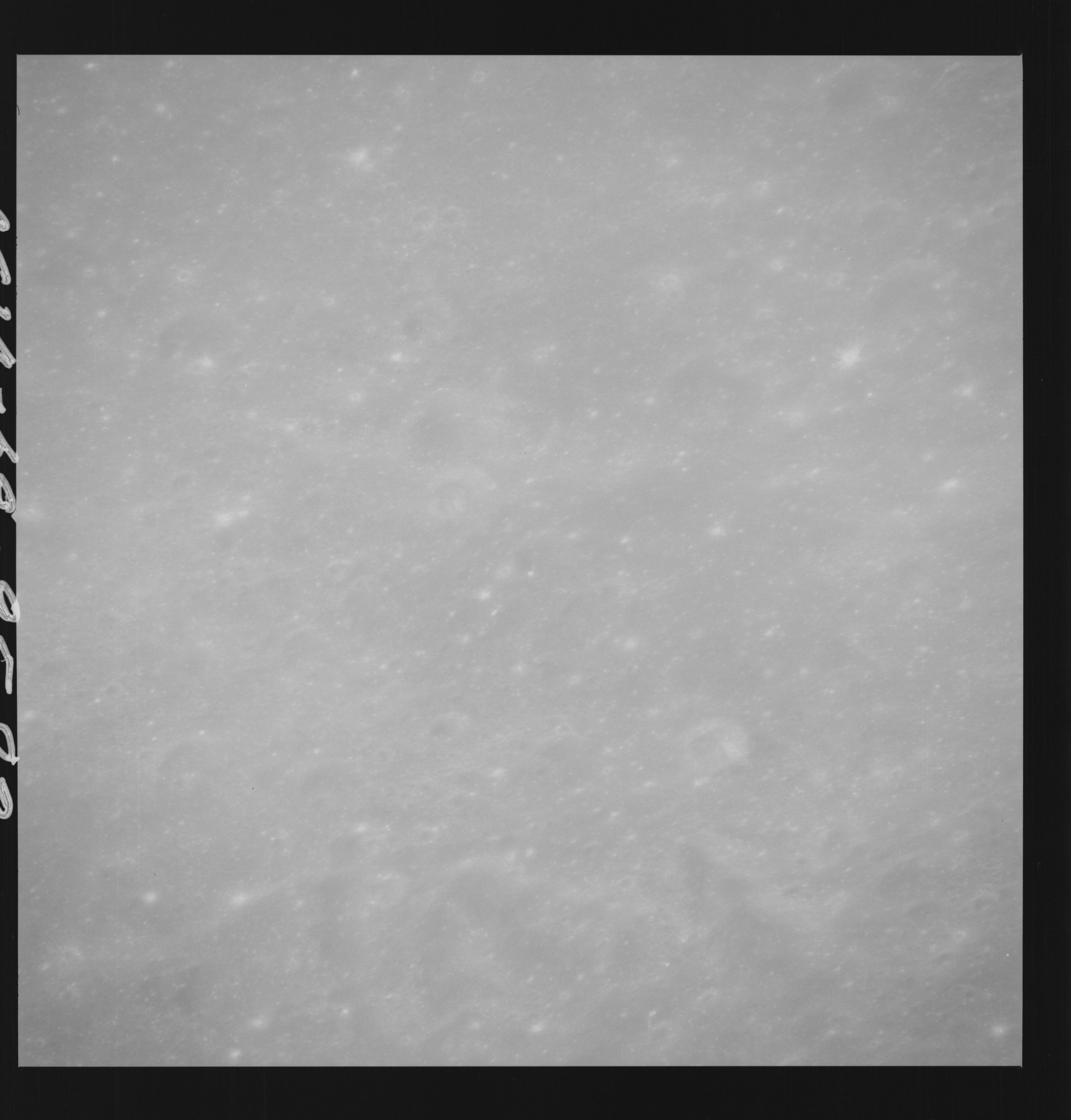 | AS14-69-9582 OBLIQUE SEQUENCE JUST PRIOR TO DESCARTES Location: 9.5° S, 18.5° E Image credit: National Archives and Records Administration |
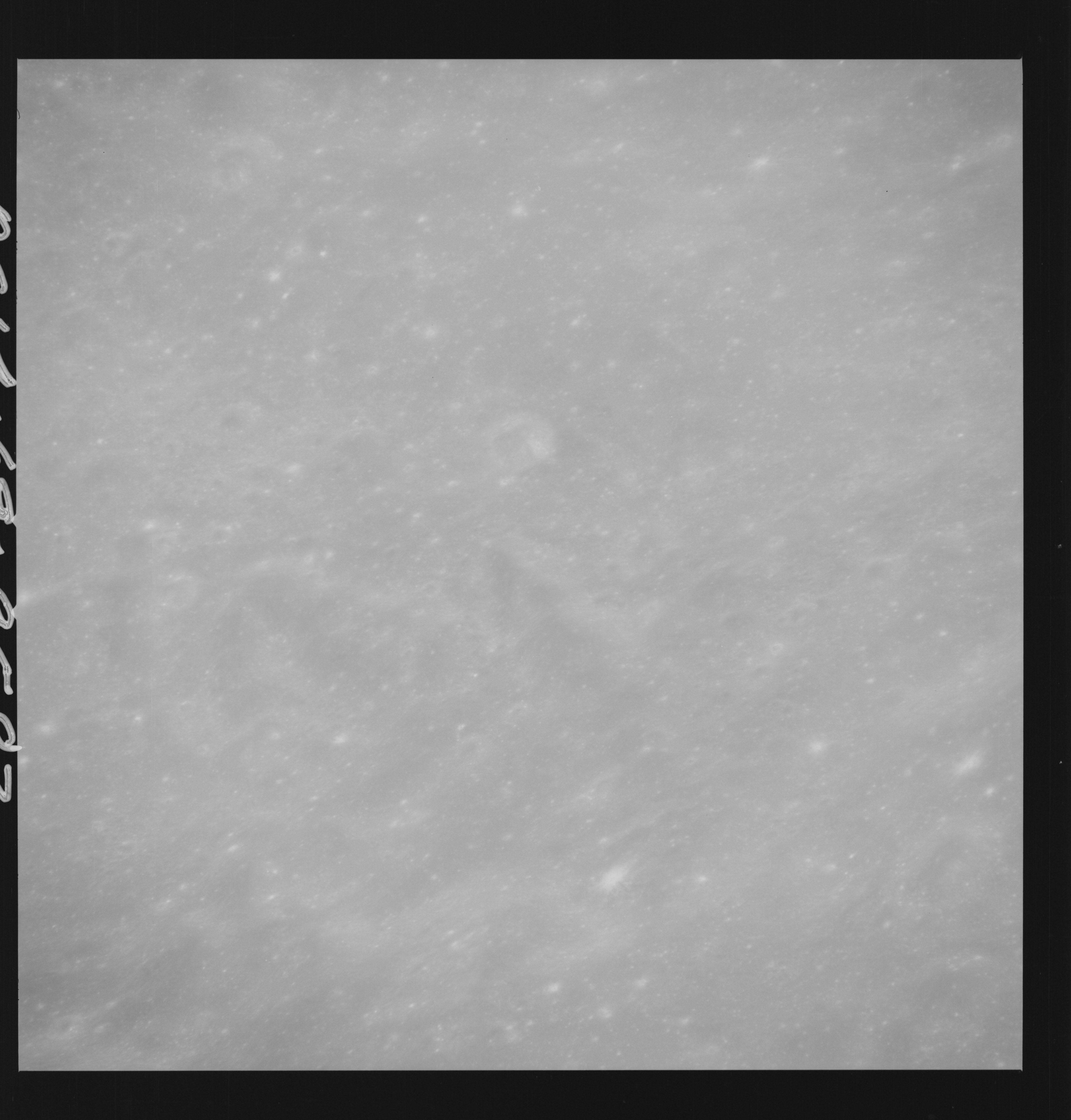 | AS14-69-9583 OBLIQUE SEQUENCE JUST PRIOR TO DESCARTES Location: 9.5° S, 18° E Image credit: National Archives and Records Administration |
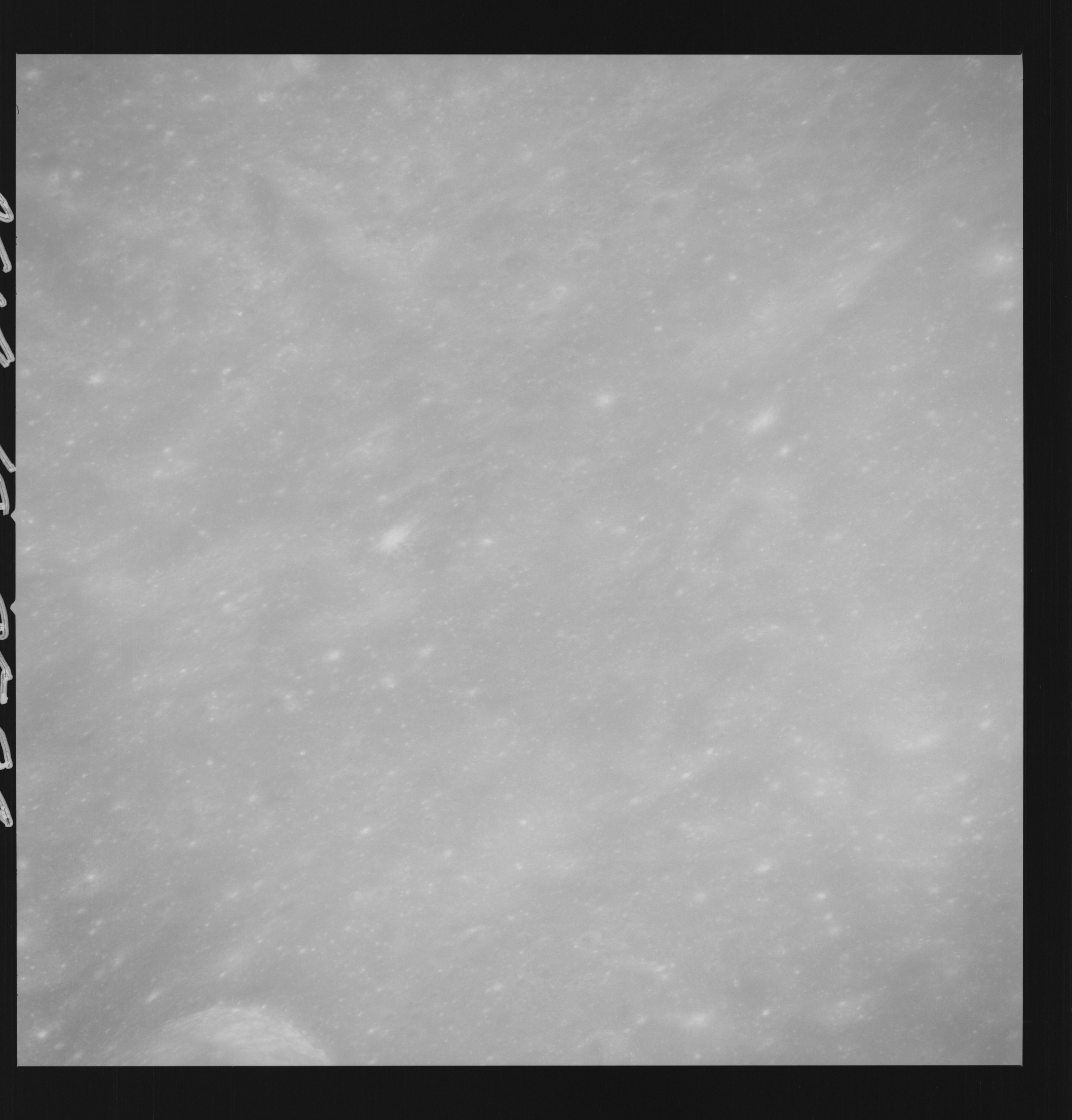 | AS14-69-9584 OBLIQUE SEQUENCE JUST PRIOR TO DESCARTES Location: 9.5° S, 18° E Image credit: National Archives and Records Administration |
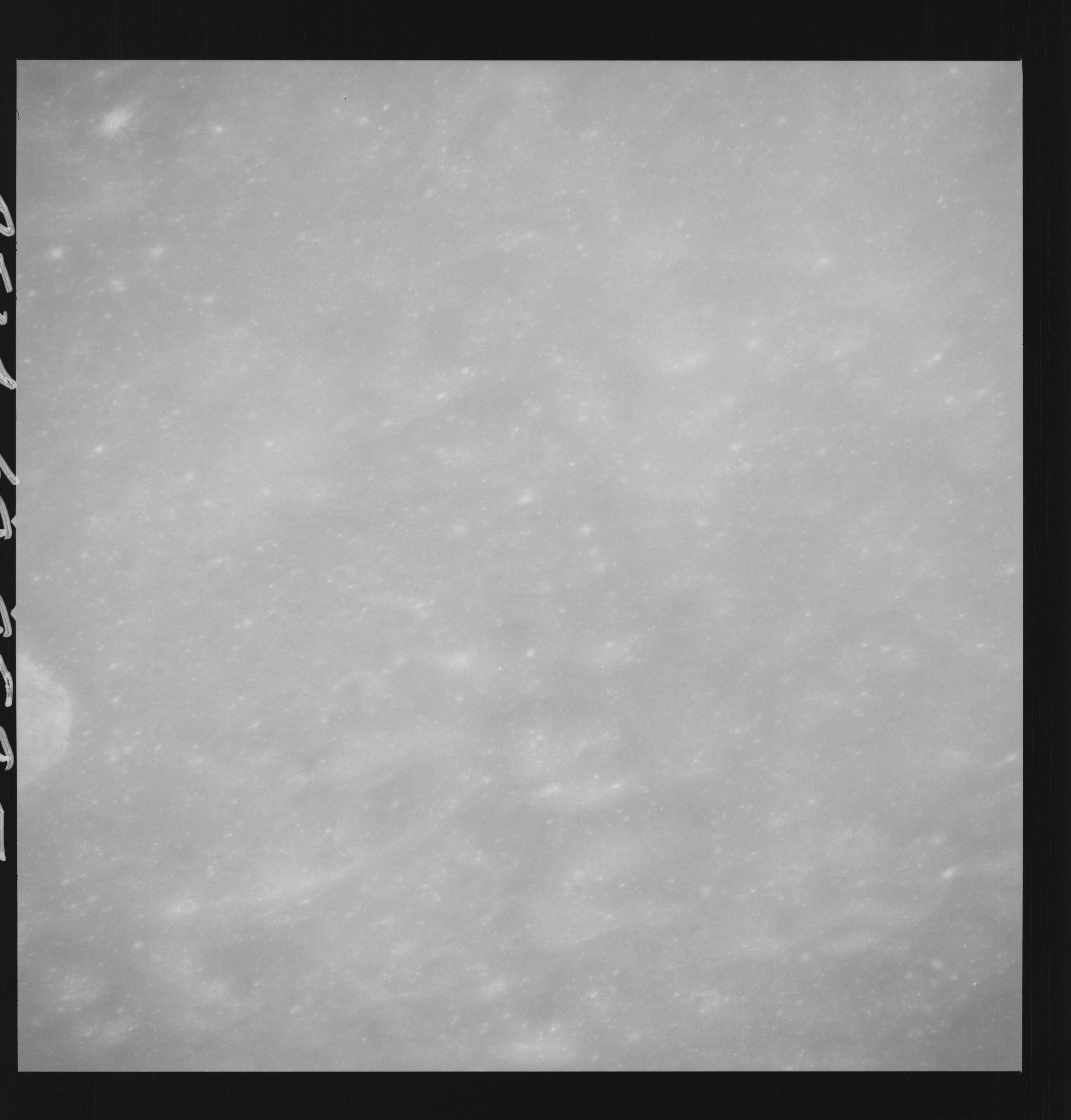 | AS14-69-9585 OBLIQUE SEQUENCE JUST PRIOR TO DESCARTES LANDING SITE Location: 9.5° S, 17.5° E Image credit: National Archives and Records Administration |
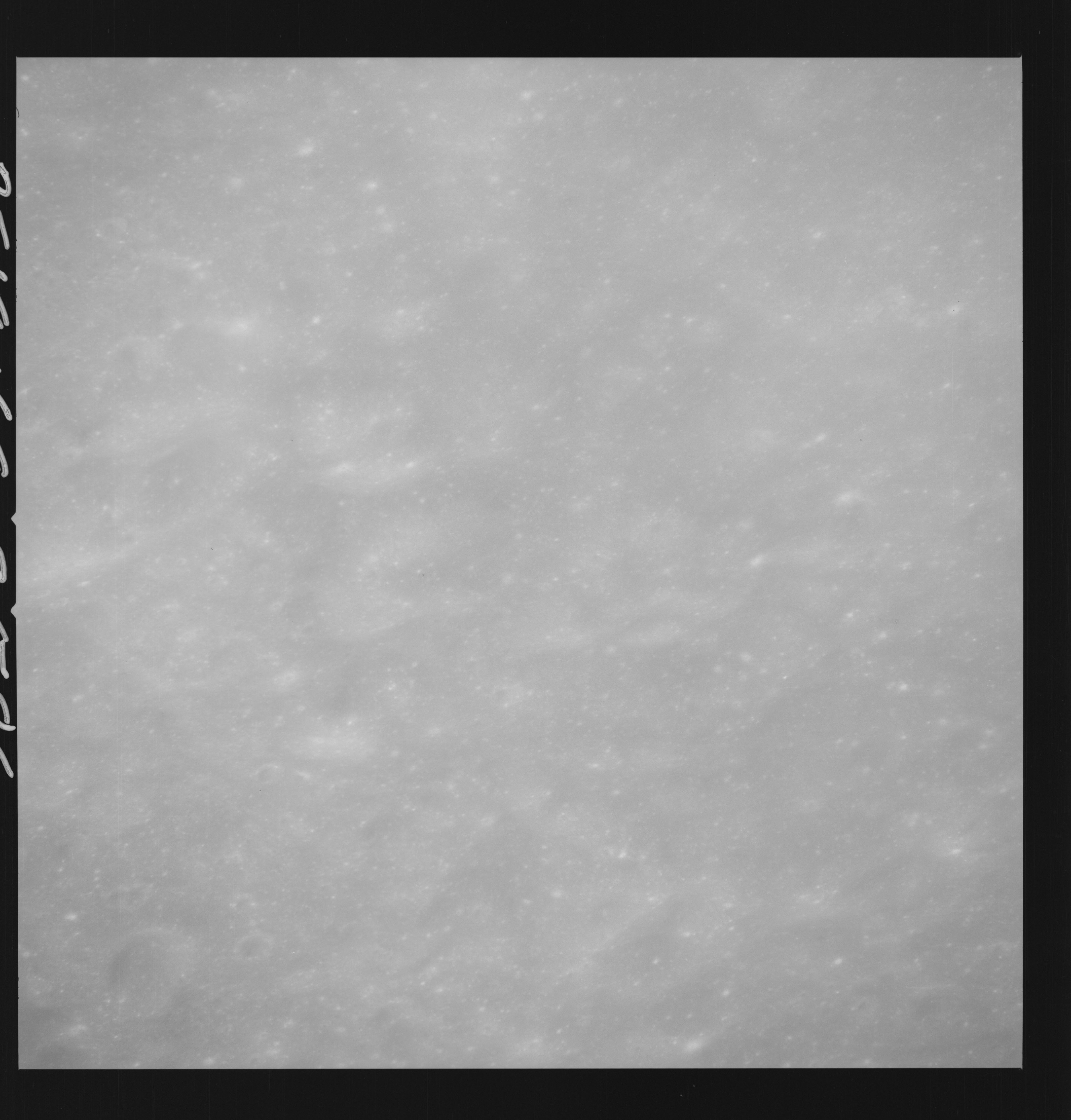 | AS14-69-9586 OBLIQUE SEQUENCE JUST PRIOR TO DESCARTES LANDING SITE Location: 9.5° S, 16.5° E Image credit: National Archives and Records Administration |
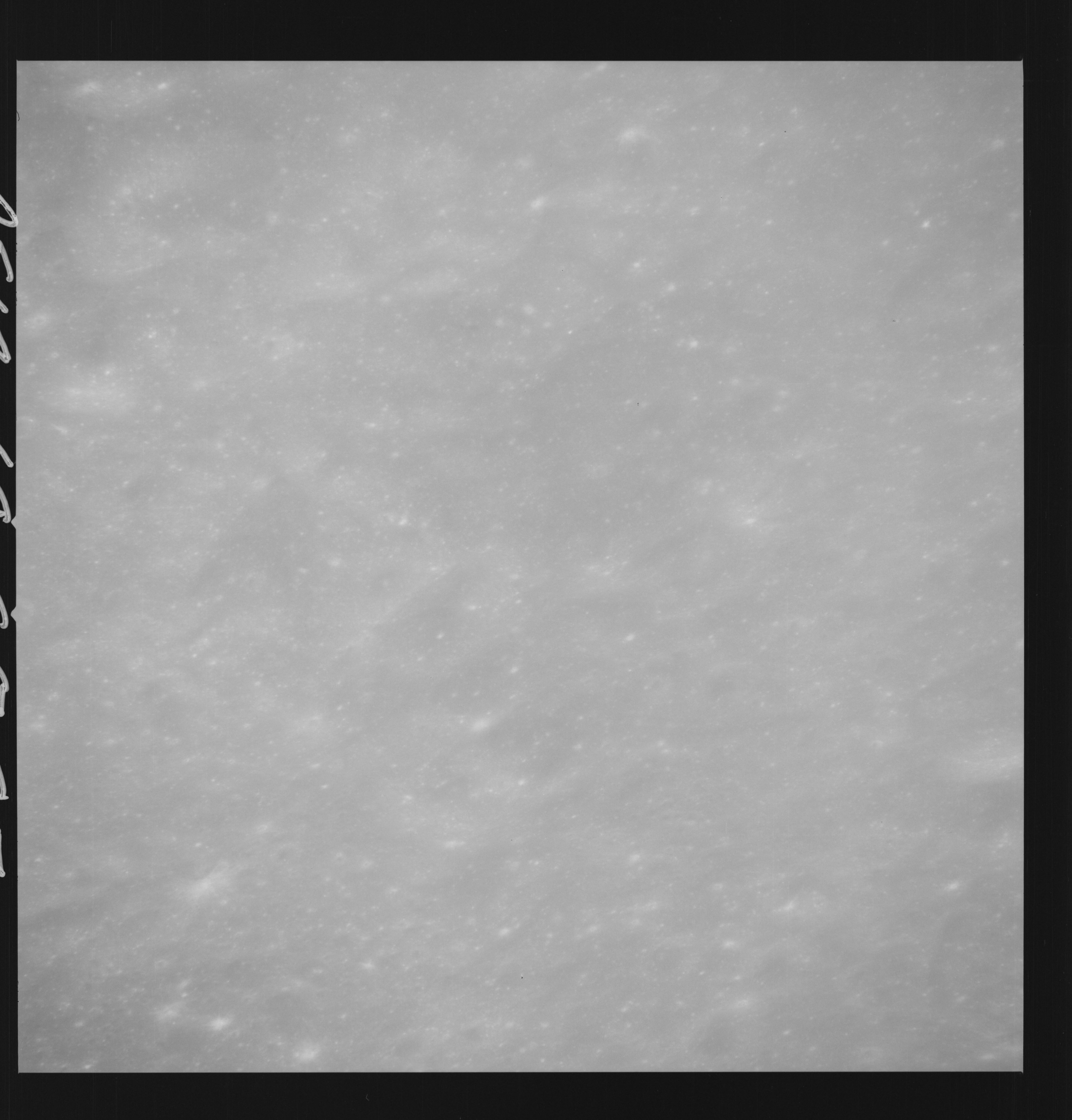 | AS14-69-9587 OBLIQUE SEQUENCE JUST PRIOR TO DESCARTES LANDING SITE Location: 9.5° S, 16.5° E Image credit: National Archives and Records Administration |
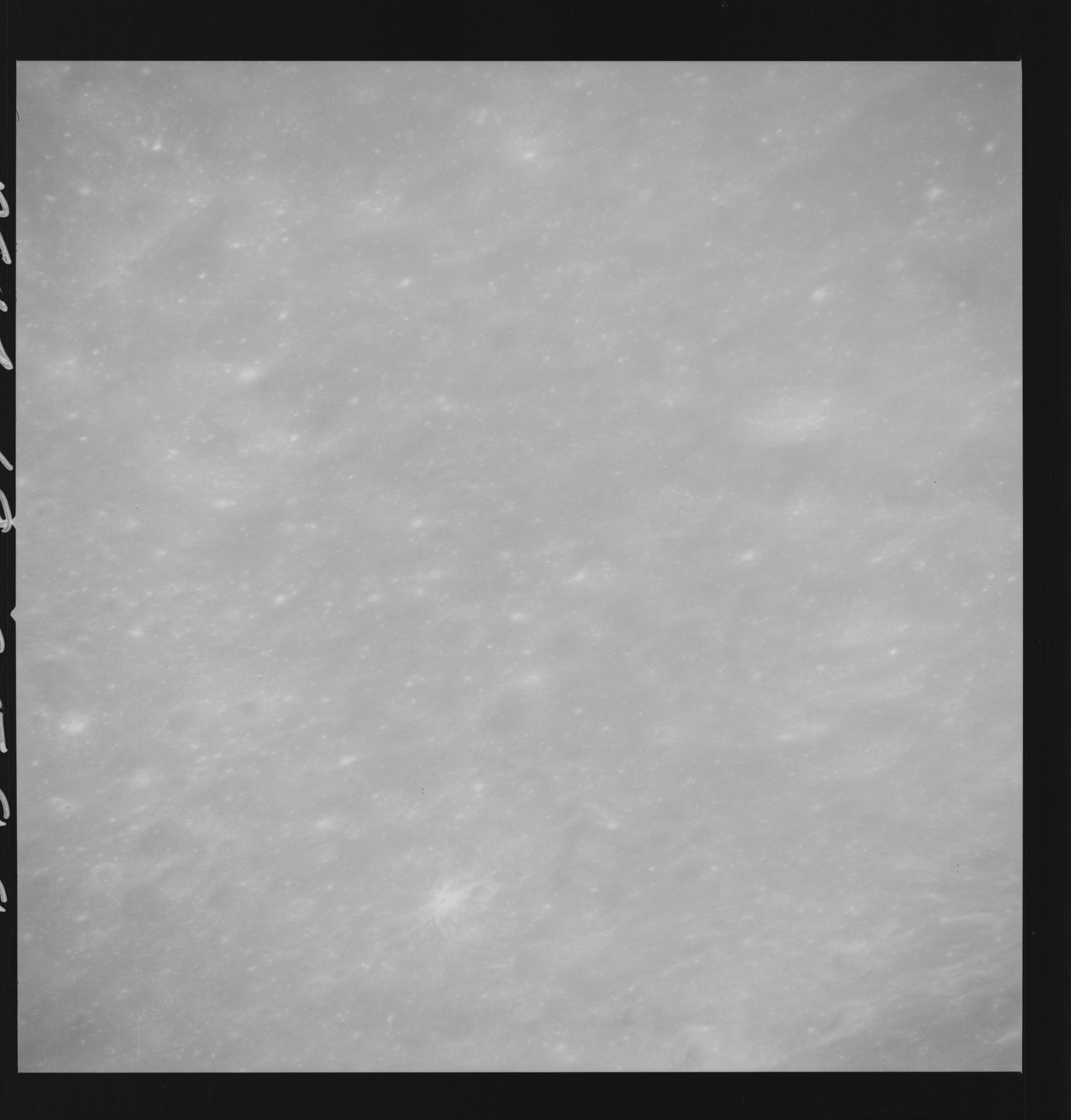 | AS14-69-9588 OBLIQUE SEQUENCE JUST PRIOR TO DESCARTES LANDING SITE Location: 9.5° S, 16° E Image credit: National Archives and Records Administration |
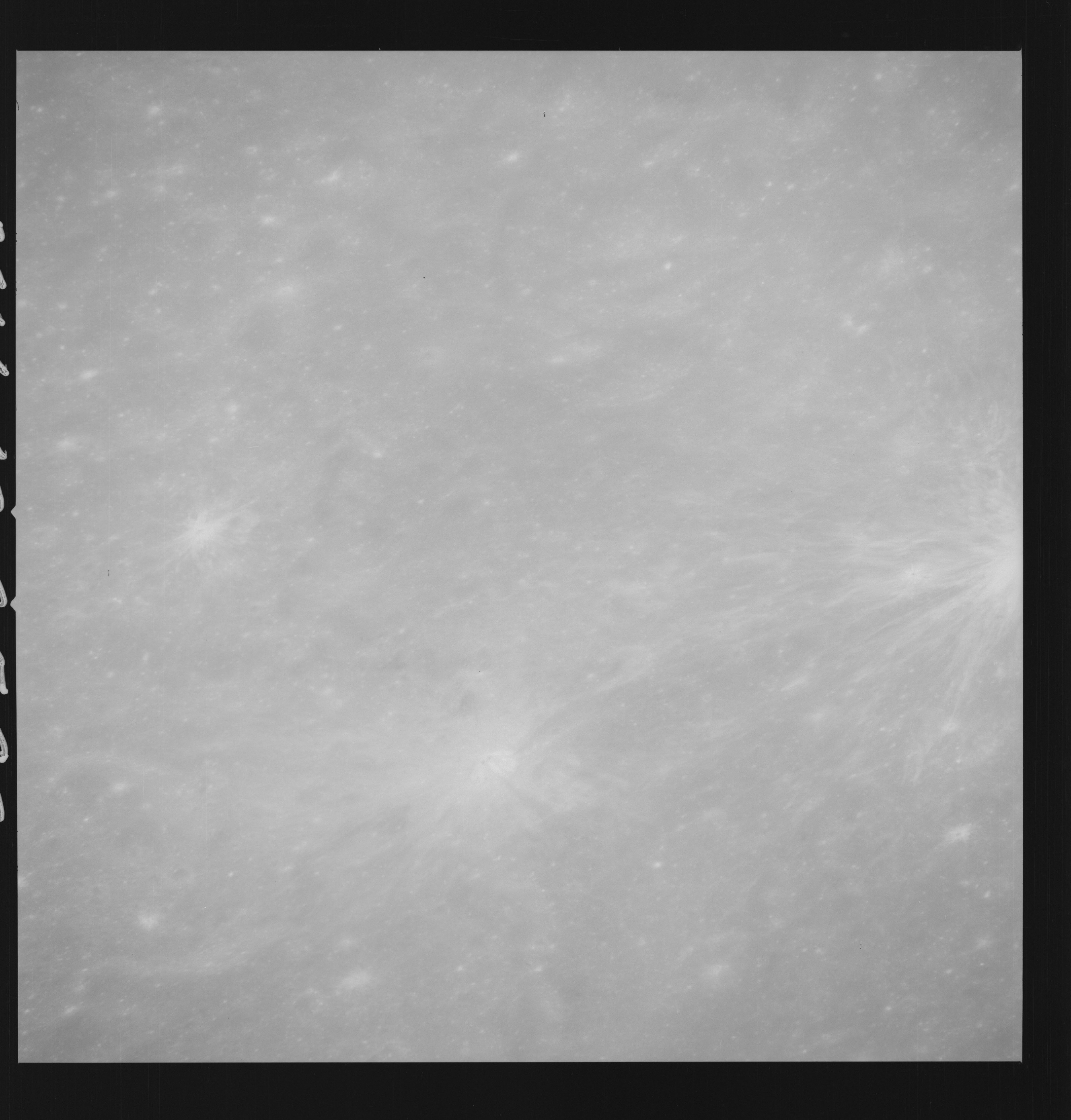 | AS14-69-9589 APOLLO 16 LANDING SITE DESCARTES Location: 9.5° S, 15.5° E Image credit: National Archives and Records Administration |
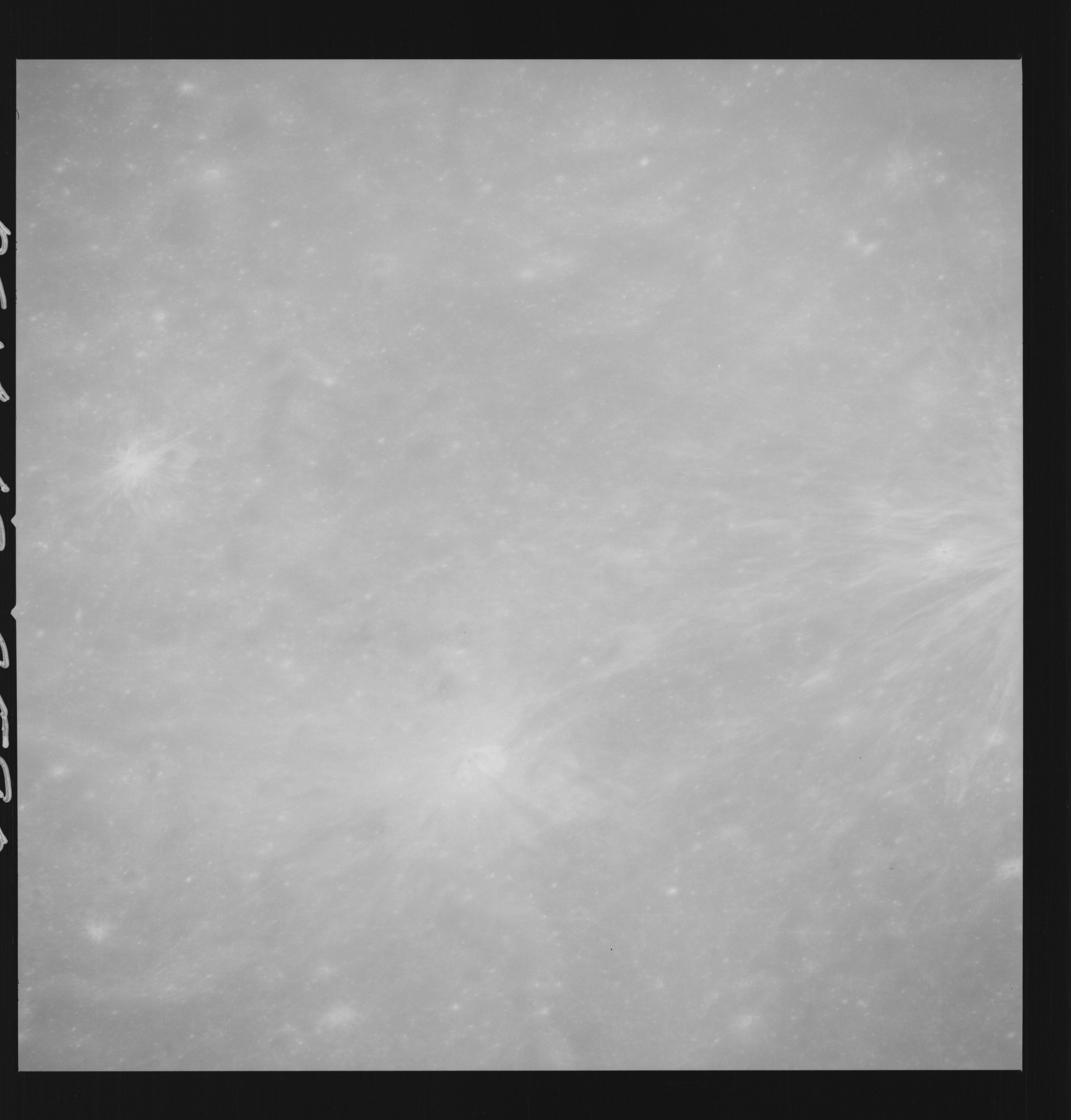 | AS14-69-9590 APOLLO 16 LANDING SITE DESCARTES Location: 9.5° S, 15.5° E Image credit: National Archives and Records Administration |
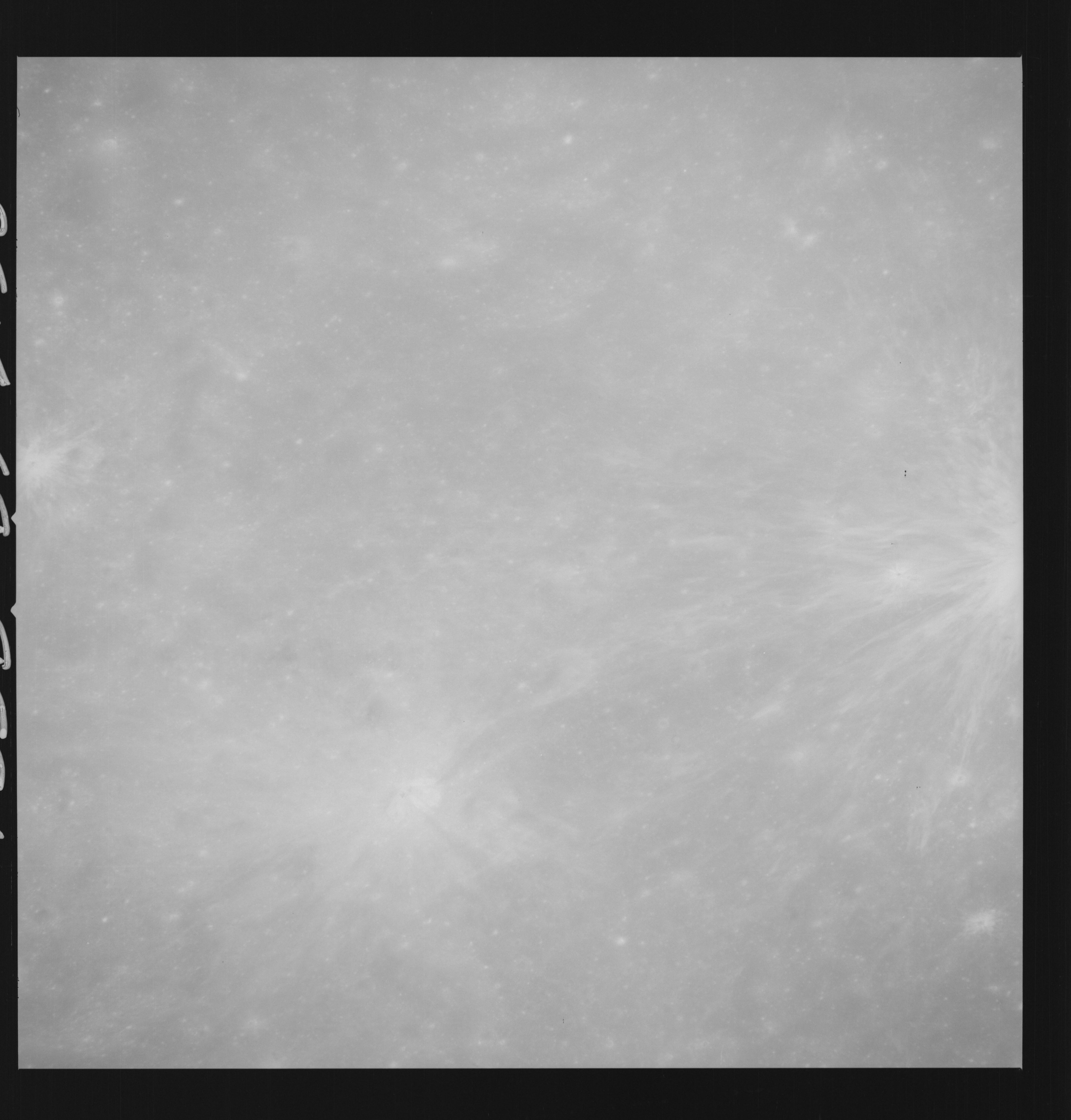 | AS14-69-9591 APOLLO 16 LANDING SITE DESCARTES Location: 9.5° S, 15.5° E Image credit: National Archives and Records Administration |
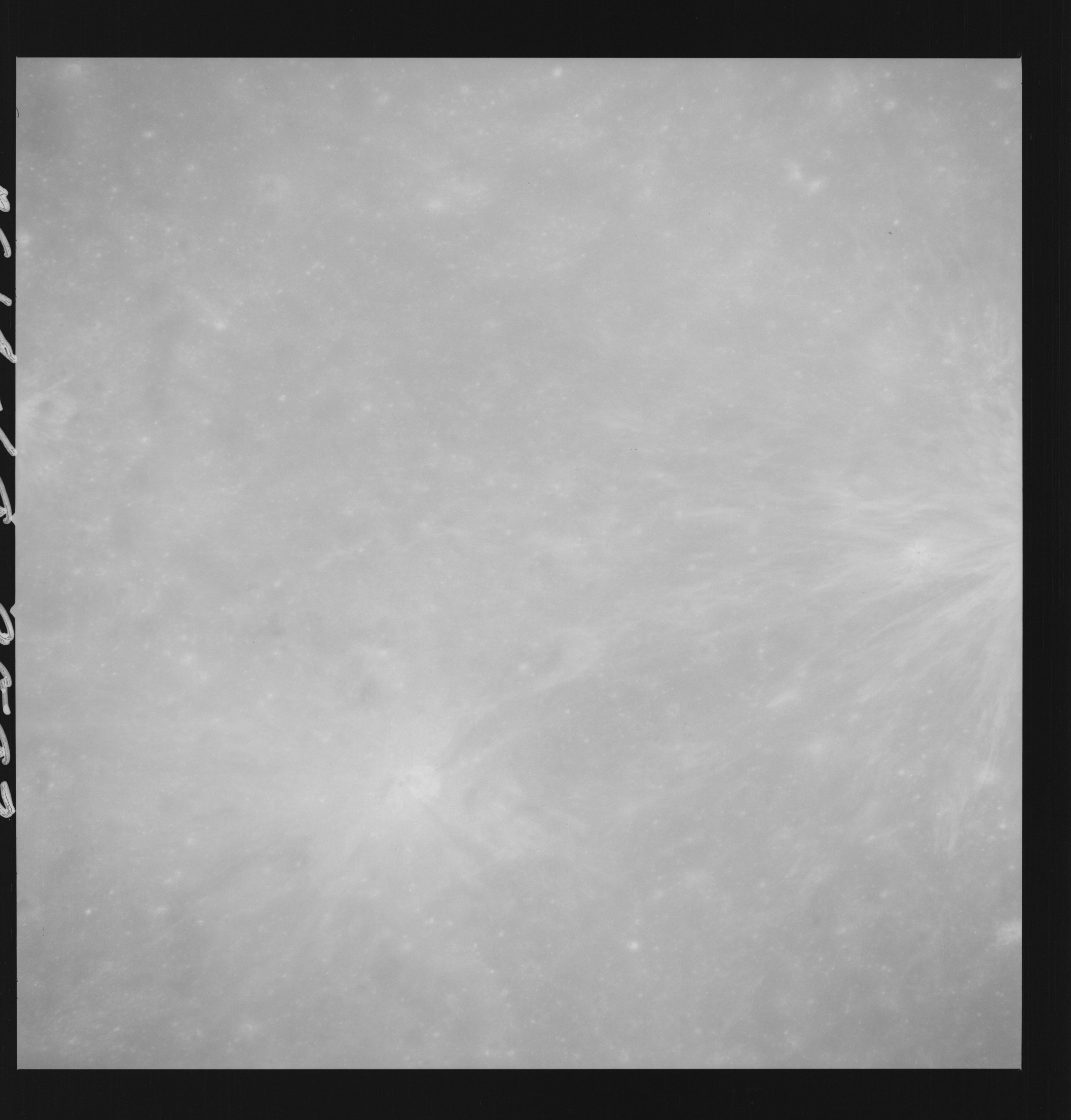 | AS14-69-9592 APOLLO 16 LANDING SITE DESCARTES Location: 9.5° S, 15.5° E Image credit: National Archives and Records Administration |
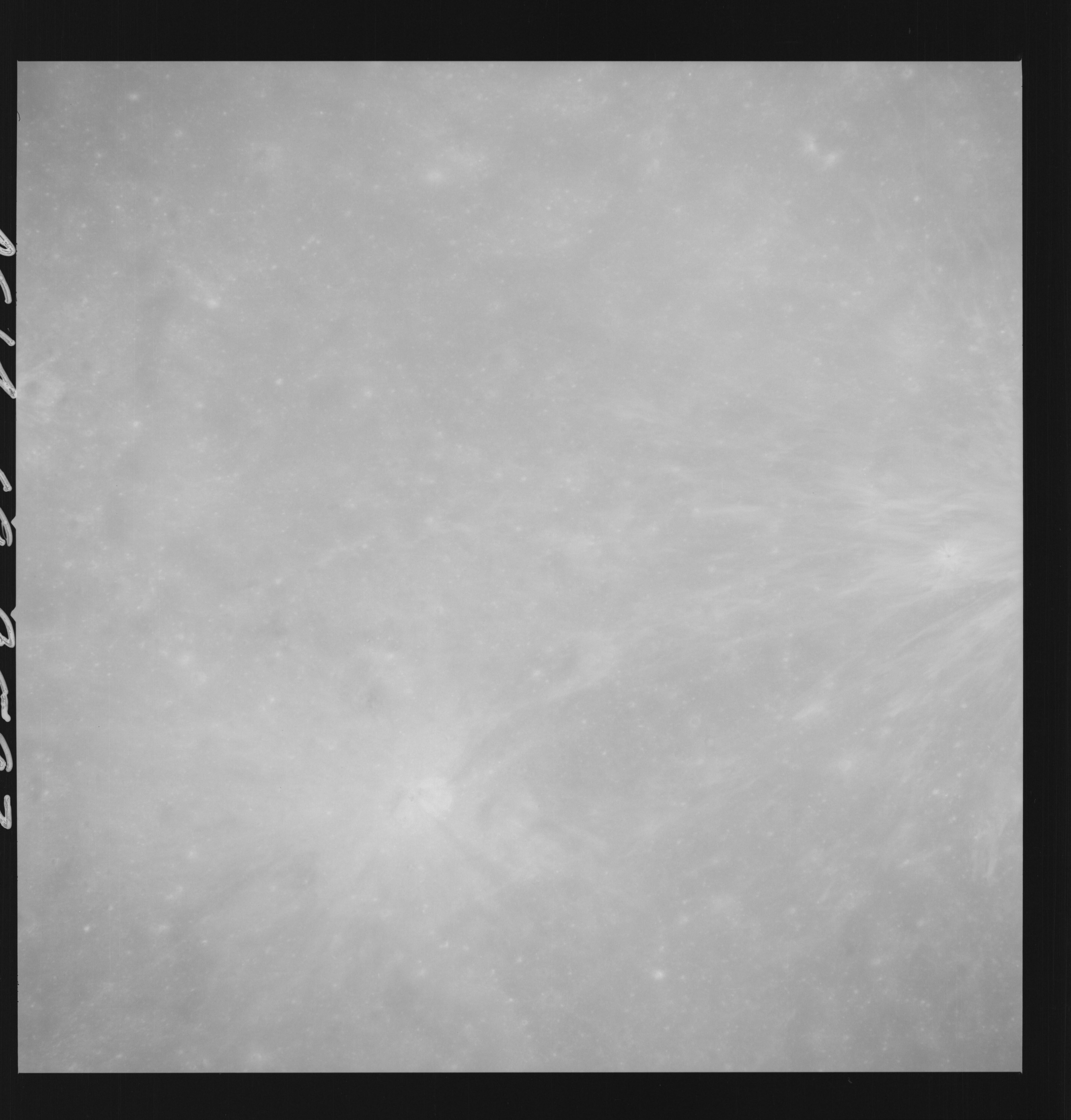 | AS14-69-9593 APOLLO 16 LANDING SITE DESCARTES Location: 9.5° S, 15.5° E Image credit: National Archives and Records Administration |
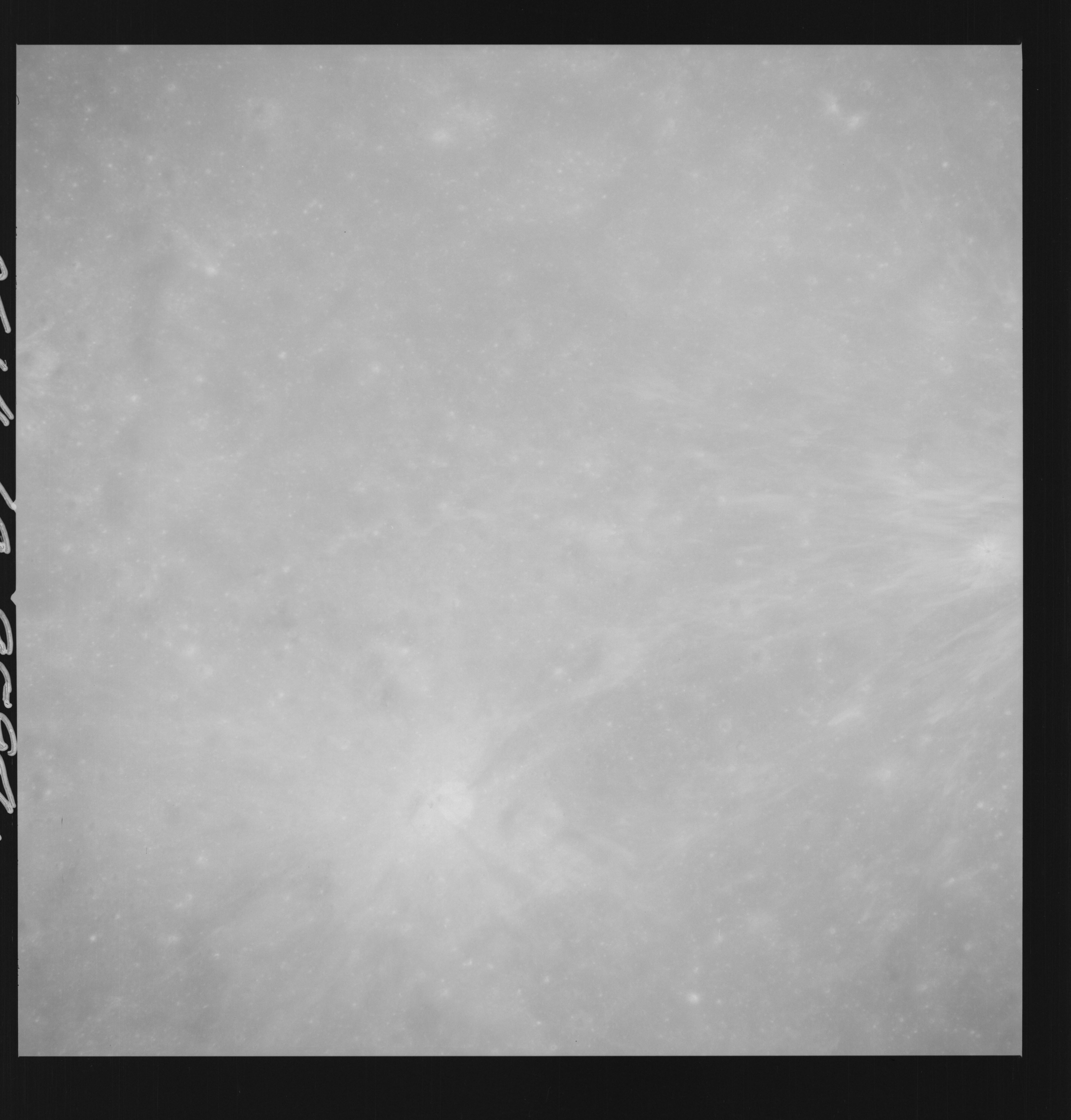 | AS14-69-9594 APOLLO 16 LANDING SITE DESCARTES Location: 9.5° S, 15.5° E Image credit: National Archives and Records Administration |
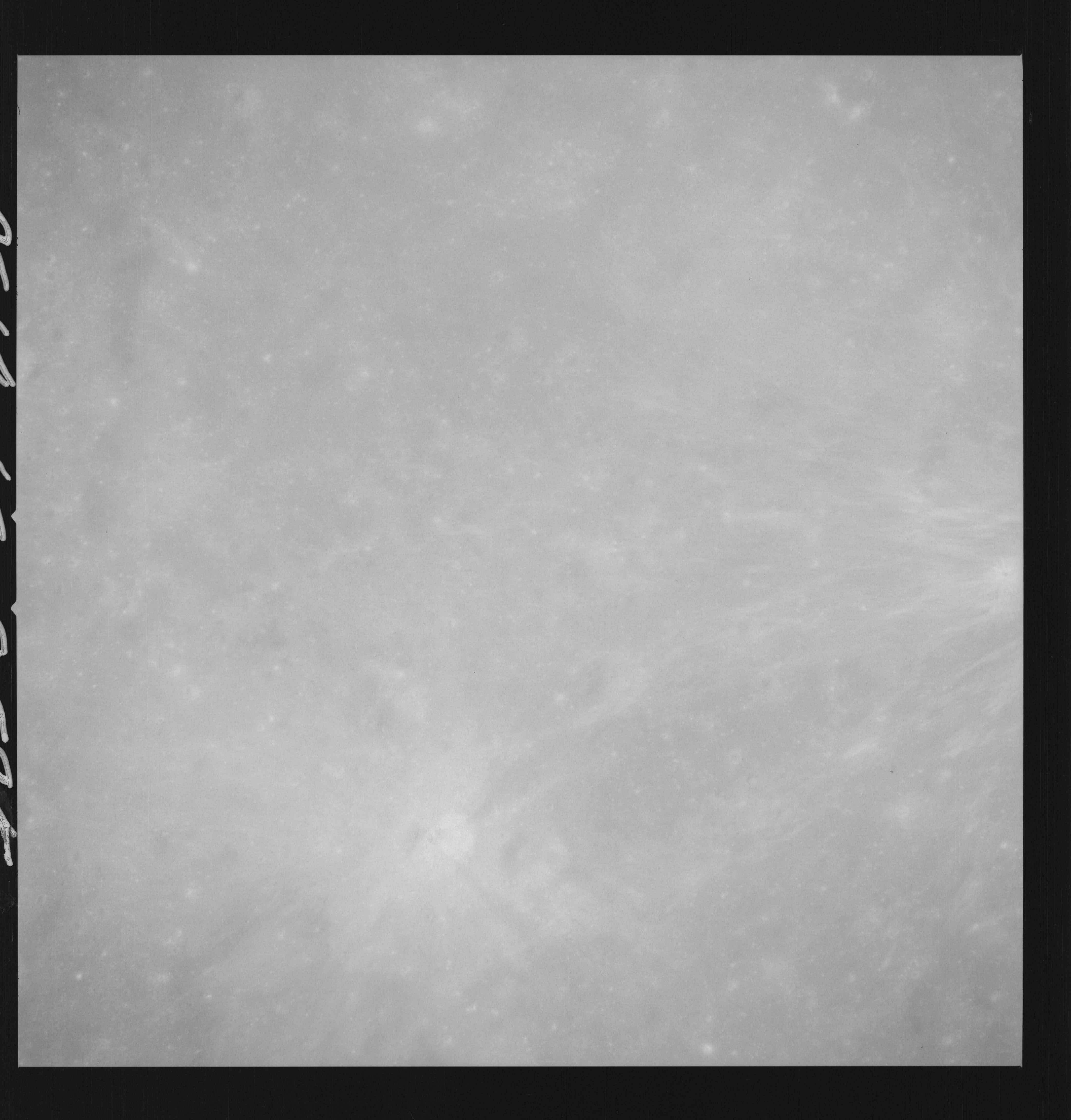 | AS14-69-9595 APOLLO 16 LANDING SITE DESCARTES Location: 9° S, 15.5° E Image credit: National Archives and Records Administration |
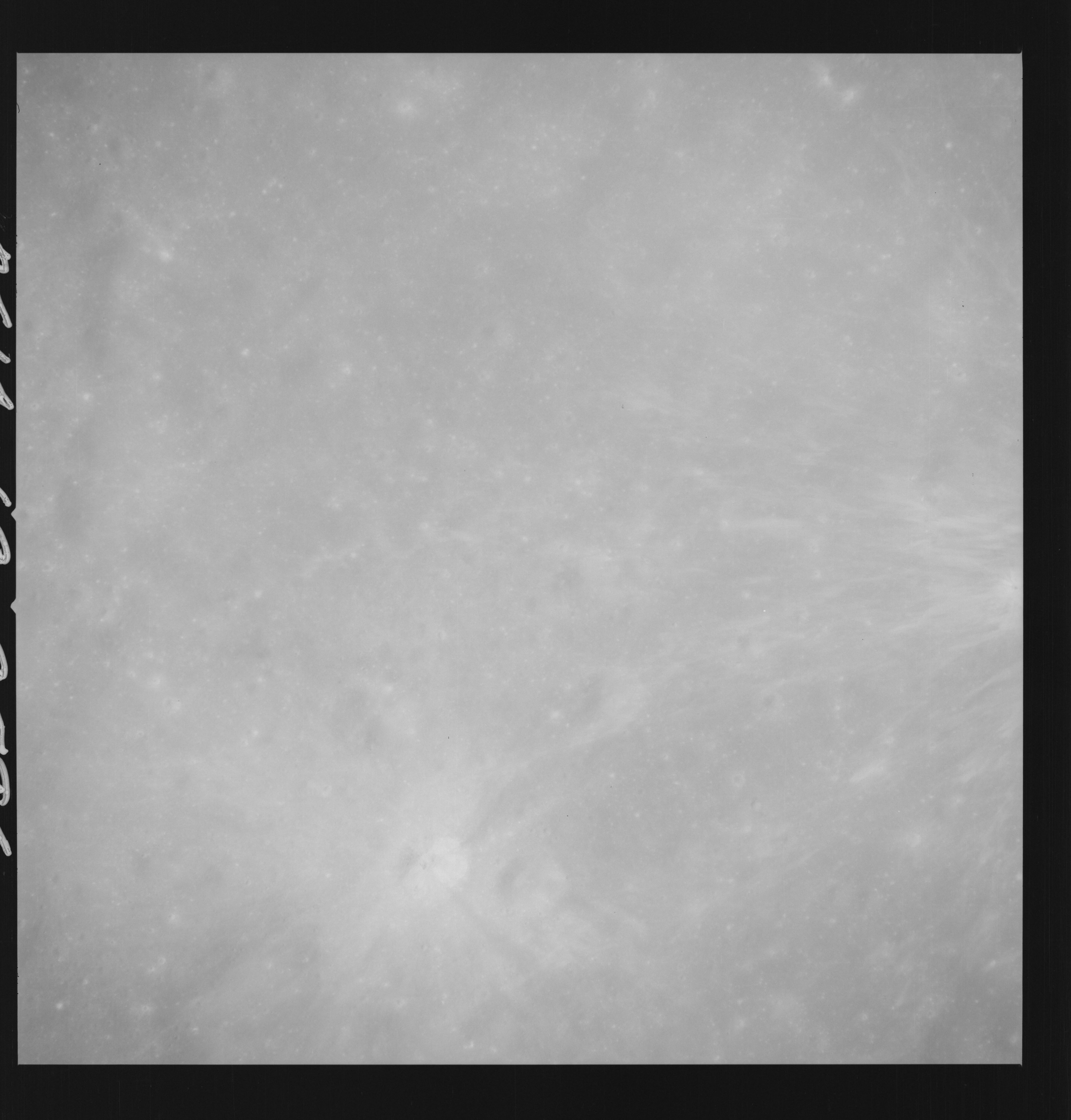 | AS14-69-9596 APOLLO 16 LANDING SITE DESCARTES Location: 9° S, 15.5° E Image credit: National Archives and Records Administration |
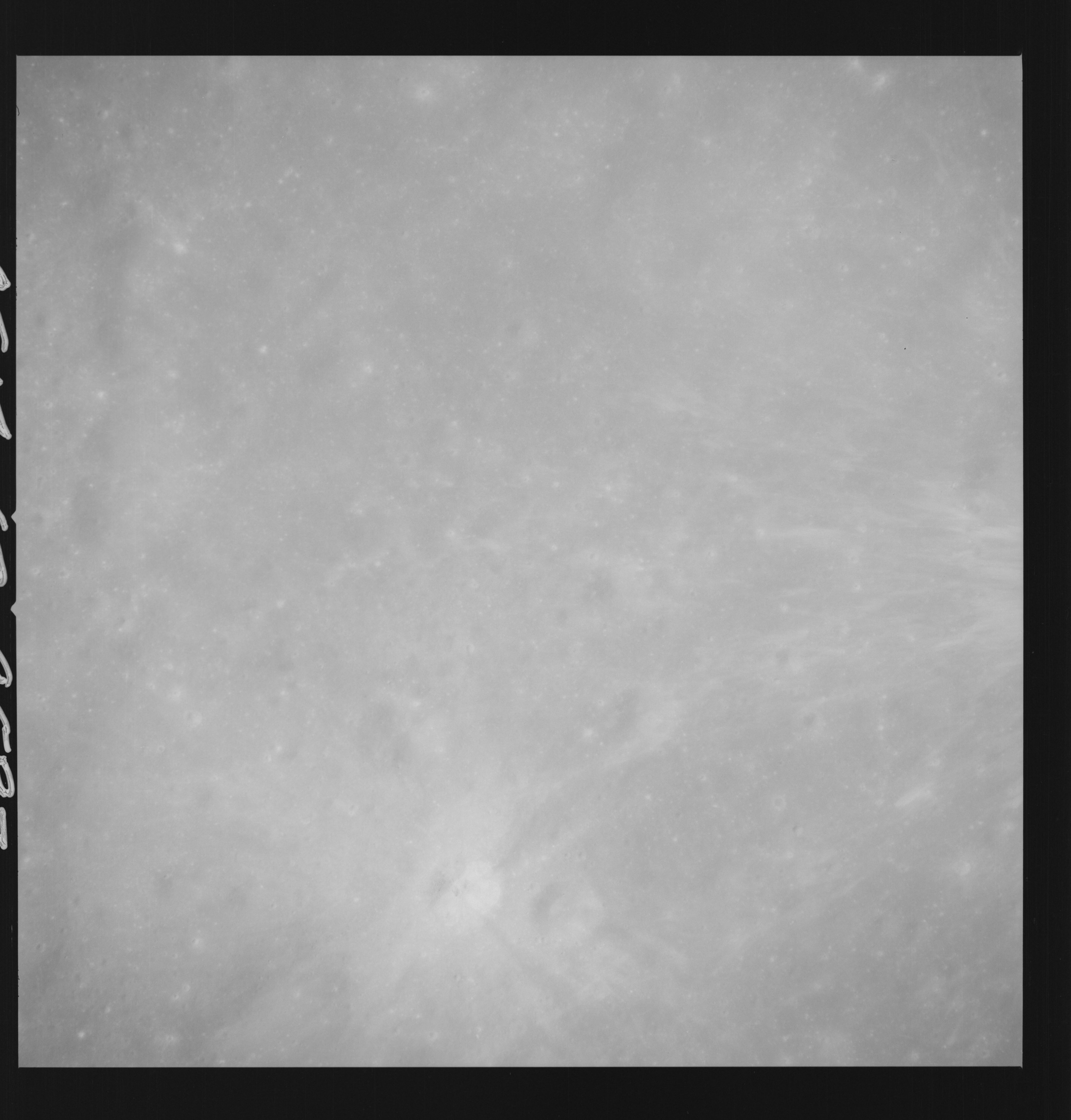 | AS14-69-9597 APOLLO 16 LANDING SITE DESCARTES Location: 9° S, 15.5° E Image credit: National Archives and Records Administration |
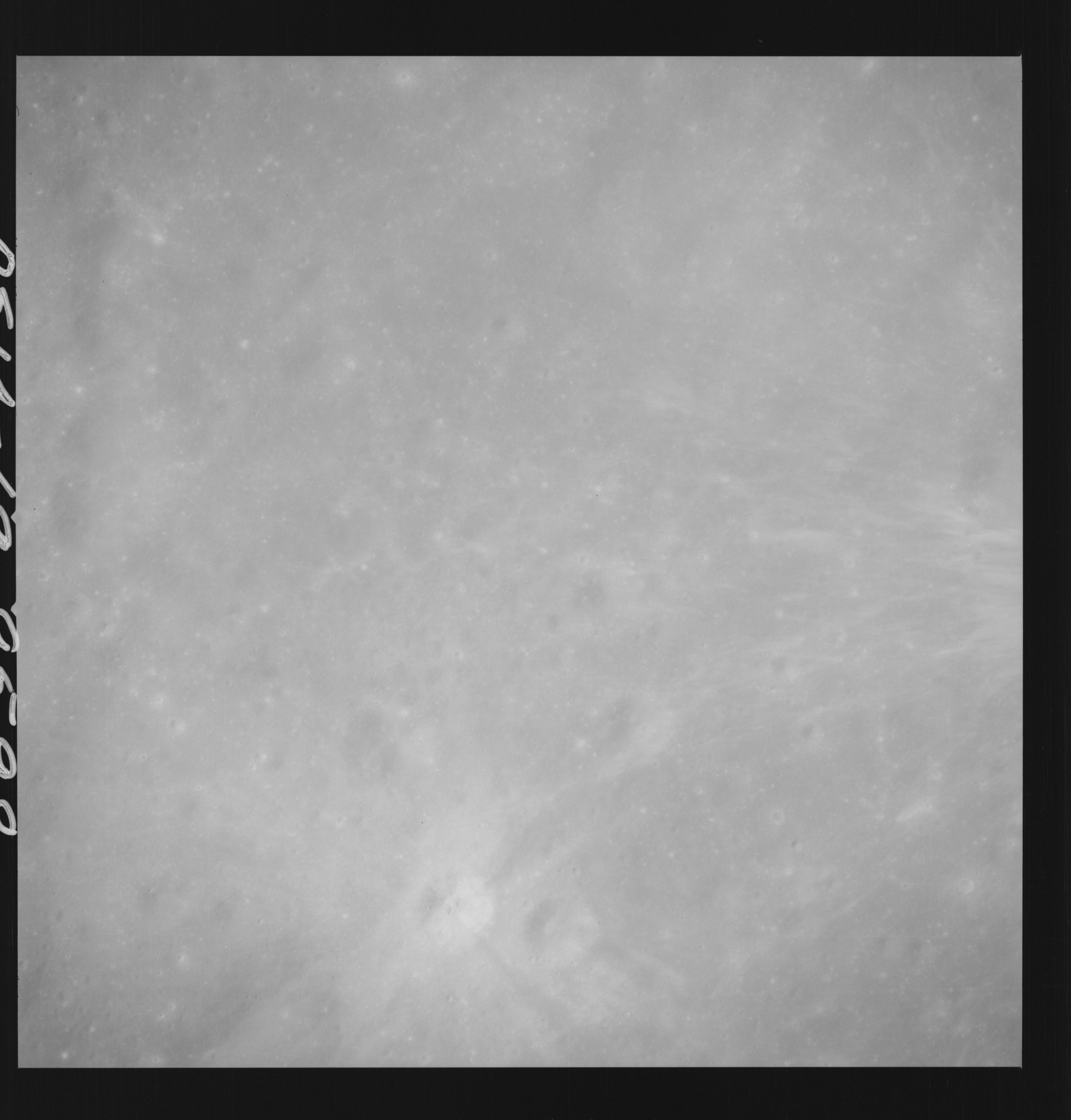 | AS14-69-9598 APOLLO 16 LANDING SITE DESCARTES Location: 9° S, 15.5° E Image credit: National Archives and Records Administration |
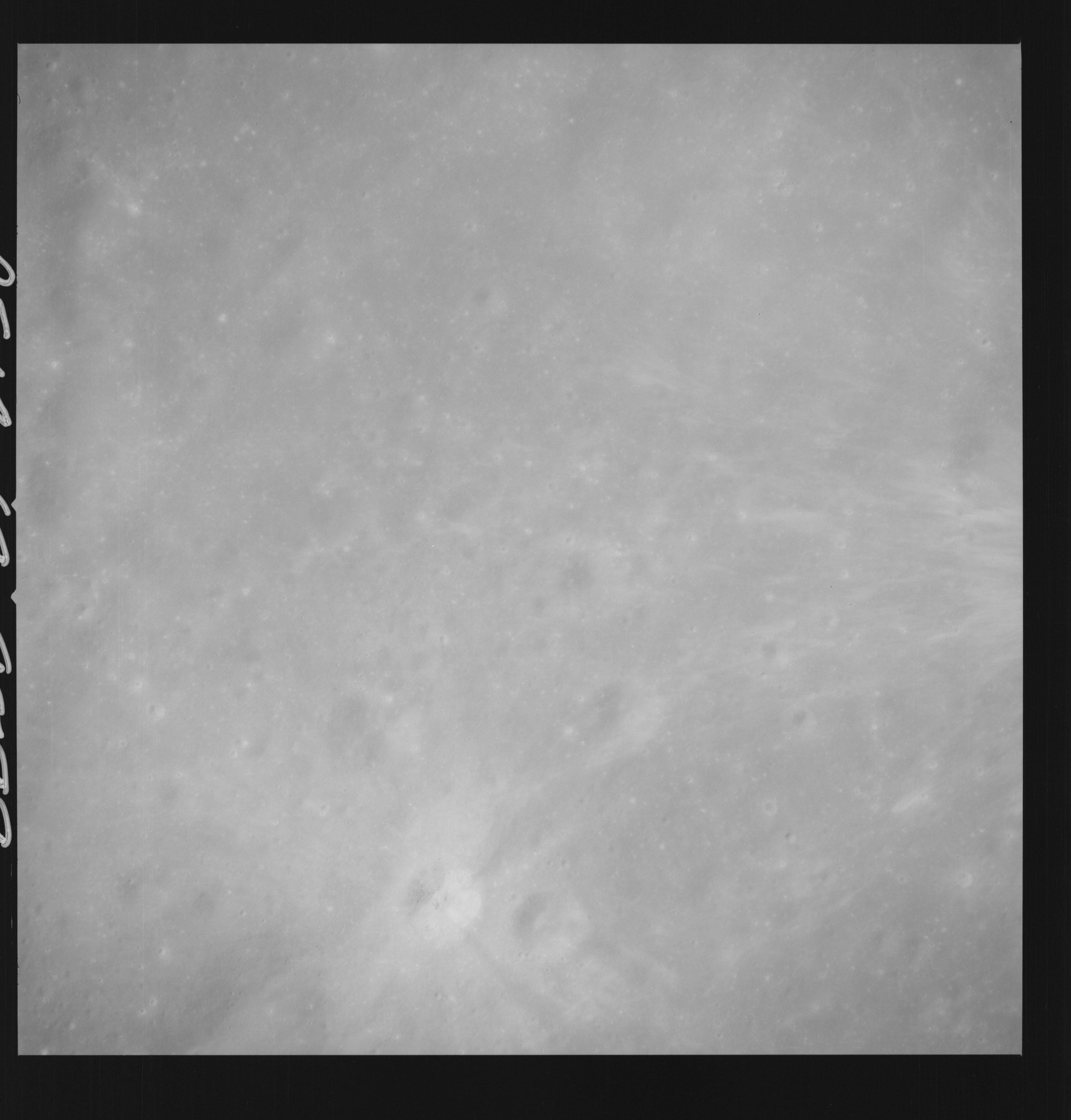 | AS14-69-9599 APOLLO 16 LANDING SITE DESCARTES Location: 9° S, 15.5° E Image credit: National Archives and Records Administration |
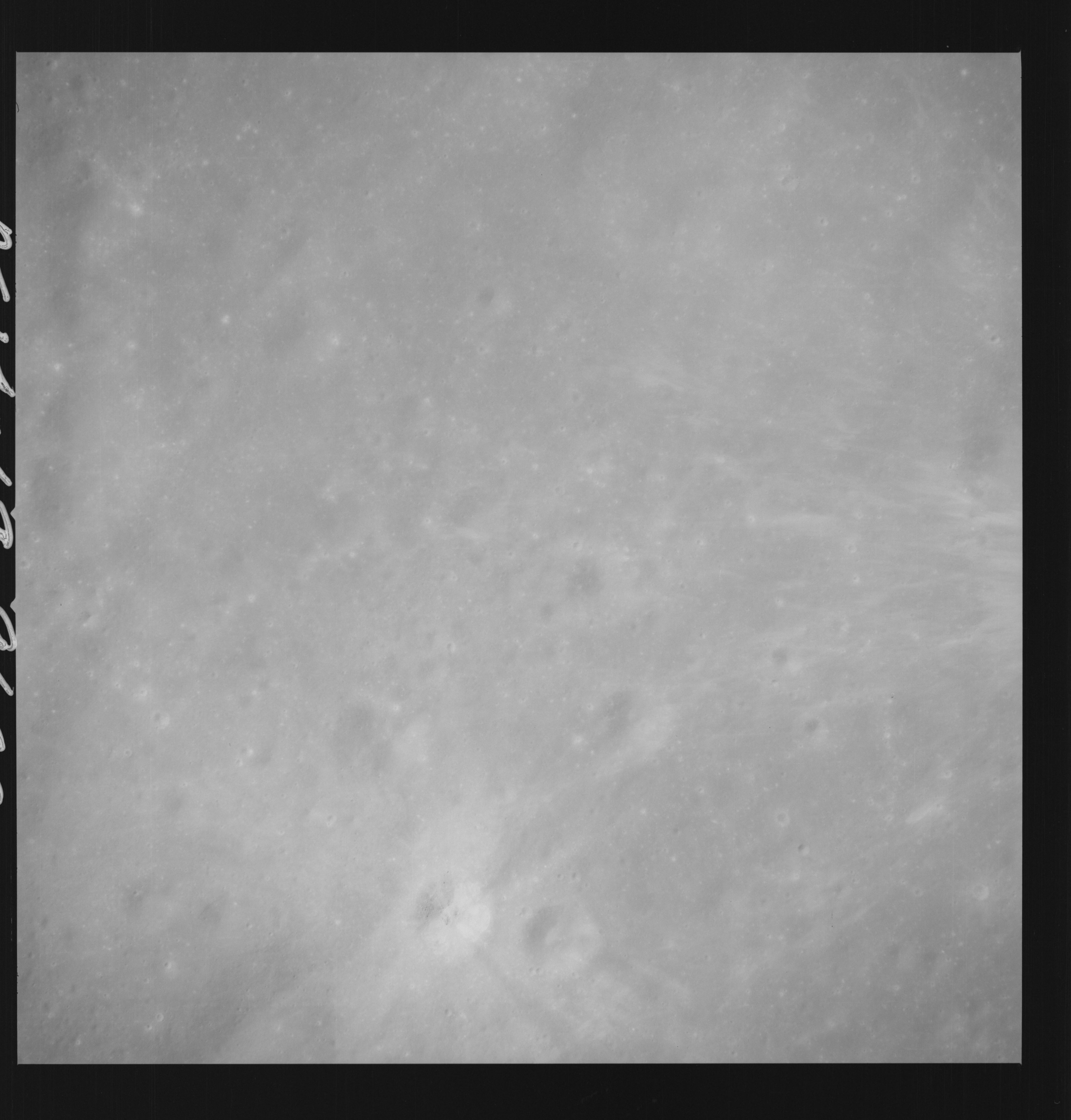 | AS14-69-9600 APOLLO 16 LANDING SITE DESCARTES Location: 9° S, 15.5° E Image credit: National Archives and Records Administration |
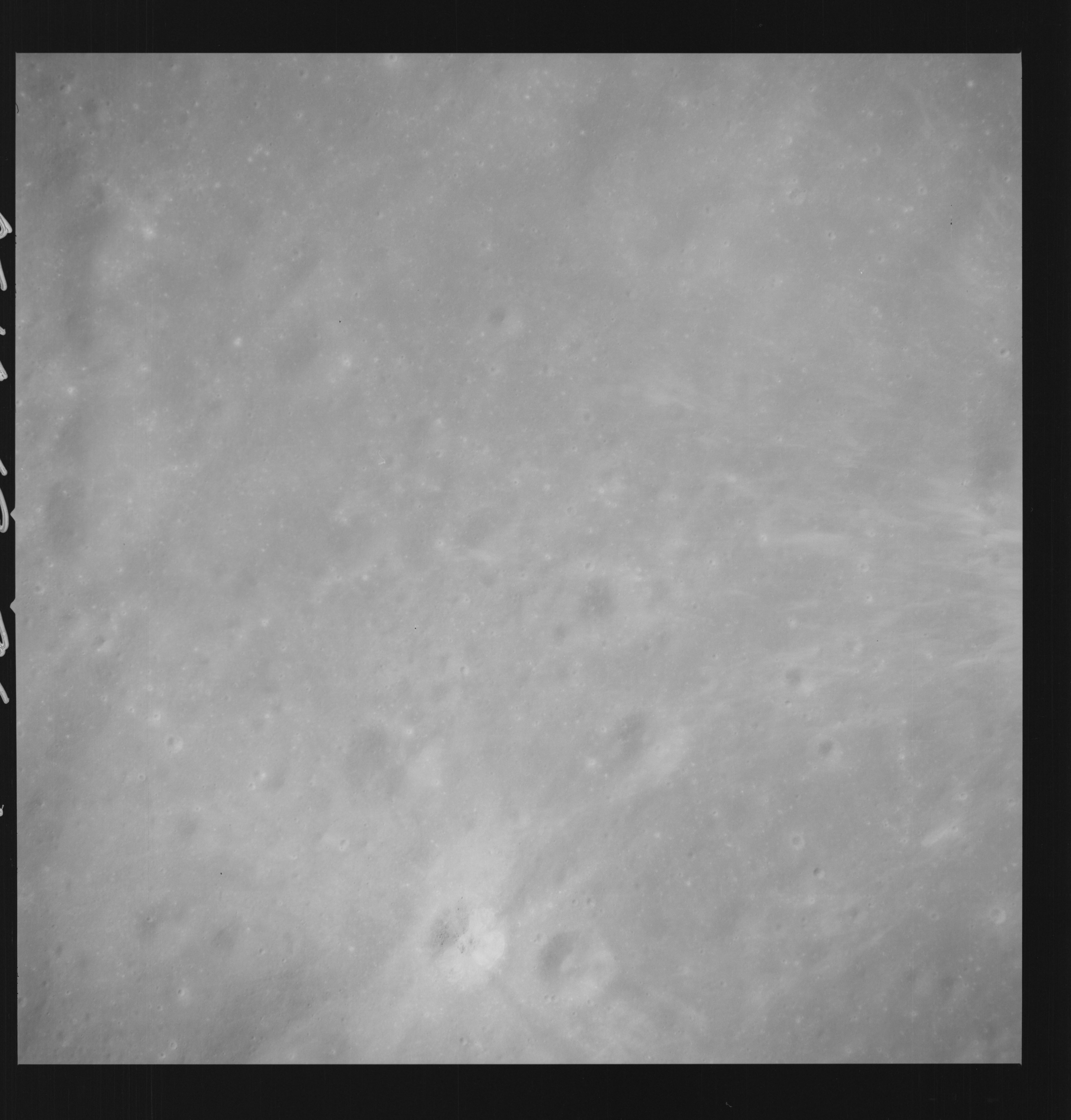 | AS14-69-9601 APOLLO 16 LANDING SITE DESCARTES Location: 9° S, 15.5° E Image credit: National Archives and Records Administration |
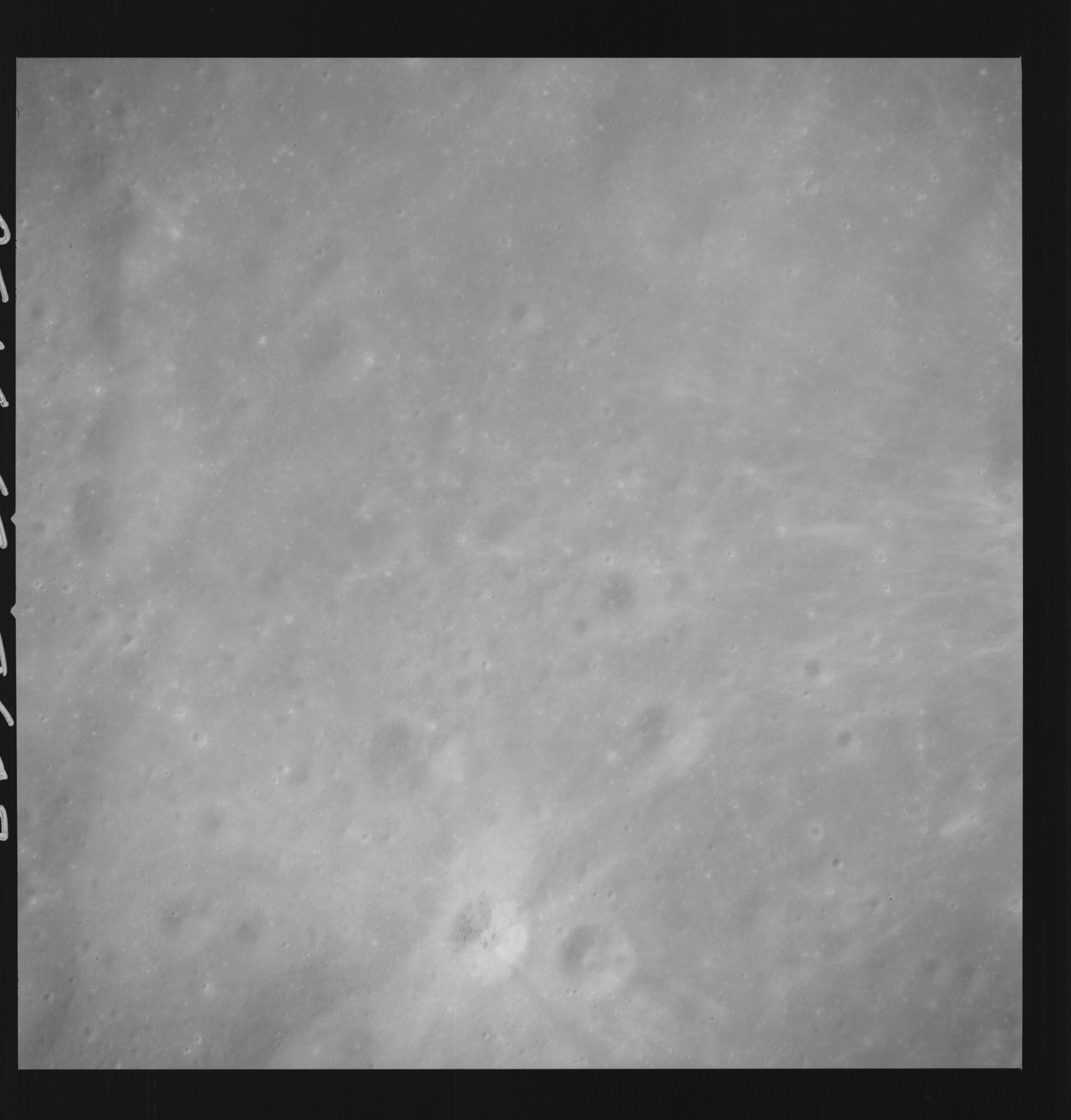 | AS14-69-9602 APOLLO 16 LANDING SITE DESCARTES Location: 9° S, 15.5° E Image credit: National Archives and Records Administration |
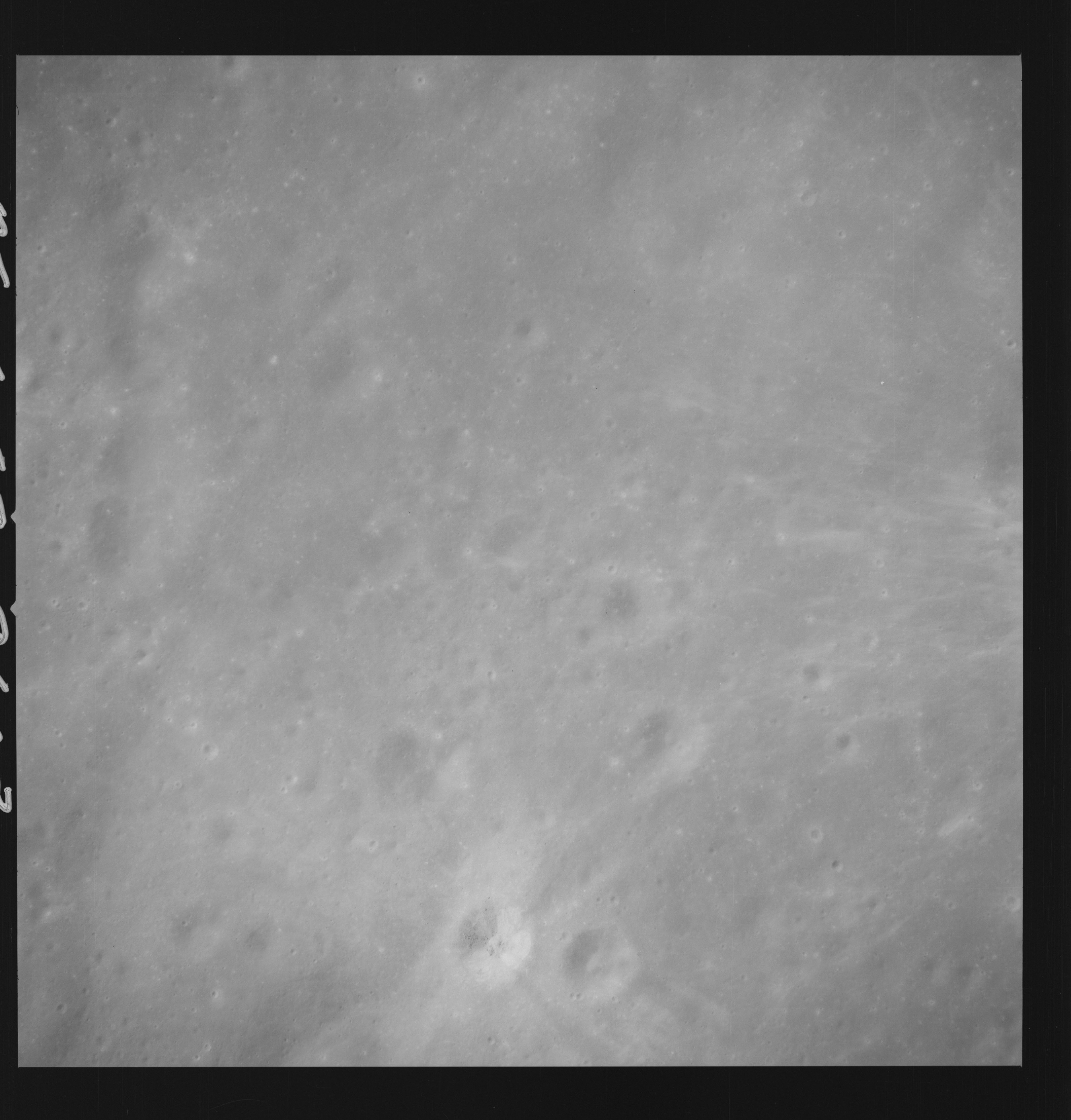 | AS14-69-9603 APOLLO 16 LANDING SITE DESCARTES Location: 9° S, 15.5° E Image credit: National Archives and Records Administration |
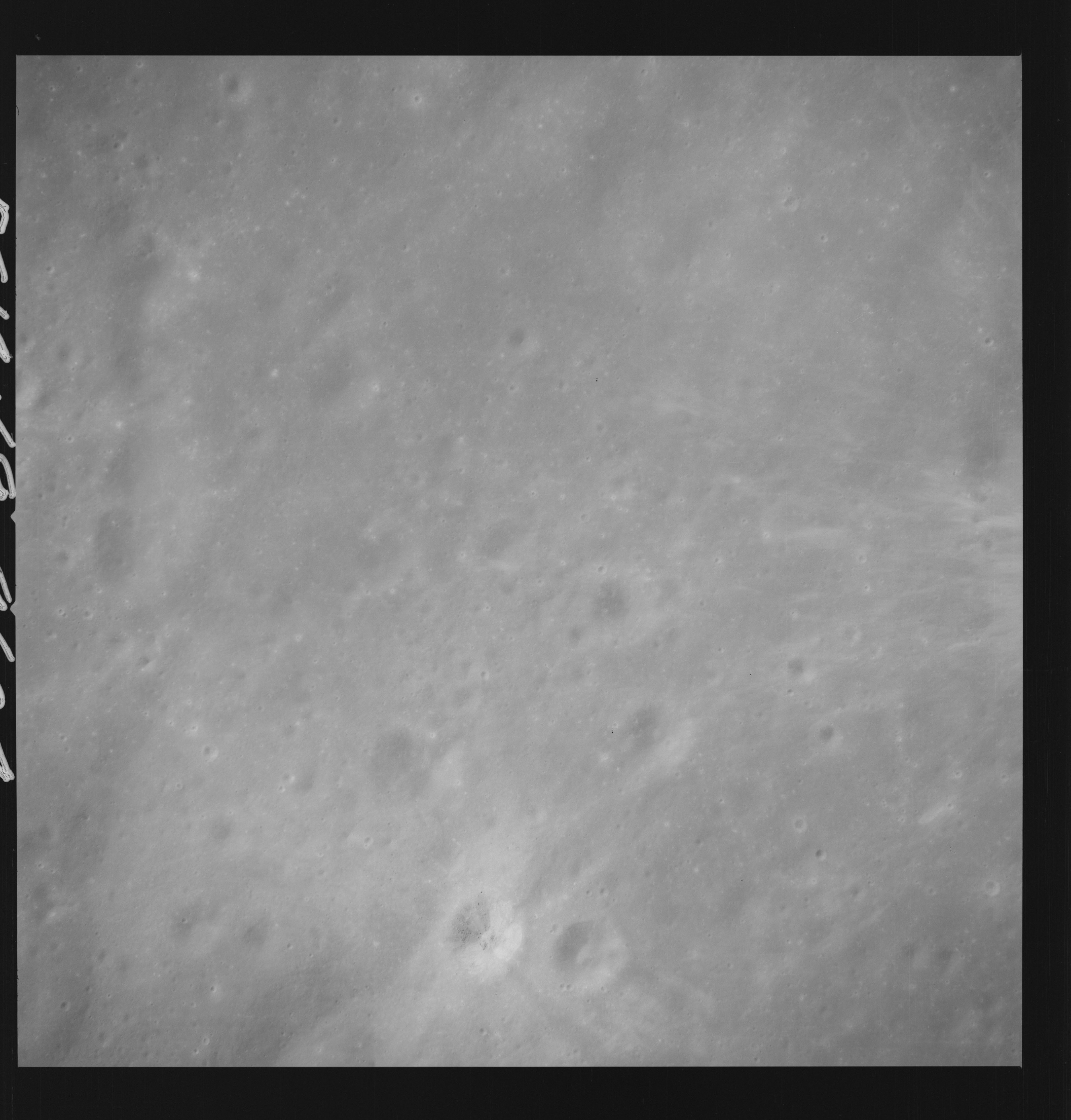 | AS14-69-9604 APOLLO 16 LANDING SITE DESCARTES Location: 9° S, 15.5° E Image credit: National Archives and Records Administration |
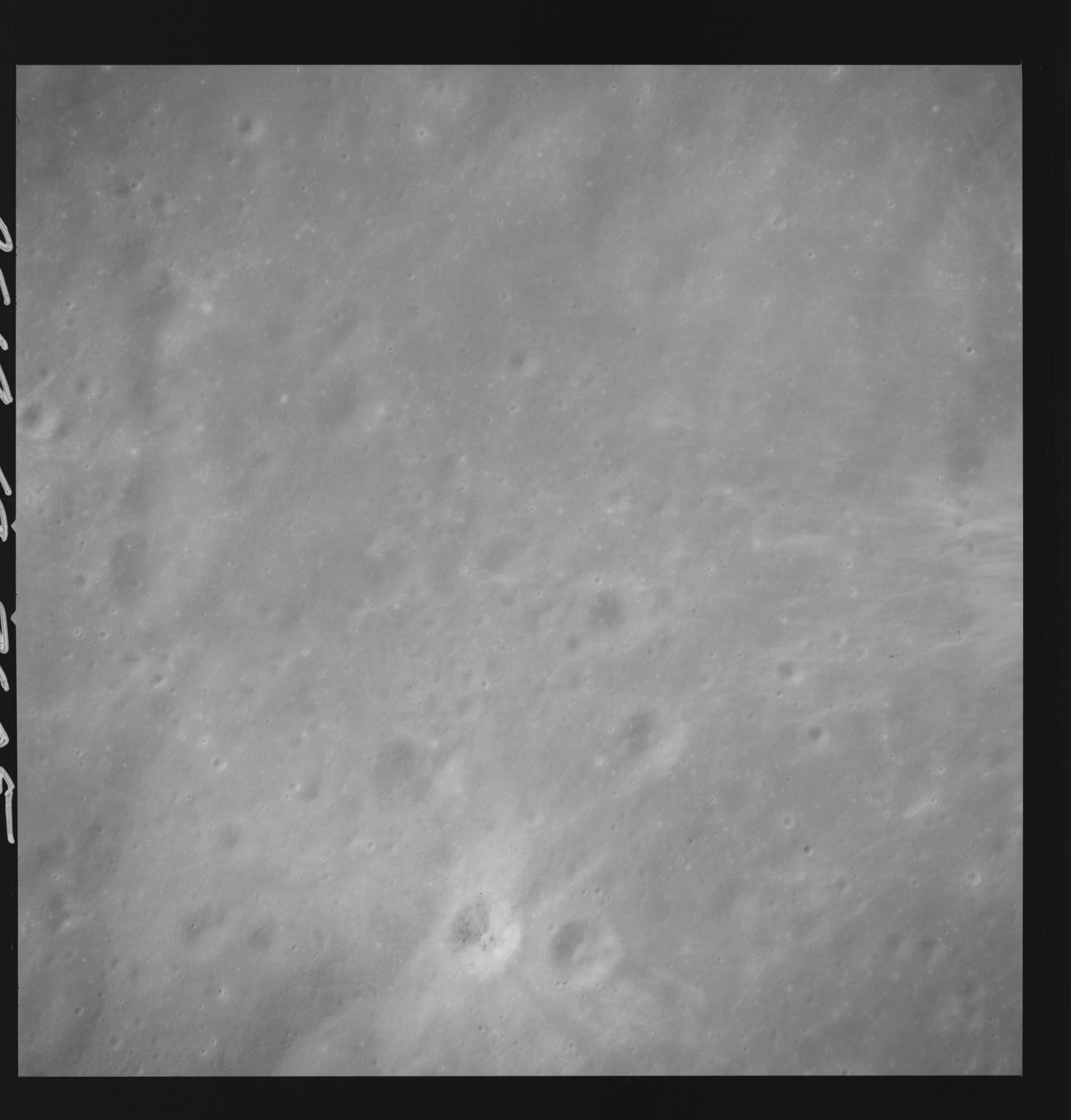 | AS14-69-9605 APOLLO 16 LANDING SITE DESCARTES Location: 9° S, 15.5° E Image credit: National Archives and Records Administration |
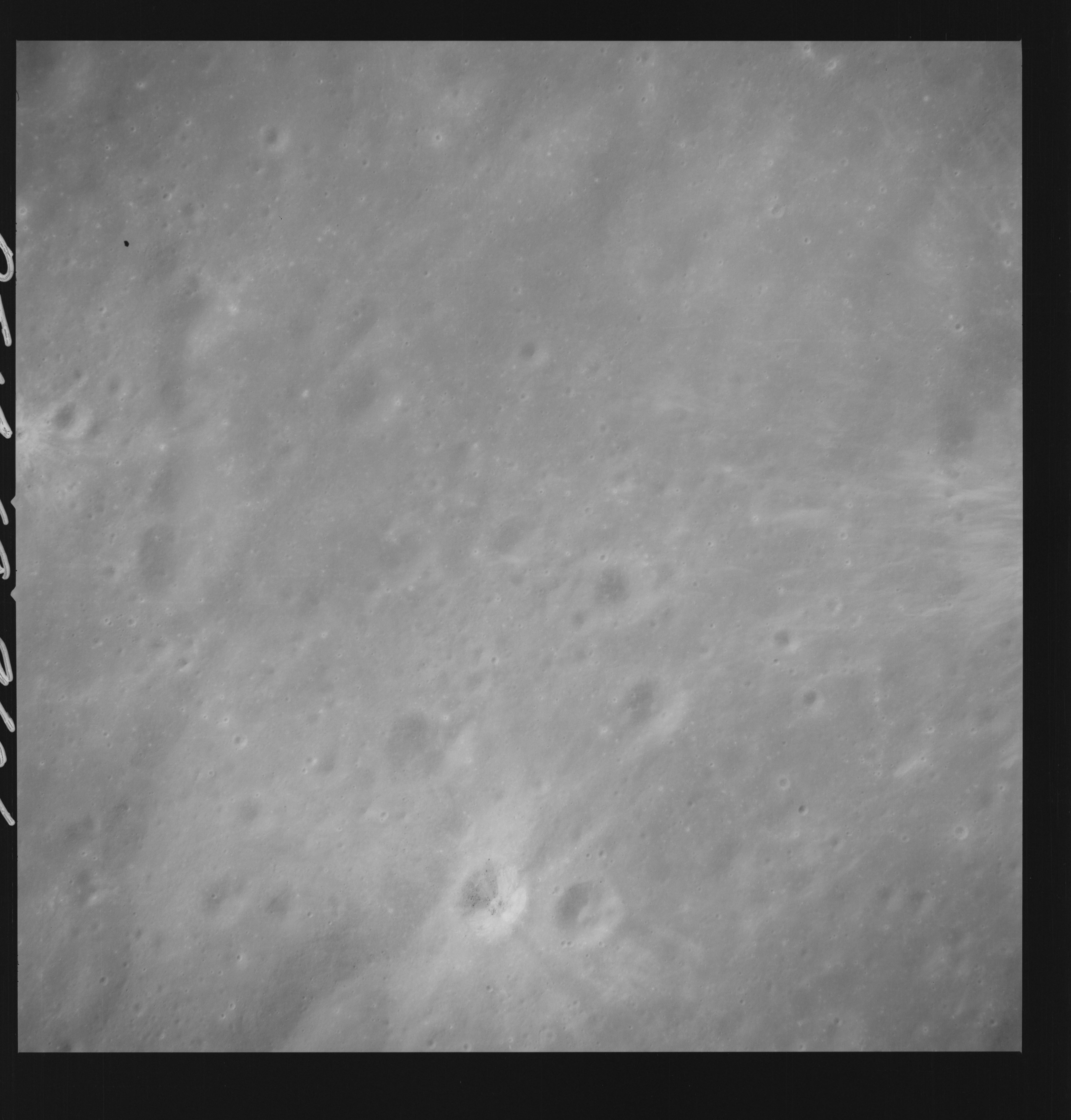 | AS14-69-9606 APOLLO 16 LANDING SITE DESCARTES Location: 9° S, 15.5° E Image credit: National Archives and Records Administration |
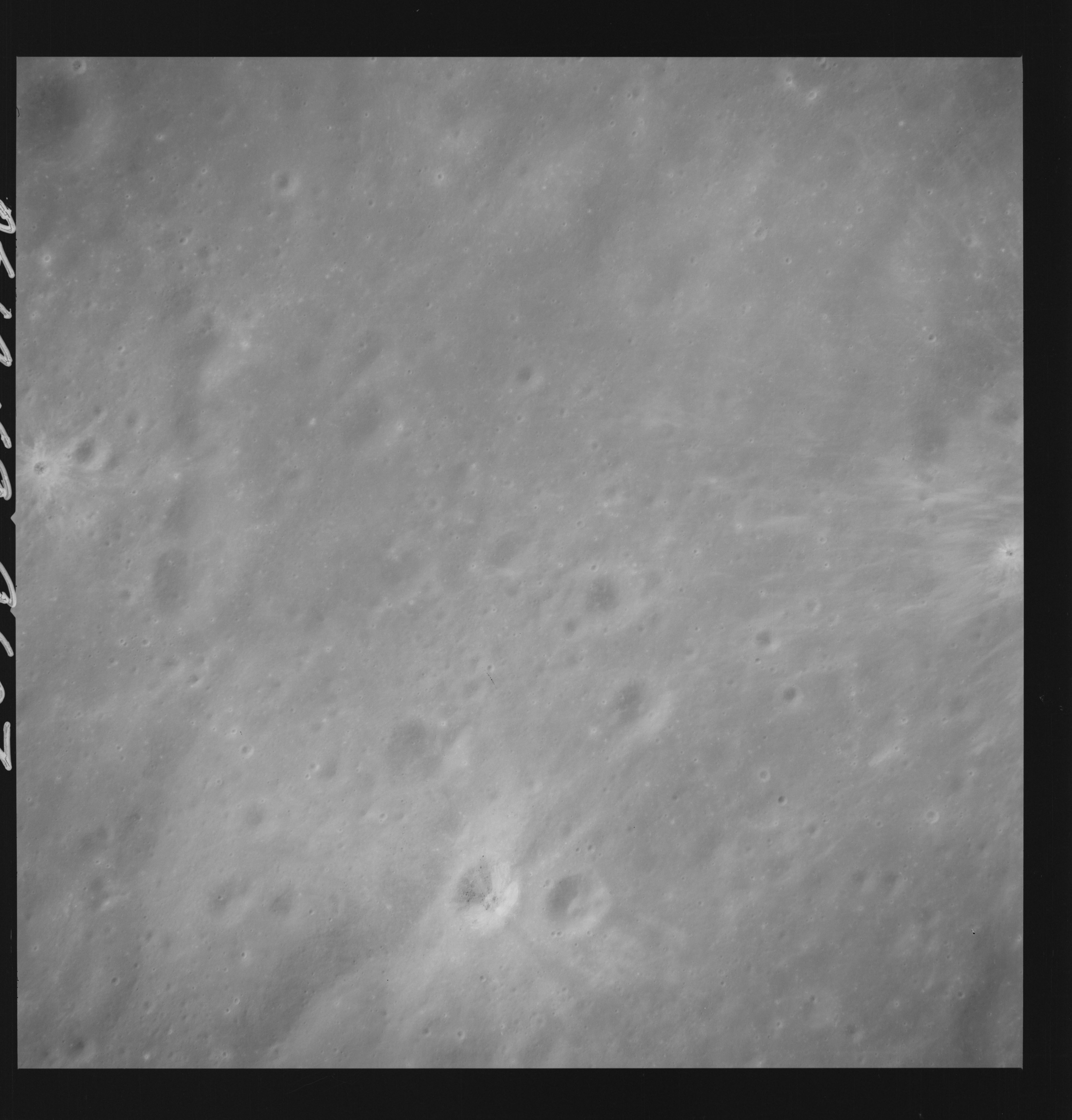 | AS14-69-9607 APOLLO 16 LANDING SITE DESCARTES Location: 9° S, 15.5° E Image credit: National Archives and Records Administration |
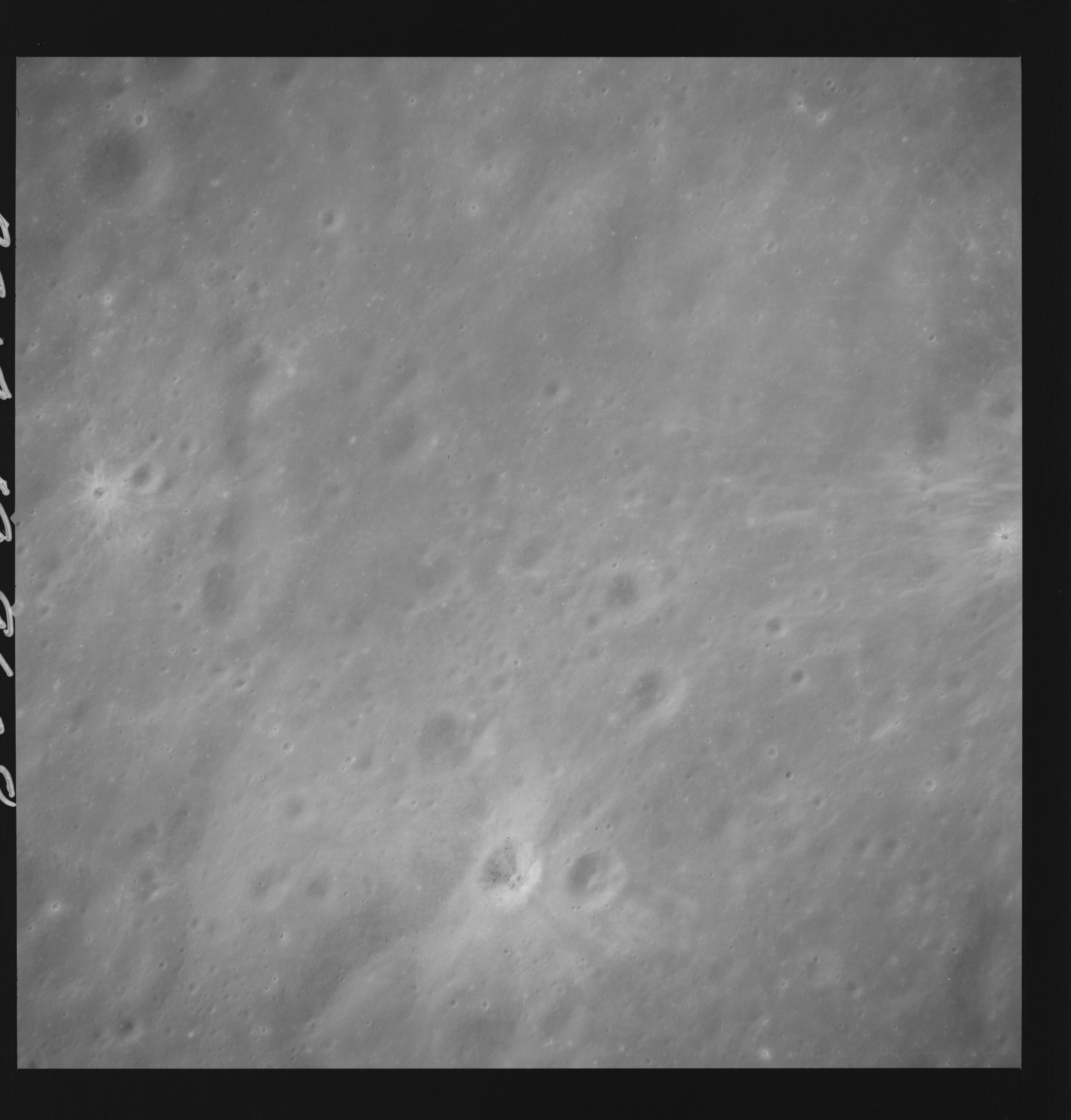 | AS14-69-9608 APOLLO 16 LANDING SITE DESCARTES Location: 9° S, 15.5° E Image credit: National Archives and Records Administration |
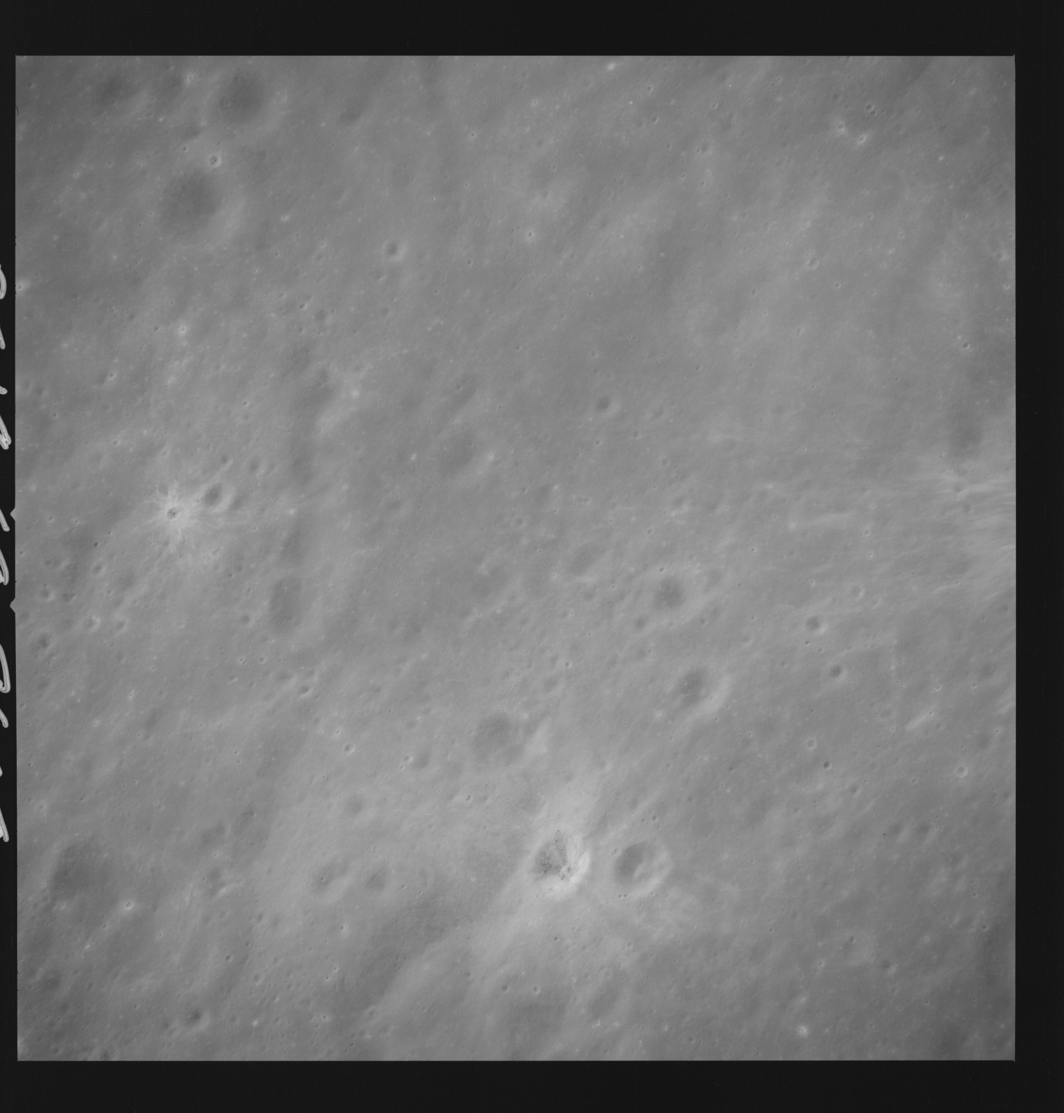 | AS14-69-9609 APOLLO 16 LANDING SITE DESCARTES Location: 9° S, 15.5° E Image credit: National Archives and Records Administration |
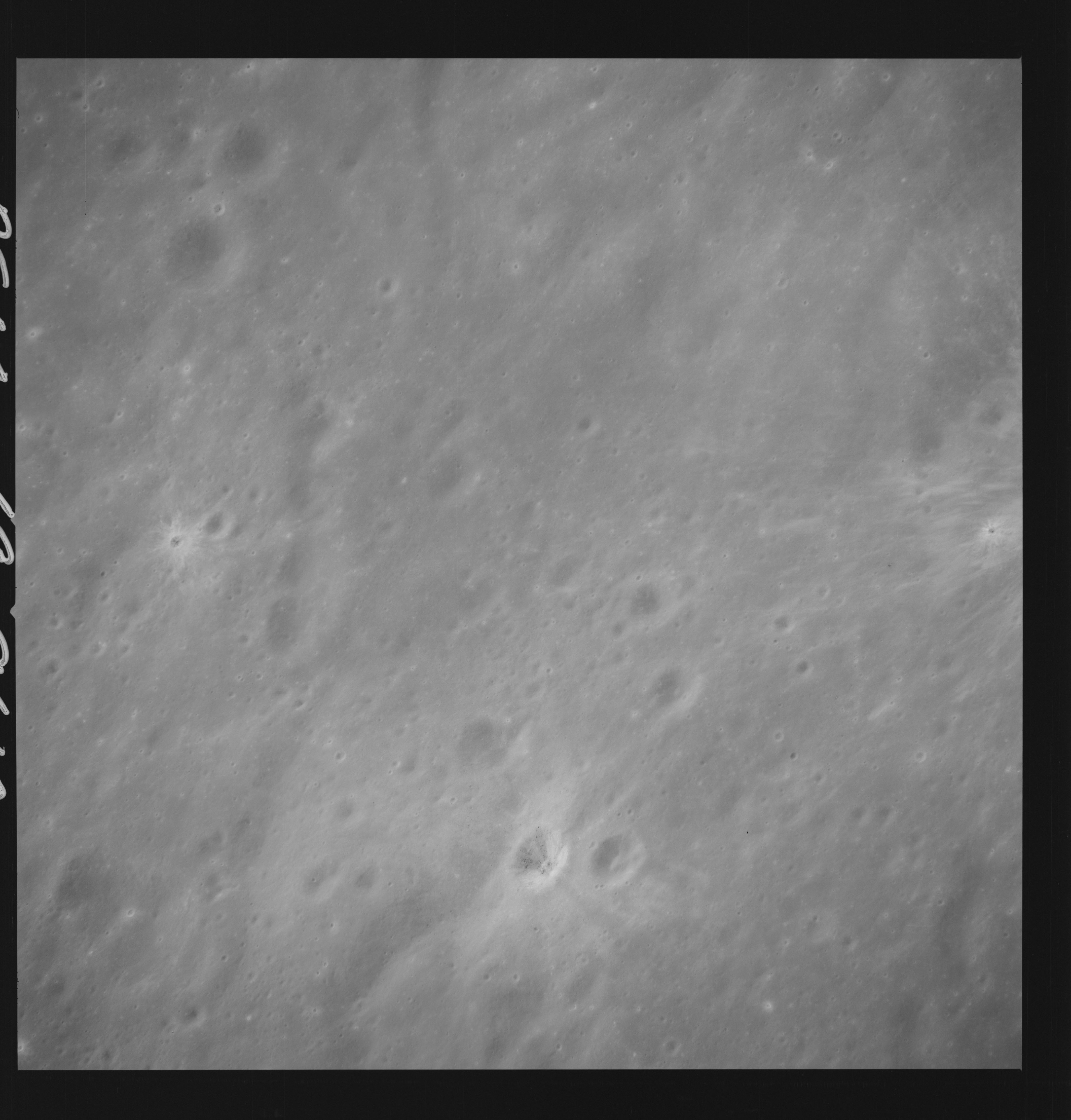 | AS14-69-9610 APOLLO 16 LANDING SITE DESCARTES Location: 9° S, 15.5° E Image credit: National Archives and Records Administration |
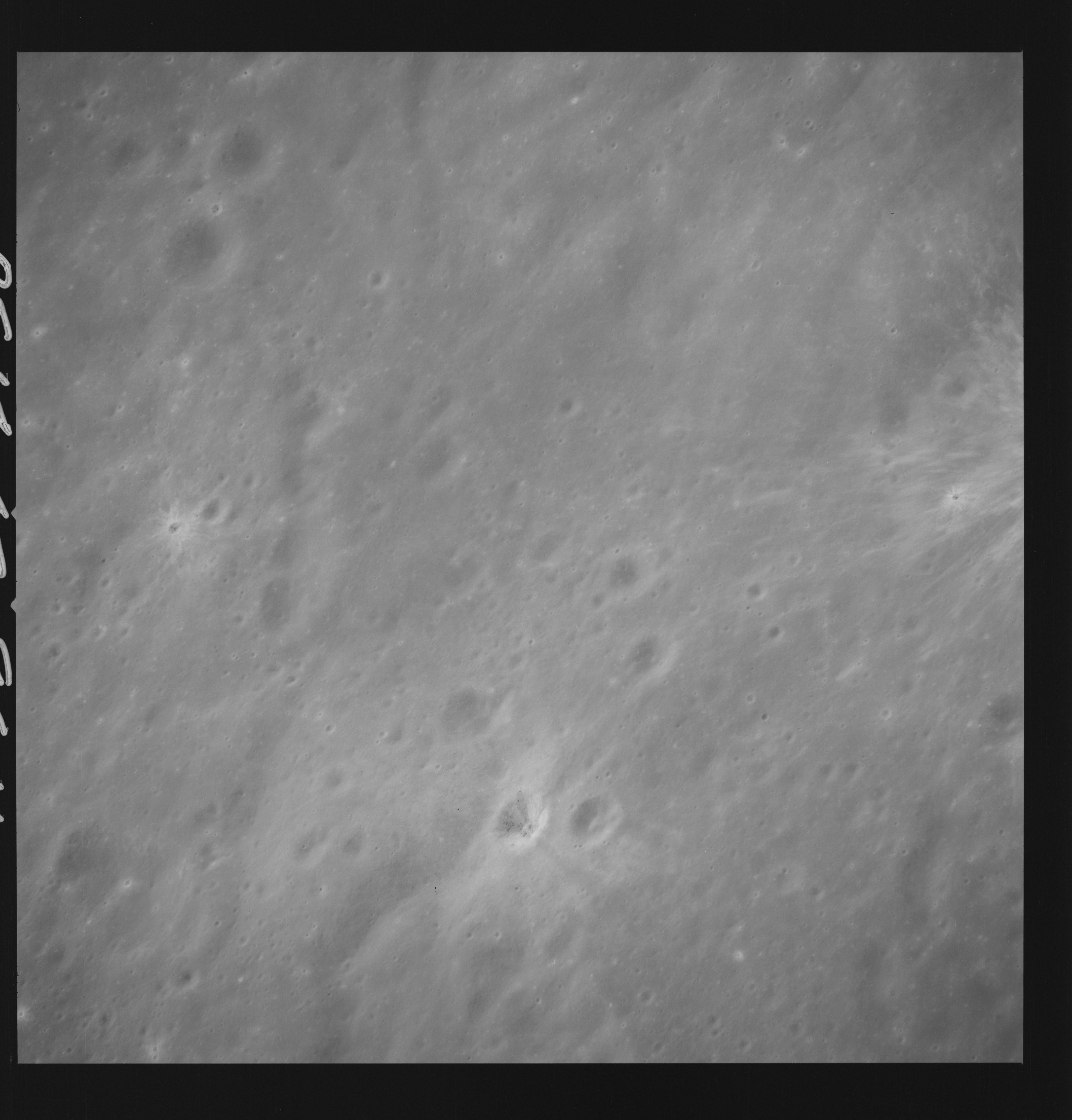 | AS14-69-9611 APOLLO 16 LANDING SITE DESCARTES Location: 9° S, 15.5° E Image credit: National Archives and Records Administration |
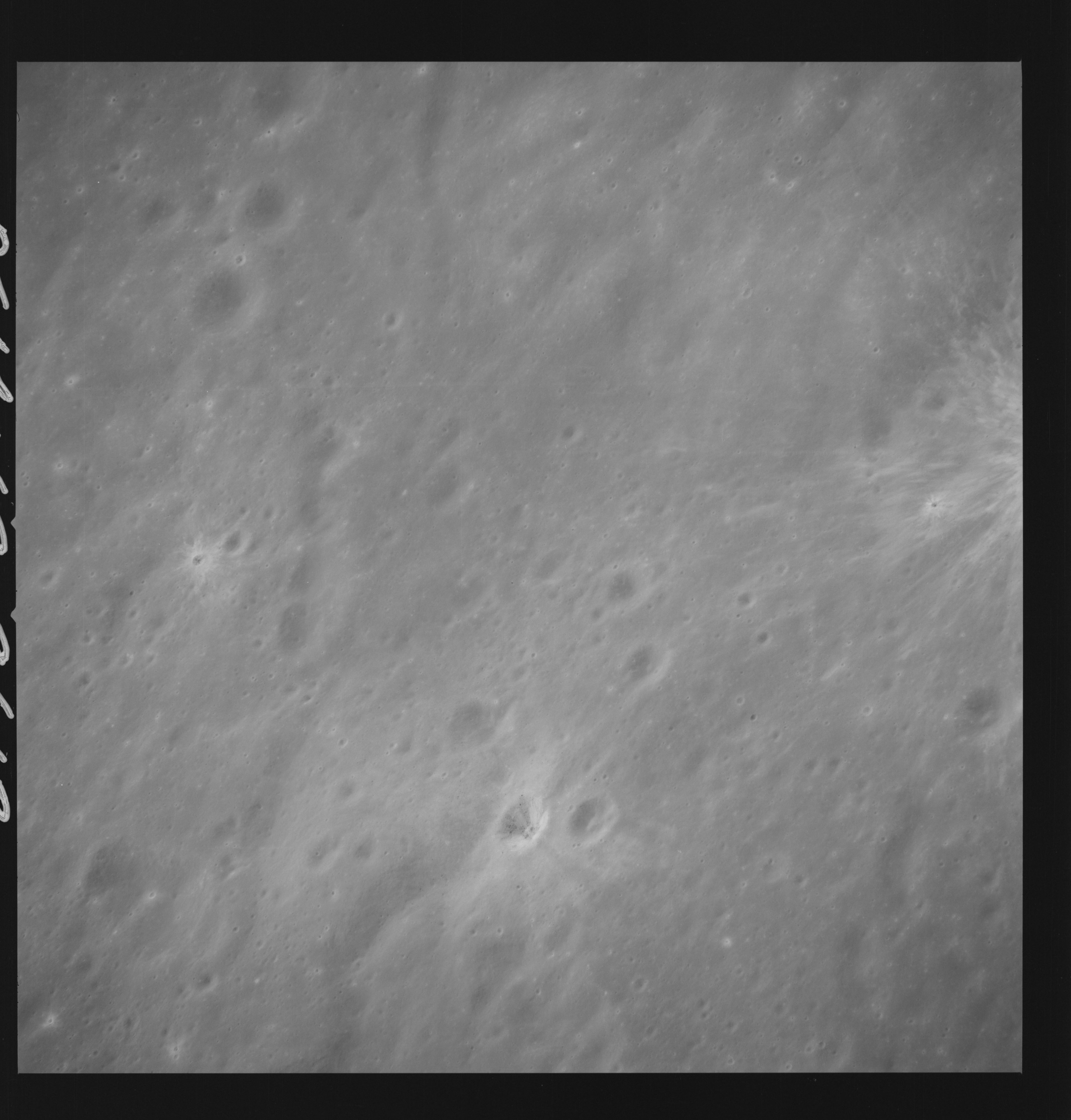 | AS14-69-9612 Good shot of North Ray Crater below center. Location: 9° S, 15.5° E Image credit: National Archives and Records Administration |
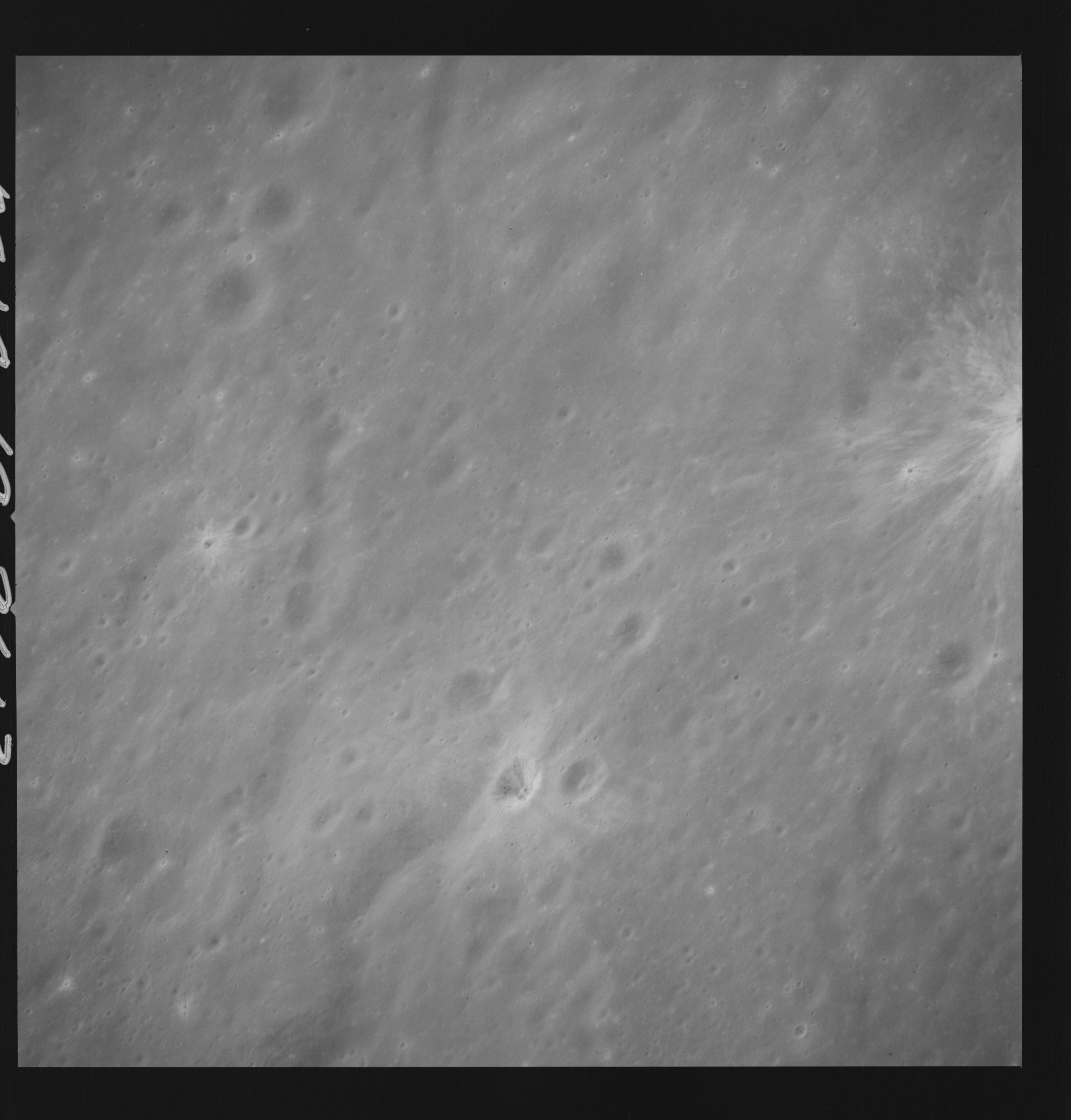 | AS14-69-9613 APOLLO 16 LANDING SITE DESCARTES Location: 9° S, 15.5° E Image credit: National Archives and Records Administration |
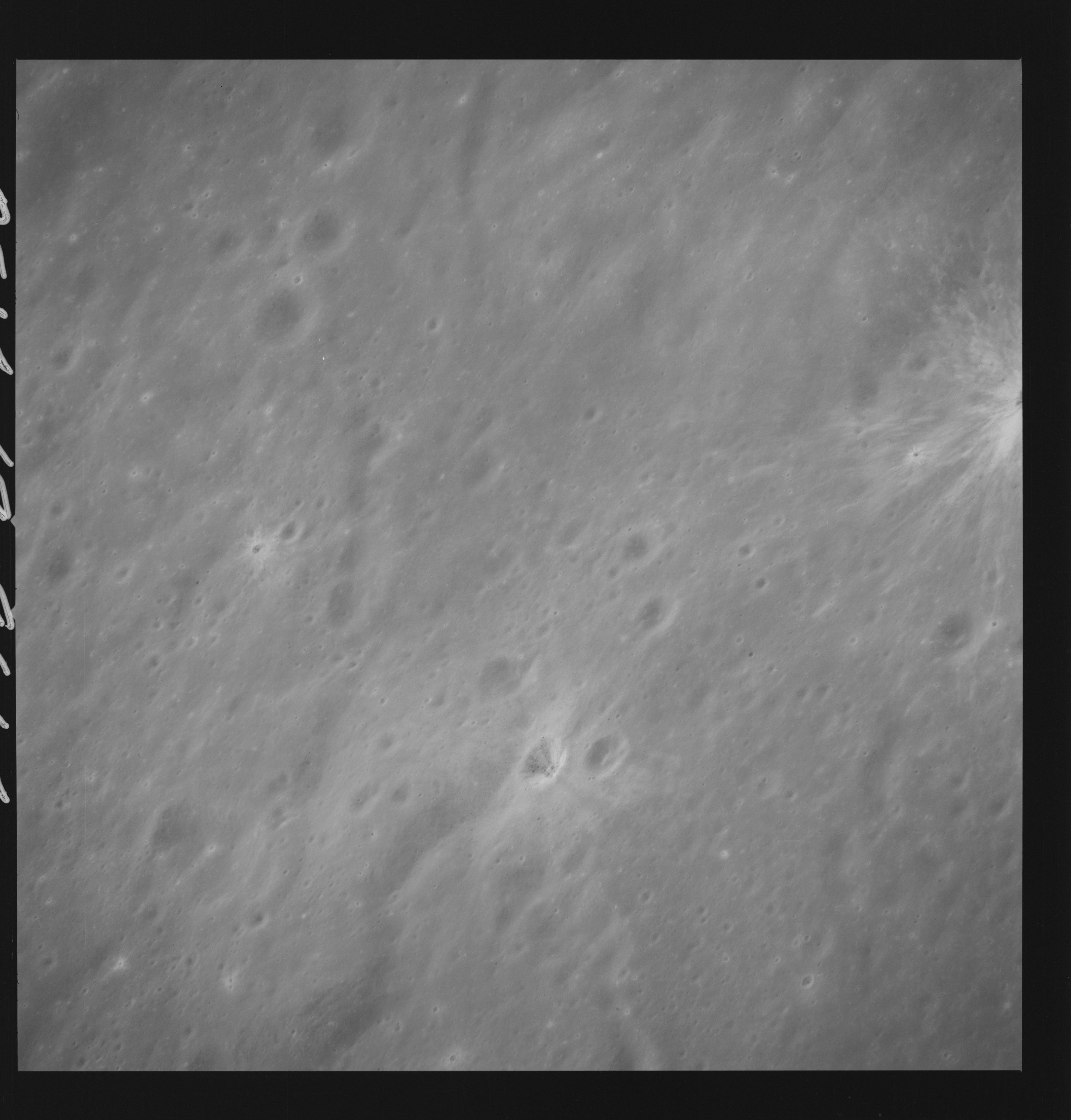 | AS14-69-9614 APOLLO 16 LANDING SITE DESCARTES Location: 9° S, 15.5° E Image credit: National Archives and Records Administration |
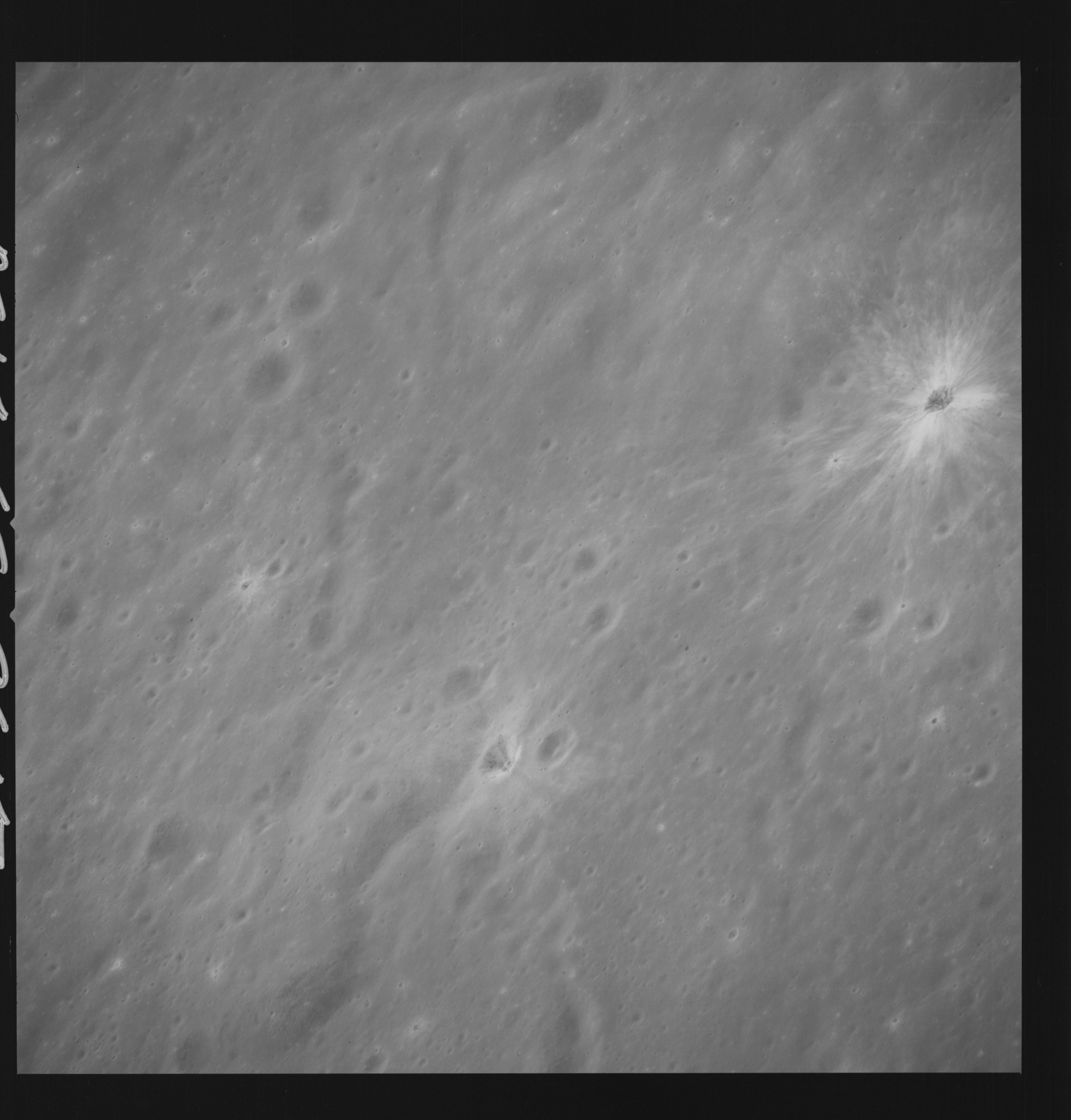 | AS14-69-9615 APOLLO 16 LANDING SITE DESCARTES Location: 9° S, 15.5° E Image credit: National Archives and Records Administration |
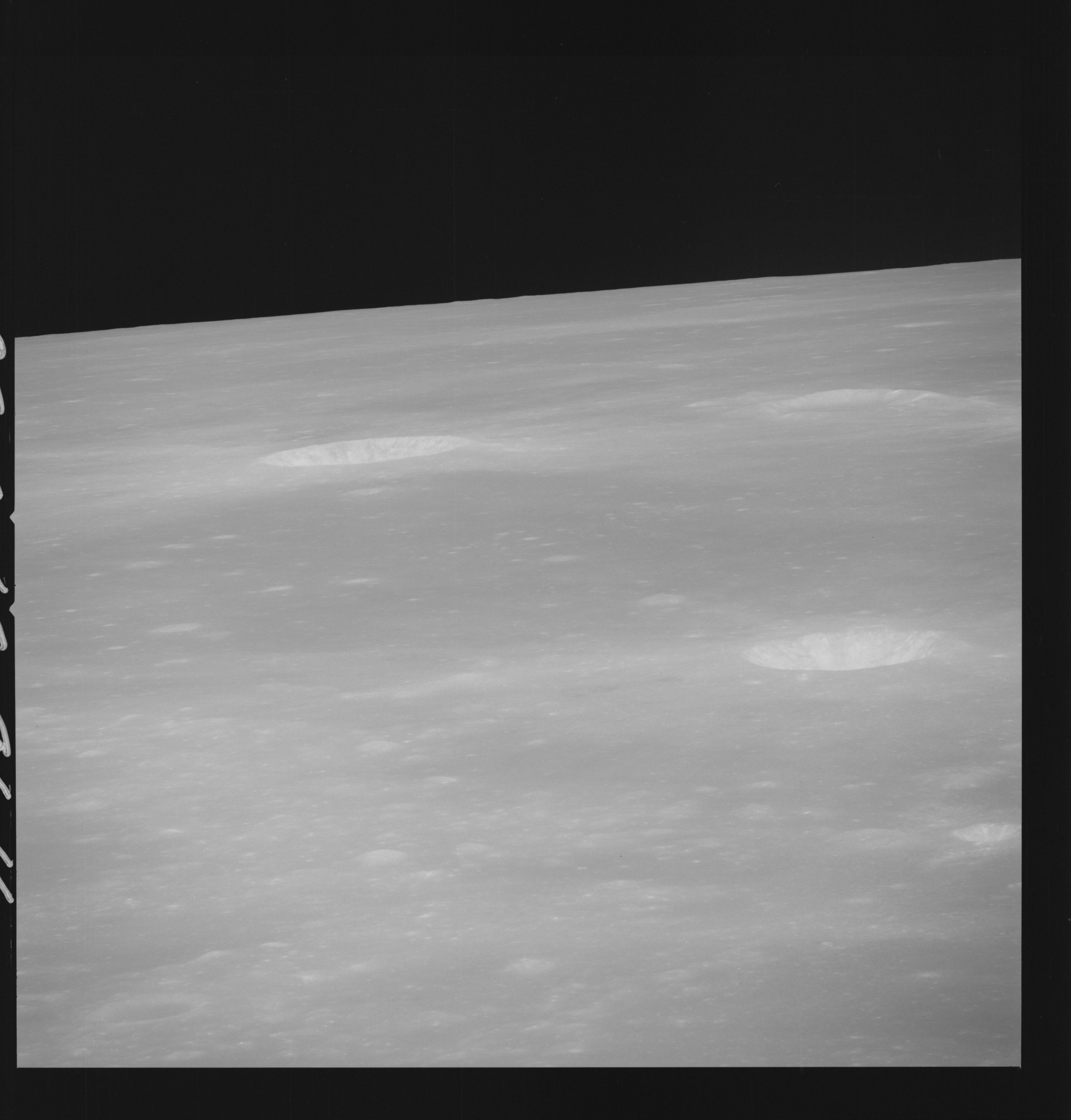 | AS14-69-9616 LANSBERG B LANSBERG D Location: 2.5° S, 29.5° W Image credit: National Archives and Records Administration |
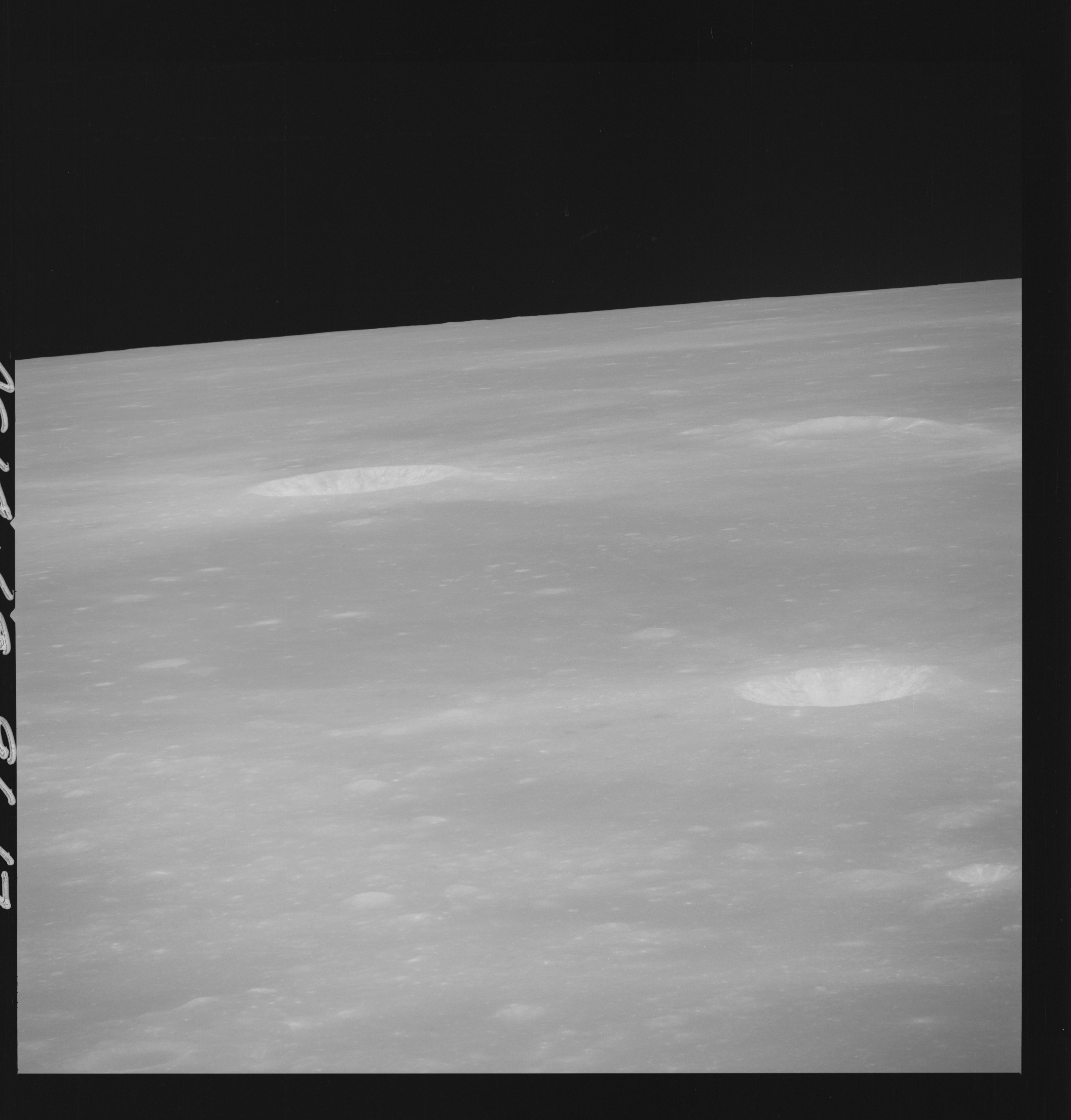 | AS14-69-9617 LANSBERG B LANSBERG D Location: 2.5° S, 29.5° W Image credit: National Archives and Records Administration |
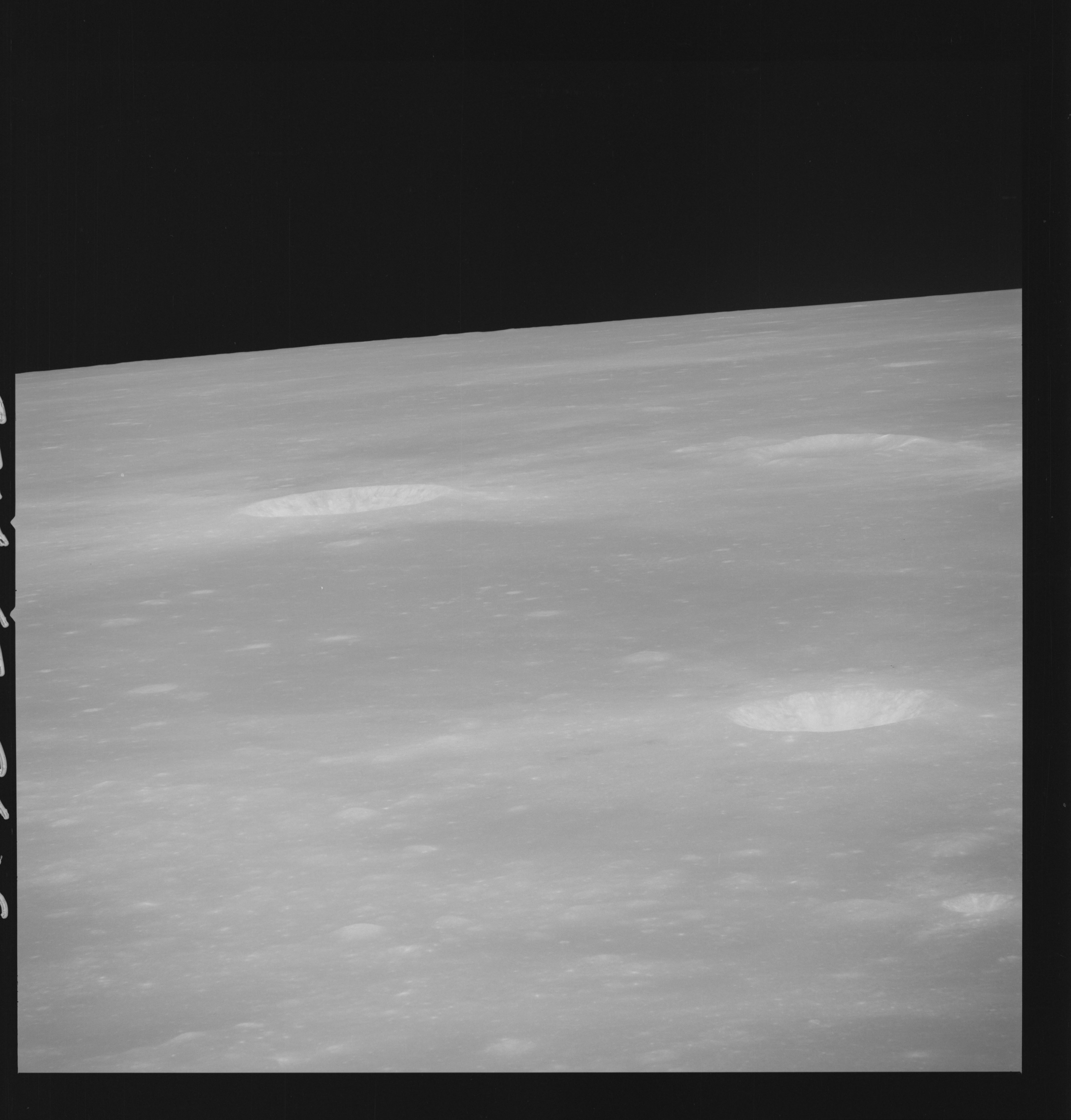 | AS14-69-9618 LANSBERG B LANSBERG D Location: 2.5° S, 29.5° W Image credit: National Archives and Records Administration |
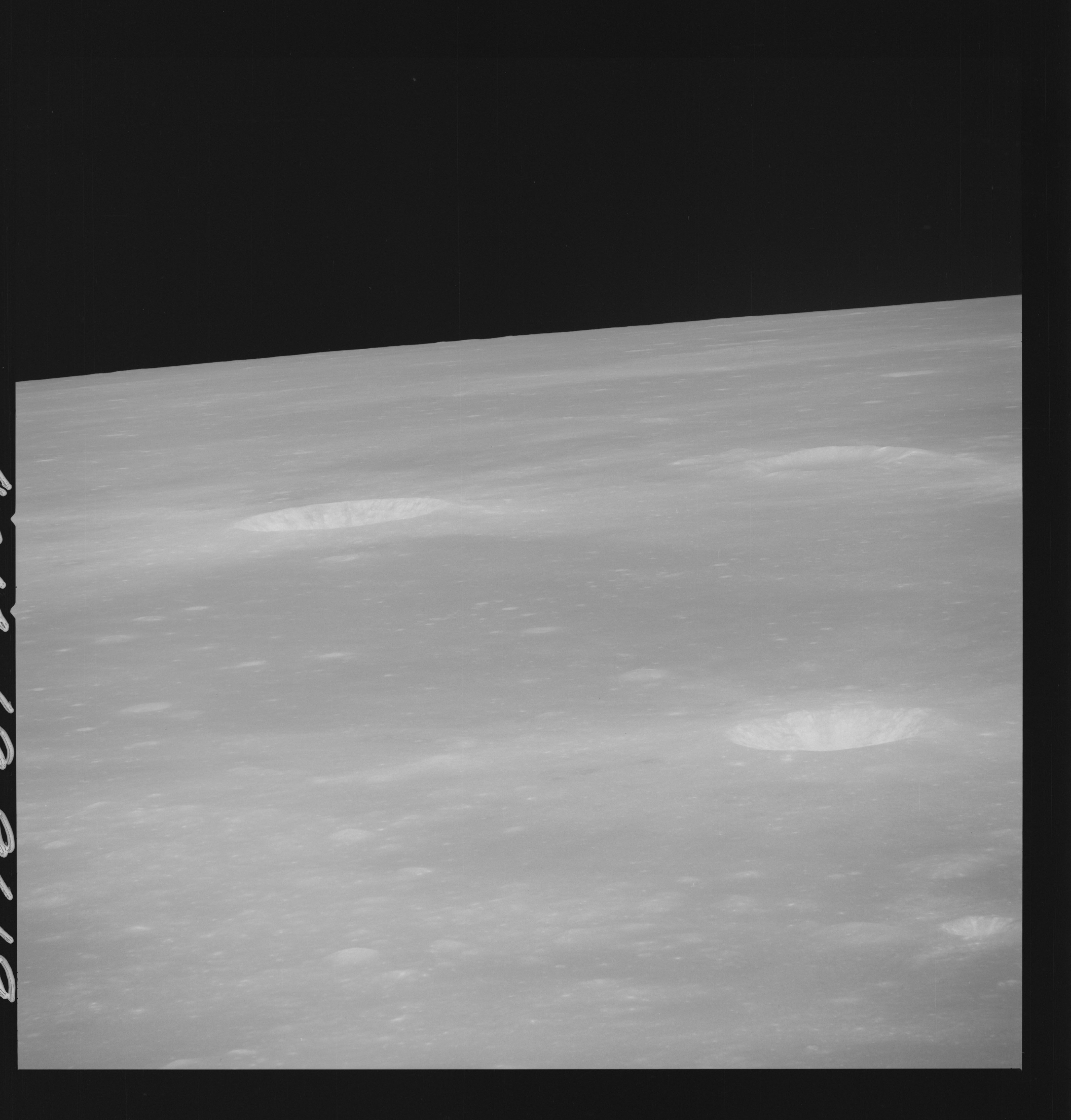 | AS14-69-9619 LANSBERG B LANSBERG D Location: 2.5° S, 29.5° W Image credit: National Archives and Records Administration |
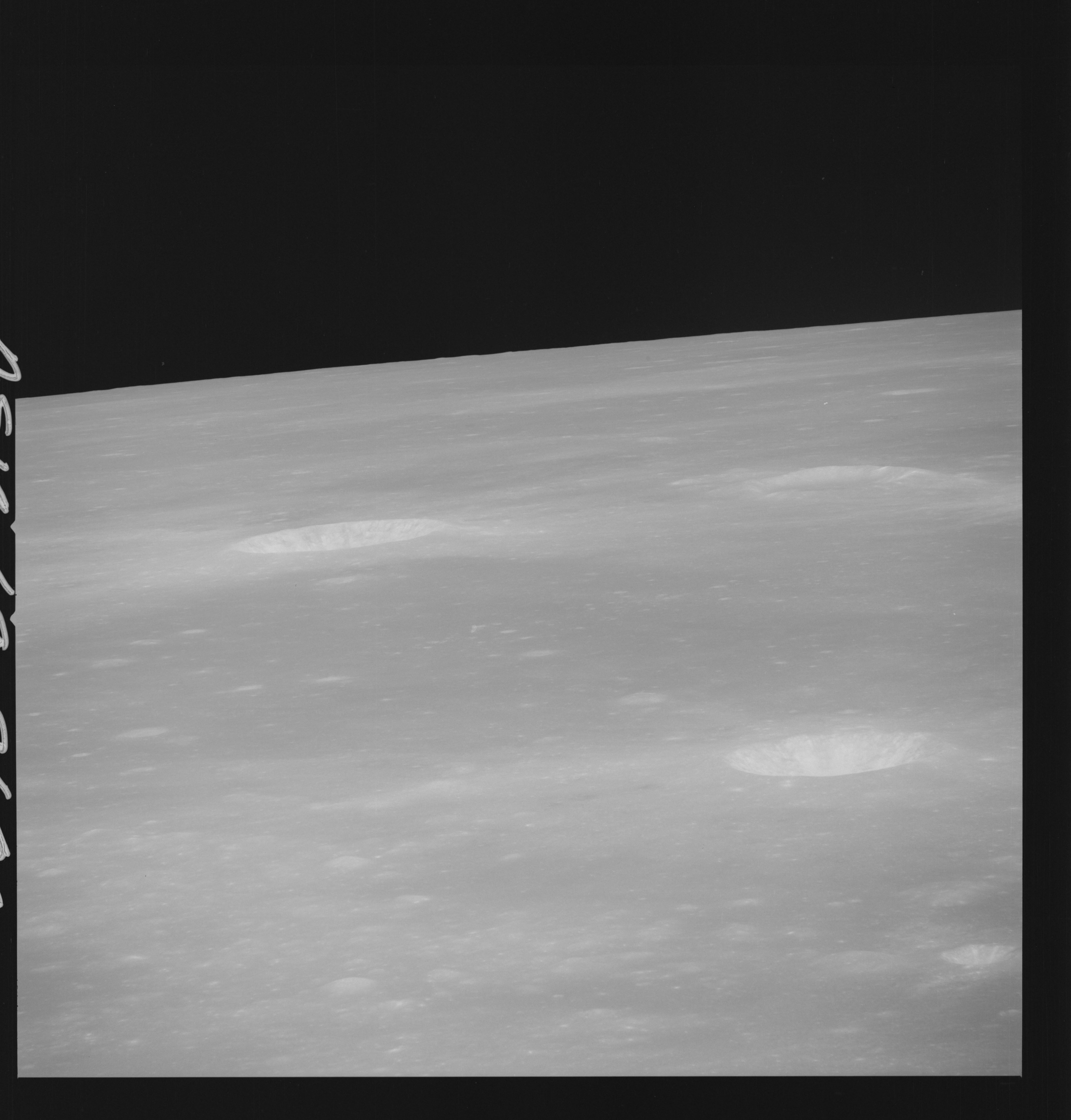 | AS14-69-9620 LANSBERG B LANSBERG D Location: 2.5° S, 29.5° W Image credit: National Archives and Records Administration |
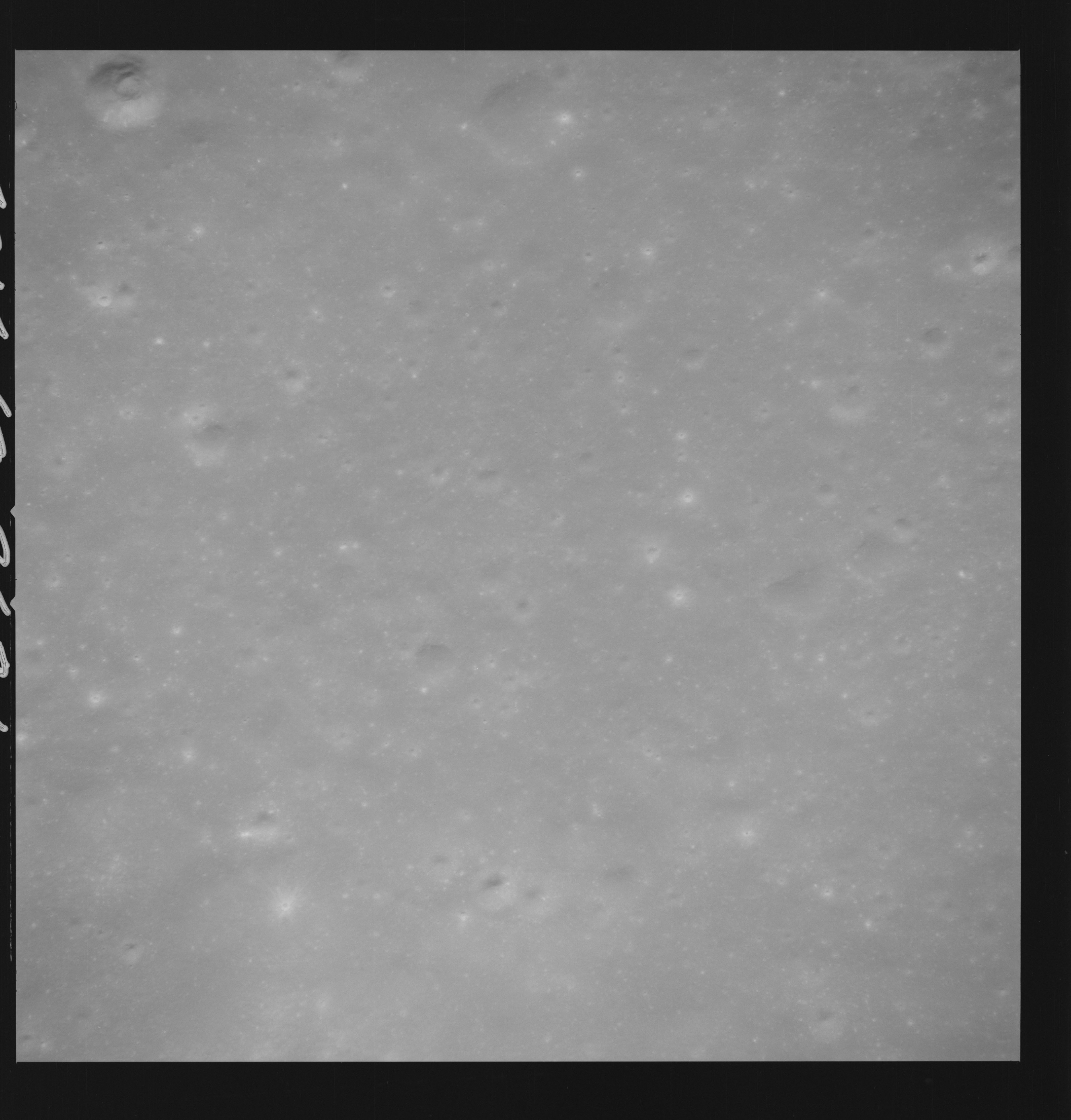 | AS14-69-9621 FRA MAURO HIGHLANDS Image credit: National Archives and Records Administration |
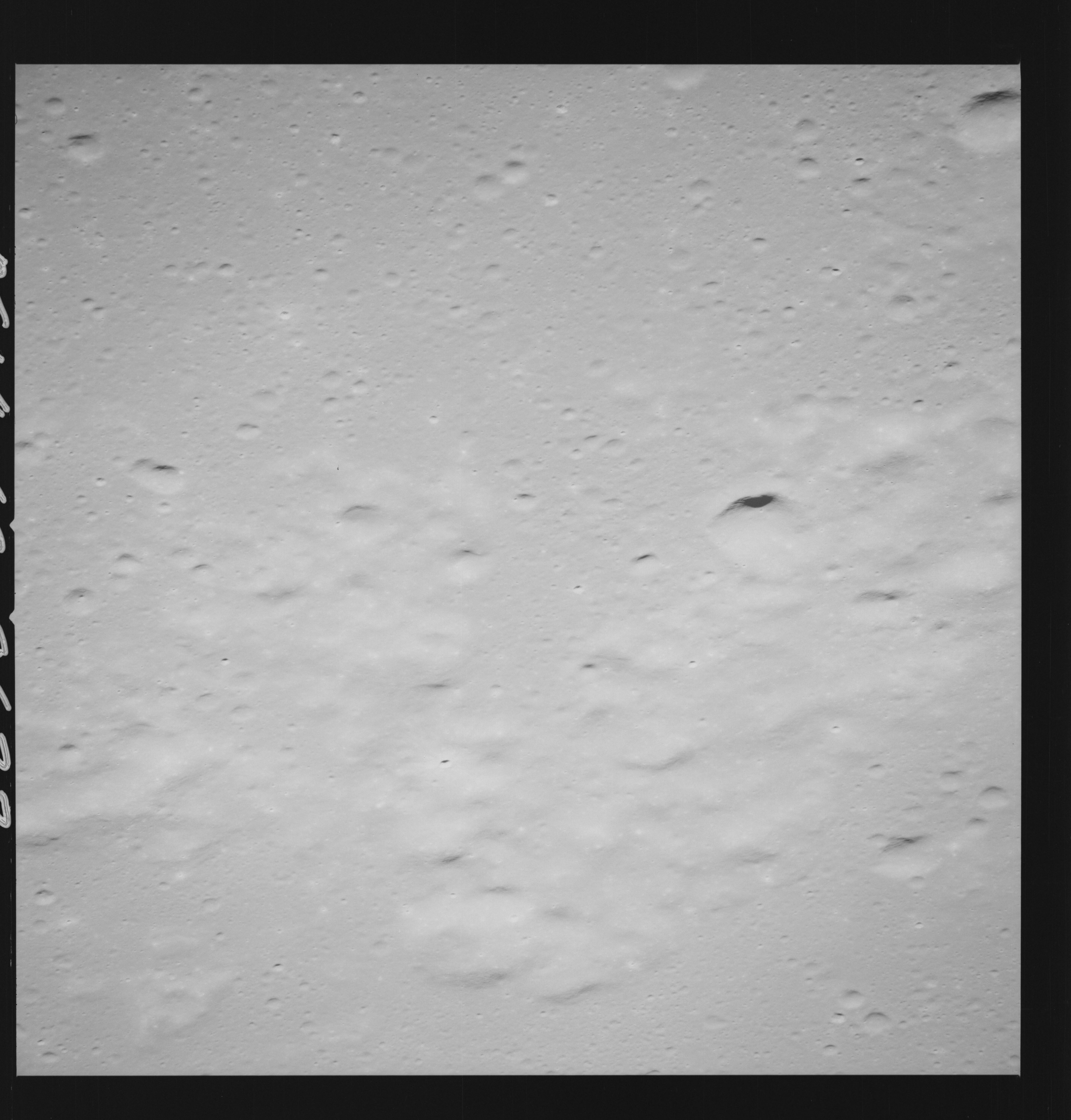 | AS14-69-9622 LANSBERG, SOUTH OF Location: 3.5° S, 25° W Image credit: National Archives and Records Administration |
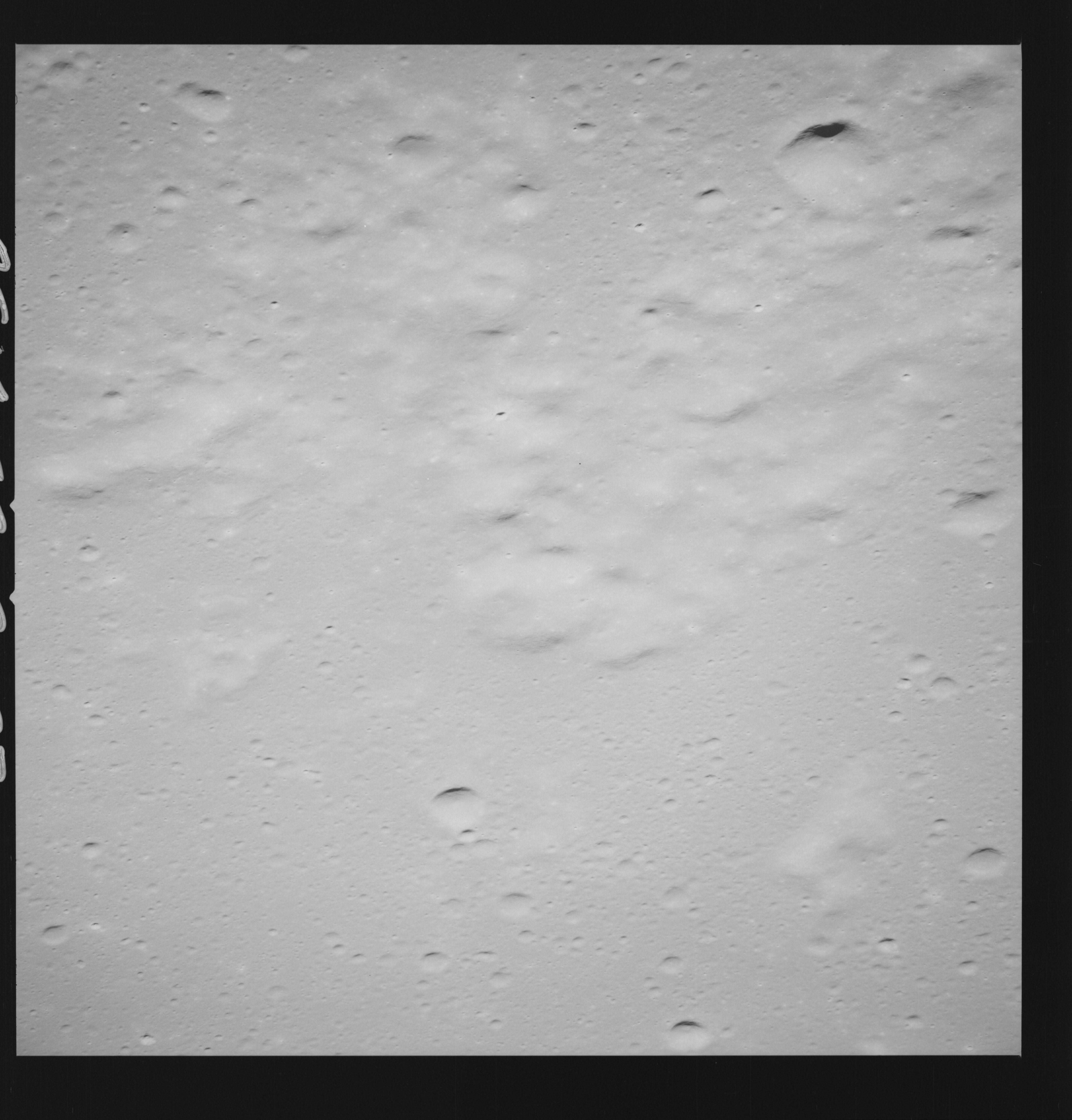 | AS14-69-9623 LANSBERG, SOUTH OF Location: 3.5° S, 25° W Image credit: National Archives and Records Administration |
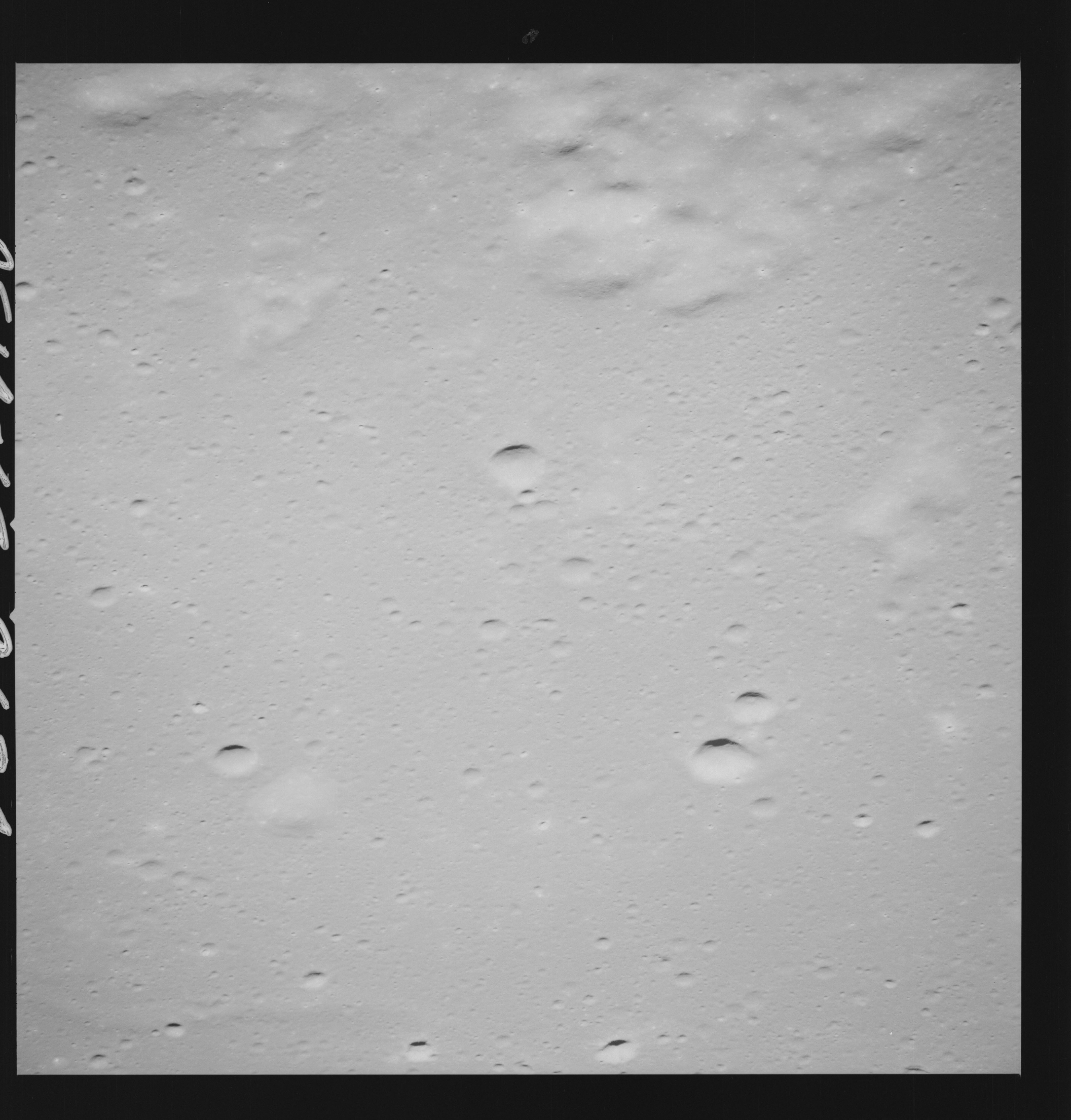 | AS14-69-9624 LANSBERG, SOUTH OF Location: 3° S, 26.5° W Image credit: National Archives and Records Administration |
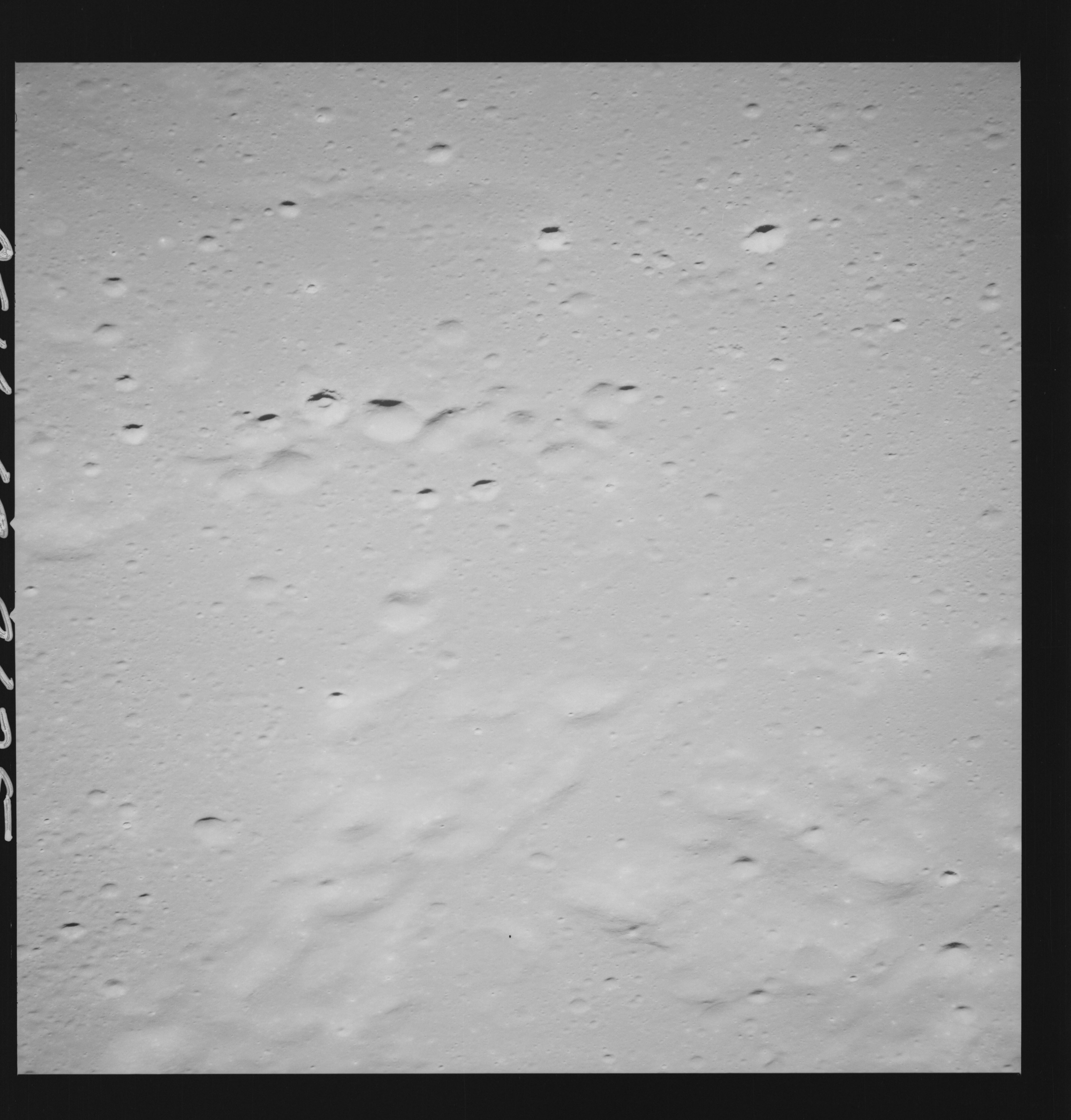 | AS14-69-9625 LANSBERG, SOUTH OF Location: 3° S, 27° W Image credit: National Archives and Records Administration |
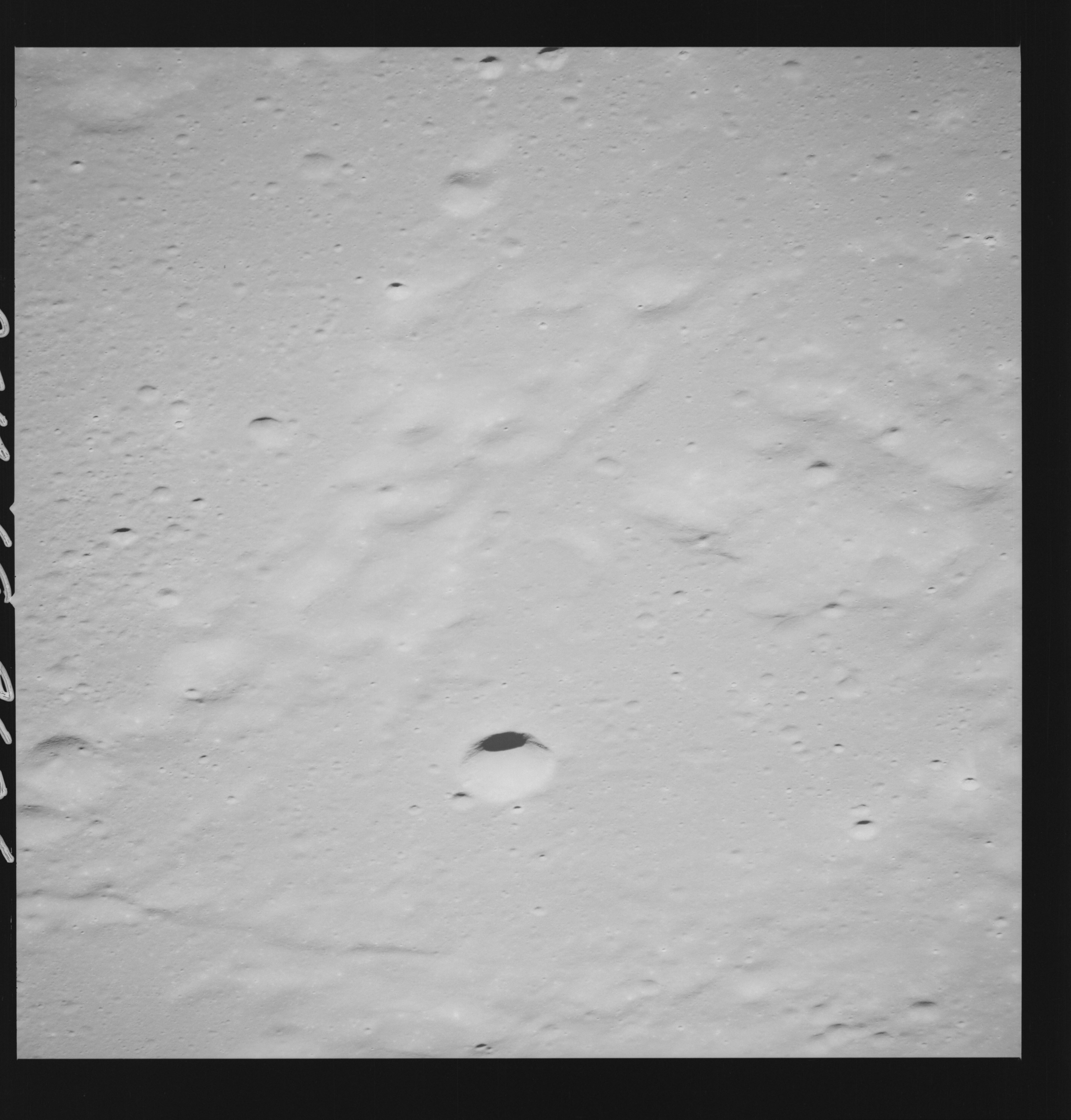 | AS14-69-9626 LANSBERG, SOUTH OF Location: 3° S, 27.5° W Image credit: National Archives and Records Administration |
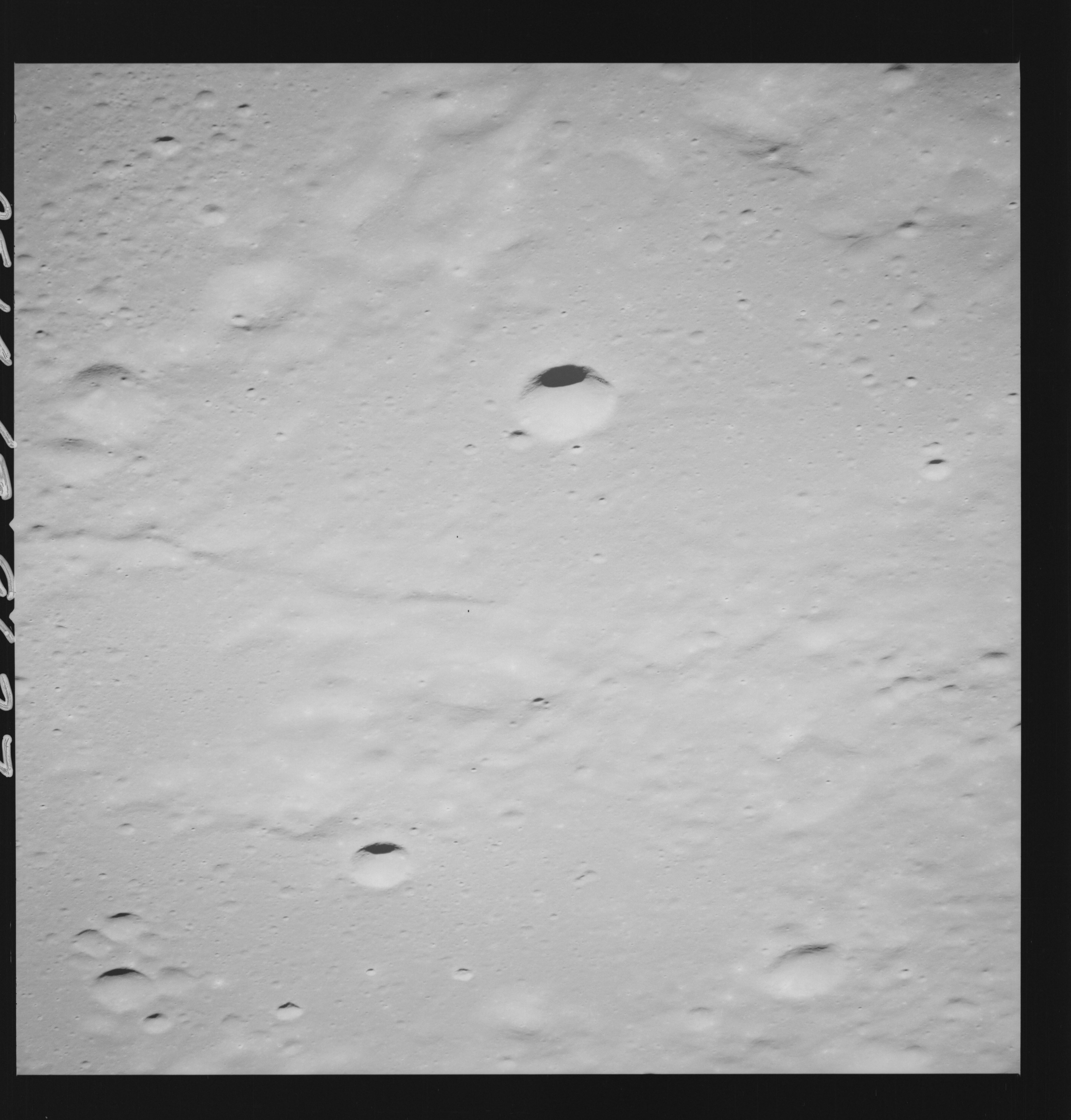 | AS14-69-9627 LANSBERG, SOUTH OF Location: 3° S, 28° W Image credit: National Archives and Records Administration |
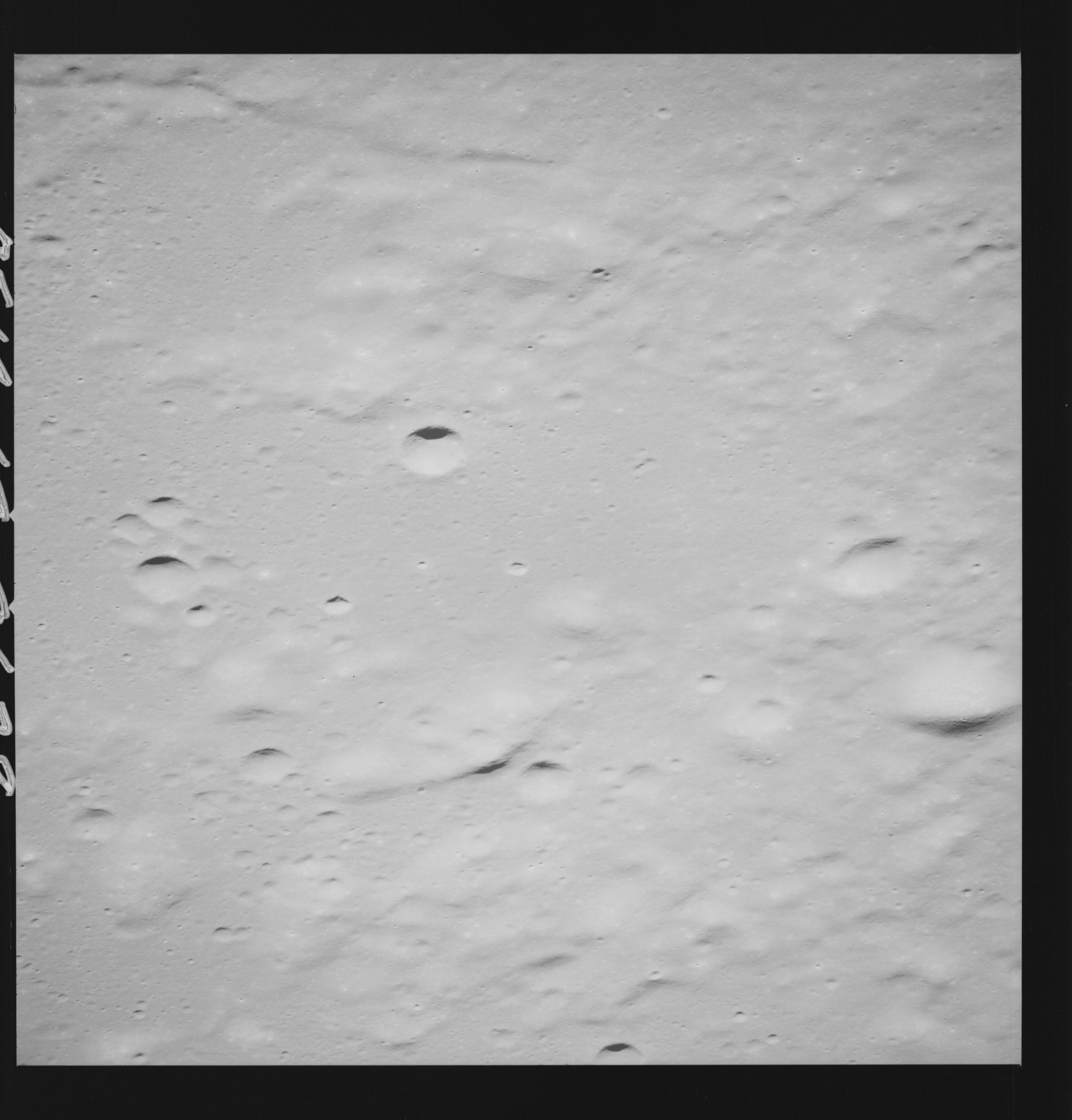 | AS14-69-9628 LANSBERG, SOUTH OF Location: 3° S, 28° W Image credit: National Archives and Records Administration |
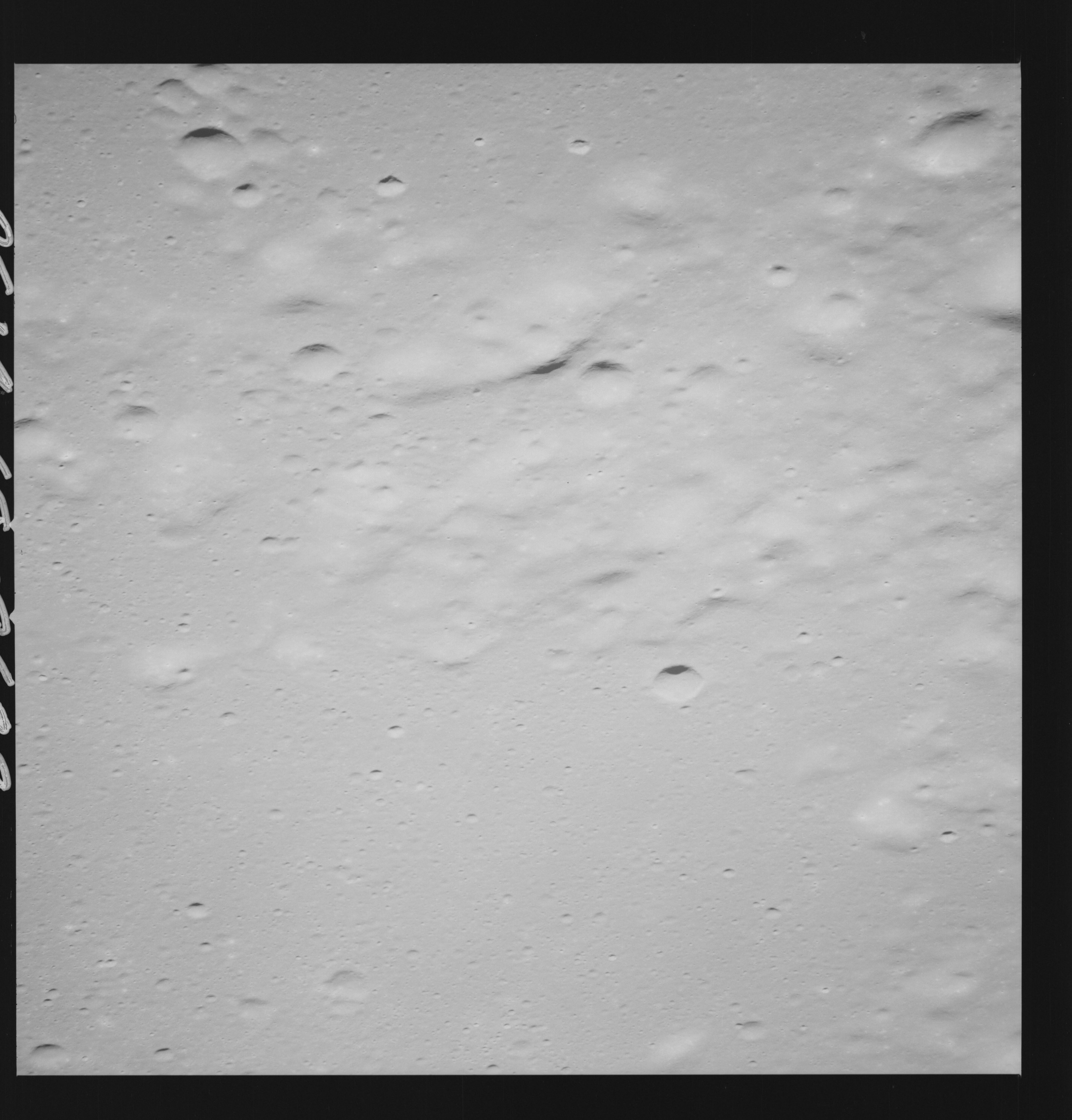 | AS14-69-9629 LANSBERG, SOUTH OF Location: 3° S, 28° W Image credit: National Archives and Records Administration |
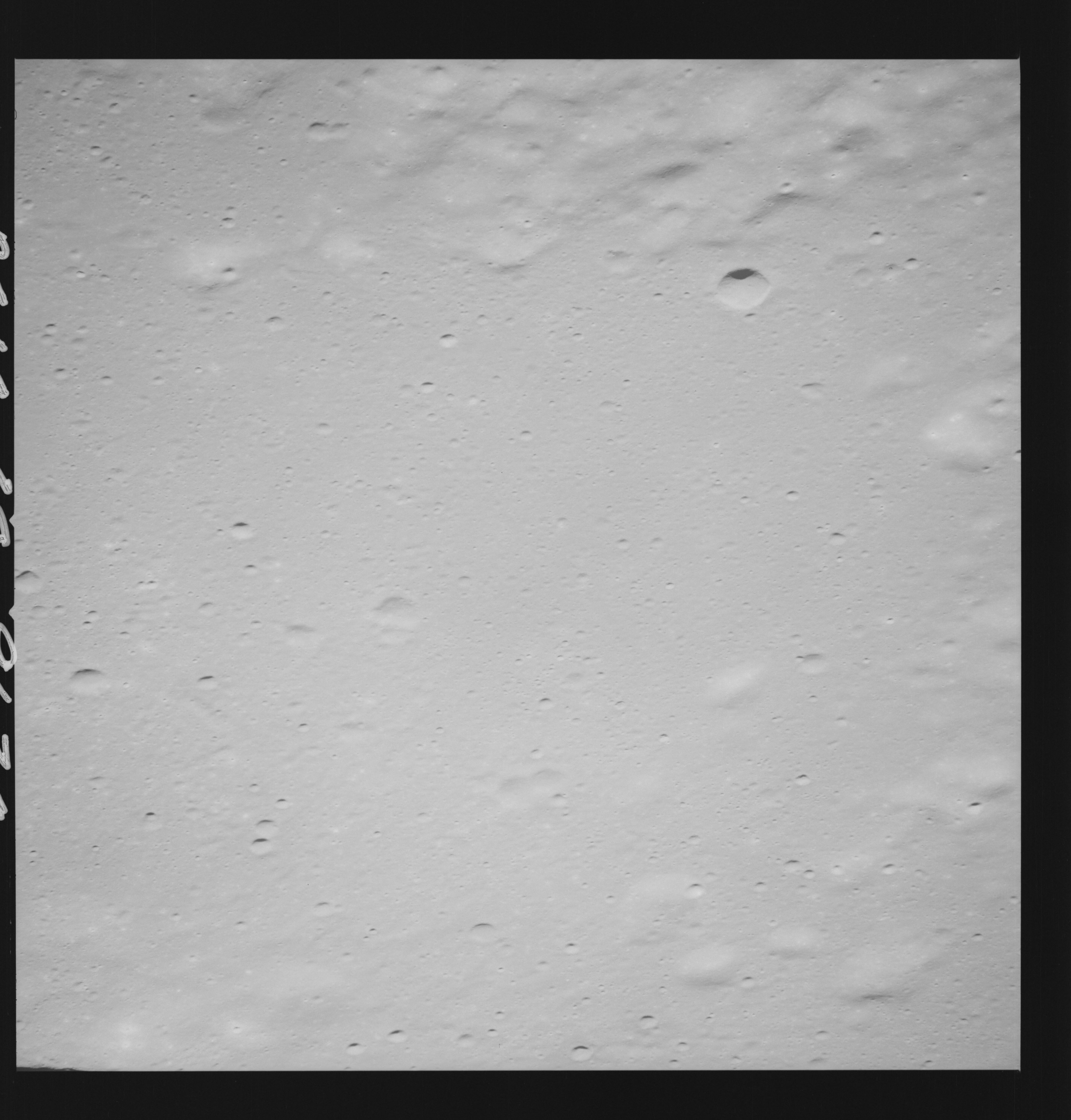 | AS14-69-9630 LANSBERG AREA Location: 3° S, 28° W Image credit: National Archives and Records Administration |
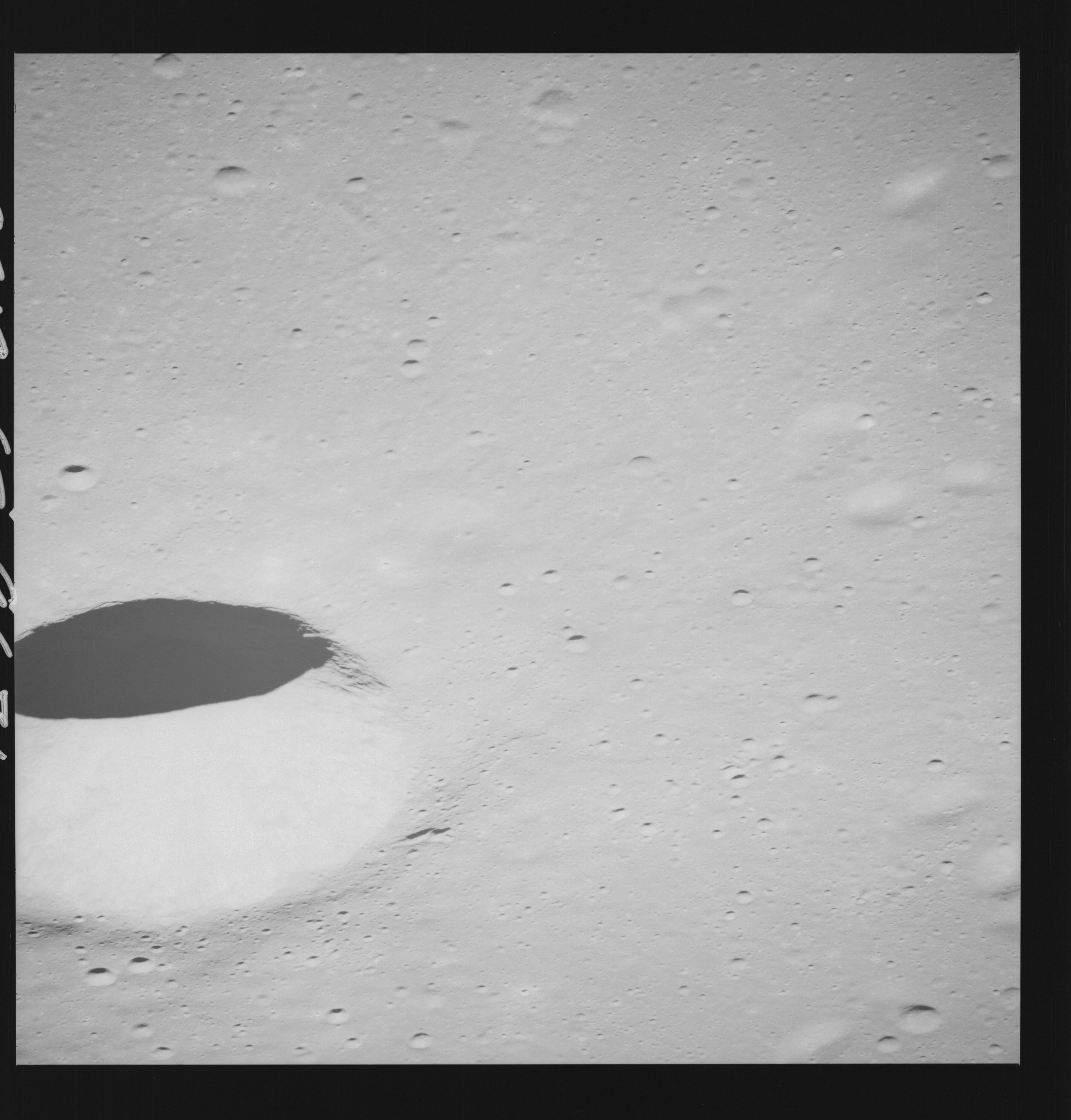 | AS14-69-9631 LANSBERG AREA Location: 3° S, 28° W Image credit: National Archives and Records Administration |
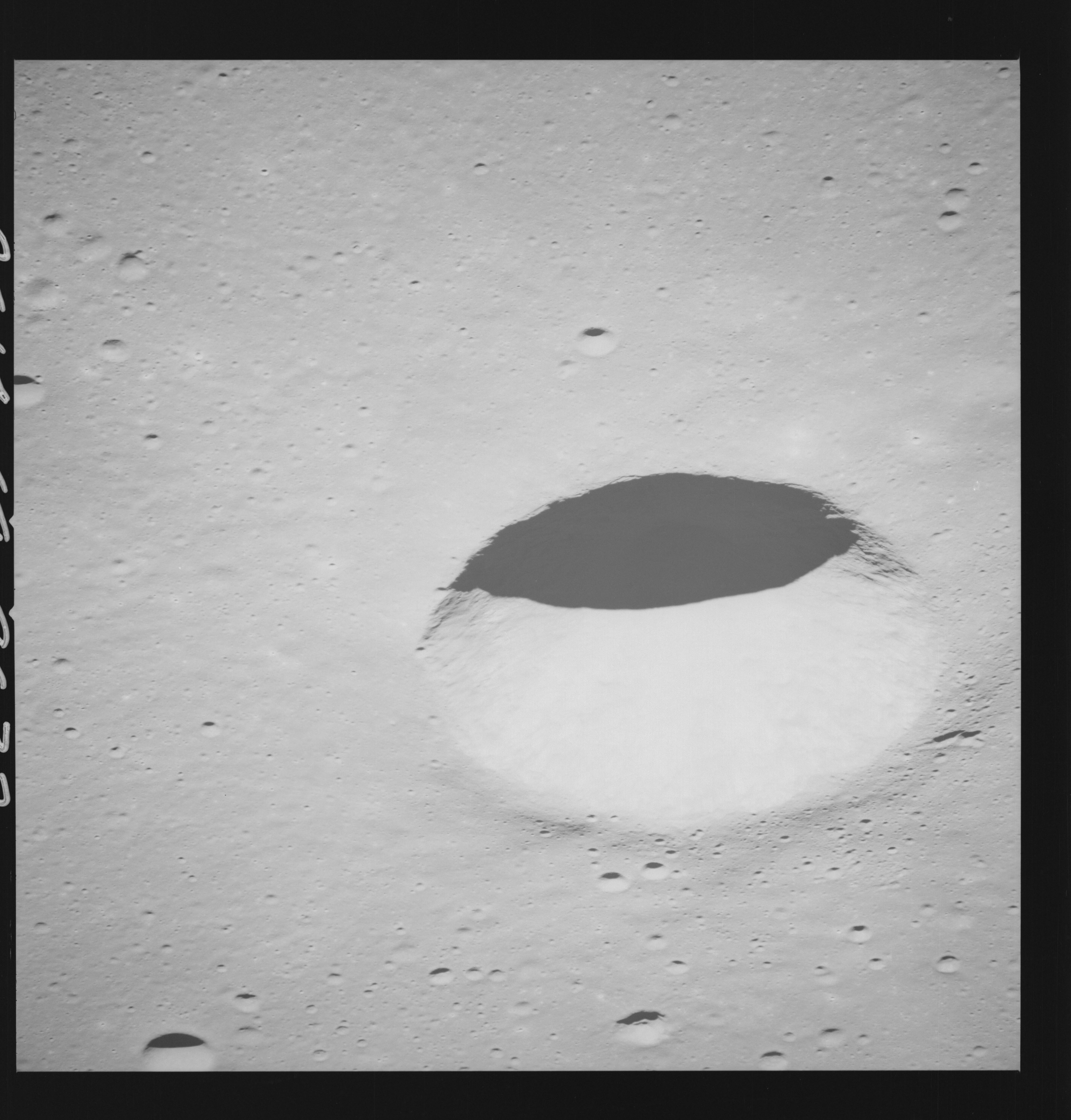 | AS14-69-9632 LANSBERG AREA Location: 3° S, 28° W Image credit: National Archives and Records Administration |
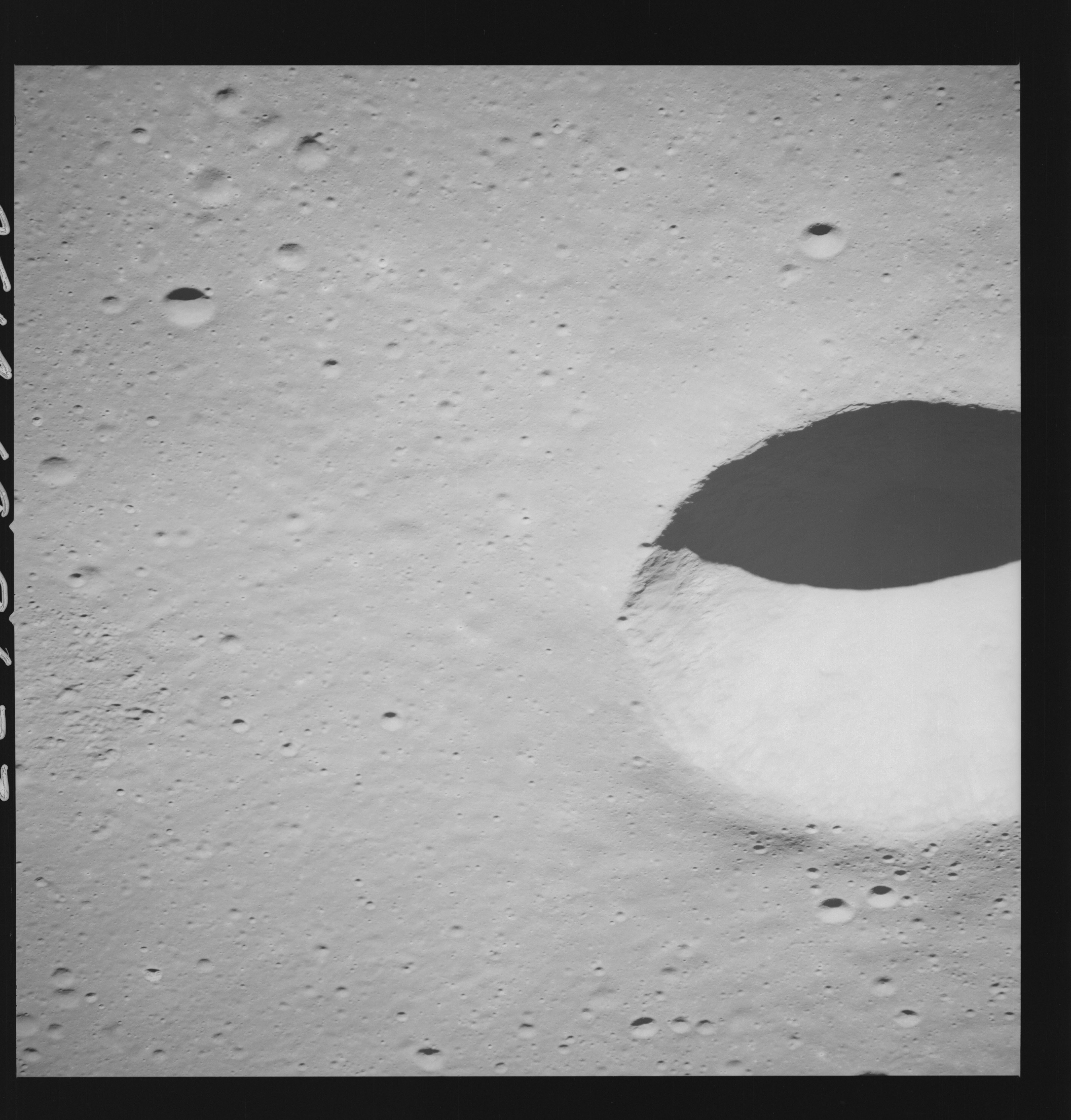 | AS14-69-9633 LANSBERG AREA Location: 3° S, 28° W Image credit: National Archives and Records Administration |
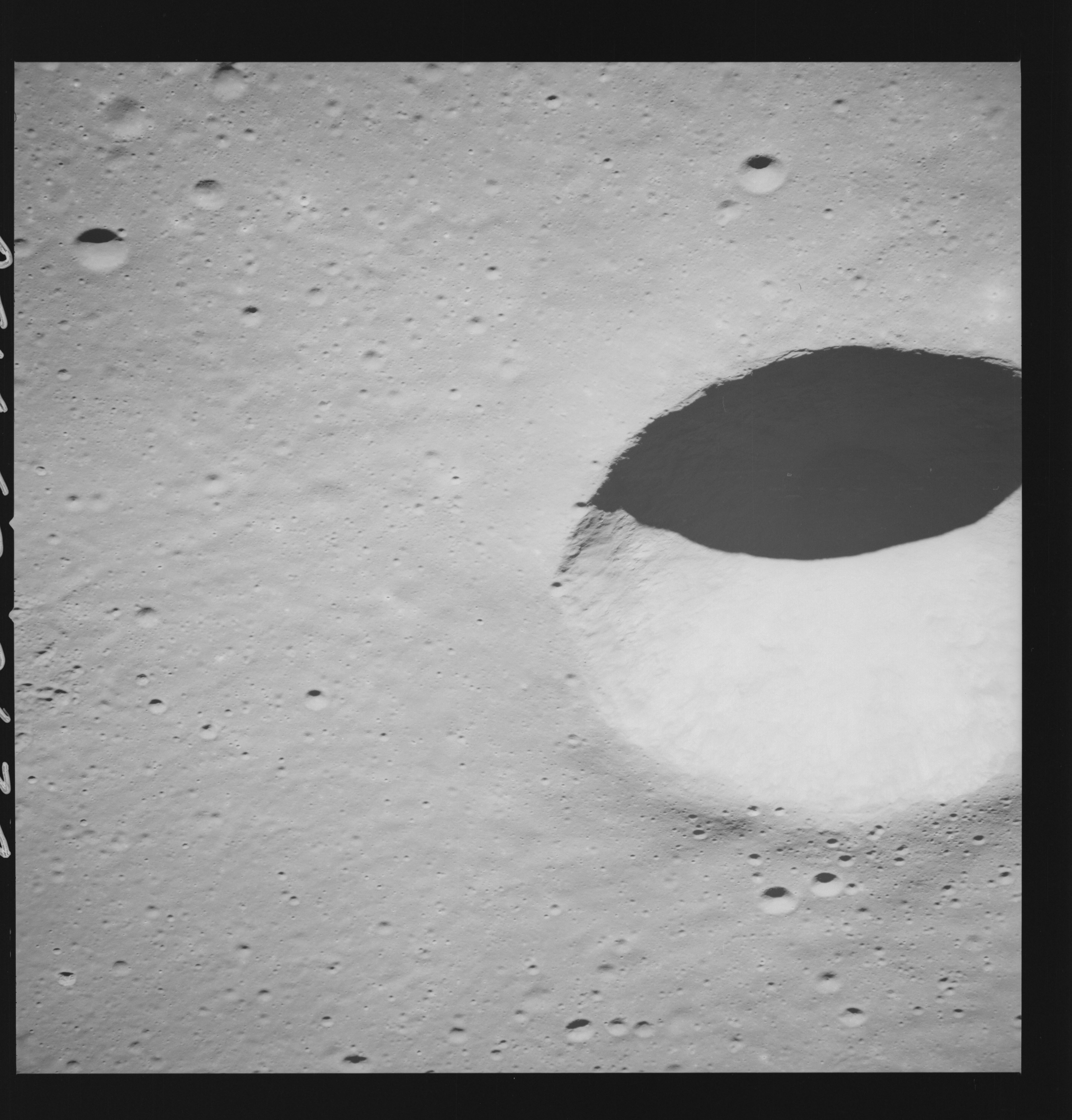 | AS14-69-9634 LANSBERG AREA Location: 3° S, 28° W Image credit: National Archives and Records Administration |
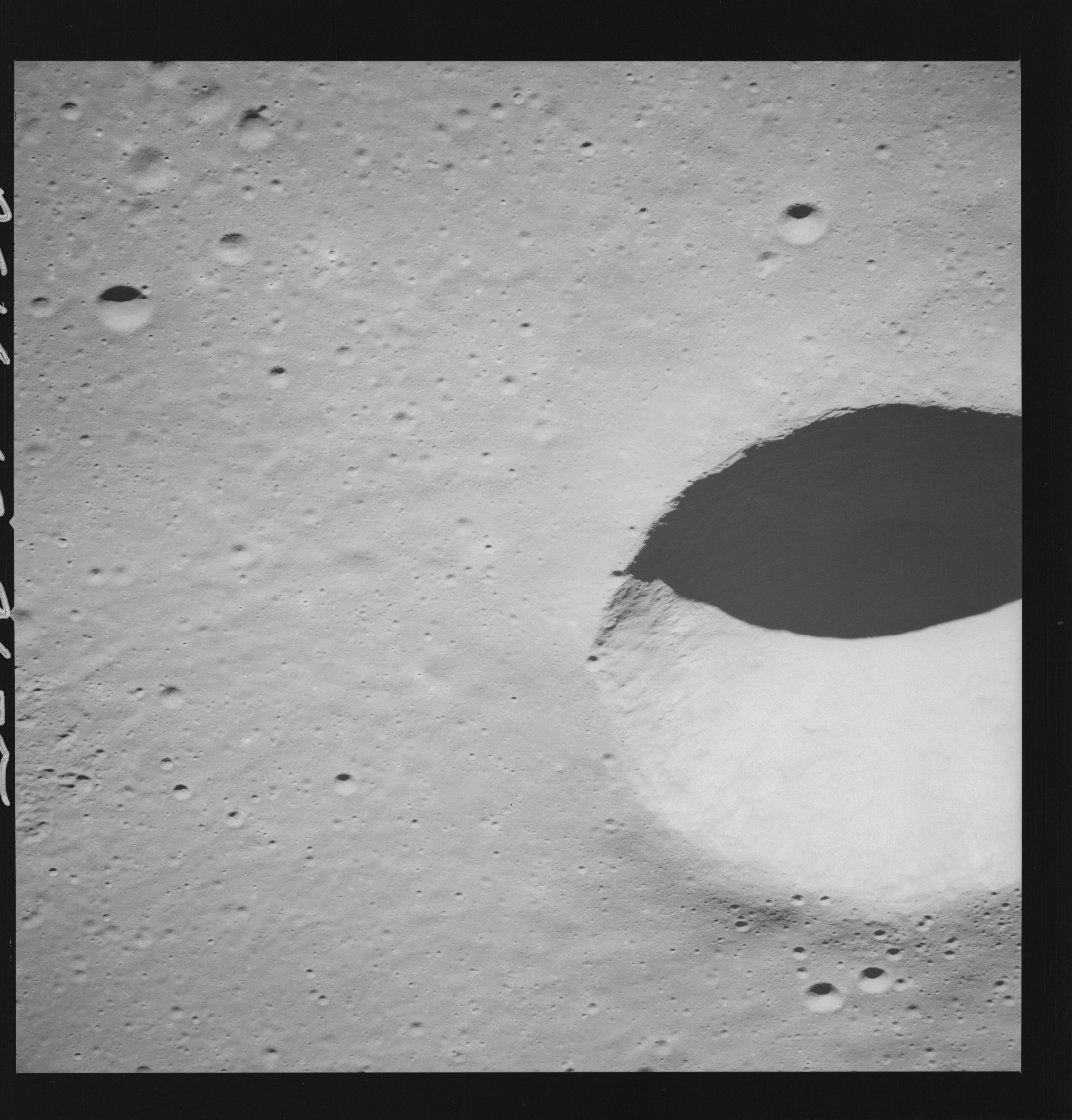 | AS14-69-9635 LANSBERG AREA Location: 3° S, 28° W Image credit: National Archives and Records Administration |
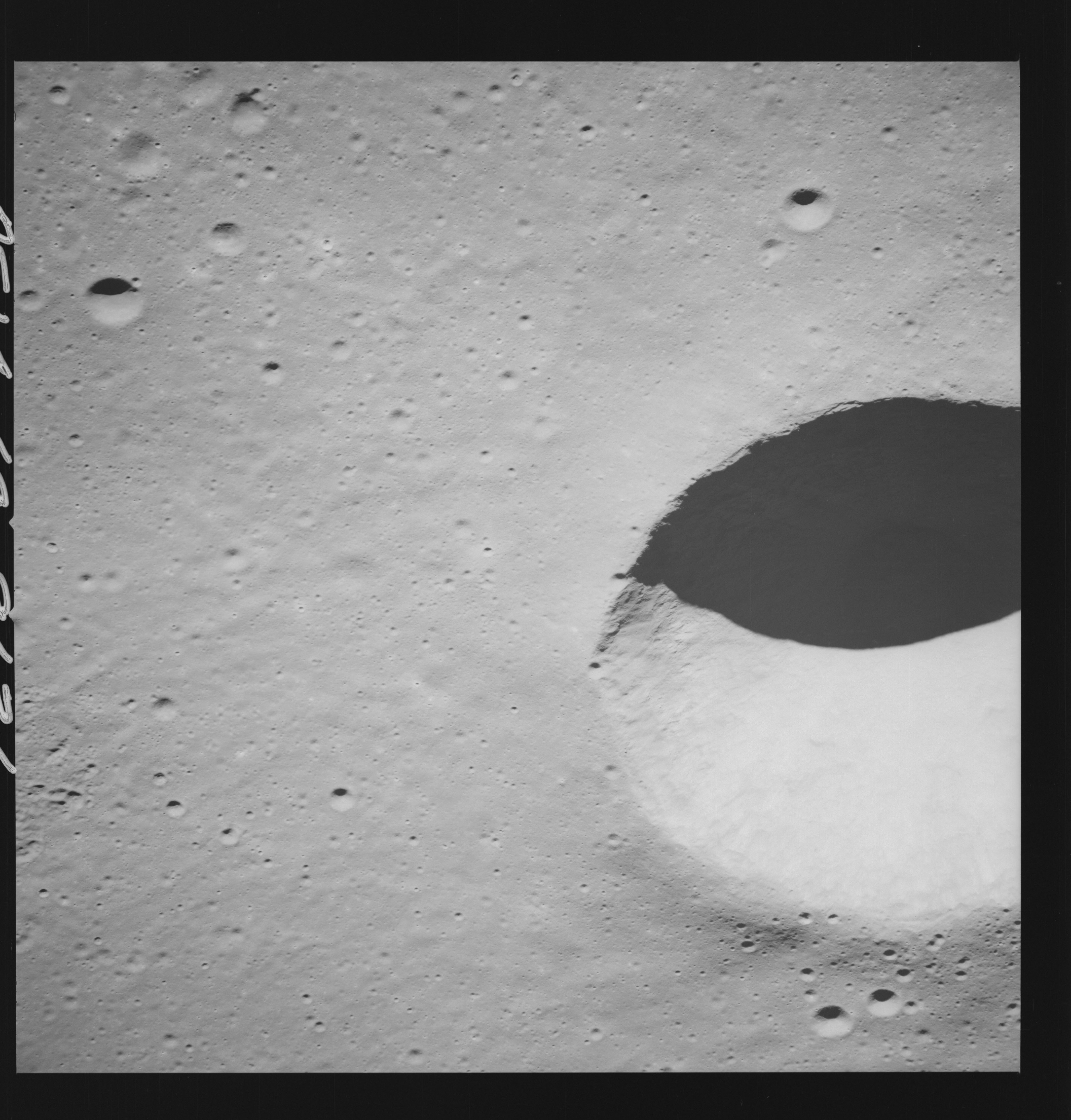 | AS14-69-9636 LANSBERG AREA Location: 3° S, 28° W Image credit: National Archives and Records Administration |
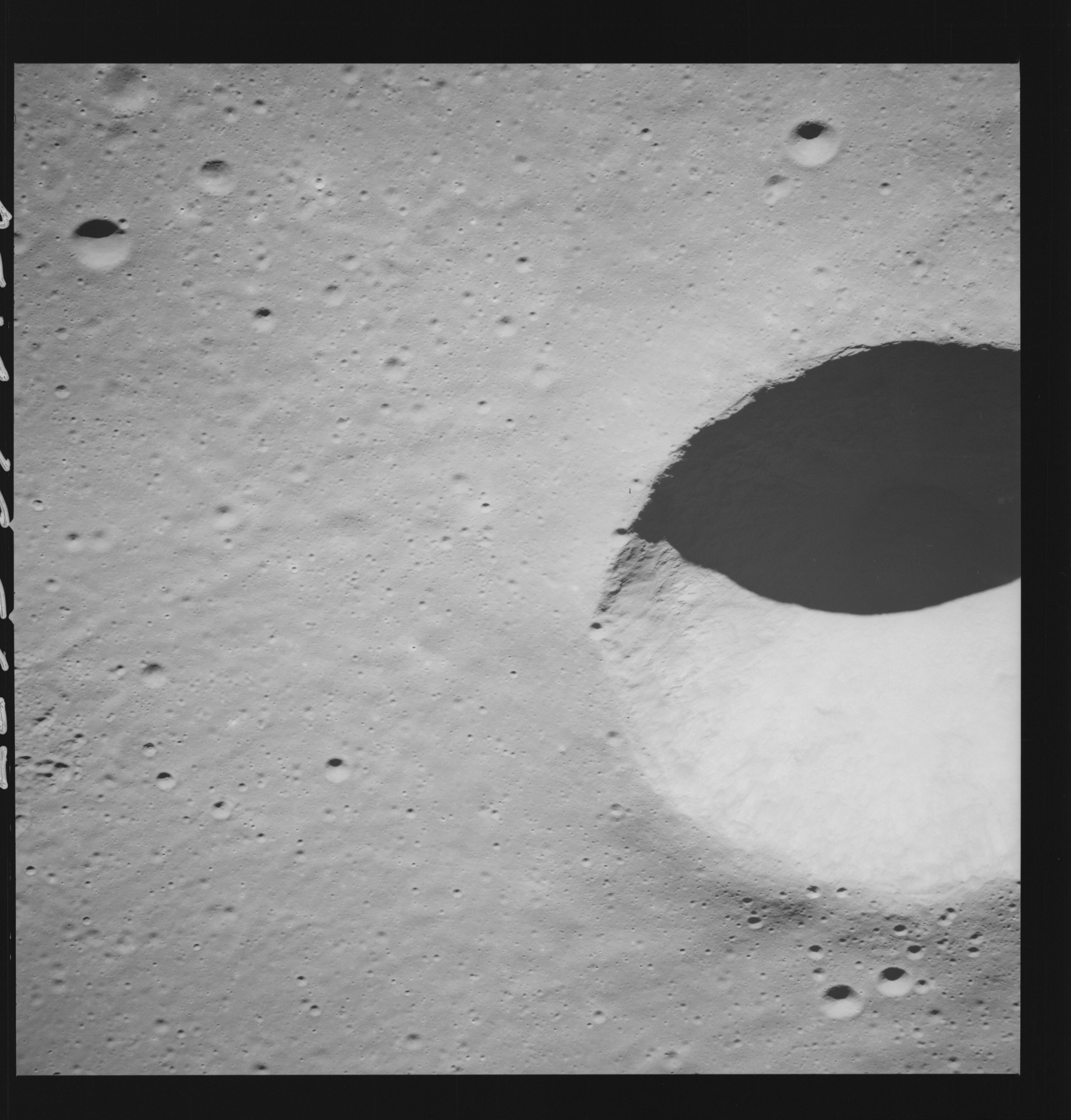 | AS14-69-9637 LANSBERG B AREA Location: 2.5° S, 28° W Image credit: National Archives and Records Administration |
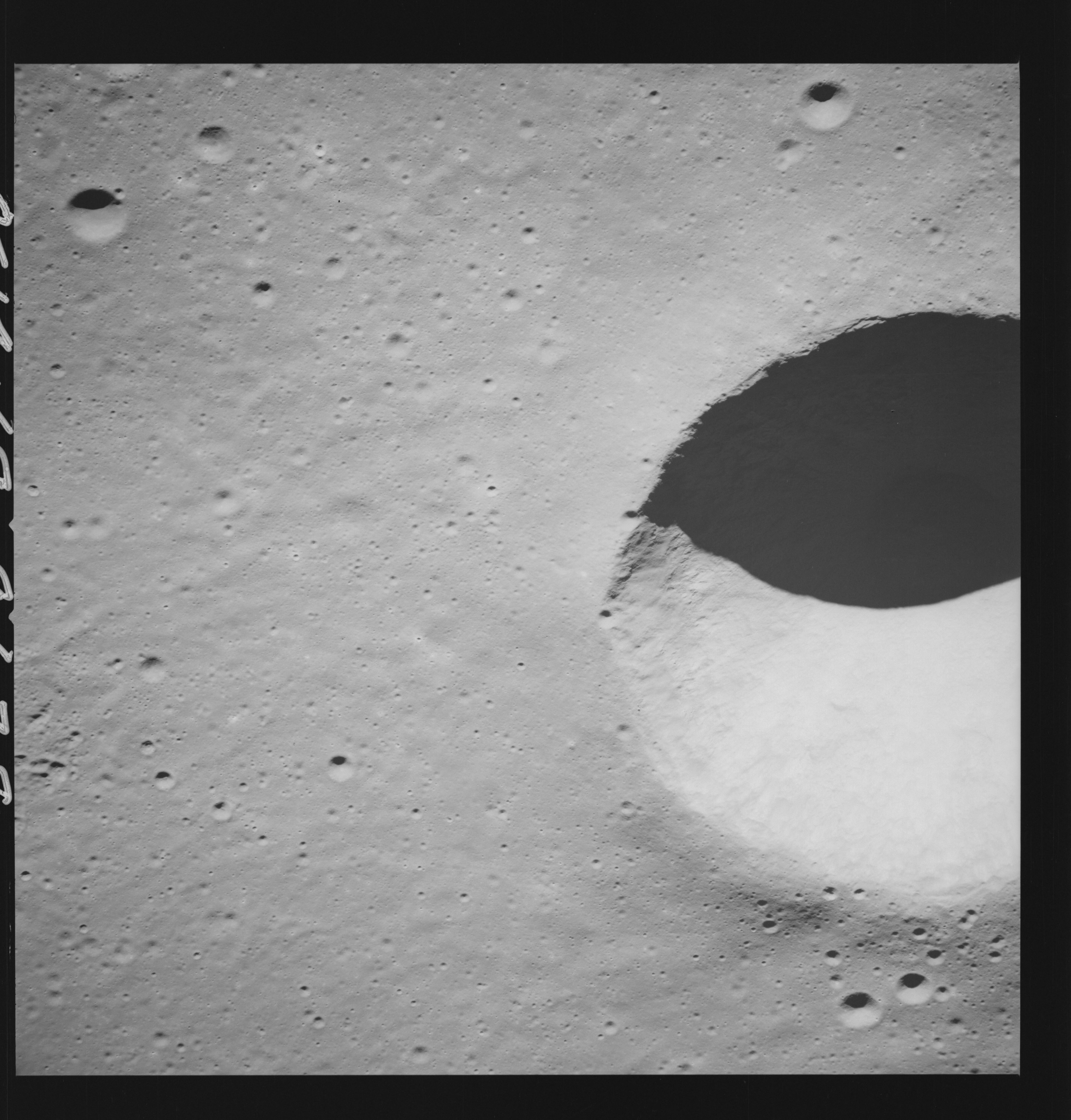 | AS14-69-9638 LANSBERG B AREA Location: 2.5° S, 28° W Image credit: National Archives and Records Administration |
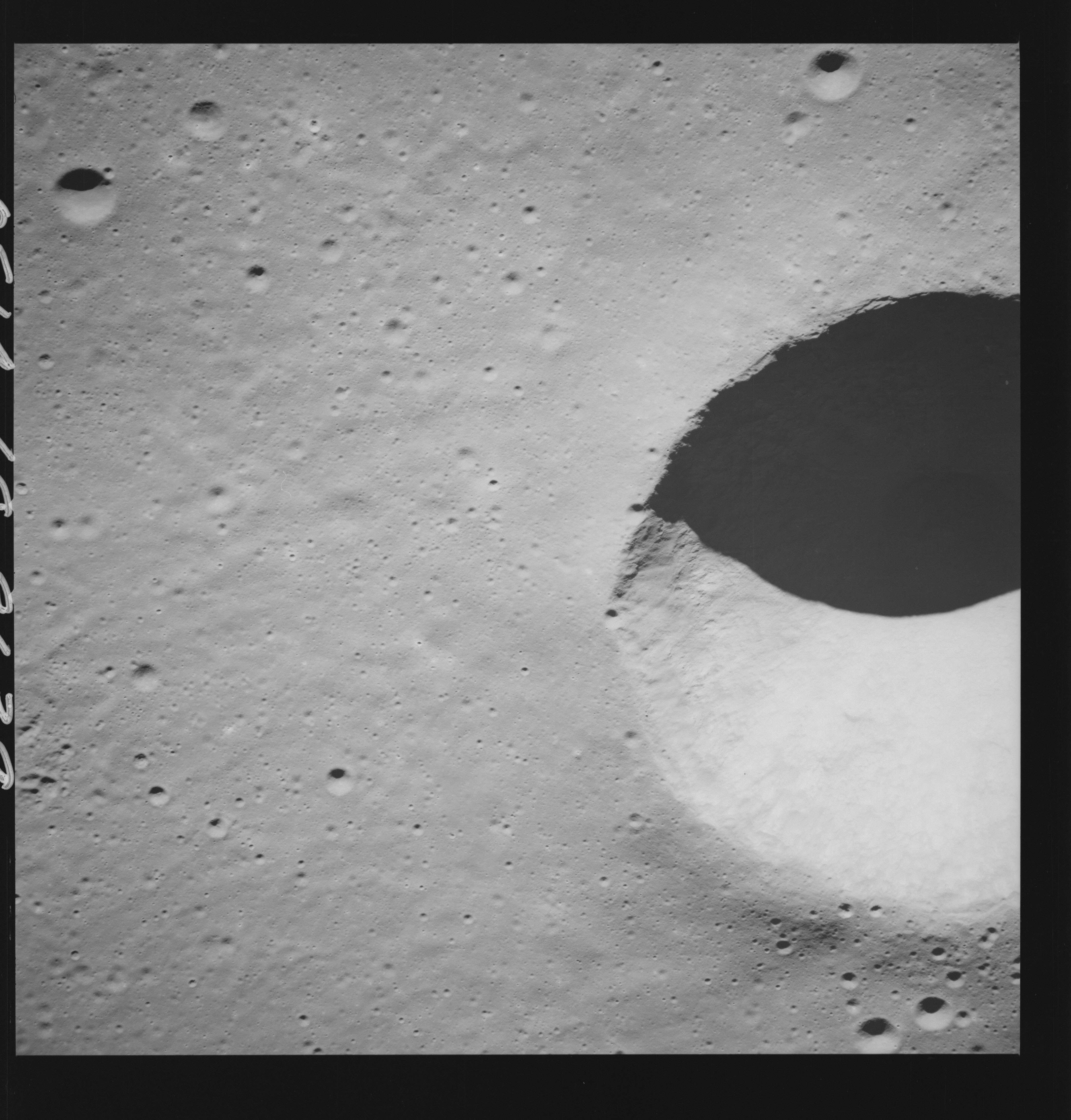 | AS14-69-9639 LANSBERG B AREA Location: 2.5° S, 28° W Image credit: National Archives and Records Administration |
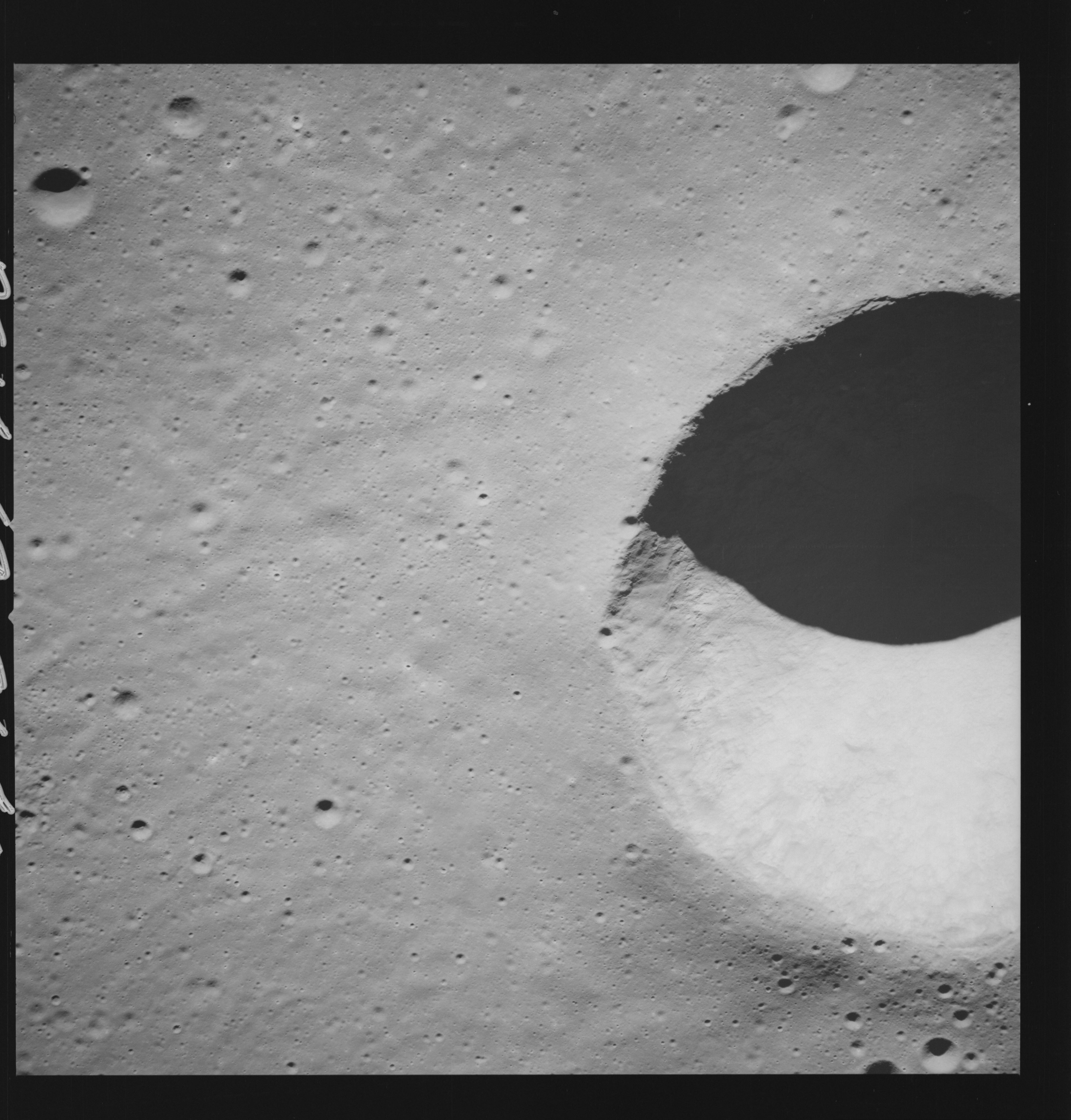 | AS14-69-9640 LANSBERG B AREA Location: 2.5° S, 28° W Image credit: National Archives and Records Administration |
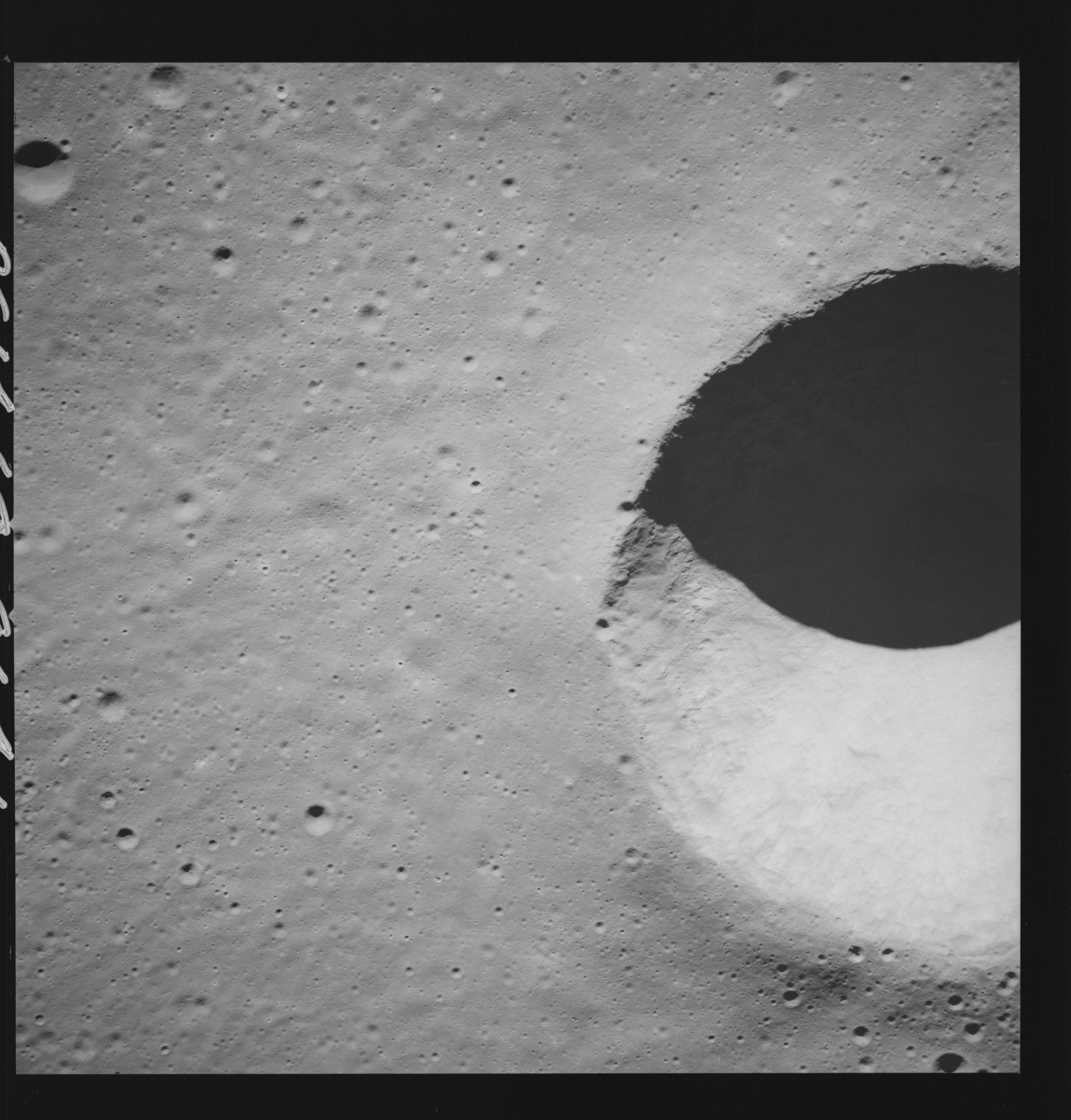 | AS14-69-9641 LANSBERG B AREA Location: 2.5° S, 28° W Image credit: National Archives and Records Administration |
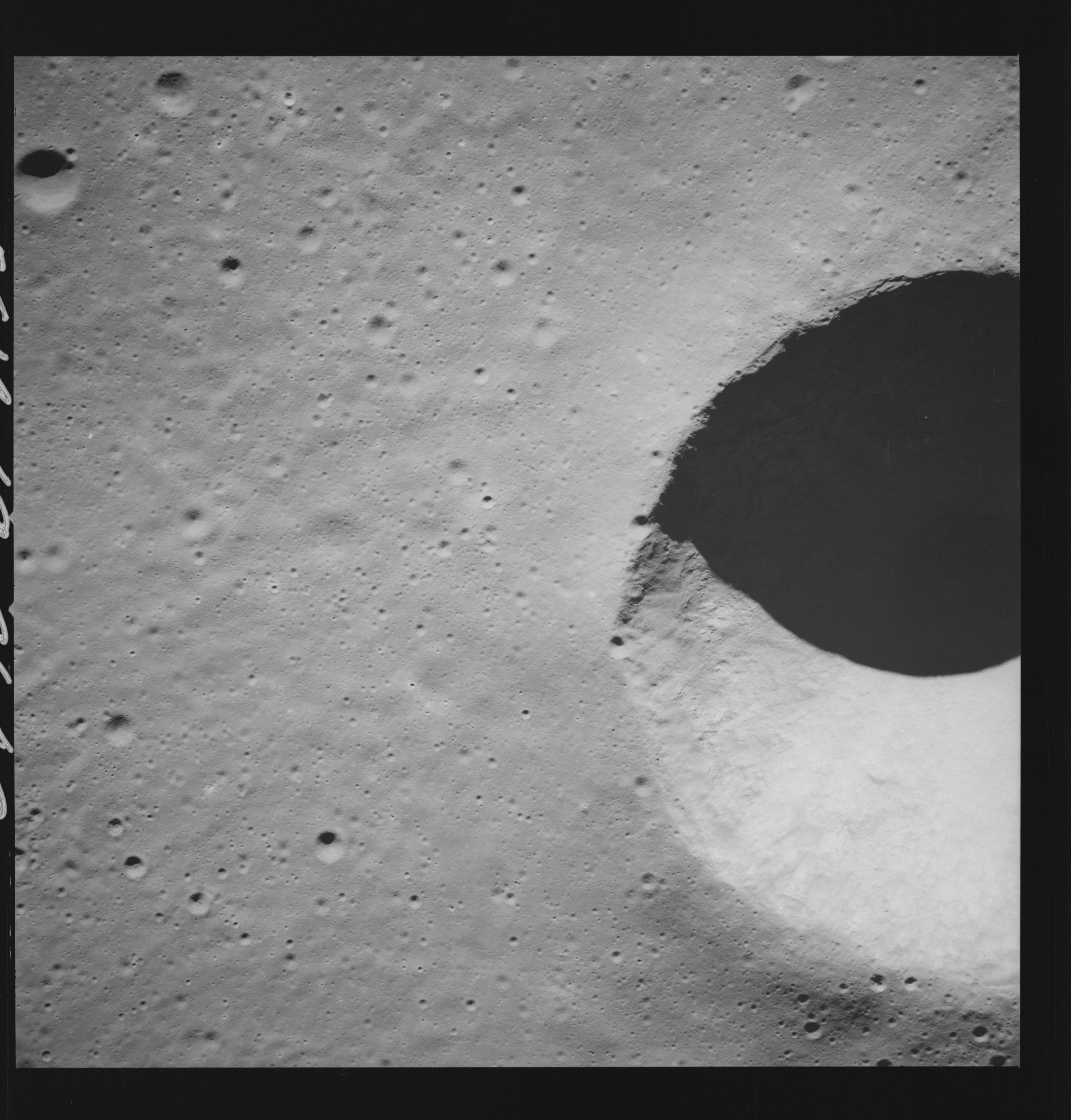 | AS14-69-9642 LANSBERG B AREA Location: 2.5° S, 28° W Image credit: National Archives and Records Administration |
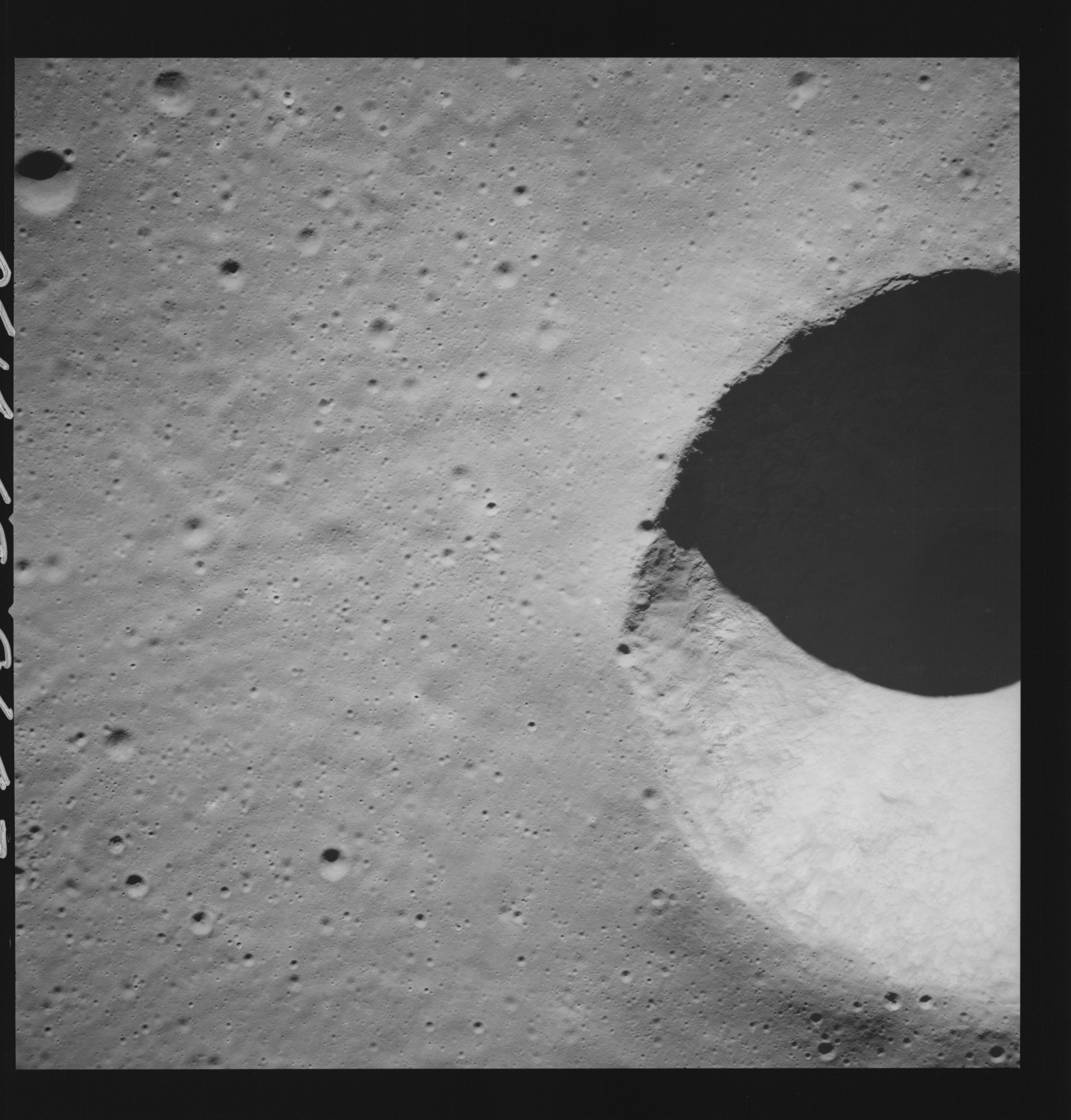 | AS14-69-9643 LANSBERG B AREA Location: 2.5° S, 28° W Image credit: National Archives and Records Administration |
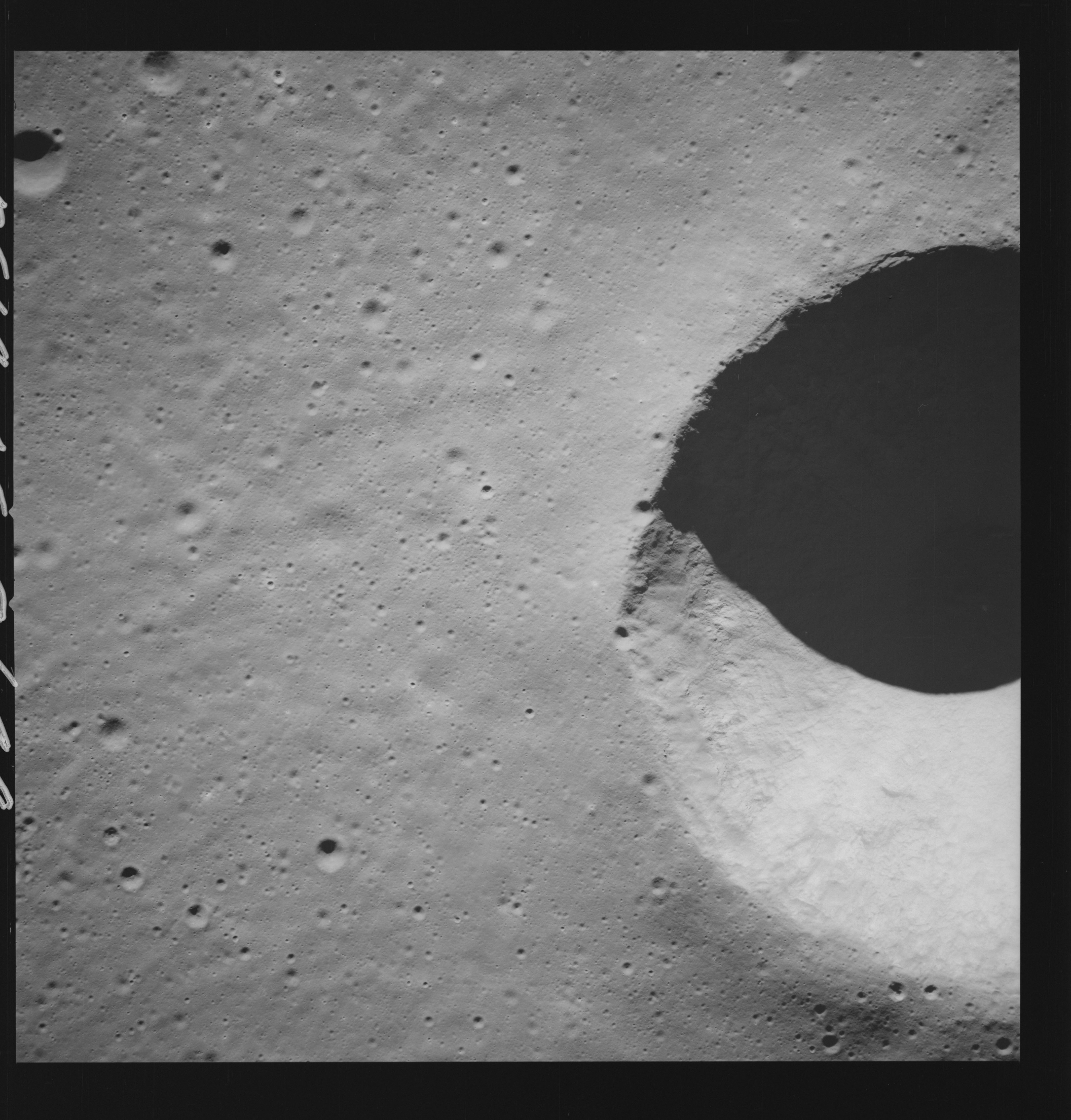 | AS14-69-9644 LANSBERG B AREA Location: 2.5° S, 28° W Image credit: National Archives and Records Administration |
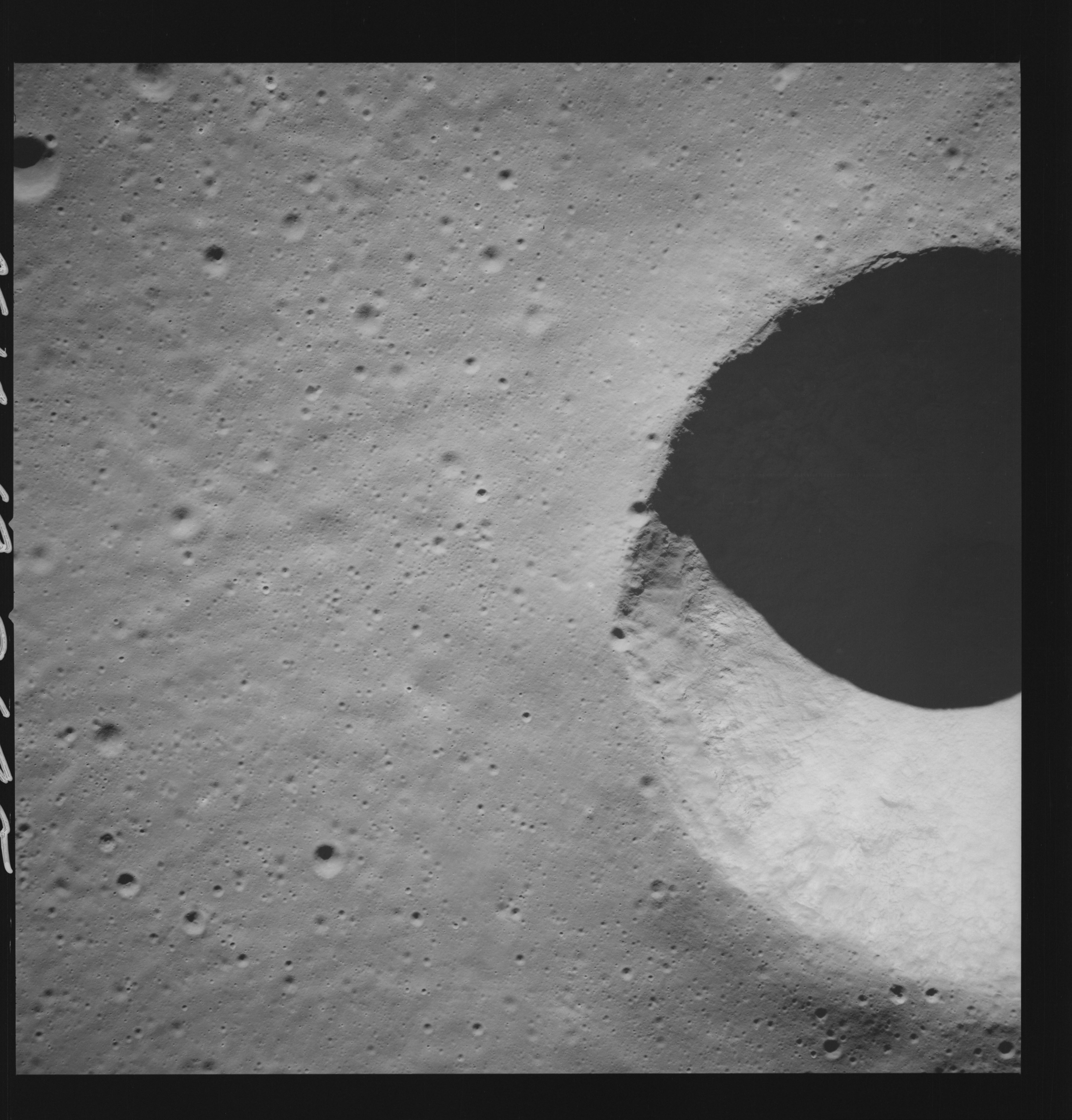 | AS14-69-9645 LANSBERG B AREA Location: 2.5° S, 28° W Image credit: National Archives and Records Administration |
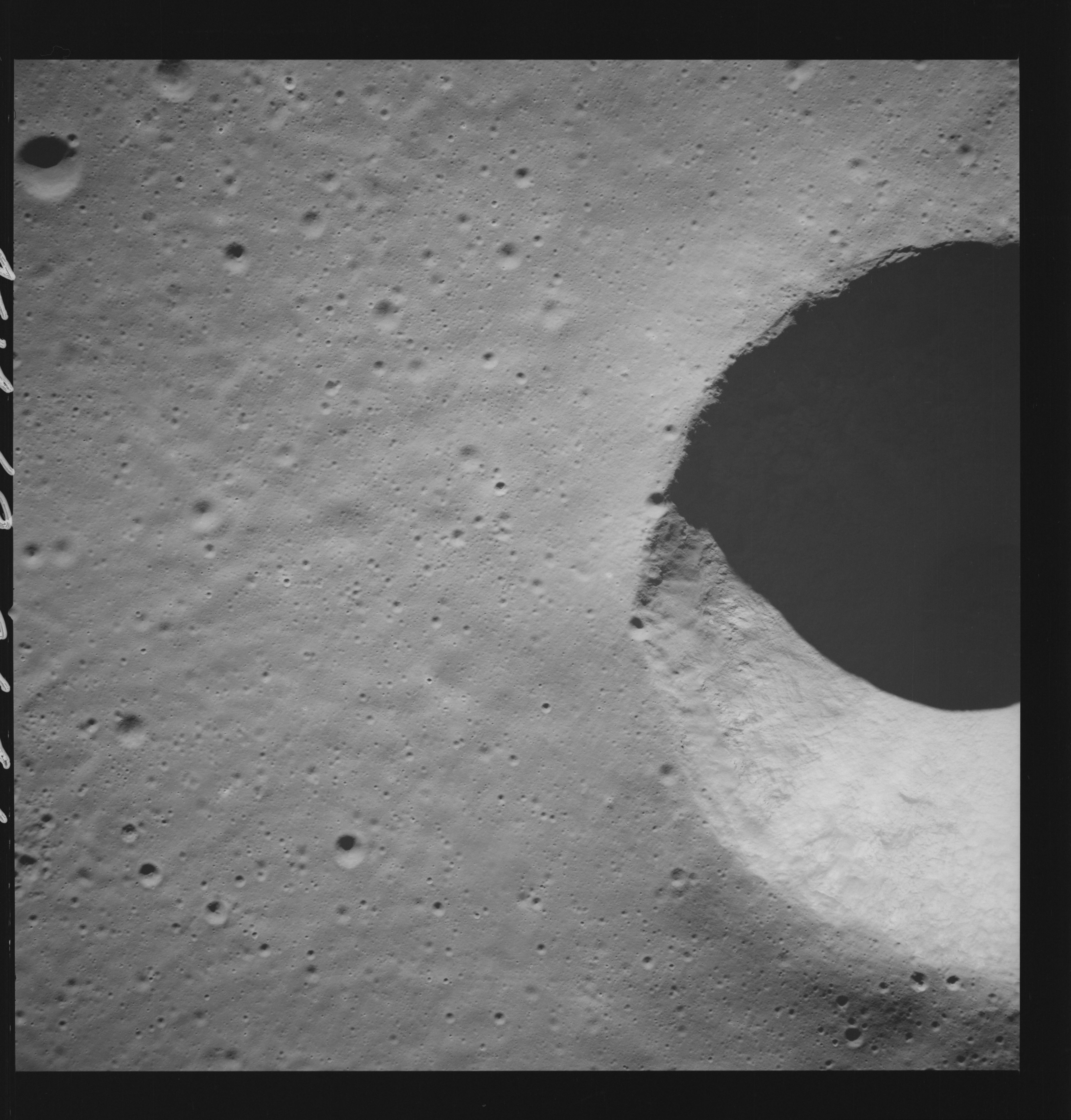 | AS14-69-9646 LANSBERG B AREA Location: 2.5° S, 28° W Image credit: National Archives and Records Administration |
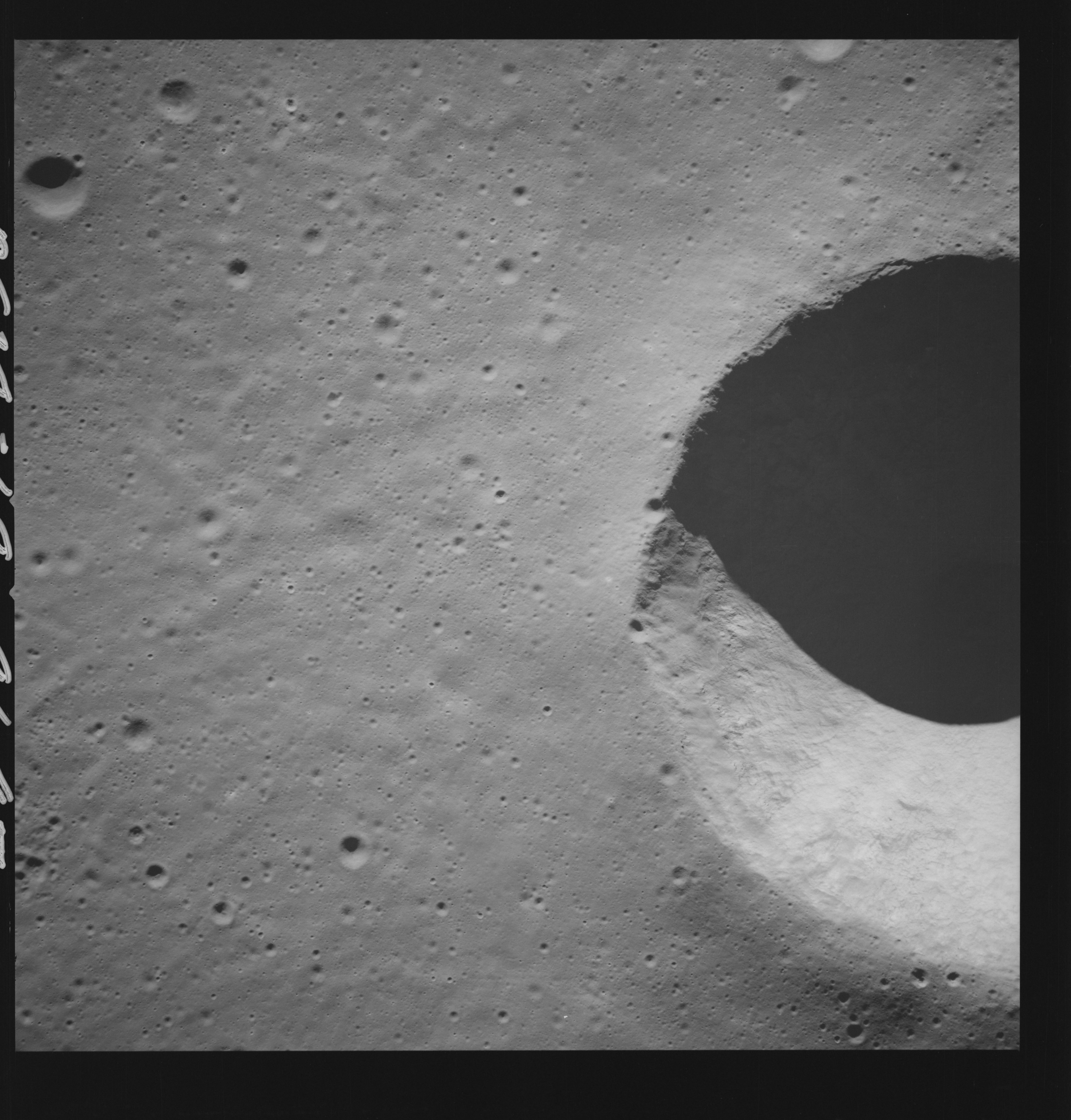 | AS14-69-9647 LANSBERG B AREA Location: 2.5° S, 28° W Image credit: National Archives and Records Administration |
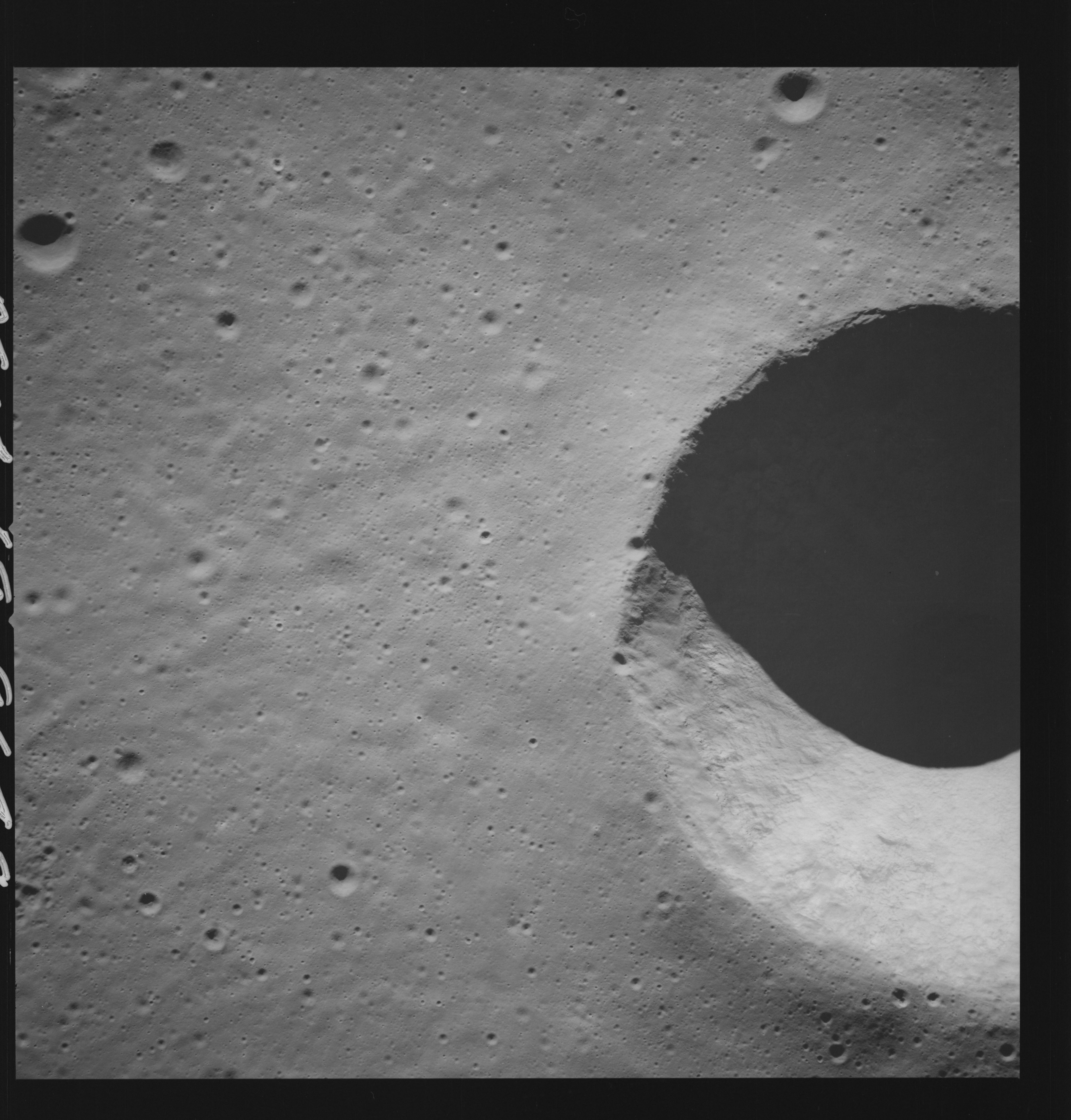 | AS14-69-9648 LANSBERG B AREA Location: 2.5° S, 28° W Image credit: National Archives and Records Administration |
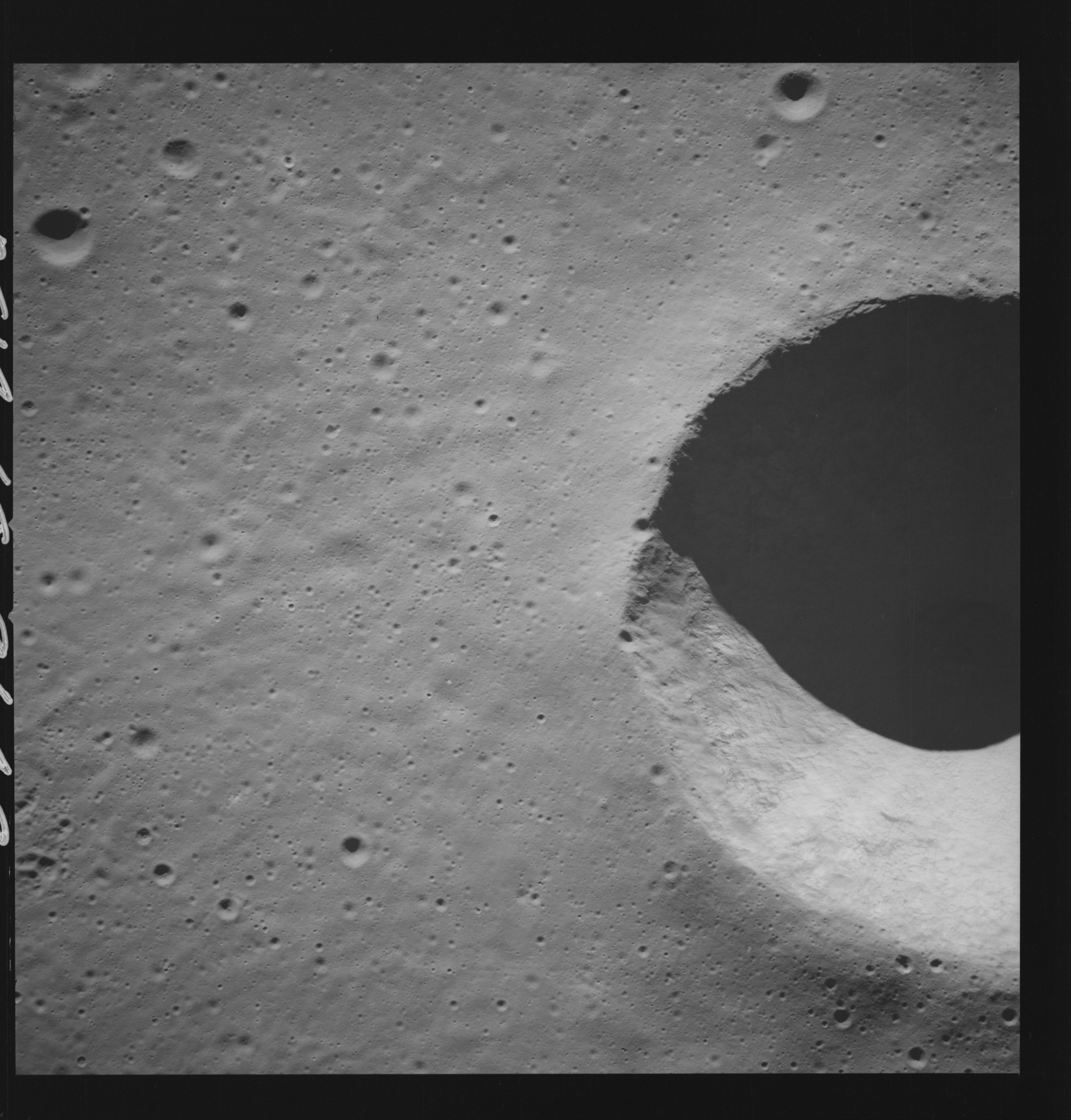 | AS14-69-9649 LANSBERG B AREA Location: 2.5° S, 28° W Image credit: National Archives and Records Administration |
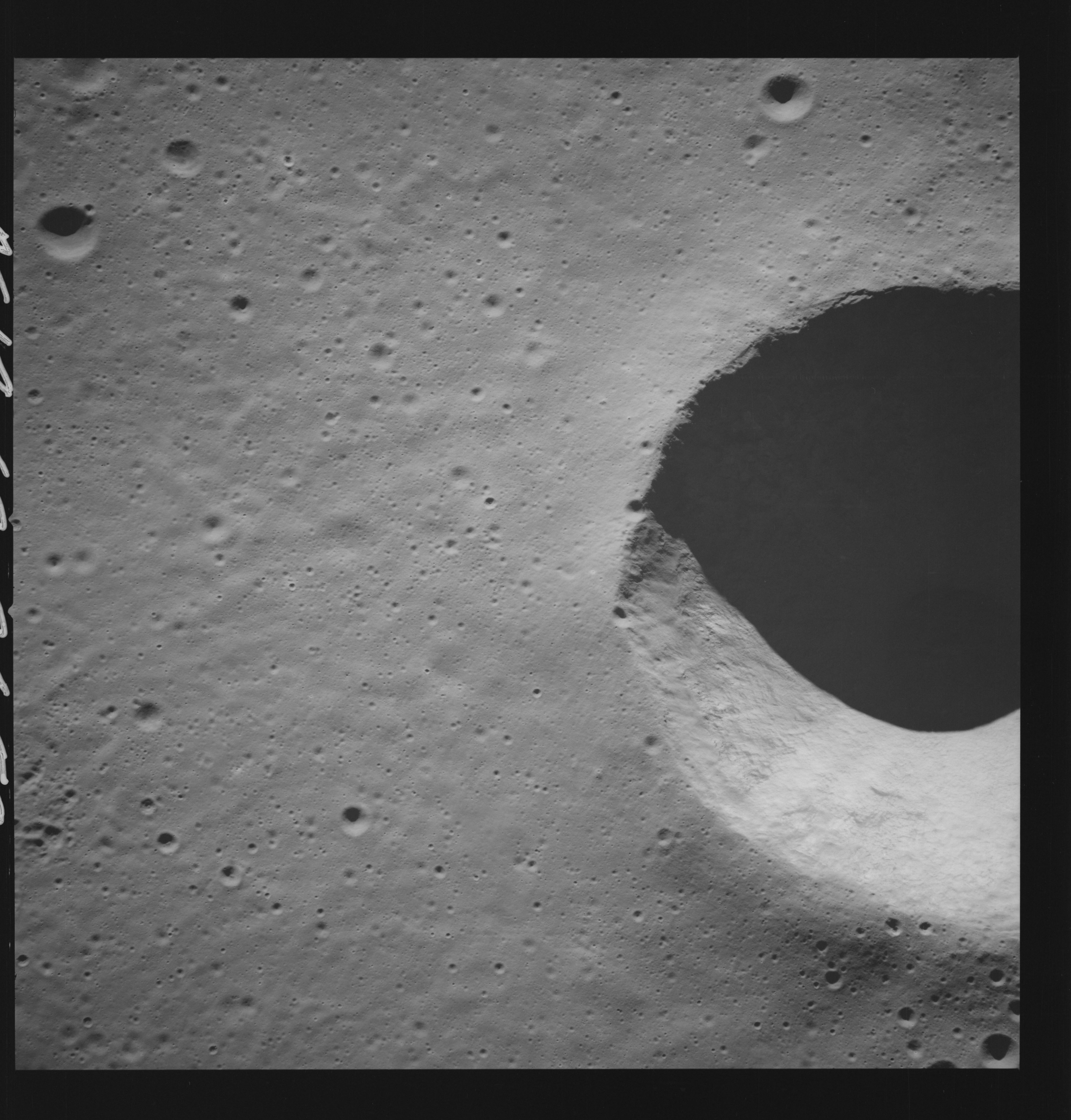 | AS14-69-9650 LANSBERG B AREA Location: 2.5° S, 28° W Image credit: National Archives and Records Administration |
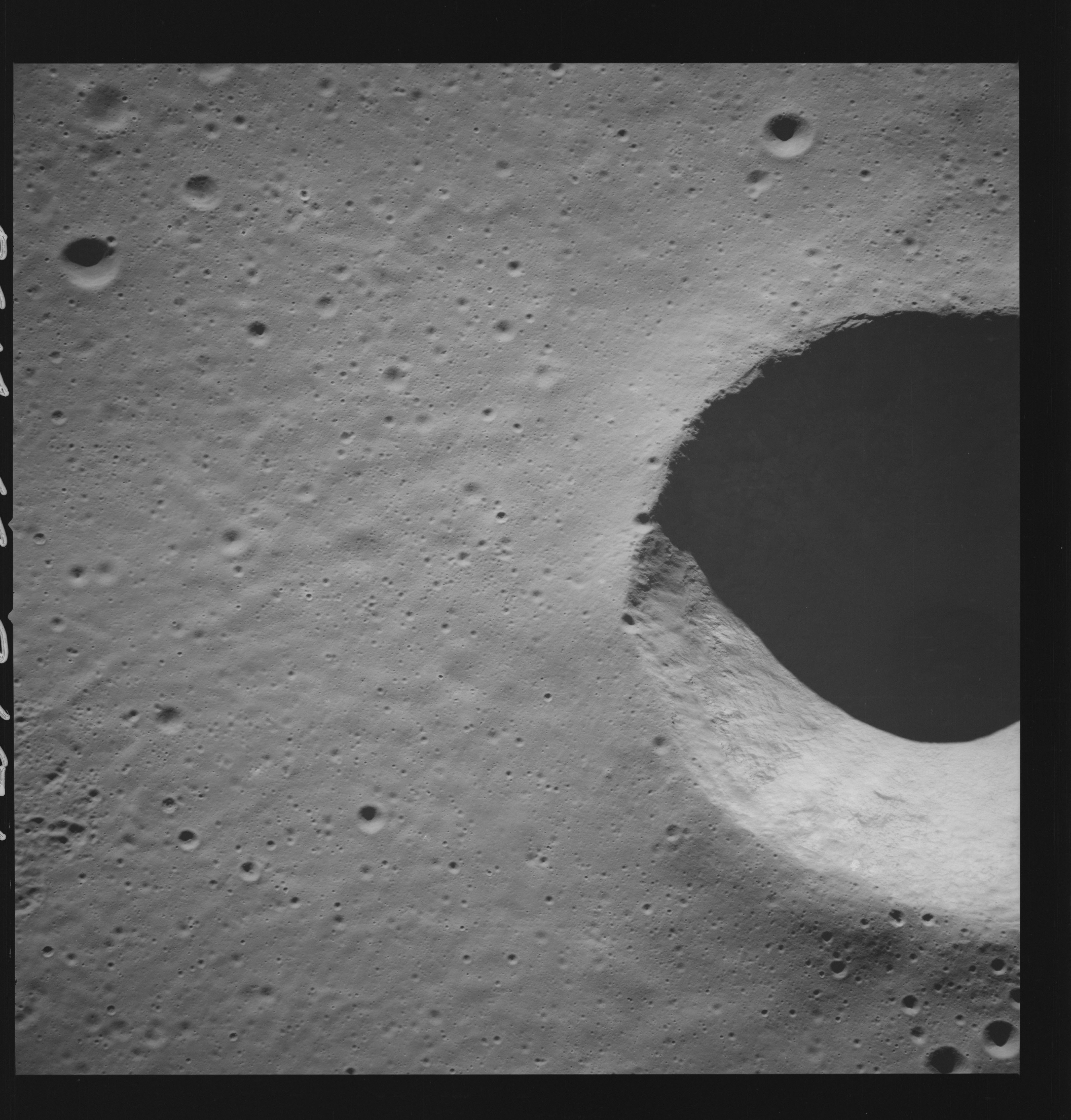 | AS14-69-9651 LANSBERG B AREA Location: 2.5° S, 28° W Image credit: National Archives and Records Administration |
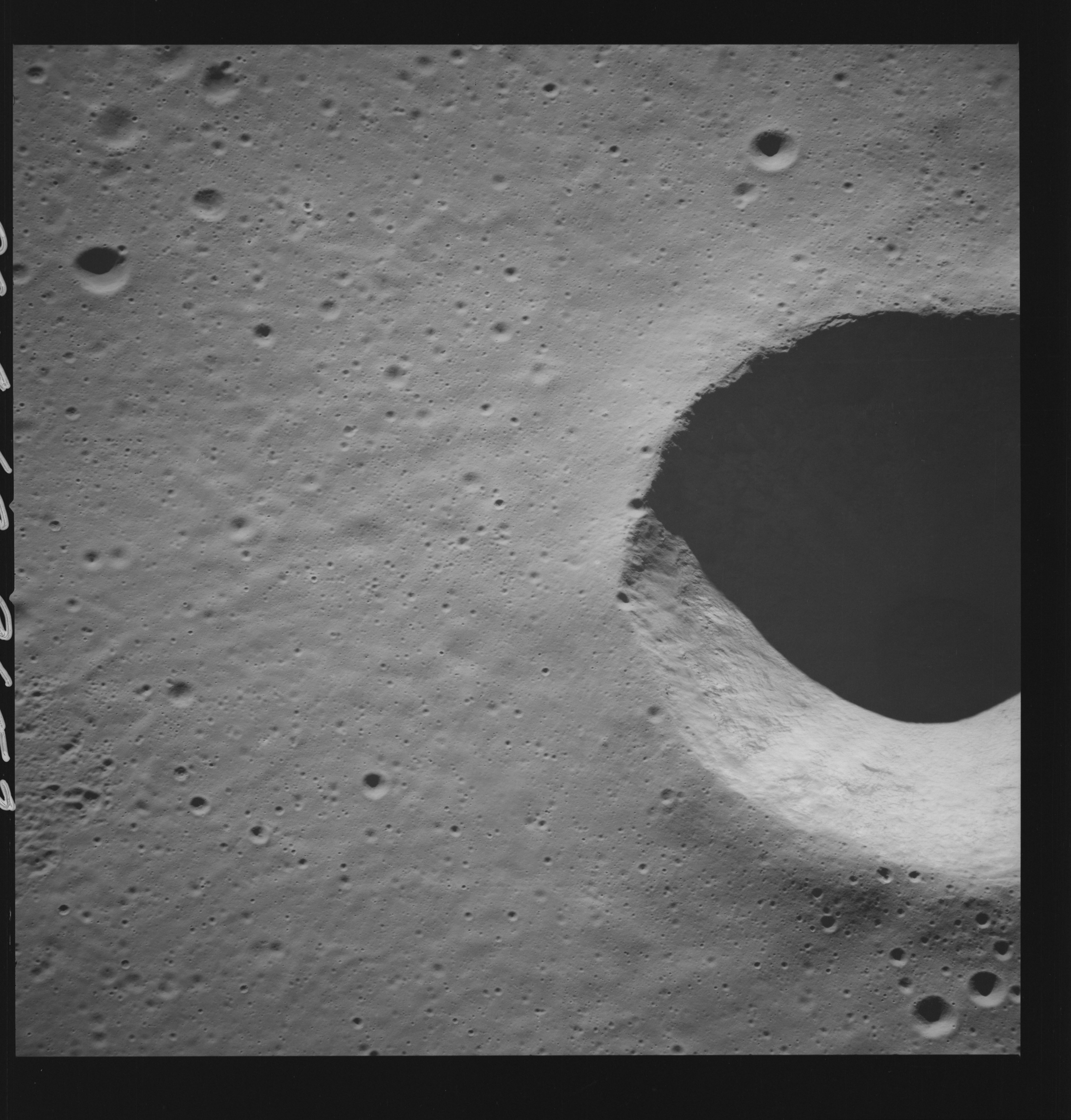 | AS14-69-9652 LANSBERG B AREA Location: 2.5° S, 28° W Image credit: National Archives and Records Administration |
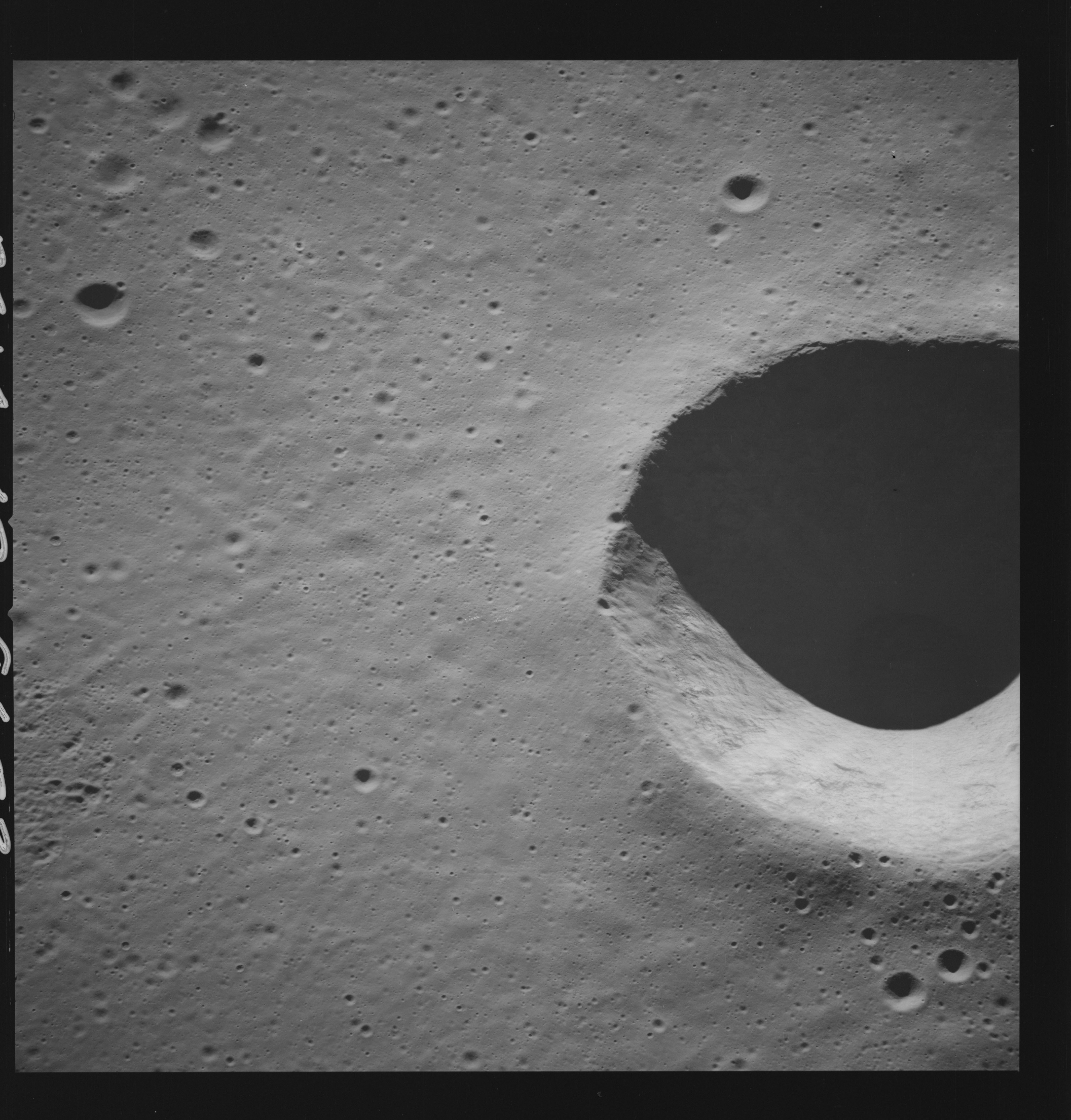 | AS14-69-9653 LANSBERG B AREA Location: 2.5° S, 28° W Image credit: National Archives and Records Administration |
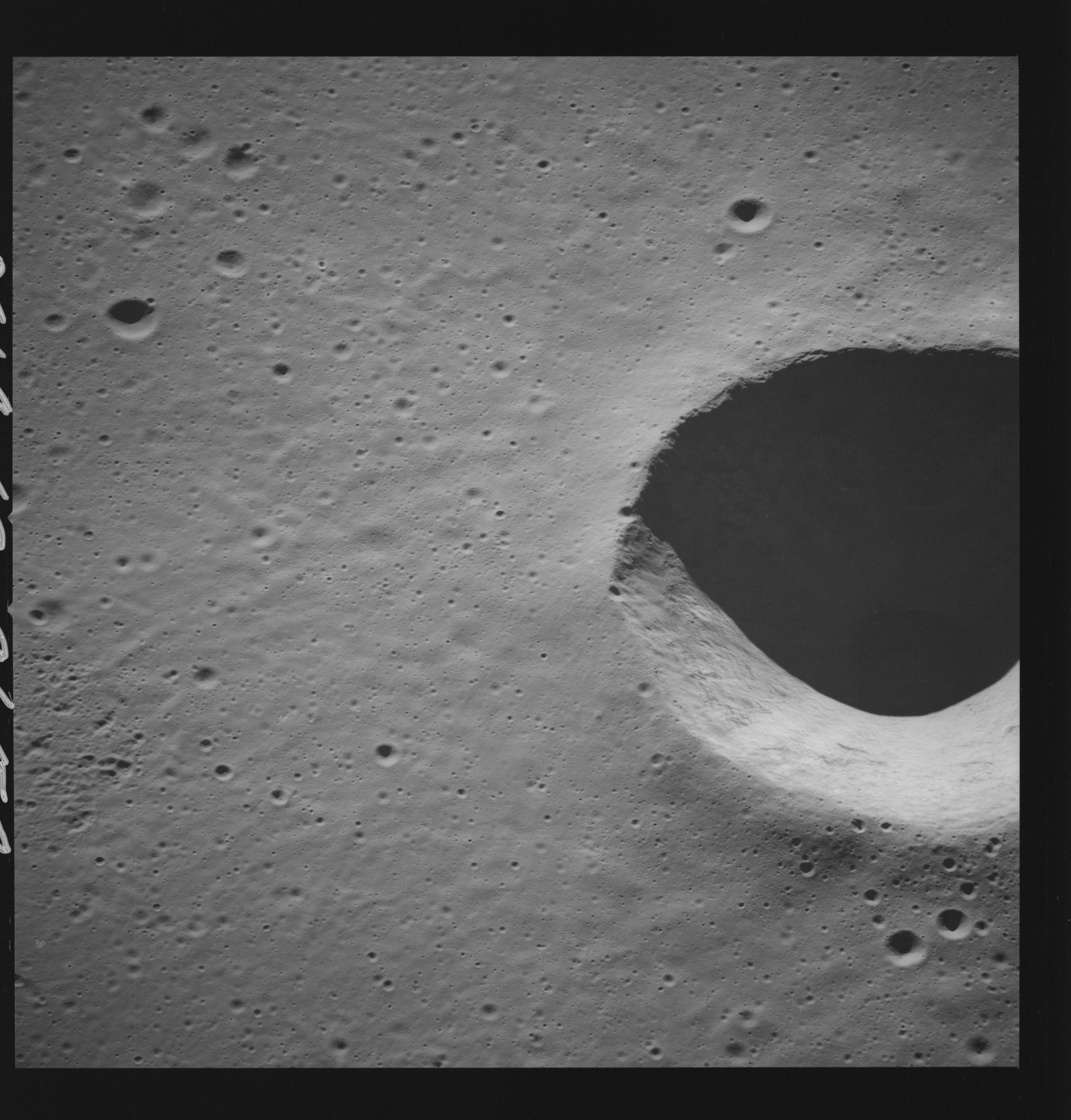 | AS14-69-9654 LANSBERG B AREA Location: 2.5° S Image credit: National Archives and Records Administration |
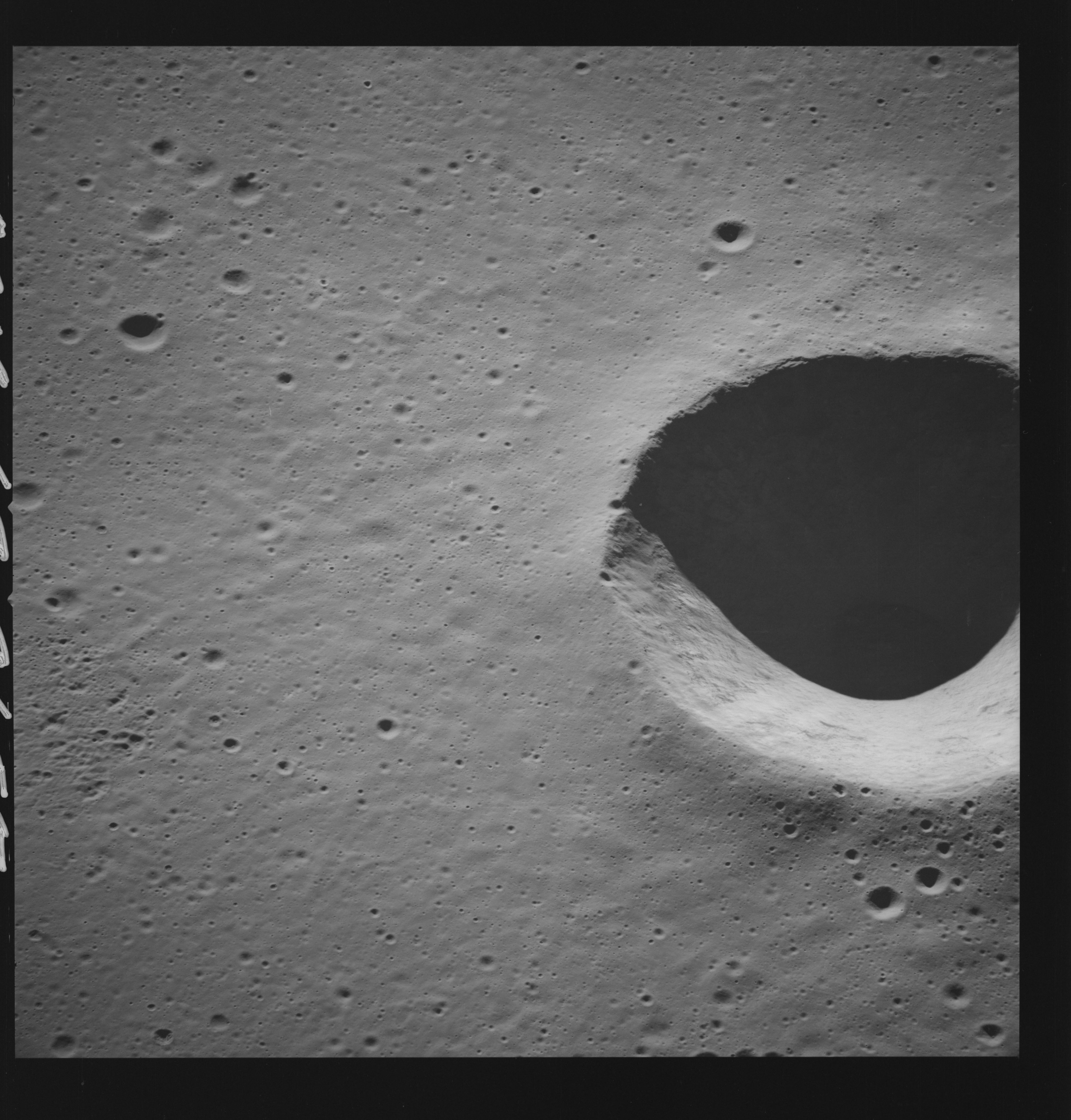 | AS14-69-9655 LANSBERG B AREA Location: 2.5° S, 28° W Image credit: National Archives and Records Administration |
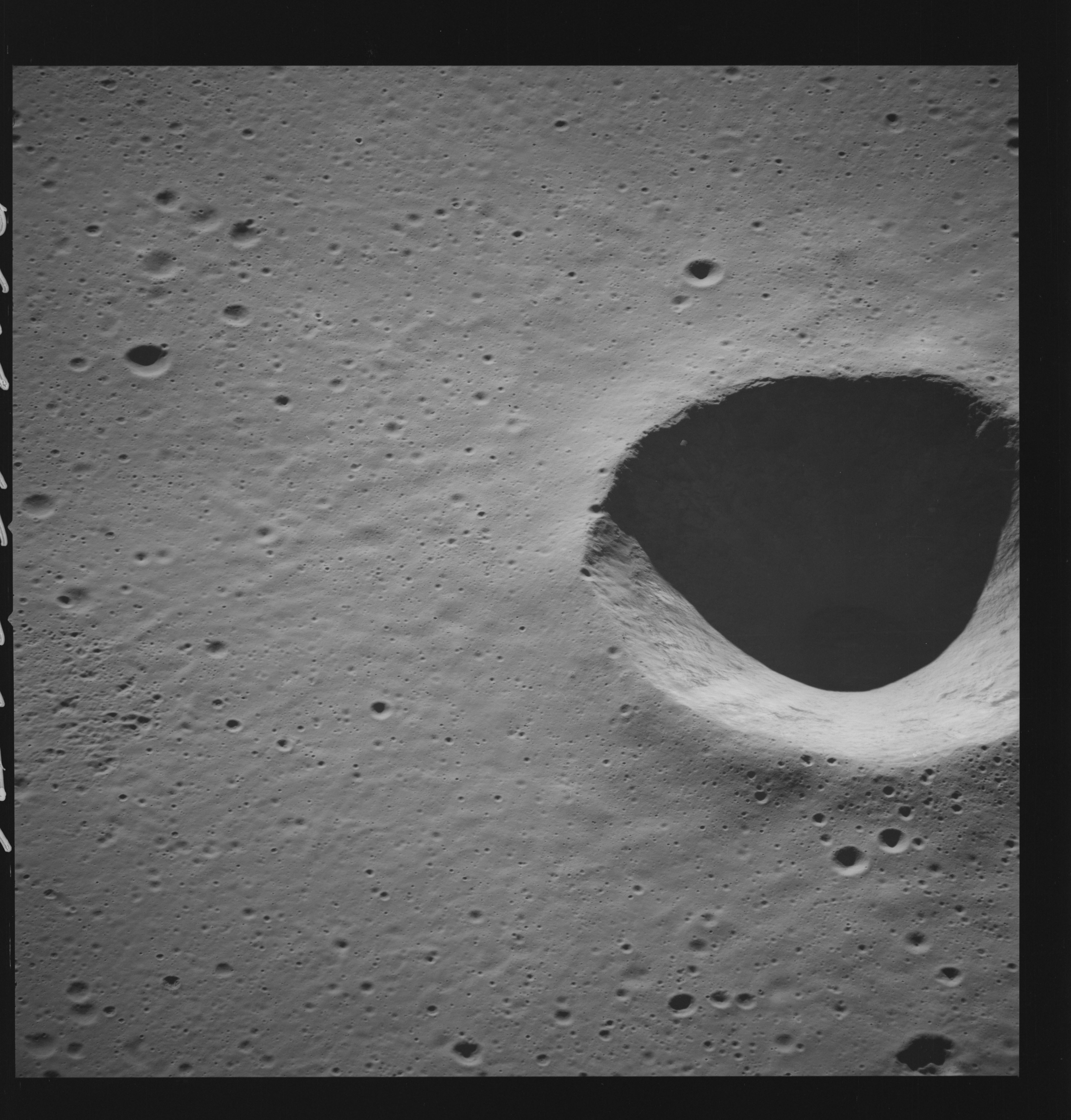 | AS14-69-9656 LANSBERG B AREA Location: 2.5° S, 28° W Image credit: National Archives and Records Administration |
| | |
| 70-mm magazine MM - AS14-68-9393 to 9492 | Photography Index | 70-mm magazine Q - AS14-70-9657 to 9840 |