
 |  |  |
| 70-mm magazine P - AS14-69-9493 to 9656 | Photography Index | 70-mm magazine T - AS14-71-9841 to 9917 |
No copyright is asserted for NASA photographs. If a recognizable person appears in a photo, use for commercial purposes may infringe a right of privacy or publicity. Photos may not be used to state or imply the endorsement by NASA or by any NASA employee of a commercial product, process or service, or used in any other manner that might mislead. Accordingly, it is requested that if a NASA photograph is used in advertising and other commercial promotion, layout and copy be submitted to NASA prior to release. NASA photos reproduced from this archive should include photo credit to "NASA" or "National Aeronautics and Space Administration" and should include scanning credit to the appropriate individuals or agencies as noted in the captions.
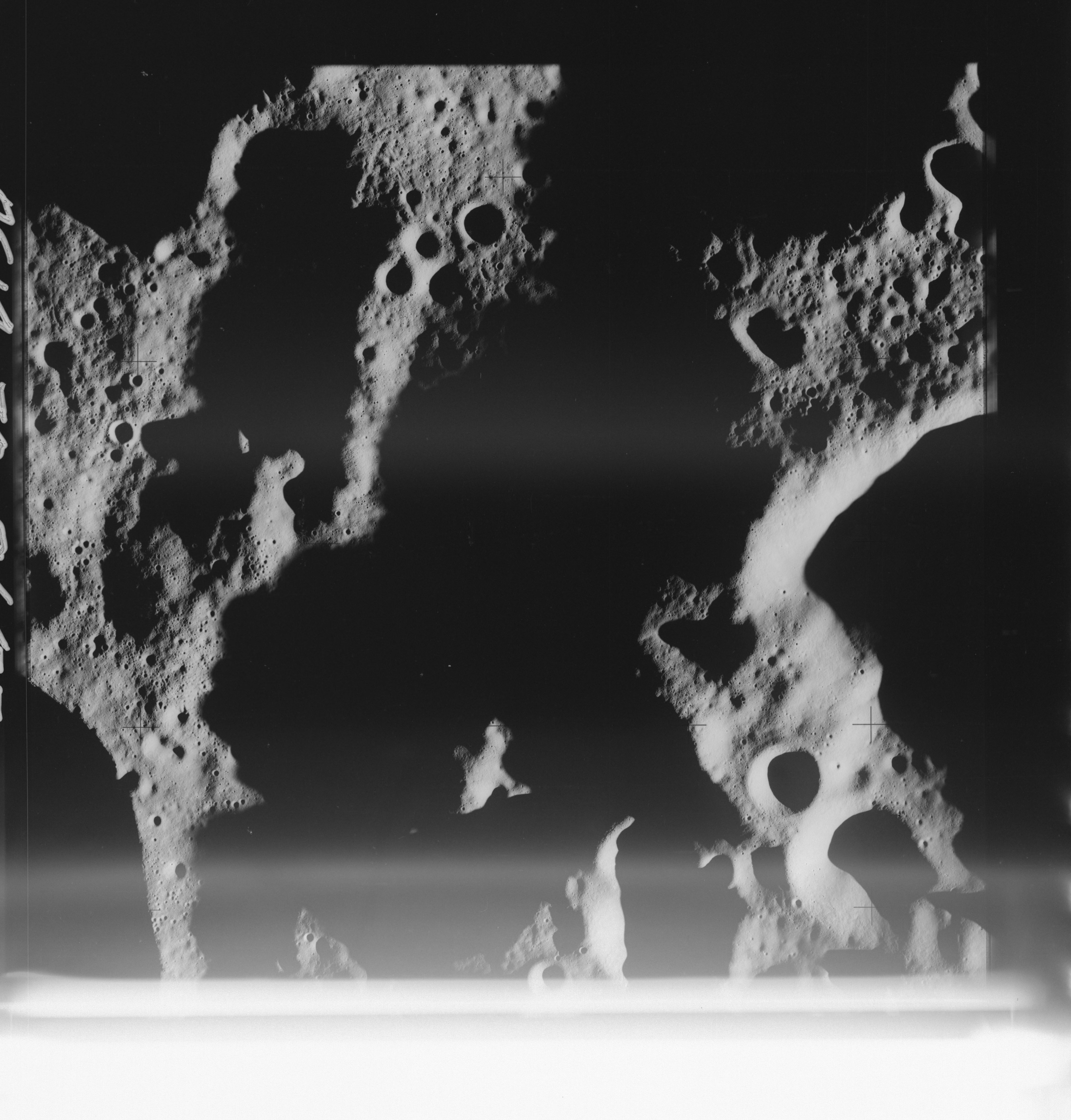 | AS14-70-9657 PRAGER, East of Location: 4.5° S, 135° E Image credit: National Archives and Records Administration |
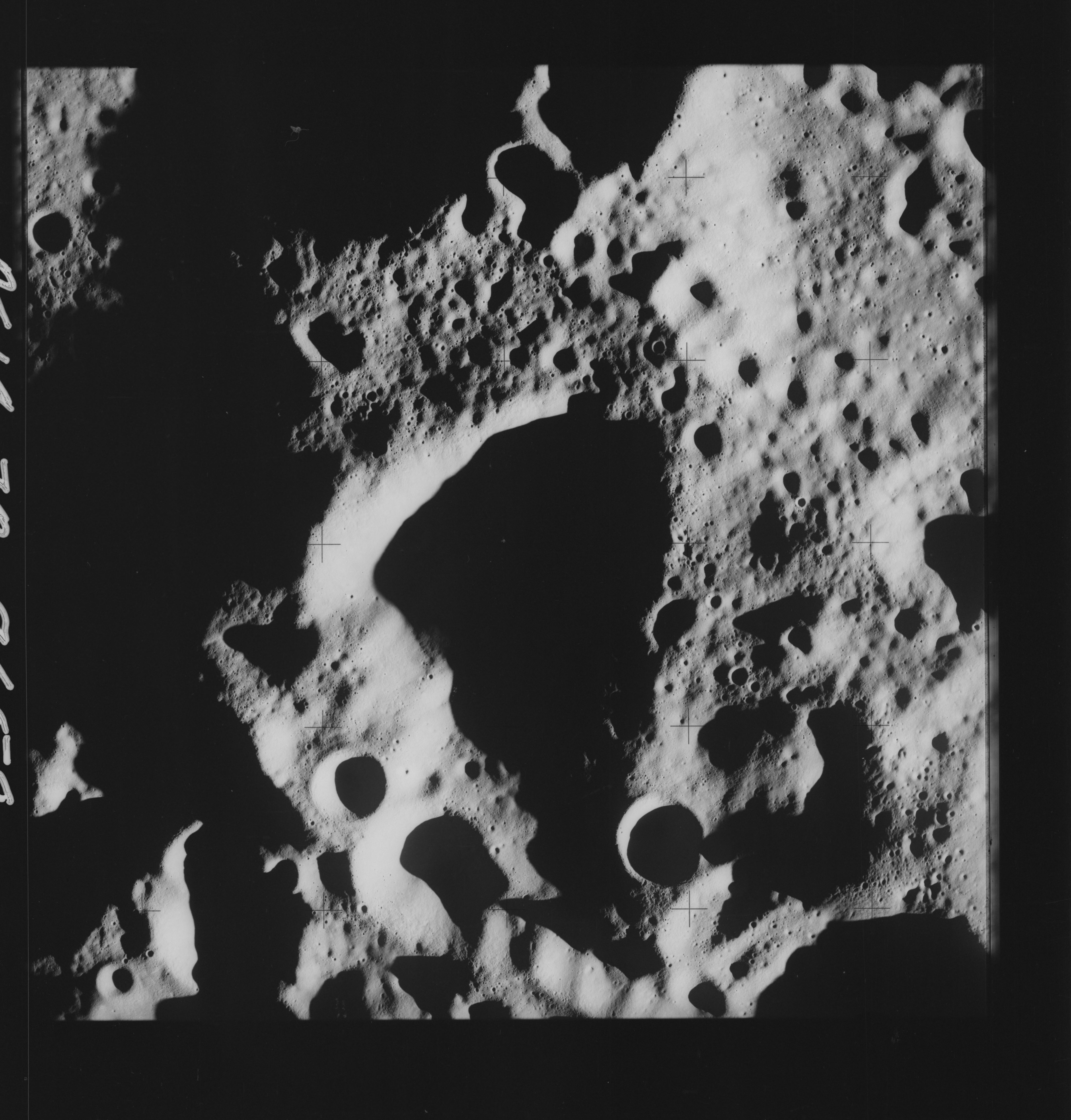 | AS14-70-9658 PRAGER, East of Location: 4.5° S, 135° E Image credit: National Archives and Records Administration |
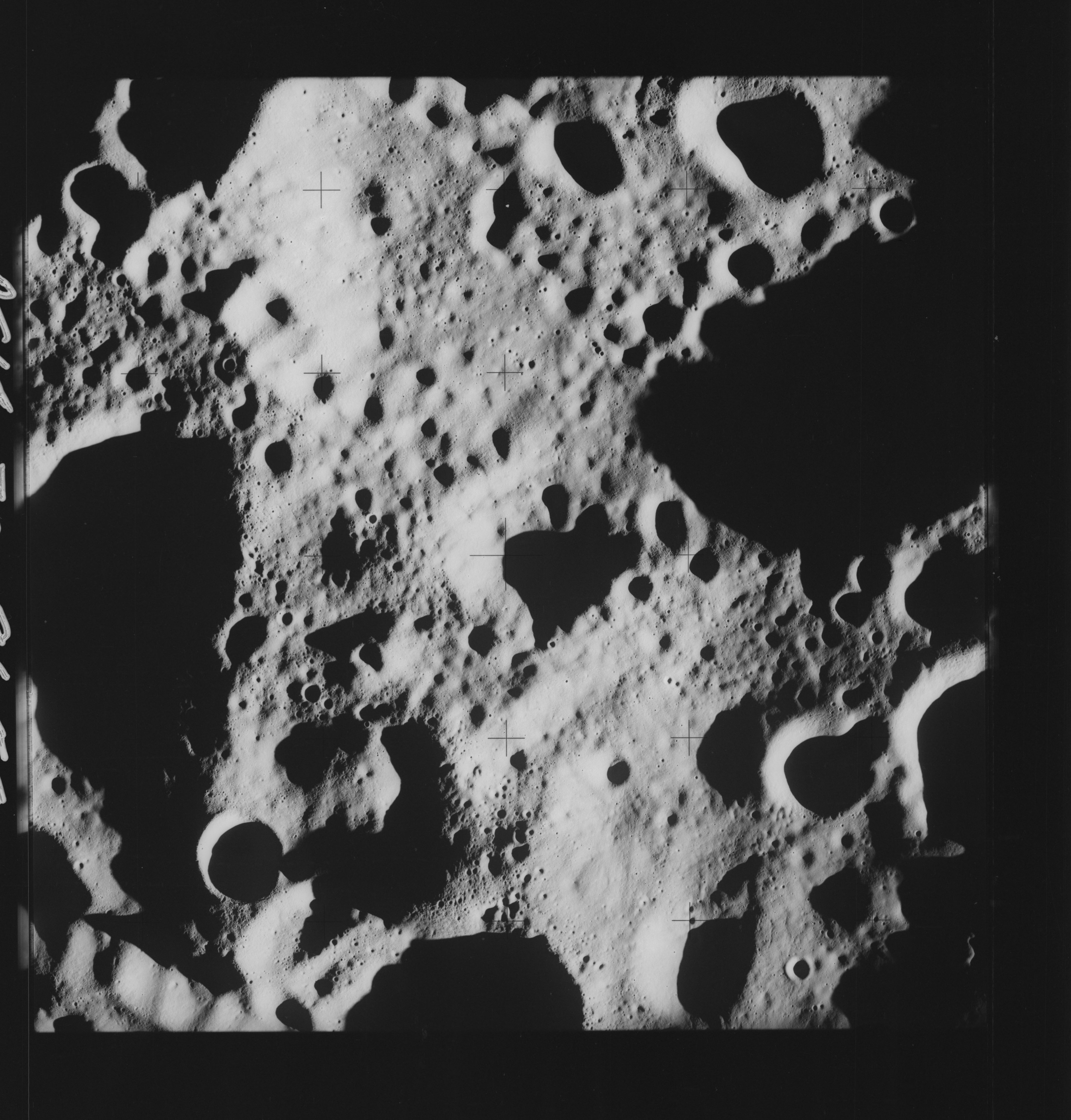 | AS14-70-9659 PRAGER, East of Location: 4.5° S, 134° E Image credit: National Archives and Records Administration |
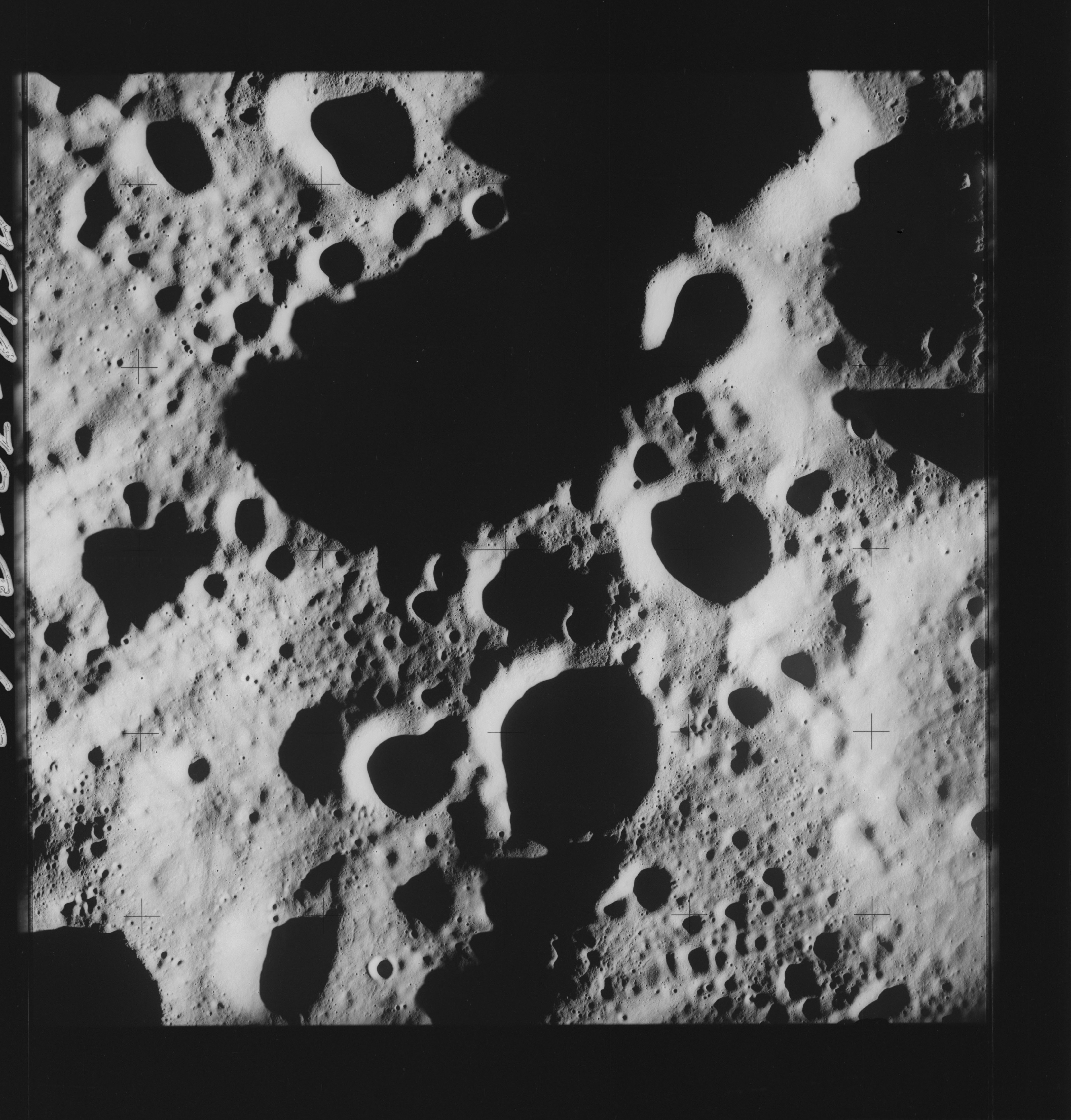 | AS14-70-9660 PRAGER Location: 4.5° S, 133° E Image credit: National Archives and Records Administration |
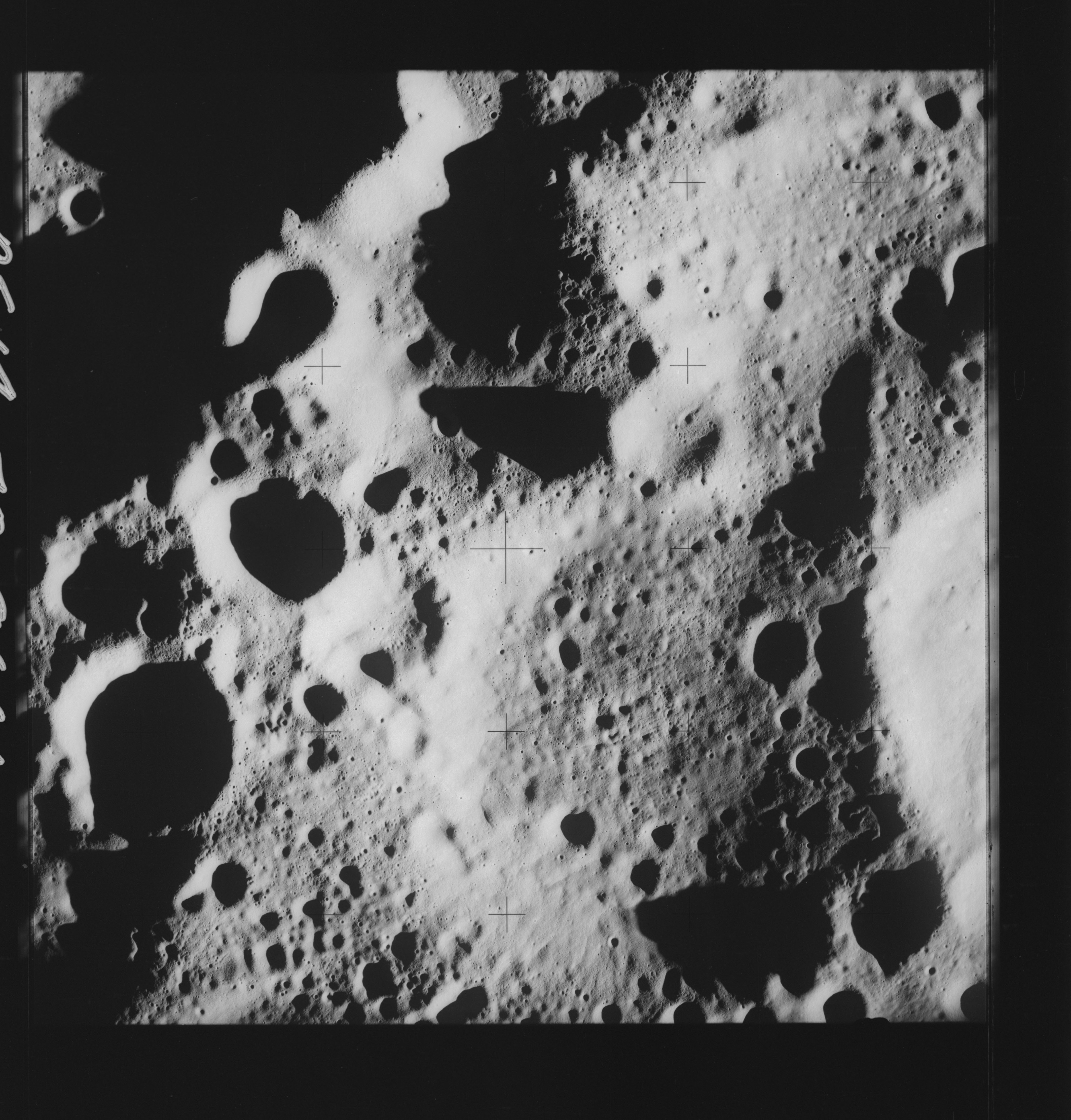 | AS14-70-9661 PRAGER Location: 4.5° S, 132° E Image credit: National Archives and Records Administration |
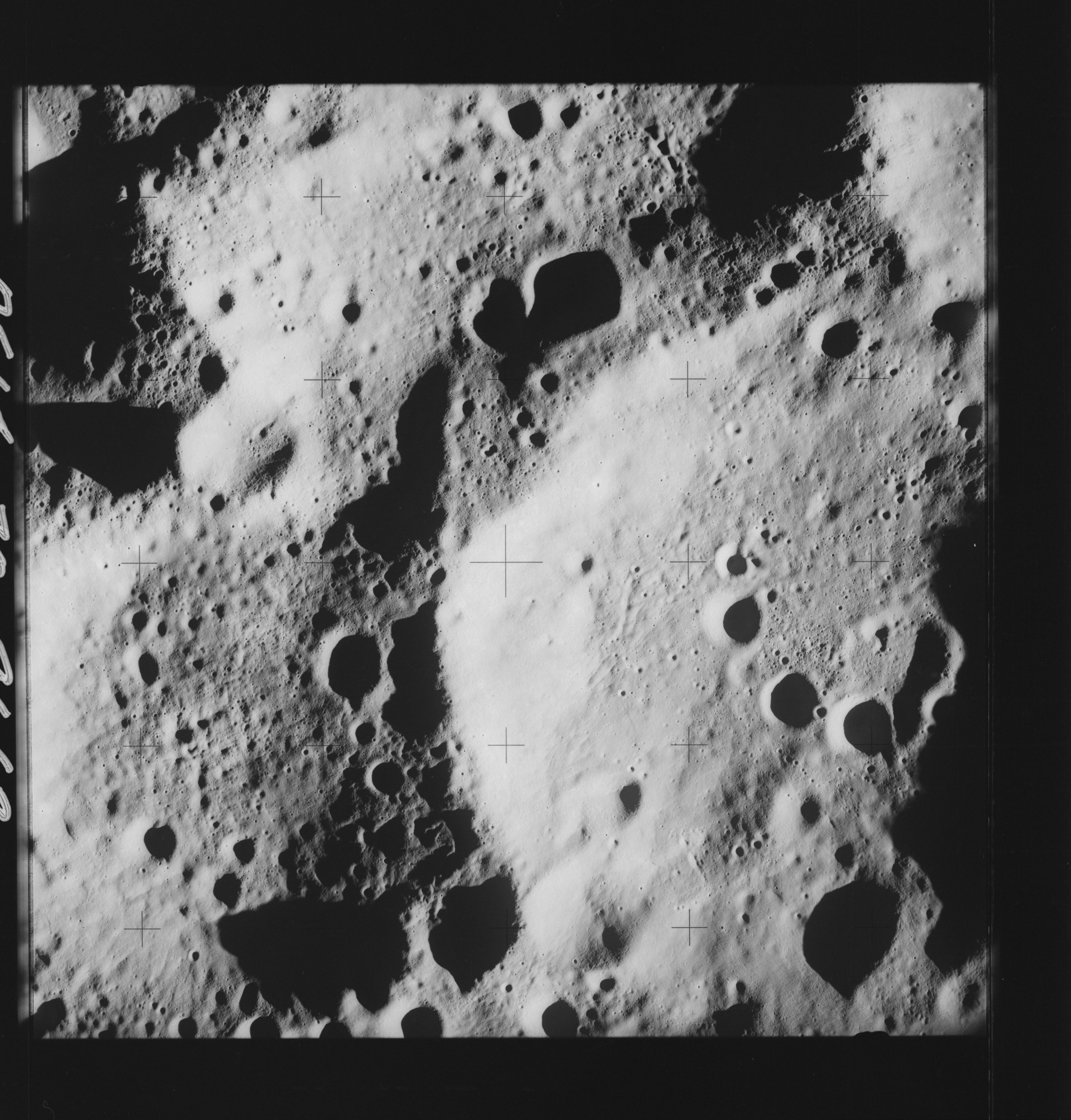 | AS14-70-9662 PRAGER Location: 4° S, 131° E Image credit: National Archives and Records Administration |
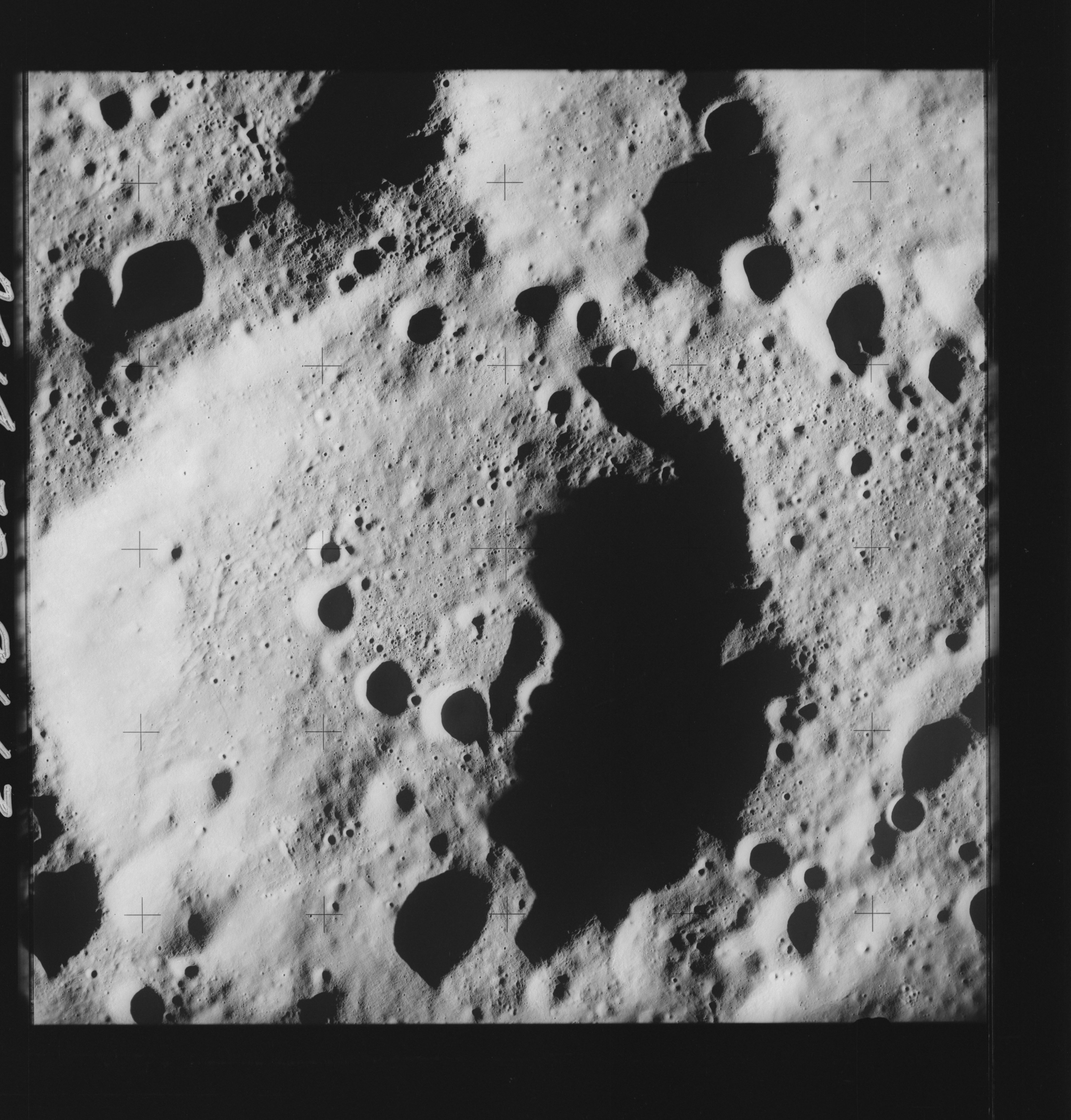 | AS14-70-9663 LOVE, PRAGER Location: 4° S, 130° E Image credit: National Archives and Records Administration |
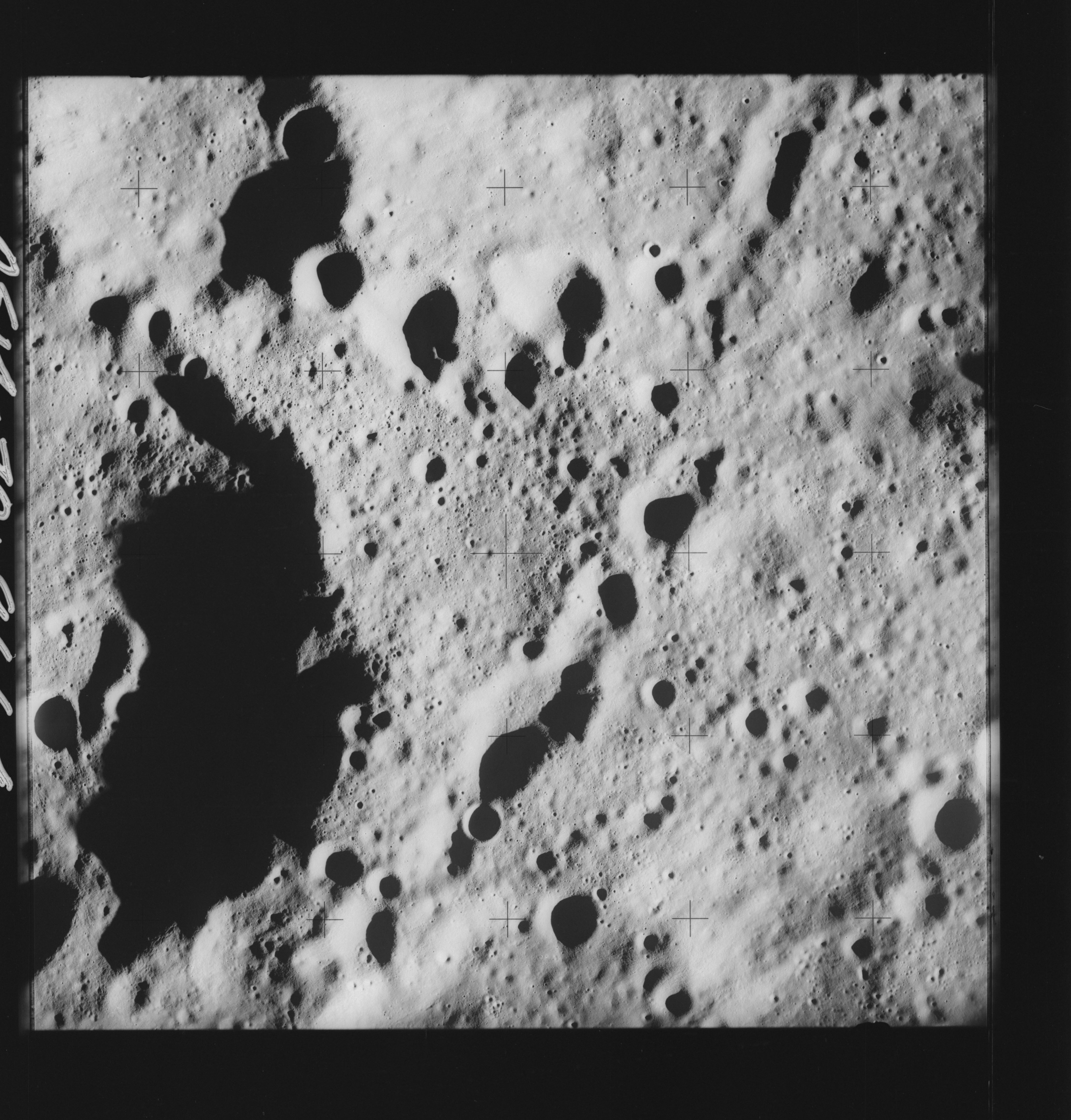 | AS14-70-9664 LOVE, PRAGER Location: 4° S, 129.5° E Image credit: National Archives and Records Administration |
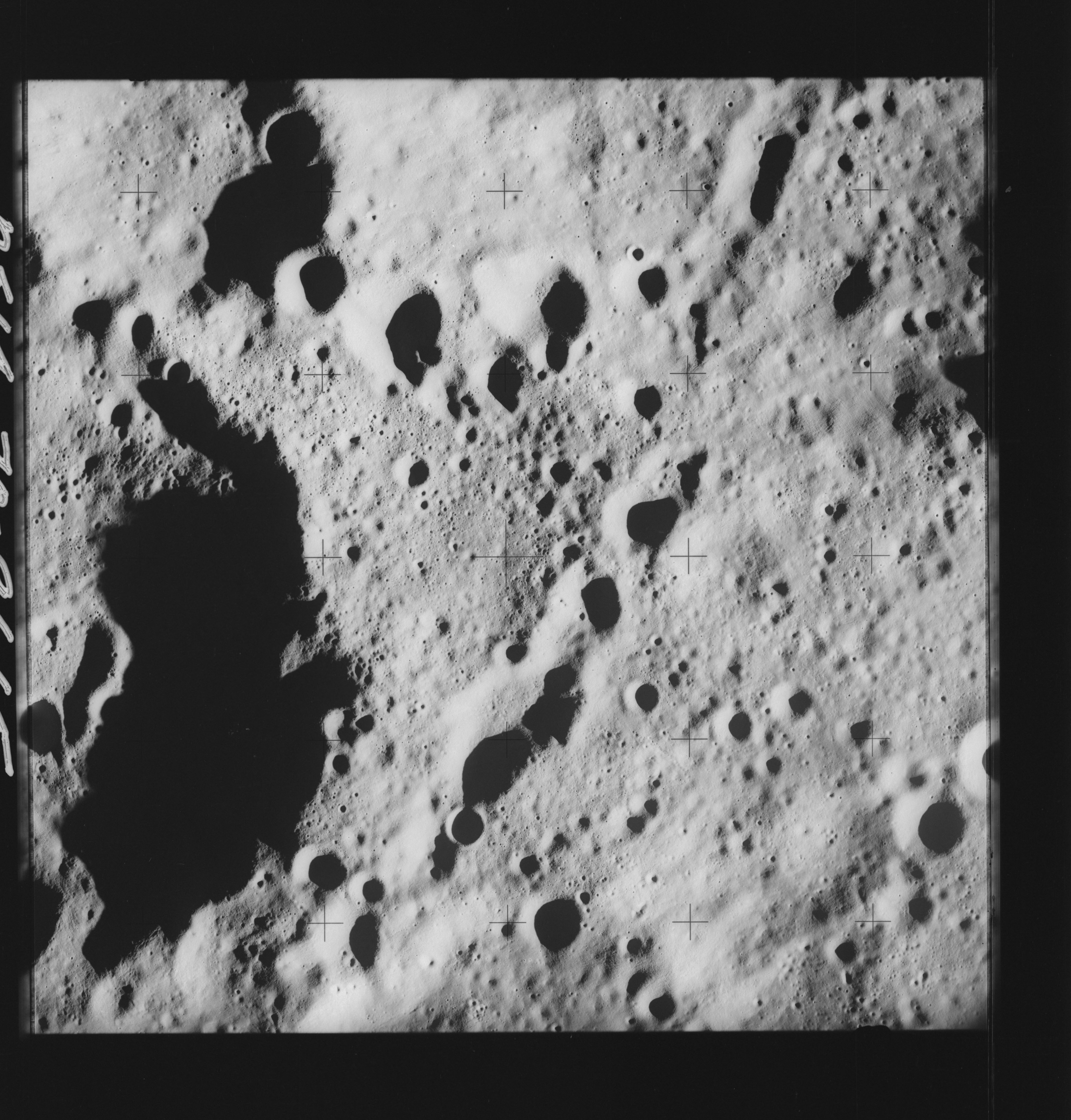 | AS14-70-9665 PRAGER, East of Location: 4.5° S, 128.5° E Image credit: National Archives and Records Administration |
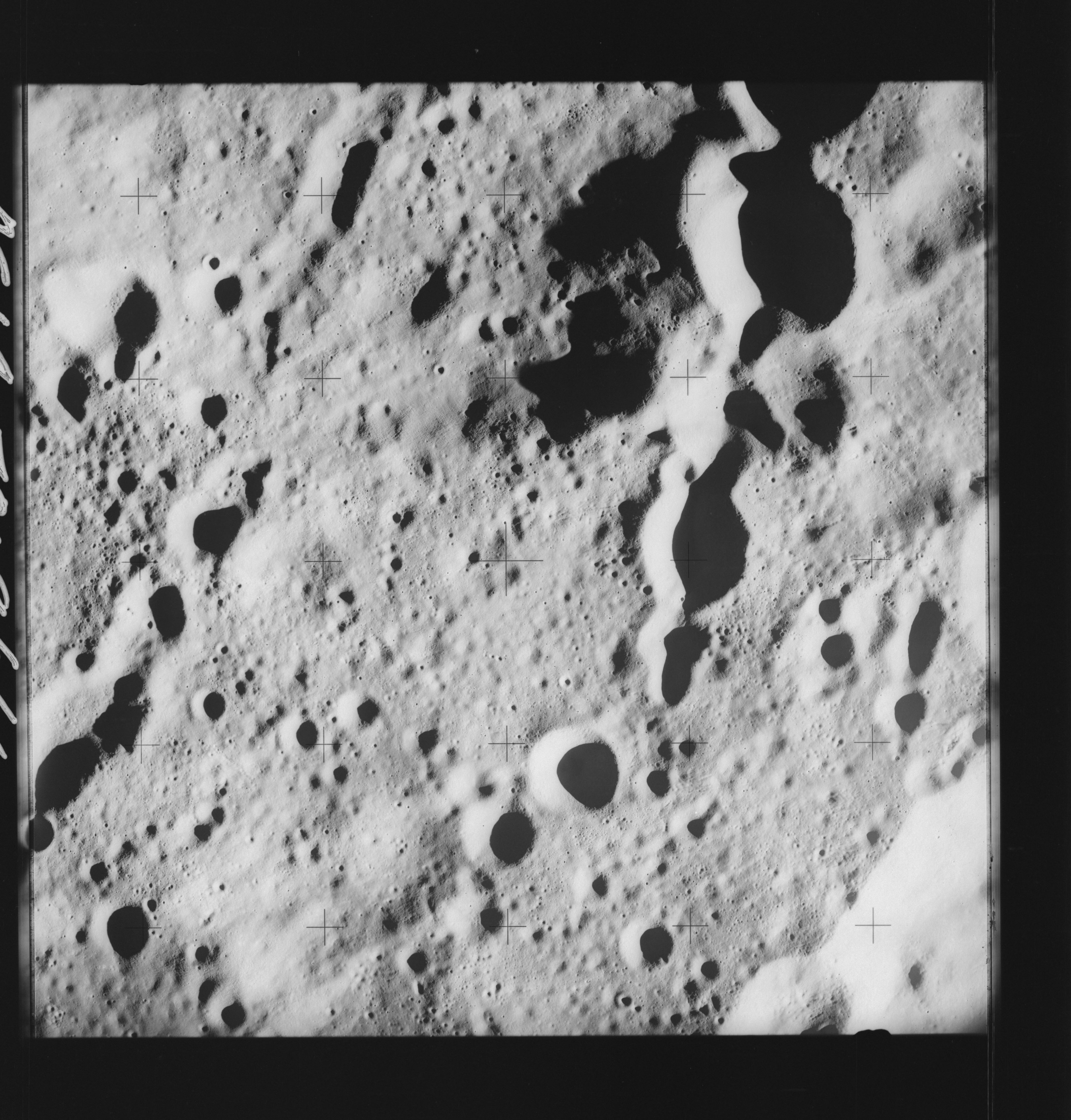 | AS14-70-9666 LOVE Location: 4.5° S, 128.5° E Image credit: National Archives and Records Administration |
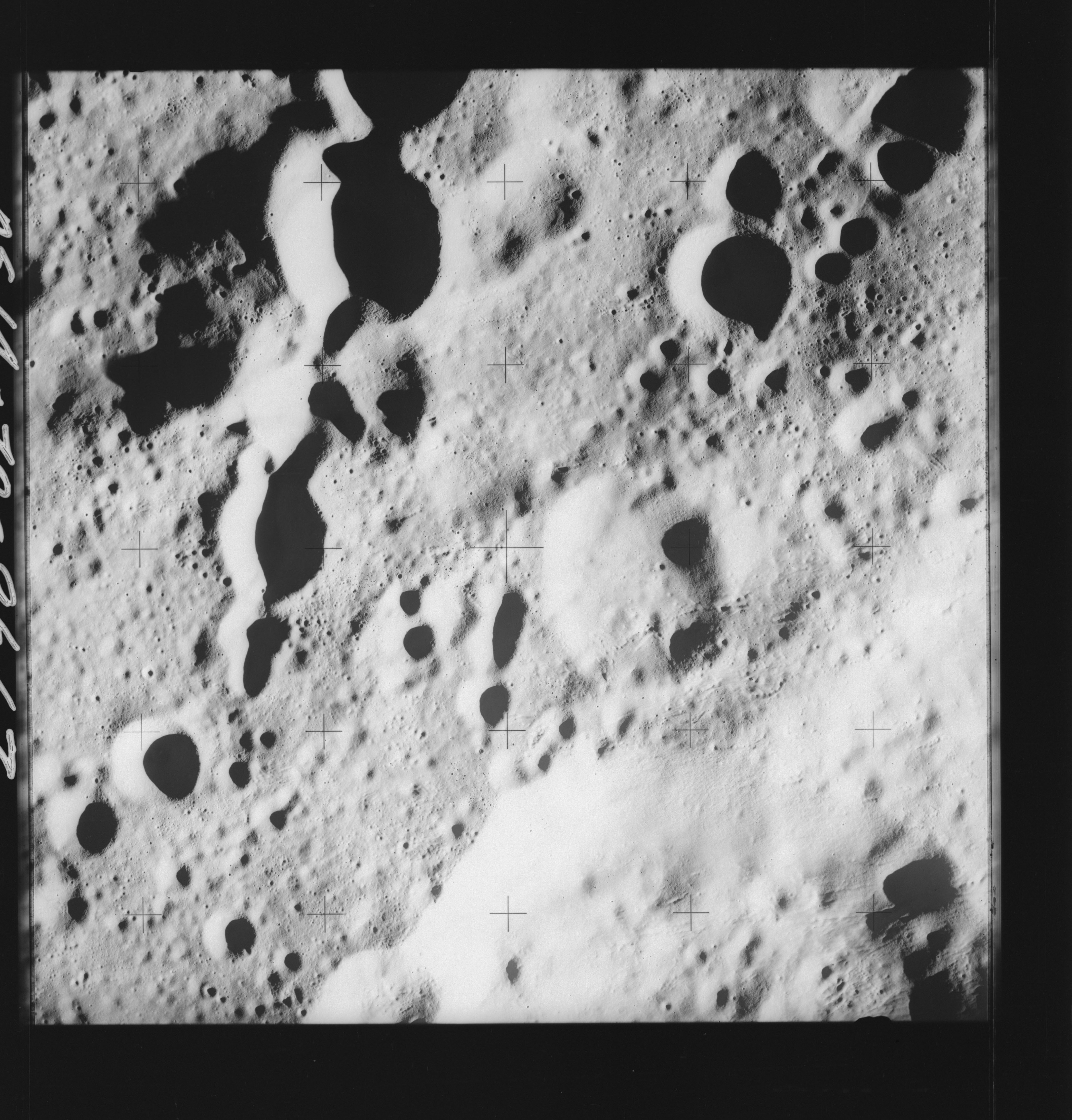 | AS14-70-9667 LOVE Location: 4.5° S, 127° E Image credit: National Archives and Records Administration |
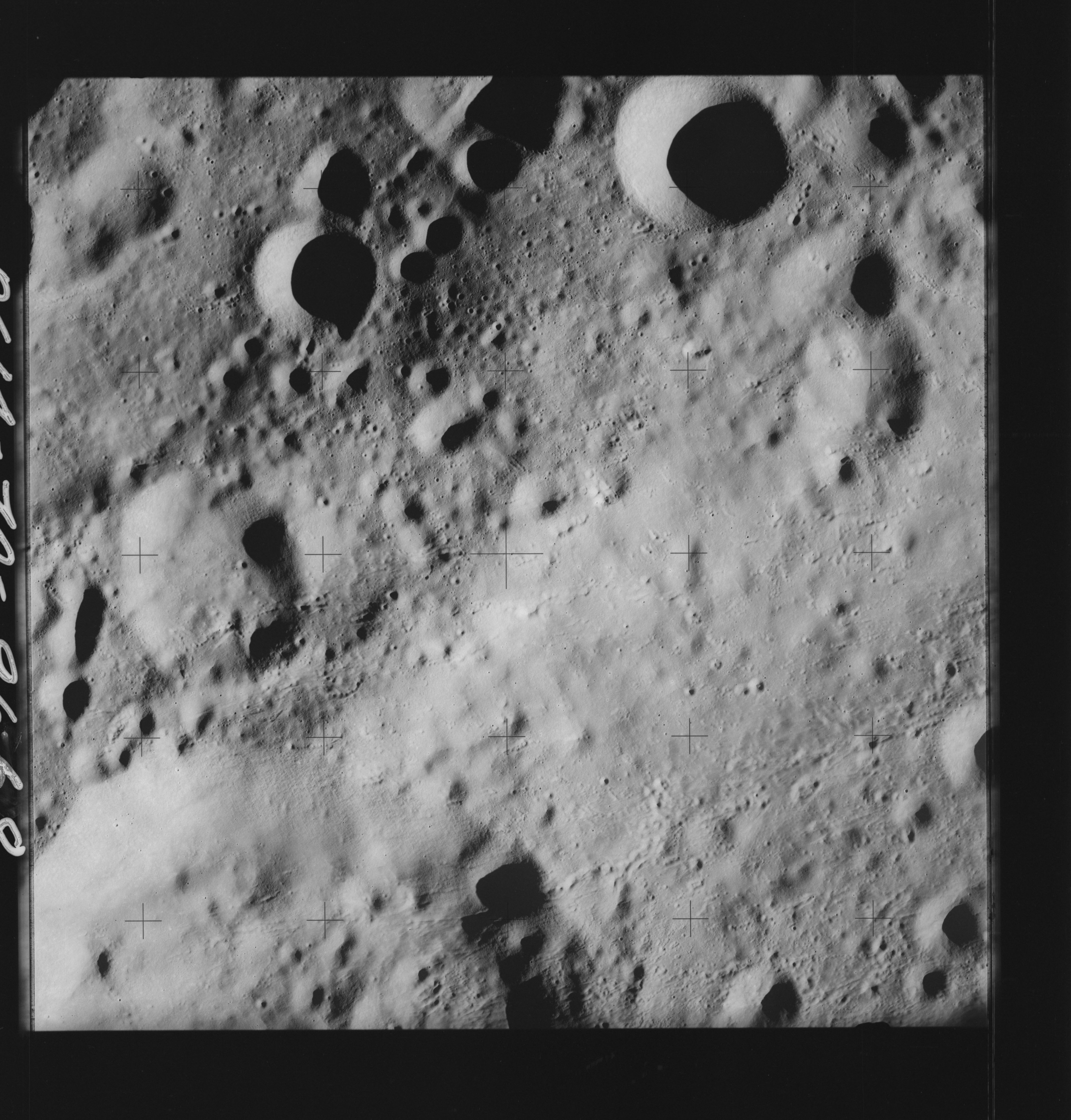 | AS14-70-9668 LOVE, Northwest of Location: 4.5° S, 126° E Image credit: National Archives and Records Administration |
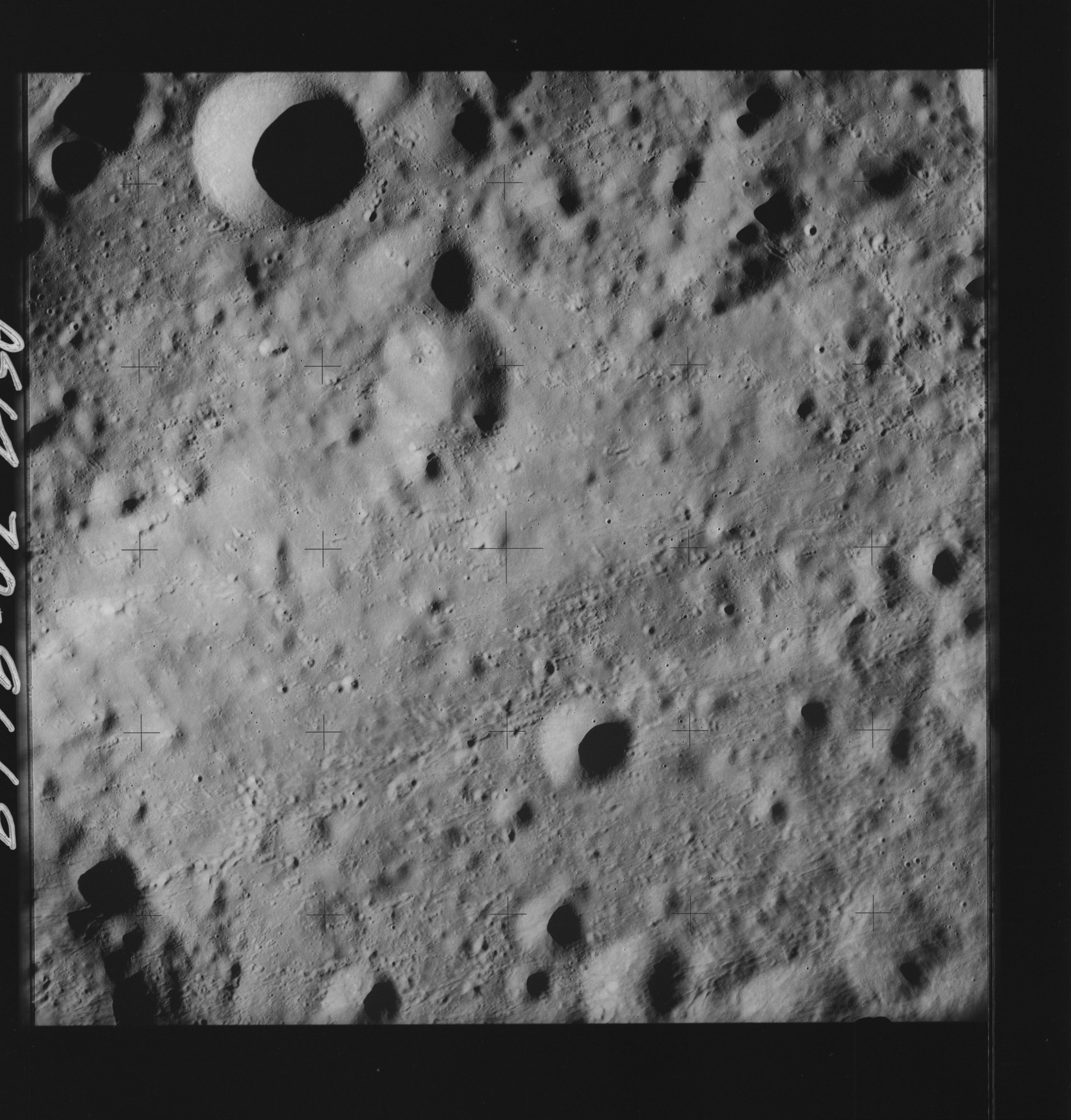 | AS14-70-9669 BECVAR, South of Location: 4.5° S, 125° E Image credit: National Archives and Records Administration |
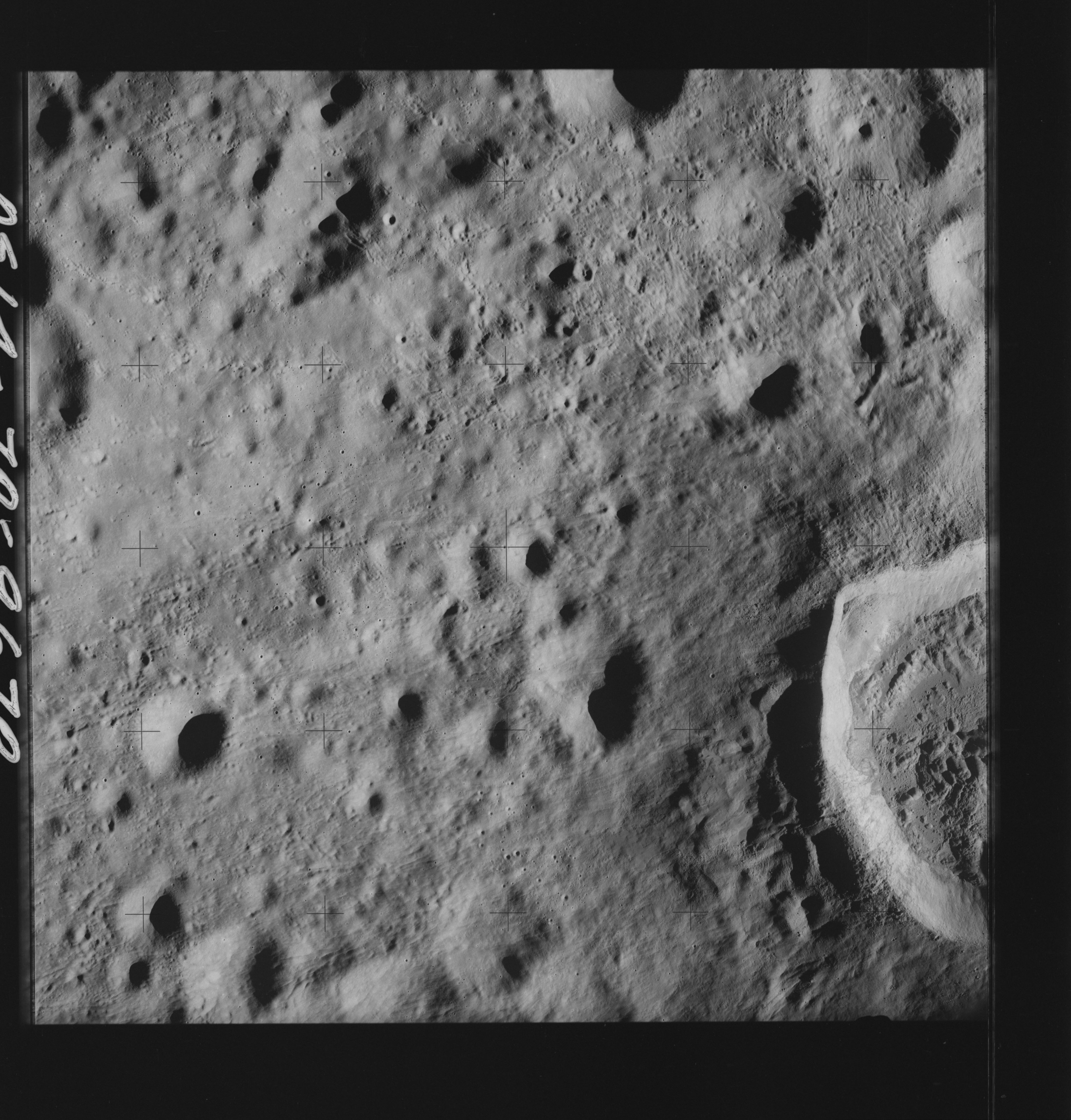 | AS14-70-9670 BECVAR, South of Location: 5.5° S, 124° E Image credit: National Archives and Records Administration |
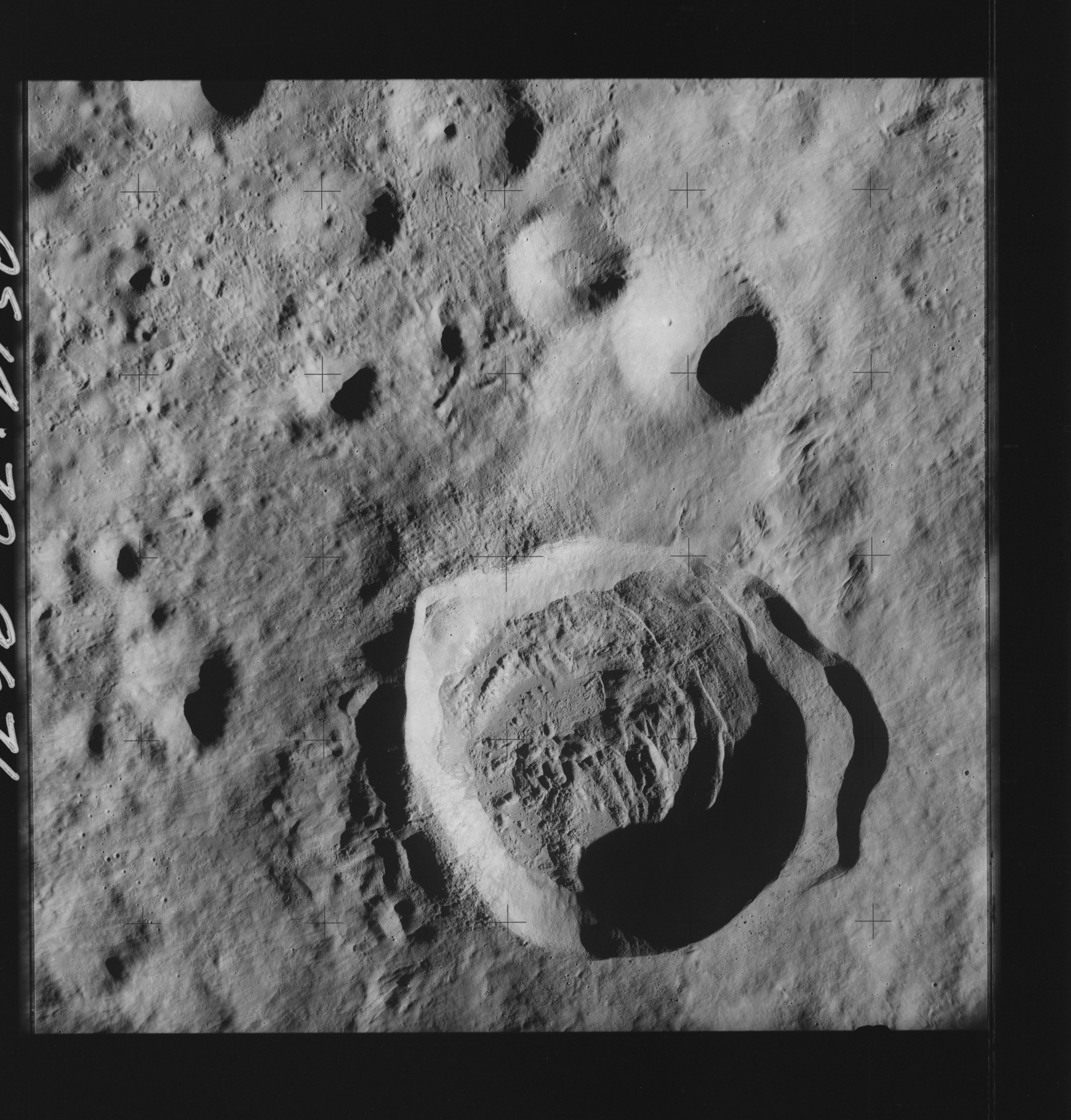 | AS14-70-9671 BECVAR, South of Location: 5.5° S, 123° E Image credit: National Archives and Records Administration |
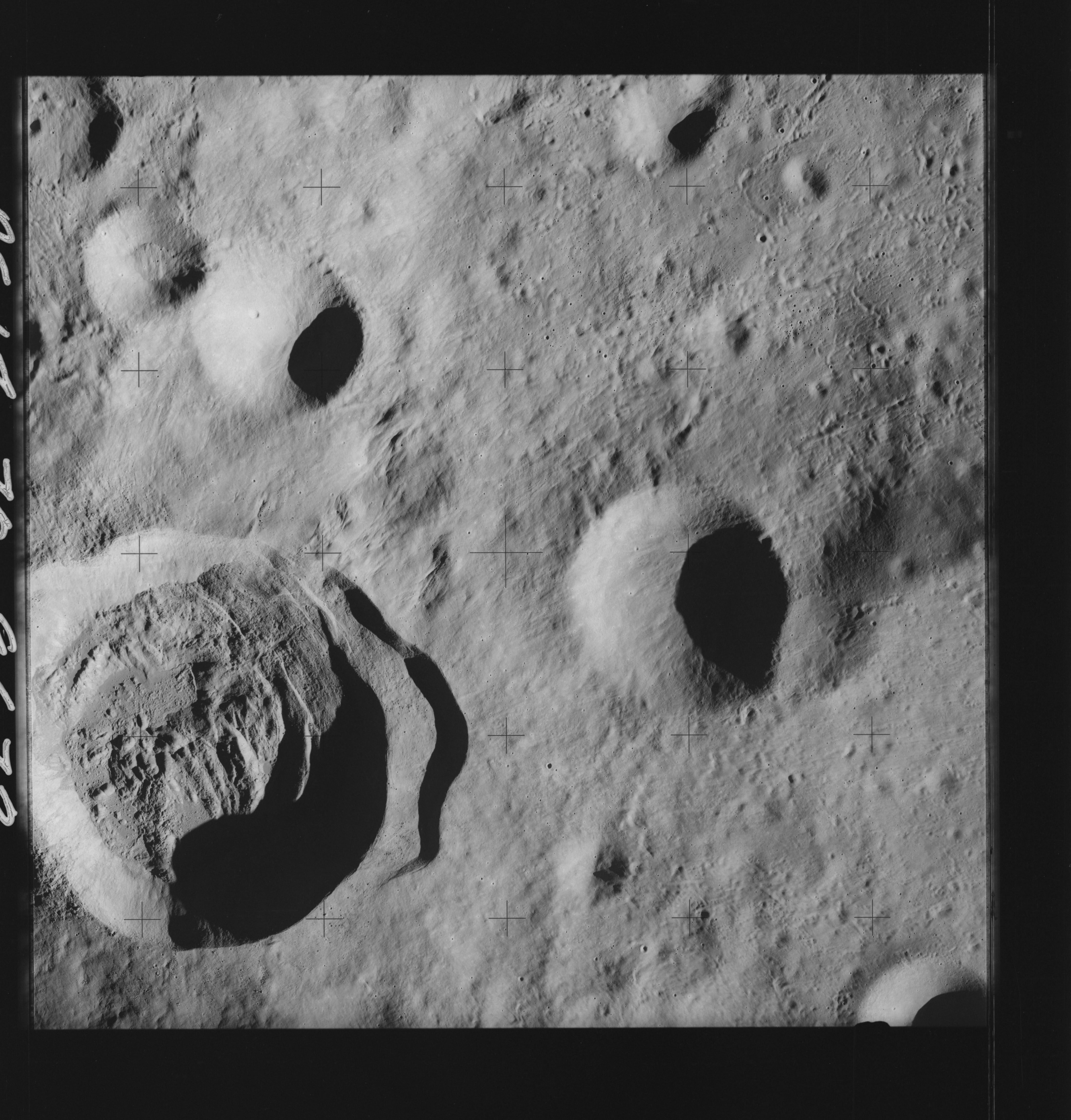 | AS14-70-9672 DANJON, North of; LANGEMAK, North of Location: 6° S, 122° E Image credit: National Archives and Records Administration |
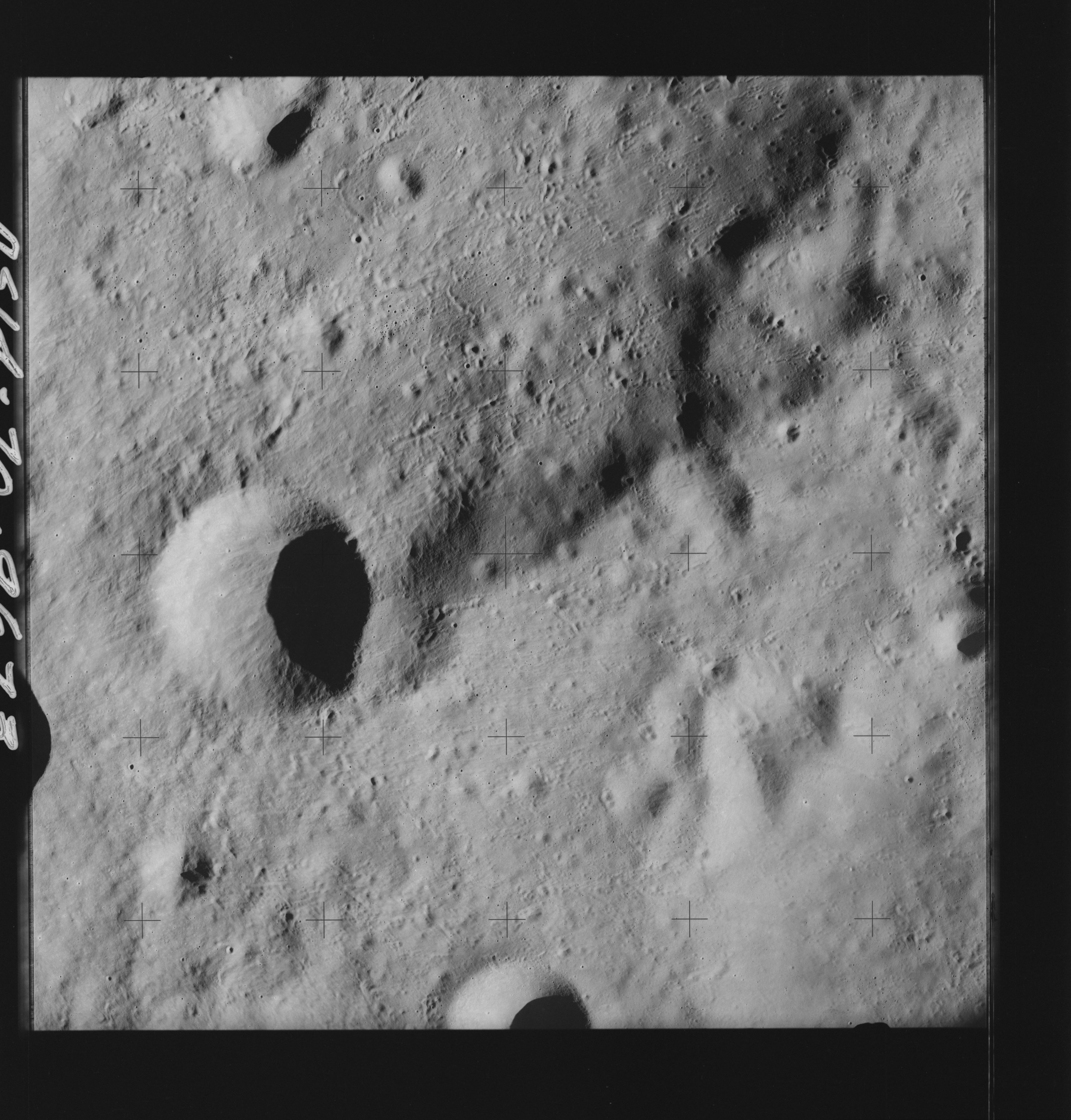 | AS14-70-9673 DANJON, North of; LANGEMAK, North of Location: 6° S, 121° E Image credit: National Archives and Records Administration |
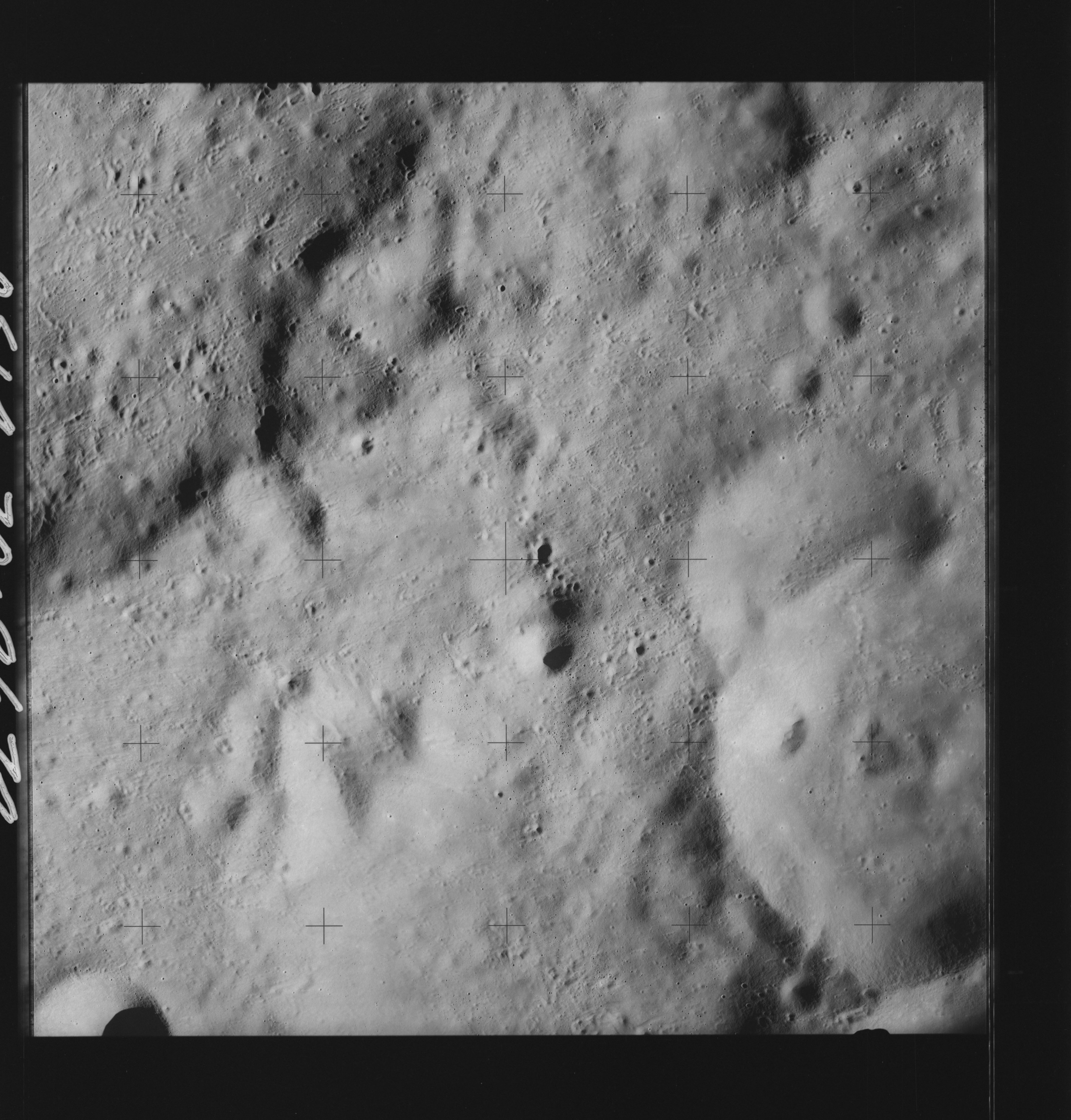 | AS14-70-9674 BECVAR, South of; LANGEMAK, North of Location: 6° S, 120° E Image credit: National Archives and Records Administration |
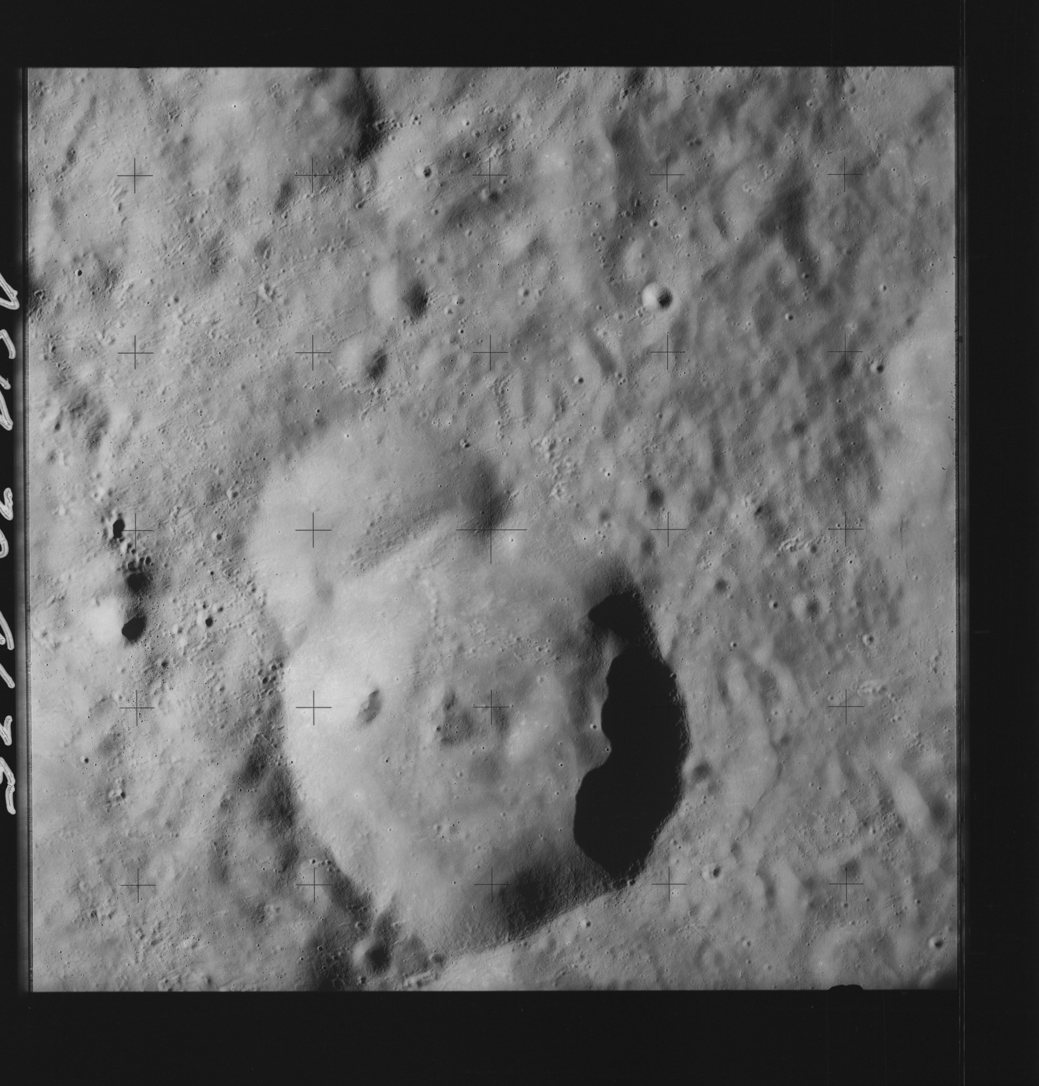 | AS14-70-9675 BECVAR, South of; LANGEMAK, North of Location: 6° S, 119.5° E Image credit: National Archives and Records Administration |
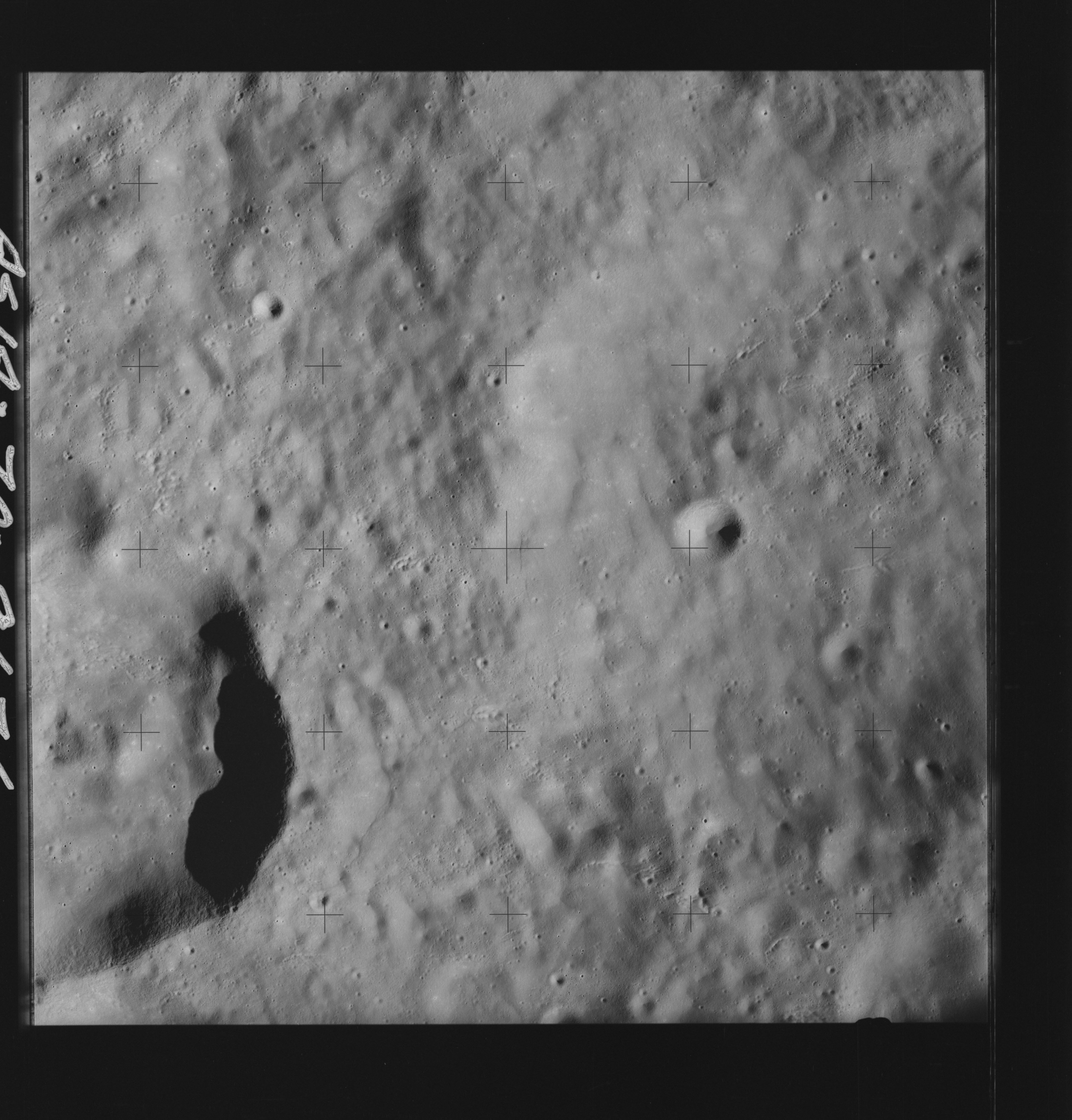 | AS14-70-9676 BECVAR, South of; LANGEMAK, North of Location: 6.5° S, 118.5° E Image credit: National Archives and Records Administration |
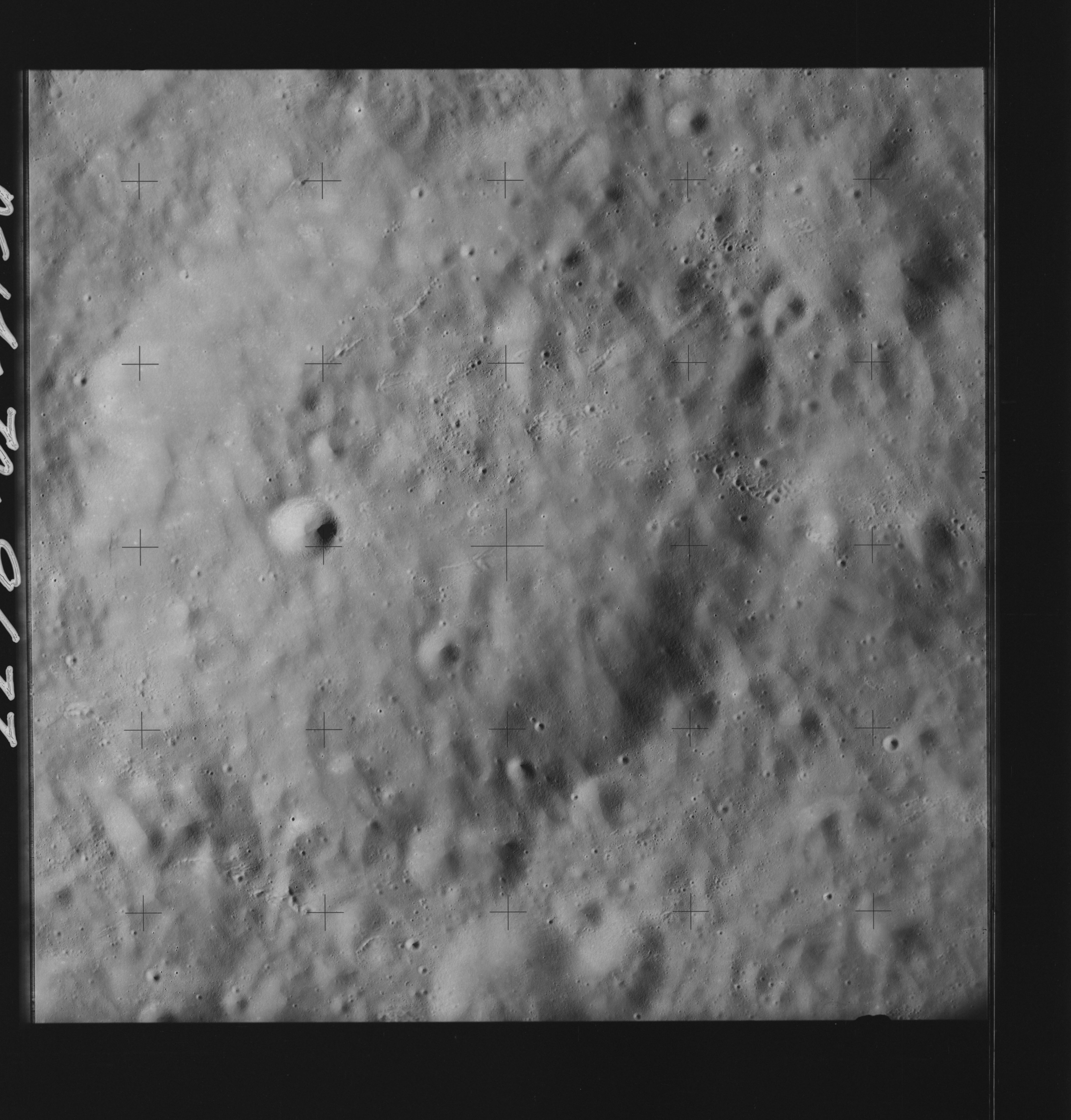 | AS14-70-9677 LANGEMAK, Northwest of; VESALIUS, Southeast of Location: 6.5° S, 117.5° E Image credit: National Archives and Records Administration |
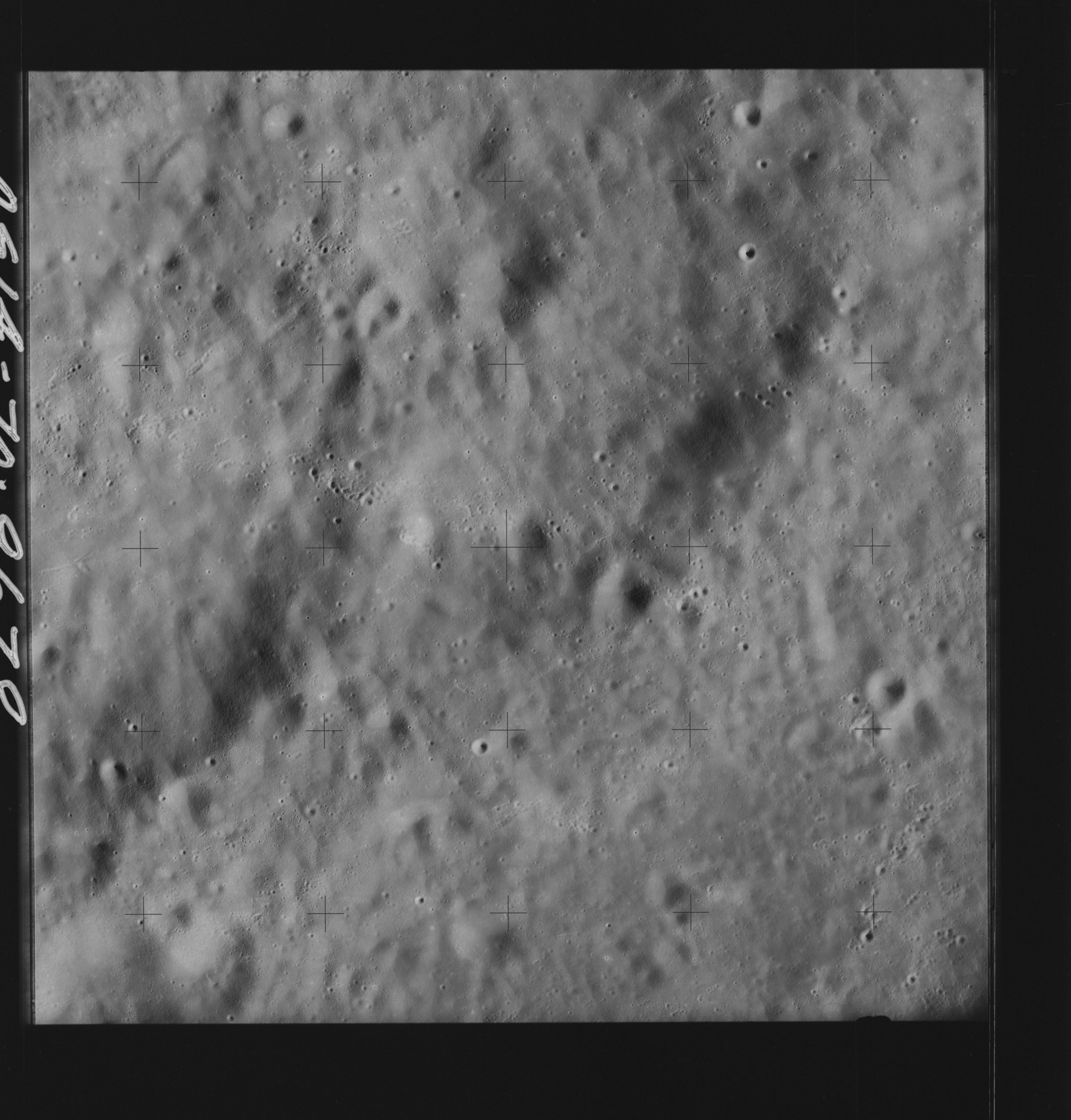 | AS14-70-9678 LANGEMAK, Northwest of; VESALIUS, Southeast of Location: 6.5° S, 116.5° E Image credit: National Archives and Records Administration |
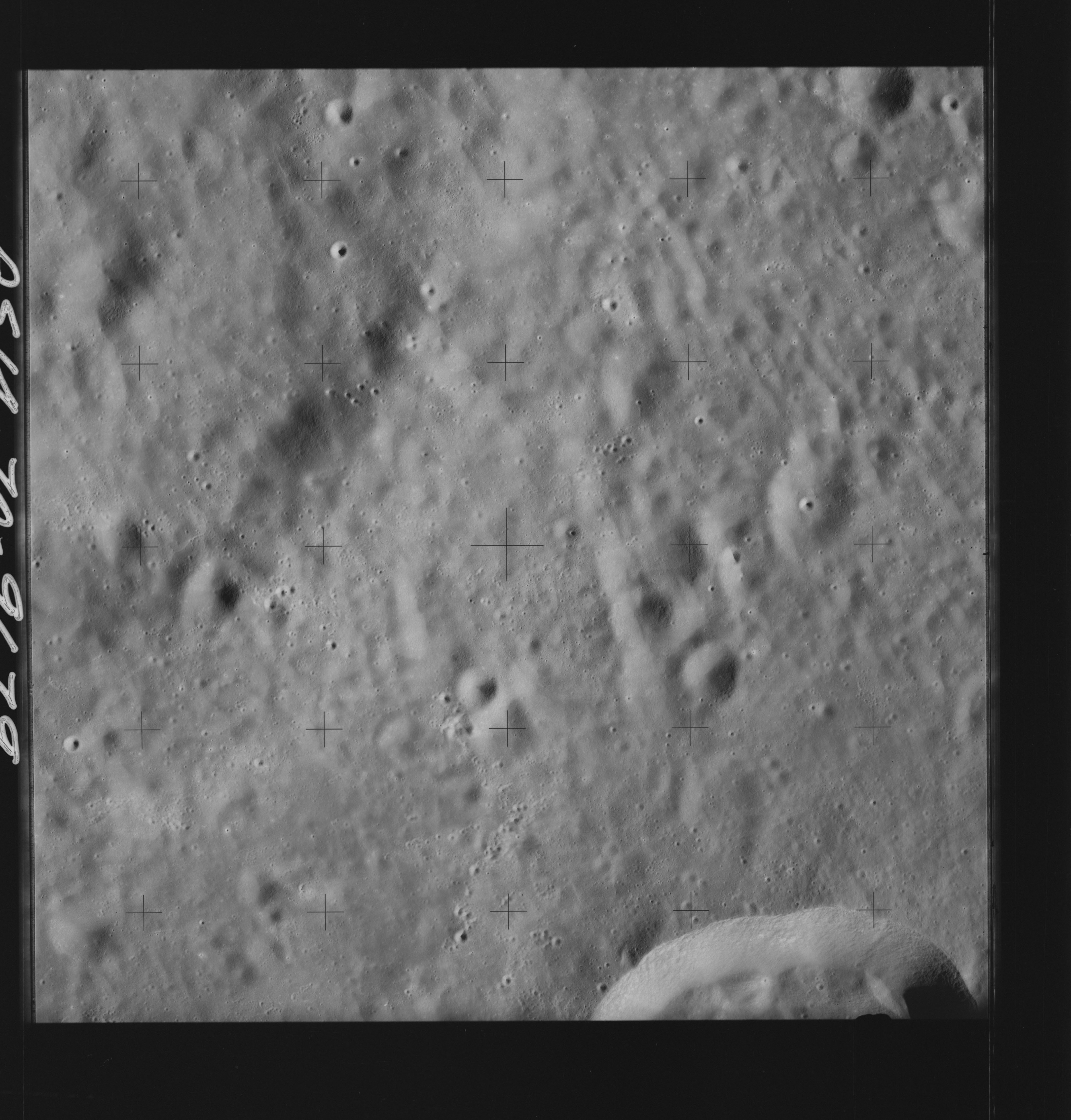 | AS14-70-9679 MEITNER, North of; VESALIUS, South of Location: 6.5° S, 116° E Image credit: National Archives and Records Administration |
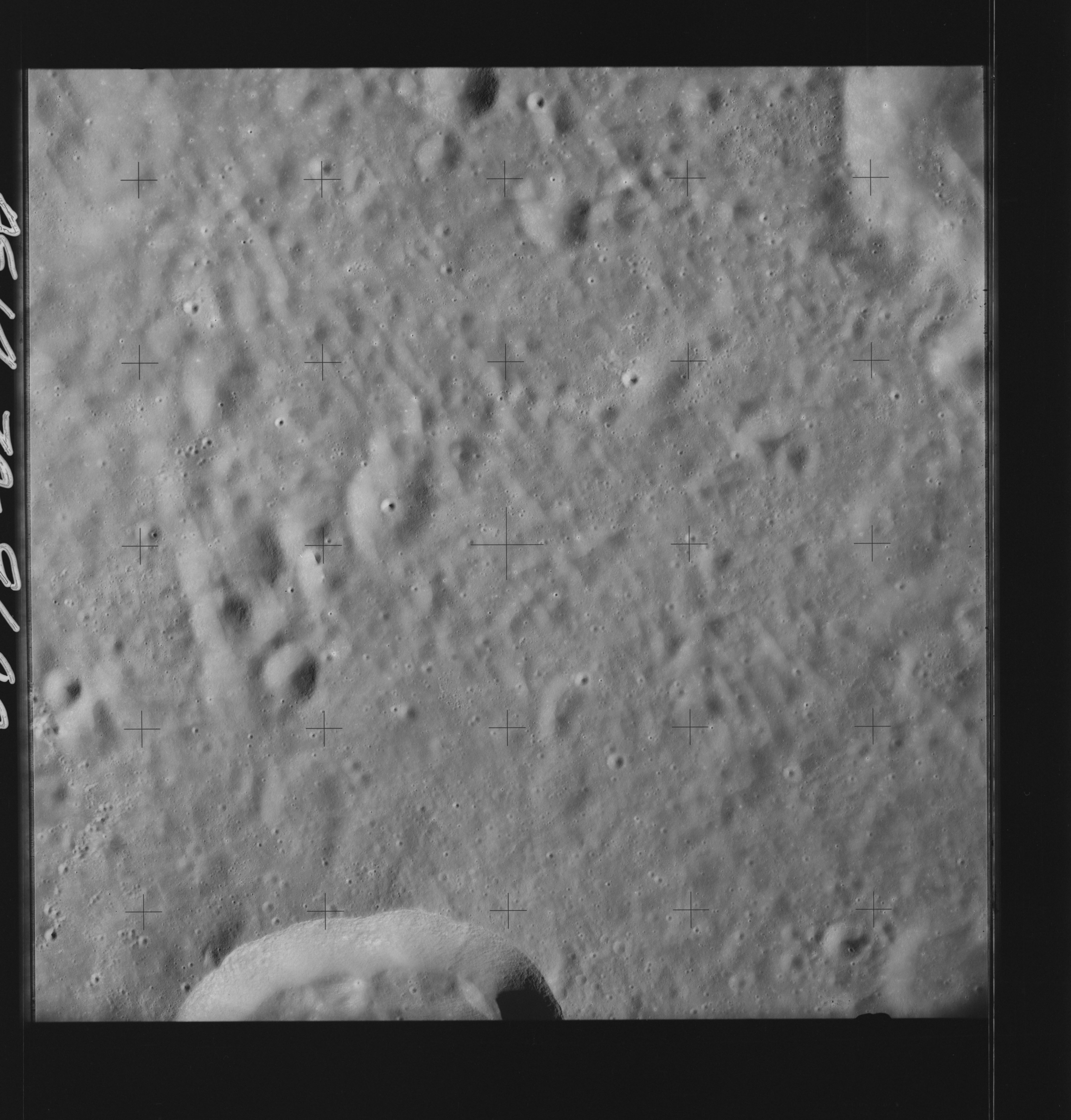 | AS14-70-9680 MEITNER, North of; VESALIUS, South of Location: 7° S, 115° E Image credit: National Archives and Records Administration |
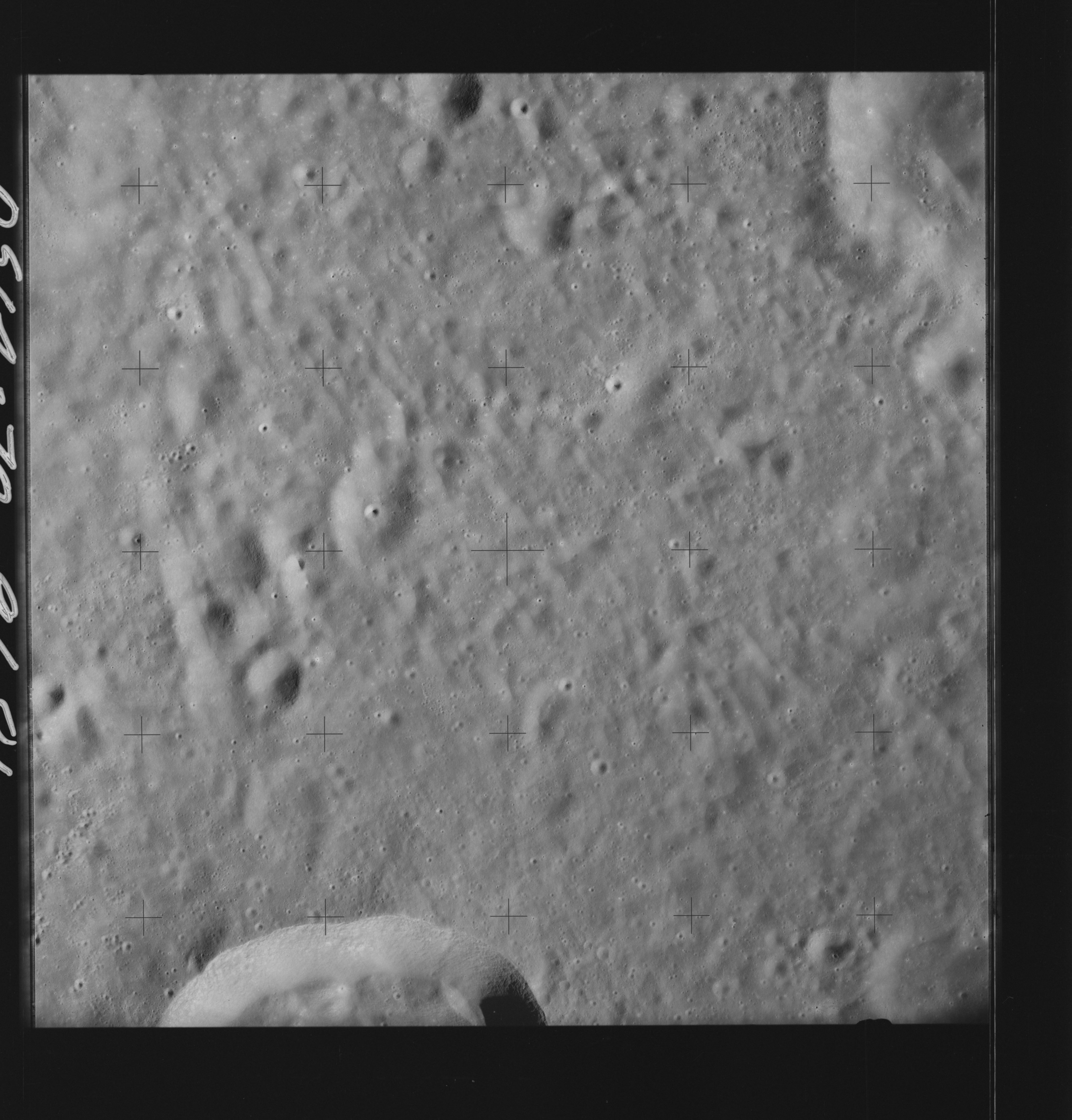 | AS14-70-9681 MEITNER, North of; VESALIUS, South of Location: 7° S, 114° E Image credit: National Archives and Records Administration |
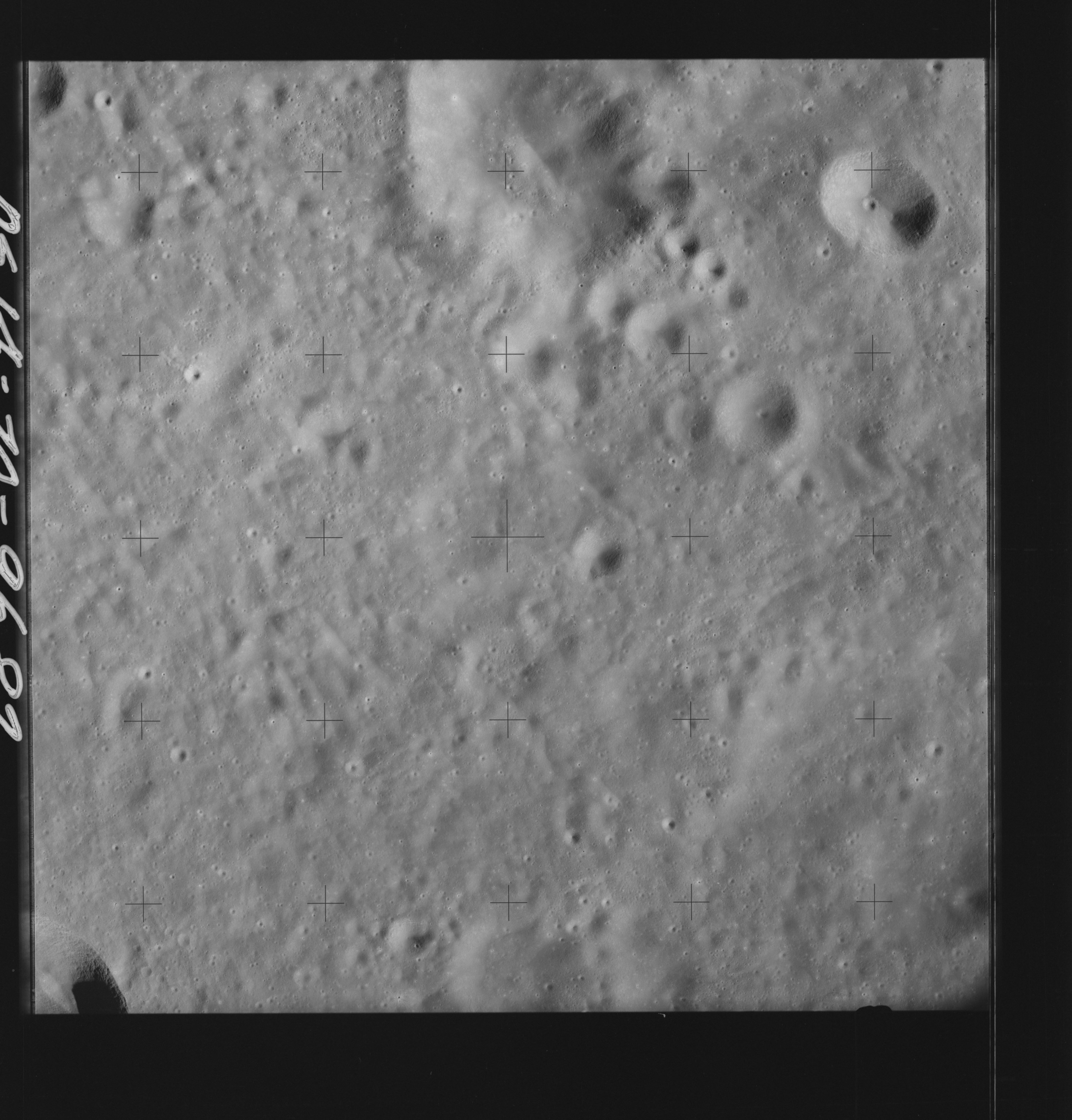 | AS14-70-9682 MEITNER, North of; VESALIUS, South of Location: 7.5° S, 113° E Image credit: National Archives and Records Administration |
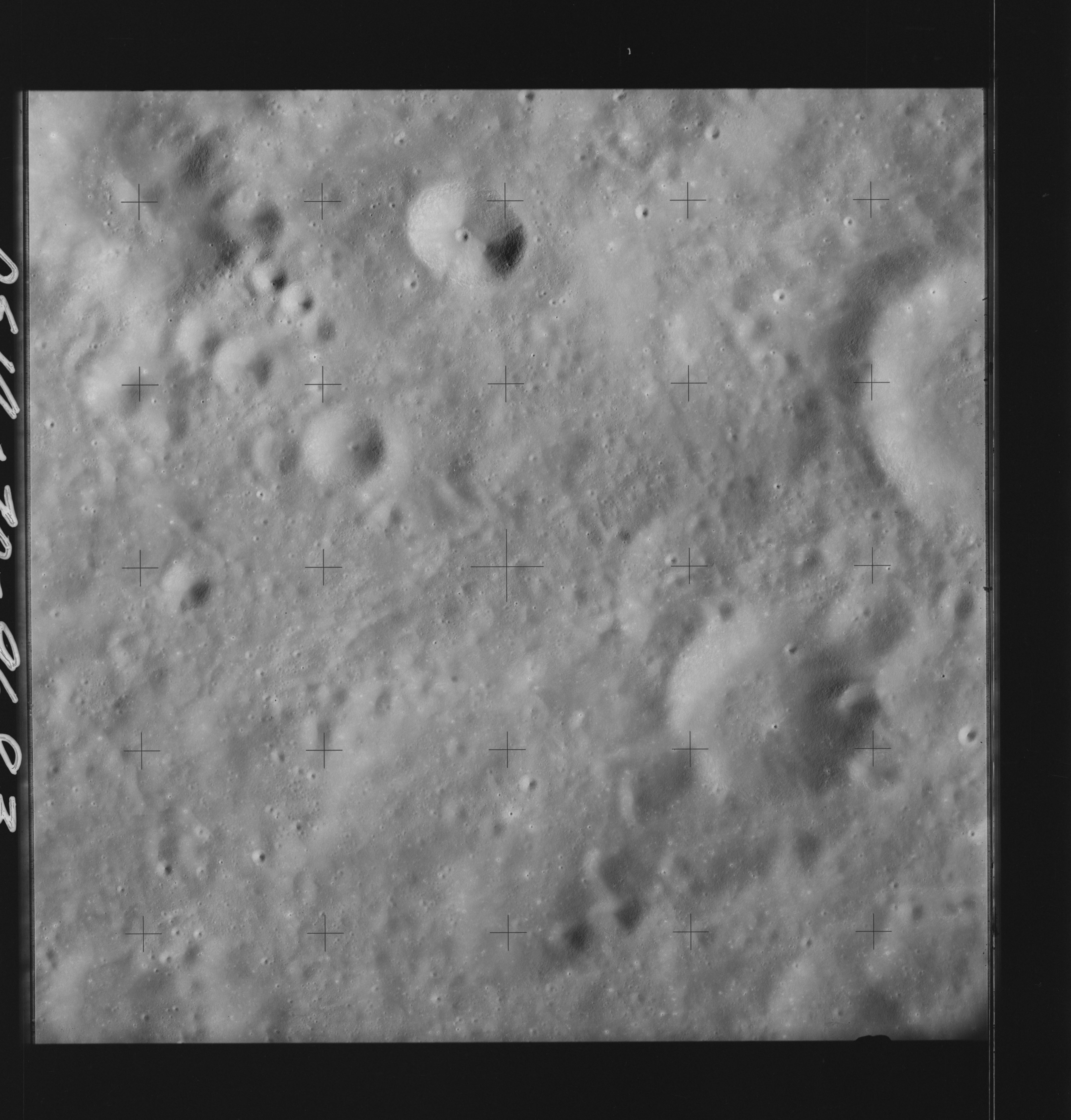 | AS14-70-9683 BUISSON, South of; MEITNER, North of Location: 7.5° S, 112° E Image credit: National Archives and Records Administration |
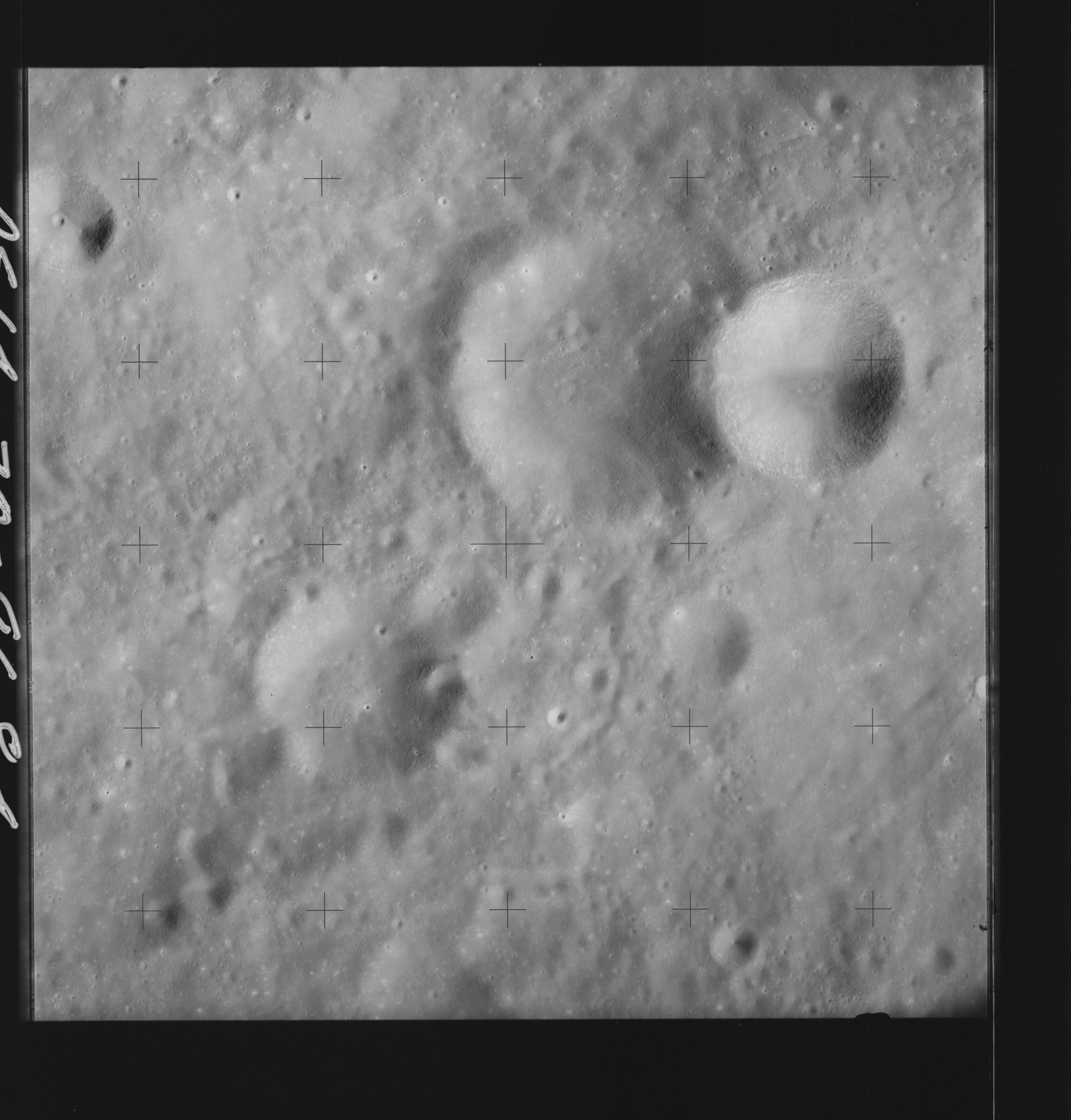 | AS14-70-9684 EINTHOVEN, Southeast of Location: 7.5° S, 111.5° E Image credit: National Archives and Records Administration |
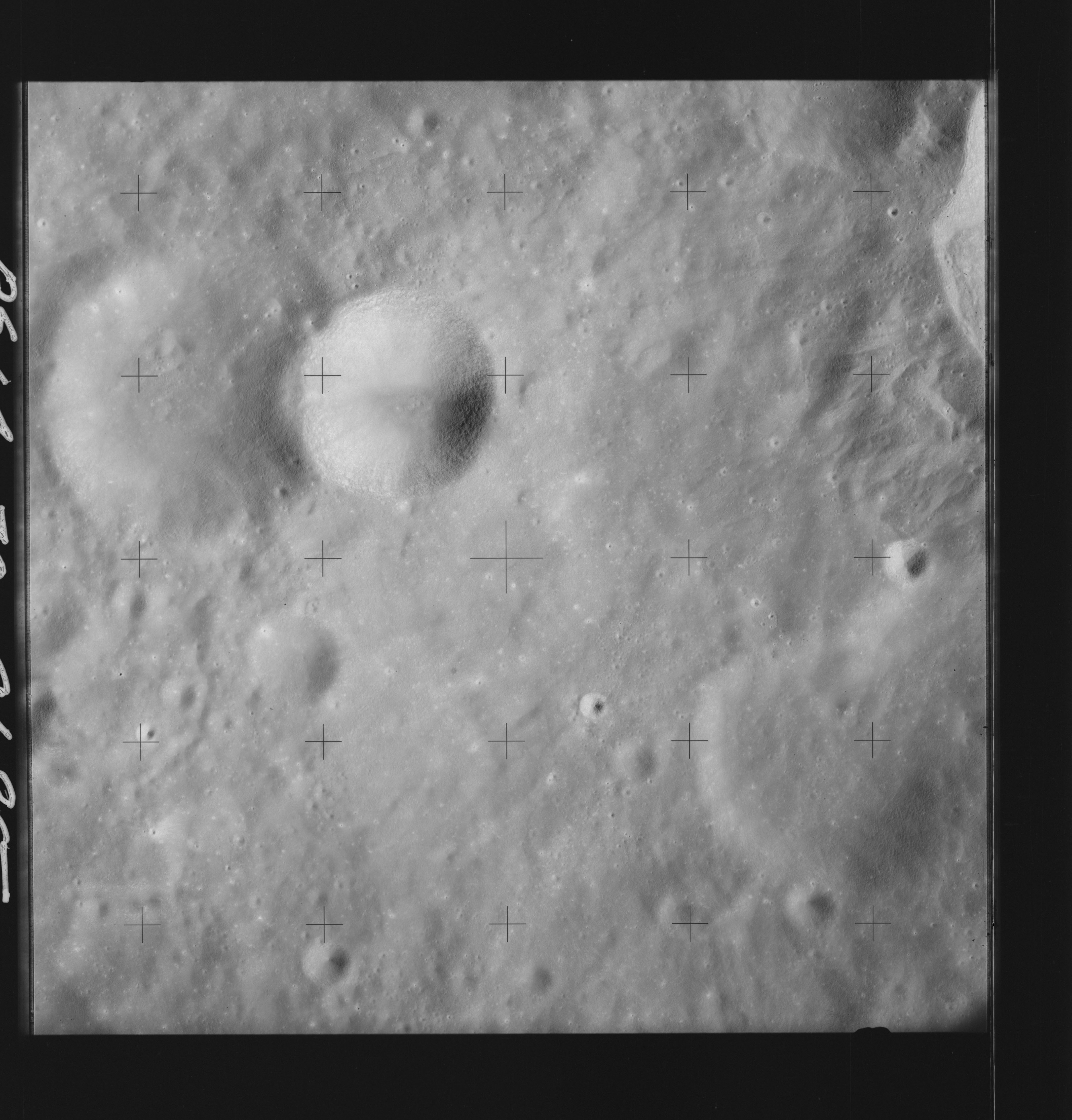 | AS14-70-9685 EINTHOVEN, Southeast of Location: 7.5° S, 111° E Image credit: National Archives and Records Administration |
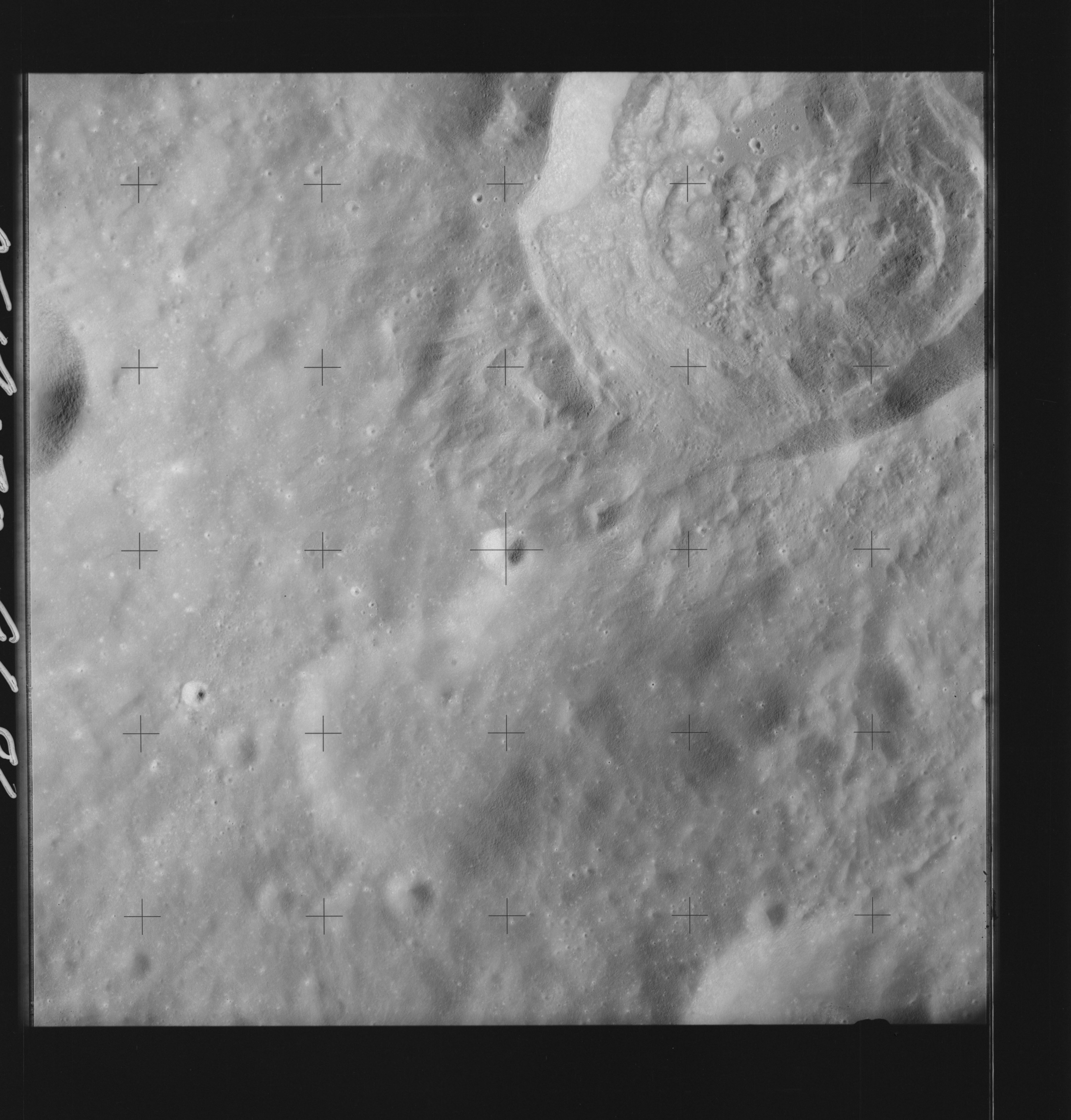 | AS14-70-9686 PASTEUR Location: 7.5° S, 109° E Image credit: National Archives and Records Administration |
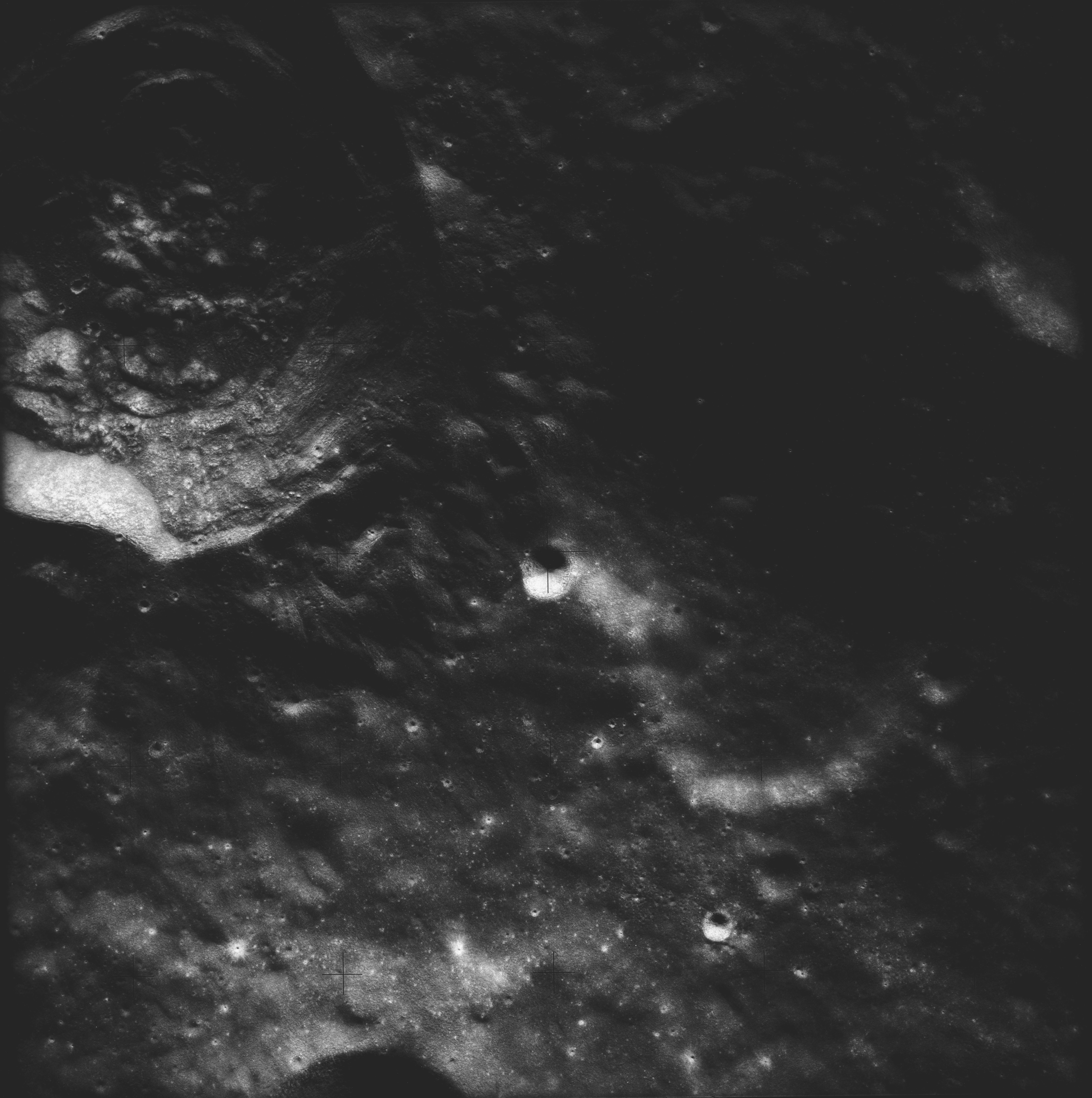 | AS14-70-9687 PASTEUR Location: 8° S, 109° E Image credit: National Archives and Records Administration |
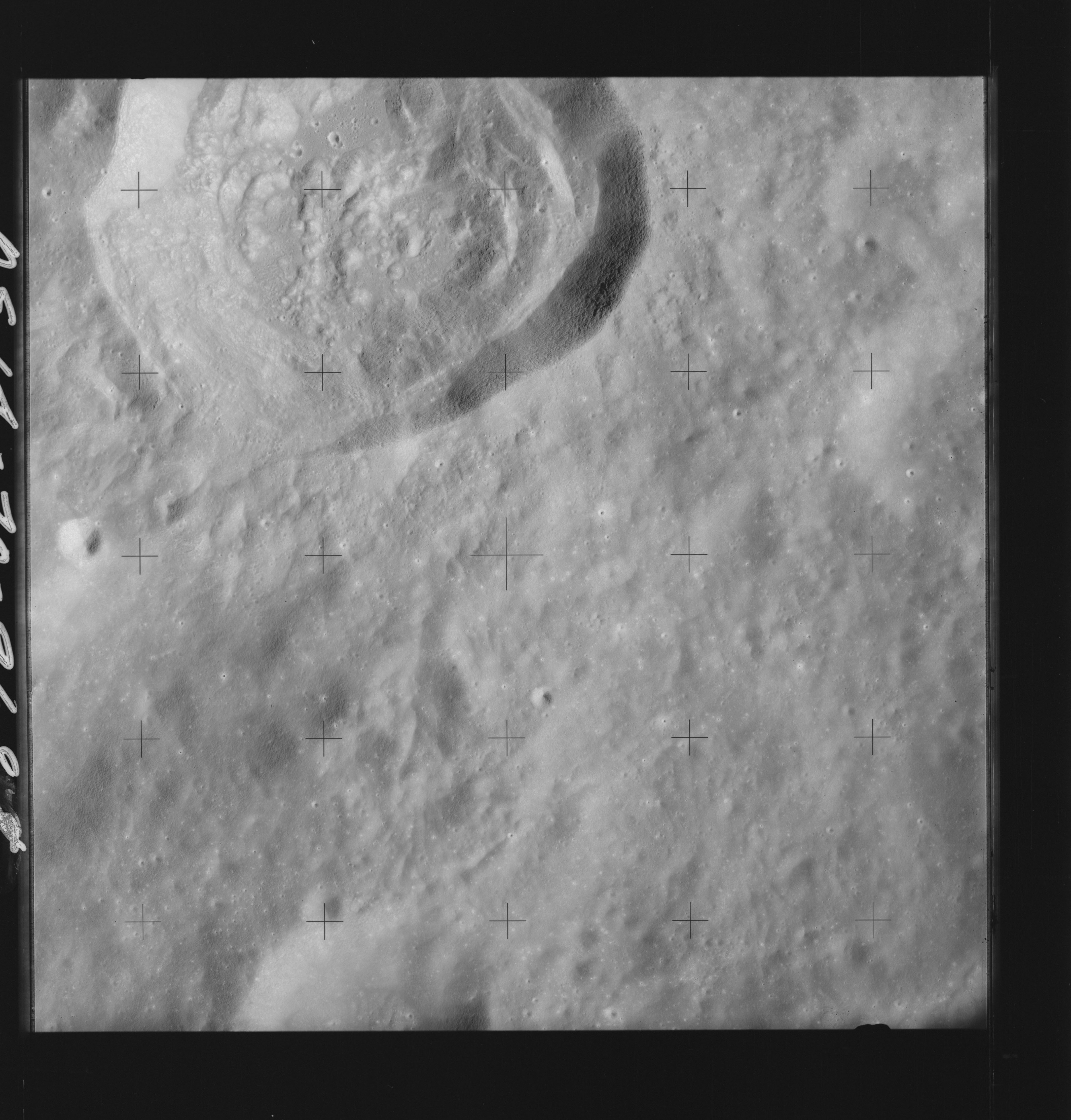 | AS14-70-9688 PASTEUR Location: 8° S, 108° E Image credit: National Archives and Records Administration |
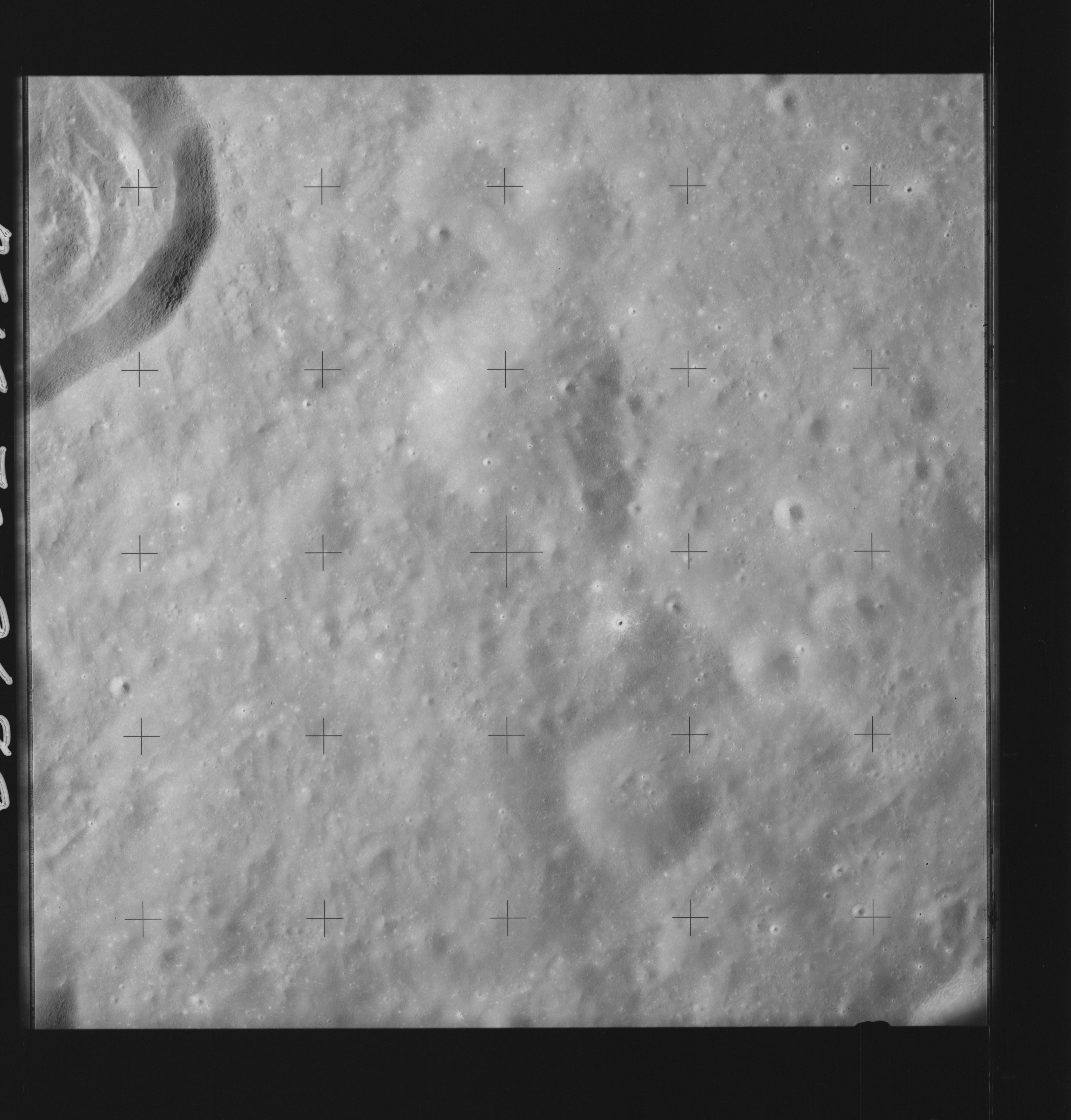 | AS14-70-9689 PASTEUR Location: 8° S, 107° E Image credit: National Archives and Records Administration |
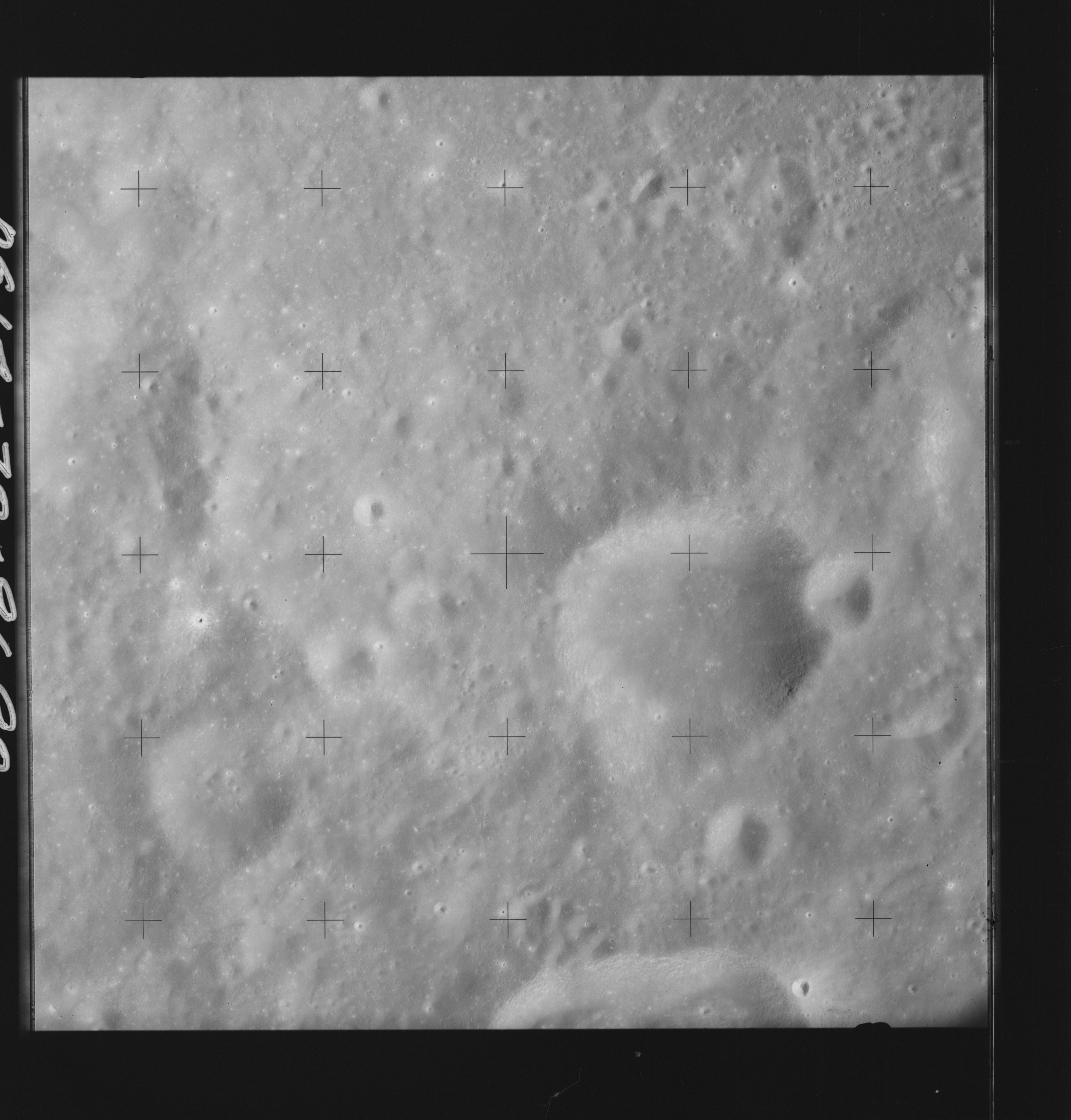 | AS14-70-9690 PASTEUR Location: 8° S, 106.5° E Image credit: National Archives and Records Administration |
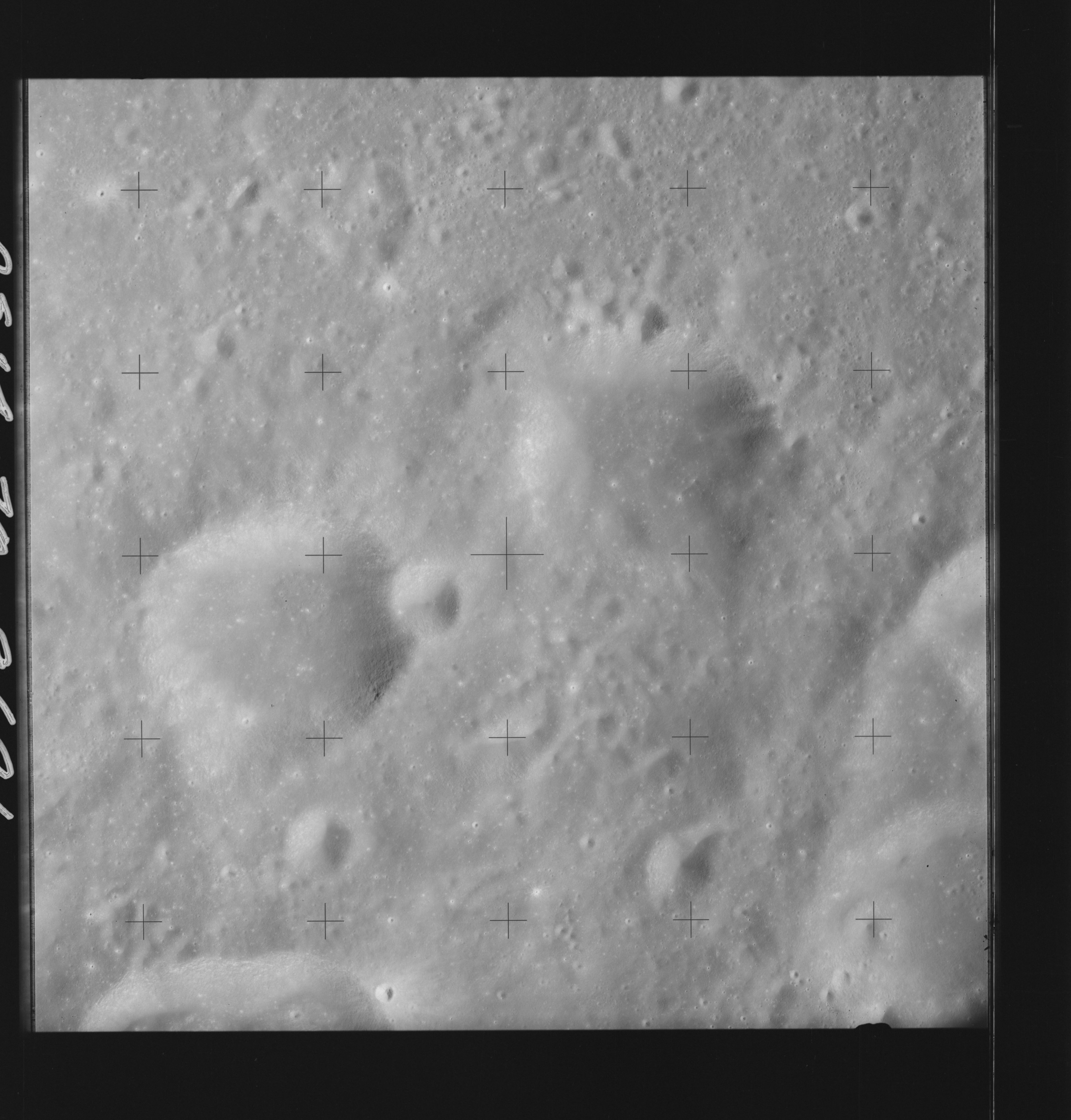 | AS14-70-9691 PASTEUR Location: 8.5° S, 105.5° E Image credit: National Archives and Records Administration |
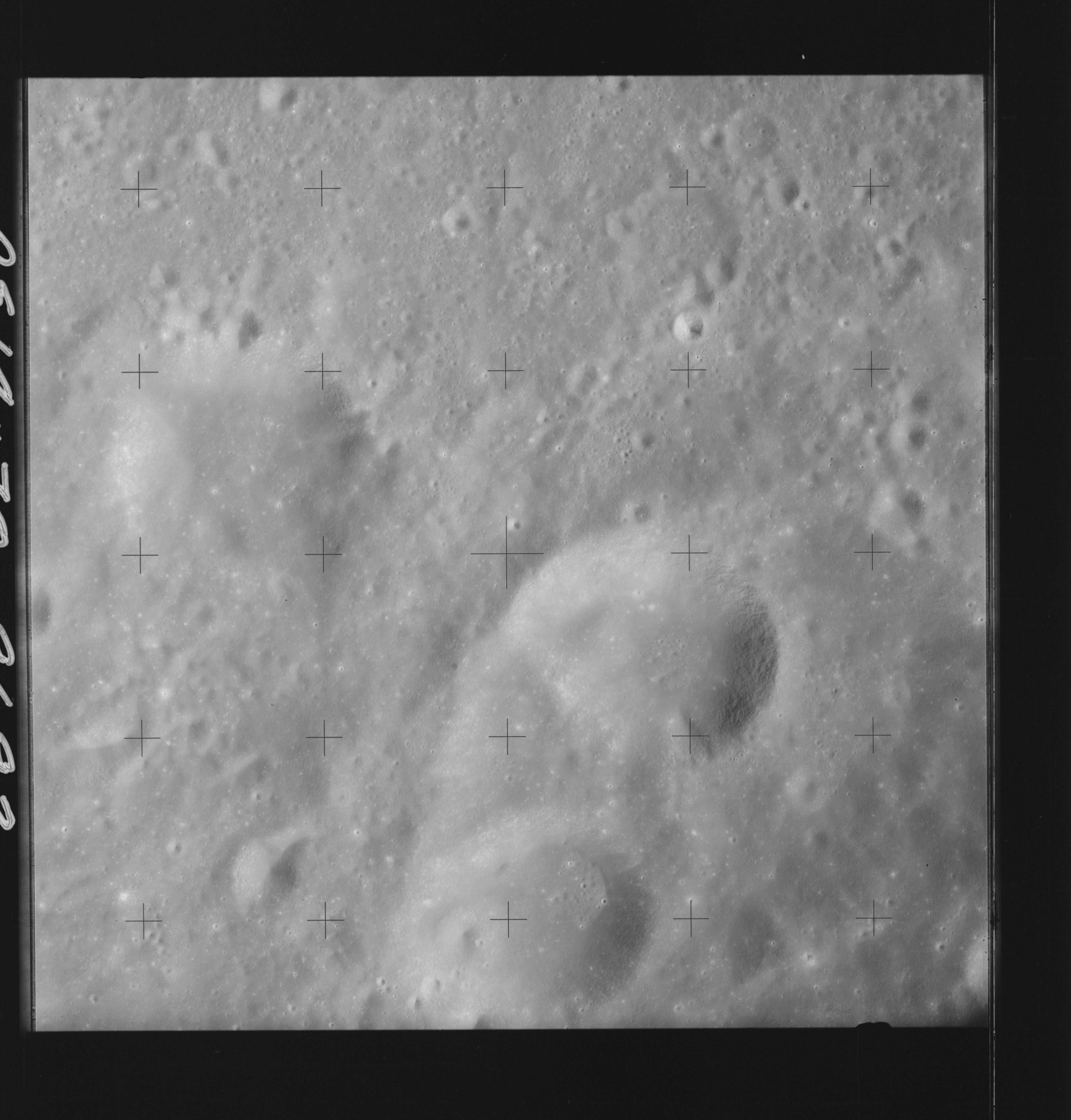 | AS14-70-9692 PASTEUR Location: 8.5° S, 104.5° E Image credit: National Archives and Records Administration |
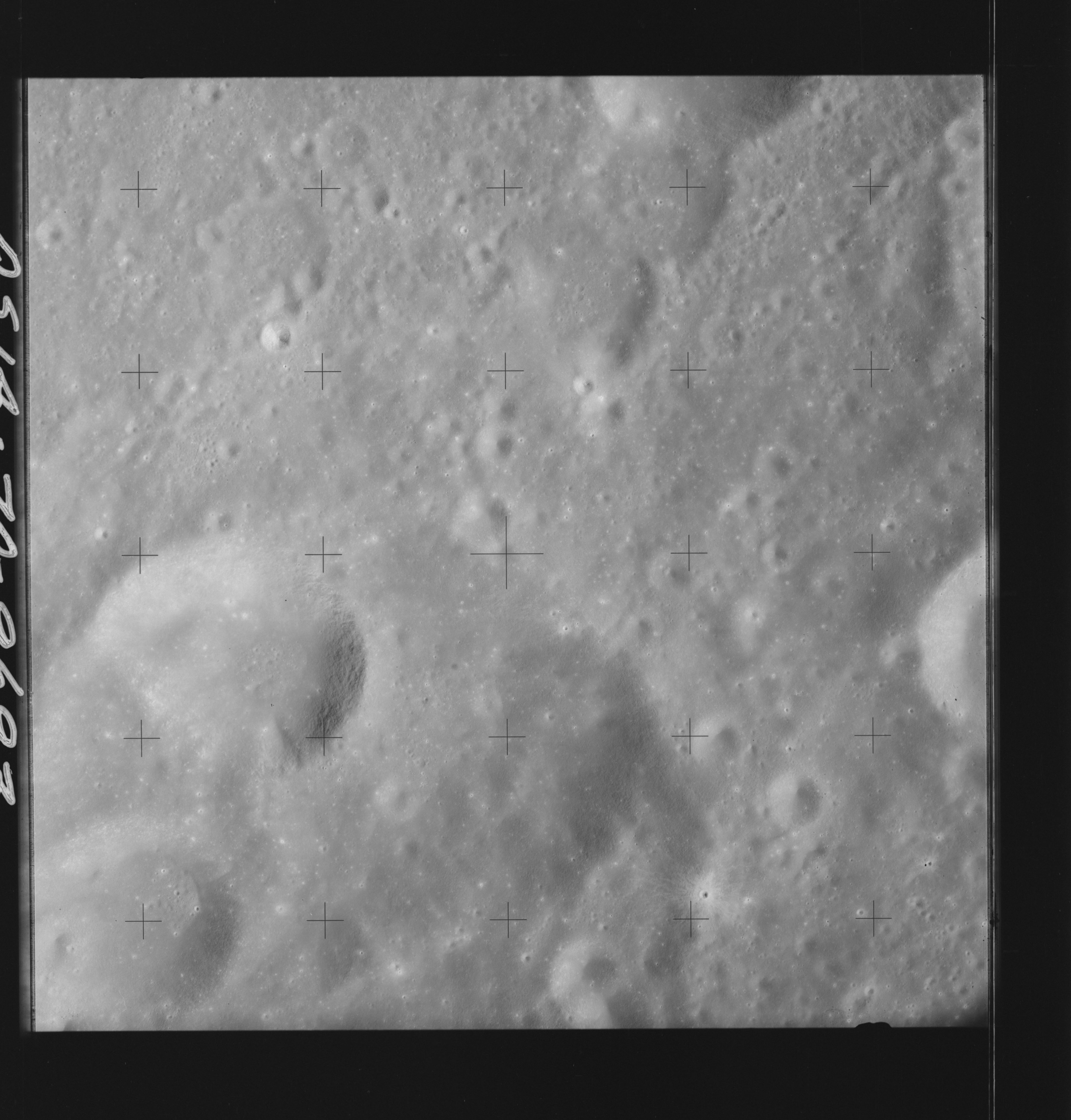 | AS14-70-9693 PASTEUR Location: 8.5° S, 103° E Image credit: National Archives and Records Administration |
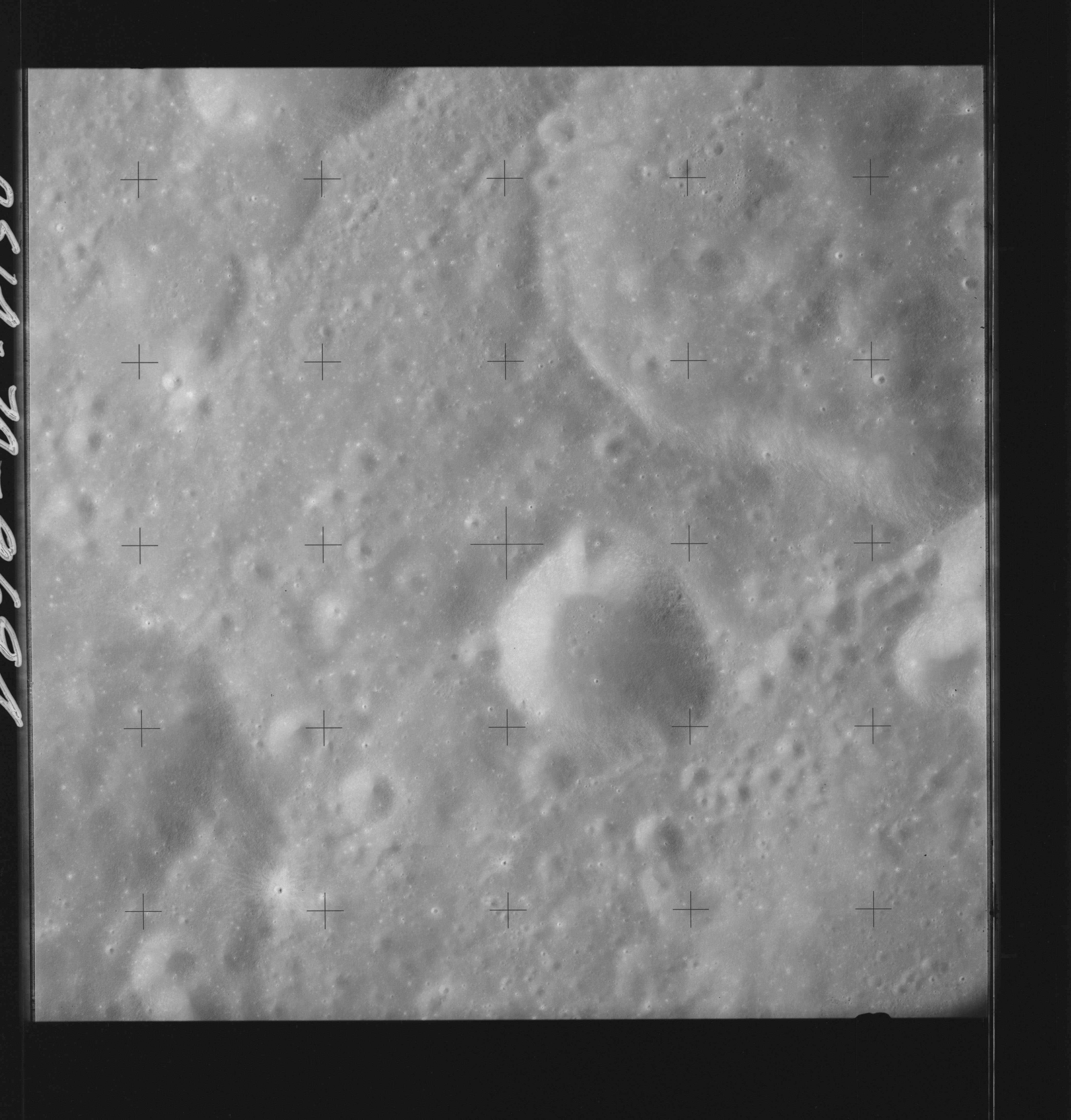 | AS14-70-9694 PASTEUR Location: 9° S, 102.5° E Image credit: National Archives and Records Administration |
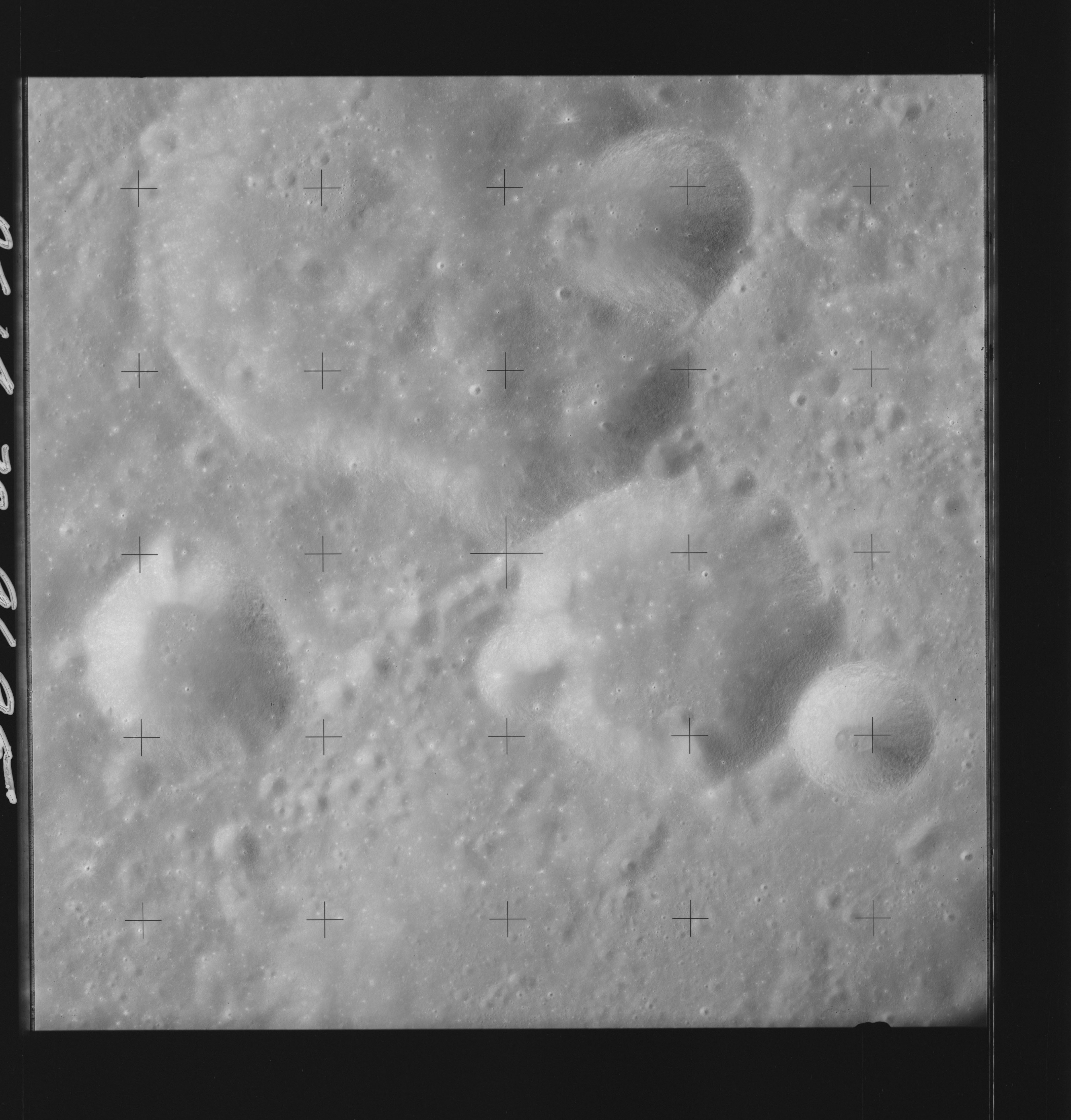 | AS14-70-9695 PASTEUR Location: 9° S, 101° E Image credit: National Archives and Records Administration |
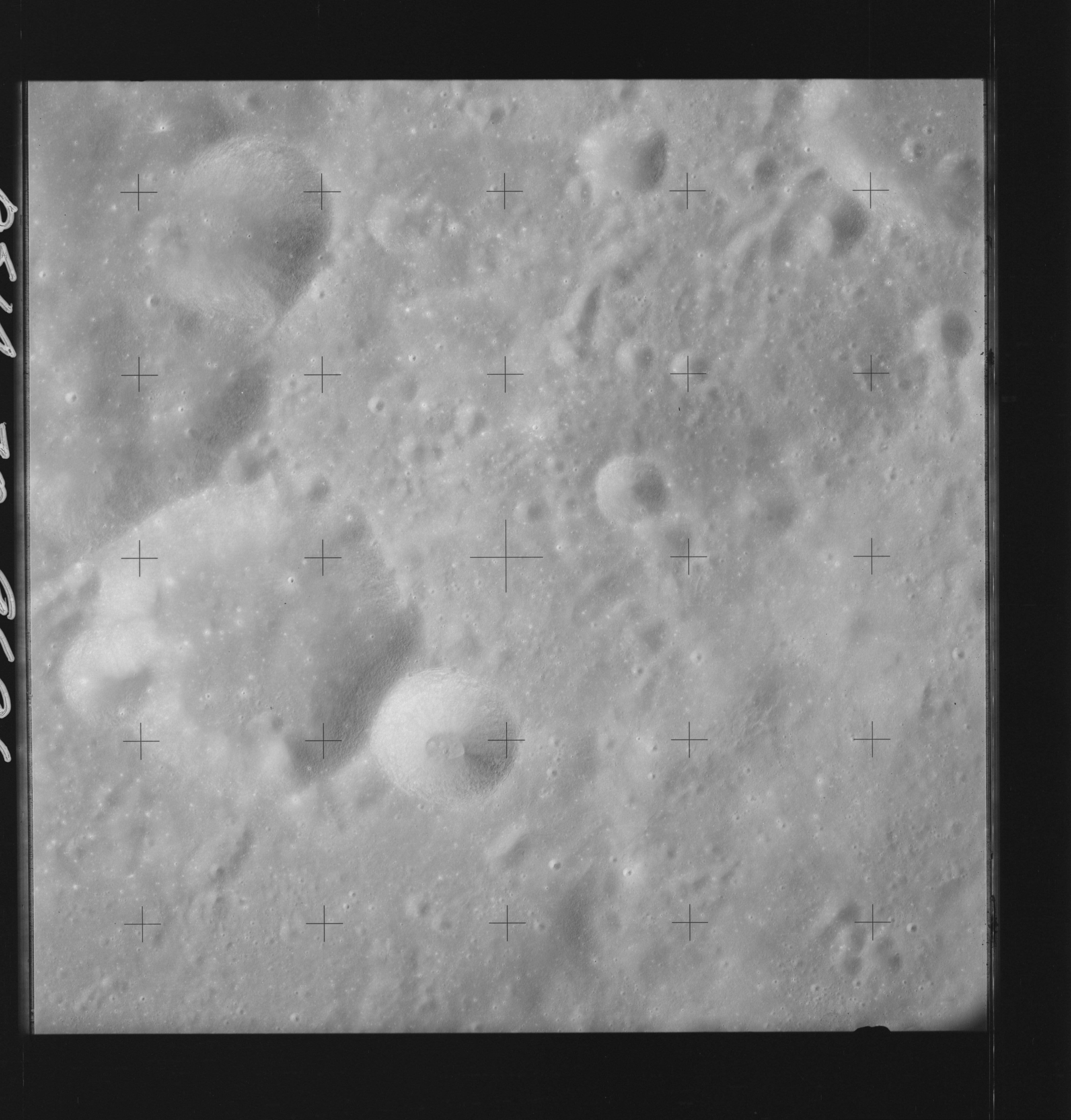 | AS14-70-9696 PASTEUR Location: 9° S, 100° E Image credit: National Archives and Records Administration |
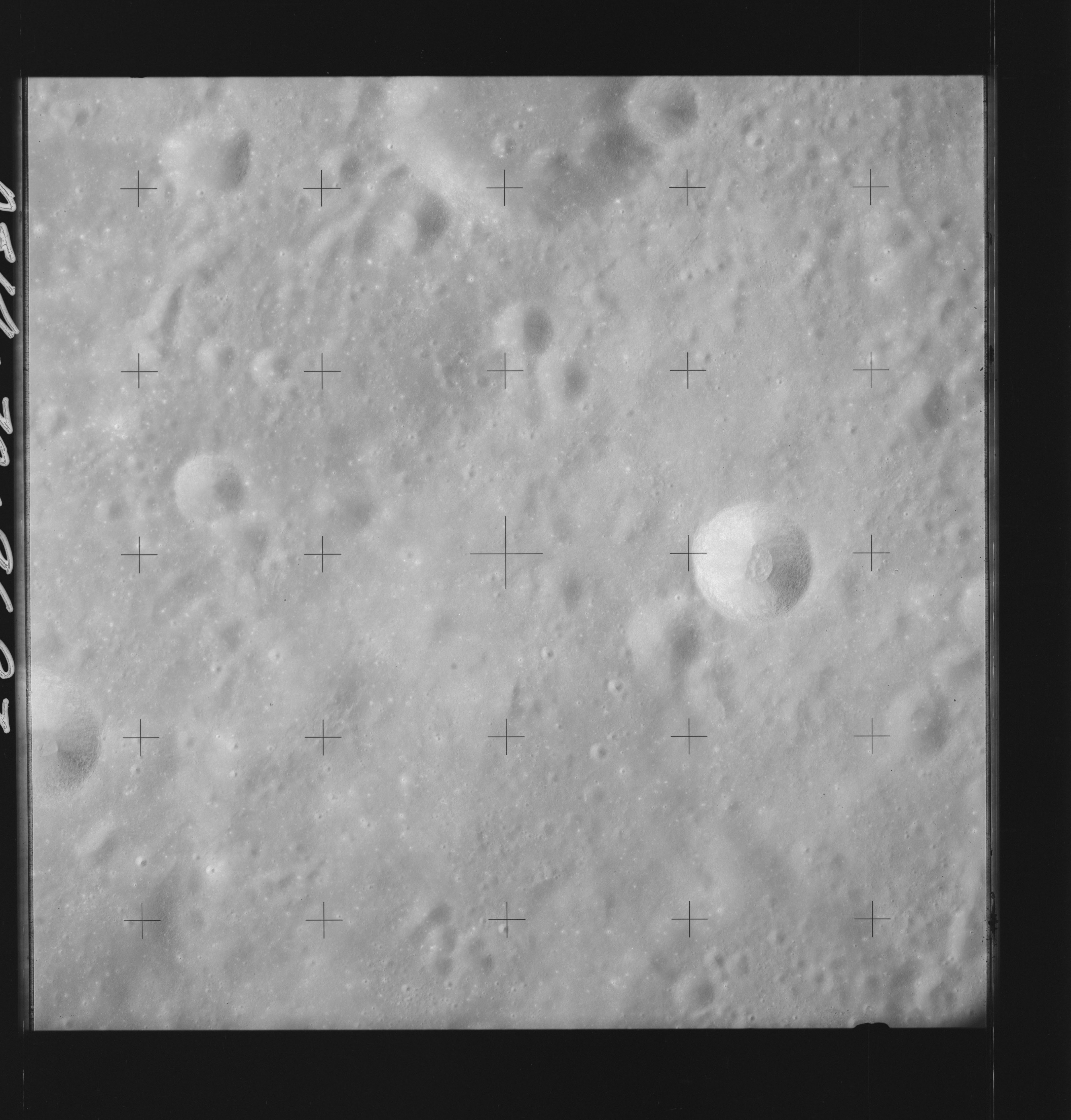 | AS14-70-9697 PASTEUR Location: 9.5° S, 99° E Image credit: National Archives and Records Administration |
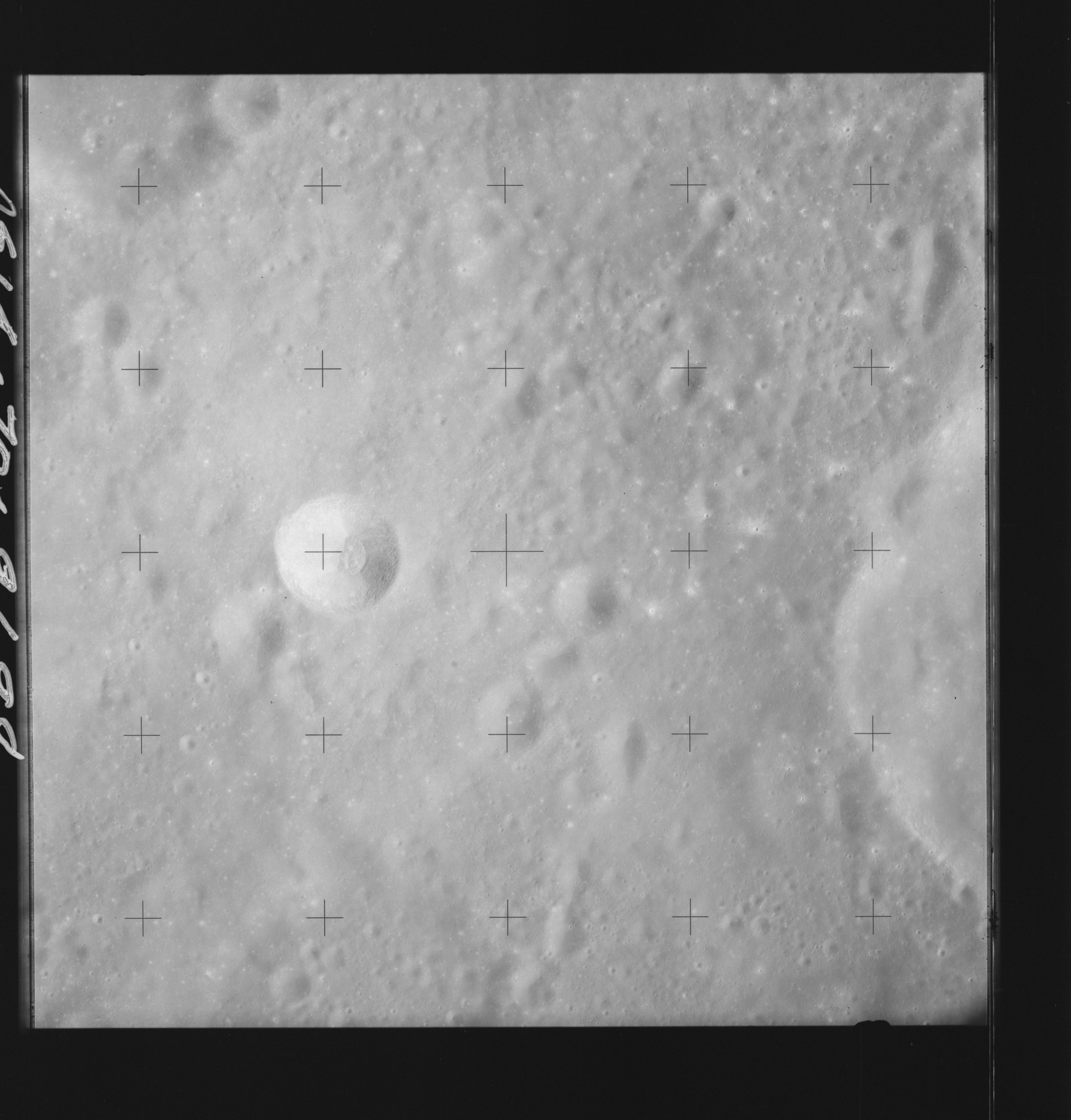 | AS14-70-9698 PASTEUR Location: 9.5° S, 98° E Image credit: National Archives and Records Administration |
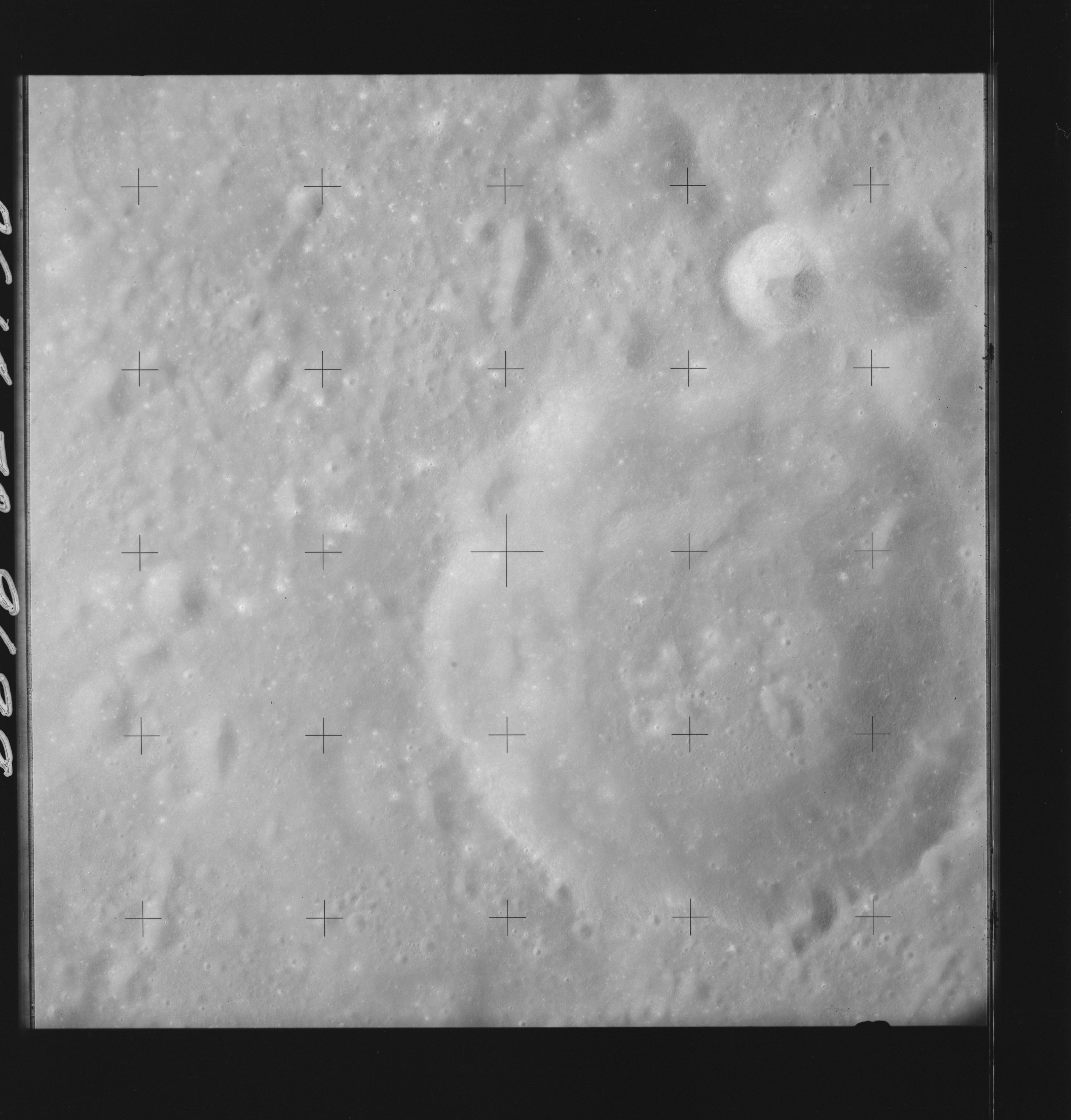 | AS14-70-9699 GANSKIY, PASTEUR Location: 9.5° S, 97° E Image credit: National Archives and Records Administration |
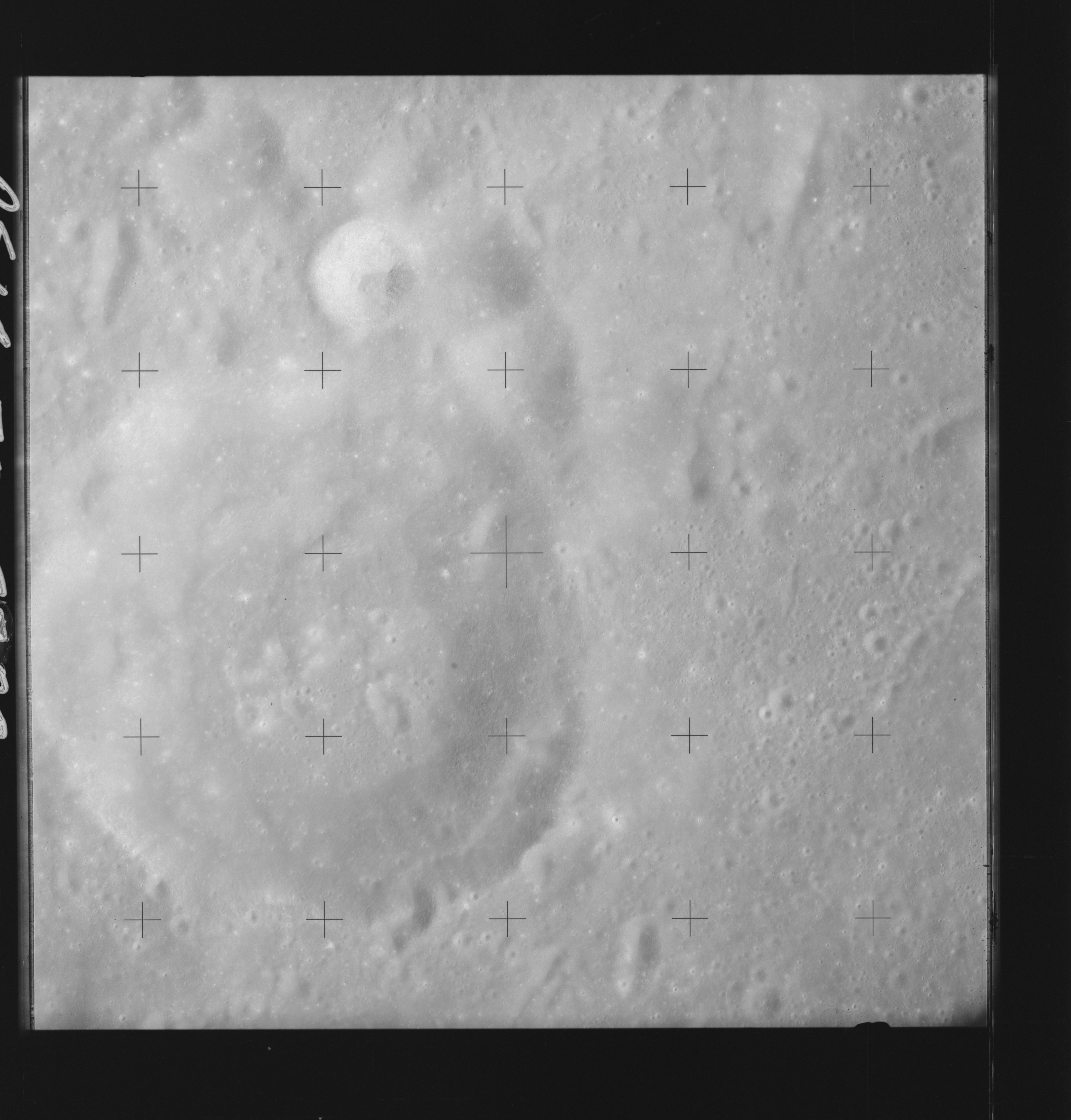 | AS14-70-9700 GANSKIY, PASTEUR Location: 9.5° S, 96° E Image credit: National Archives and Records Administration |
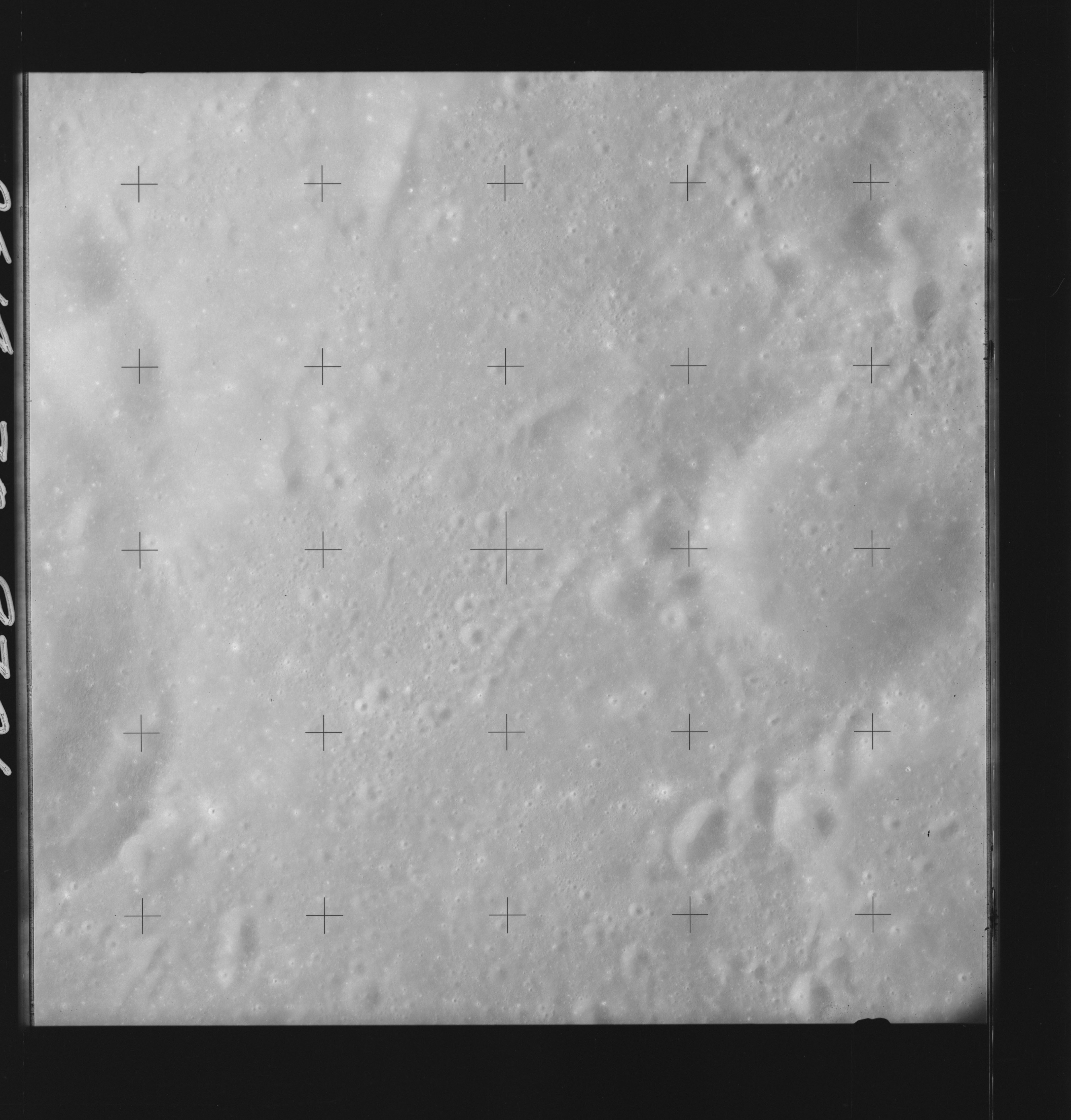 | AS14-70-9701 GANSKIY, PASTEUR Location: 9.5° S, 95° E Image credit: National Archives and Records Administration |
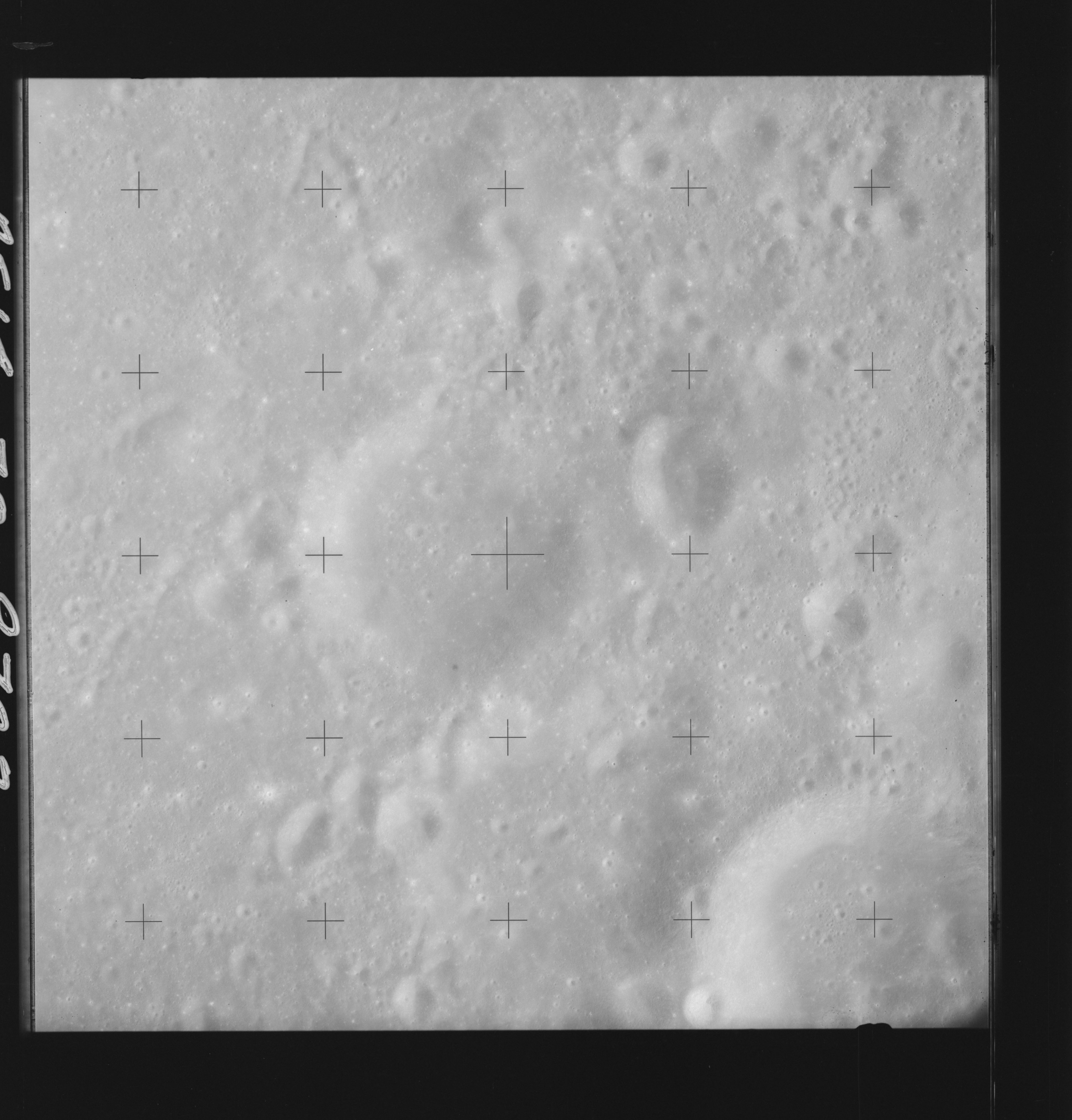 | AS14-70-9702 BRUNNER AREA, GANSKIY AREA Location: 10° S, 94° E Image credit: National Archives and Records Administration |
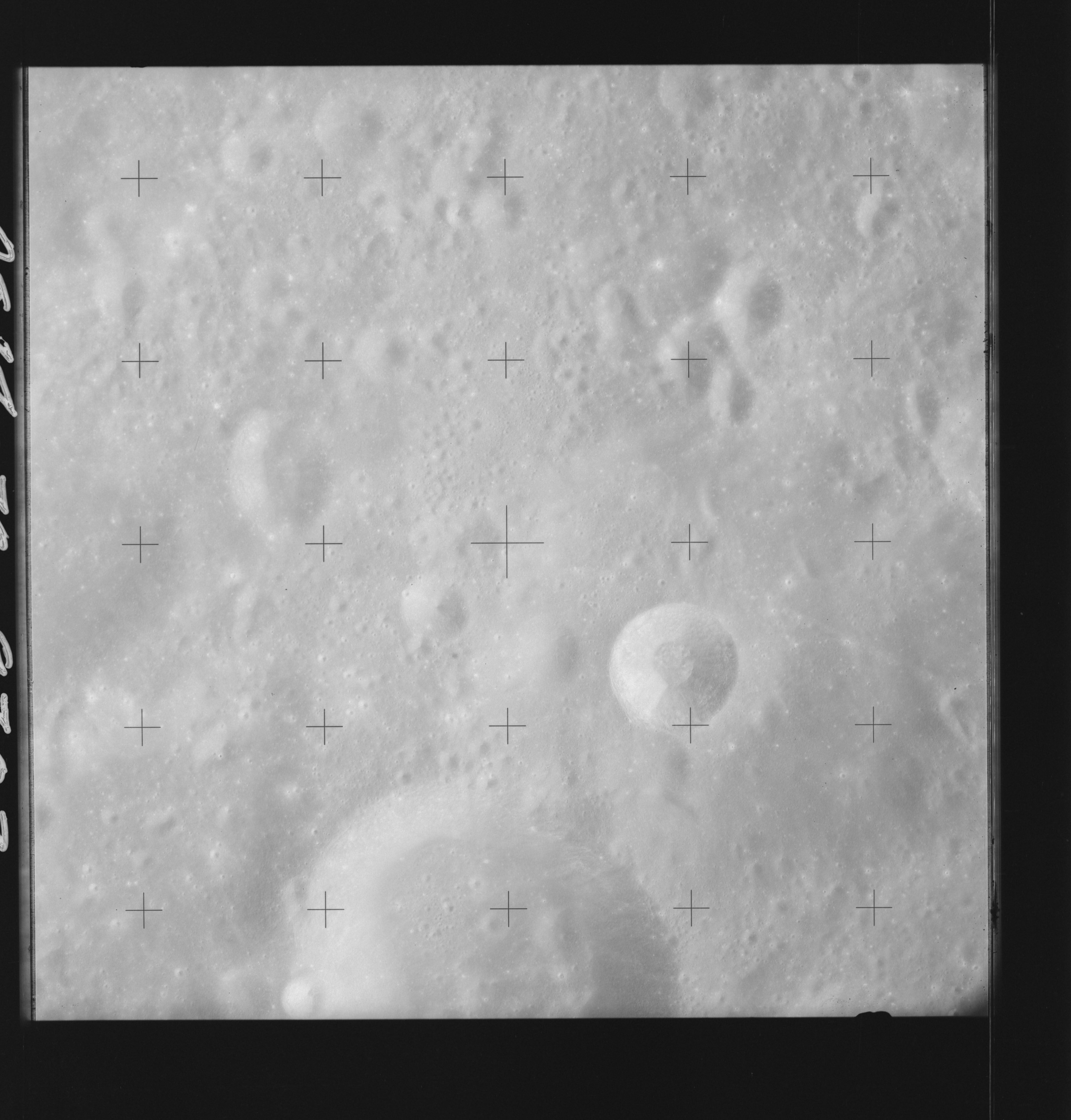 | AS14-70-9703 BRUNNER AREA, GANSKIY AREA, HIRAYAMA Location: 10° S, 93° E Image credit: National Archives and Records Administration |
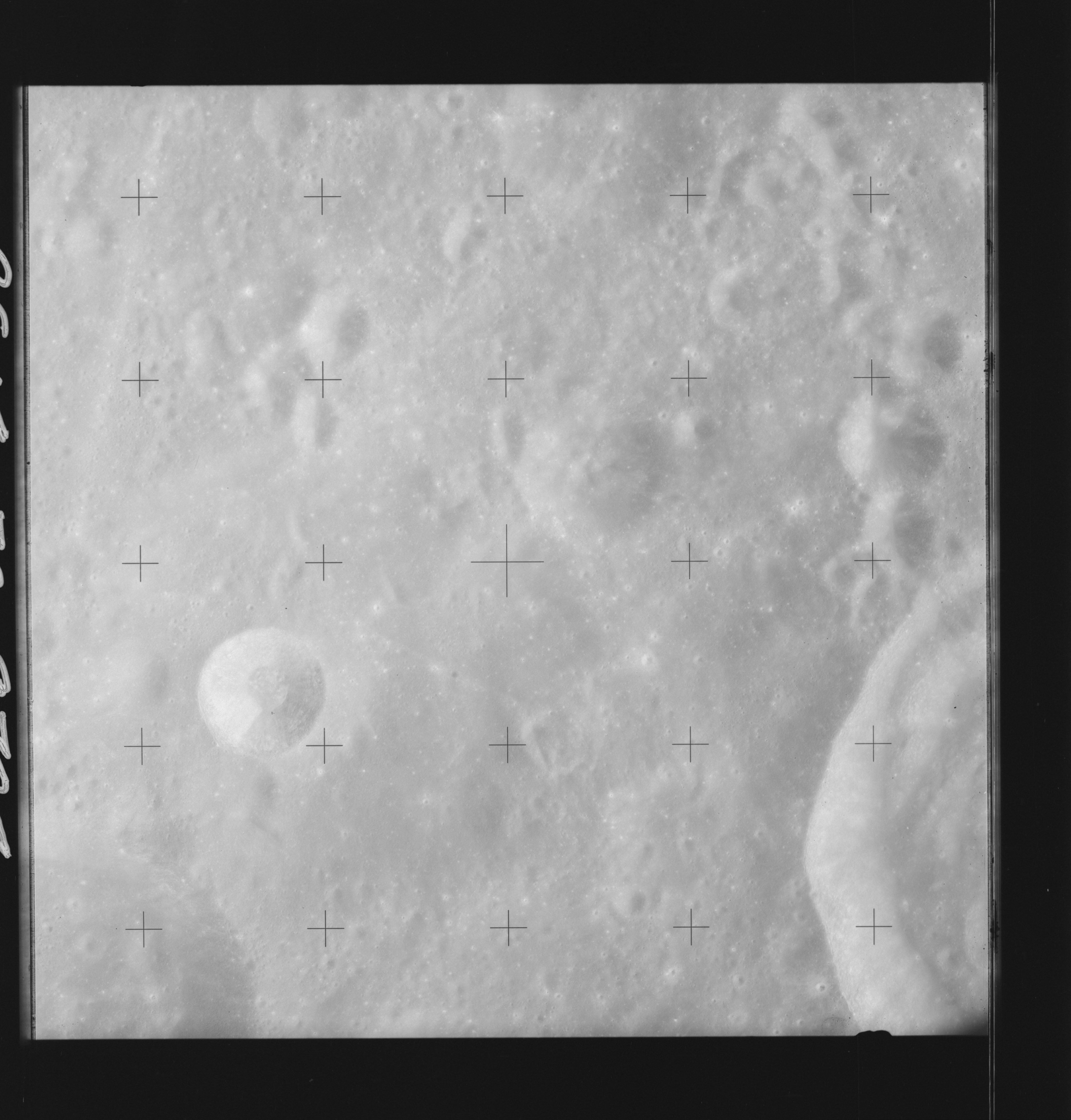 | AS14-70-9704 BRUNNER, HIRAYAMA Location: 10° S, 92° E Image credit: National Archives and Records Administration |
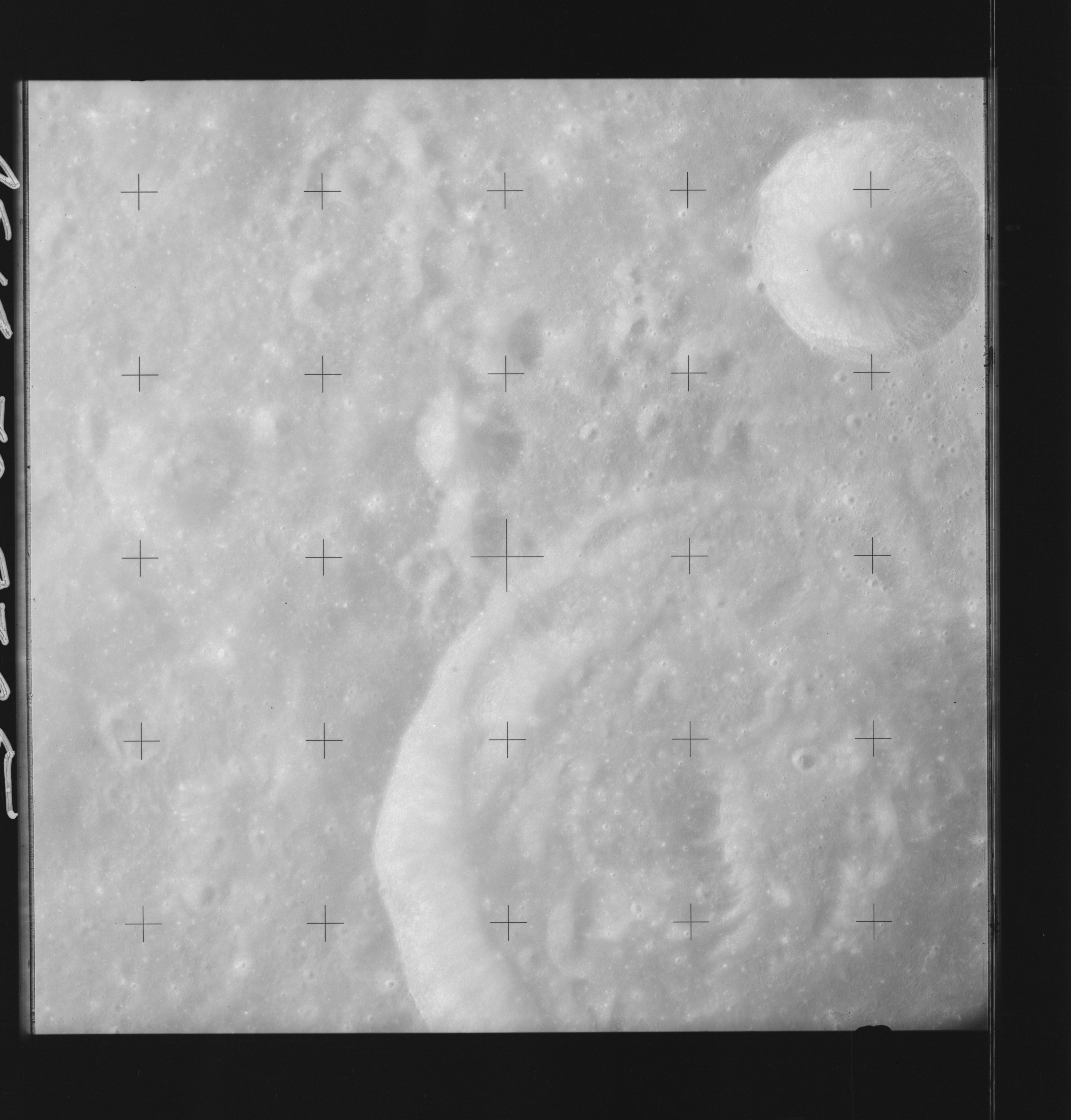 | AS14-70-9705 BRUNNER, HIRAYAMA Location: 10° S, 91° E Image credit: National Archives and Records Administration |
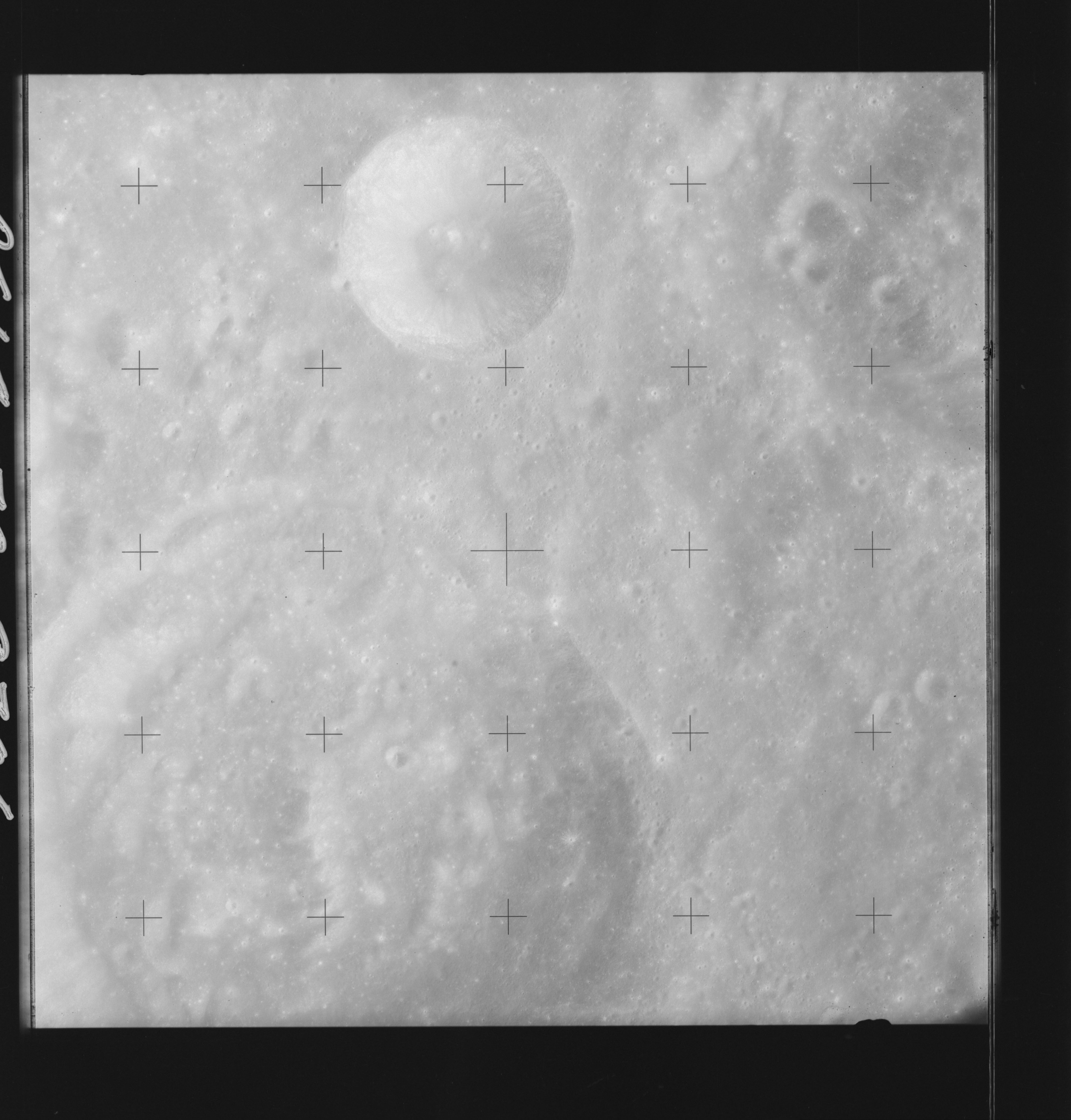 | AS14-70-9706 BRUNNER Location: 10.5° S, 90° E Image credit: National Archives and Records Administration |
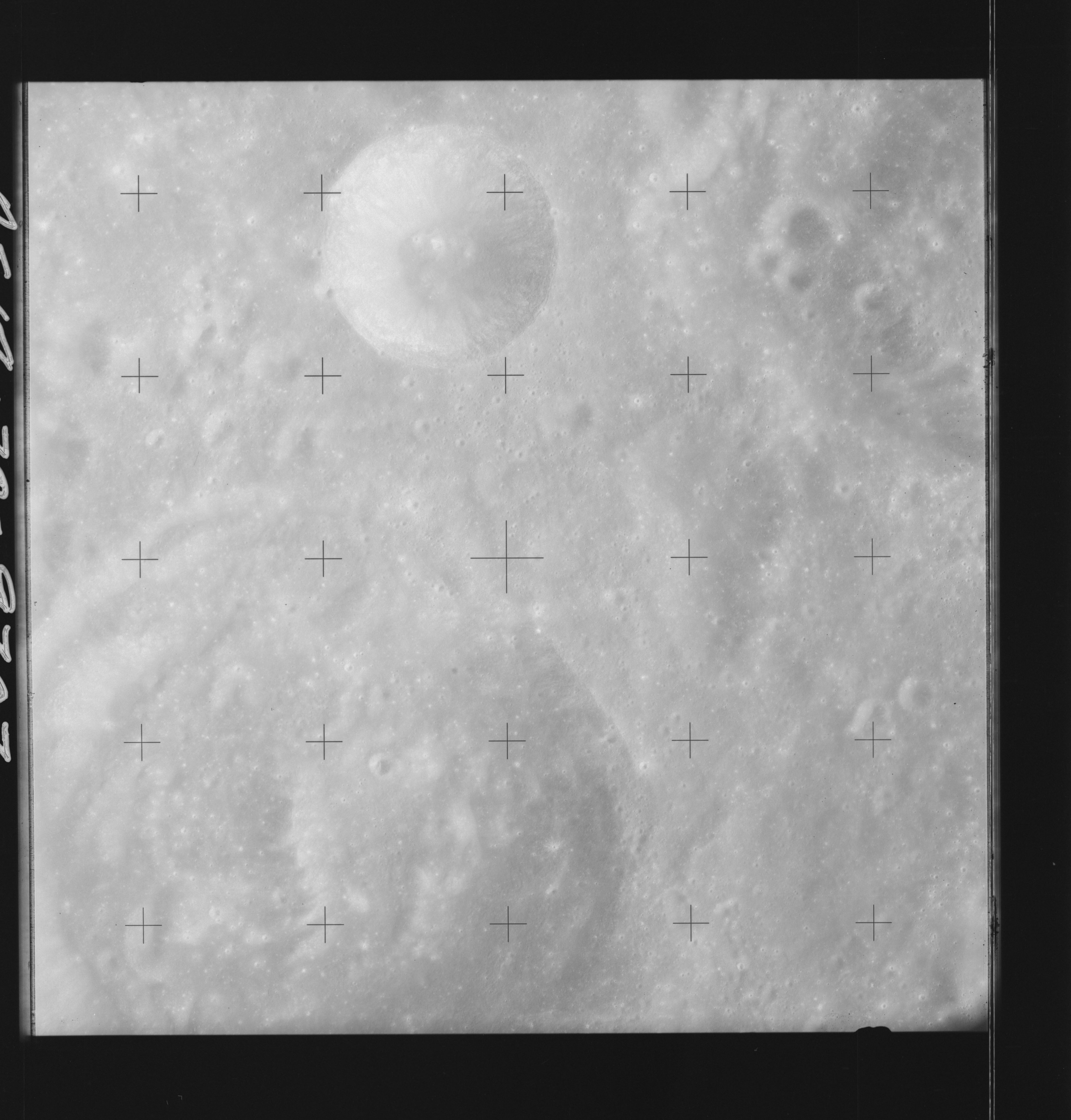 | AS14-70-9707 BRUNNER Location: 10.5° S, 90° E Image credit: National Archives and Records Administration |
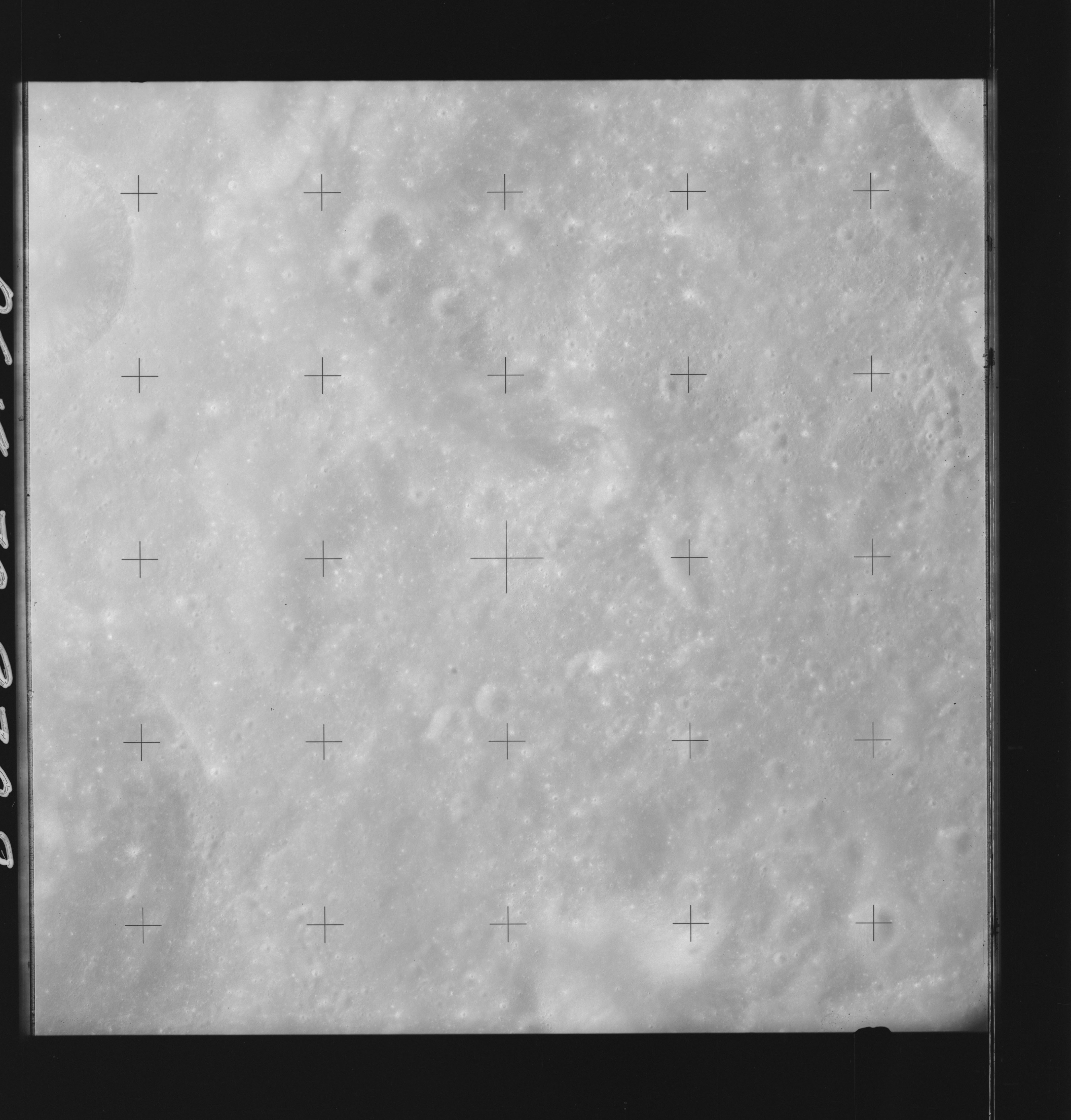 | AS14-70-9708 BRUNNER, West of; MARE SMYTHII, South of Location: 10.5° S, 89° E Image credit: National Archives and Records Administration |
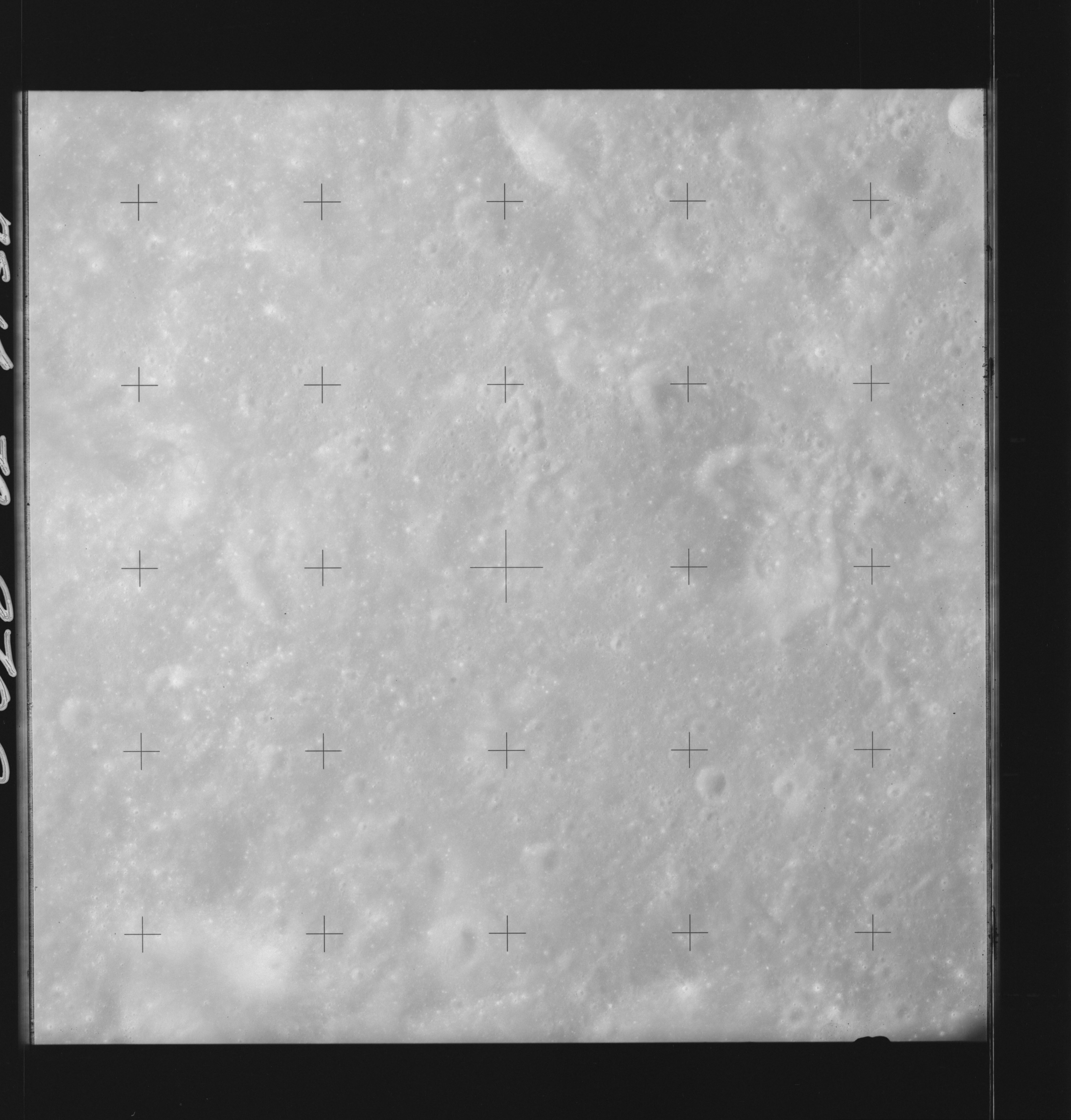 | AS14-70-9709 BRUNNER, West of; MARE SMYTHII, South of Location: 10.5° S, 88° E Image credit: National Archives and Records Administration |
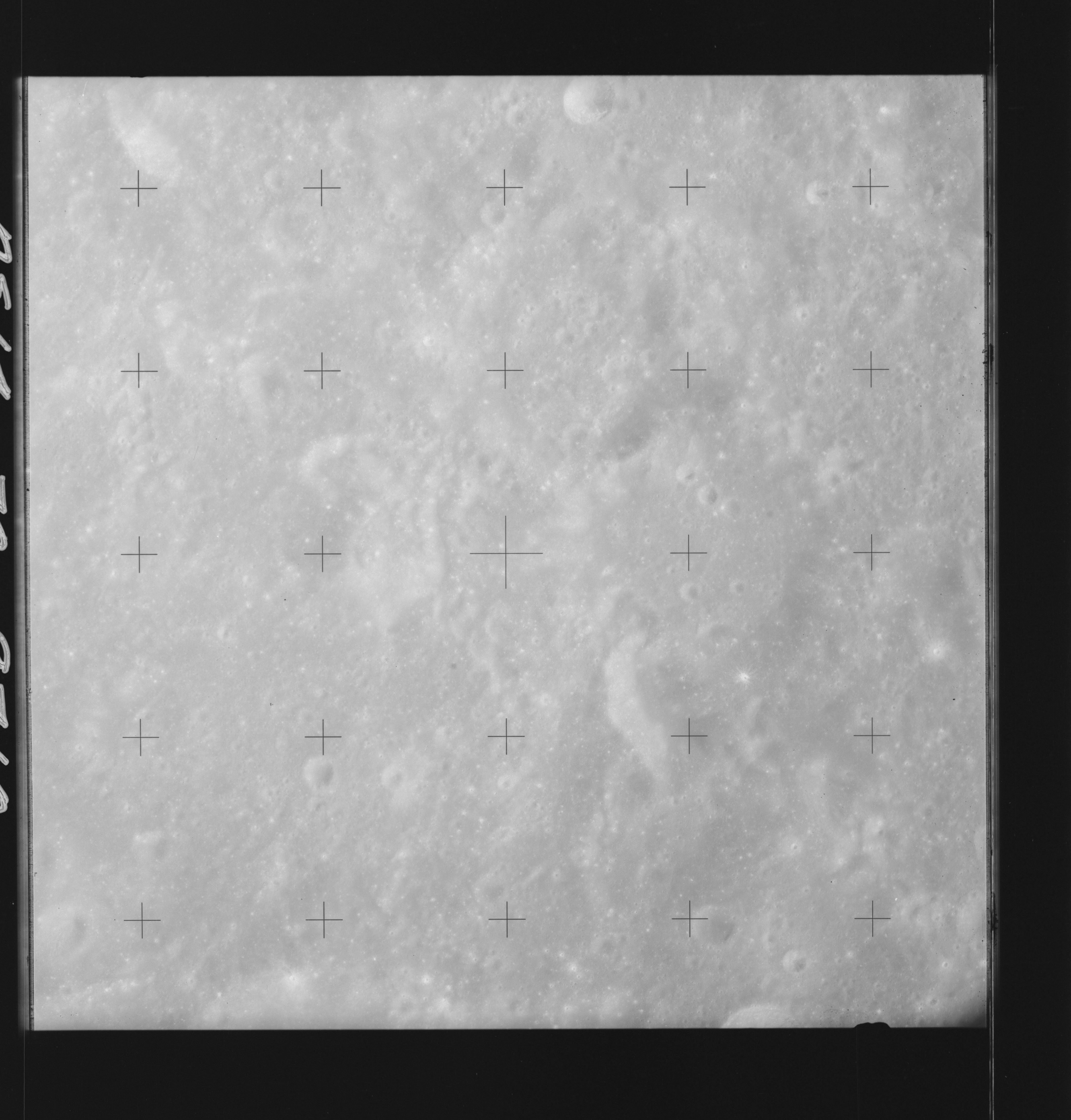 | AS14-70-9710 BRUNNER, West of; MARE SMYTHII, South of Location: 10.5° S, 87° E Image credit: National Archives and Records Administration |
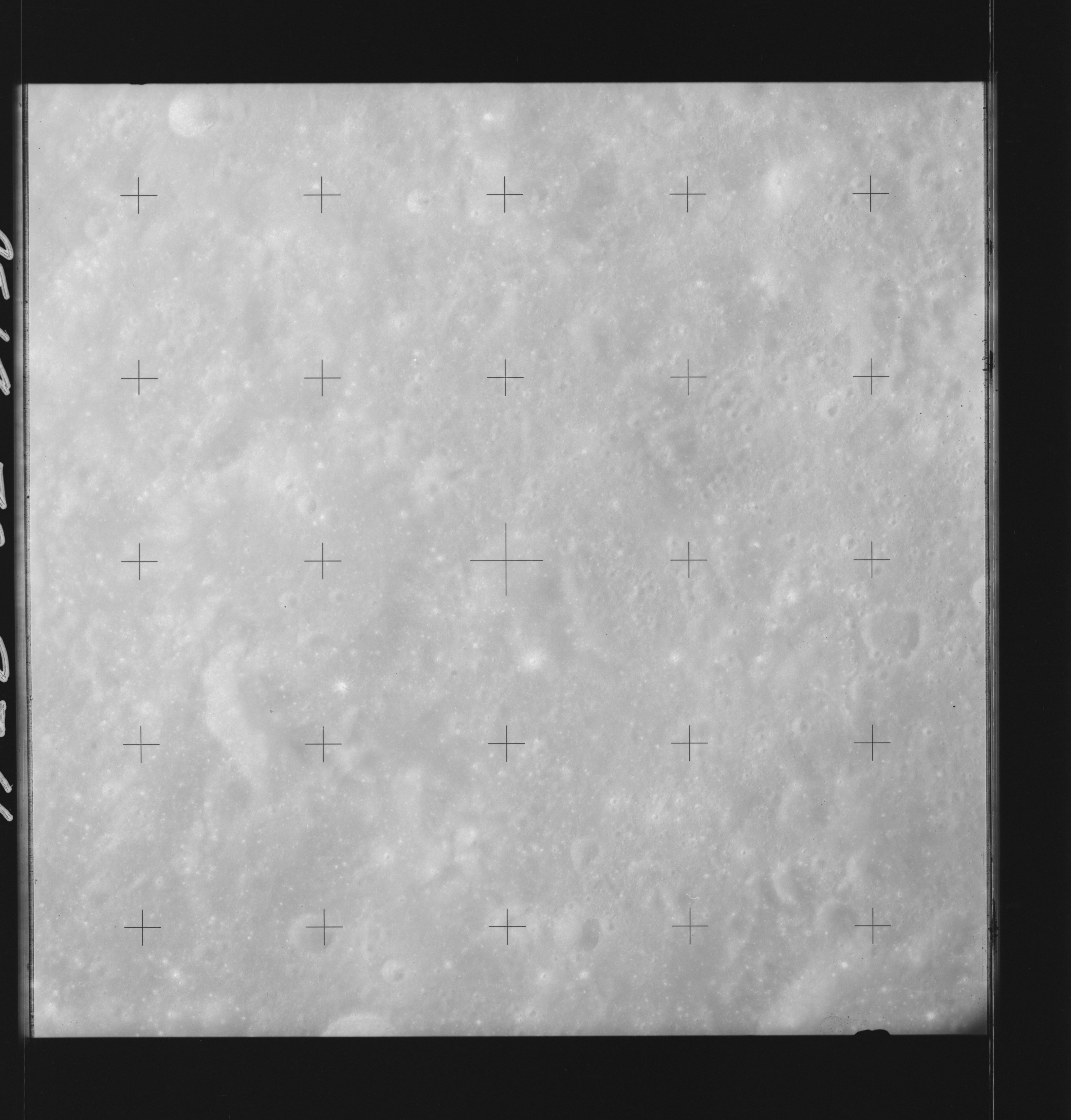 | AS14-70-9711 BRUNNER, West of; MARE SMYTHII, South of Location: 11° S, 86° E Image credit: National Archives and Records Administration |
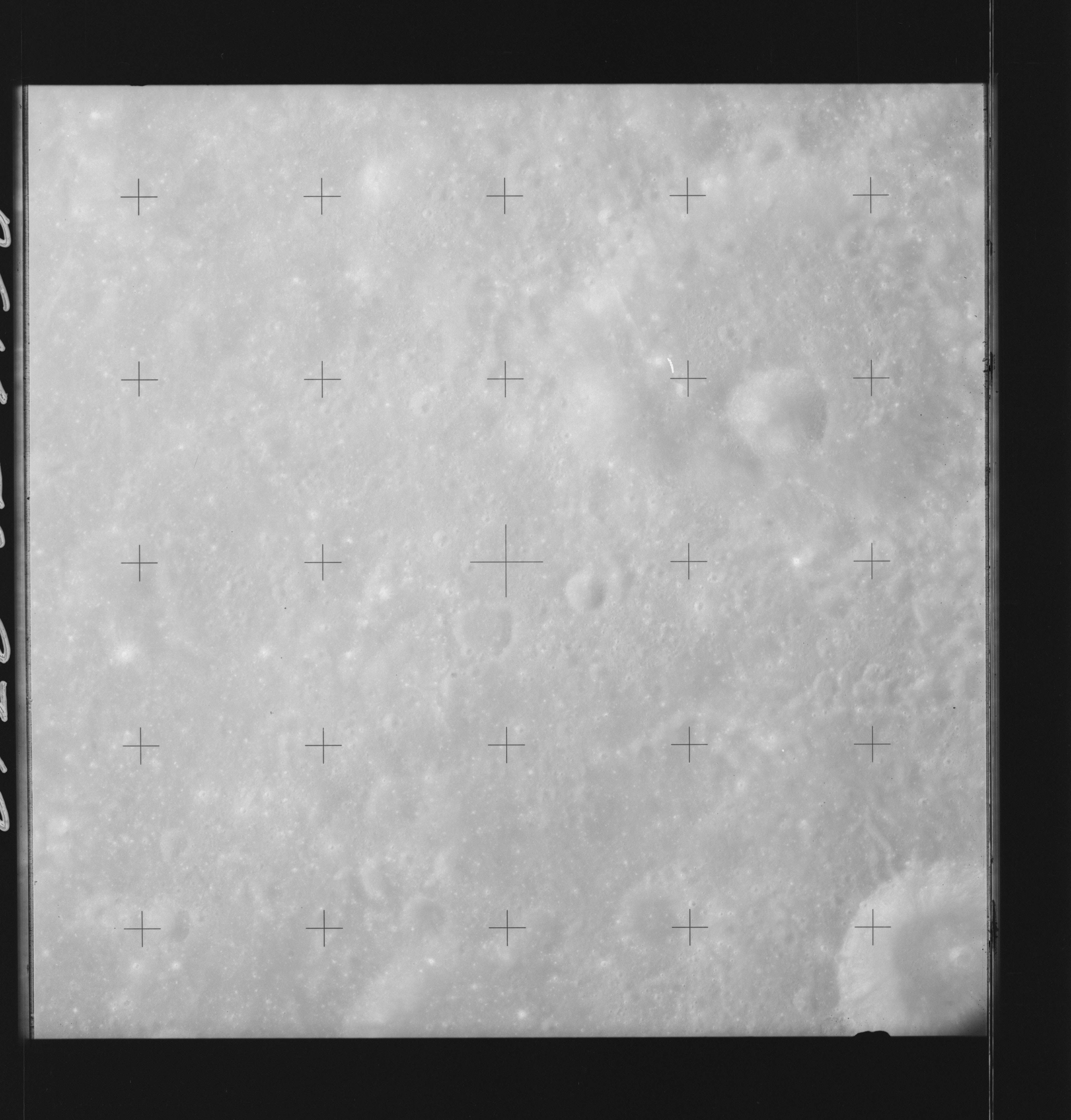 | AS14-70-9712 ANSGARIUS, West of; MARE SMYTHII, South of Location: 11° S, 85° E Image credit: National Archives and Records Administration |
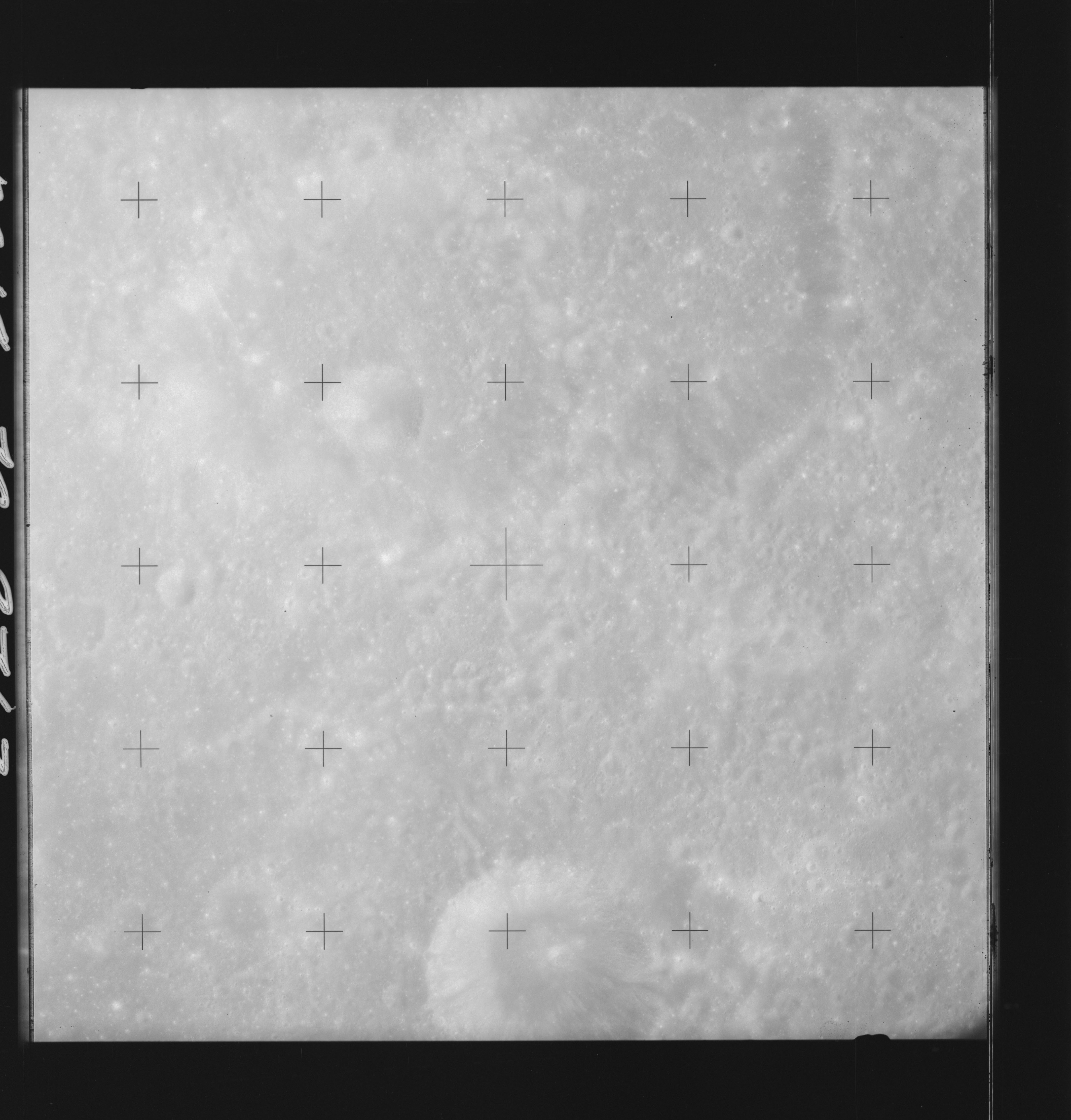 | AS14-70-9713 ANSGARIUS, West of; MARE SMYTHII, South of Location: 11° S, 84° E Image credit: National Archives and Records Administration |
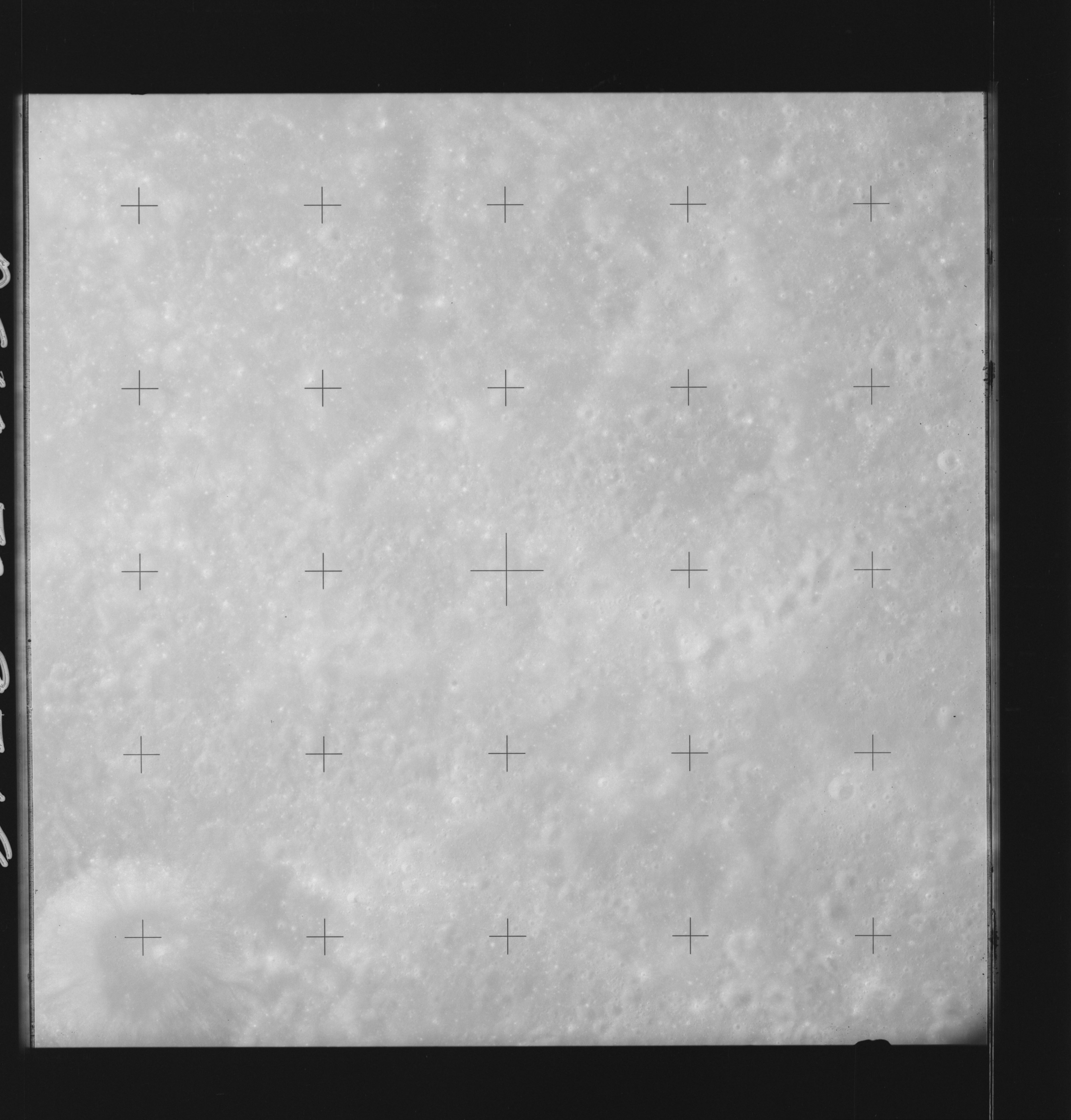 | AS14-70-9714 ANSGARIUS, West of; MARE SMYTHII, South of Location: 11° S, 83° E Image credit: National Archives and Records Administration |
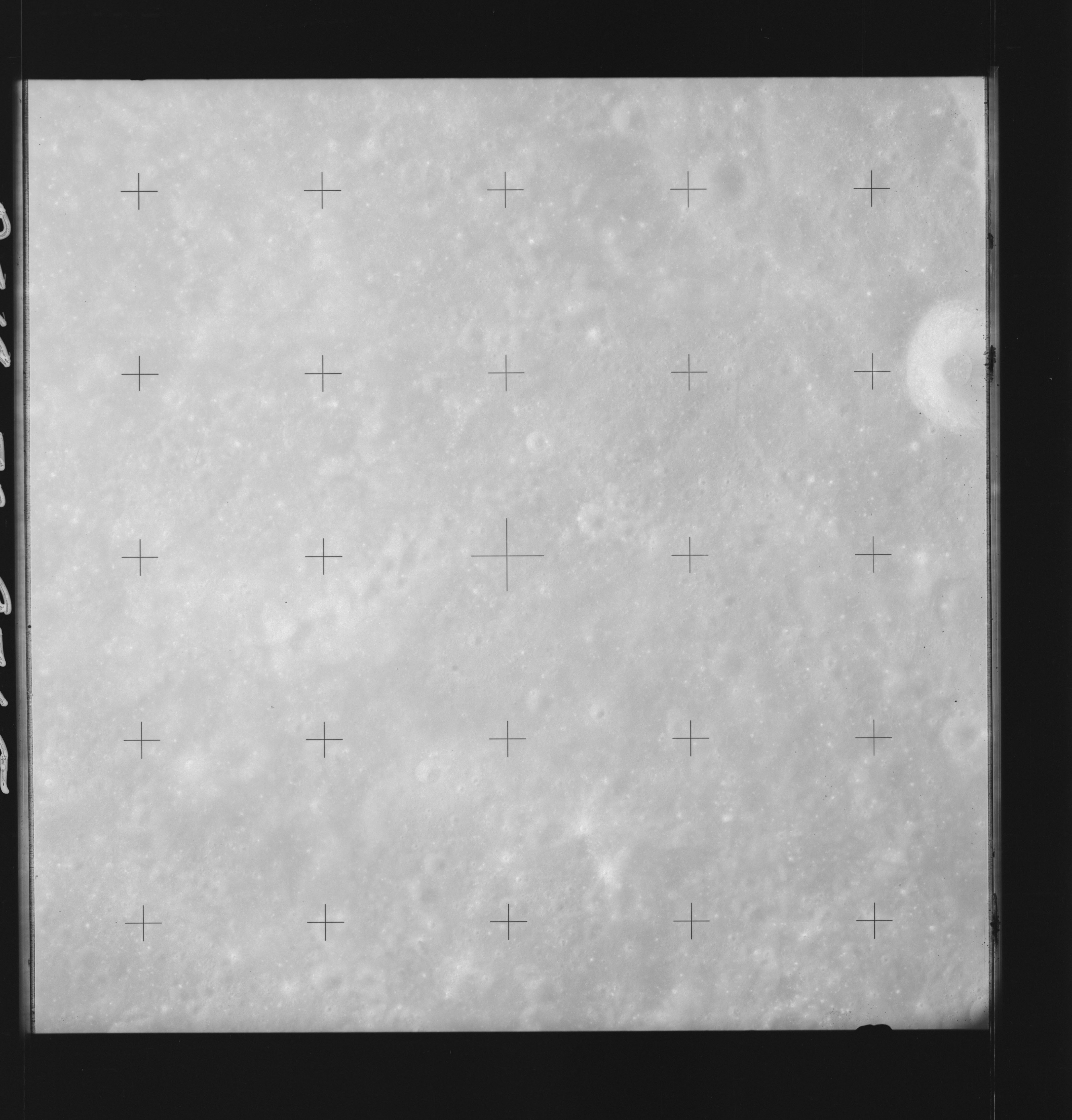 | AS14-70-9715 ANSGARIUS N Location: 10.5° S, 83.5° E Image credit: National Archives and Records Administration |
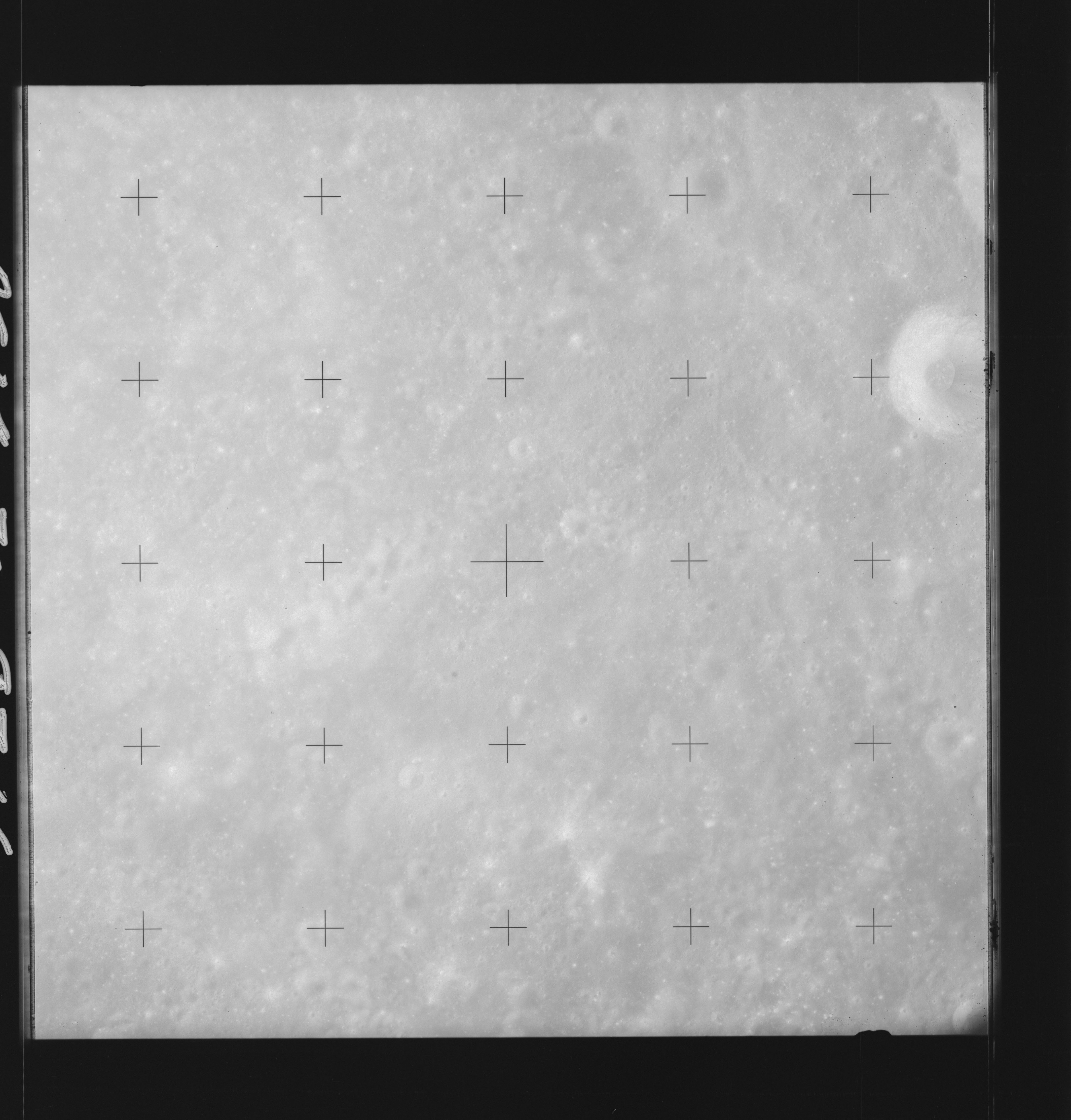 | AS14-70-9716 ANSGARIUS N Location: 10.5° S, 83.5° E Image credit: National Archives and Records Administration |
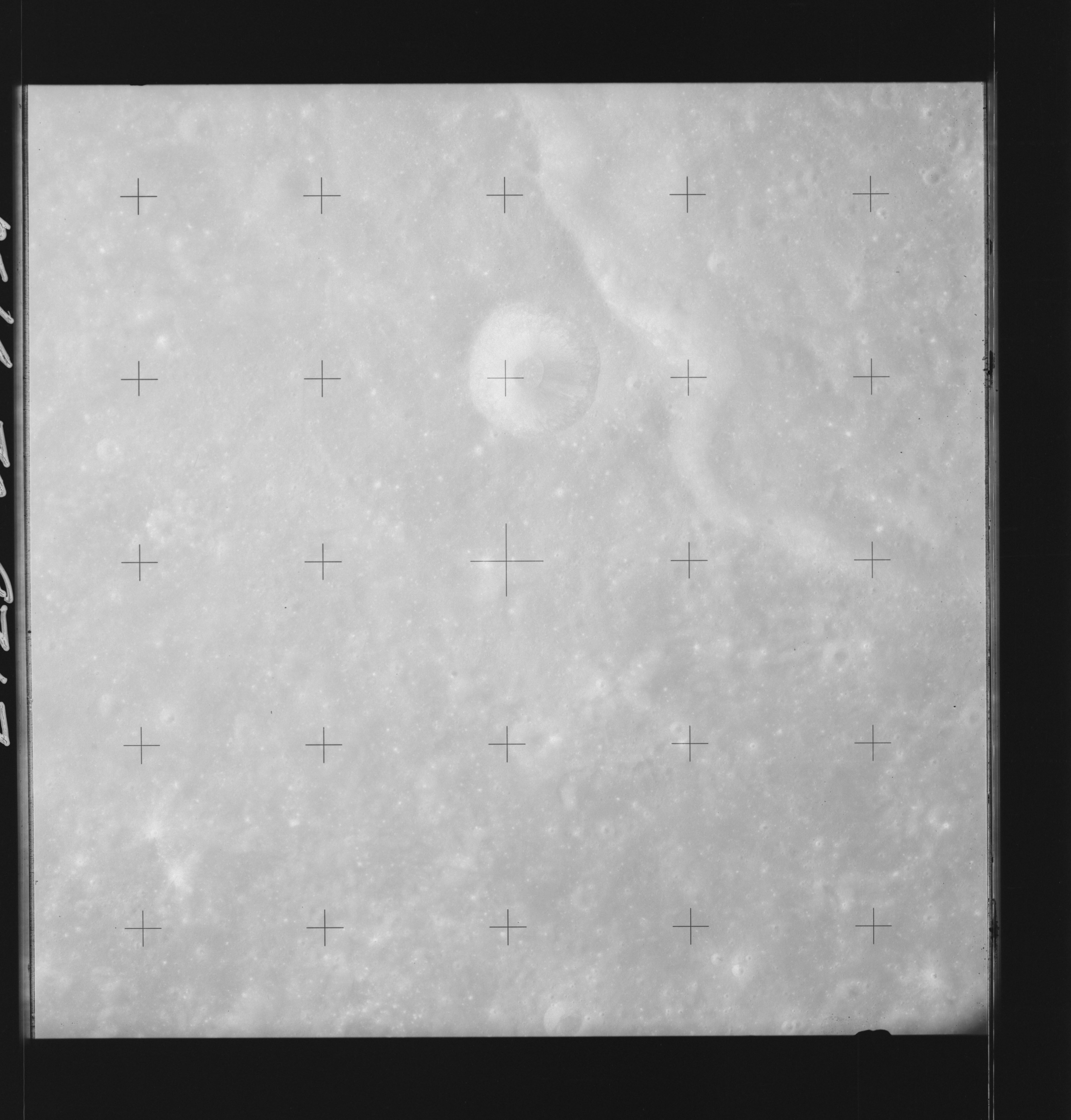 | AS14-70-9717 ANSGARIUS, ANSGARIUS N Location: 10.5° S, 81.5° E Image credit: National Archives and Records Administration |
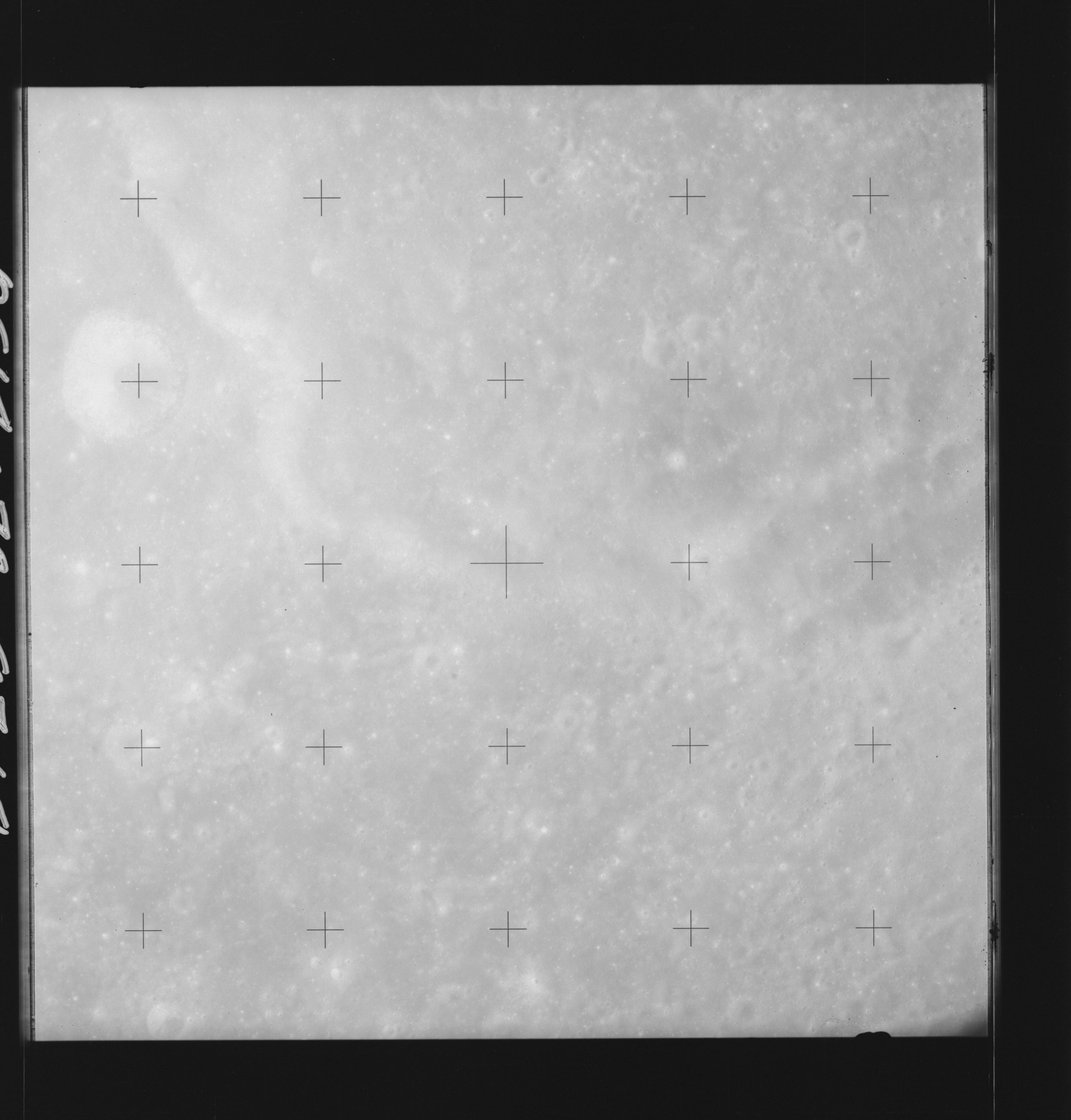 | AS14-70-9718 ANSGARIUS, ANSGARIUS N, LA PEROUSE E Location: 10.5° S, 80.5° E Image credit: National Archives and Records Administration |
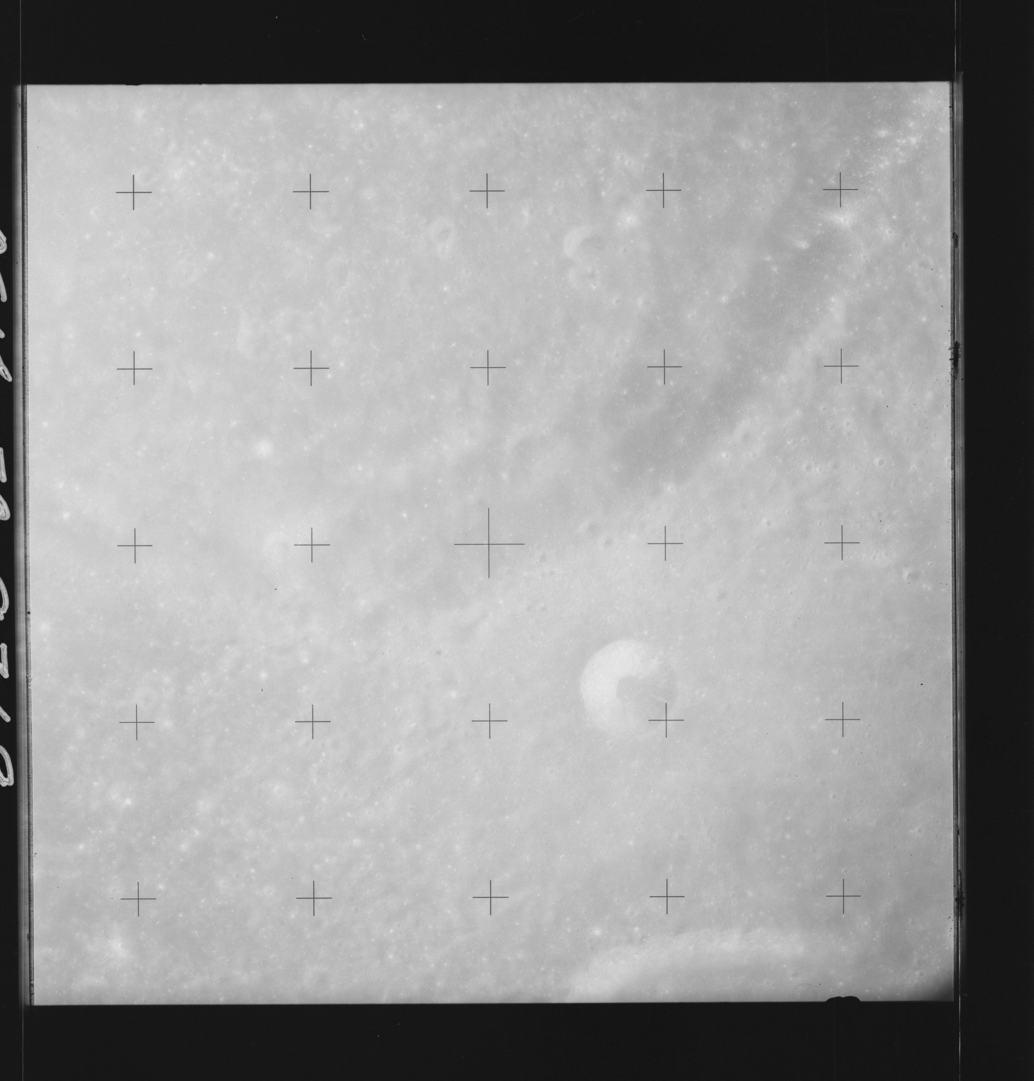 | AS14-70-9719 ANSGARIUS, ANSGARIUS M, LA PEROUSE E Location: 11° S, 79.5° E Image credit: National Archives and Records Administration |
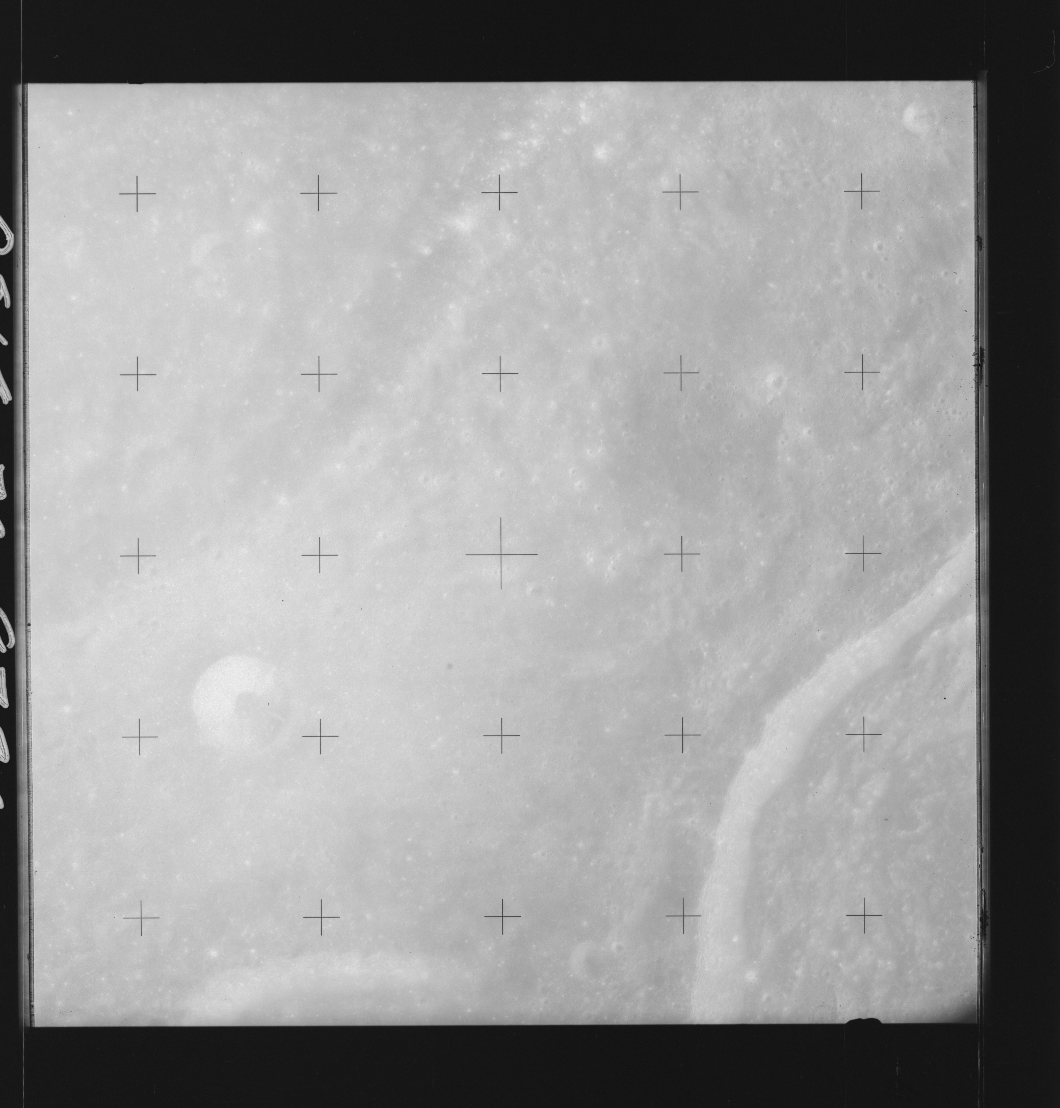 | AS14-70-9720 ANSGARIUS, ANSGARIUS M, LA PEROUSE E Location: 11° S, 78.5° E Image credit: National Archives and Records Administration |
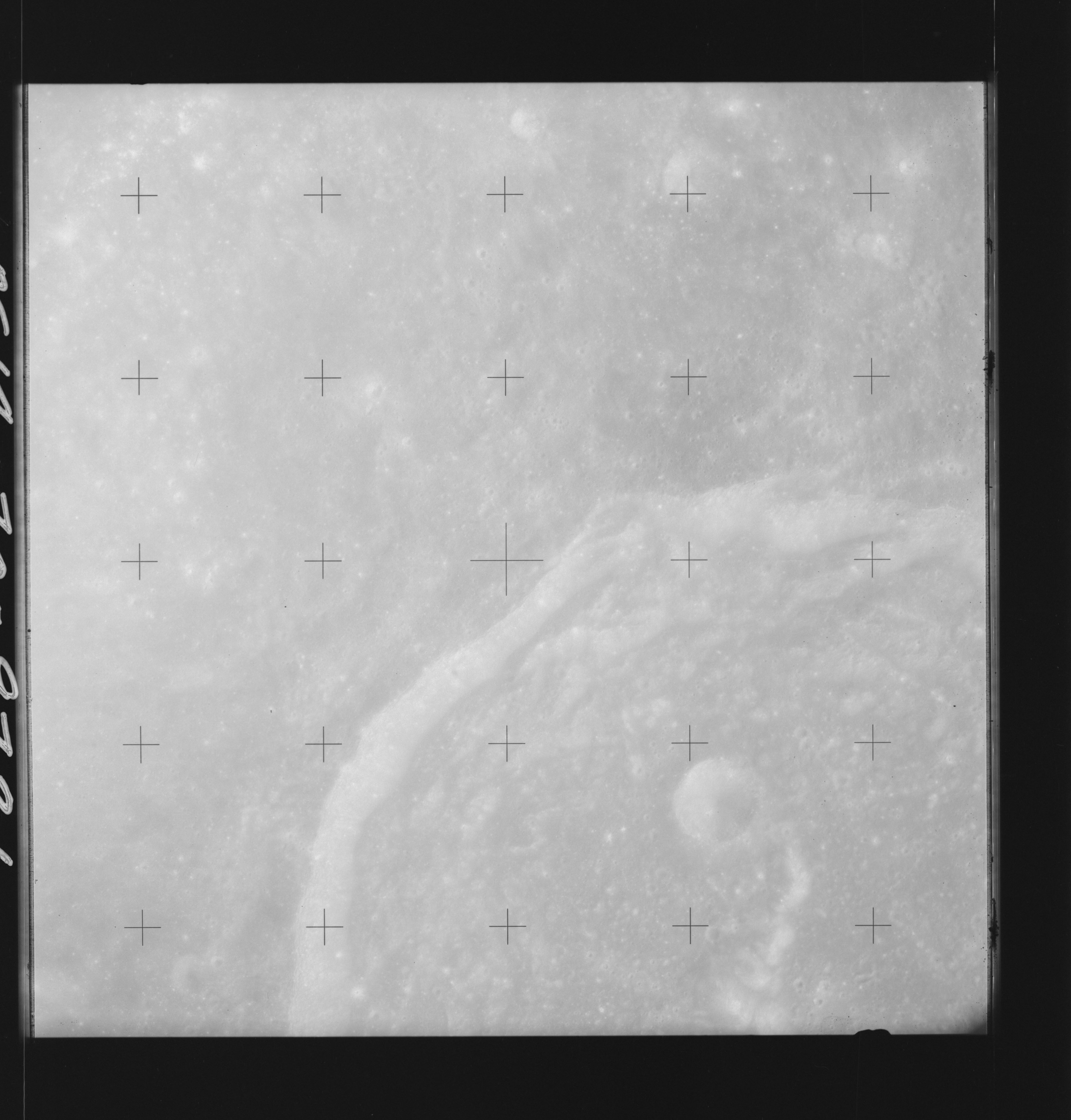 | AS14-70-9721 ANSGARIUS, LA PEROUSE, LA PEROUSE E Location: 11° S, 77.5° E Image credit: National Archives and Records Administration |
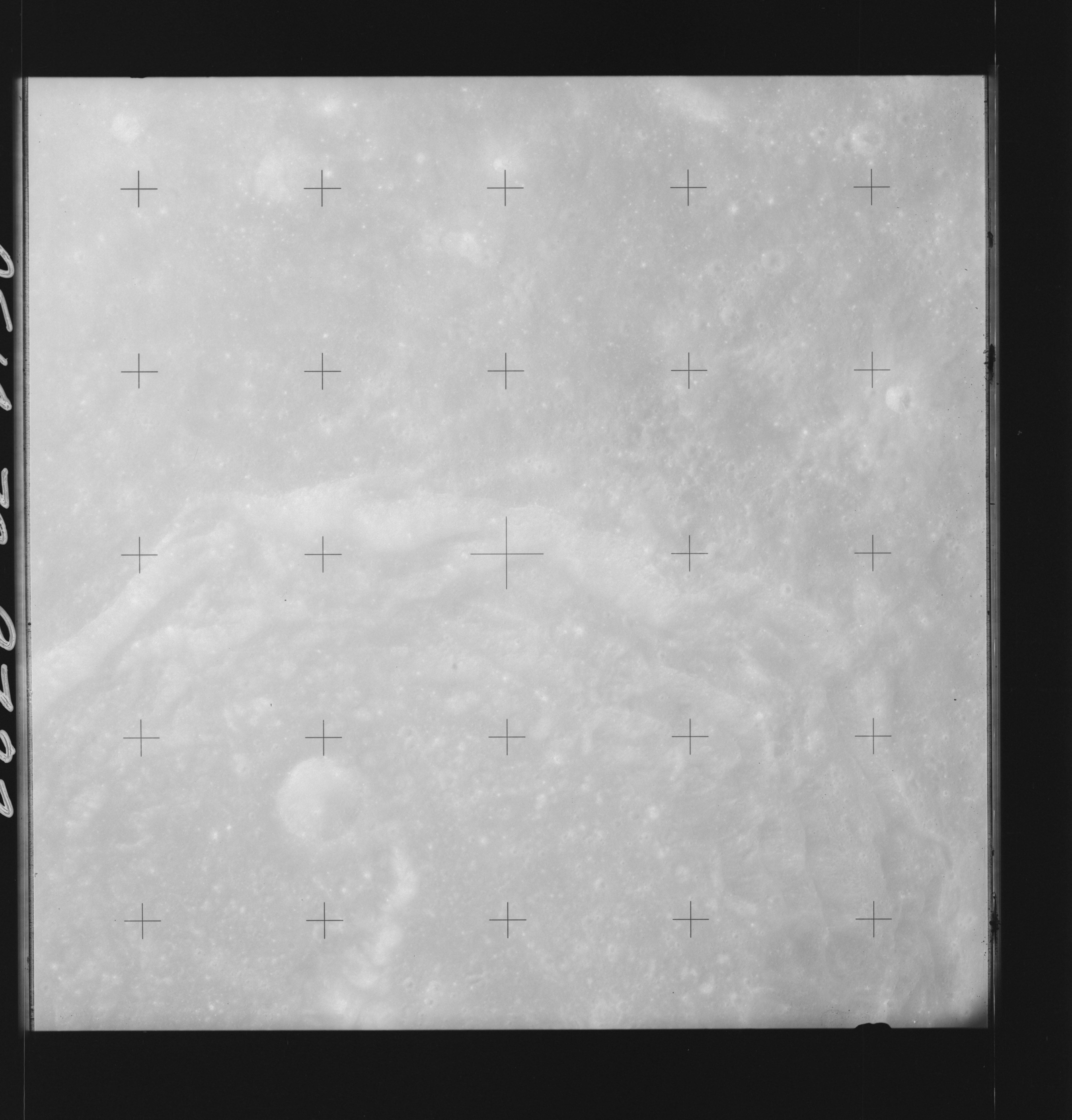 | AS14-70-9722 LA PEROUSE Location: 11° S, 76° E Image credit: National Archives and Records Administration |
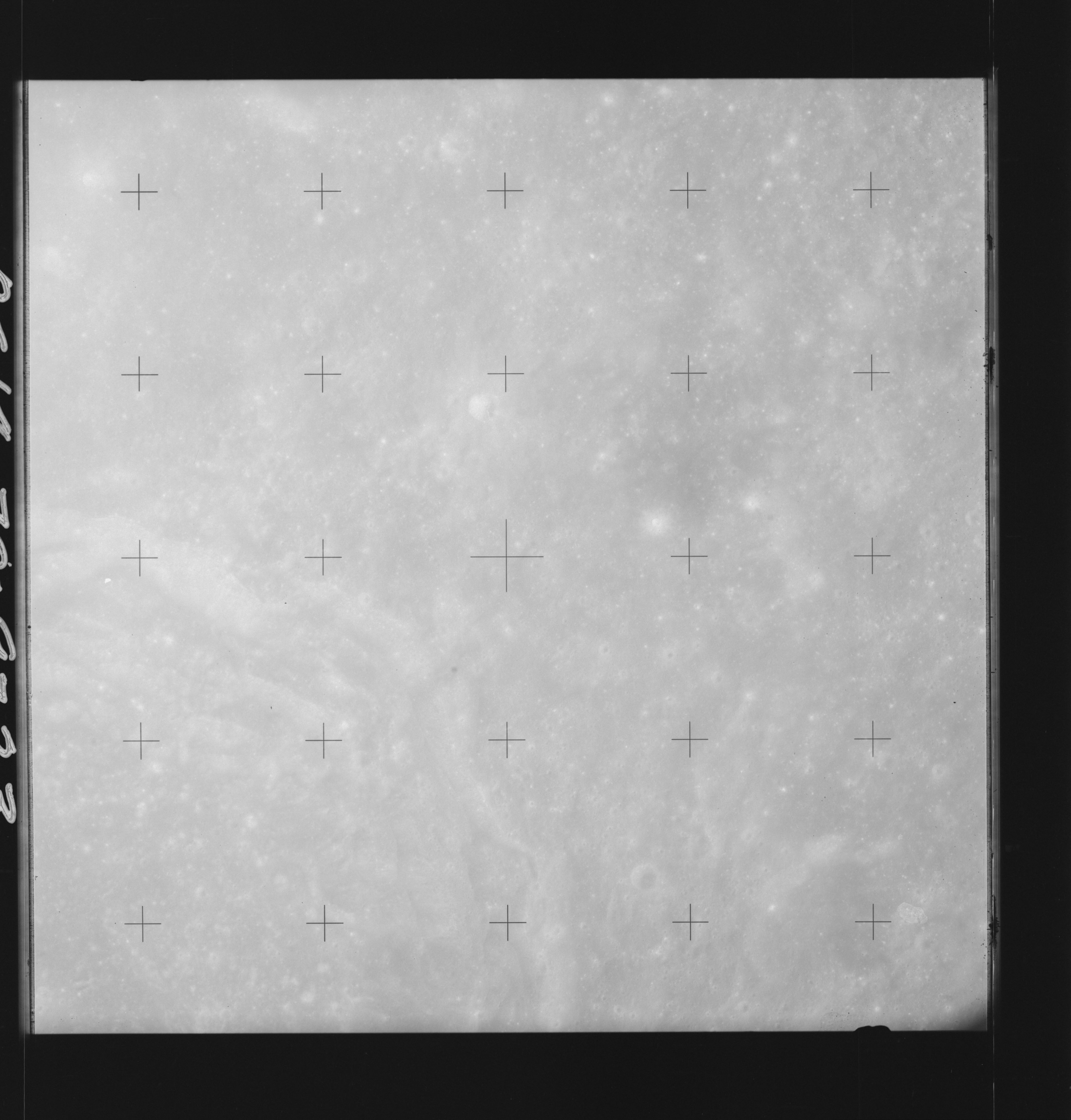 | AS14-70-9723 LA PEROUSE Location: 11.5° S, 75.5° E Image credit: National Archives and Records Administration |
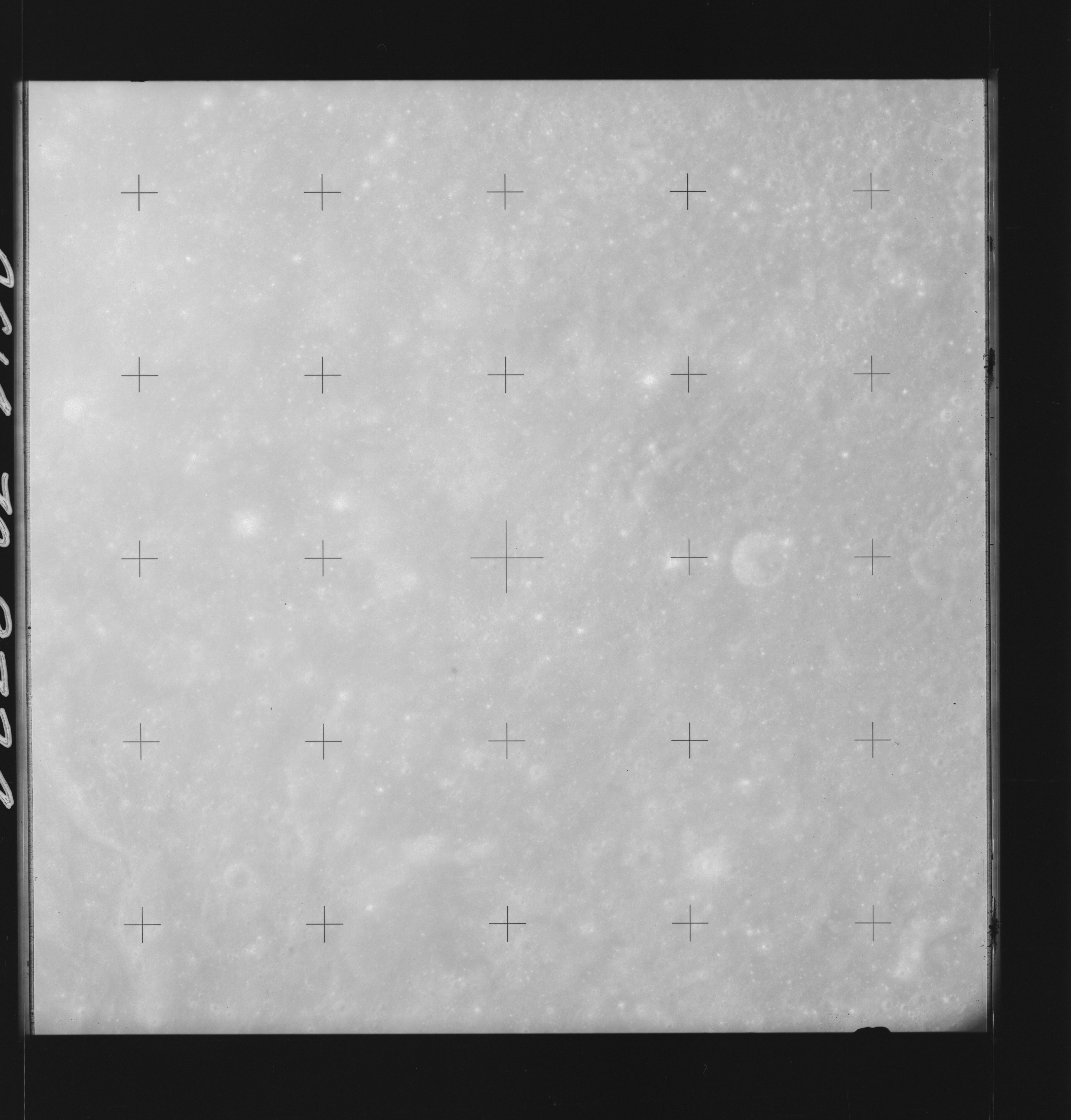 | AS14-70-9724 LA PEROUSE Location: 12° S, 74.5° E Image credit: National Archives and Records Administration |
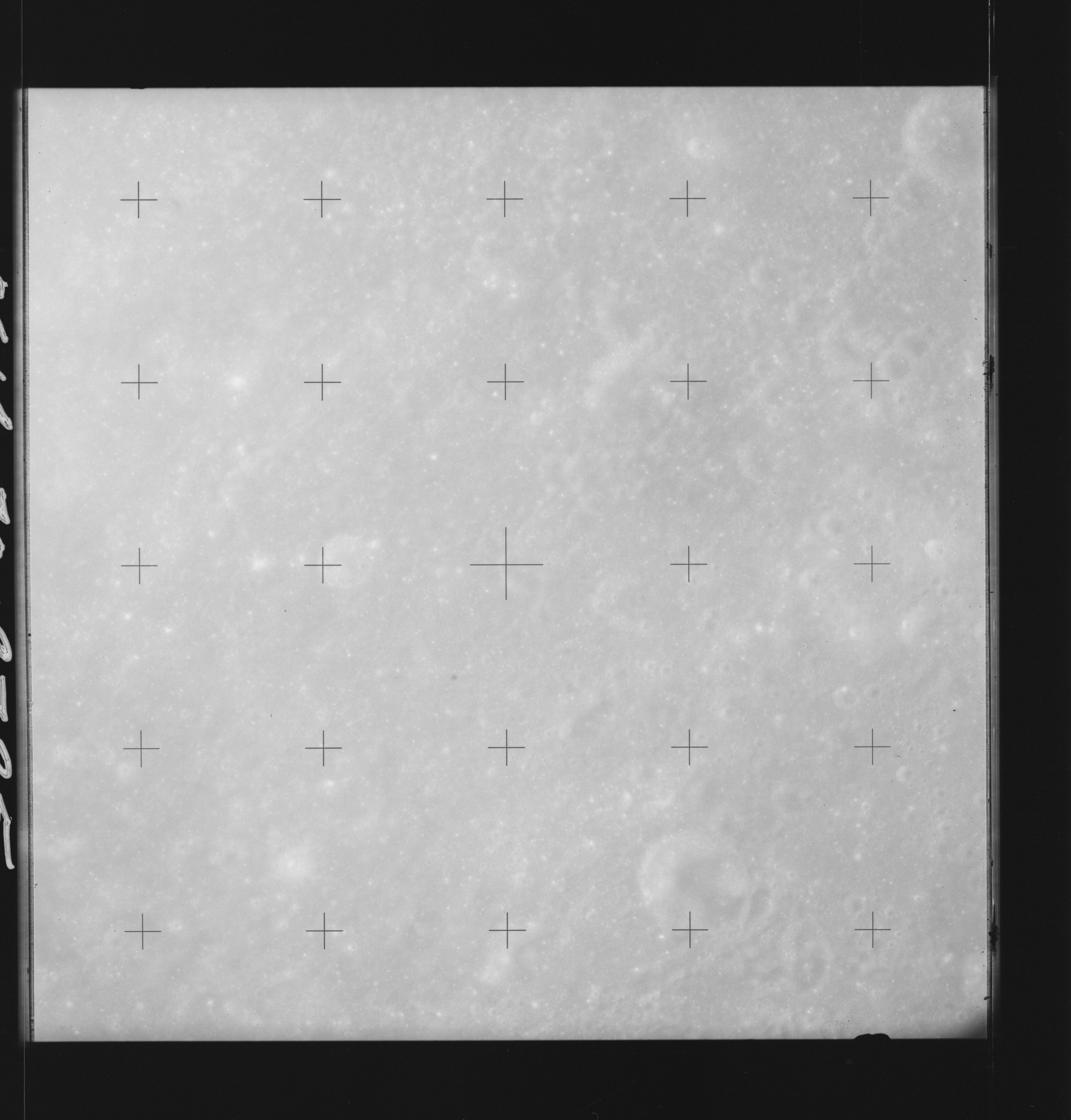 | AS14-70-9725 LA PEROUSE AREA Location: 12° S, 73.5° E Image credit: National Archives and Records Administration |
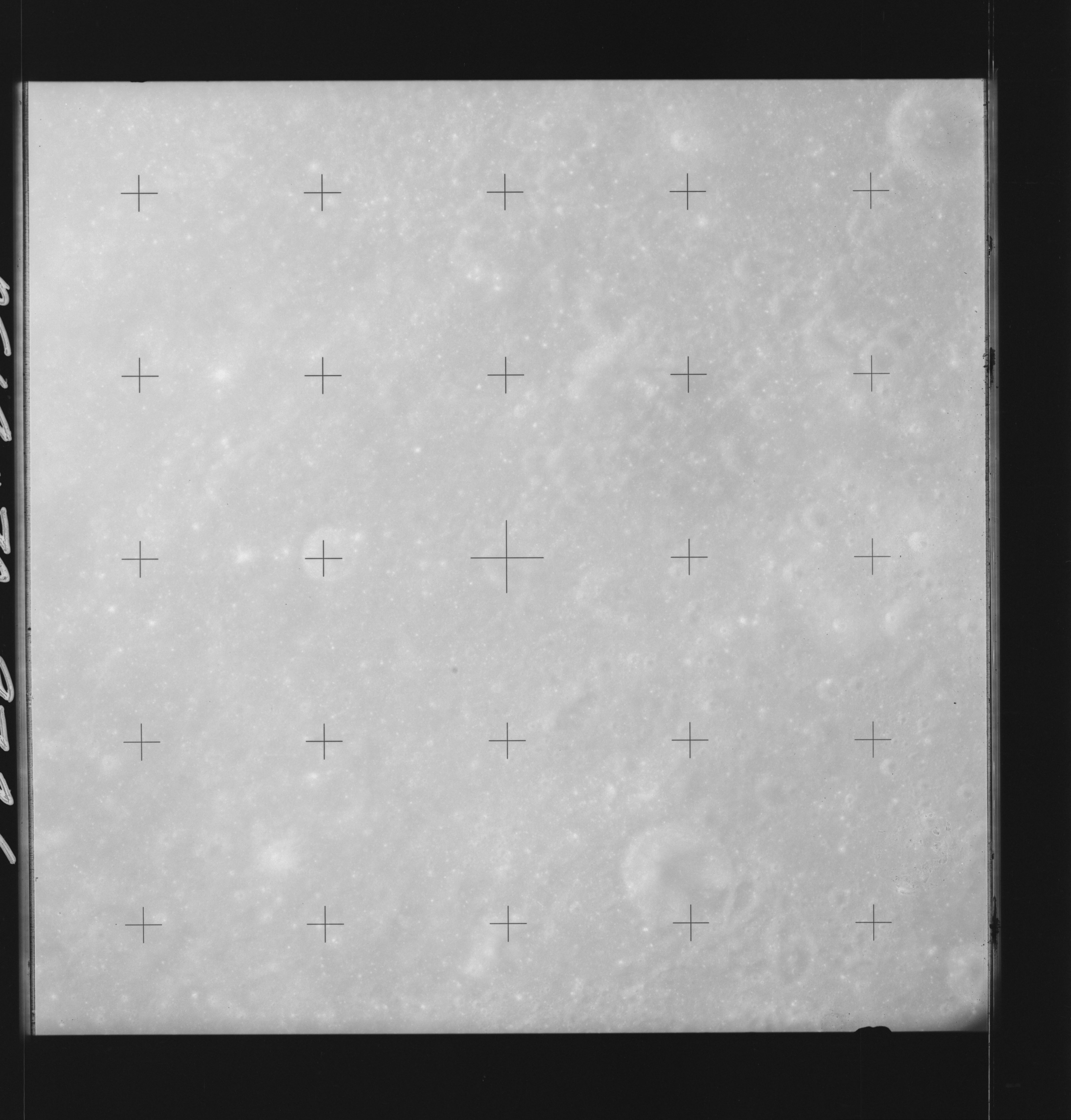 | AS14-70-9726 LA PEROUSE AREA Location: 12° S, 73.5° E Image credit: National Archives and Records Administration |
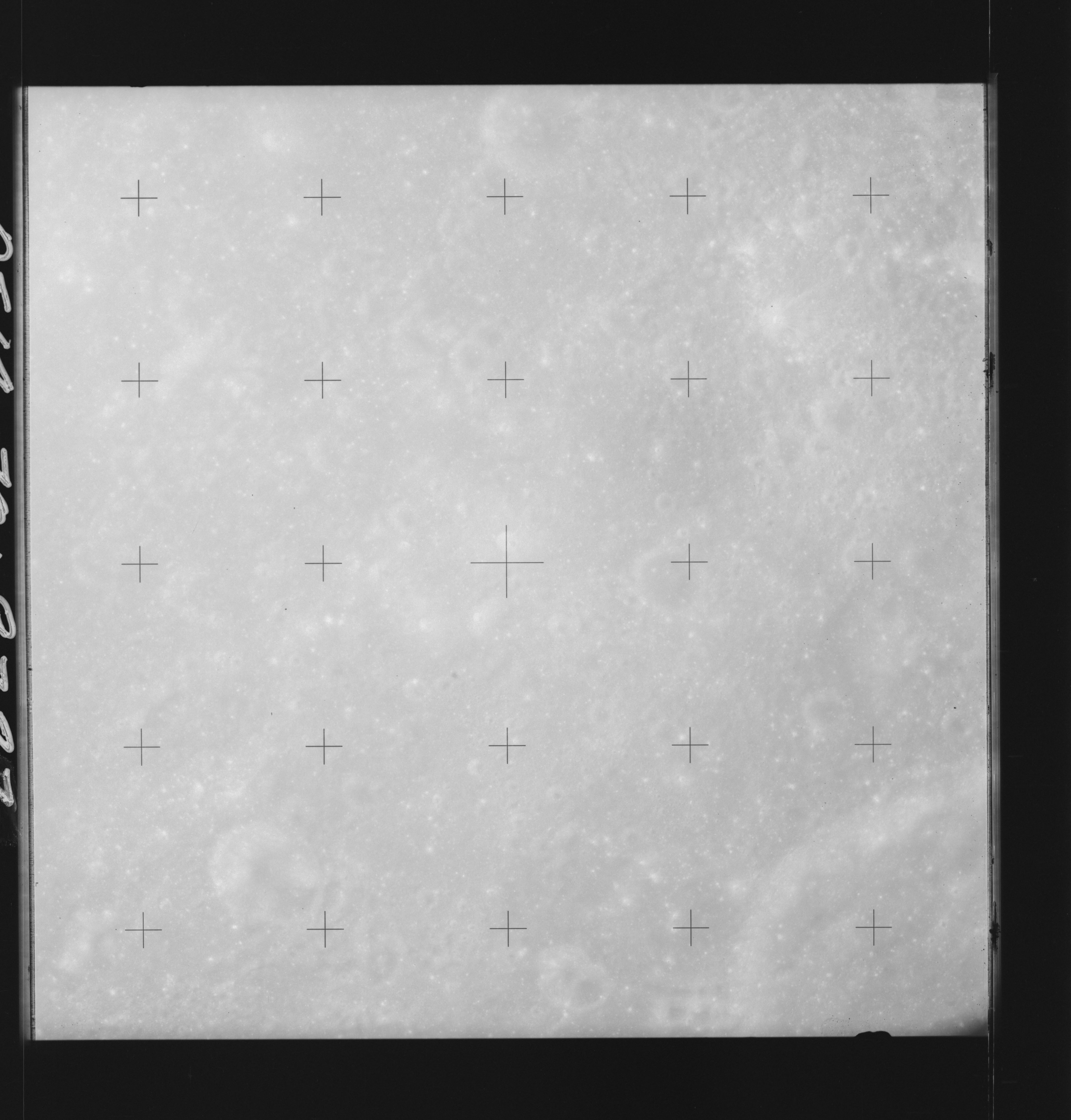 | AS14-70-9727 KAPTEYN Location: 12° S, 72° E Image credit: National Archives and Records Administration |
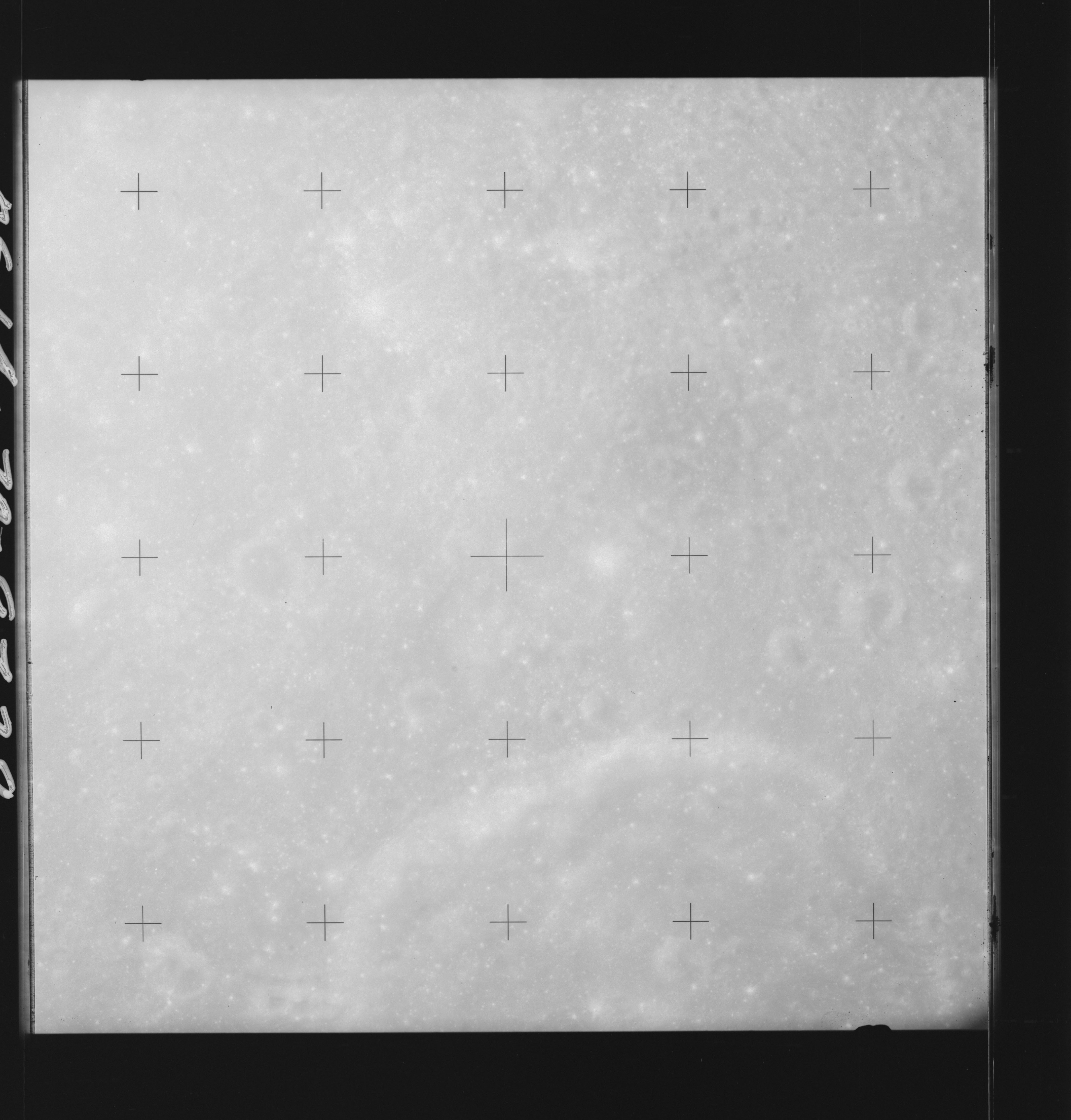 | AS14-70-9728 KAPTEYN Location: 12° S, 71.5° E Image credit: National Archives and Records Administration |
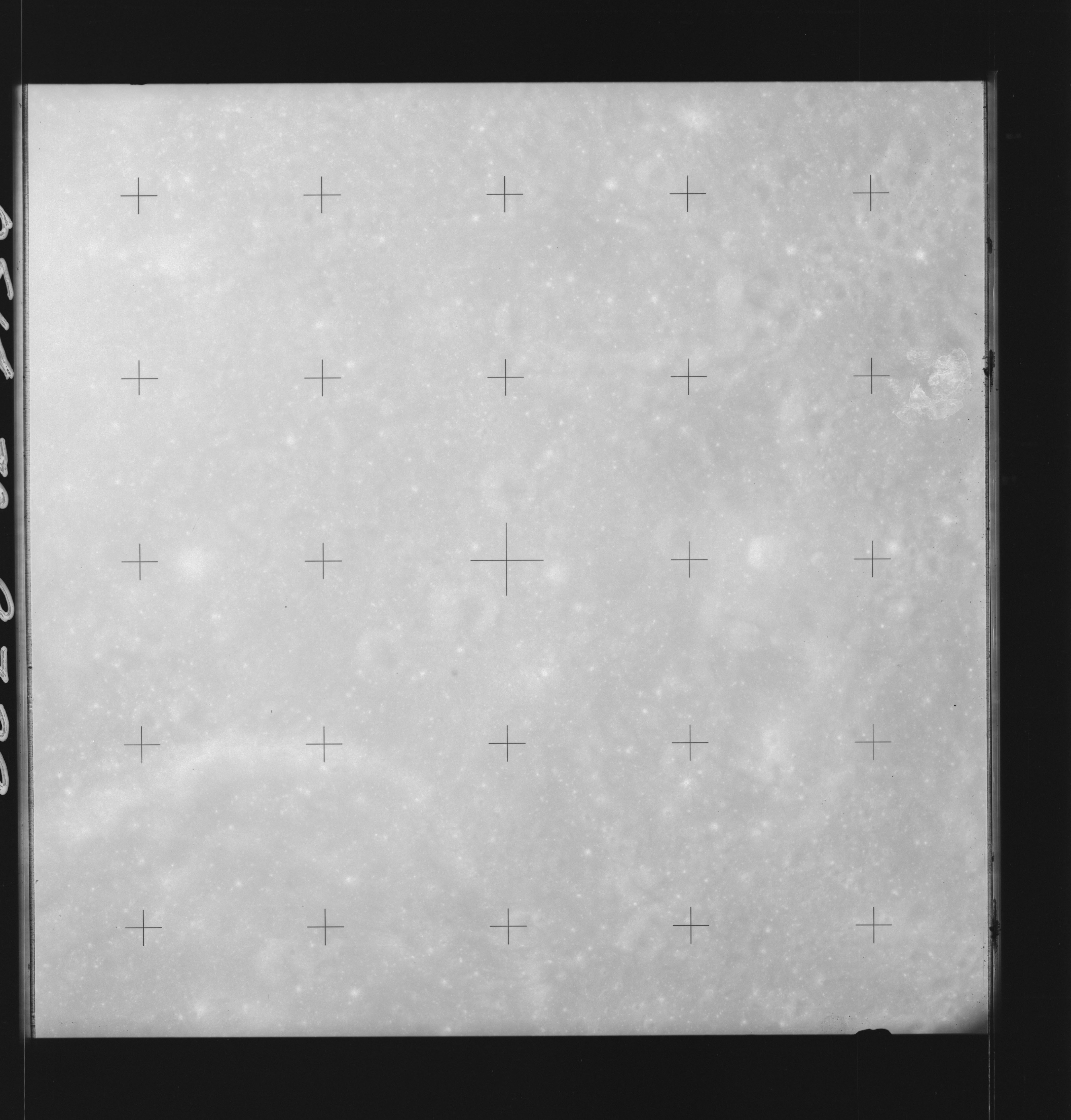 | AS14-70-9729 KAPTEYN Location: 12° S, 70.5° E Image credit: National Archives and Records Administration |
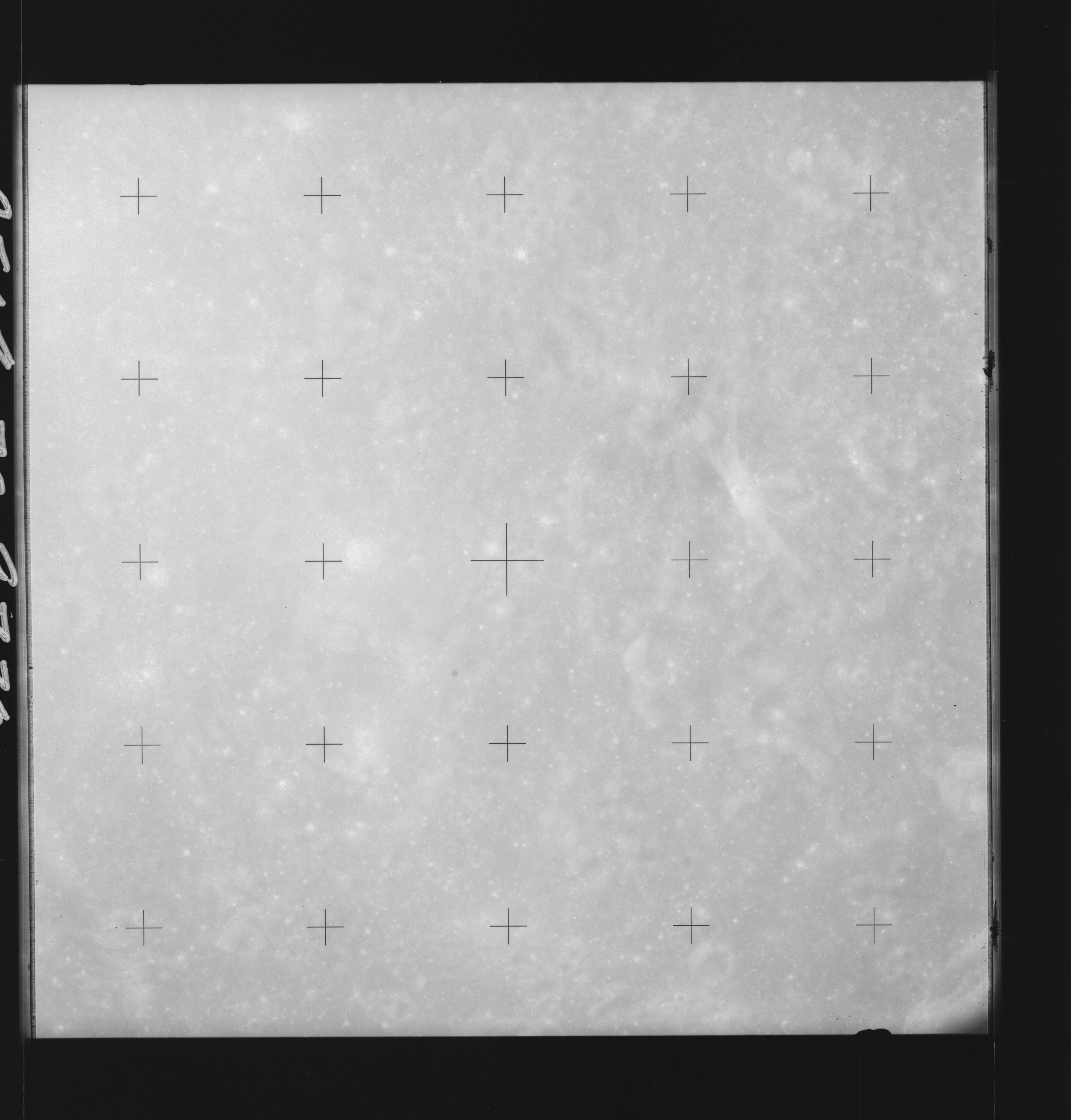 | AS14-70-9730 KAPTEYN, Southeast of Location: 12° S, 69° E Image credit: National Archives and Records Administration |
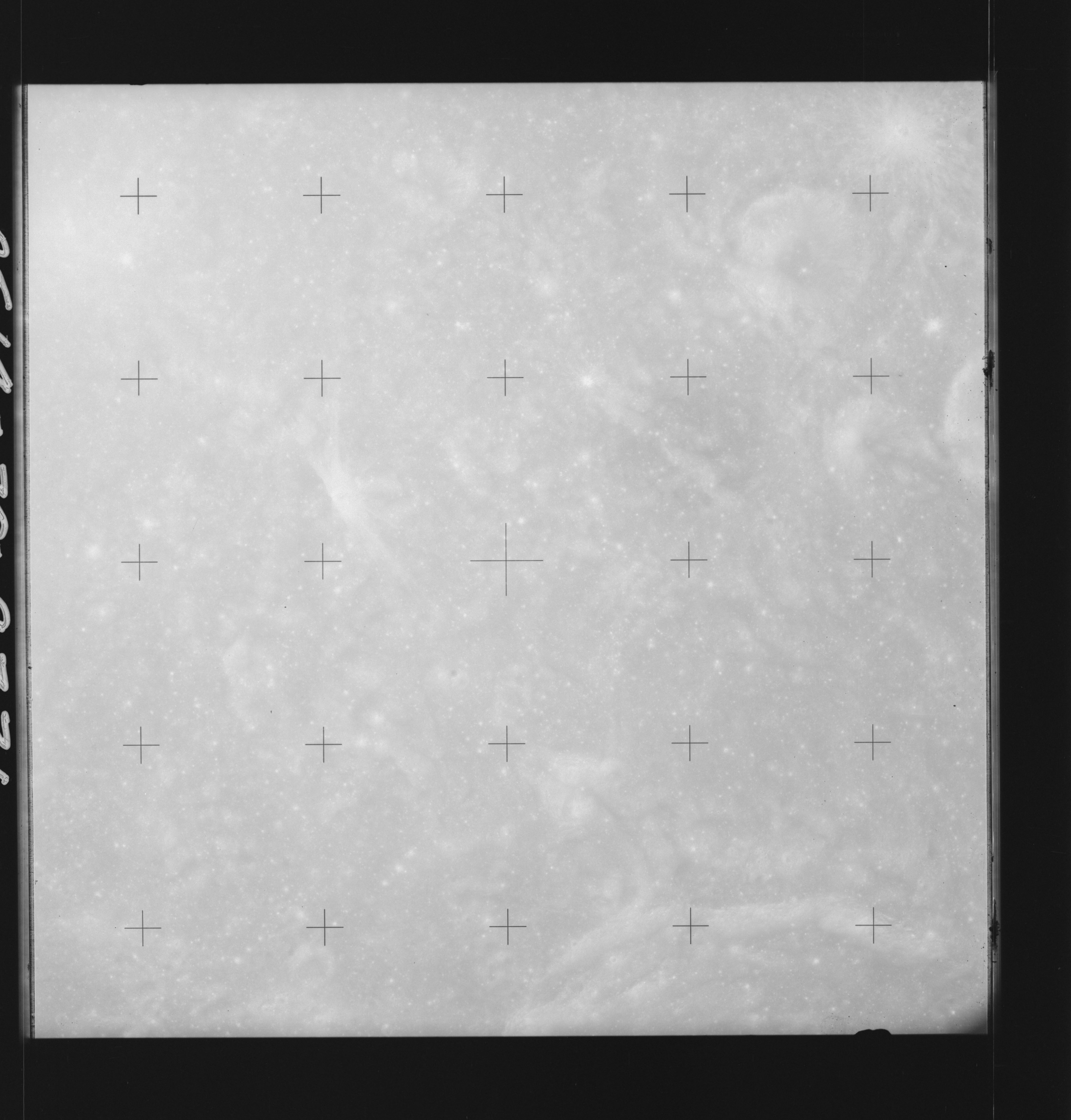 | AS14-70-9731 LANGRENUS A Location: 12° S, 68° E Image credit: National Archives and Records Administration |
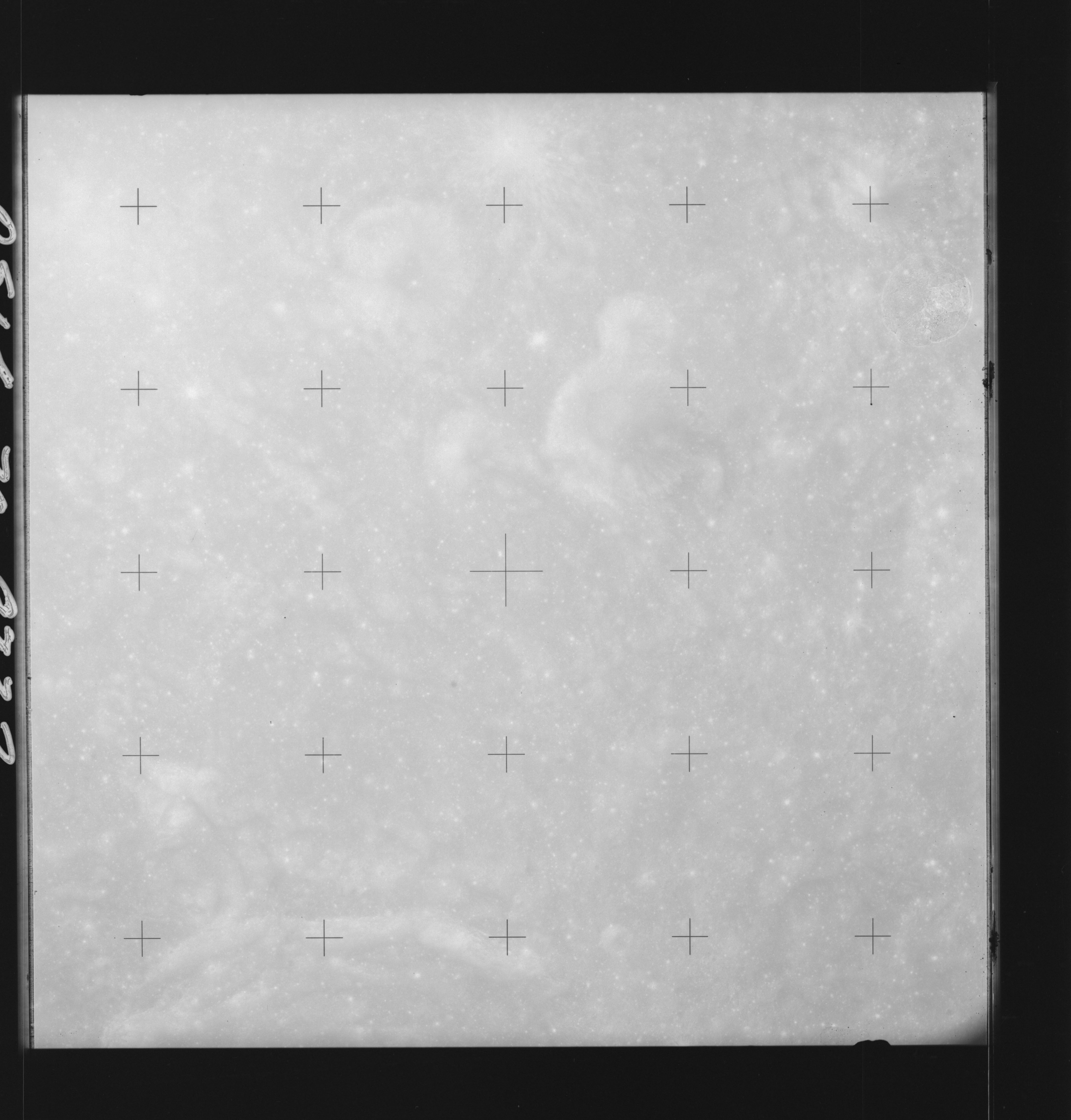 | AS14-70-9732 LANGRENUS A Location: 12° S, 66.5° E Image credit: National Archives and Records Administration |
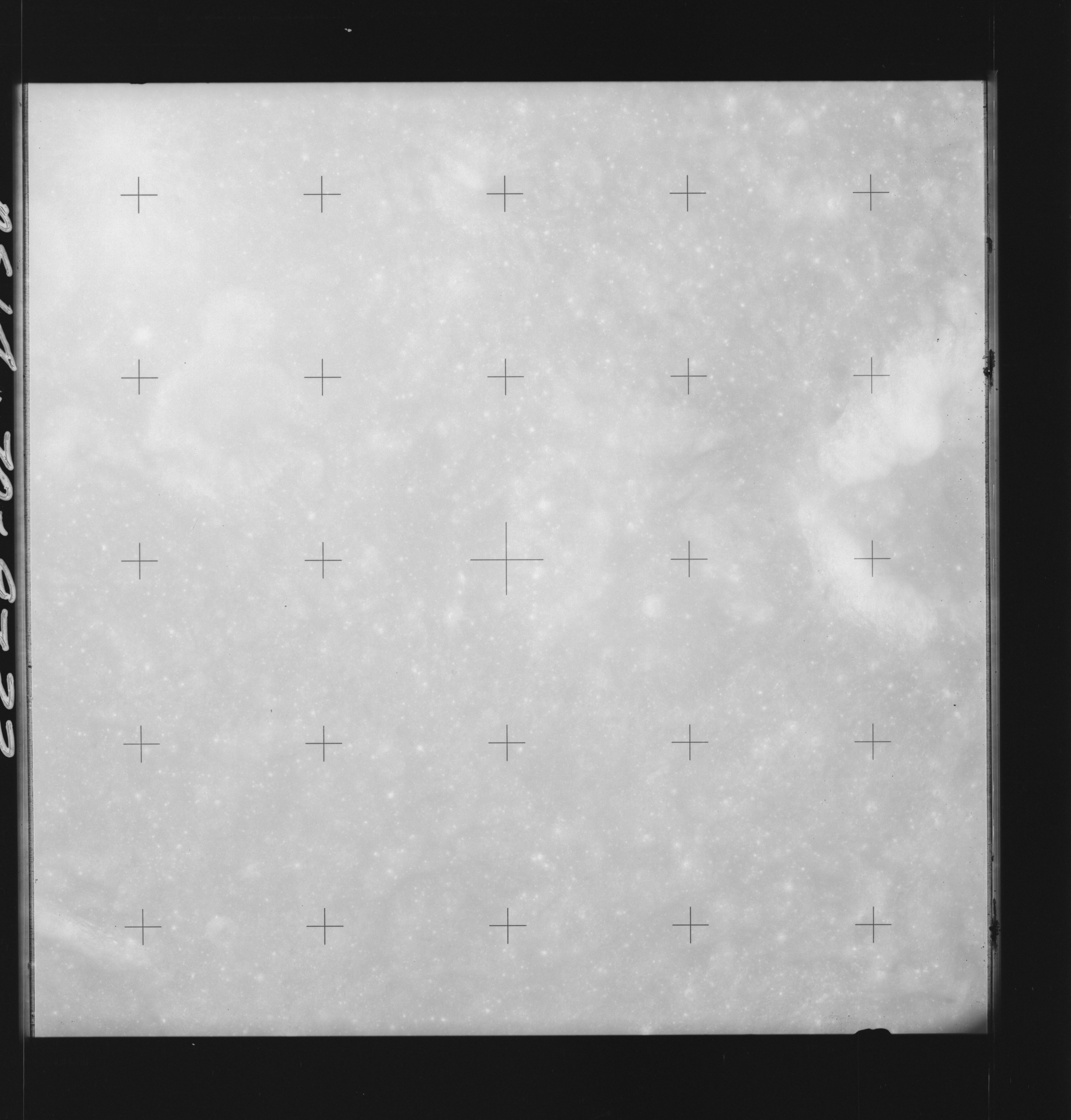 | AS14-70-9733 LANGRENUS A Location: 11.5° S, 65.5° E Image credit: National Archives and Records Administration |
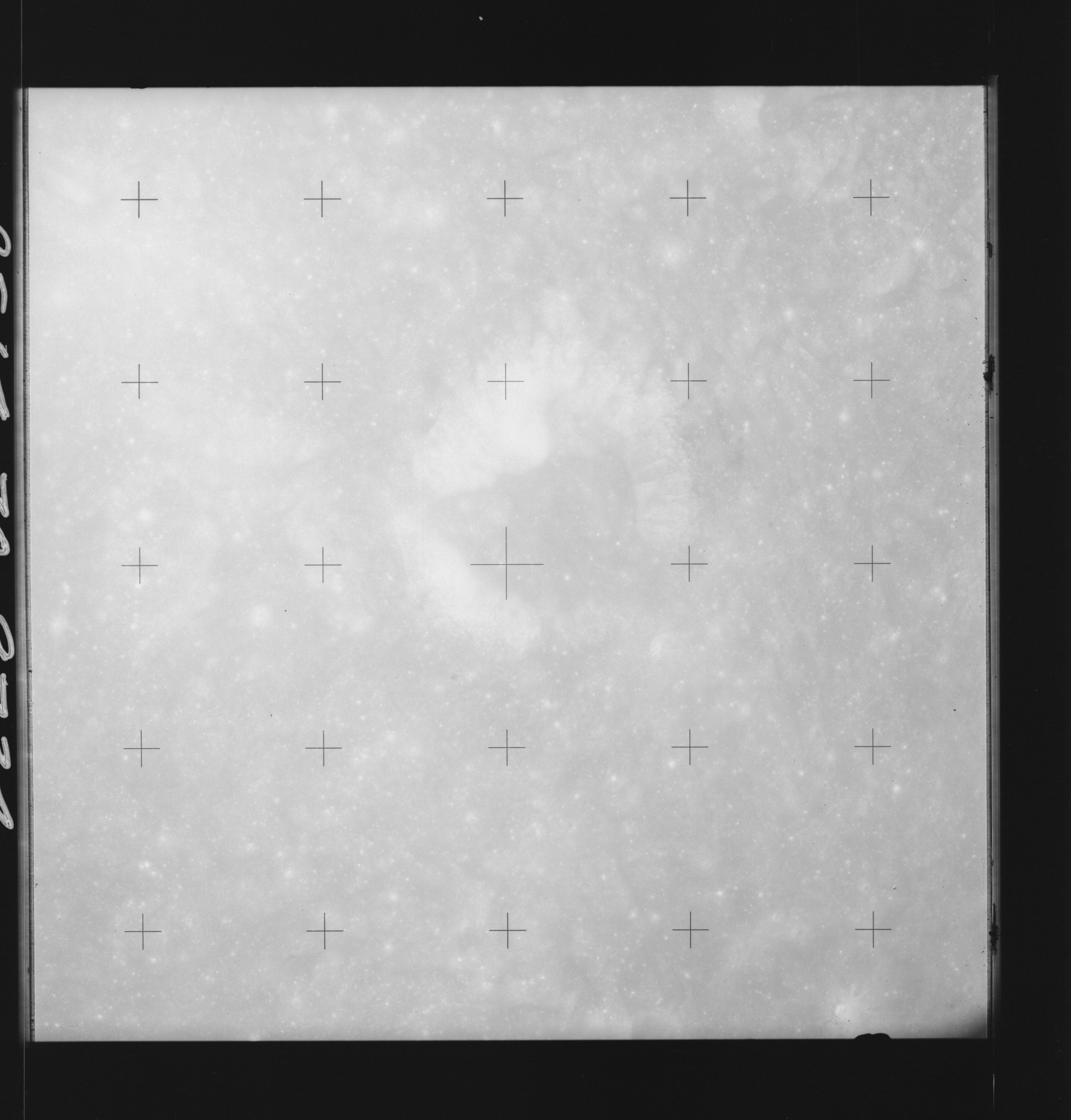 | AS14-70-9734 LANGRENUS P Location: 11.5° S, 65° E Image credit: National Archives and Records Administration |
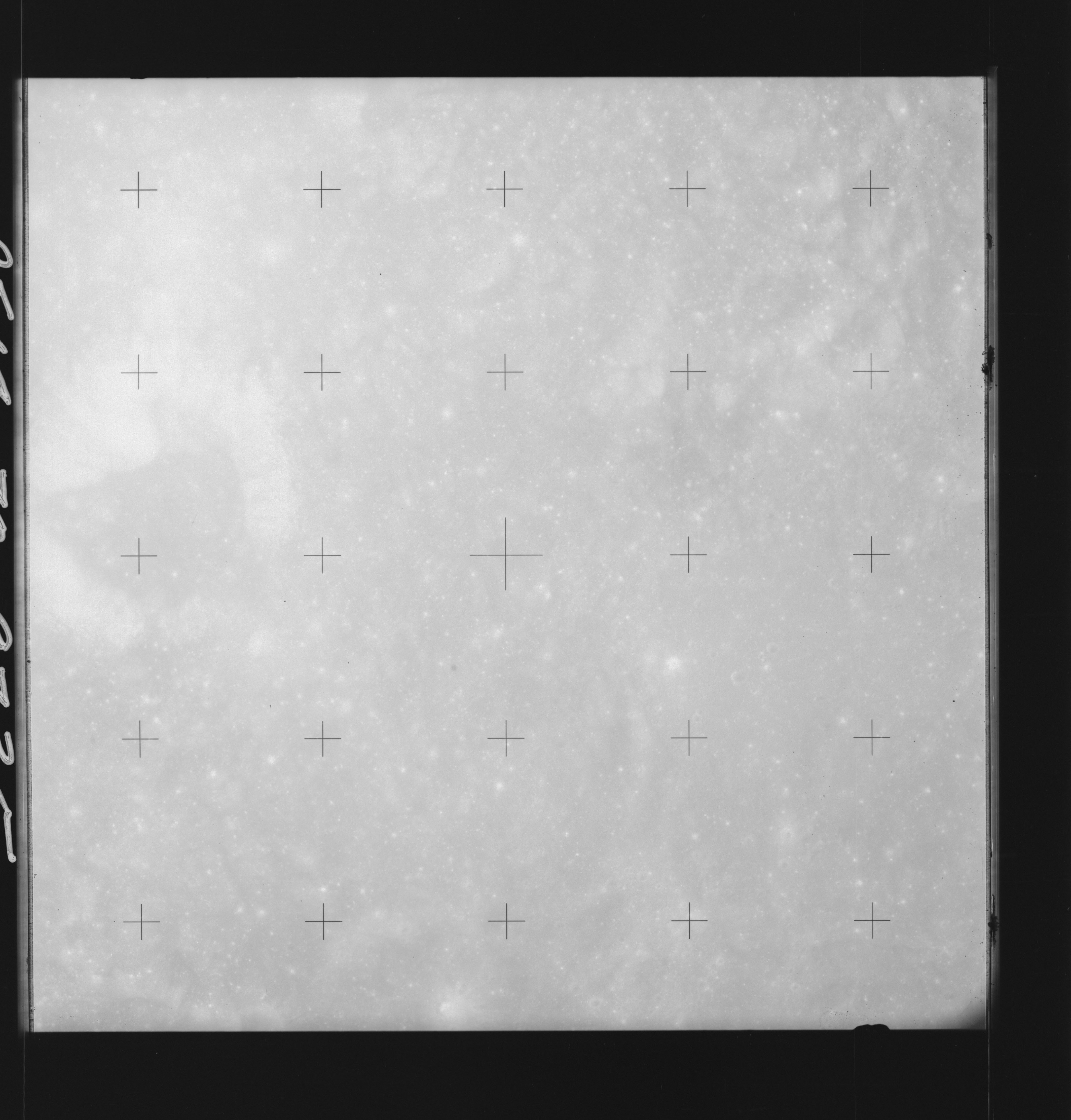 | AS14-70-9735 LANGRENUS P Location: 12° S, 64° E Image credit: National Archives and Records Administration |
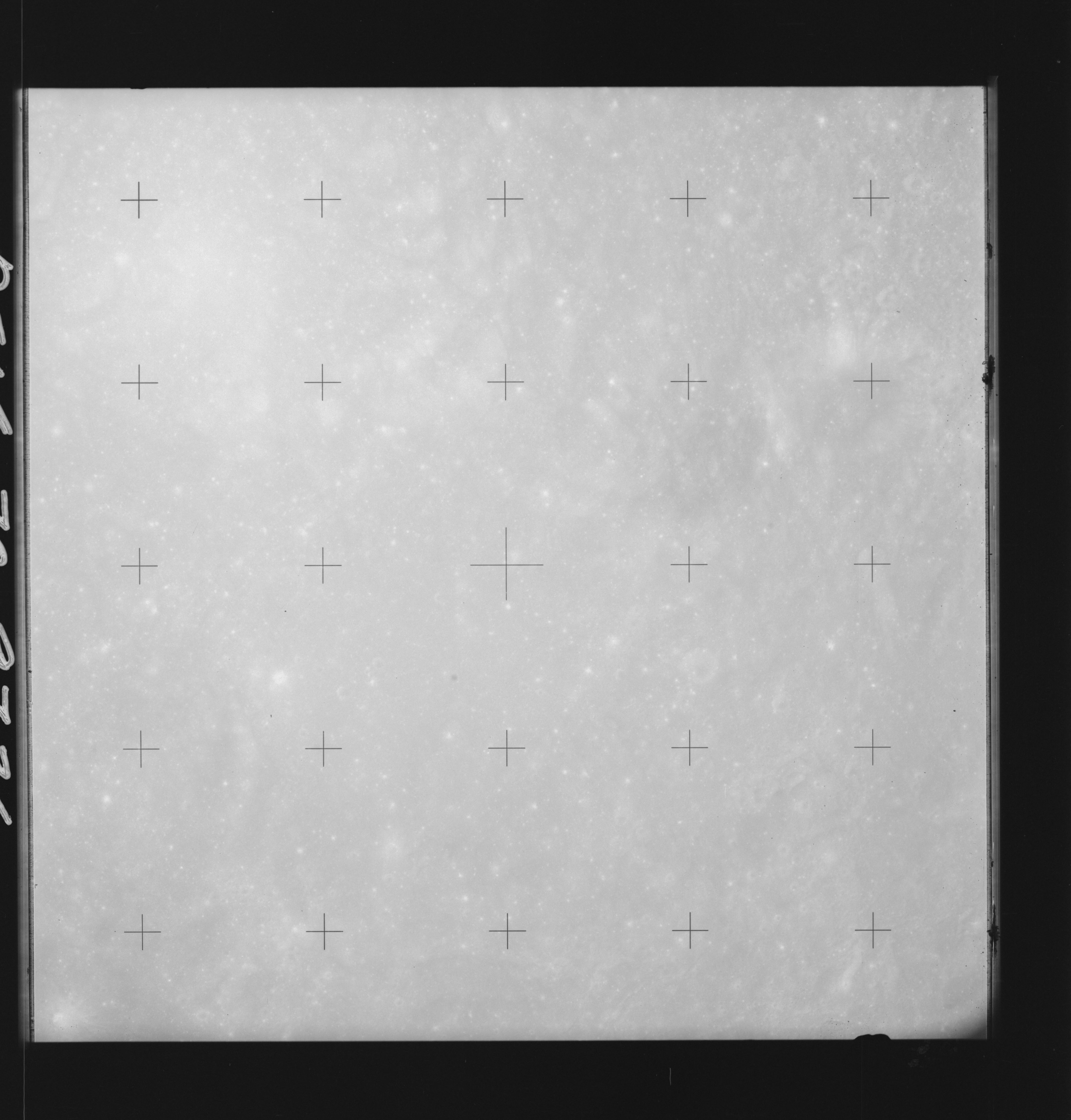 | AS14-70-9736 LANGRENUS P Location: 12° S, 63° E Image credit: National Archives and Records Administration |
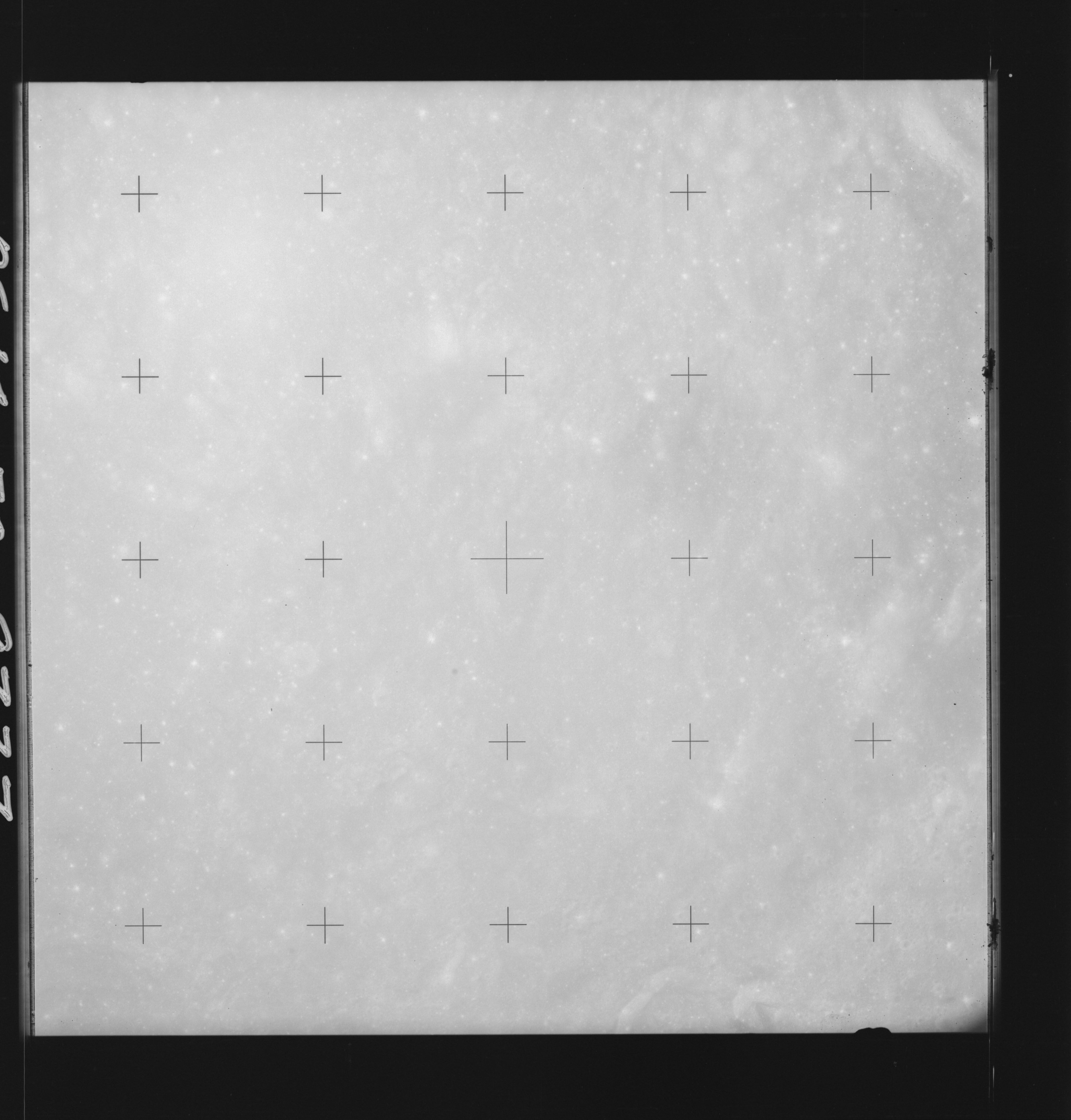 | AS14-70-9737 LANGRENUS Location: 12° S, 62° E Image credit: National Archives and Records Administration |
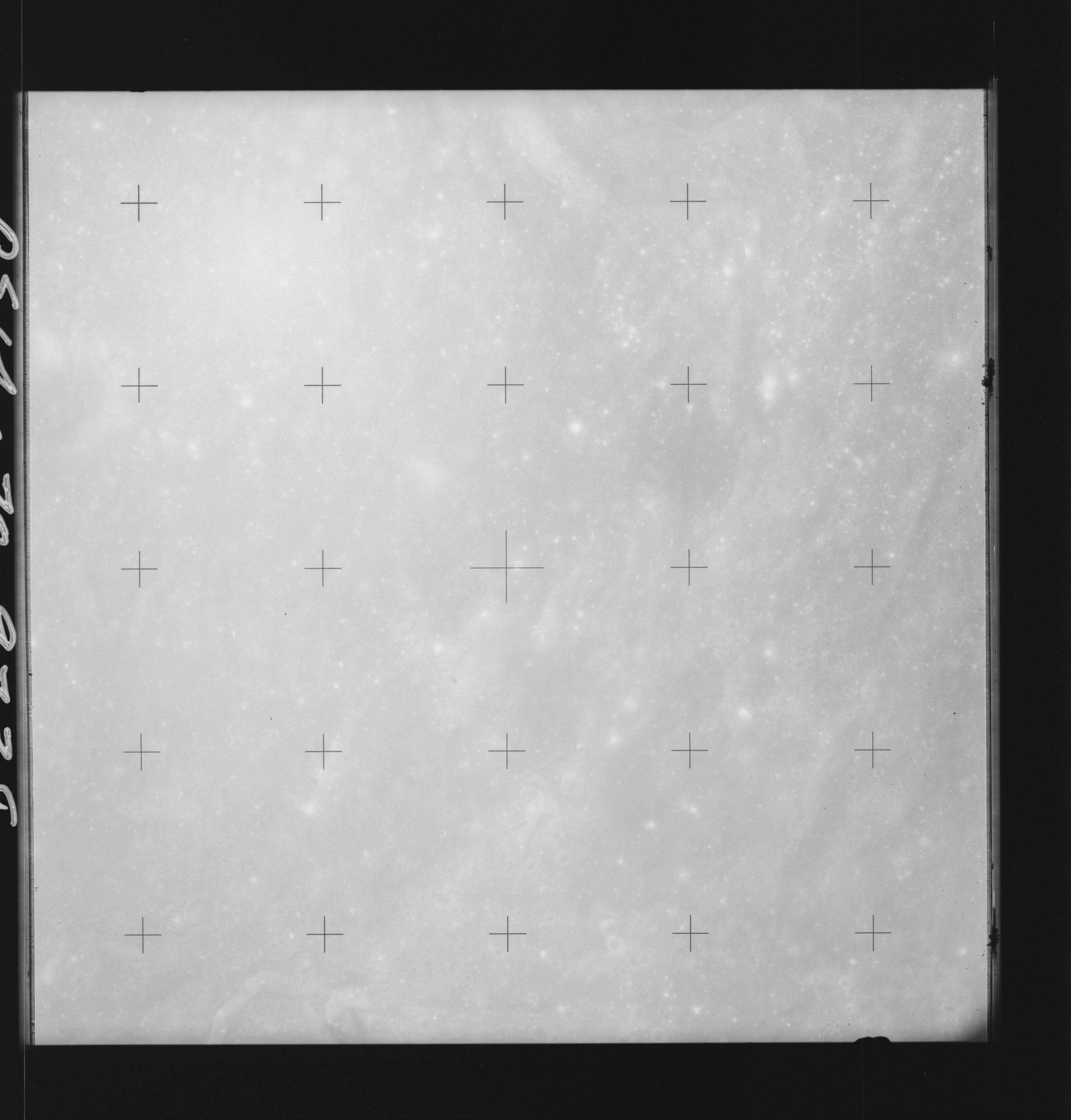 | AS14-70-9738 LANGRENUS, LOHSE Location: 12° S, 61° E Image credit: National Archives and Records Administration |
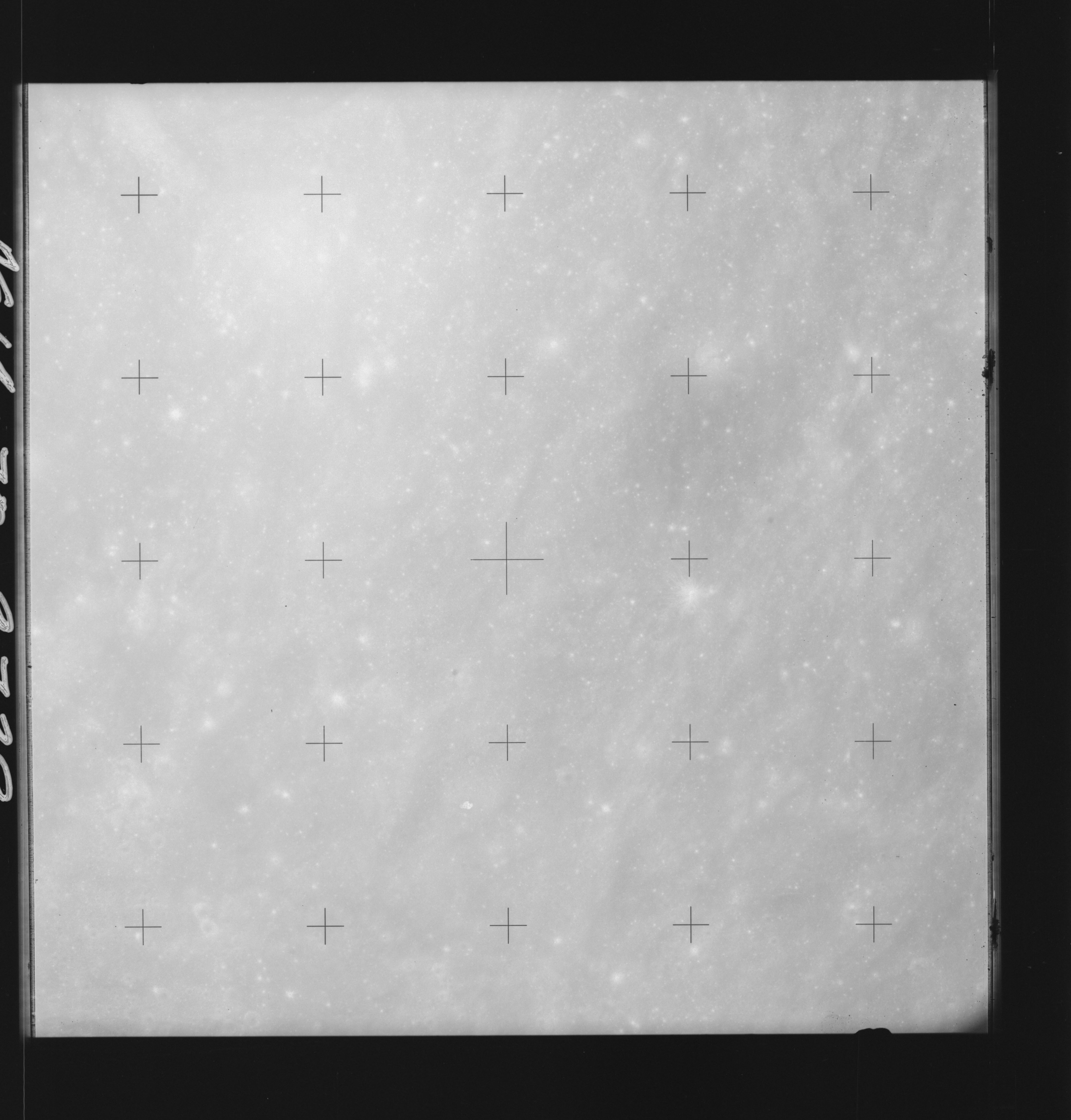 | AS14-70-9739 LANGRENUS Location: 12° S, 60° E Image credit: National Archives and Records Administration |
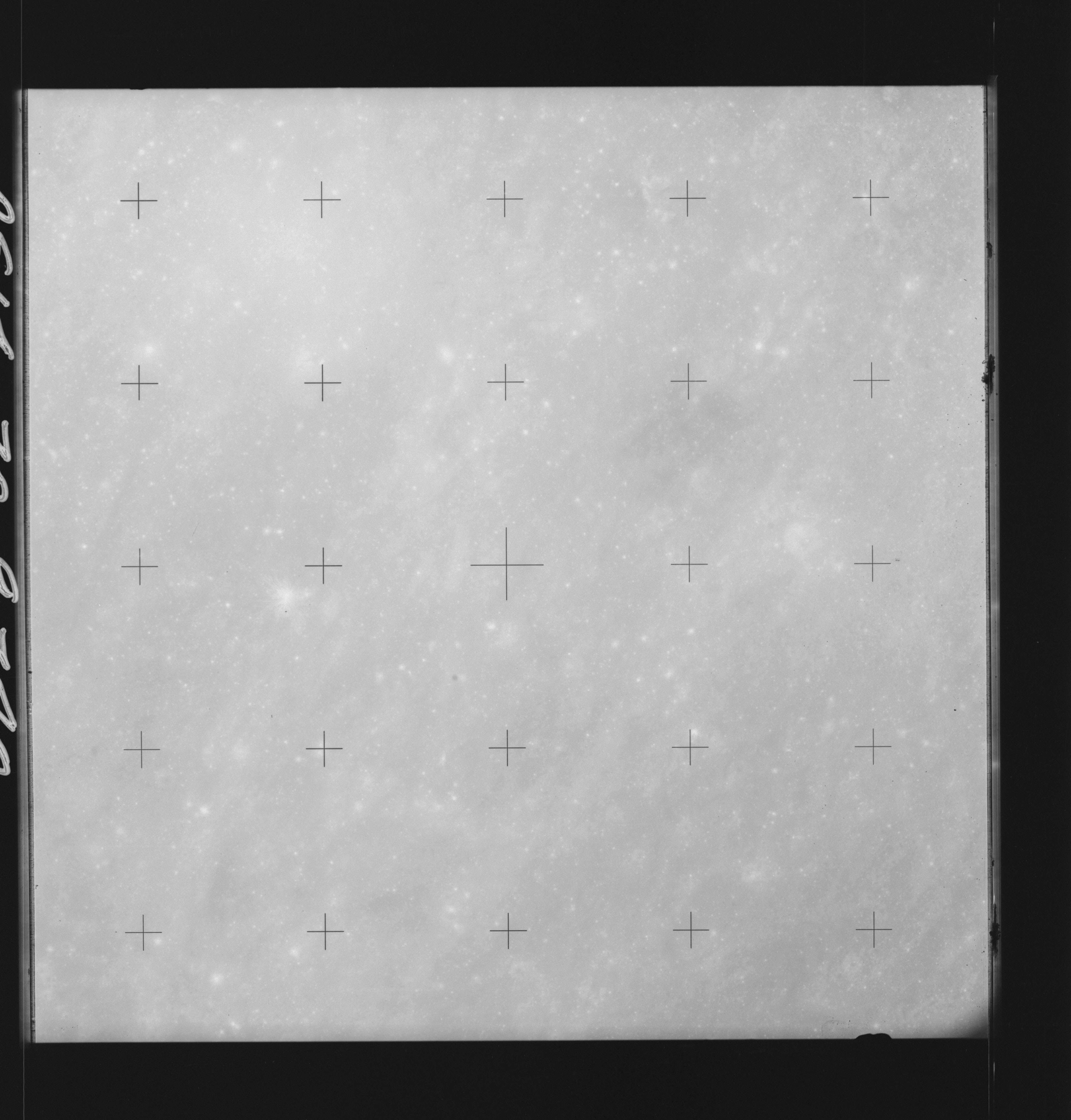 | AS14-70-9740 LANGRENUS, Southwest of; MARE FECUNDITATIS Location: 12° S, 58.5° E Image credit: National Archives and Records Administration |
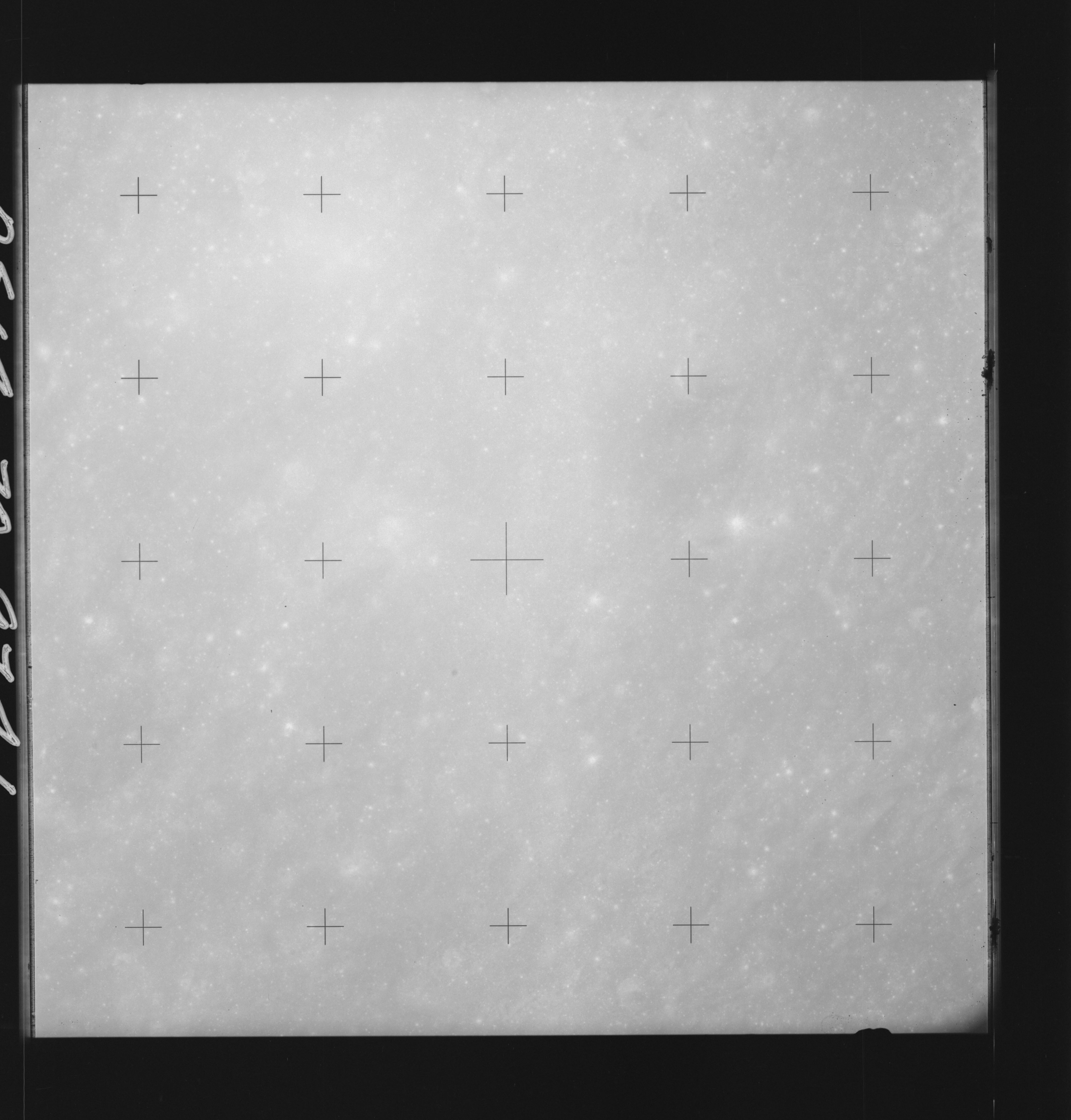 | AS14-70-9741 LANGRENUS, Southwest of MARE FECUNDITATIS Location: 12° S, 57.5° E Image credit: National Archives and Records Administration |
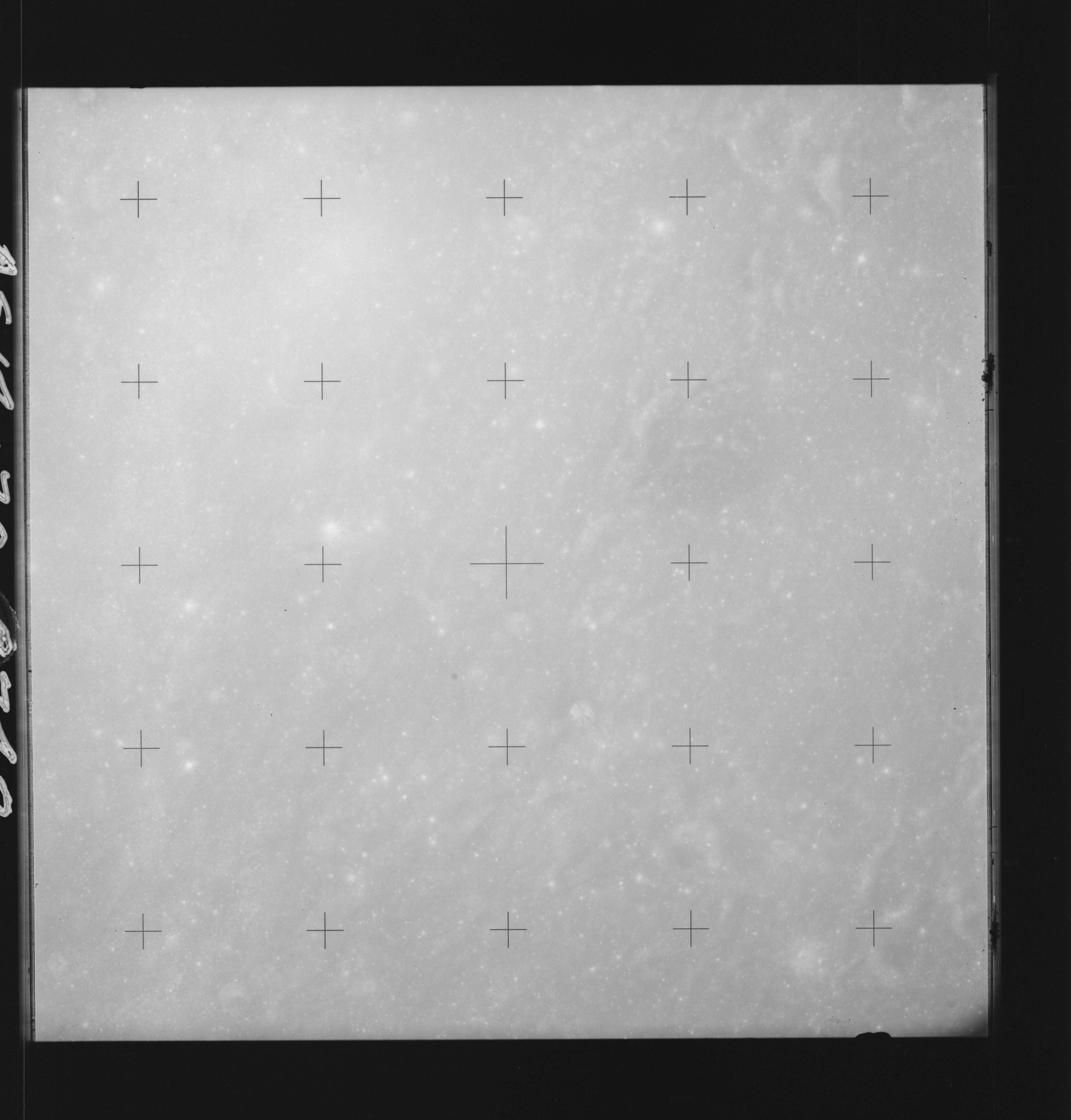 | AS14-70-9742 LANGRENUS D, South of Location: 12° S, 56.5° E Image credit: National Archives and Records Administration |
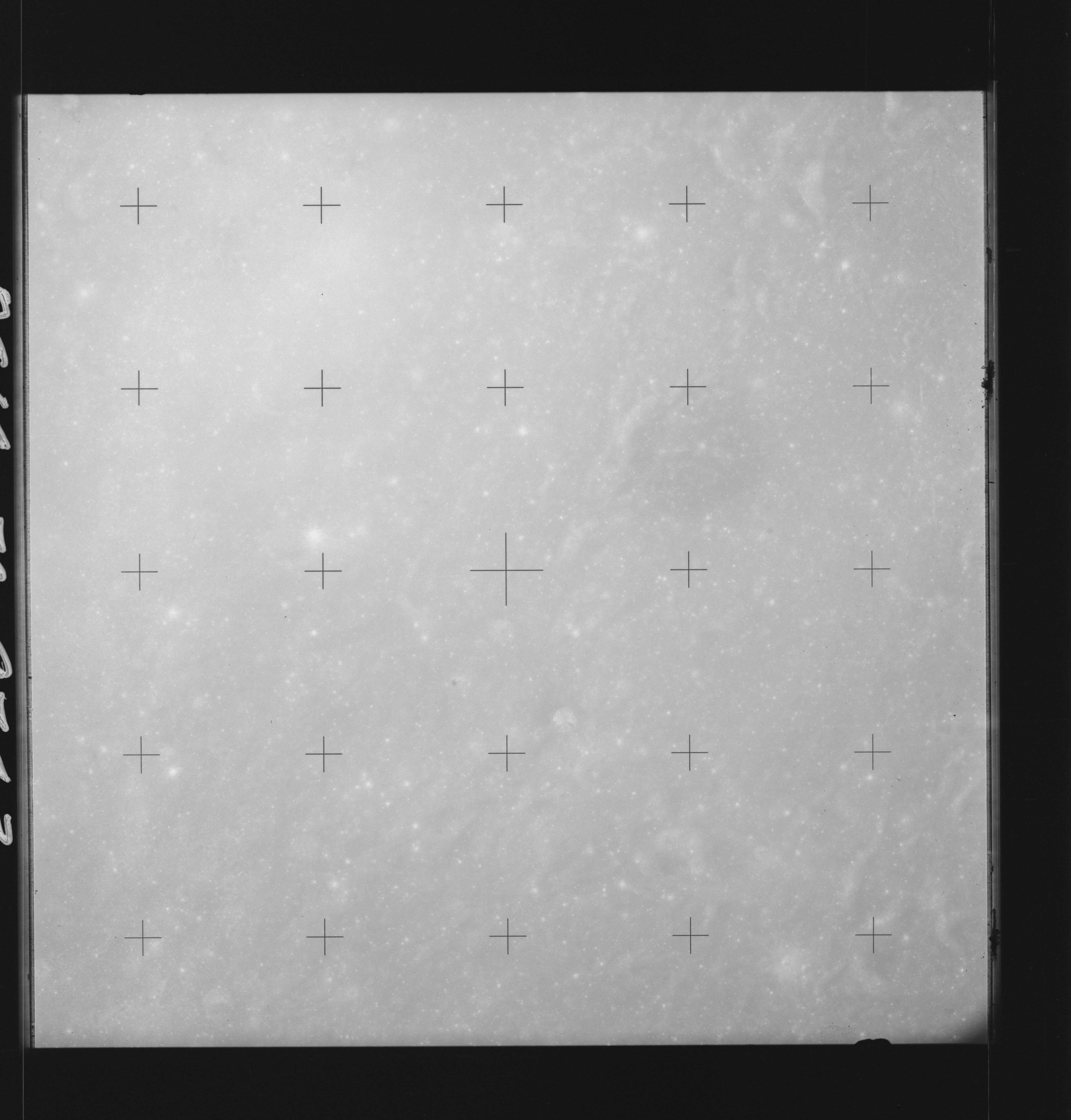 | AS14-70-9743 LANGRENUS D, South of Location: 12° S, 56.5° E Image credit: National Archives and Records Administration |
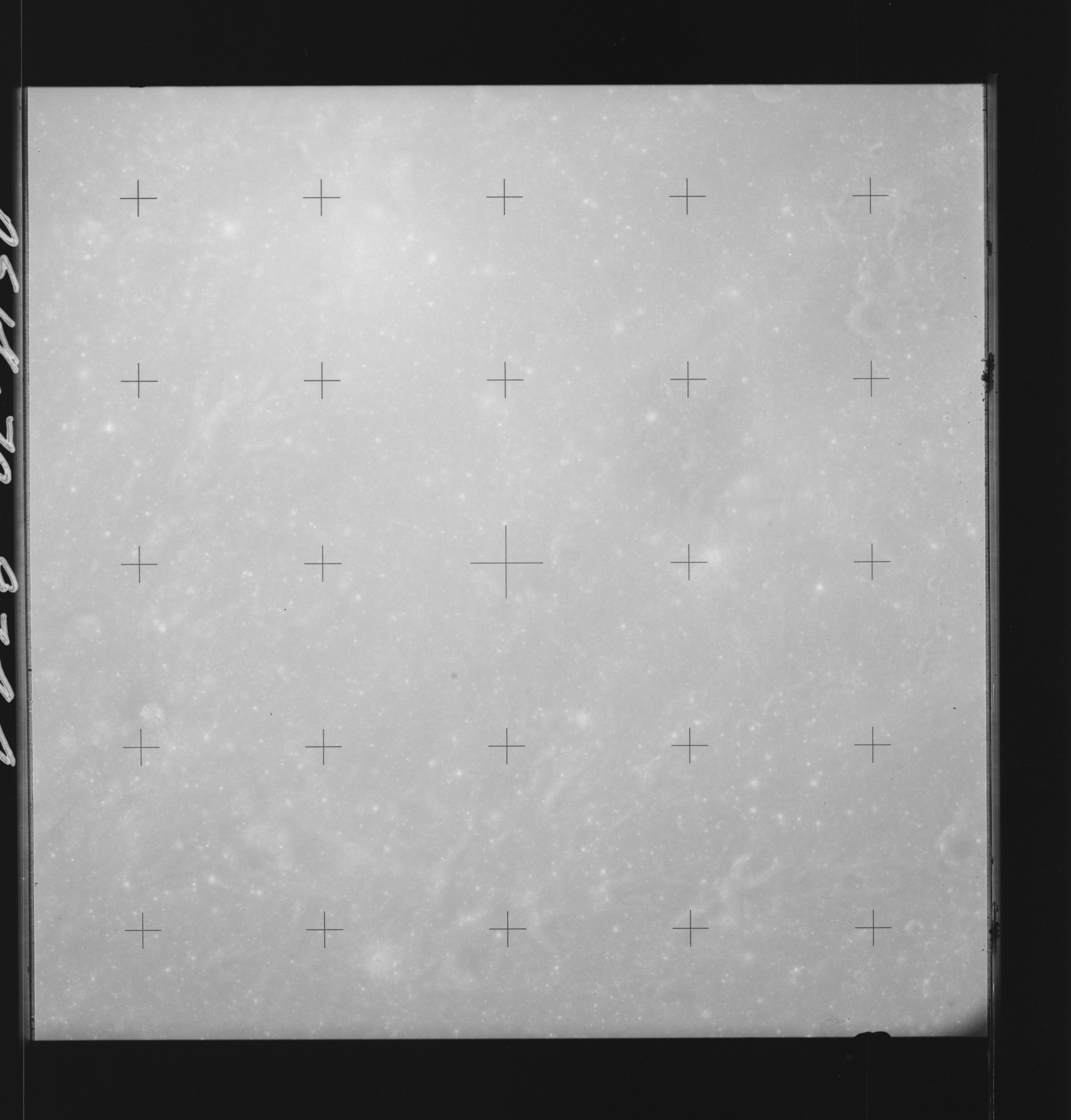 | AS14-70-9744 MARE FECUNDITATIS Location: 12° S, 55.8° E Image credit: National Archives and Records Administration |
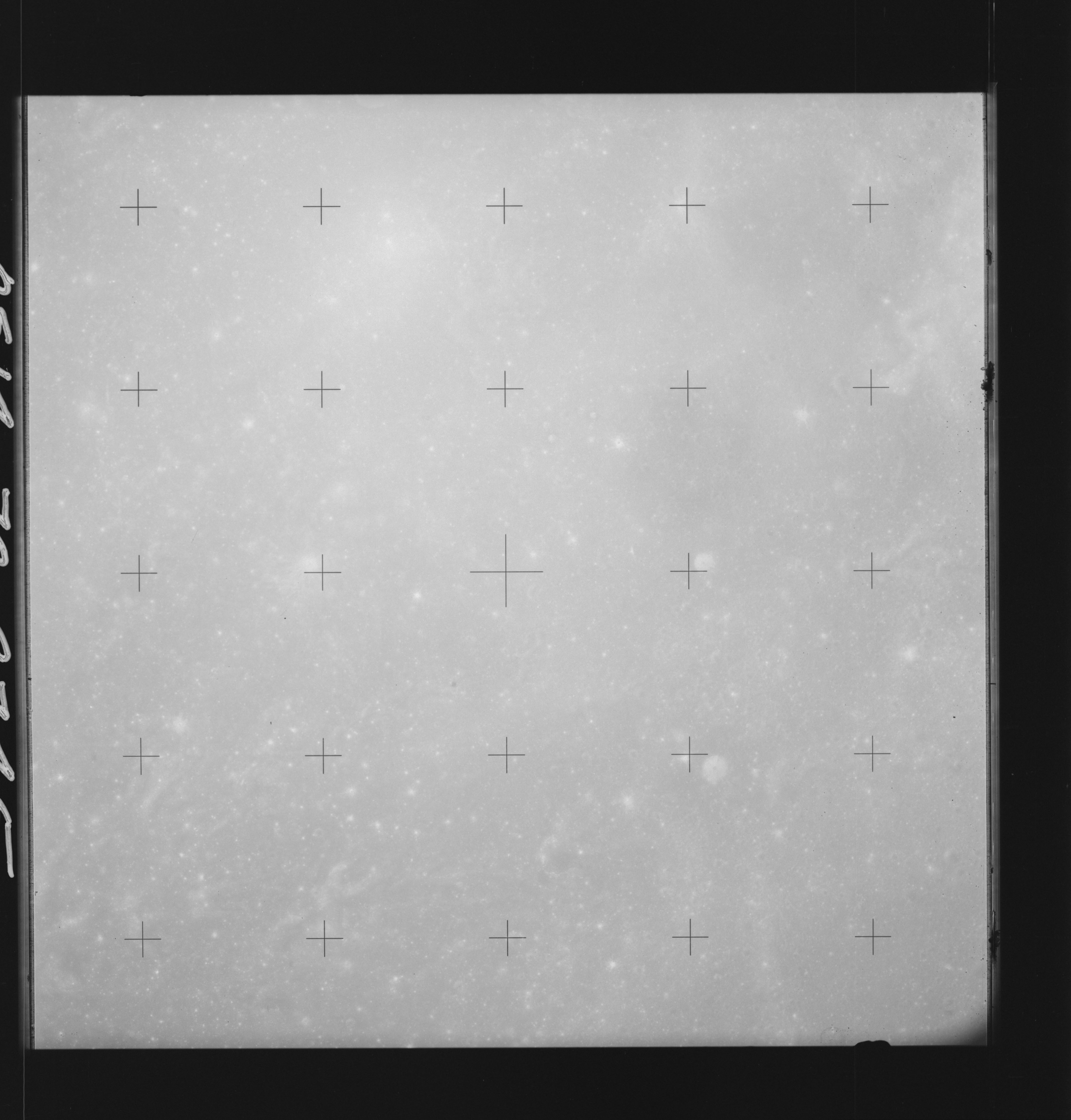 | AS14-70-9745 MARE FECUNDITATIS Location: 12° S, 55° E Image credit: National Archives and Records Administration |
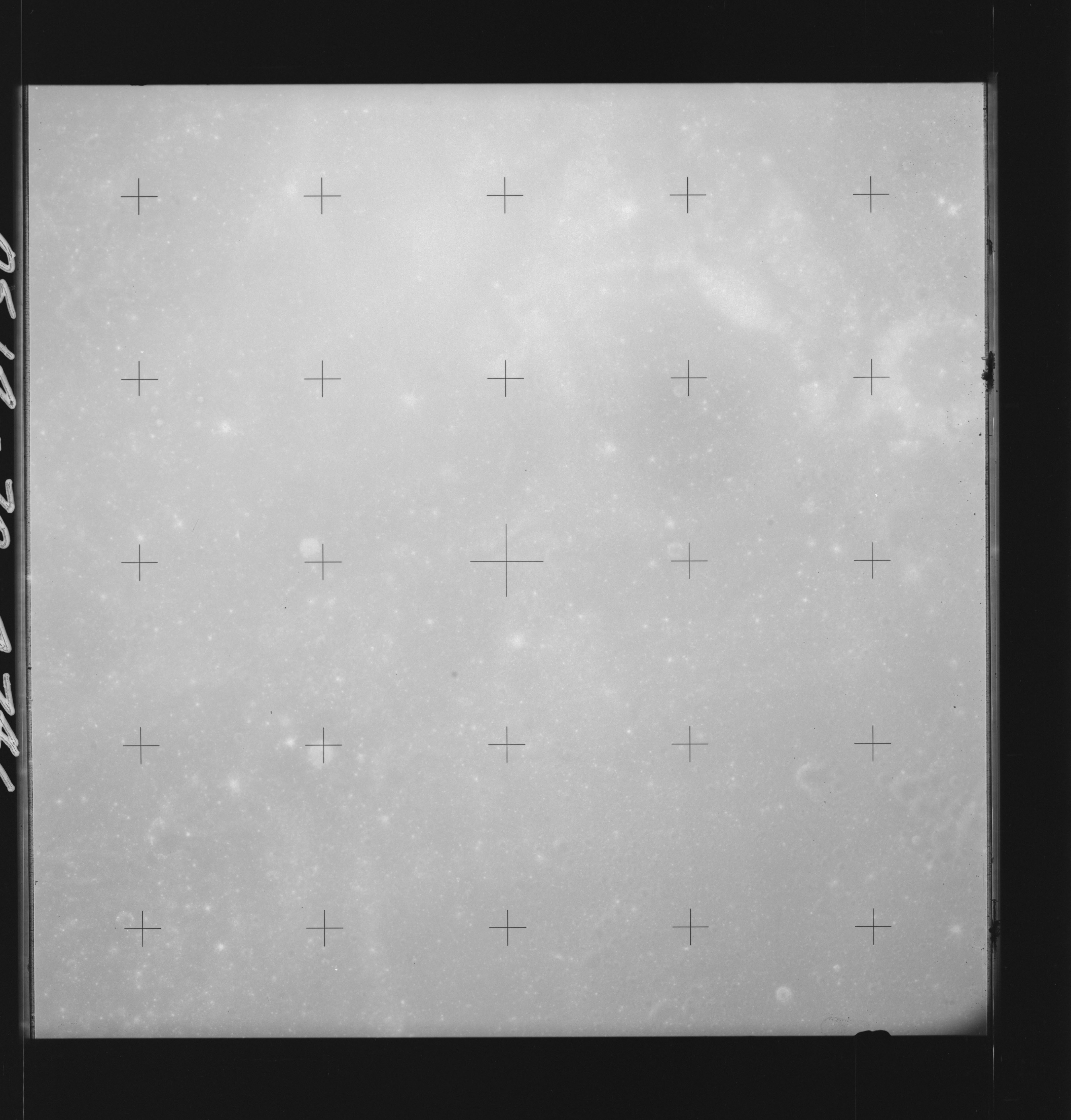 | AS14-70-9746 MARE FECUNDITATIS Location: 12° S, 54° E Image credit: National Archives and Records Administration |
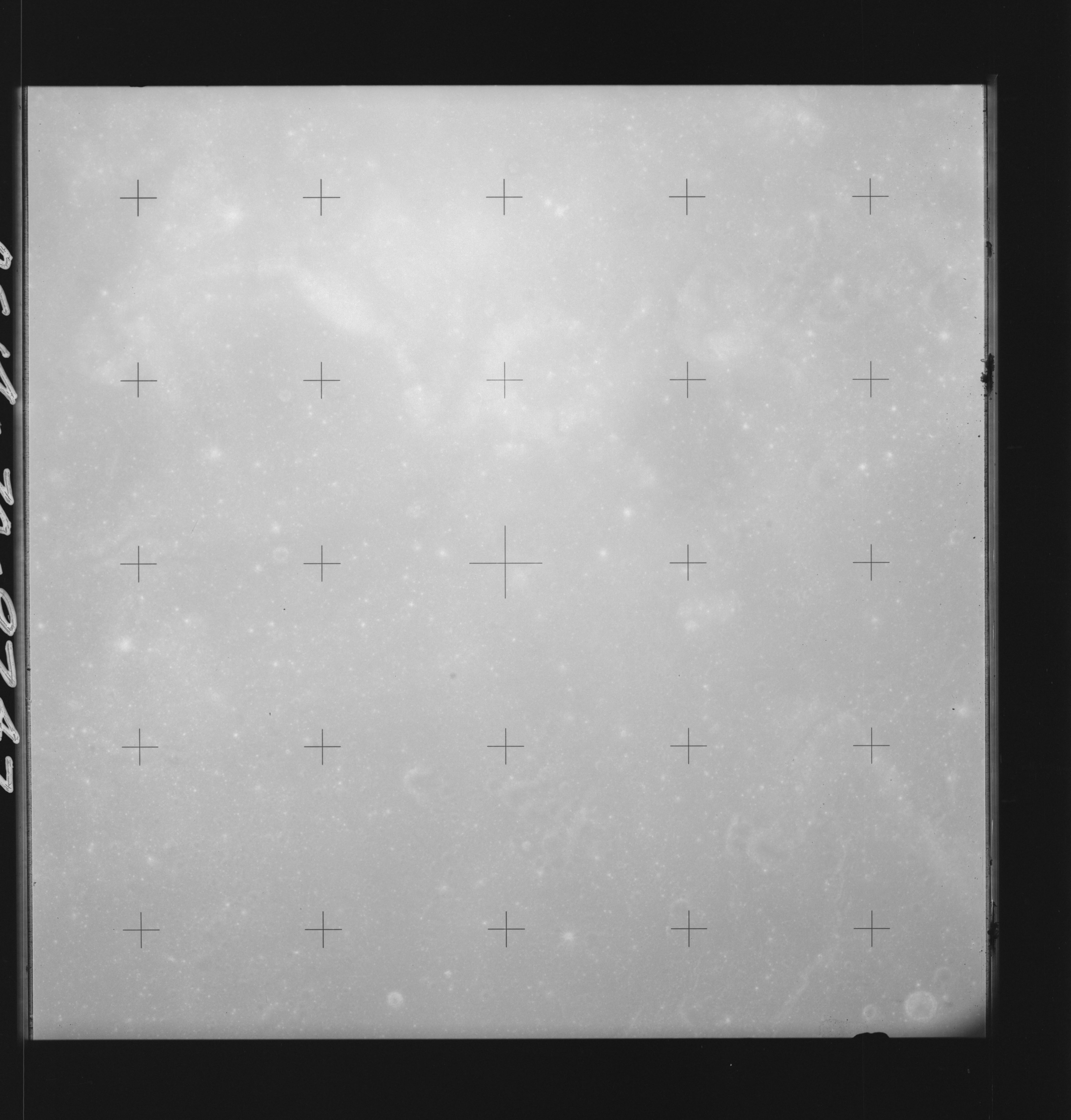 | AS14-70-9747 MARE FECUNDITATIS Location: 12° S, 53° E Image credit: National Archives and Records Administration |
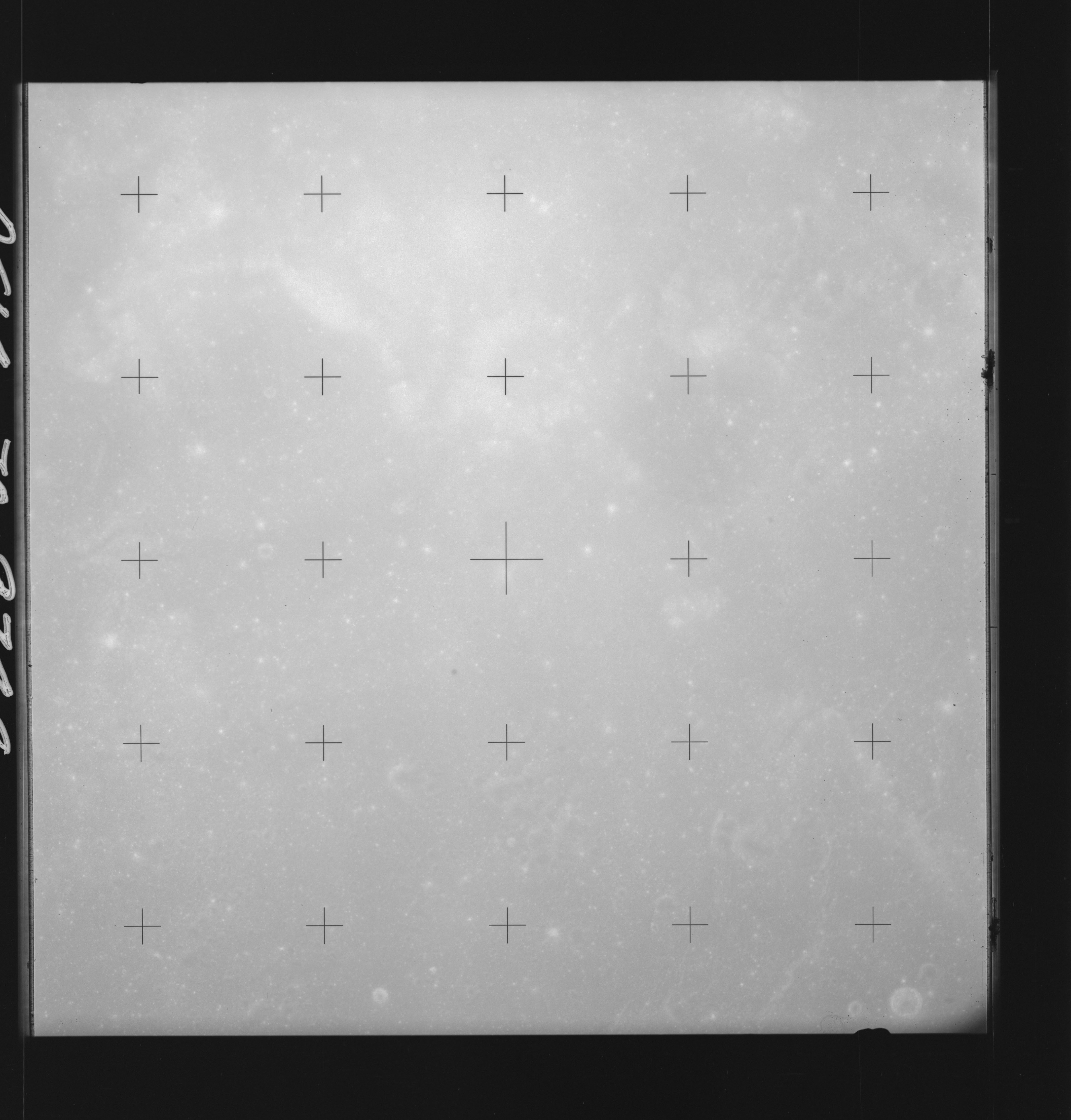 | AS14-70-9748 MARE FECUNDITATIS Location: 11.5° S, 52.5° E Image credit: National Archives and Records Administration |
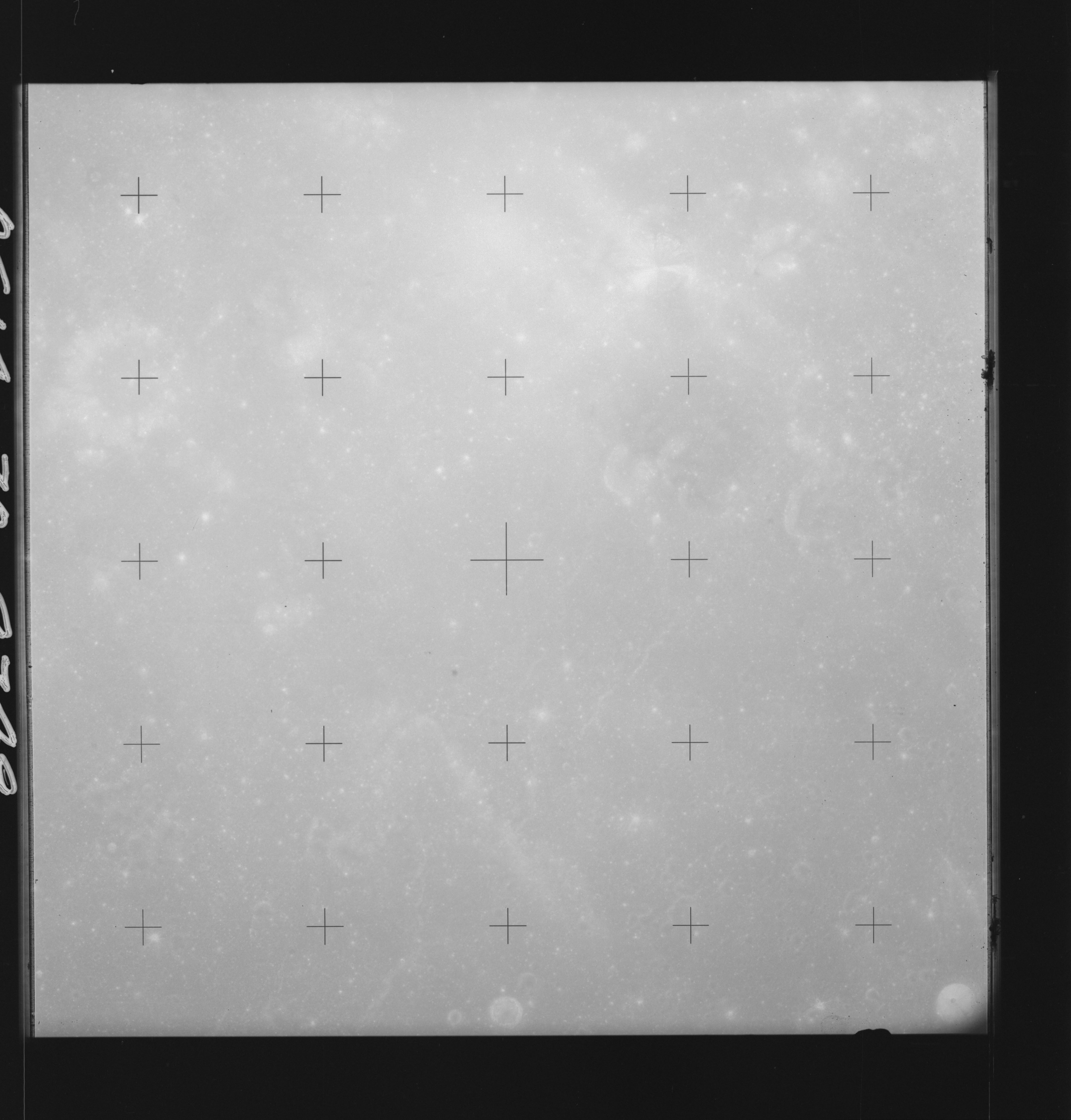 | AS14-70-9749 MARE FECUNDITATIS Location: 11.5° S, 51.5° E Image credit: National Archives and Records Administration |
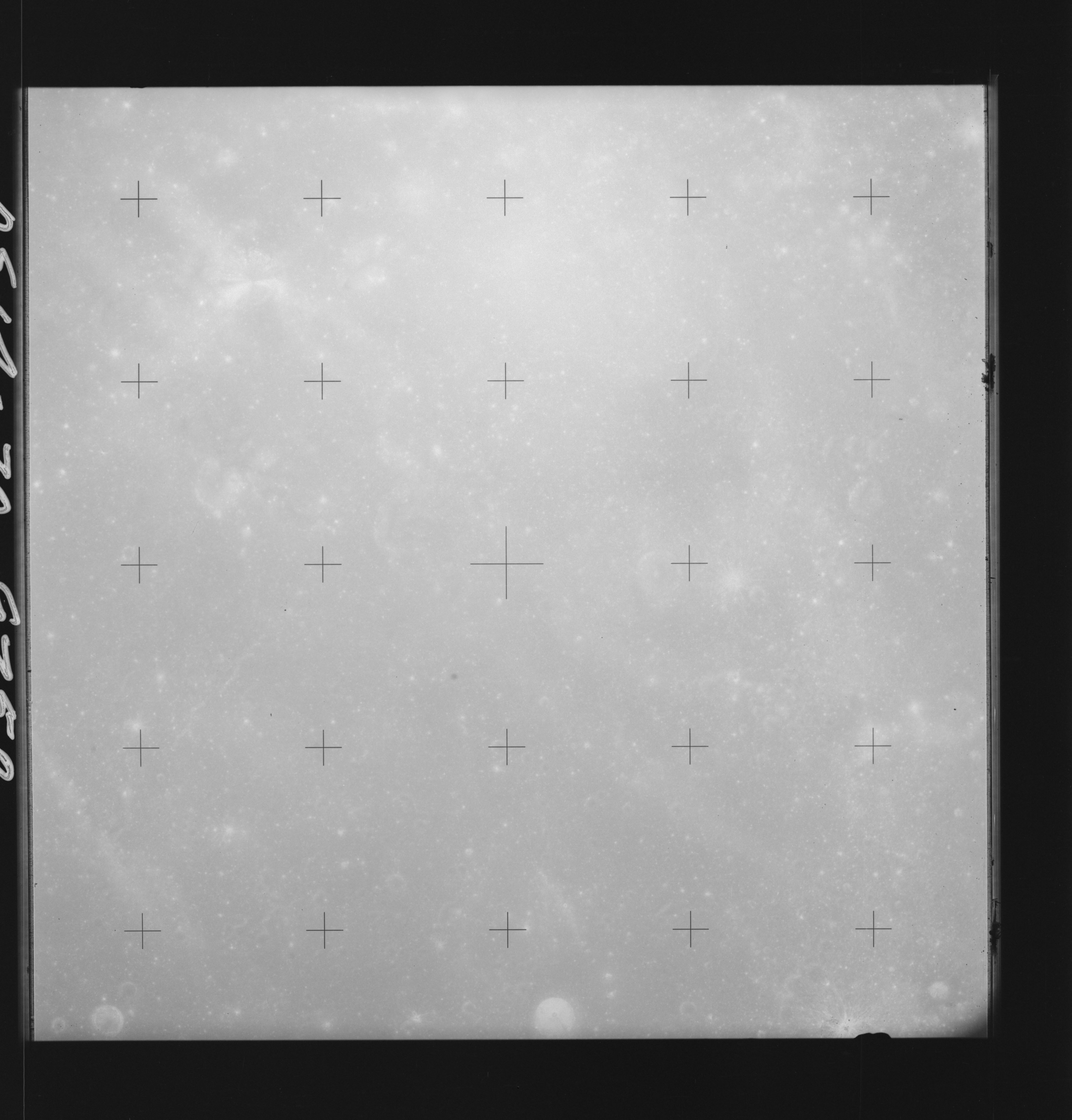 | AS14-70-9750 CROZIER Location: 11.5° S, 50.5° E Image credit: National Archives and Records Administration |
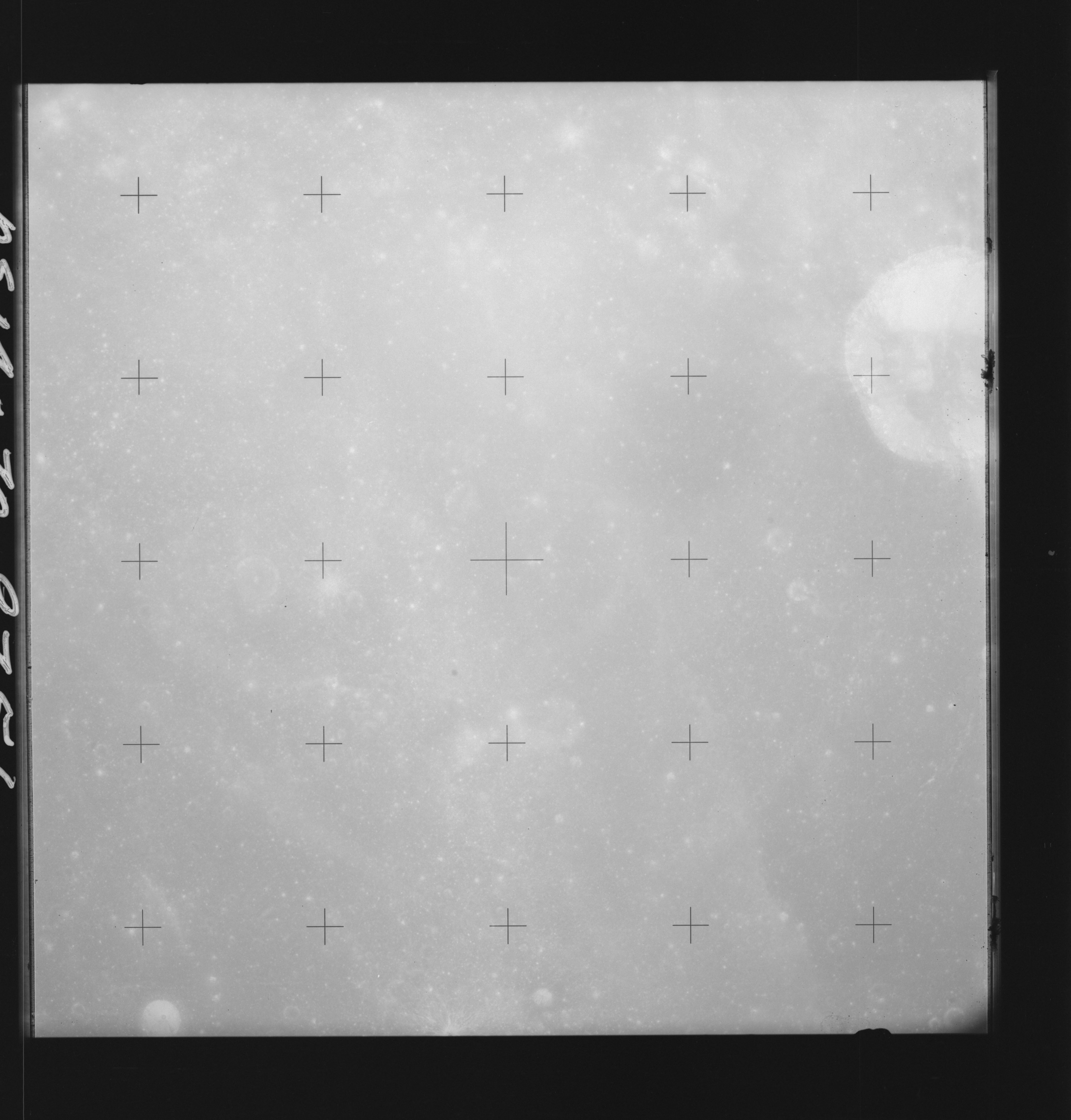 | AS14-70-9751 BELLOT Location: 11.5° S, 49.5° E Image credit: National Archives and Records Administration |
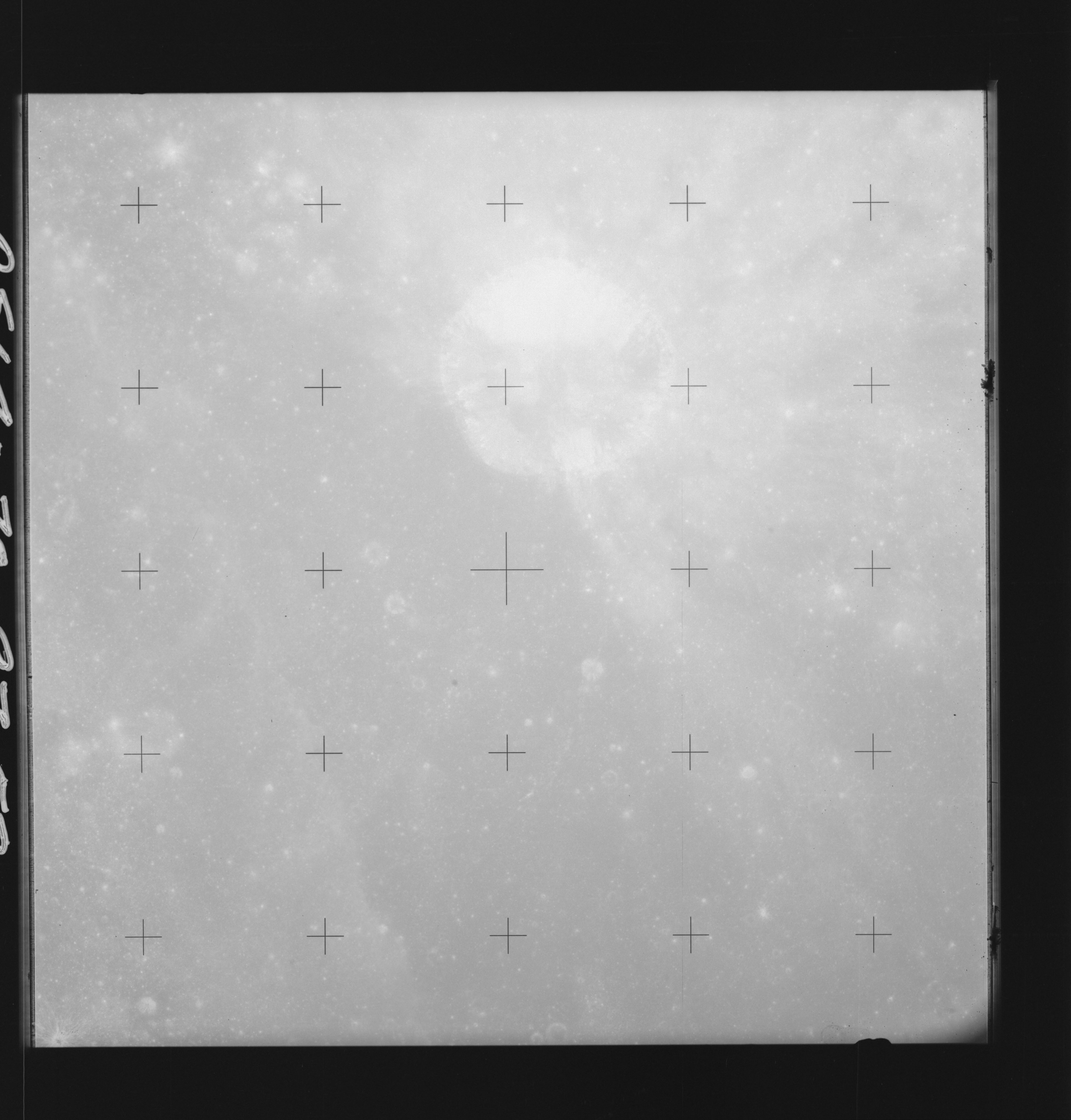 | AS14-70-9752 BELLOT Location: 11.5° S, 48.5° E Image credit: National Archives and Records Administration |
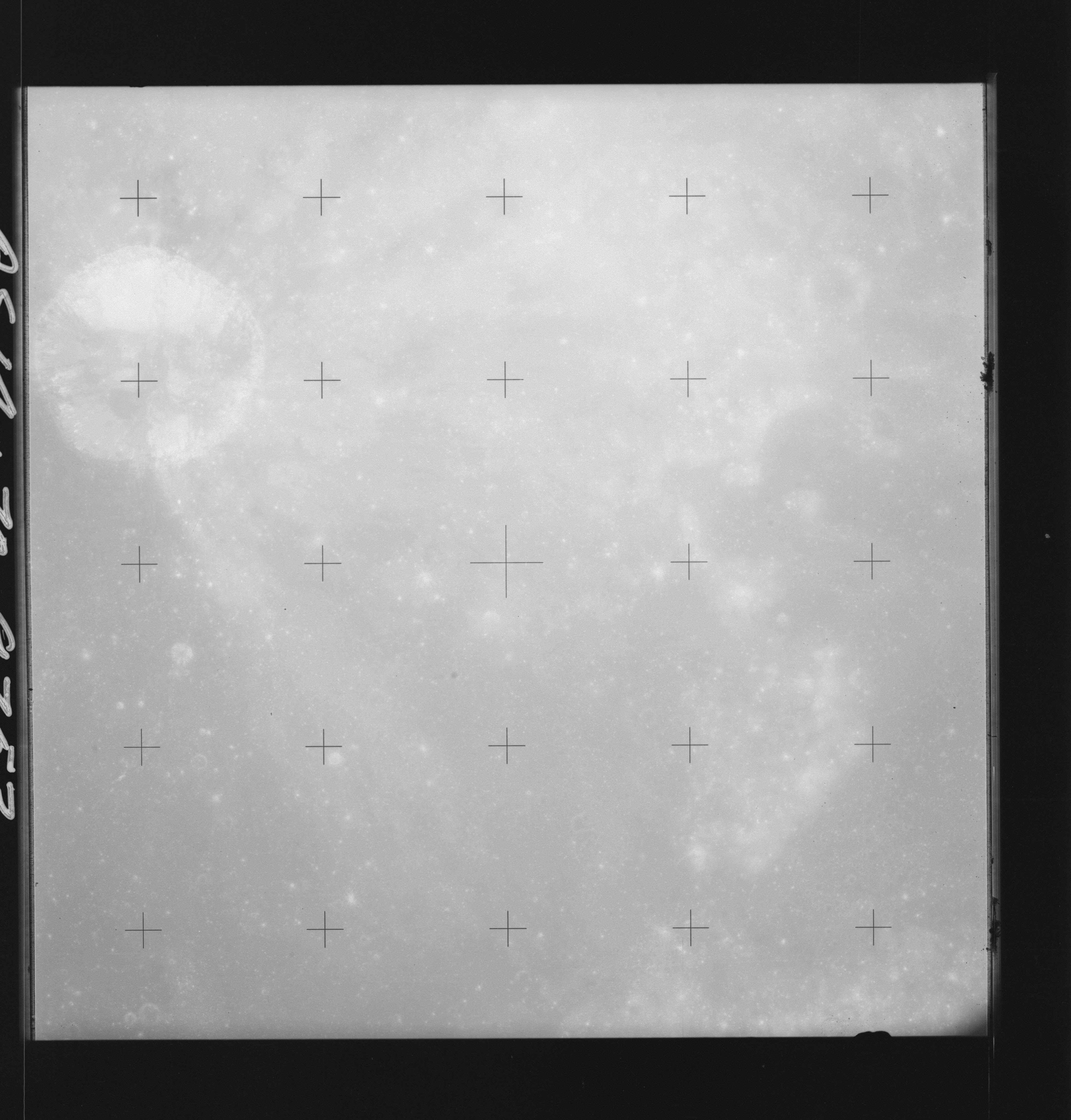 | AS14-70-9753 BELLOT Location: 11.5° S, 47.5° E Image credit: National Archives and Records Administration |
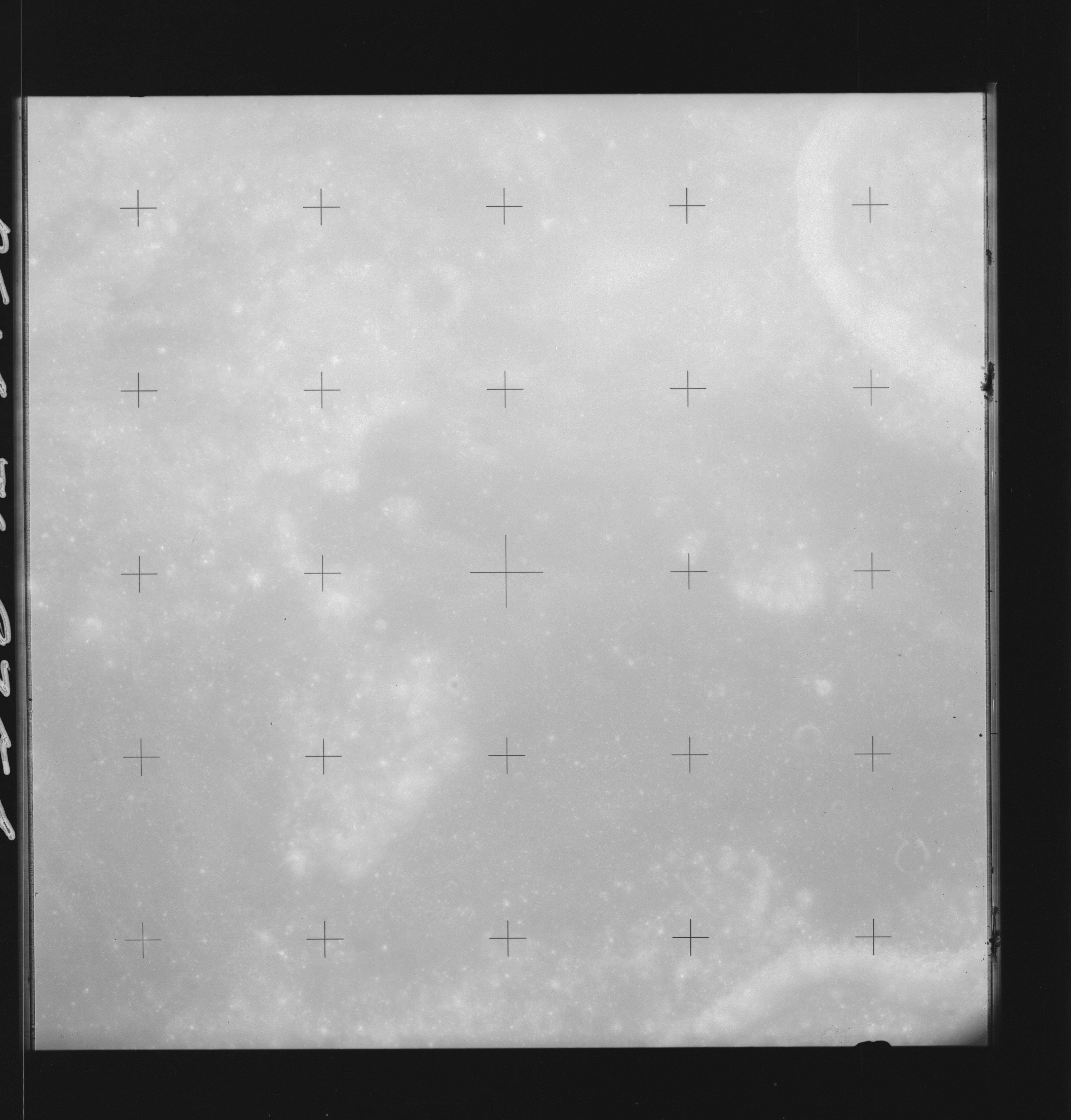 | AS14-70-9754 MAGELHAENS A Location: 11.5° S, 46.5° E Image credit: National Archives and Records Administration |
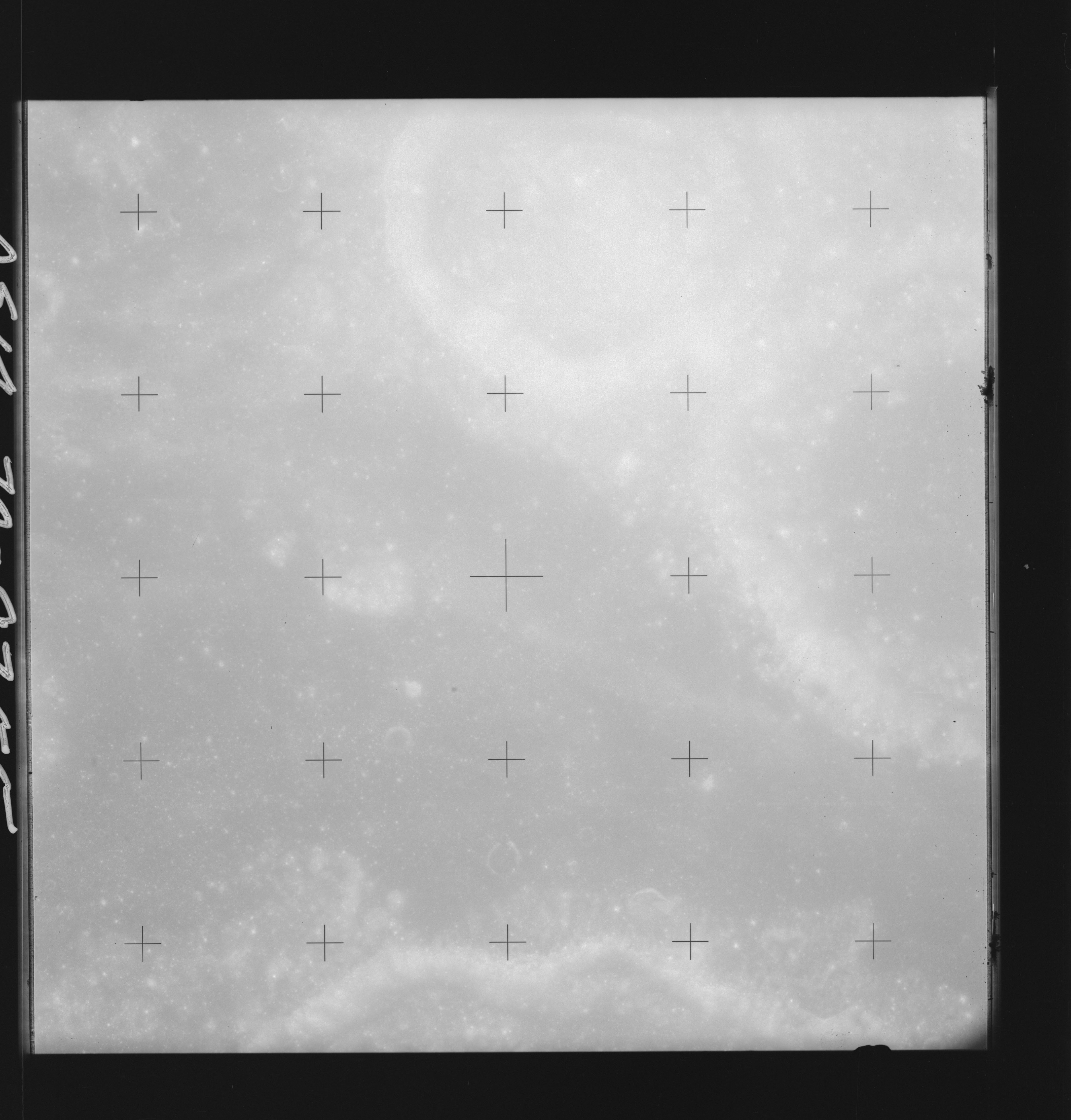 | AS14-70-9755 MAGELHAENS A Location: 11.5° S, 45° E Image credit: National Archives and Records Administration |
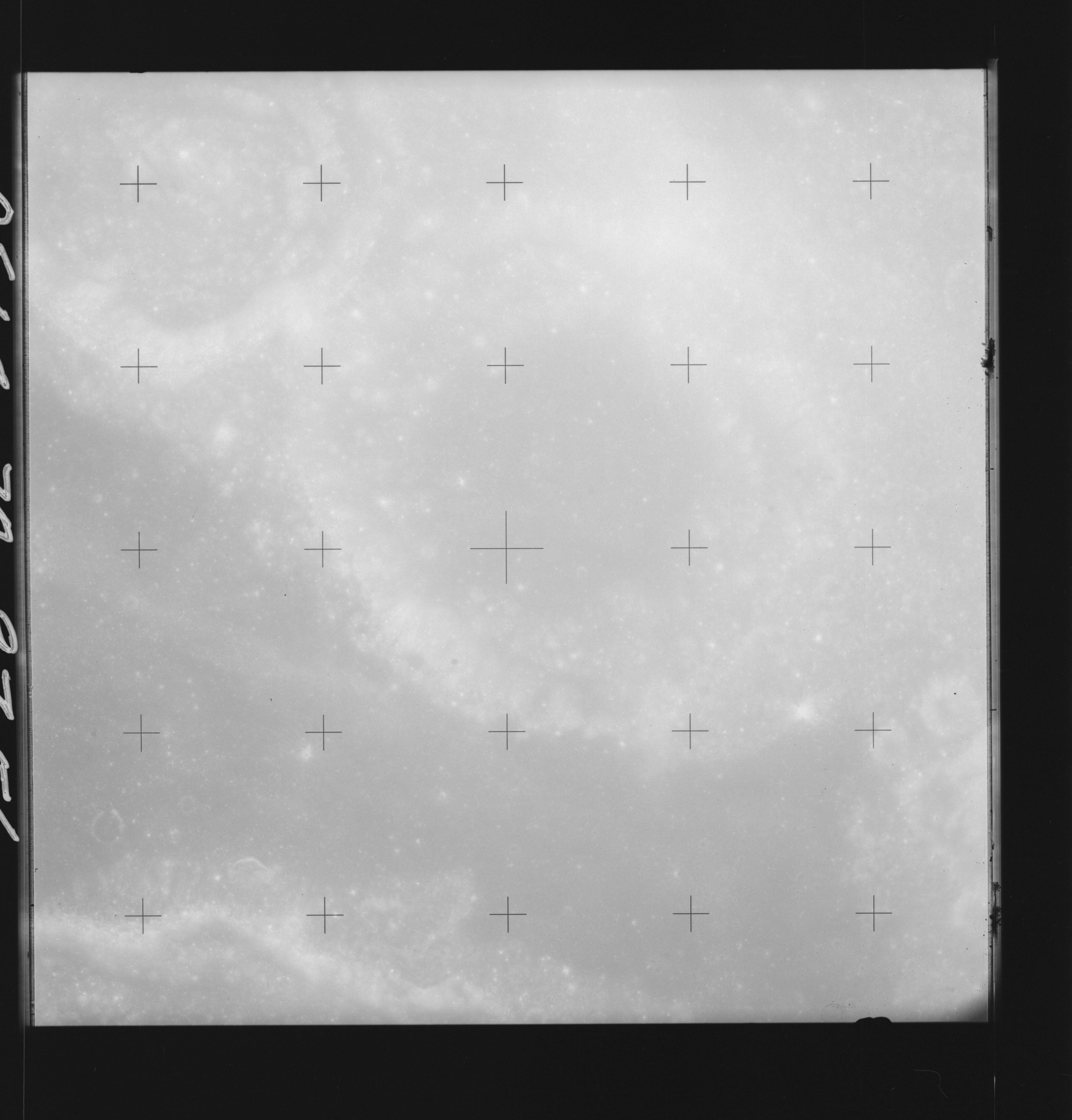 | AS14-70-9756 GUTENBERG D, MAGELHAENS Location: 11.5° S, 44.5° E Image credit: National Archives and Records Administration |
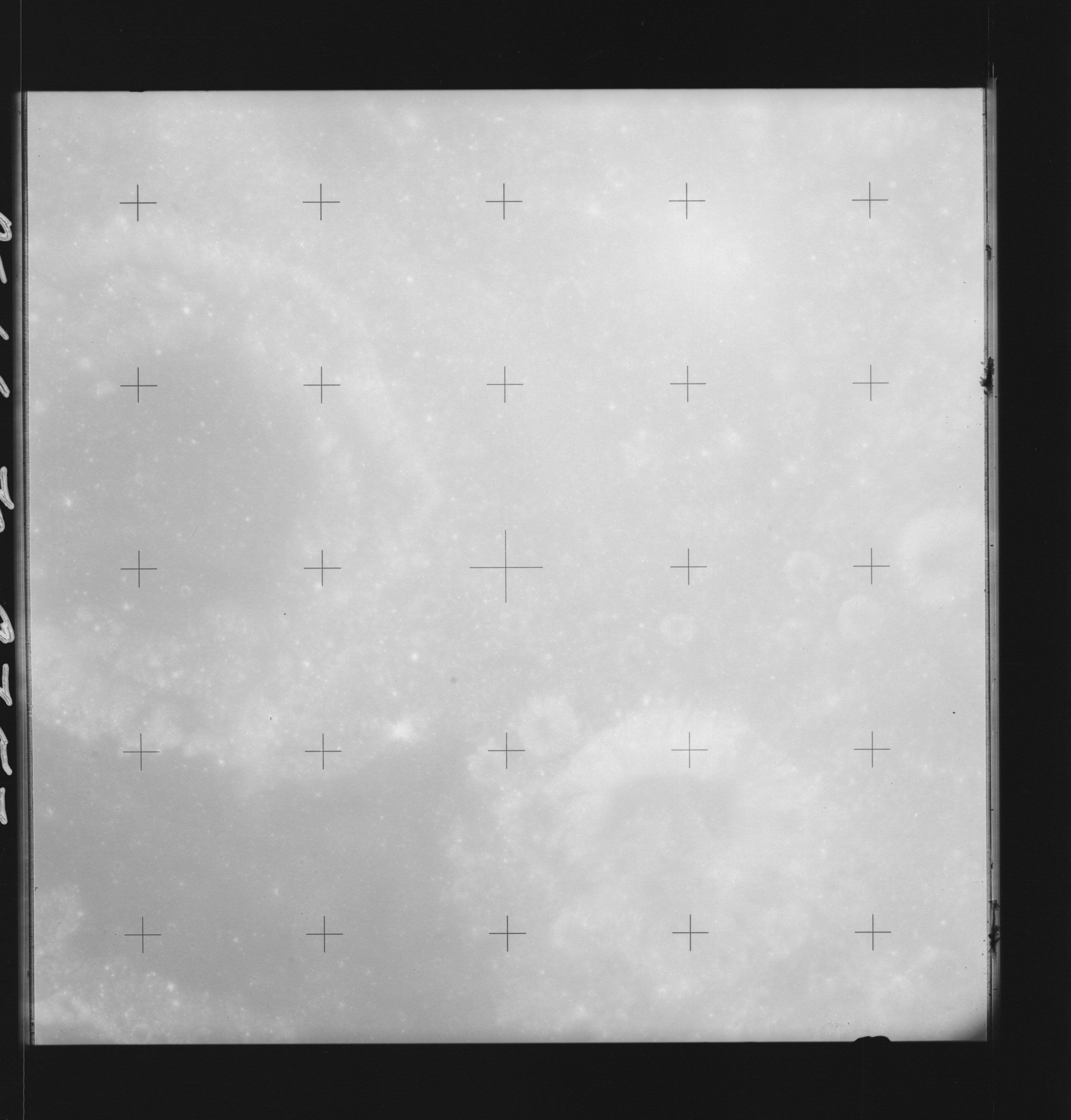 | AS14-70-9757 GUTENBERG D, MAGELHAENS Location: 11.5° S, 43.5° E Image credit: National Archives and Records Administration |
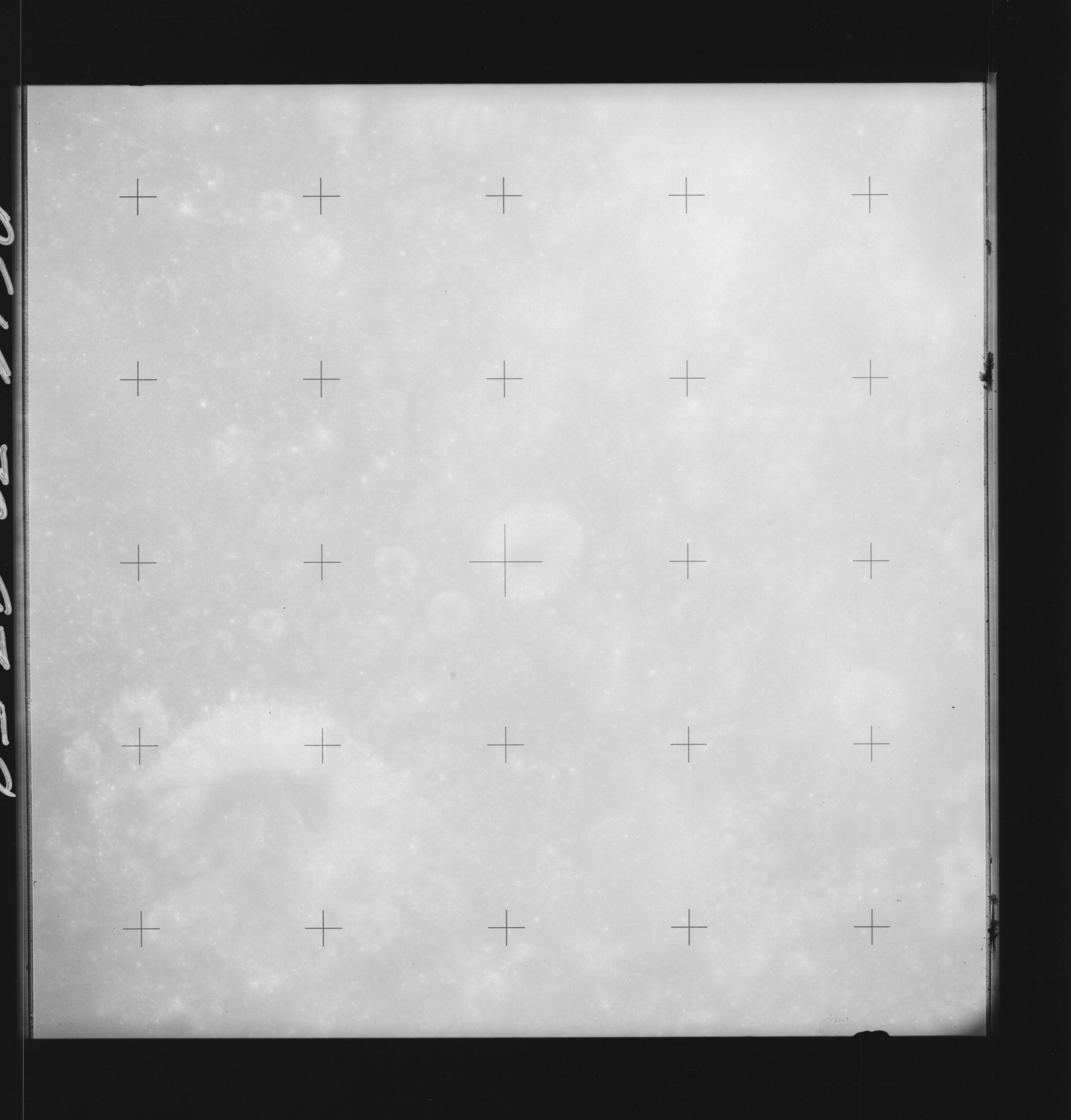 | AS14-70-9758 GUTENBERG D, MONTES PYRENAEUS Location: 11.5° S, 42° E Image credit: National Archives and Records Administration |
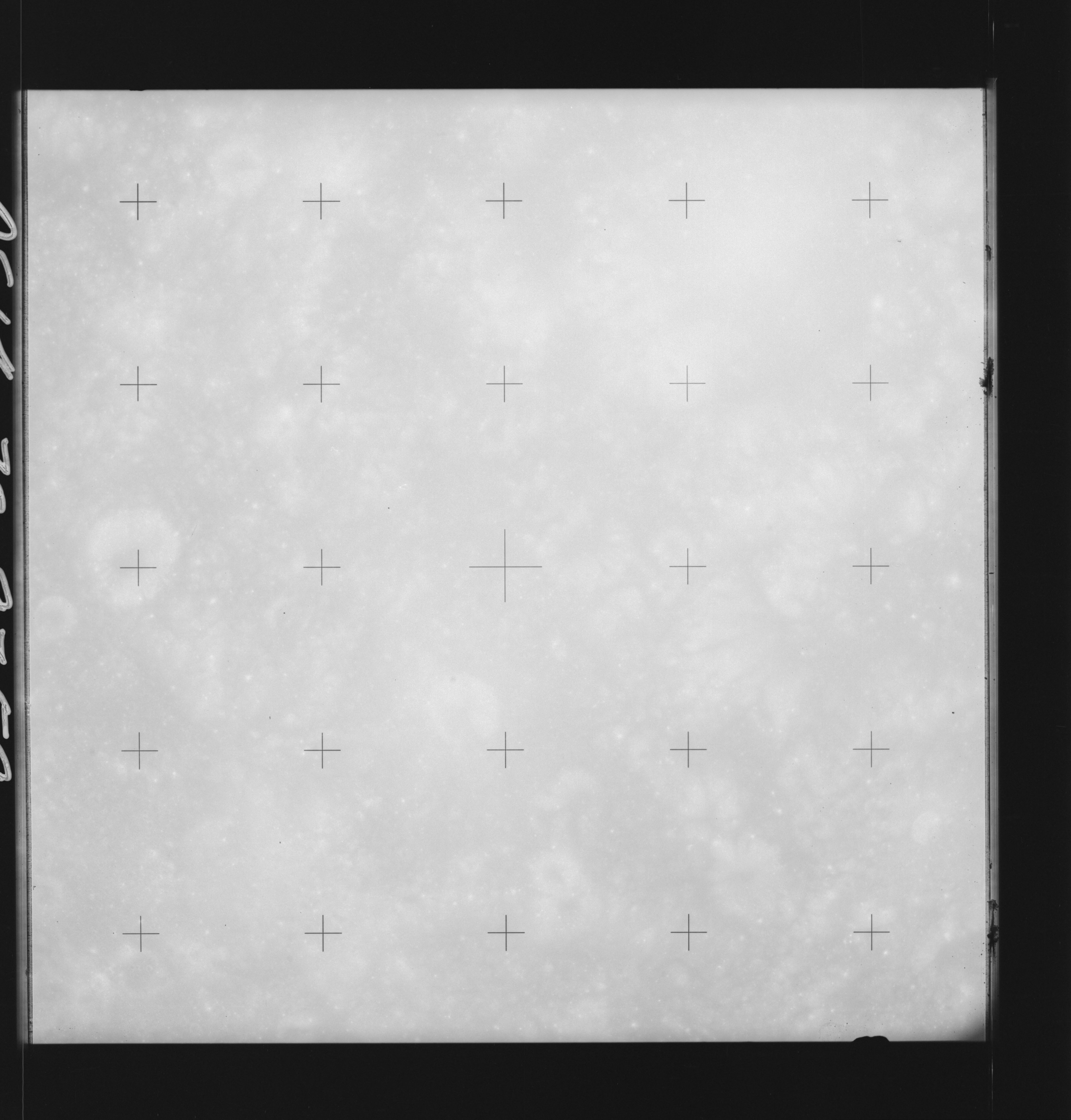 | AS14-70-9759 MONTES PYRENAEUS Location: 11.5° S, 41° E Image credit: National Archives and Records Administration |
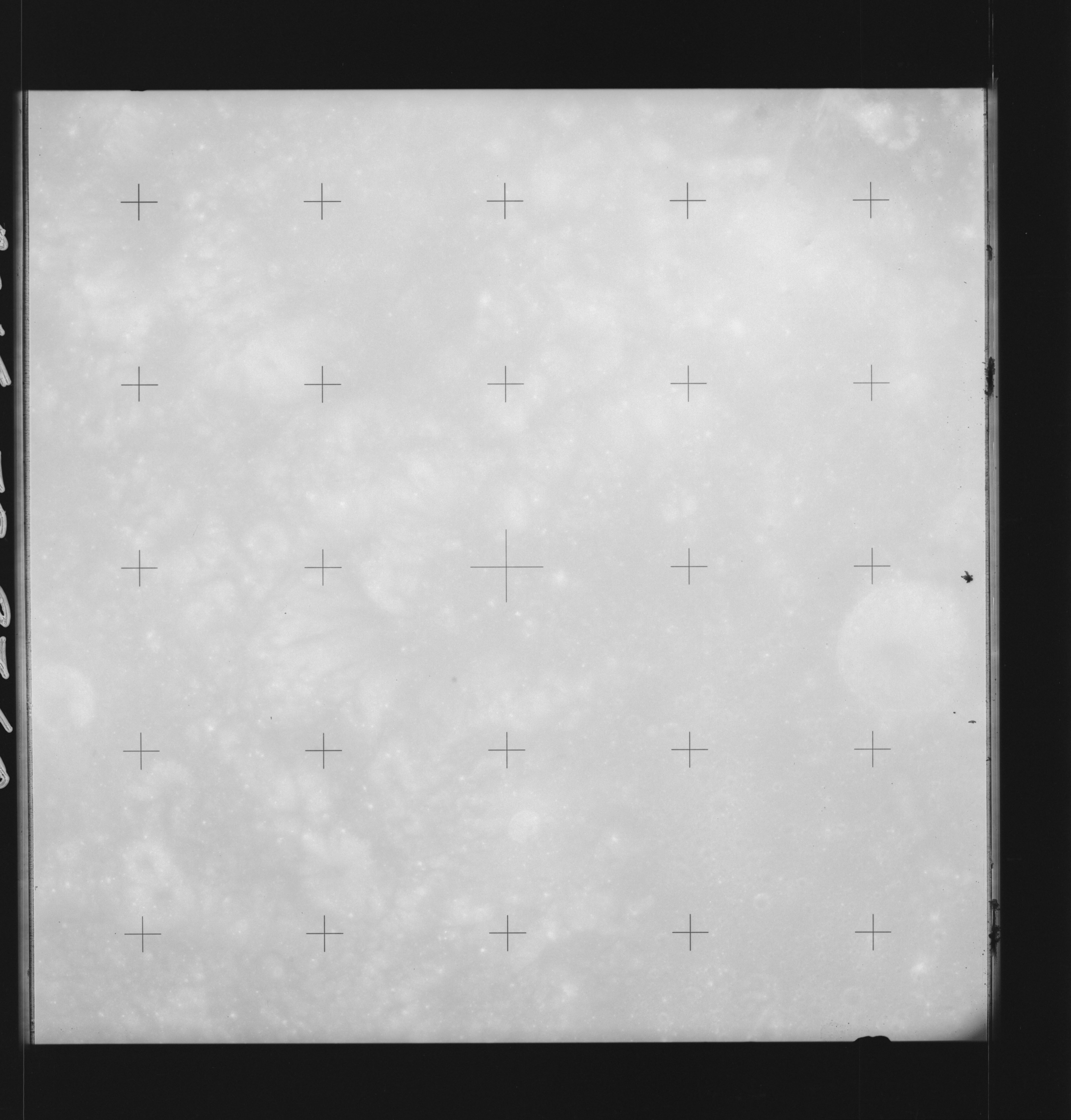 | AS14-70-9760 MONTES PYRENAEUS Location: 11.5° S, 40° E Image credit: National Archives and Records Administration |
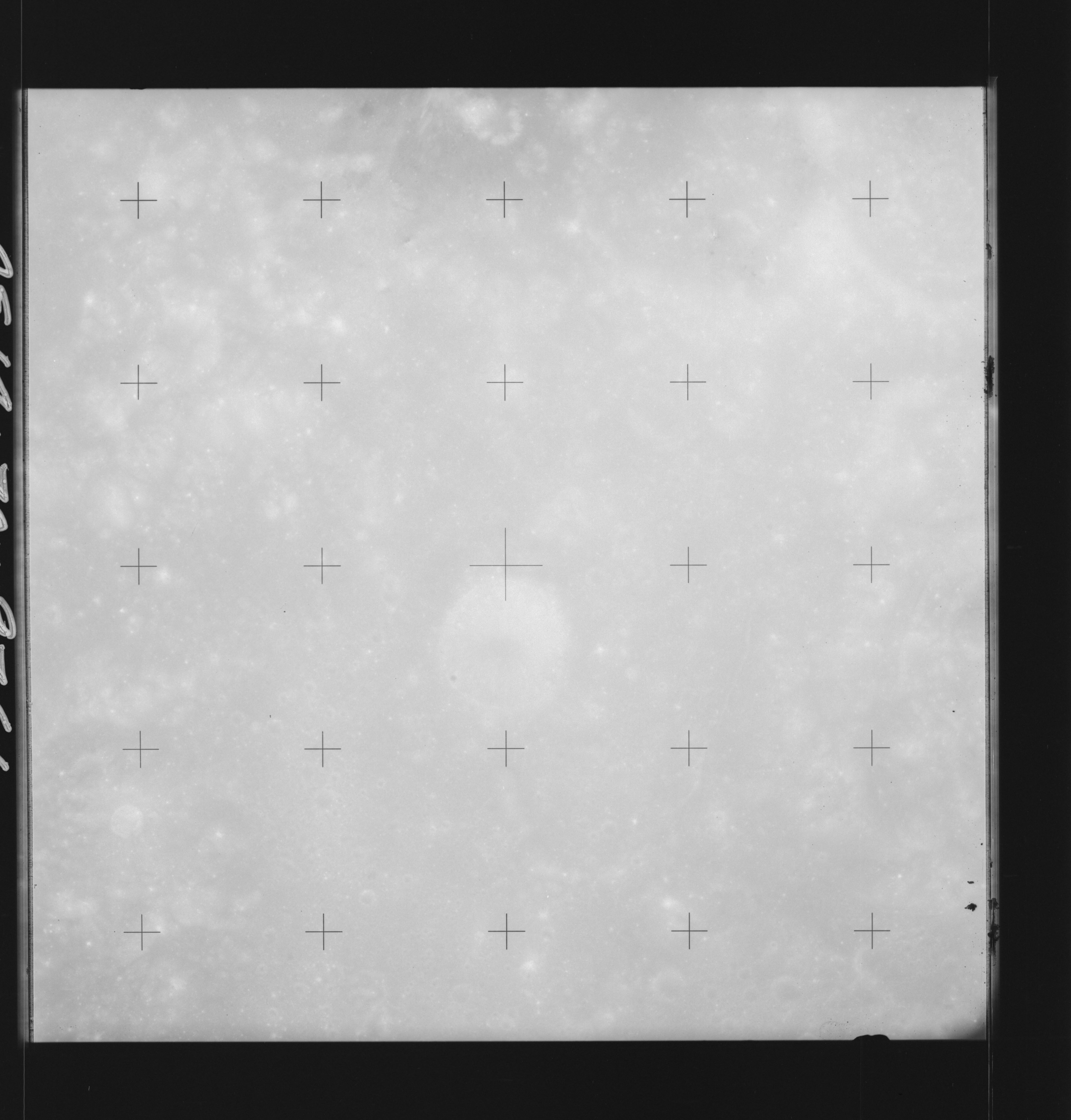 | AS14-70-9761 GAUDIBERT, GAUDIBERT A, GAUDIBERT B Location: 11° S, 39° E Image credit: National Archives and Records Administration |
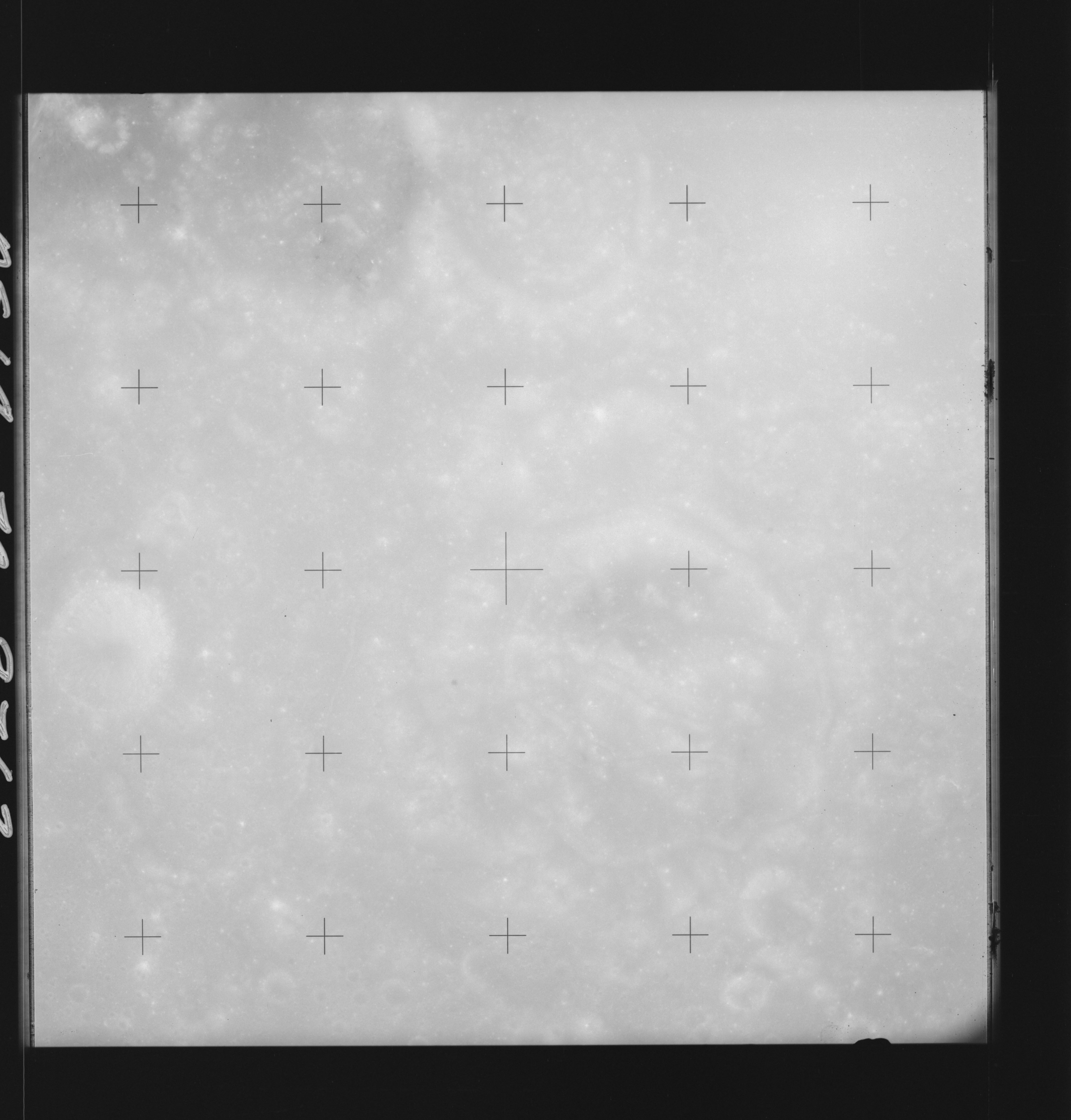 | AS14-70-9762 GAUDIBERT, GAUDIBERT A, GAUDIBERT B Location: 11° S, 38° E Image credit: National Archives and Records Administration |
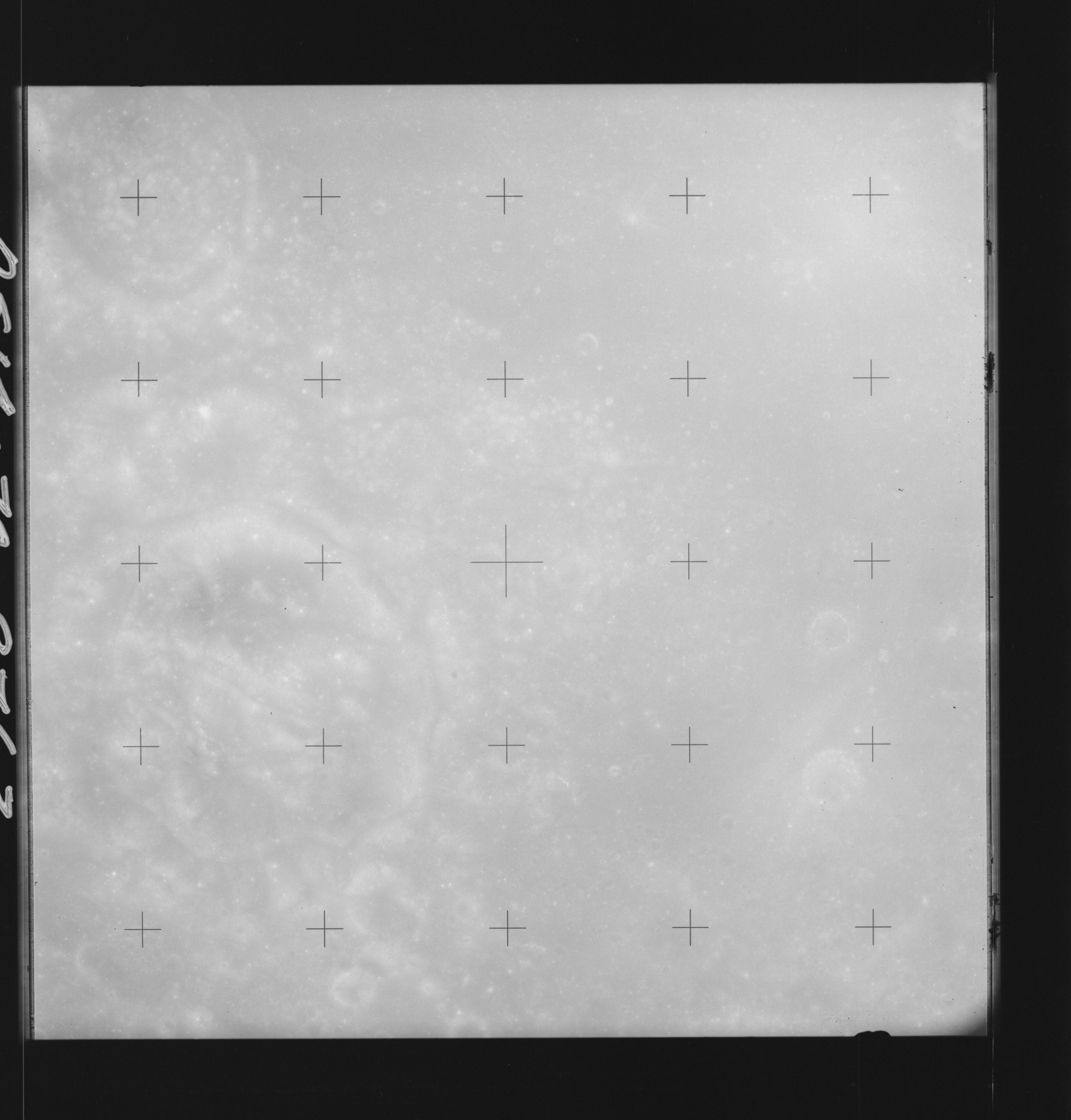 | AS14-70-9763 GAUDIBERT, GAUDIBERT A, GAUDIBERT B Location: 11° S, 37° E Image credit: National Archives and Records Administration |
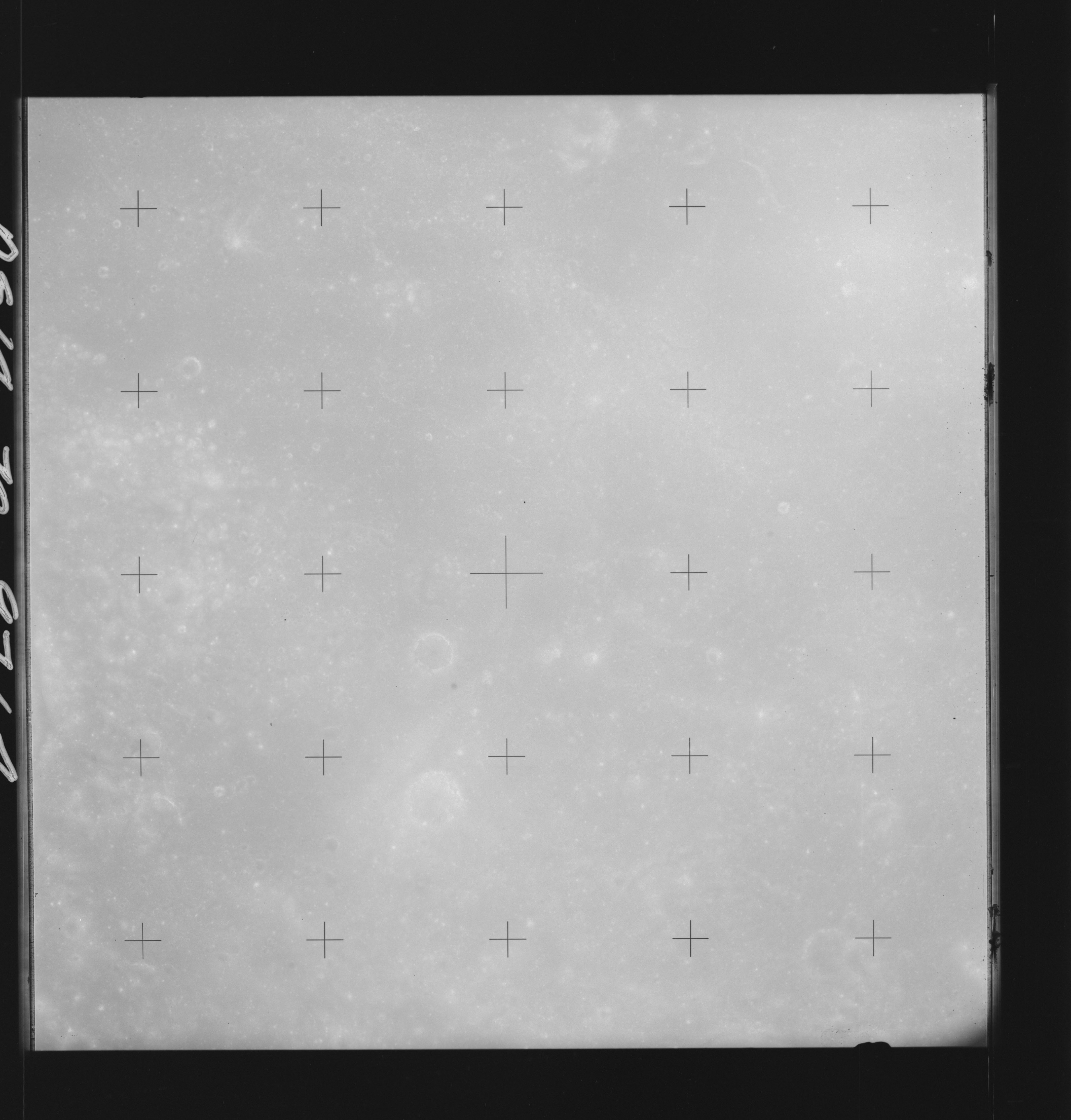 | AS14-70-9764 DAGUERRE, MARE NECTARIS Location: 11° S, 36° E Image credit: National Archives and Records Administration |
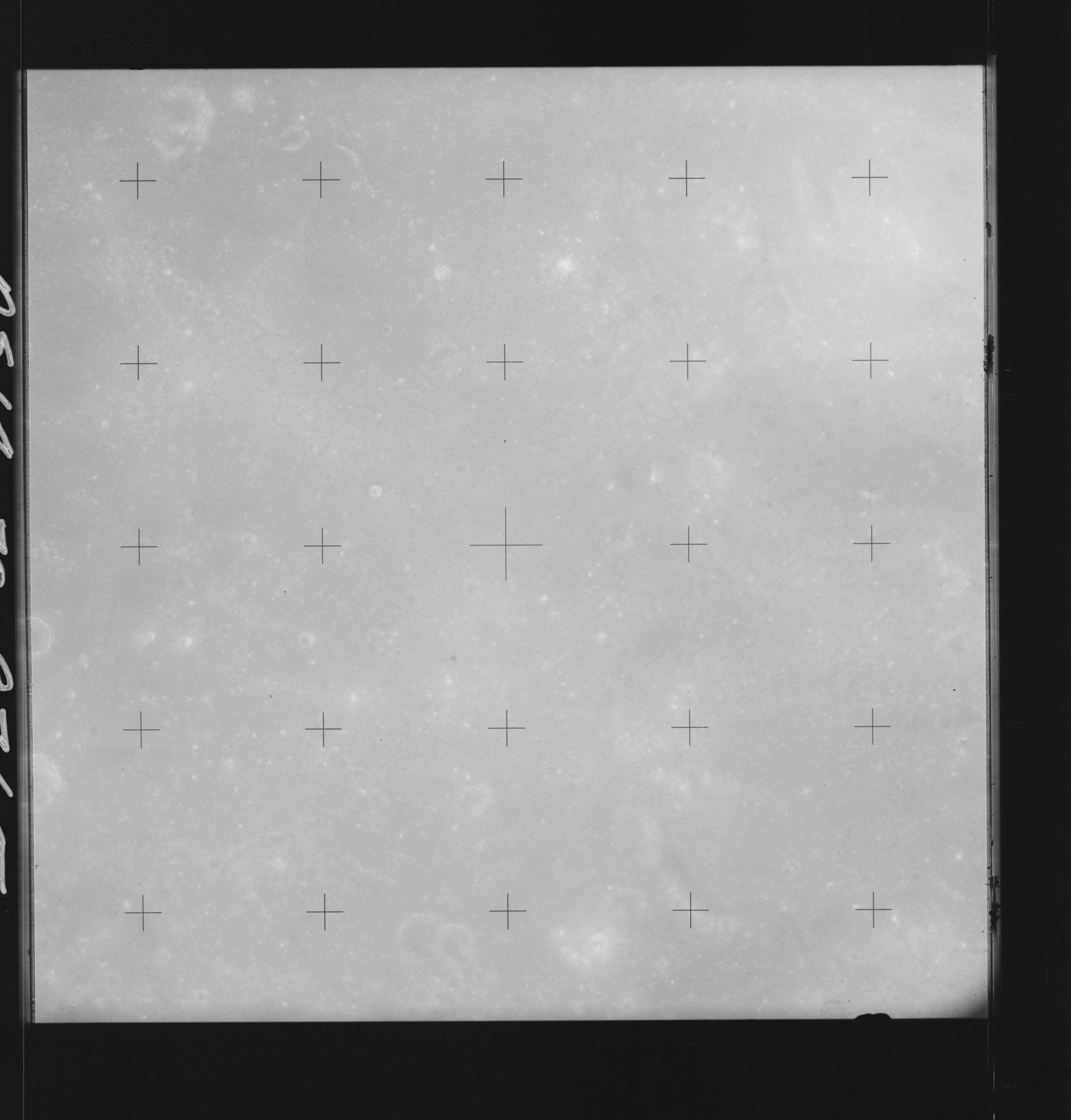 | AS14-70-9765 DAGUERRE, MARE NECTARIS Location: 11° S, 35° E Image credit: National Archives and Records Administration |
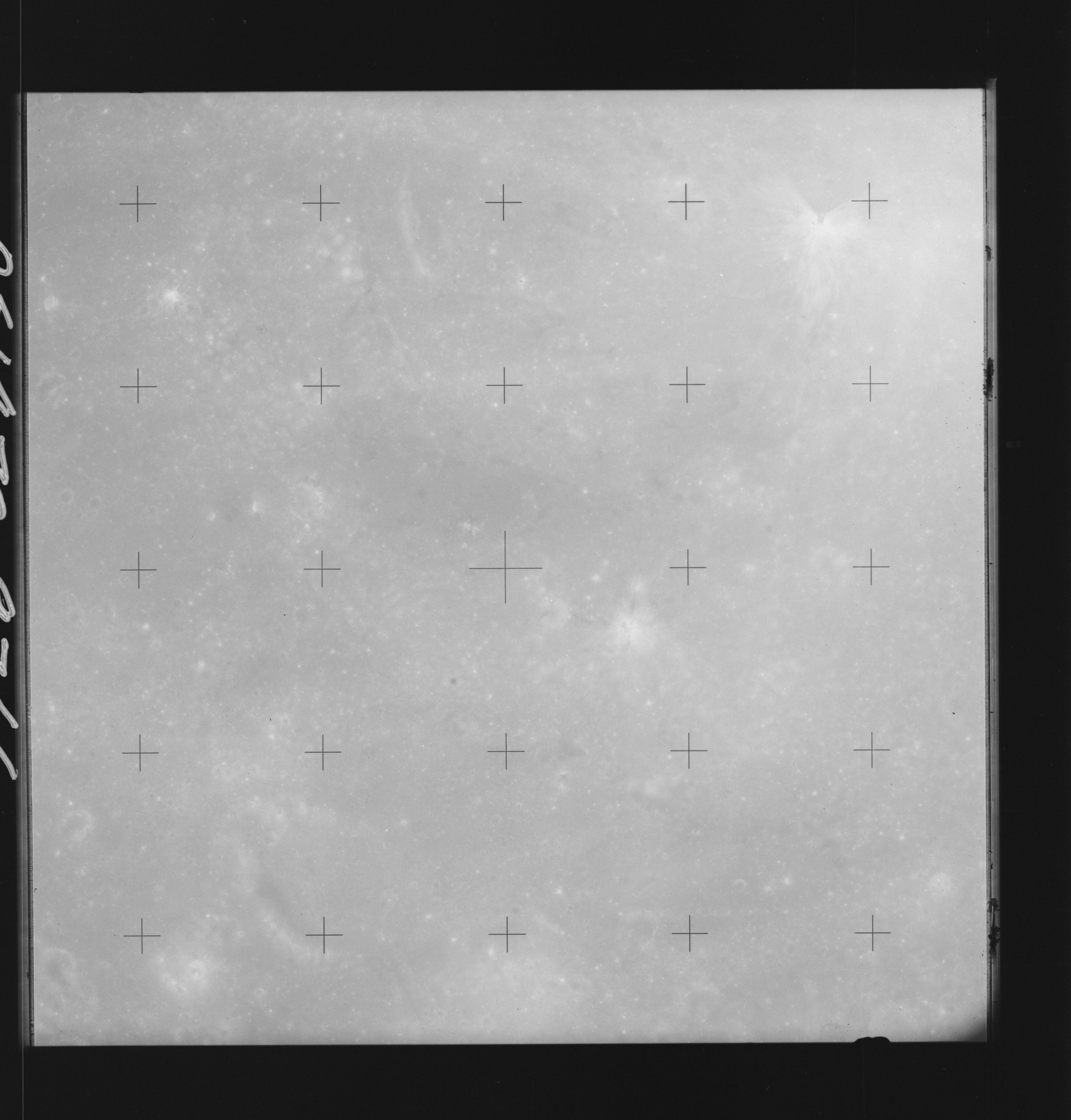 | AS14-70-9766 DAGUERRE, MARE NECTARIS Location: 11° S, 34° E Image credit: National Archives and Records Administration |
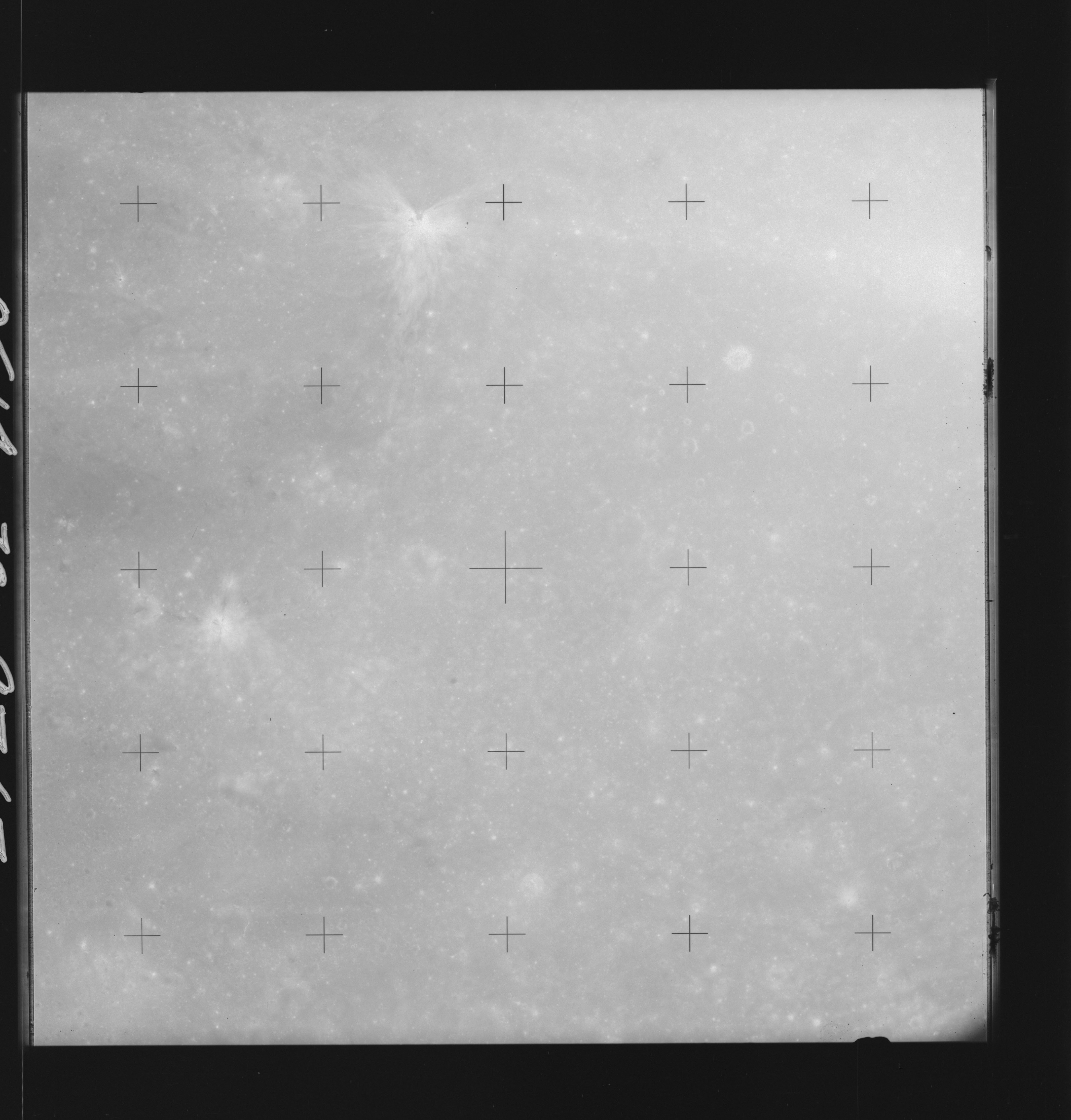 | AS14-70-9767 DAGUERRE, MARE NECTARIS Location: 11° S, 33° E Image credit: National Archives and Records Administration |
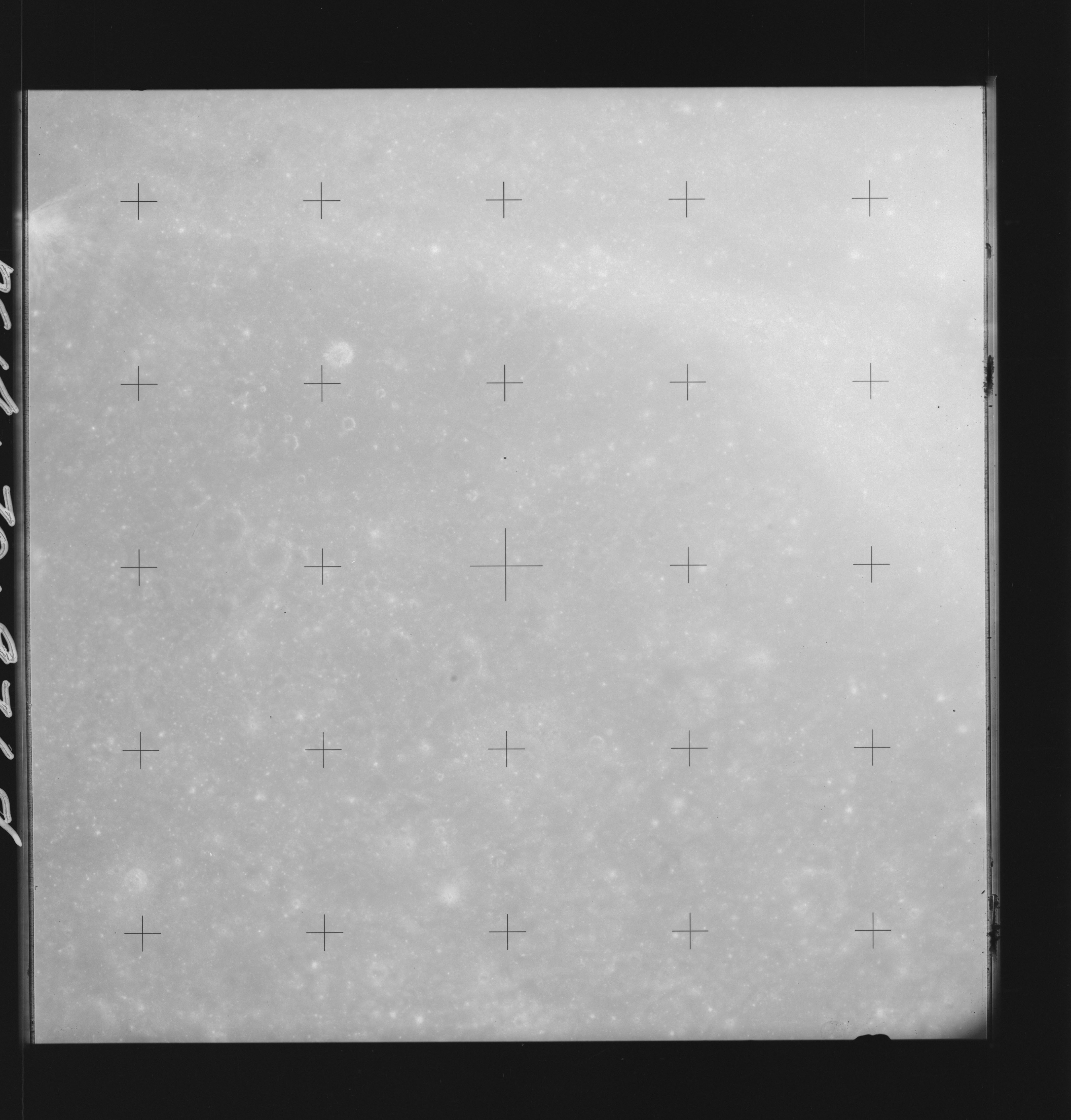 | AS14-70-9768 DAGUERRE, MARE NECTARIS Location: 11° S, 32° E Image credit: National Archives and Records Administration |
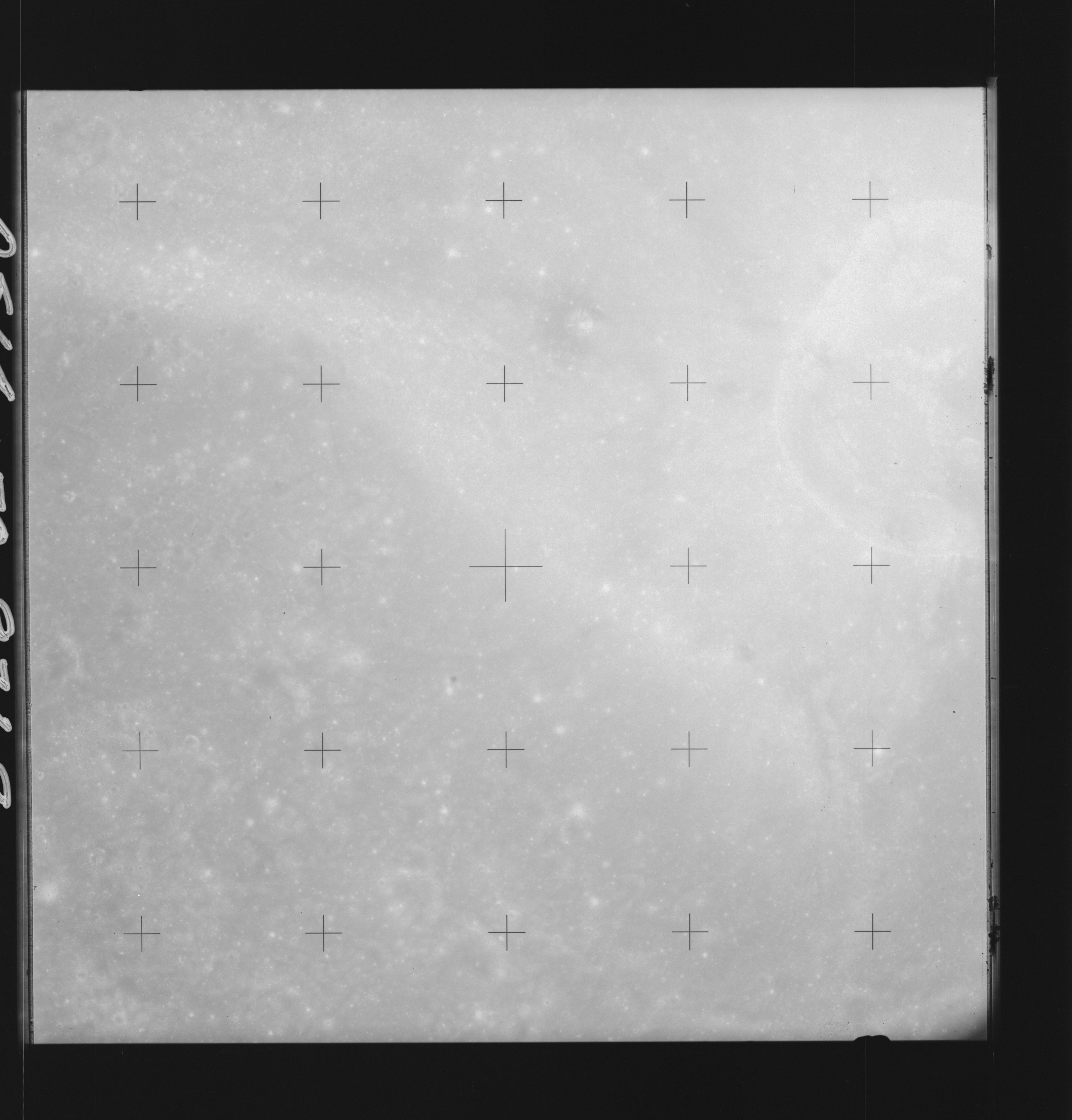 | AS14-70-9769 MADLER Location: 10.5° S, 31° E Image credit: National Archives and Records Administration |
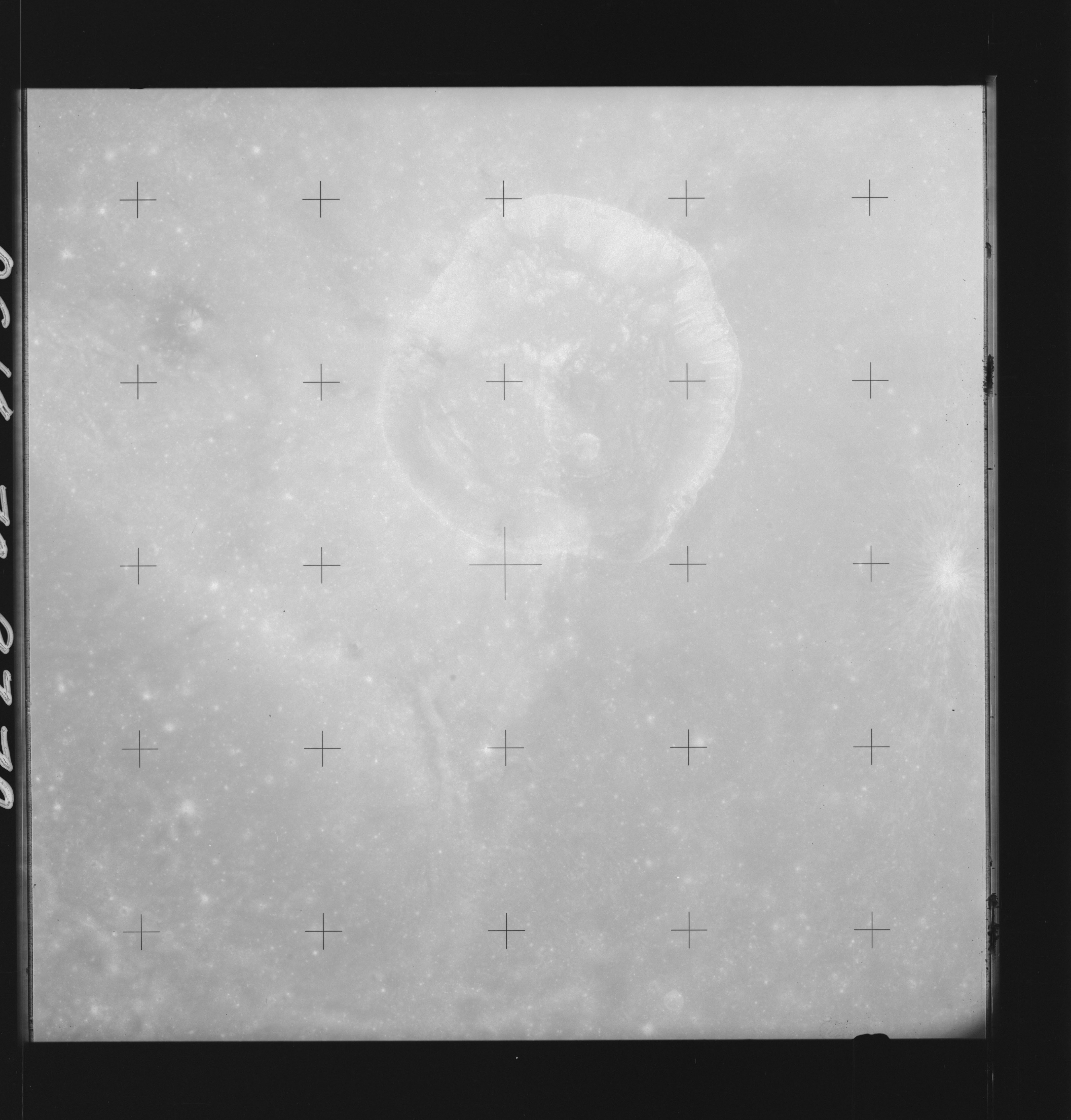 | AS14-70-9770 MADLER Location: 10° S, 30° E Image credit: National Archives and Records Administration |
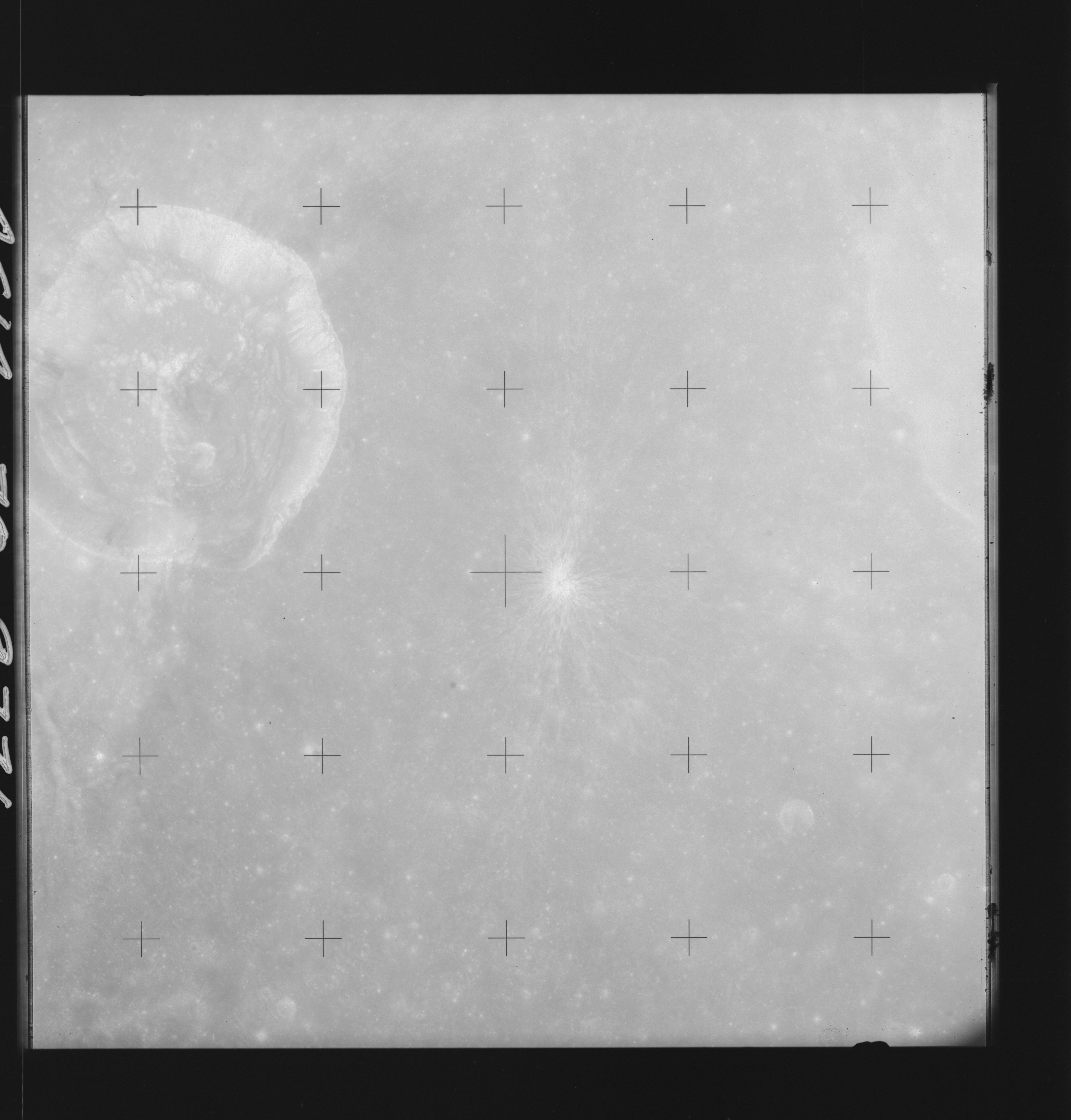 | AS14-70-9771 MADLER, THEOPHILUS Location: 10° S, 29° E Image credit: National Archives and Records Administration |
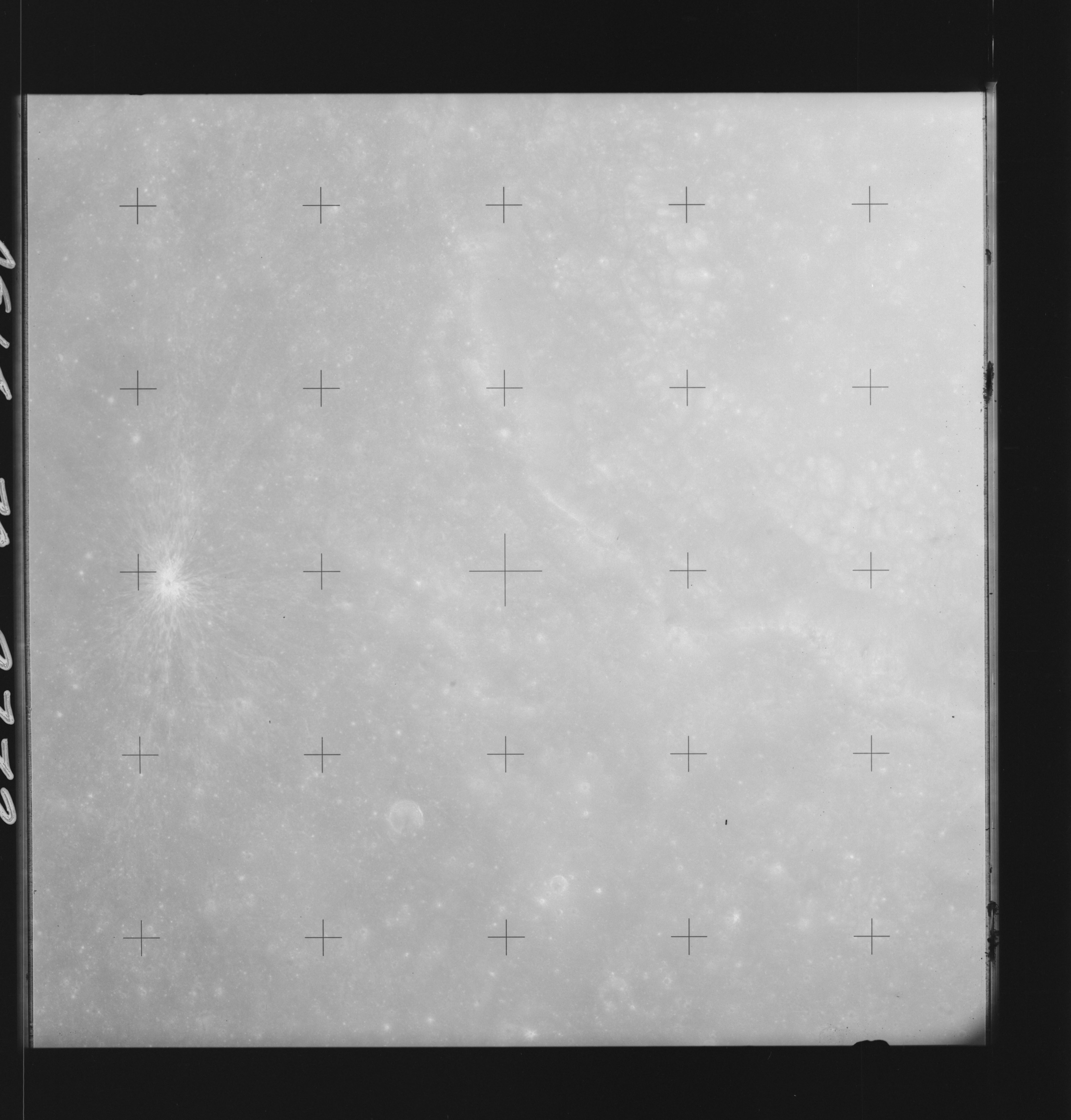 | AS14-70-9772 THEOPHILUS Location: 10° S, 28° E Image credit: National Archives and Records Administration |
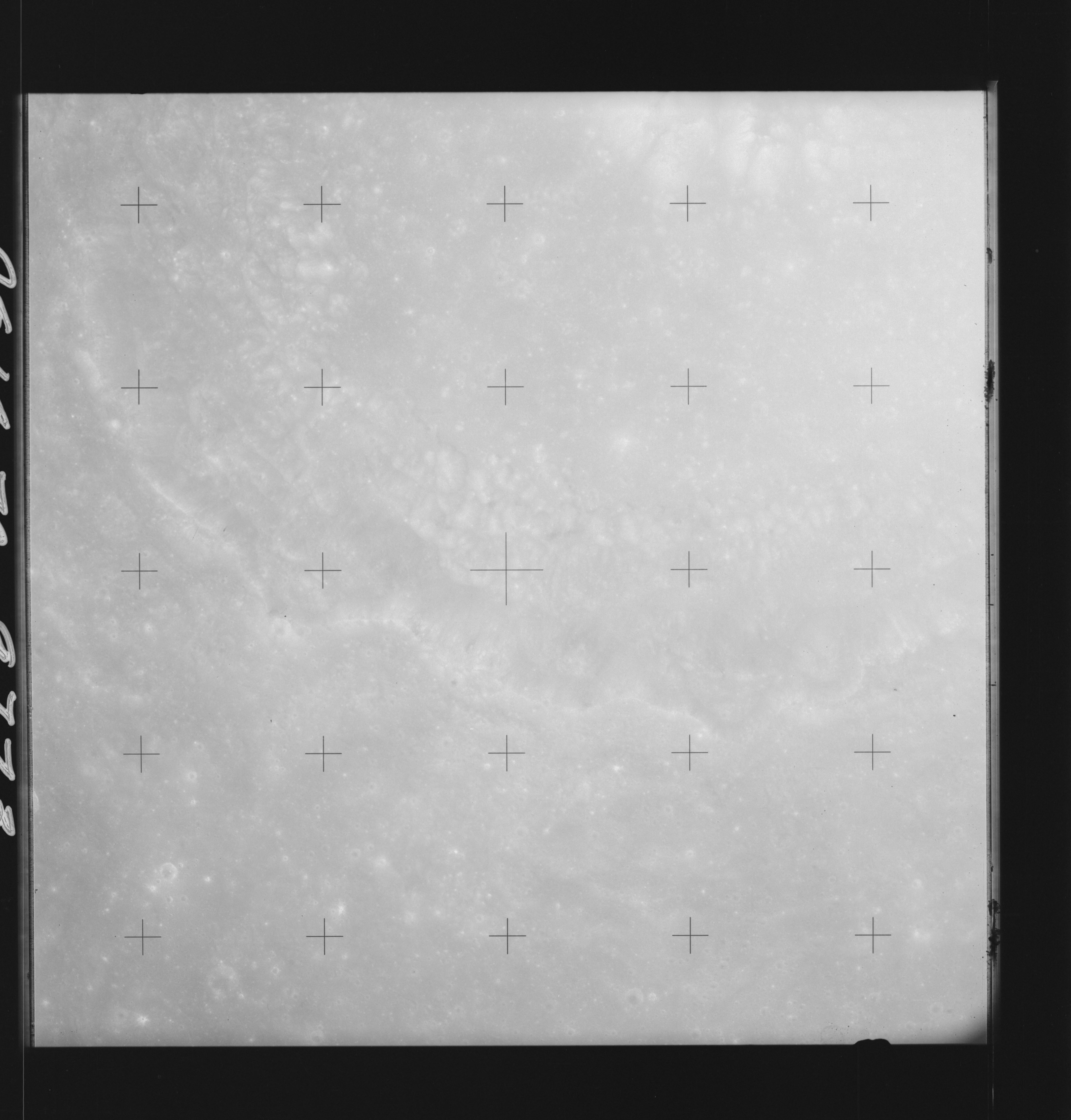 | AS14-70-9773 THEOPHILUS Location: 10° S, 26.5° E Image credit: National Archives and Records Administration |
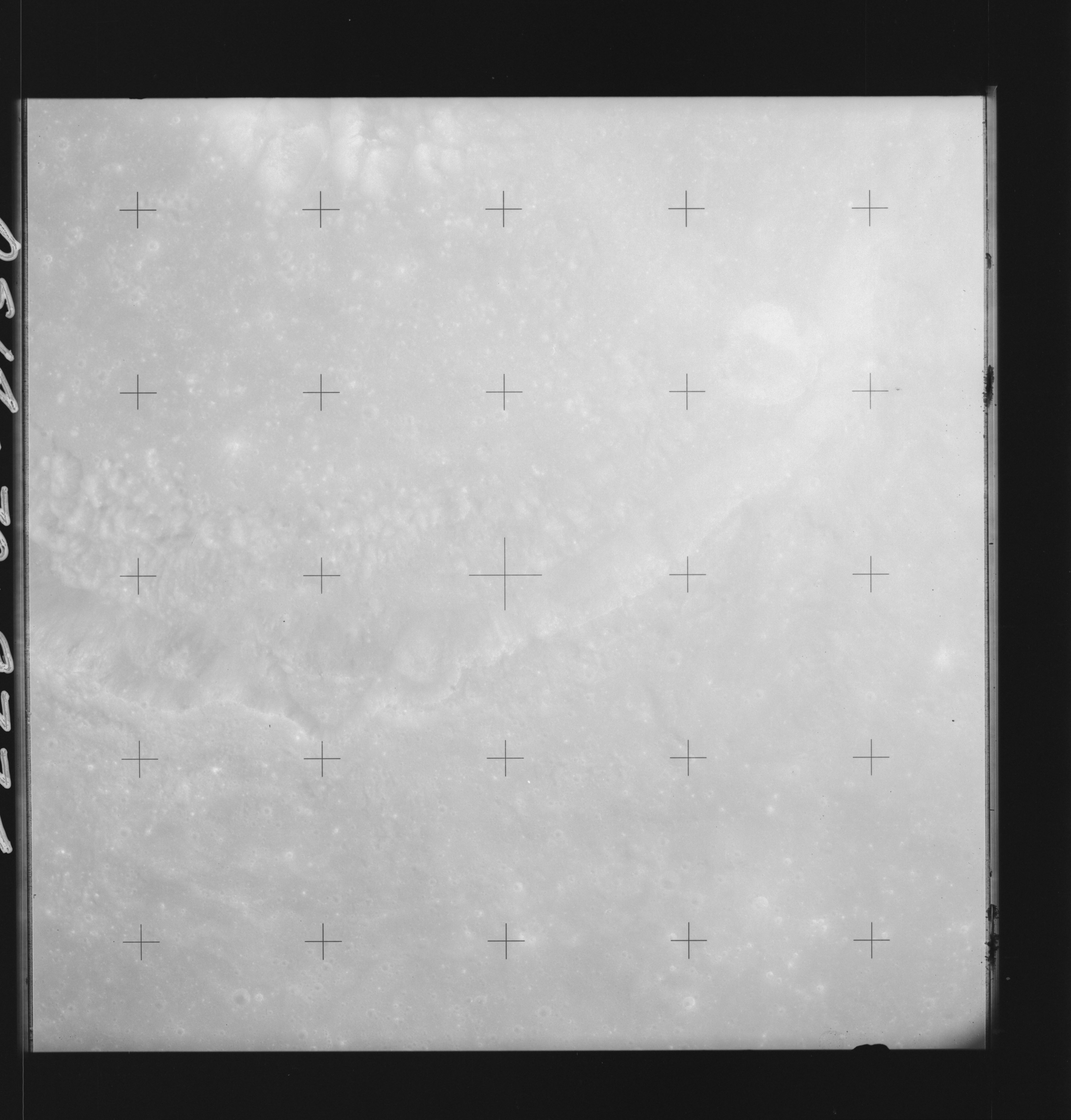 | AS14-70-9774 THEOPHILUS Location: 10° S, 26° E Image credit: National Archives and Records Administration |
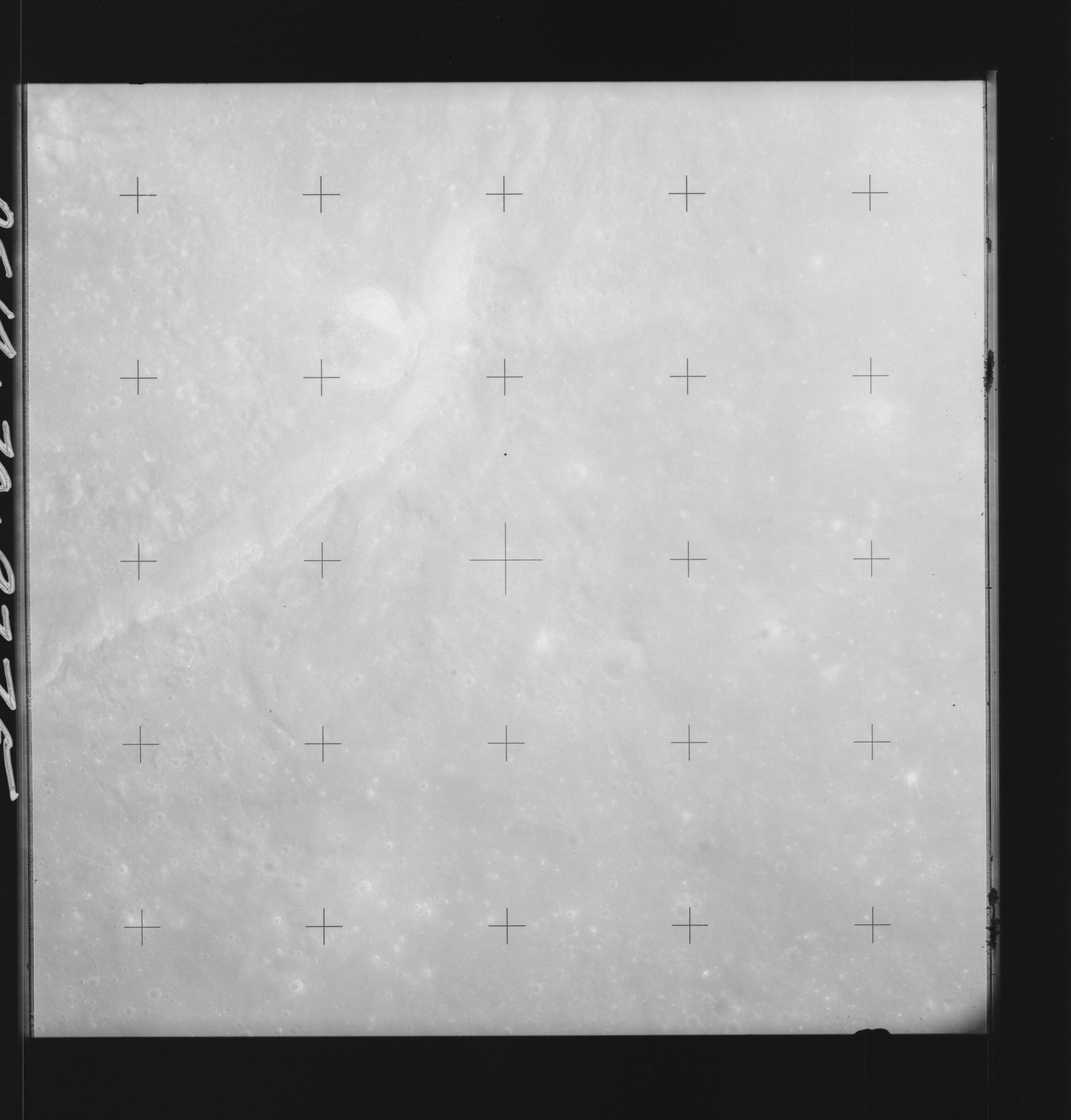 | AS14-70-9775 THEOPHILUS Location: 10° S, 25° E Image credit: National Archives and Records Administration |
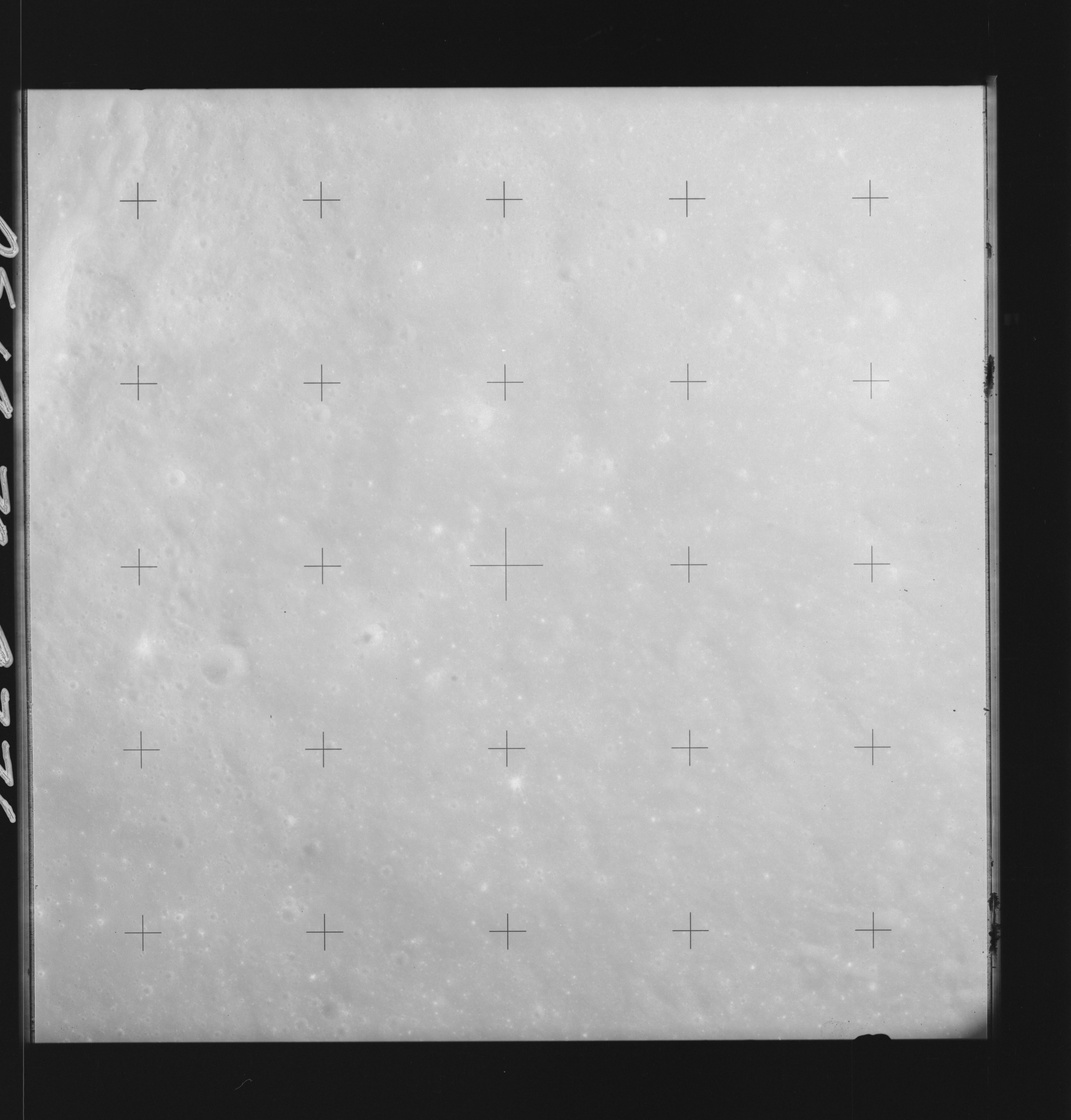 | AS14-70-9776 THEOPHILUS Location: 10° S, 23.5° E Image credit: National Archives and Records Administration |
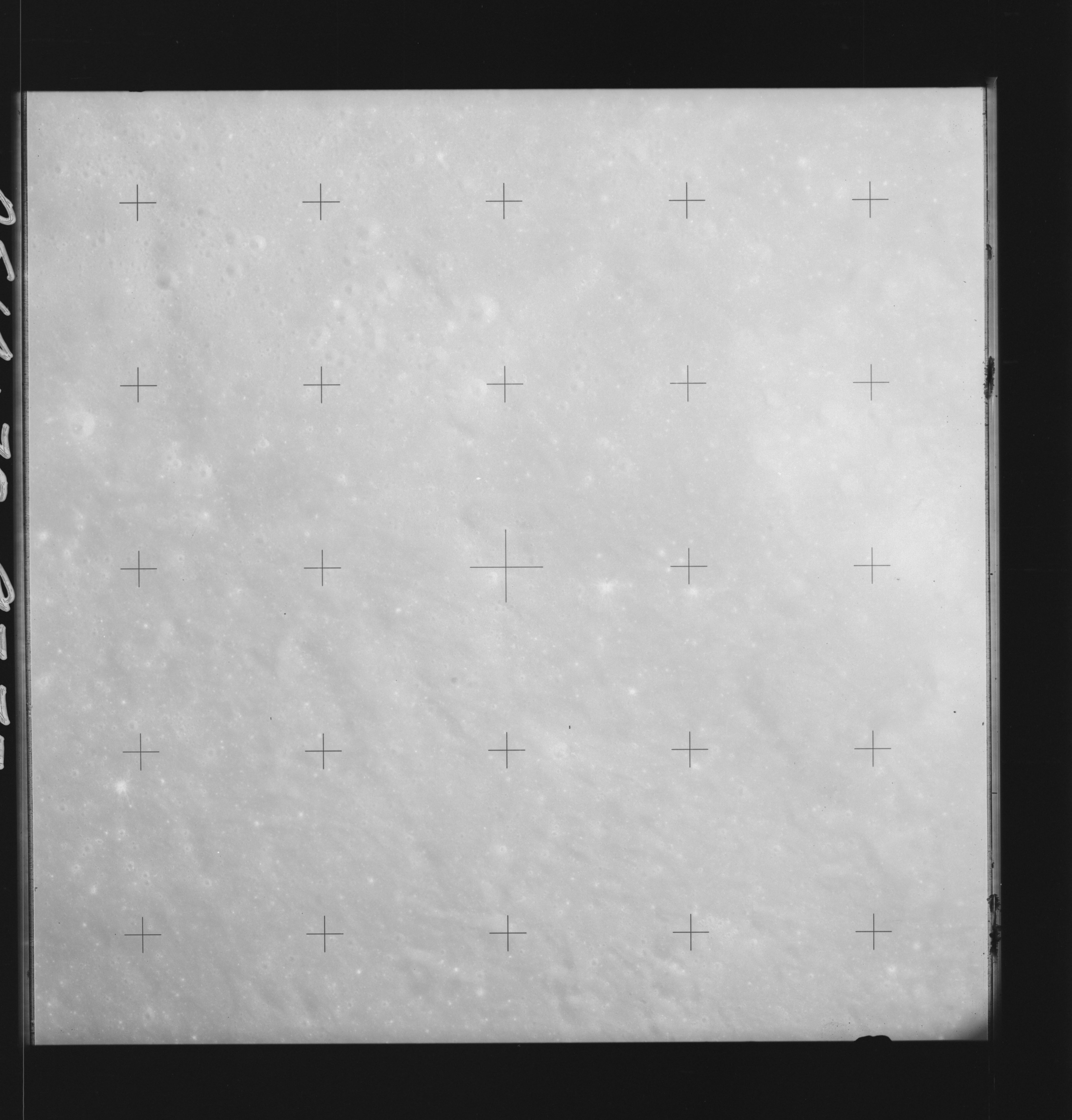 | AS14-70-9777 THEOPHILUS Location: 9.5° S, 23° E Image credit: National Archives and Records Administration |
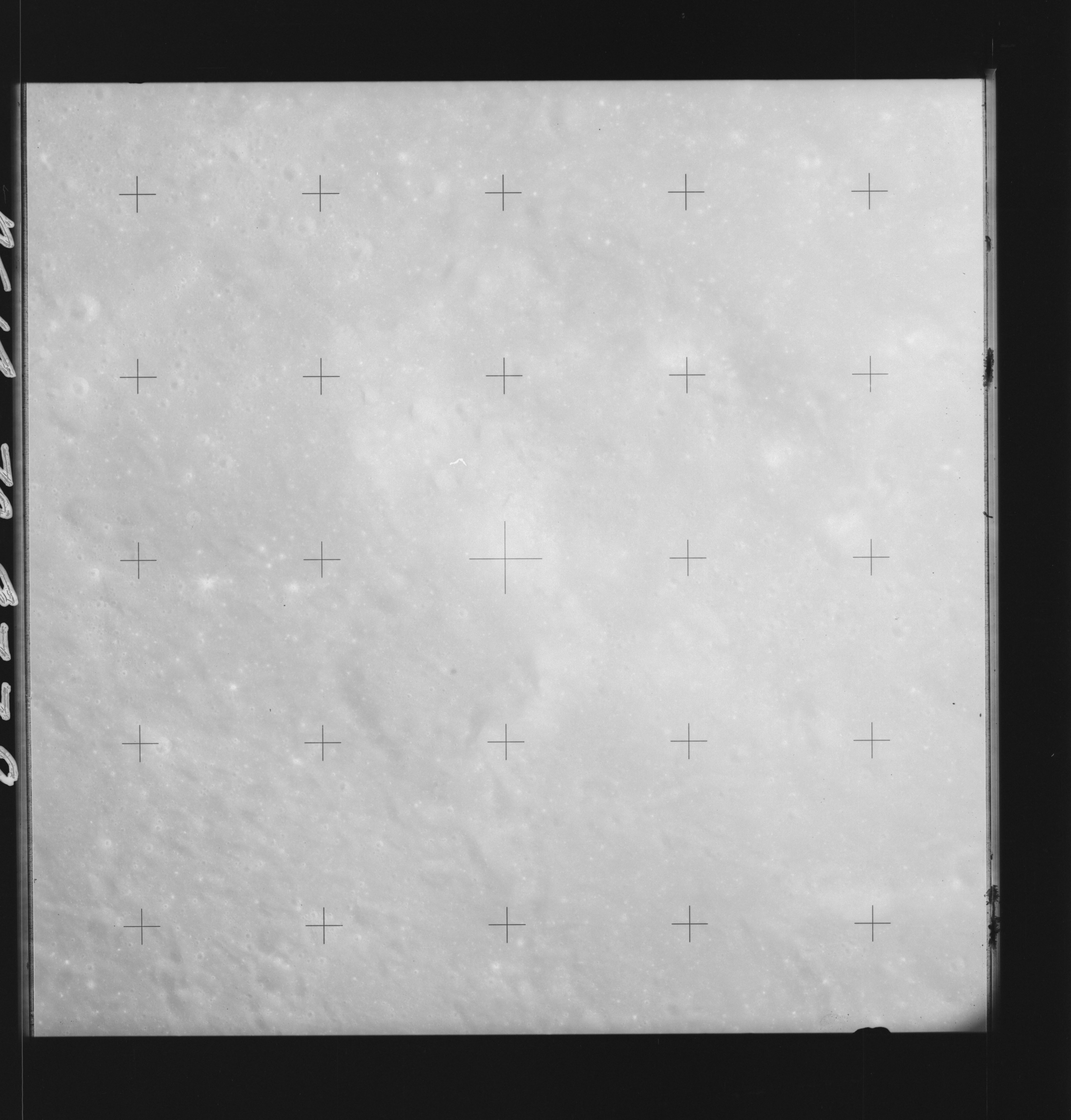 | AS14-70-9778 KANT Location: 9.5° S, 22° E Image credit: National Archives and Records Administration |
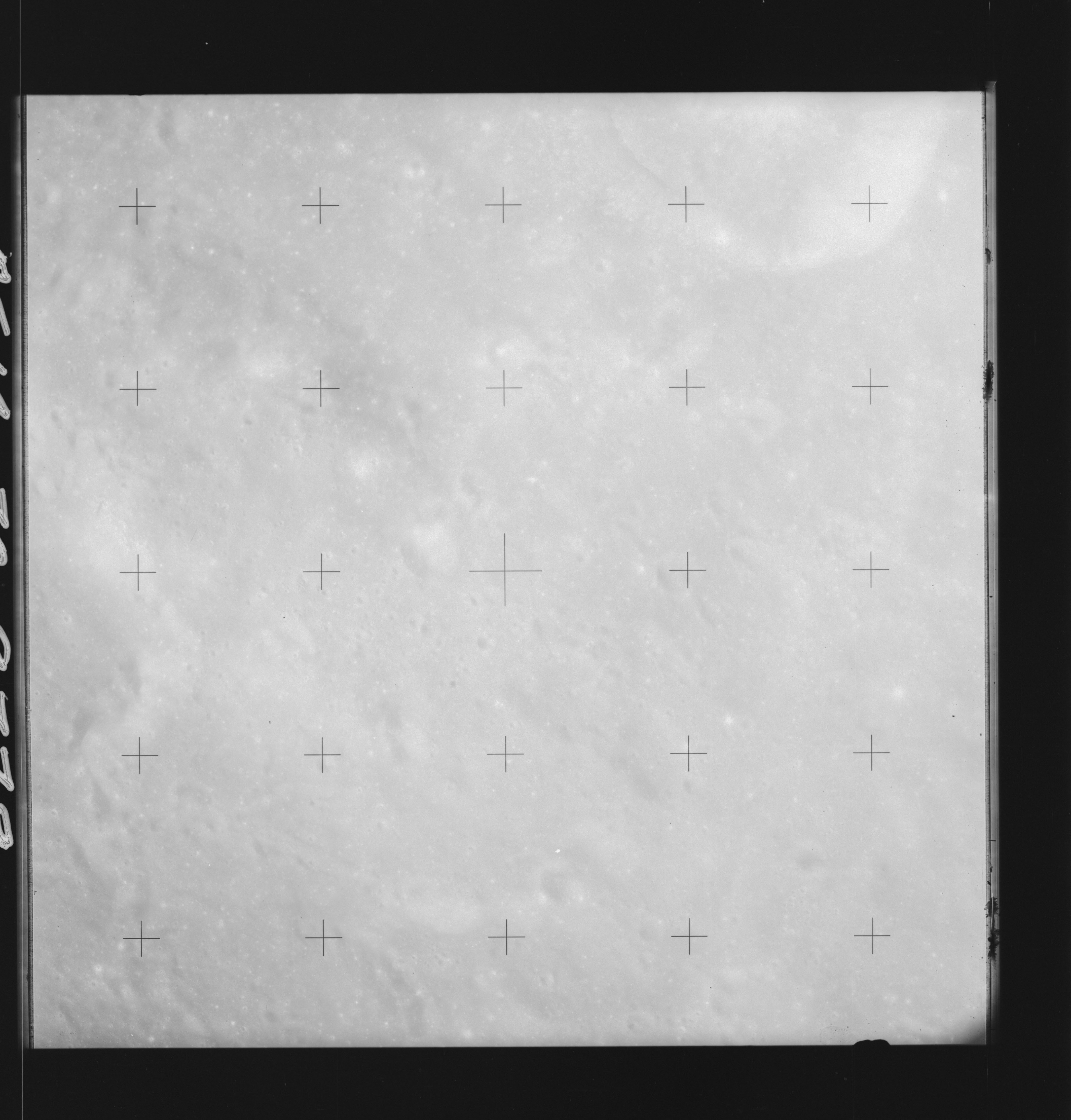 | AS14-70-9779 KANT Location: 9.5° S, 21° E Image credit: National Archives and Records Administration |
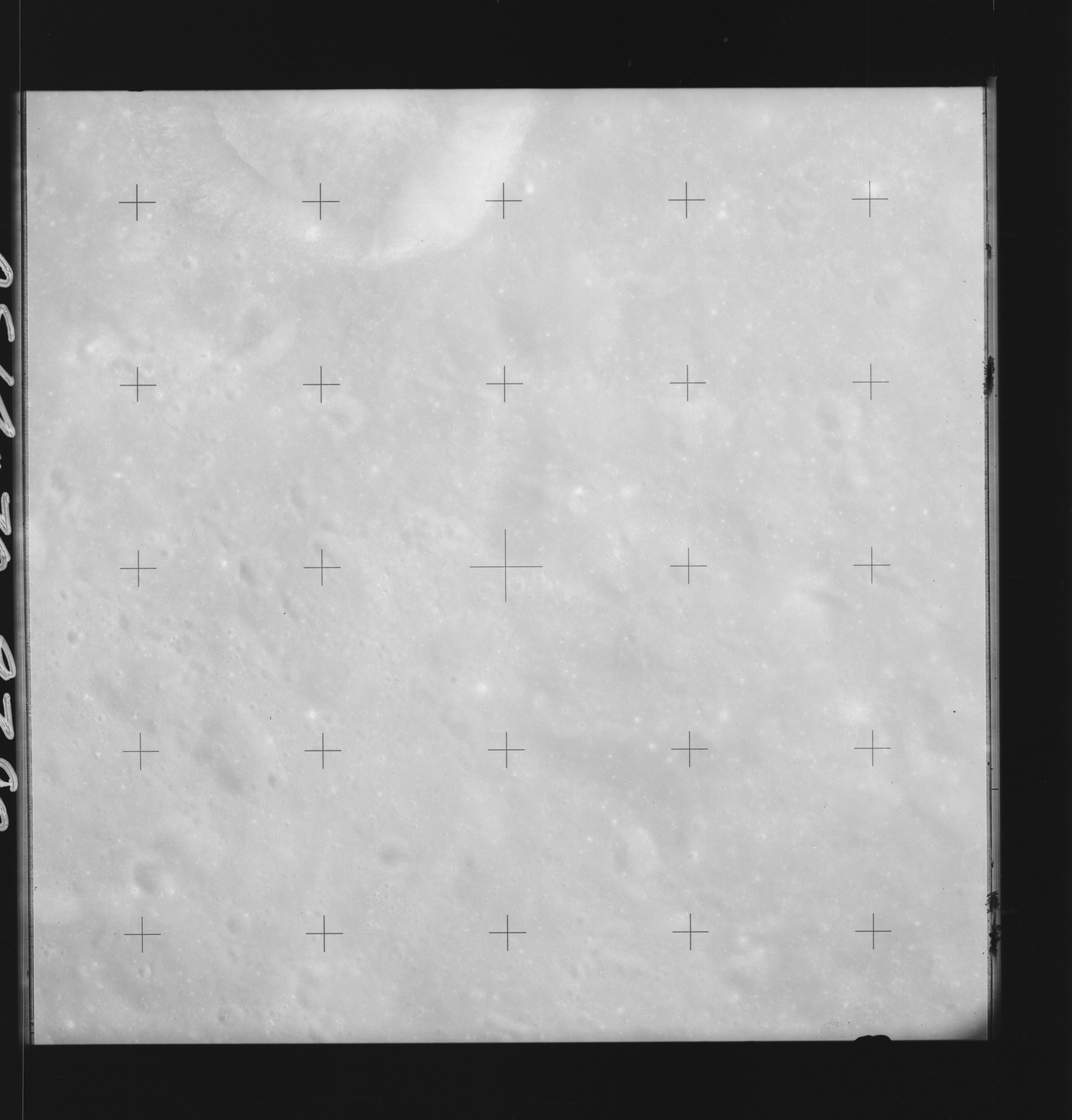 | AS14-70-9780 KANT Location: 9.5° S, 20° E Image credit: National Archives and Records Administration |
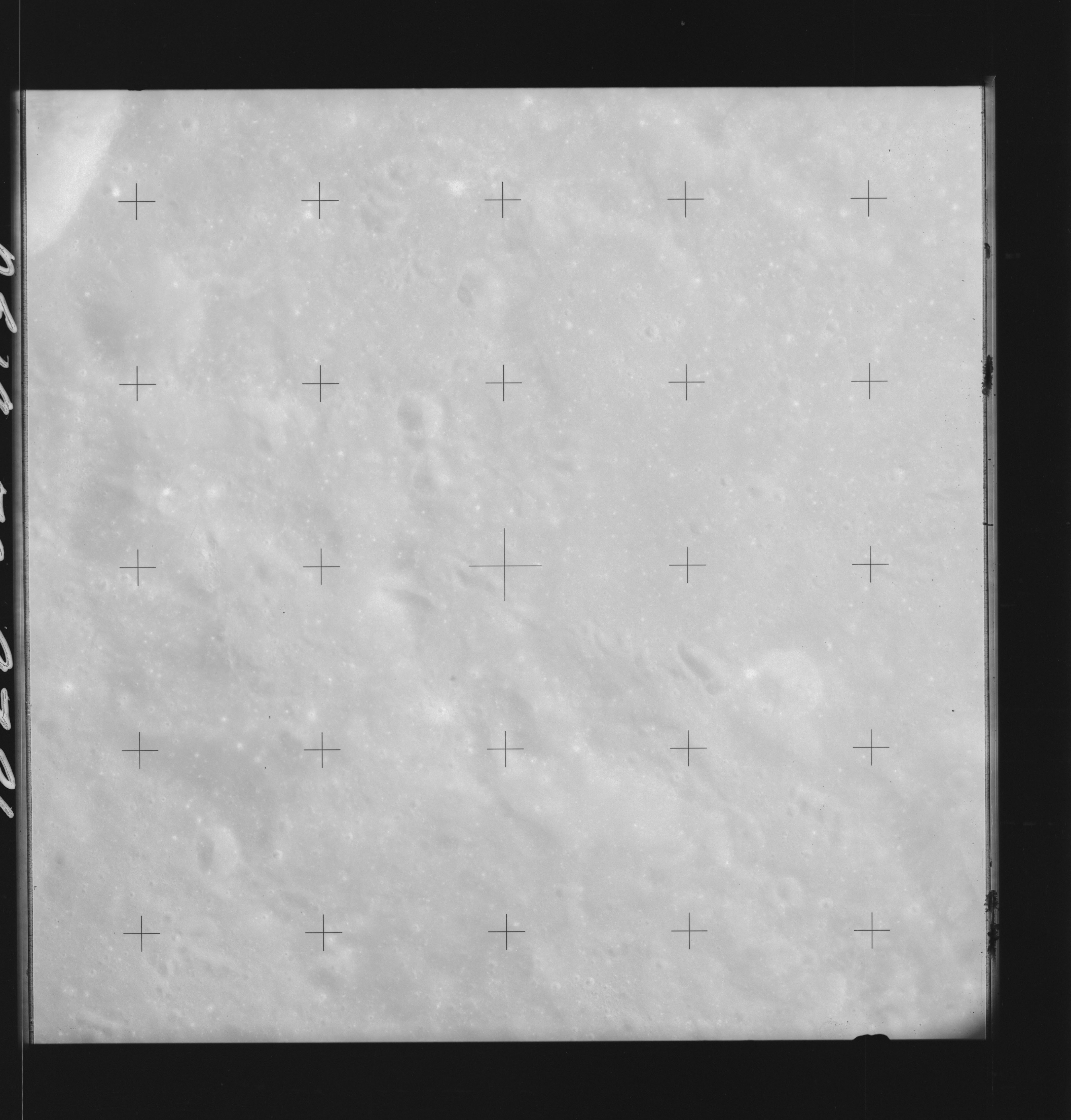 | AS14-70-9781 KANT, ZOLLNER Location: 9.5° S, 19° E Image credit: National Archives and Records Administration |
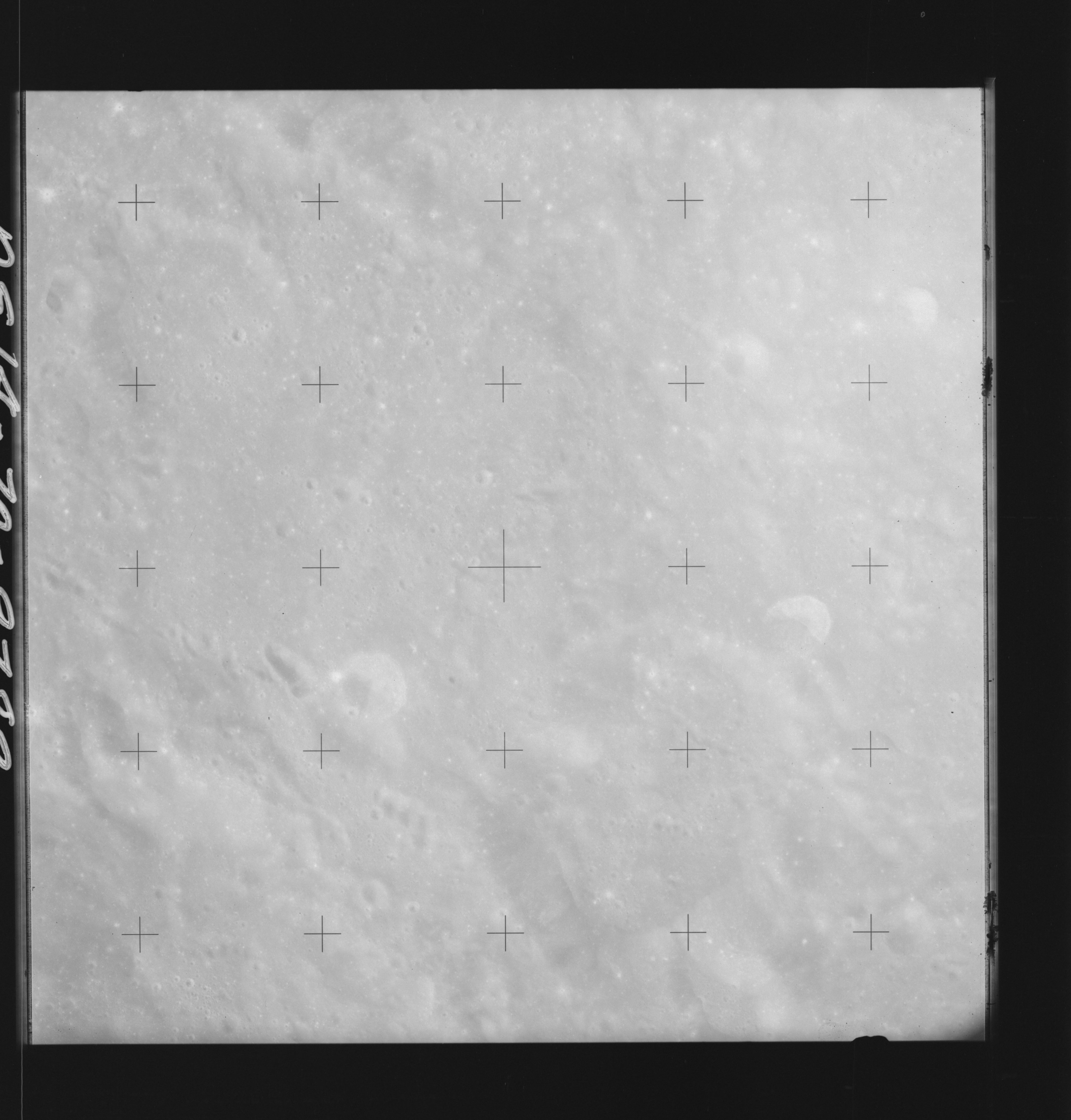 | AS14-70-9782 ZOLLNER Location: 9° S, 18° E Image credit: National Archives and Records Administration |
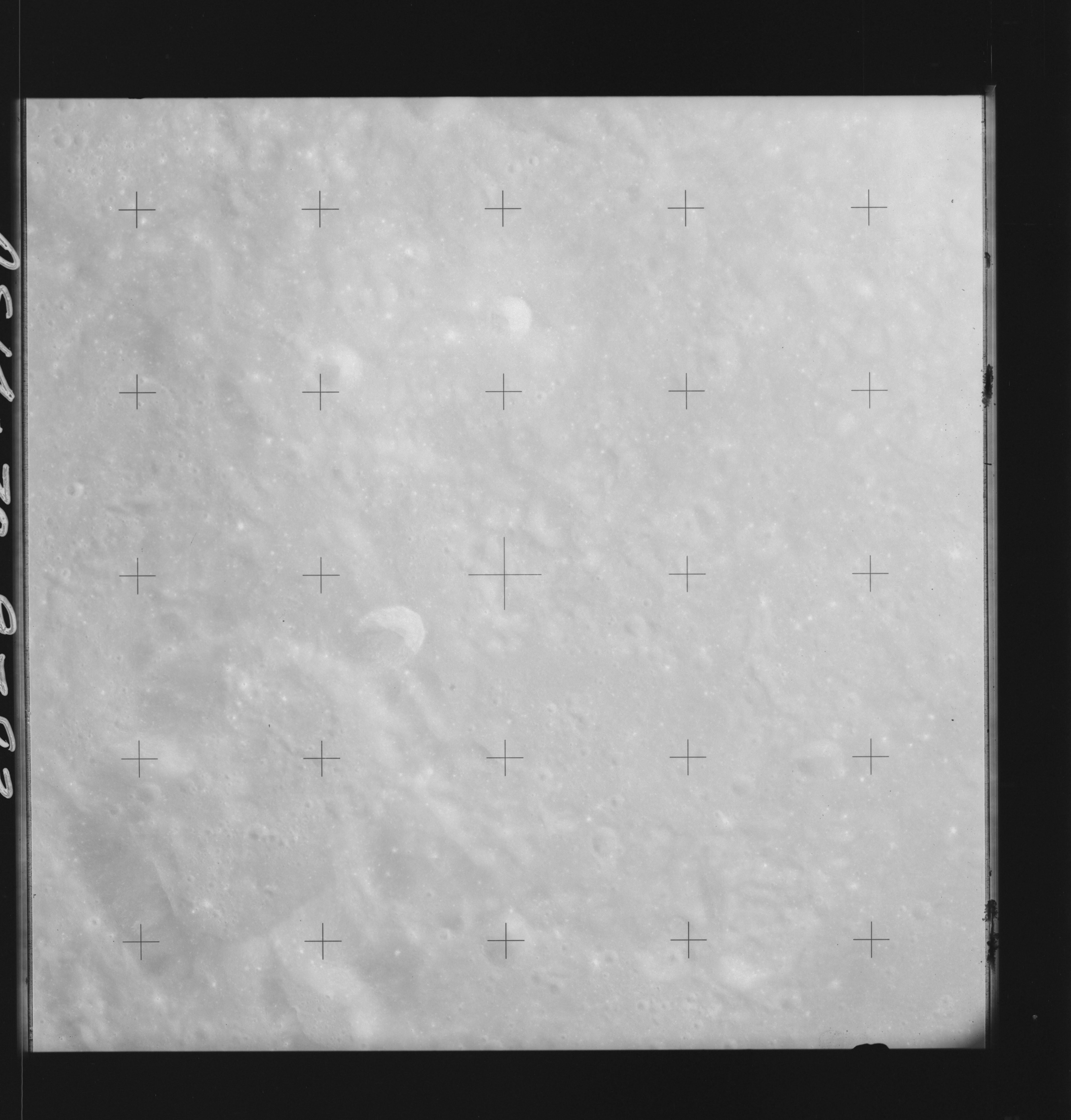 | AS14-70-9783 APPROACH TO DESCARTES Location: 9° S Image credit: National Archives and Records Administration |
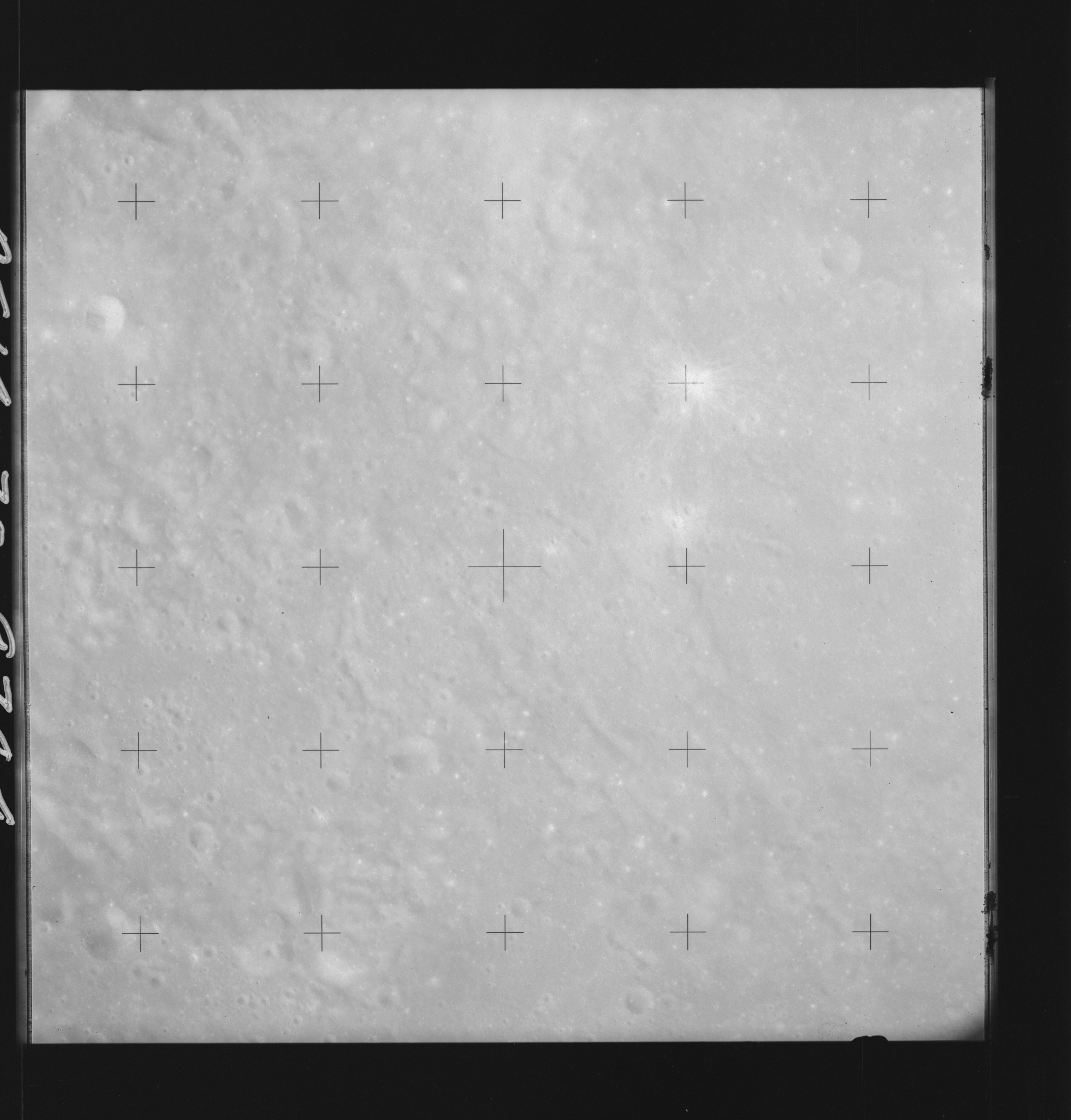 | AS14-70-9784 APOLLO 16 LANDING SITE Location: 8.5° S Image credit: National Archives and Records Administration |
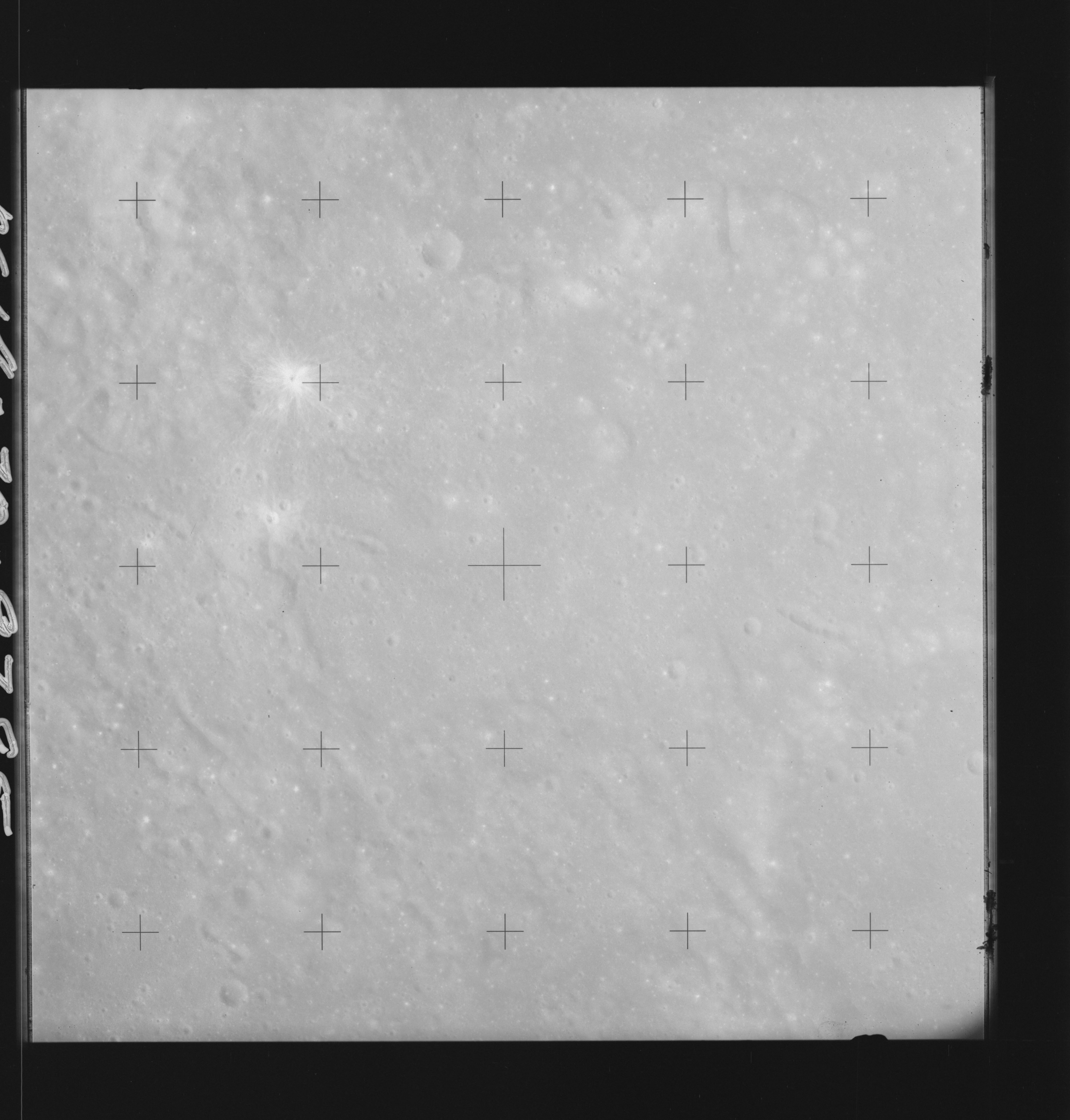 | AS14-70-9785 DOLLOND B Location: 8.5° S Image credit: National Archives and Records Administration |
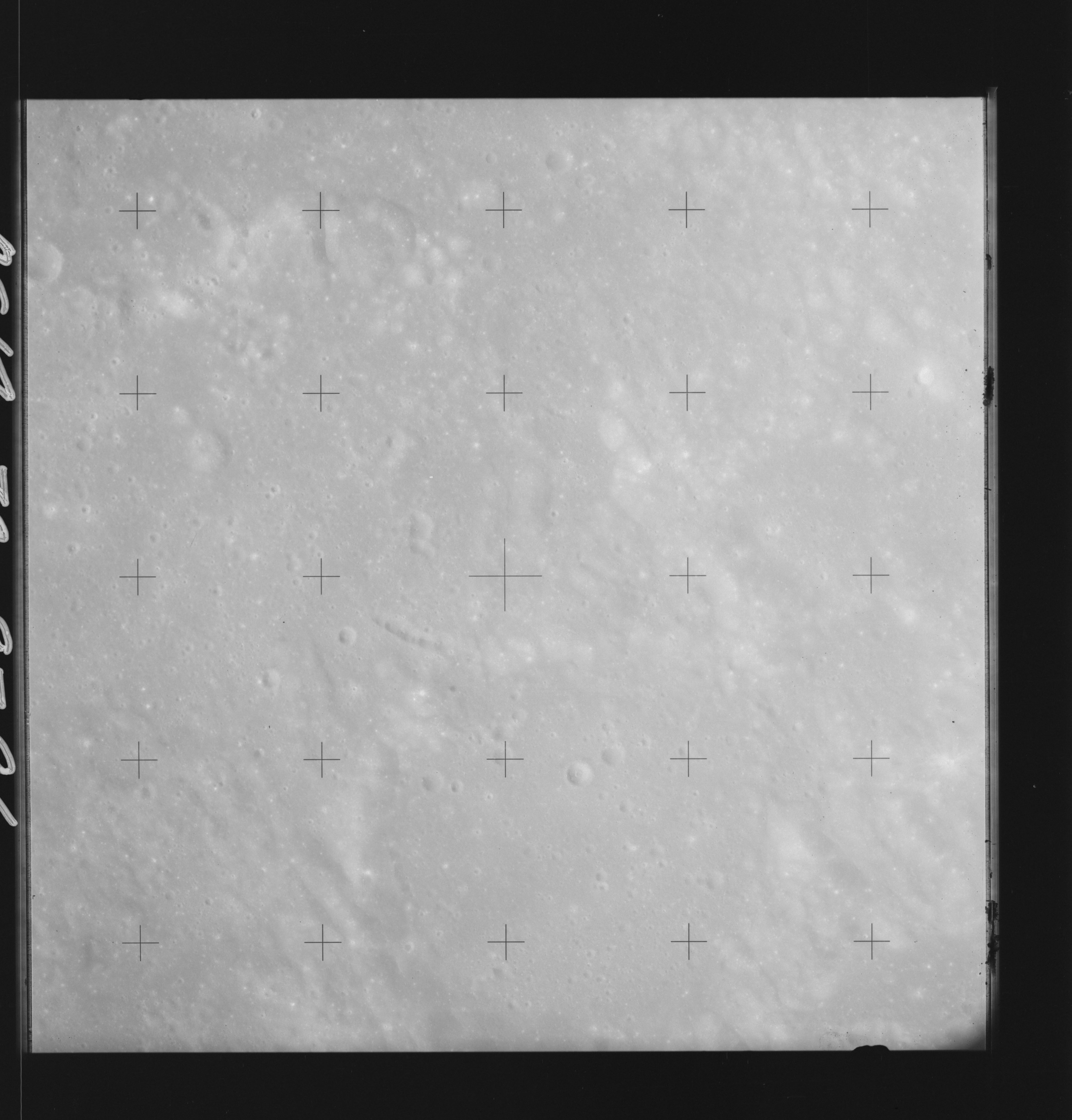 | AS14-70-9786 DOLLOND B, DOLLOND C Location: 8.5° S Image credit: National Archives and Records Administration |
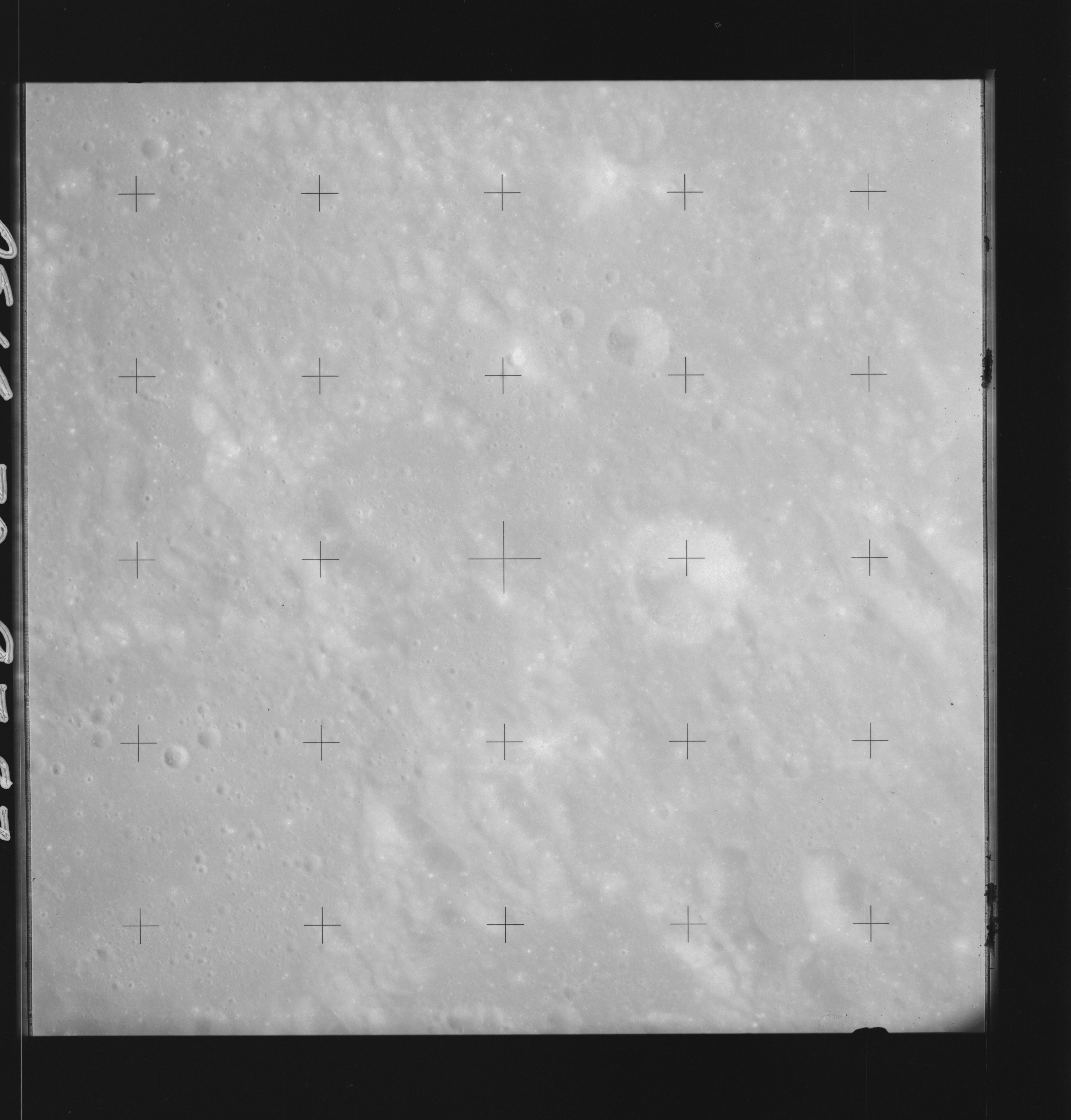 | AS14-70-9787 DOLLOND B, DOLLOND C Location: 8° S Image credit: National Archives and Records Administration |
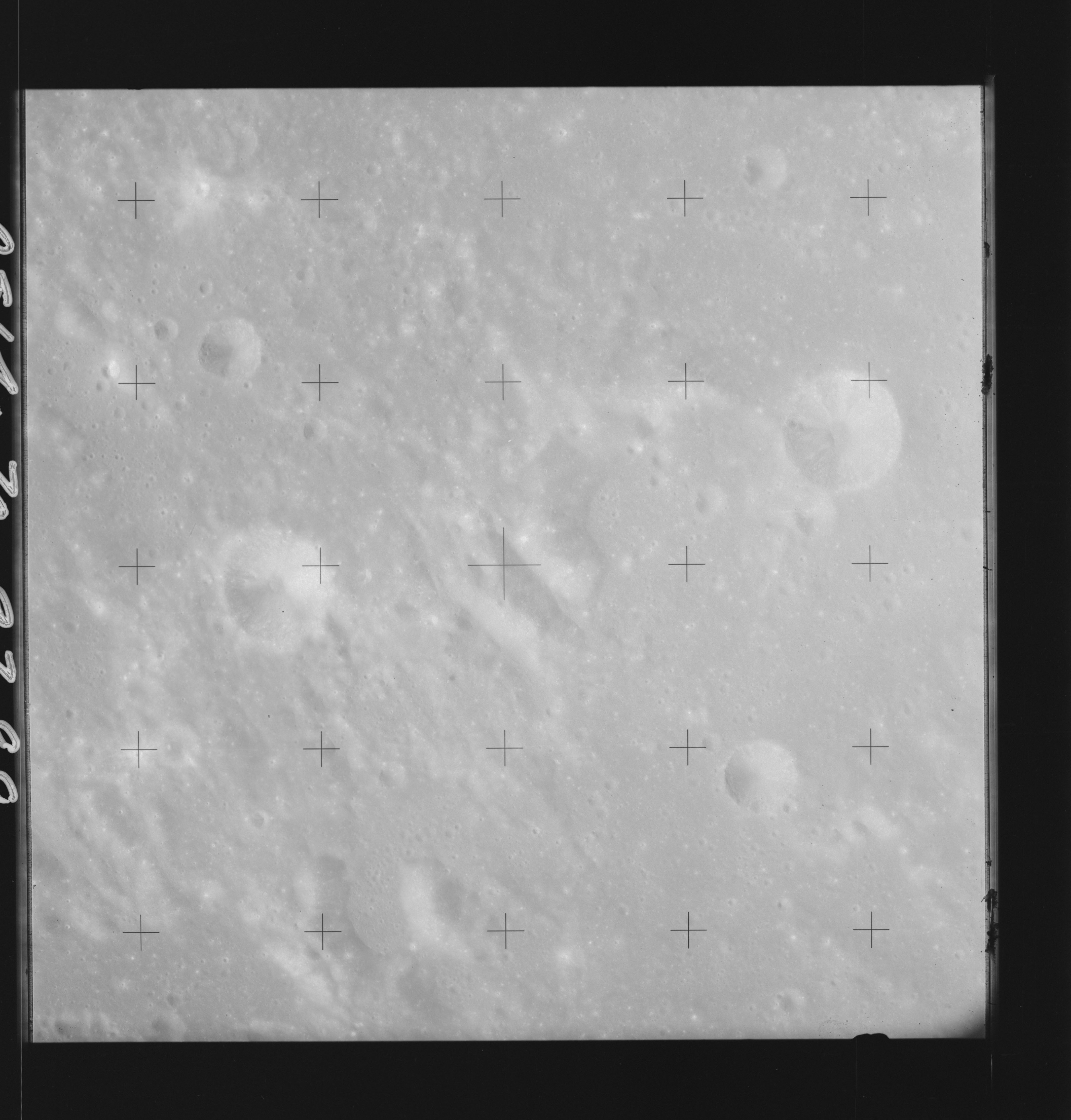 | AS14-70-9788 DOLLOND C Location: 8° S Image credit: National Archives and Records Administration |
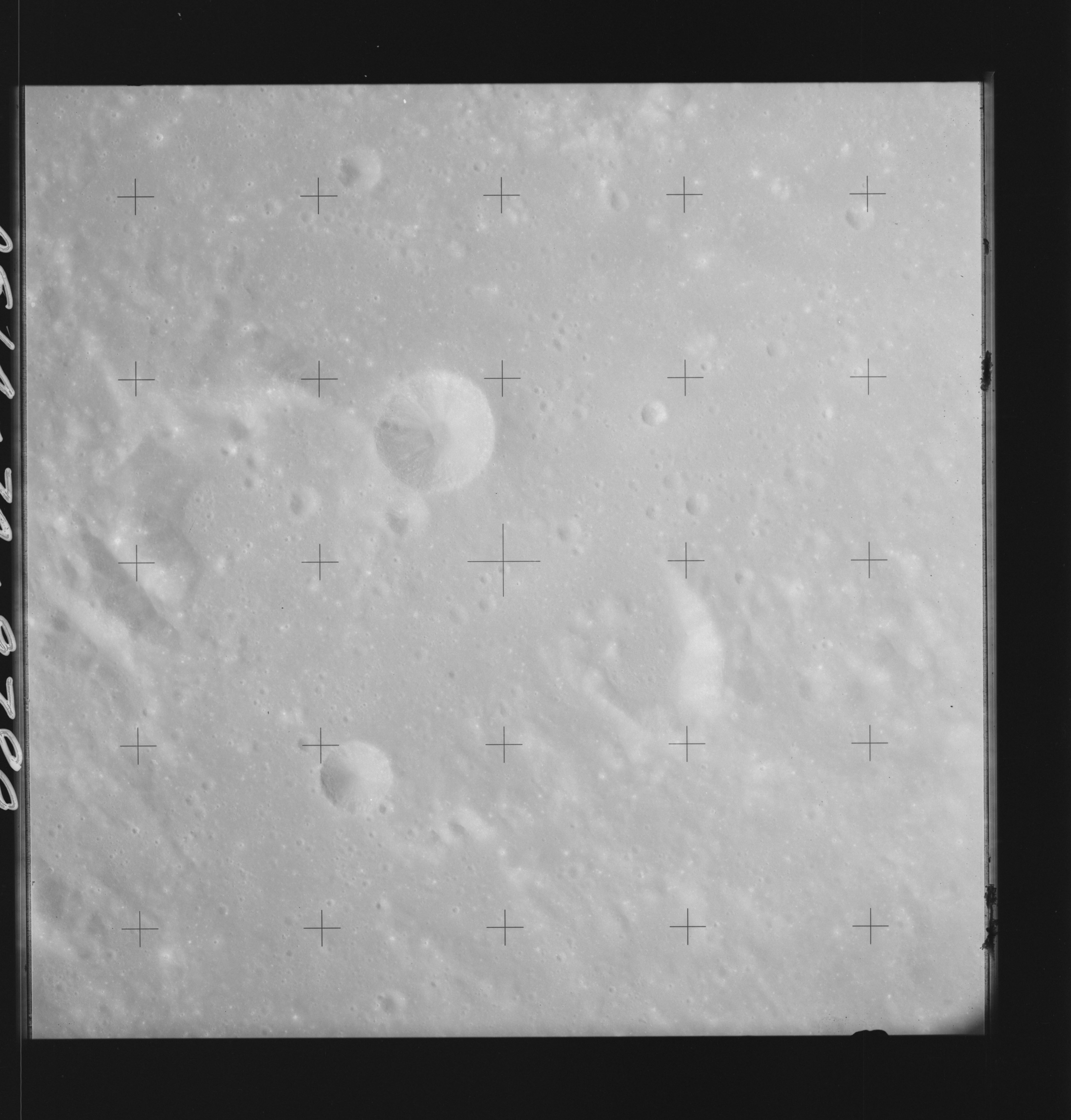 | AS14-70-9789 ANDEL F, ANDEL H, ANDEL J Location: 8° S Image credit: National Archives and Records Administration |
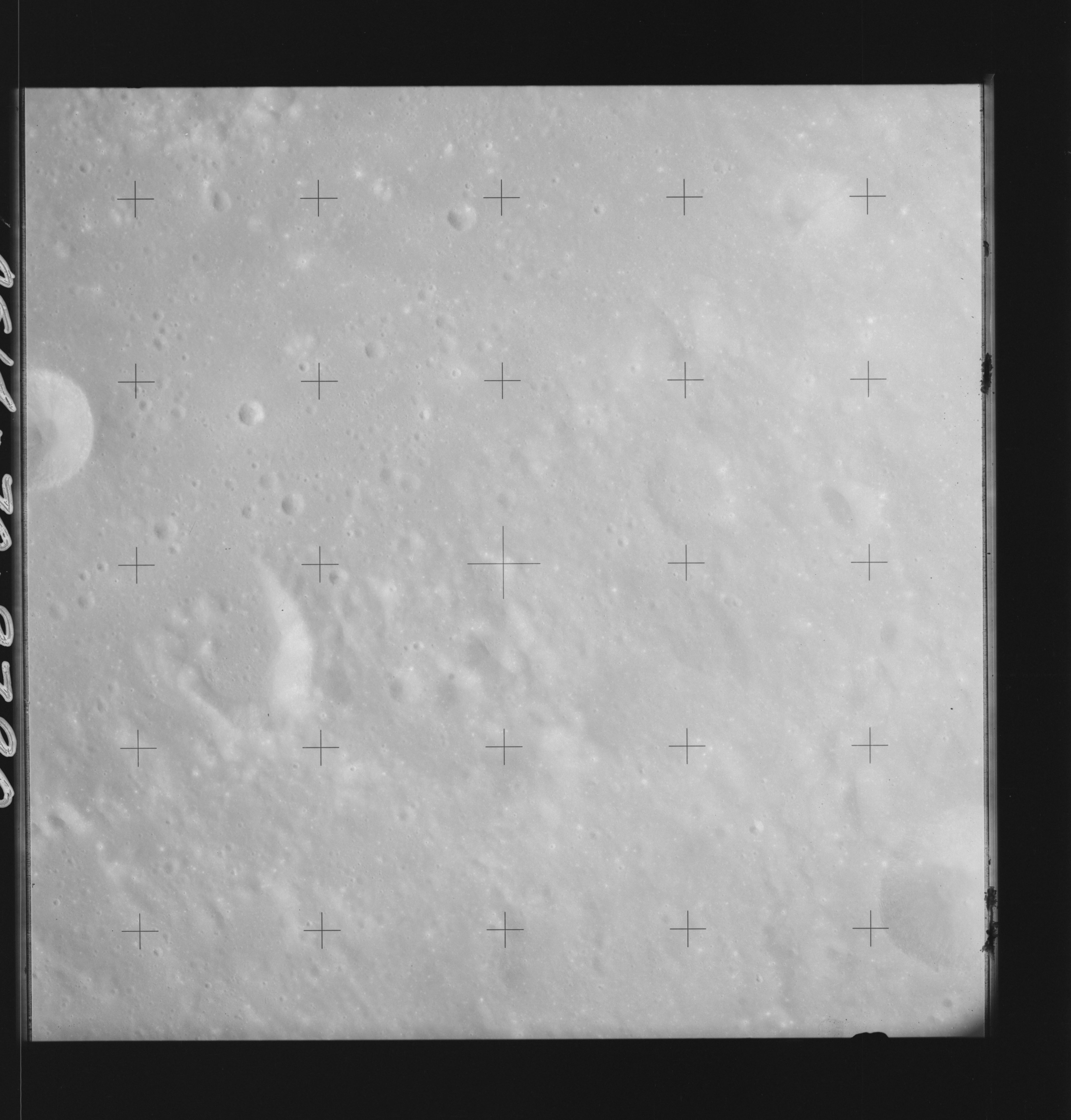 | AS14-70-9790 ANDEL B, HIPPARCHUS L Location: 7.5° S Image credit: National Archives and Records Administration |
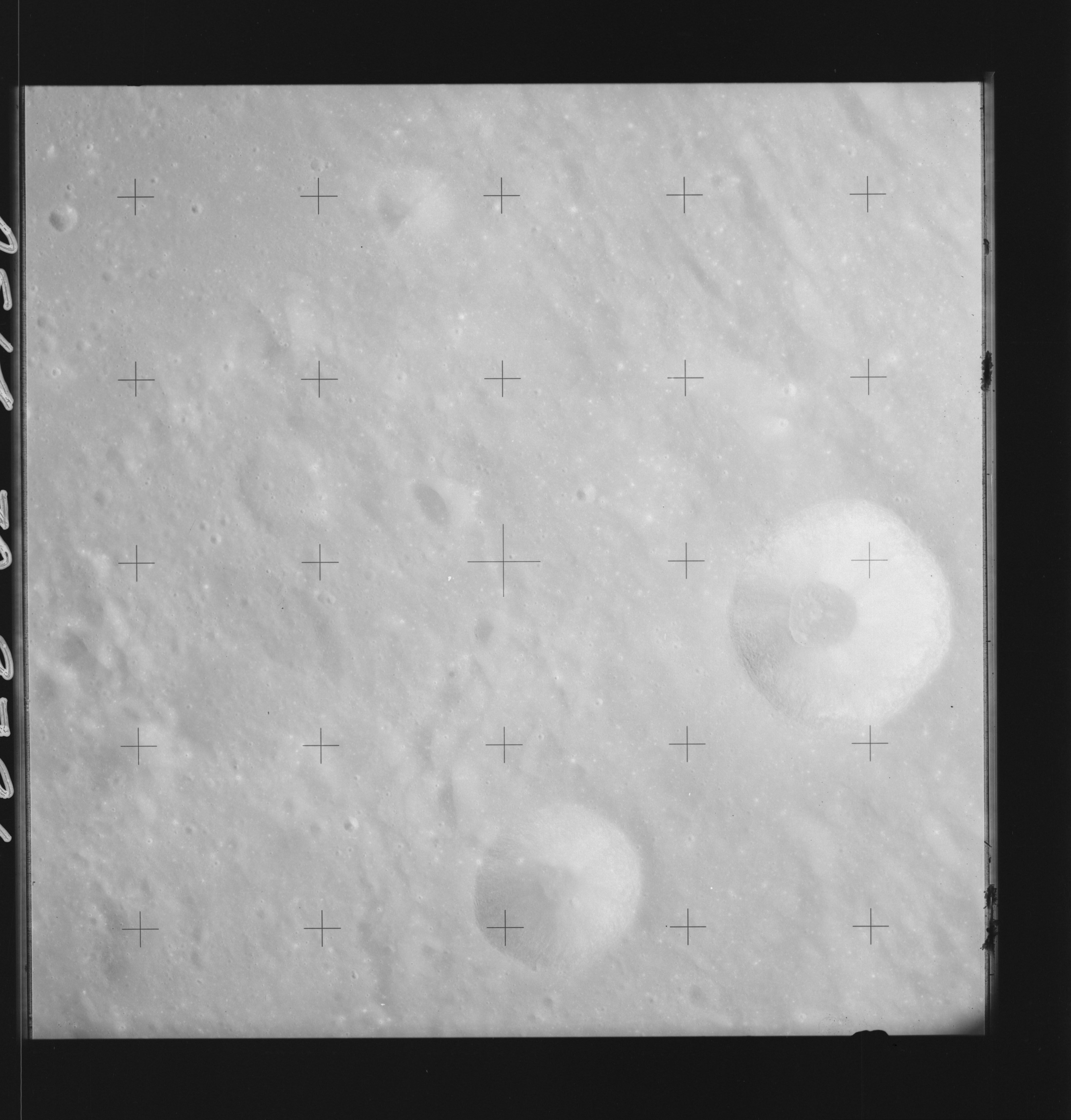 | AS14-70-9791 HIND, HIPPARCHUS C, HIPPARCHUS L Location: 7.5° S Image credit: National Archives and Records Administration |
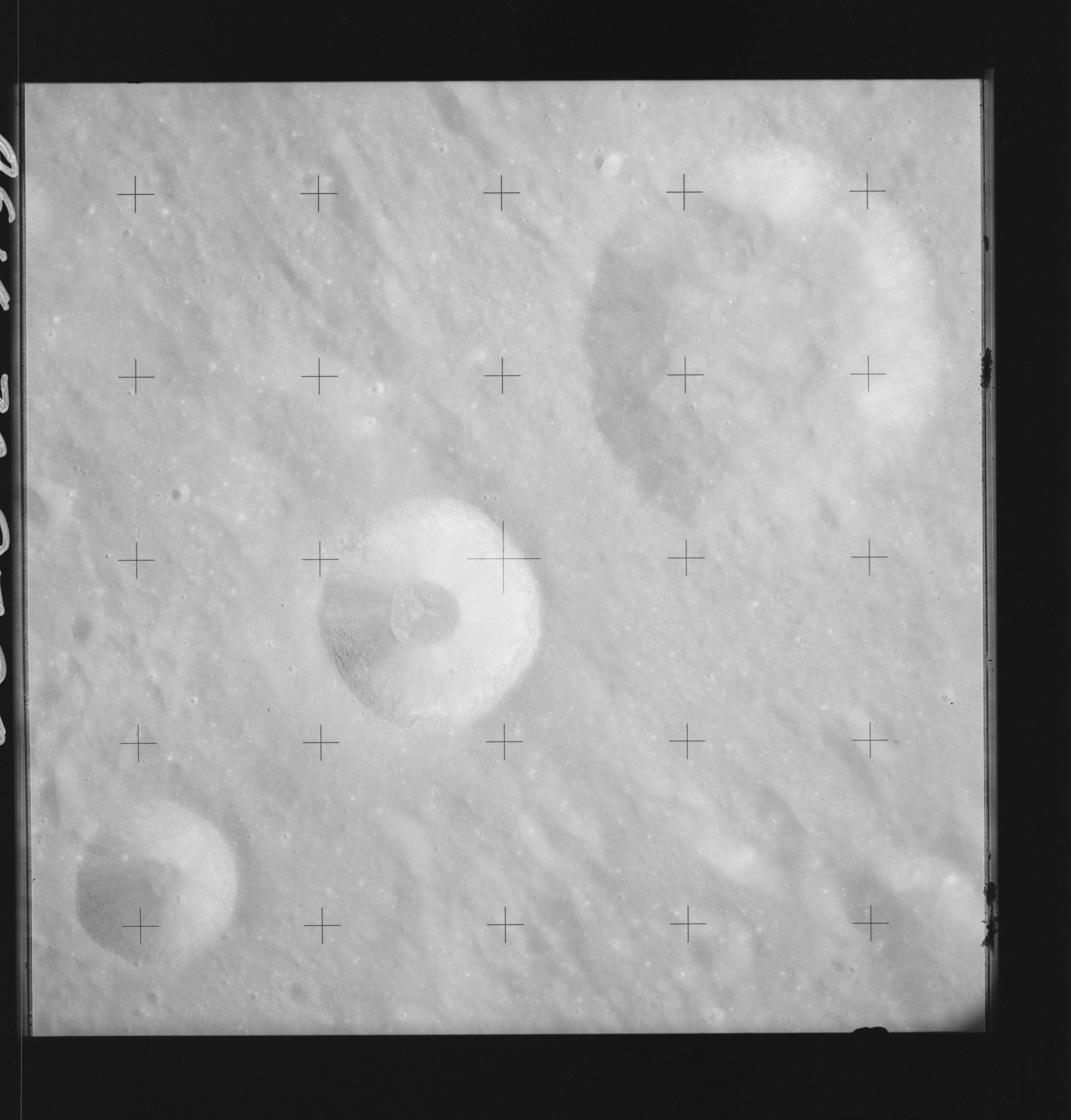 | AS14-70-9792 HIND, HIPPARCHUS C, HIPPARCHUS L Image credit: National Archives and Records Administration |
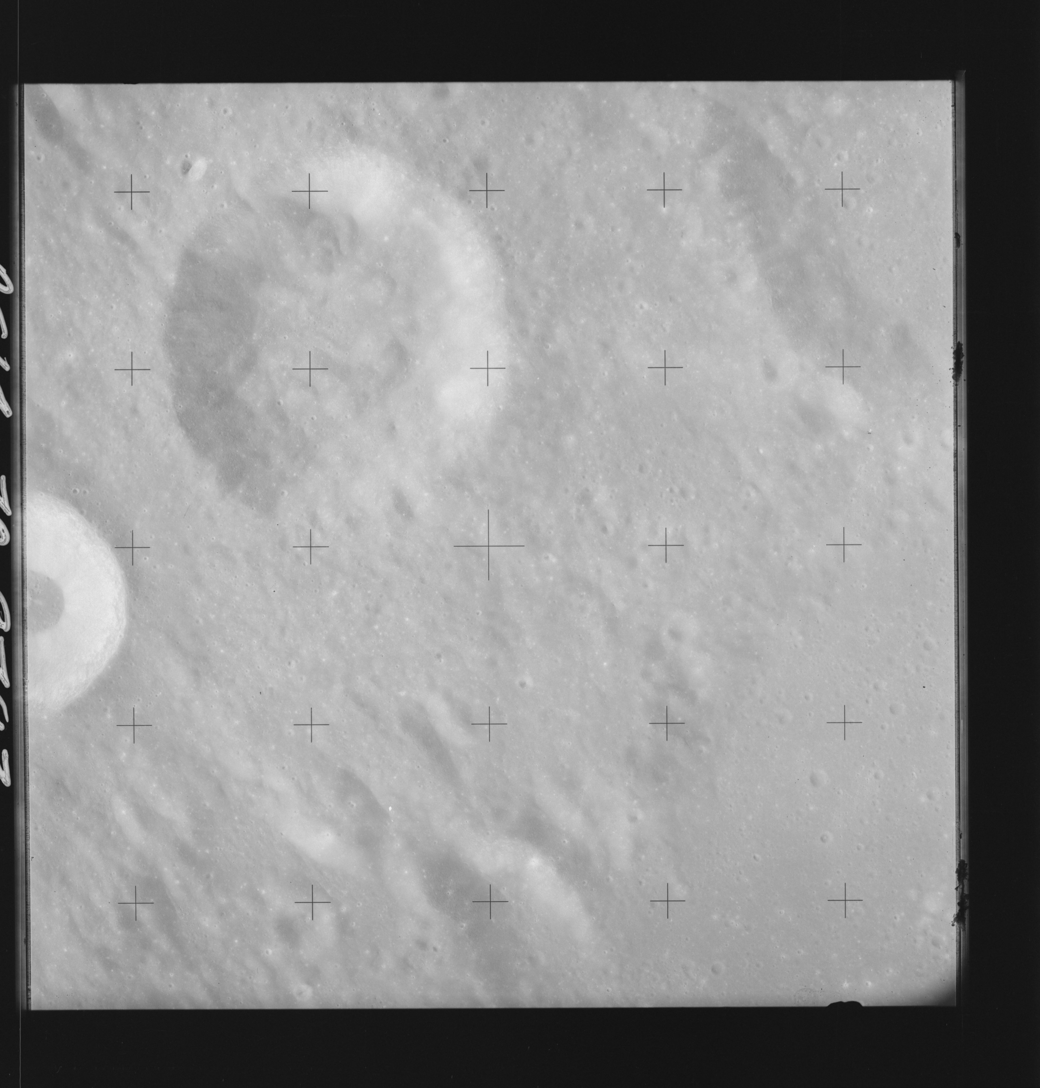 | AS14-70-9793 HIND, HIPPARCHUS C Image credit: National Archives and Records Administration |
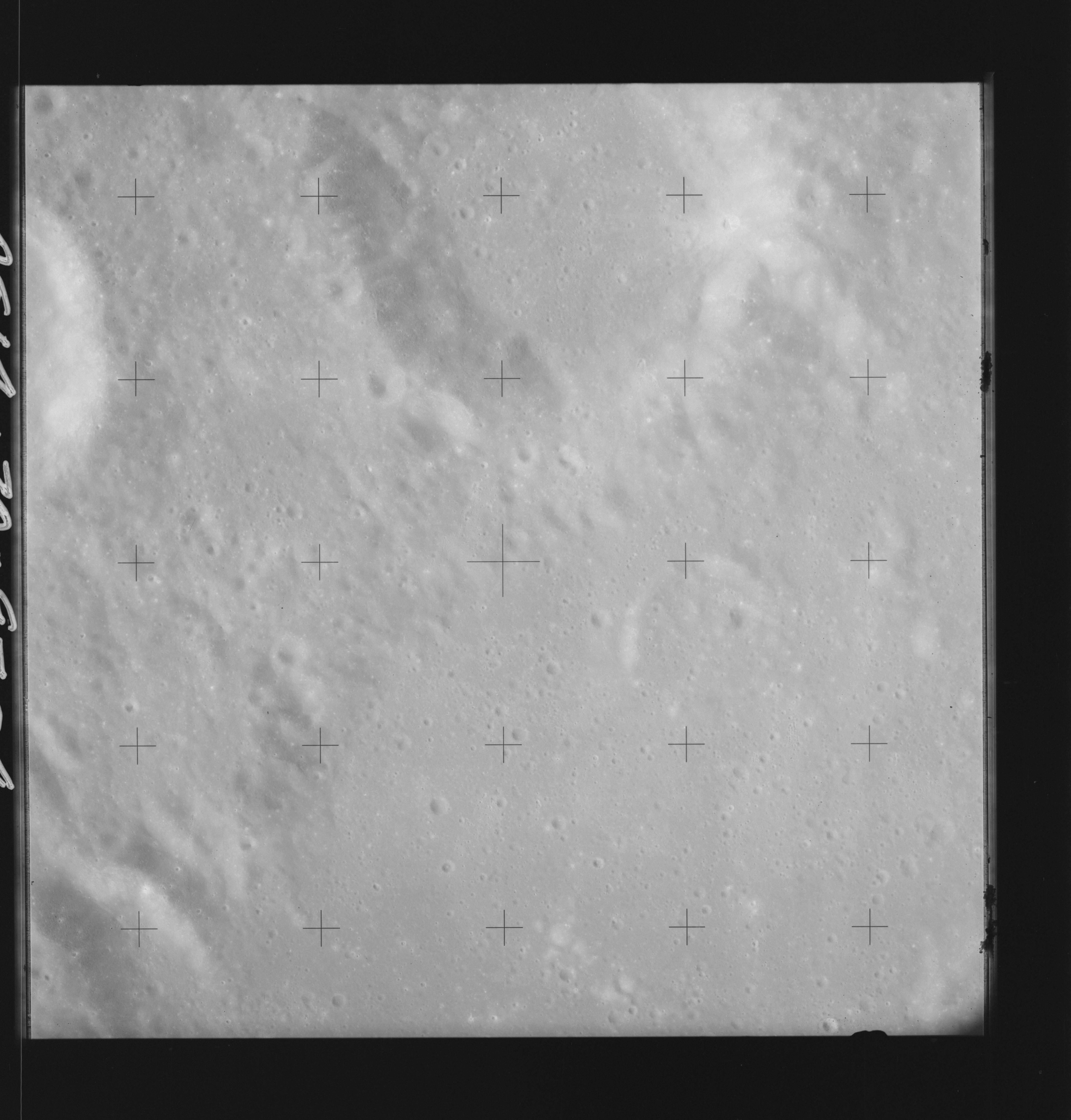 | AS14-70-9794 HALLEY, HIND Image credit: National Archives and Records Administration |
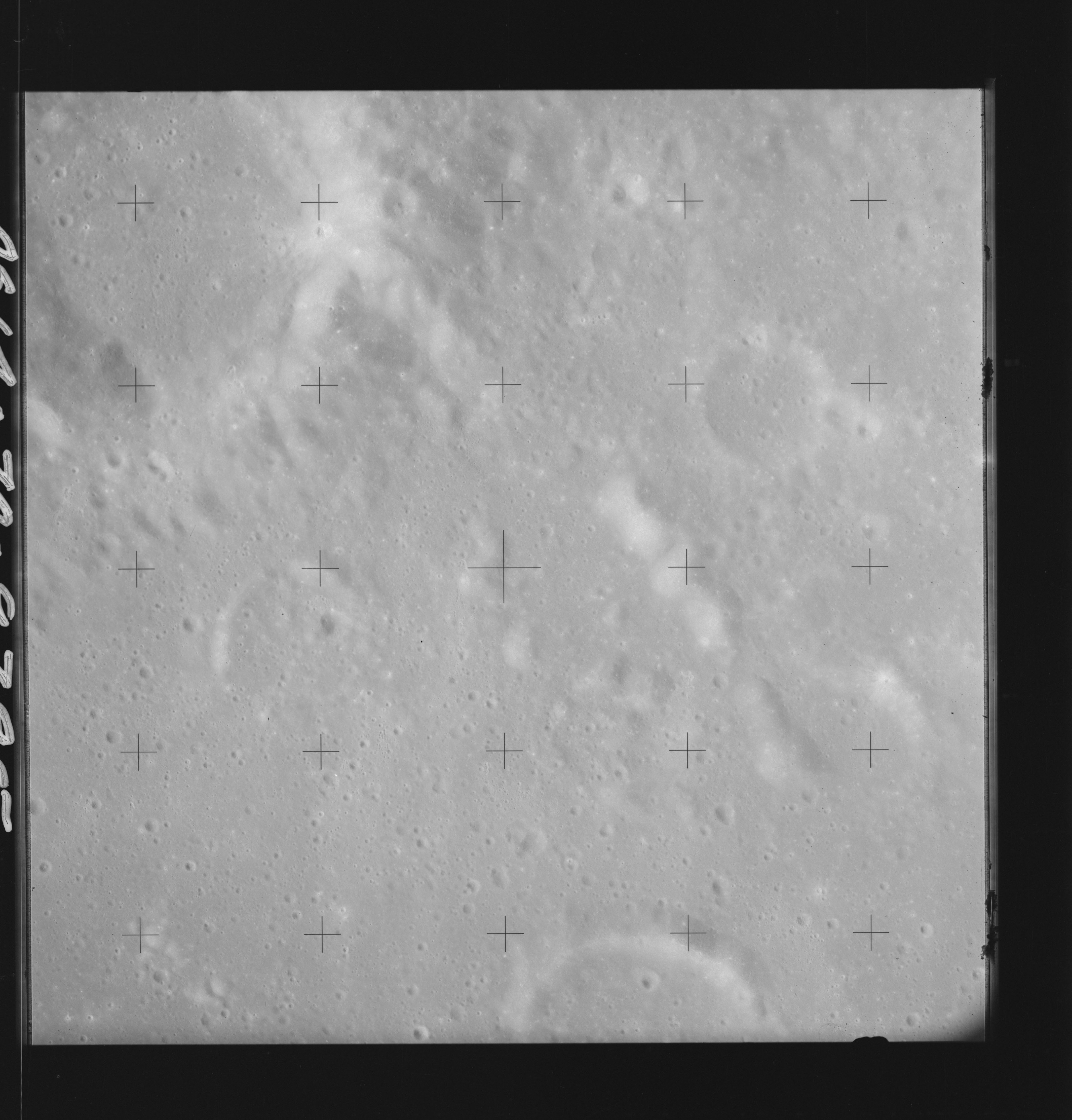 | AS14-70-9795 HALLEY, HIPPARCHUS Image credit: National Archives and Records Administration |
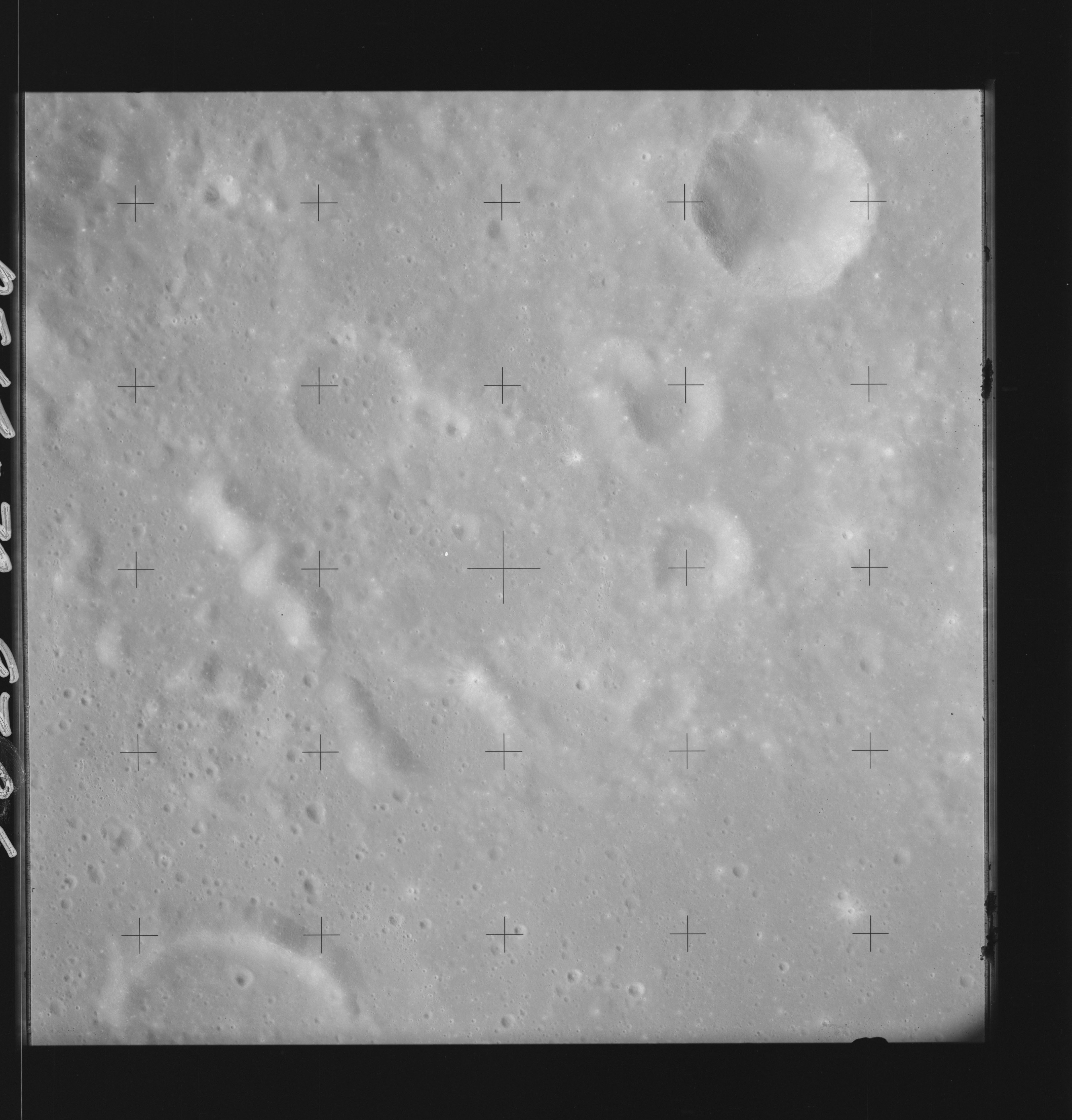 | AS14-70-9796 HIPPARCHUS, HIPPARCHUS J Image credit: National Archives and Records Administration |
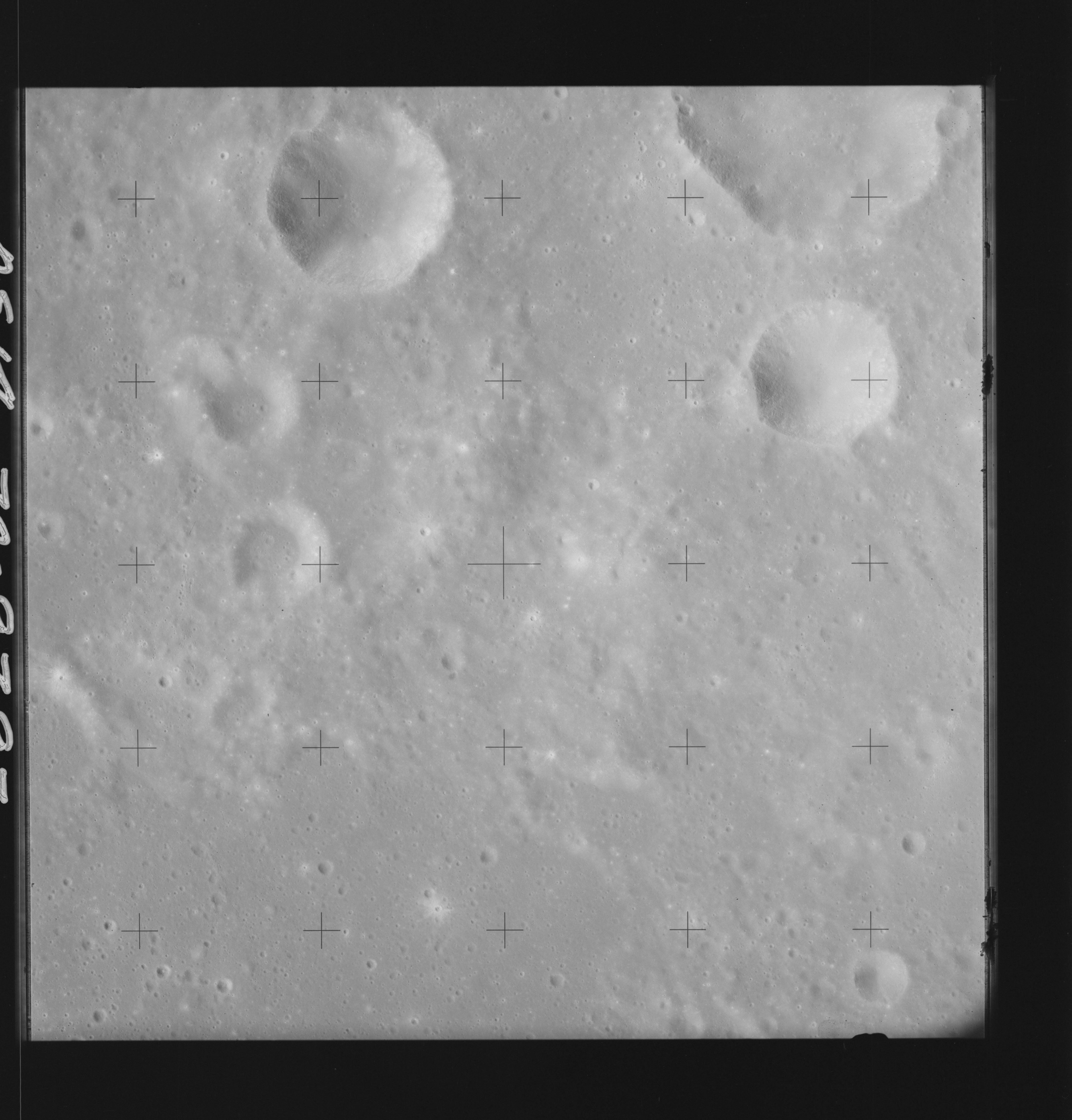 | AS14-70-9797 HIPPARCHUS J, MULLER Image credit: National Archives and Records Administration |
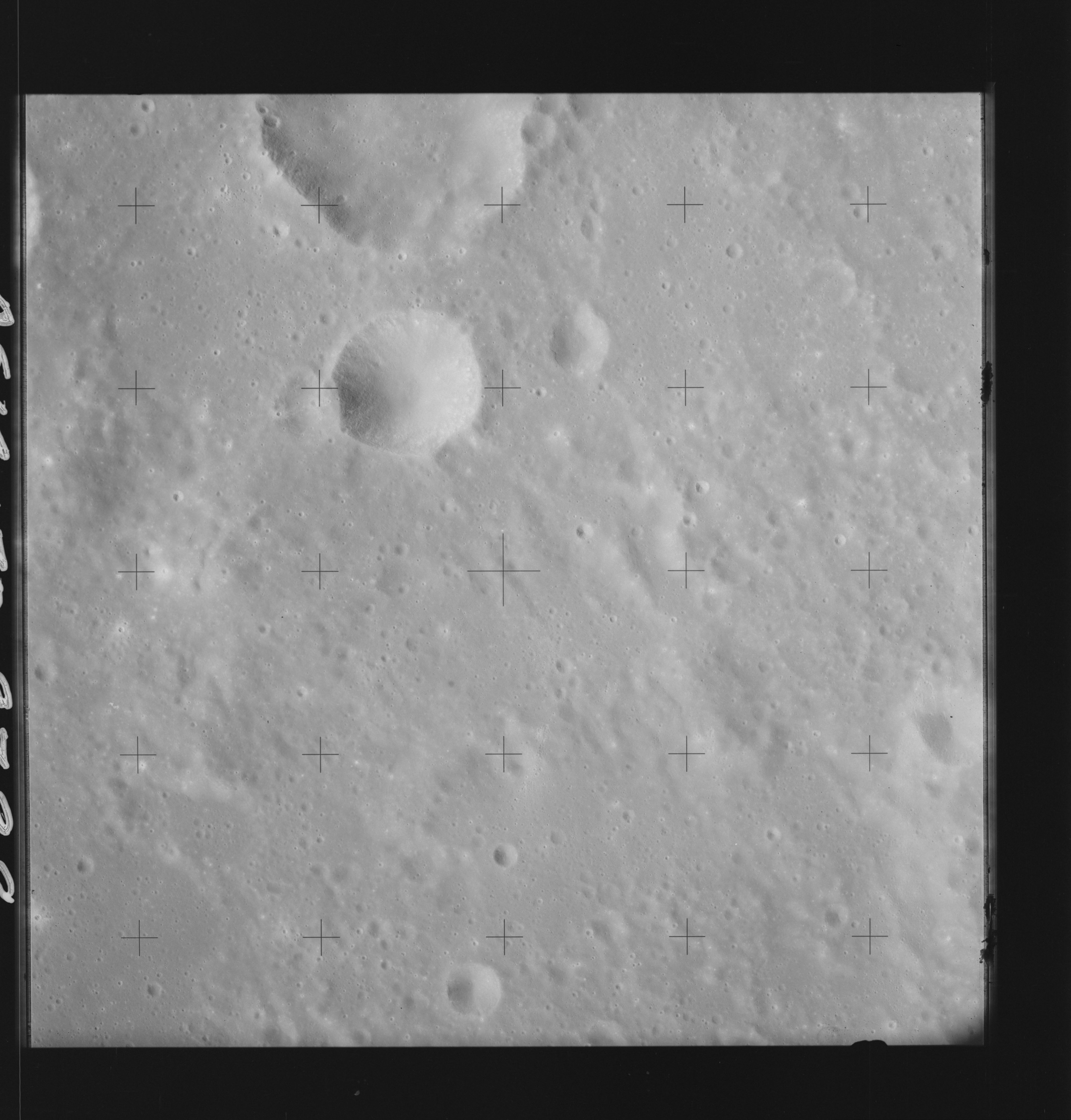 | AS14-70-9798 HIPPARCHUS J, MULLER Image credit: National Archives and Records Administration |
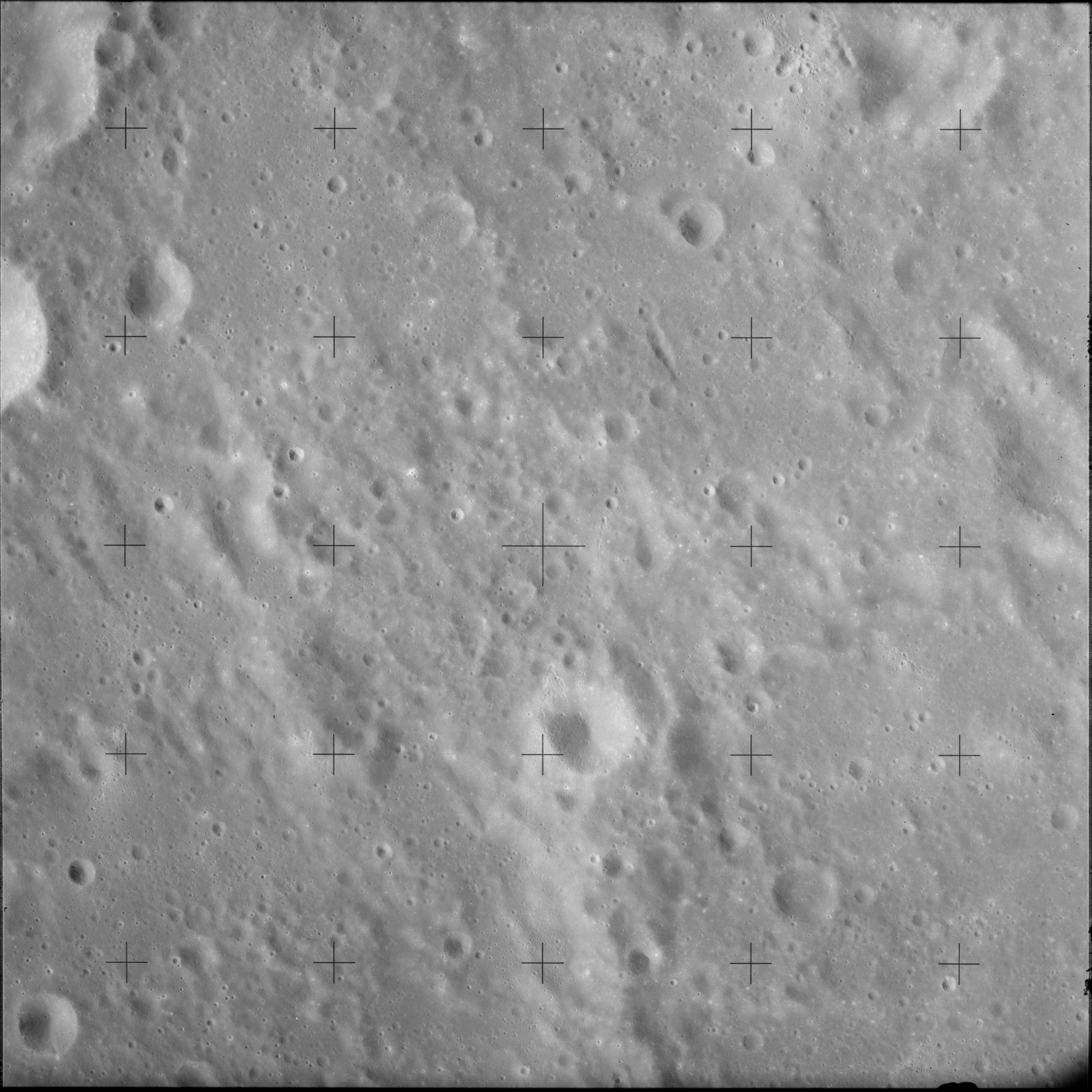 | AS14-70-9799 GLYDEN, MULLER Image credit: National Archives and Records Administration |
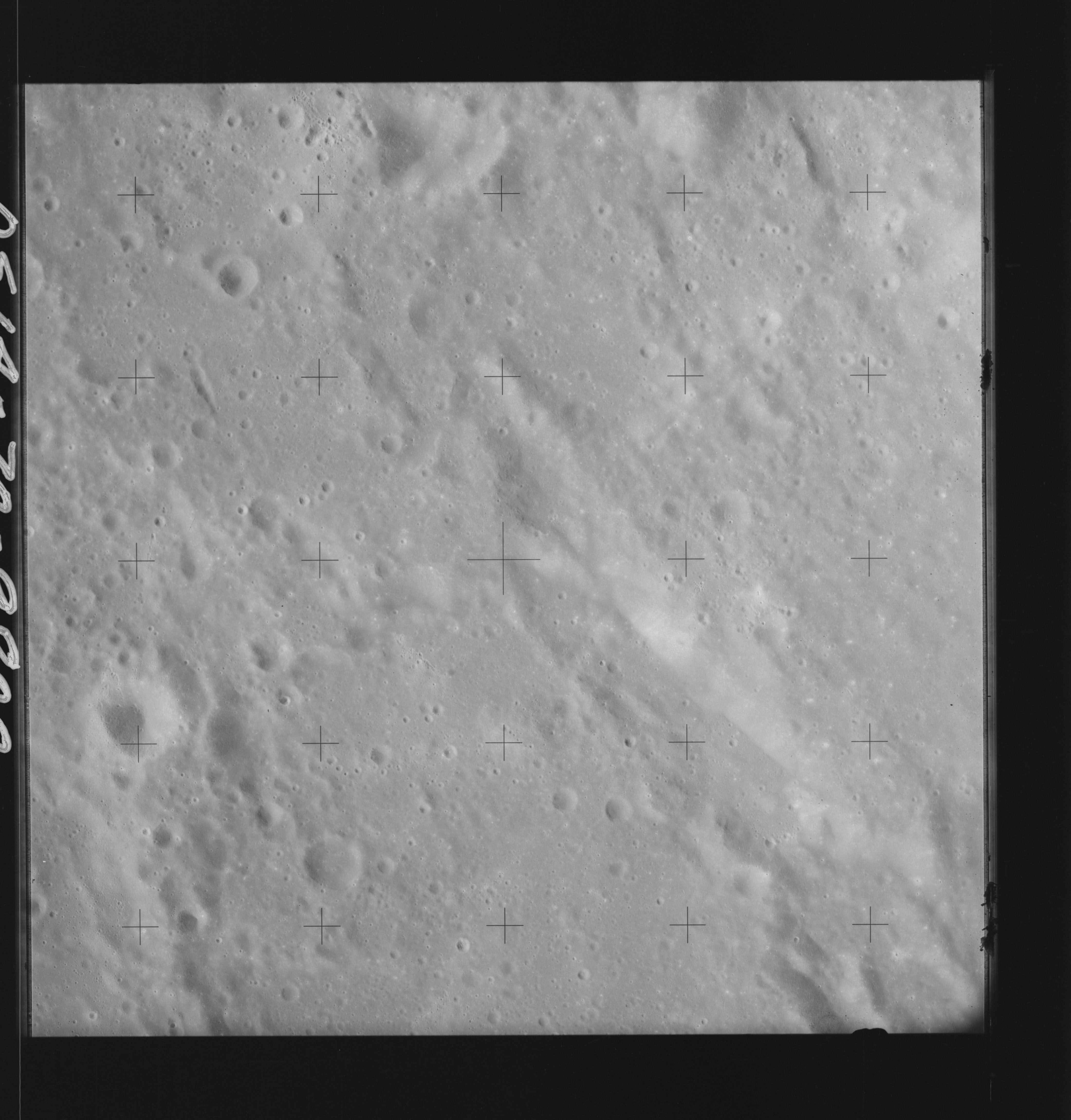 | AS14-70-9800 GLYDEN, HERSCHEL Image credit: National Archives and Records Administration |
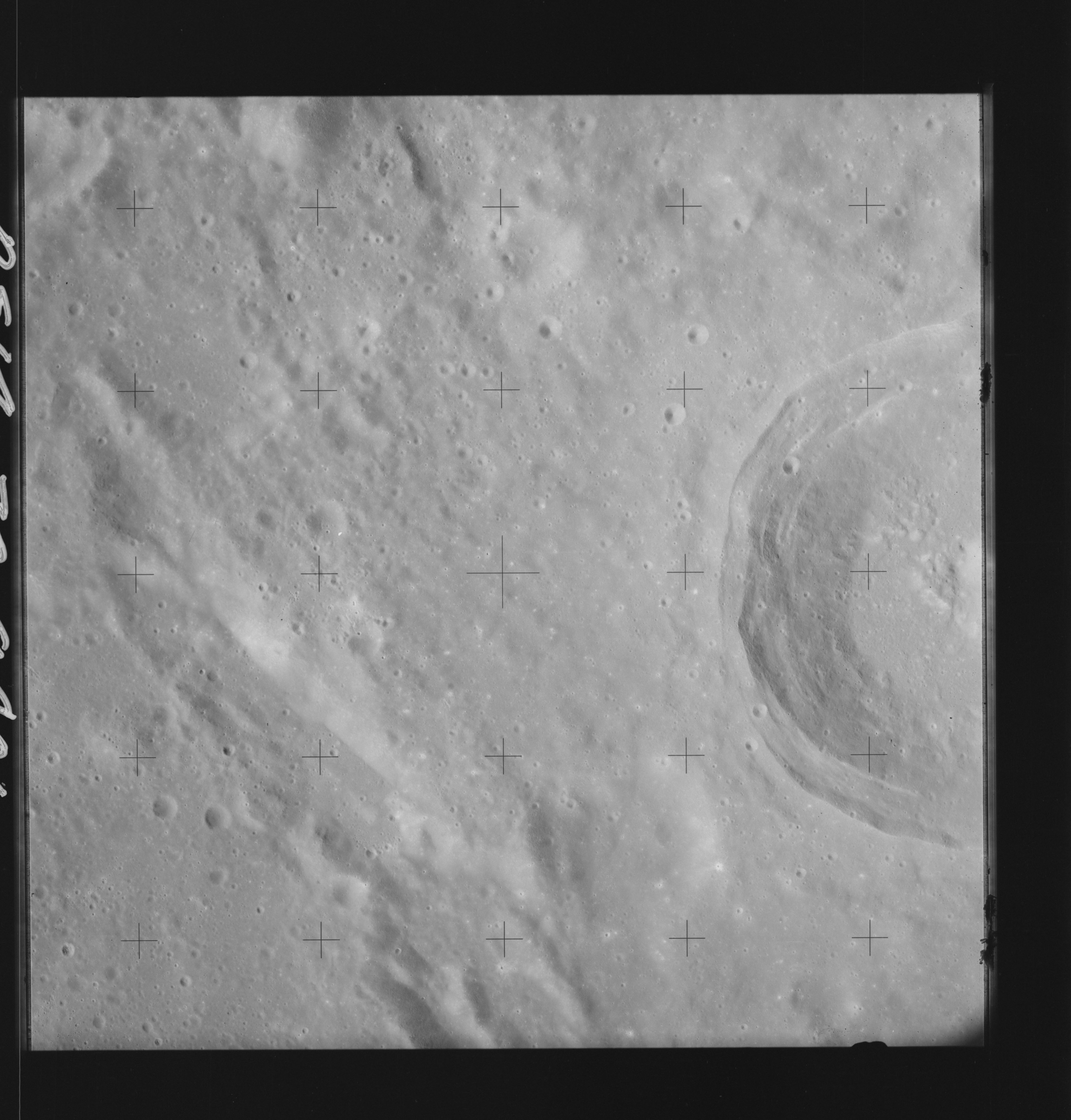 | AS14-70-9801 GLYDEN, HERSCHEL Image credit: National Archives and Records Administration |
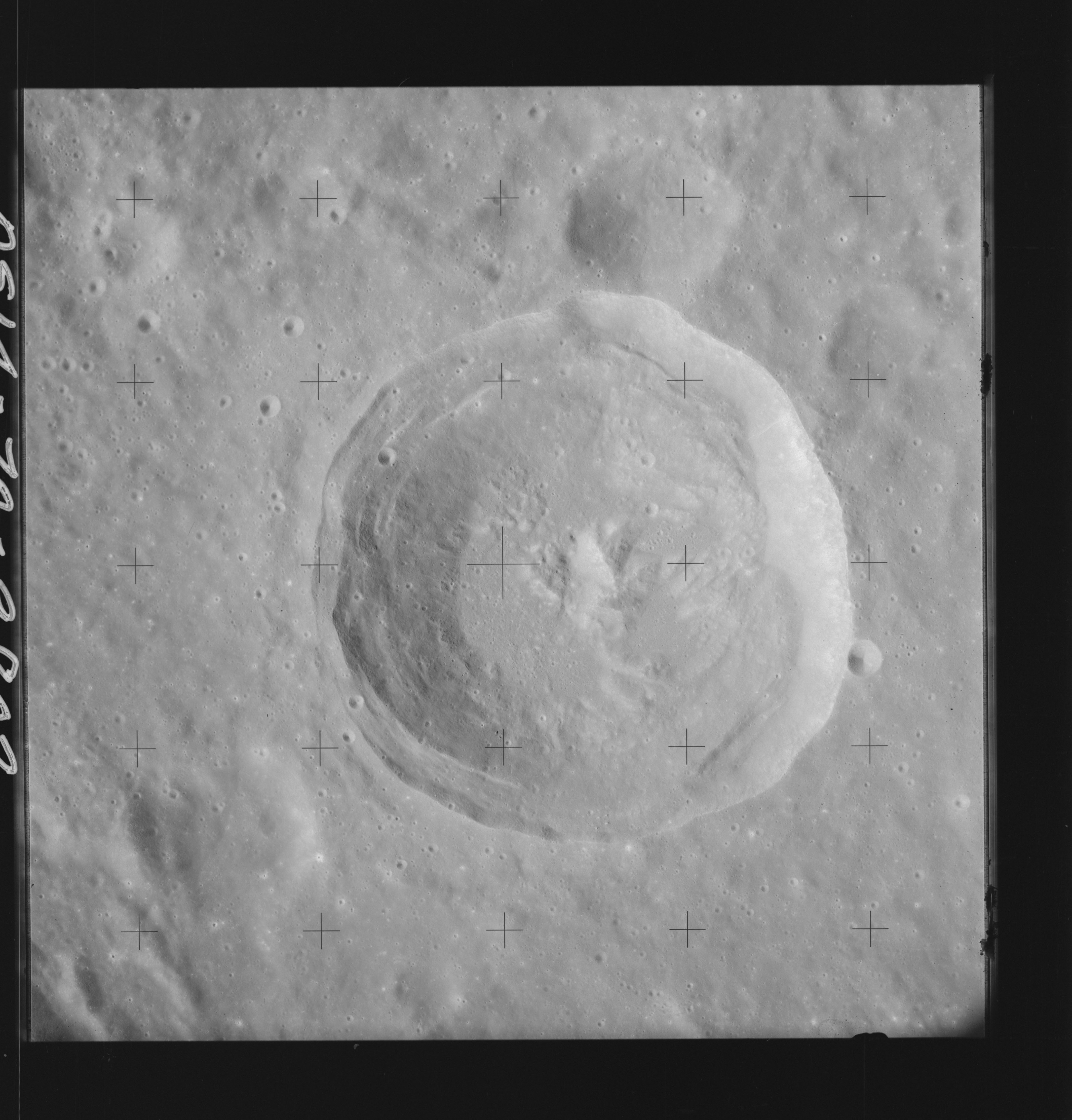 | AS14-70-9802 HERSCHEL, SPORER Image credit: National Archives and Records Administration |
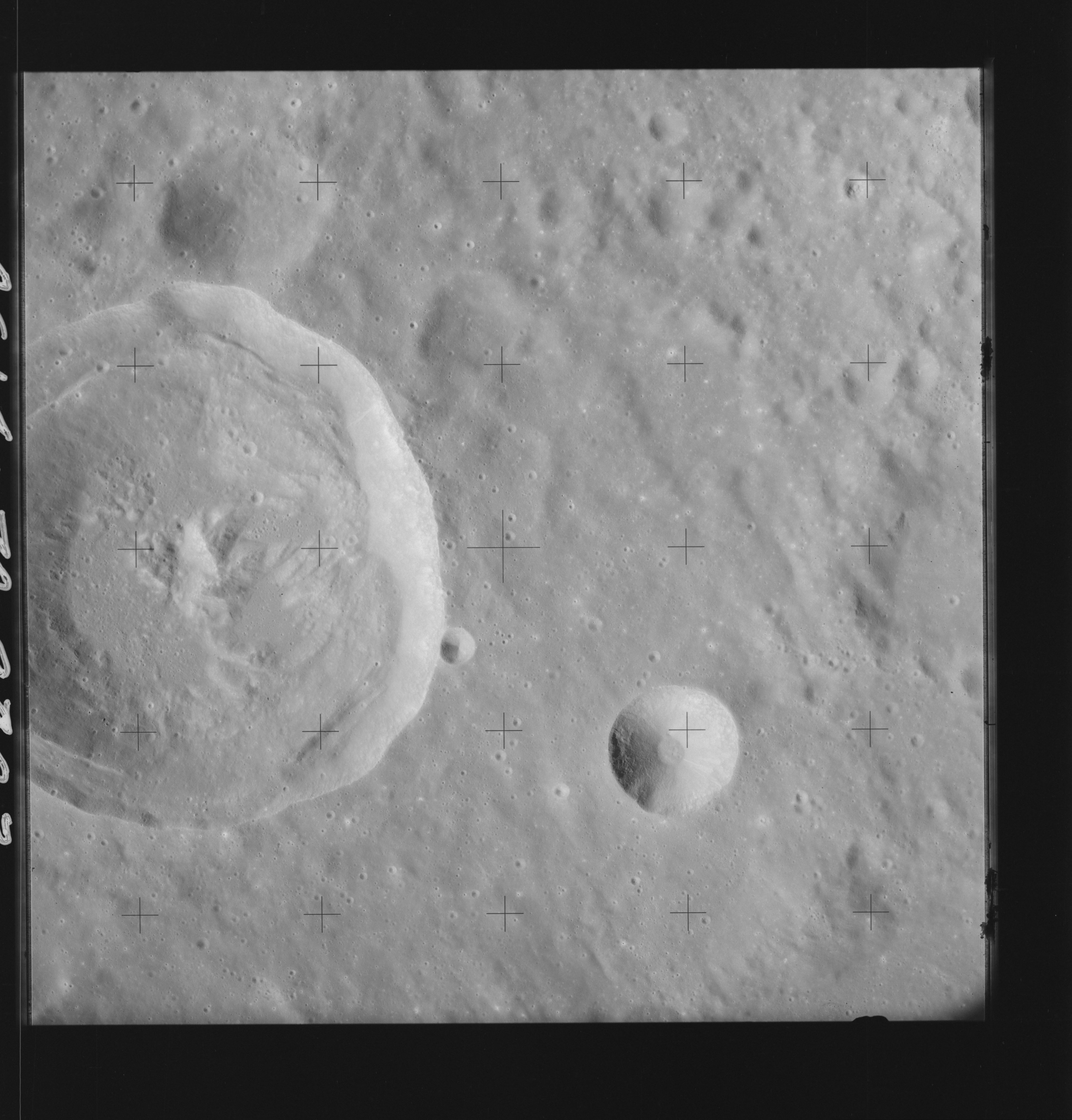 | AS14-70-9803 HERSCHEL, SPORER Image credit: National Archives and Records Administration |
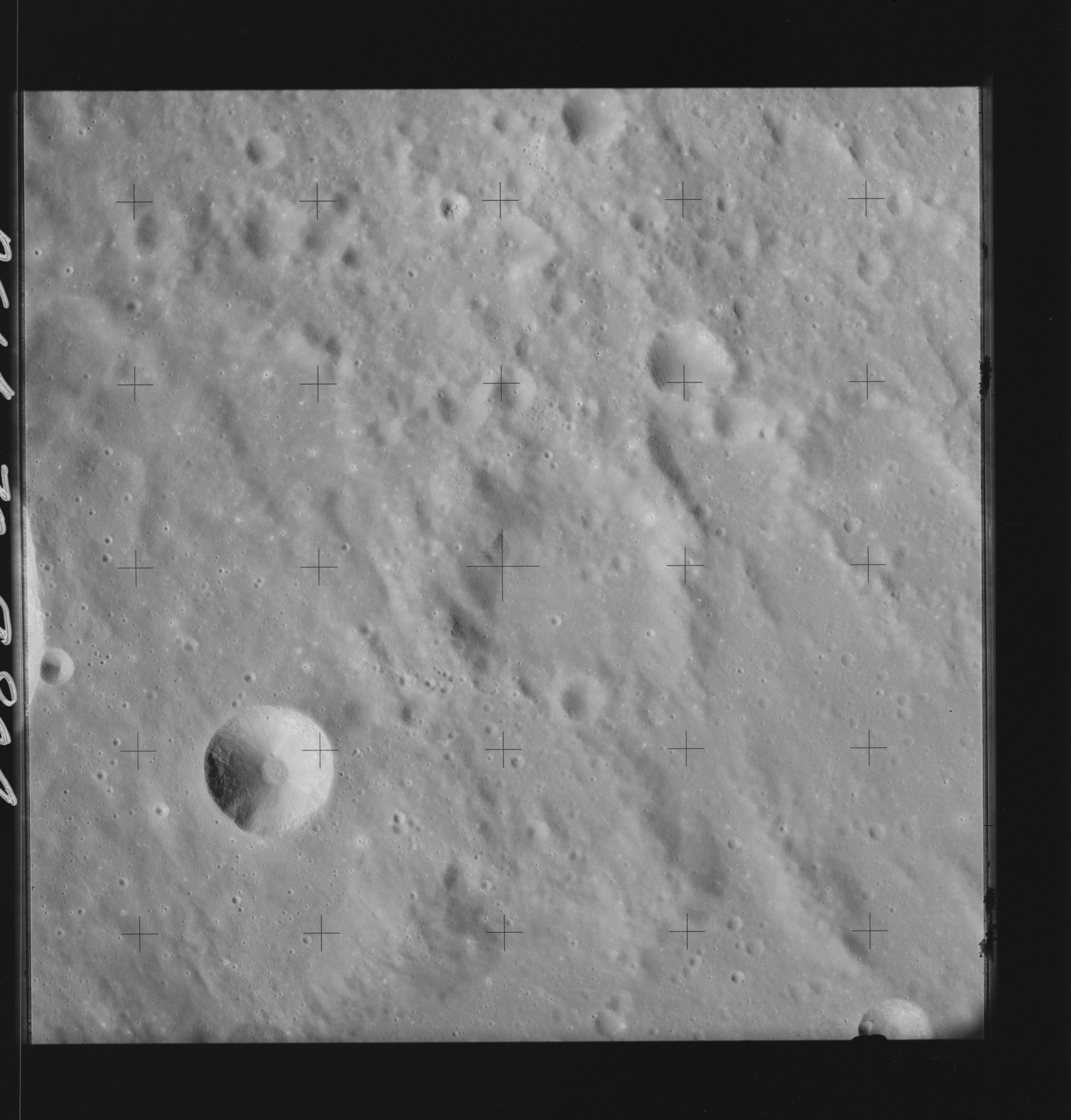 | AS14-70-9804 FLAMMARION, HERSCHEL C Image credit: National Archives and Records Administration |
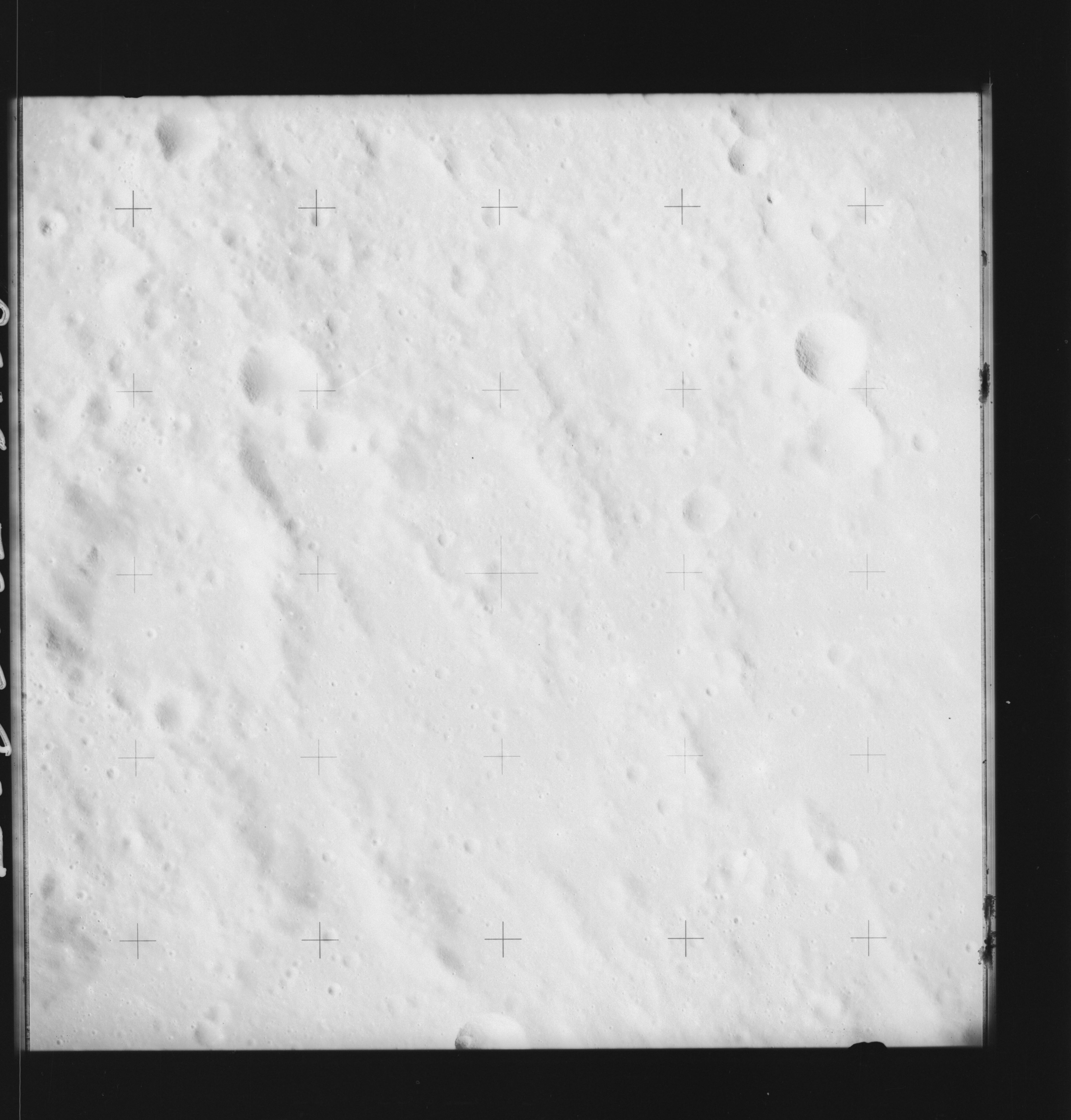 | AS14-70-9805 FLAMMARION, HERSCHEL D Image credit: National Archives and Records Administration |
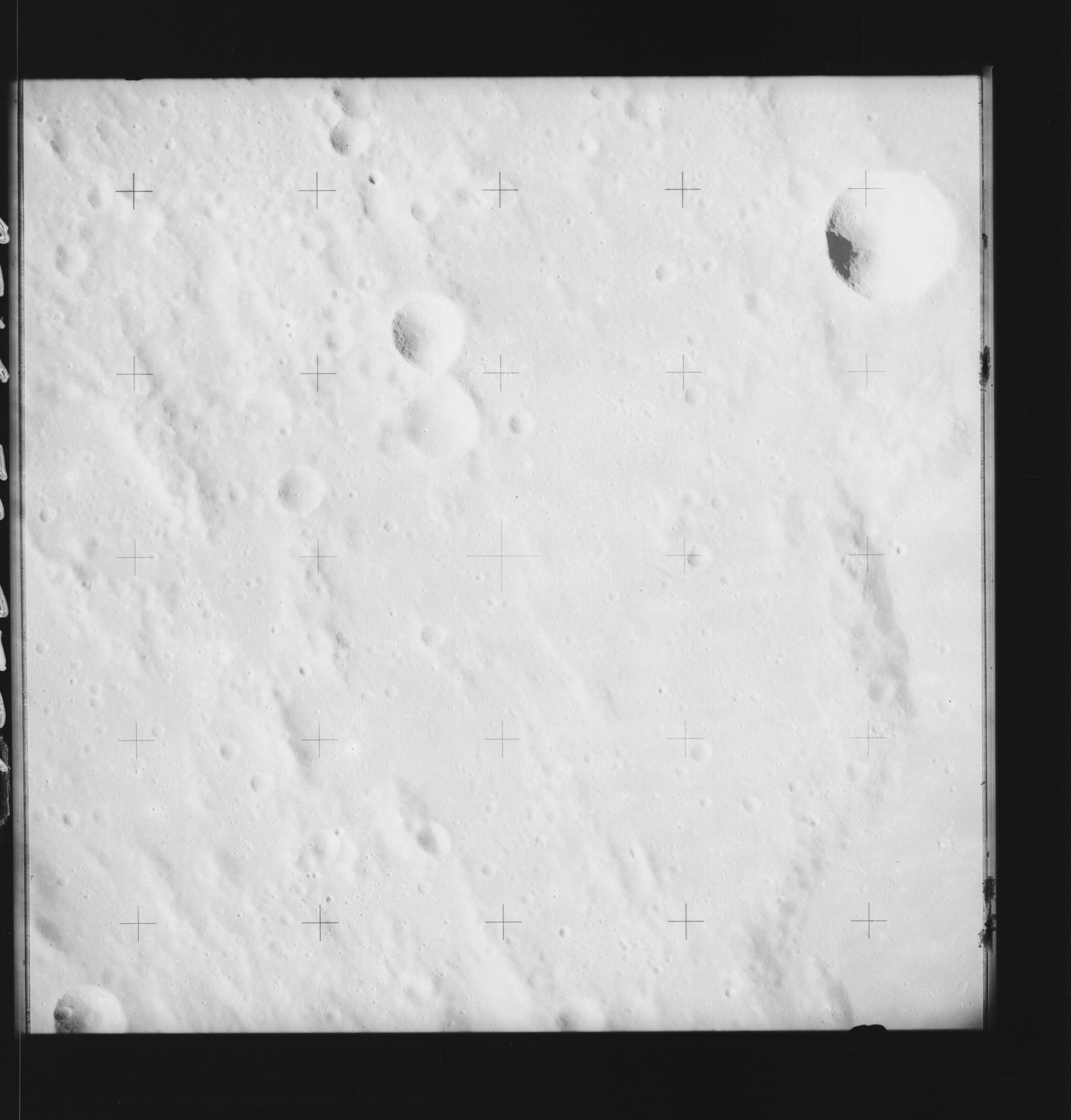 | AS14-70-9806 LALANDE C, LALANDE R Image credit: National Archives and Records Administration |
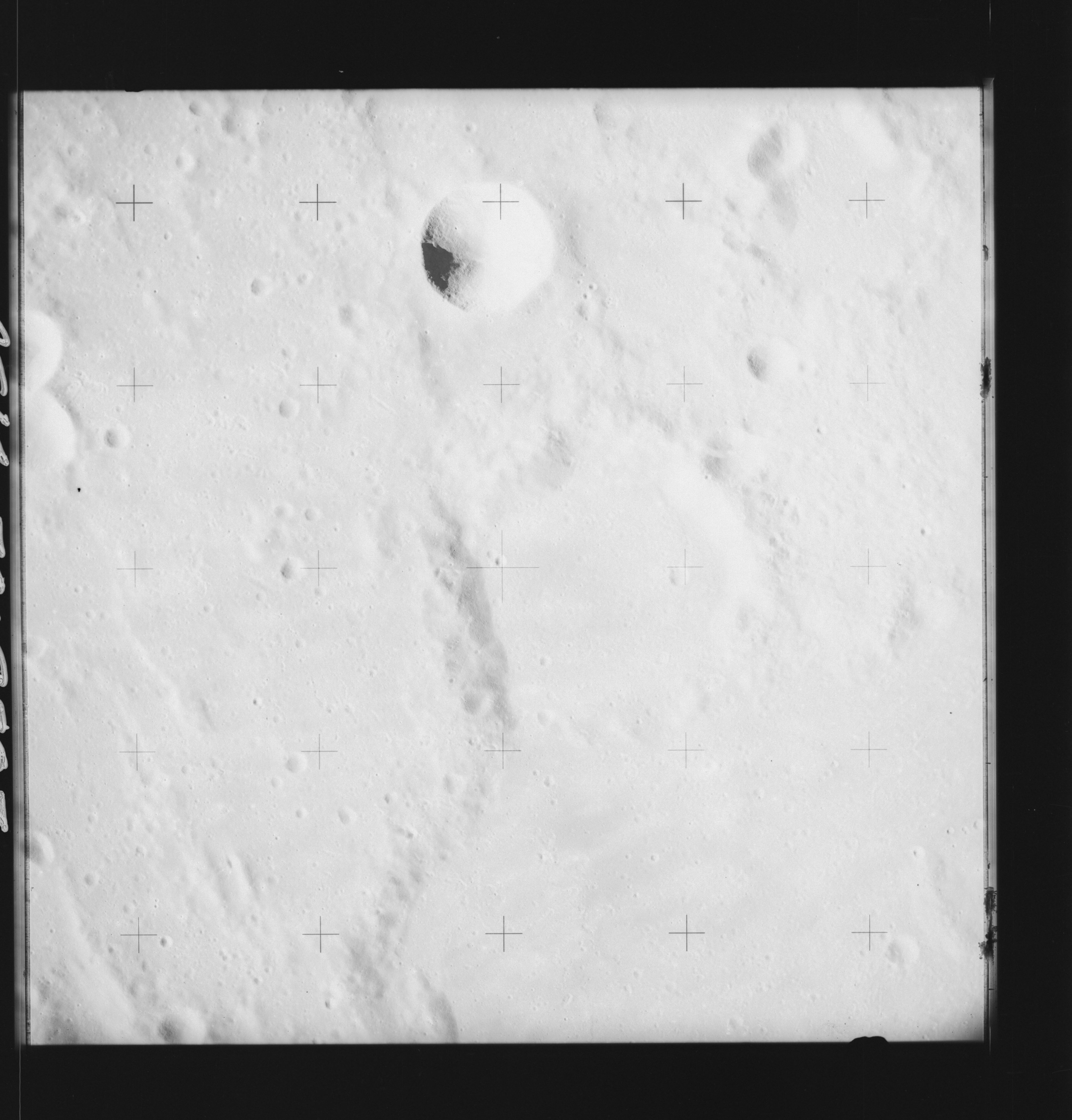 | AS14-70-9807 LALANDE C, LALANDE R Image credit: National Archives and Records Administration |
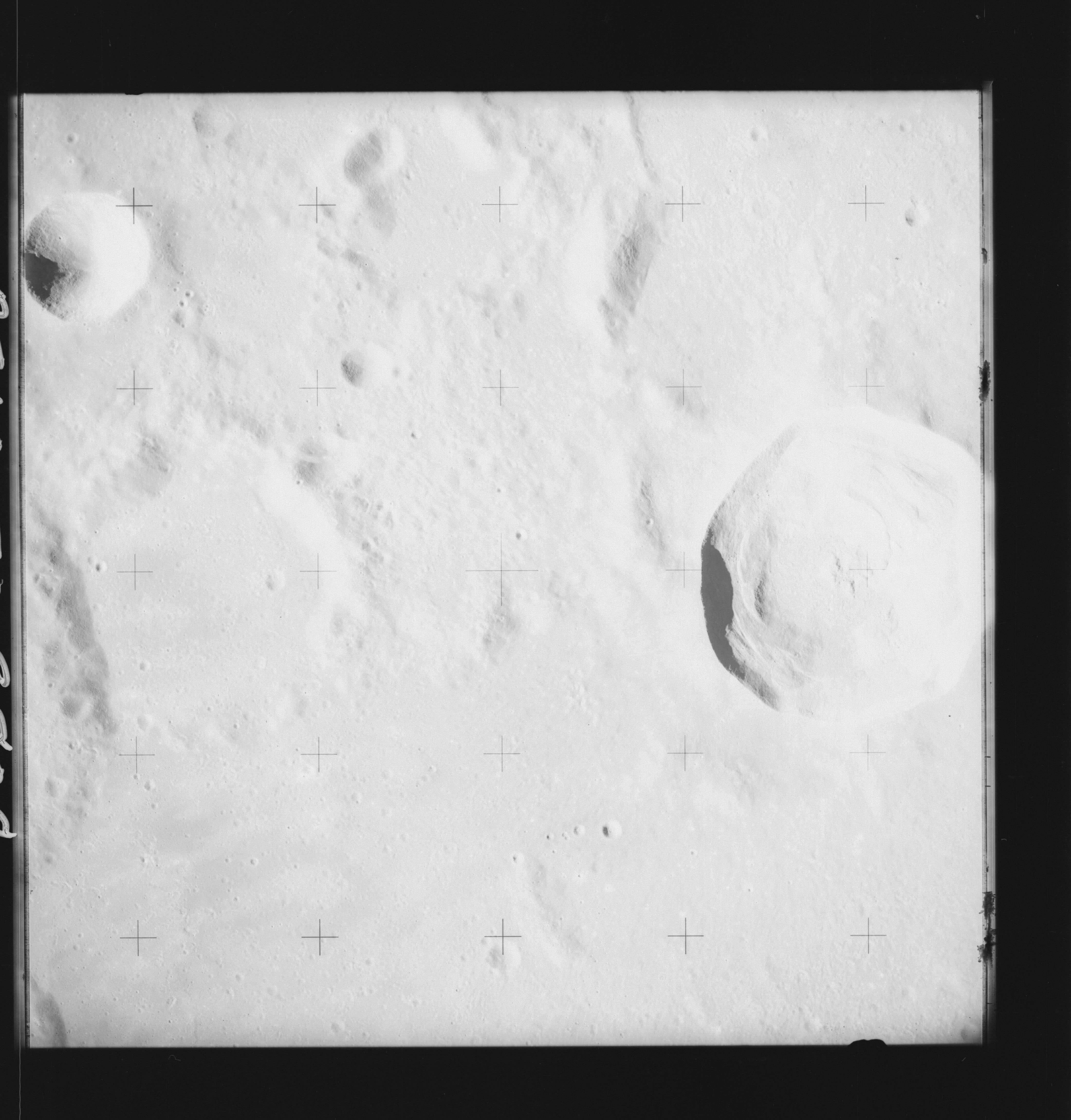 | AS14-70-9808 LALANDE, LALANDE C Image credit: National Archives and Records Administration |
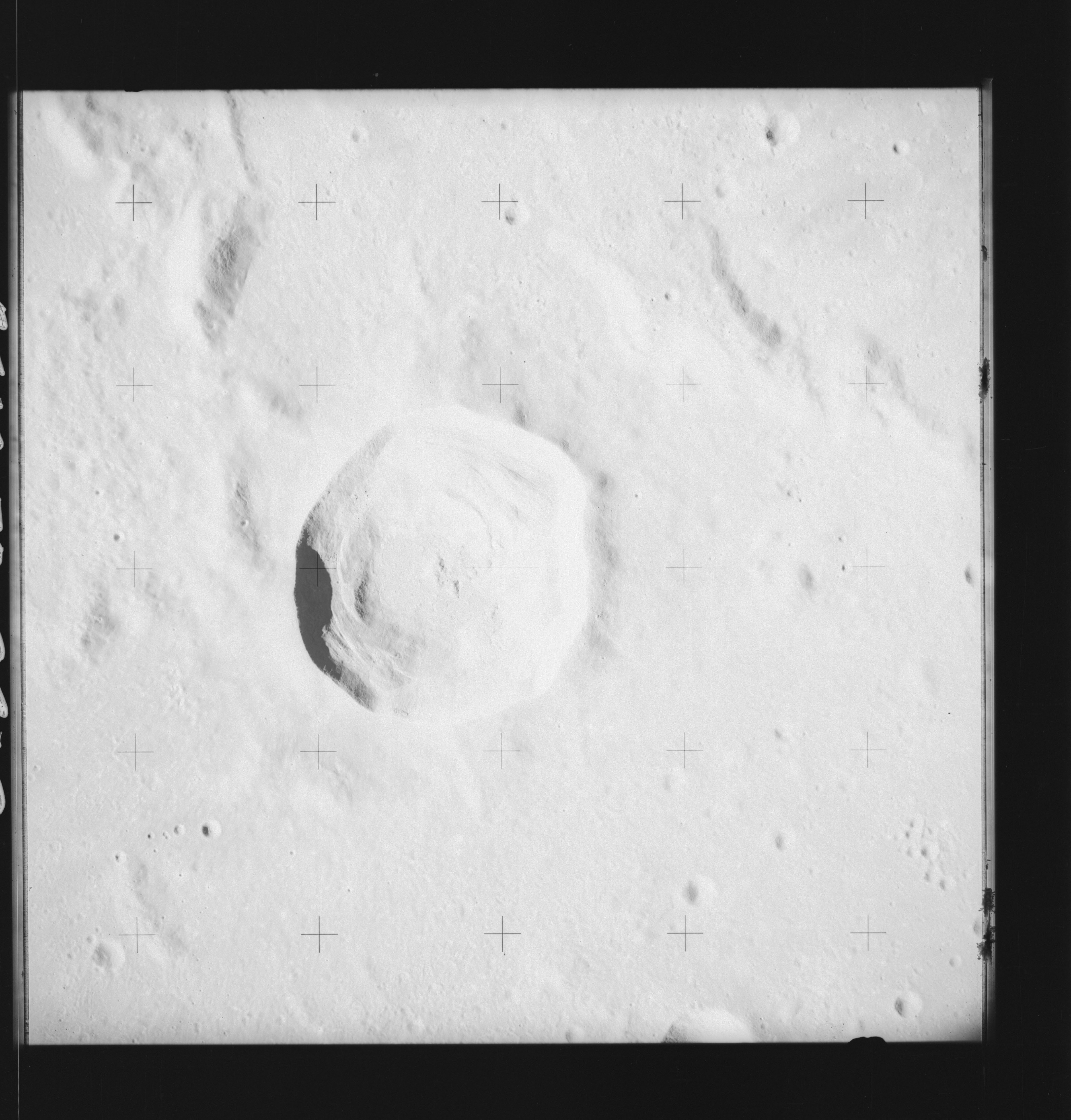 | AS14-70-9809 LALANDE Image credit: National Archives and Records Administration |
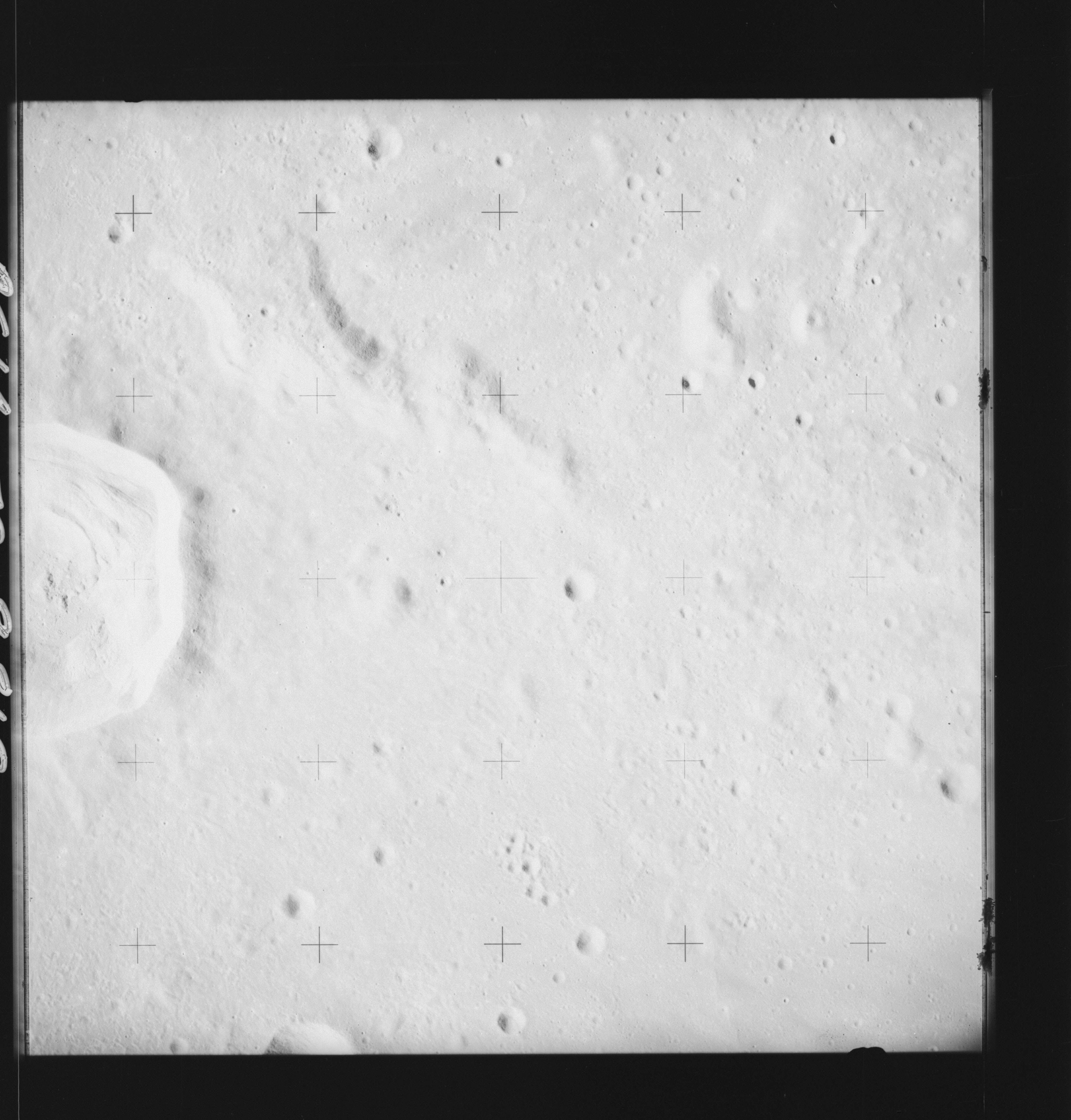 | AS14-70-9810 LALANDE Image credit: National Archives and Records Administration |
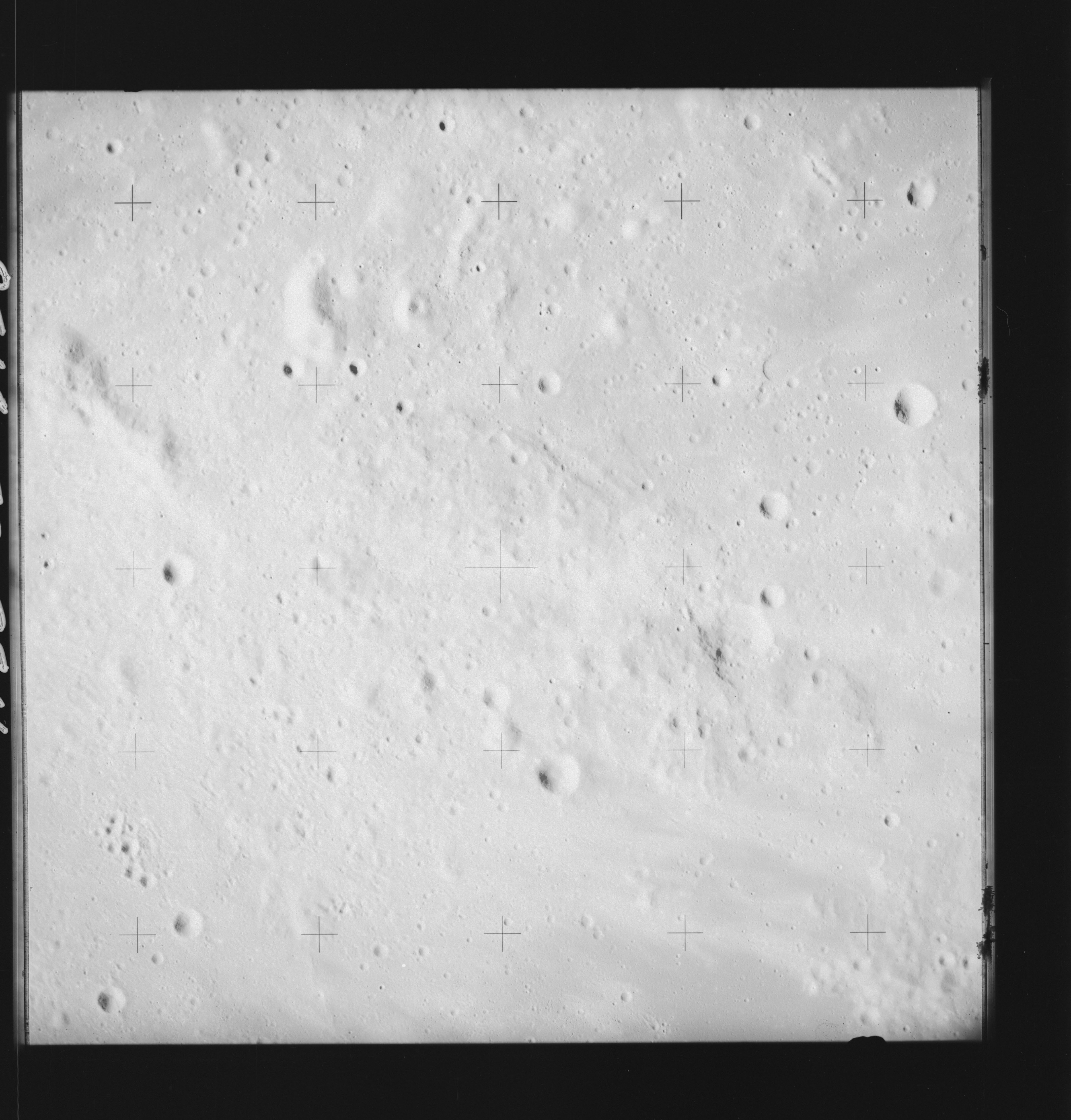 | AS14-70-9811 LALANDE DELTA Image credit: National Archives and Records Administration |
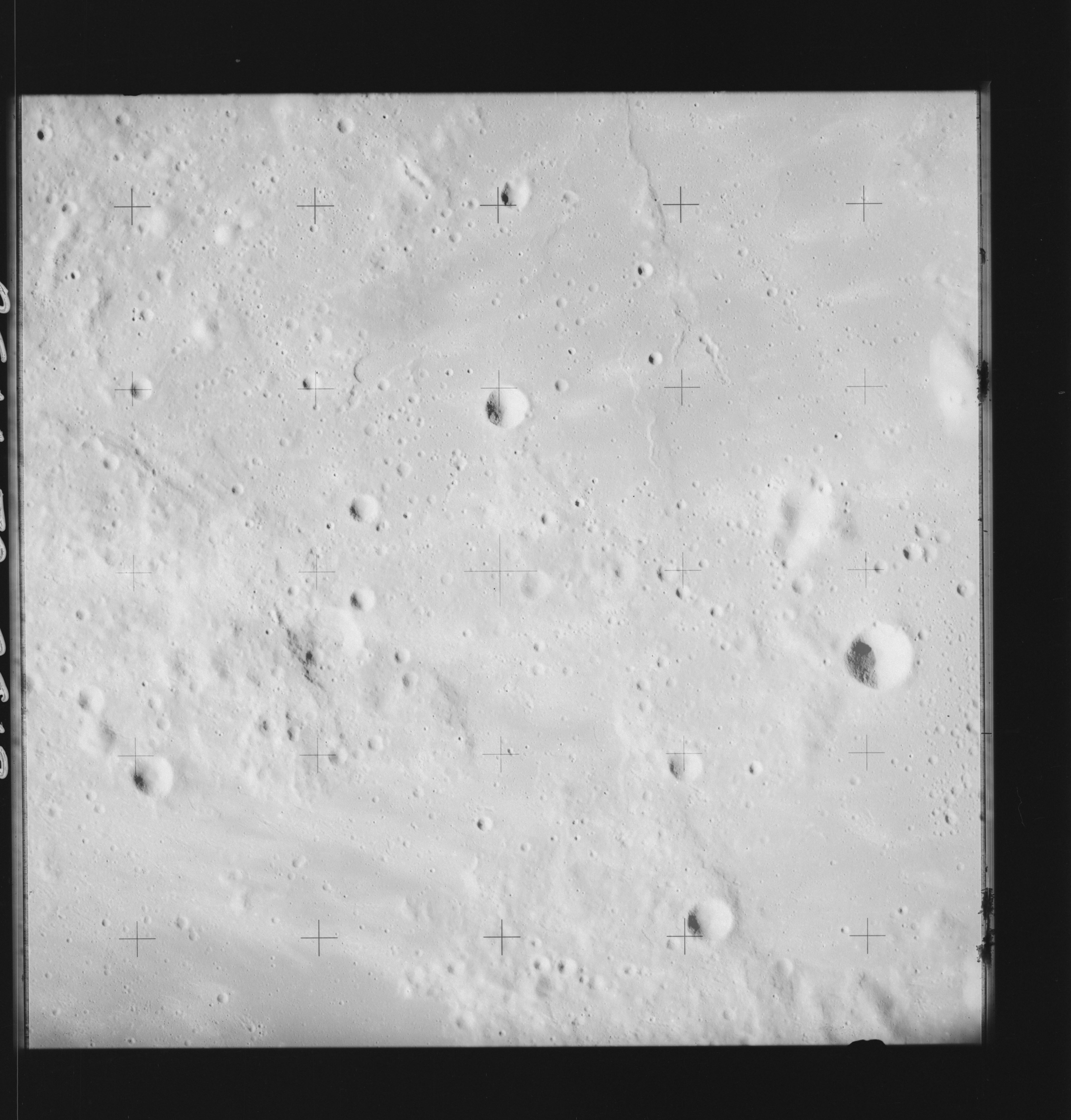 | AS14-70-9812 LALANDE E Image credit: National Archives and Records Administration |
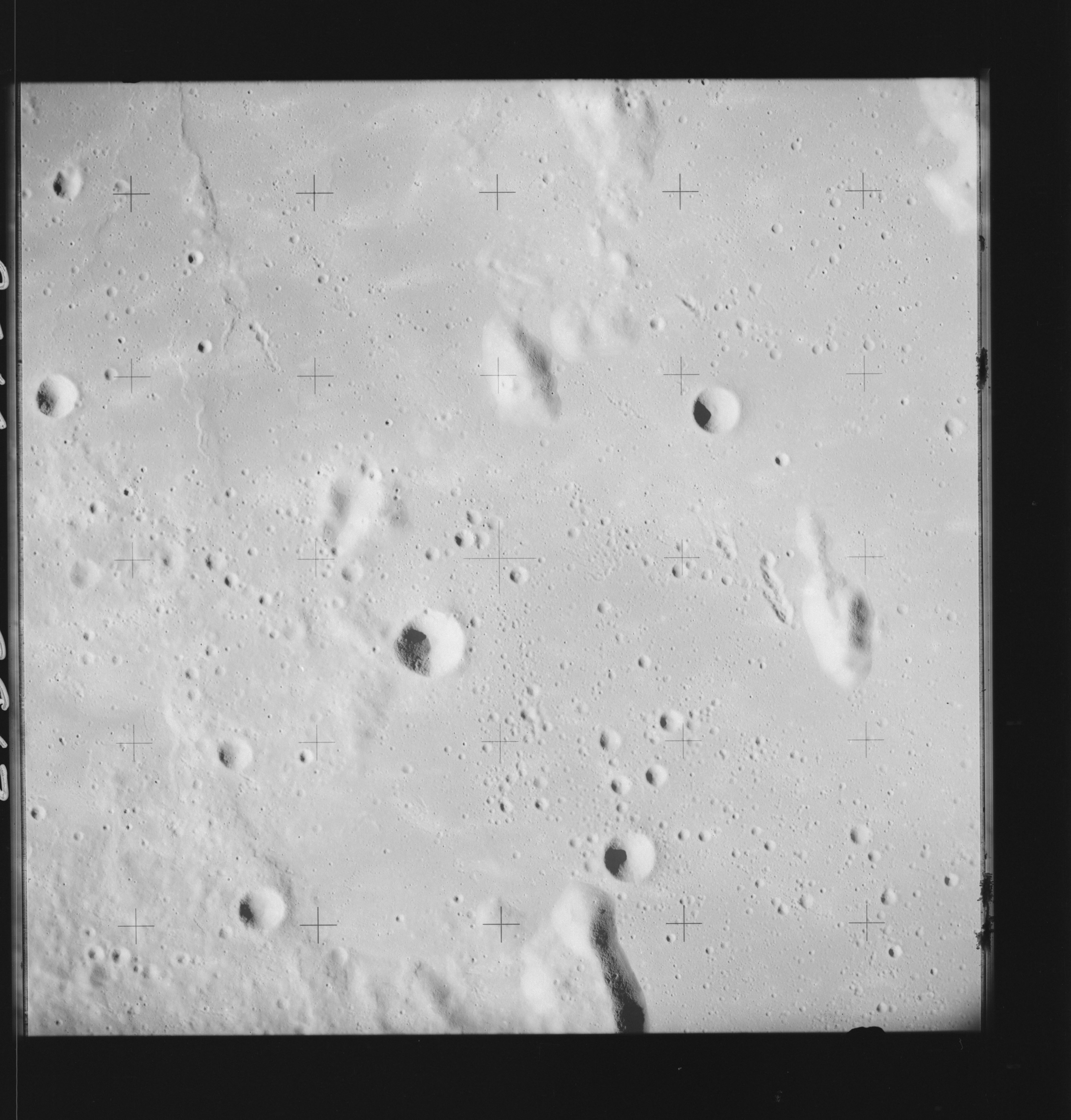 | AS14-70-9813 TURNER L Image credit: National Archives and Records Administration |
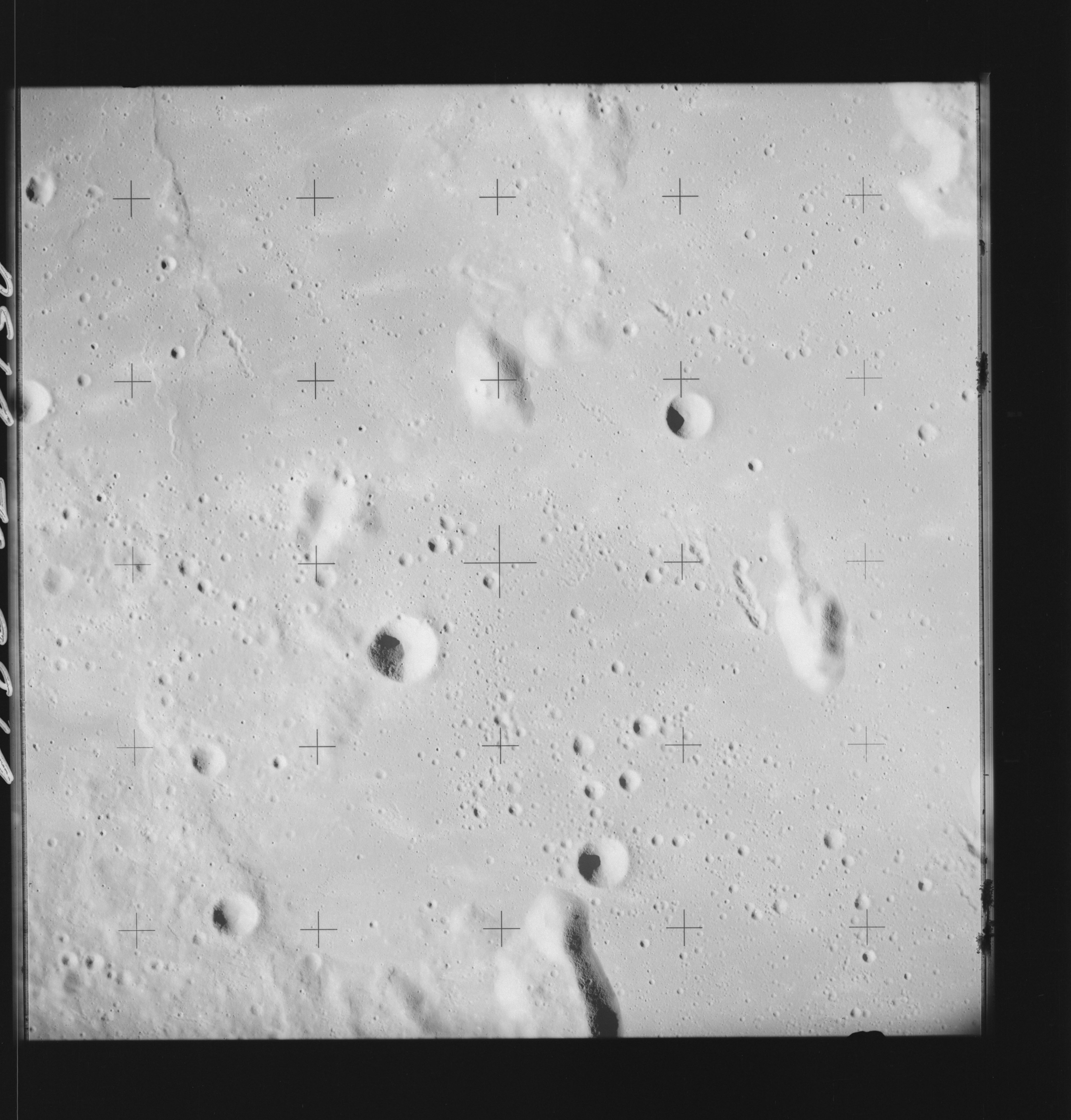 | AS14-70-9814 FRA MAURO DELTA, FRA MAURO R Image credit: National Archives and Records Administration |
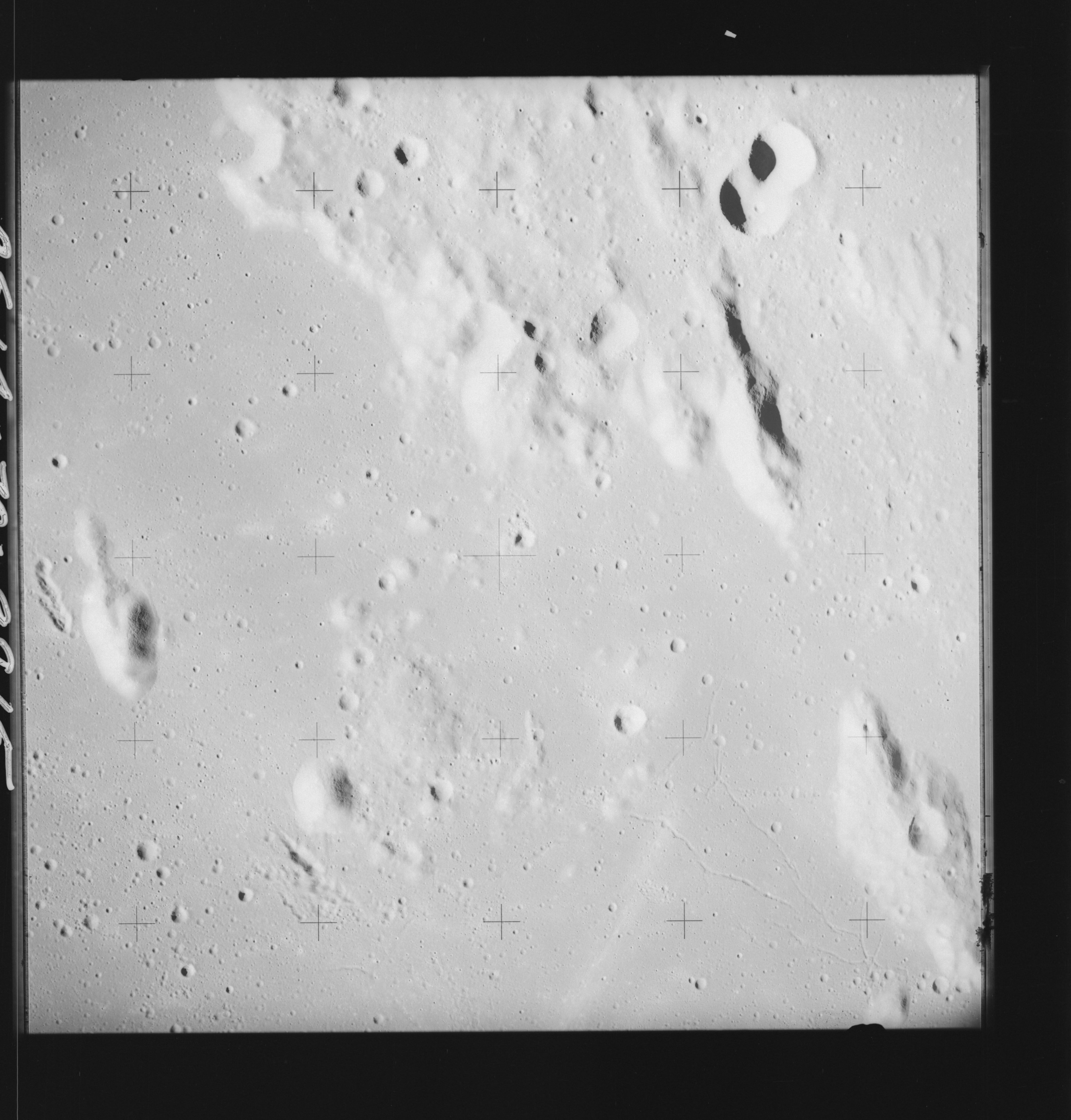 | AS14-70-9815 FRA MAURO DELTA, FRA MAURO R Image credit: National Archives and Records Administration |
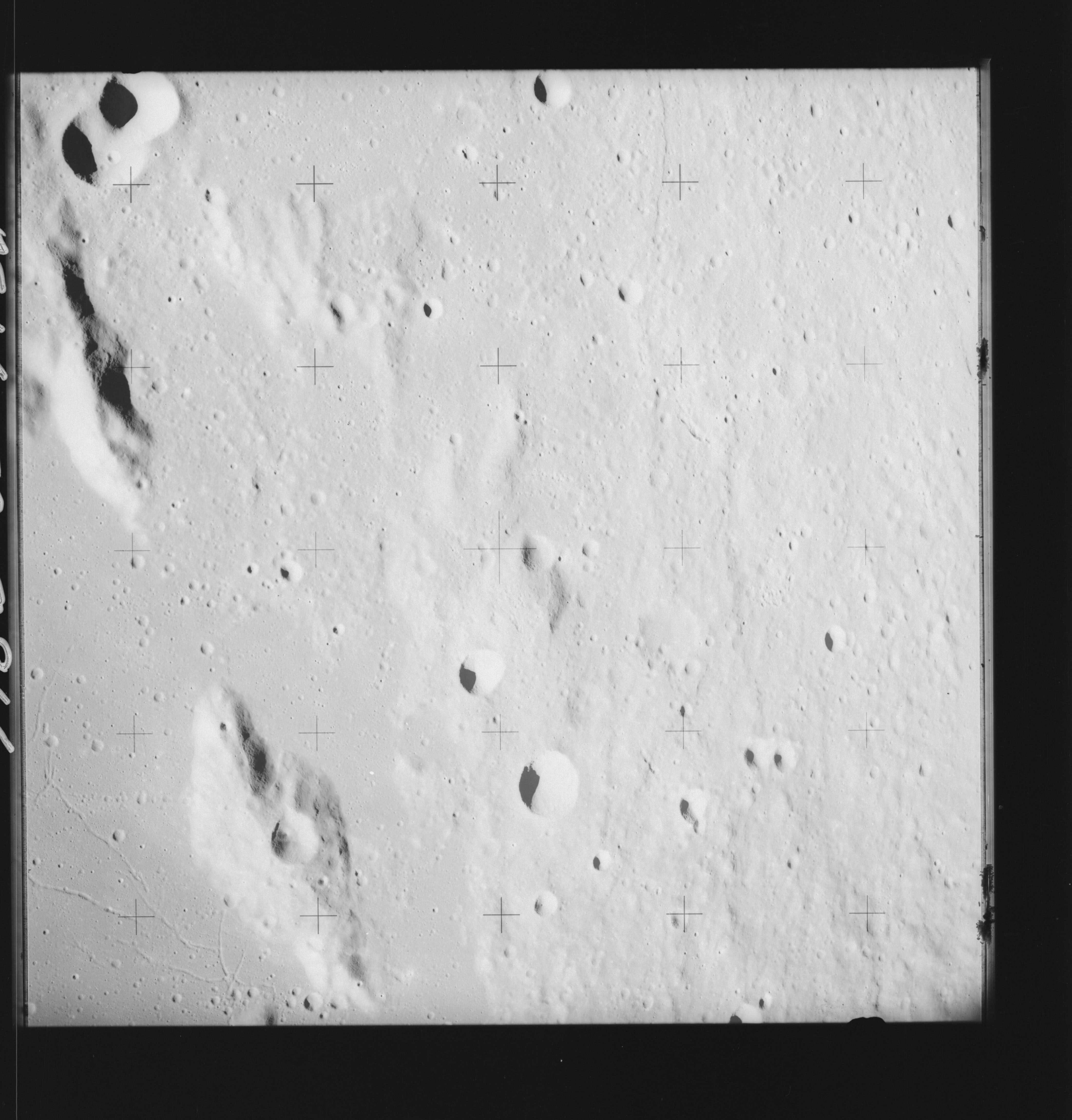 | AS14-70-9816 FRA MAURO G, FRA MAURO R Image credit: National Archives and Records Administration |
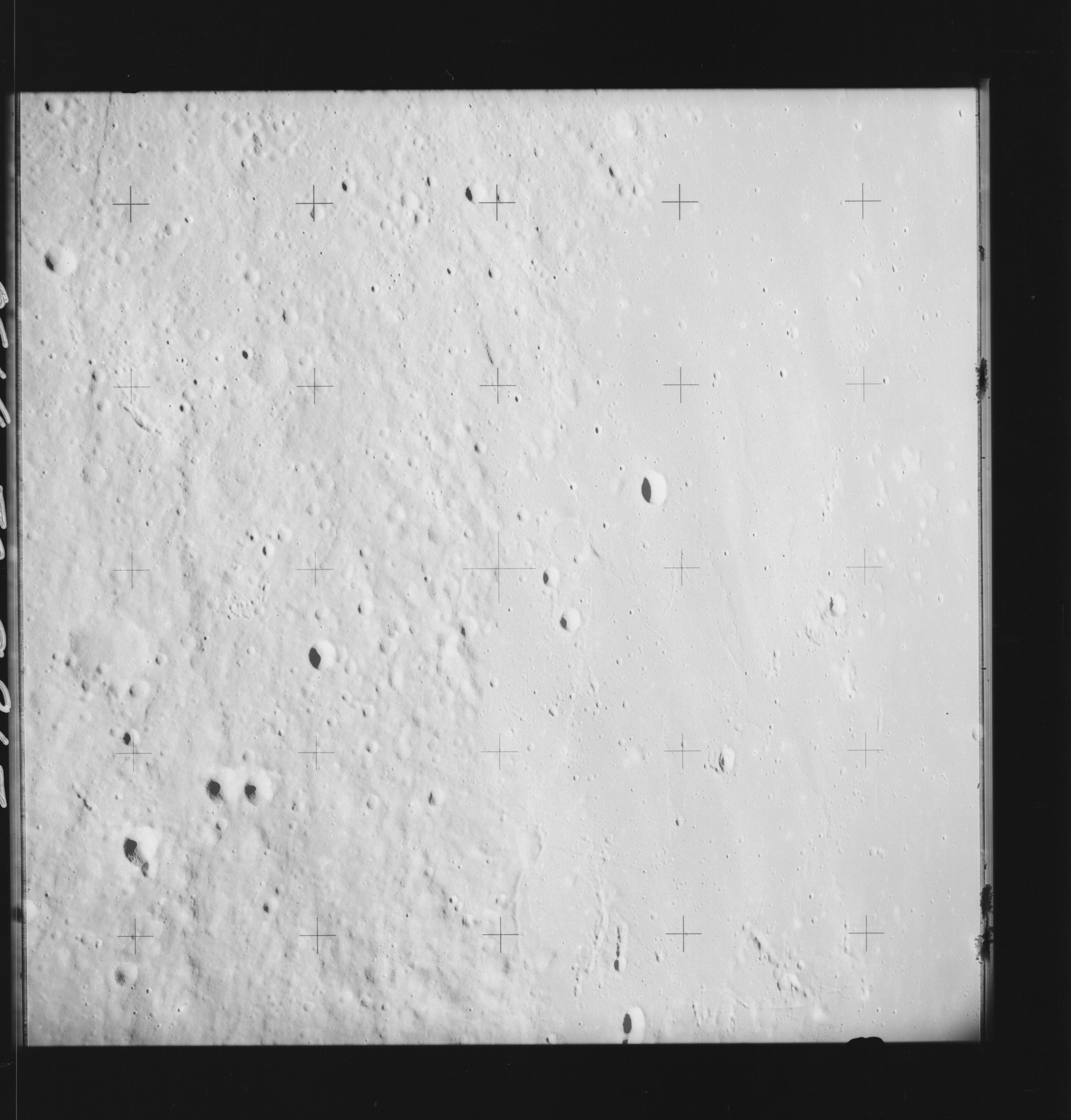 | AS14-70-9817 FRA MAURO G, FRA MAURO K, FRA MAURO R Image credit: National Archives and Records Administration |
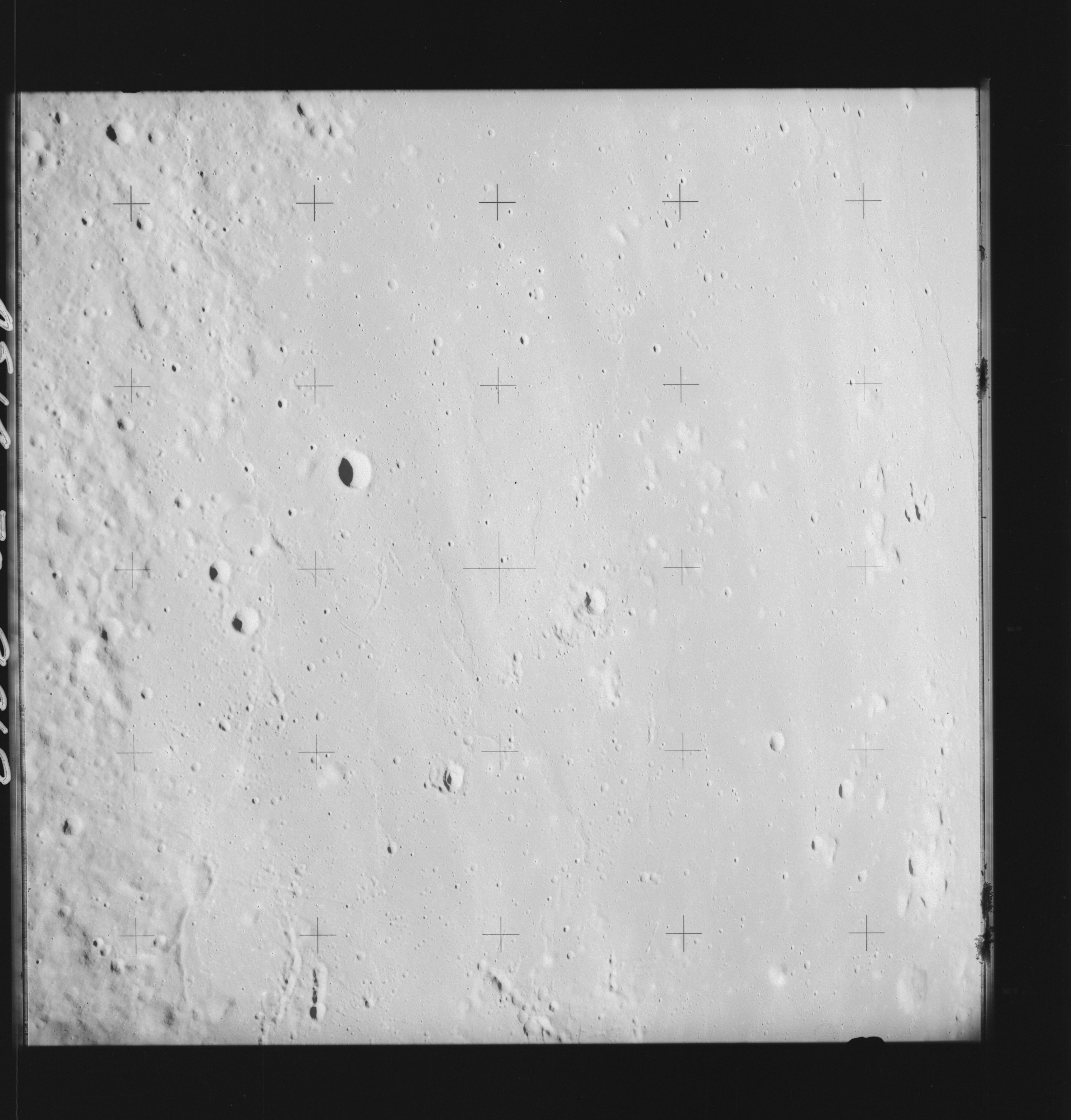 | AS14-70-9818 FRA MAURO J Image credit: National Archives and Records Administration |
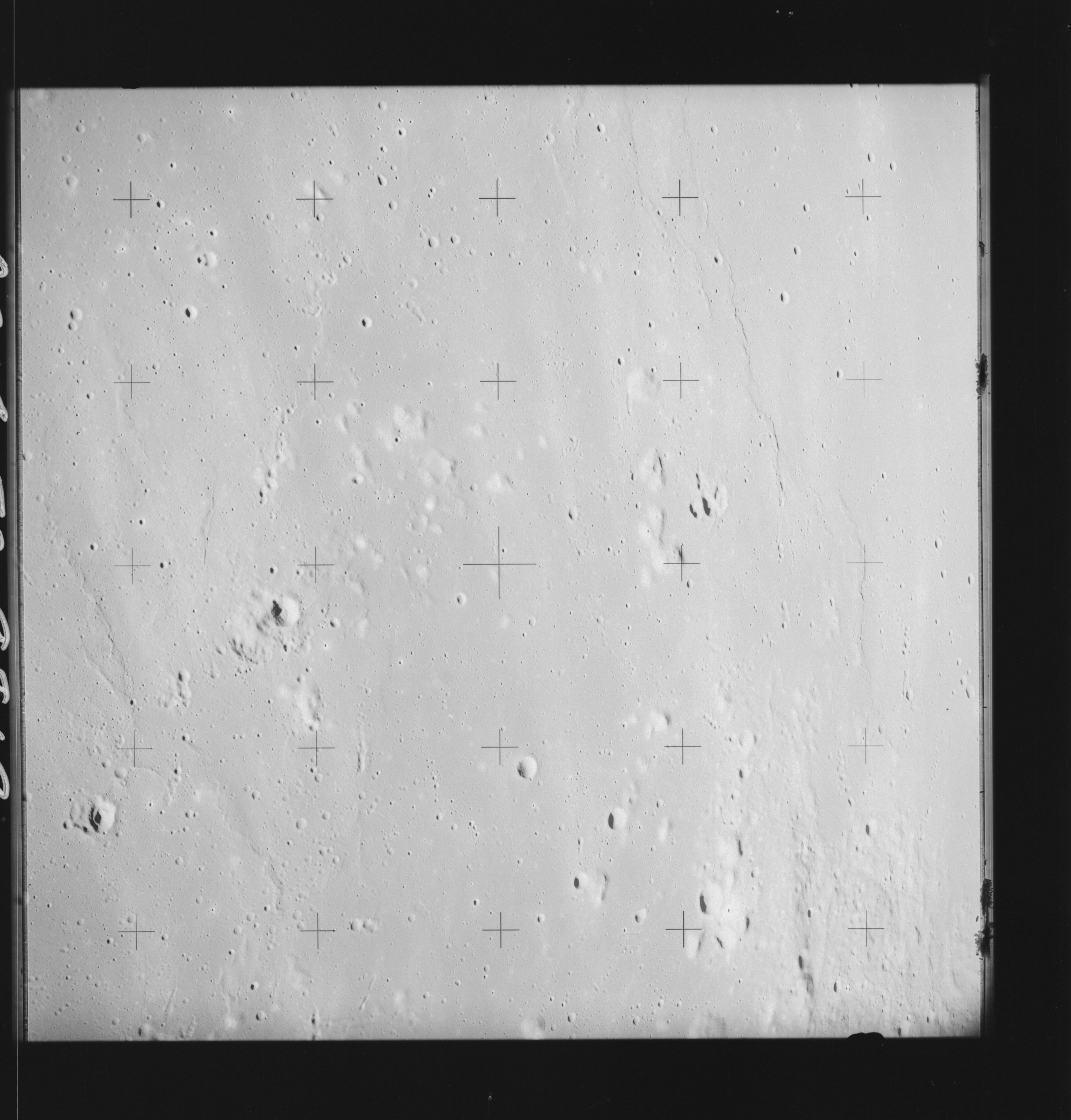 | AS14-70-9819 FRA MAURO J, FRA MAURO T Image credit: National Archives and Records Administration |
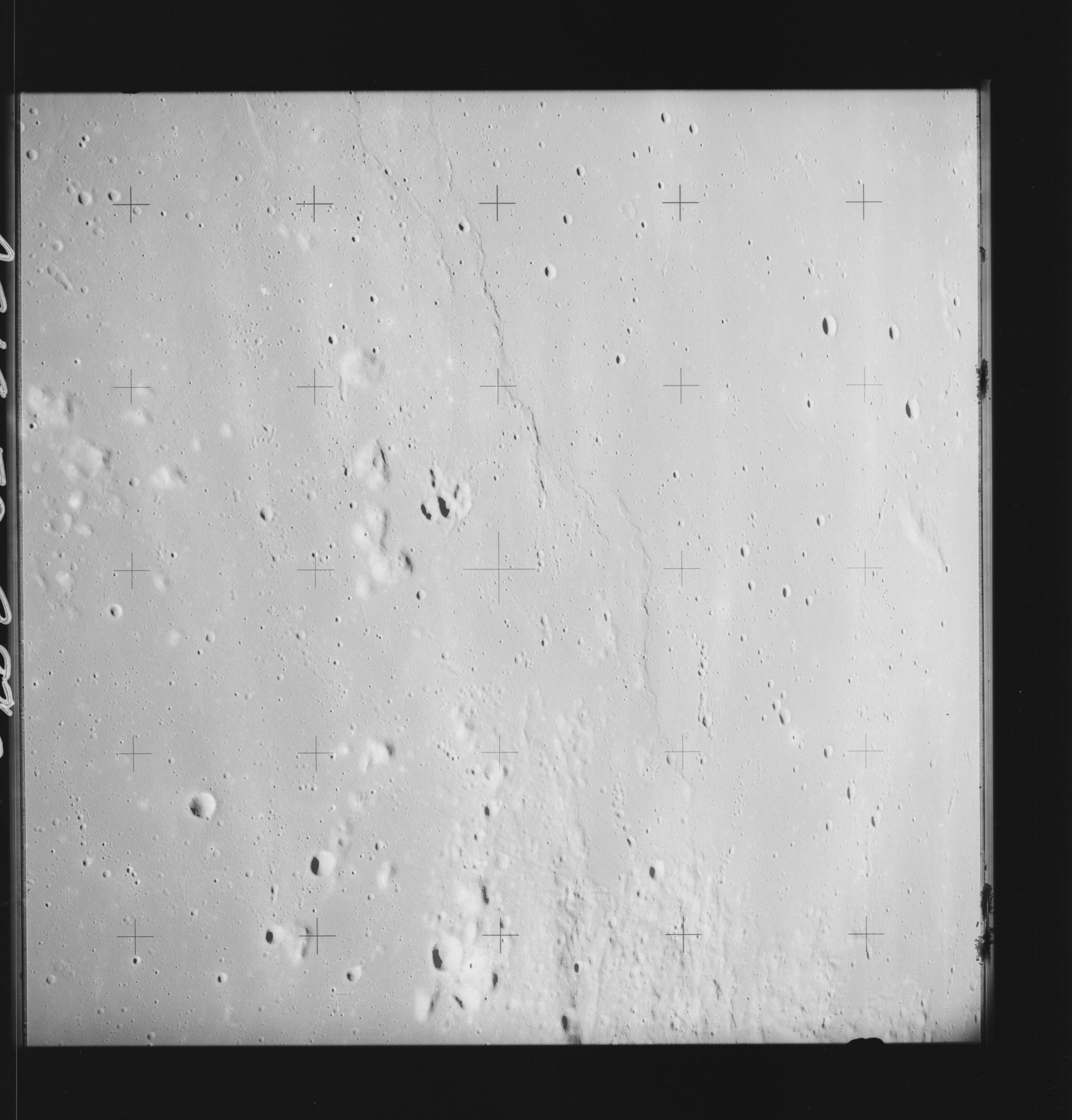 | AS14-70-9820 FRA MAURO V Image credit: National Archives and Records Administration |
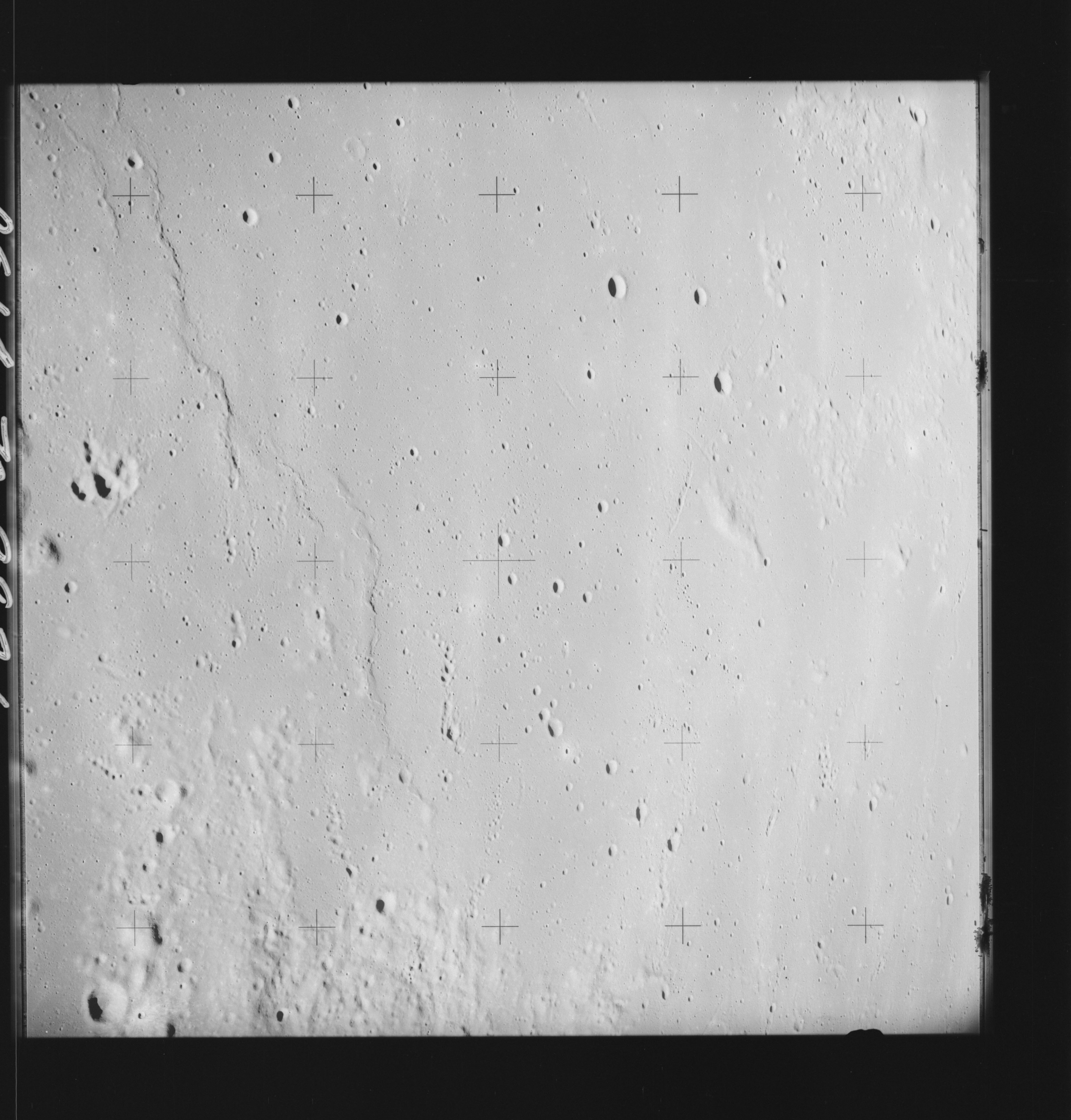 | AS14-70-9821 FRA MAURO V Image credit: National Archives and Records Administration |
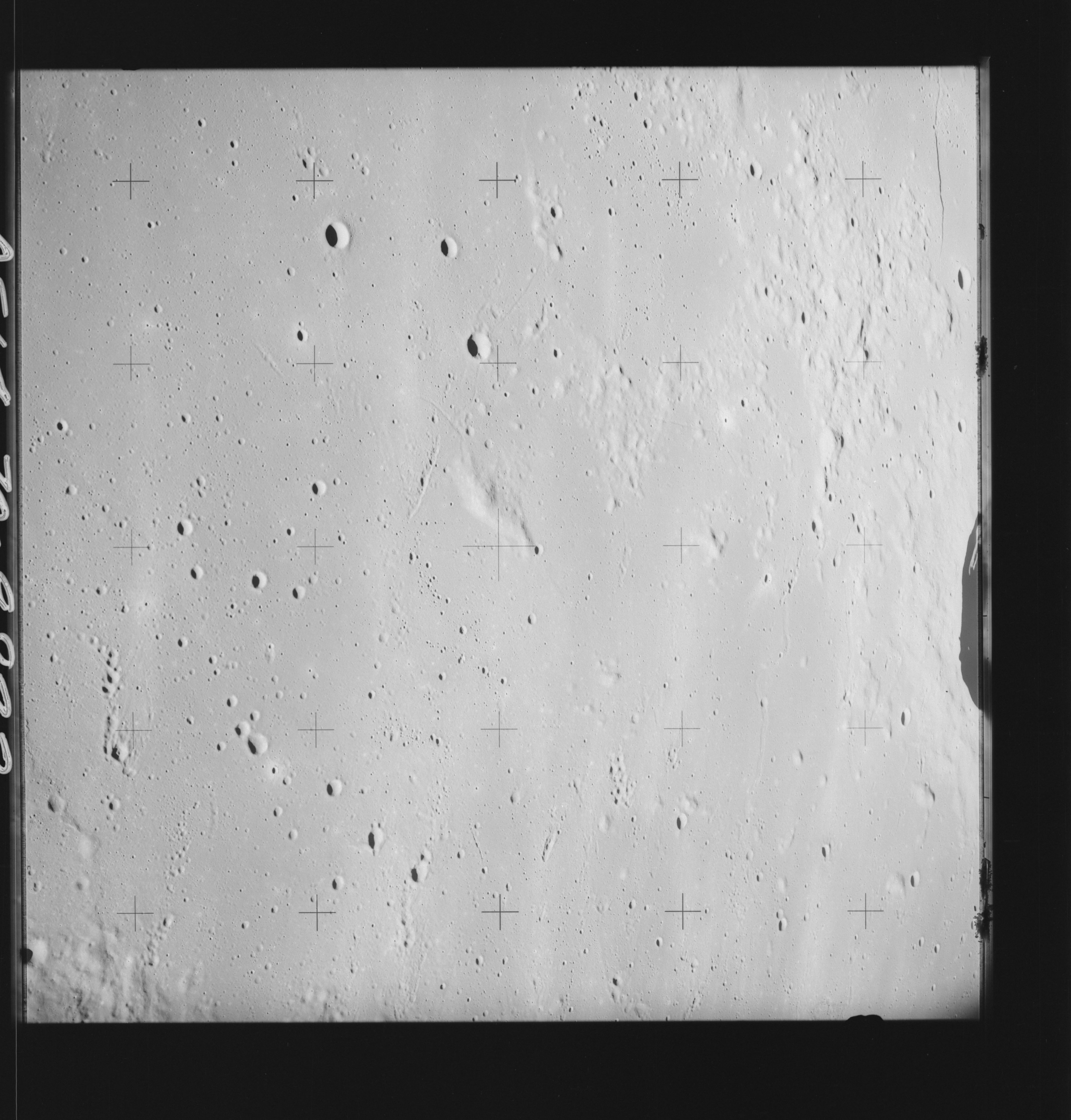 | AS14-70-9822 LANSBERG P Image credit: National Archives and Records Administration |
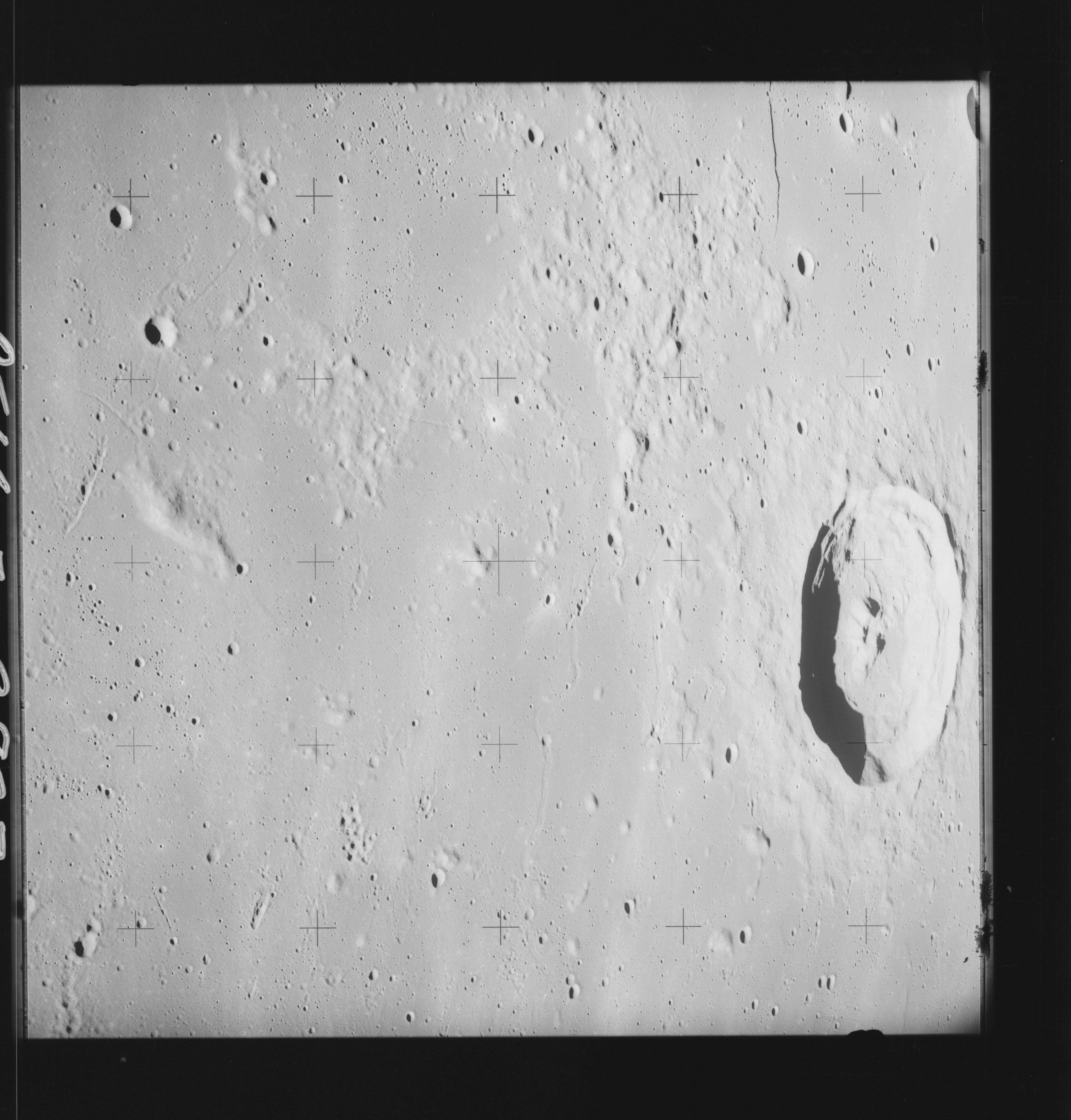 | AS14-70-9823 LANSBERG Image credit: National Archives and Records Administration |
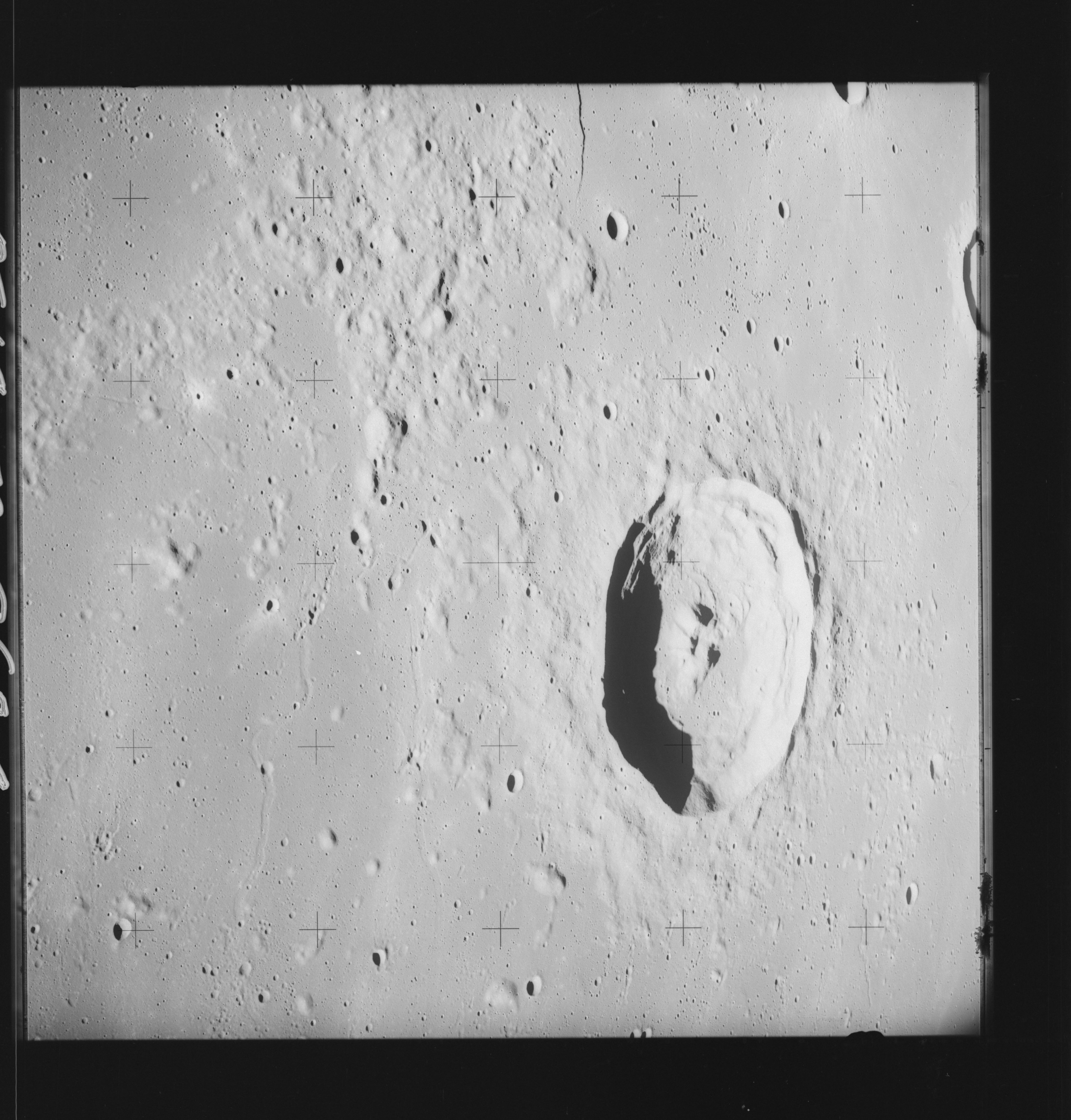 | AS14-70-9824 LANSBERG Image credit: National Archives and Records Administration |
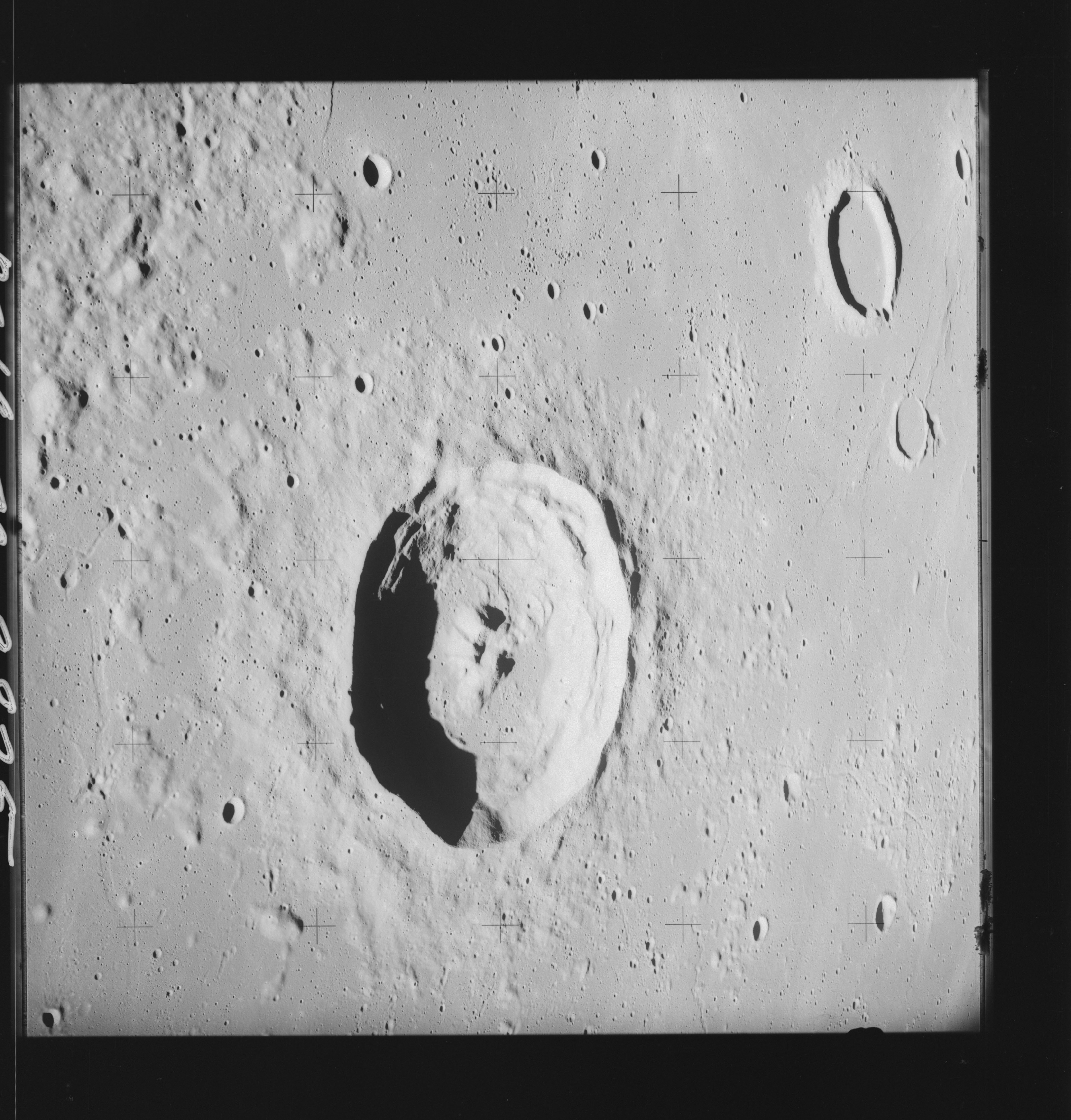 | AS14-70-9825 LANSBERG Image credit: National Archives and Records Administration |
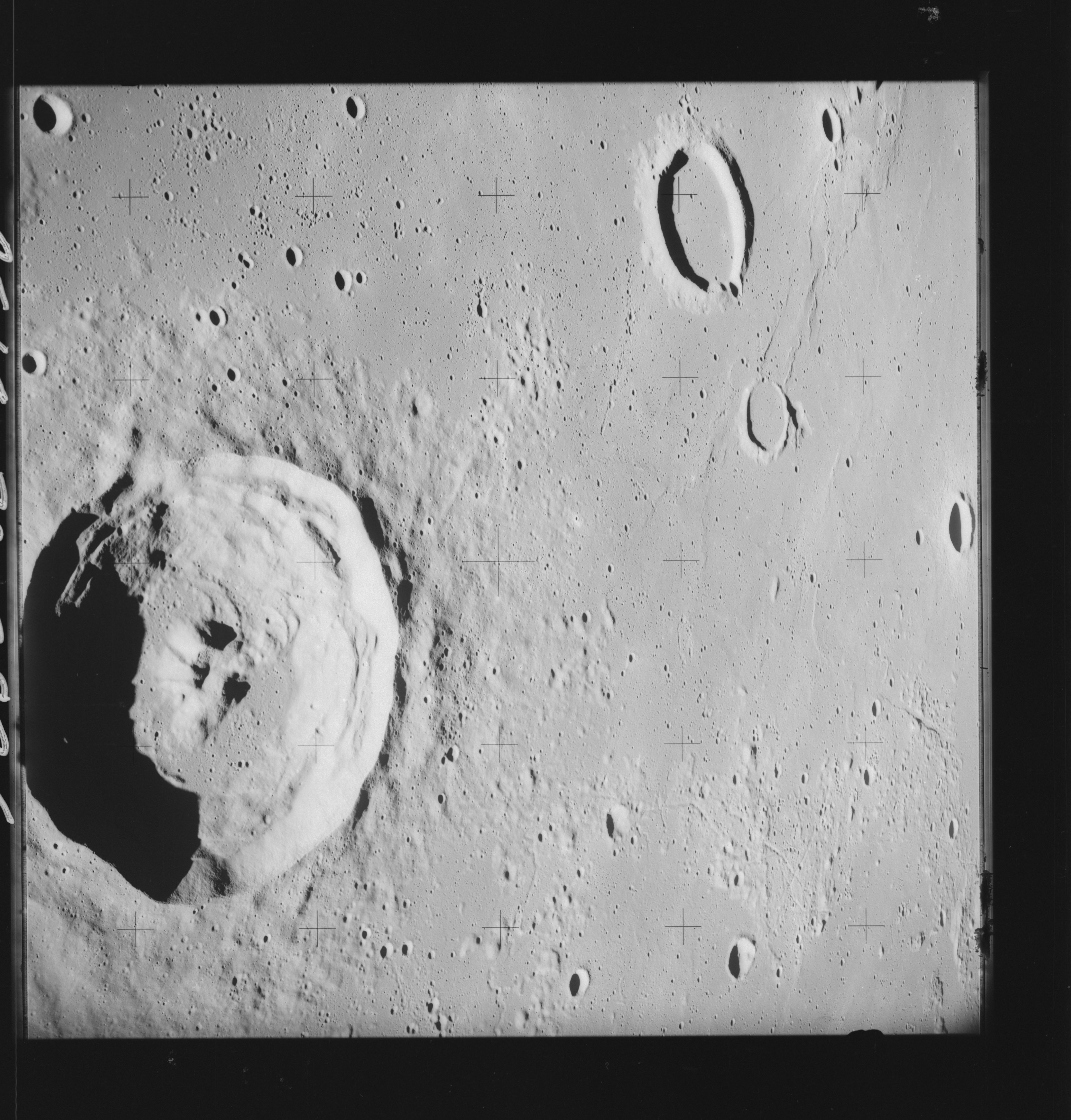 | AS14-70-9826 LANSBERG, LANSBERG C Image credit: National Archives and Records Administration |
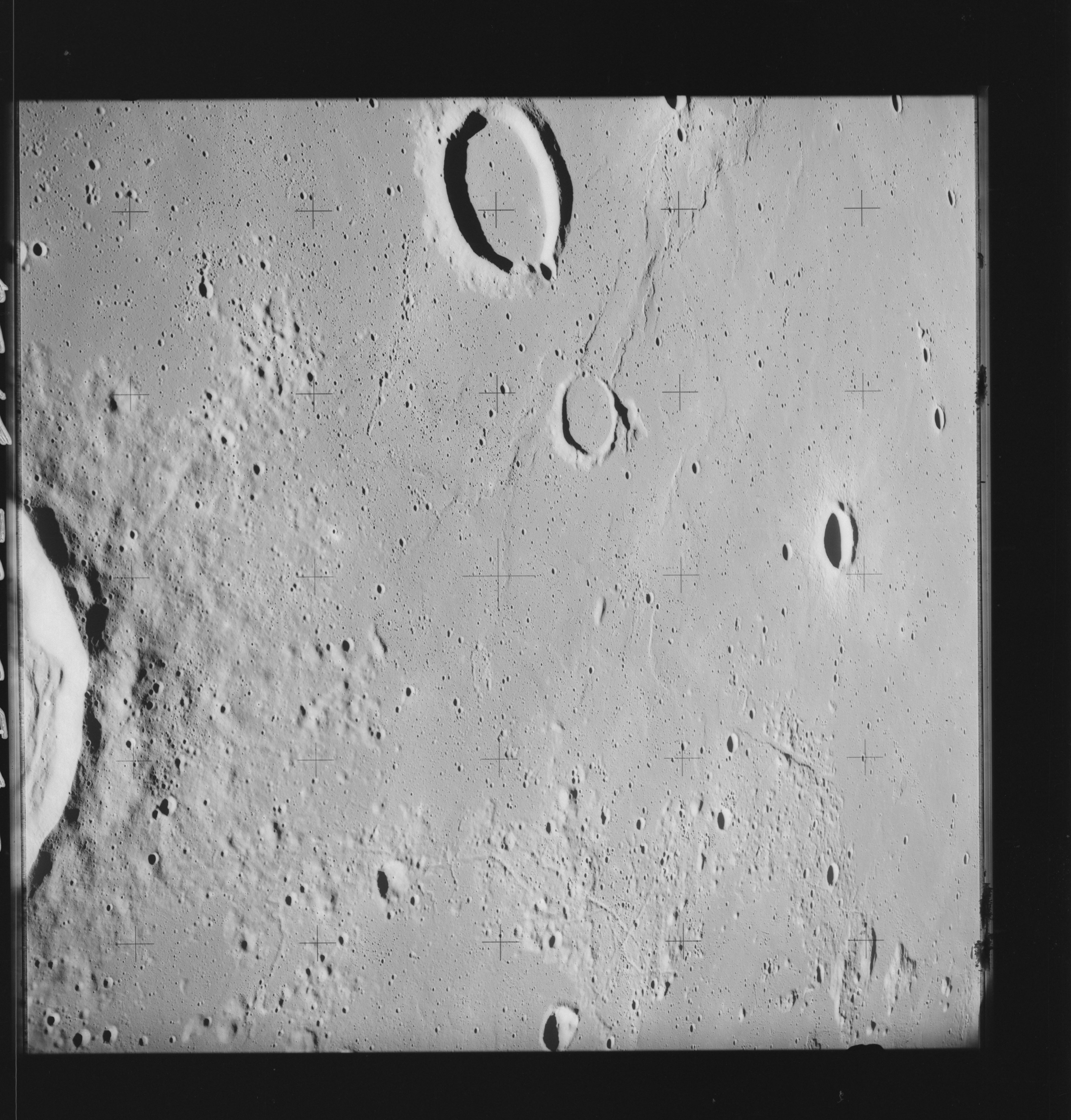 | AS14-70-9827 LANSBERG A, LANSBERG C Image credit: National Archives and Records Administration |
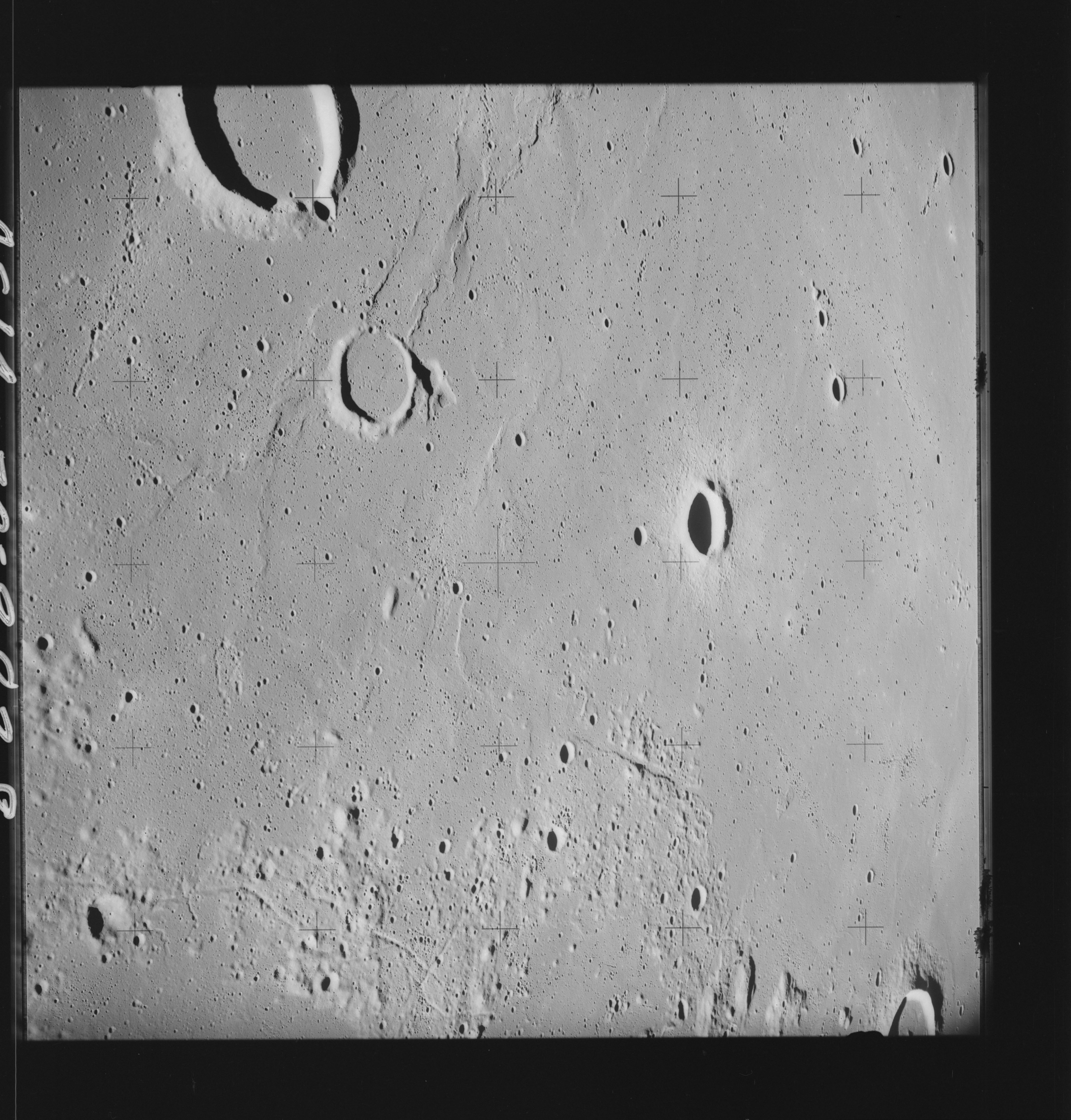 | AS14-70-9828 LANSBERG A, LANSBERG C Image credit: National Archives and Records Administration |
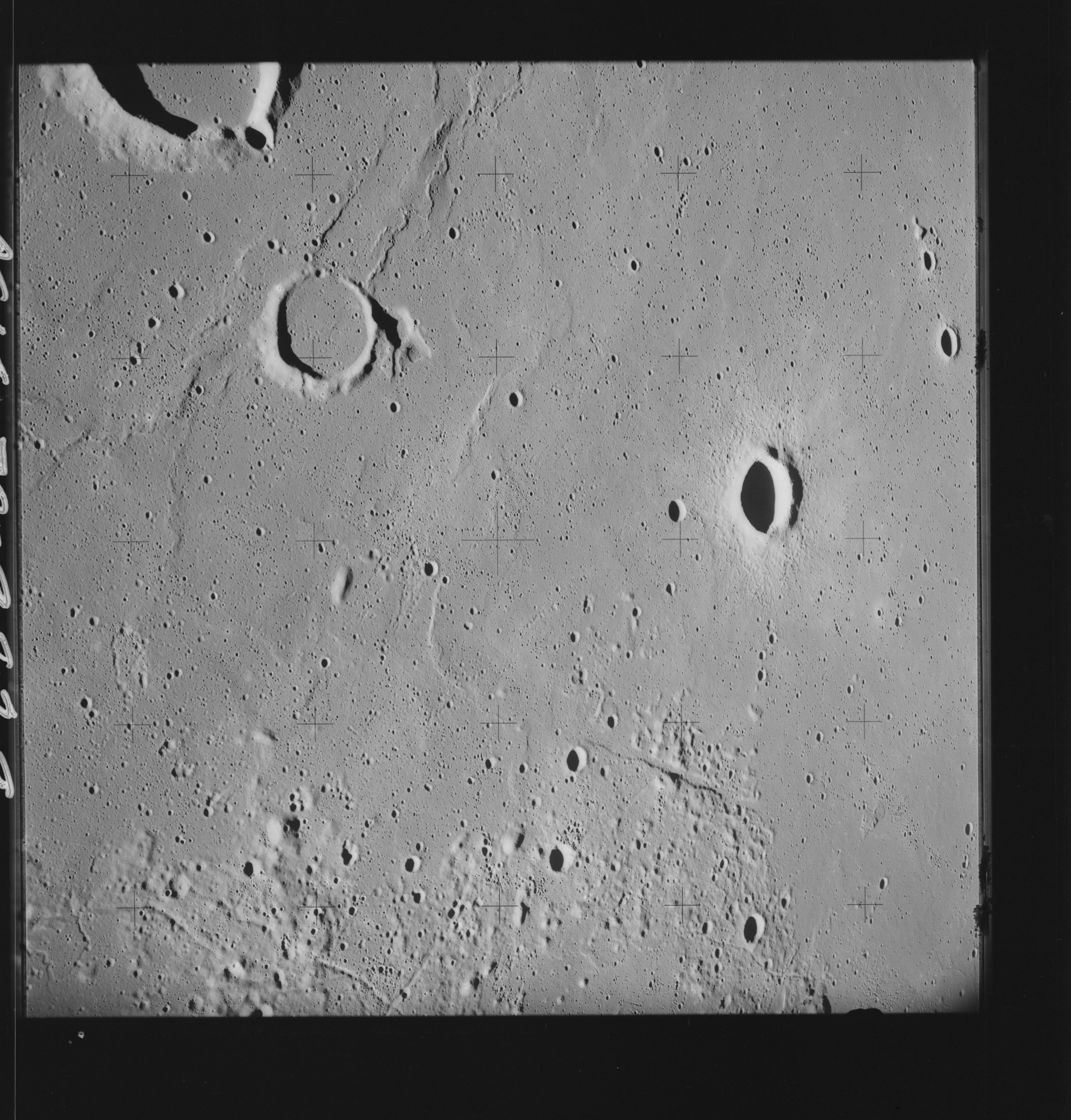 | AS14-70-9829 LANSBERG A, LANSBERG C Image credit: National Archives and Records Administration |
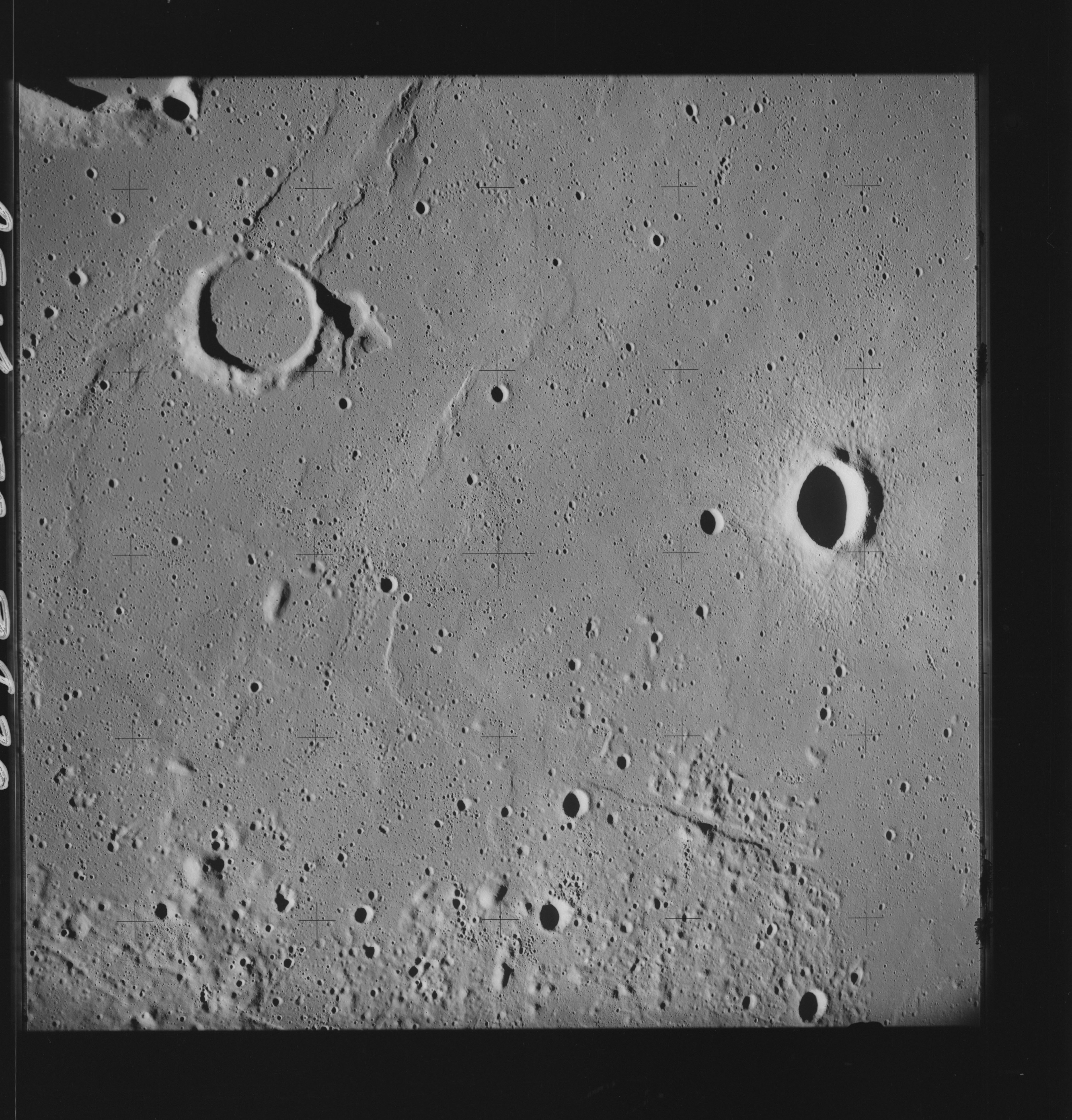 | AS14-70-9830 LANSBERG A, LANSBERG AA Image credit: National Archives and Records Administration |
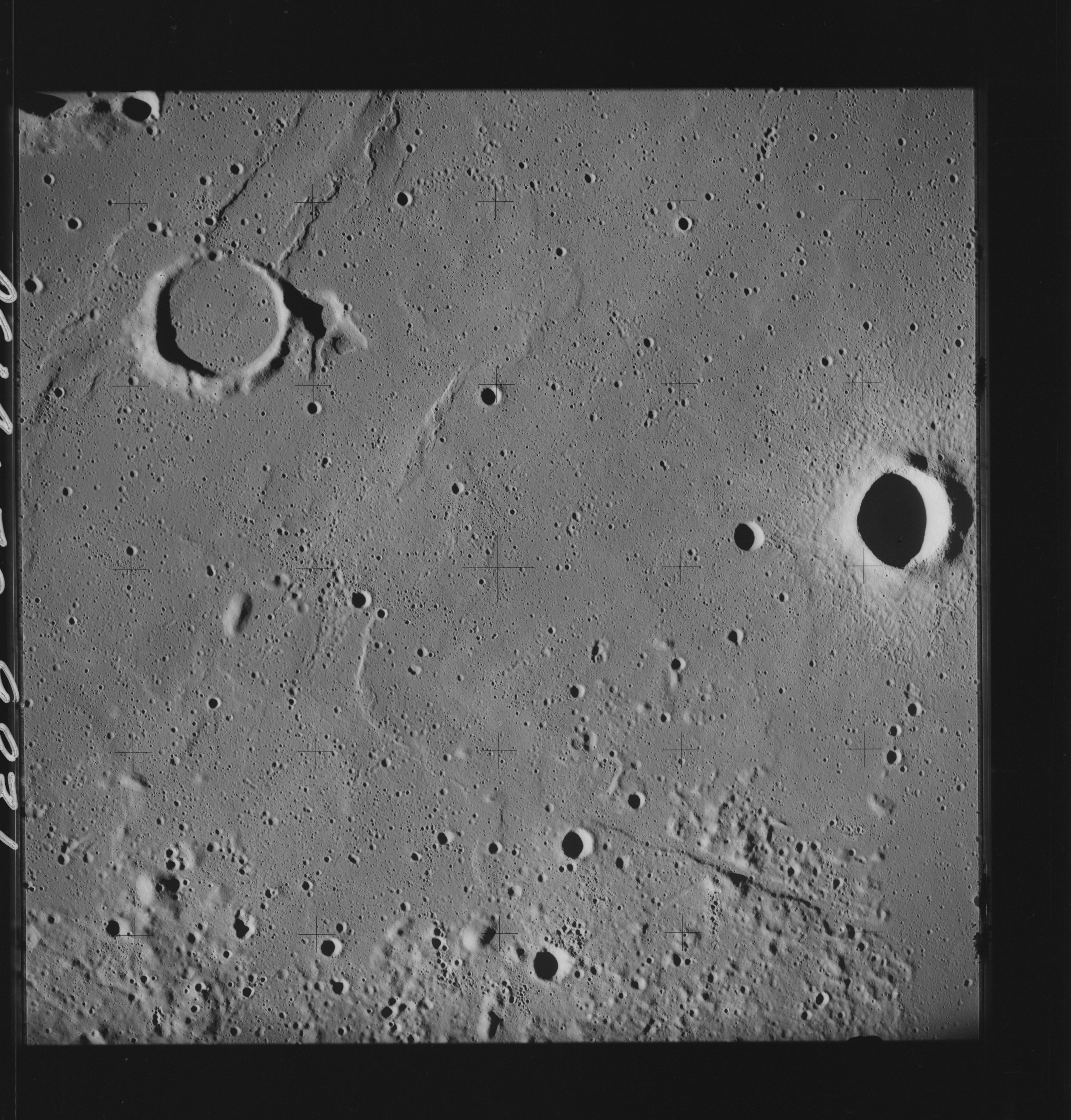 | AS14-70-9831 LANSBERG A, LANSBERG AA Image credit: National Archives and Records Administration |
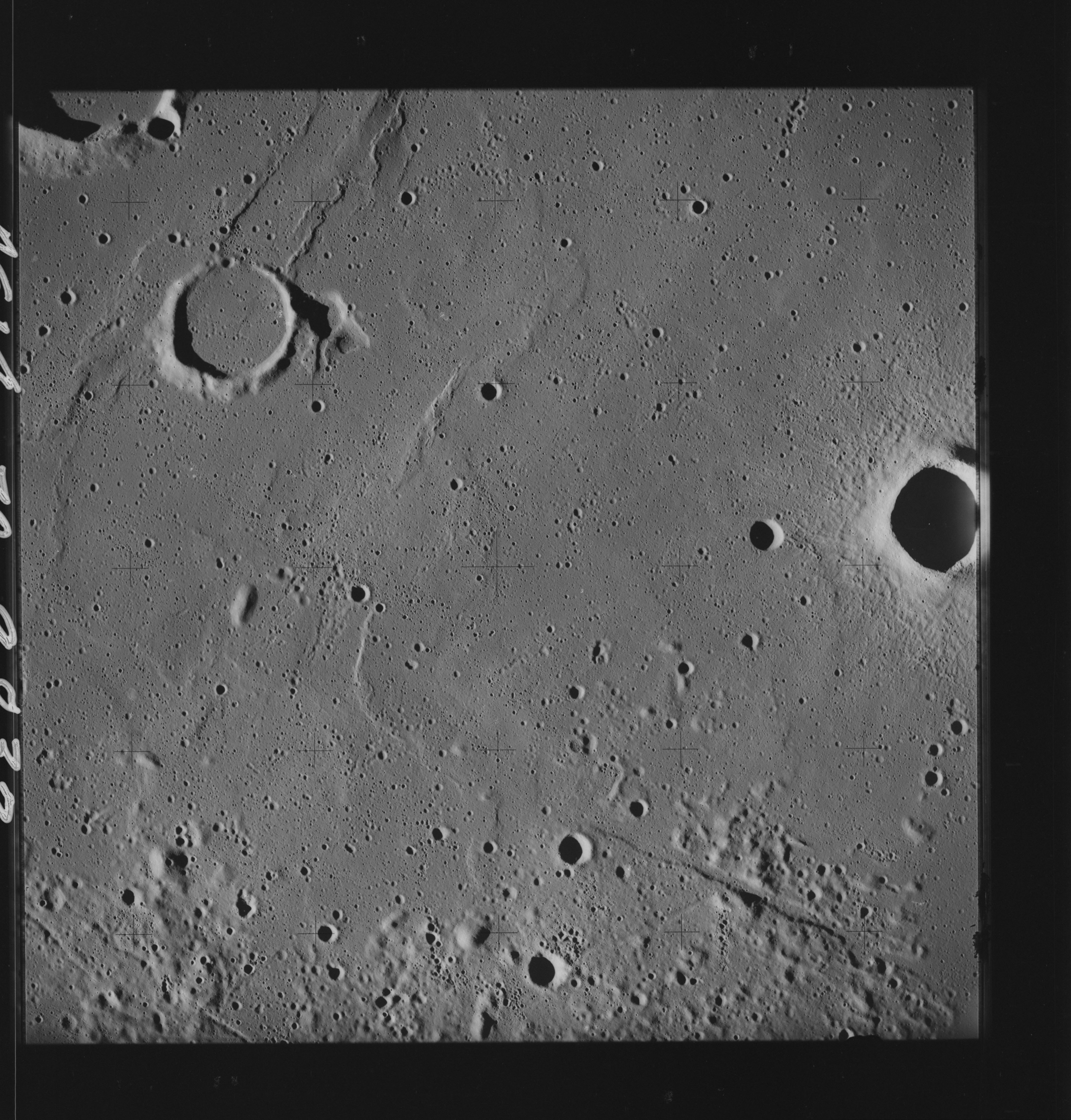 | AS14-70-9832 LANSBERG A, LANSBERG AA Image credit: National Archives and Records Administration |
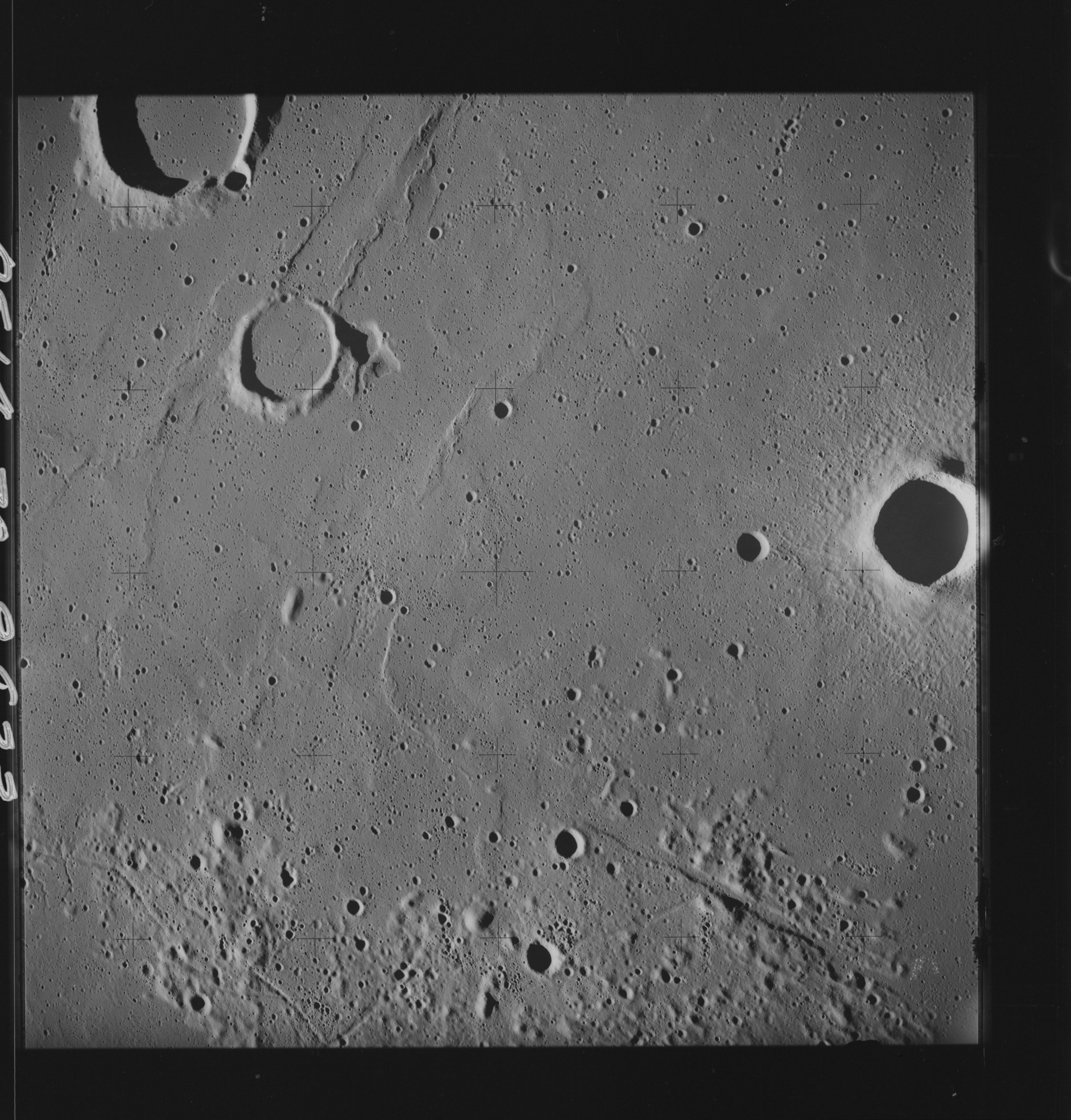 | AS14-70-9833 LANSBERG A, LANSBERG AA Image credit: National Archives and Records Administration |
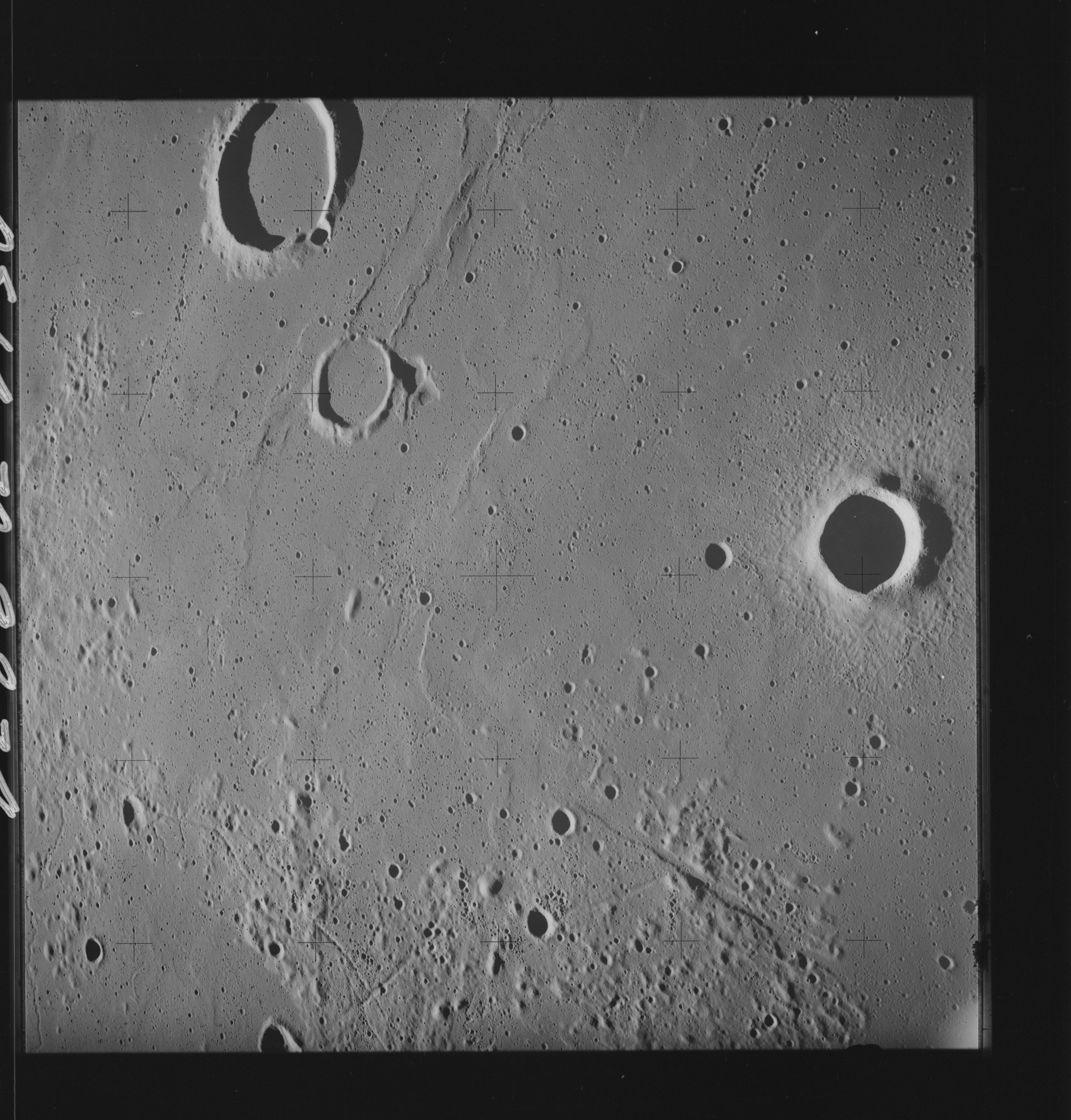 | AS14-70-9834 LANSBERG A, LANSBERG AA Image credit: National Archives and Records Administration |
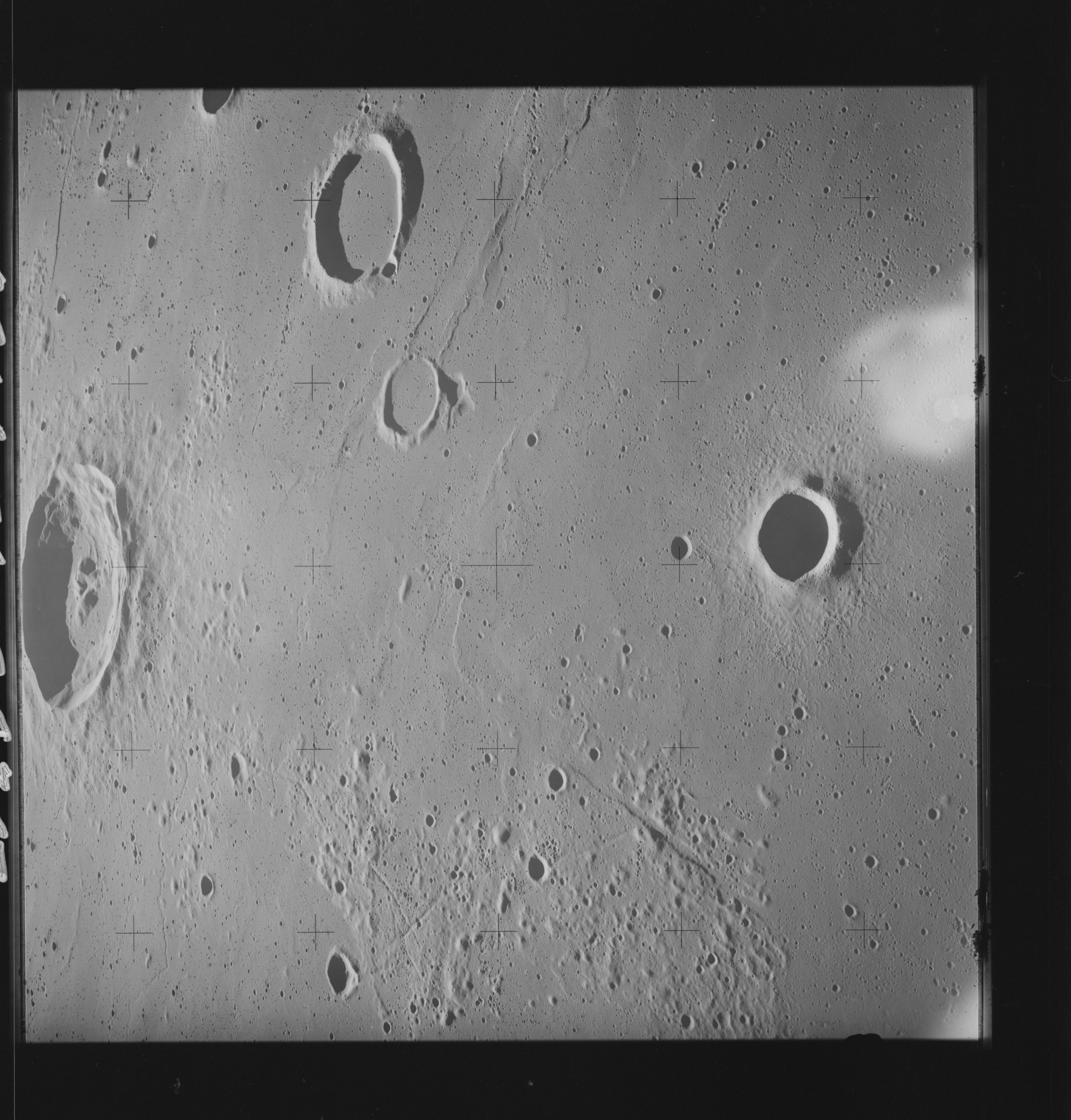 | AS14-70-9835 LANSBERG, LANSBERG A, LANSBERG C Image credit: National Archives and Records Administration |
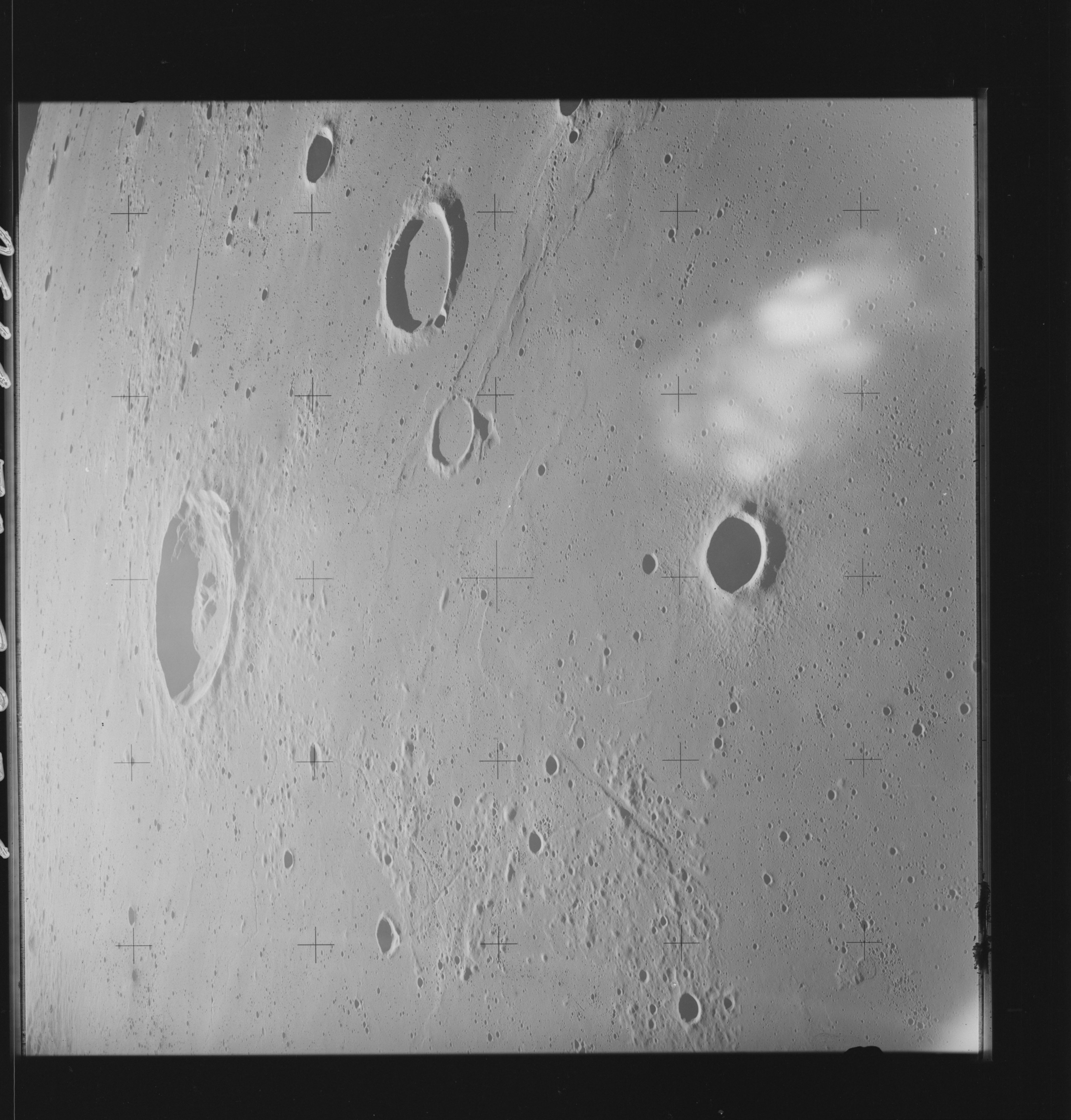 | AS14-70-9836 LANSBERG, LANSBERG A, LANSBERG C Image credit: National Archives and Records Administration |
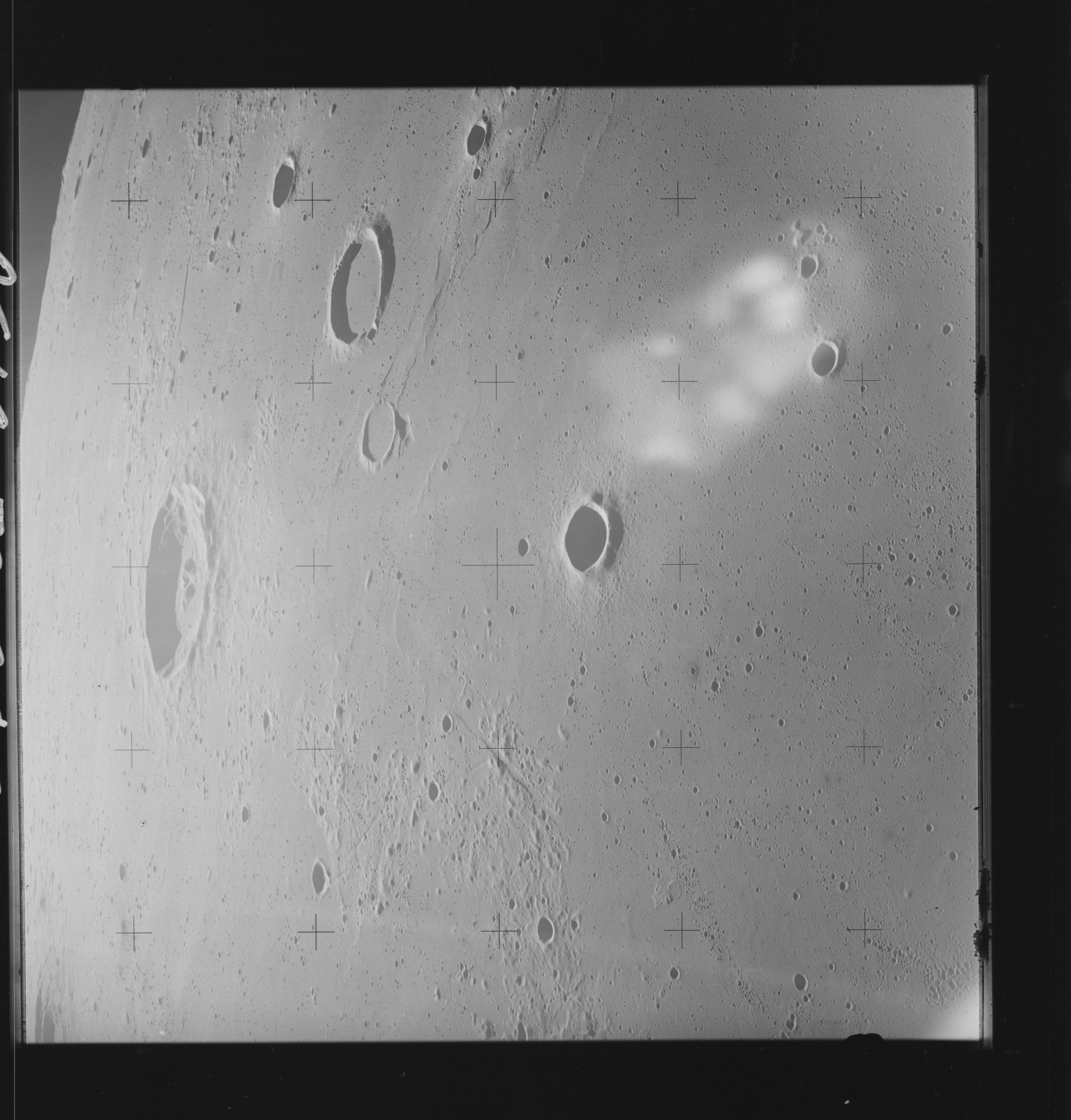 | AS14-70-9837 LANSBERG, LANSBERG A, LANSBERG C Image credit: National Archives and Records Administration |
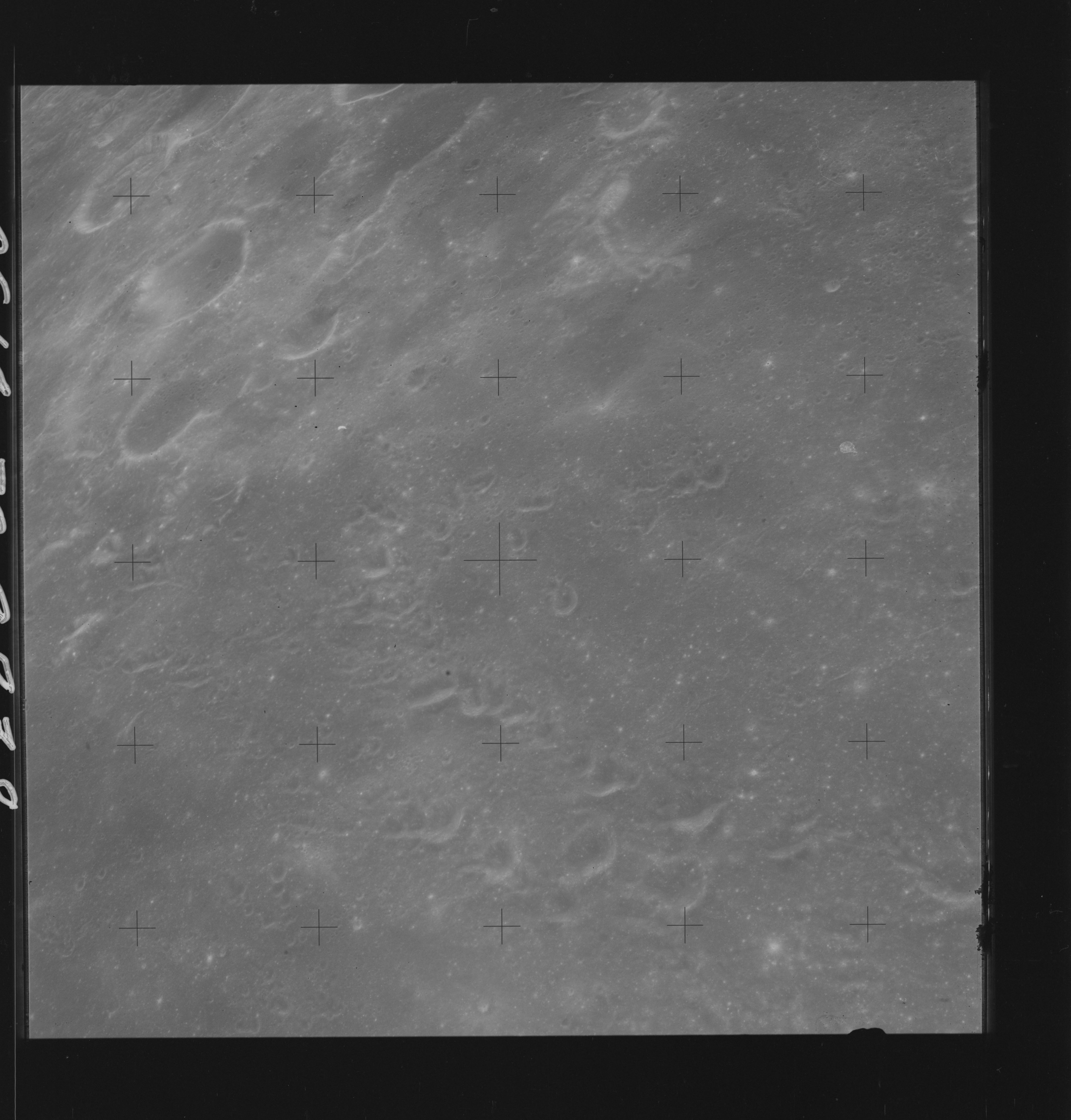 | AS14-70-9838 DARK Image credit: National Archives and Records Administration |
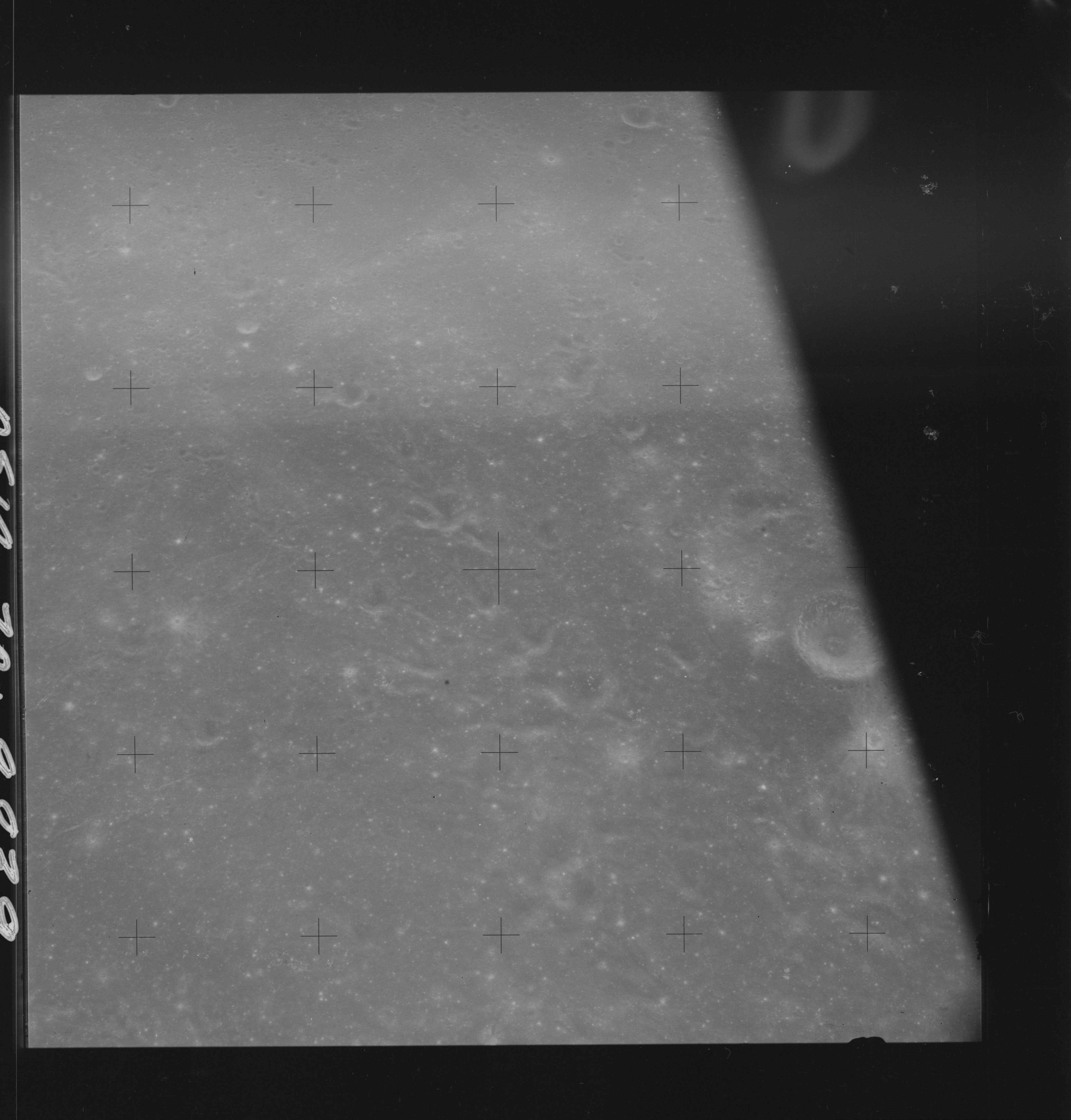 | AS14-70-9839 DARK Image credit: National Archives and Records Administration |
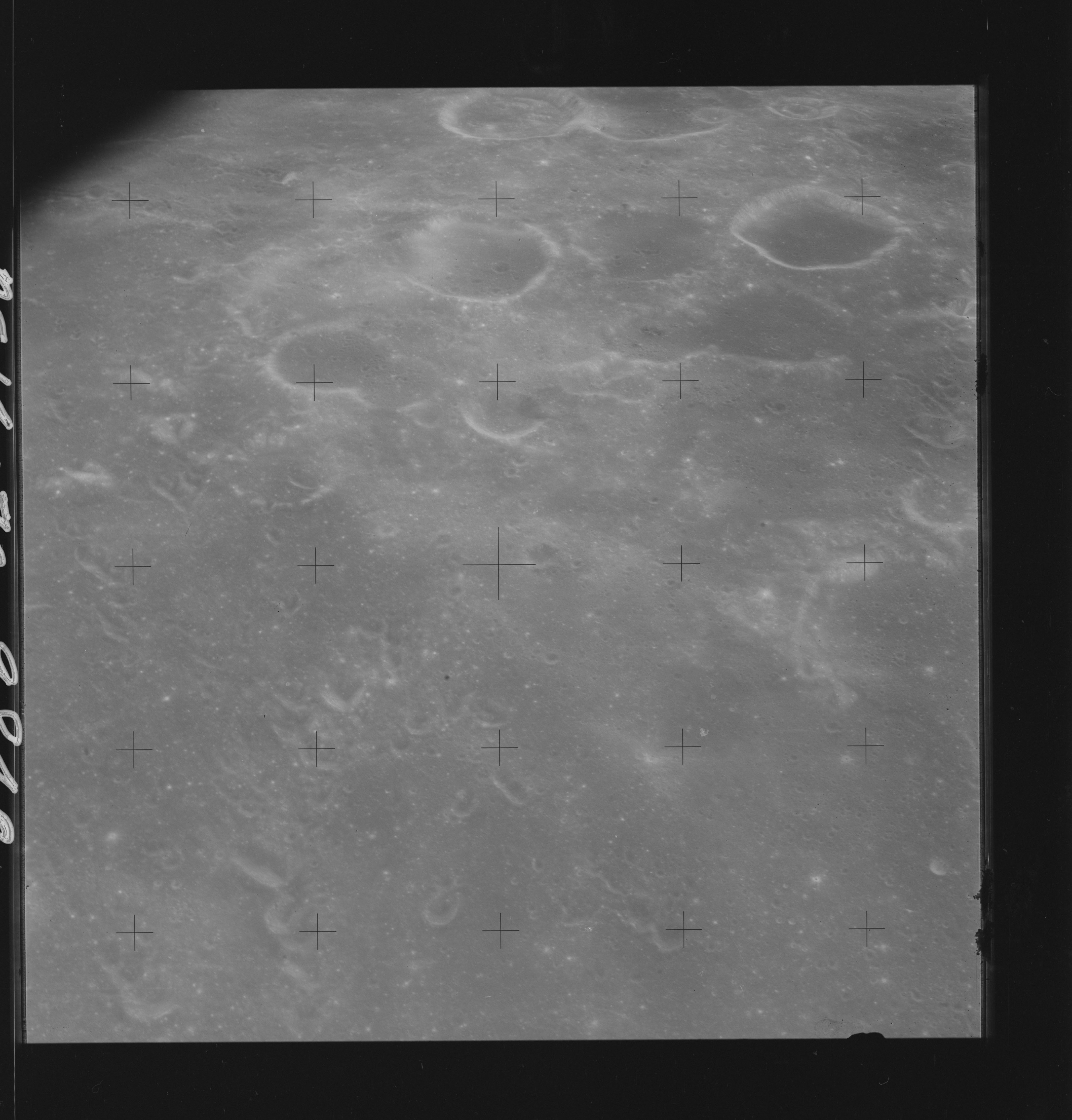 | AS14-70-9840 DARK Image credit: National Archives and Records Administration |
| | |
| 70-mm magazine P - AS14-69-9493 to 9656 | Photography Index | 70-mm magazine T - AS14-71-9841 to 9917 |