
 |
 |
 |
| 70-mm magazine O - AS07-06-1672 to 1737 |
Photography Index | 70-mm magazine R - AS07-08-1880 to 1943 |
No copyright is asserted for NASA photographs. If a recognizable person appears in a photo, use for commercial purposes may infringe a right of privacy or publicity. Photos may not be used to state or imply the endorsement by NASA or by any NASA employee of a commercial product, process or service, or used in any other manner that might mislead. Accordingly, it is requested that if a NASA photograph is used in advertising and other commercial promotion, layout and copy be submitted to NASA prior to release. NASA photos reproduced from this archive should include photo credit to "NASA" or "National Aeronautics and Space Administration" and should include scanning credit to the appropriate individuals or agencies as noted in the captions.
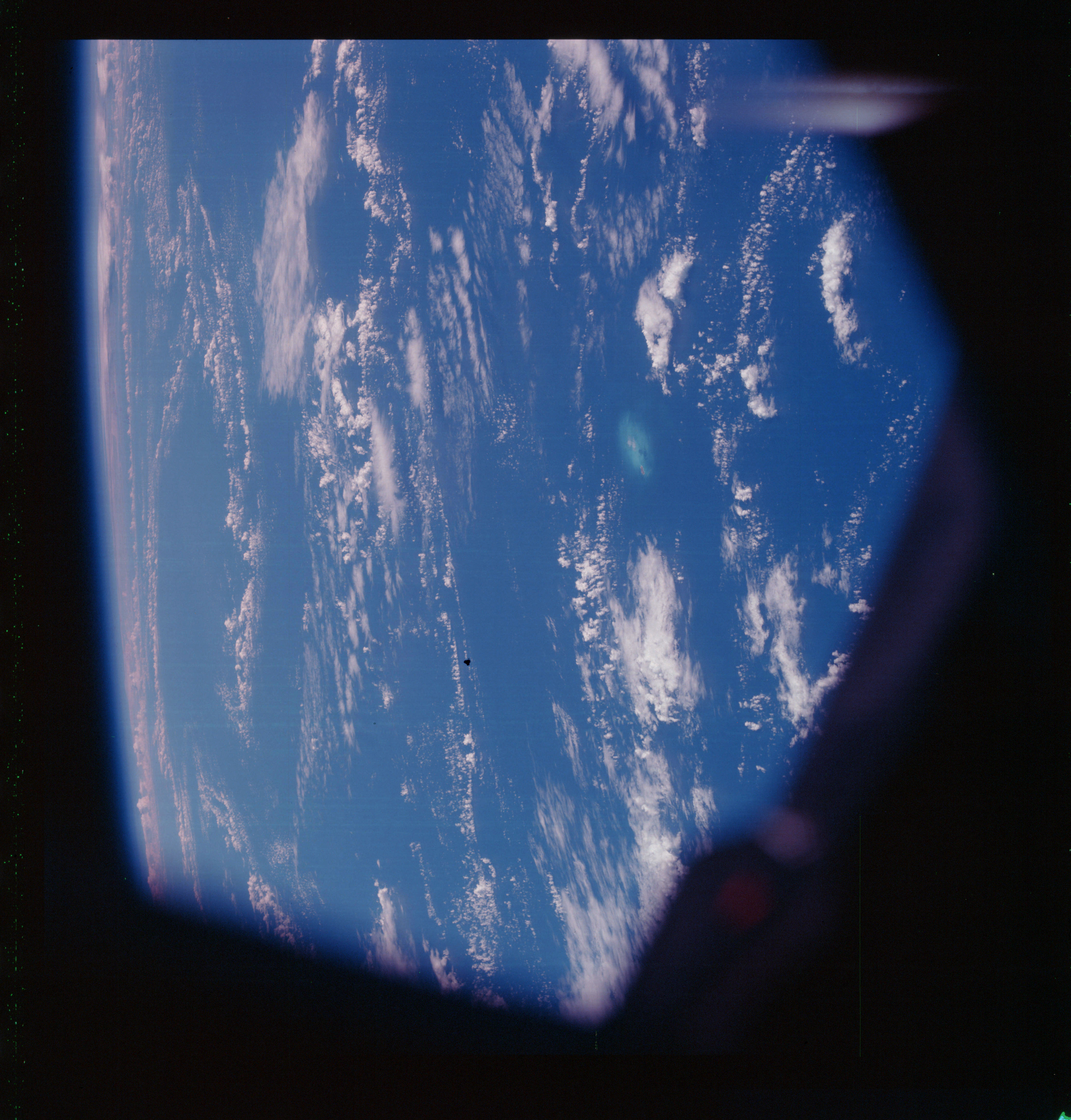 | AS07-07-1738 GEOGRAPHY/CARTOGRAPHY: Gardiner‘s Pinnacles. METEOROLOGY: Cumulus, alto~cumulus, cirrus. OCEANOGRAPHY: Shoal area. Image credit: Image Science and Analysis Laboratory, NASA-Johnson Space Center. |
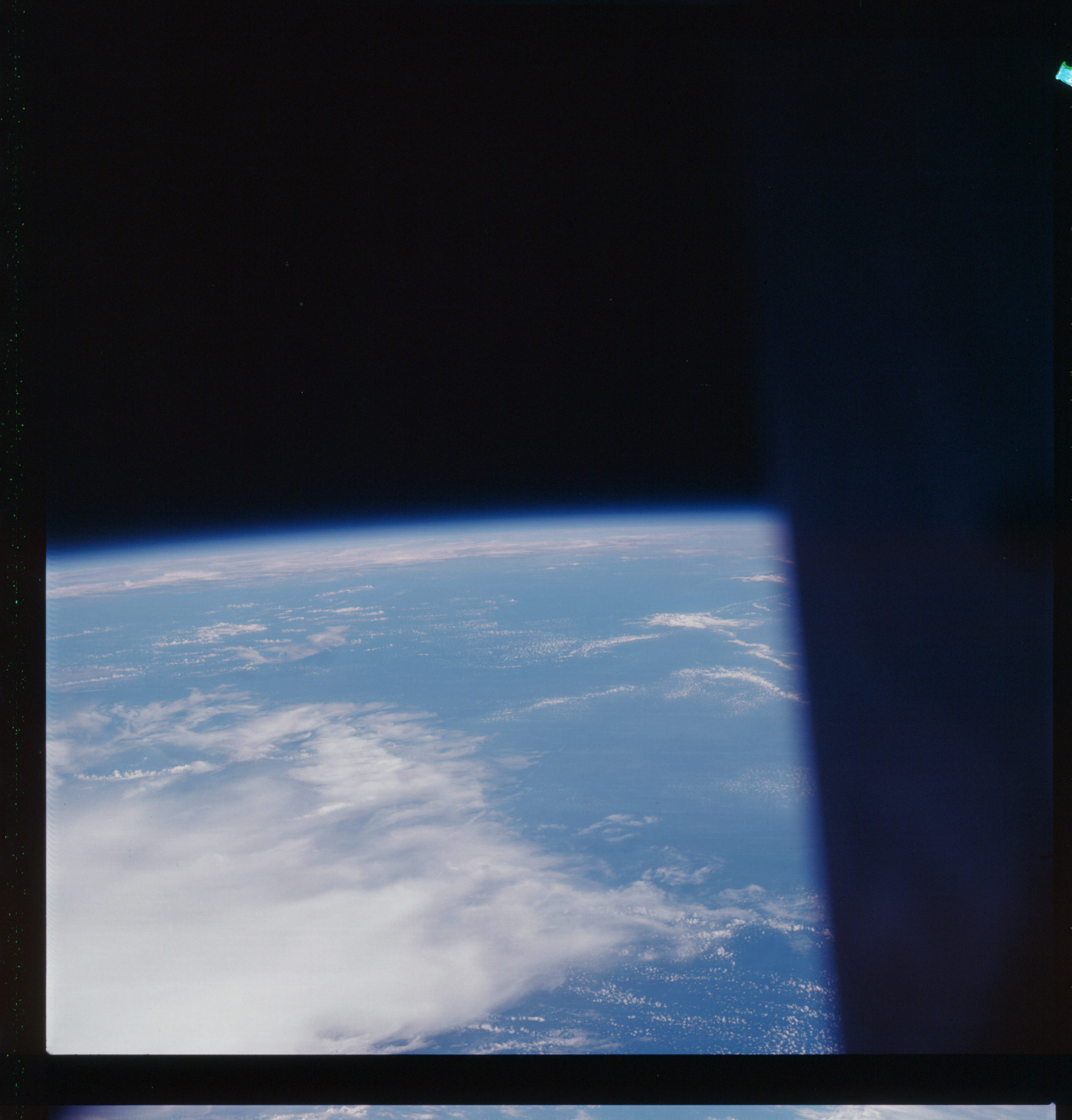 | AS07-07-1739 GEOGRAPHY/CARTOGRAPHY: Pacific Ocean METEOROLOGY: Cumulus, alto-cumulus, cirrus. Image credit: Image Science and Analysis Laboratory, NASA-Johnson Space Center. |
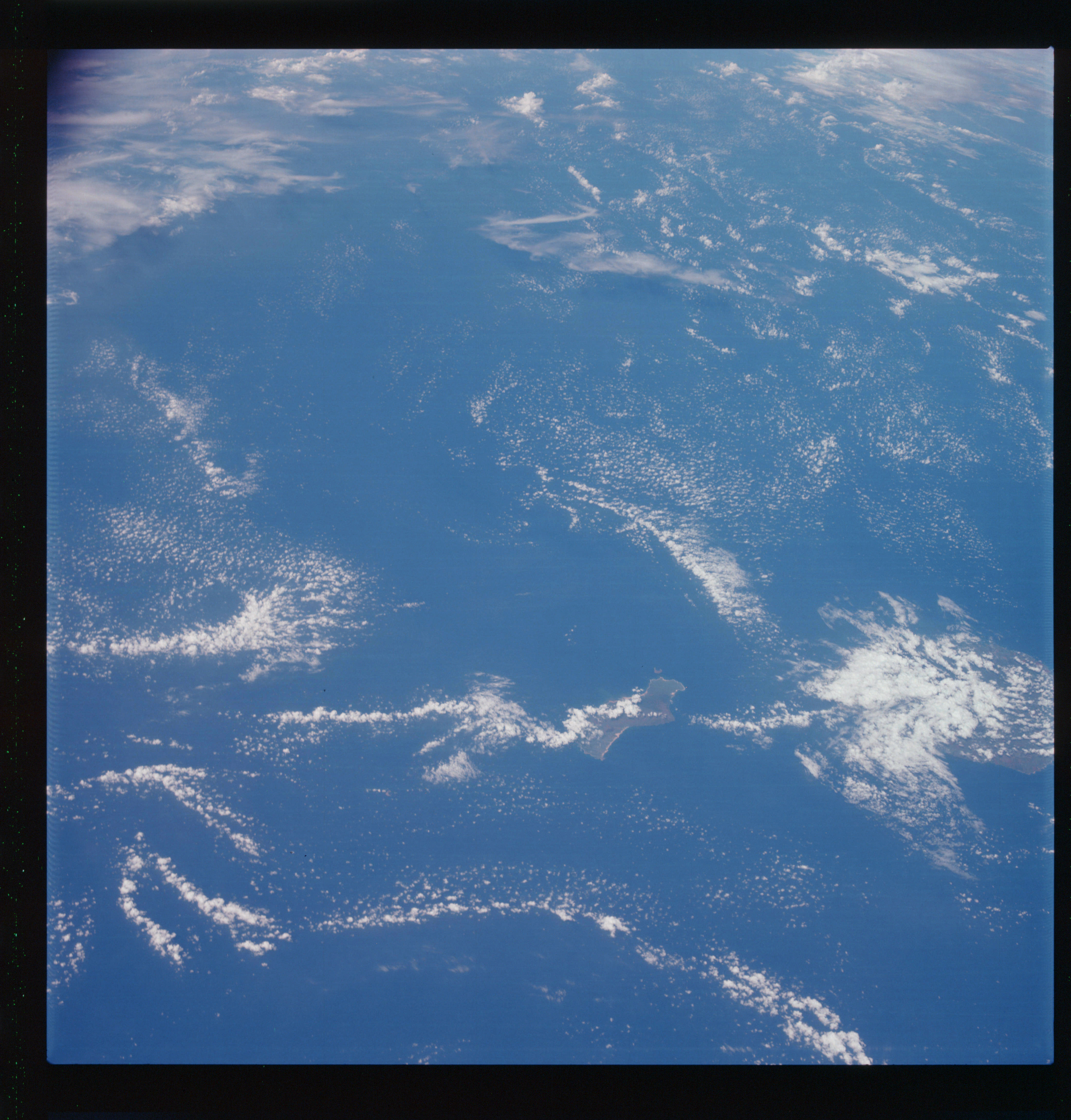 | AS07-07-1740 GEOGRAPHY/CARTOGRAPHY: Island of Niihau in Hawaiian Chain, the Northeastern most island. GEOLOGY/HYDROLOGY: Volcanic mountains. METEOROLOGY: Cumulus, cirrus. OCEANOGRAPHY: Island beaches. Image credit: Image Science and Analysis Laboratory, NASA-Johnson Space Center. |
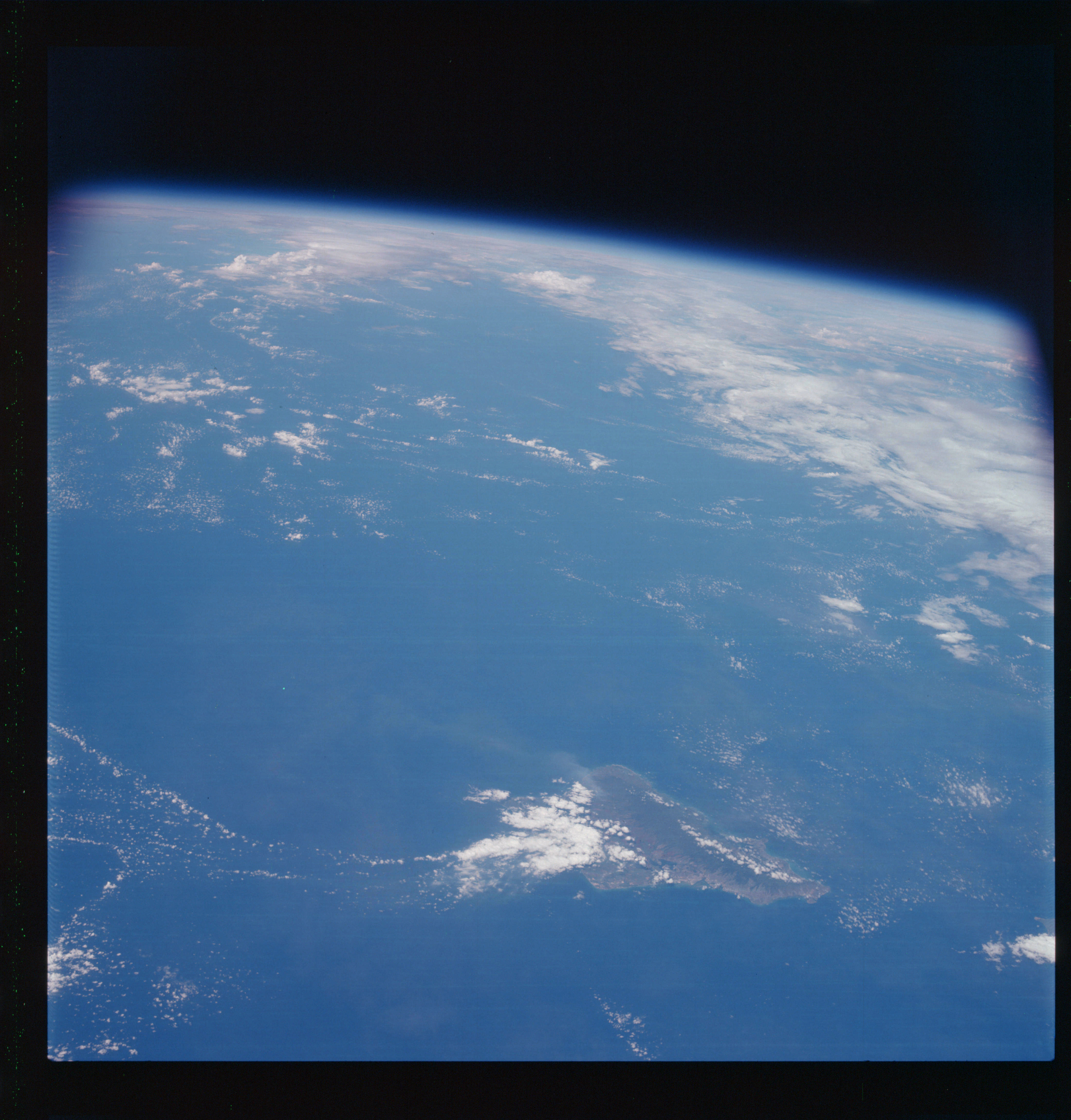 | AS07-07-1741 GEOGRAPHY/CARTOGRAPHY: Island of Oahu, Hawaii, City of Honolulu. GEOLOGY/HYDROLOGY: Volcanic mountains. FORESTRY: Dense tropical rainforests in highlands. METEOROLOGY: Cumulus, cirrus. OCEANOGRAPHY: Island coastlines and beaches. Image credit: Image Science and Analysis Laboratory, NASA-Johnson Space Center. |
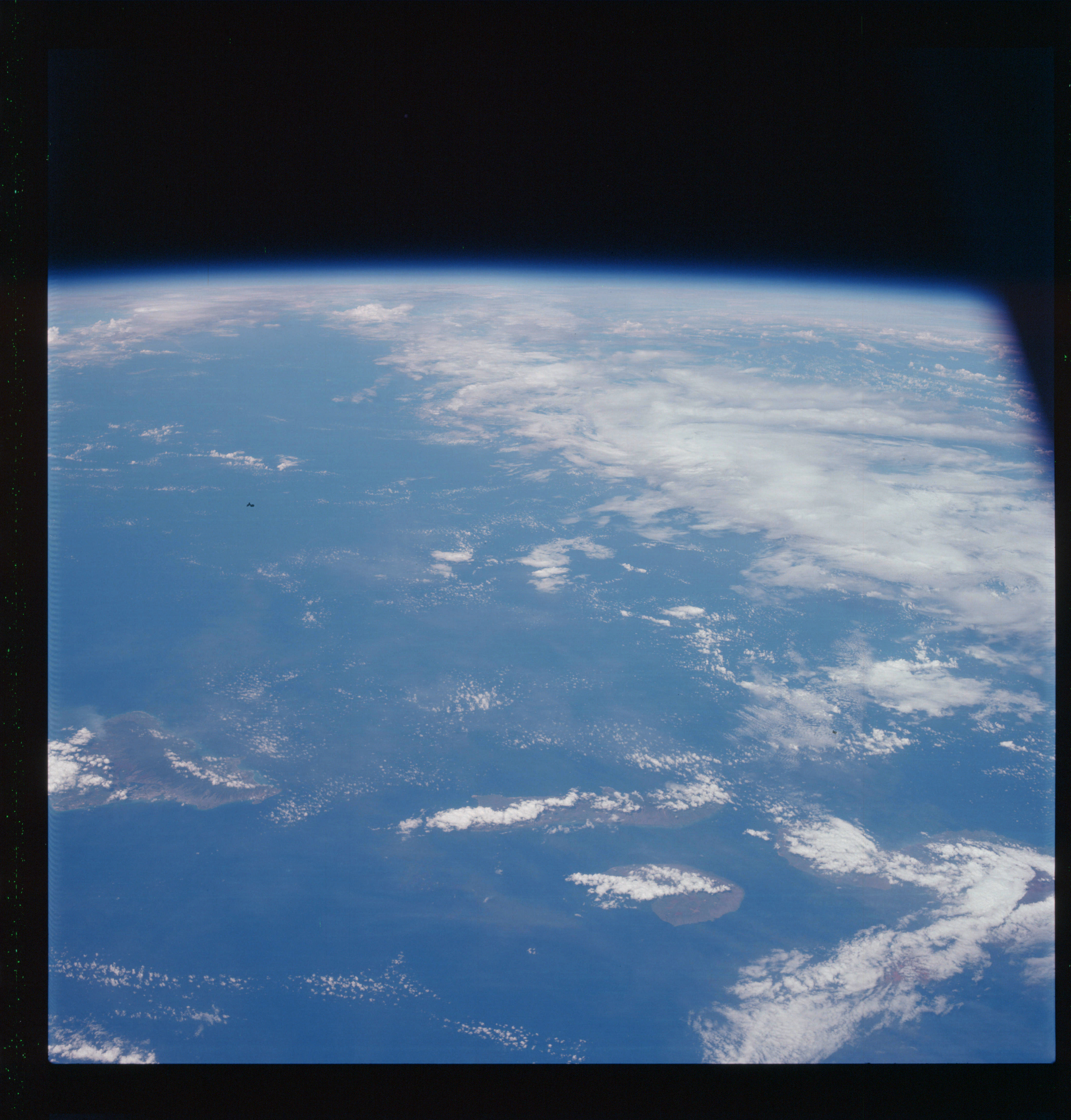 | AS07-07-1742 GEOGRAPHY/CARTOGRAPHY: Island of Oahu, Molokai, Lanai, Maui, Kaho’olawe. GEOLOGY/HYDROLOGY: Volcanic mountains. METEOROLOGY: Cumulus, cirrus. OCEANOGRAPHY: Coastlines. Image credit: Image Science and Analysis Laboratory, NASA-Johnson Space Center. |
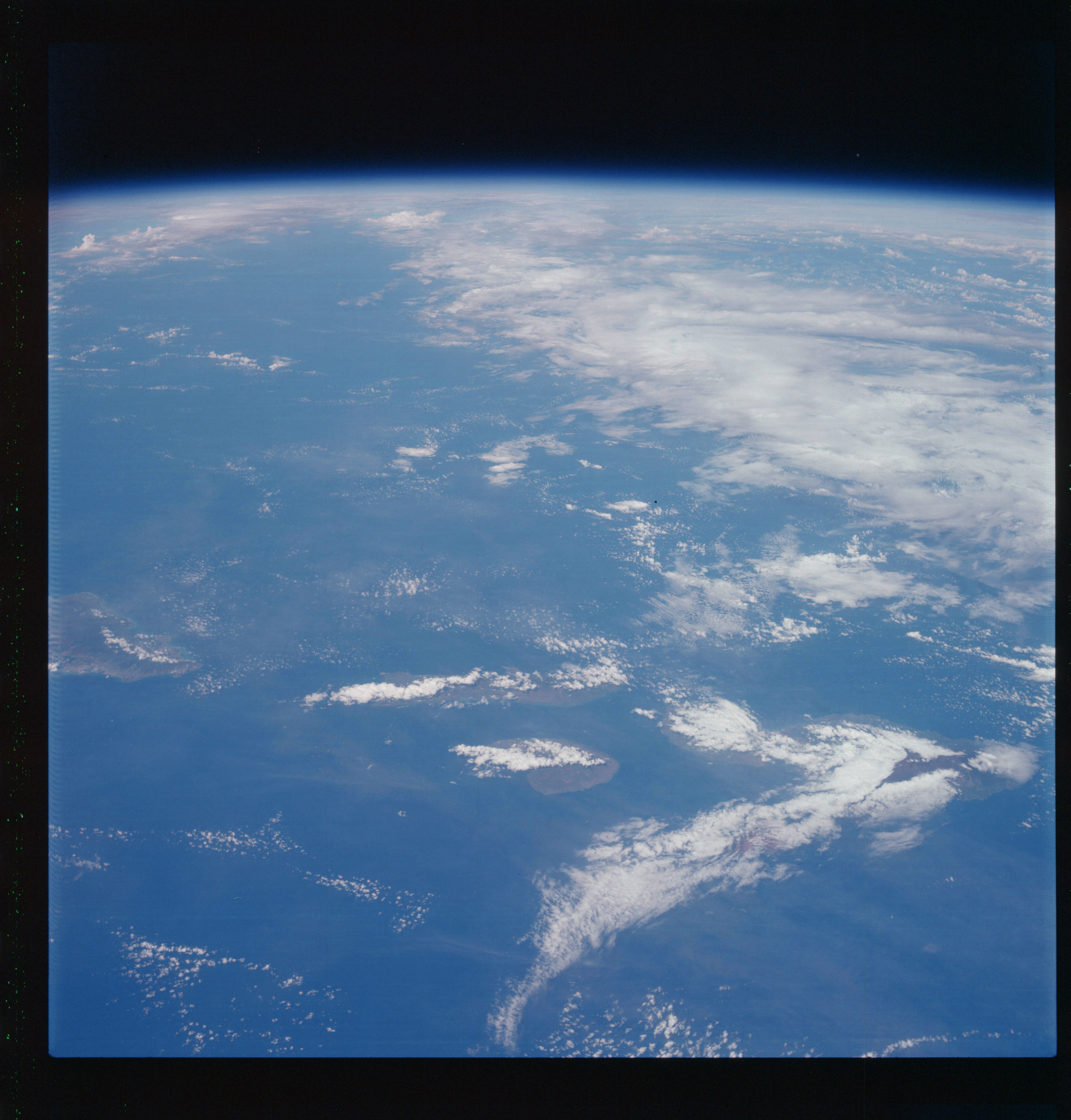 | AS07-07-1743 GEOGRAPHY/CARTOGRAPHY: Islands, Oahu, Molokai, Lanai, Maui, Kaho’olawe. GEOLOGY/HYDROLOGY: Volcanic mountains. METEOROLOGY: Cumulus, thick cirrus. OCEANOGRAPHY: Coastline. Image credit: Image Science and Analysis Laboratory, NASA-Johnson Space Center. |
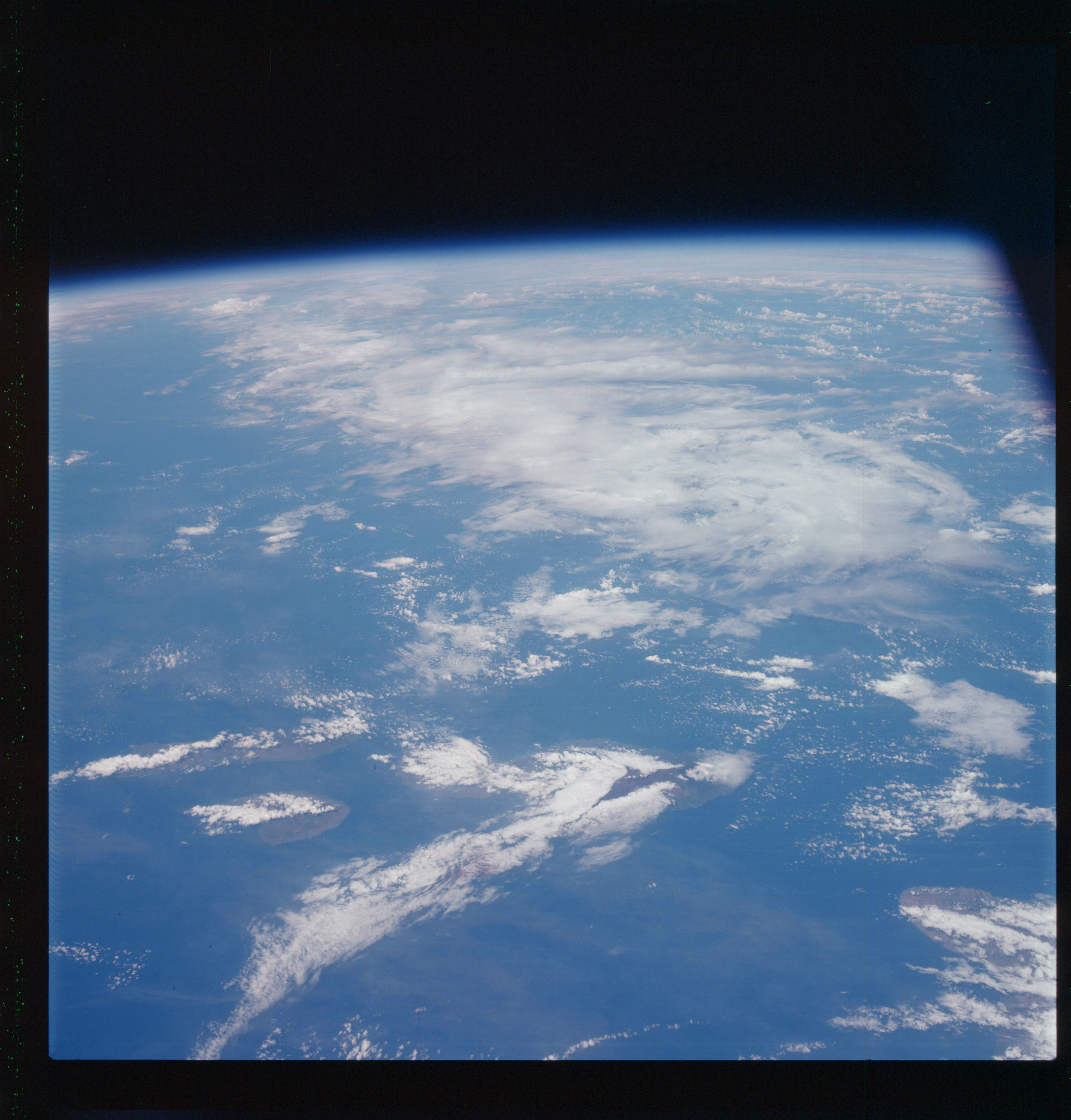 | AS07-07-1744 GEOGRAPHY/CARTOGRAPHY: Hawaiian Islands, Molokai, Lanai, Maui, Kaho’olawe, and Hawaii. GEOLOGY/HYDROLOGY: Volcanics. METEOROLOGY: Cumulus, alto-cumulus, cirrus. OCEANOGRAPHY: Island coastlines. Image credit: Image Science and Analysis Laboratory, NASA-Johnson Space Center. |
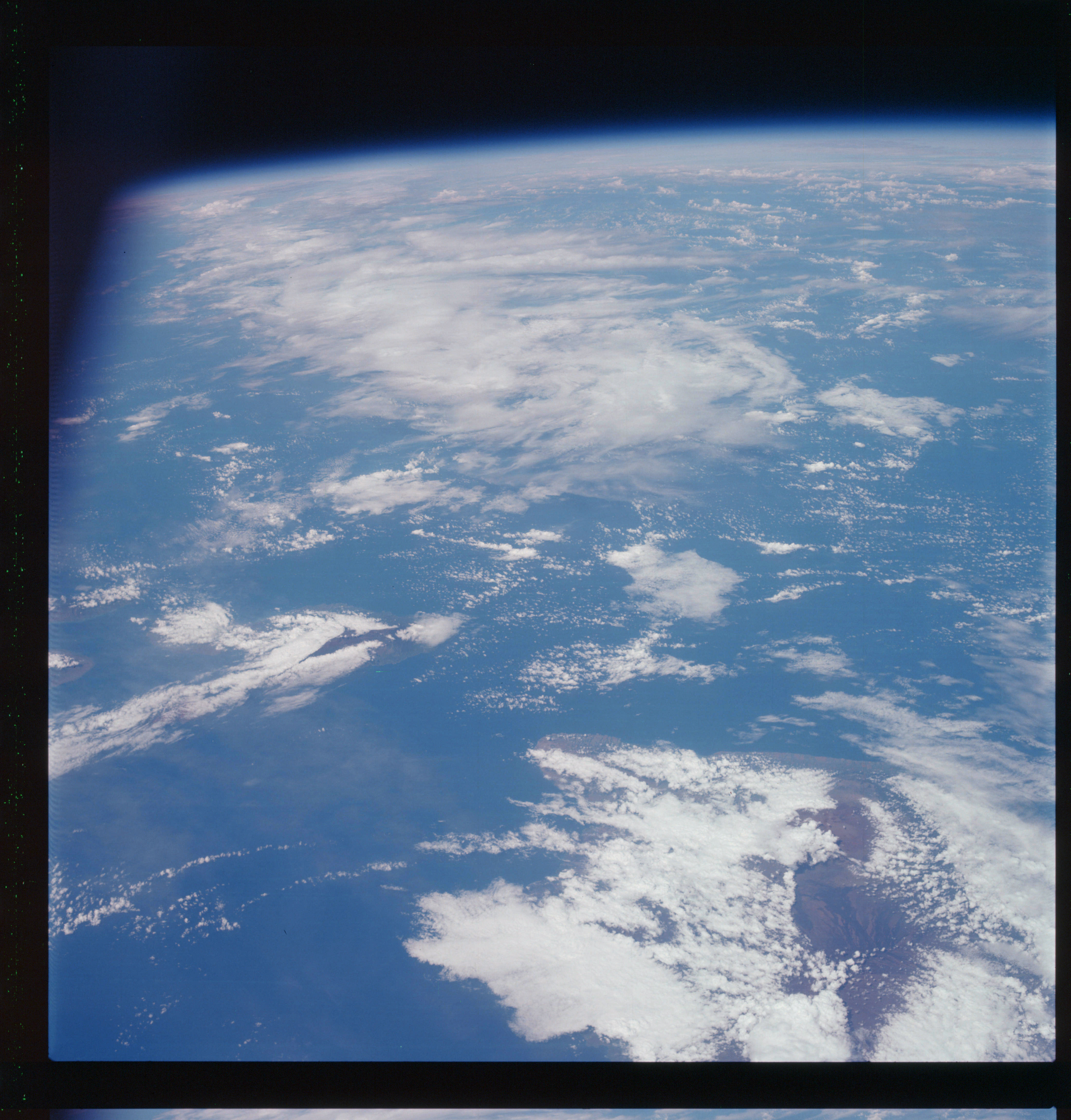 | AS07-07-1745 GEOGRAPHY/CARTOGRAPHY: Island of Hawaii. GEOLOGY/HYDROLOGY: Volcanics, dendritic drainage. METEOROLOGY: Cumulus, alto-cumulus, cirrus. OCEANOGRAPHY: Island coastlines. Image credit: Image Science and Analysis Laboratory, NASA-Johnson Space Center. |
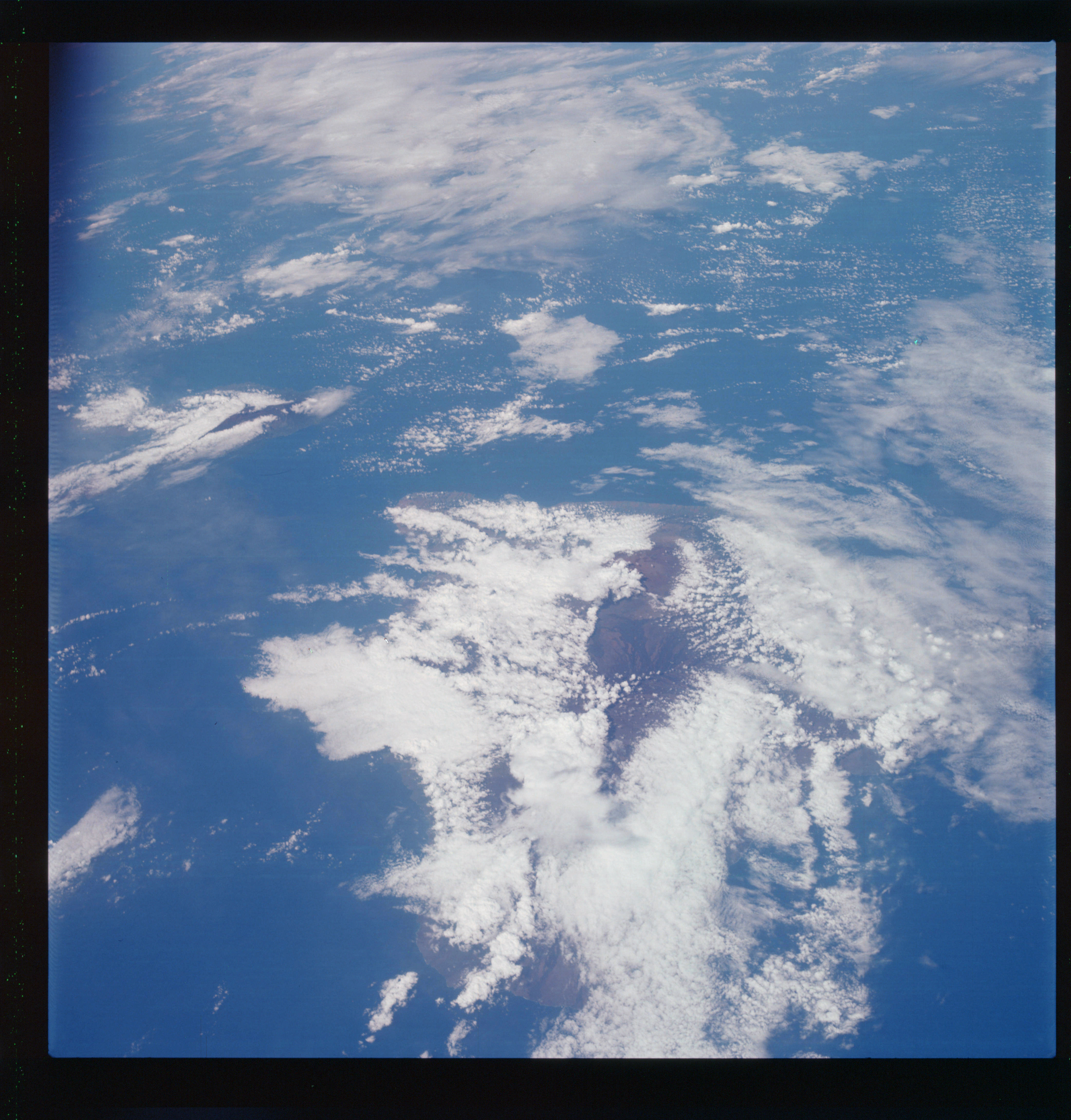 | AS07-07-1746 GEOGRAPHY/CARTOGRAPHY: Island of Hawaii. GEOLOGY/HYDROLOGY: Volcanics, dendritic drainage. METEOROLOGY: Cumulus, alto-cumulus, cirrus. OCEANOGRAPHY: Island coastlines. Image credit: Image Science and Analysis Laboratory, NASA-Johnson Space Center. |
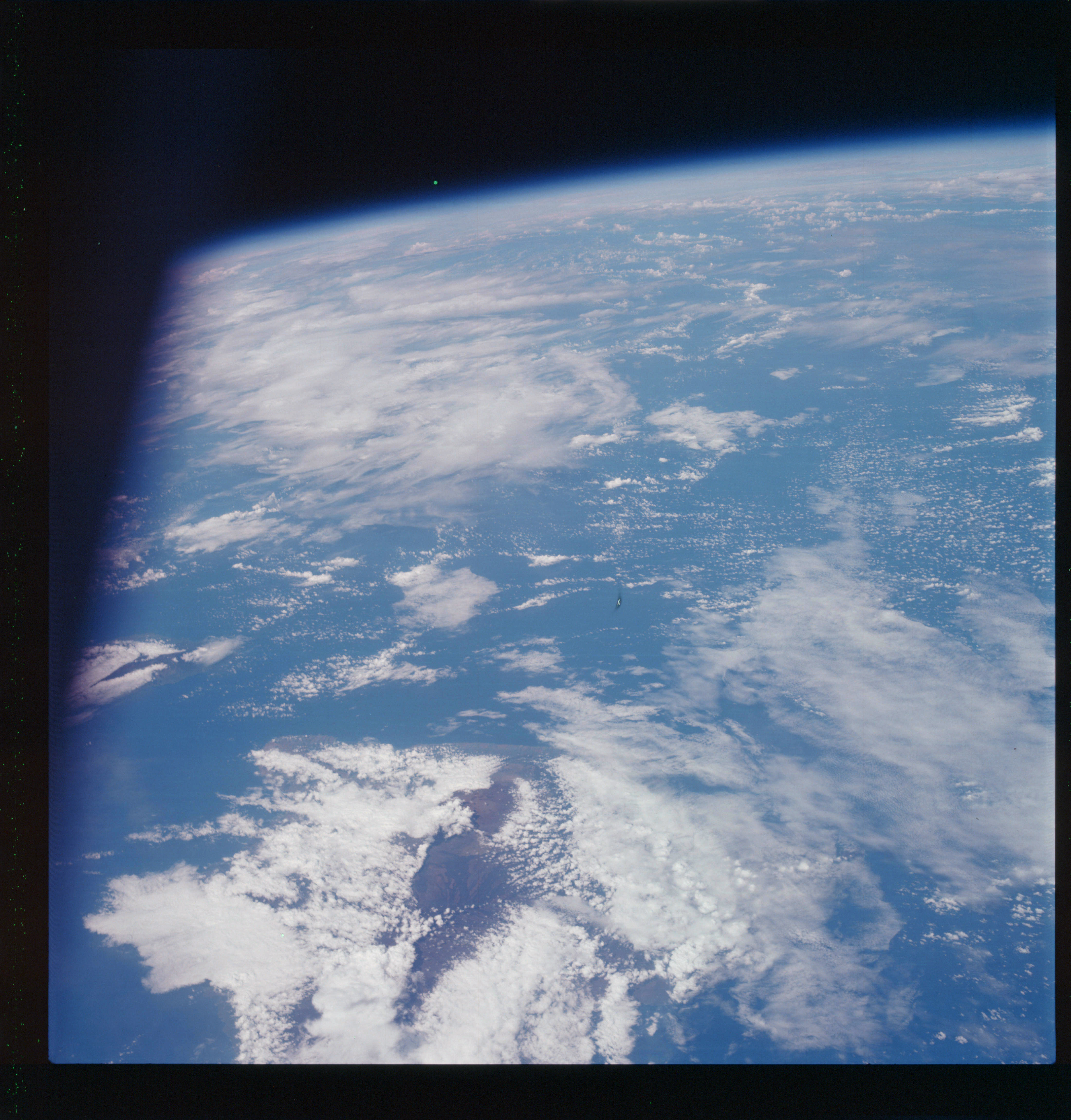 | AS07-07-1747 GEOGRAPHY/CARTOGRAPHY: Island of Hawaii. GEOLOGY/HYDROLOGY: Volcanics, dendritic drainage. METEOROLOGY: Cumulus, alto-cumulus, cirrus. OCEANOGRAPHY: Island coastlines. Image credit: Image Science and Analysis Laboratory, NASA-Johnson Space Center. |
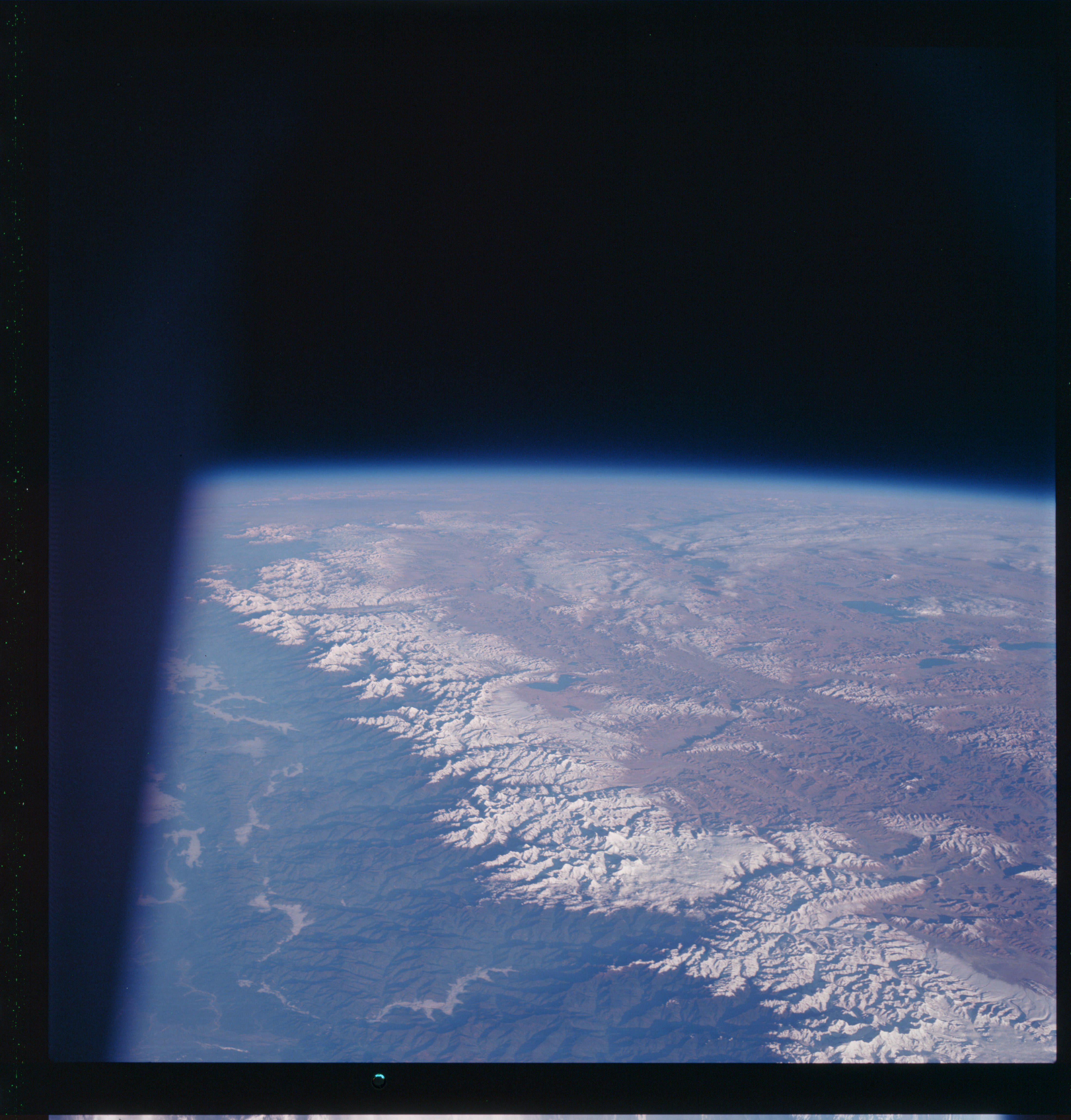 | AS07-07-1748 GEOGRAPHY/CARTOGRAPHY: India, Nepal, South China, Himalayas, Mt. Everest, Ganges R., Ghaghara R., Lakes Tangra, Tsho and Terinam Tsho. GEOLOGY/HYDROLOGY: Complex mountain system, with perennial and intermittent streams. FORESTRY: Dense evergreen forests on southern slopes. Image credit: Image Science and Analysis Laboratory, NASA-Johnson Space Center. |
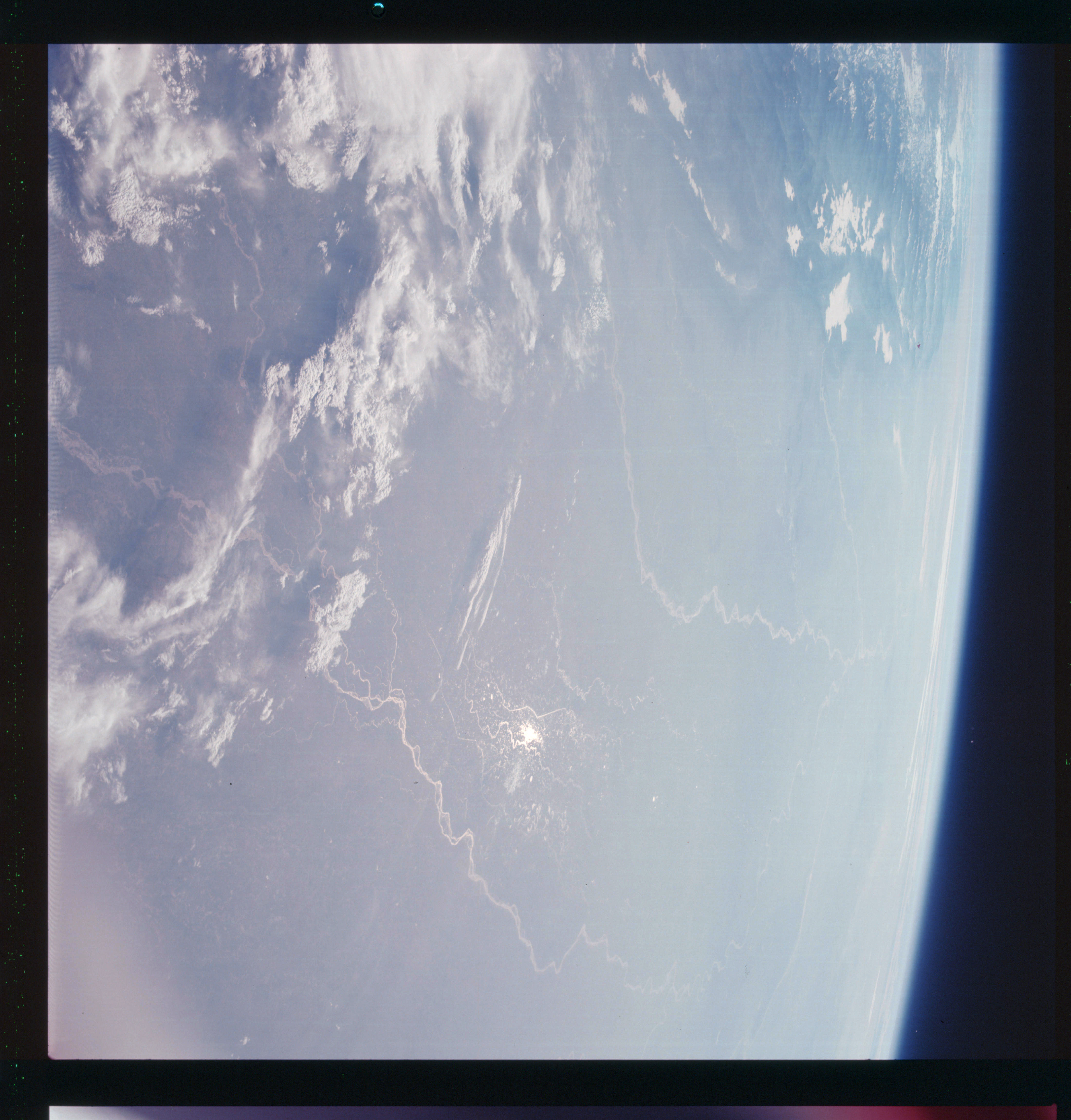 | AS07-07-1749 GEOGRAPHY/CARTOGRAPHY: India, Nepal, South China, Himalayan Foothills, Ganges Plain, Ghaghara River, Towns of Lucknow and Shanjahanpur. (Light) GEOLOGY/HYDROLOGY: Interior elevated plains with meandering perennial drainage and flood plain. METEOROLOGY: Strato-cumulus, cirrus. FORESTRY: Scattered to semi dense stands of mixed species. Image credit: Image Science and Analysis Laboratory, NASA-Johnson Space Center. |
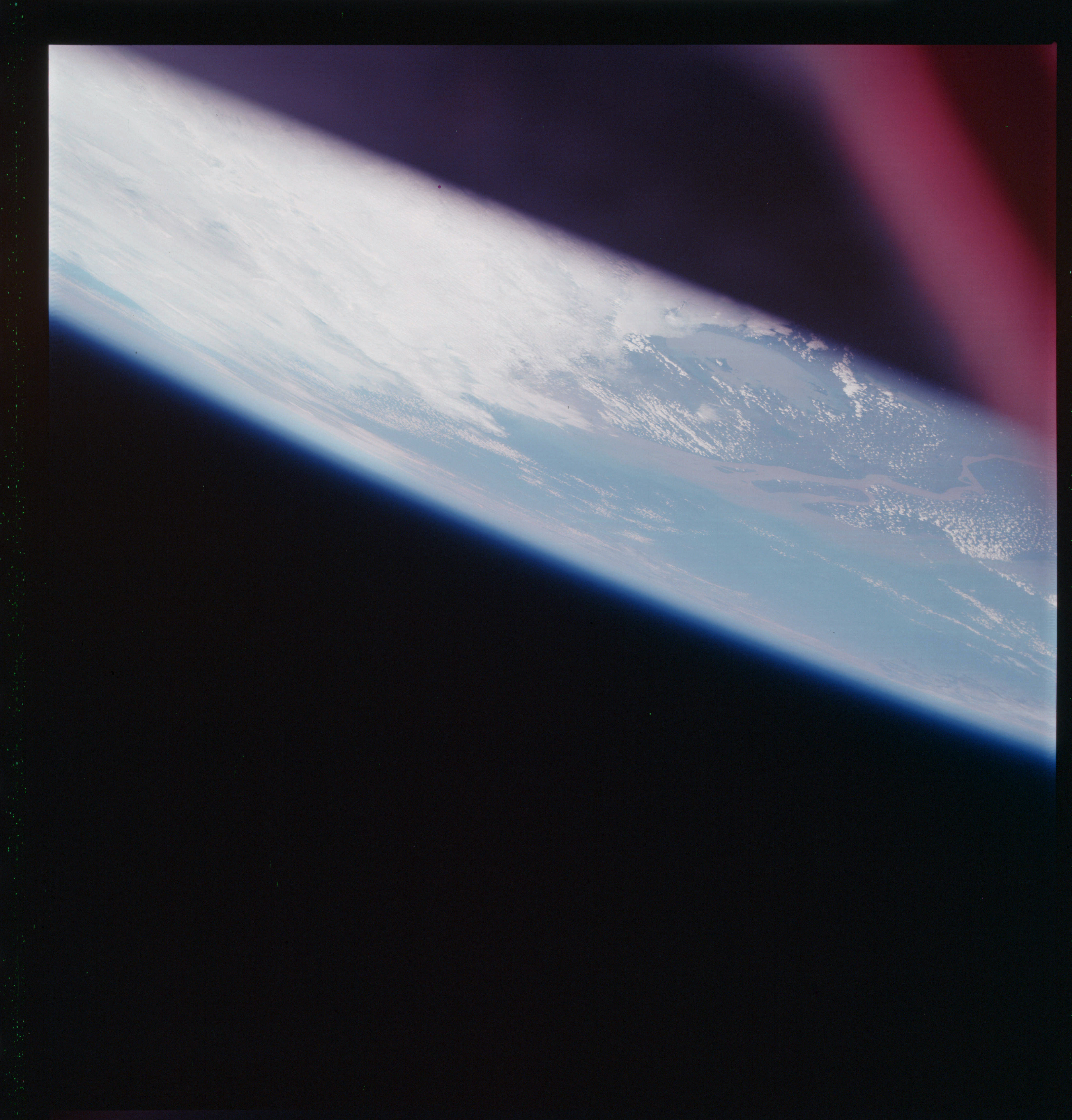 | AS07-07-1750 GEOGRAPHY/CARTOGRAPHY: China, Yangtze River, Lake Tal Hu, Shanghai, East China Sea. (Light) GEOLOGY/HYDROLOGY: Delta and sedimentation outflow from the meandering Yangtze. METEOROLOGY: Cumulus, thick cirrus. Image credit: Image Science and Analysis Laboratory, NASA-Johnson Space Center. |
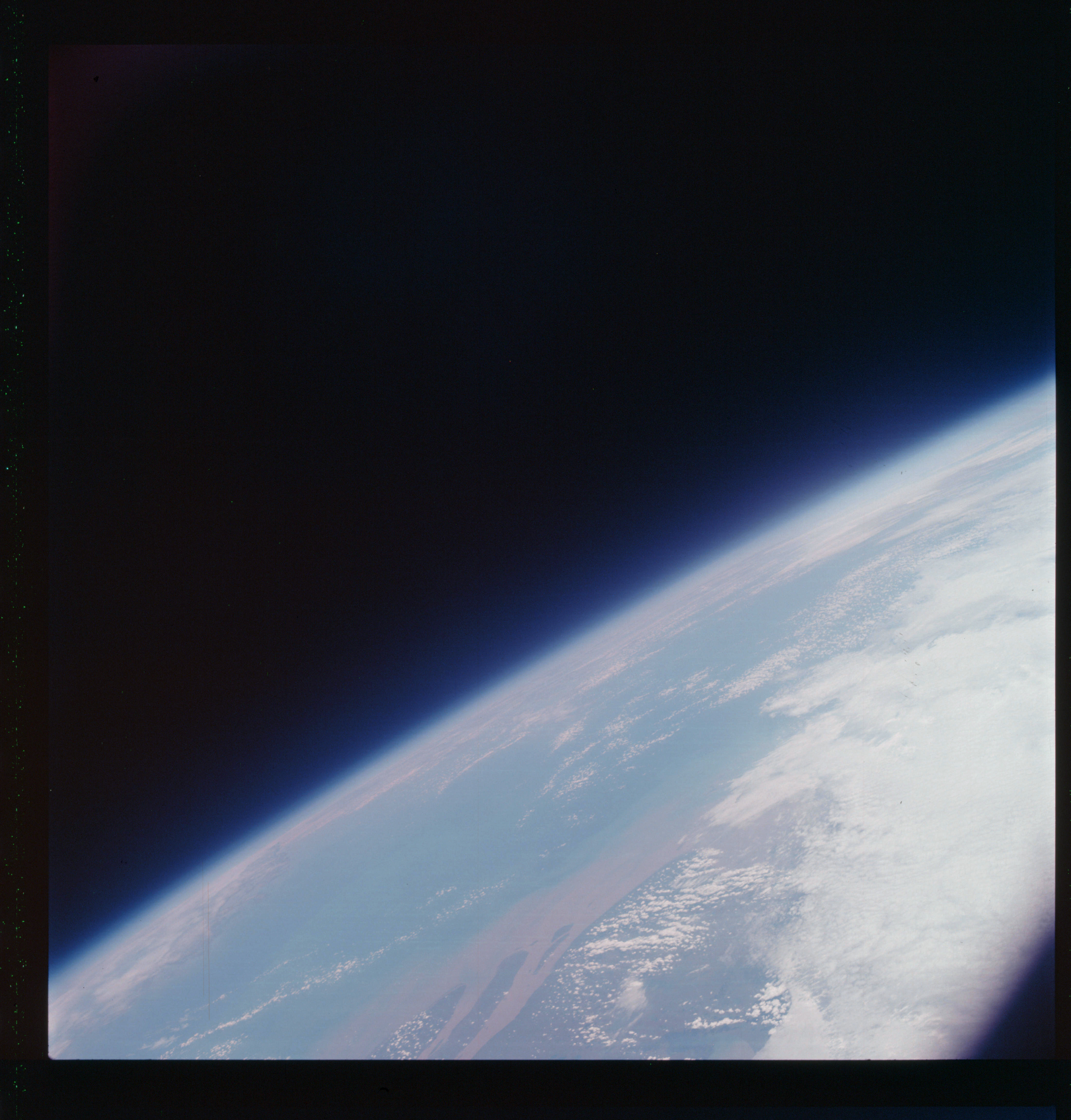 | AS07-07-1751 GEOGRAPHY/CARTOGRAPHY: Shanghai, Yangtze River, East China Sea. (Light) METEOROLOGY: Cumulus, thick cirrus. OCEANOGRAPHY: Sediments polluting offshore water showing direction and dispersion of littoral drift. Nearshore current setting southwesterly. Image credit: Image Science and Analysis Laboratory, NASA-Johnson Space Center. |
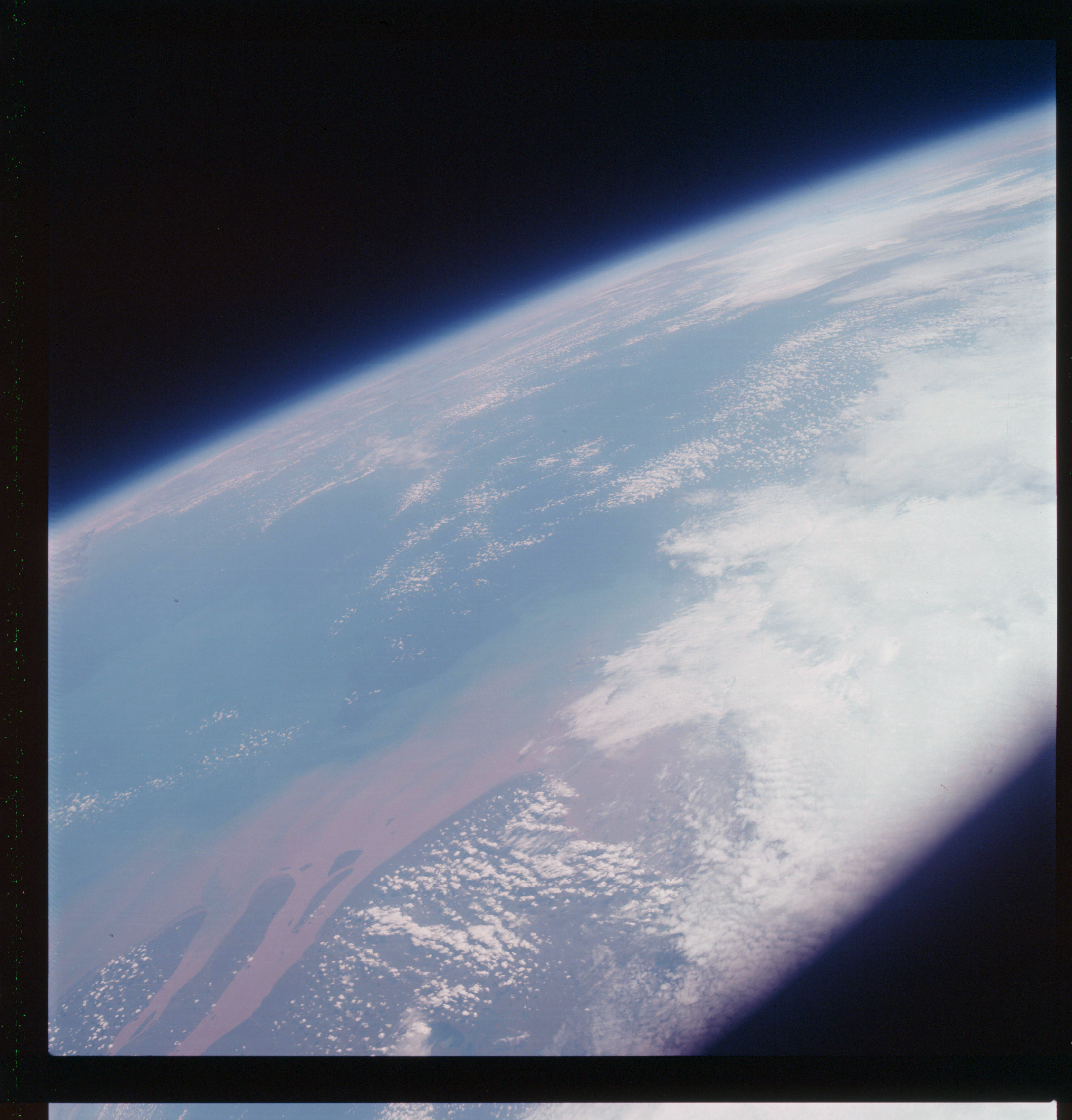 | AS07-07-1752 GEOGRAPHY/CARTOGRAPHY: China, Shanghai, Minttane, Chung Ming Tao Island, at Yangtze River Mouth. (Light) GEOLOGY/HYDROLOGY: Coastal Flood Plain. METEOROLOGY: Cumulus, strato-cumulus, cirrus. OCEANOGRAPHY: Sediments polluting offshore water with nearshore current setting southwesterly. Image credit: Image Science and Analysis Laboratory, NASA-Johnson Space Center. |
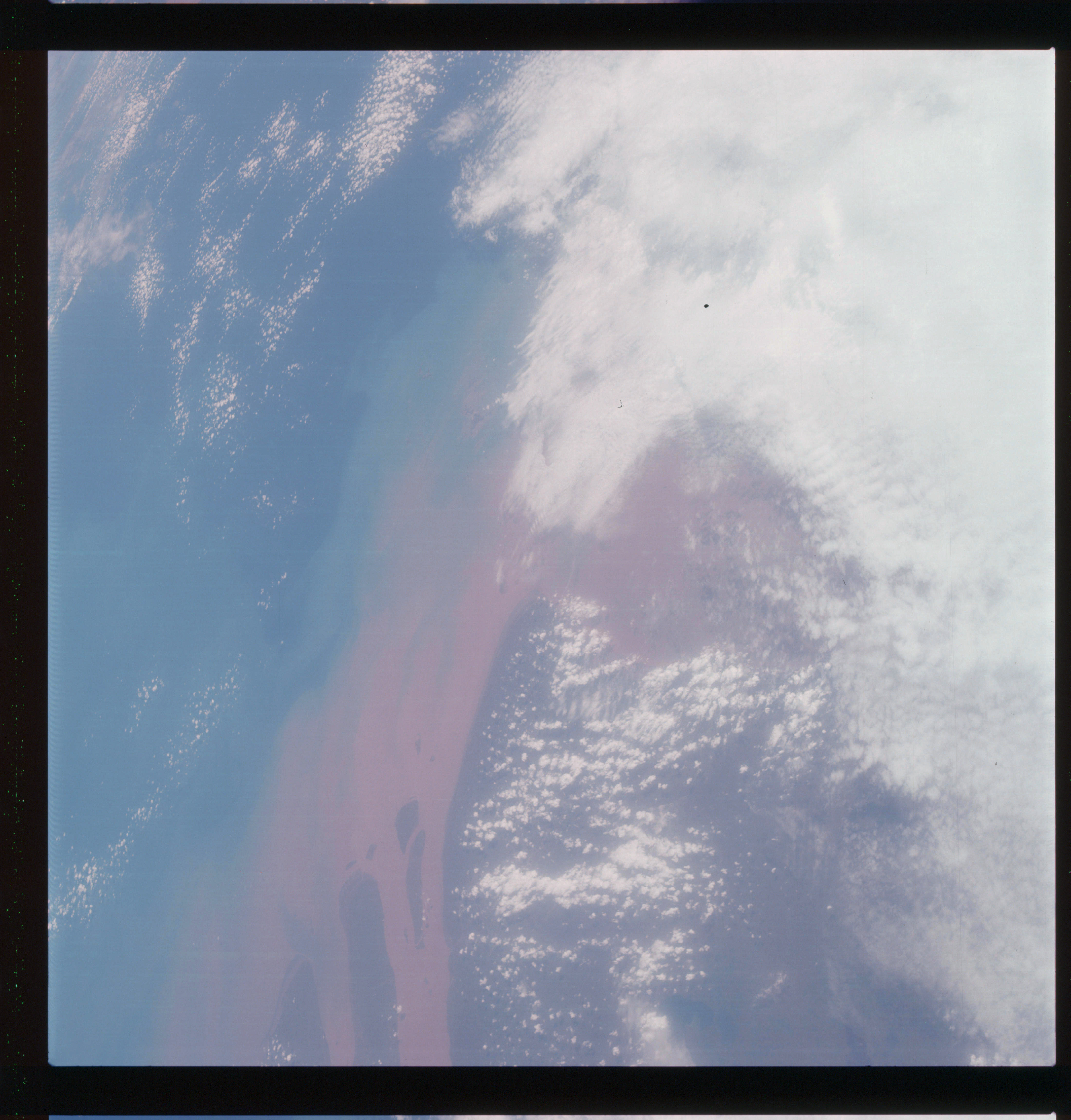 | AS07-07-1753 GEOGRAPHY/CARTOGRAPHY: China, Mouth of the Yangtze River, East China Sea. (Light) GEOLOGY/HYDROLOGY: Coastal Flood Plain. METEOROLOGY: Cumulus, strato-cumulus, cirrus. OCEANOGRAPHY: Sediments polluting offshore water showing definite direction and dispersion patterns to the southwest by nearshore currents. Image credit: Image Science and Analysis Laboratory, NASA-Johnson Space Center. |
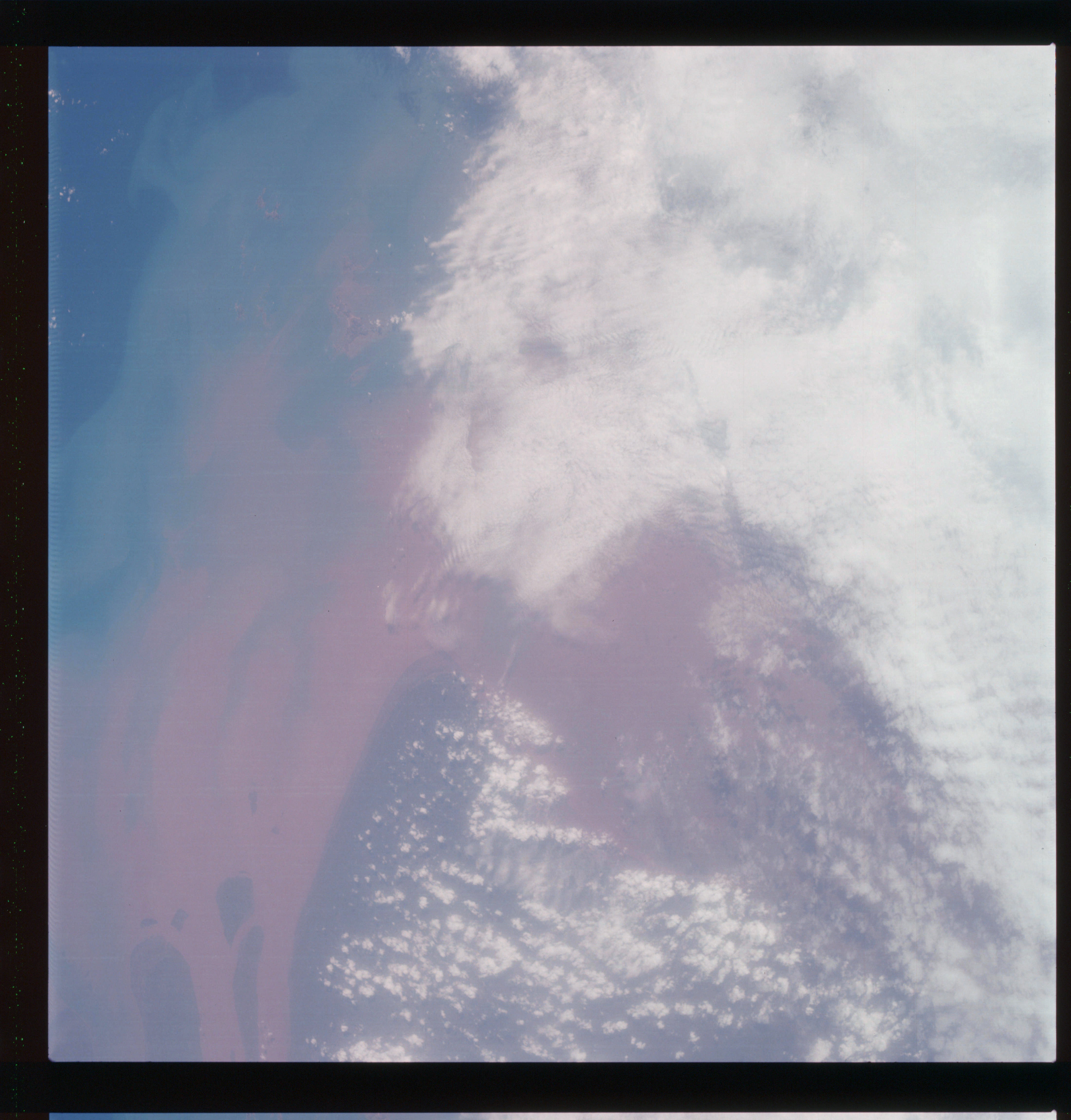 | AS07-07-1754 GEOGRAPHY/CARTOGRAPHY: China, Mouth of the Yangtze River, East China Sea. (Light) GEOLOGY/HYDROLOGY: Coastal Flood Plain. METEOROLOGY: Cumulus, thick cirrus. OCEANOGRAPHY: Sediments outflowing from Yangtze River in a southwesterly direction. Image credit: Image Science and Analysis Laboratory, NASA-Johnson Space Center. |
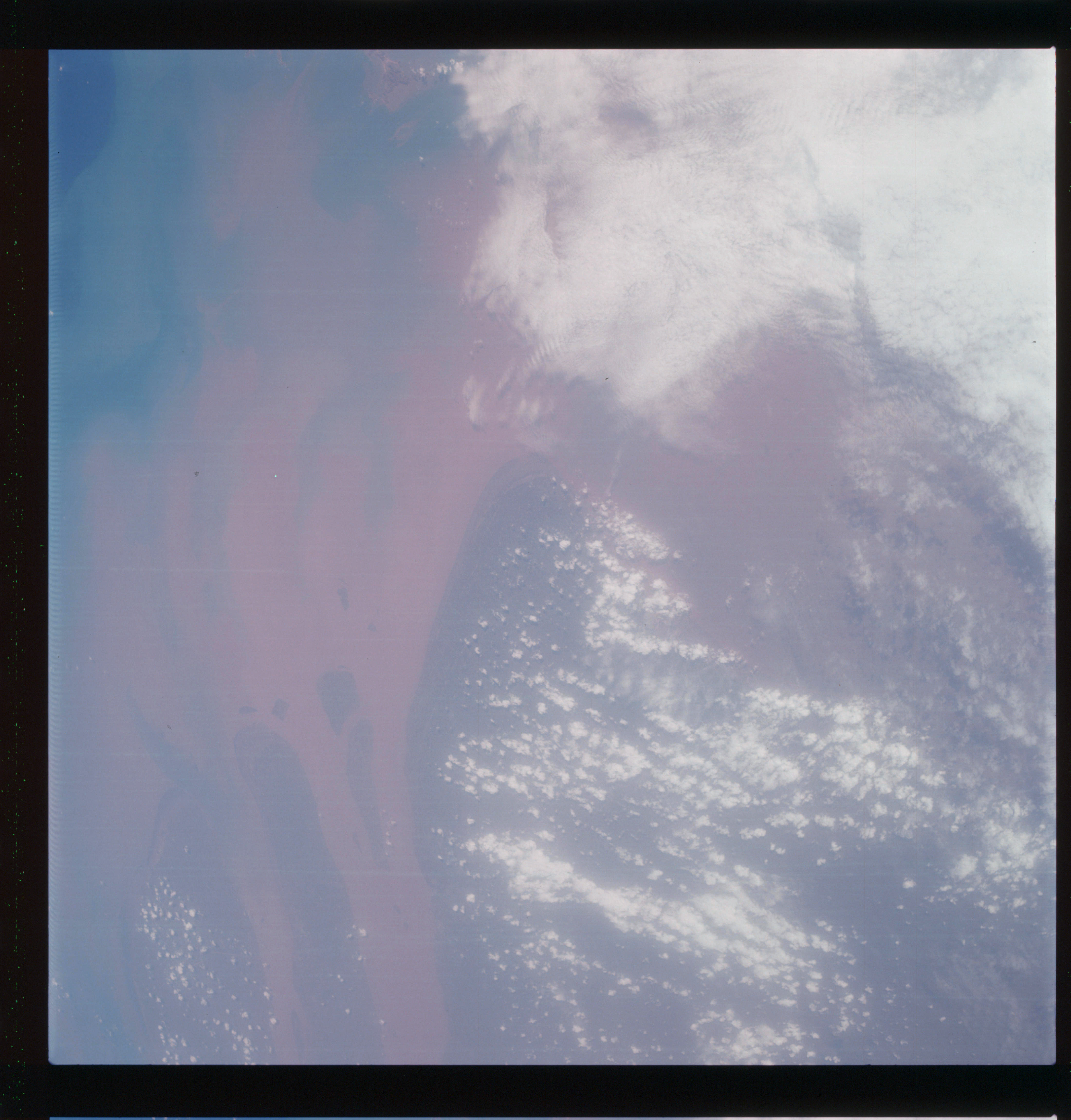 | AS07-07-1755 GEOGRAPHY/CARTOGRAPHY: China, Mouth of the Yangtze River, East China Sea, Shanghai, Hang Chow Bay. (Light) GEOLOGY/HYDROLOGY: Coastal Flood Plain. METEOROLOGY: Cumulus, thick cirrus. OCEANOGRAPHY: Definite gradation of sedimentary outflow from the Yangtze River Mouth. Image credit: Image Science and Analysis Laboratory, NASA-Johnson Space Center. |
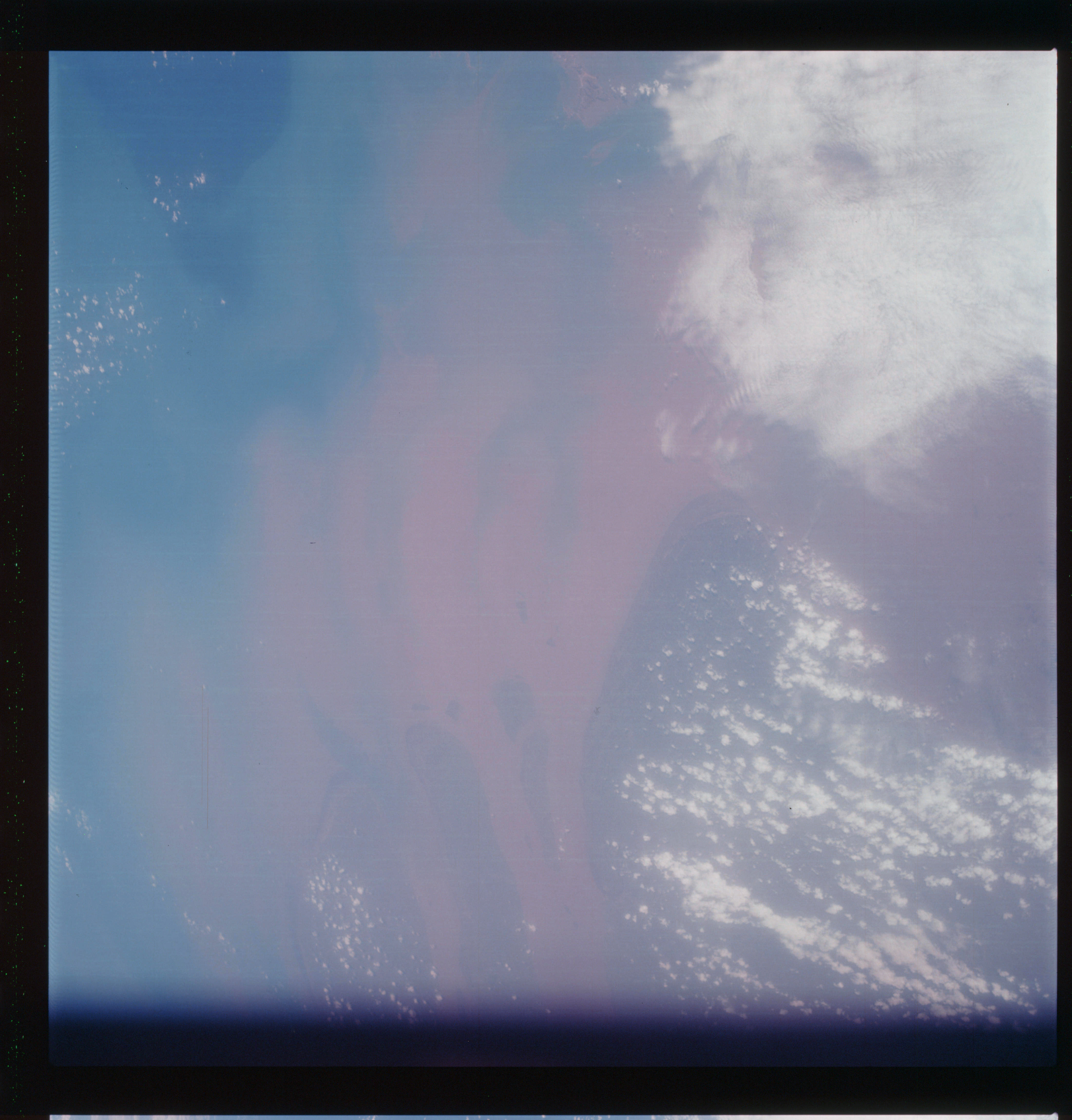 | AS07-07-1756 GEOGRAPHY/CARTOGRAPHY: China, Mouth of the Yangtze River, East China Sea. (Light) GEOLOGY/HYDROLOGY: Coastal Flood Plain. METEOROLOGY: Cumulus, thick cirrus. OCEANOGRAPHY: Definite gradation of sedimentary outflow from the Yangtze River Mouth, nearshore current setting in a southwesterly direction. Image credit: Image Science and Analysis Laboratory, NASA-Johnson Space Center. |
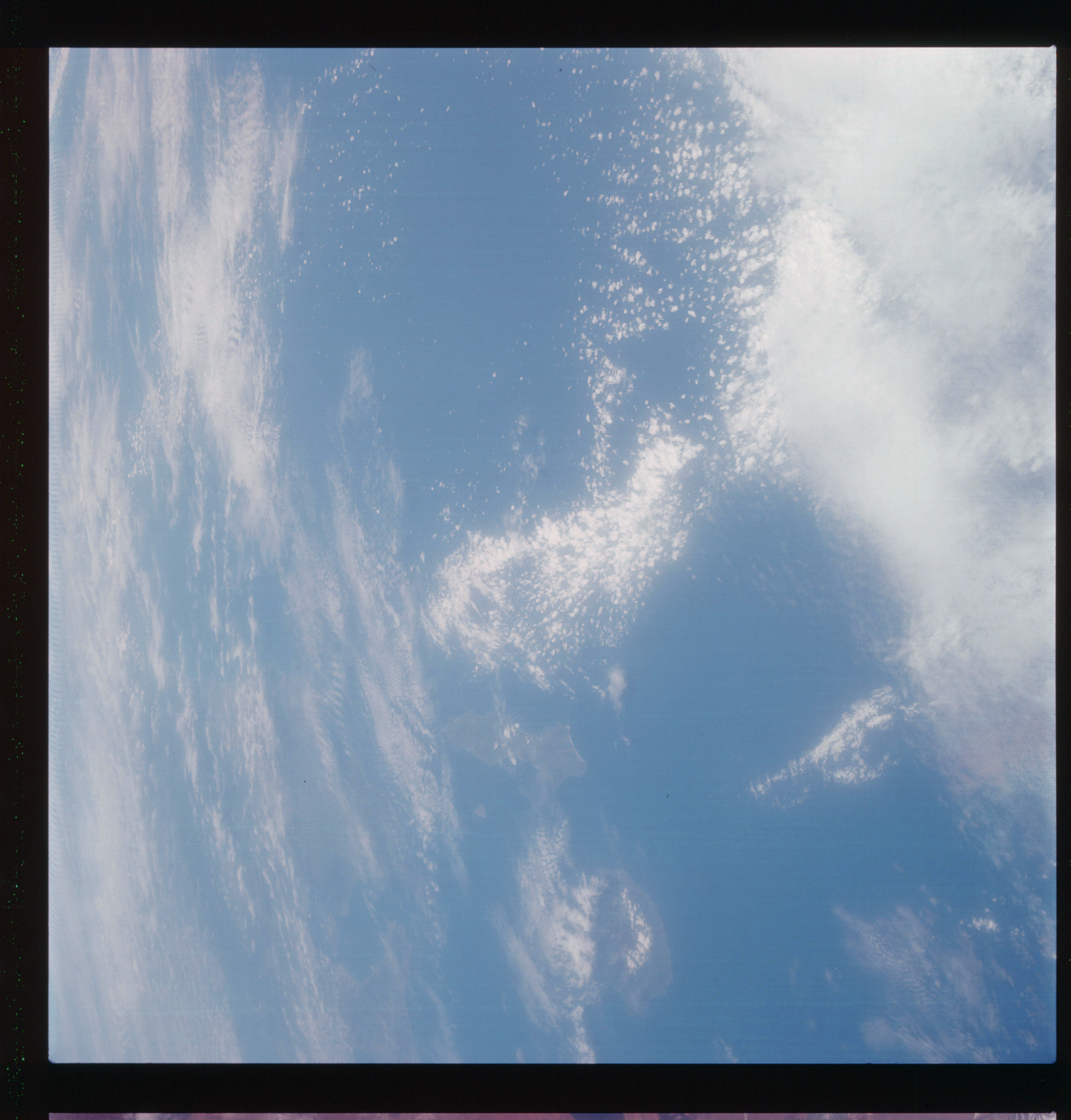 | AS07-07-1757 GEOGRAPHY/CARTOGRAPHY: Southern Japan, Kagoshima Bay and Islands of Yakushima Tanegaishima, Pacific Ocean and East China Sea. (Light) GEOLOGY/HYDROLOGY: Volcanics. METEOROLOGY: Cumulus, thick cirrus. Image credit: Image Science and Analysis Laboratory, NASA-Johnson Space Center. |
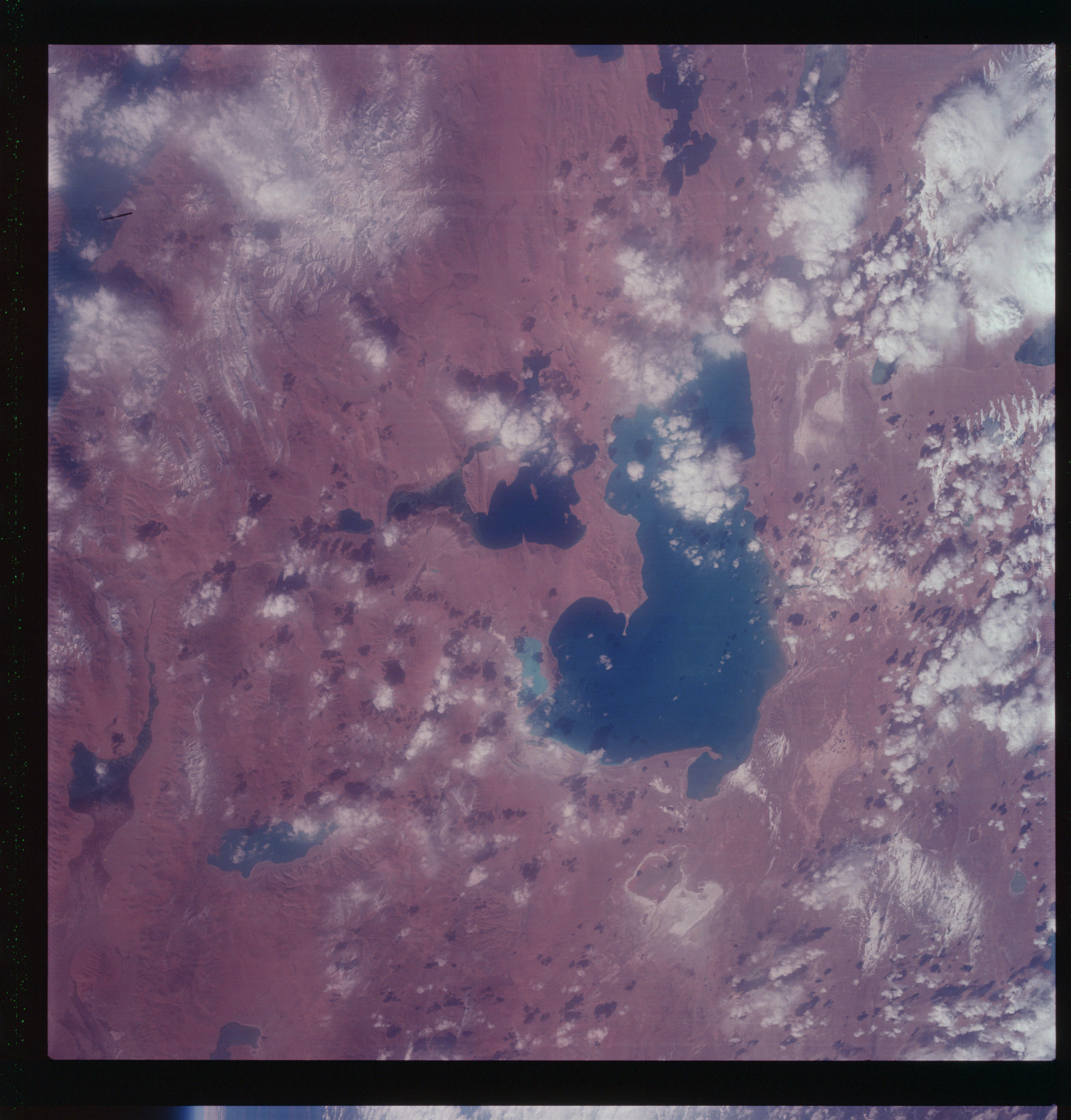 | AS07-07-1758 GEOGRAPHY/CARTOGRAPHY: China, Plateau of Tibet, Lake Seling Taho and Nagtsong Tsho Lake. GEOLOGY/HYDROLOGY: Sedimentary plateau with perennial lakes and snow covered hills. METEOROLOGY: Towering cumulus. Image credit: Image Science and Analysis Laboratory, NASA-Johnson Space Center. |
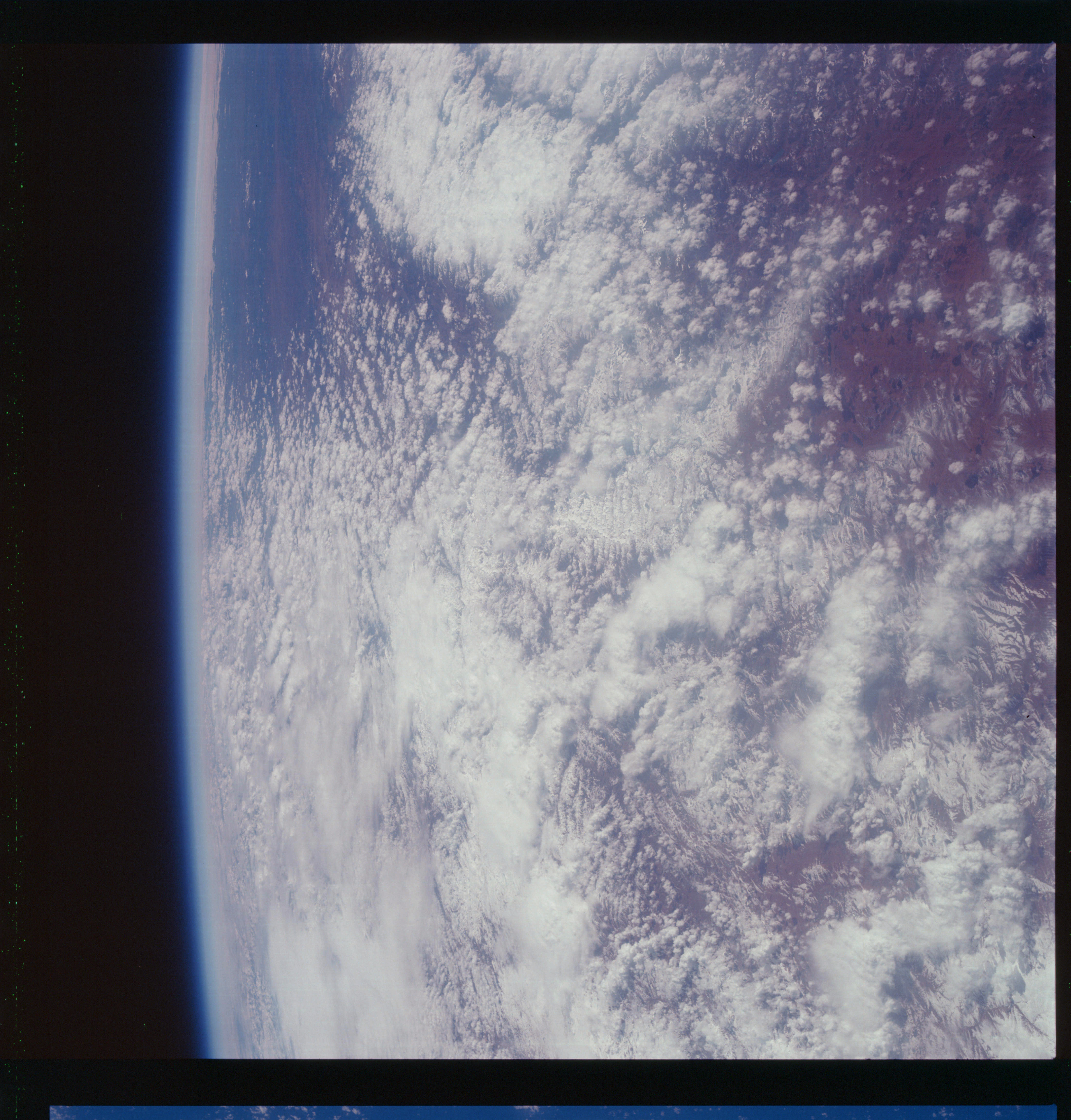 | AS07-07-1759 GEOGRAPHY/CARTOGRAPHY: Himalayas. METEOROLOGY: Towering cumulus, alto-cumulus, cirrus. Image credit: Image Science and Analysis Laboratory, NASA-Johnson Space Center. |
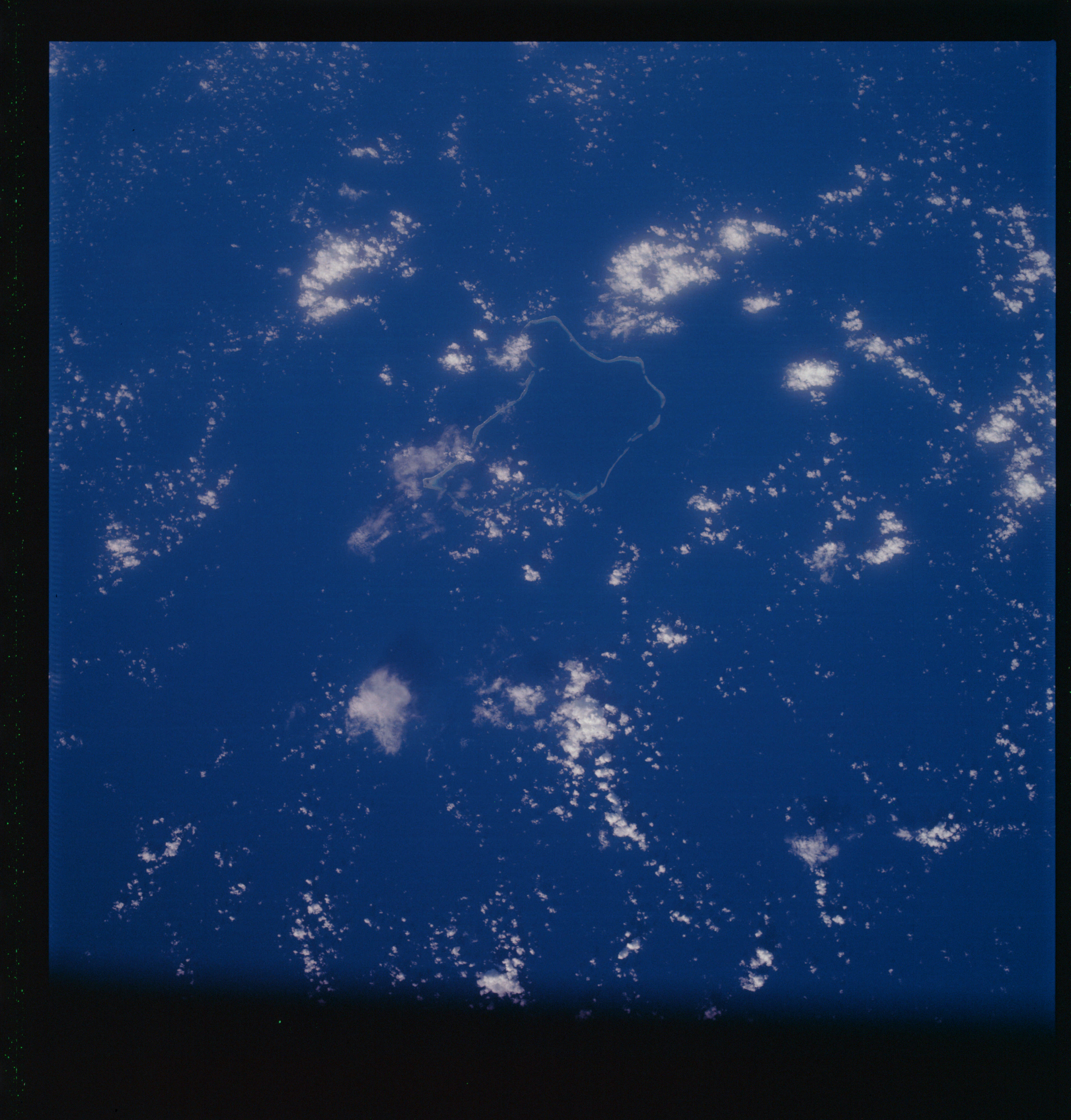 | AS07-07-1760 GEOGRAPHY/CARTOGRAPHY: Oroluk Lagoon and Caroline Islands in the Pacific Ocean. (Dark) METEOROLOGY: Small cumulus, towering cumulus. OCEANOGRAPHY: Coral atoll with color differentiation. Image credit: Image Science and Analysis Laboratory, NASA-Johnson Space Center. |
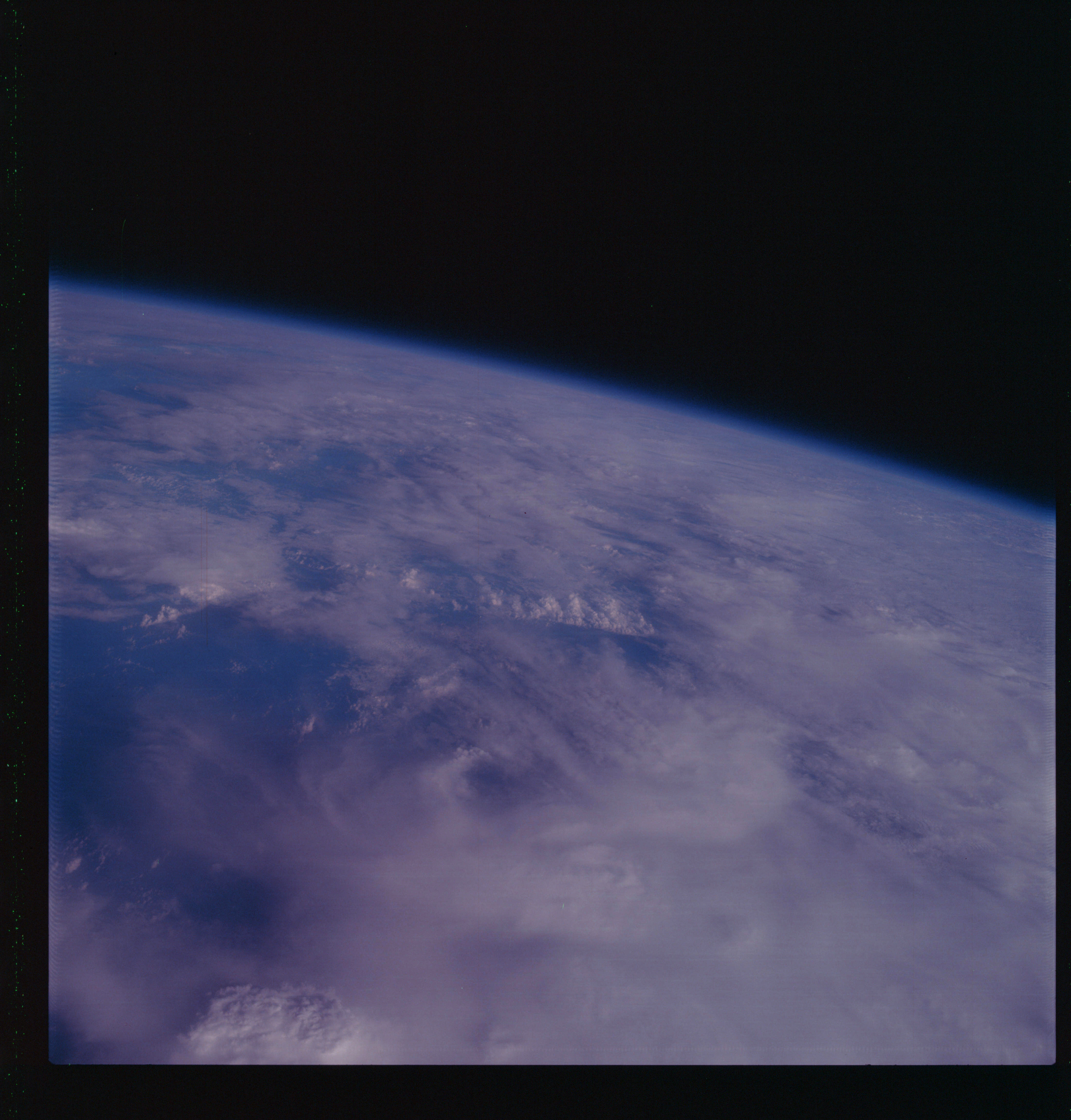 | AS07-07-1761 METEOROLOGY: Cumulus, alto-cumulus, cirrus. (Dark) Image credit: Image Science and Analysis Laboratory, NASA-Johnson Space Center. |
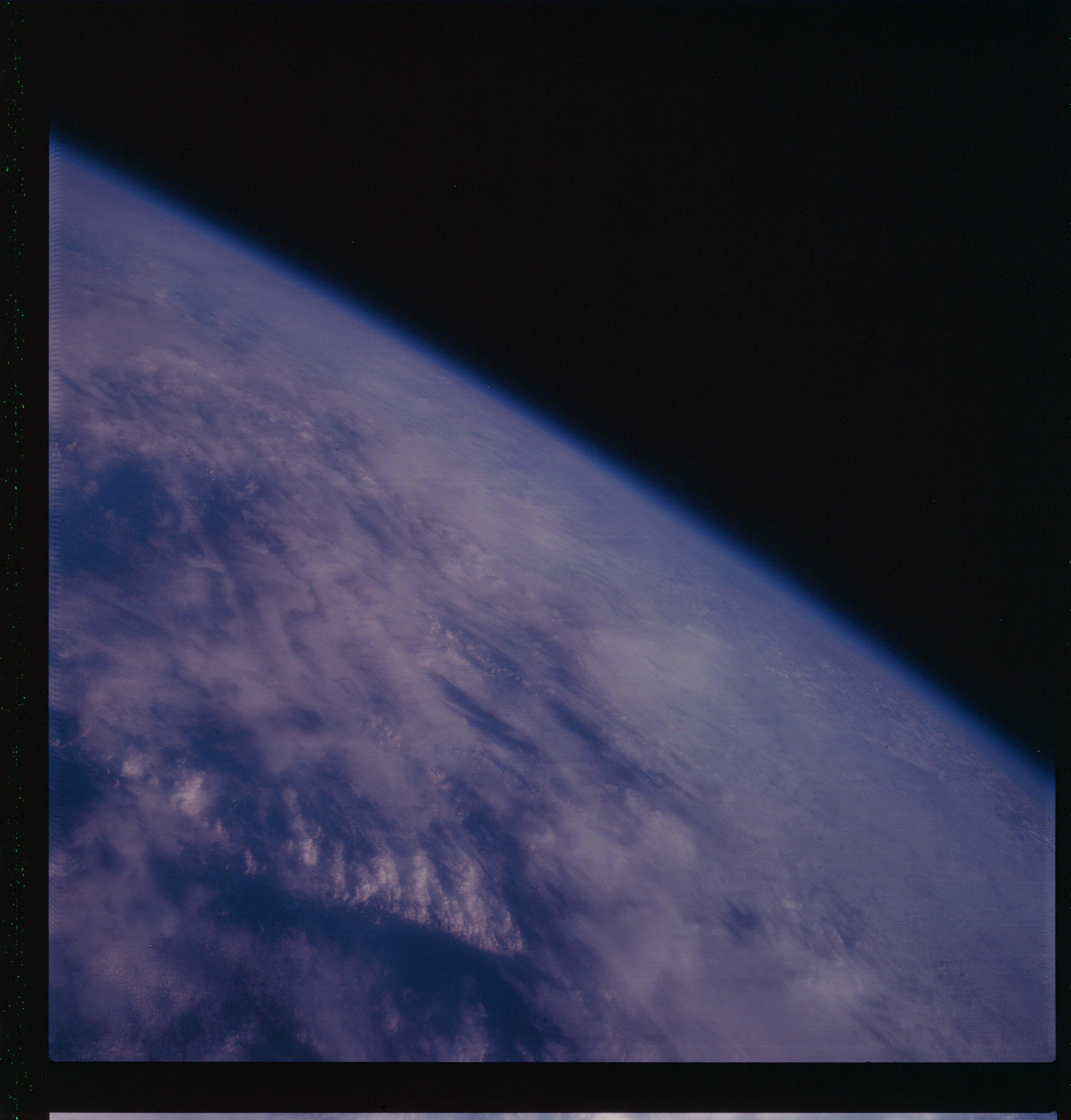 | AS07-07-1762 METEOROLOGY: Towering cumulus, cirrus. (Dark) Image credit: Image Science and Analysis Laboratory, NASA-Johnson Space Center. |
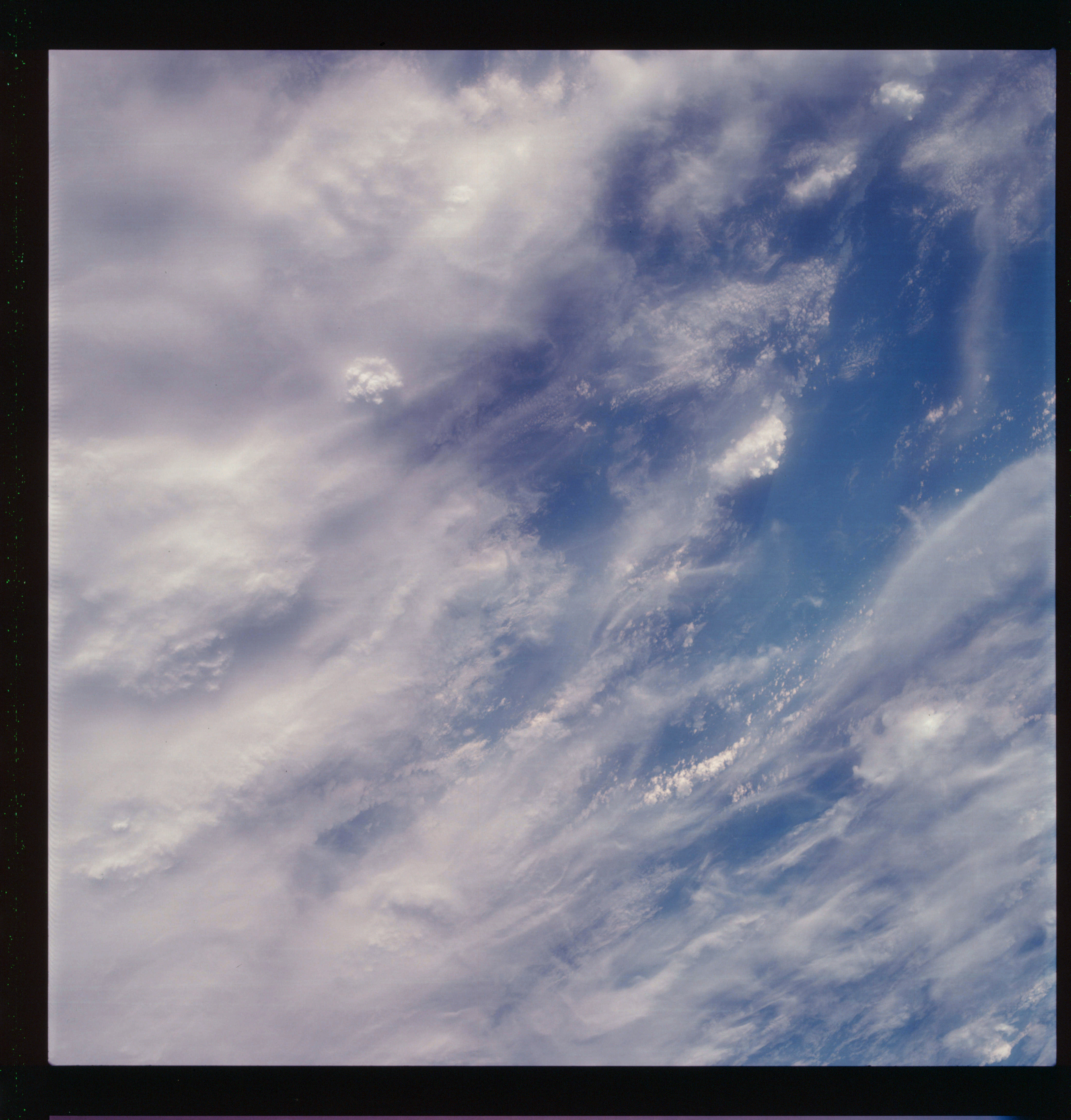 | AS07-07-1763 METEOROLOGY: Towering cumulus, cirrus. (Dark) Image credit: Image Science and Analysis Laboratory, NASA-Johnson Space Center. |
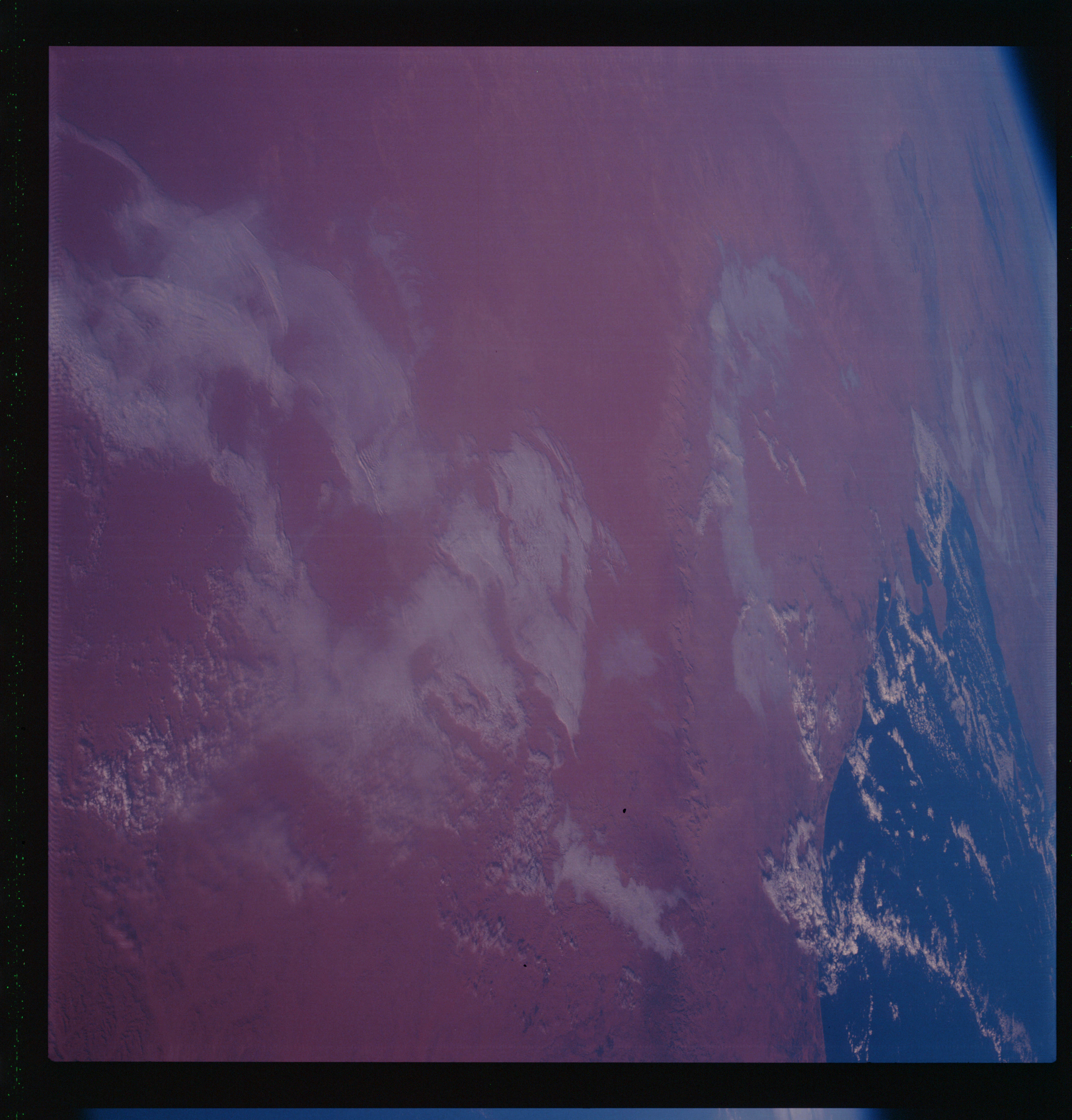 | AS07-07-1764 GEOGRAPHY/CARTOGRAPHY: Tunisia Gulfo de Gabis (Dark) GEOLOGY/HYDROLOGY: Erg plains and coastal plain adjacent to the Gulf. METEOROLOGY: Cumulus. Image credit: Image Science and Analysis Laboratory, NASA-Johnson Space Center. |
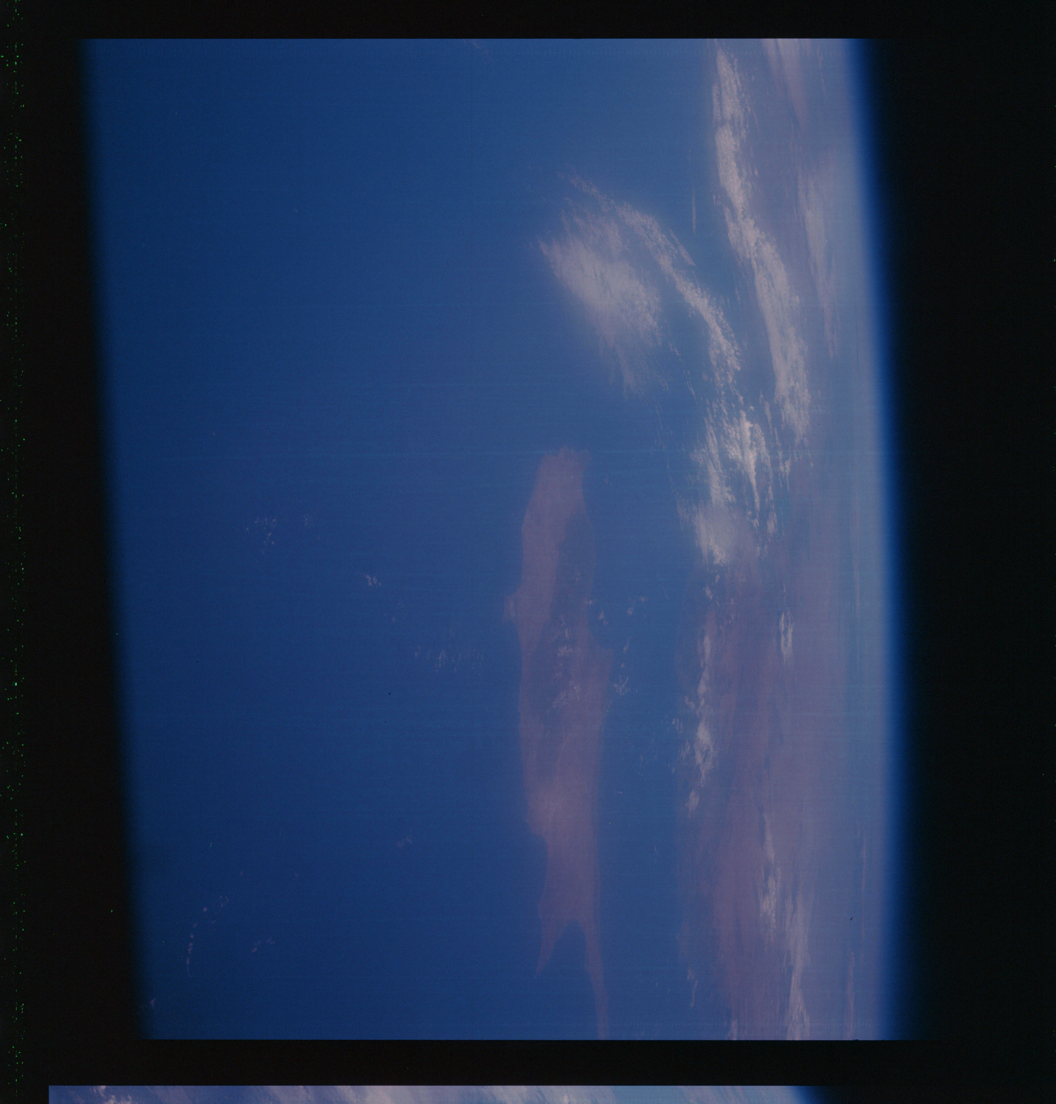 | AS07-07-1765 GEOGRAPHY/CARTOGRAPHY: Cyprus, Turkey, Mediterranean Sea. (Dark) METEOROLOGY: Cumulus, cirrus. Image credit: Image Science and Analysis Laboratory, NASA-Johnson Space Center. |
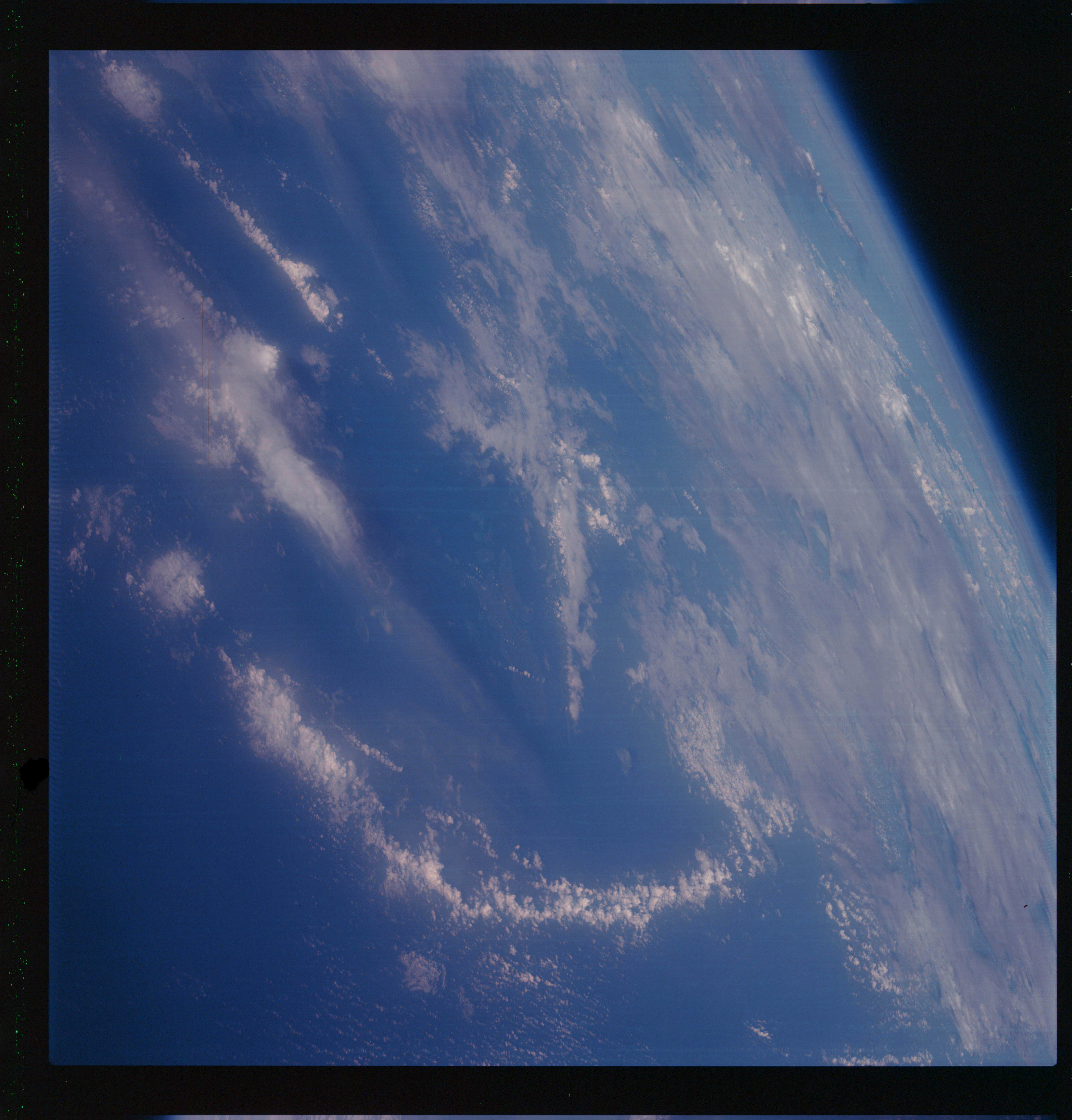 | AS07-07-1766 GEOGRAPHY/CARTOGRAPHY: Kepuluan Kai, Banda Sea, North of Australia. (Dark) METEOROLOGY: Cumulus, cirrus. Image credit: Image Science and Analysis Laboratory, NASA-Johnson Space Center. |
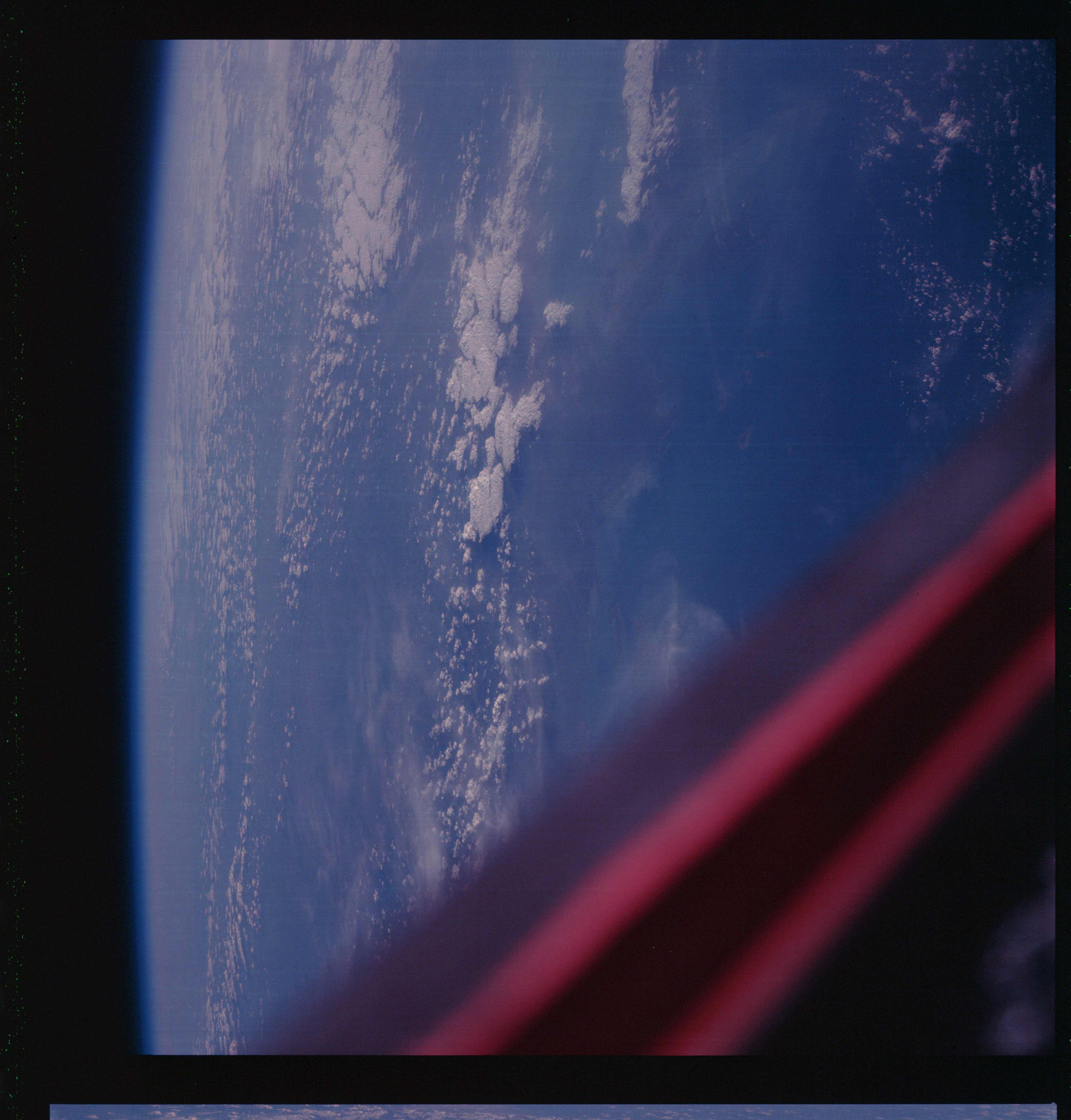 | AS07-07-1767 GEOGRAPHY/CARTOGRAPHY: Australia, Northern Territory, Van Deiman Gulf. (Dark) METEOROLOGY: Cumulus, strato-cumulus, cirrus. Image credit: Image Science and Analysis Laboratory, NASA-Johnson Space Center. |
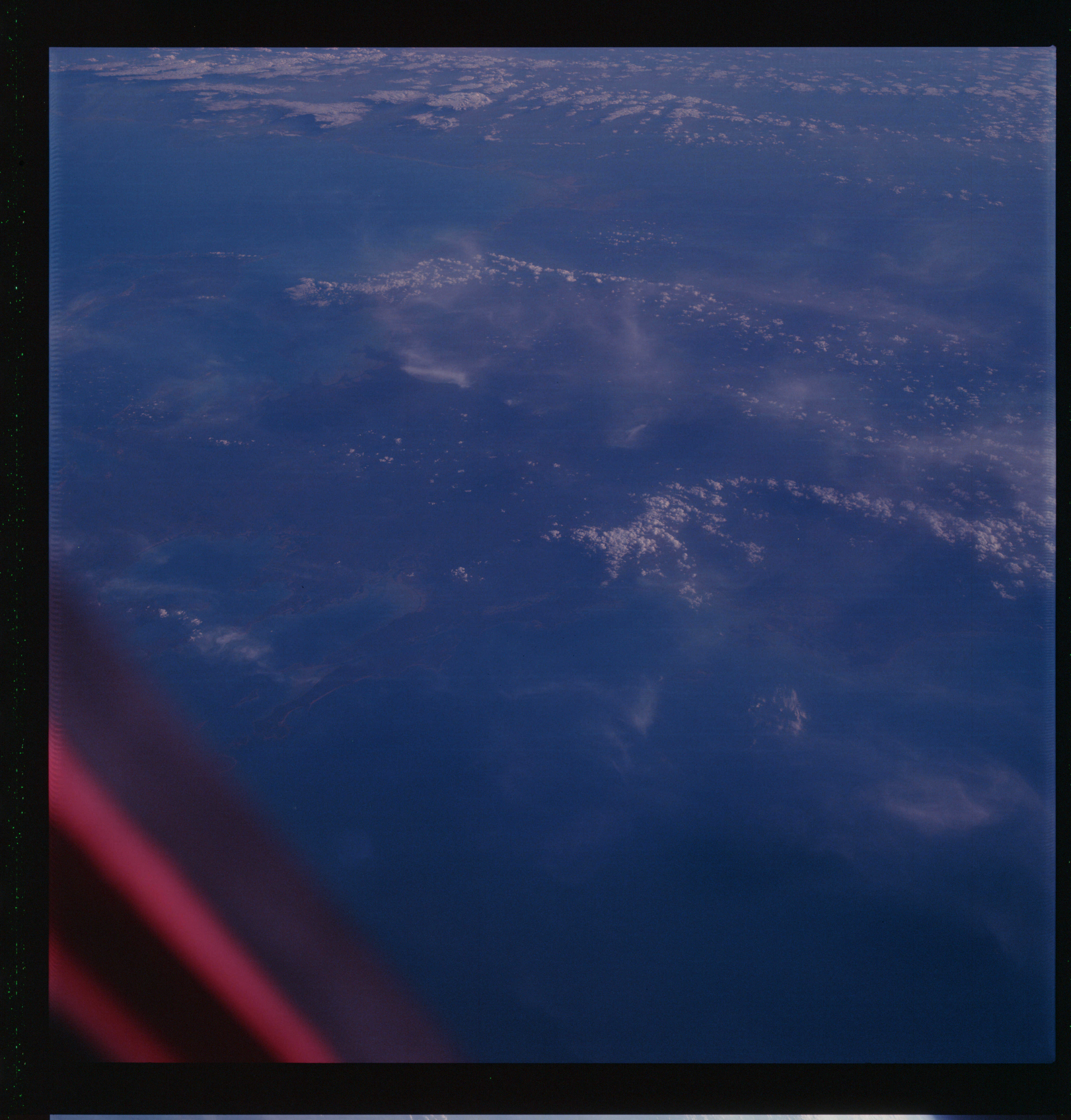 | AS07-07-1768 GEOGRAPHY/CARTOGRAPHY: Australia, Northern Territory, Queensland, Gulf of Carpentaria. (Dark) METEOROLOGY: Cumulus, strato-cumulus, cirrus. Image credit: Image Science and Analysis Laboratory, NASA-Johnson Space Center. |
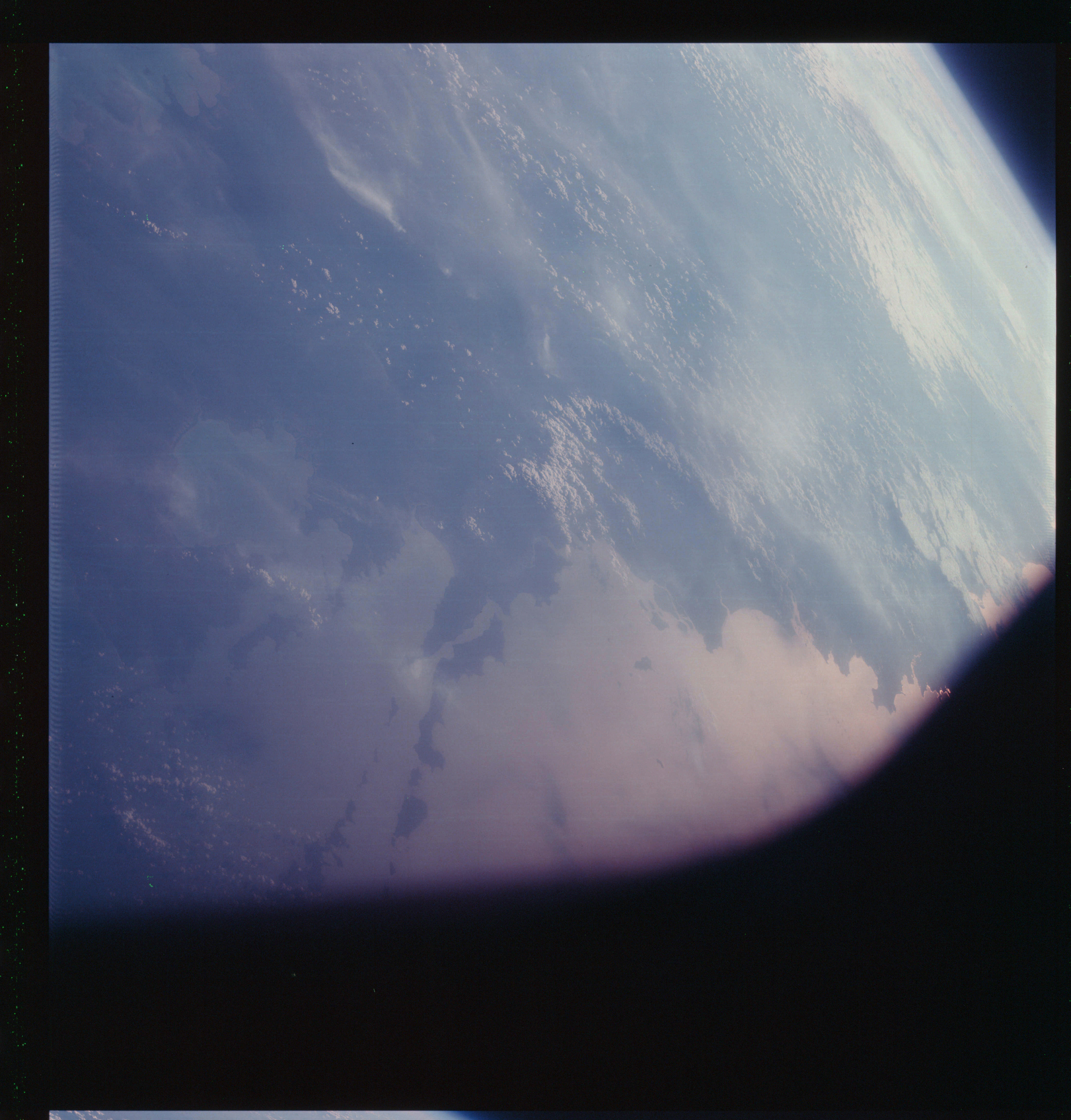 | AS07-07-1769 GEOGRAPHY/CARTOGRAPHY: Australia, Northern Territory, Wessel Islands, Howard Island, Buckingham Bay, Arnhem Bay. (Light) METEOROLOGY: Cumulus, cirrus. FORESTRY: Several smoke plumes from fires. OCEANOGRAPHY: Sun-glint area off the coast. Image credit: Image Science and Analysis Laboratory, NASA-Johnson Space Center. |
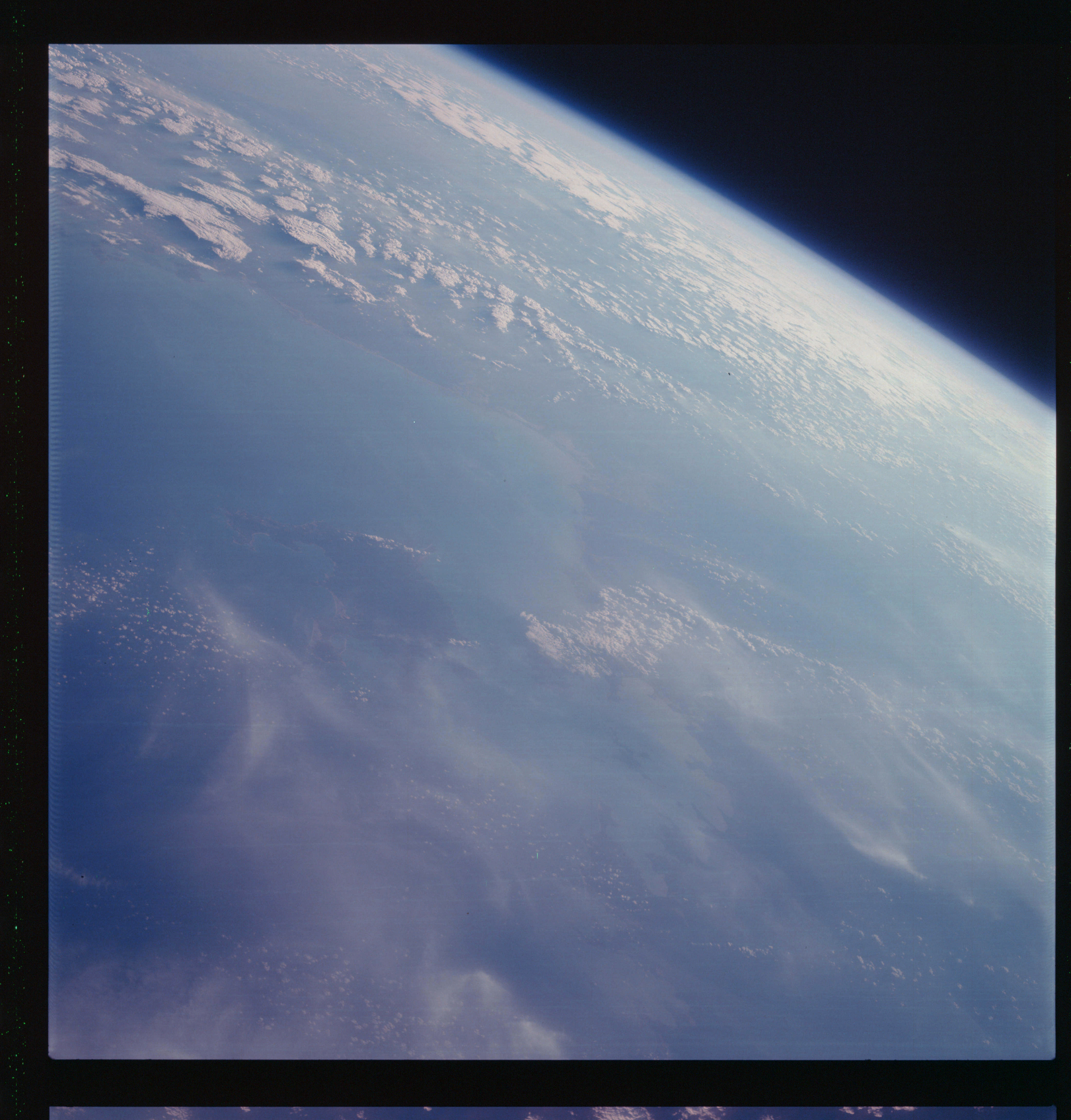 | AS07-07-1770 GEOGRAPHY/CARTOGRAPHY: Australia, Queensland, Western Gulf of Carpentaria. Limmex Bight. (Light) METEOROLOGY: Cumulus, cirrus. FORESTRY: Smoke plumes. Image credit: Image Science and Analysis Laboratory, NASA-Johnson Space Center. |
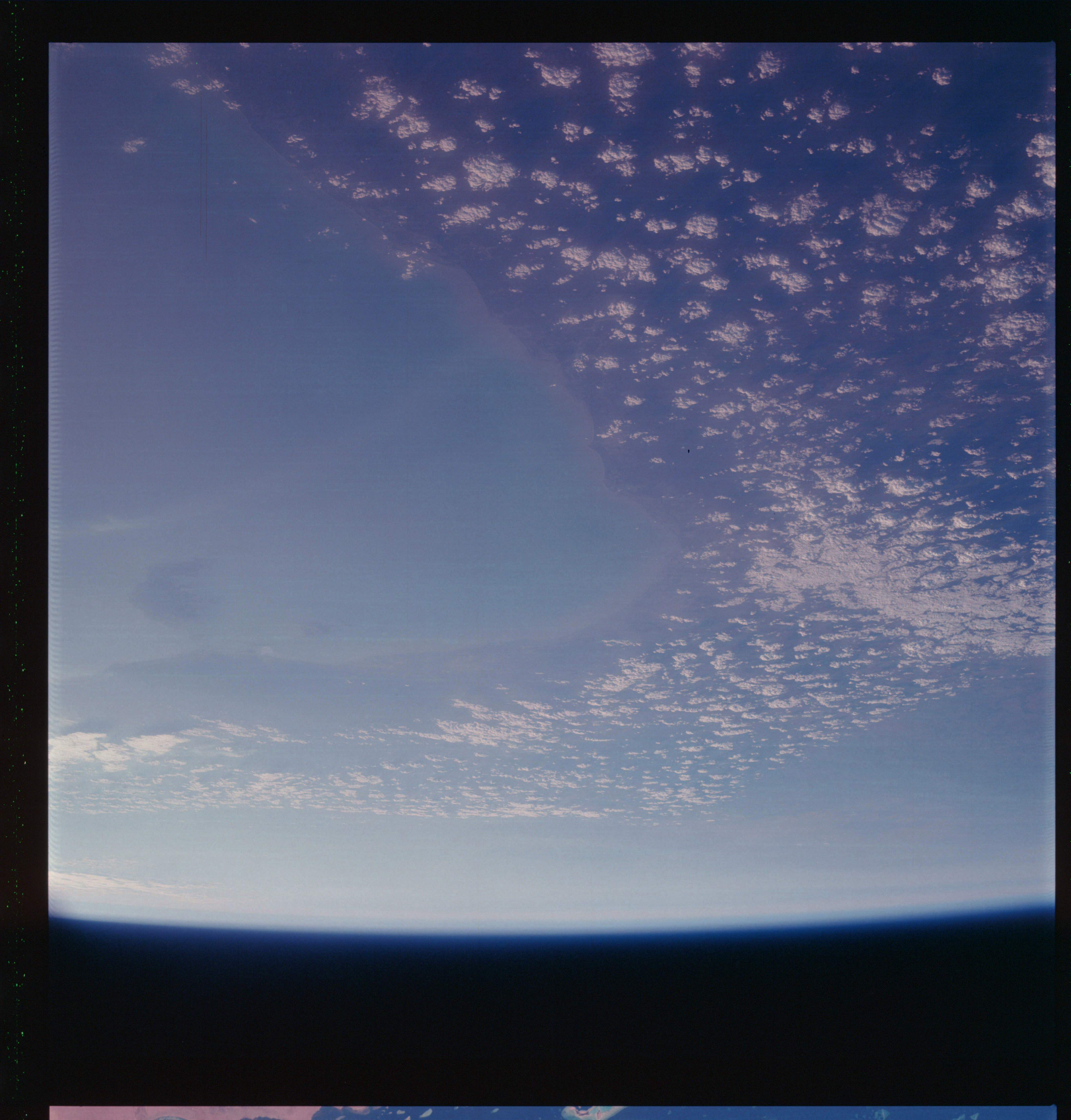 | AS07-07-1771 GEOGRAPHY/CARTOGRAPHY: Australia, Queensland, Gulf of Carpentaria, Wellesly Islands. (Light) METEOROLOGY: Cumulus, strato-cumulus. Image credit: Image Science and Analysis Laboratory, NASA-Johnson Space Center. |
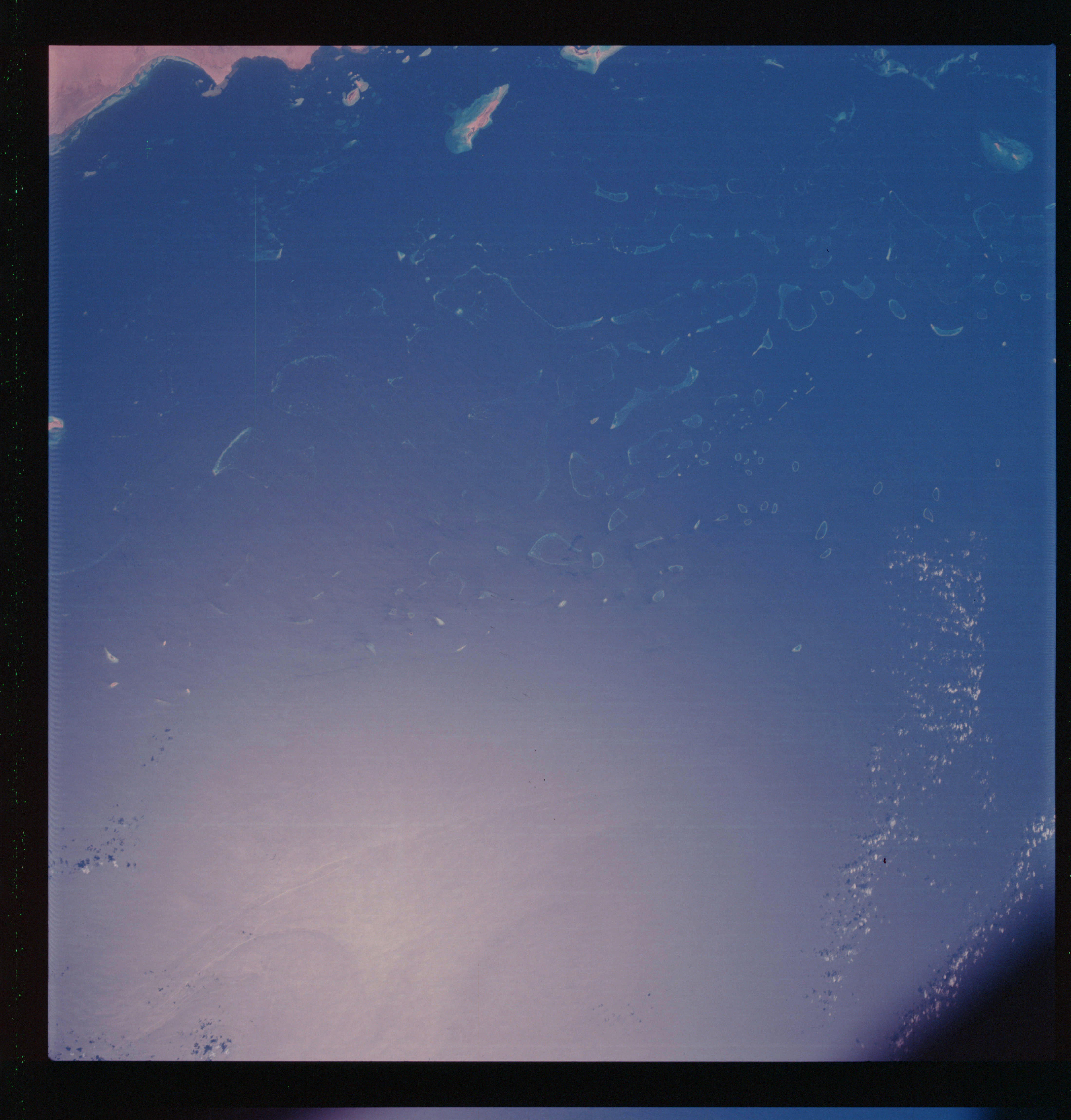 | AS07-07-1772 GEOGRAPHY/CARTOGRAPHY: Saudi Arabia, Red Sea, Hamdanah, Abe Latt Coral Reefs. GEOLOGY/HYDROLOGY: Coastal plain and coral reef build-up offshore. OCEANOGRAPHY: Coral reefs, atolls, clear water, wave front/current pattern in sun-glint area. METEOROLOGY: Small cumulus. Image credit: Image Science and Analysis Laboratory, NASA-Johnson Space Center. |
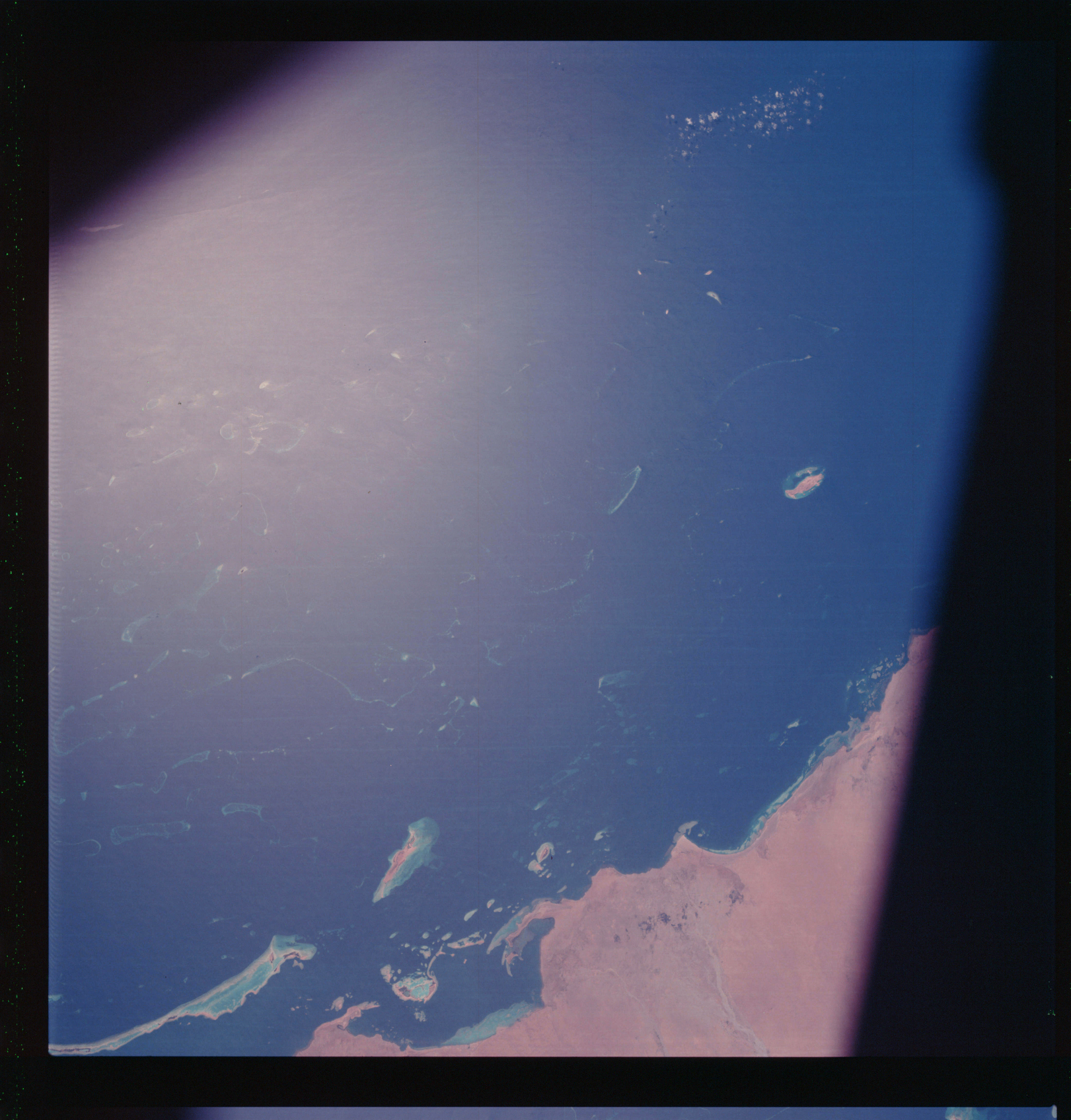 | AS07-07-1773 GEOGRAPHY/CARTOGRAPHY: Saudi Arabia, Red Sea, Hamdanah, Ad Dugah, Abe Latt Coral Reefs. AGRICULTURE: Small field patterns. GEOLOGY/HYDROLOGY: Coastal plain and coral reef build-up offshore. OCEANOGRAPHY: Coral reefs and a possible wave front in the sun glint area. METEOROLOGY: Small cumulus. Image credit: Image Science and Analysis Laboratory, NASA-Johnson Space Center. |
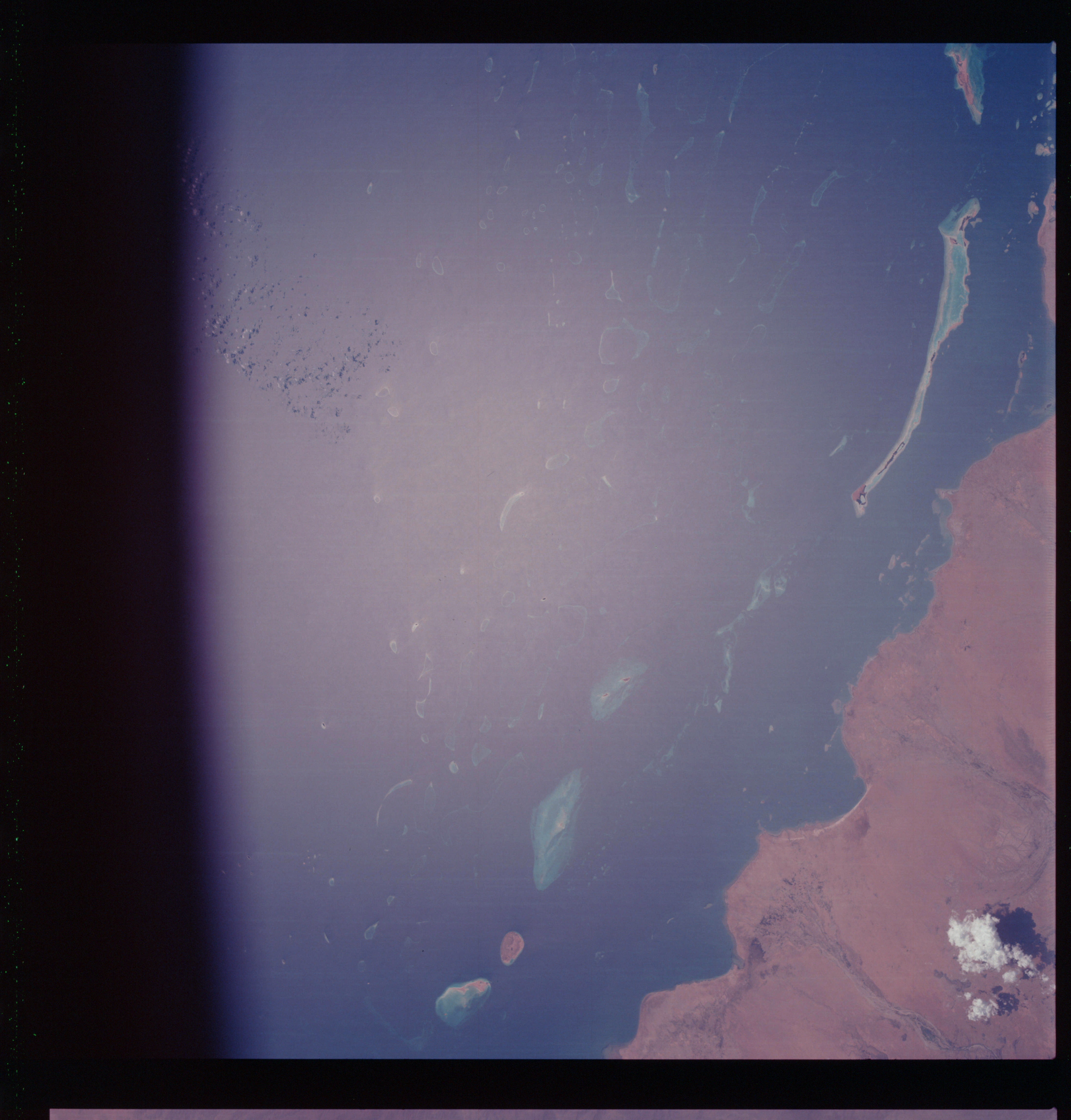 | AS07-07-1774 GEOGRAPHY/CARTOGRAPHY: Arabian coast, Red Sea, Al Qunfundah. AGRICULTURE: Extensive dry land cultivation in delta area. GEOLOGY/HYDROLOGY: Dome structure, dendritic intermittent streams (braided) on the sedimentary hill region. OCEANOGRAPHY: Coral reefs partly obscured by sun-glint, no breakers over reefs. METEOROLOGY: Small cumulus. Image credit: Image Science and Analysis Laboratory, NASA-Johnson Space Center. |
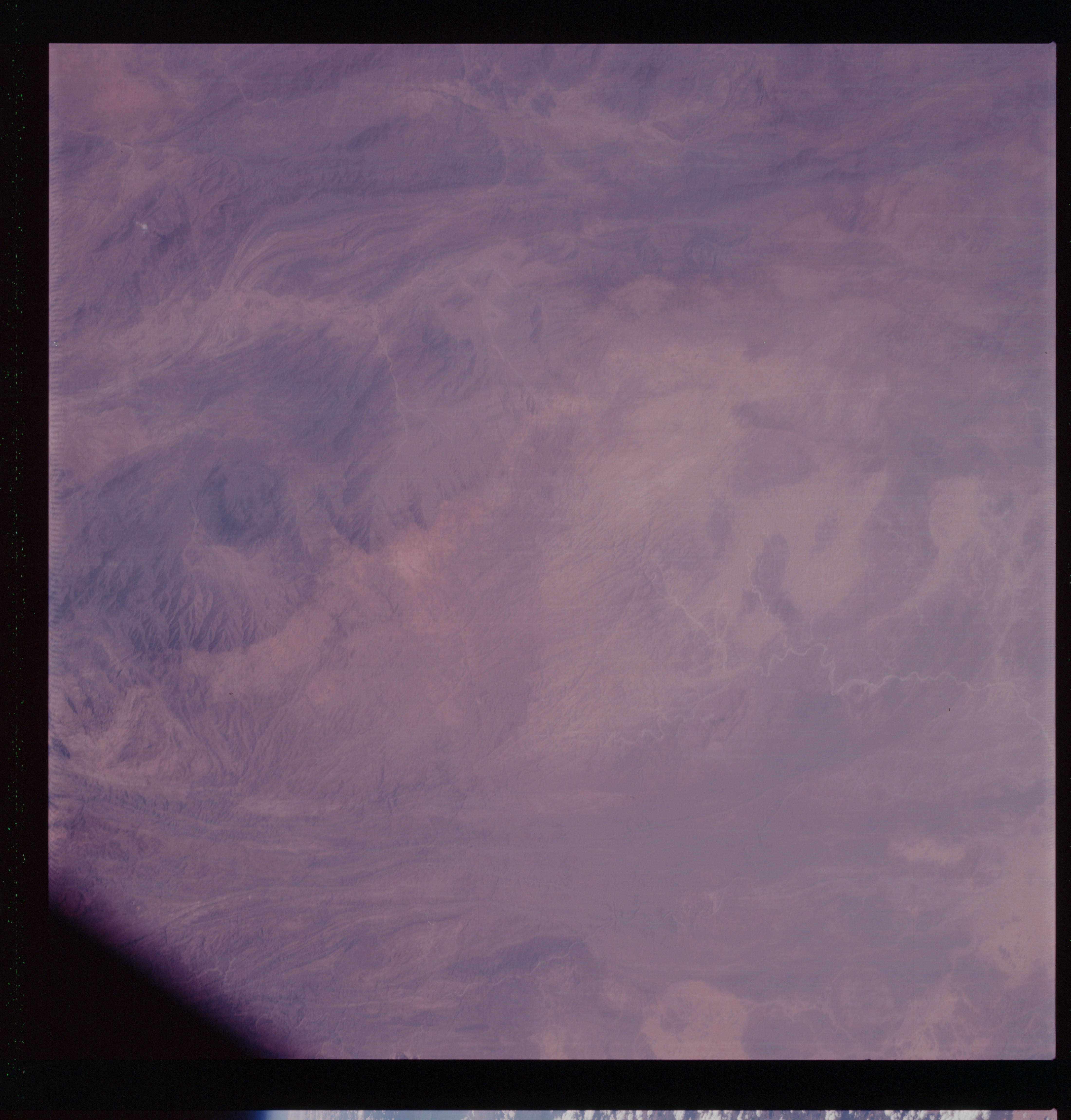 | AS07-07-1775 GEOGRAPHY/CARTOGRAPHY: Saudi Arabia, Asia Mts. GEOLOGY/HYDROLOGY: Complex, folded mountains with intermittent dendritic streams. Image credit: Image Science and Analysis Laboratory, NASA-Johnson Space Center. |
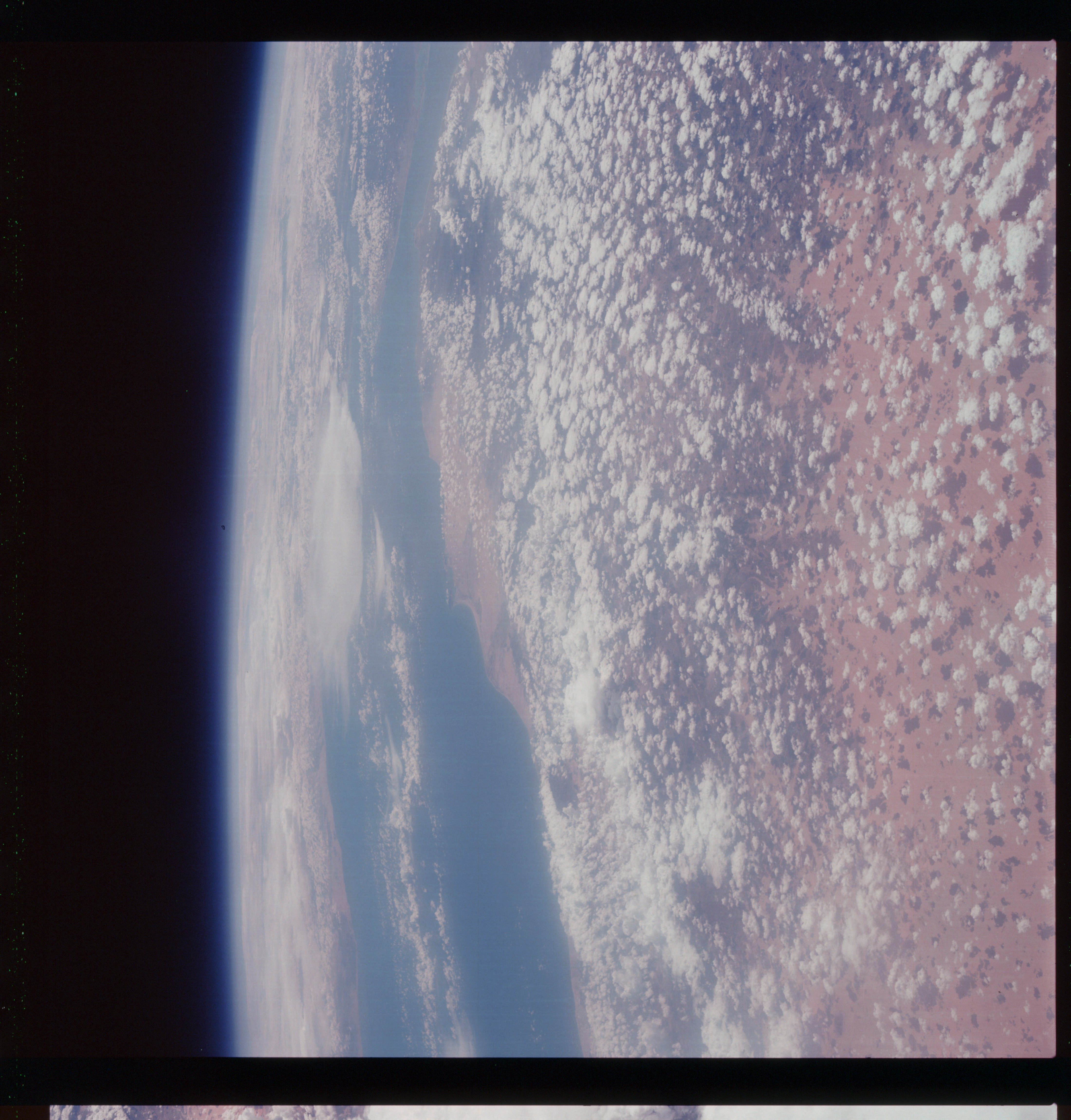 | AS07-07-1776 GEOGRAPHY/CARTOGRAPHY: Saudi Arabia, Yemen, South Arabia, Southwest corner, Red Sea. (Light) GEOLOGY/HYDROLOGY: Coastal plain and intermittent streams. METEOROLOGY: Cumulus, stratus. Image credit: Image Science and Analysis Laboratory, NASA-Johnson Space Center. |
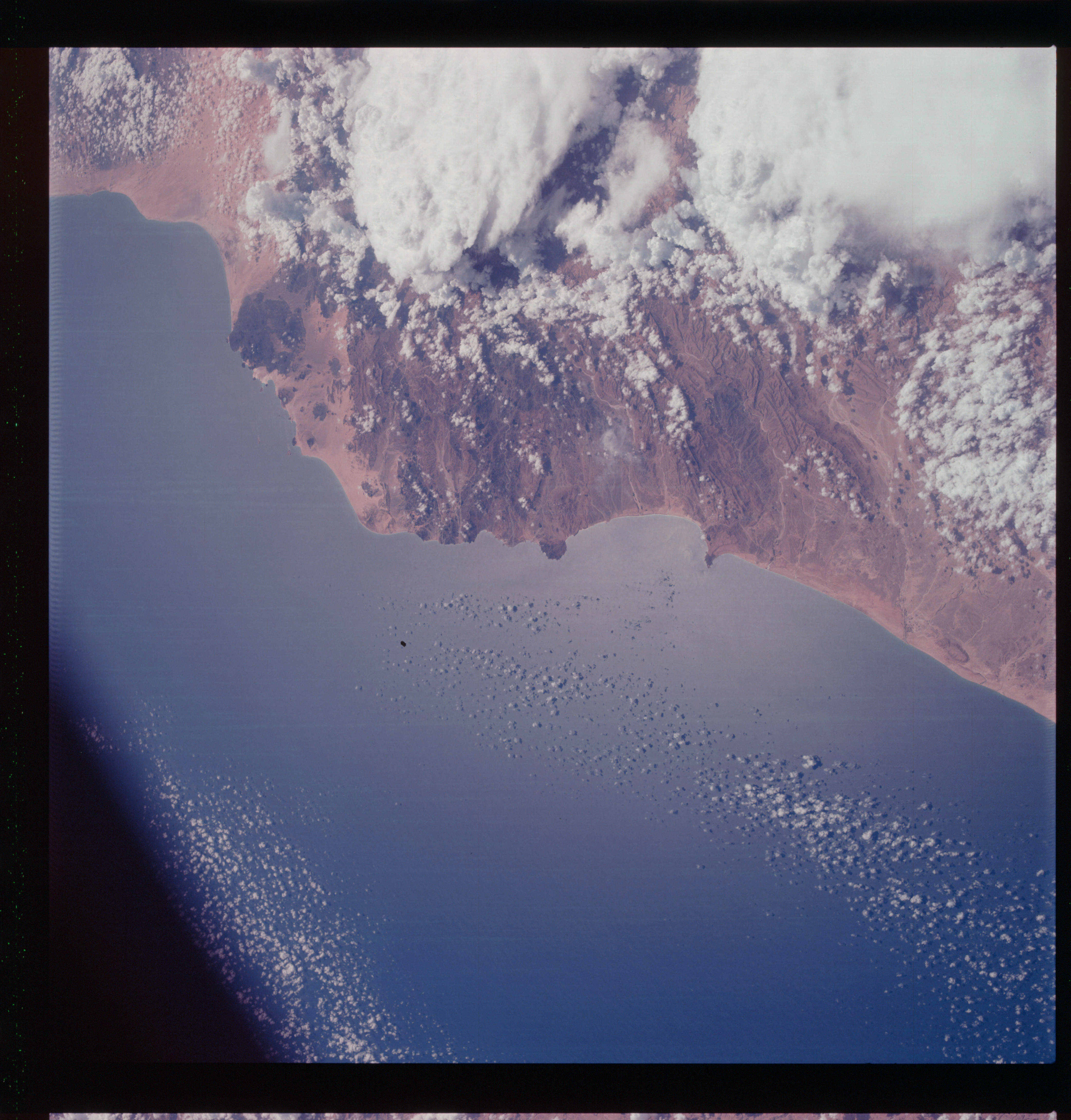 | AS07-07-1777 GEOGRAPHY/CARTOGRAPHY: Saudi Arabia, Aden, Gulf of Aden, Al Mukalla Sharma Bay. GEOLOGY/HYDROLOGY: Complex, sedimentary hills and mountains, volcanic plains with intermittent drainage. FORESTRY: Low shrub forms. METEOROLOGY: Towering cumulus, part of cumulus-nimbus. OCEANOGRAPHY: Sun-glint in the nearshore area. Image credit: Image Science and Analysis Laboratory, NASA-Johnson Space Center. |
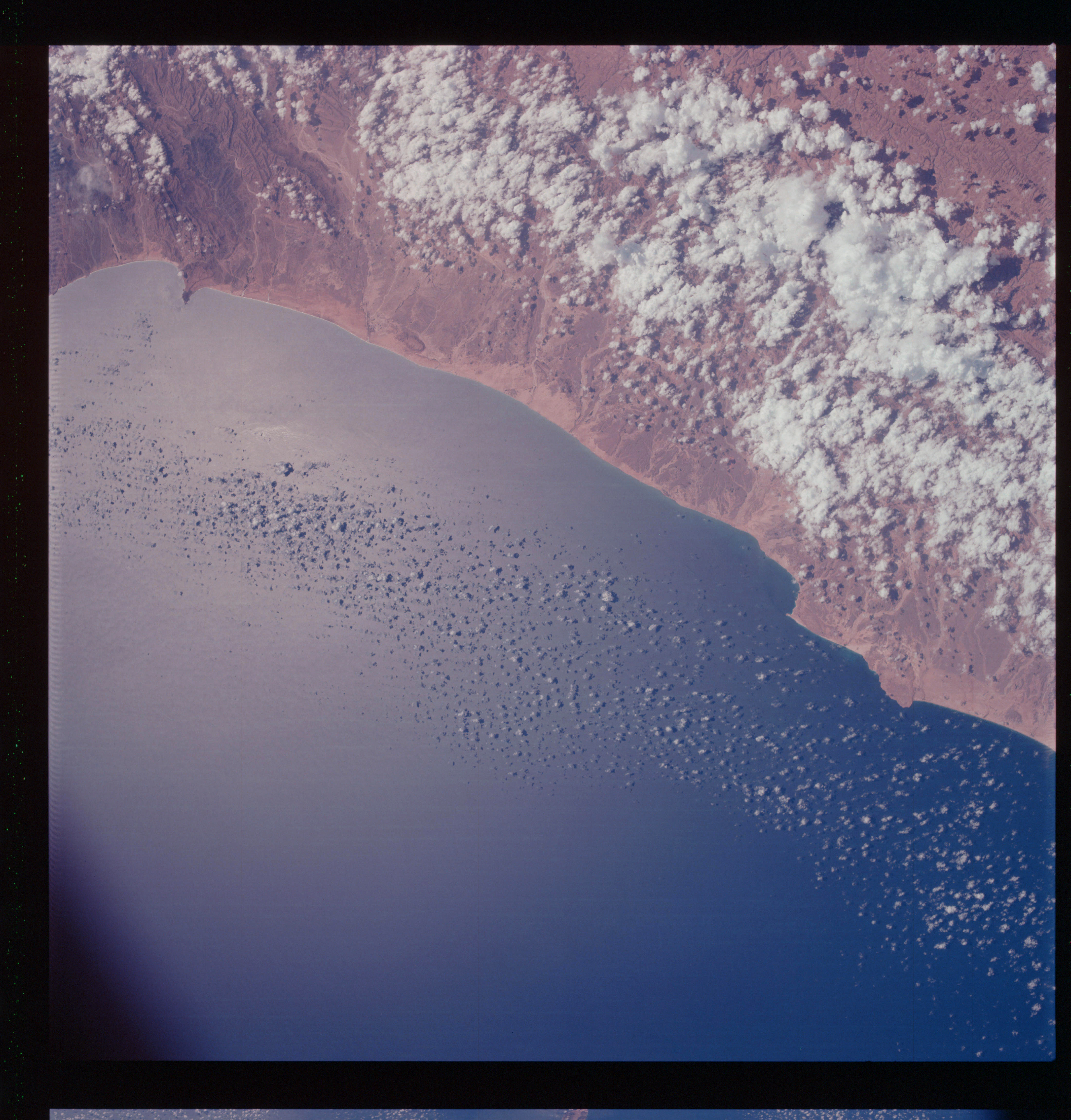 | AS07-07-1778 GEOGRAPHY/CARTOGRAPHY: Saudi Arabia, Gulf of Aden, Aden GEOLOGY/HYDROLOGY: Complex, sedimentary hills and mountains, consequent intermittent wadis throughout the area. FORESTRY: Low shrub form. METEOROLOGY: Towering cumulus, small cumulus. OCEANOGRAPHY: Sun-glint in nearshore area. Image credit: Image Science and Analysis Laboratory, NASA-Johnson Space Center. |
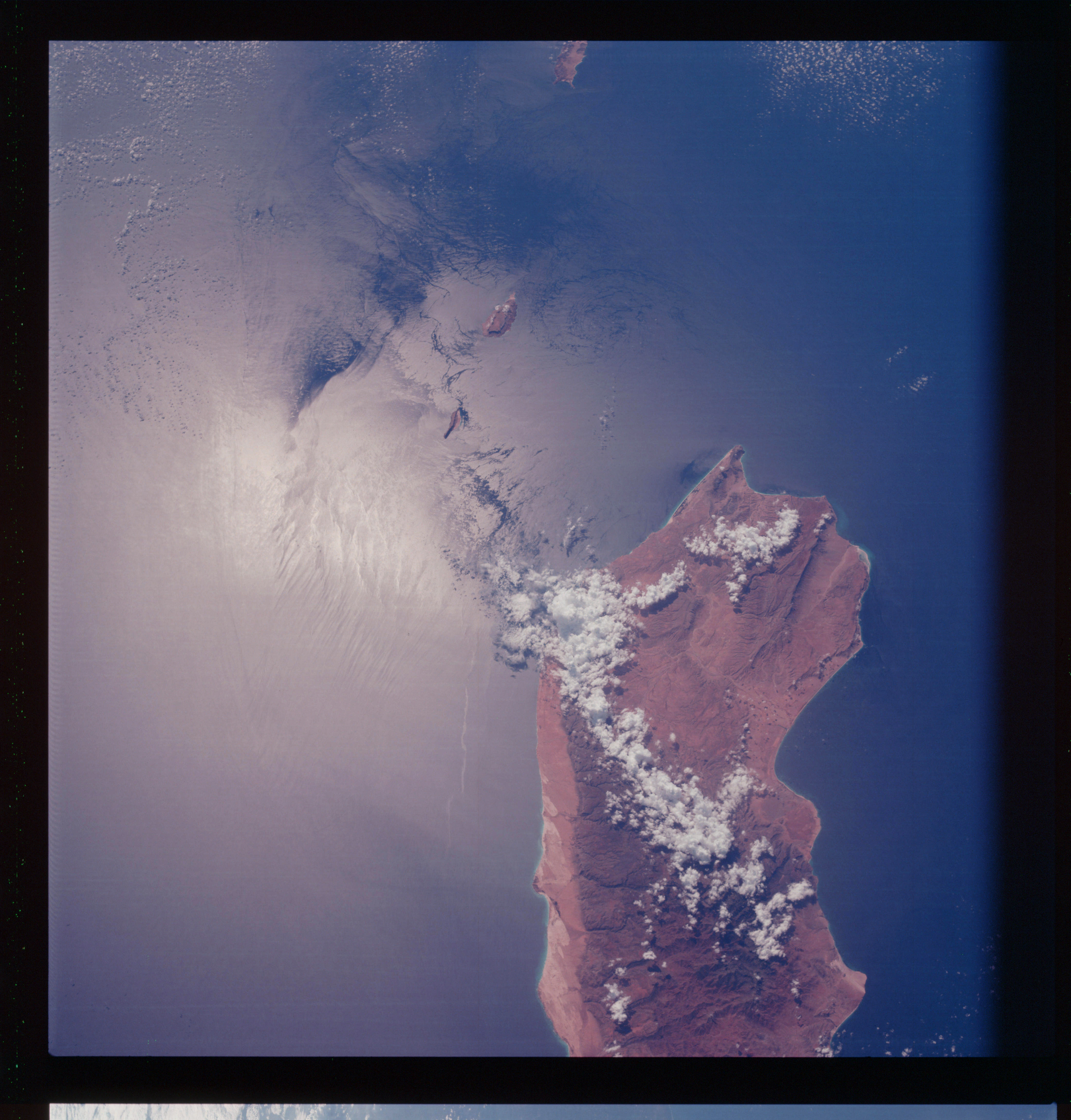 | AS07-07-1779 GEOGRAPHY/CARTOGRAPHY: Island of Secotra, located off coast of Somali, Africa, Gulf of Aden and Indian Ocean. GEOLOGY/HYDROLOGY: Complex hills and mountains, coastal plain and alkali deposits, : METEOROLOGY: Towering cumulus, cumulus, cirrus. OCEANOGRAPHY: Evident current patterns (possibly a manifestation of the strong Somali current) and wave fronts with a line of surf offshore probably denoting a reef or bar. Image credit: Image Science and Analysis Laboratory, NASA-Johnson Space Center. |
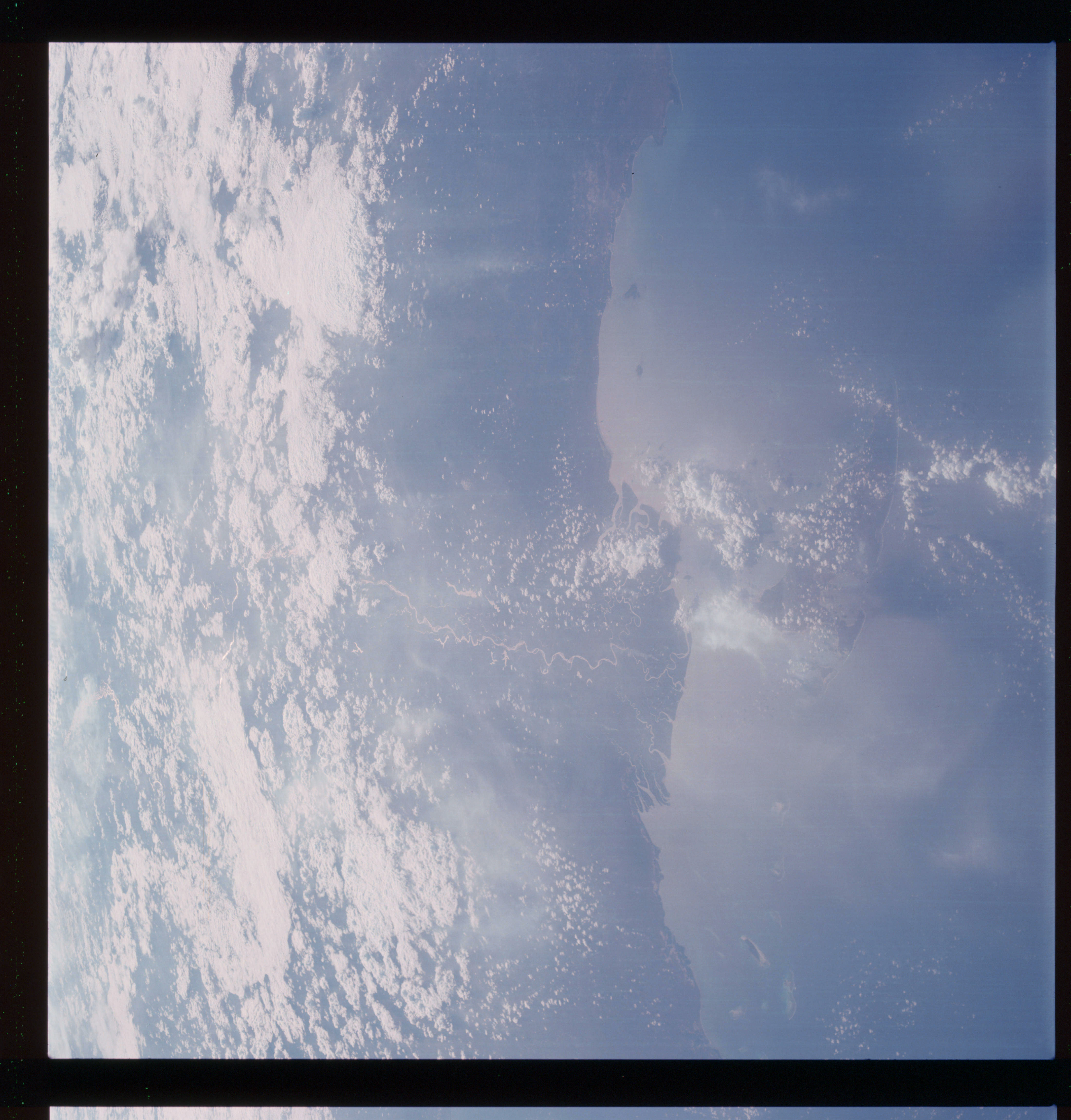 | AS07-07-1780 GEOGRAPHY/CARTOGRAPHY: Mafia Island off coast of East Africa, Tanzania, Mafia Channel. (Light) GEOLOGY/HYDROLOGY: Meandering perennial streams on the coastal plain. METEOROLOGY: Cumulus, alto-cumulus. OCEANOGRAPHY: Partial sun-glint area. Image credit: Image Science and Analysis Laboratory, NASA-Johnson Space Center. |
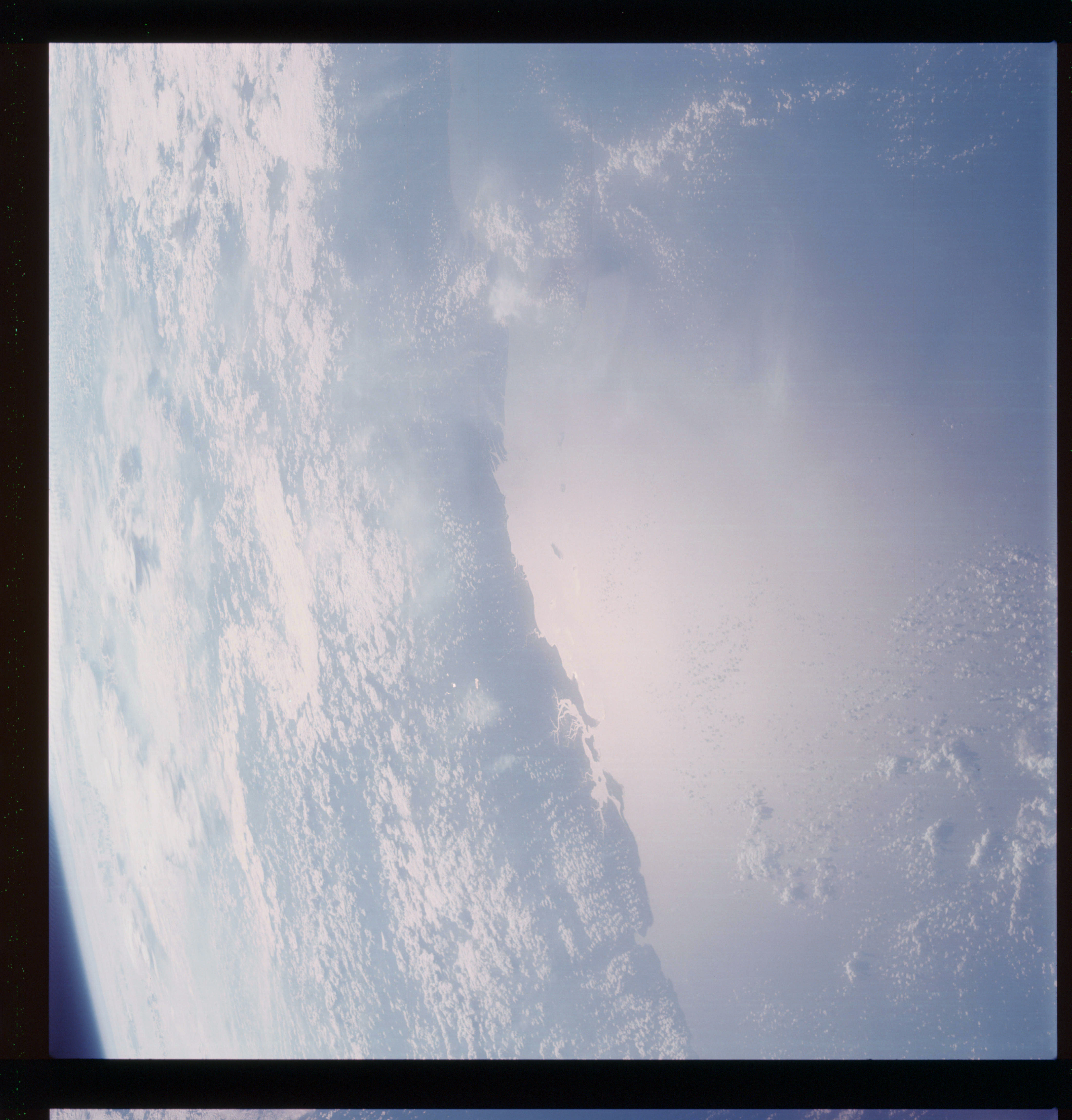 | AS07-07-1781 GEOGRAPHY/CARTOGRAPHY: South of Mafia Island, East Coast of Africa, Tanzania. (Light) GEOLOGY/HYDROLOGY: Coastal plain. METEOROLOGY: Cumulus, alto-cumulus. FORESTRY: Intermittent forest lands. OCEANOGRAPHY: Depth differences outlining the boundary between continental shelf and continental slope. Image credit: Image Science and Analysis Laboratory, NASA-Johnson Space Center. |
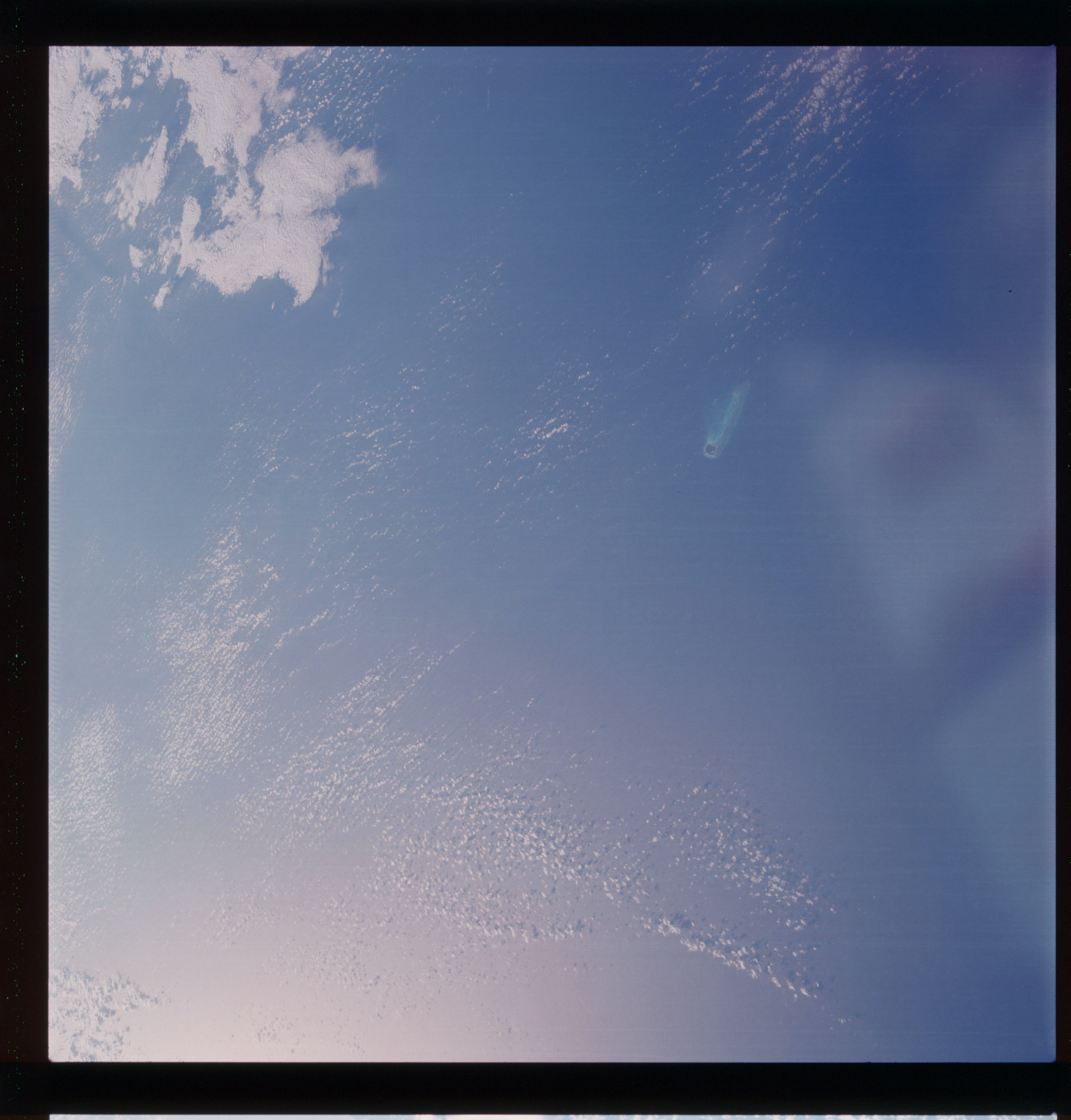 | AS07-07-1782 GEOGRAPHY/CARTOGRAPHY: An Island. METEOROLOGY: Cumulus, strato-cumulus. Image credit: Image Science and Analysis Laboratory, NASA-Johnson Space Center. |
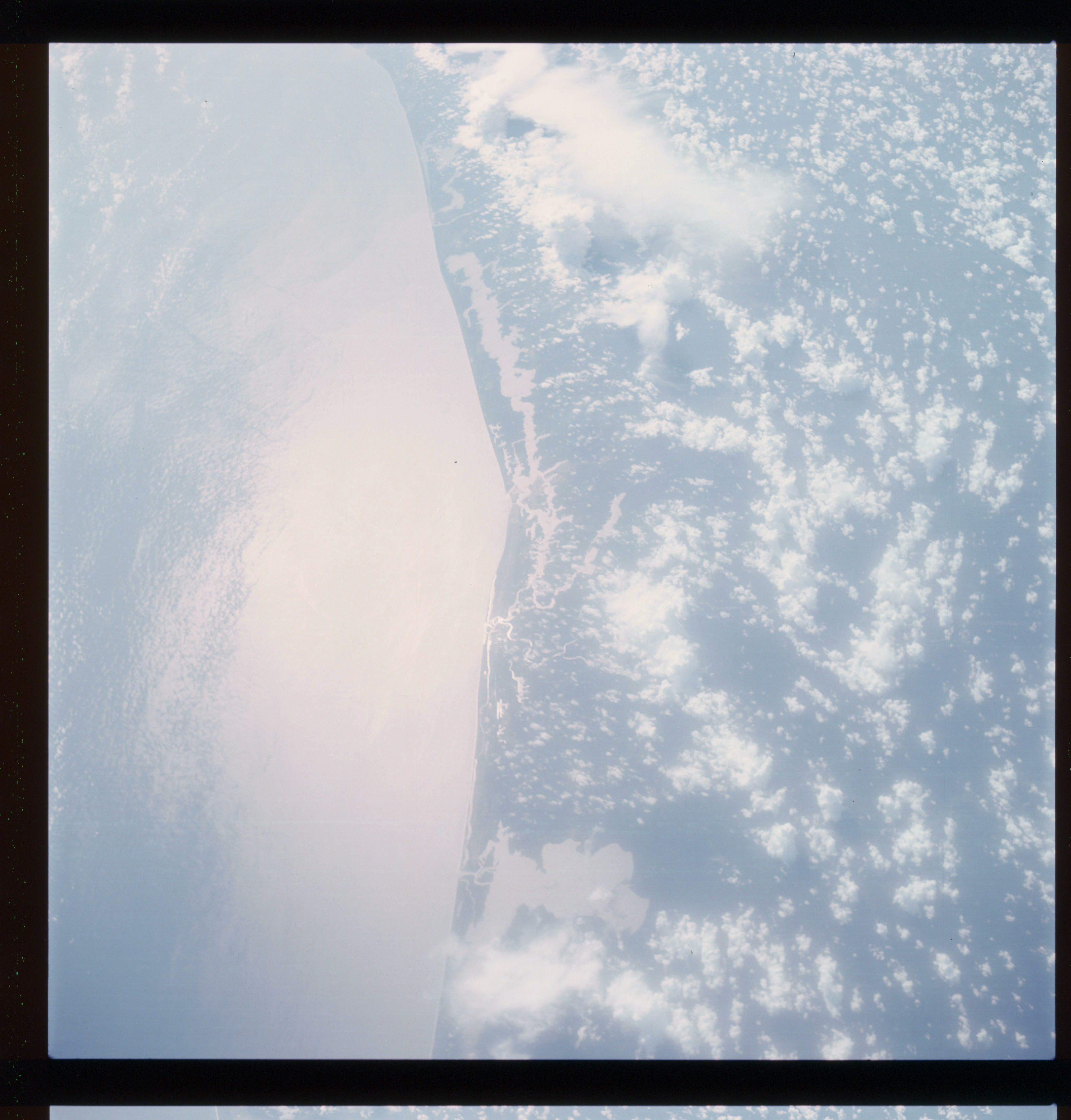 | AS07-07-1783 GEOGRAPHY/CARTOGRAPHY: West Africa - Ivory Coast, Ghana, cities of Abidjan and Treichville. (Light) GEOLOGY/HYDROLOGY: Coastal plain, dendritic drainage. METEOROLOGY: Cumulus, alto-cumulus. FORESTRY: Densely forested. Image credit: Image Science and Analysis Laboratory, NASA-Johnson Space Center. |
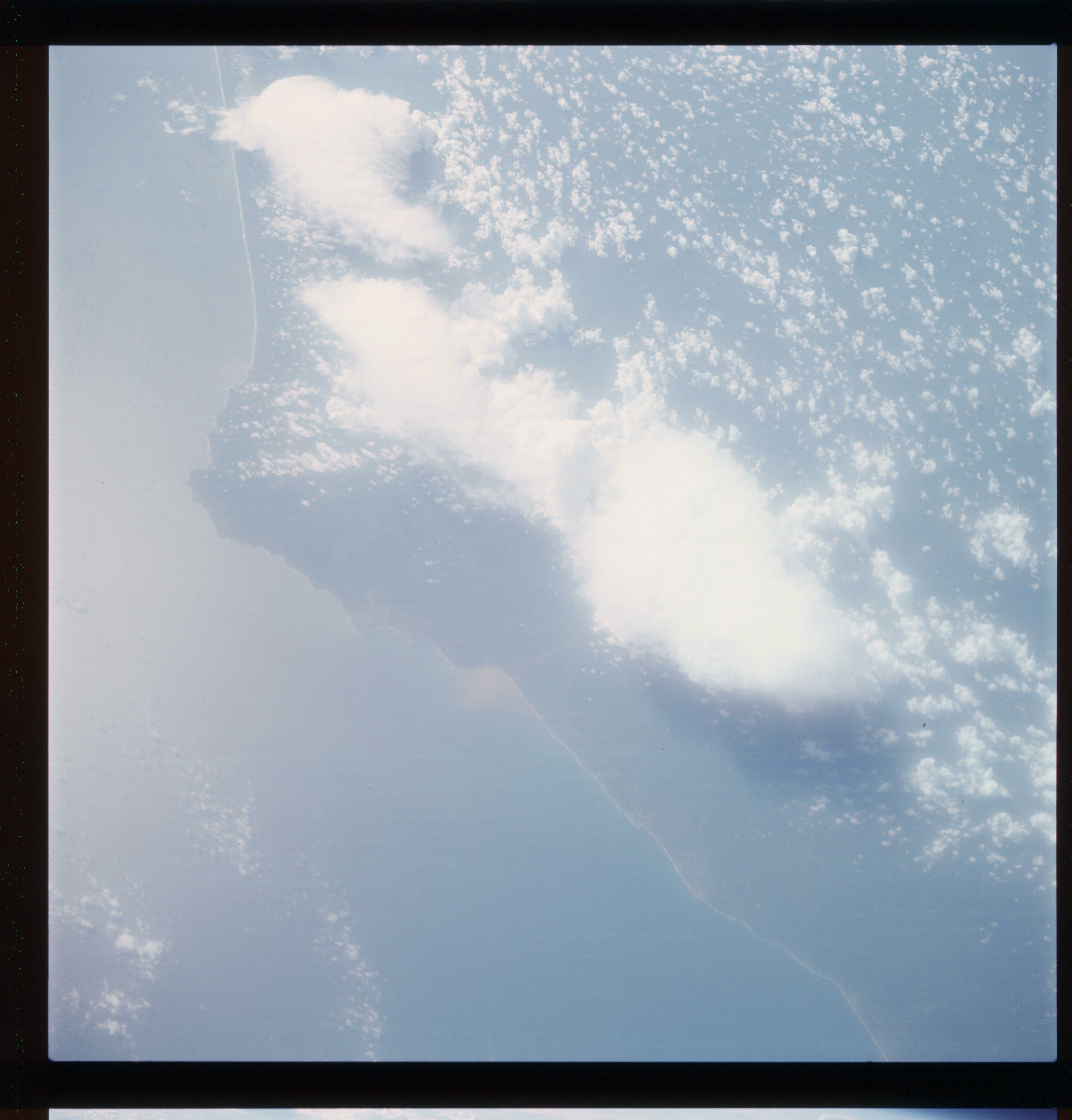 | AS07-07-1784 GEOGRAPHY/CARTOGRAPHY: Ghana, Africa, city of Sekondi (Light) GEOLOGY/HYDROLOGY: Coastal plain. METEOROLOGY: Cumulus, thick cirrus. FORESTRY: Densely forested. Image credit: Image Science and Analysis Laboratory, NASA-Johnson Space Center. |
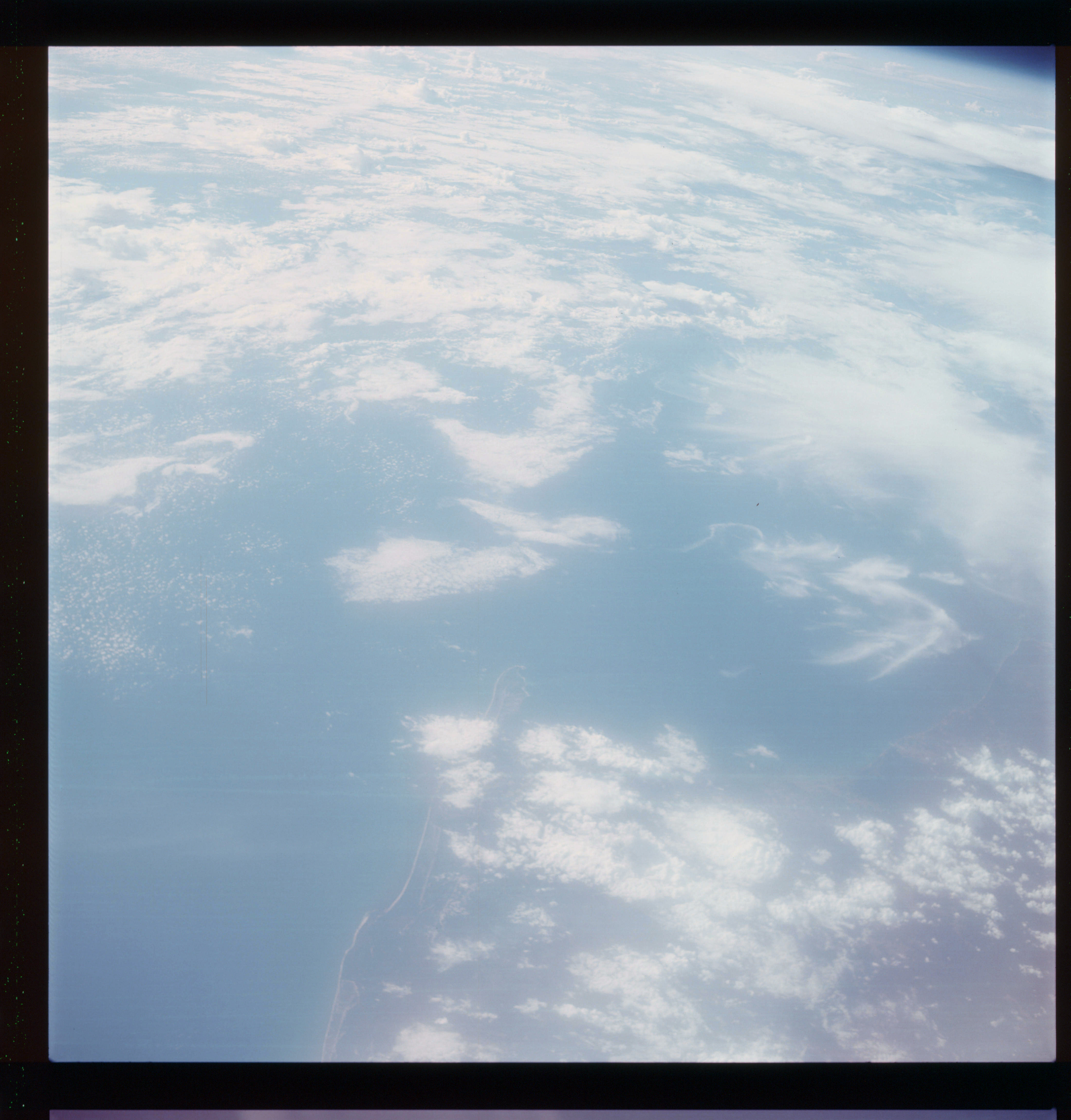 | AS07-07-1785 GEOGRAPHY/CARTOGRAPHY: Galoon, Port Gentii. (Light) GEGLOGY/HYDROLOGY: Coastal plain. METEOROLOGY: Cumulus, thick cirrus. Image credit: Image Science and Analysis Laboratory, NASA-Johnson Space Center. |
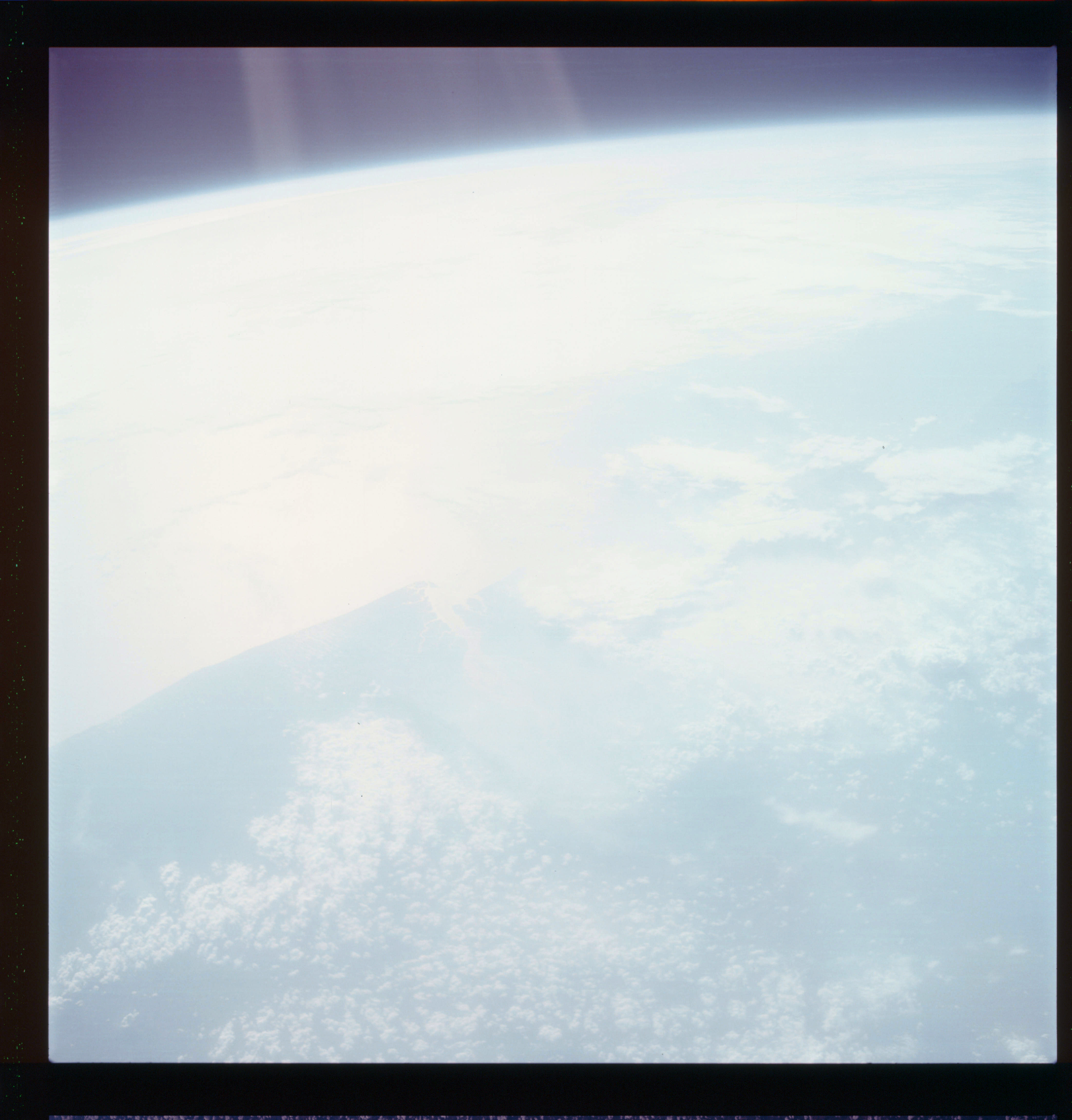 | AS07-07-1786 Overexposed. Image credit: Image Science and Analysis Laboratory, NASA-Johnson Space Center. |
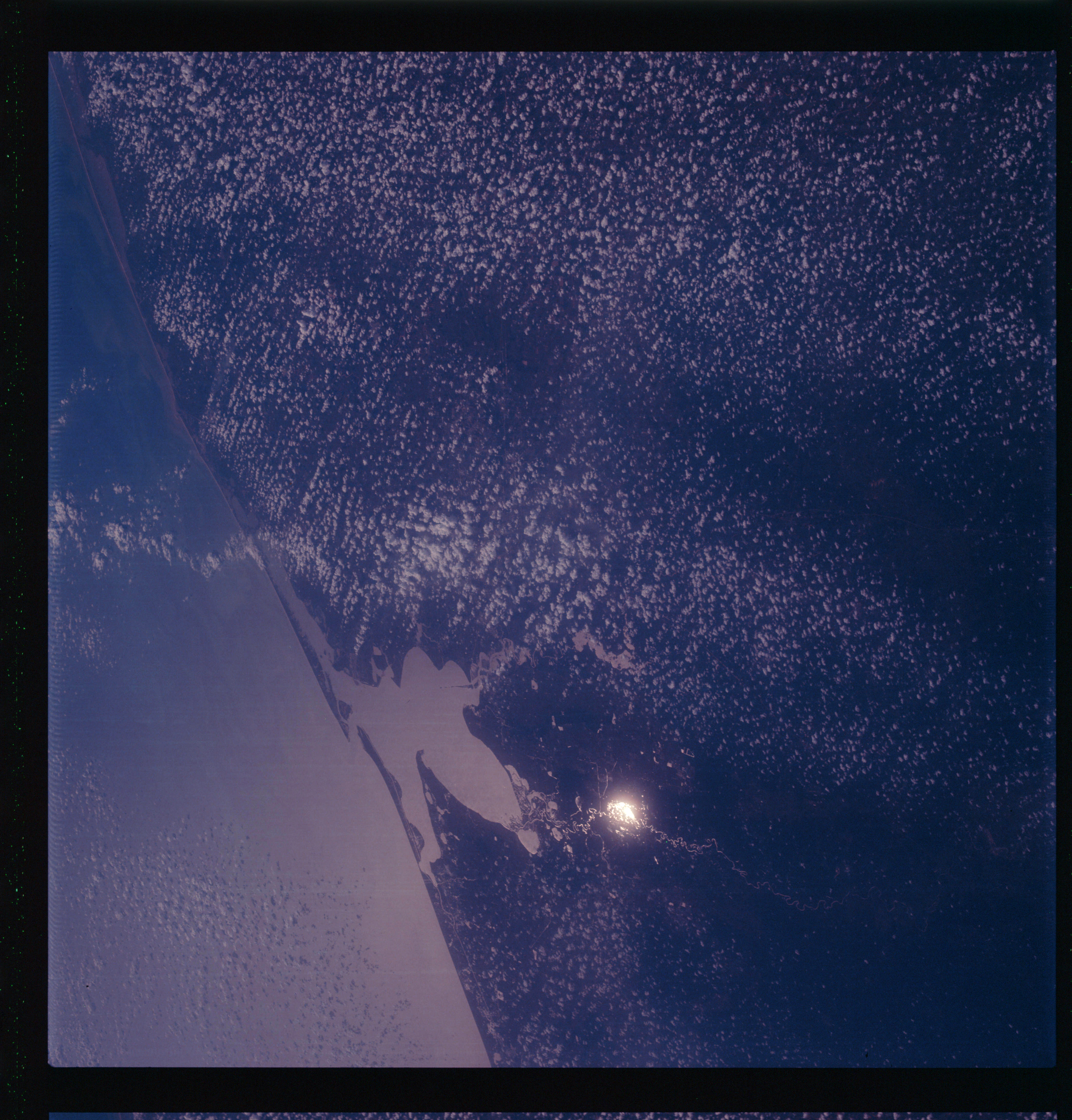 | AS07-07-1787 GEOGRAPHY/CARTOGRAPHY: Texas, Houston Area. (Dark) GEOLOGY/HYDROLOGY: Coastal plain. METEOROLOGY: Cumulus. Image credit: Image Science and Analysis Laboratory, NASA-Johnson Space Center. |
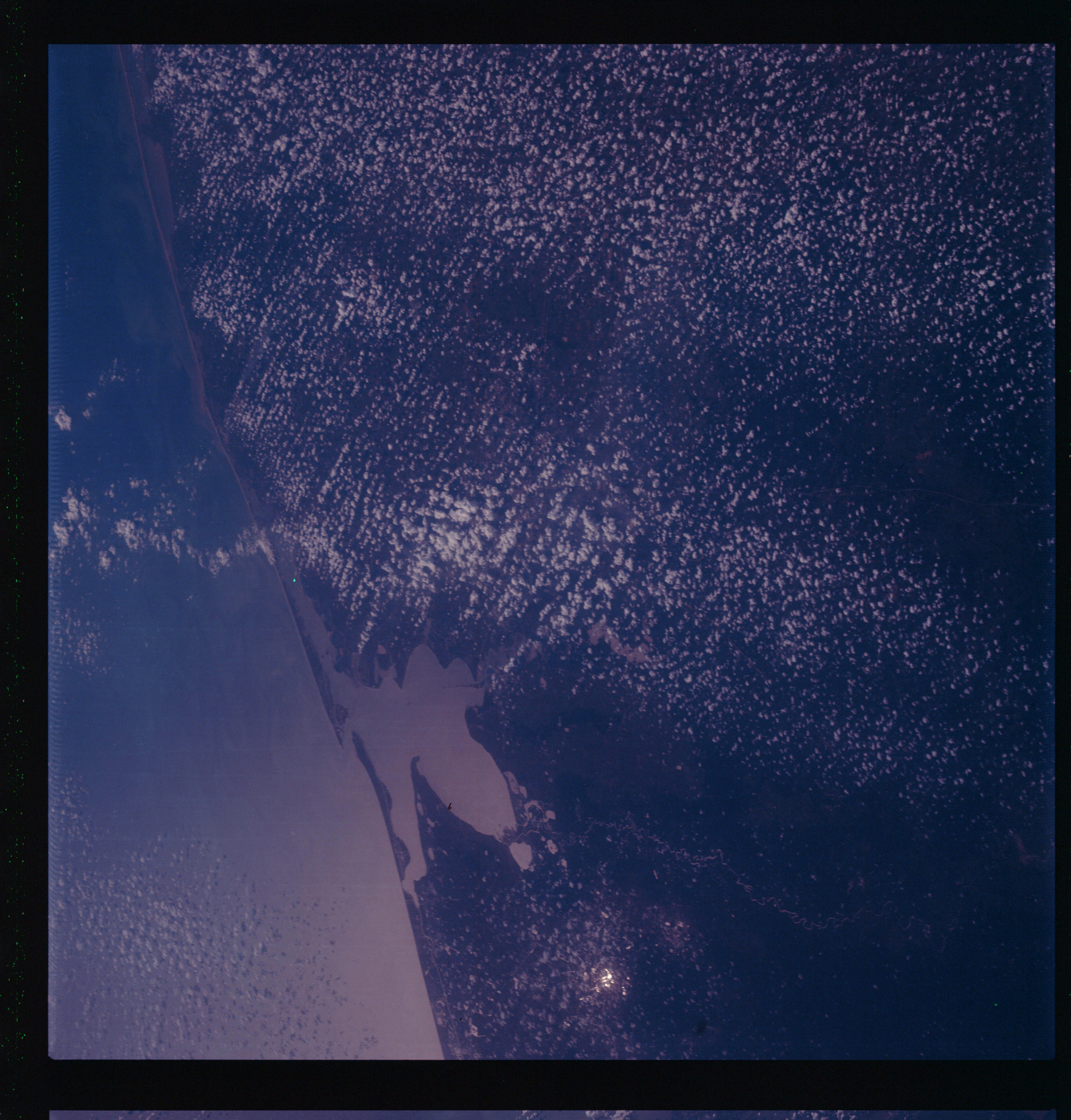 | AS07-07-1788 GEOGRAPHY/CARTOGRAPHY: Houston Area, Texas, (Dark) GEOLOGY/HYDROLOGY: Coastal plain. METEOROLOGY: Cumulus. Image credit: Image Science and Analysis Laboratory, NASA-Johnson Space Center. |
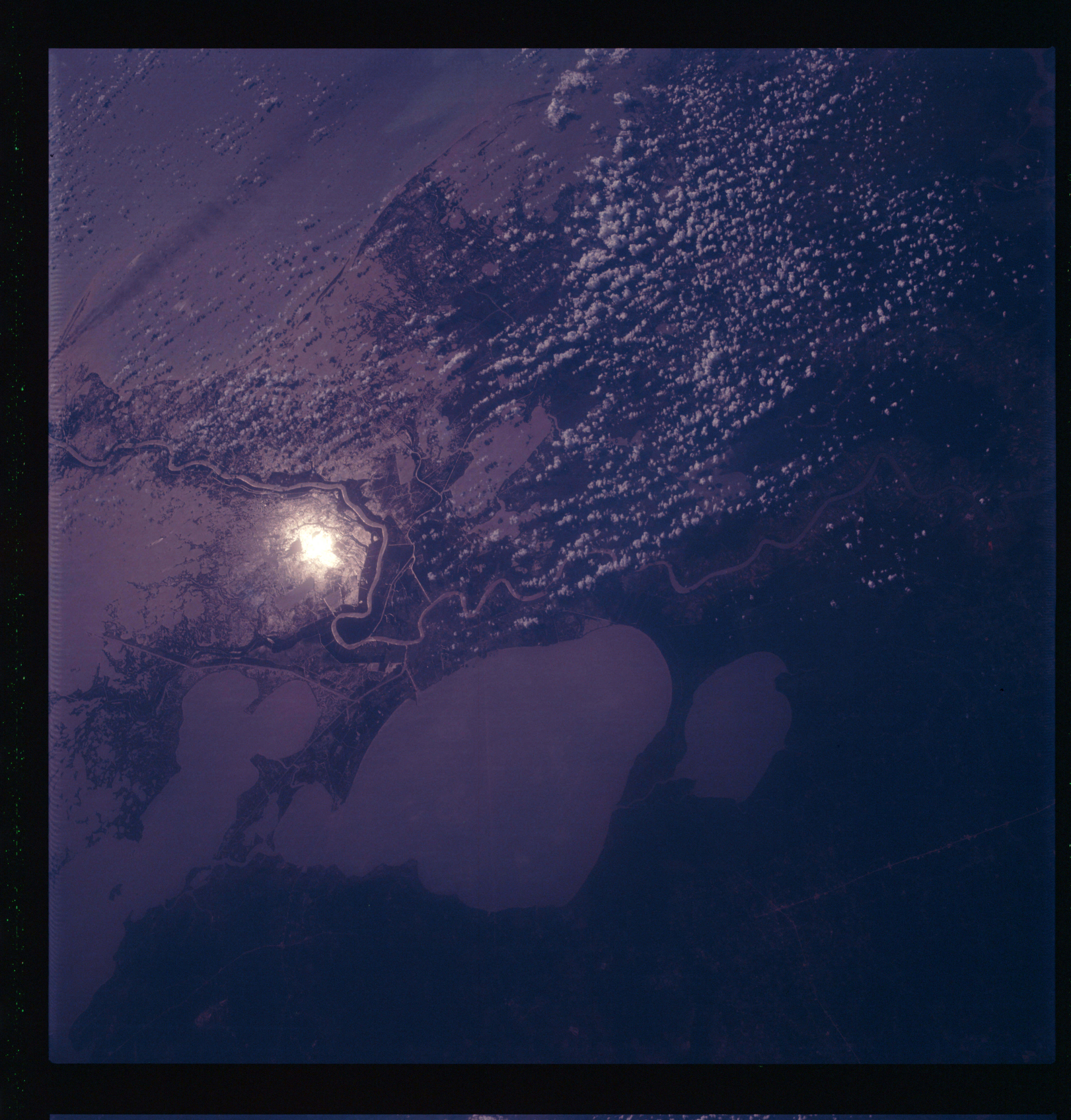 | AS07-07-1789 GEOGRAPHY/CARTOGRAPHY: Louisiana, New Orleans Area, Lake Pontchartrain, regional transportation network. (Dark) GEOLOGY/HYDROLOGY: Low alluvial plain. FORESTRY: Marsh vegetation – intermittent. Image credit: Image Science and Analysis Laboratory, NASA-Johnson Space Center. |
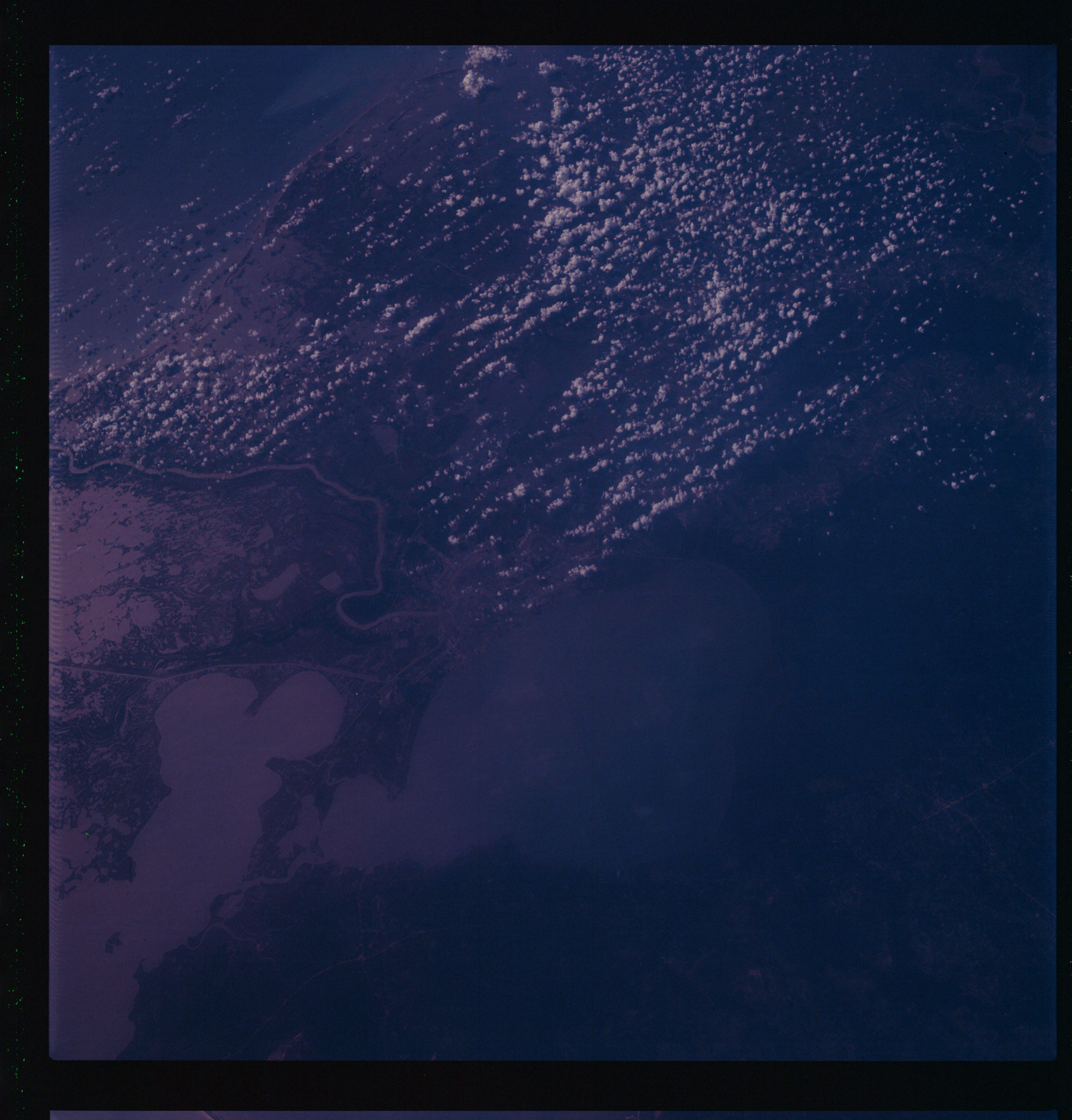 | AS07-07-1790 GEOGRAPHY/CARTOGRAPHY: Louisiana, New Orleans, Lake Pontchartrain Area. (Dark) GEOLOGY/HYDROLOGY: Lew alluvial plain. METEOROLOGY: Cumulus. Image credit: Image Science and Analysis Laboratory, NASA-Johnson Space Center. |
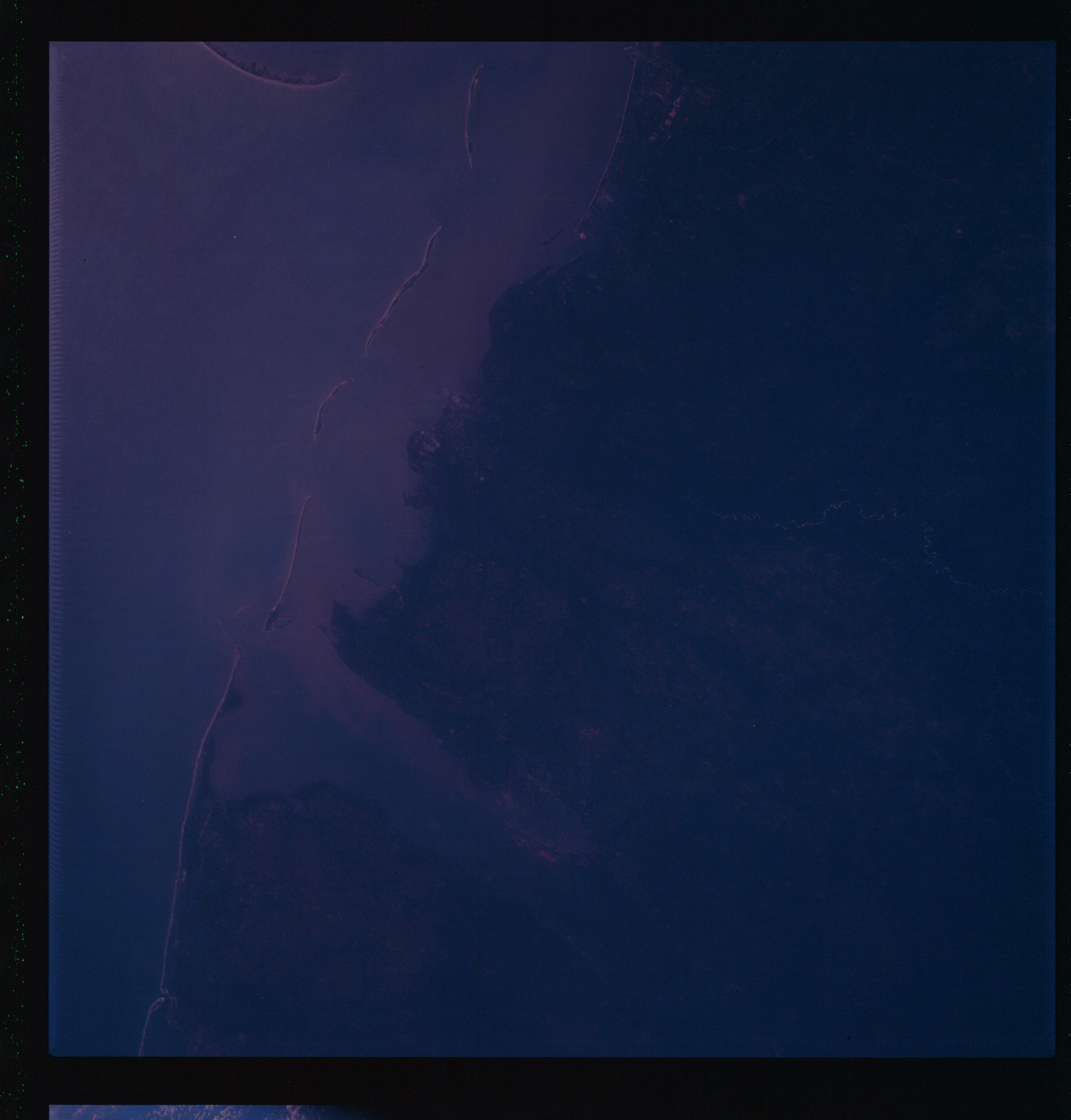 | AS07-07-1791 GEOGRAPHY/CARTOGRAPHY: Alabama, Mobile Area. (Dark) Too dark to extract any other information. Image credit: Image Science and Analysis Laboratory, NASA-Johnson Space Center. |
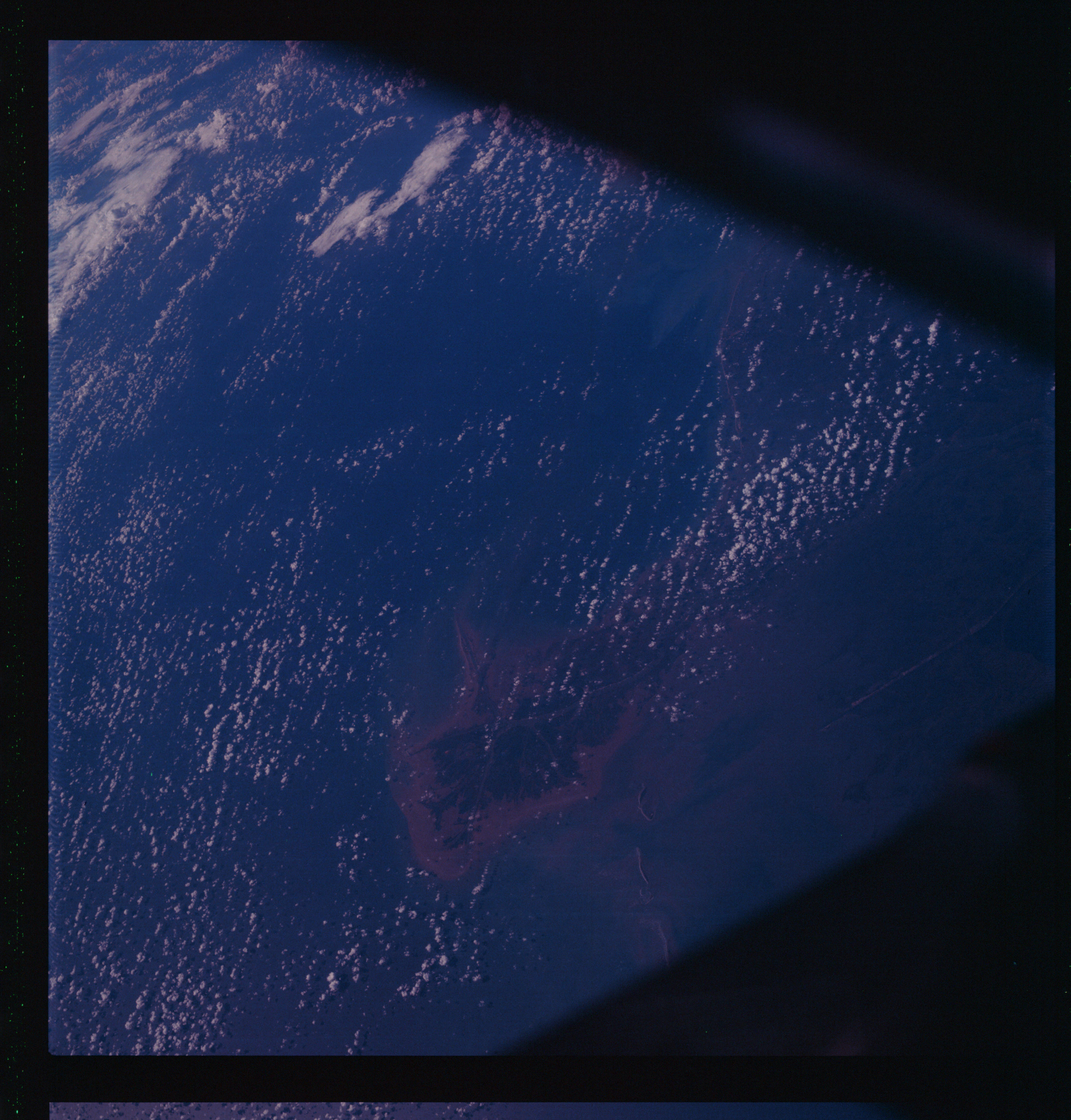 | AS07-07-1792 GEOGRAPHY/CARTOGRAPHY: Louisiana, Mouth of Mississippi River Delta. (Dark) METEOROLOGY: Cumulus. Too dark to extract any other information. Image credit: Image Science and Analysis Laboratory, NASA-Johnson Space Center. |
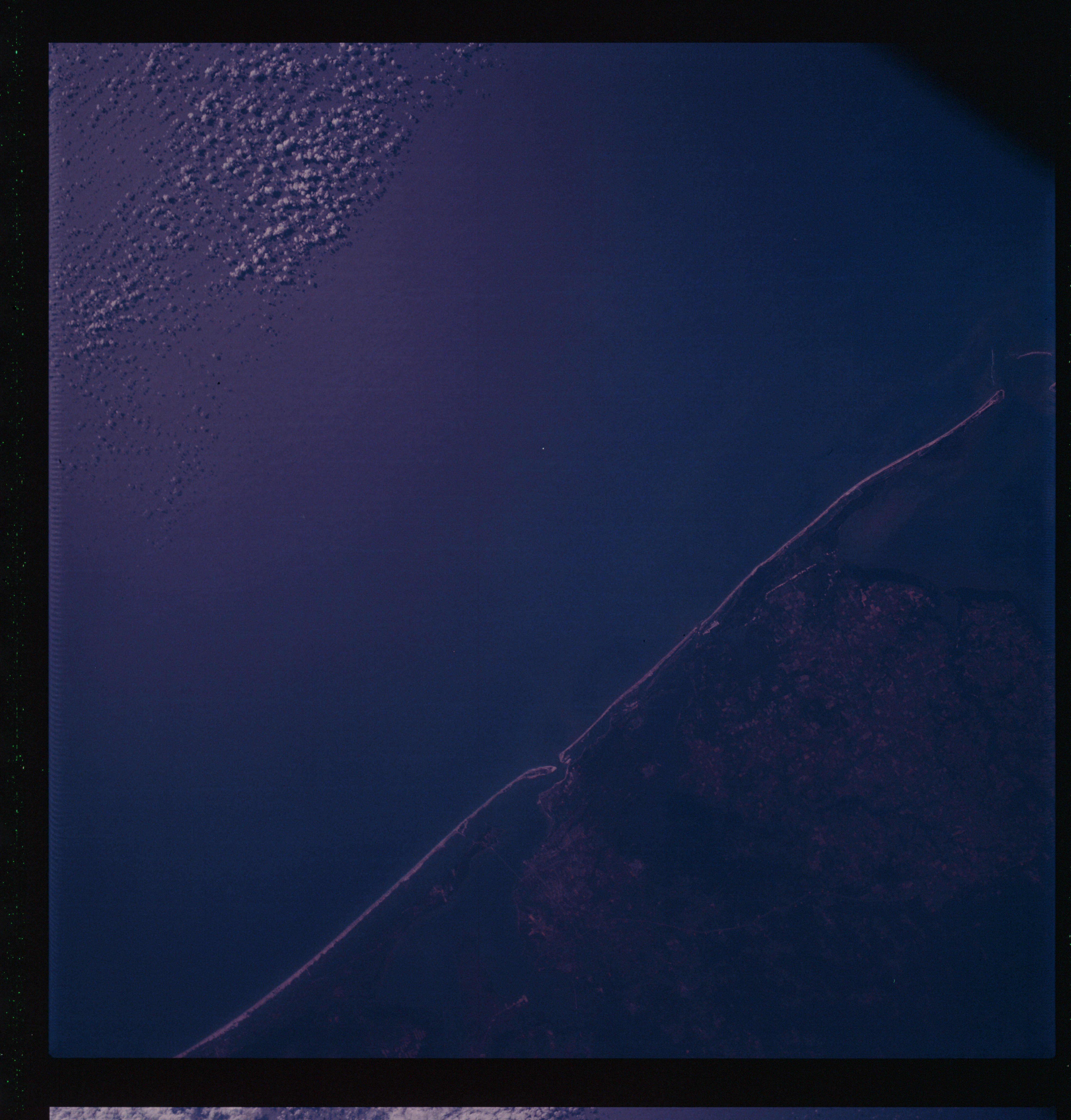 | AS07-07-1793 GEOGRAPHY/CARTOGRAPHY: Florida, Pensacola Area. (Dark) GEOLOGY/HYDROLOGY: Coastal plain. METEOROLOGY: Cumulus. Image credit: Image Science and Analysis Laboratory, NASA-Johnson Space Center. |
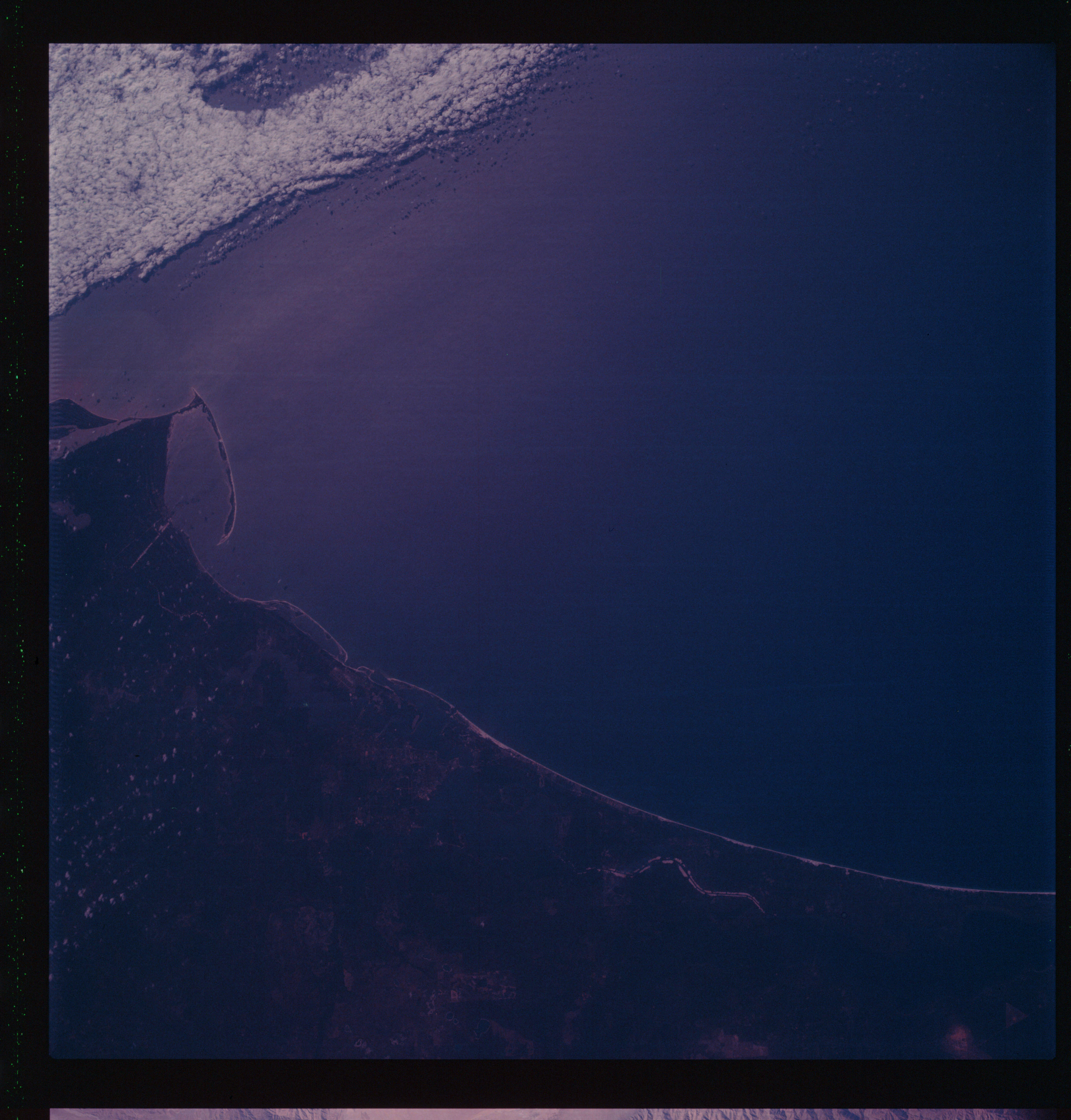 | AS07-07-1794 GEOGRAPHY/CARTOGRAPHY: Florida, Apalachicola Area. (Dark) GEOLOGY/HYDROLOGY: Coastal plain. METEOROLOGY: Strato-cumulus. Image credit: Image Science and Analysis Laboratory, NASA-Johnson Space Center. |
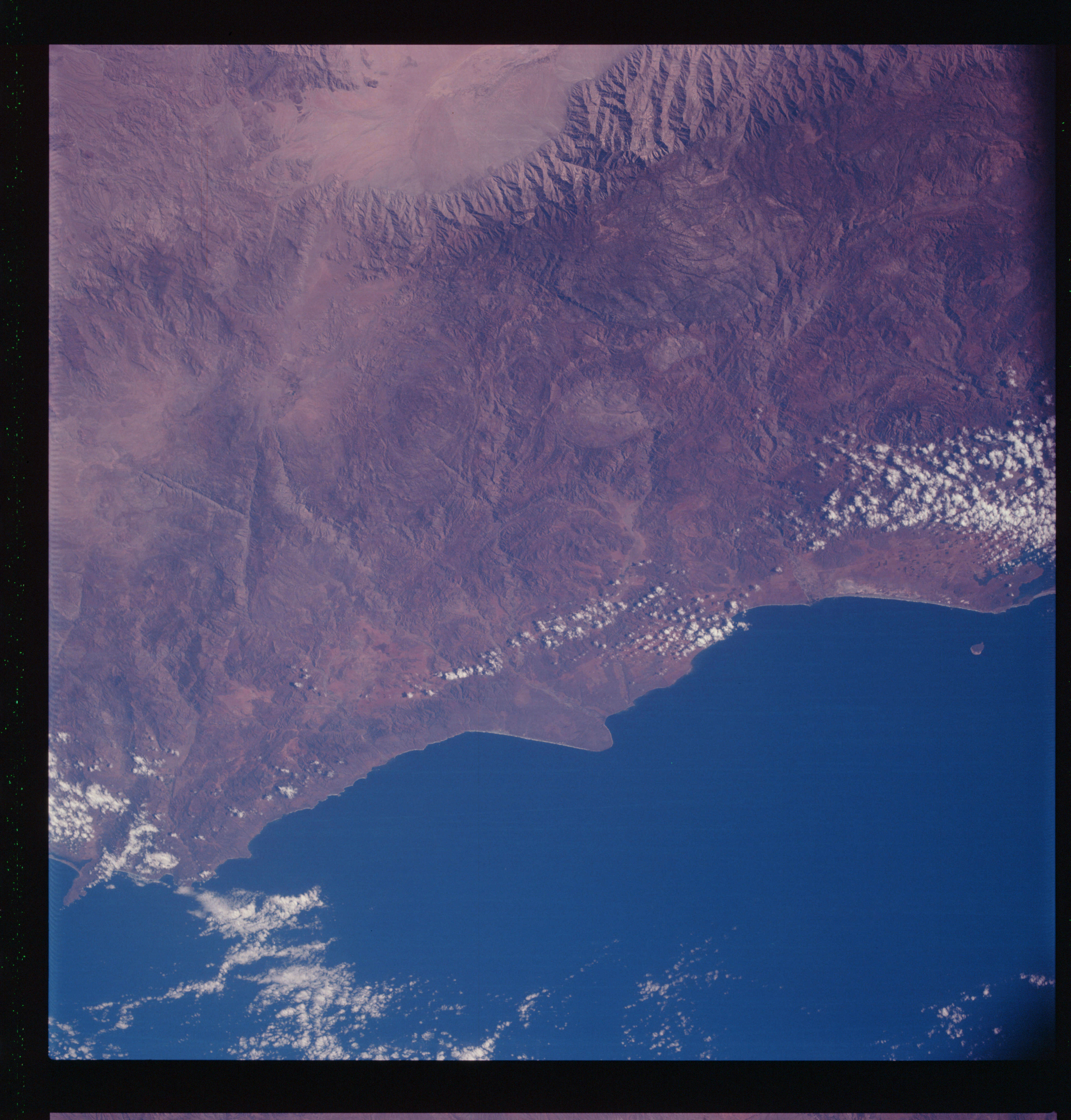 | AS07-07-1795 GEOGRAPHY/CARTOGRAPHY: Mexico; Baja, California; Punta Colmett, Sierra San Pedro, Matir Mts. GEOLOGY/HYDROLOGY: Narrow coastal plain, plateau and complex fold - mountain range - trellis drainage. METEOROLOGY: Cumulus. Image credit: Image Science and Analysis Laboratory, NASA-Johnson Space Center. |
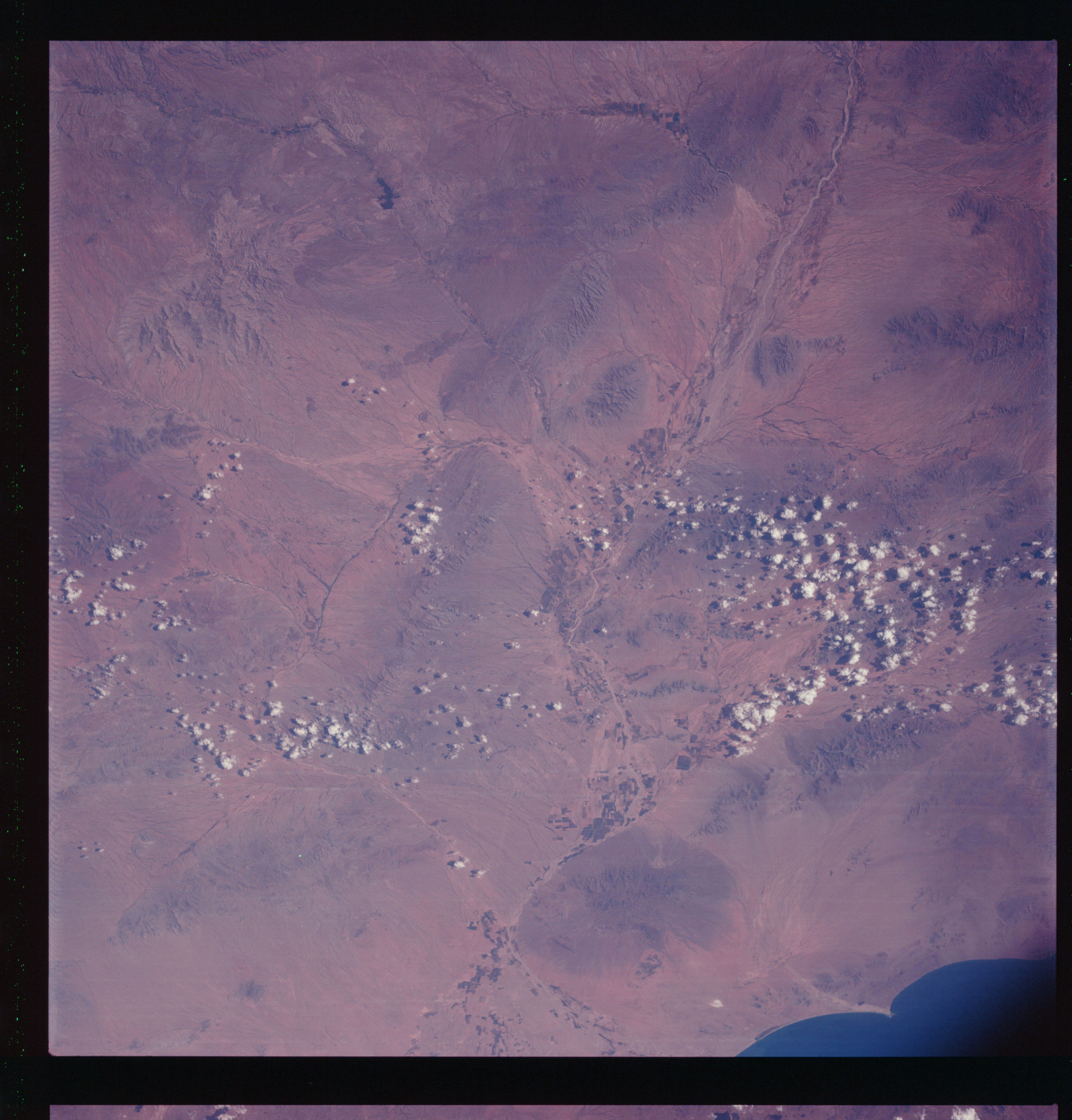 | AS07-07-1796 GEOGRAPHY/CARTOGRAPHY: Mexico: Sorora, Caborca, Rio Magdolana. GEOLOGY/HYDROLOGY: Complex hills, plateau and alluvial plains, dendritic drainage. METEOROLOGY: Cumulus. AGRICULTURE: Field patterns, grazing land. Image credit: Image Science and Analysis Laboratory, NASA-Johnson Space Center. |
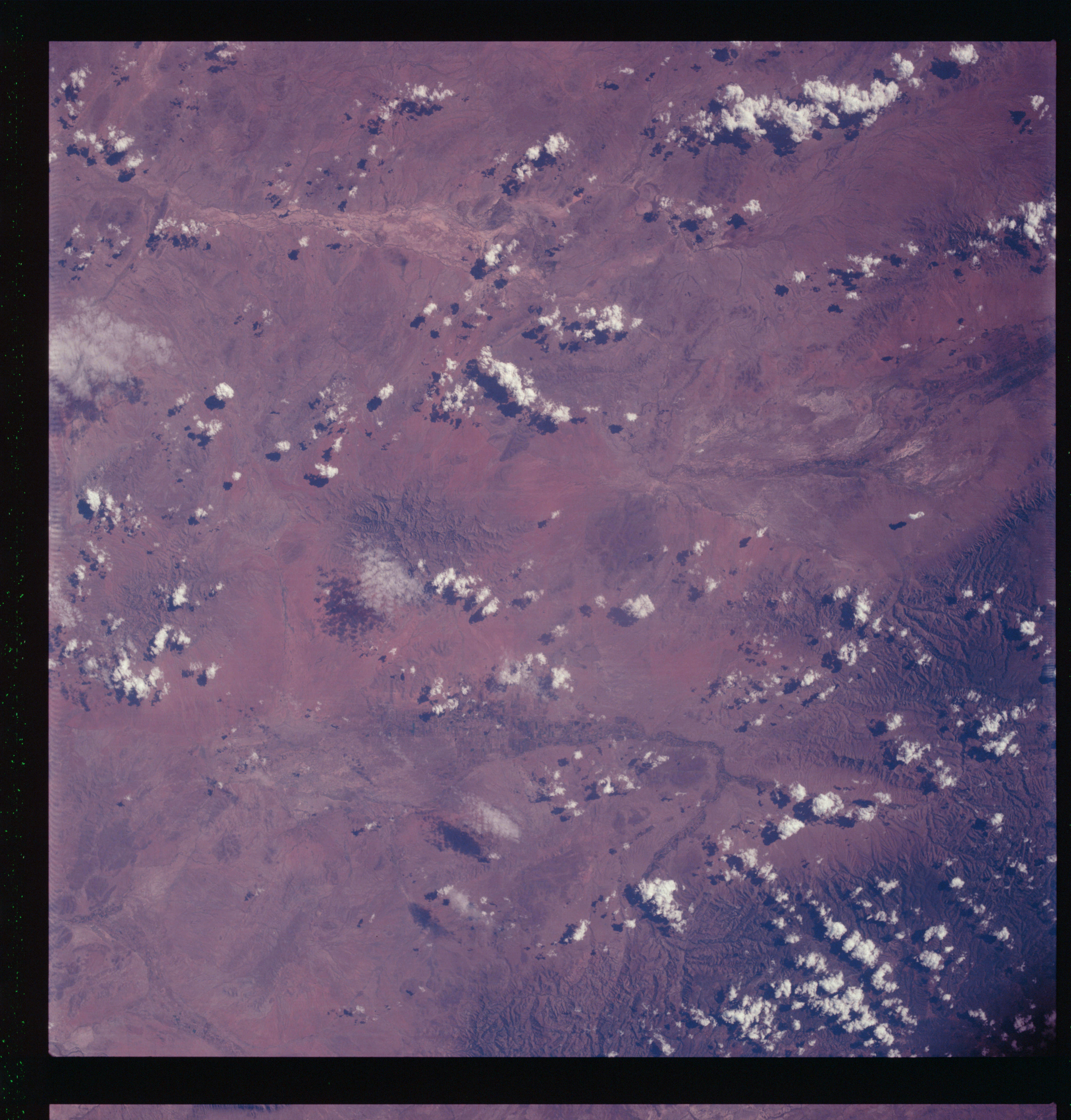 | AS07-07-1797 GEOGRAPHY/CARTOGRAPHY: Mexico: Nuevo Casas Granele, Rio de Santa Maria, Rio de Casas Grandes. GEOLOGY/HYDROLOGY: Complex plateau and folded mountains, trellis drainage. METEOROLOGY: Towering cumulus. FORESTRY: Forest along major streams. Image credit: Image Science and Analysis Laboratory, NASA-Johnson Space Center. |
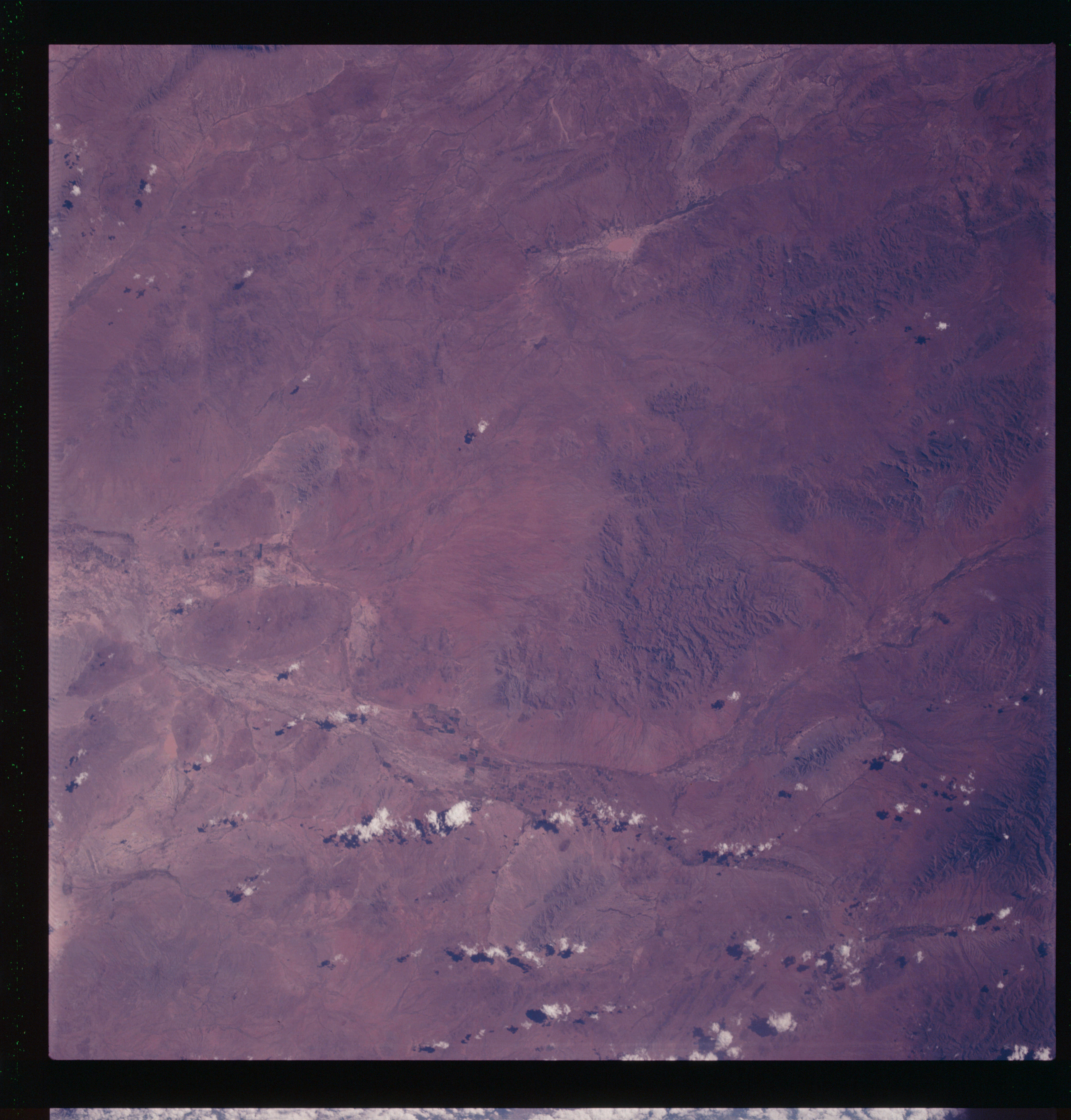 | AS07-07-1798 GEOGRAPHY/CARTOGRAPHY: Mexico: Villa Alumeda, Luguna de Patos. GEOLOGY/HYDROLOGY: Complex range, alluvial plain, and dendritic drainage. METEOROLOGY: Cumulus. AGRICULTURE: Field patterns in the valley. Image credit: Image Science and Analysis Laboratory, NASA-Johnson Space Center. |
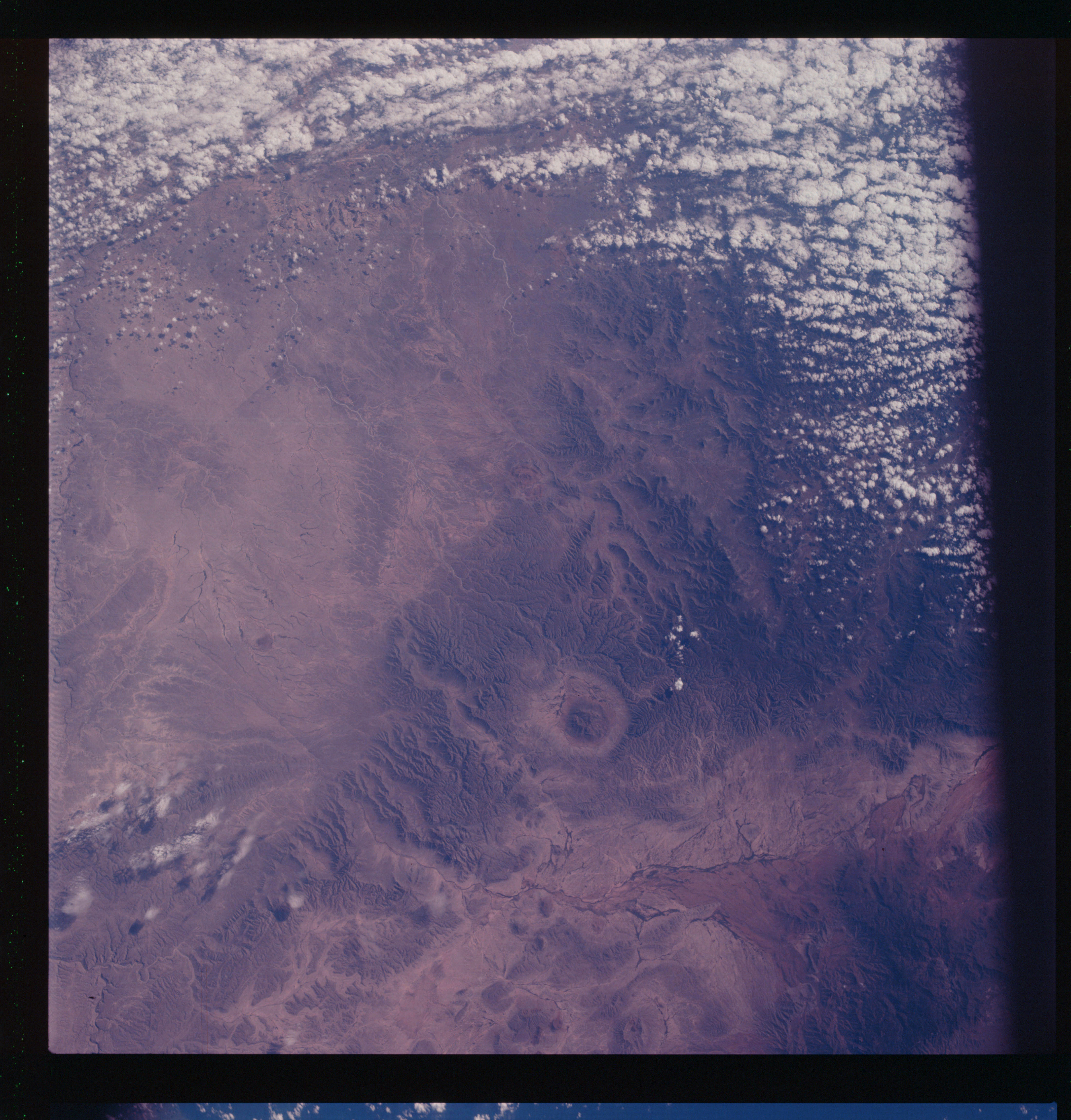 | AS07-07-1799 GEOGRAPHY/CARTOGRAPHY: Mexico – U.S., Texas Border Comstock, Rio Grande, Serrias Del Burros. GEOLOGY/HYDROLOGY: Complete and volcanic range and alluvial regions with trellis drainage. METEOROLOGY: Towering cumulus. FORESTRY: Intermittent forest lands on hills. Image credit: Image Science and Analysis Laboratory, NASA-Johnson Space Center. |
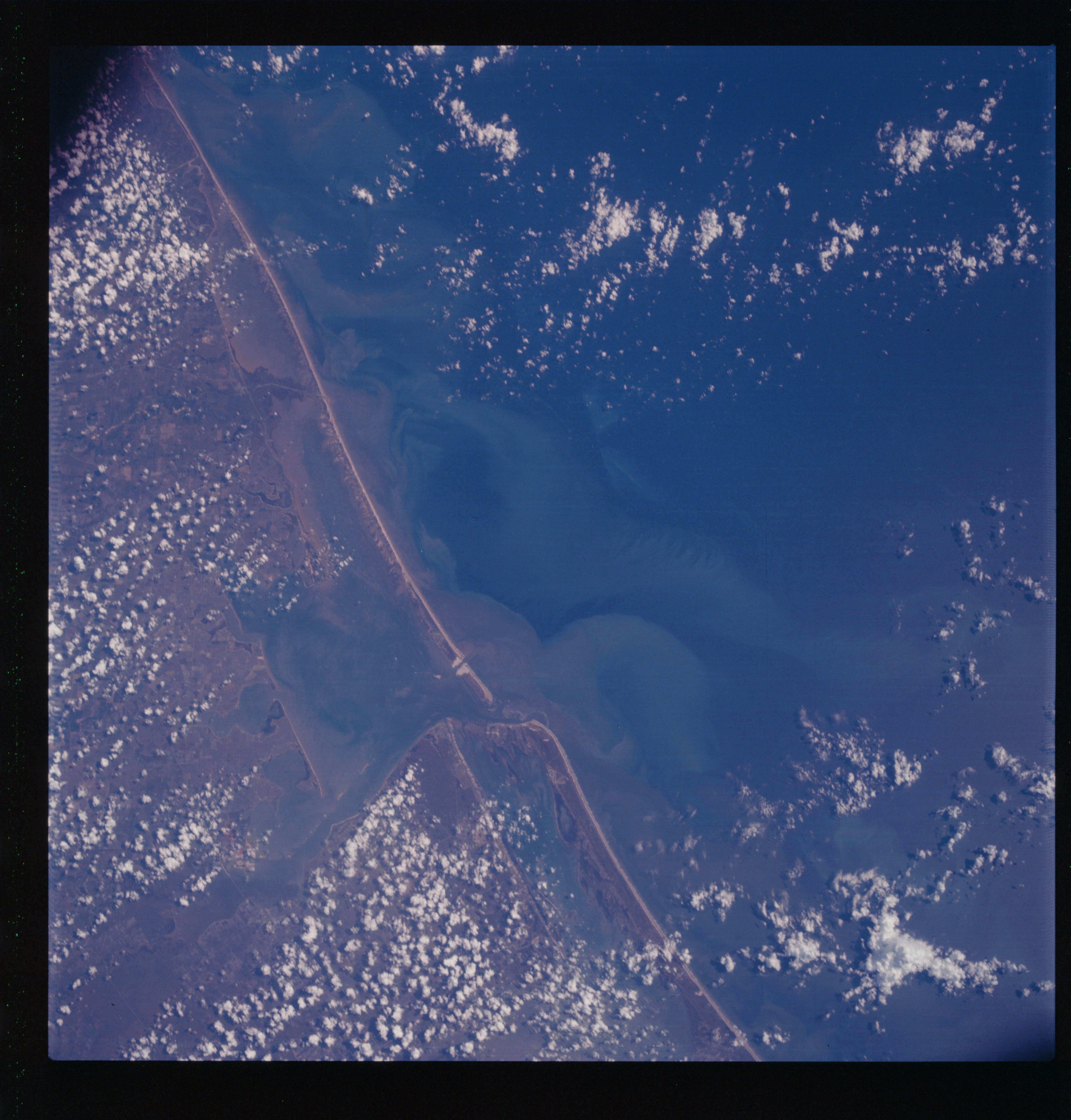 | AS07-07-1800 GEOGRAPHY/CARTOGRAPHY: Matagorda Bay, Port Lavaca, Texas – urban development – regional transportation network. GEOLOGY/HYDROLOGY: Coastal plain with a shoreline of emergence. METEOROLOGY: Cumulus. OCEANOGRAPHY: Temperature and depth differences along coastal waters with distinct currents noted. Image credit: Image Science and Analysis Laboratory, NASA-Johnson Space Center. |
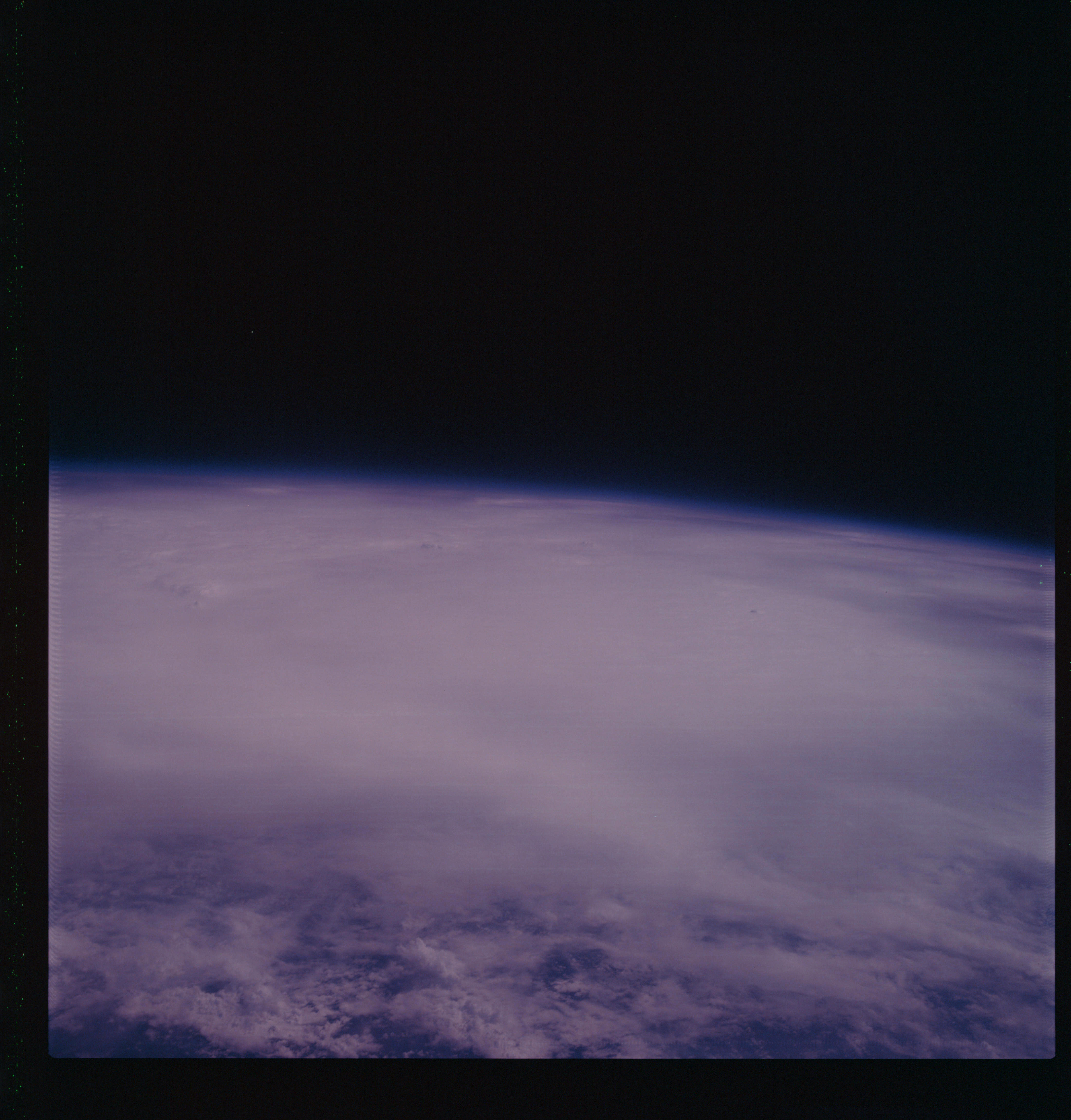 | AS07-07-1801 METEOROLOGY: Hurricane Gladys, Gulf of Mexico. (Dark) Image credit: Image Science and Analysis Laboratory, NASA-Johnson Space Center. |
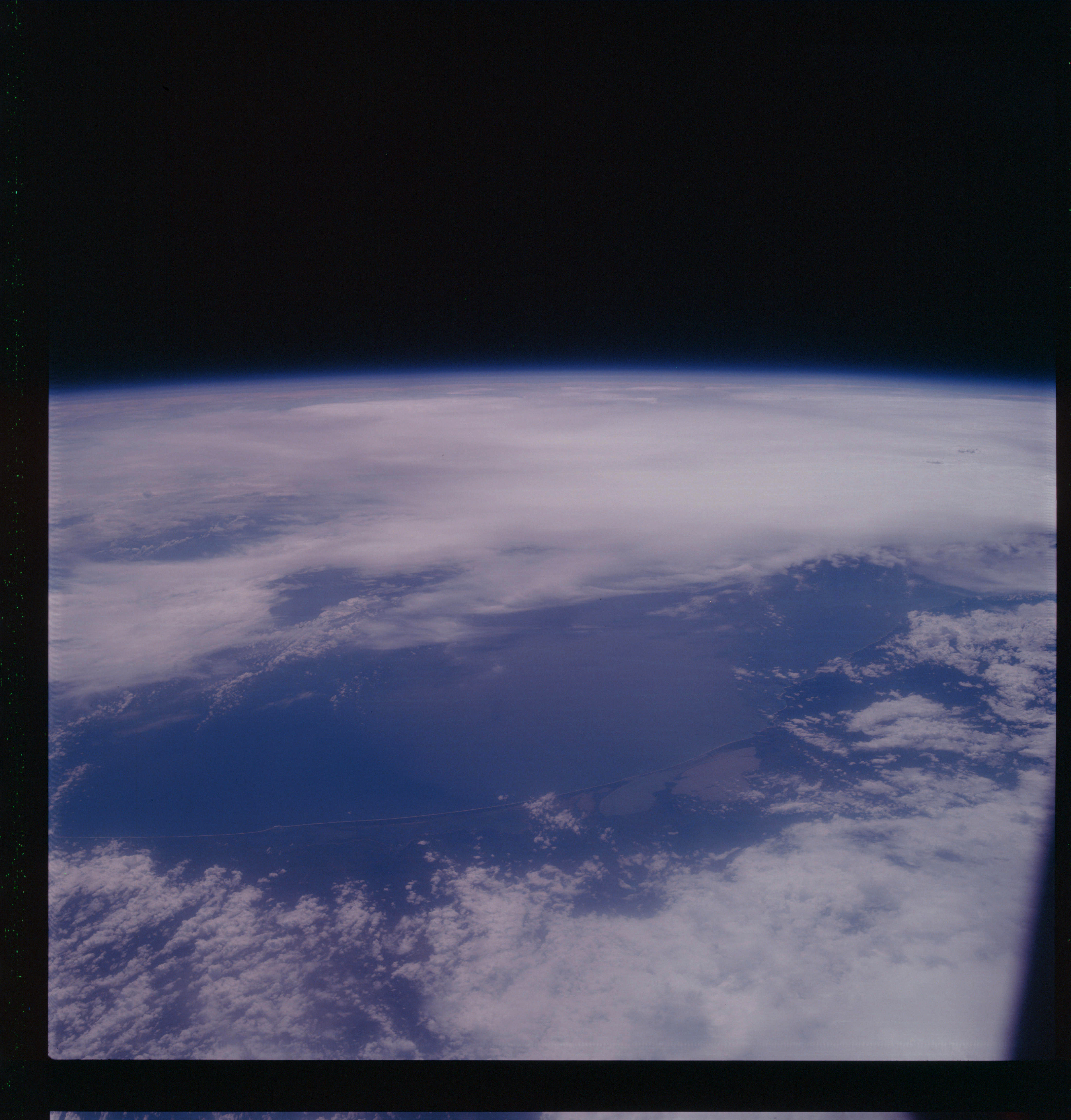 | AS07-07-1802 GEOGRAPHY/CARTOGRAPHY: Mexico:Tehauntepec Area GEOLOGY/HYDROLOGY: Coastal plain region. METEOROLOGY: Cumulus, thick cirrus. Image credit: Image Science and Analysis Laboratory, NASA-Johnson Space Center. |
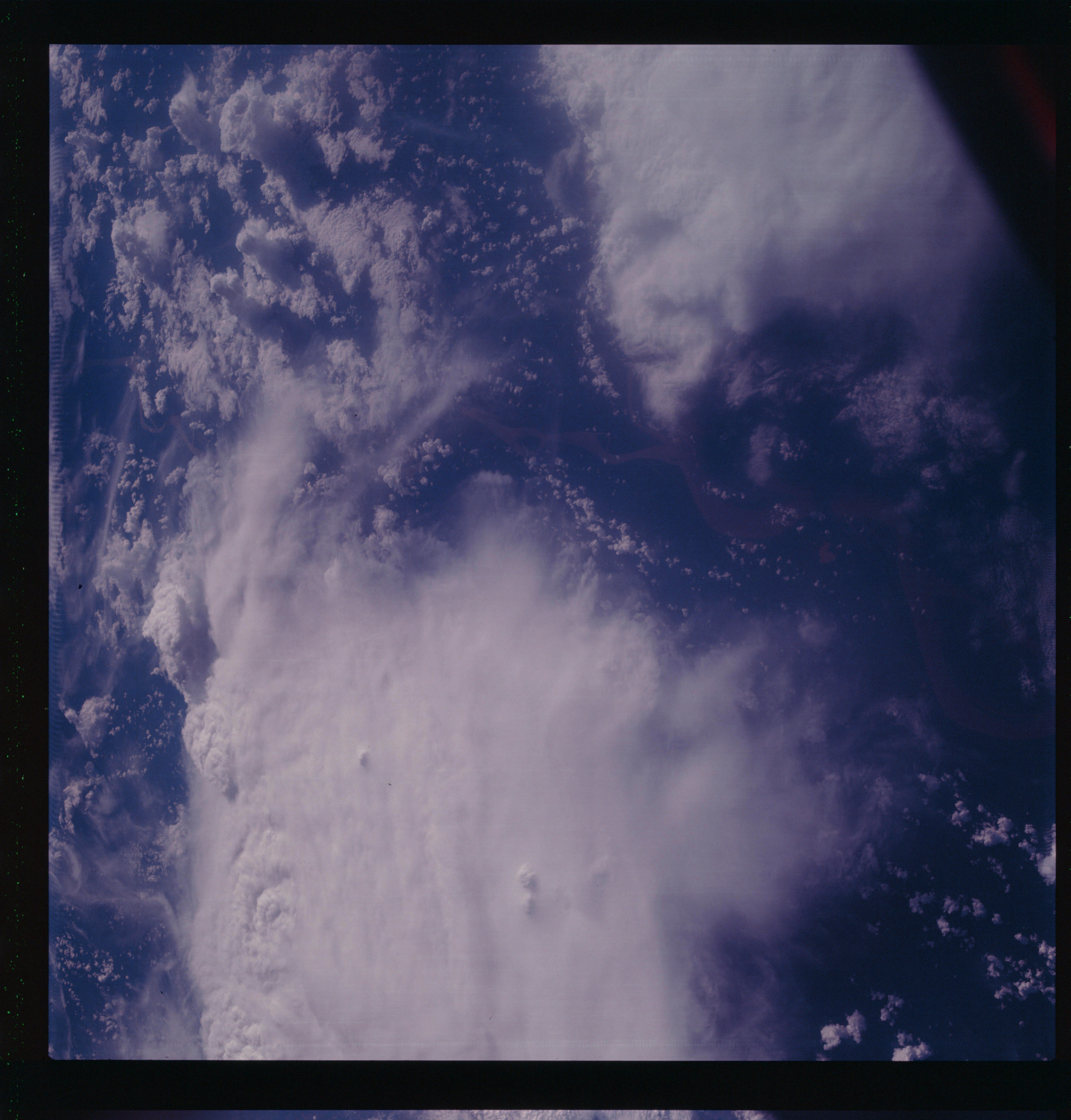 | AS07-07-1803 GEOGRAPHY/CARTOGRAPHY: Brazil, Amazon Basin. (Dark) METEOROLOGY: Cumulus-nimbus, strato-cumulus, thick cirrus. Too dark to extract any other information. Image credit: Image Science and Analysis Laboratory, NASA-Johnson Space Center. |
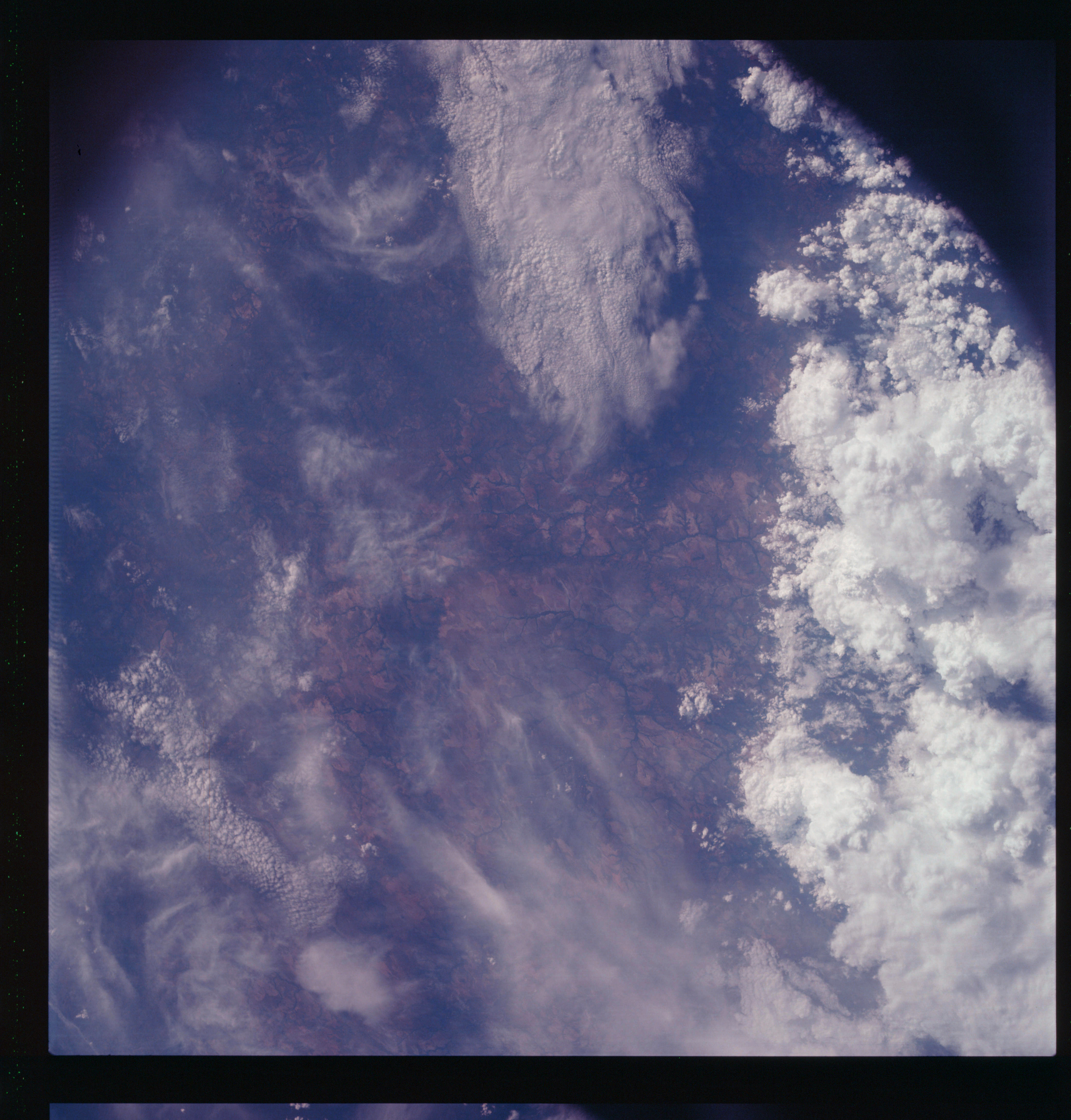 | AS07-07-1804 GEOGRAPHY/CARTOGRAPHY: Northwestern Brazil. (Dark) GEOLOGY/HYDROLOGY: Low dissected plateau, trellis drainage. METEOROLOGY: Cumulus-nimbus, strato-cumulus, cirrus. Image credit: Image Science and Analysis Laboratory, NASA-Johnson Space Center. |
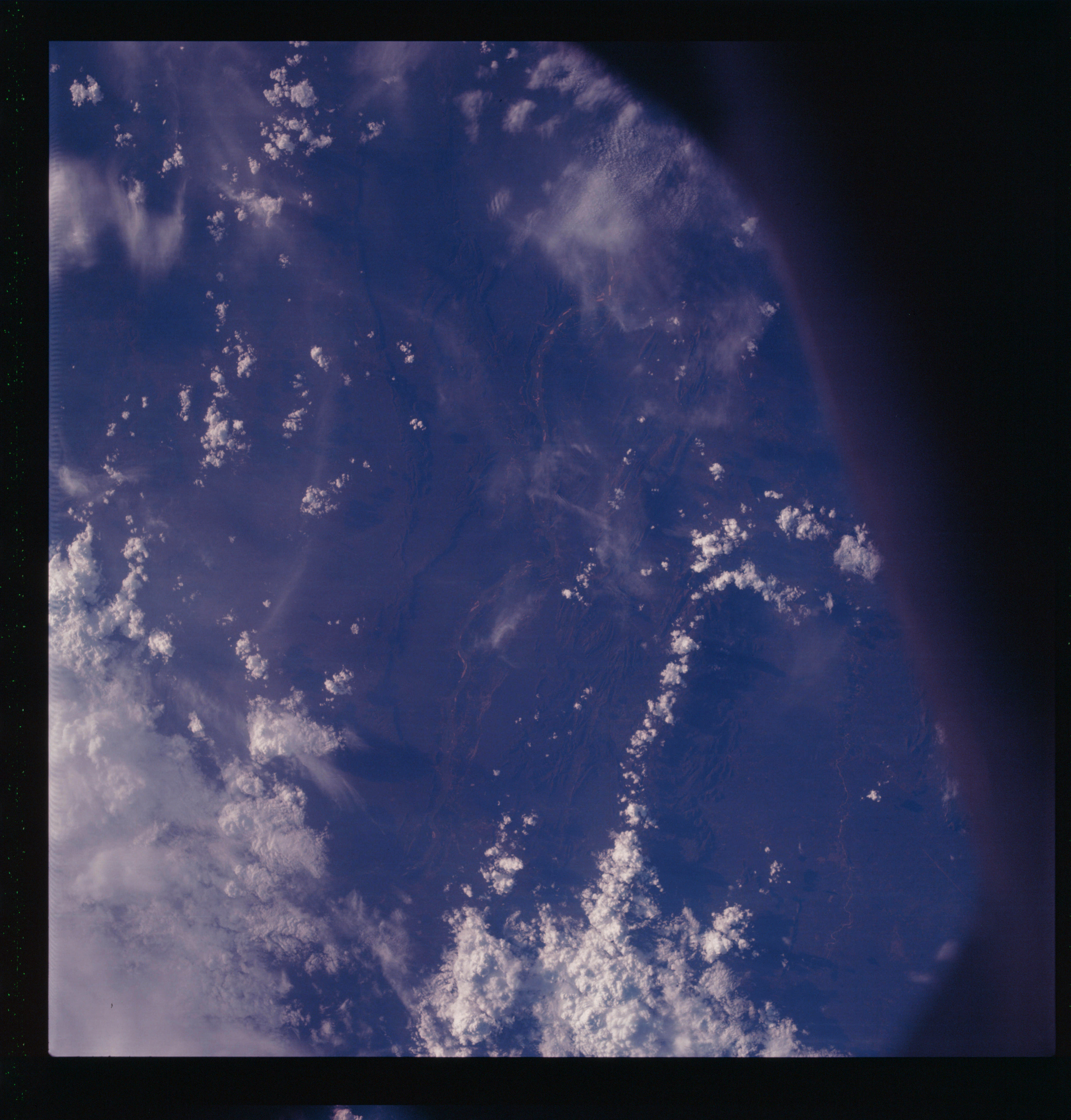 | AS07-07-1805 GEOGRAPHY/CARTOGRAPHY: South Africa. (Dark) METEOROLOGY: Towering cumulus, cirrus. Image credit: Image Science and Analysis Laboratory, NASA-Johnson Space Center. |
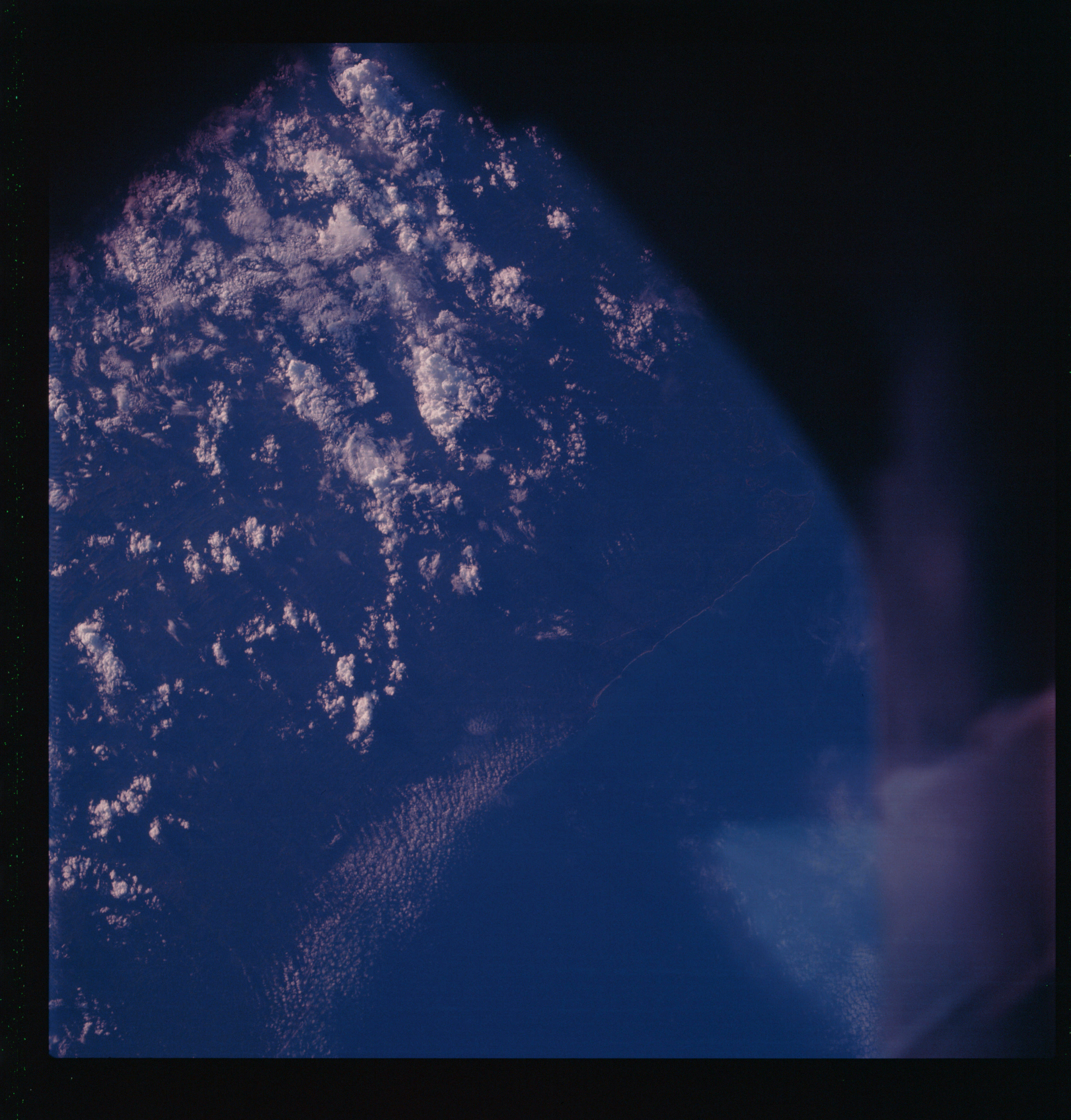 | AS07-07-1806 GEOGRAPHY/CARTOGRAPHY: South Africa, near Durban. (Dark) METEOROLOGY: Small cumulus, towering cumulus. Image credit: Image Science and Analysis Laboratory, NASA-Johnson Space Center. |
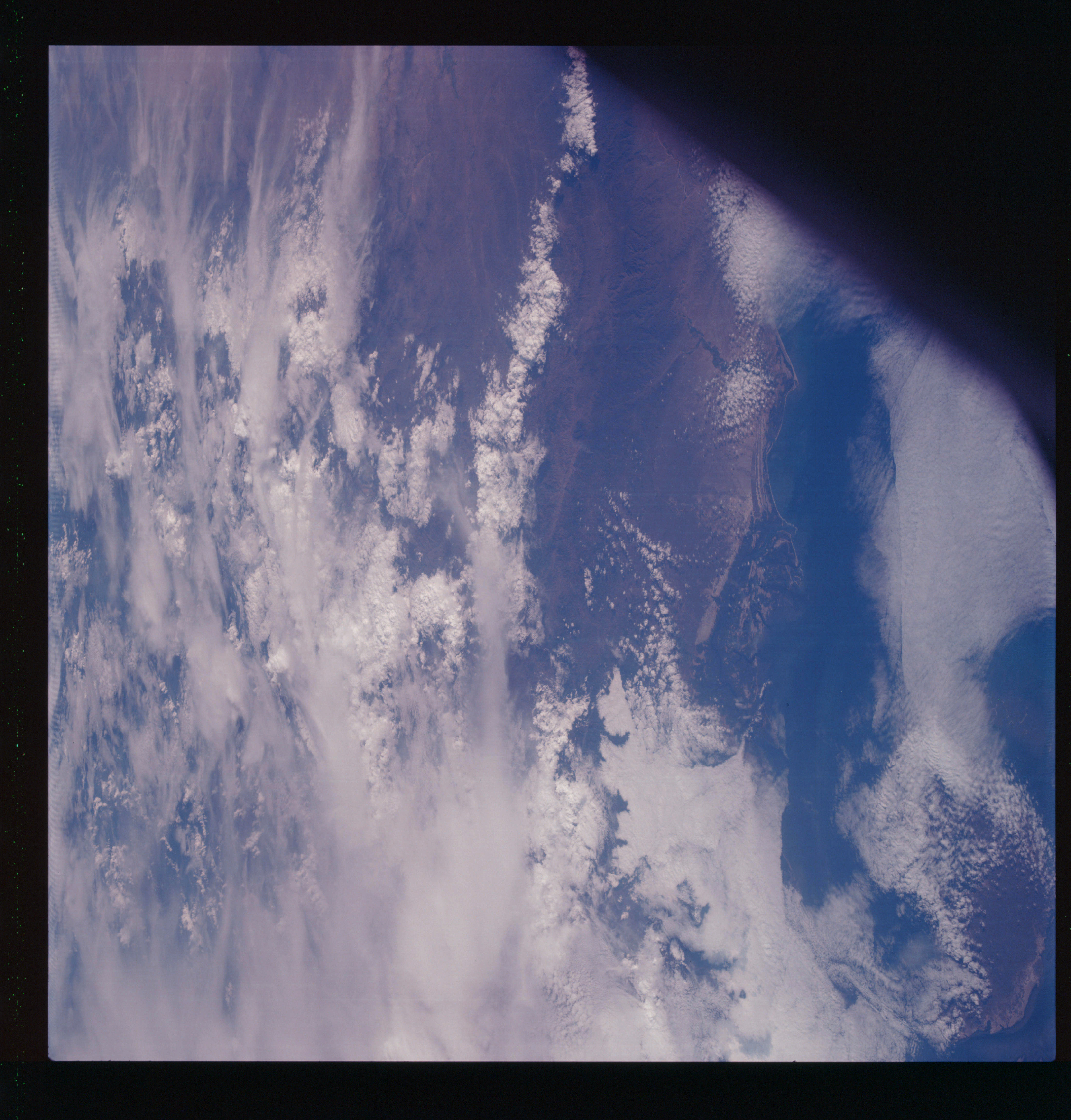 | AS07-07-1807 GEOGRAPHY/CARTOGRAPHY: Equador, Peru, Gulf of Guayaquil. (Dark) GEOLOGY/HYDROLOGY: Complex coastal mountain range and a shoreline of submergence. METEOROLOGY: Strato-cumulus, cirrus. Image credit: Image Science and Analysis Laboratory, NASA-Johnson Space Center. |
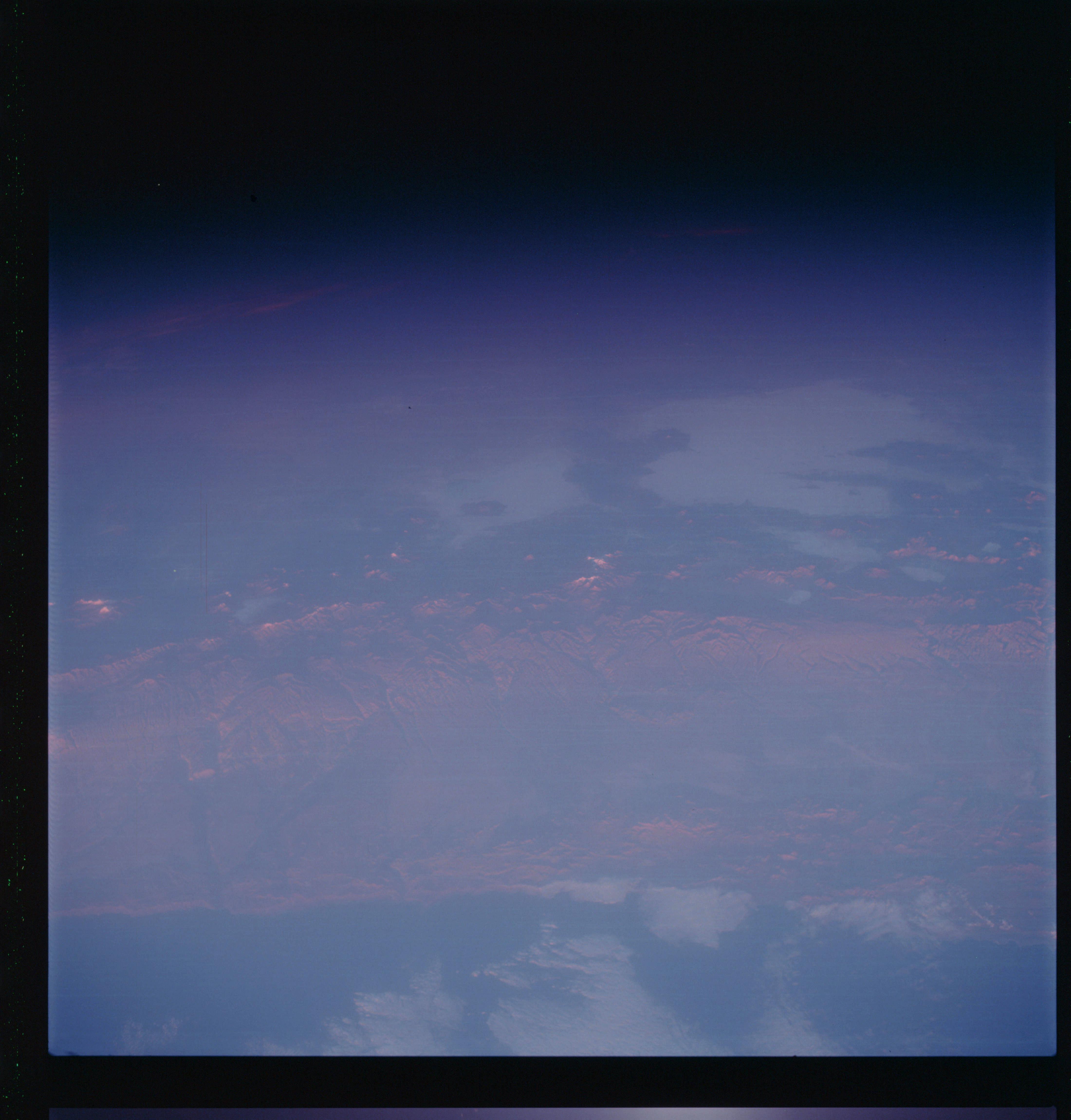 | AS07-07-1808 GEOGRAPHY/CARTOGRAPHY: Chile, coast north of Antofagasta. (Light) GEOLOGY/HYDROLOGY: Complex mountains of the Andes, parallel to the coast. Image credit: Image Science and Analysis Laboratory, NASA-Johnson Space Center. |
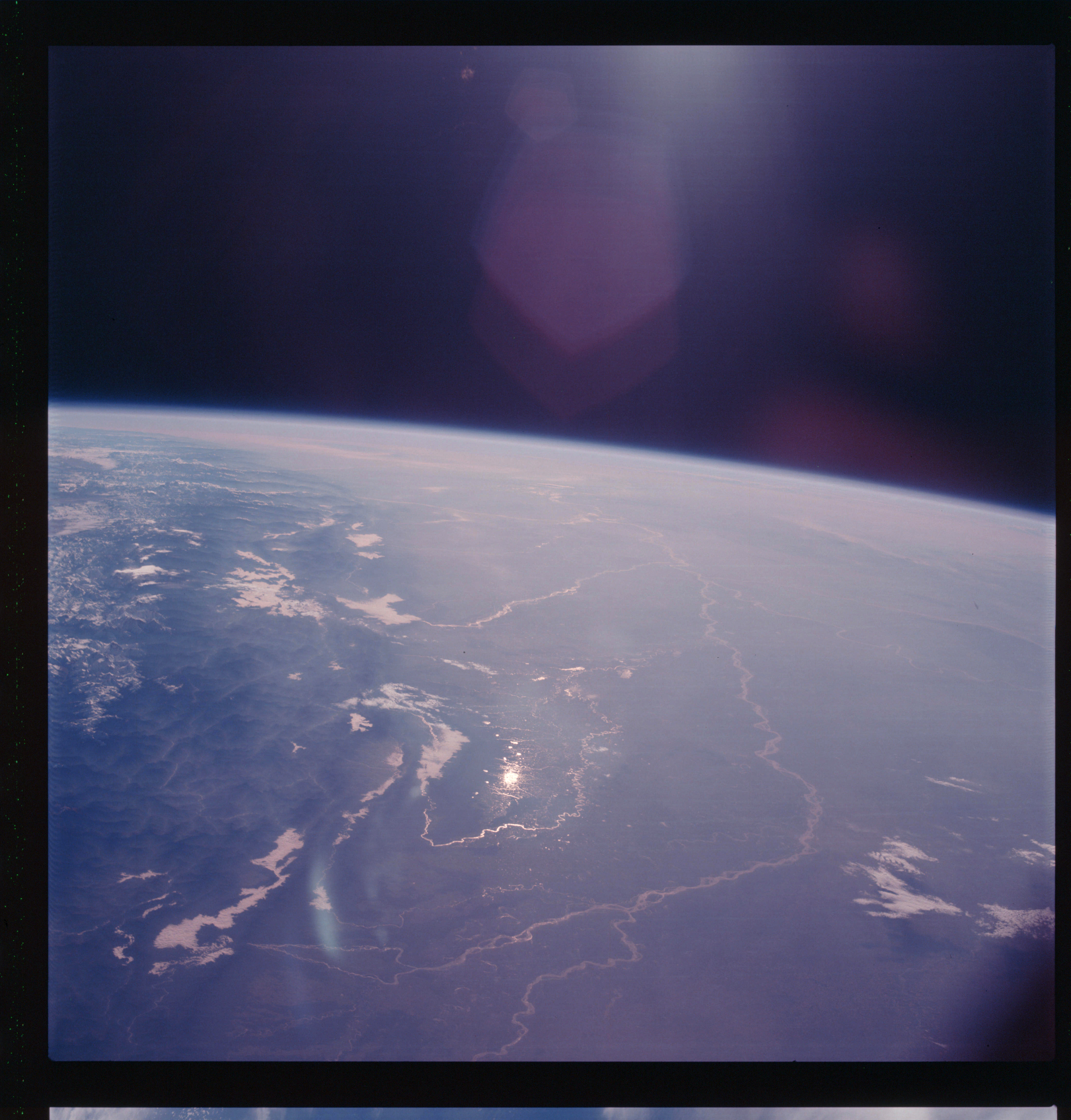 | AS07-07-1809 GEOGRAPHY/CARTOGRAPHY: Nepal, India, Tibet, Himalayas, Ganges Plains, Annapurna, Dhaulagiri. (Light) GEOLOGY/HYDROLOGY: Complex mountains and alluvial plains. FORESTRY: Mountains forested. Image credit: Image Science and Analysis Laboratory, NASA-Johnson Space Center. |
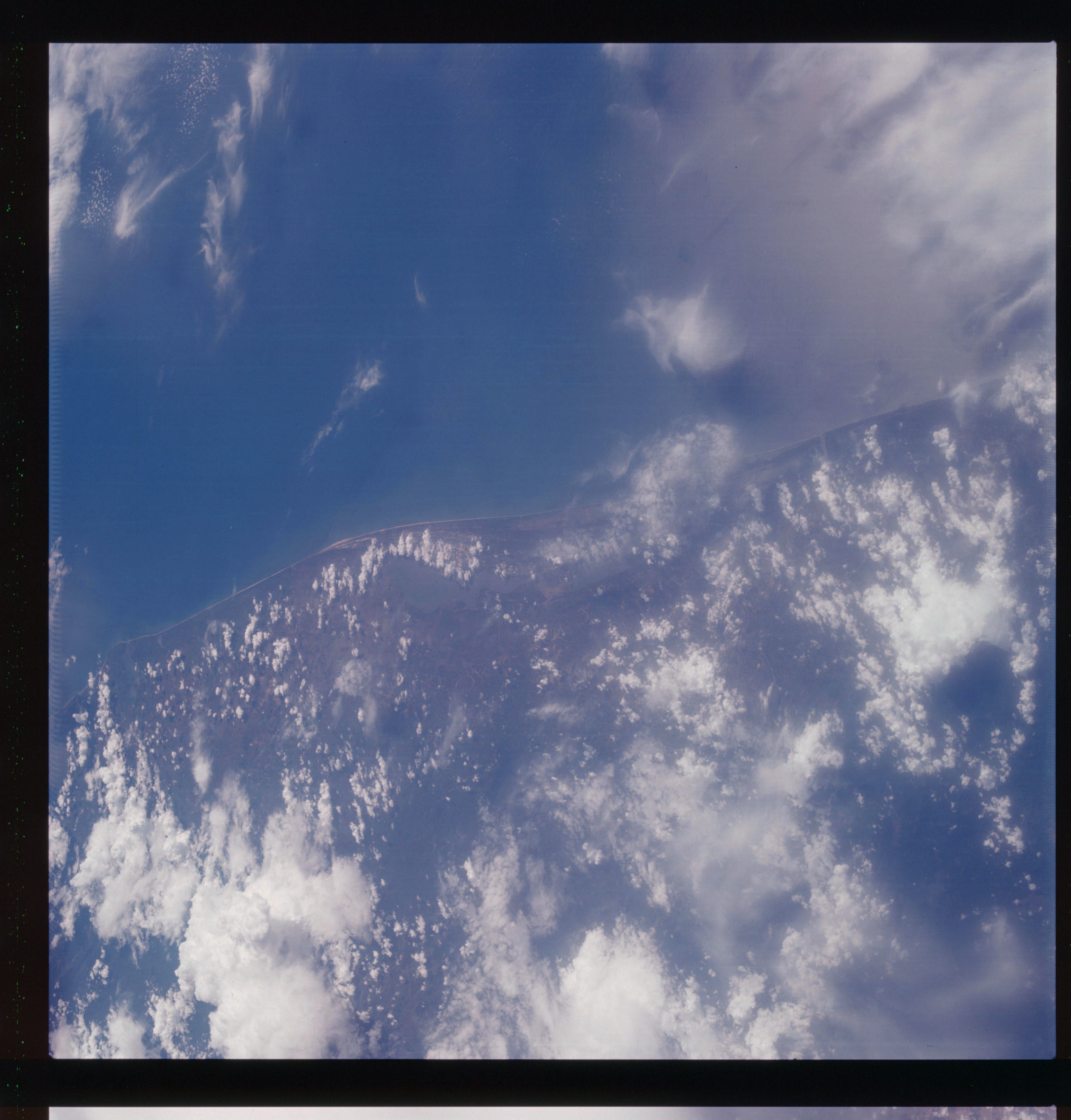 | AS07-07-1810 GEOGRAPHY/CARTOGRAPHY: India: coast at Alleppey, Laccadiva Sea, Chochin. (Dark) GEOLOGY/HYDROLOGY: Coastal plain and shoreline of emergance. METEOROLOGY: Cumulus, alto-cumulus, cirrus. Image credit: Image Science and Analysis Laboratory, NASA-Johnson Space Center. |
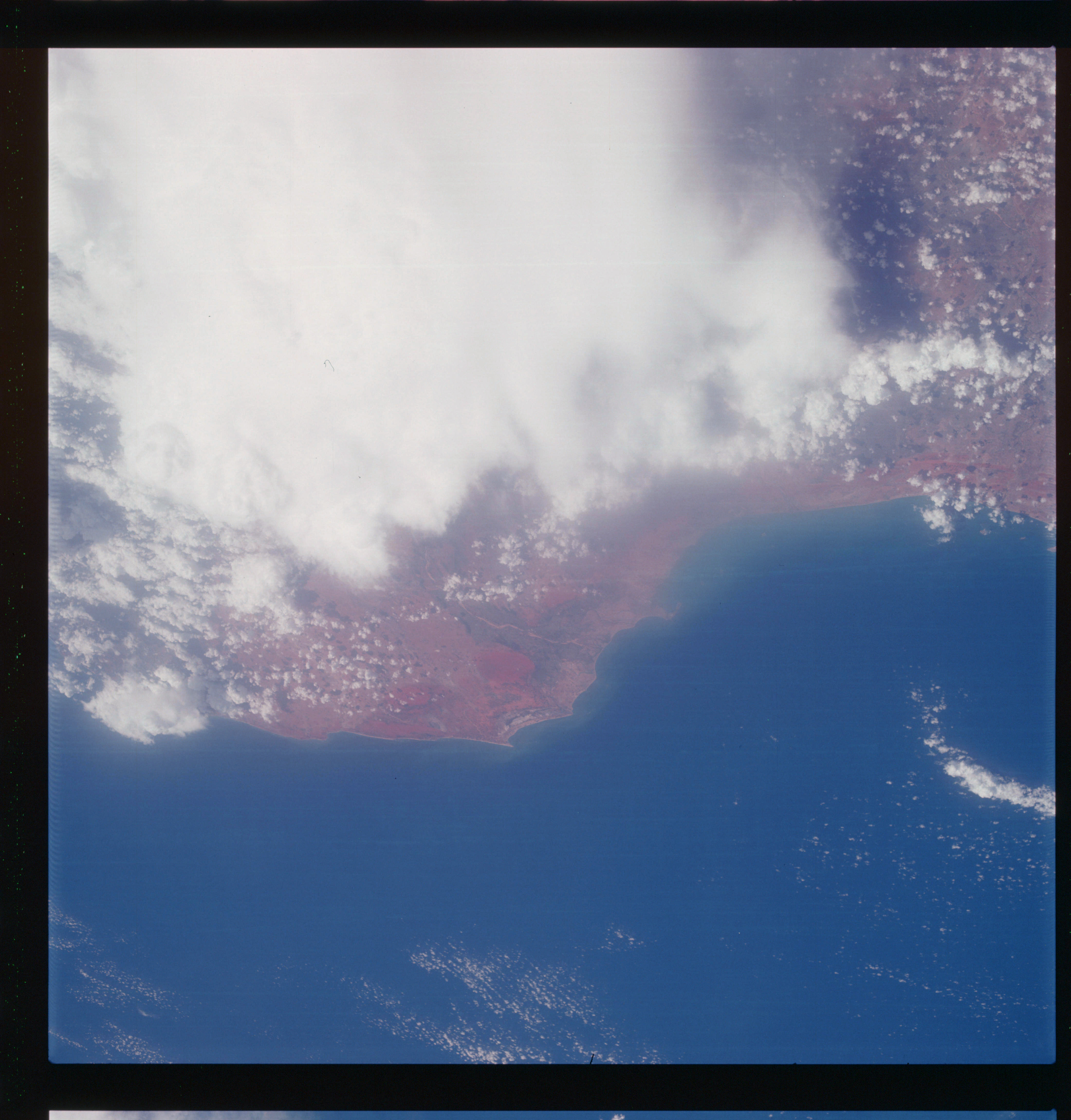 | AS07-07-1811 GEOGRAPHY/CARTOGRAPHY: India: southwest coast. GEOLOGY/HYDROLOGY: Coastal lowland and deltaic plain. METEOROLOGY: Cumulus, thick cirrus, alto-cumulus. FORESTRY: Intermittent forest and short shrubs along rivers. OCEANOGRAPHY: Ocean depth differences indicating the extent of the continental shelf. Image credit: Image Science and Analysis Laboratory, NASA-Johnson Space Center. |
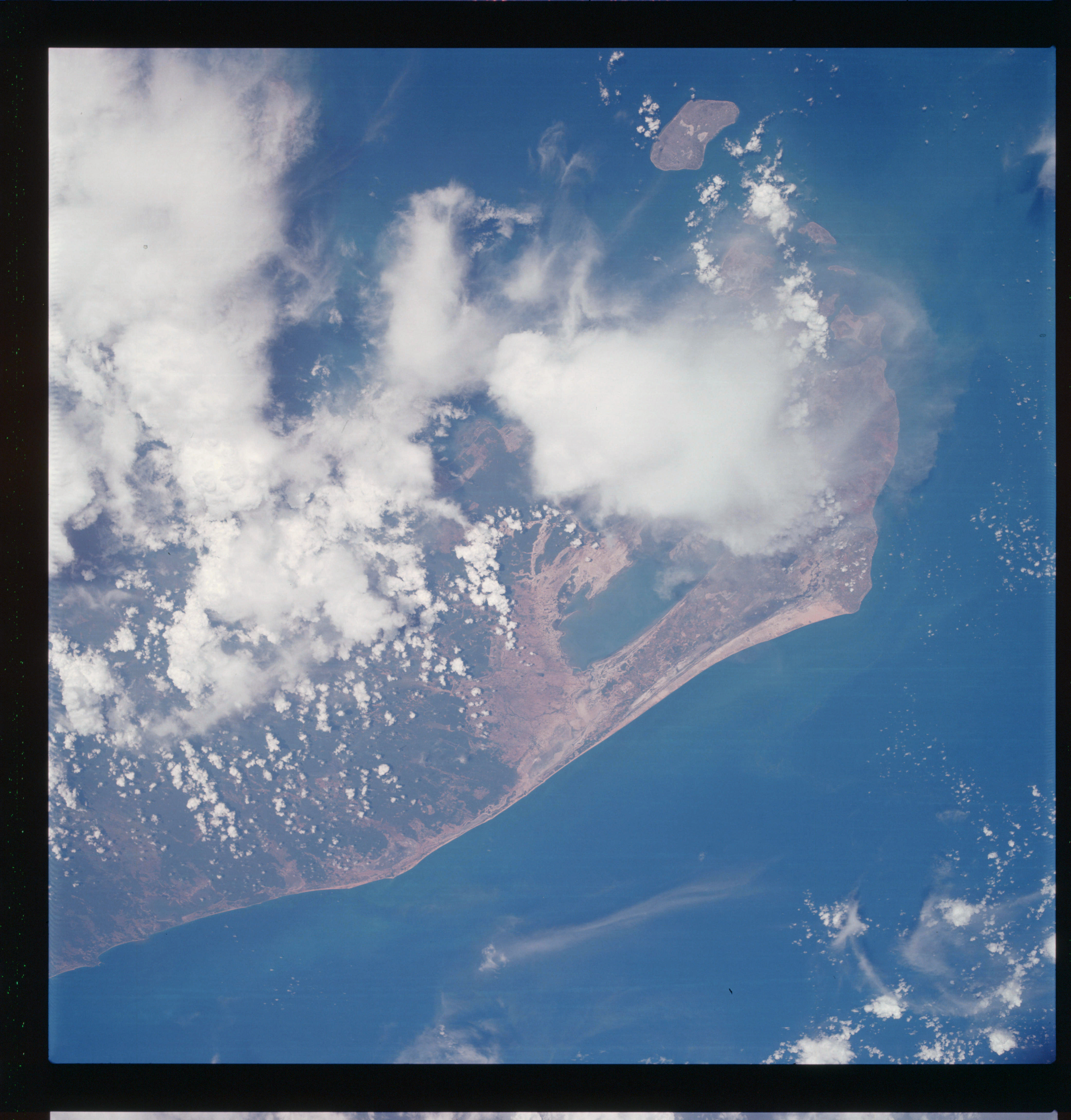 | AS07-07-1812 GEOGRAPHY/CARTOGRAPHY: Ceylon: Palk Bay, Palk Strait, Jaffua, Delft Island, Point Pedro. GEOLOGY/HYDROLOGY: Coastal lowland. METEOROLOGY: Cumulus, alto-cumulus, cirrus. FORESTRY: Intermittent forest land. Image credit: Image Science and Analysis Laboratory, NASA-Johnson Space Center. |
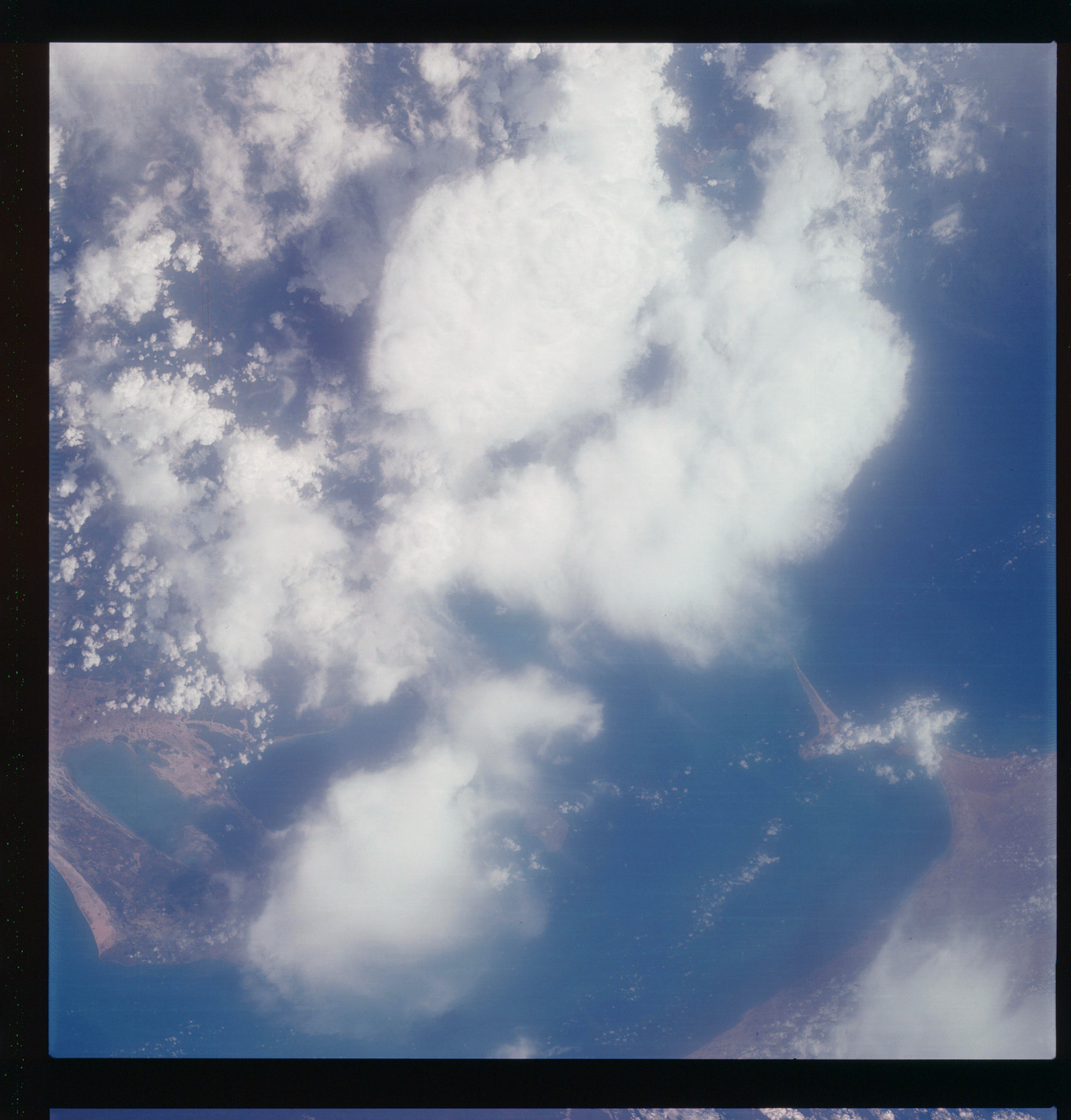 | AS07-07-1813 GEOGRAPHY/CARTOGRAPHY: Ceylon, Adair’s Bon’dge. GEOLOGY/HYDROLOGY: Coastal lowland. METEOROLOGY: Cumulus, alto-cumulus. Cirrus. Image credit: Image Science and Analysis Laboratory, NASA-Johnson Space Center. |
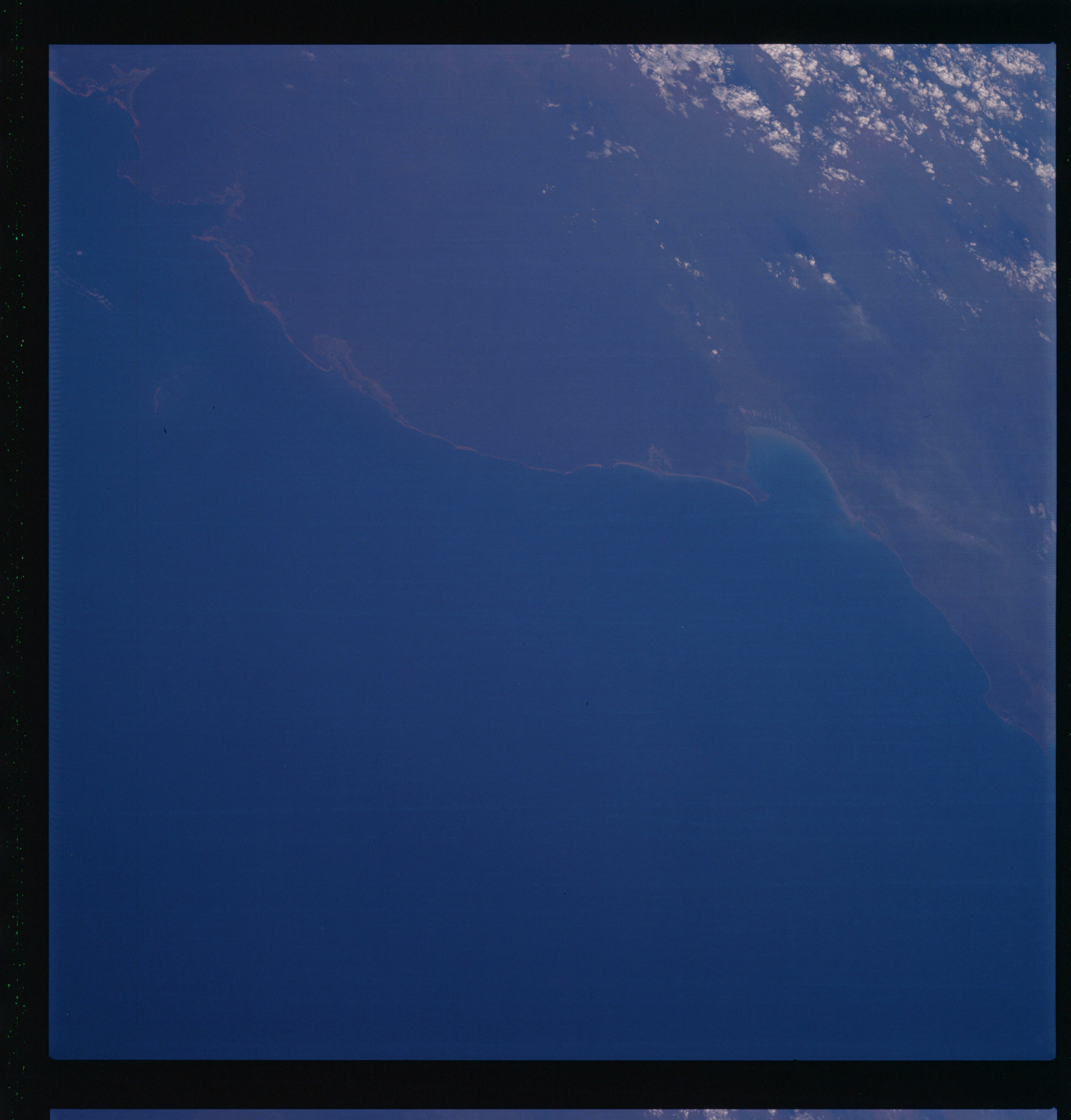 | AS07-07-1814 GEOGRAPHY/CARTOGRAPHY: Western Australia, Roebuck Bay. (Dark) METEOROLOGY: Cumulus. Image credit: Image Science and Analysis Laboratory, NASA-Johnson Space Center. |
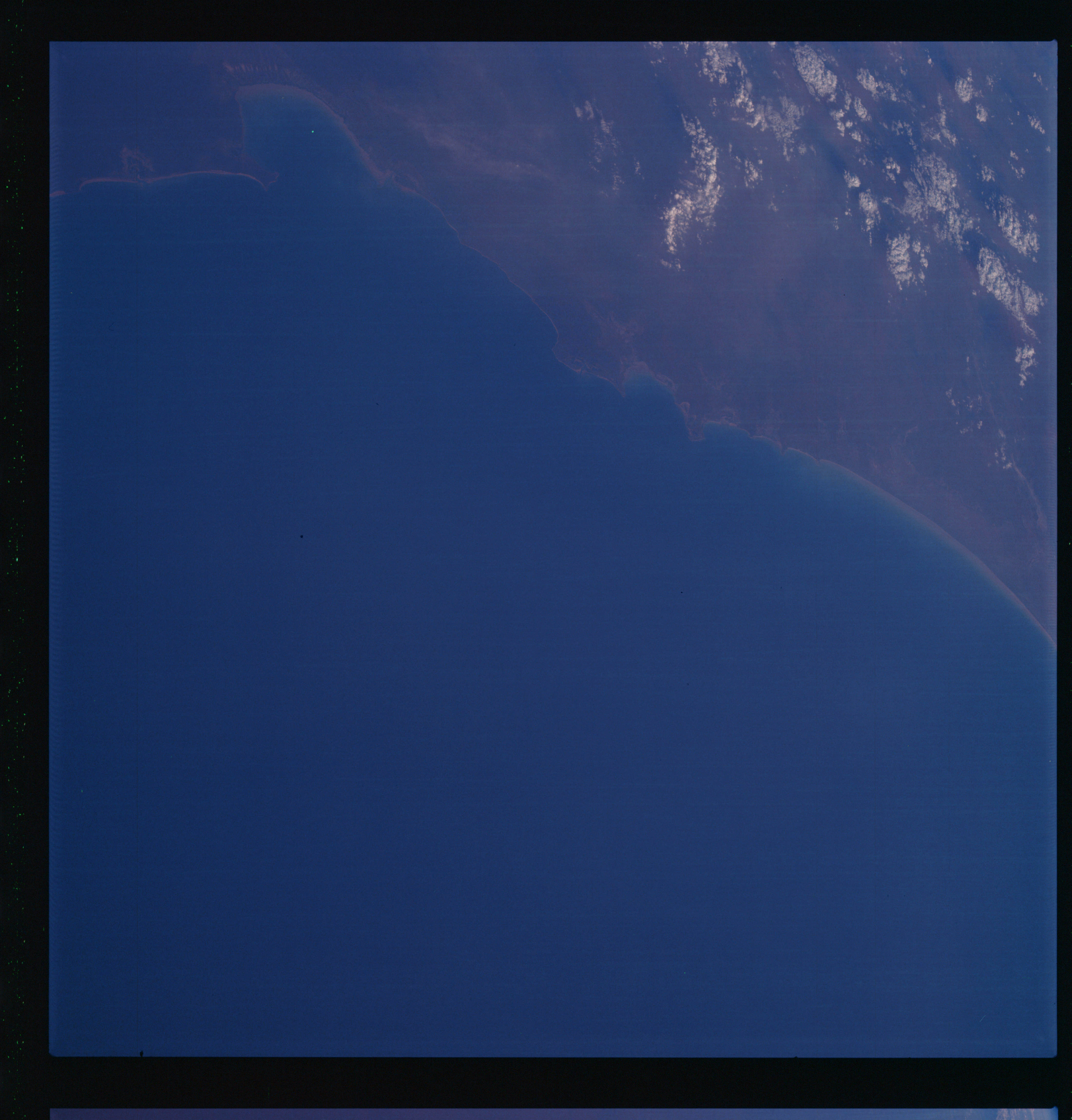 | AS07-07-1815 GEOGRAPHY/CARTOGRAPHY: Western Australia, Roebuck Bay, 80-mile beach. (Dark) METEOROLOGY: Cumulus. Image credit: Image Science and Analysis Laboratory, NASA-Johnson Space Center. |
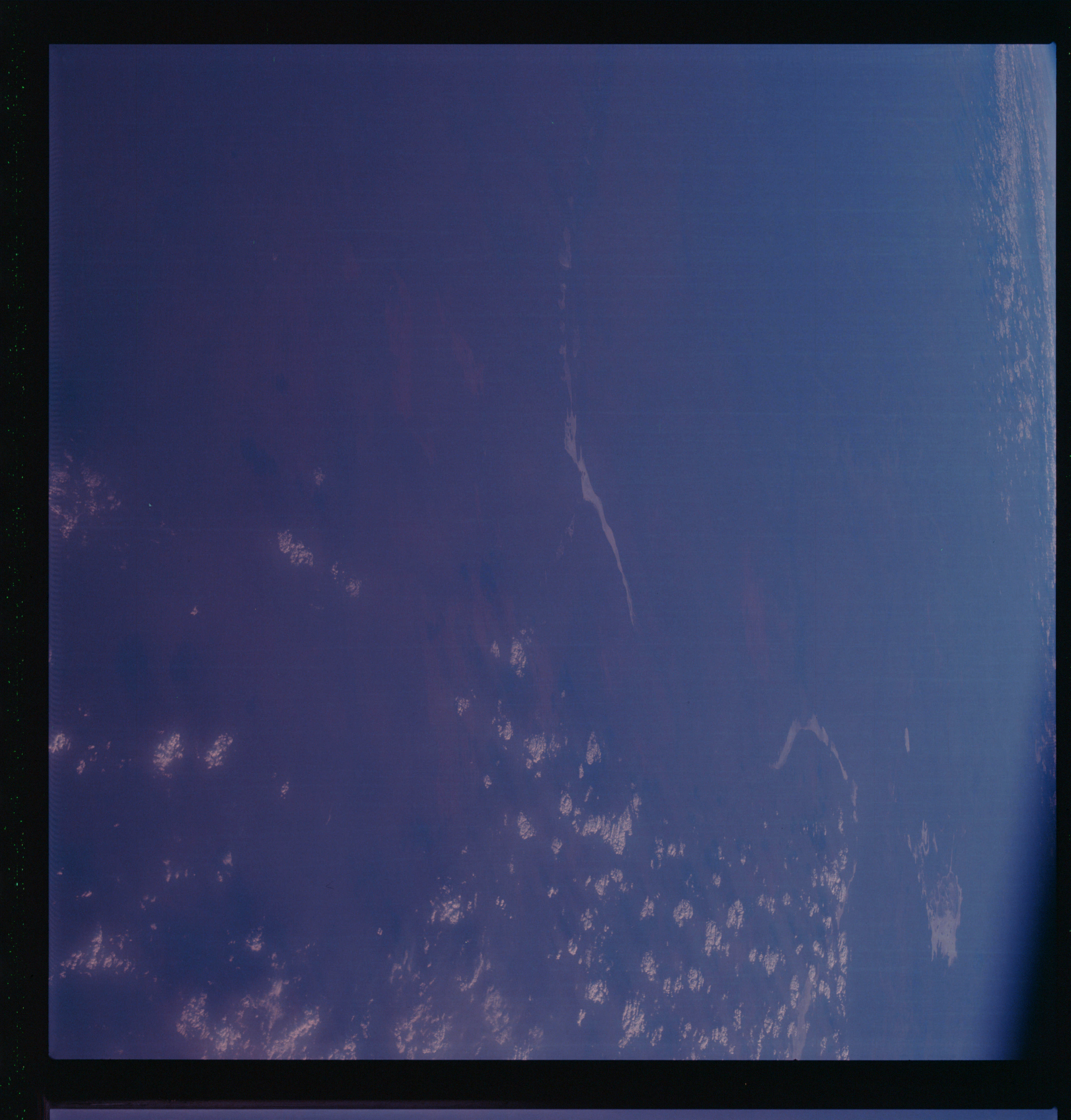 | AS07-07-1816 GEOGRAPHY/CARTOGRAPHY: Western Australia: Percival Lakes, Lake Disappointment. (Dark) METEOROLOGY: Cumulus. Image credit: Image Science and Analysis Laboratory, NASA-Johnson Space Center. |
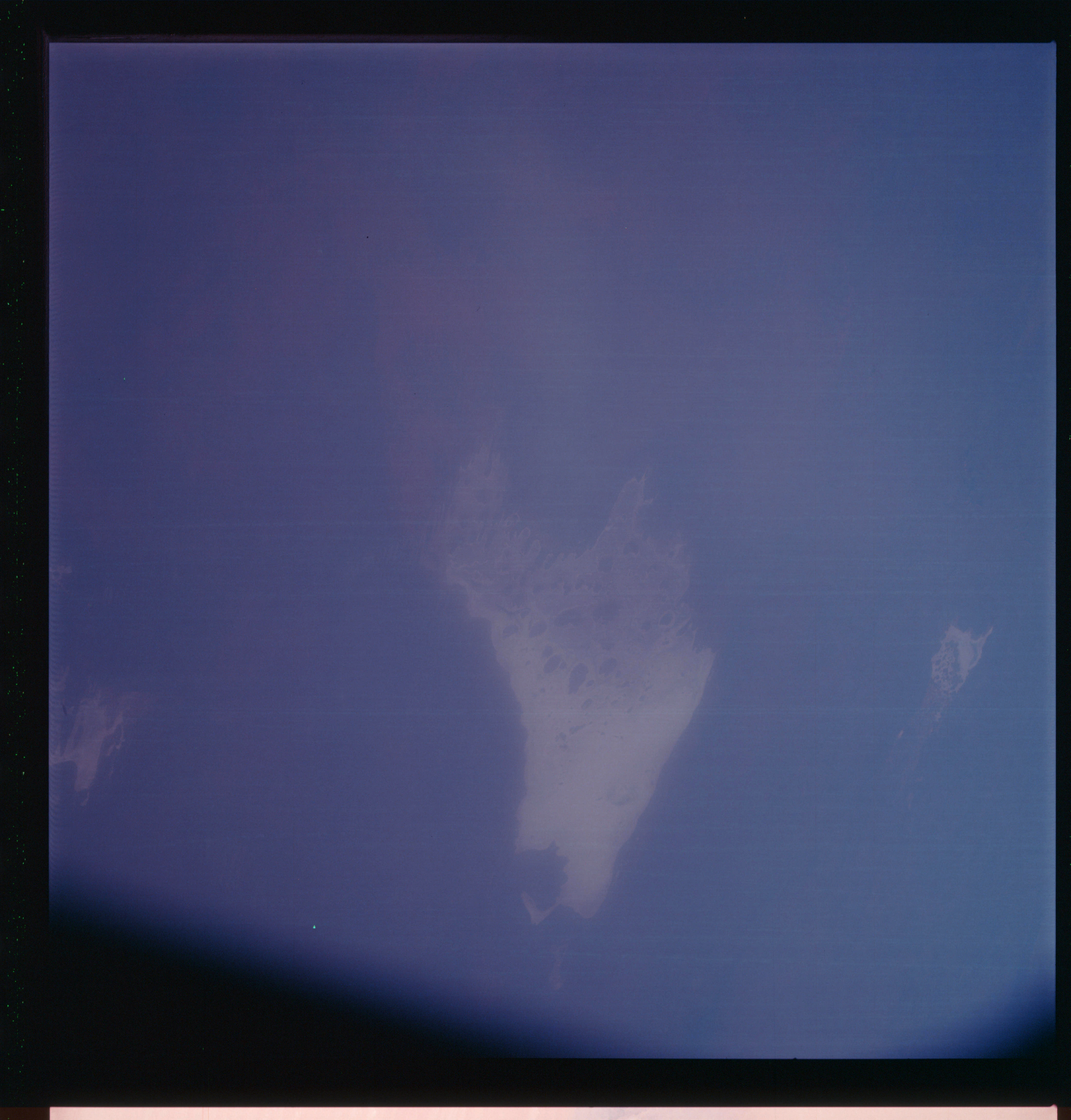 | AS07-07-1817 GEOGRAPHY/CARTOGRAPHY: Western Australia, Lake Mae Kay. (Dark) GEOLOGY/HYDROLOGY: Dry lake basin. Image credit: Image Science and Analysis Laboratory, NASA-Johnson Space Center. |
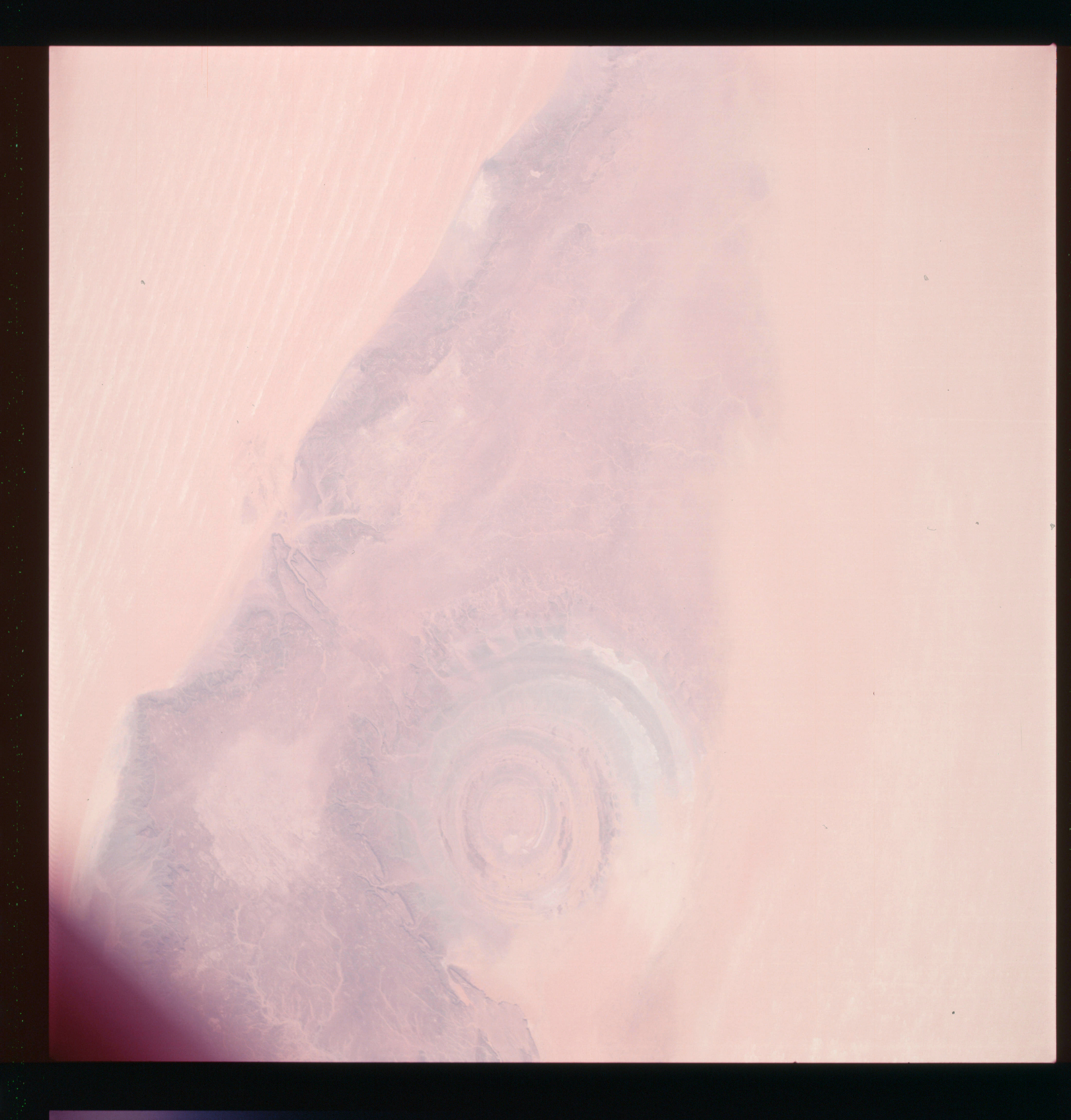 | AS07-07-1818 GEOGRAPHY/CARTOGRAPHY: Mauritania. (Light) GEOLOGY/HYDROLOGY: Low plateau and dome structure. Image credit: Image Science and Analysis Laboratory, NASA-Johnson Space Center. |
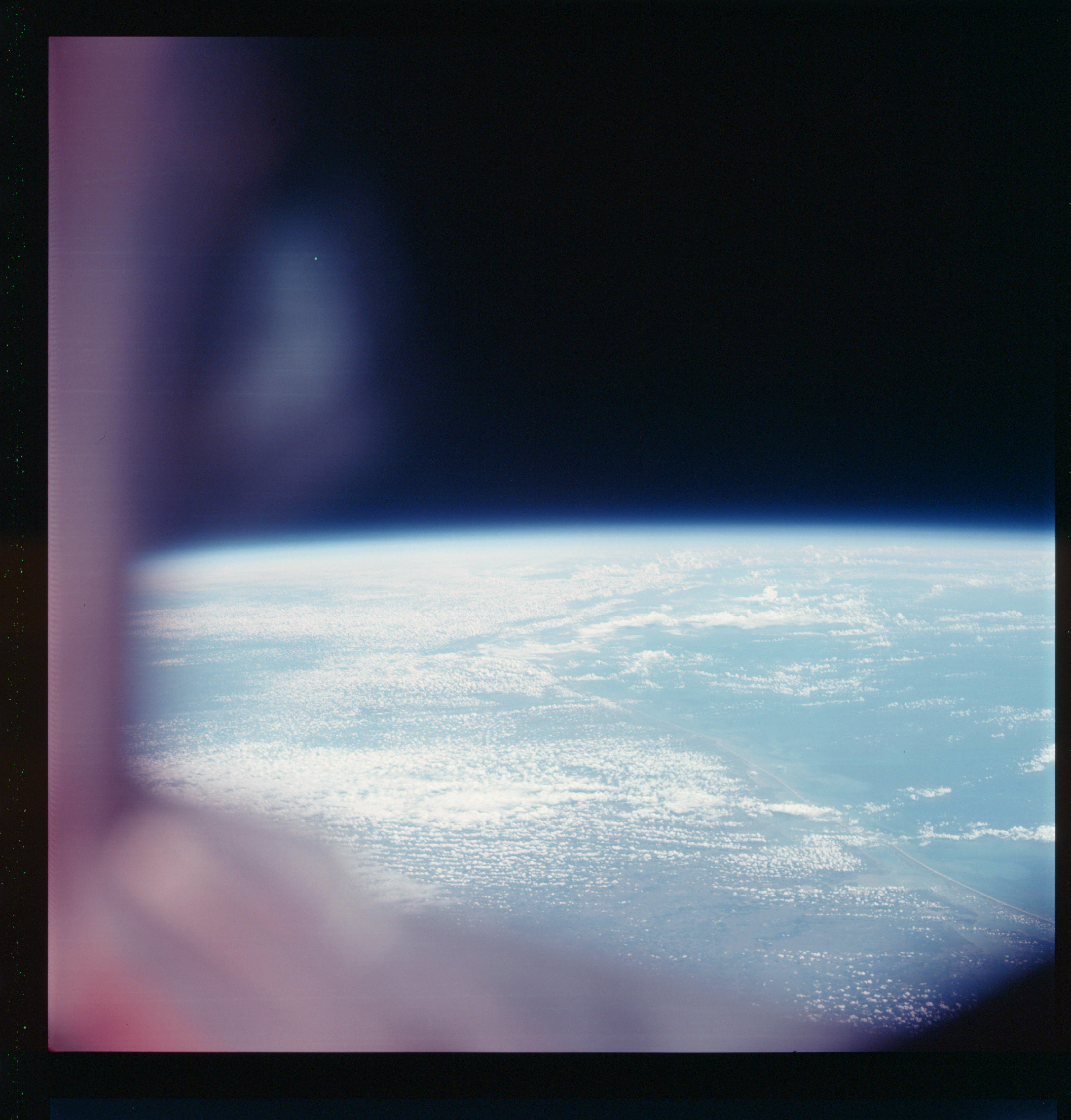 | AS07-07-1819 GEOGRAPHY/CARTOGRAPHY: Gulf coast, Corpus Christi. (Light) GEOLOGY/HYDROLOGY: Coastal plain region. METEOROLOGY: Cumulus, alto-cumulus. Image credit: Image Science and Analysis Laboratory, NASA-Johnson Space Center. |
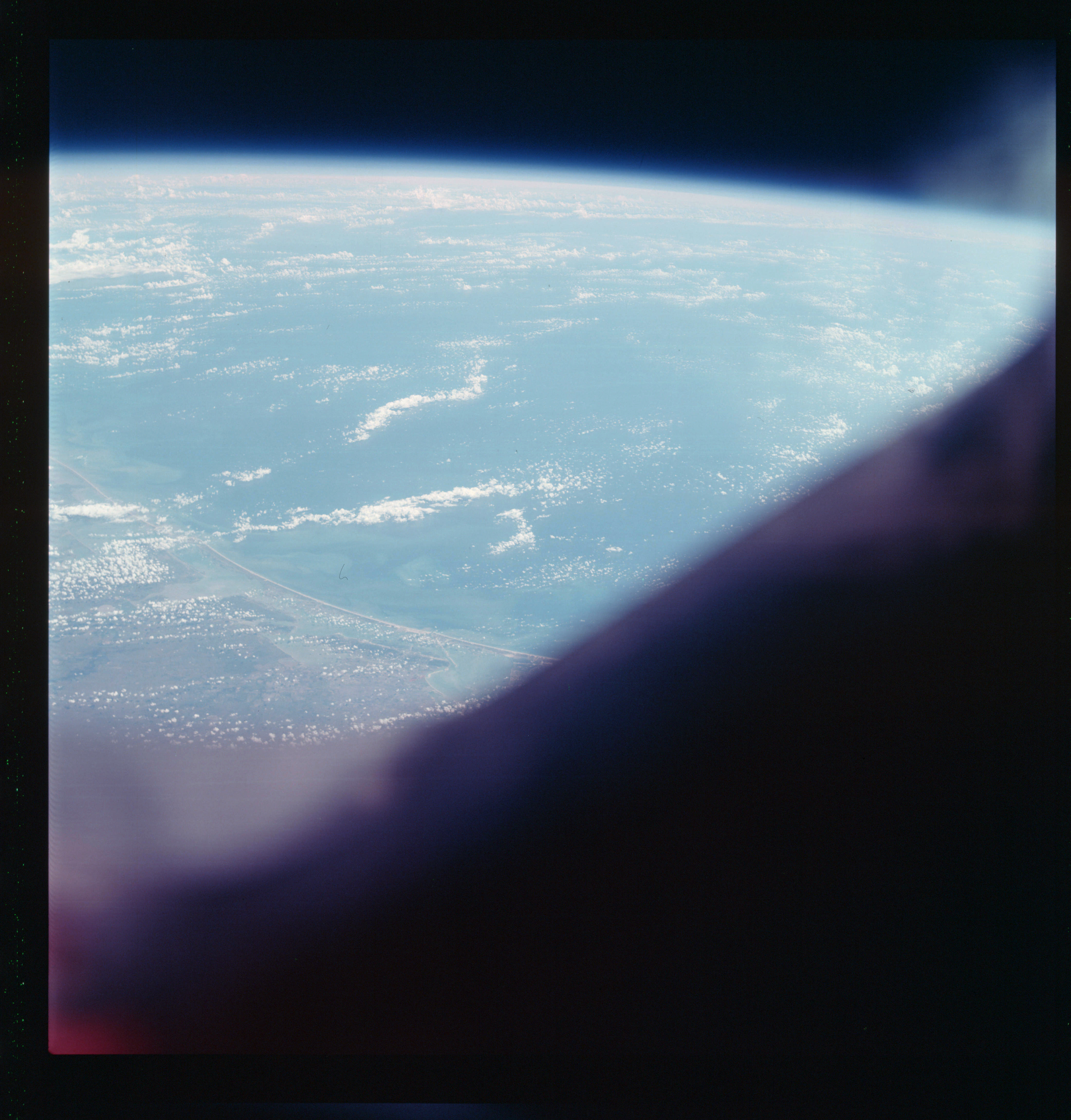 | AS07-07-1820 GEOGRAPHY/CARTOGRAPHY: Texas: Gulf coast, Corpus Christi. (Light) METEOROLOGY: Cumulus. Image credit: Image Science and Analysis Laboratory, NASA-Johnson Space Center. |
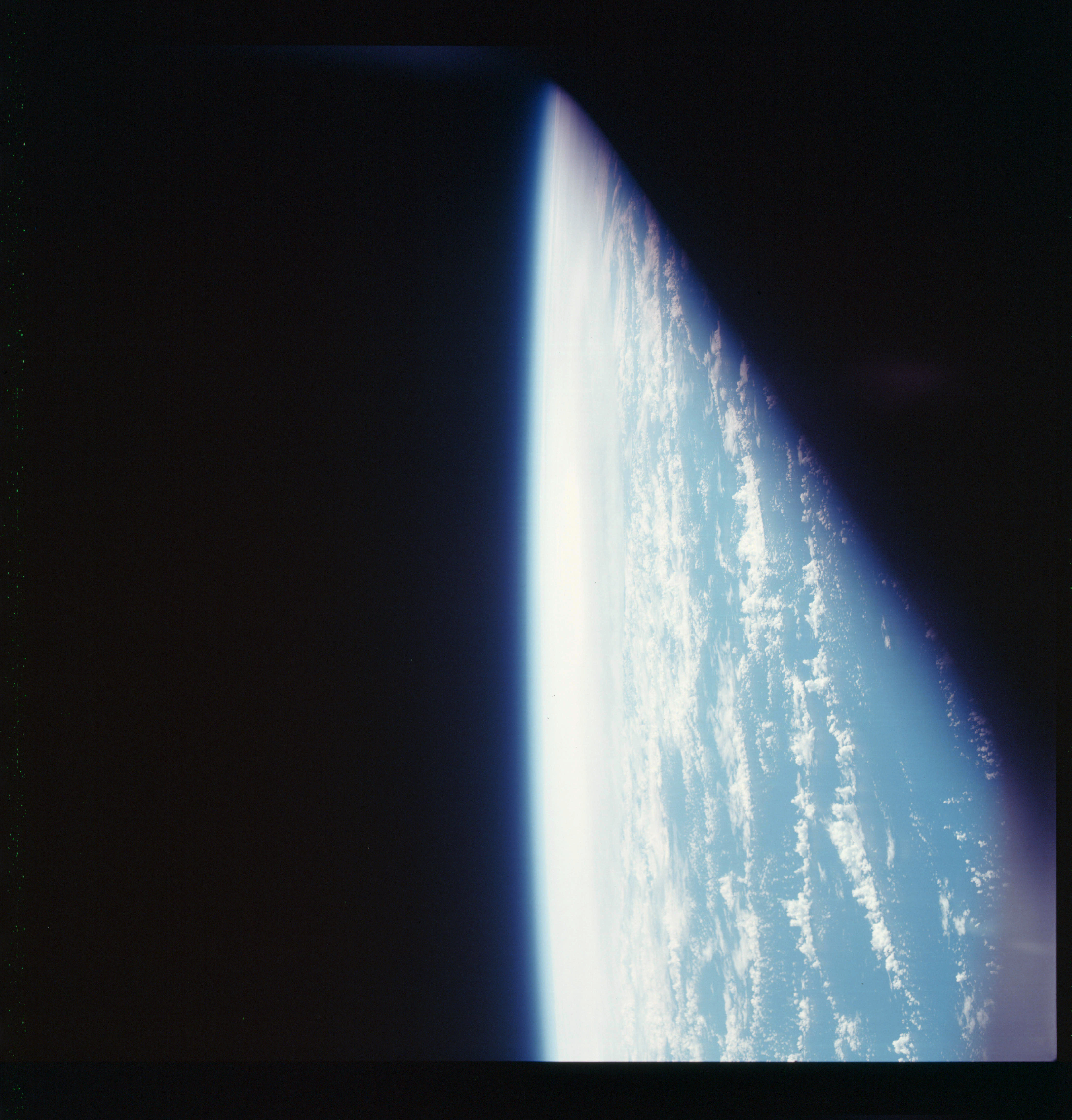 | AS07-07-1821 GEOGRAPHY/CARTOGRAPHY: Gulf of Mexico. (Light) METEOROLOGY: Towering cumulus. Image credit: Image Science and Analysis Laboratory, NASA-Johnson Space Center. |
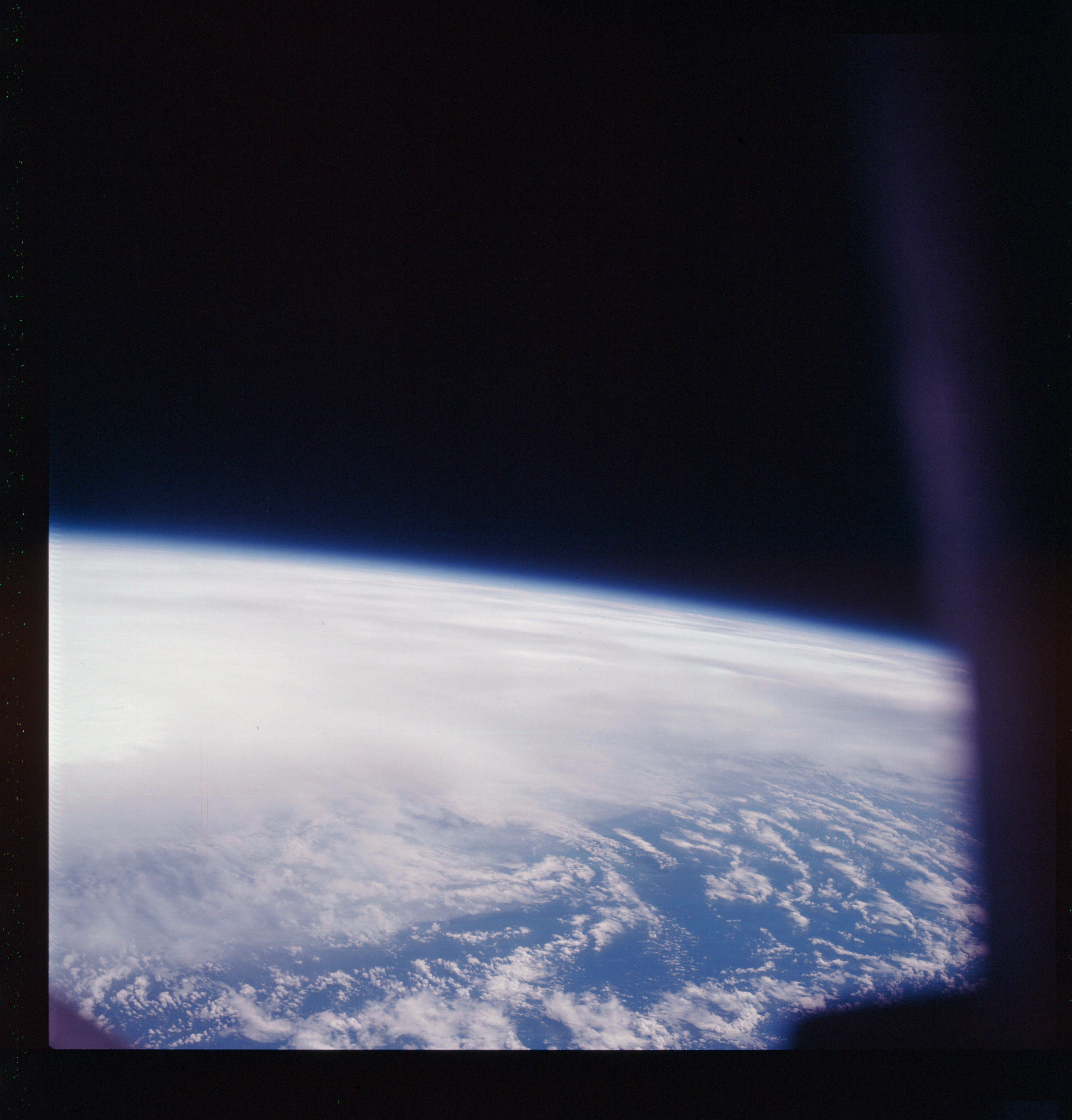 | AS07-07-1822 GEOGRAPHY/CARTOGRAPHY: Gulf of Mexico. (Dark) METEOROLOGY: Hurricane Gladys. Image credit: Image Science and Analysis Laboratory, NASA-Johnson Space Center. |
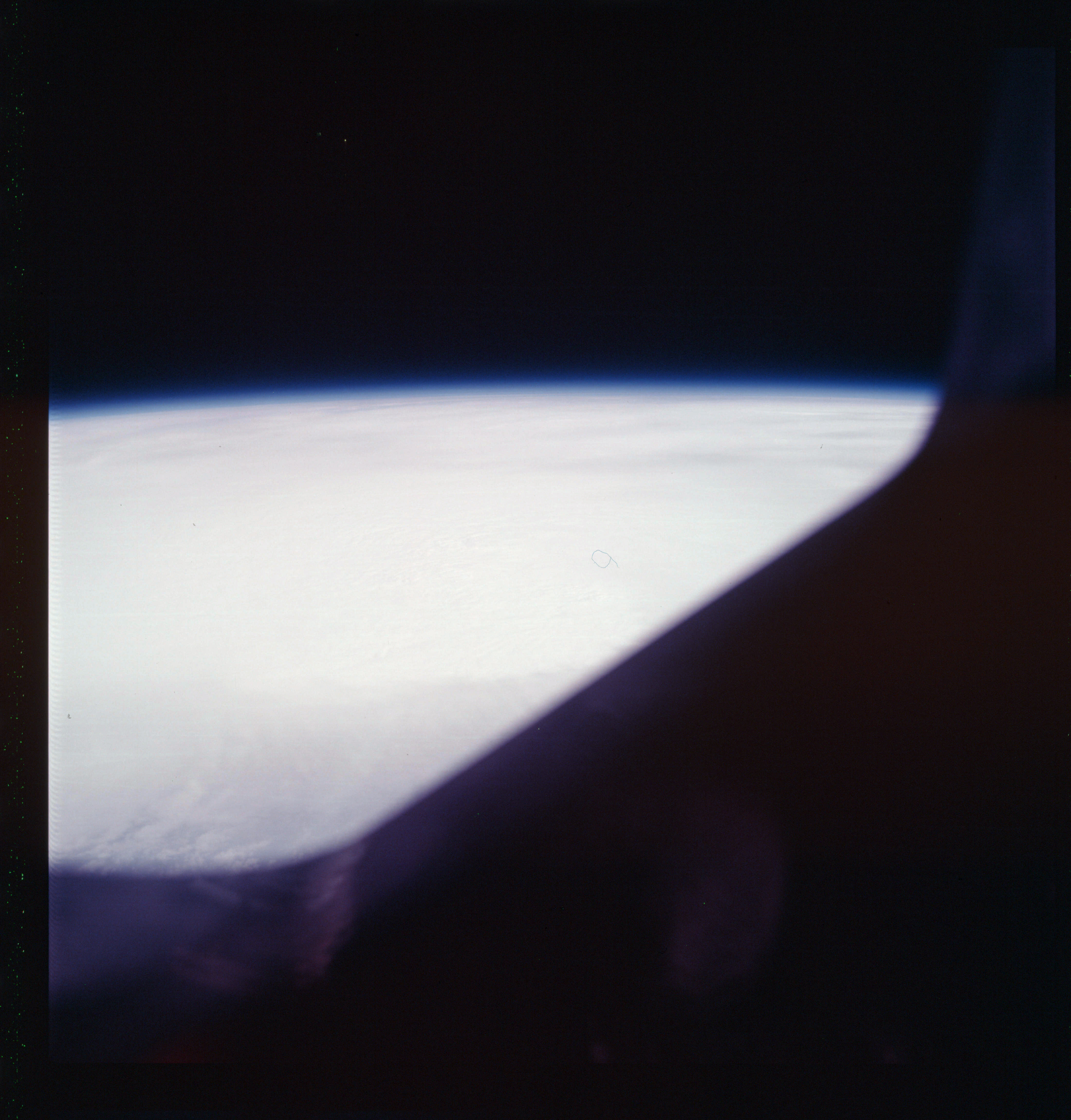 | AS07-07-1823 GEOGRAPHY/CARTOGRAPHY: Gulf of Mexico. (Light) METEOROLOGY: Hurricane Gladys. Image credit: Image Science and Analysis Laboratory, NASA-Johnson Space Center. |
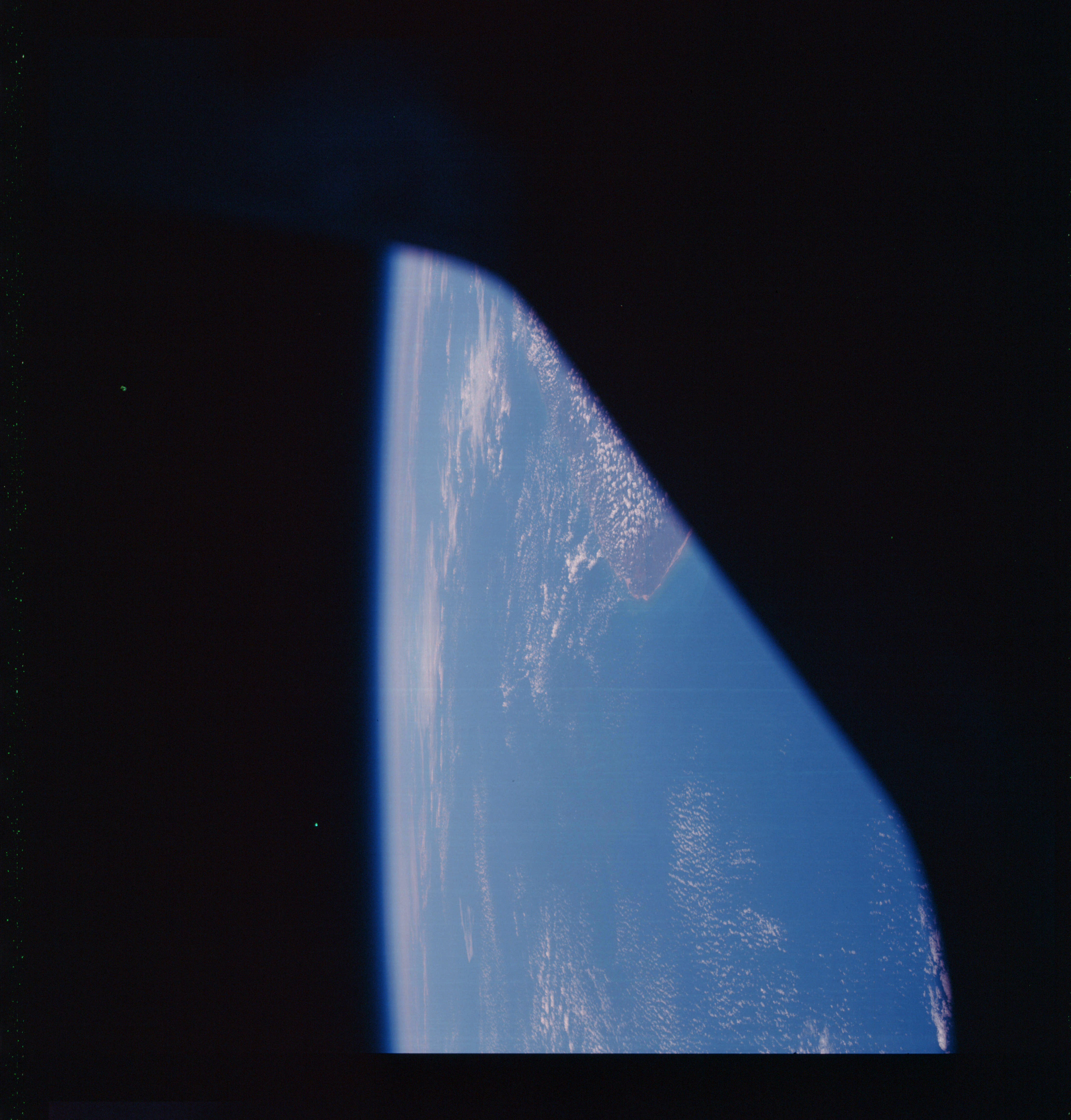 | AS07-07-1824 GEOGRAPHY/CARTOGRAPHY: Brazil, Cago de Sao Roque. GEOLOGY/HYDROLOGY: Coastal plain region. METEOROLOGY: Cumulus, cirrus. Image credit: Image Science and Analysis Laboratory, NASA-Johnson Space Center. |
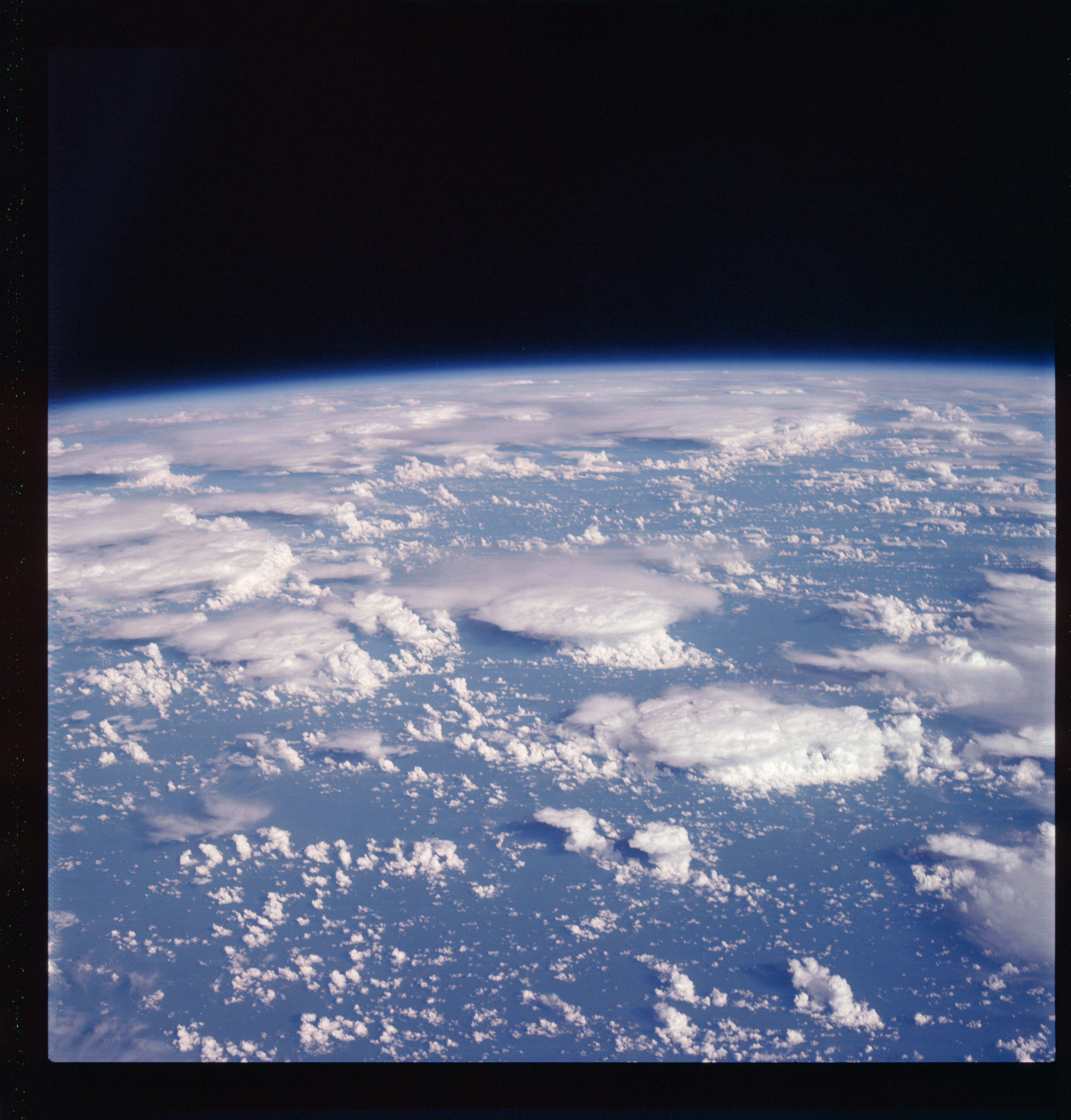 | AS07-07-1825 METEOROLOGY: Cumulus, alto-cumulus, cirrus. Image credit: Image Science and Analysis Laboratory, NASA-Johnson Space Center. |
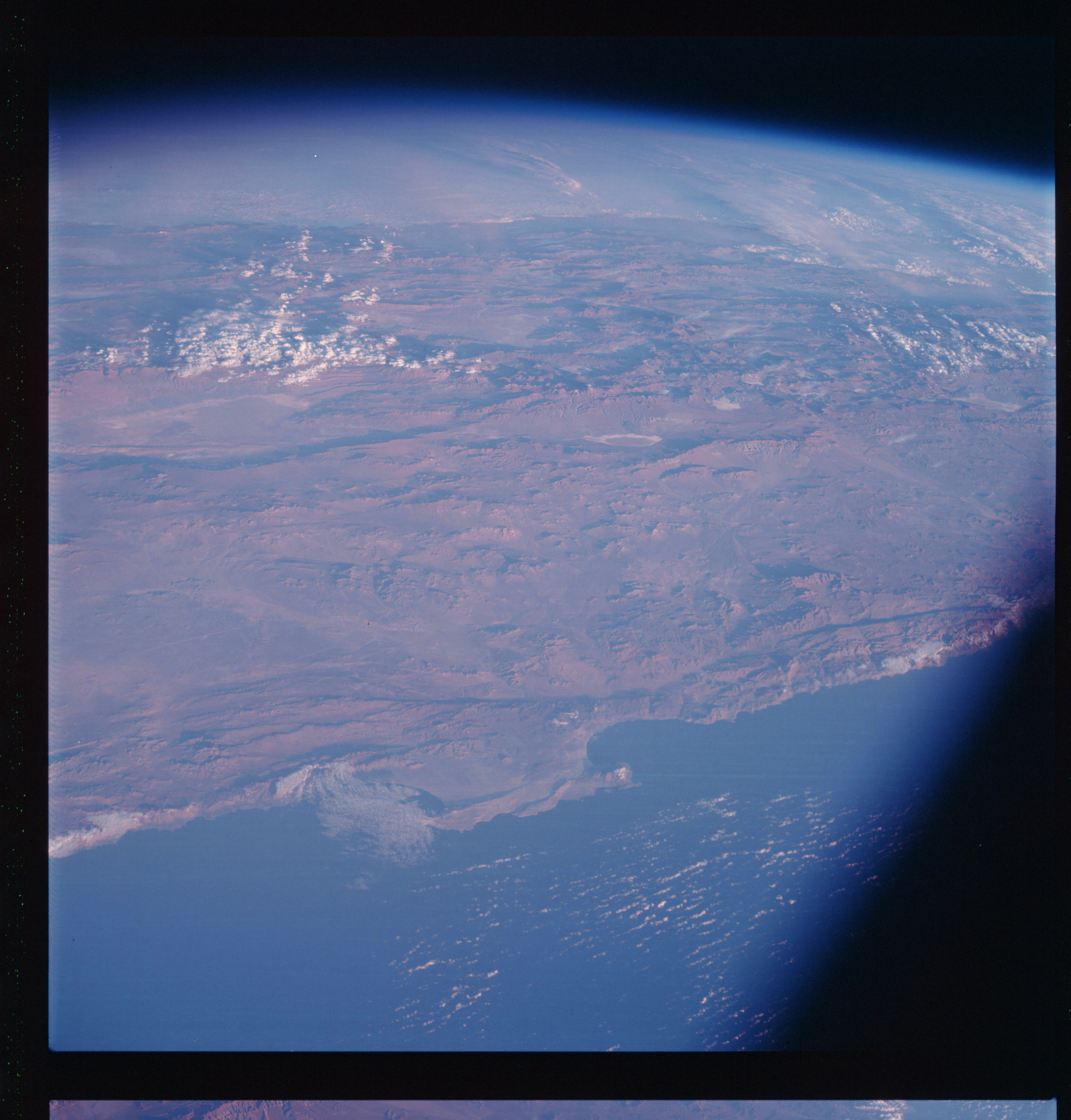 | AS07-07-1826 GEOGRAPHY/CARTOGRAPHY: Chile: coast at Antofagasta, Pacific Baluia Moreno, Baluia de Mejilones Del Sur, Suios de Atucame Labe. GEOLOGY/HYDROLOGY: Complex and sedimentary hills and mountains, with salt flats in the lower regions. METEOROLOGY: Cumulus, stratus. Image credit: Image Science and Analysis Laboratory, NASA-Johnson Space Center. |
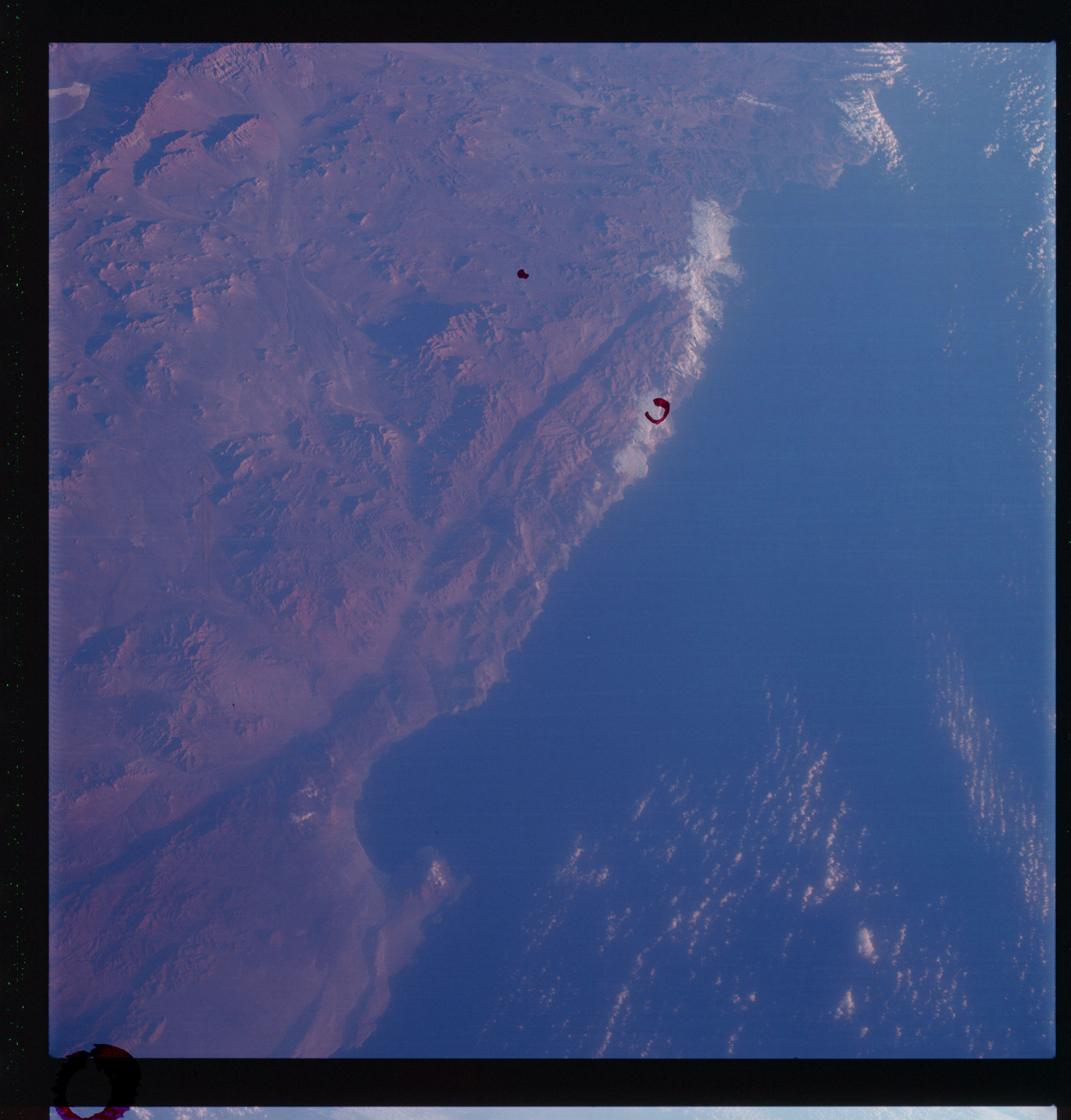 | AS07-07-1827 GEOGRAPHY/CARTOGRAPHY: Chile: coast of Antofagasta, Pacific Ocean, Baluia Moreno, Atacama Desert. (Dark} GEOLOGY/HYDROLOGY: Complex mountains adjacent to the coast, with alluvial deposits on the lower areas. METEOROLOGY: Small cumulus, strato-cumulus. Image credit: Image Science and Analysis Laboratory, NASA-Johnson Space Center. |
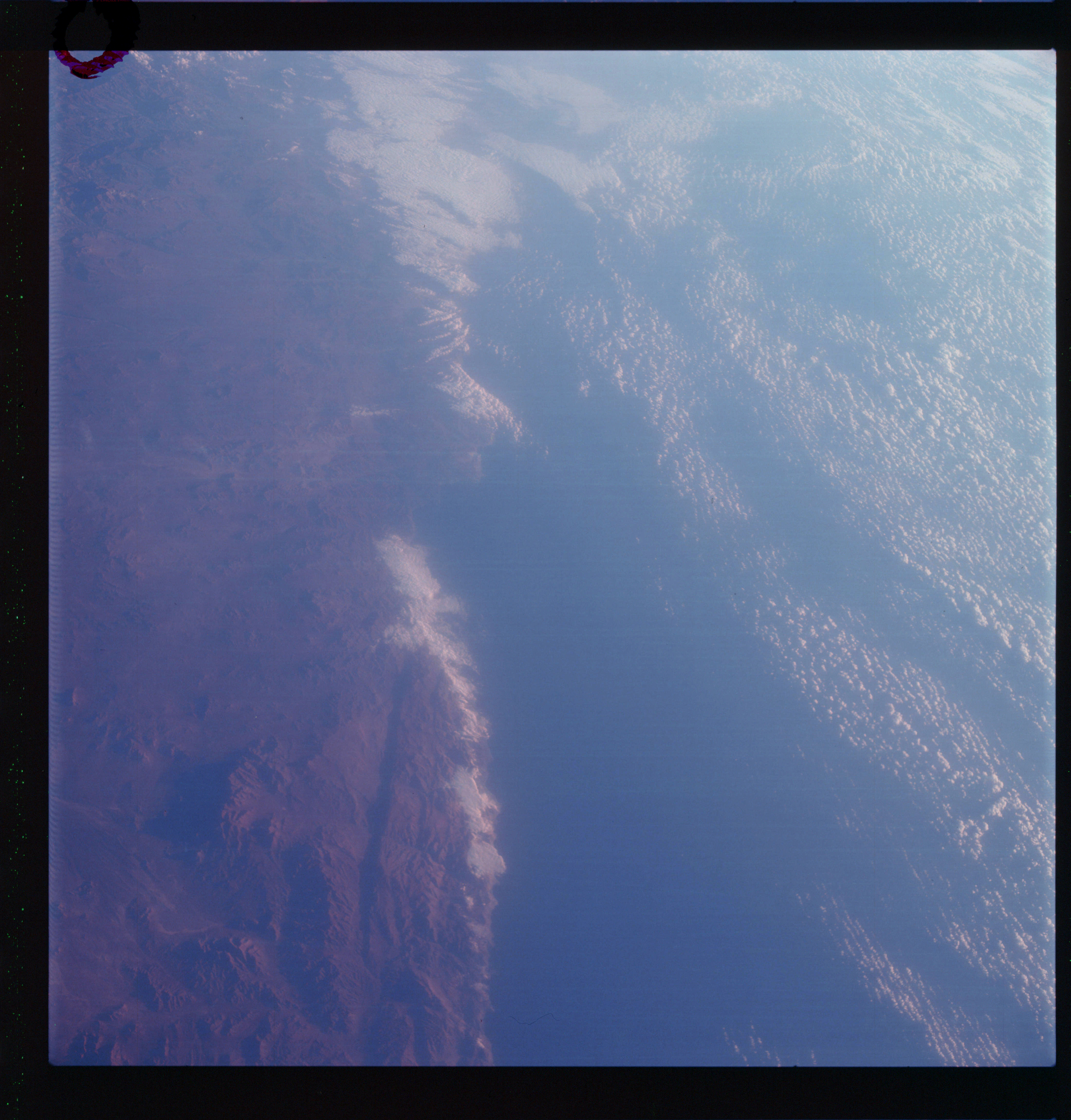 | AS07-07-1828 GEOGRAPHY/CARTOGRAPHY: Chile, South of Antofagasta. (Dark) GEOLOGY/HYDROLOGY: Complex mountain region with a shoreline of submergence, METEOROLOGY: Cumulus, strato-cumulus. Image credit: Image Science and Analysis Laboratory, NASA-Johnson Space Center. |
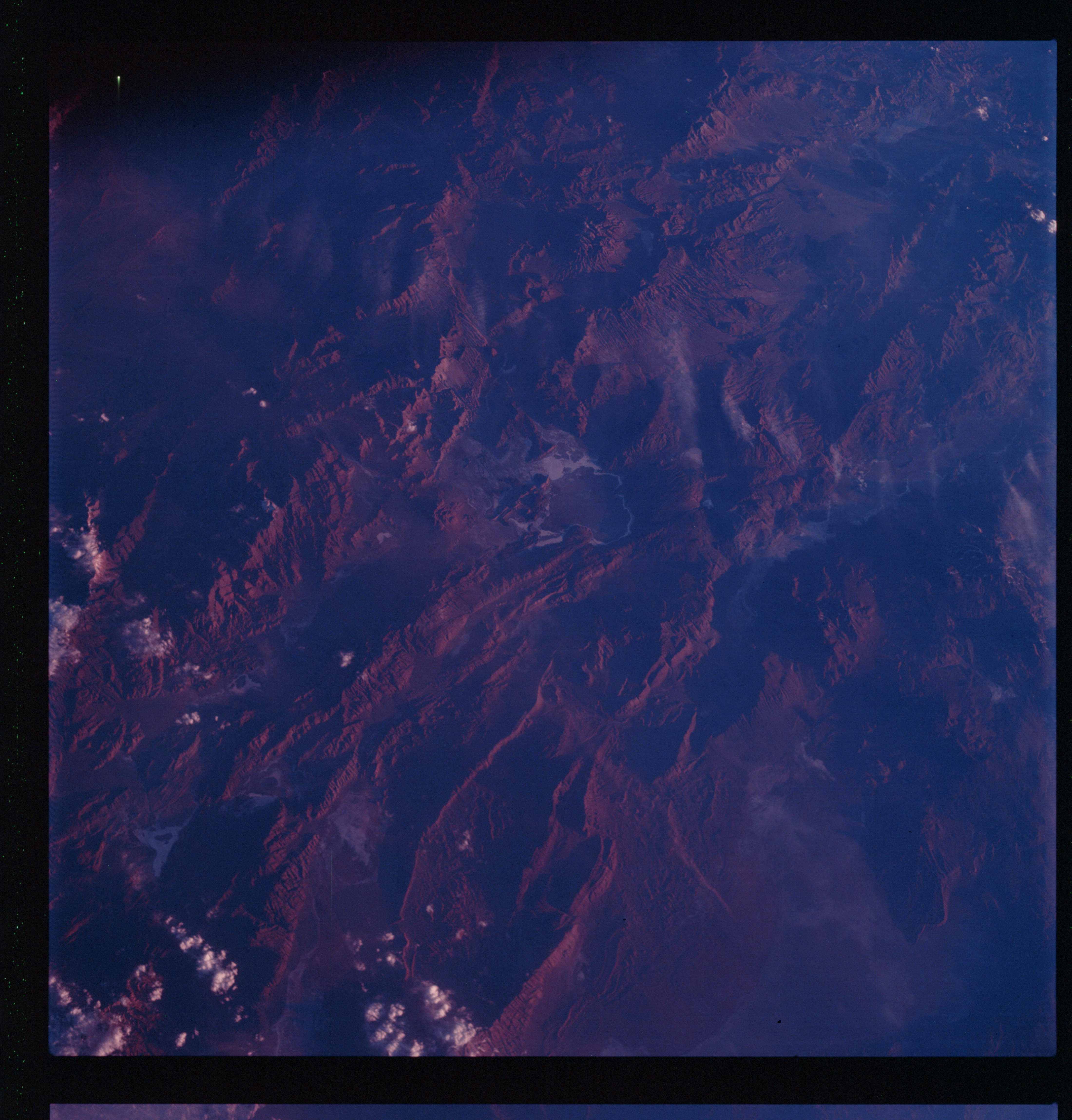 | AS07-07-1829 GEOGRAPHY/CARTOGRAPHY: Argentina: Andes Mountains, Sular Del Hombre Muerto. (Dark) GEOLOGY/HYDROLOGY: Folded sedimentary and complex mountains. Image credit: Image Science and Analysis Laboratory, NASA-Johnson Space Center. |
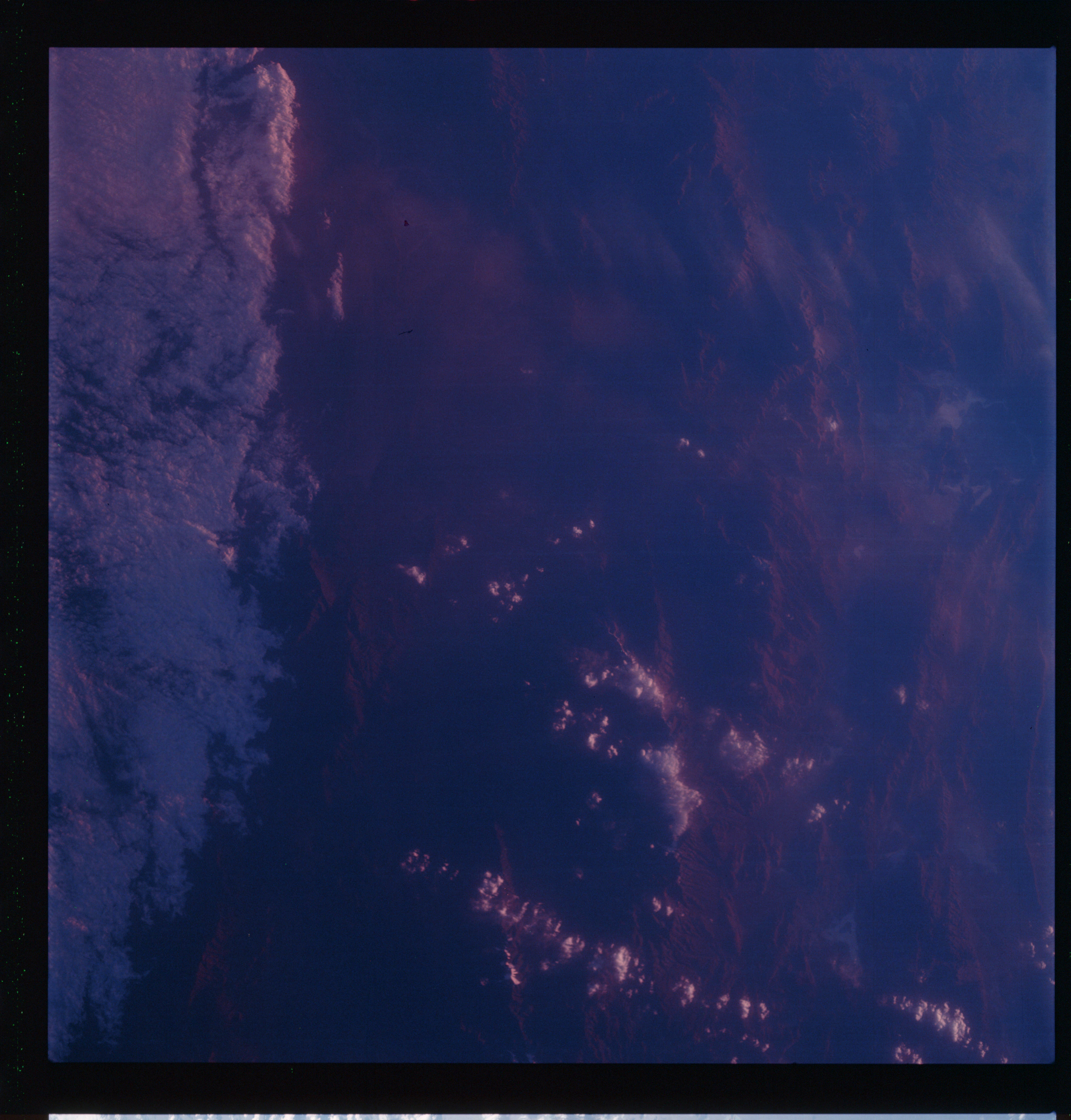 | AS07-07-1830 GEOGRAPHY/CARTOGRAPHY: Argentina: Andes Mountains, Sular Del Hombre Muerto. (Dark} GEOLOGY/HYDROLOGY: Complex mountain region. METEOROLOGY: Strato-cumulus. FORESTRY: Intermittent forest lands. Image credit: Image Science and Analysis Laboratory, NASA-Johnson Space Center. |
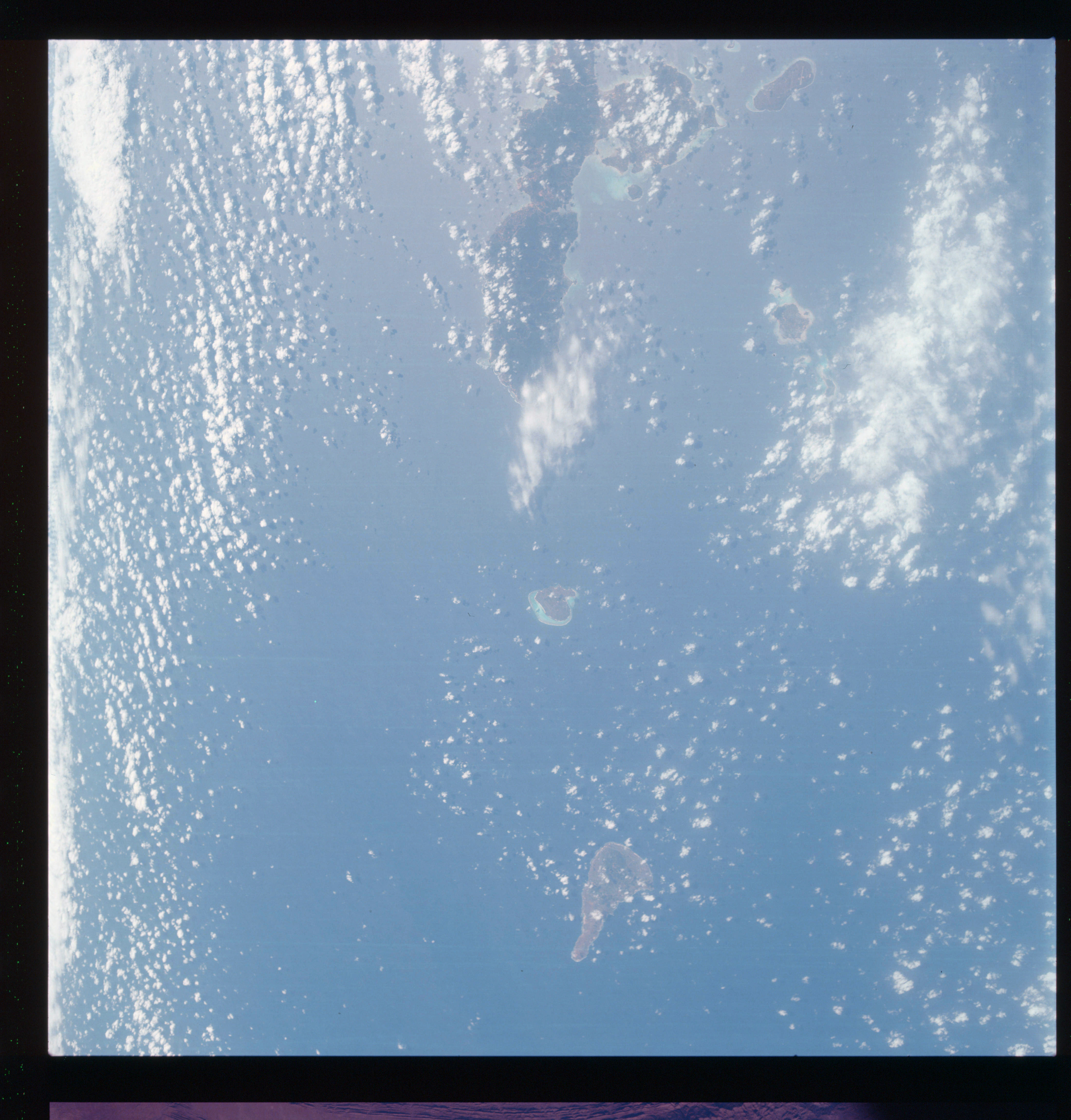 | AS07-07-1831 GEOGRAPHY/CARTOGRAPHY: Okinawa, Island of Arueri Gunto. (Light) GEOLOGY/HYDROLOGY: Volcanic islands. METEOROLOGY: Cumulus, cirrus. FORESTRY: Intermittent forest lands. AGRICULTURE: Field patterns along the coast. OCEANOGRAPHY: Ocean depth variations. Image credit: Image Science and Analysis Laboratory, NASA-Johnson Space Center. |
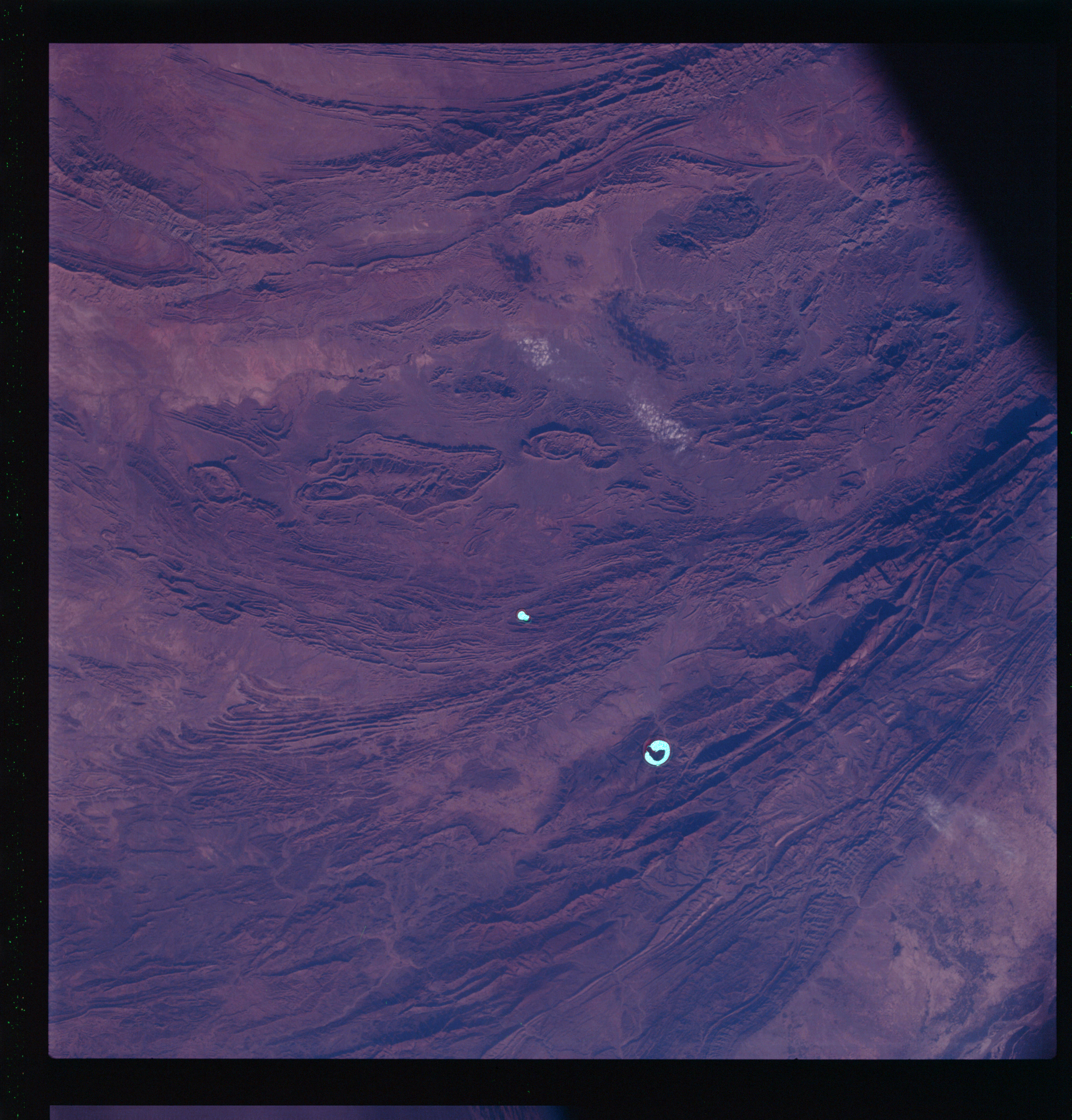 | AS07-07-1832 GEOGRAPHY/CARTOGRAPHY: Pakistan: Toba, Kakar and Sulaiuan Ranges near Fret Sandeuen. (Dark) GEOLOGY/HYDROLOGY: Highly folded sedimentary mountains. Image credit: Image Science and Analysis Laboratory, NASA-Johnson Space Center. |
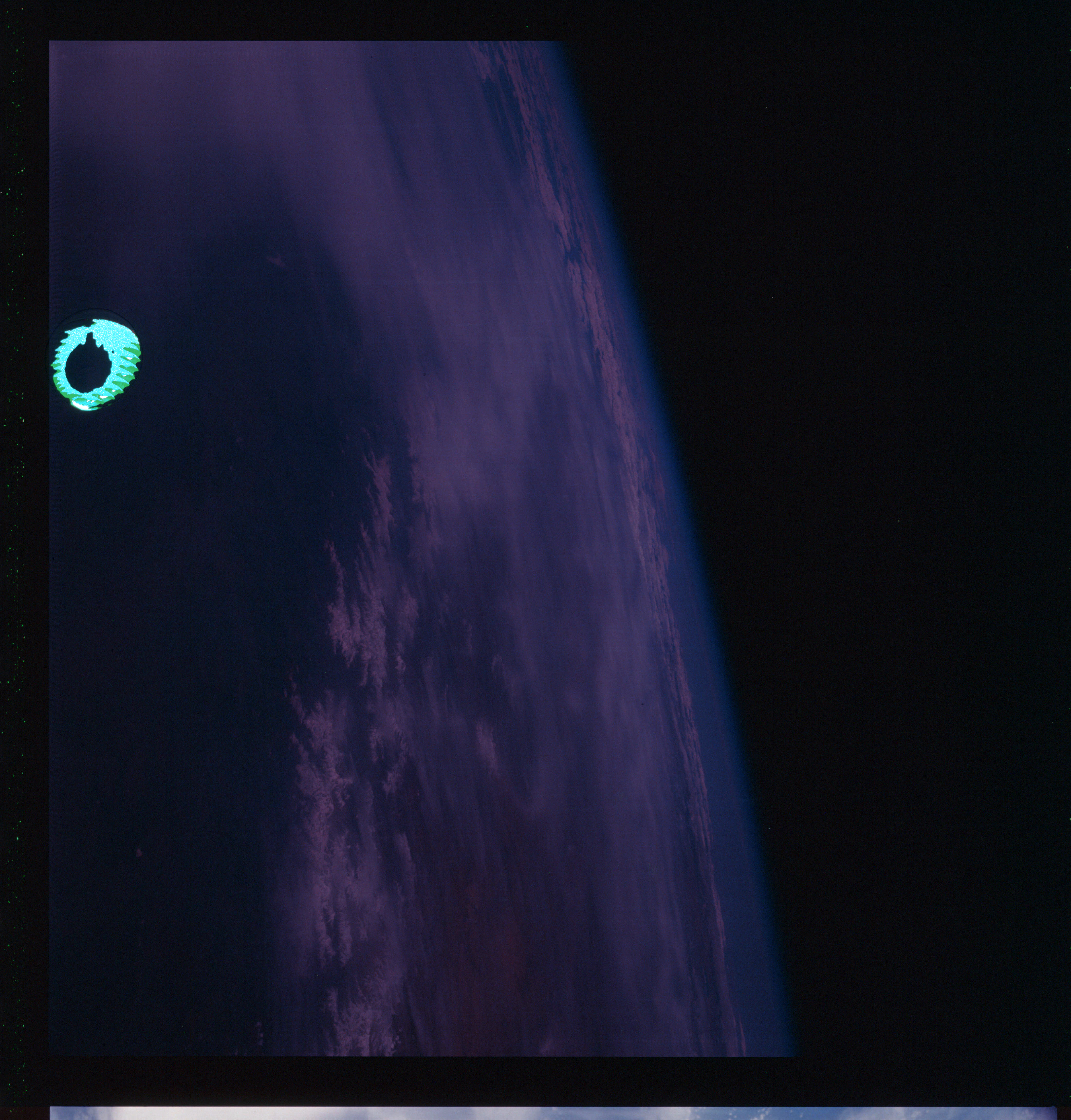 | AS07-07-1833 METEOROLOGY: Cumulus. (Dark) Image credit: Image Science and Analysis Laboratory, NASA-Johnson Space Center. |
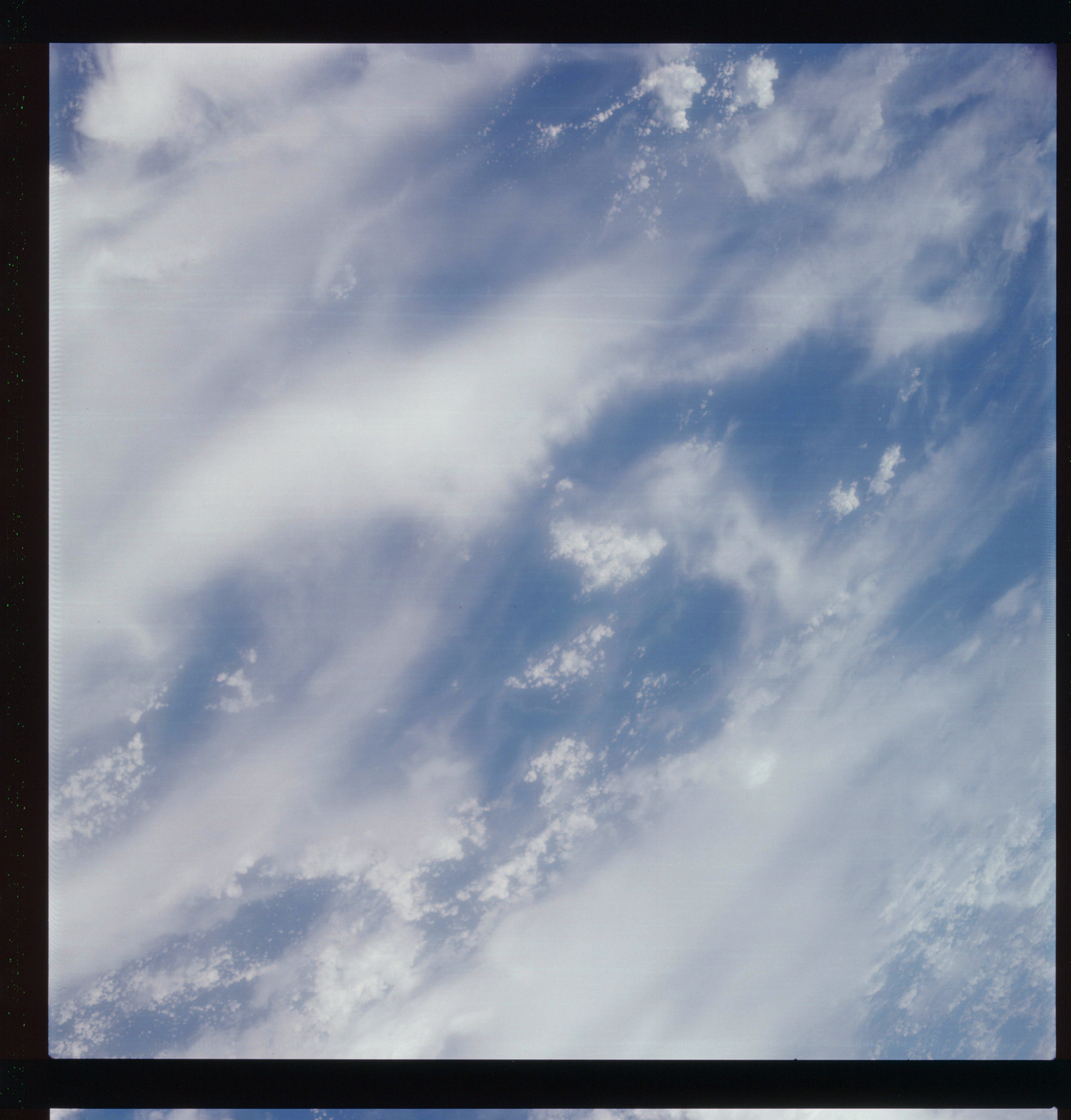 | AS07-07-1834 METEOROLOGY: Cumulus, alto-cumulus, cirrus. (Light) Image credit: Image Science and Analysis Laboratory, NASA-Johnson Space Center. |
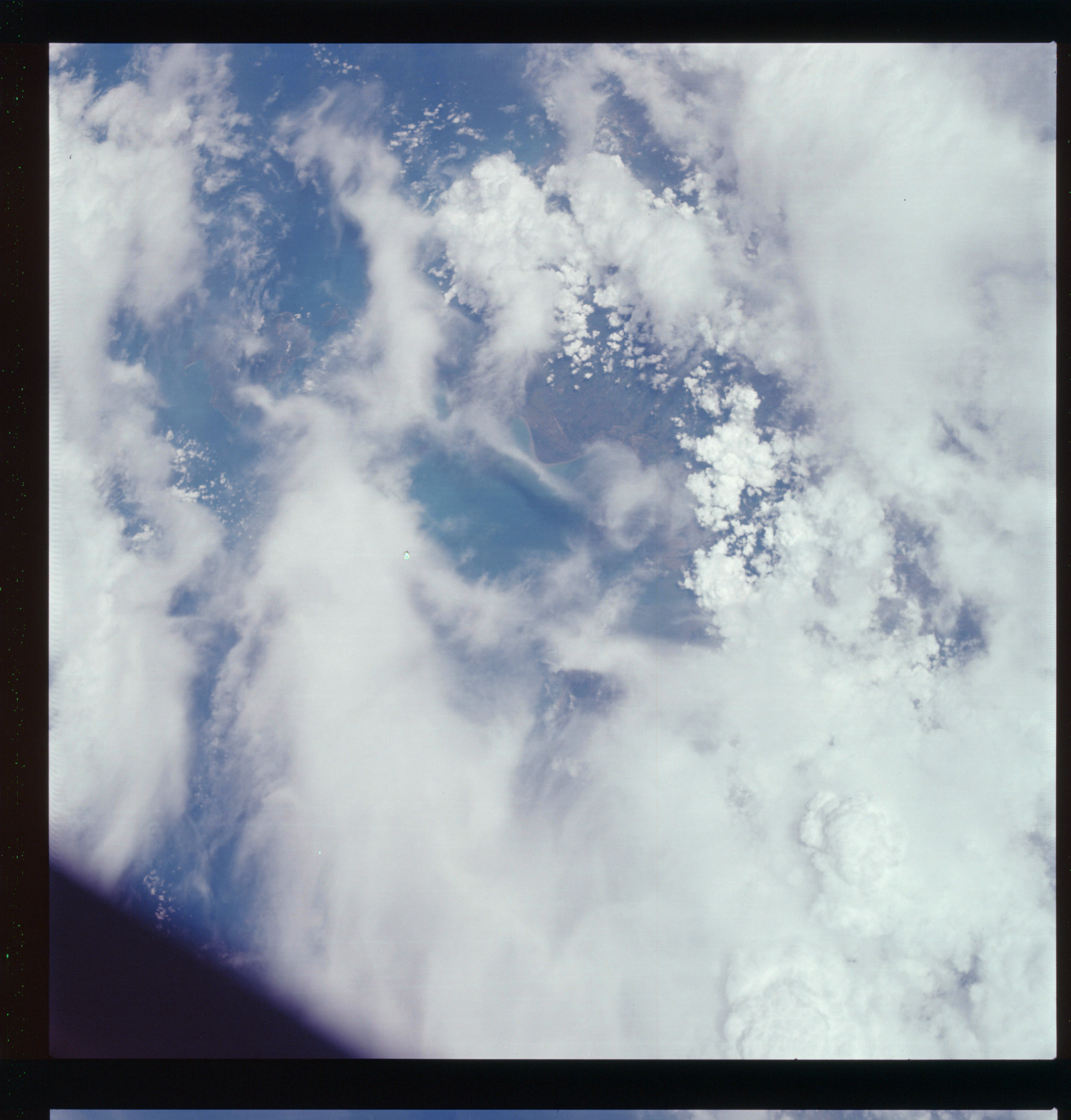 | AS07-07-1835 GEOGRAPHY/CARTOGRAPHY: Thailand, Gulf of Siau, Surat Theui, Samui Island. GEOLOGY/HYDROLOGY: Coastal plain region. METEOROLOGY: Cumulus, alto-cumulus, cirrus. AGRICULTURE: Field patterns. FORESTRY: Intermittent forest lands. Image credit: Image Science and Analysis Laboratory, NASA-Johnson Space Center. |
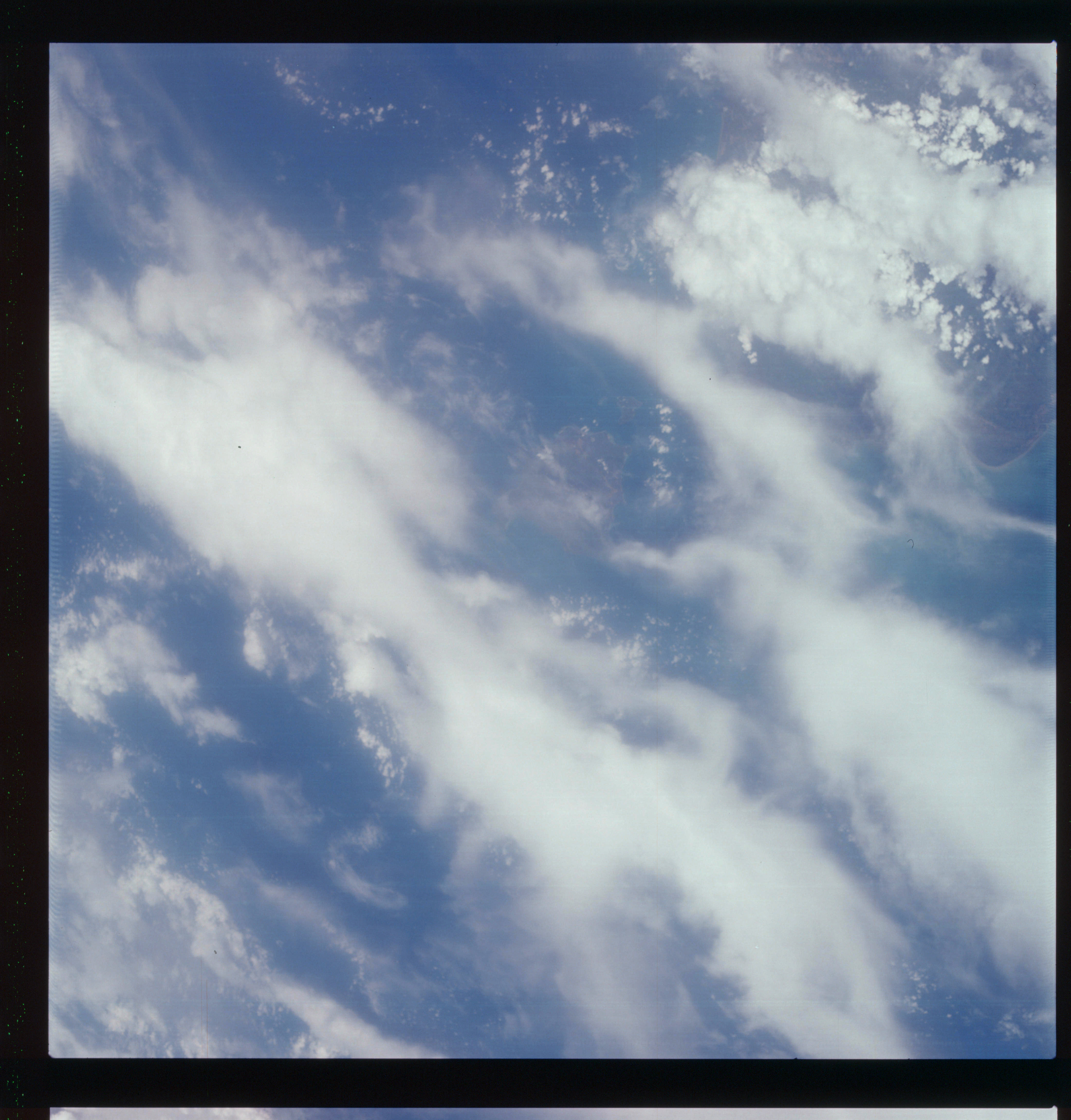 | AS07-07-1836 GEOGRAPHY/CARTOGRAPHY: Thailand, Gulf of Siau, Coast east of Surat Theui, Sauri Island. (Light) METEOROLOGY: Cumulus, alto-cumulus, cirrus. FORESTRY: Densely forested. Image credit: Image Science and Analysis Laboratory, NASA-Johnson Space Center. |
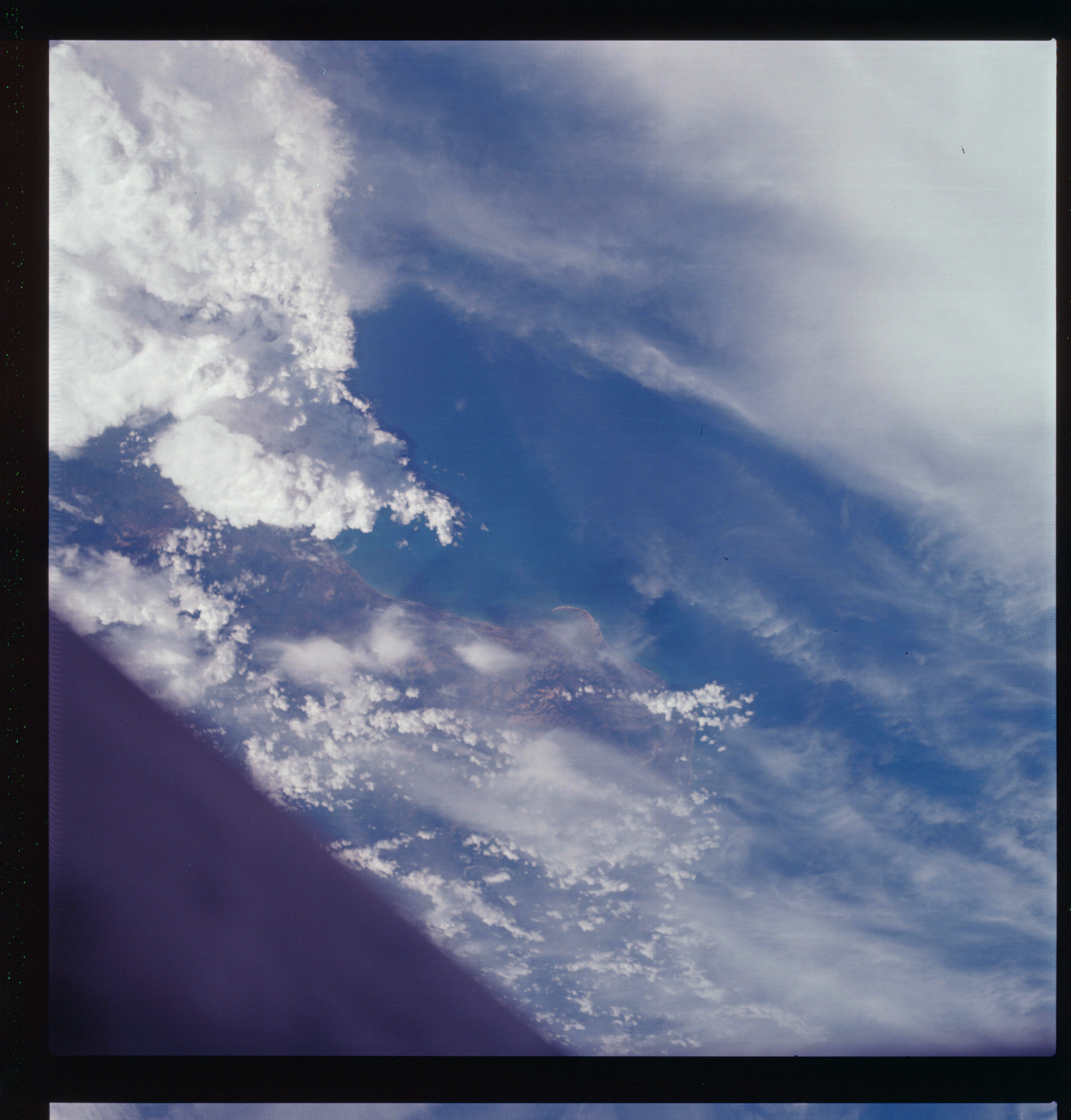 | AS07-07-1837 GEOGRAPHY/CARTOGRAPHY: Thailand: Gulf of Siam, Pattuni. (Light) GEOLOGY/HYDROLOGY: Coastal plain region. METEOROLOGY: Cumulus-nimbus, cirrus. AGRICULTURE: Field patterns. FORESTRY: Densely forested. Image credit: Image Science and Analysis Laboratory, NASA-Johnson Space Center. |
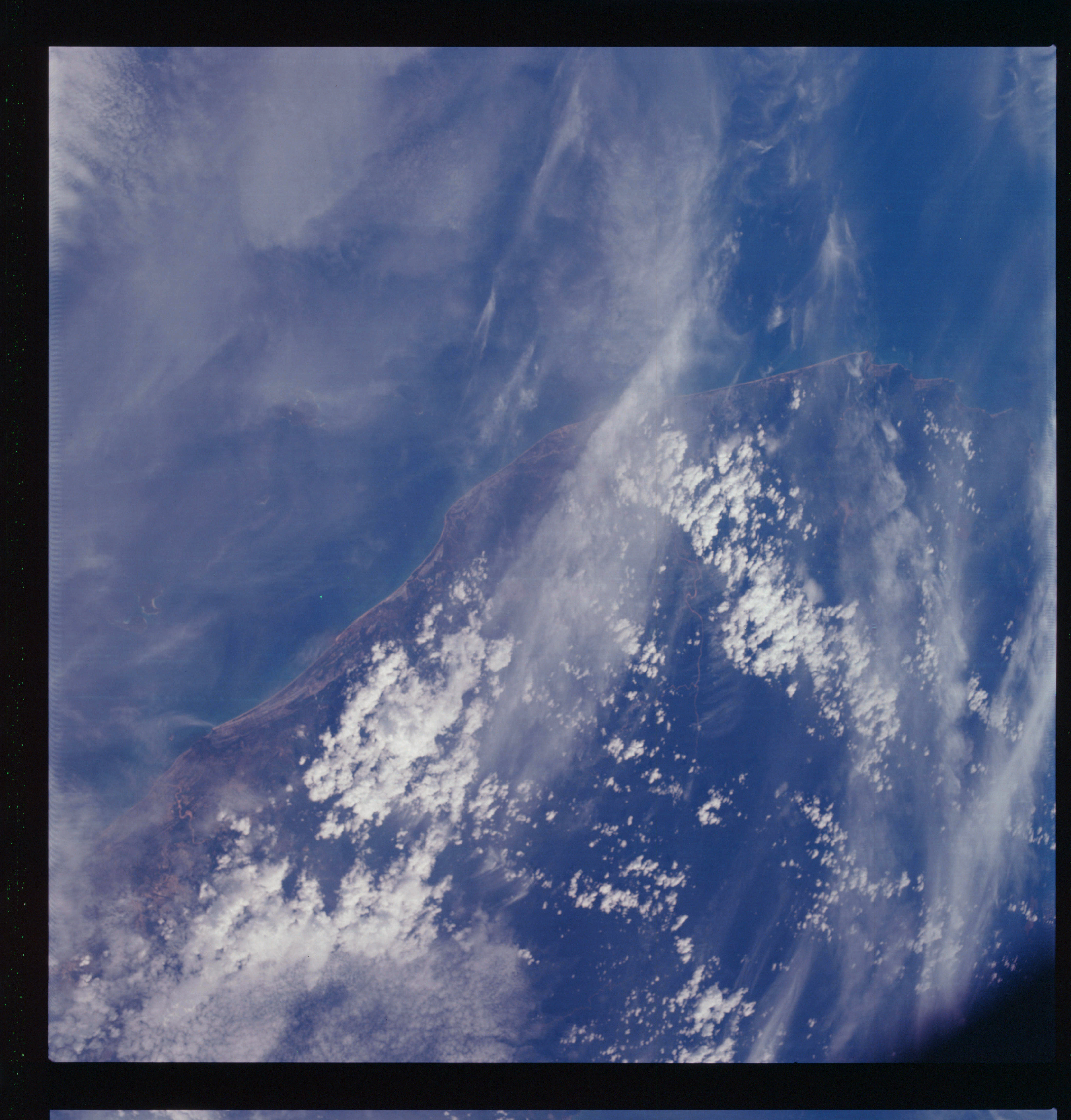 | AS07-07-1838 GEOGRAPHY/CARTOGRAPHY: Malaysia, Malaya, West Coast of Kota Bheni. (Light) GEOLOGY/HYDROLOGY: Coastal plain region. METEOROLOGY: Cumulus, strato-cumulus, cirrus. AGRICULTURE: Field patterns, subsistence farming along coastal areas. FORESTRY: Densely forested. Image credit: Image Science and Analysis Laboratory, NASA-Johnson Space Center. |
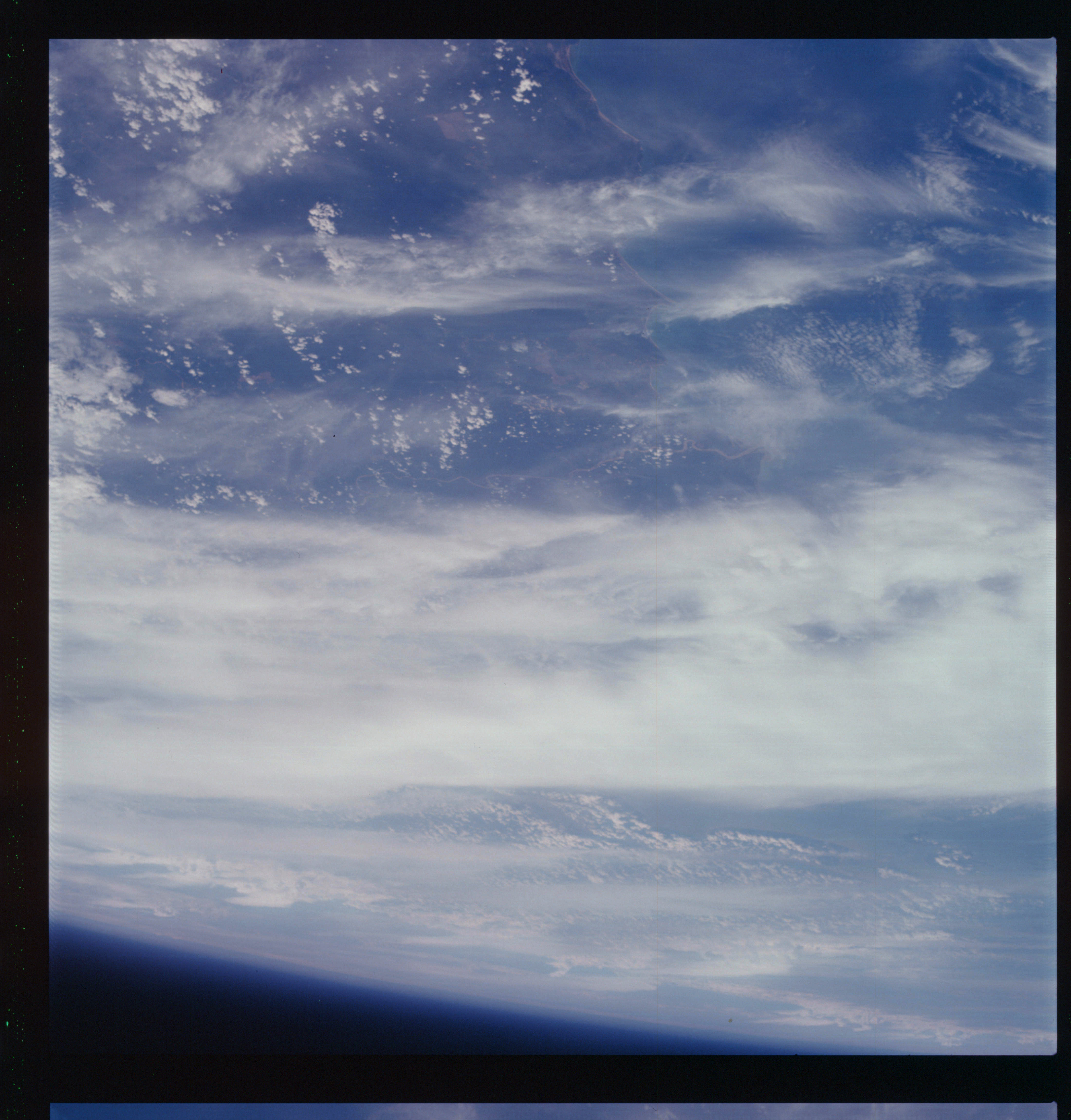 | AS07-07-1839 GEOGRAPHY/CARTOGRAPHY: Malaysia, Malaya, East Coast from Chukai to Paleng River. (Dark) GEOLOGY/HYDROLOGY: Coastal plain and perennial drainage. METEOROLOGY: Cumulus, thick cirrus. AGRICULTURE: Scattered fields. FORESTRY: Densely forested. Image credit: Image Science and Analysis Laboratory, NASA-Johnson Space Center. |
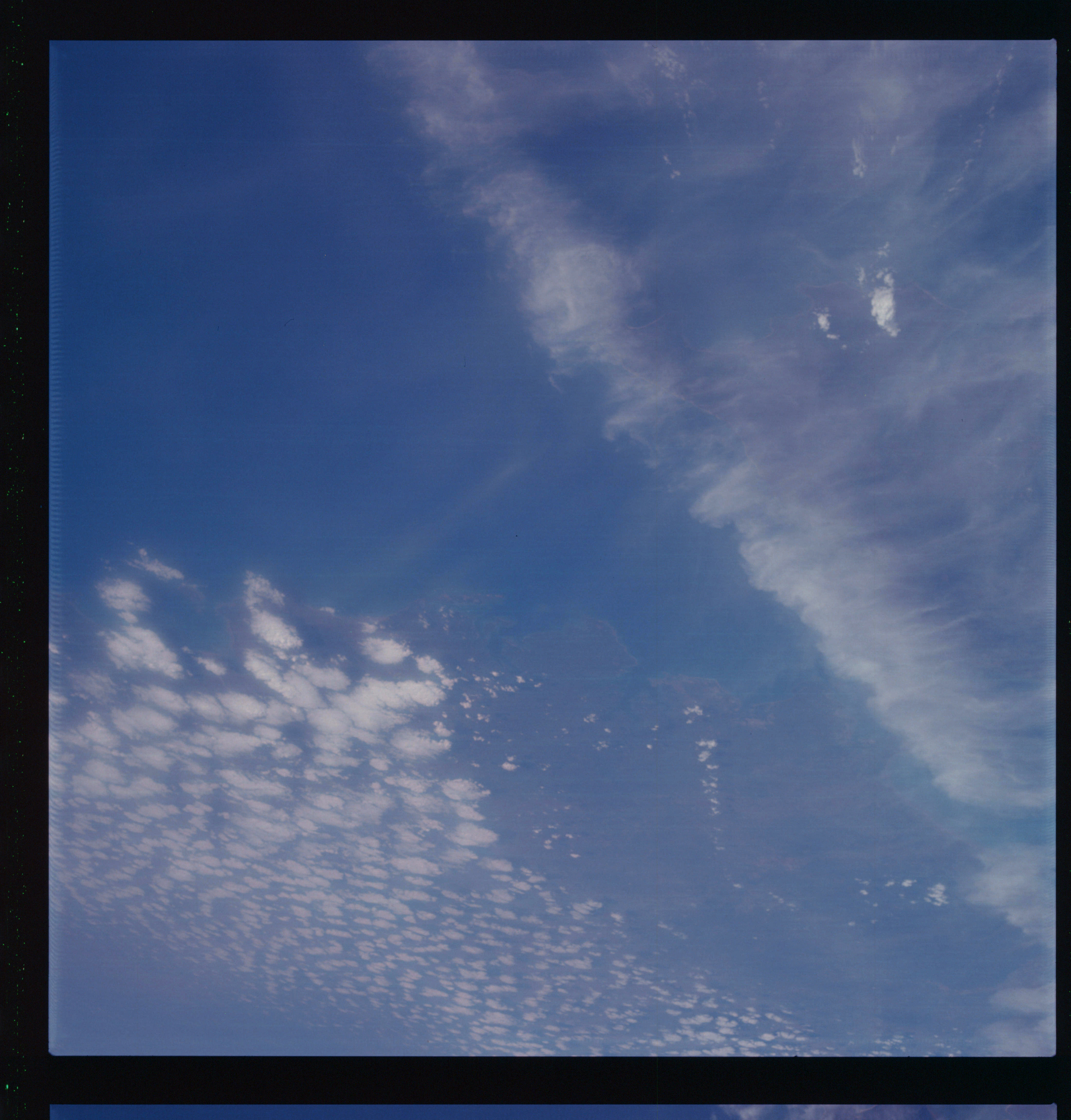 | AS07-07-1840 GEOGRAPHY/CARTOGRAPHY: Australia: Northern Territory, Durion. (Dark) METEOROLOGY: Cumulus, cirrus. Image credit: Image Science and Analysis Laboratory, NASA-Johnson Space Center. |
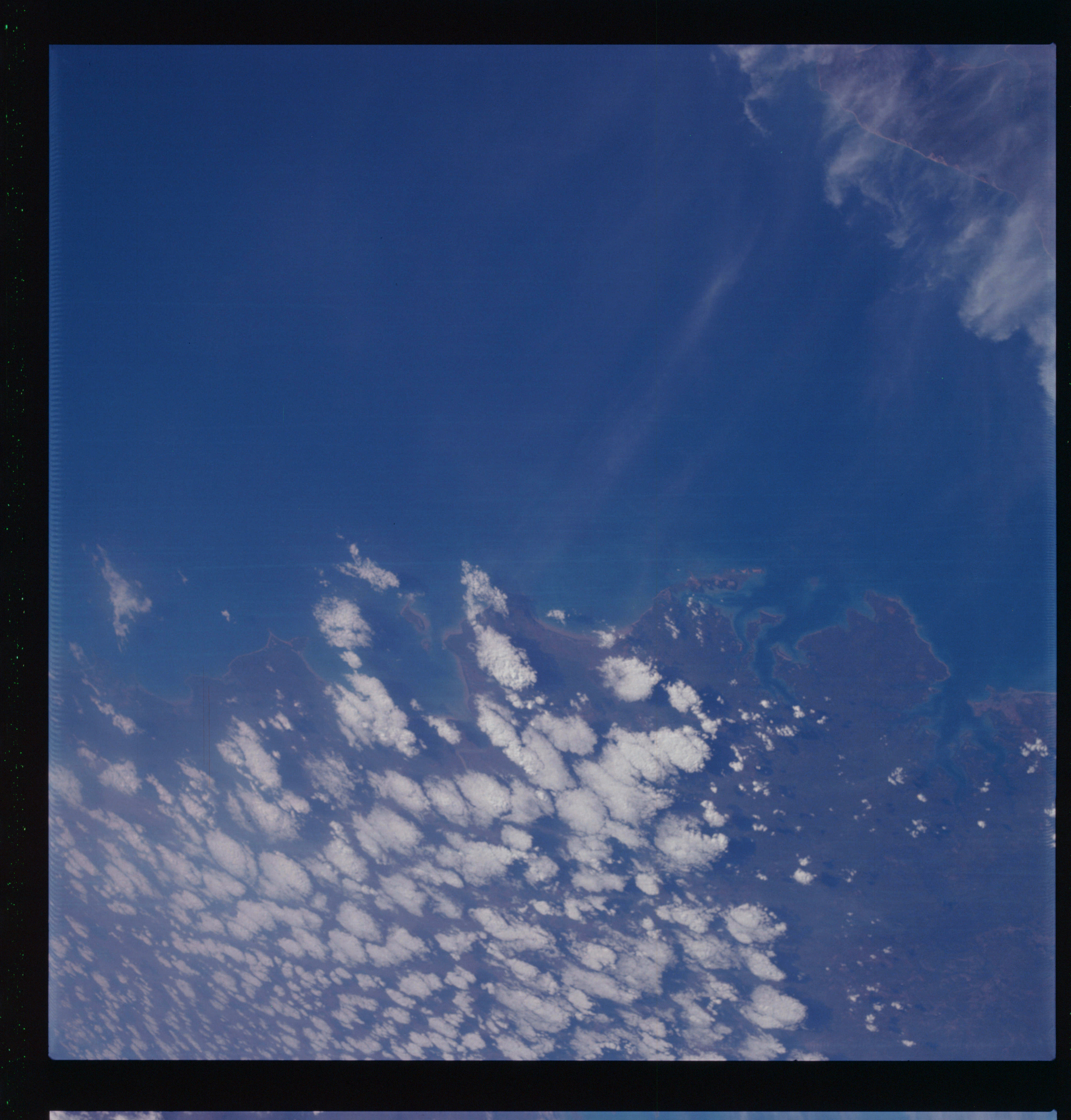 | AS07-07-1841 GEOGRAPHY/CARTOGRAPHY: Australia: Northern Territory, Darwin, small section of Bathurst Island. (Dark) GEOLOGY/HYDROLOGY: Coastal lowland and shoreline of submergence. METEOROLOGY: Cumulus, cirrus. Image credit: Image Science and Analysis Laboratory, NASA-Johnson Space Center. |
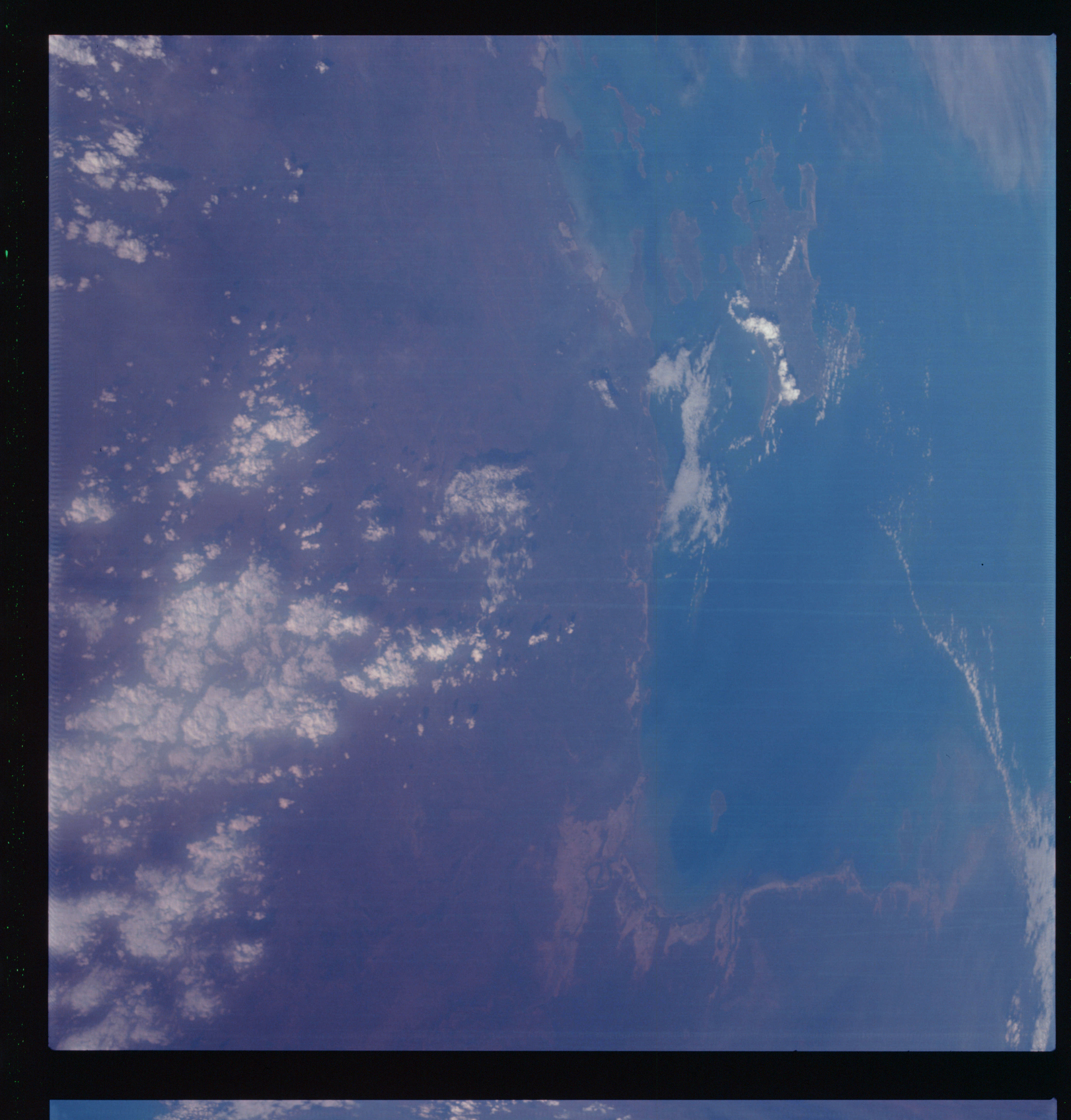 | AS07-07-1842 GEOGRAPHY/CARTOGRAPHY: Australia: Gulf of Carpentaria, Grote Eylandt, Roper River. (Dark) GEOLOGY/HYDROLOGY: Coastal plain region with intermittent drainage. METEOROLOGY: Cumulus. FORESTRY: Intermittent forest lands. Image credit: Image Science and Analysis Laboratory, NASA-Johnson Space Center. |
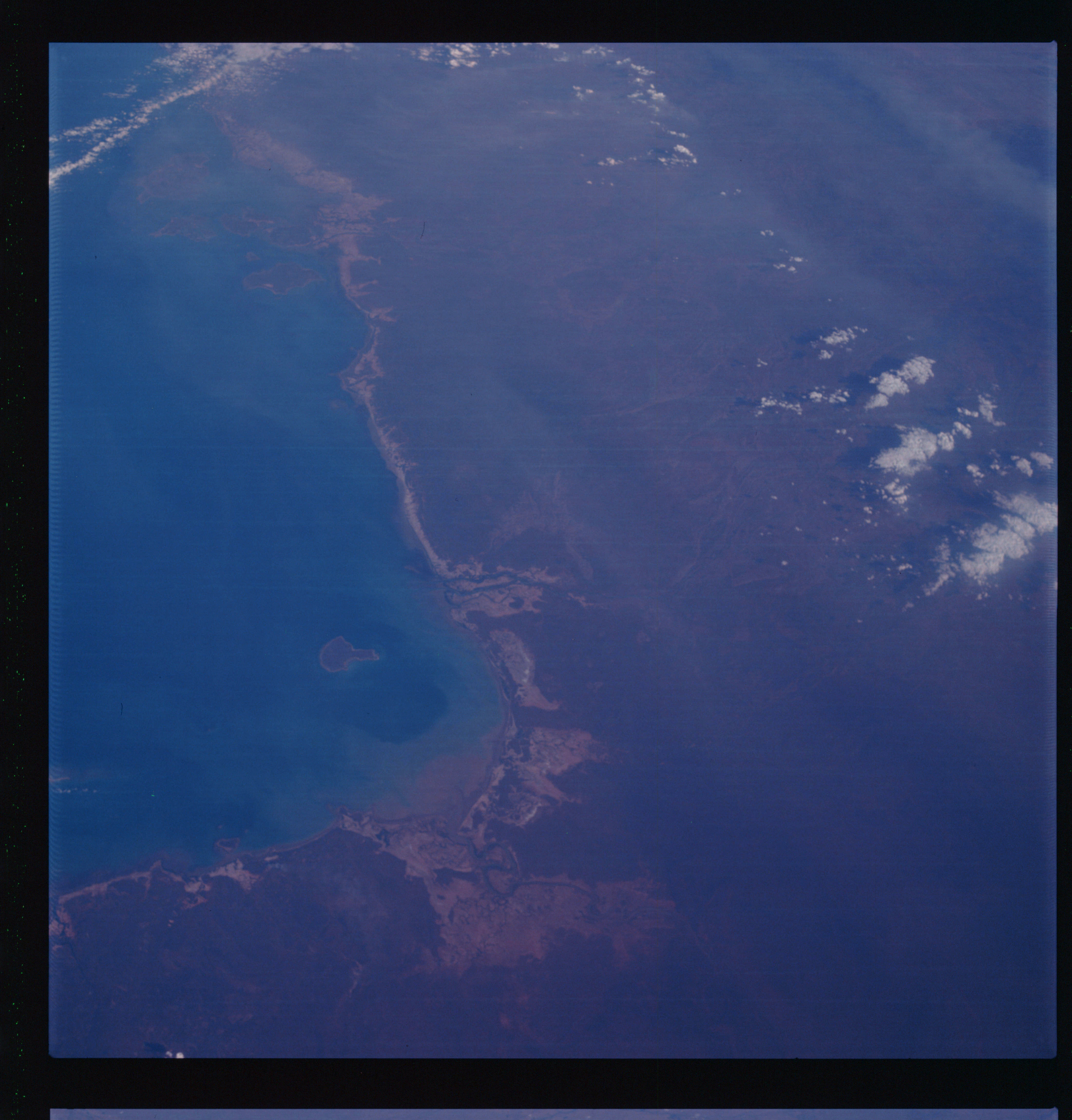 | AS07-07-1843 GEOGRAPHY/CARTOGRAPHY: Australia, Gulf of Carpentaria, Mana Island, Lemmis Bight River. (Dark) GEOLOGY/HYDROLOGY: Coastal plain. METEOROLOGY: Cumulus. FORESTRY: Forest along coastline and streams. OCEANOGRAPHY: Ocean depths variations. Image credit: Image Science and Analysis Laboratory, NASA-Johnson Space Center. |
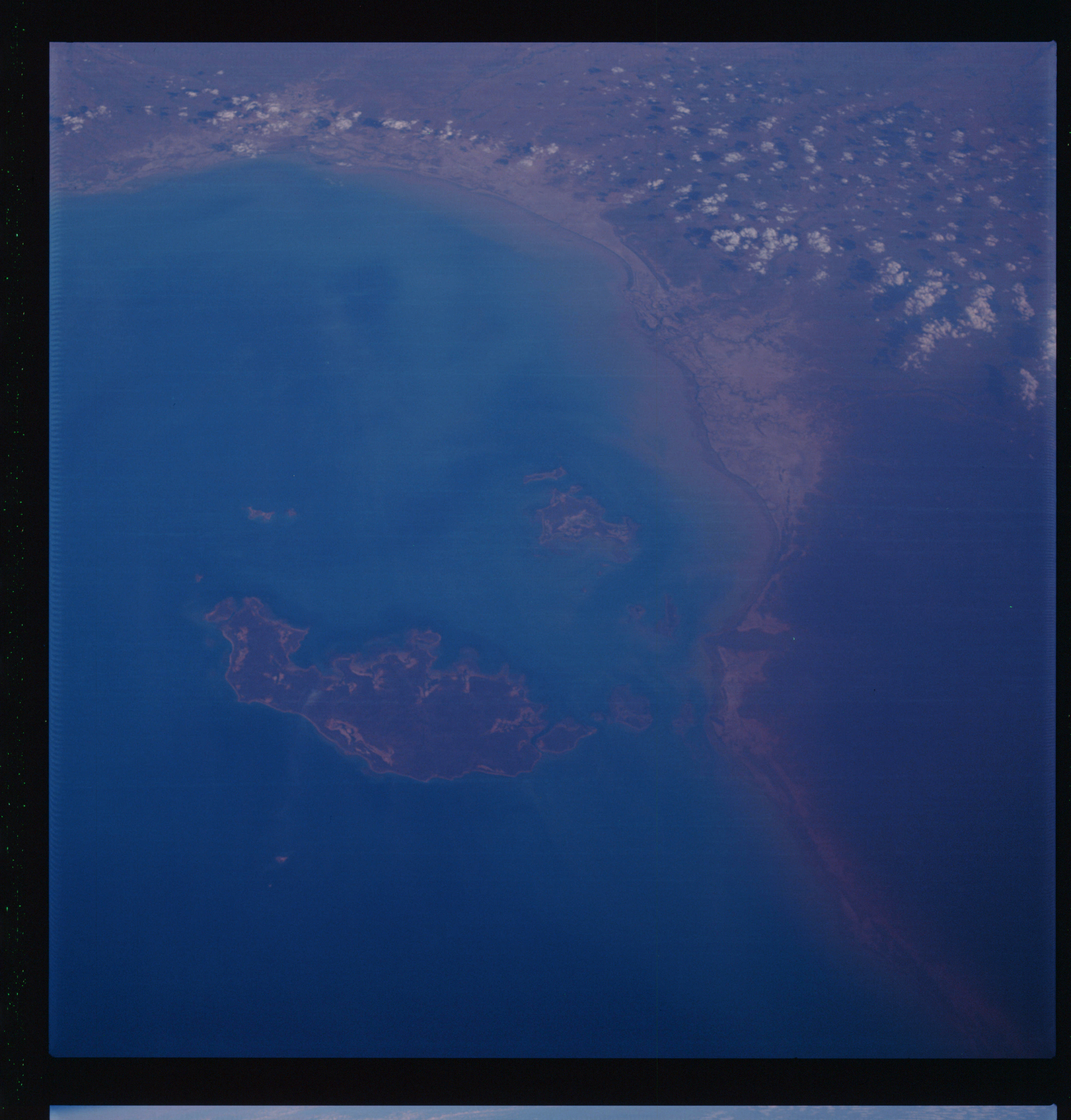 | AS07-07-1844 GEOGRAPHY/CARTOGRAPHY: Australia, Gulf of Carpentaria, Wellesley and South Wellesley Islands. (Dark) GEOLOGY/HYDROLOGY: Coastal lowland. METEOROLOGY: Cumulus. AGRICULTURE: Scattered field patterns along the coastline. FORESTRY: Intermittent forest lands. OCEANOGRAPHY: Ocean depth variations. Image credit: Image Science and Analysis Laboratory, NASA-Johnson Space Center. |
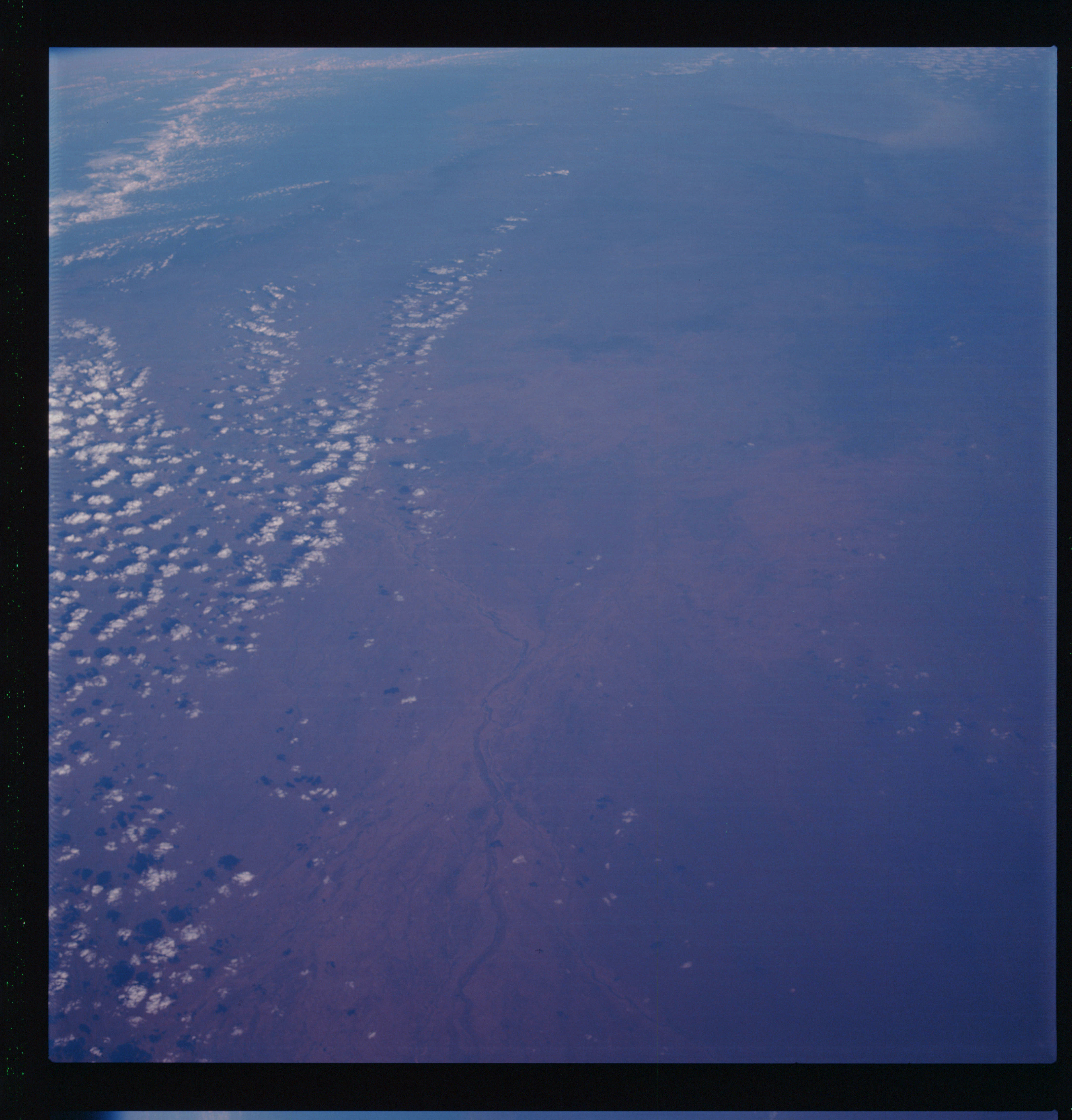 | AS07-07-1845 GEOGRAPHY/CARTOGRAPHY: Australia, Queensland, Great Diriding Range, Einasleigh River. (Dark) GEOLOGY/HYDROLOGY: Coastal Lowland, METEOROLOGY: Cumulus. FORESTRY: Forested along river. Image credit: Image Science and Analysis Laboratory, NASA-Johnson Space Center. |
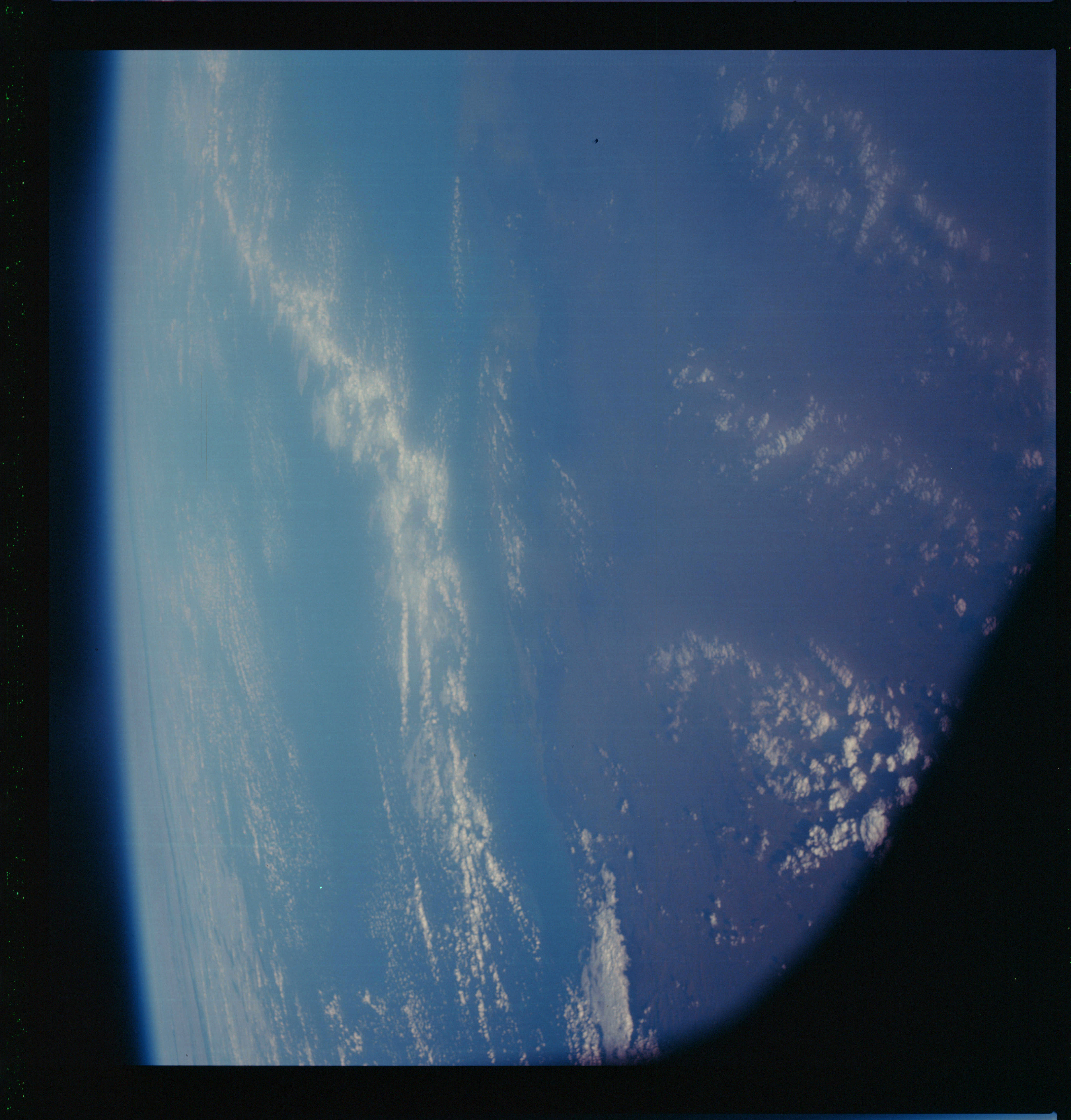 | AS07-07-1846 GEOGRAPHY/CARTOGRAPHY: Australia. (Dark} METEOROLOGY: Cumulus. : Image credit: Image Science and Analysis Laboratory, NASA-Johnson Space Center. |
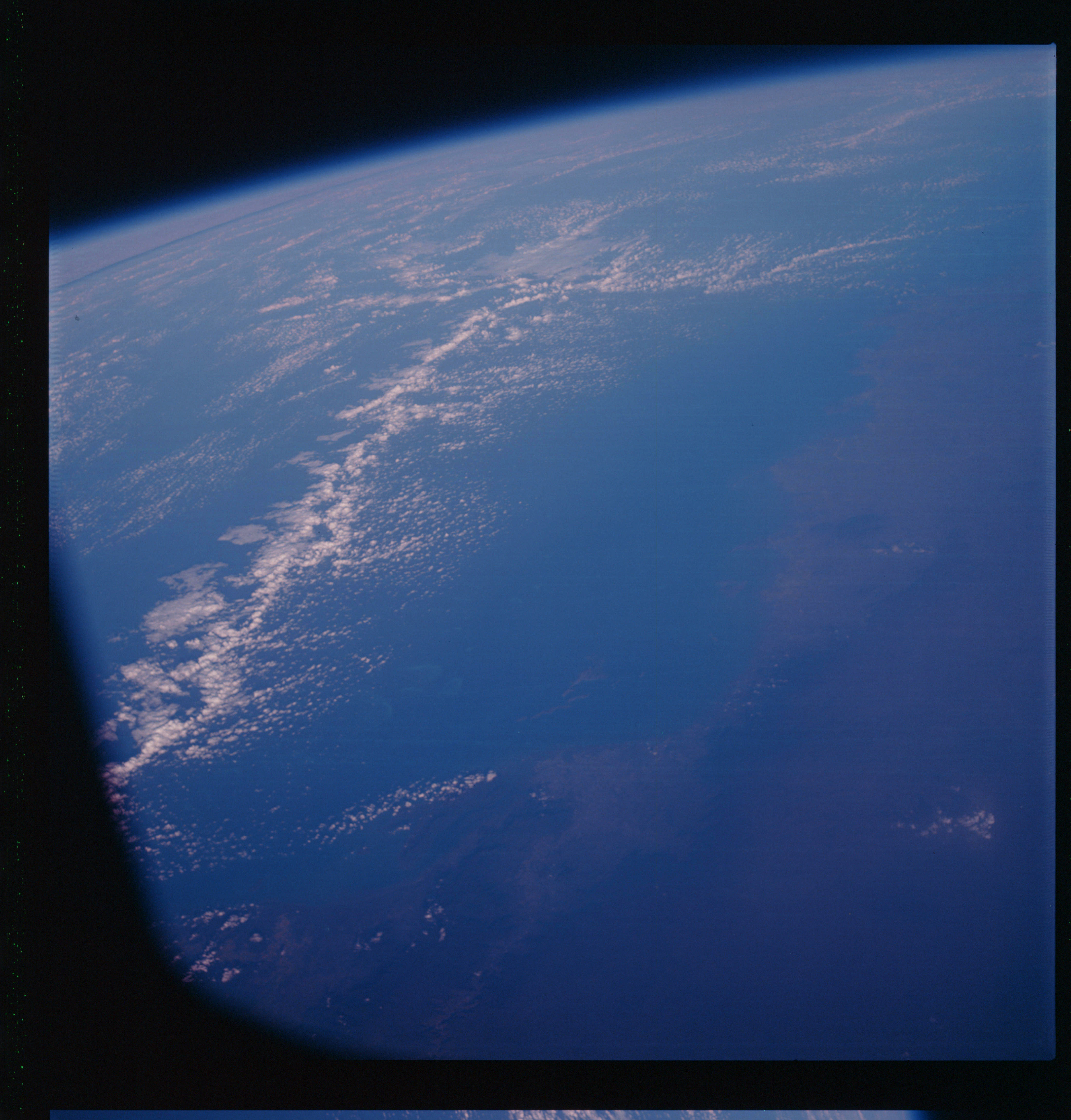 | AS07-07-1847 GEOGRAPHY/CARTOGRAPHY: Australia. (Dark} METEOROLOGY: Cumulus. : Image credit: Image Science and Analysis Laboratory, NASA-Johnson Space Center. |
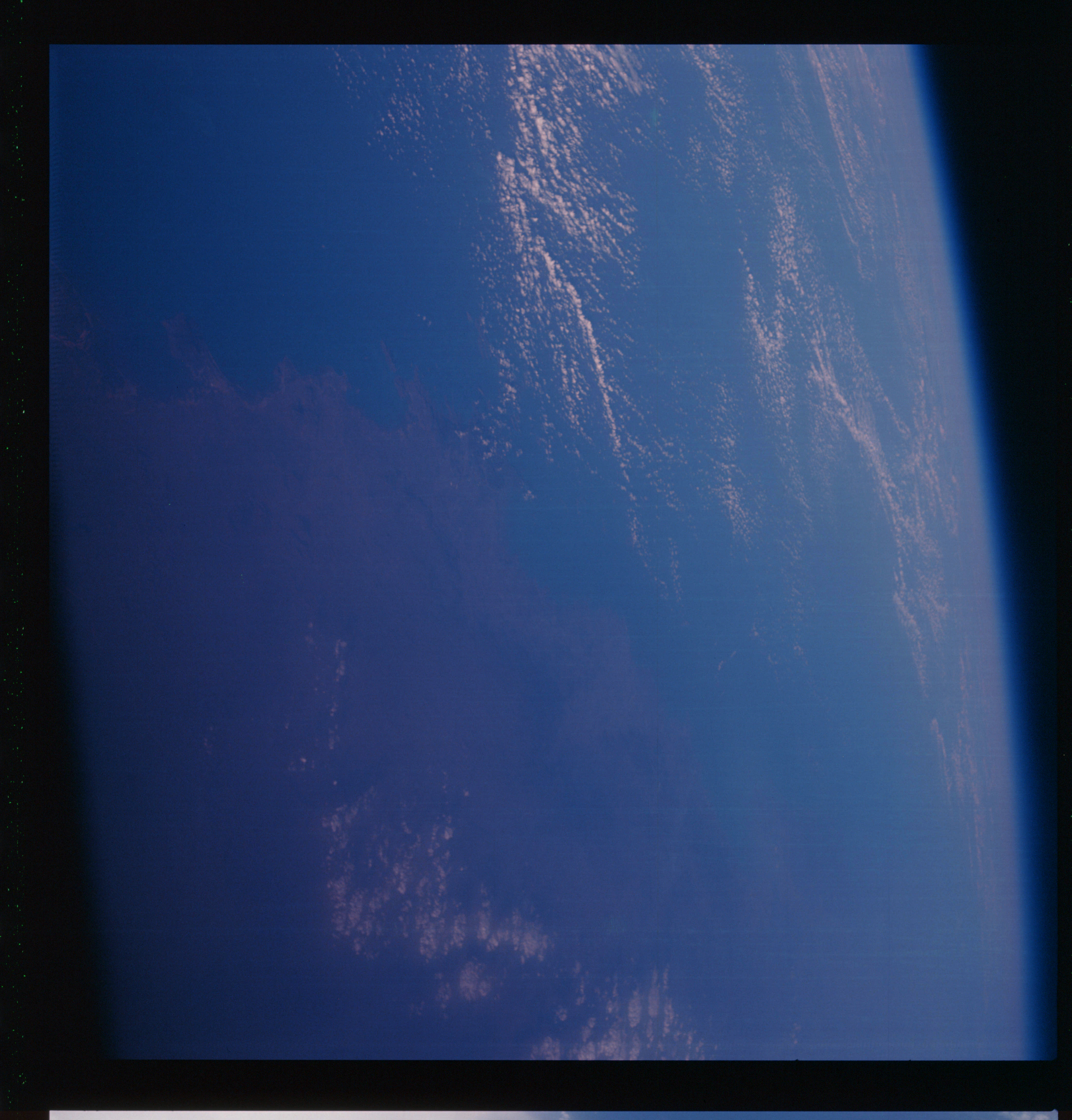 | AS07-07-1848 GEOGRAPHY/CARTOGRAPHY: Australia. (Dark} METEOROLOGY: Cumulus. : Image credit: Image Science and Analysis Laboratory, NASA-Johnson Space Center. |
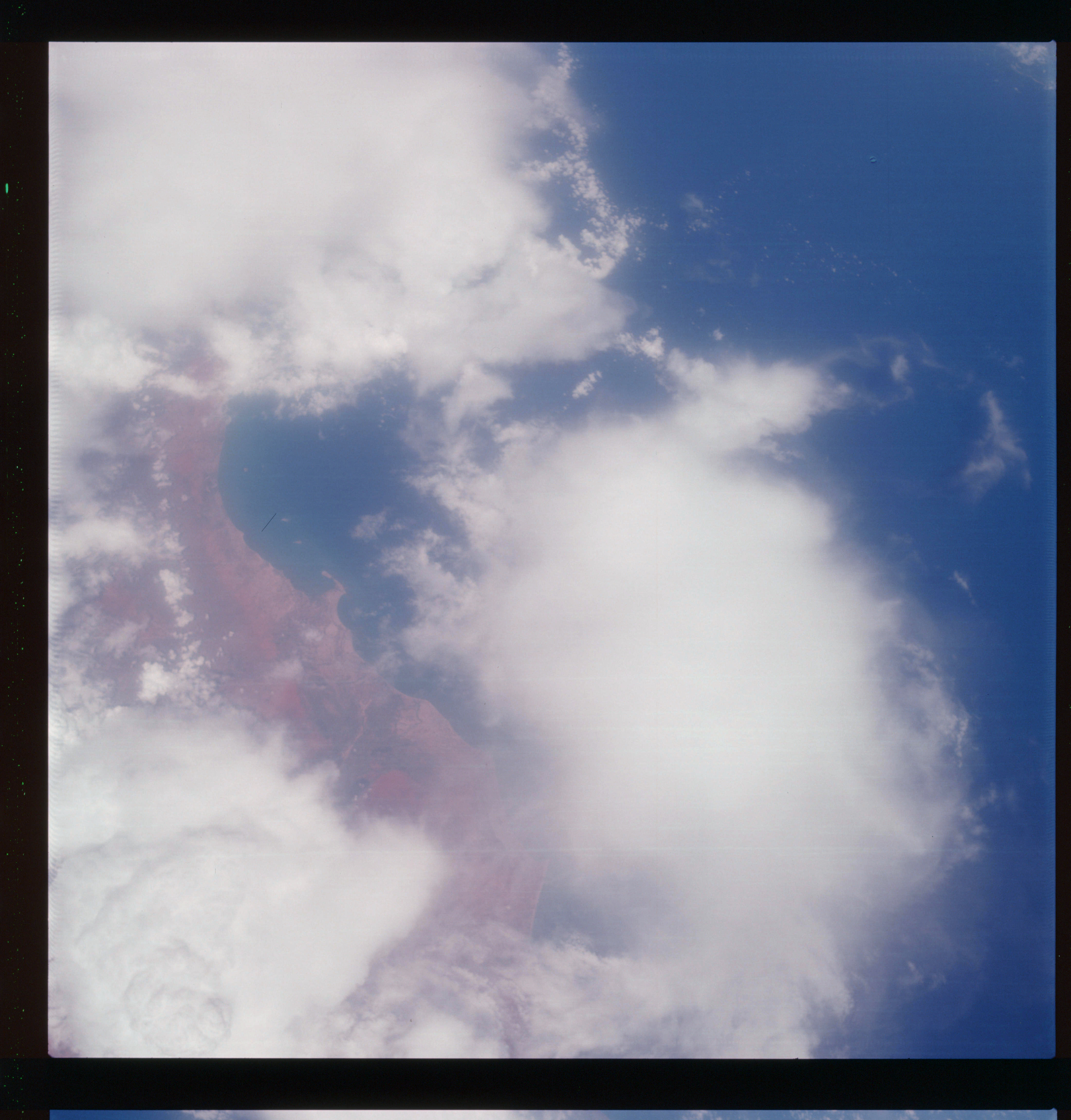 | AS07-07-1849 GEOGRAPHY/CARTOGRAPHY: India, Southern Tip, East Coast of Tubcoria. GEOLOGY/HYDROLOGY: Coastal lowland. METEOROLOGY: Cumulus, thick cirrus. AGRICULTURE: Small fields. Image credit: Image Science and Analysis Laboratory, NASA-Johnson Space Center. |
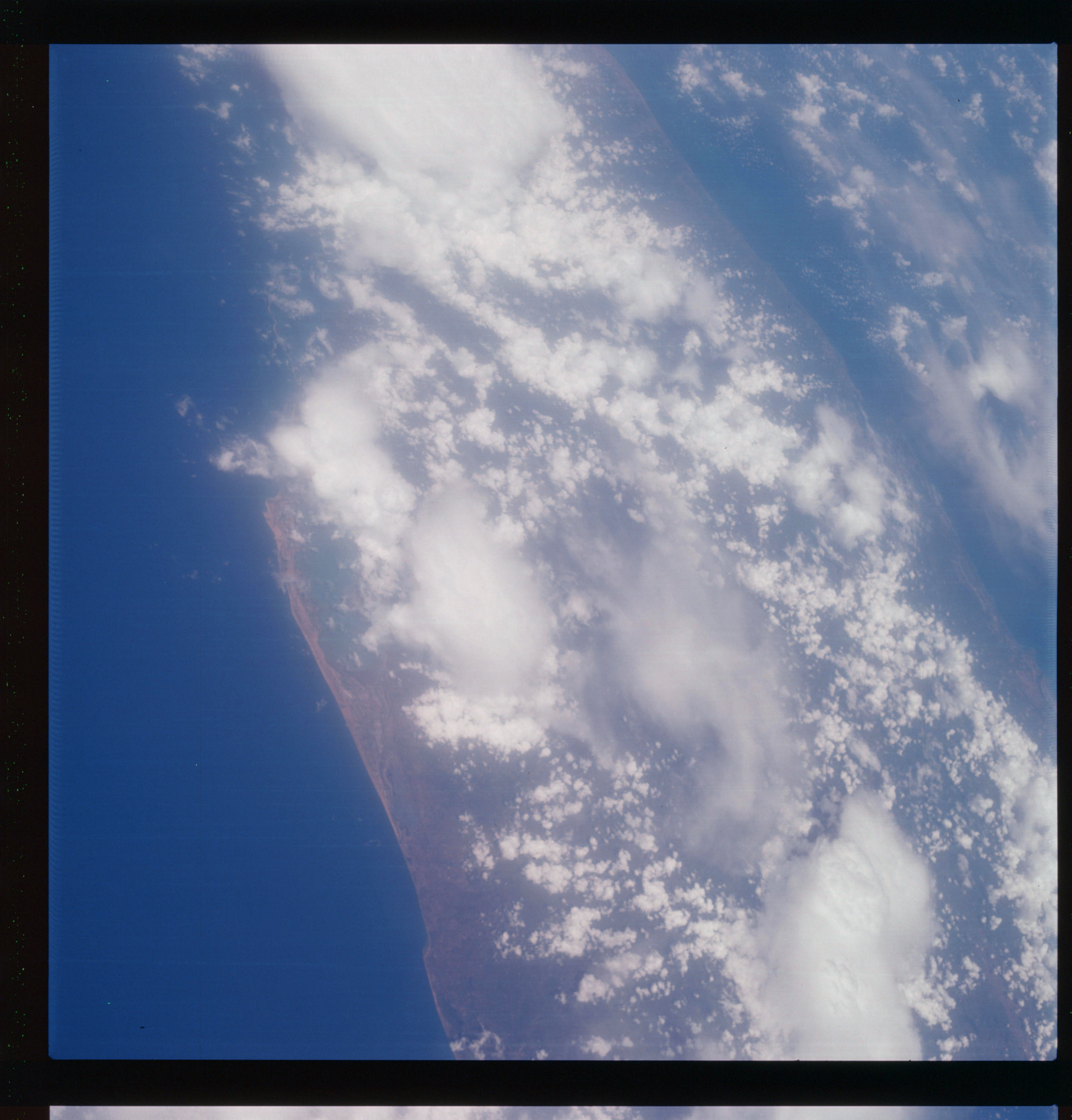 | AS07-07-1850 GEOGRAPHY/CARTOGRAPHY: Northern Ceylon. GEOLOGY/HYDROLOGY: Coastal plain region. METEOROLOGY: Cumulus, thick cirrus, alto-cumulus. FORESTRY: Intermittent forest lands. Image credit: Image Science and Analysis Laboratory, NASA-Johnson Space Center. |
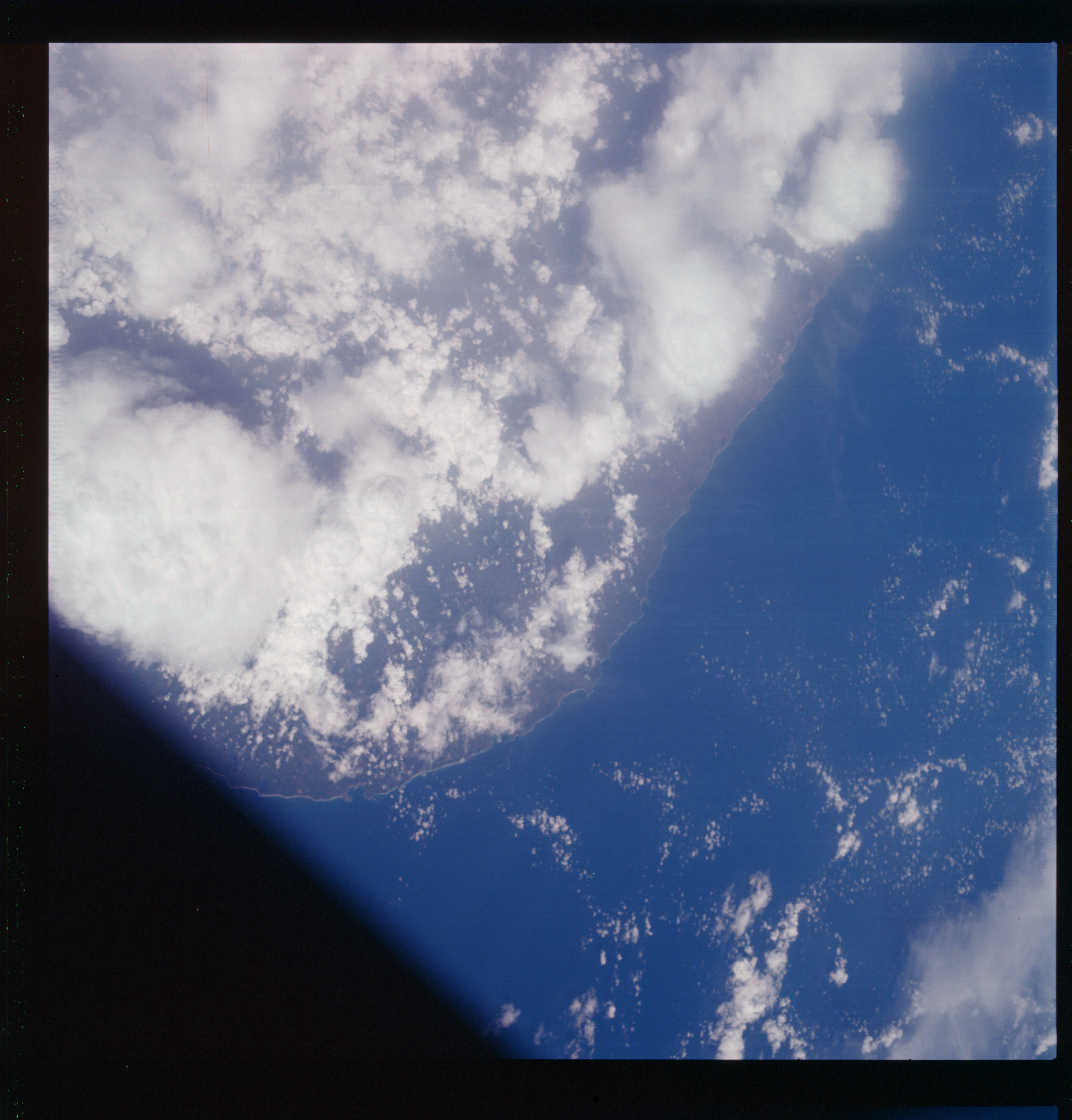 | AS07-07-1851 GEOGRAPHY/CARTOGRAPHY: Ceylon, Southern Coast Gable. (Light) GEOLOGY/HYDROLOGY: Coastal plain and complex plateau. METEOROLOGY: Cumulus, alto-cumulus. FORESTRY: Intermittent forest lands. Image credit: Image Science and Analysis Laboratory, NASA-Johnson Space Center. |
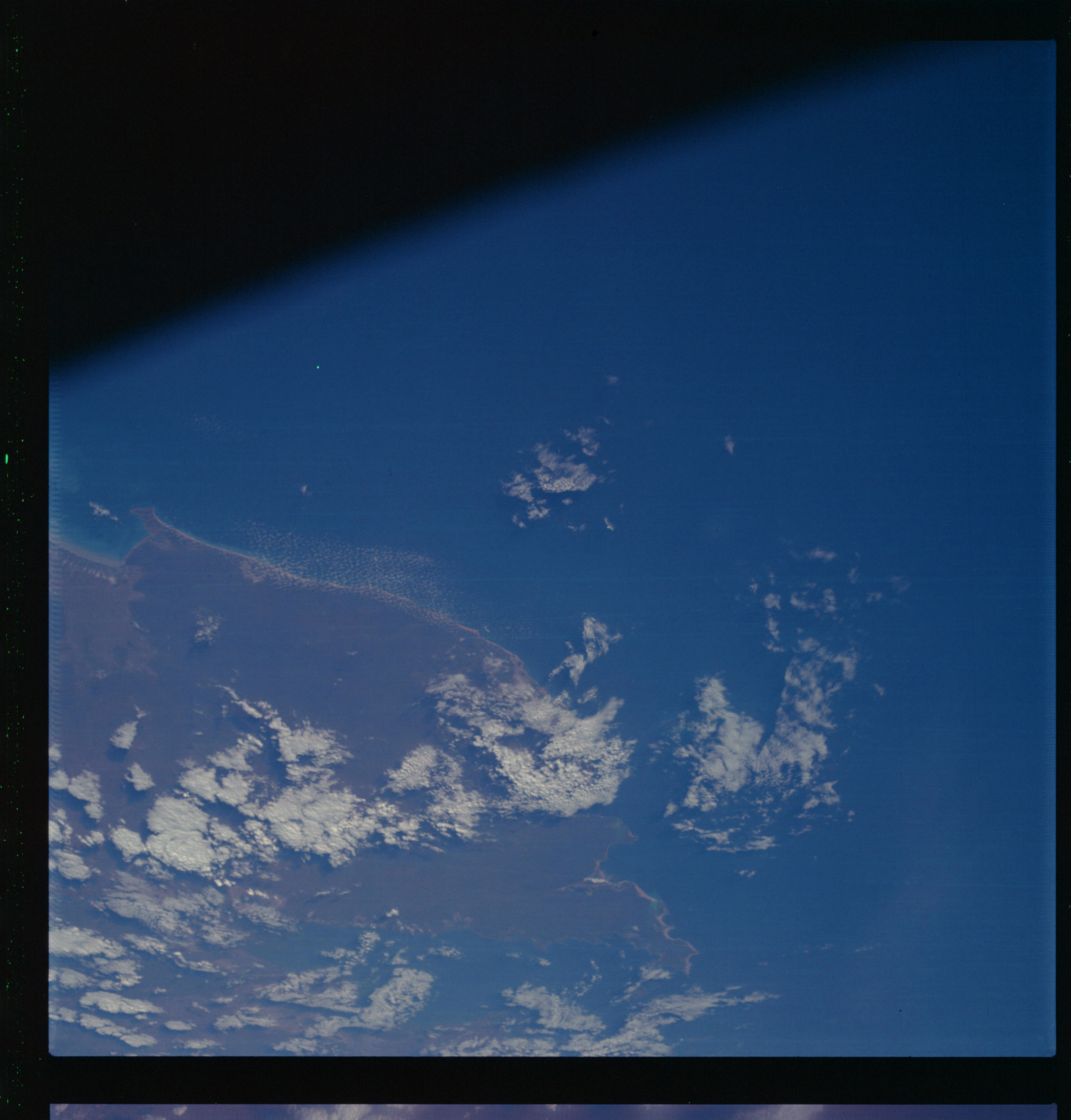 | AS07-07-1852 GEOGRAPHY/CARTOGRAPHY: Western Australia, King Sound. (Dark) GEOLOGY/HYDROLOGY: Coastal plain. METEOROLOGY: Strato-Cumulus. Image credit: Image Science and Analysis Laboratory, NASA-Johnson Space Center. |
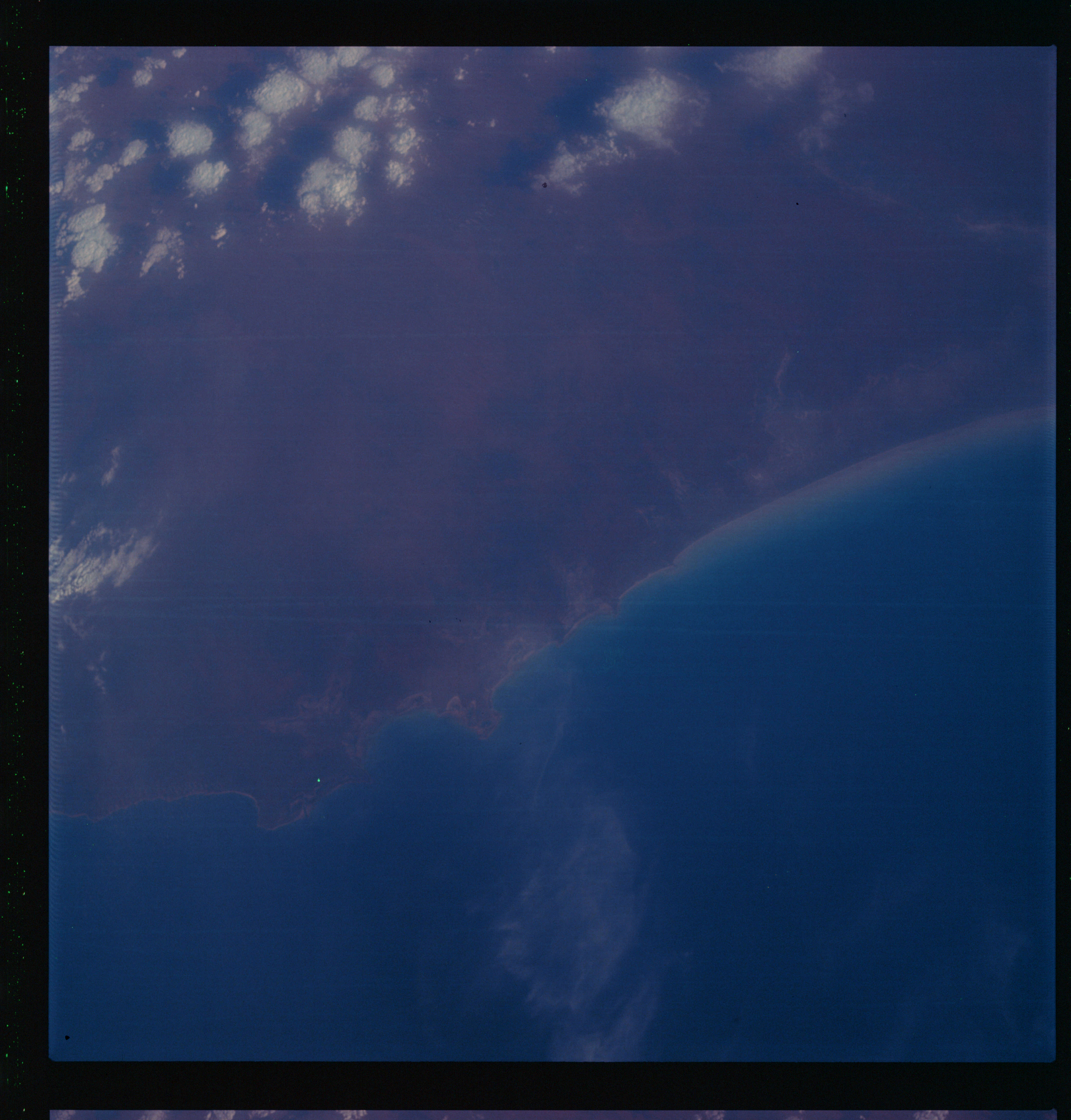 | AS07-07-1853 GEOGRAPHY/CARTOGRAPHY: Western Australia, La Grange Bay. (Dark) GEOLOGY/HYDROLOGY: Coastal Plain. METEOROLOGY: Strato-cumulus. Image credit: Image Science and Analysis Laboratory, NASA-Johnson Space Center. |
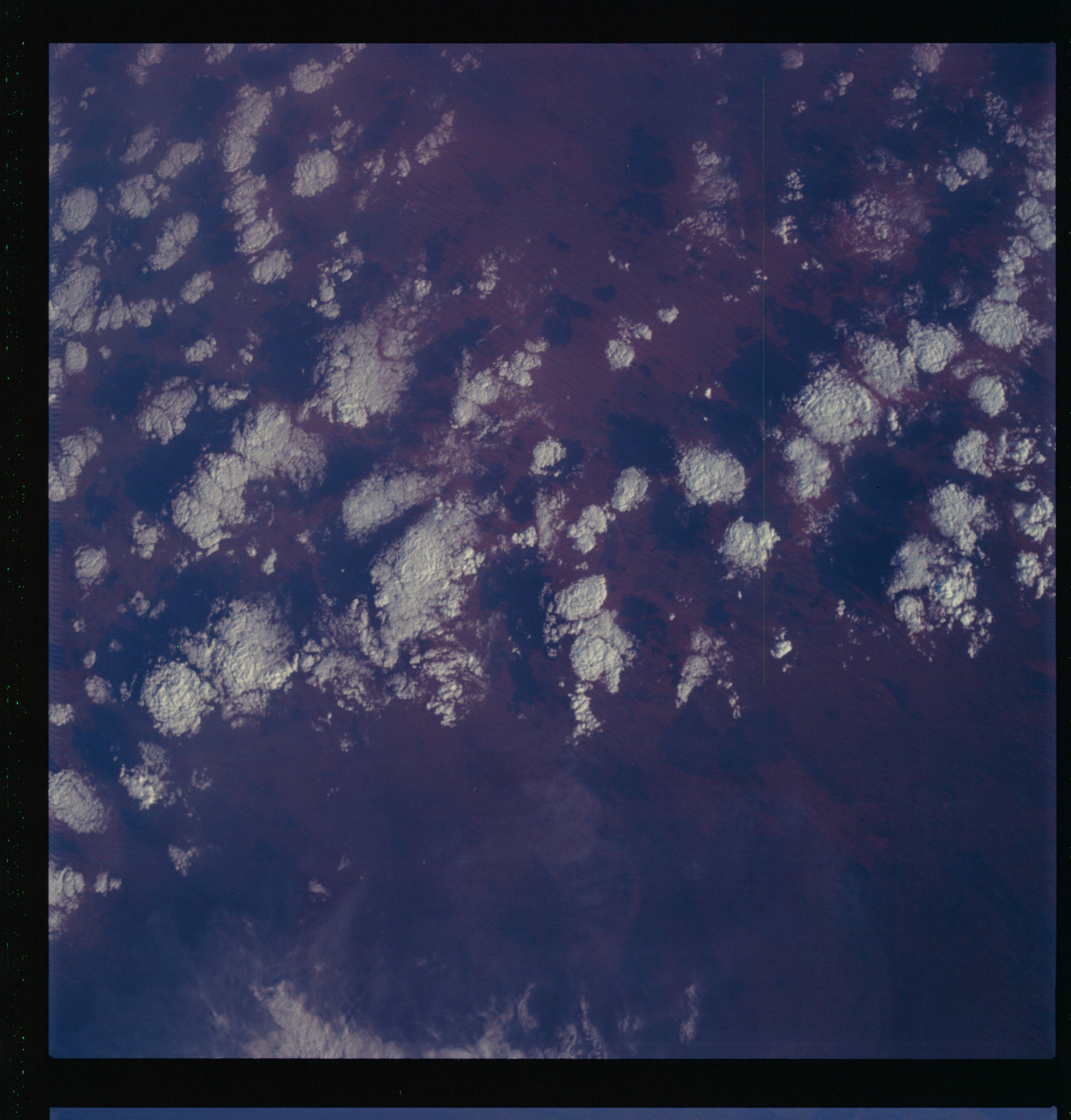 | AS07-07-1854 GEOGRAPHY/CARTOGRAPHY: Western Australia, Great Sandy Desert. (Dark) METEOROLOGY: Strato-cumulus. Image credit: Image Science and Analysis Laboratory, NASA-Johnson Space Center. |
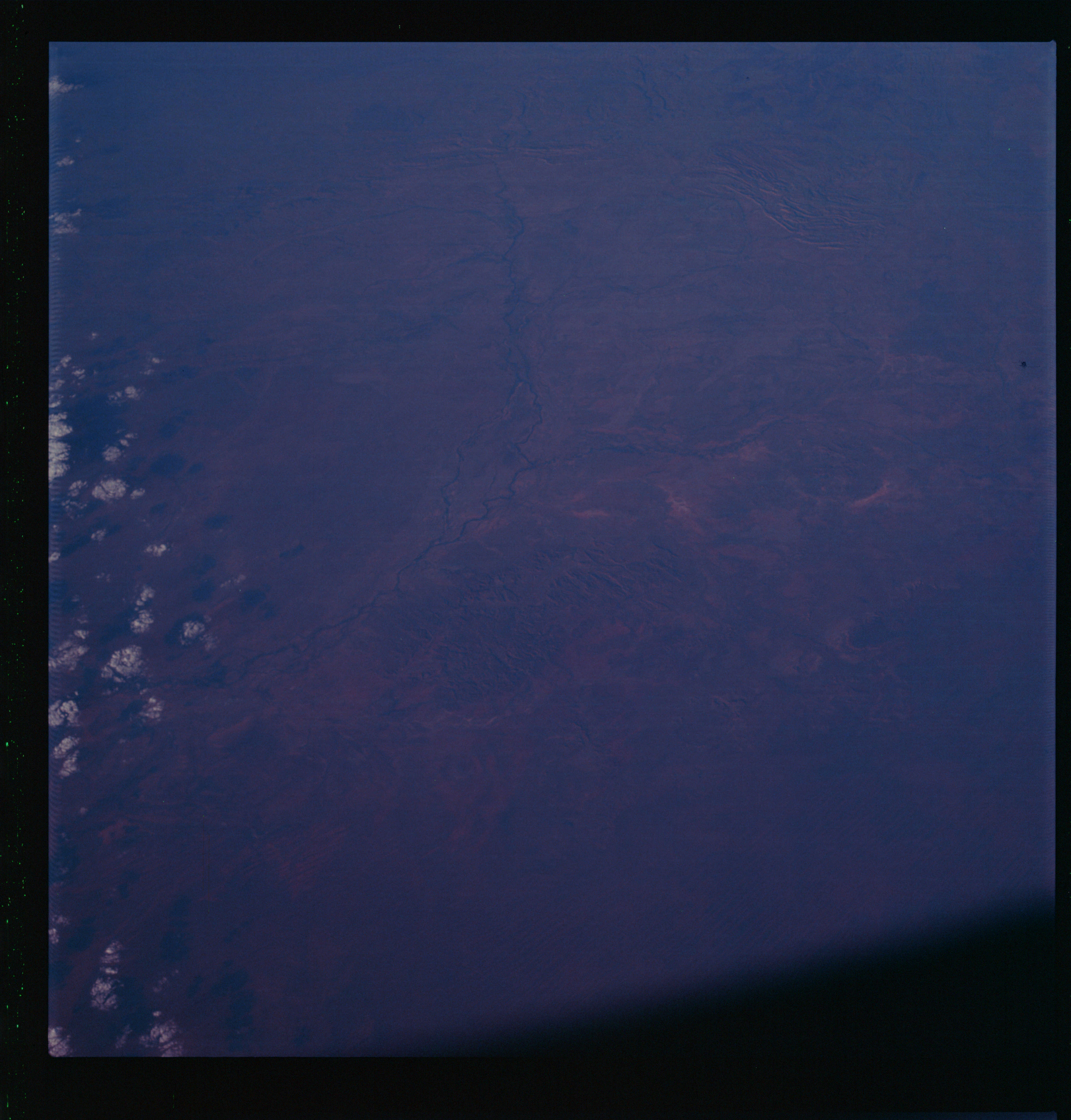 | AS07-07-1855 GEOGRAPHY/CARTOGRAPHY: Western Australia, Fitgrog and Margaret Rivers. (Dark) FORESTRY: Forested along streams. Image credit: Image Science and Analysis Laboratory, NASA-Johnson Space Center. |
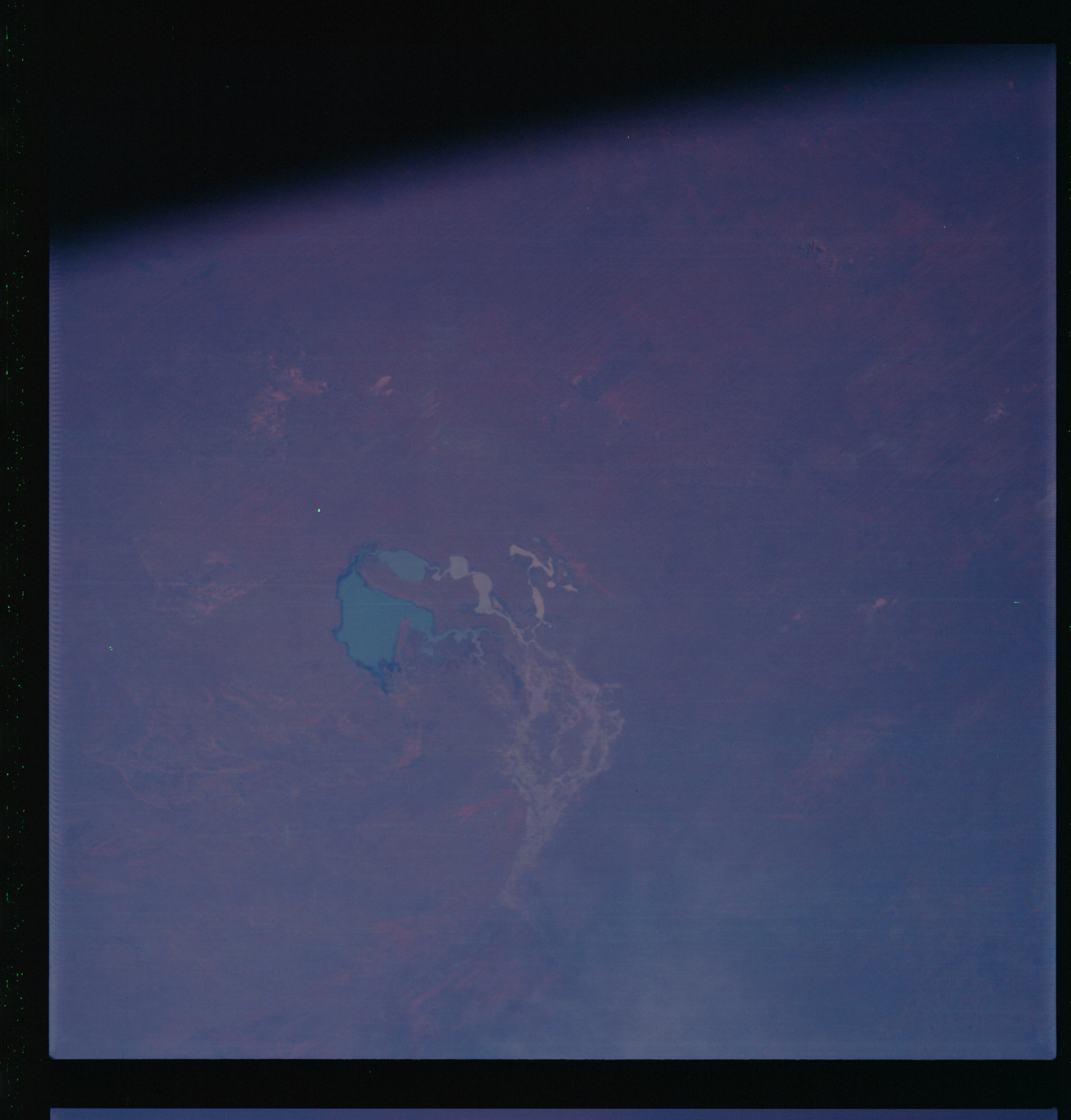 | AS07-07-1856 GEOGRAPHY/CARTOGRAPHY: Western Australia, Gregory Lake. (Dark) GEOLOGY/HYDROLOGY: Lowland basin. FORESTRY: Bushes along streams. Image credit: Image Science and Analysis Laboratory, NASA-Johnson Space Center. |
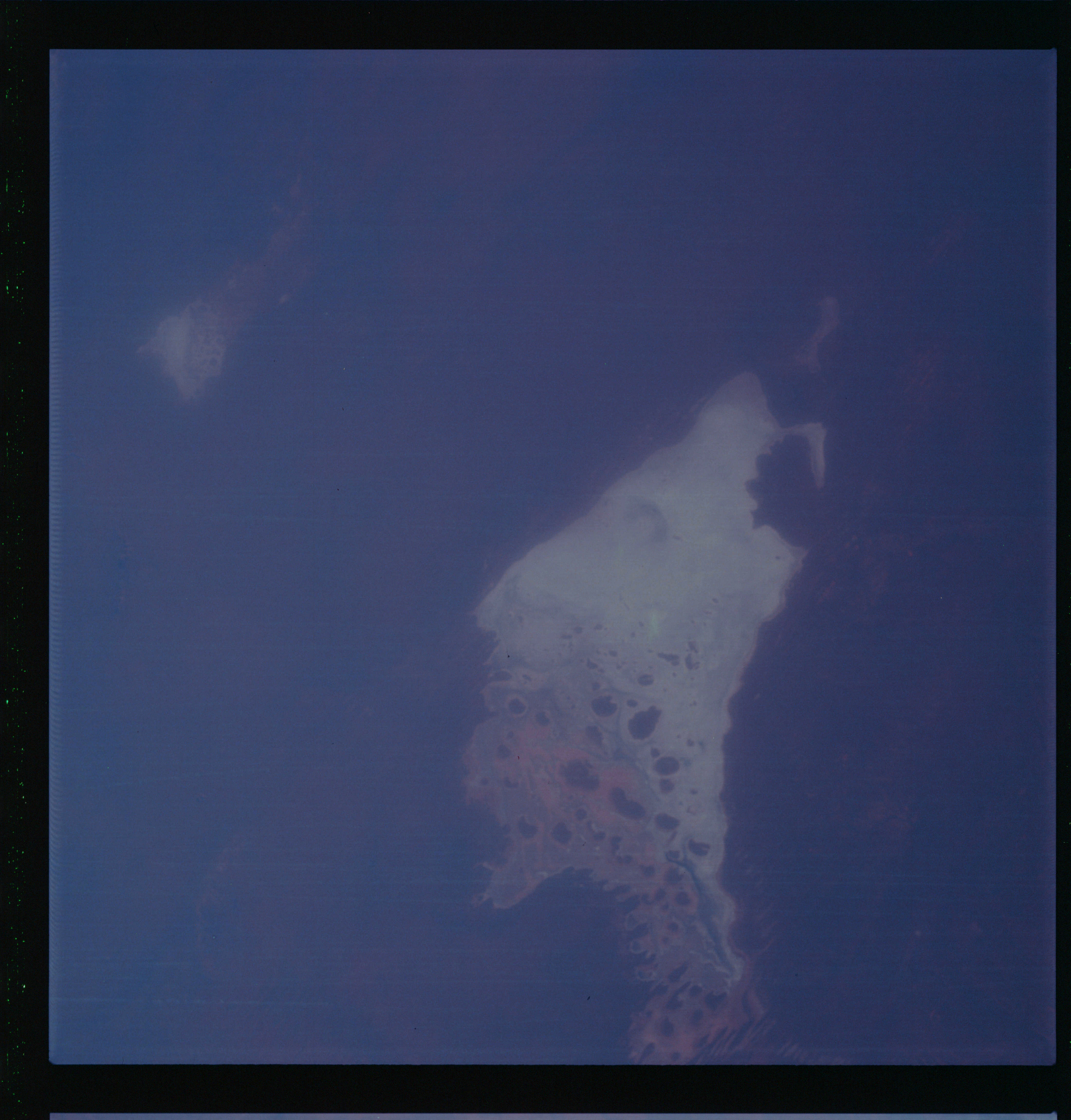 | AS07-07-1857 GEOGRAPHY/CARTOGRAPHY: Western Australia, Northern Territory, Lake Mackay, Great Sandy Desert. (Dark) GEOLOGY/HYDROLOGY: Partially dry lake basin in the lowland plains. Image credit: Image Science and Analysis Laboratory, NASA-Johnson Space Center. |
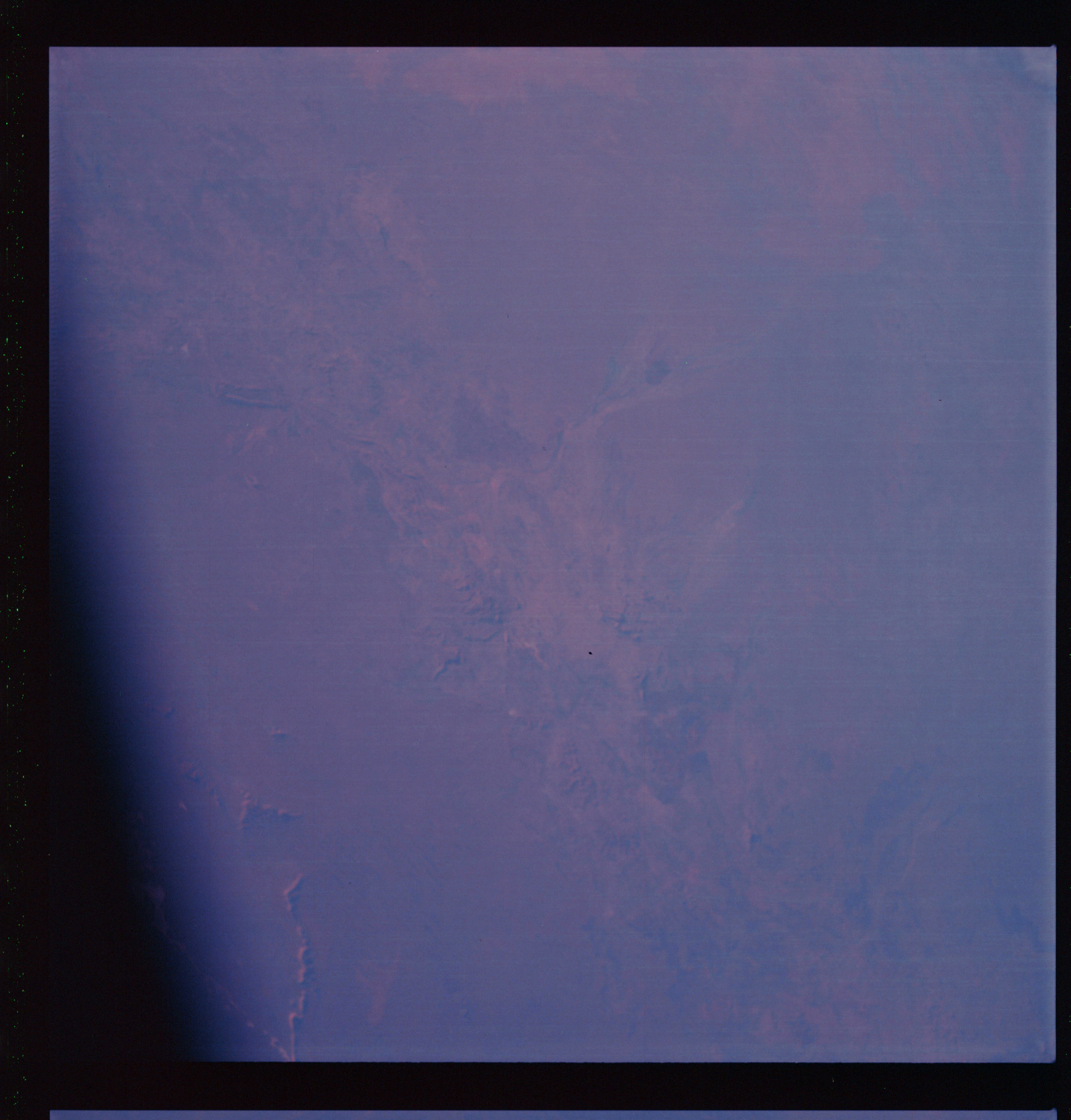 | AS07-07-1858 GEOGRAPHY/CARTOGRAPHY: Australia: Northern Territory, near Alice Springs. Image credit: Image Science and Analysis Laboratory, NASA-Johnson Space Center. |
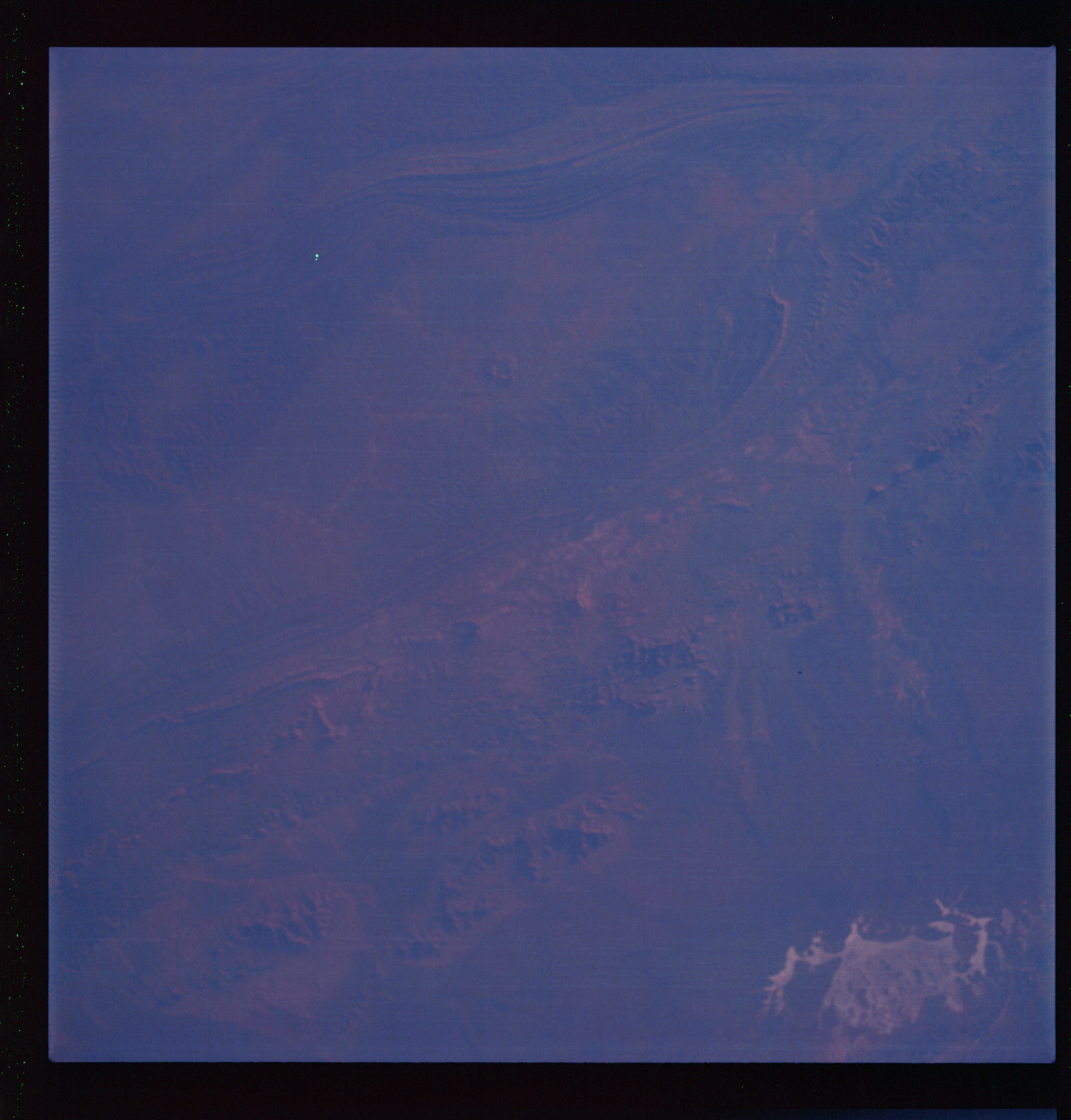 | AS07-07-1859 GEOGRAPHY/CARTOGRAPHY: Australia: Northern Territory, MacConnall Ranges, Alice Springs. (Dark) GEOLOGY/HYDROLOGY: Folded sedimentary mountain region. Image credit: Image Science and Analysis Laboratory, NASA-Johnson Space Center. |
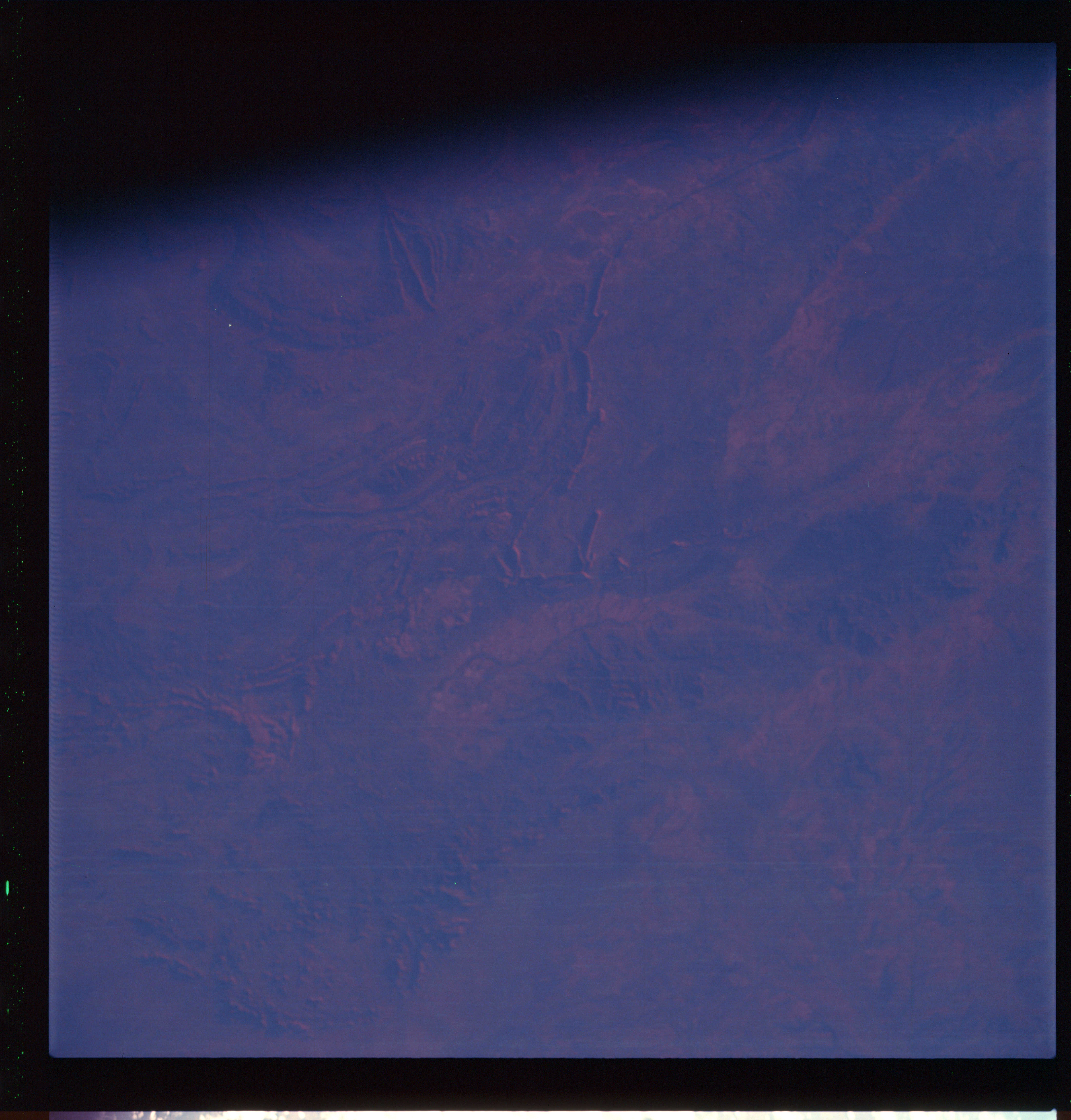 | AS07-07-1860 GEOGRAPHY/CARTOGRAPHY: Australia: Northern Territory, near Alice Springs. (Dark) GEOLOGY/HYDROLOGY: Folded mountain region. Image credit: Image Science and Analysis Laboratory, NASA-Johnson Space Center. |
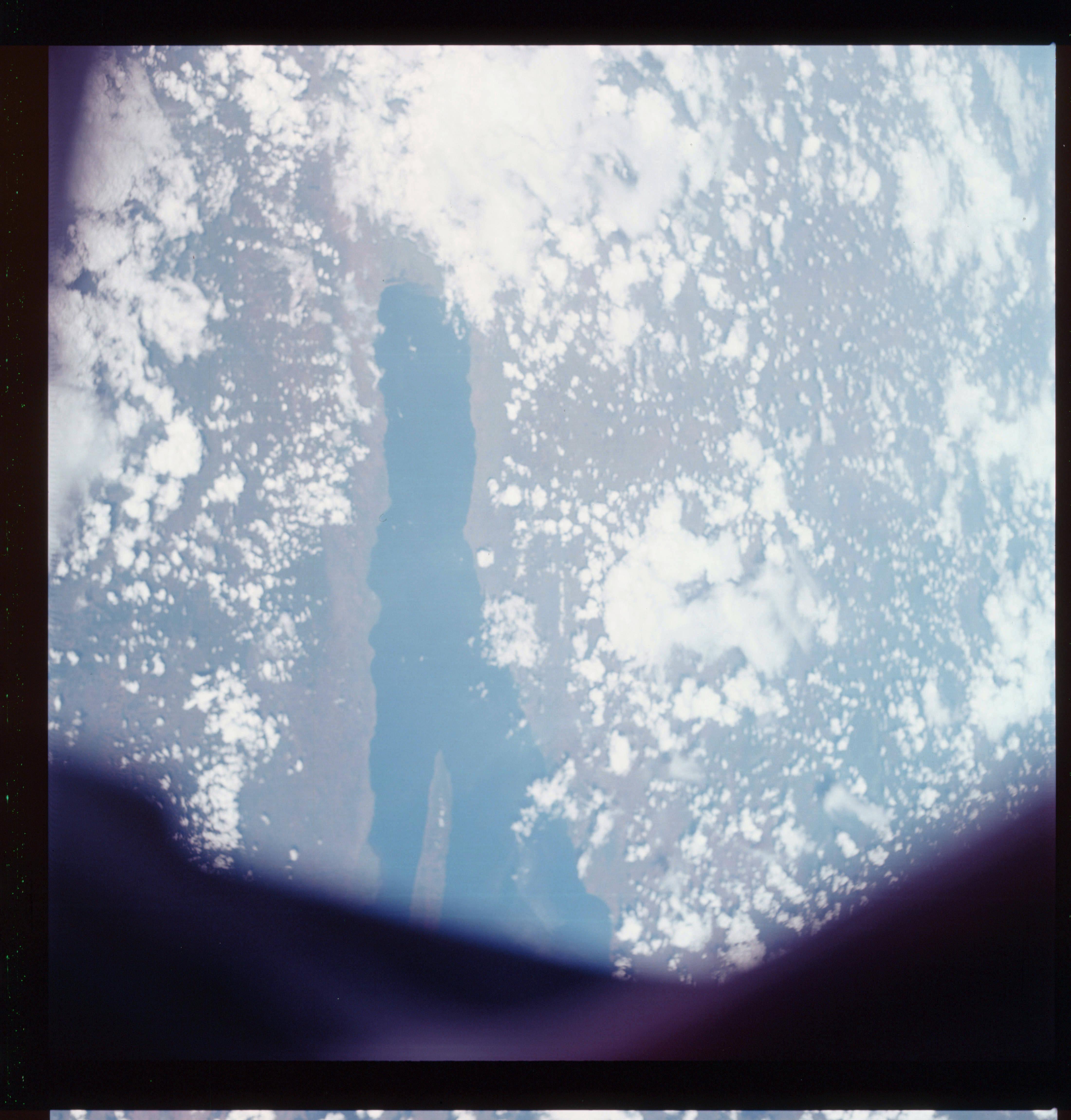 | AS07-07-1861 GEOGRAPHY/CARTOGRAPHY: Tanzania, Burundi Republic of Congo, Lake Tanganyika. (Light) GEOLOGY/HYDROLOGY: Coastal lowland and complex plateau bounded by rift valley. METEOROLOGY: Cumulus. FORESTRY: Savanna grassland. Image credit: Image Science and Analysis Laboratory, NASA-Johnson Space Center. |
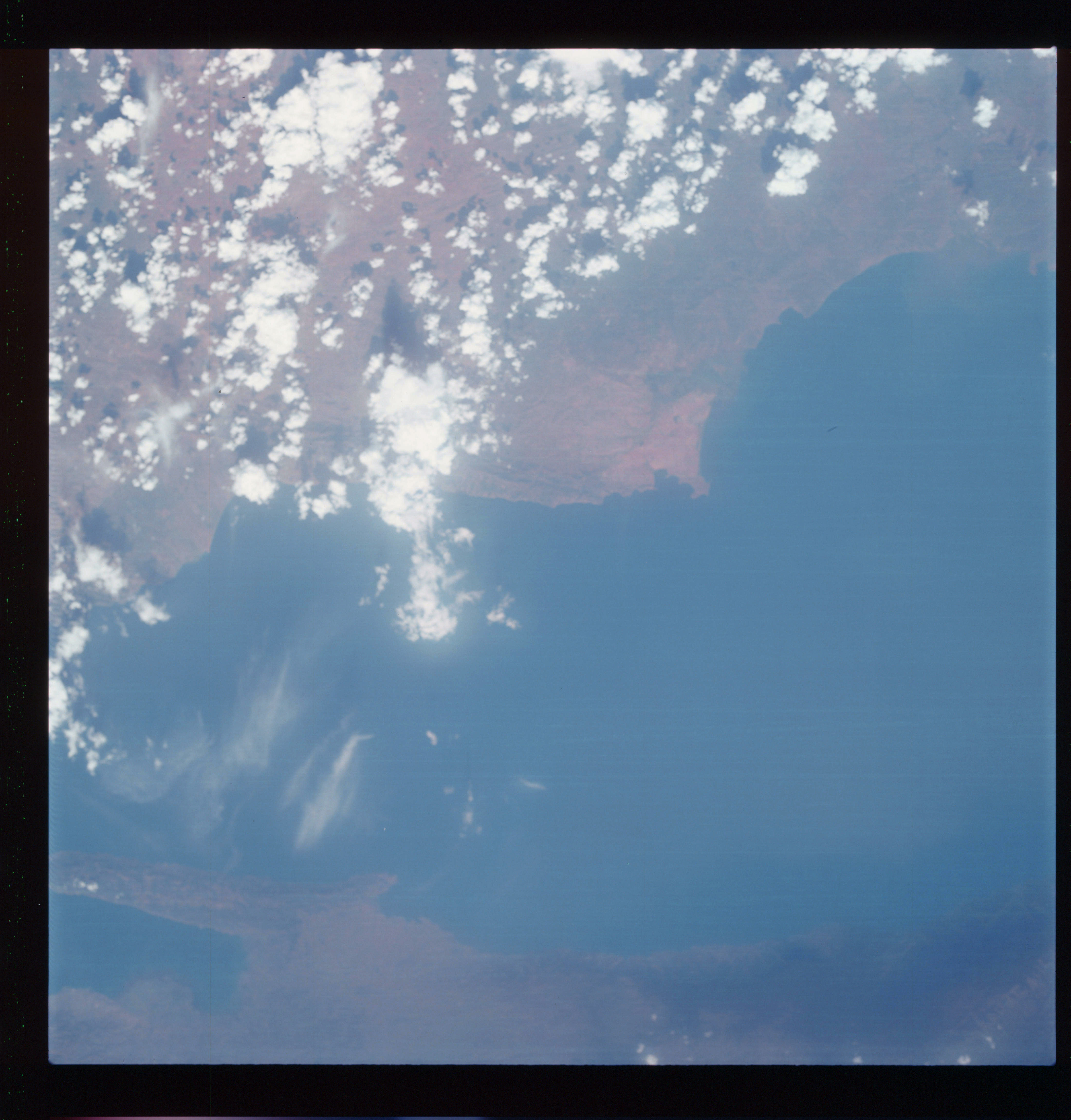 | AS07-07-1862 GEOGRAPHY/CARTOGRAPHY: Tanzania, Burundi Republic of Congo, Lake Tanganyika, Kigoma, Ujiji. (Light) GEOLOGY/HYDROLOGY: Complex plateau and coastal plain. METEOROLOGY: Cumulus, cirrus. AGRICULTURE: Field patterns along the lake. Image credit: Image Science and Analysis Laboratory, NASA-Johnson Space Center. |
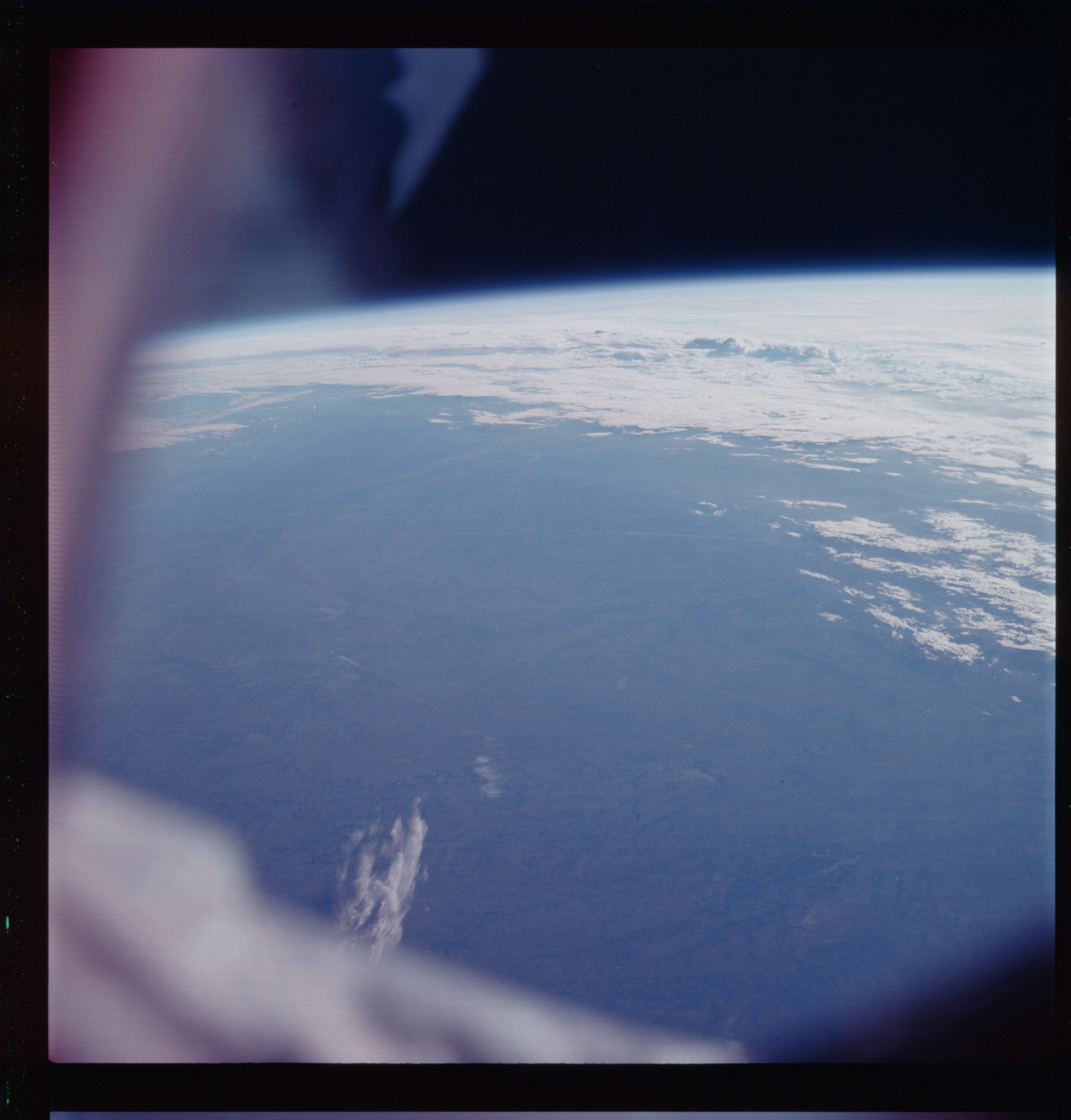 | AS07-07-1863 GEOGRAPHY/CARTOGRAPHY: Texas: Waco, Fort Worth, Dallas. GEOLOGY/HYDROLOGY: Central plains. METEOROLOGY: Cumulus, alto-cumulus. FORESTRY: Intermittent forest lands. Image credit: Image Science and Analysis Laboratory, NASA-Johnson Space Center. |
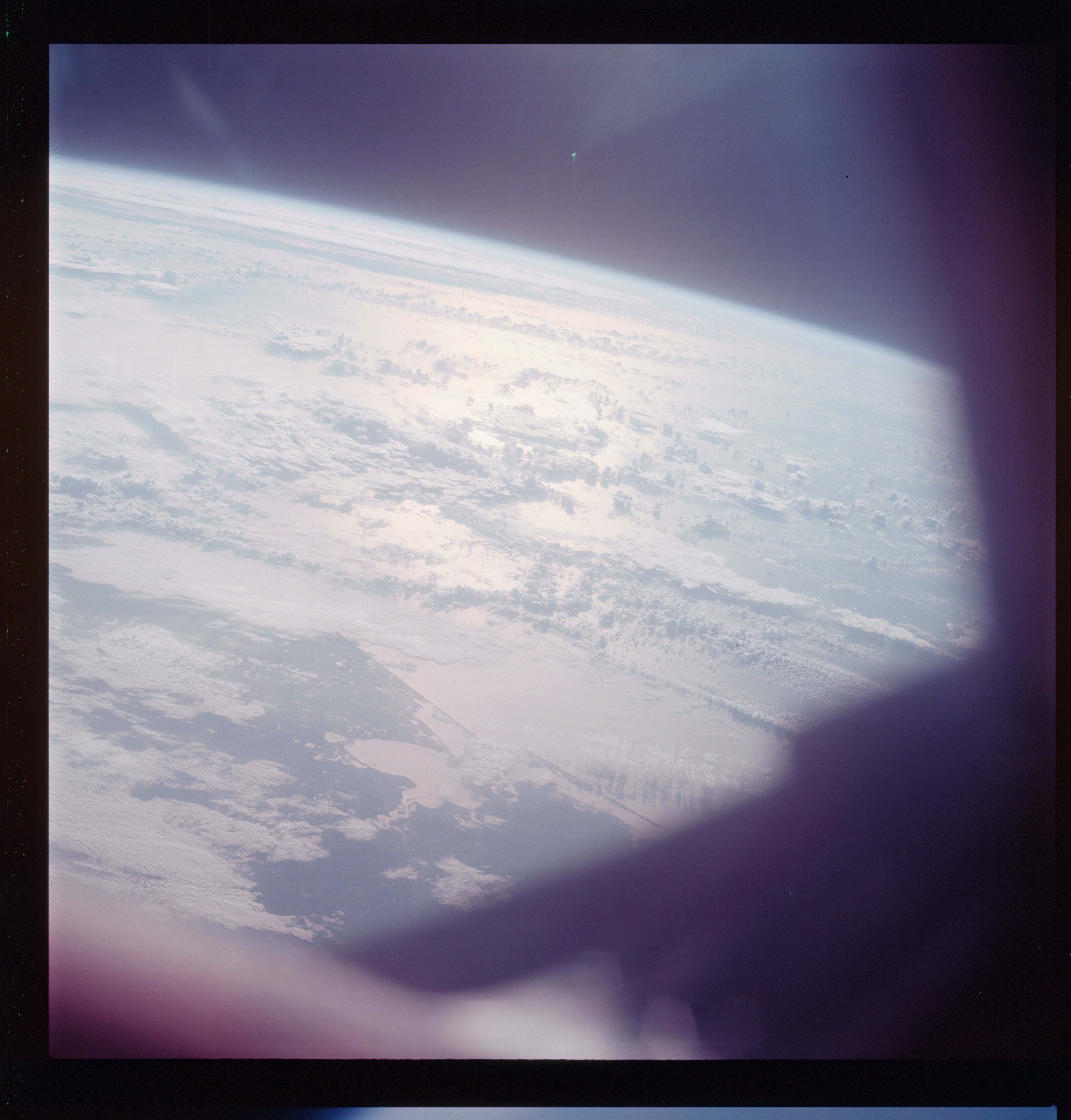 | AS07-07-1864 GEOGRAPHY/CARTOGRAPHY: Texas: Houston Area. (Light) GEOLOGY/HYDROLOGY: Coastal plains. METEOROLOGY: Cumulus, alto-cumulus. Image credit: Image Science and Analysis Laboratory, NASA-Johnson Space Center. |
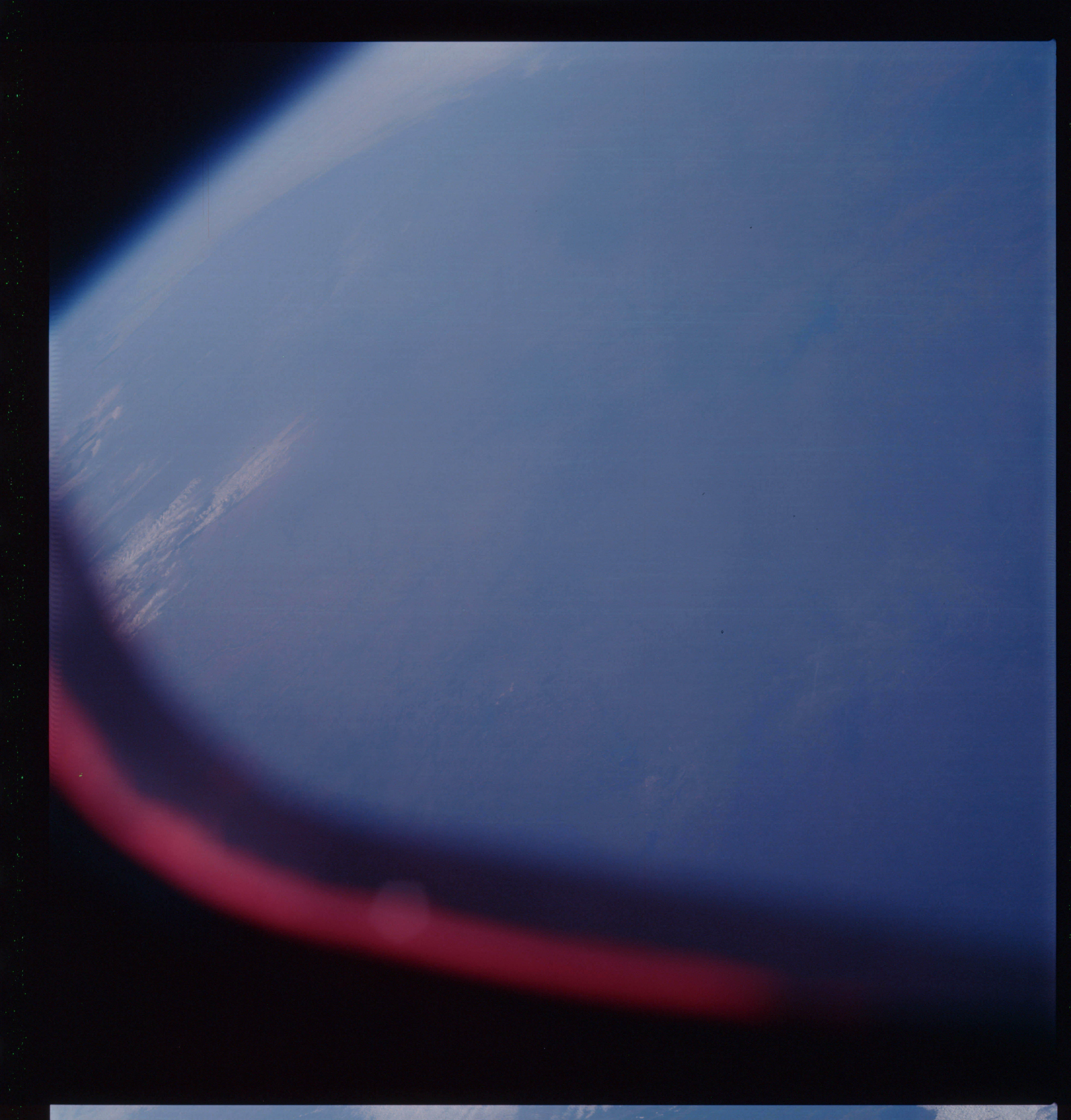 | AS07-07-1865 GEOGRAPHY/CARTOGRAPHY: Texas. METEOROLOGY: Cumulus, cirrus. 62 Image credit: Image Science and Analysis Laboratory, NASA-Johnson Space Center. |
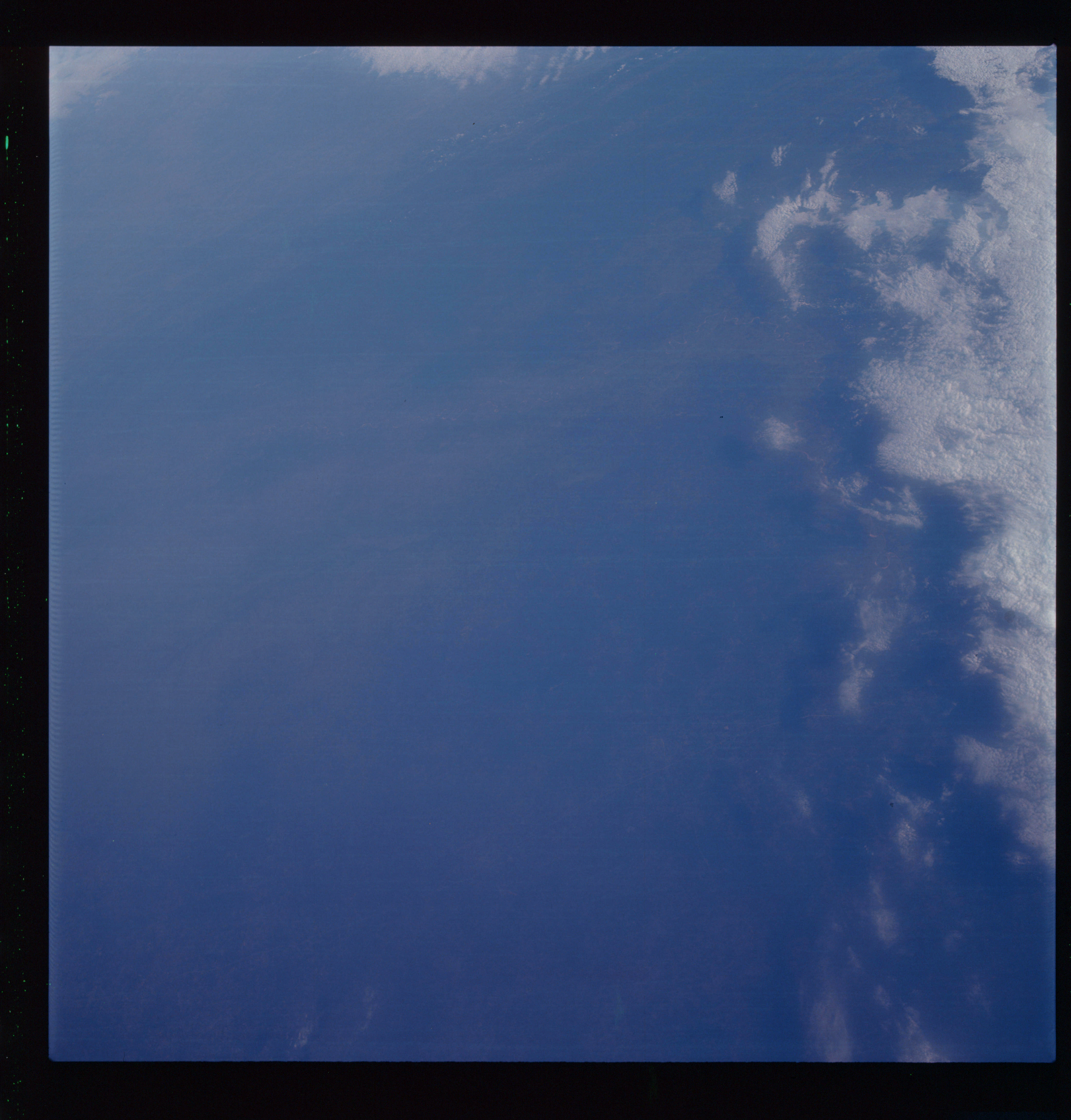 | AS07-07-1866 GEOGRAPHY/CARTOGRAPHY: Texas, Louisiana, Red River North to Shreveport. METEOROLOGY: Strato-cumulus. Image credit: Image Science and Analysis Laboratory, NASA-Johnson Space Center. |
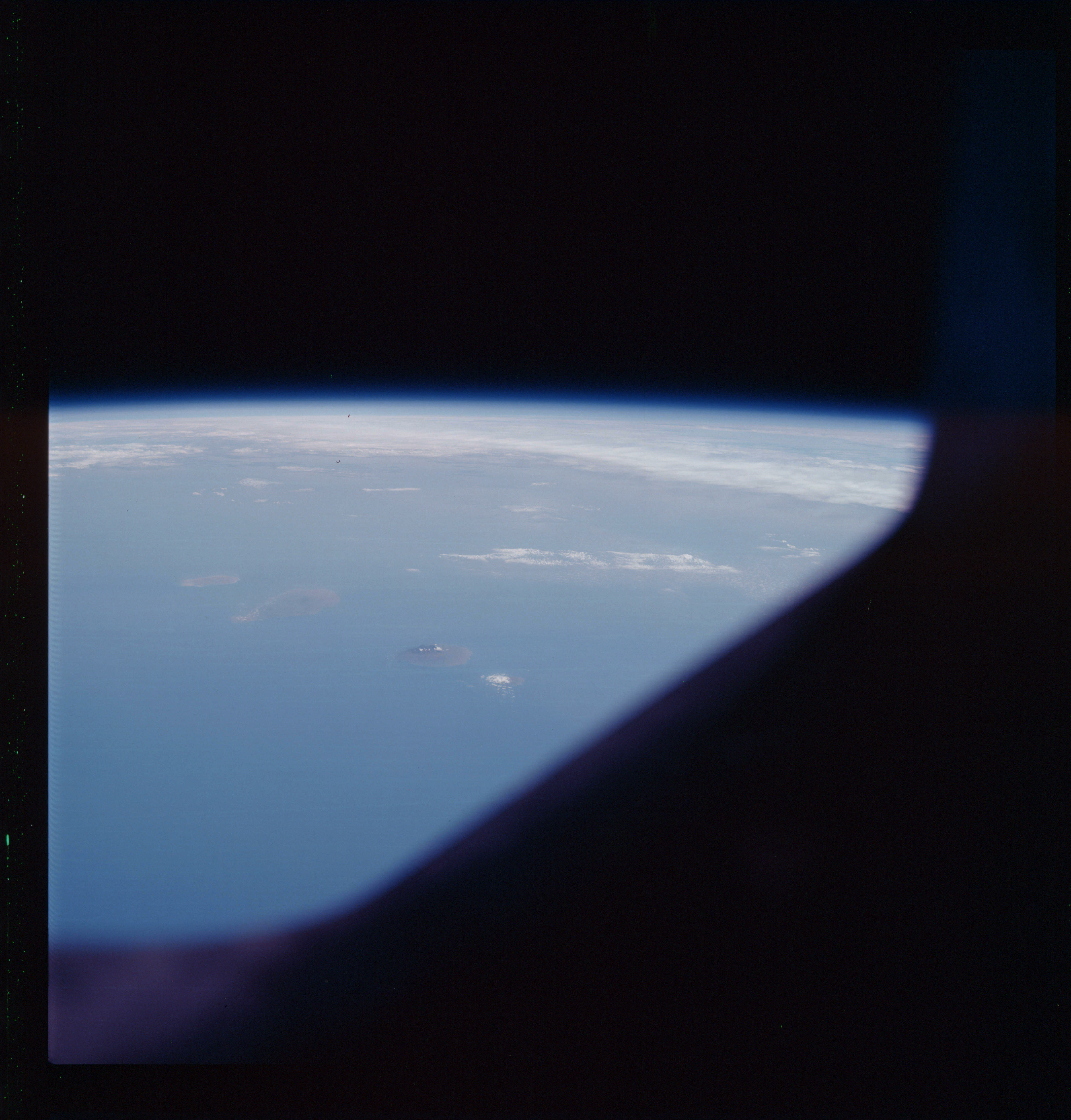 | AS07-07-1867 GEOGRAPHY/CARTOGRAPHY: Cape Verde Islands in East Pacific off Mauritania. GEOLOGY/HYDROLOGY: Volcanic islands. METEOROLOGY: Clouds in the horizon. OCEANOGRAPHY: Ocean depth variations. Image credit: Image Science and Analysis Laboratory, NASA-Johnson Space Center. |
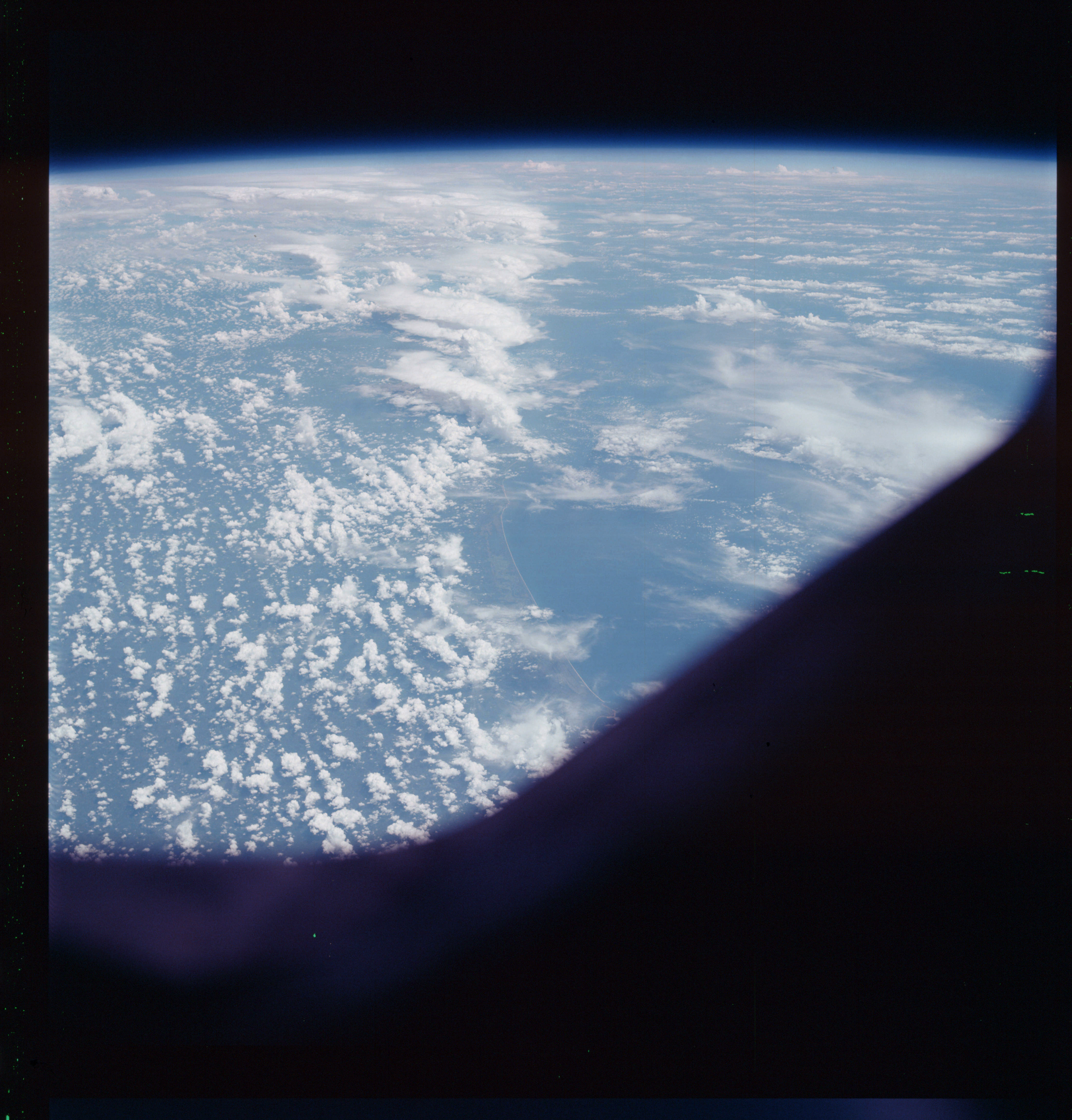 | AS07-07-1868 GEOGRAPHY/CARTOGRAPHY: Sierre Leon: Coast East of Shebur Straight. GEOLOGY/HYDROLOGY: Coastal lowland. METEOROLOGY: Cumulus, alto-cumulus. AGRICULTURE: Field patterns along coastal areas. FORESTRY: Savanna grassland. Image credit: Image Science and Analysis Laboratory, NASA-Johnson Space Center. |
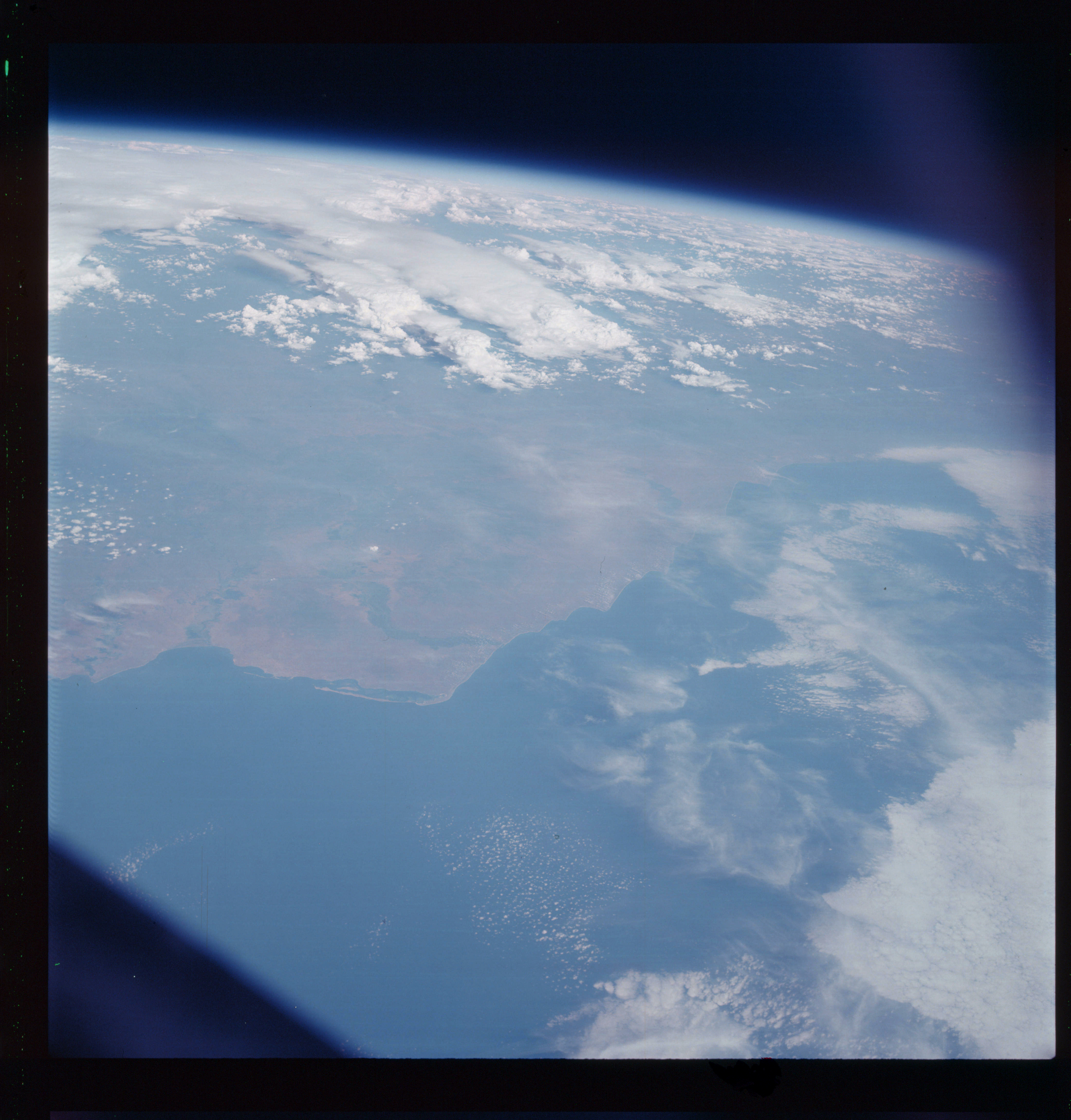 | AS07-07-1869 GEOGRAPHY/CARTOGRAPHY: Angola: Coast at Luanda, Rio Guanza, Gulf of Guinea. (Light) GEOLOGY/HYDROLOGY: Narrow coastal plain and complex plateau. METEOROLOGY: Cumulus, alto-cumulus, cirrus. AGRICULTURE: Field patterns along the coastal areas. FORESTRY: Savanna grassland. Image credit: Image Science and Analysis Laboratory, NASA-Johnson Space Center. |
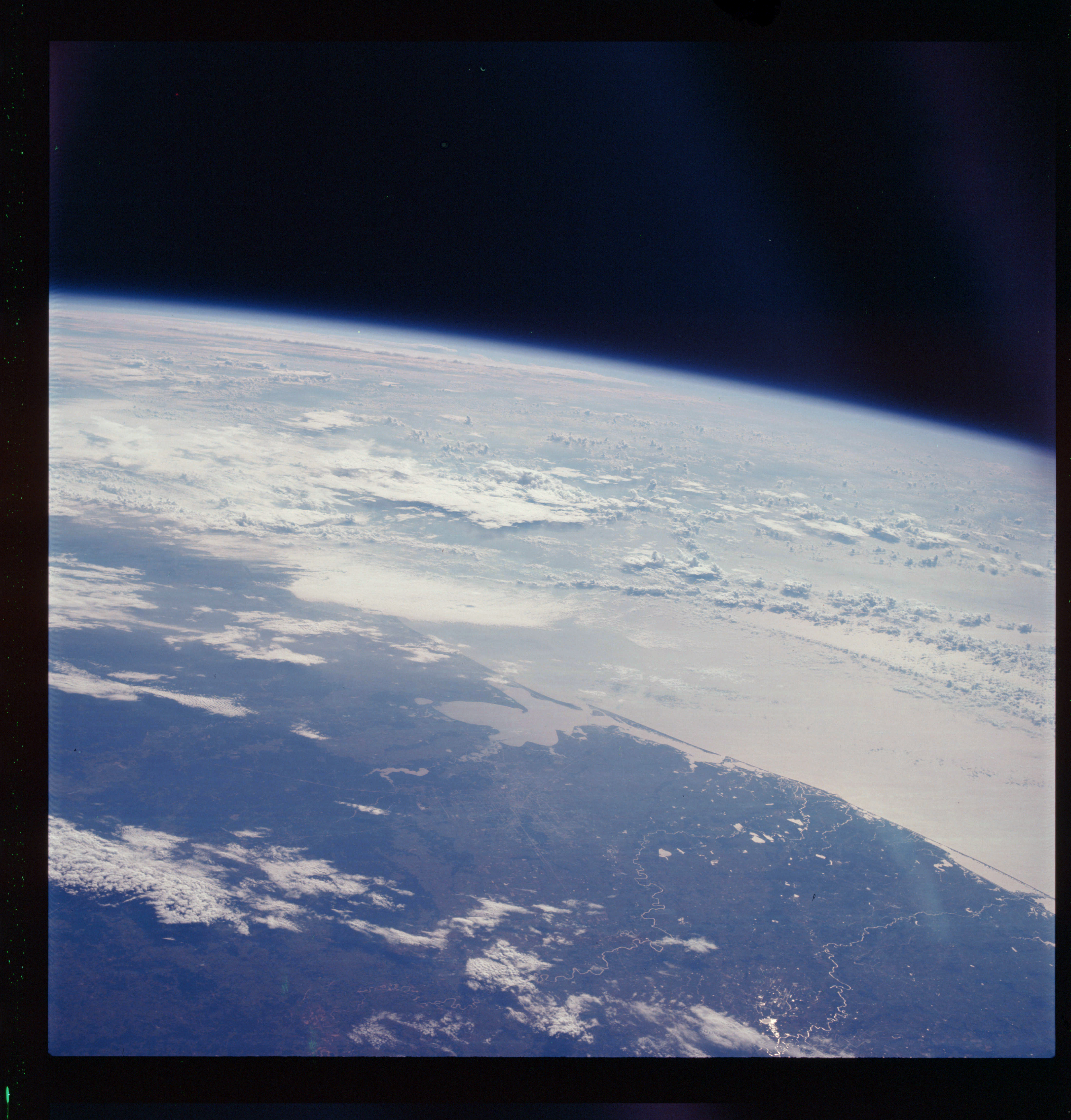 | AS07-07-1870 GEOGRAPHY/CARTOGRAPHY: Texas: Houston Area, Galveston Bay, Lake Houston, Brazos River, Colorado River, regional and local Houston highway network. (Dark) GEOLOGY/HYDROLOGY: Flat lowland and coastal plain. METEOROLOGY: Cumulus, alto-cumulus. FORESTRY: Scattered forest lands in predominantly prairie grassland. Image credit: Image Science and Analysis Laboratory, NASA-Johnson Space Center. |
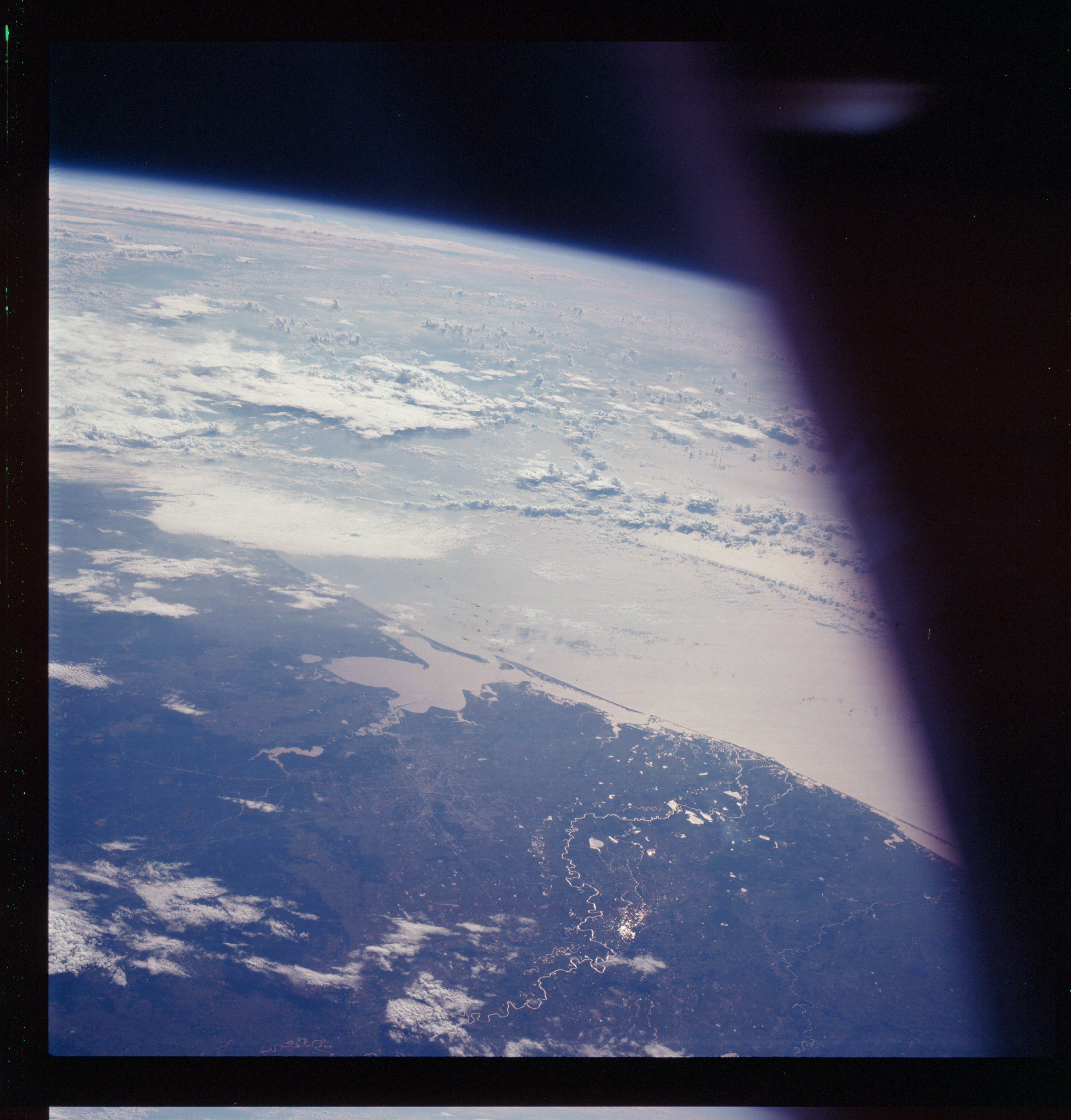 | AS07-07-1871 GEOGRAPHY/CARTOGRAPHY: Texas: Houston Area, Galveston Bay, Lake Houston, Brazos River, highway network. (Dark) GEOLOGY/HYDROLOGY: Flat lowland and coastal plain. METEOROLOGY: Towering cumulus, alto-cumulus. FORESTRY: Scattered forest lands in predominantly prairie grassland. Image credit: Image Science and Analysis Laboratory, NASA-Johnson Space Center. |
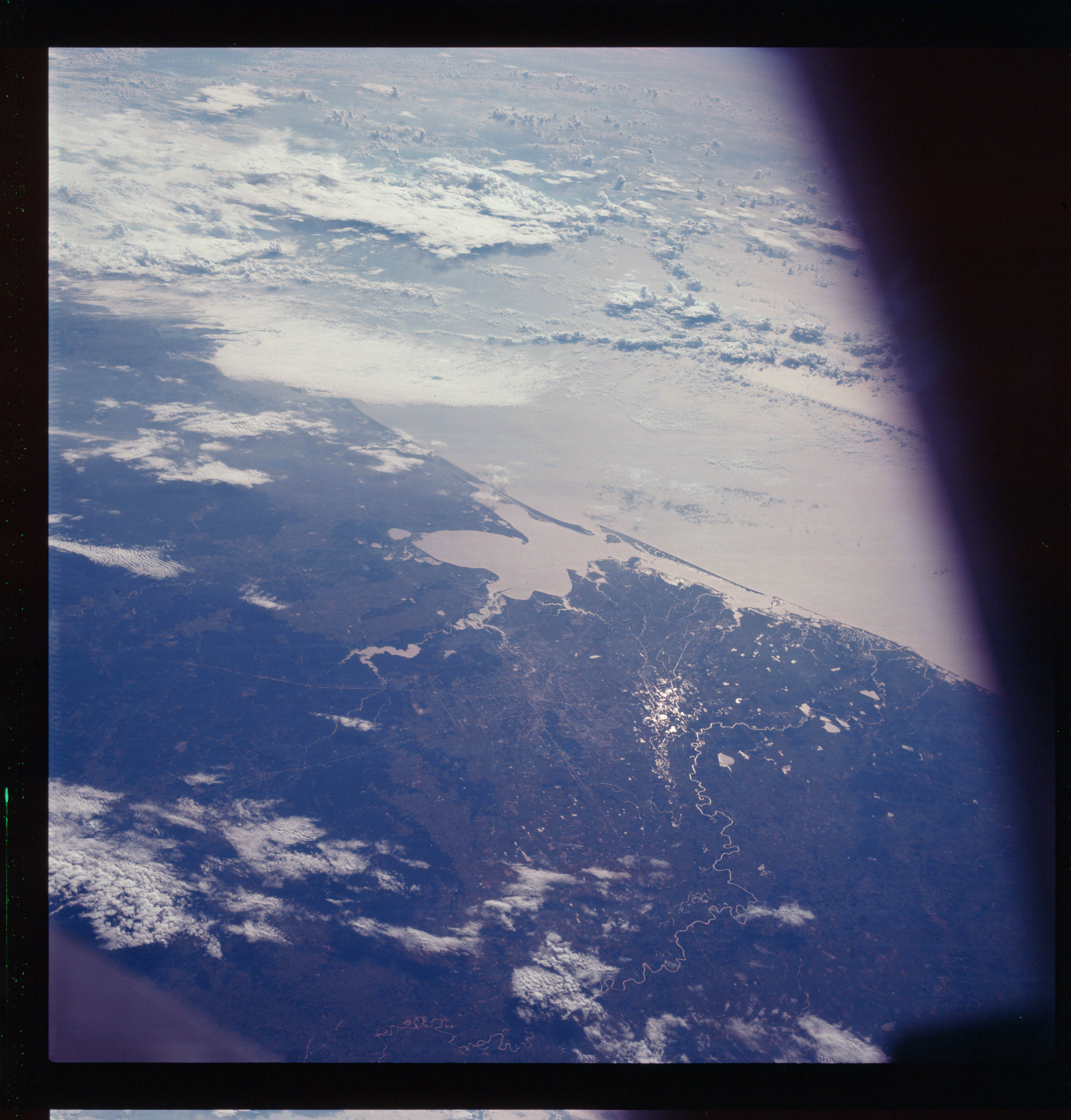 | AS07-07-1872 GEOGRAPHY/CARTOGRAPHY: Texas: Houston Area, Galveston, Lake Houston, Brazos River, local and regional highway network. (Dark) GEOLOGY/HYDROLOGY: Flat lowland and coastal plain. METEOROLOGY: Towering cumulus, alto-cumulus. FORESTRY: Scattered forest lands in predominantly prairie grassland. Image credit: Image Science and Analysis Laboratory, NASA-Johnson Space Center. |
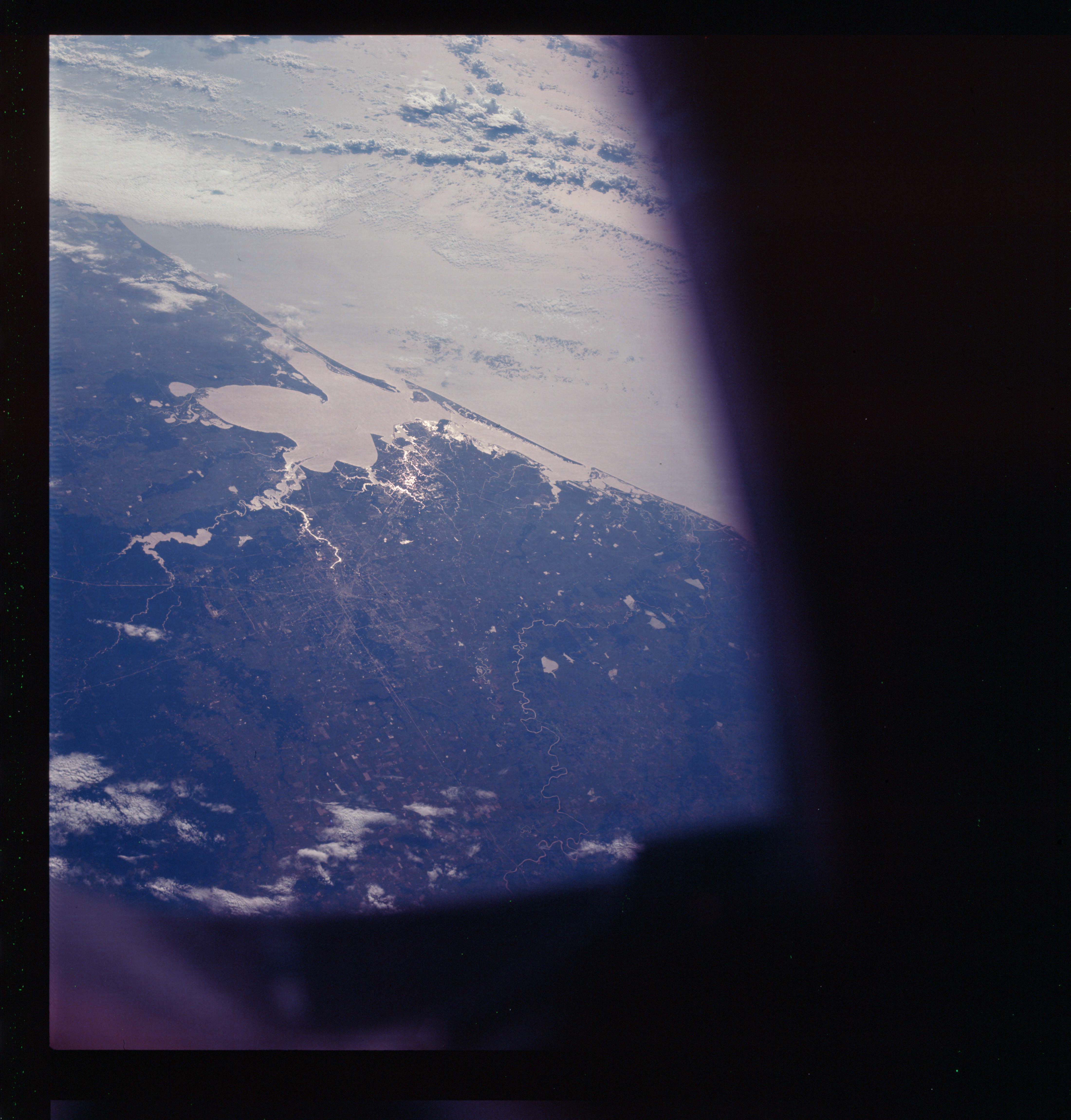 | AS07-07-1873 GEOGRAPHY/CARTOGRAPHY: Texas: Houston Area, Galveston Bay, Lake Houston, Brazos River, local and regional transportation network. (Dark) GEOLOGY/HYDROLOGY: Flat lowland and coastal plain. METEOROLOGY: Towering cumulus, alto-cumulus. FORESTRY: Scattered forest lands in predominantly prairies area. Image credit: Image Science and Analysis Laboratory, NASA-Johnson Space Center. |
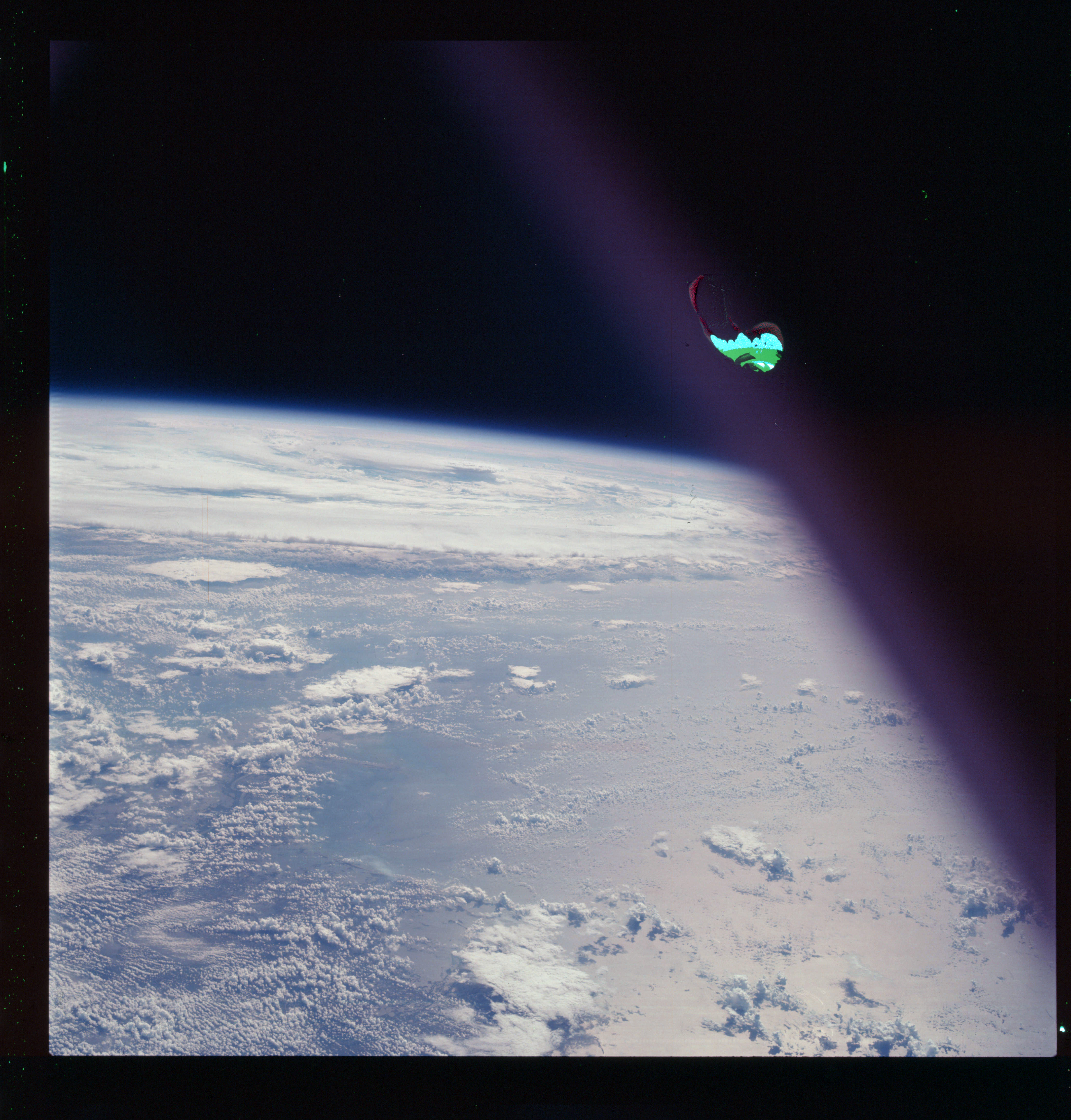 | AS07-07-1874 GEOGRAPHY/CARTOGRAPHY: Gulf of Mexico. (Light) METEOROLOGY: Hurricane Gladys. Image credit: Image Science and Analysis Laboratory, NASA-Johnson Space Center. |
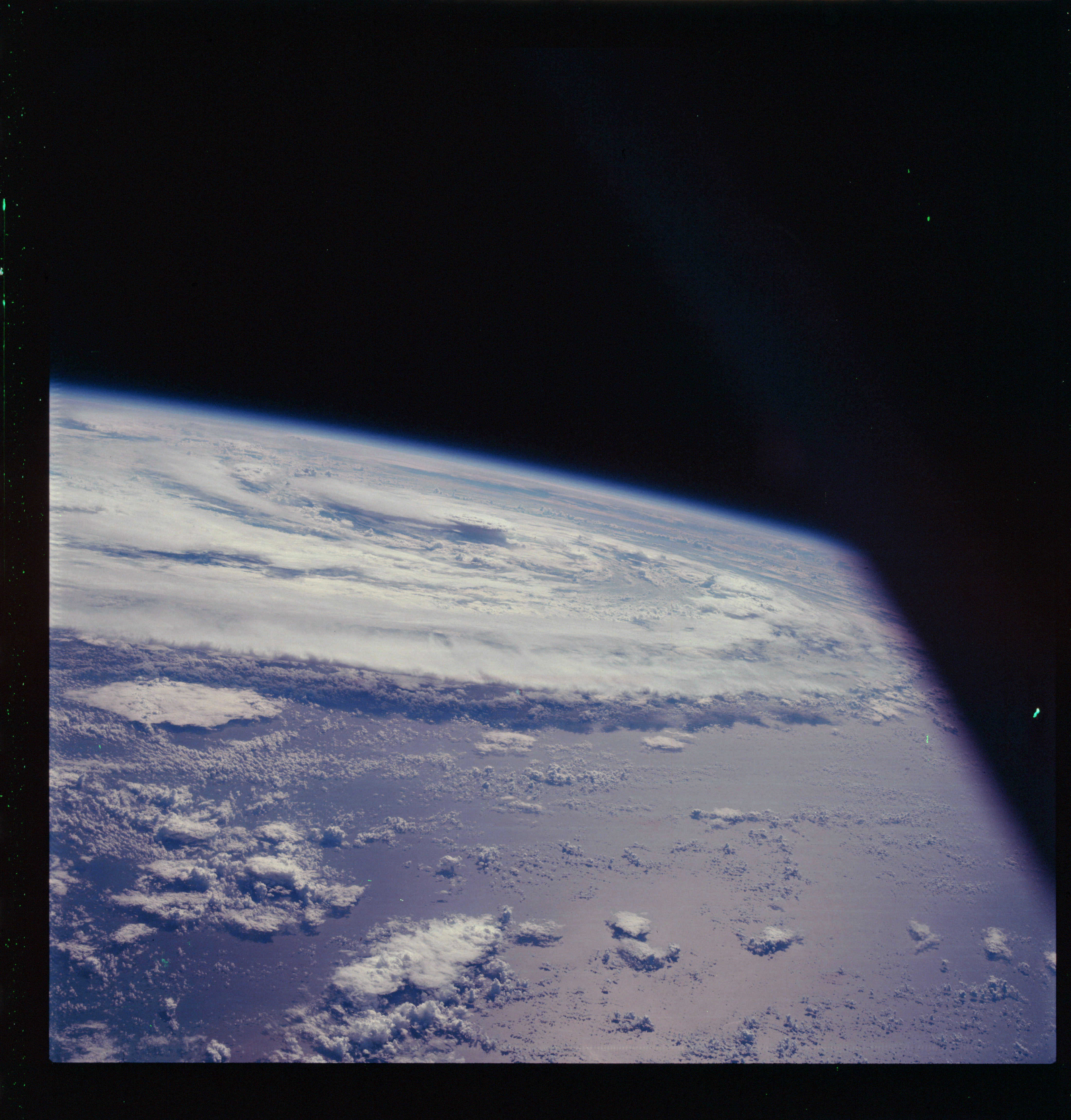 | AS07-07-1875 GEOGRAPHY/CARTOGRAPHY: Gulf of Mexico. (Dark) METEOROLOGY: Hurricane Gladys. Image credit: Image Science and Analysis Laboratory, NASA-Johnson Space Center. |
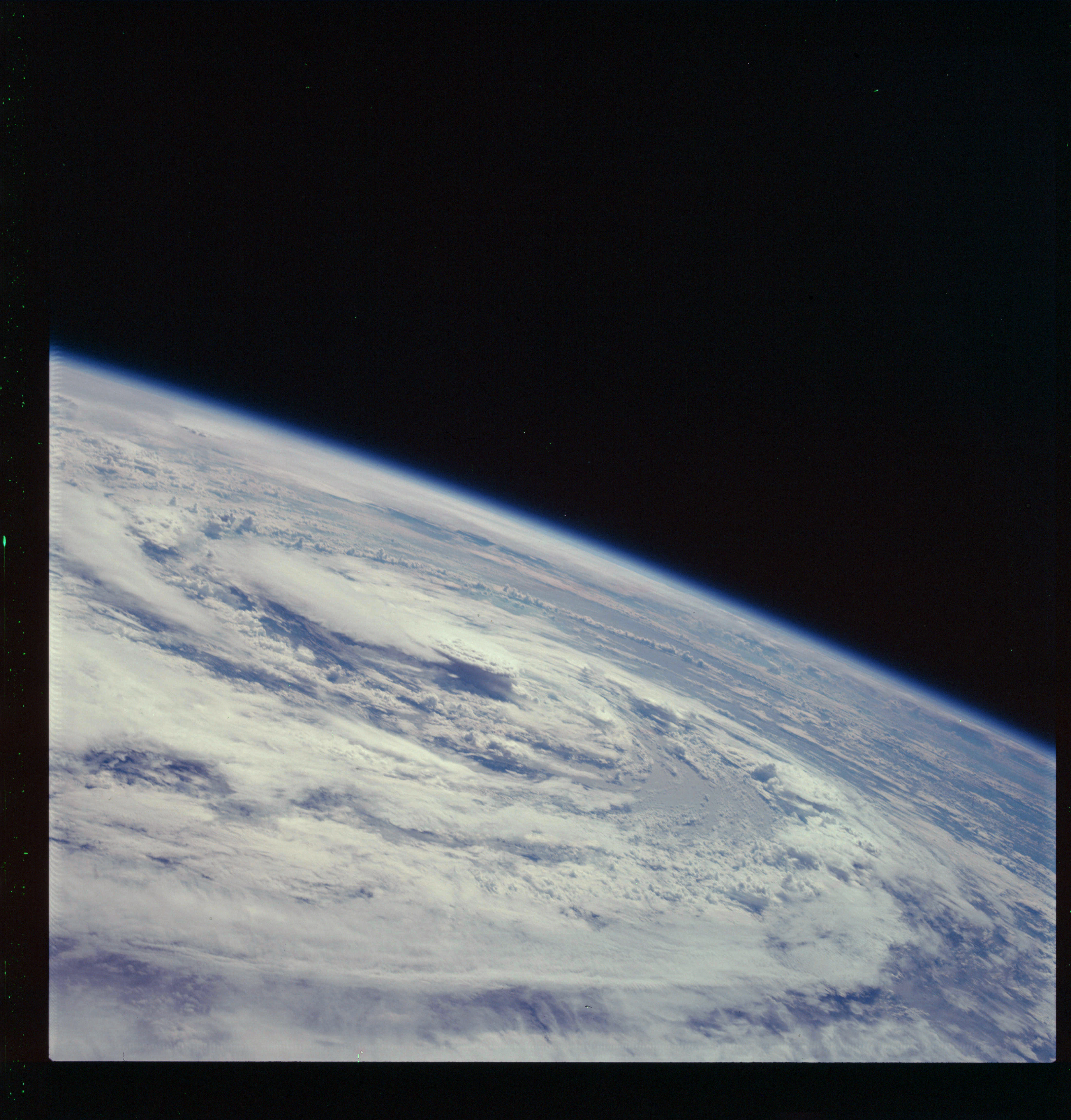 | AS07-07-1876 GEOGRAPHY/CARTOGRAPHY: Gulf of Mexico. (Dark) METEOROLOGY: Hurricane Gladys. Image credit: Image Science and Analysis Laboratory, NASA-Johnson Space Center. |
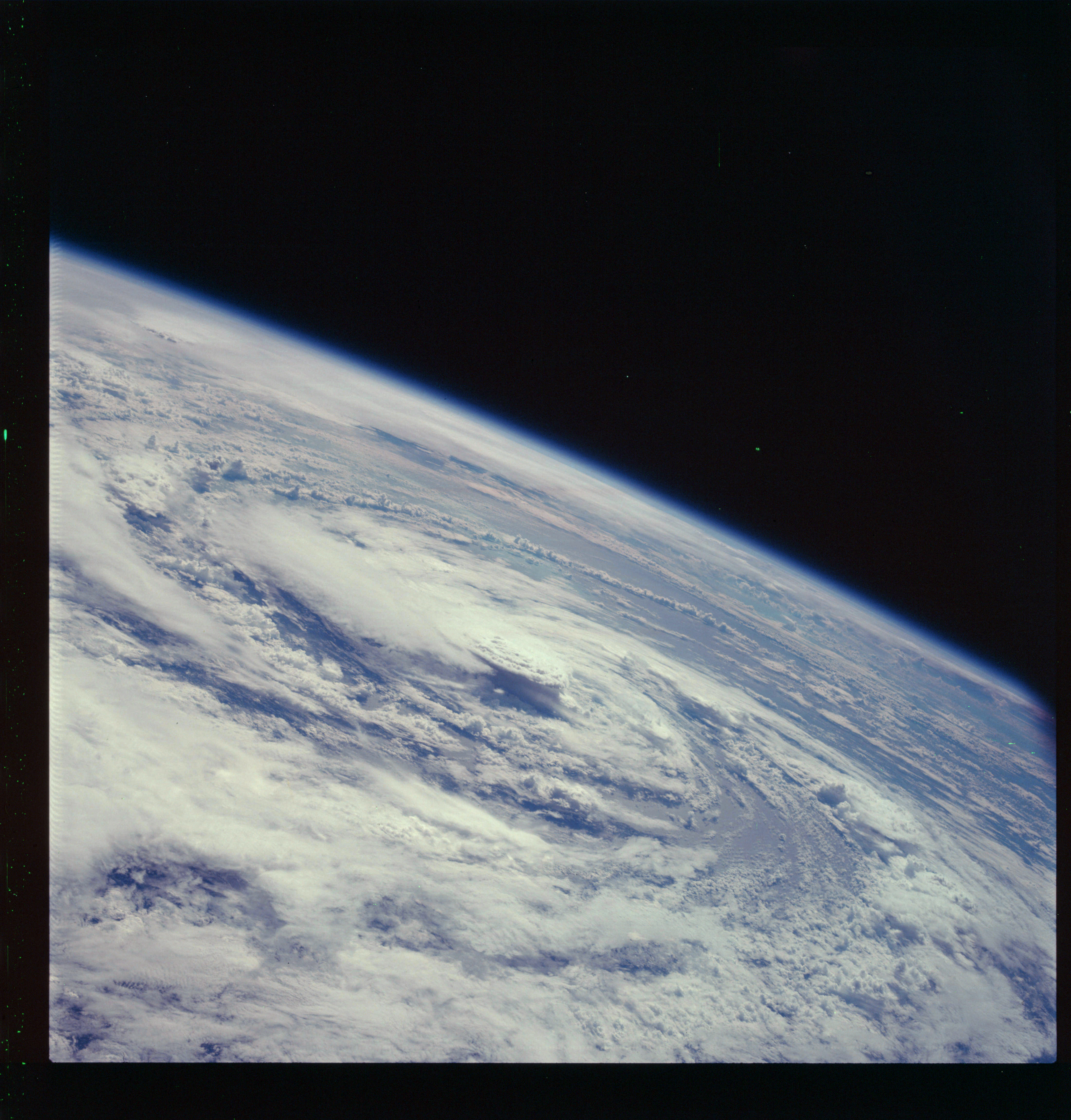 | AS07-07-1877 GEOGRAPHY/CARTOGRAPHY: Gulf of Mexico. (Dark) METEOROLOGY: Hurricane Gladys. Image credit: Image Science and Analysis Laboratory, NASA-Johnson Space Center. |
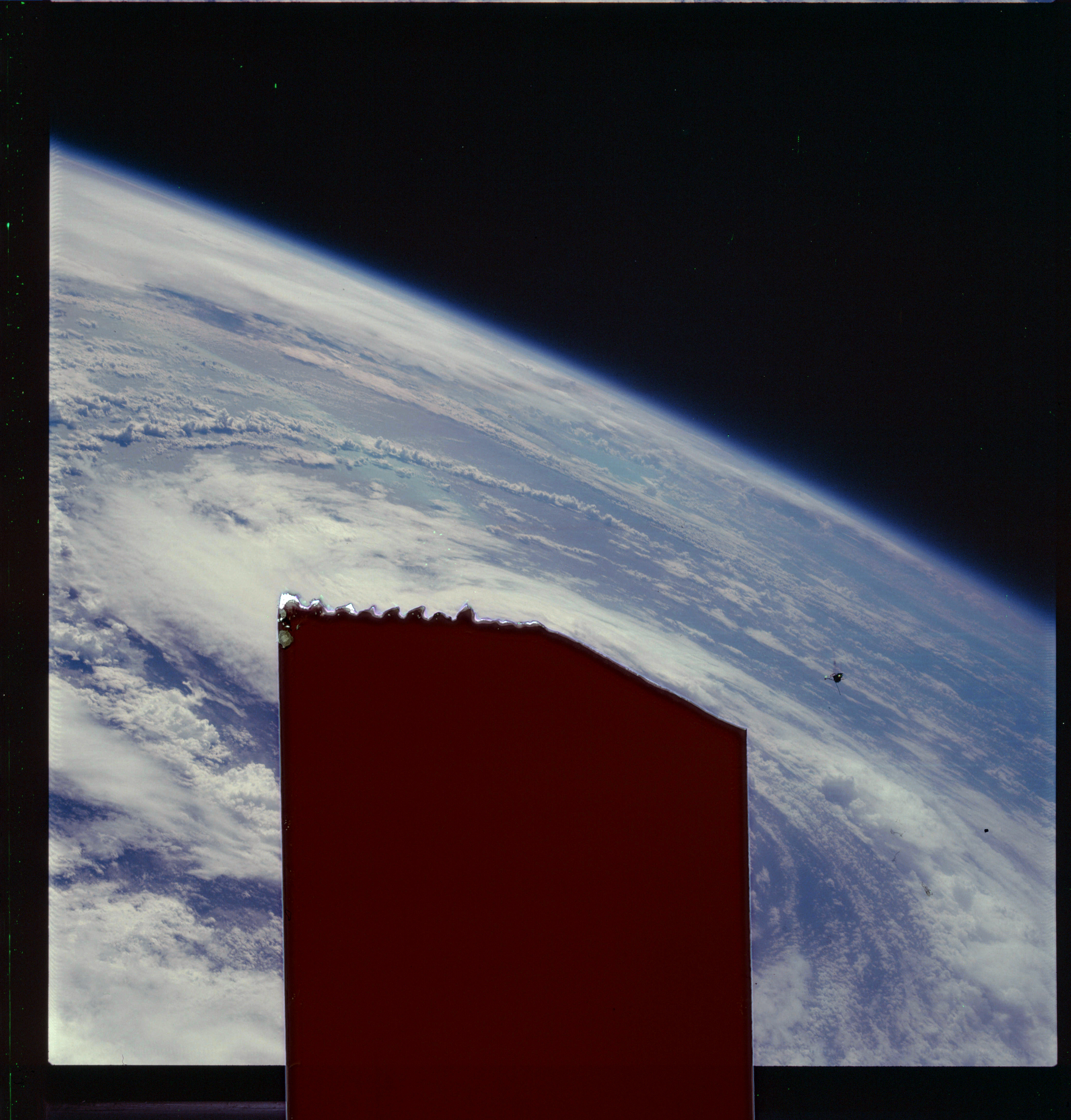 | AS07-07-1878 GEOGRAPHY/CARTOGRAPHY: Gulf of Mexico. (Dark) METEOROLOGY: Hurricane Gladys. Partly obscured by adhesive tape. Image credit: Image Science and Analysis Laboratory, NASA-Johnson Space Center. |
|
|
|
| 70-mm magazine O - AS07-06-1672 to 1737 |
Photography Index | 70-mm magazine R - AS07-08-1880 to 1943 |