
 |
 |
 |
| 70-mm magazine Q - AS07-05-1613 to 1671 |
Photography Index | 70-mm magazine S - AS07-07-1738 to 1878 |
No copyright is asserted for NASA photographs. If a recognizable person appears in a photo, use for commercial purposes may infringe a right of privacy or publicity. Photos may not be used to state or imply the endorsement by NASA or by any NASA employee of a commercial product, process or service, or used in any other manner that might mislead. Accordingly, it is requested that if a NASA photograph is used in advertising and other commercial promotion, layout and copy be submitted to NASA prior to release. NASA photos reproduced from this archive should include photo credit to "NASA" or "National Aeronautics and Space Administration" and should include scanning credit to the appropriate individuals or agencies as noted in the captions.
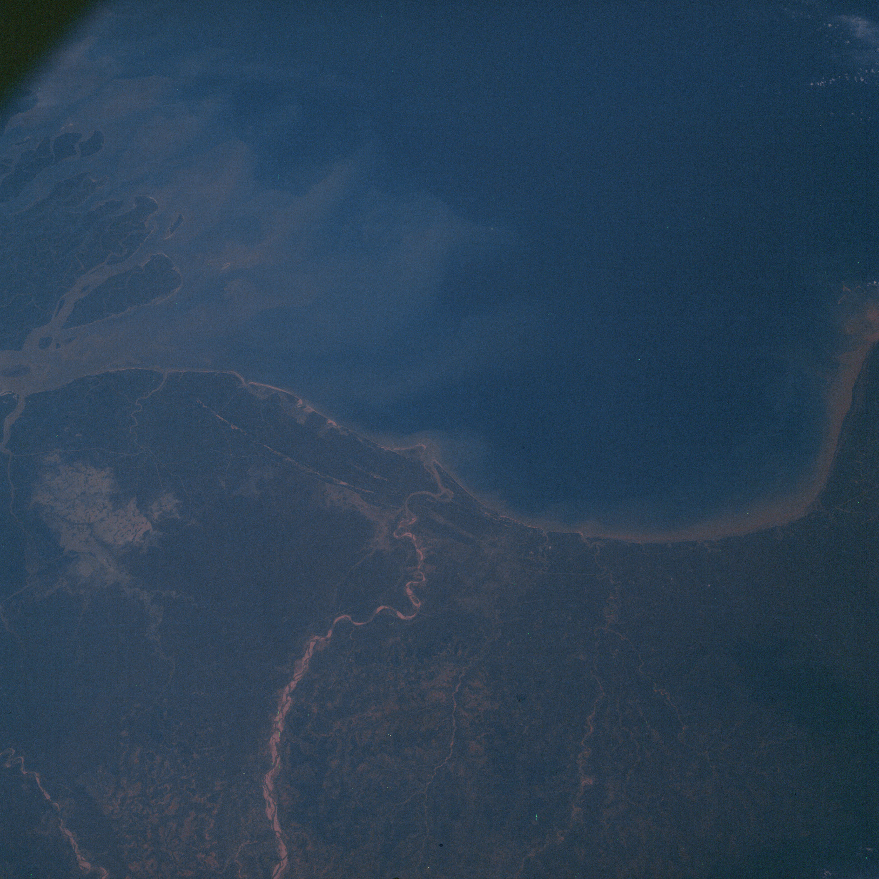 | AS07-06-1672 GEOGRAPHY/CARTOGRAPHY: India, mouth of Hooghly River, Bay of Bengal. (Dark} Image credit: Image Science and Analysis Laboratory, NASA-Johnson Space Center. |
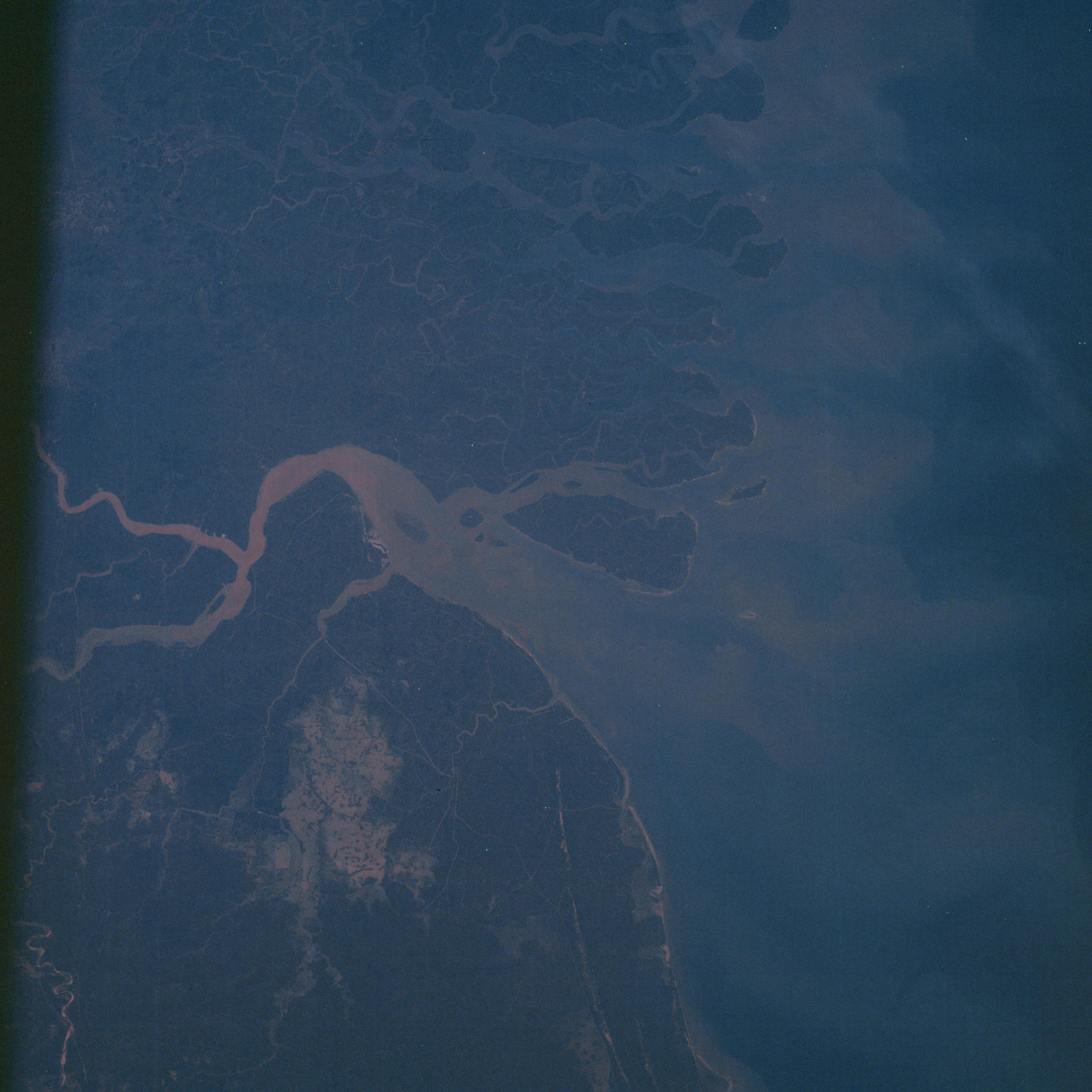 | AS07-06-1673 GEOGRAPHY/CARTOGRAPHY: India, mouth of Hooghly River, Bay of Bengal. (Dark) Image credit: Image Science and Analysis Laboratory, NASA-Johnson Space Center. |
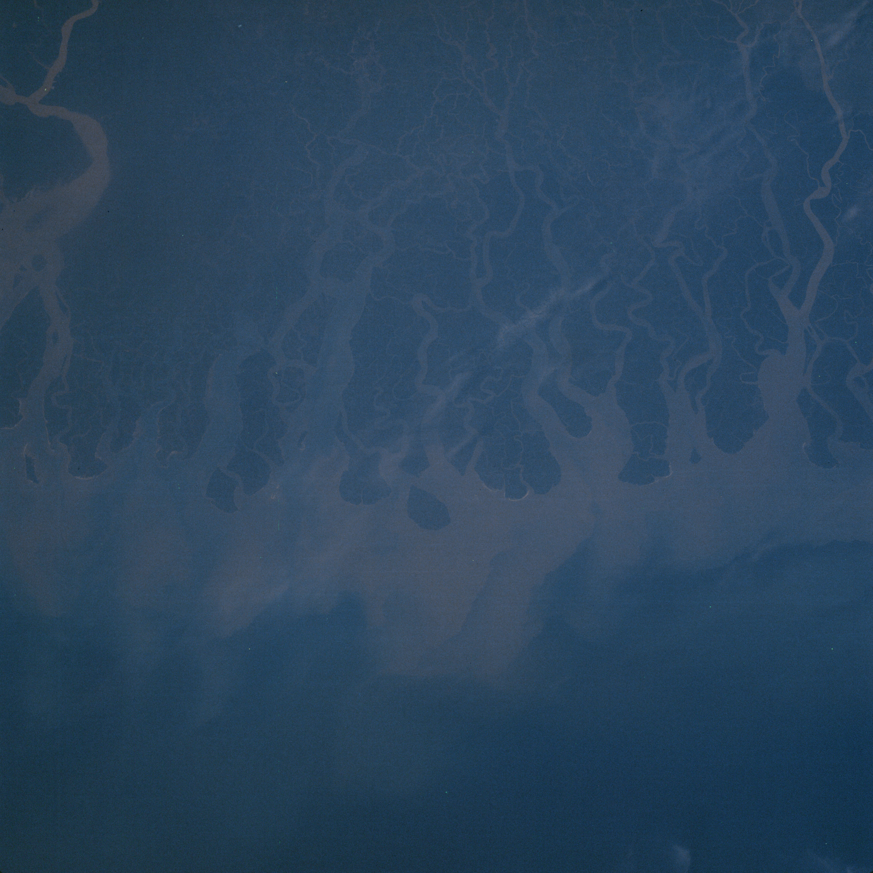 | AS07-06-1674 GEOGRAPHY/CARTOGRAPHY: India, Pakistan, mouth of Haringata River, Bay of Bengal. (Dark) Image credit: Image Science and Analysis Laboratory, NASA-Johnson Space Center. |
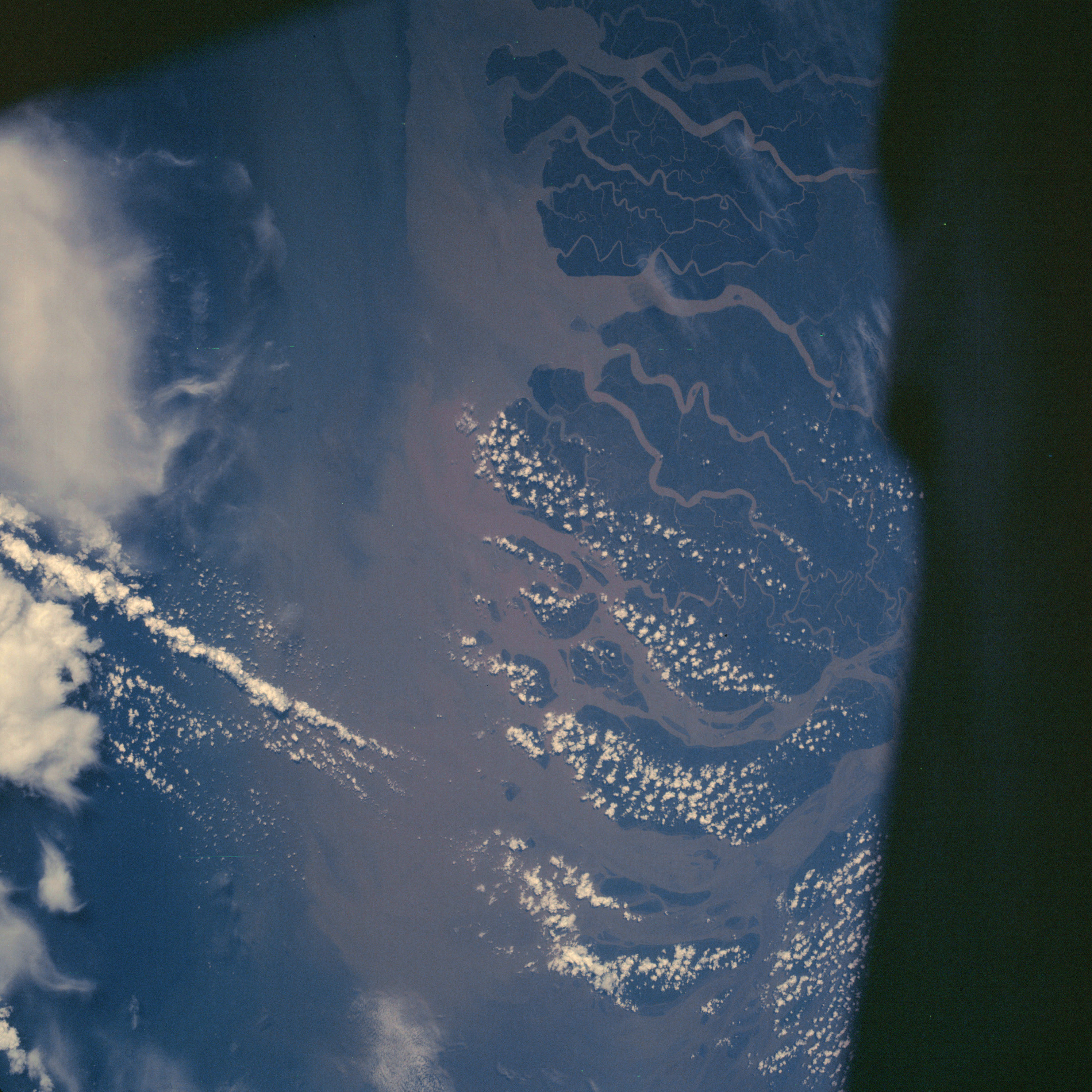 | AS07-06-1675 GEOGRAPHY/CARTOGRAPHY: Burma, Pakistan, mouth of Ganges River, Bay of Bengal. (Dark) METEOROLOGY: Cumulus, cirrus. Image credit: Image Science and Analysis Laboratory, NASA-Johnson Space Center. |
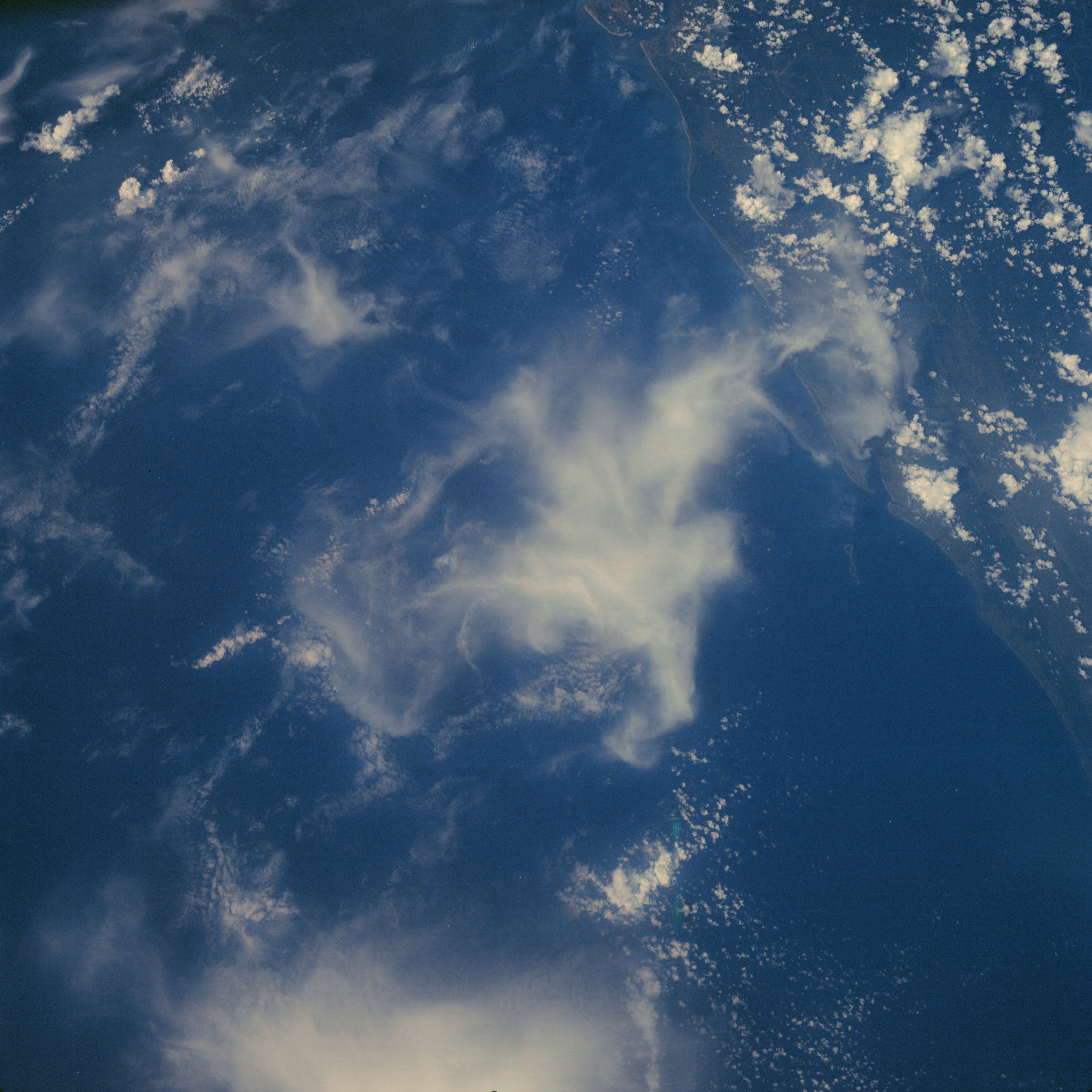 | AS07-06-1676 GEOGRAPHY/CARTOGRAPHY: Burma, Pakistan, Cox’s Bazar. (Dark) METEOROLOGY: Cumulus, cirrus. Image credit: Image Science and Analysis Laboratory, NASA-Johnson Space Center. |
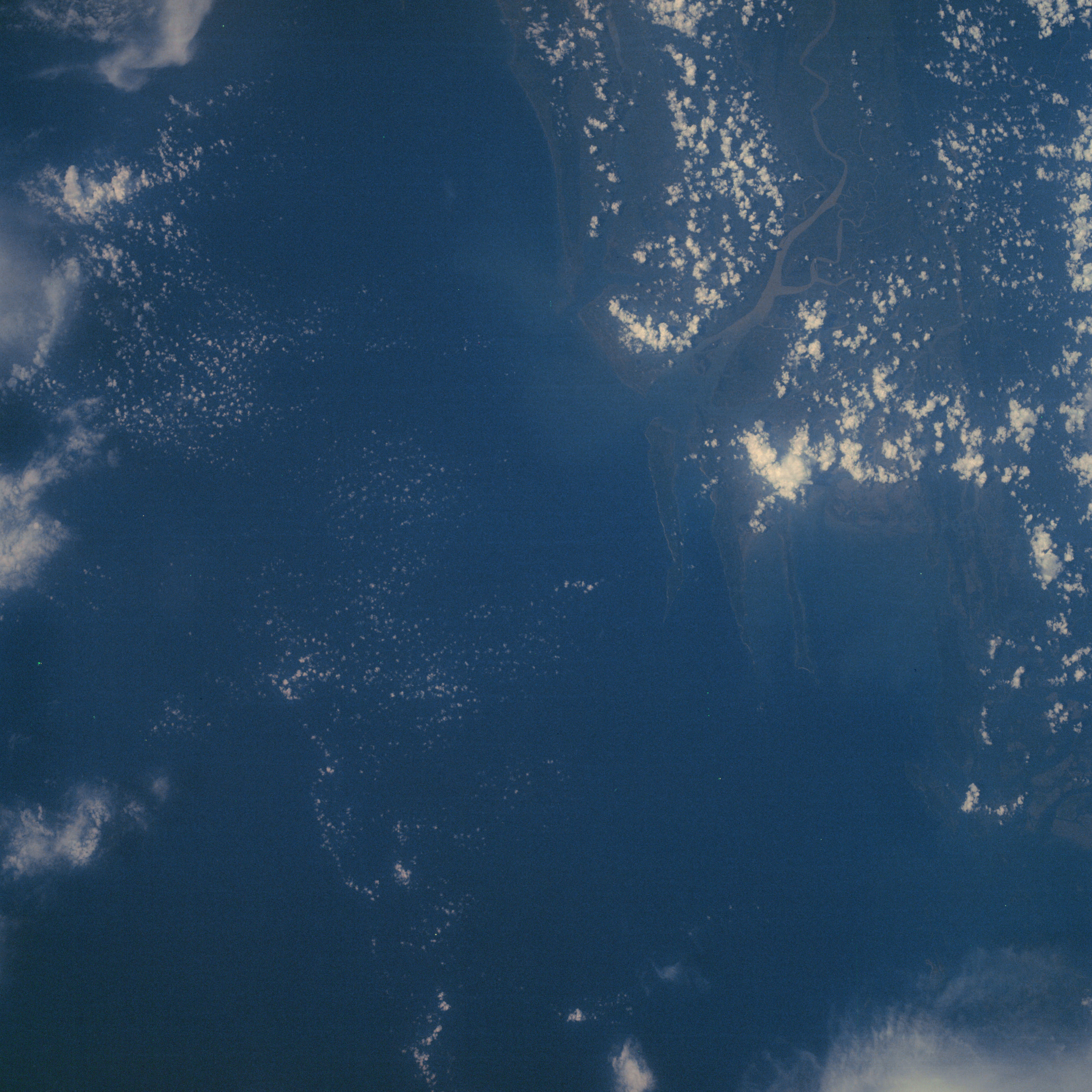 | AS07-06-1677 GEOGRAPHY/CARTOGRAPHY: Burma, Bay of Bengal, coast of Akyab (Dark) METEOROLOGY: Cumulus. Image credit: Image Science and Analysis Laboratory, NASA-Johnson Space Center. |
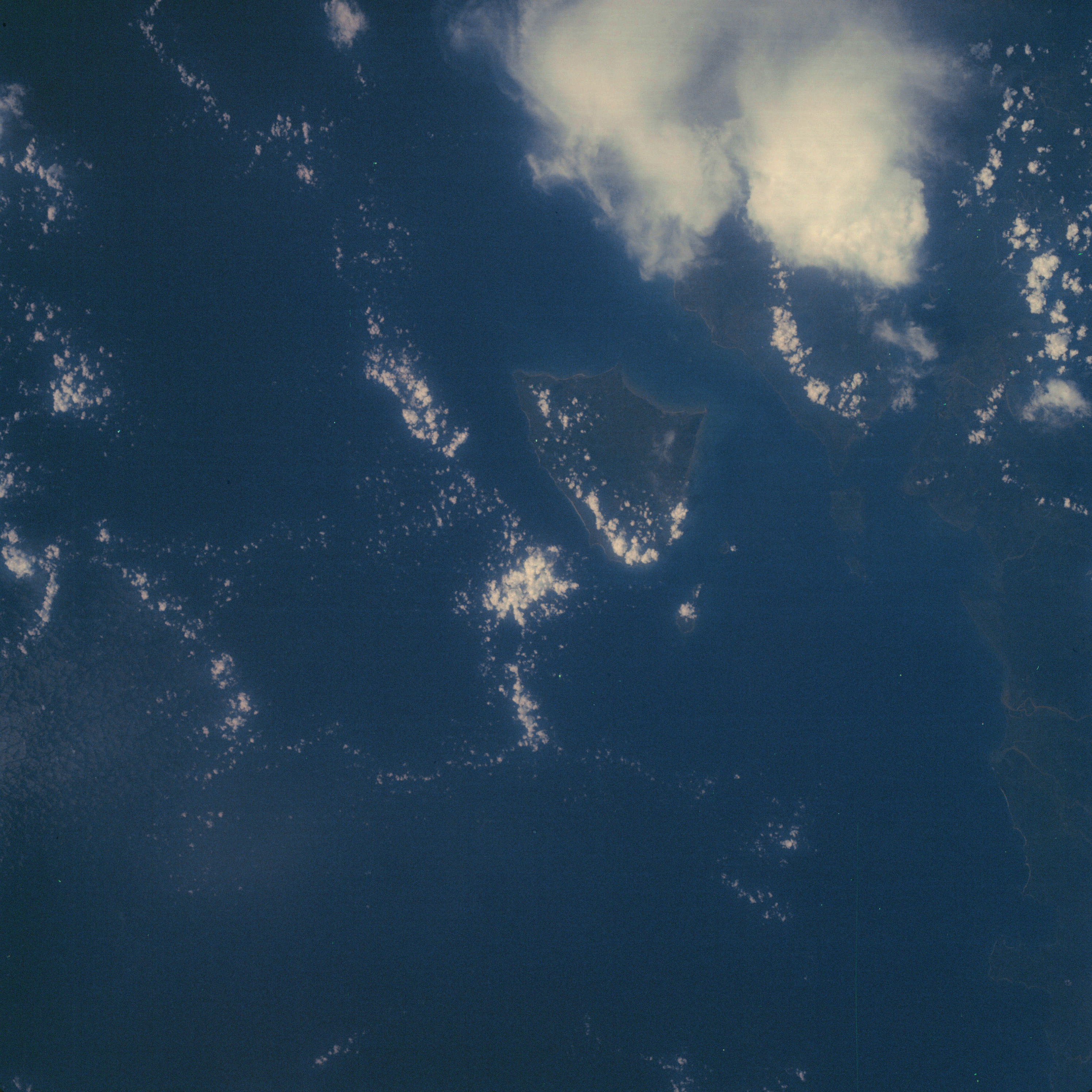 | AS07-06-1678 GEOGRAPHY/CARTOGRAPHY: Burma, Bay of Bengal, Cheduba Island. (Dark) METEOROLOGY: Cumulus, cirrus. Image credit: Image Science and Analysis Laboratory, NASA-Johnson Space Center. |
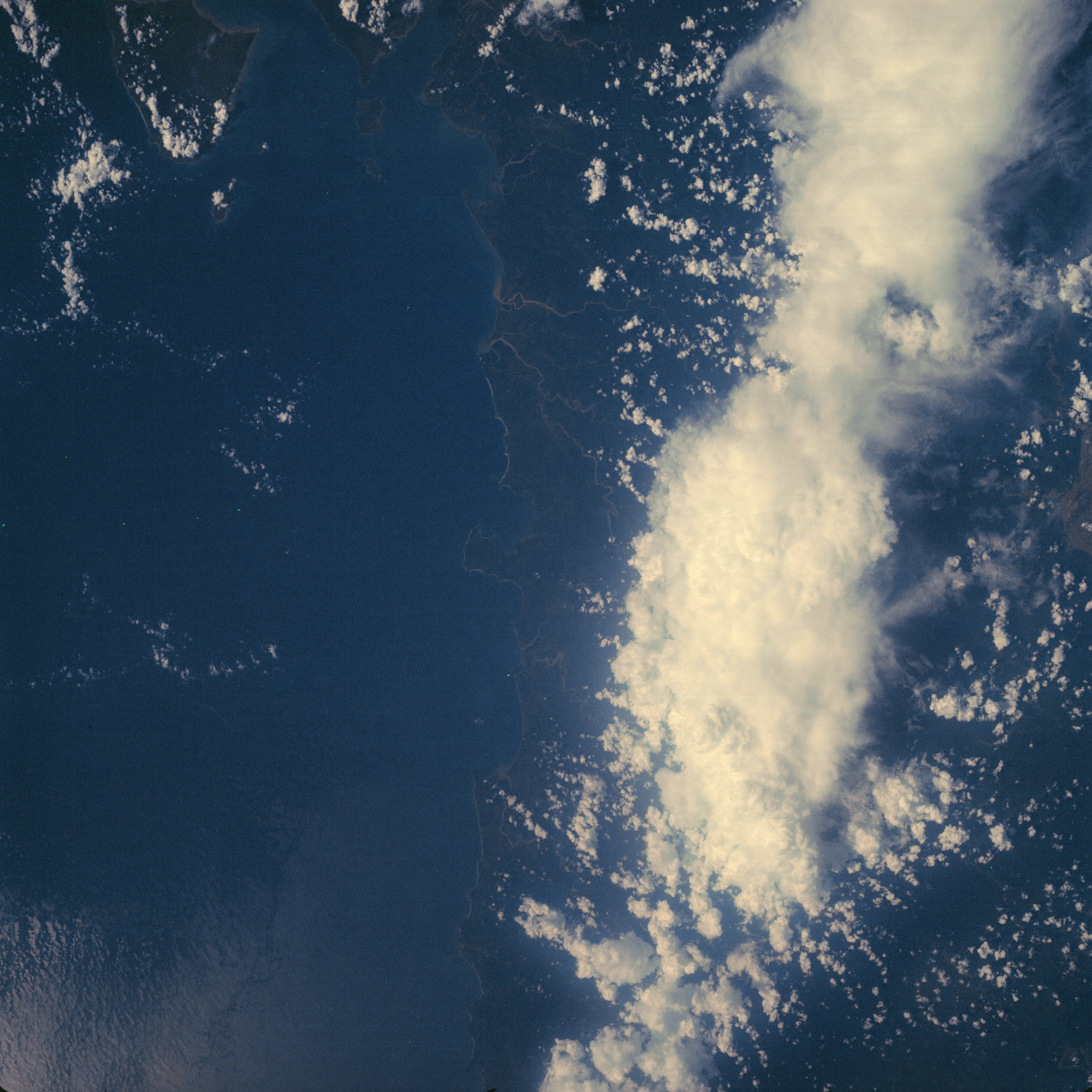 | AS07-06-1679 GEOGRAPHY/CARTOGRAPHY: Burma, Bay of Bengal, Cheduba Island, Andren Bay. (Dark) METEOROLOGY: Cumulus, towering cumulus, cirrus. Image credit: Image Science and Analysis Laboratory, NASA-Johnson Space Center. |
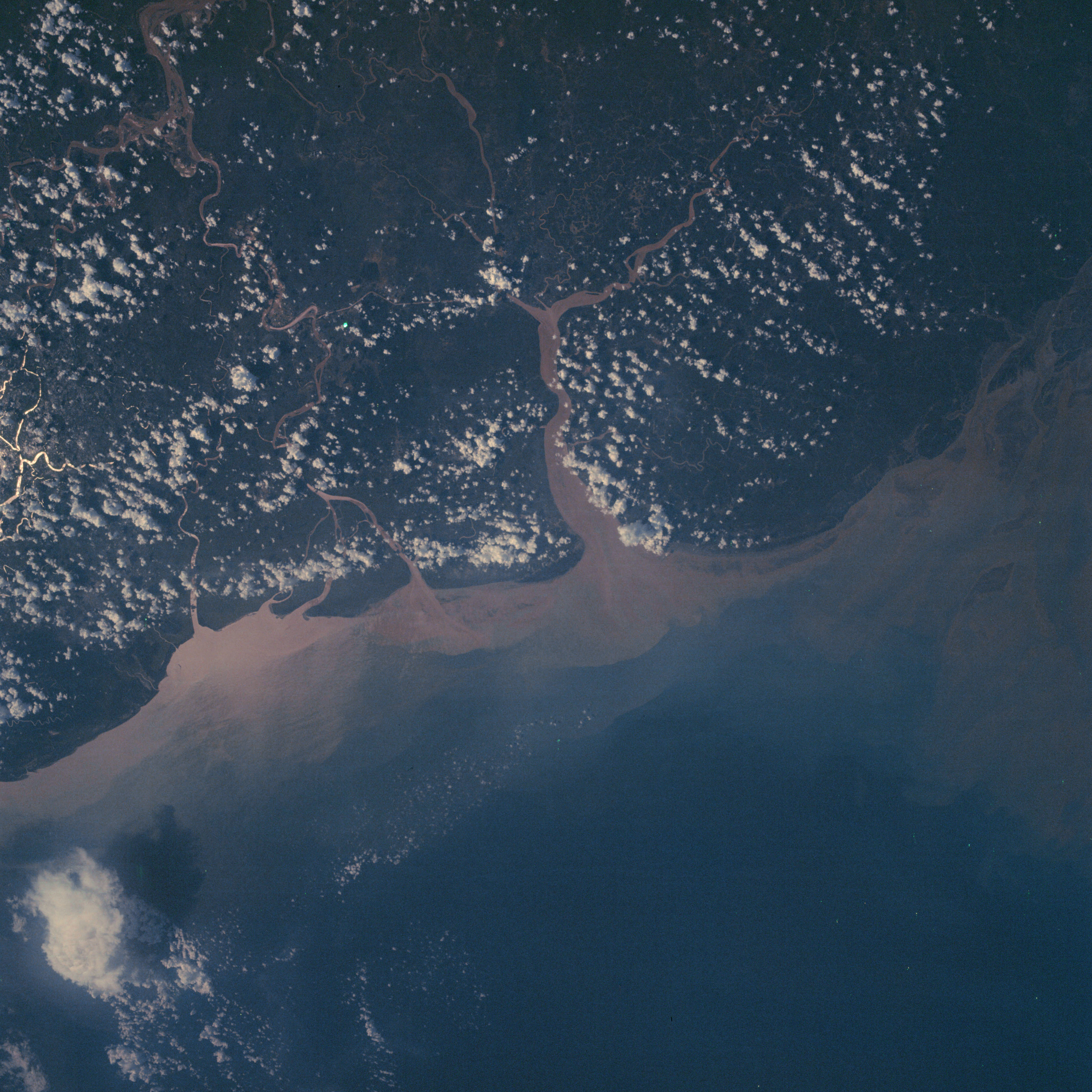 | AS07-06-1680 GEOGRAPHY/CARTOGRAPHY: Burma, Rangoon, Hlaing River. (Dark) METEOROLOGY: Cumulus OCEANOGRAPHY: Sediment pattern from river mouth. Image credit: Image Science and Analysis Laboratory, NASA-Johnson Space Center. |
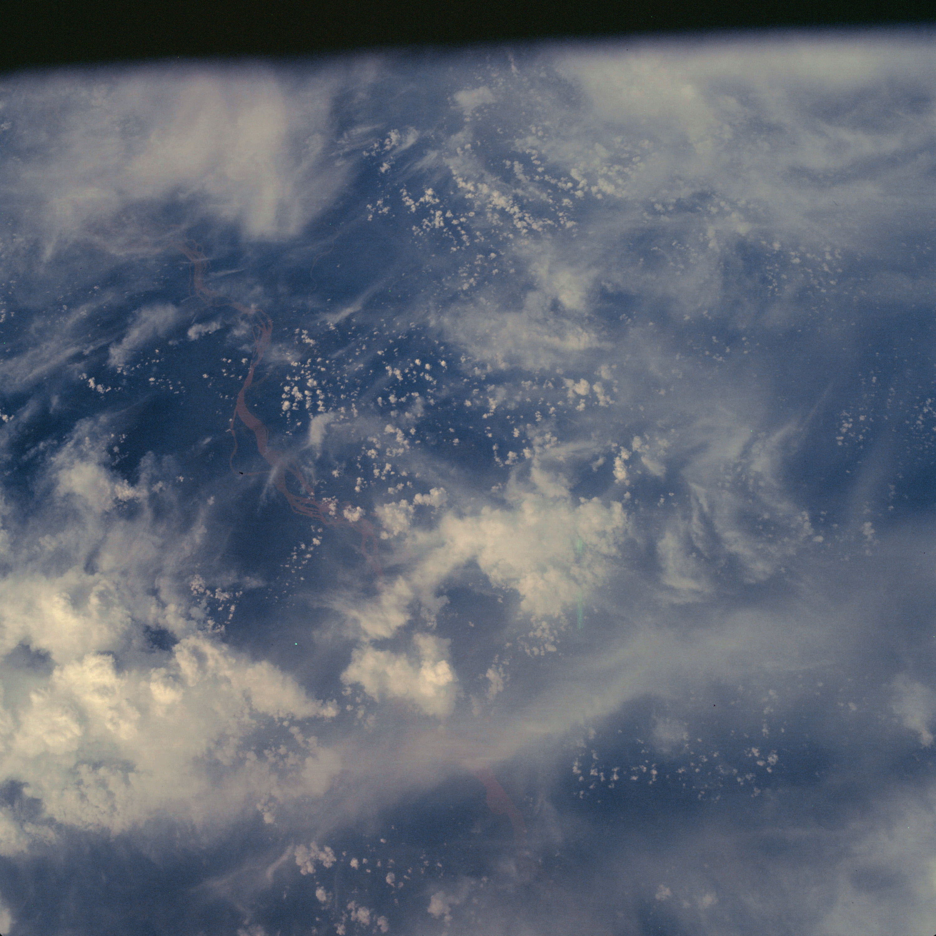 | AS07-06-1681 GEOGRAPHY/CARTOGRAPHY: Cambodia, Mekong River near Stung Treng. (Dark) METEOROLOGY: Cumulus, towering cumulus, cirrus. Image credit: Image Science and Analysis Laboratory, NASA-Johnson Space Center. |
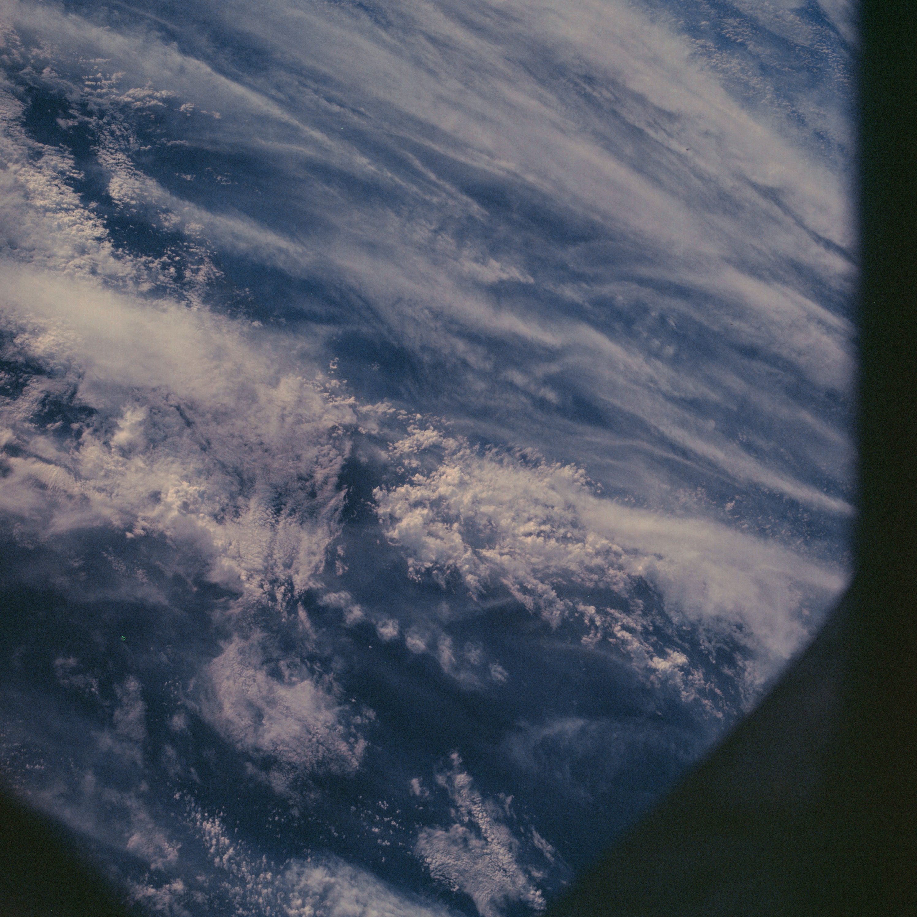 | AS07-06-1682 METEOROLOGY: Cumulus, strato-cumulus, cirrus. (Dark) Image credit: Image Science and Analysis Laboratory, NASA-Johnson Space Center. |
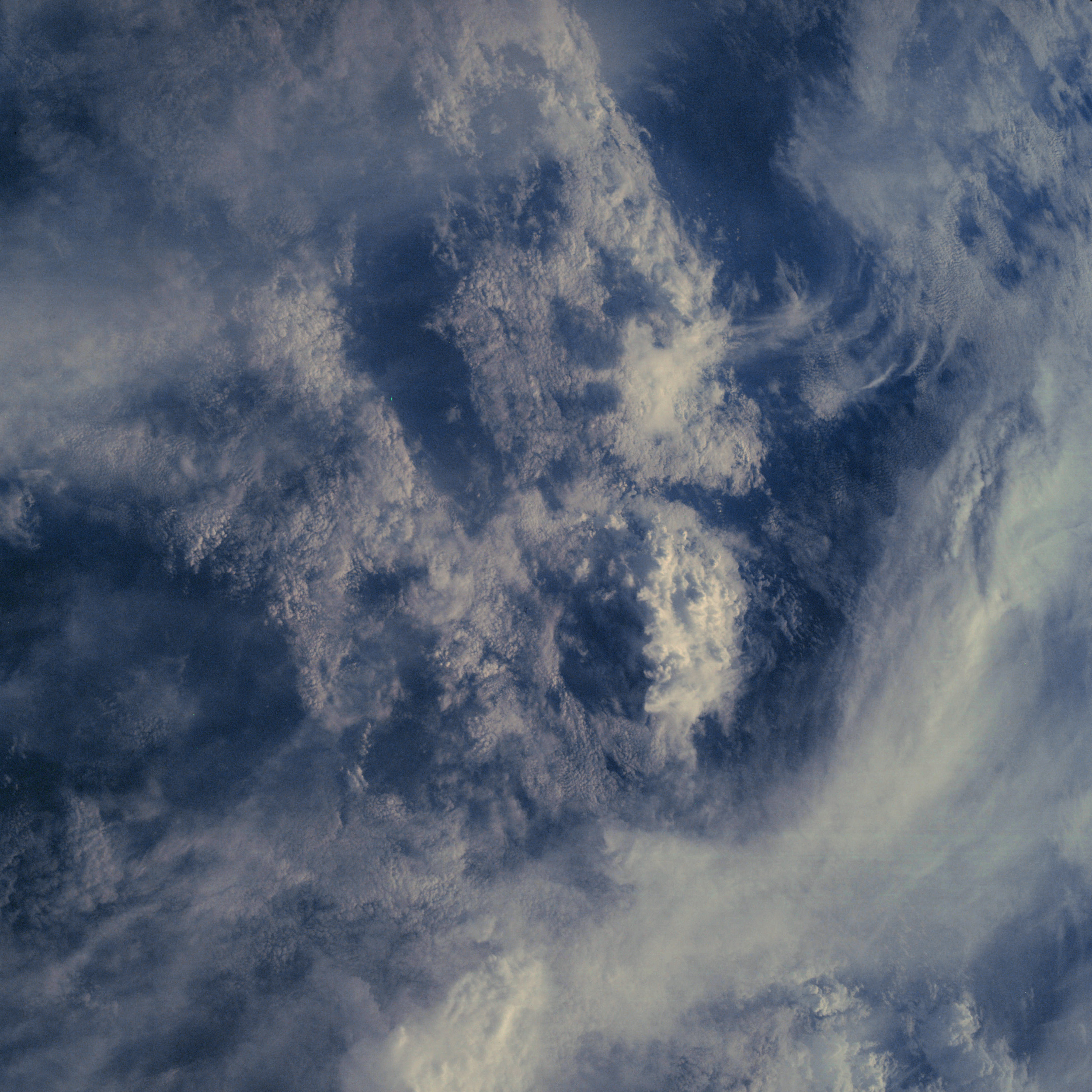 | AS07-06-1683 METEOROLOGY: Towering cumulus, cirrus. (Dark) Image credit: Image Science and Analysis Laboratory, NASA-Johnson Space Center. |
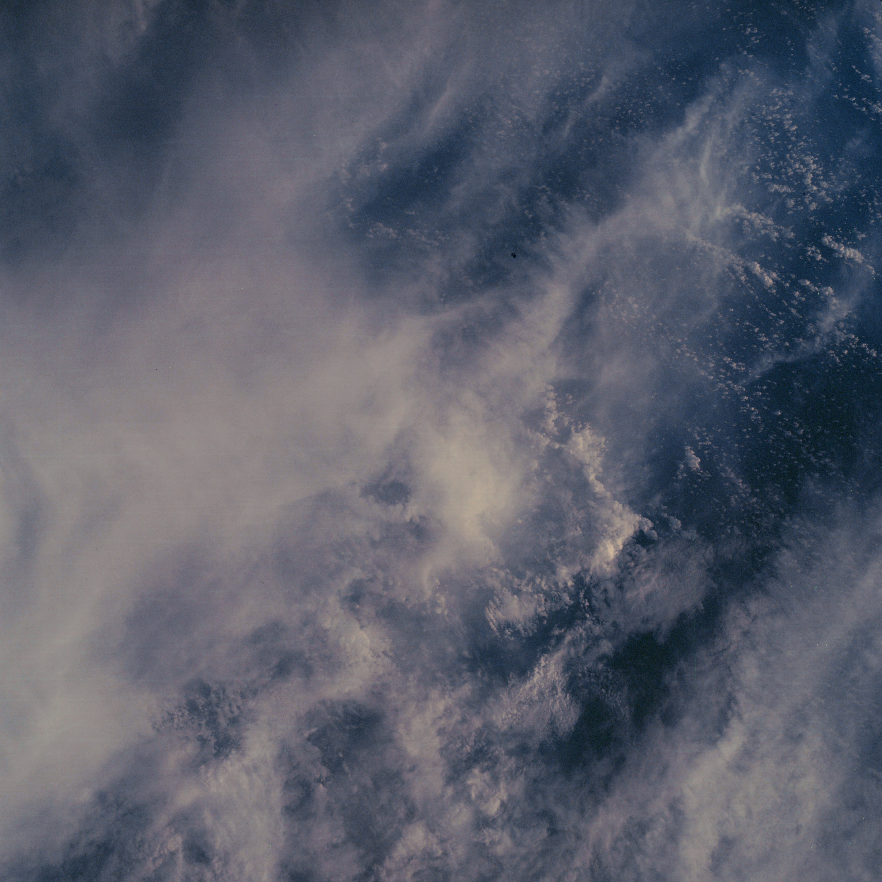 | AS07-06-1684 METEOROLOGY: Cumulus, cirrus. (Dark) Image credit: Image Science and Analysis Laboratory, NASA-Johnson Space Center. |
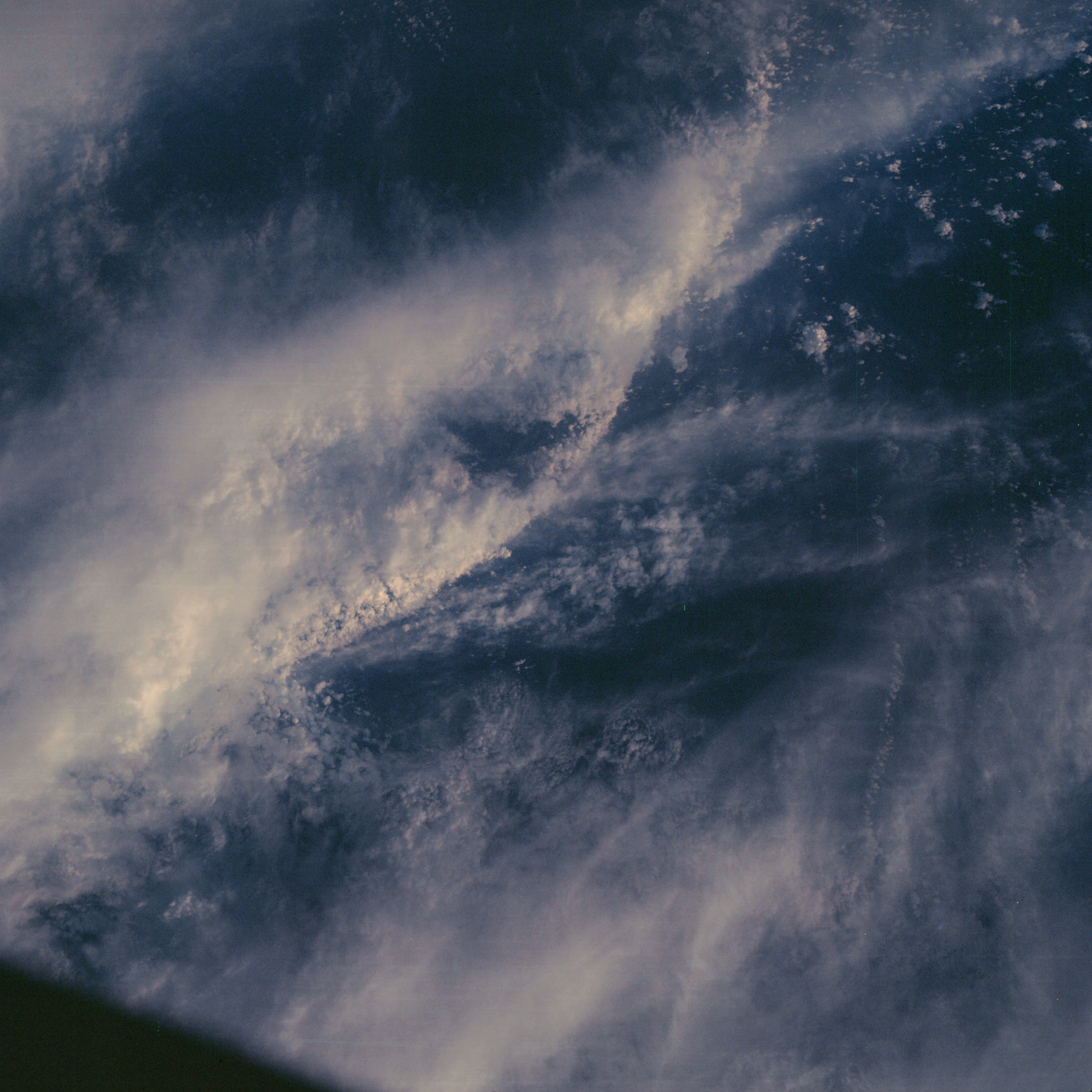 | AS07-06-1685 METEOROLOGY: Cumulus, cirrus. (Dark) Image credit: Image Science and Analysis Laboratory, NASA-Johnson Space Center. |
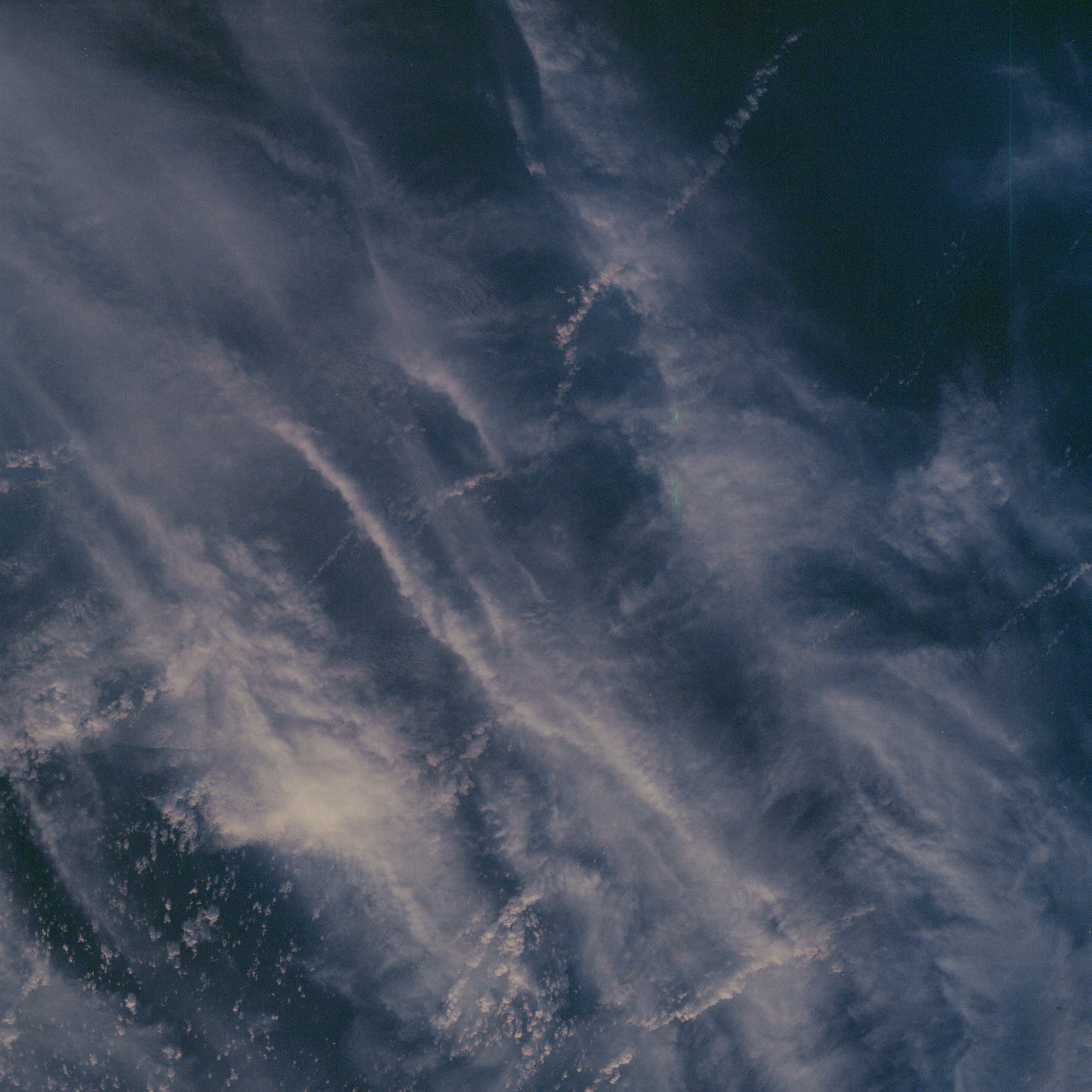 | AS07-06-1686 METEOROLOGY: Cumulus, cirrus. (Dark) Image credit: Image Science and Analysis Laboratory, NASA-Johnson Space Center. |
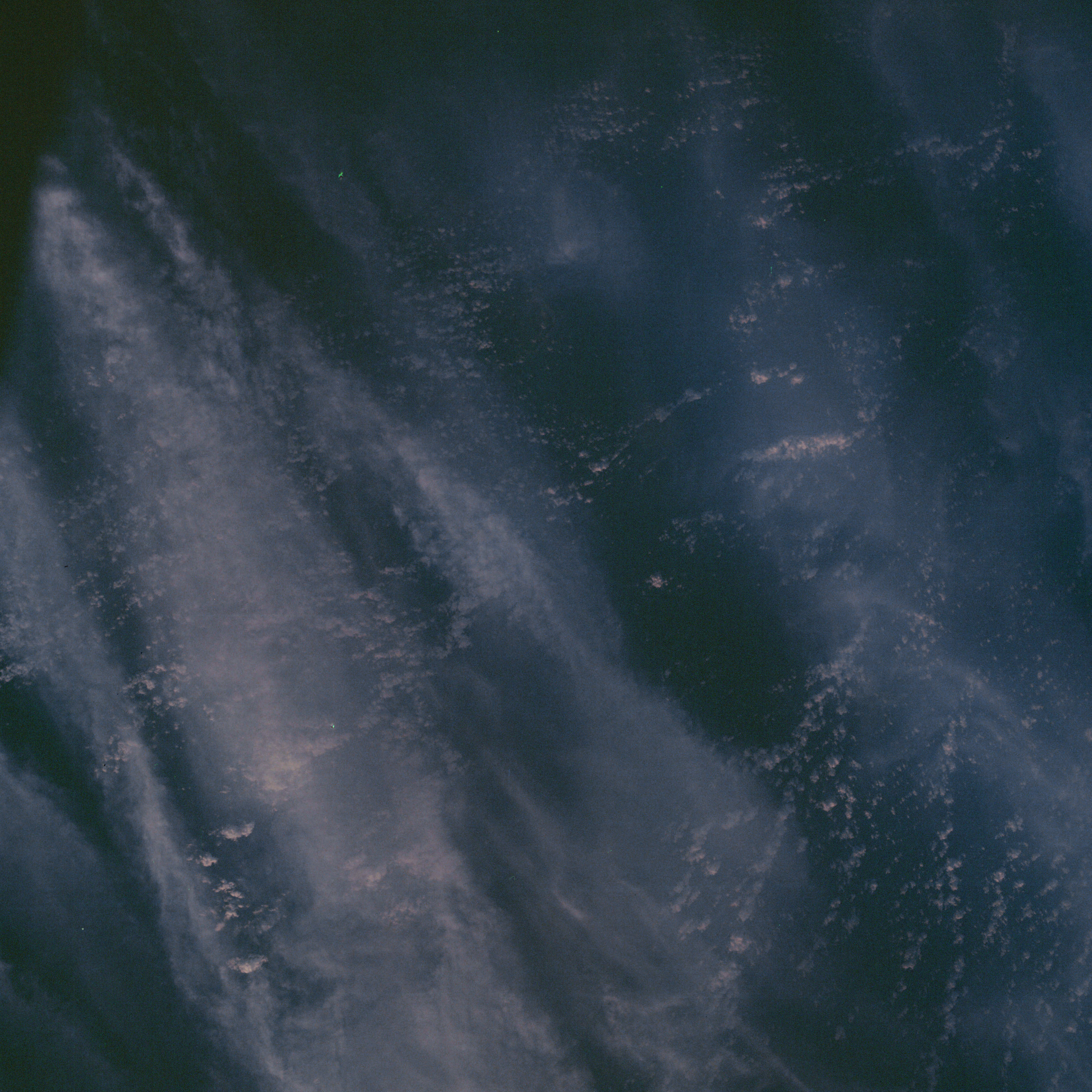 | AS07-06-1687 METEOROLOGY: Cumulus, cirrus. (Dark) Image credit: Image Science and Analysis Laboratory, NASA-Johnson Space Center. |
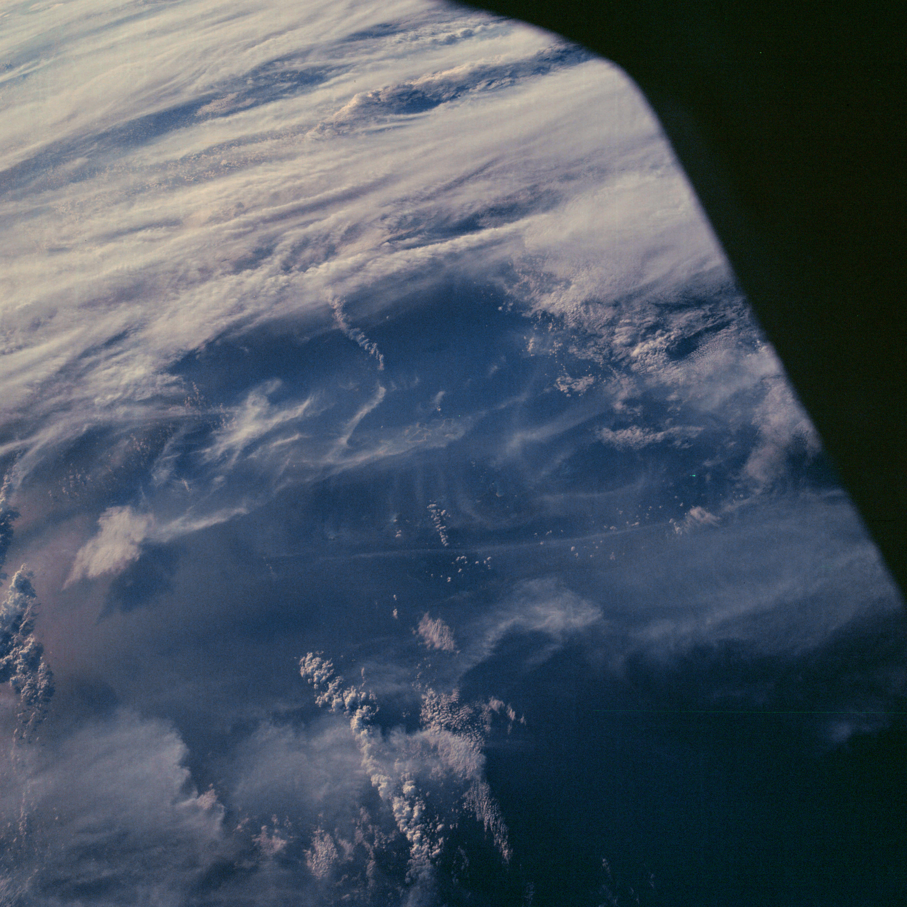 | AS07-06-1688 METEOROLOGY: Cumulus, alto-cumulus, cirrus. (Dark) Image credit: Image Science and Analysis Laboratory, NASA-Johnson Space Center. |
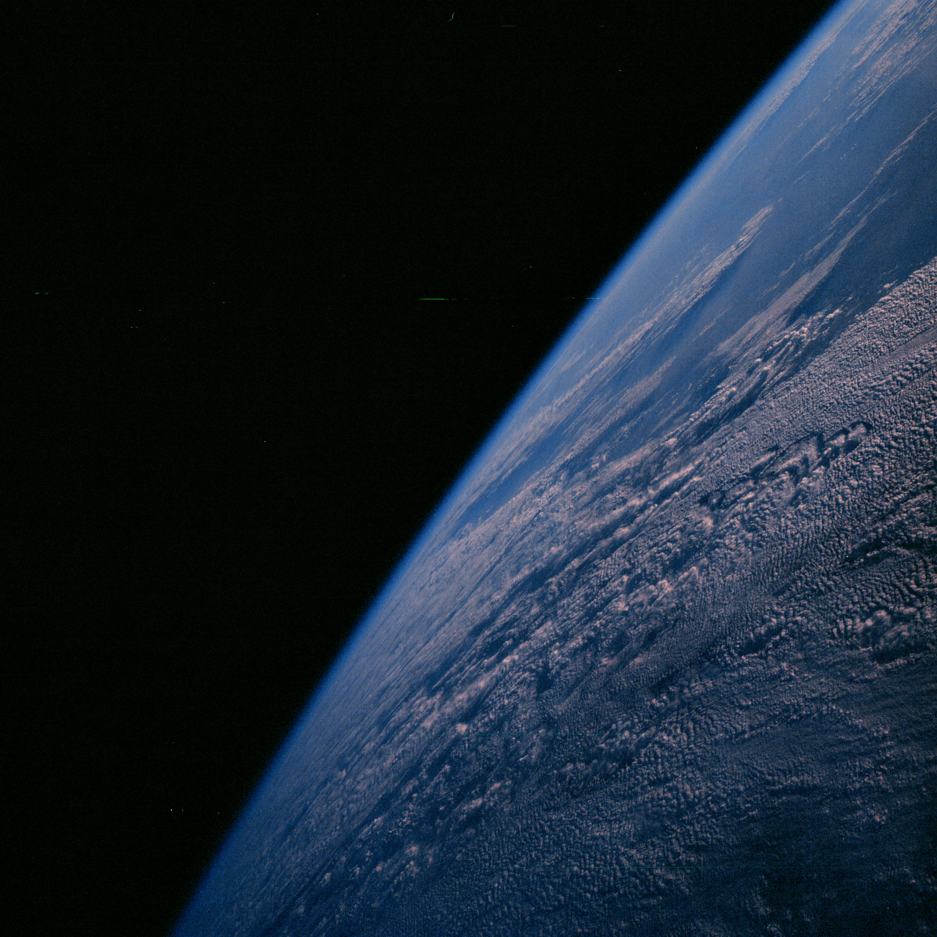 | AS07-06-1689 METEOROLOGY: Cumulus, cirrus. (Dark) Image credit: Image Science and Analysis Laboratory, NASA-Johnson Space Center. |
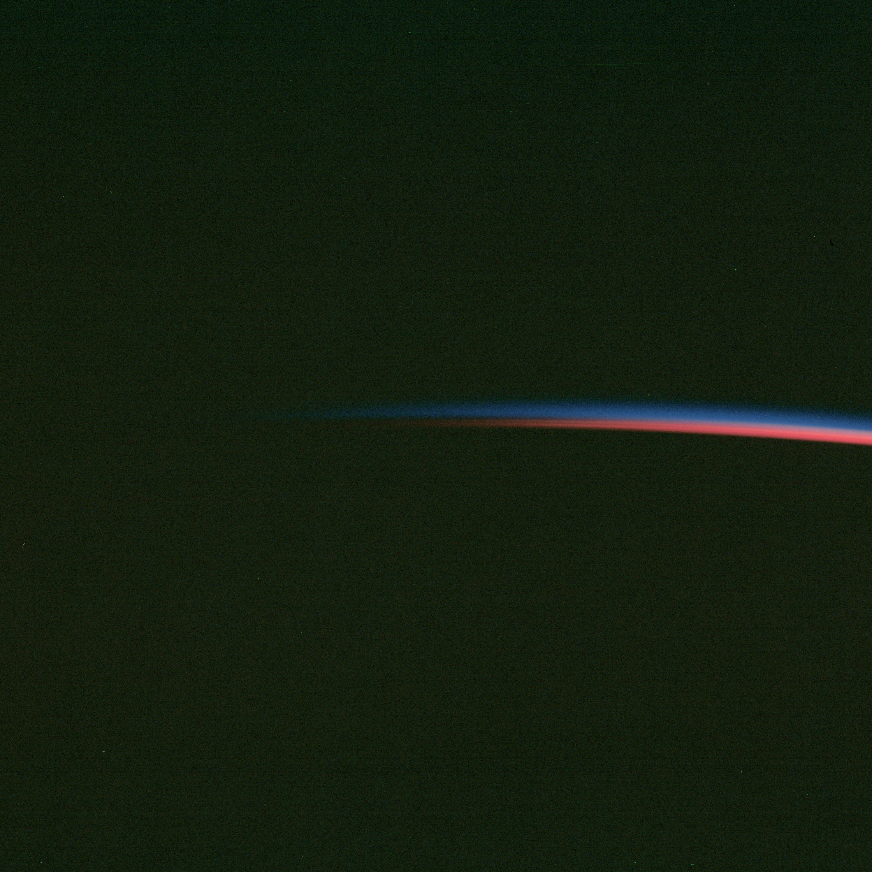 | AS07-06-1690 Blank Image credit: Image Science and Analysis Laboratory, NASA-Johnson Space Center. |
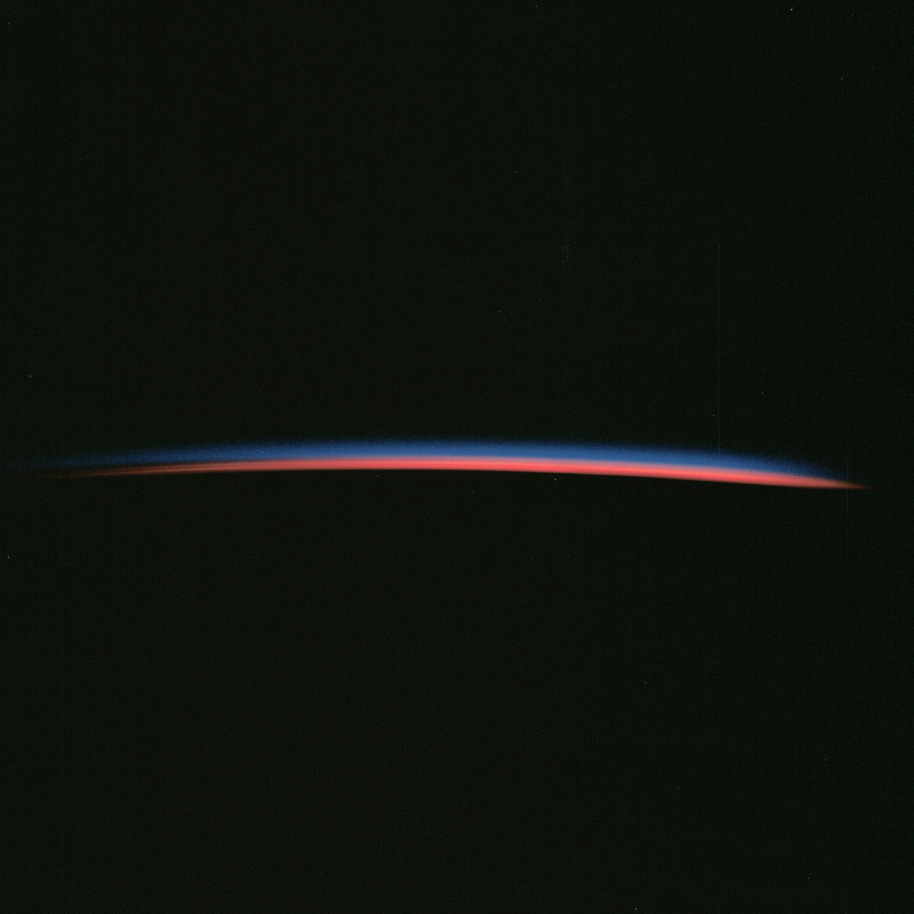 | AS07-06-1691 Blank Image credit: Image Science and Analysis Laboratory, NASA-Johnson Space Center. |
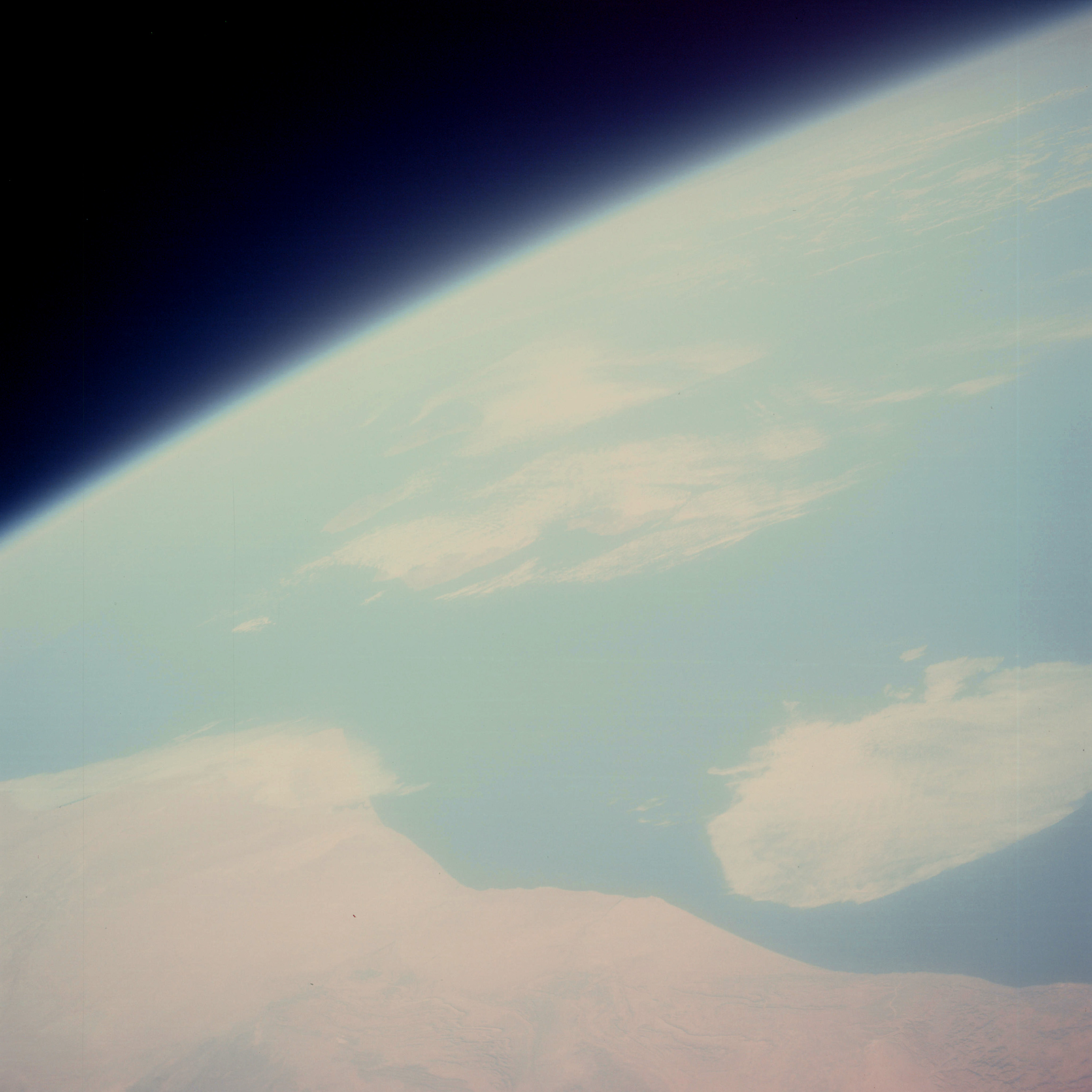 | AS07-06-1692 GEOGRAPHY/CARTOGRAPHY: Morocco, coast near Ifni, horizon. (Light) Image credit: Image Science and Analysis Laboratory, NASA-Johnson Space Center. |
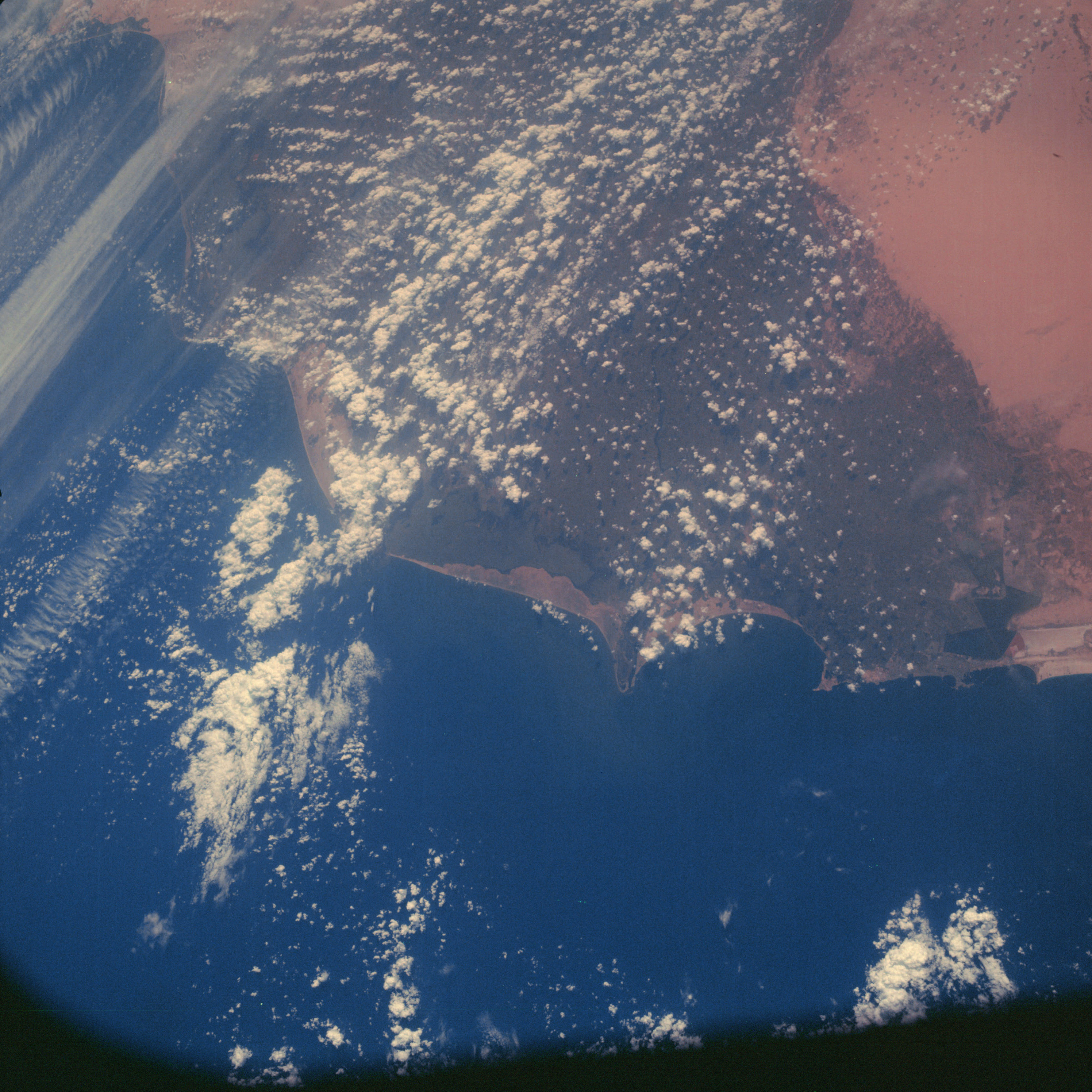 | AS07-06-1693 GEOGRAPHY/CARTOGRAPHY: Nile Delta, Alexandria to Port Said. (Dark) AGRICULTURE: Extensive cultivation in Nile Delta area. GEOLOGY/HYDROLOGY: Deltaic flood plain and a lower coastal plain. Perennial drainage is dominant within the delta. FORESTRY: Scattered shrubform outside of agriculture patterns. METEOROLOGY: Cumulus, towering cumulus. Image credit: Image Science and Analysis Laboratory, NASA-Johnson Space Center. |
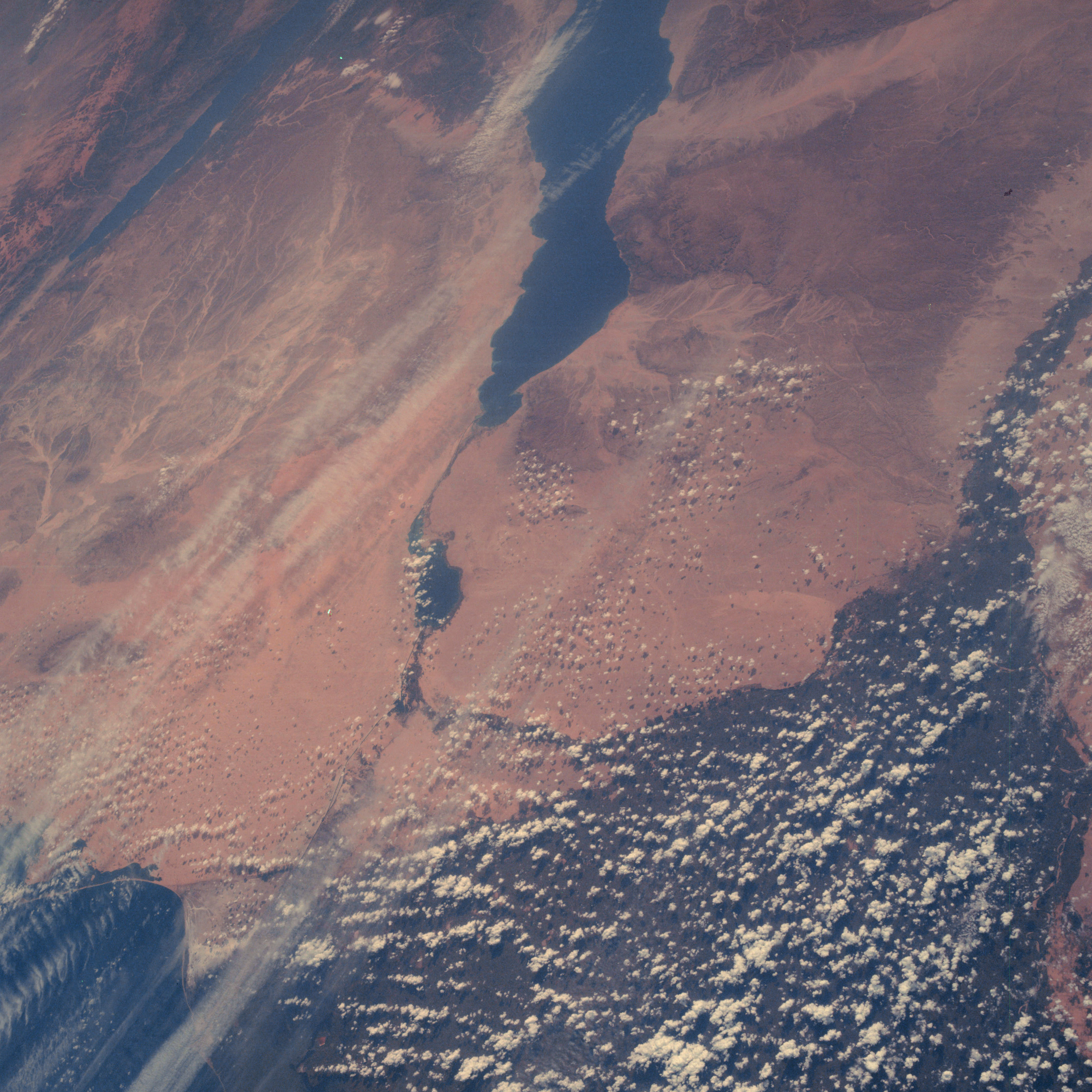 | AS07-06-1694 GEOGRAPHY/CARTOGRAPHY: Nile Delta, Gulf of Suez. (Dark) GEOLOGY/HYDROLOGY: Erg and alluvial plains with highly fractured complex mountains. Intermittent drainage dominates. FORESTRY: Scattered shrubform. METEOROLOGY: Cumulus. OCEANOGRAPHY: Submerged coastline in Gulf of Suez. Image credit: Image Science and Analysis Laboratory, NASA-Johnson Space Center. |
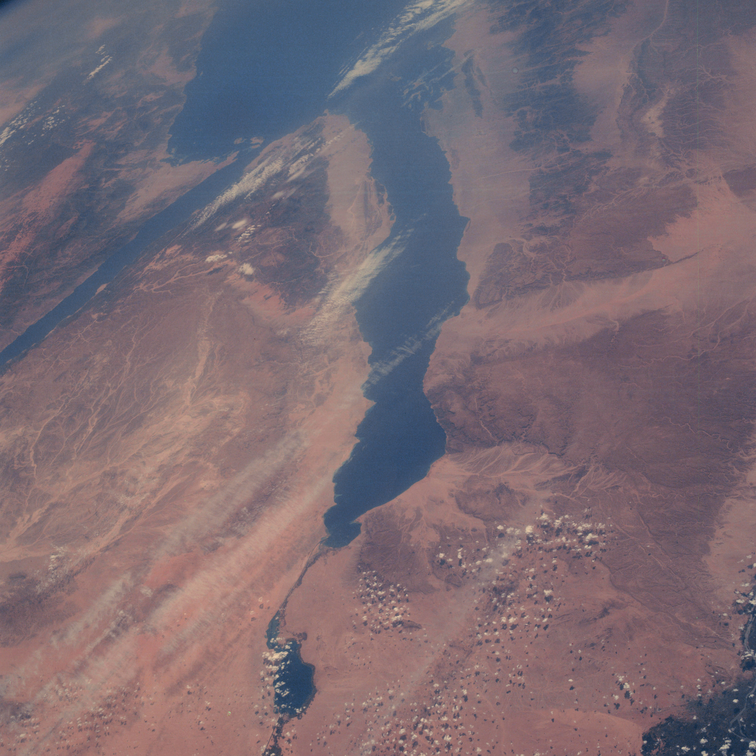 | AS07-06-1695 GEOGRAPHY/CARTOGRAPHY: Gulf of Suez, Red Sea, Gulf of Aqaba (Dark) GEOLOGY/HYDROLOGY: Elevated erg plains with fractured basement complex mountains. Intermittent drainage dominates. FORESTRY: Scattered shrubform and desert grasses. METEOROLOGY: Cumulus. OCEANOGRAPHY: Submerged coastline visible in Gulf of Suez. Image credit: Image Science and Analysis Laboratory, NASA-Johnson Space Center. |
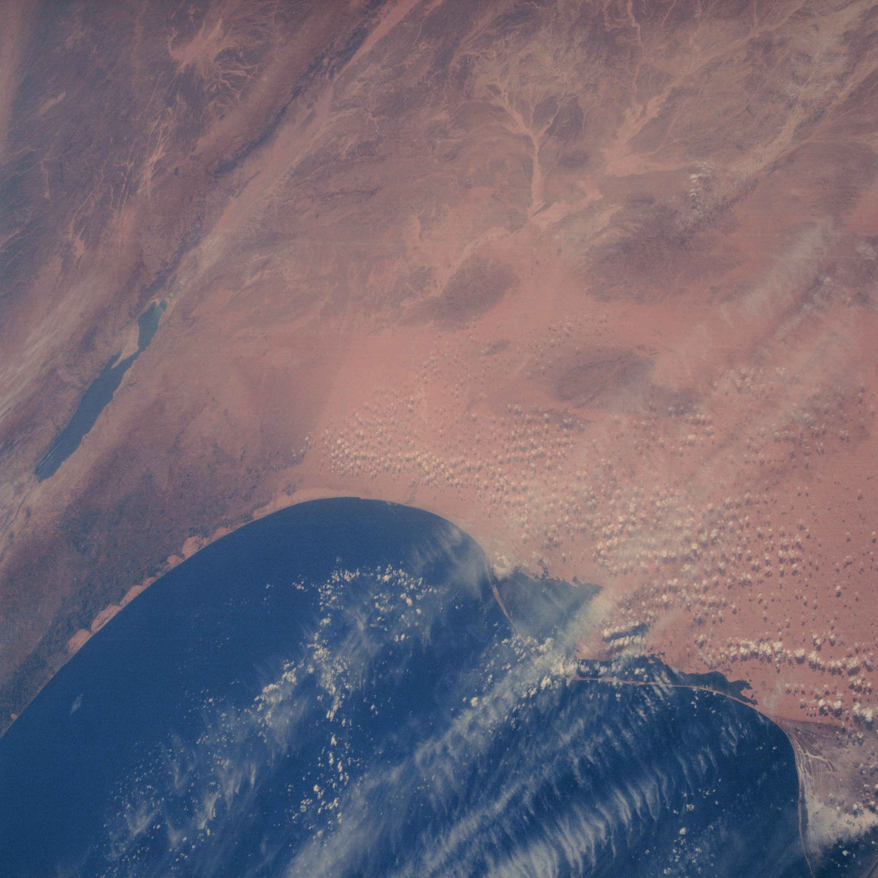 | AS07-06-1696 GEOGRAPHY/CARTOGRAPHY: Mediterranean Sea, Israel, Dead Sea. (Dark) GEOLOGY/HYDROLOGY: Coastal plain and fractured sedimentary hills and mountains. FORESTRY: Scattered shrubform and desert grasses. METEOROLOGY: Cumulus, cirrus. OCEANOGRAPHY: Inland salt water bodies along coast. Image credit: Image Science and Analysis Laboratory, NASA-Johnson Space Center. |
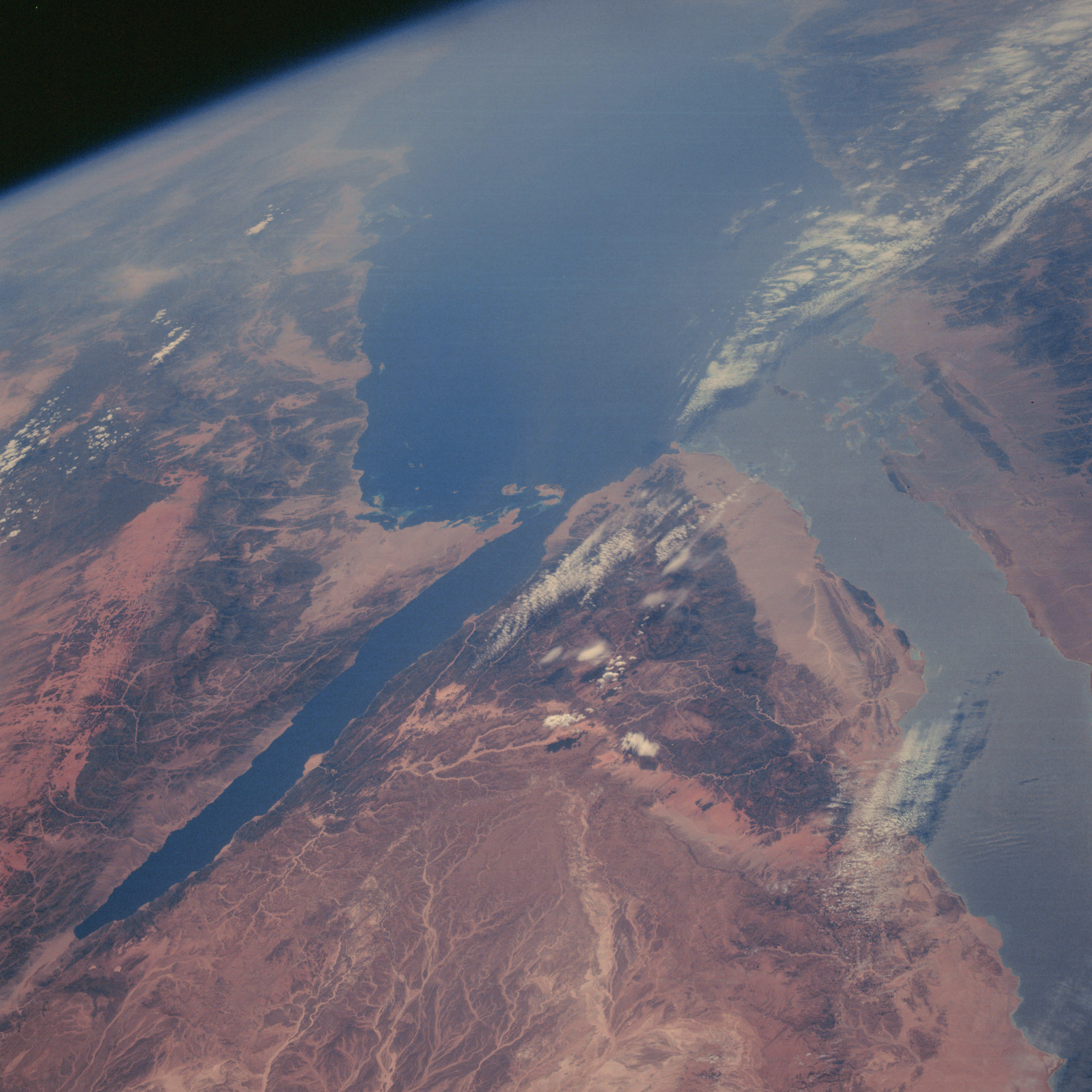 | AS07-06-1697 GEOGRAPHY/CARTOGRAPHY: Sinai Peninsula, Red Sea, Gulf of Aqaba. (Dark) GEOLOGY/HYDROLOGY: Fractured mountain complex with dendritic intermittent drainage. FORESTRY: Desert shrubform. METEOROLOGY: Cumulus. OCEANOGRAPHY: Coral visible in Strait of Gubal. Image credit: Image Science and Analysis Laboratory, NASA-Johnson Space Center. |
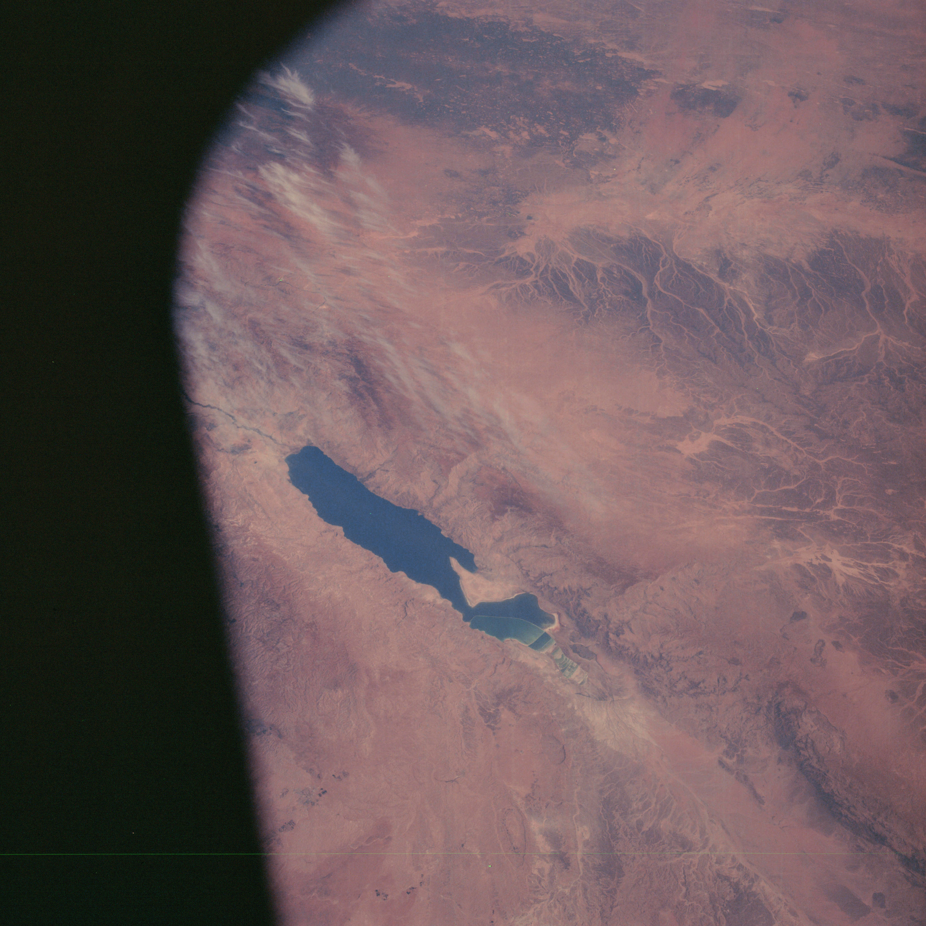 | AS07-06-1698 GEOGRAPHY/CARTOGRAPHY: Israel, Dead Sea, Jordan. (Dark) GEOLOGY/HYDROLOGY: Fractured mountain complex with intermittent drainage. FORESTRY: Desert shrubform. METEOROLOGY: Cirrus. Image credit: Image Science and Analysis Laboratory, NASA-Johnson Space Center. |
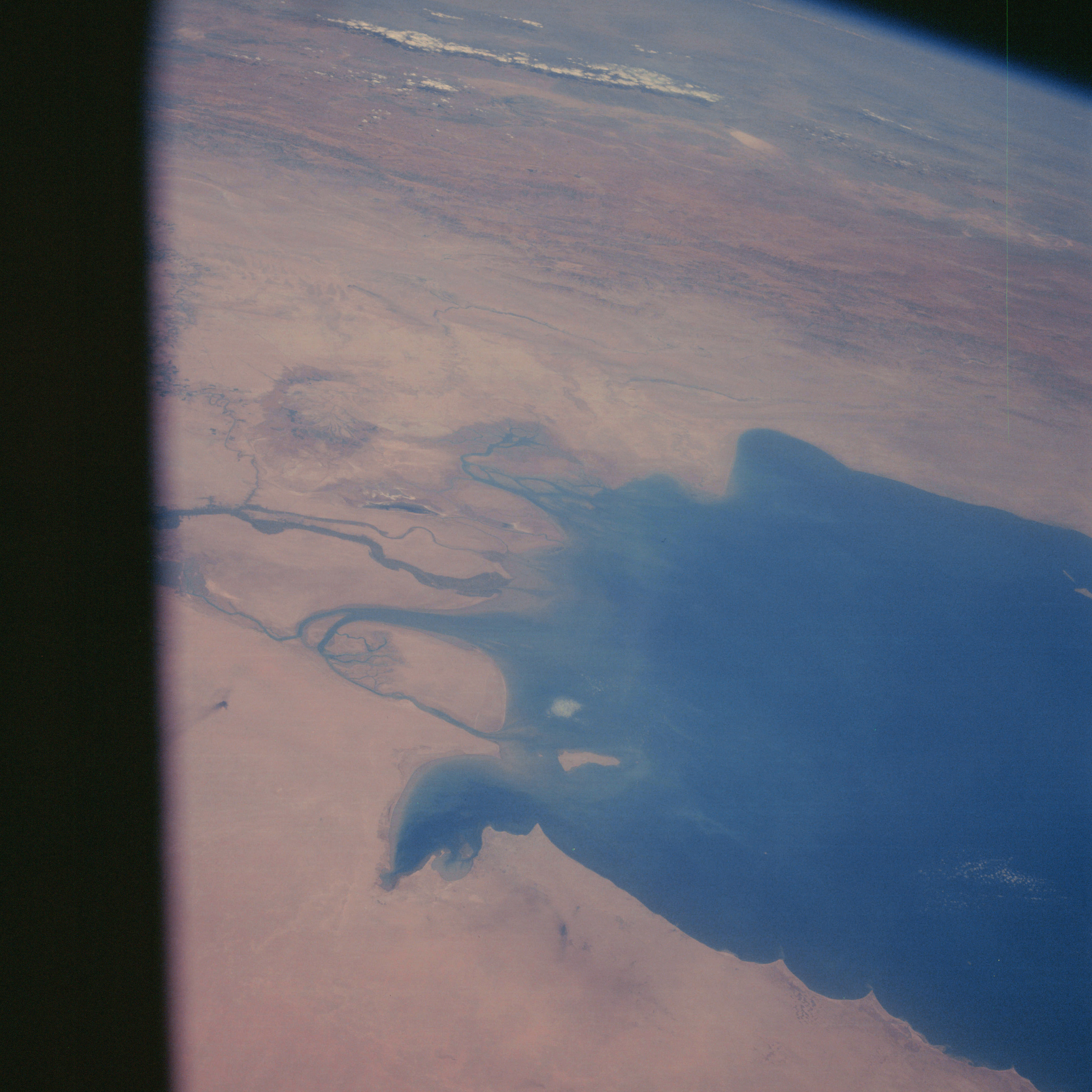 | AS07-06-1699 GEOGRAPHY/CARTOGRAPHY: Persian Gulf, Kuwait, mouth of Tigris-Euphrates Rivers. (Dark) AGRICULTURE: Scattered field patterns along rivers. GEOLOGY/HYDROLOGY: Deltaic flood plain region. FORESTRY: Desert shrubform primarily along banks of major drains. METEOROLOGY: Small cumulus. OCEANOGRAPHY: Good fresh-salt water interface, showing sediment patterns. Image credit: Image Science and Analysis Laboratory, NASA-Johnson Space Center. |
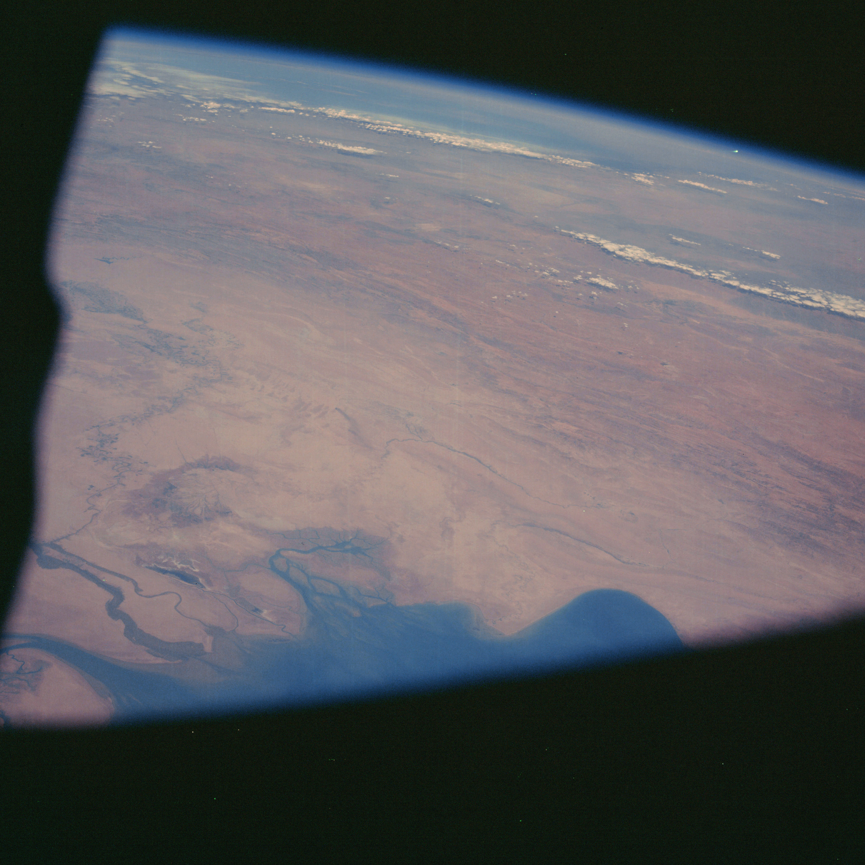 | AS07-06-1700 GEOGRAPHY/CARTOGRAPHY: Persian Gulf, Iran, Iraq, mouth of Tigris-Euphrates Rivers. (Dark) AGRICULTURE: Field patterns along Karun Rud River. GEOLOGY/HYDROLOGY: Alluvial flood plain, delta, and complex folded mountains. METEOROLOGY: Cumulus. OCEANOGRAPHY: Sediment flow patterns from rivers. Image credit: Image Science and Analysis Laboratory, NASA-Johnson Space Center. |
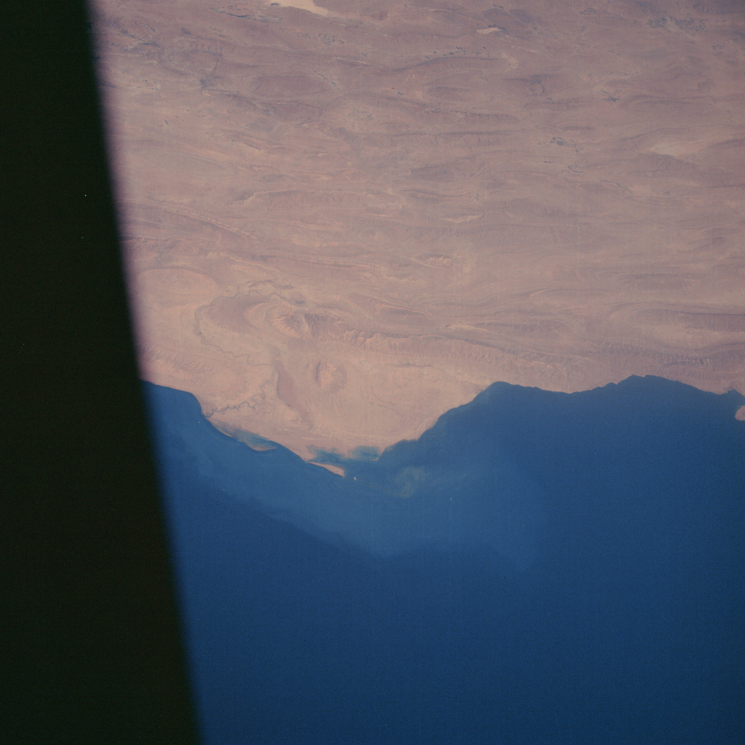 | AS07-06-1701 GEOGRAPHY/CARTOGRAPHY: Persian Gulf, Iran, coast of Kangan, Zagros Mountains. (Dark) AGRICULTURE: Possible cultivation patterns along avenues of drainage near Lake Daryachehi. GEOLOGY/HYDROLOGY: Folded sedimentary mountain region with an intermittent drainage system. FORESTRY: Grass and scattered desert shrub. OCEANOGRAPHY: Sediment flow patterns along coast. Image credit: Image Science and Analysis Laboratory, NASA-Johnson Space Center. |
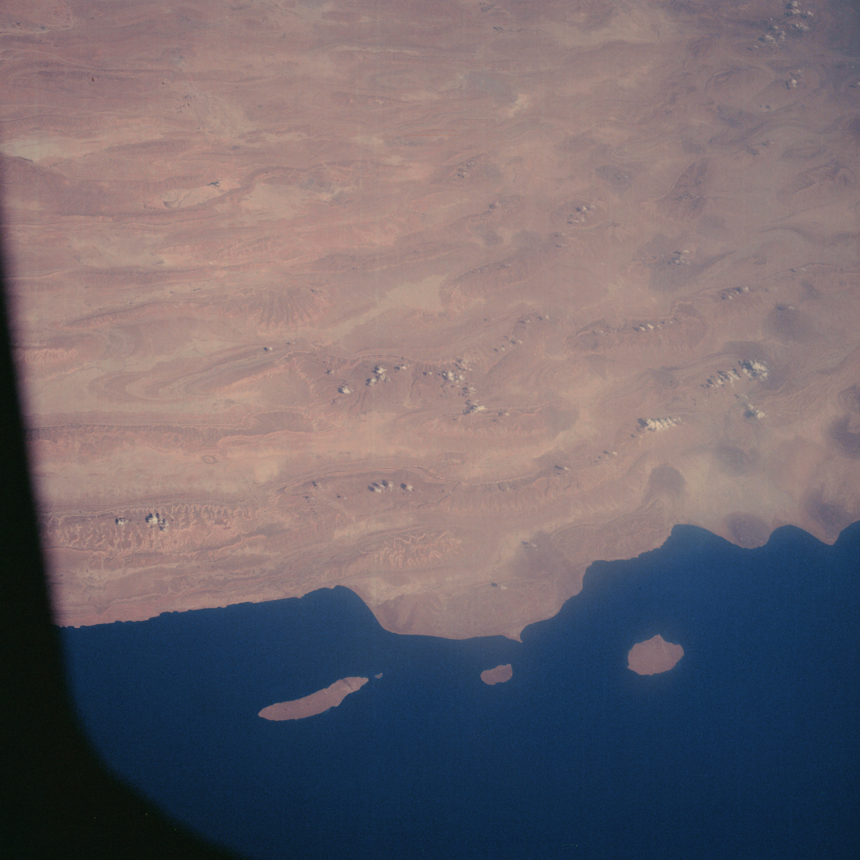 | AS07-06-1702 GEOGRAPHY/CARTOGRAPHY: Persian Gulf, Iran, coast south of Lar, Zagros Mountains. (Dark) AGRICULTURE: Cultivation patterns visible near town of Rizak. GEOLOGY/HYDROLOGY: Folded sedimentary mountain region. FORESTRY: Grass and scattered desert shrub. METEOROLOGY: Cumulus. OCEANOGRAPHY: Some color change. Image credit: Image Science and Analysis Laboratory, NASA-Johnson Space Center. |
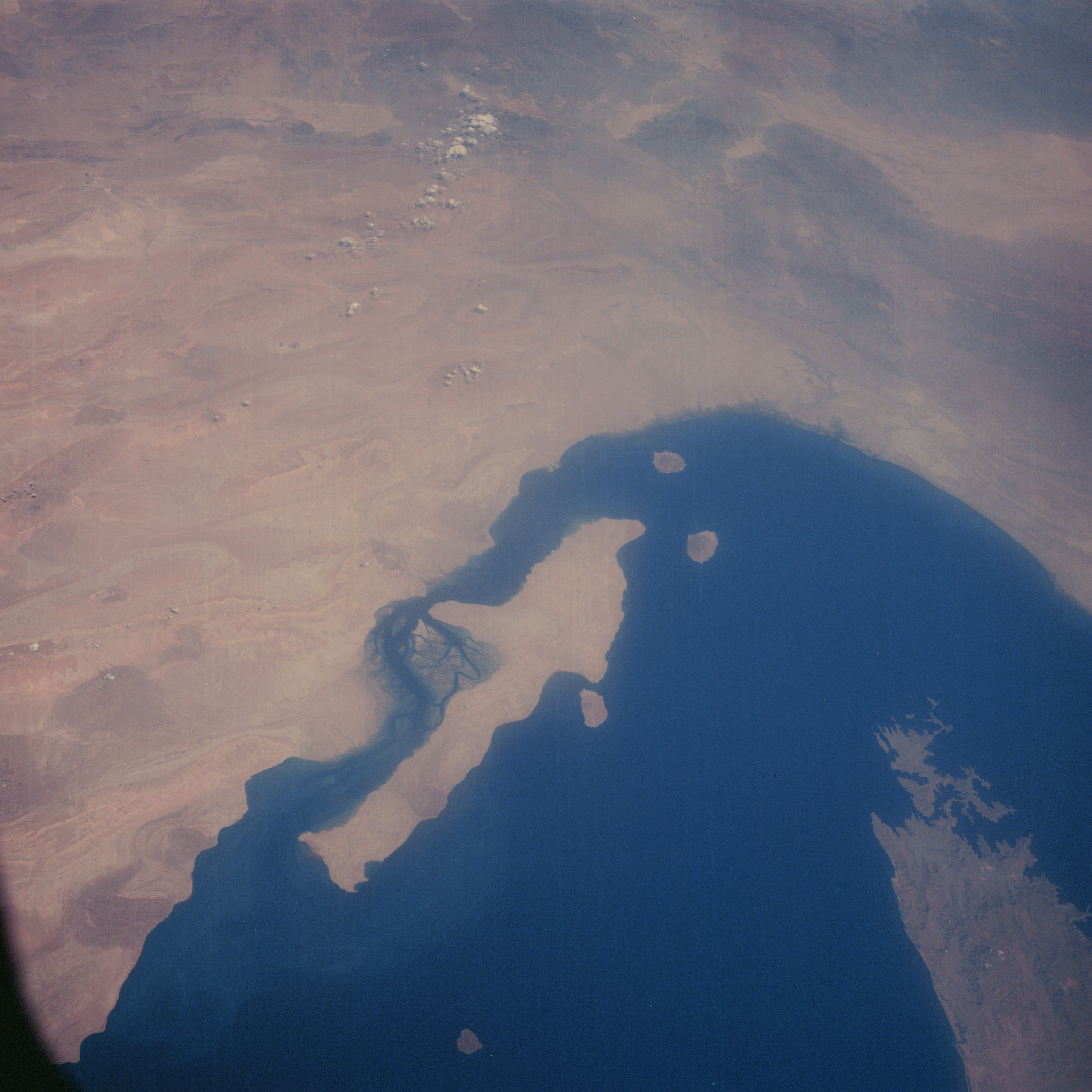 | AS07-06-1703 GEOGRAPHY/CARTOGRAPHY: Gulf of Oman, Iran, Qishm Island. (Dark) GEOLOGY/HYDROLOGY: Folded mountains, salt plugs, and a submerged delta region. FORESTRY: Grass and scattered desert shrubform, METEOROLOGY: Cumulus. OCEANOGRAPHY: Sediment deposits along coast, channels off island of Qishm very distinctive. Image credit: Image Science and Analysis Laboratory, NASA-Johnson Space Center. |
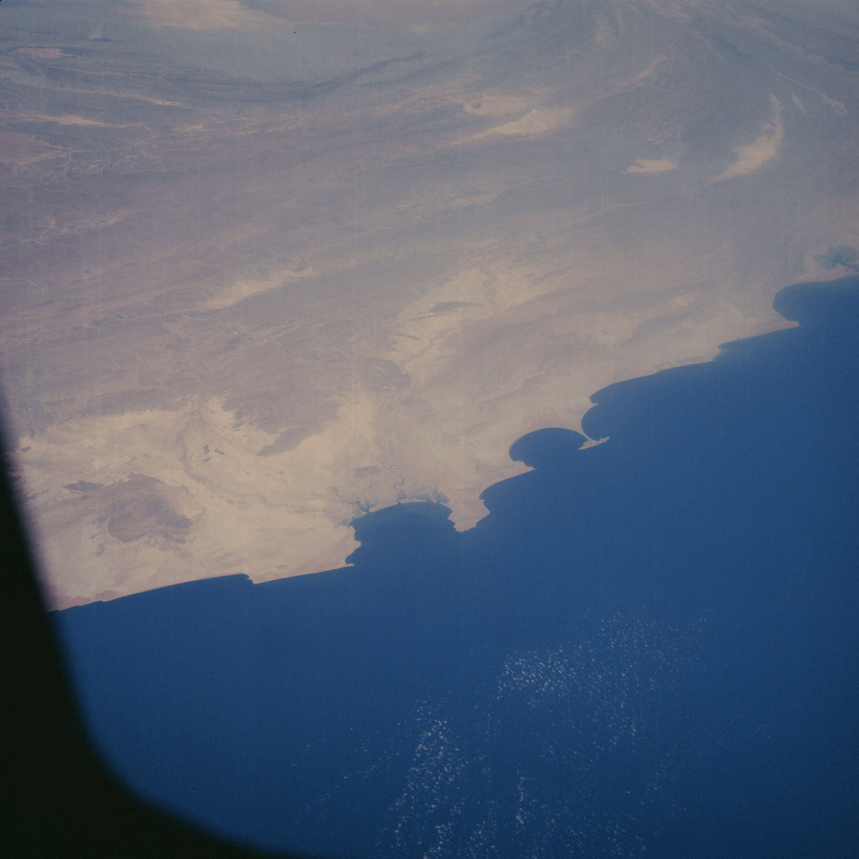 | AS07-06-1704 GEOGRAPHY/CARTOGRAPHY: Arabian Sea, Iran, Pakistan, Makren Ranges. (Dark) GEOLOGY/HYDROLOGY: Alluvial coastal plain and complex sedimentary folded mountain ranges. FORESTRY: Scattered desert shrubform and grass. OCEANOGRAPHY: Fresh-salt water interface. Image credit: Image Science and Analysis Laboratory, NASA-Johnson Space Center. |
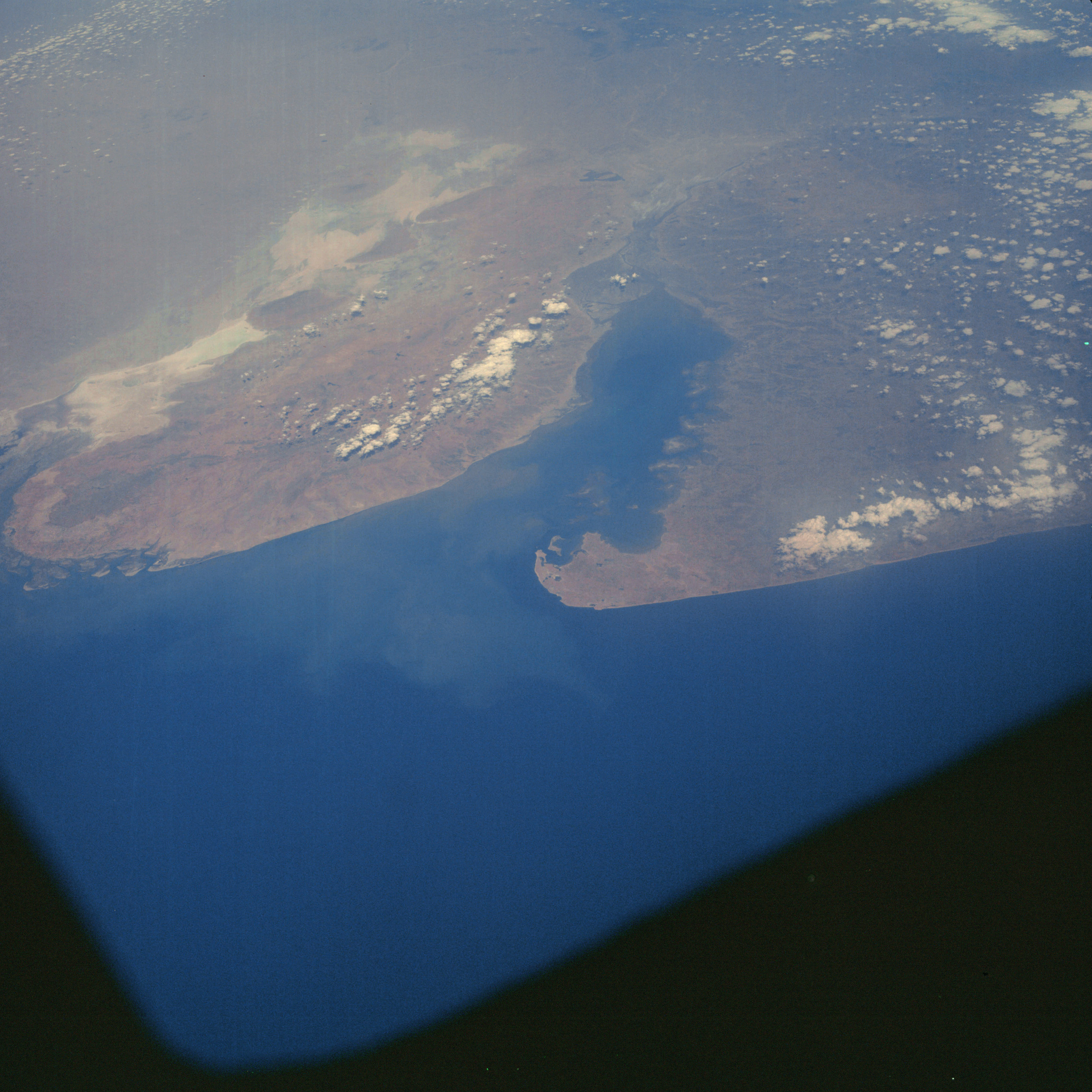 | AS07-06-1705 GEOGRAPHY/CARTOGRAPHY: India, Gulf of Kutch, Jamnagar. (Dark) GEOLOGY/HYDROLOGY: Low flood plain area of low hills and salt marshes. FORESTRY: Scattered to dense shrubform, mostly mangrove. METEOROLOGY: Cumulus, OCEANOGRAPHY: Possible sediment flows or subsurface topography visible. Image credit: Image Science and Analysis Laboratory, NASA-Johnson Space Center. |
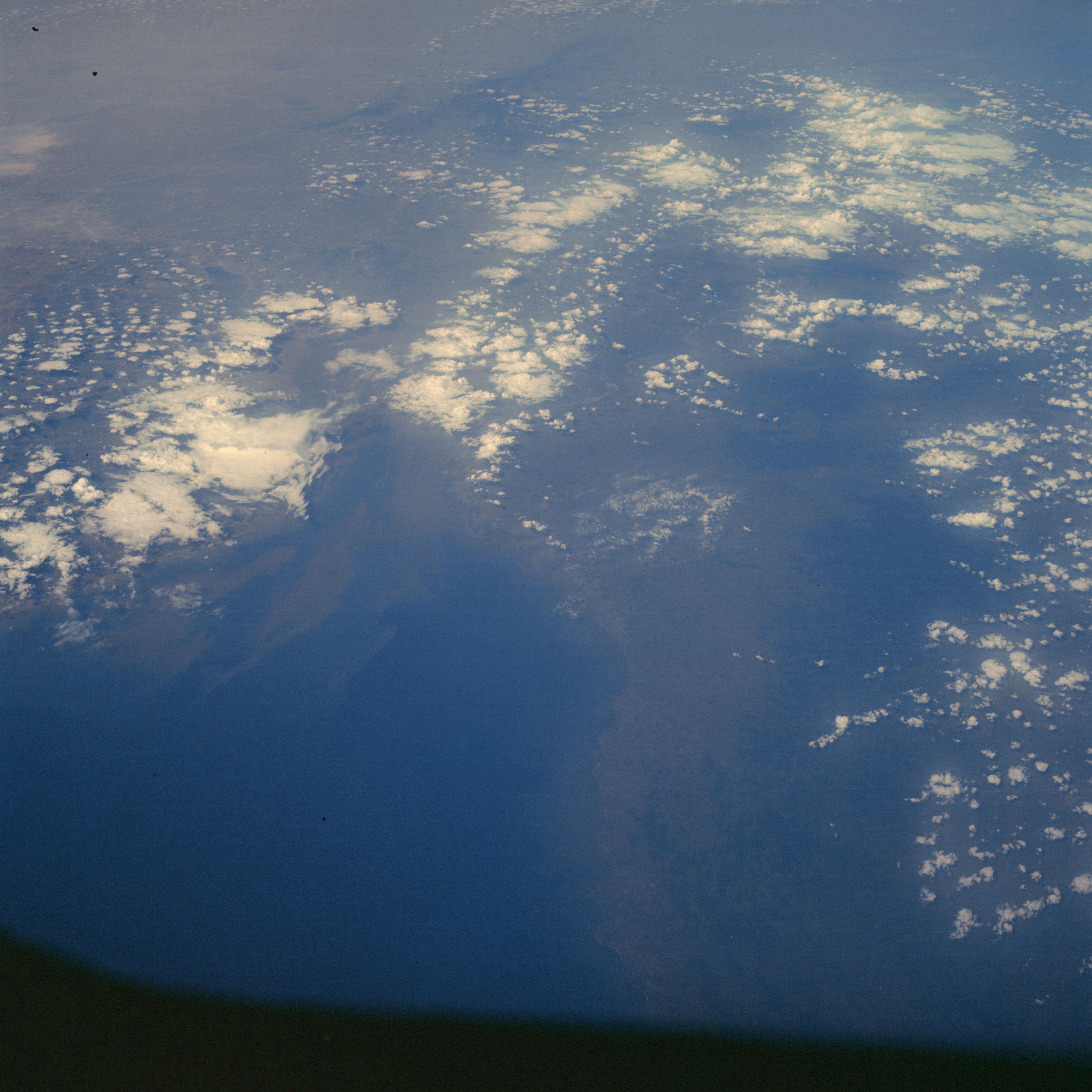 | AS07-06-1706 GEOGRAPHY/CARTOGRAPHY: India, Gulf of Cambay. (Dark) METEOROLOGY: Cumulus, alto-cumulus. Image credit: Image Science and Analysis Laboratory, NASA-Johnson Space Center. |
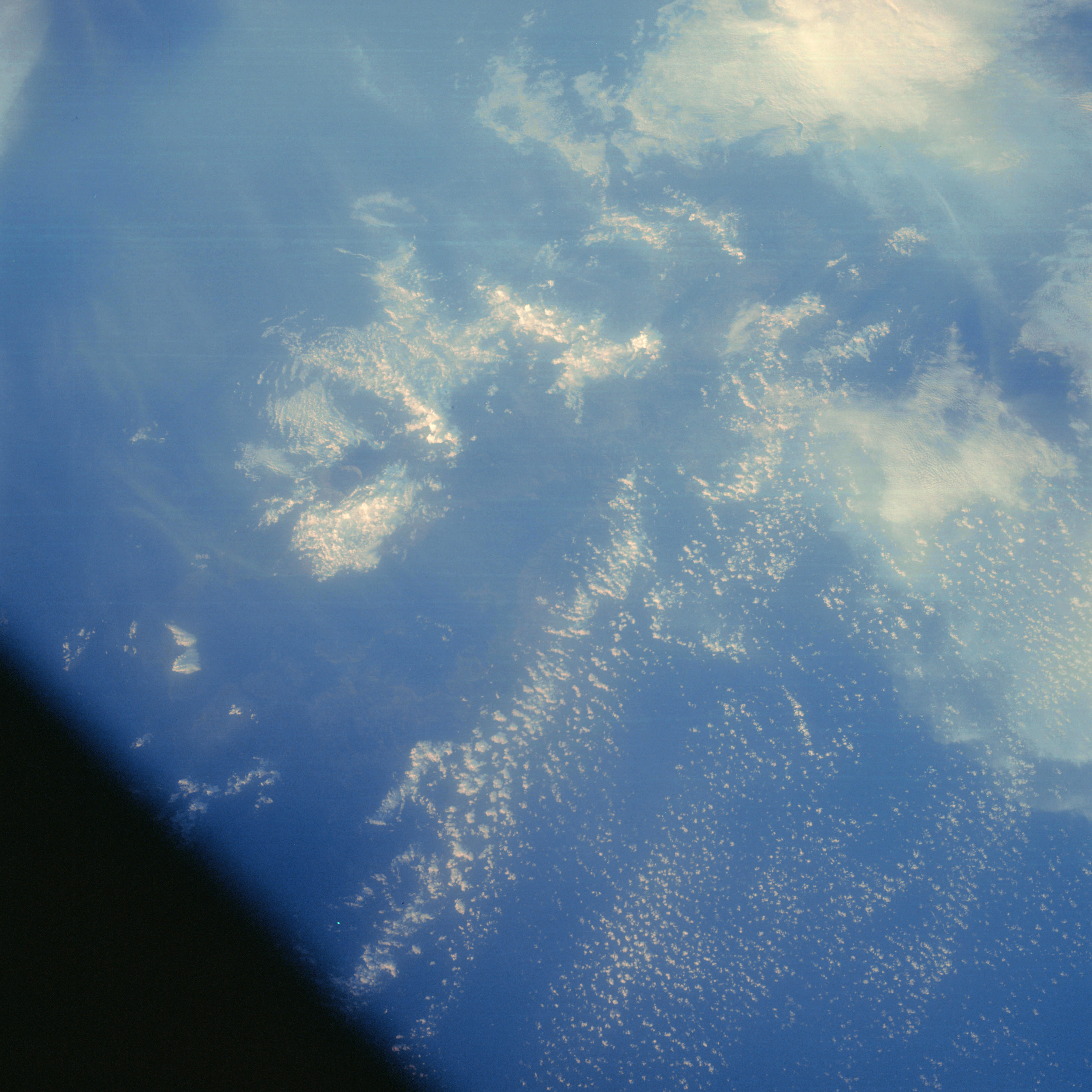 | AS07-06-1707 GEOGRAPHY/CARTOGRAPHY: Somewhere in Indonesia. (Dark) METEOROLOGY: Cumulus, cirrus. Image credit: Image Science and Analysis Laboratory, NASA-Johnson Space Center. |
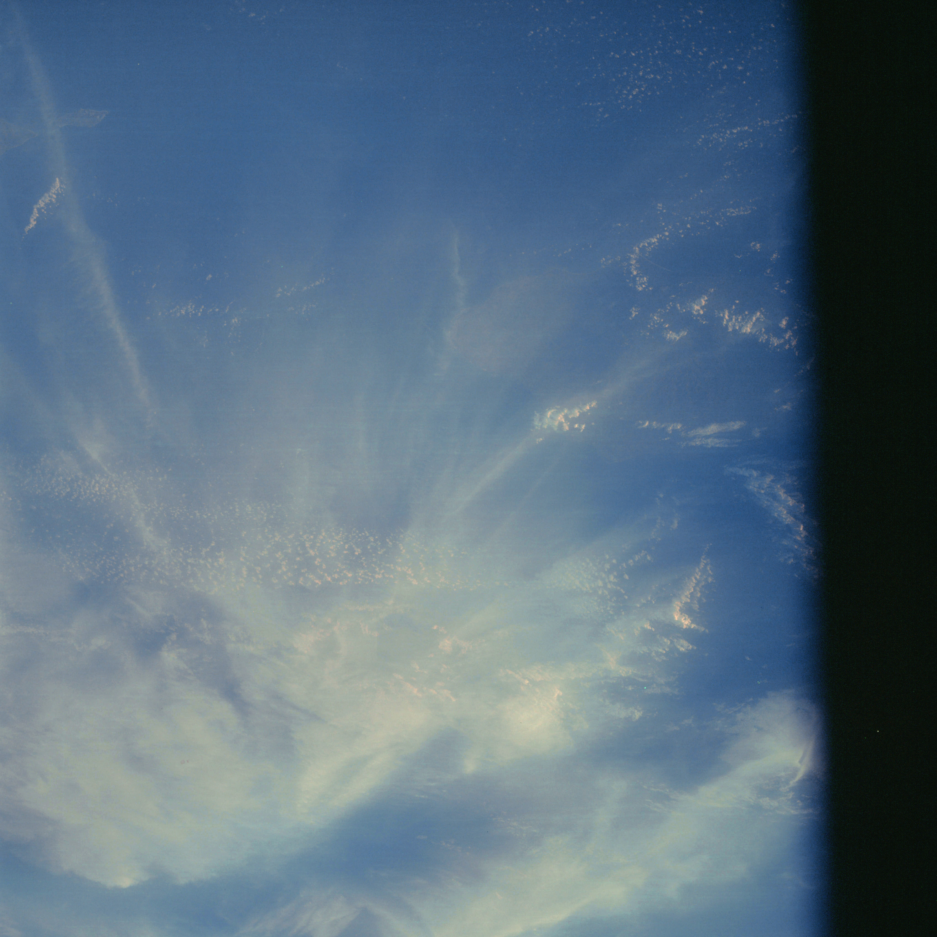 | AS07-06-1708 GEOGRAPHY/CARTOGRAPHY: Indonesia, east end of Sumba Island. (Dark) METEOROLOGY: Cumulus, cirrus. Image credit: Image Science and Analysis Laboratory, NASA-Johnson Space Center. |
 | AS07-06-1709 METEOROLOGY: Small cumulus. (Dark) Image credit: Image Science and Analysis Laboratory, NASA-Johnson Space Center. |
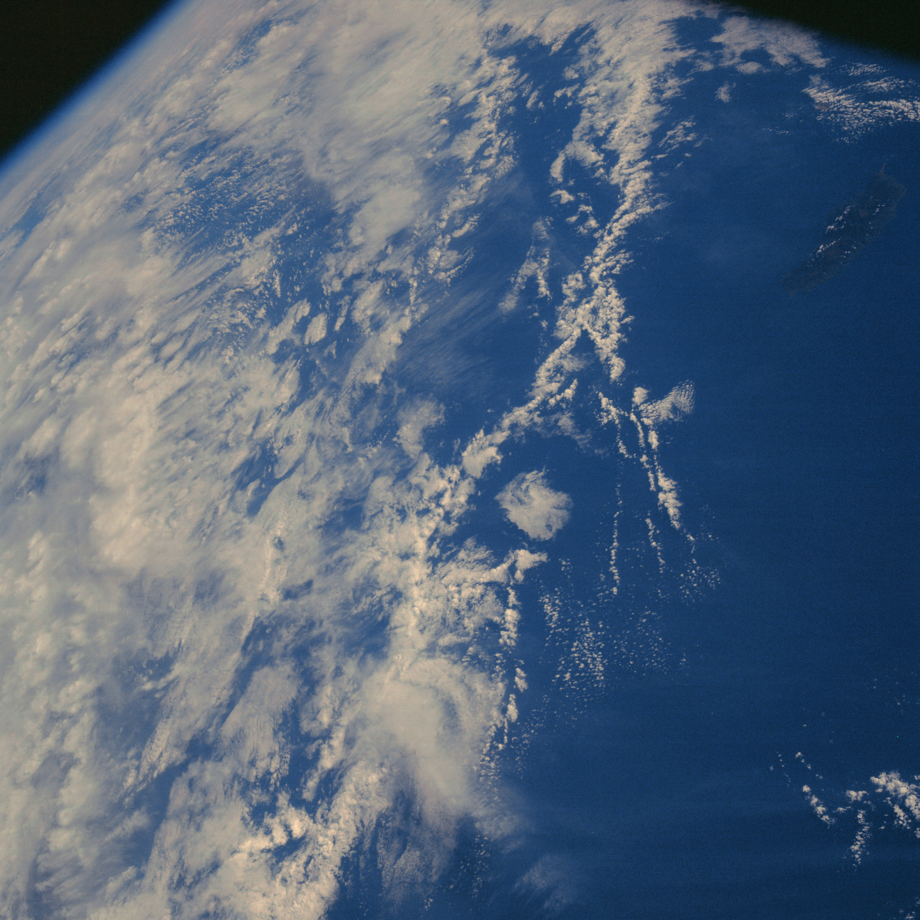 | AS07-06-1710 METEOROLOGY: Cumulus, dense cirrus. (Dark) Image credit: Image Science and Analysis Laboratory, NASA-Johnson Space Center. |
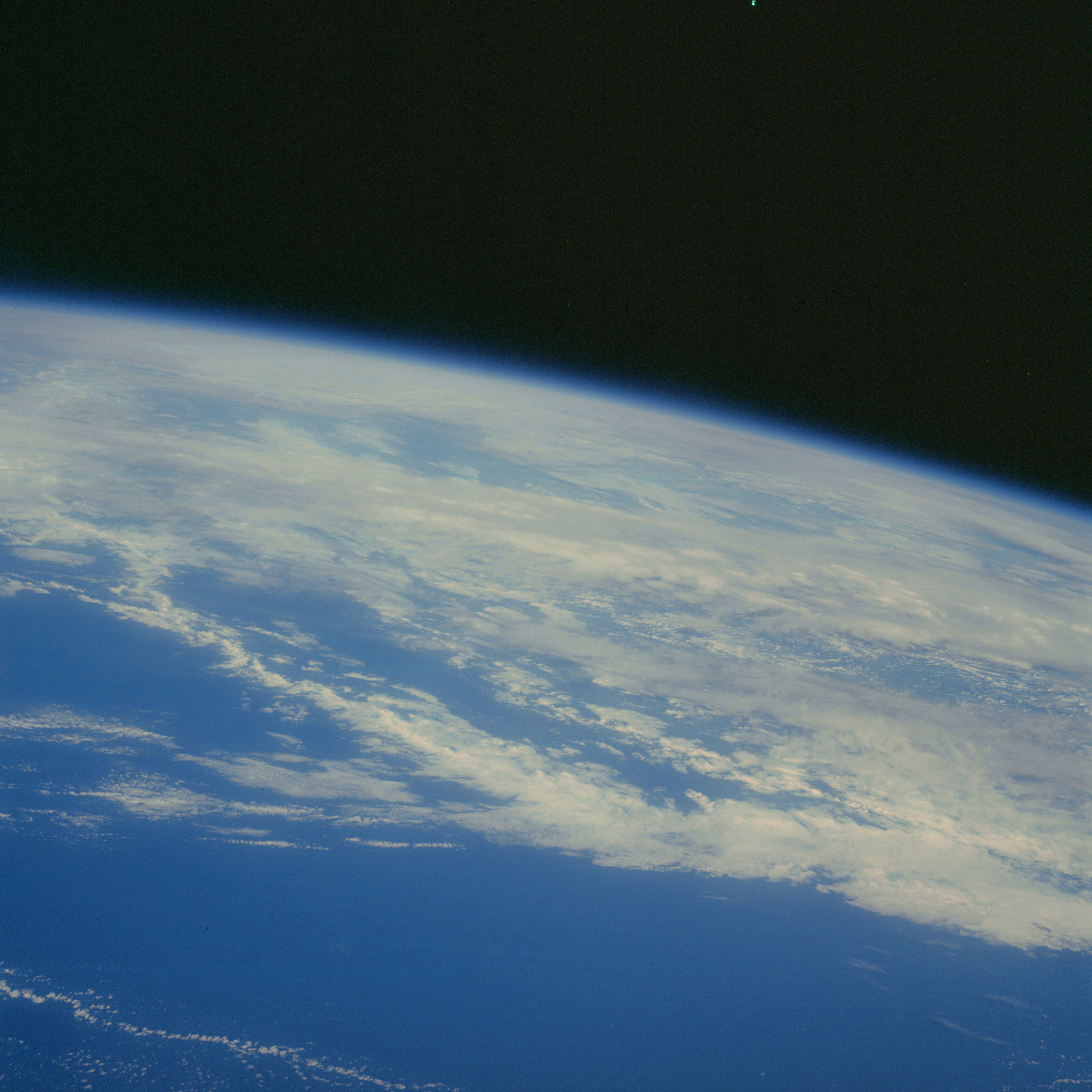 | AS07-06-1711 METEOROLOGY: Cumulus, strato-cumulus, some cirrus. (Dark) Image credit: Image Science and Analysis Laboratory, NASA-Johnson Space Center. |
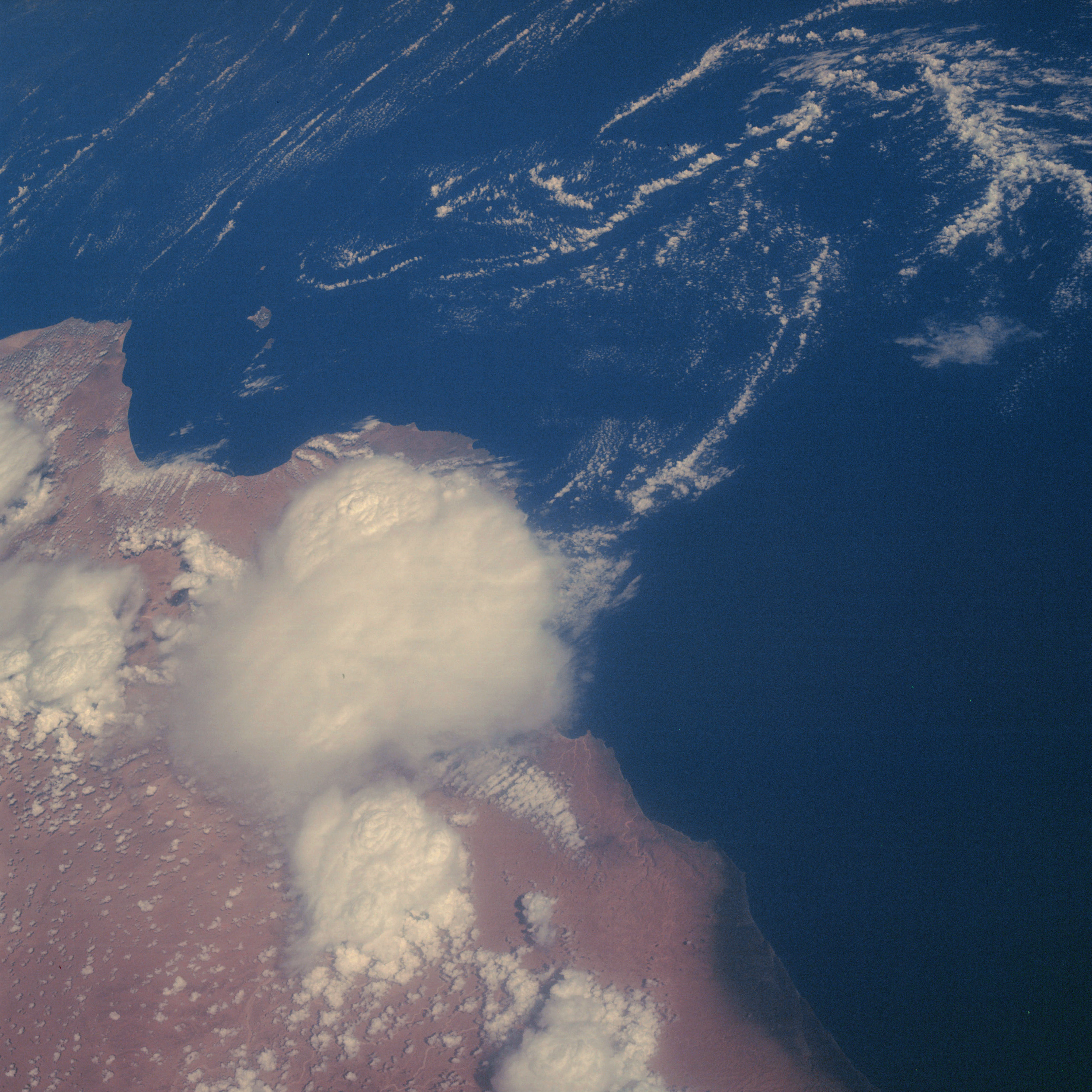 | AS07-06-1712 GEOGRAPHY/CARTOGRAPHY: Muscat-Oman, Arabian Sea, Coast of Saliah. (Dark) GEOLOGY/HYDROLOGY: Coastal plain region with numerous wadis. METEOROLOGY: Cumulus, cumulo-nimbus. Image credit: Image Science and Analysis Laboratory, NASA-Johnson Space Center. |
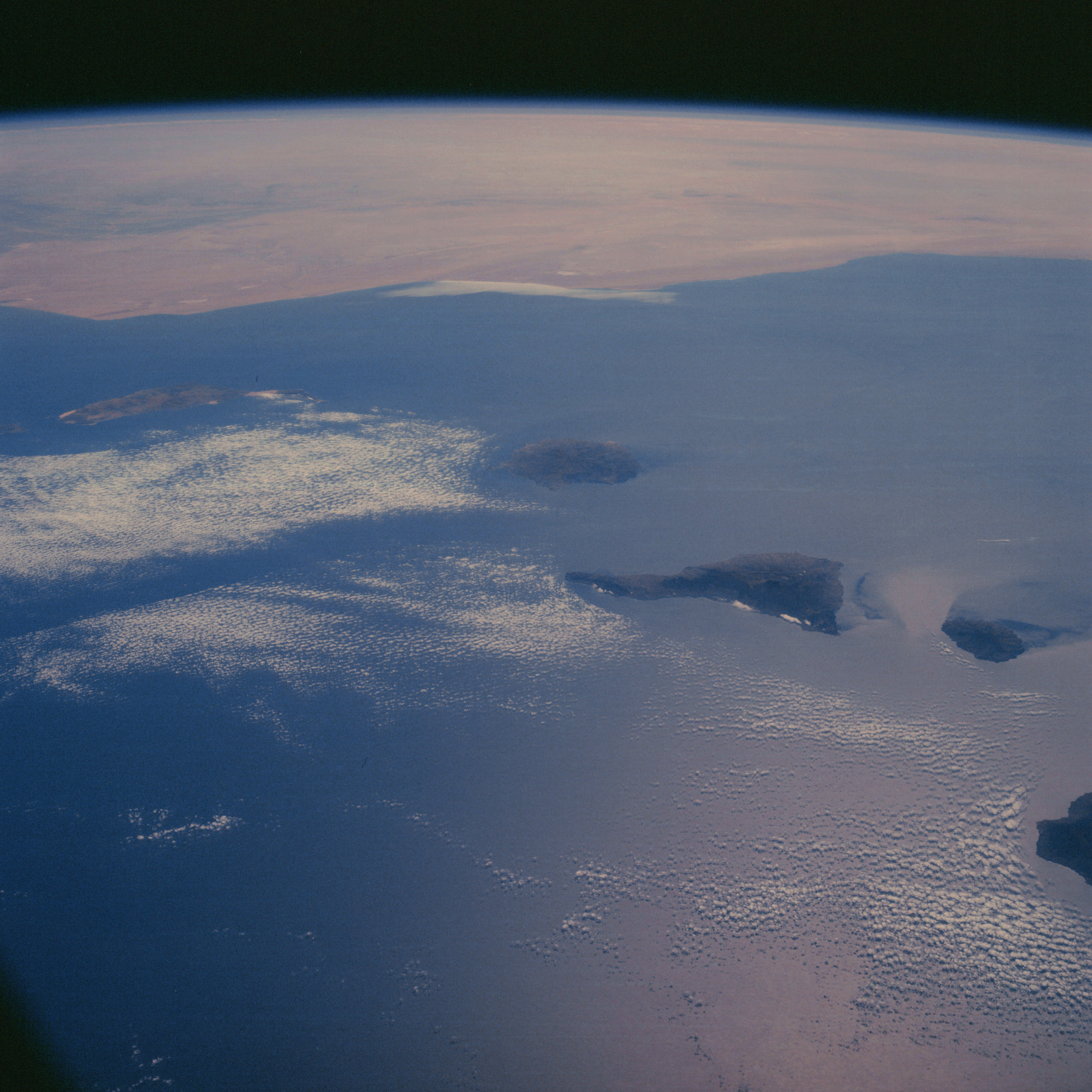 | AS07-06-1713 GEOGRAPHY/CARTOGRAPHY: Canary Islands, African coast in background. (Dark) GEOLOGY/HYDROLOGY: Volcanic islands and coastal plain desert region. METEOROLOGY: Small cumulus. Image credit: Image Science and Analysis Laboratory, NASA-Johnson Space Center. |
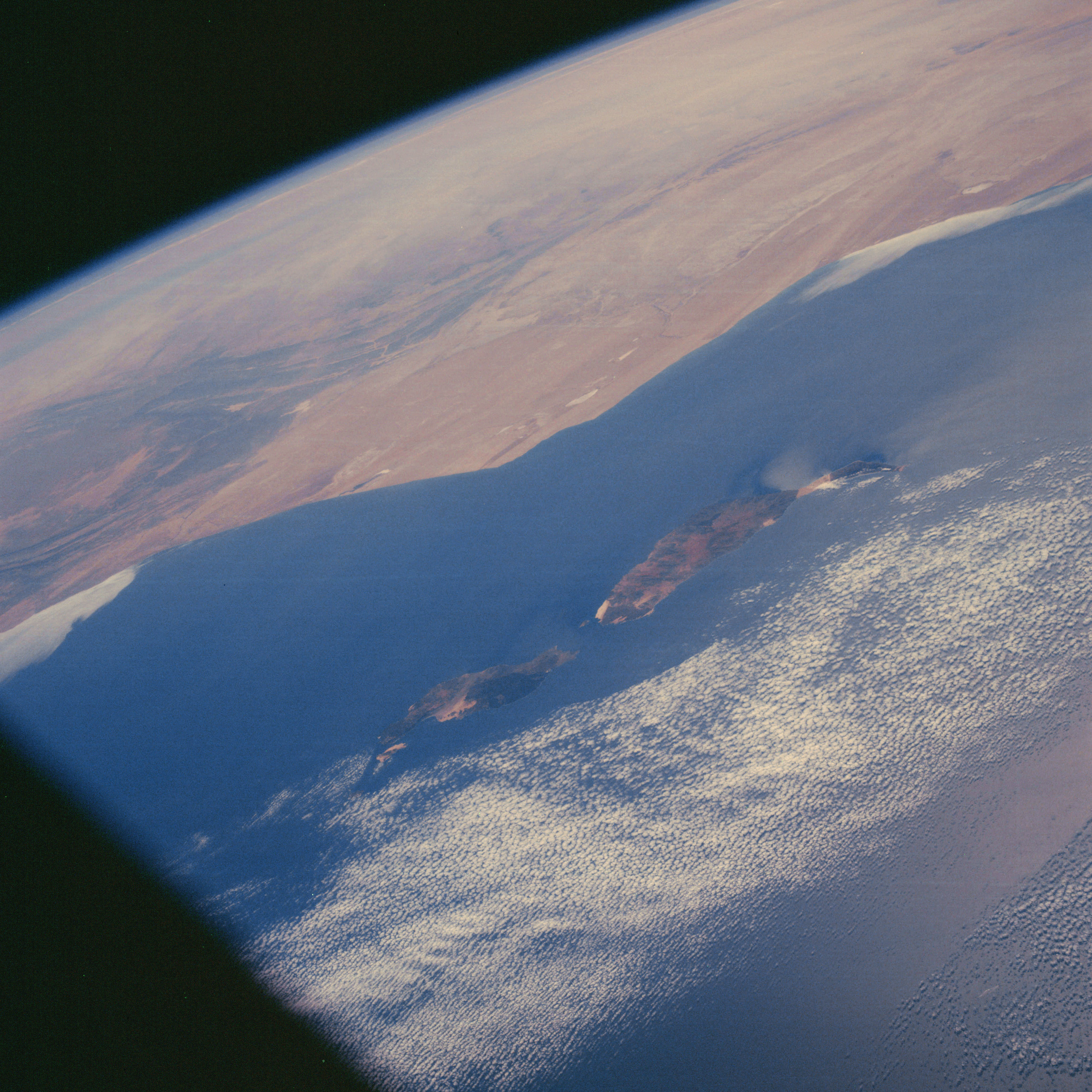 | AS07-06-1714 GEOGRAPHY/CARTOGRAPHY: Canary Islands, African coast in background. (Dark) GEOLOGY/HYDROLOGY: Low erg coastal plain. METEOROLOGY: Strato-cumulus. Image credit: Image Science and Analysis Laboratory, NASA-Johnson Space Center. |
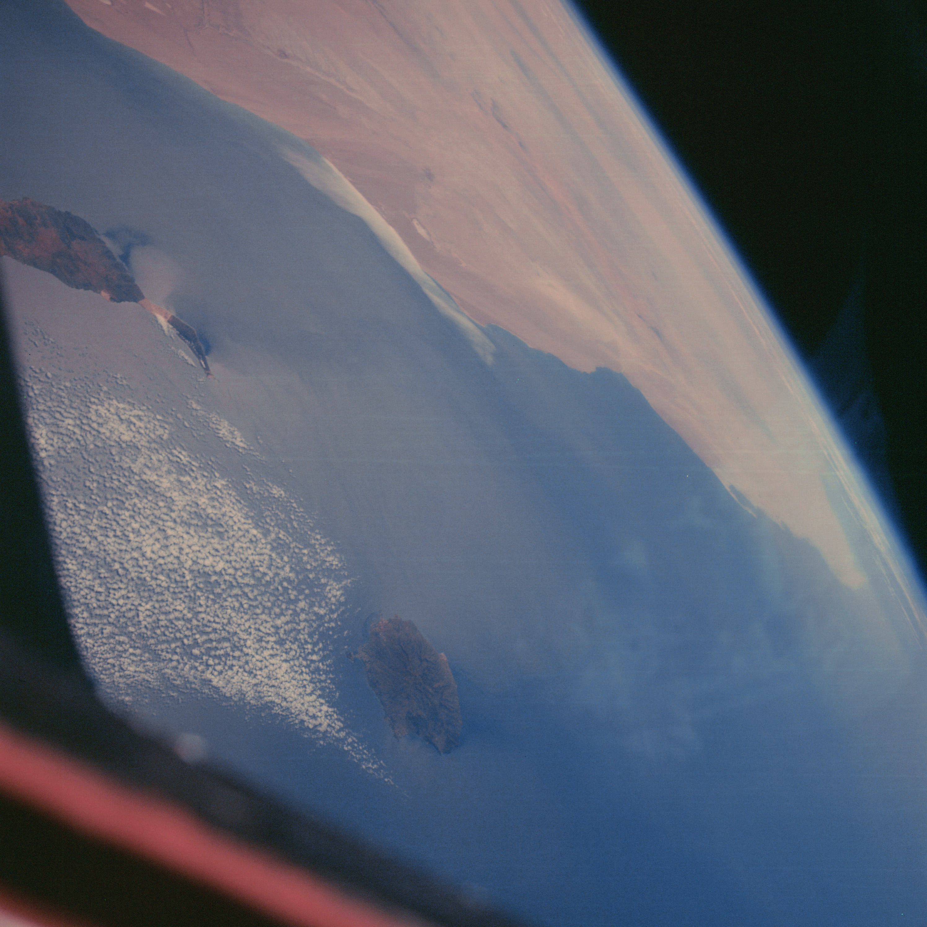 | AS07-06-1715 GEOGRAPHY/CARTOGRAPHY: Canary Islands, African coast in background. (Dark) GEOLOGY/HYDROLOGY: Low erg coastal plain. METEOROLOGY: Strato-cumulus. Image credit: Image Science and Analysis Laboratory, NASA-Johnson Space Center. |
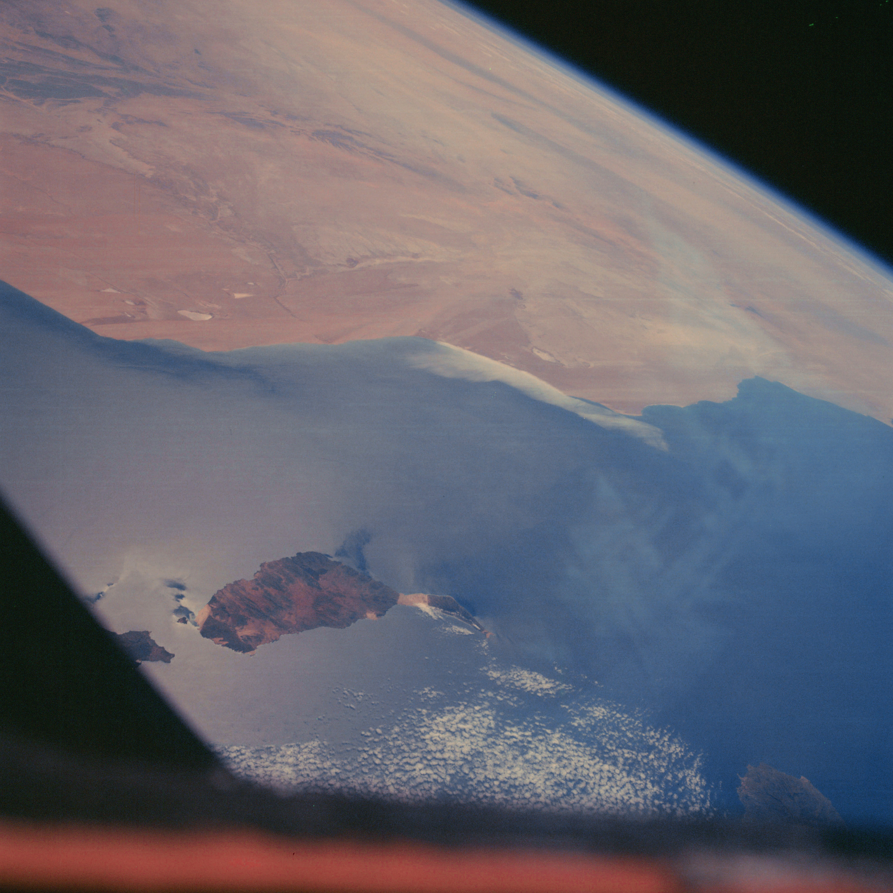 | AS07-06-1716 GEOGRAPHY/CARTOGRAPHY: Canary Islands, Fuerteventura Island Coast of Spanish Sahara in background. (Dark) GEOLOGY/HYDROLOGY: Island of complex hills and mountains, erg coastal plain with numerous wadis and dry lakes. FORESTRY: Dense tropical forests. METEOROLOGY: Cumulus. OCEANOGRAPHY: Surface patterns visible near islands. Image credit: Image Science and Analysis Laboratory, NASA-Johnson Space Center. |
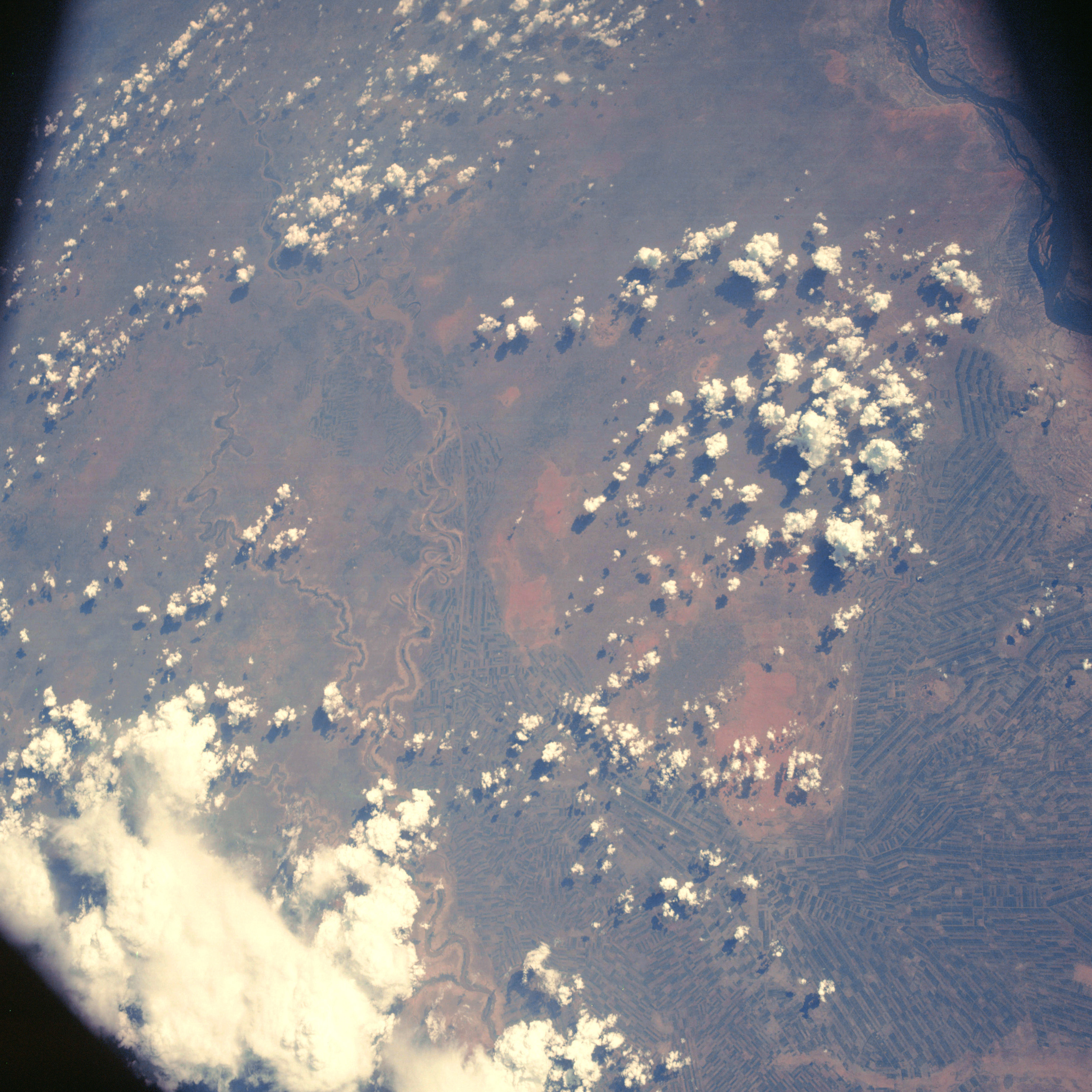 | AS07-06-1717 GEOGRAPHY/CARTOGRAPHY: Africa, Sudan, Blue and White Nile, South of Khartoum. AGRICULTURE: Extensive cultivation, field patterns and irrigation system easily discernable. GEOLOGY/HYDROLOGY: Interior elevated alluvial flood-plain. FORESTRY: Tall Savanna intermixed with groups of sub-tropical hardwoods. METEOROLOGY: Cumulus, cumulo-nimbus. Image credit: Image Science and Analysis Laboratory, NASA-Johnson Space Center. |
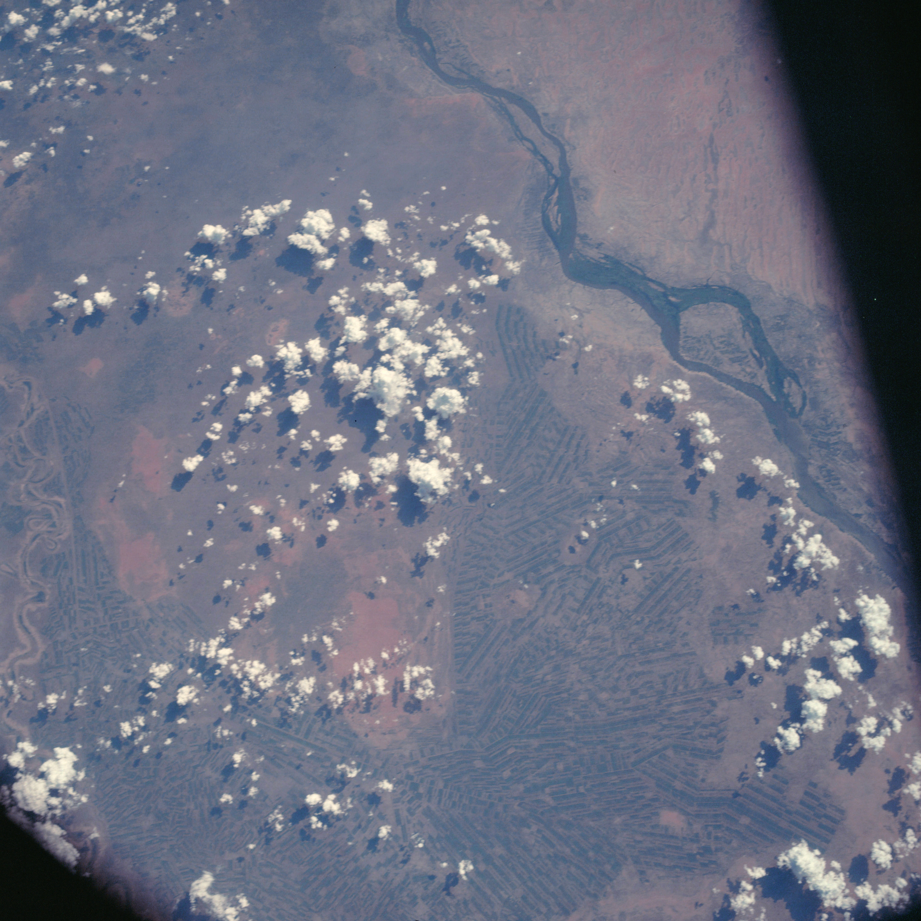 | AS07-06-1718 GEOGRAPHY/CARTOGRAPHY: Africa, Sudan, Blue and White Nile, South of Khartoum. (Dark) AGRICULTURE: Extensive cultivation, field patterns and irrigation system easily discernable. GEOLOGY/HYDROLOGY: Interior elevated alluvial flood-plain. FORESTRY: Tall Savanna intermixed with groups of sub-tropical hardwoods. METEOROLOGY: Cumulus. Image credit: Image Science and Analysis Laboratory, NASA-Johnson Space Center. |
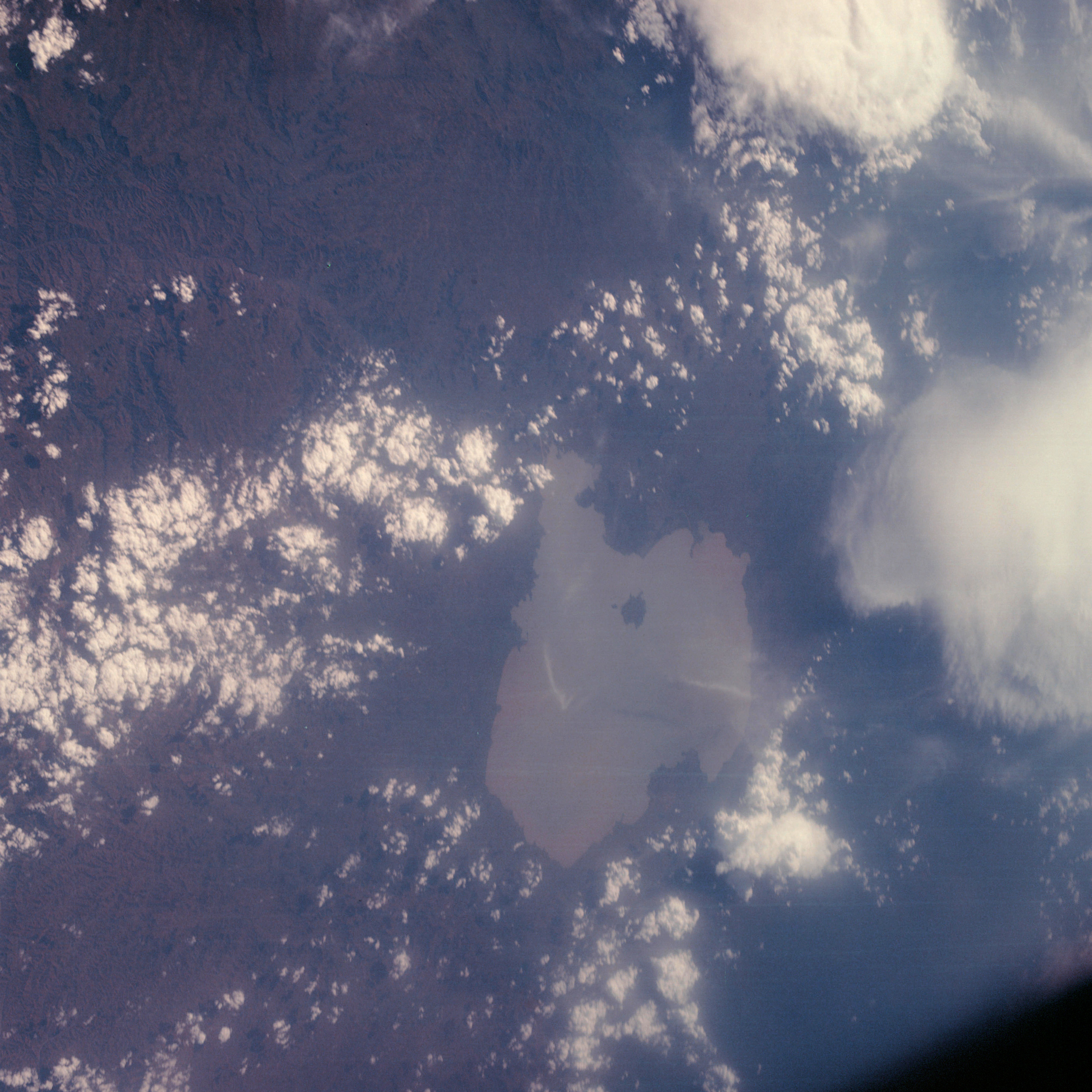 | AS07-06-1719 GEOGRAPHY/CARTOGRAPHY: Africa, Ethiopia, Lake Tana. (Dark) GEOLOGY/HYDROLOGY: Drainage basin in a mountainous region. METEOROLOGY: Cumulus, part of cumulo-nimbus. Image credit: Image Science and Analysis Laboratory, NASA-Johnson Space Center. |
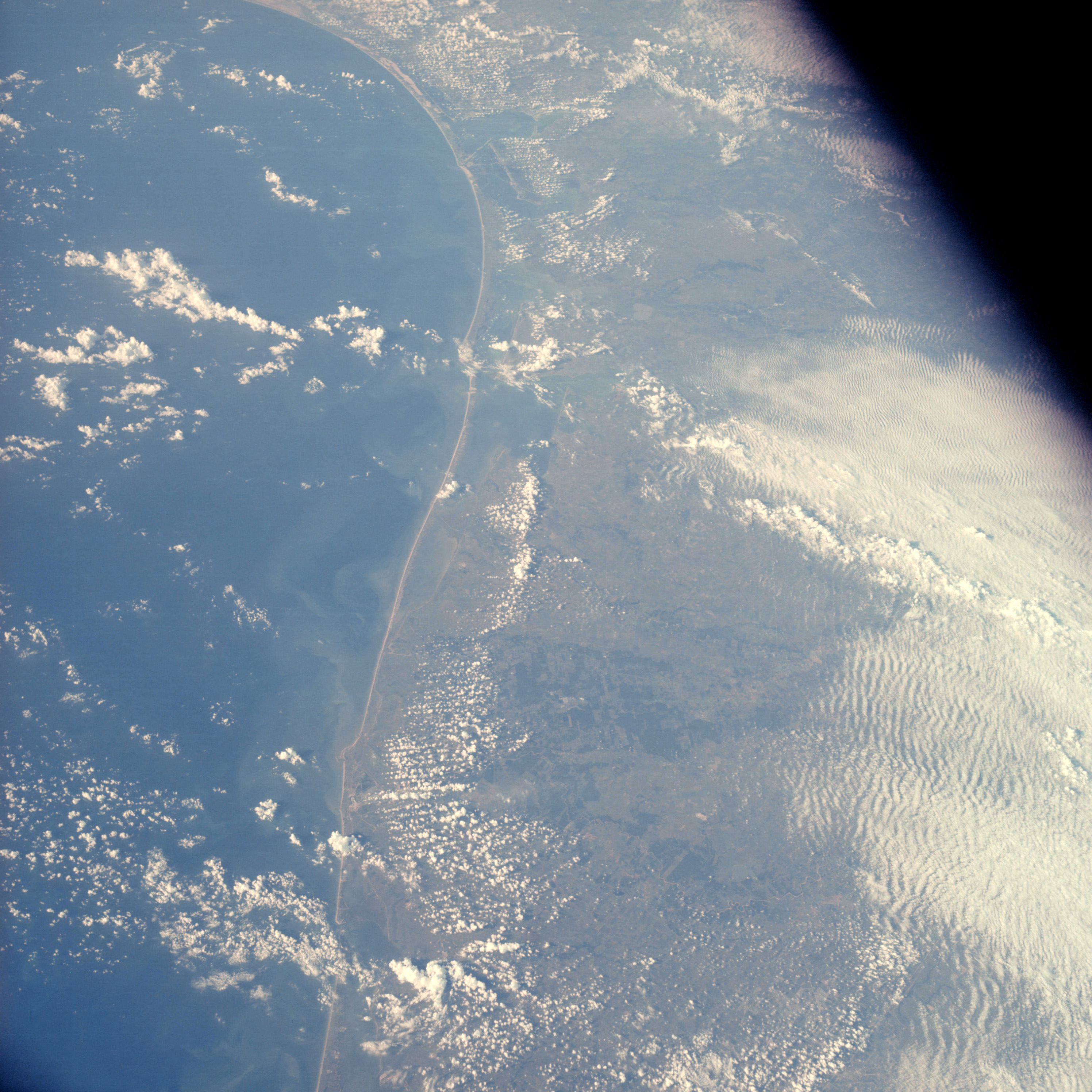 | AS07-06-1720 GEOGRAPHY/CARTOGRAPHY: Texas Gulf Coast, Galveston to Corpus Christi. AGRICULTURE: Extensive cultivation, irrigated grazing. GEOLOGY/HYDROLOGY: Coastal plain region with a shoreline of emergence. FORESTRY: Mixed hardwood-conifer forests changing to grass and shrubform along coast. METEOROLOGY: Cumulus, strato-cumulus. Image credit: Image Science and Analysis Laboratory, NASA-Johnson Space Center. |
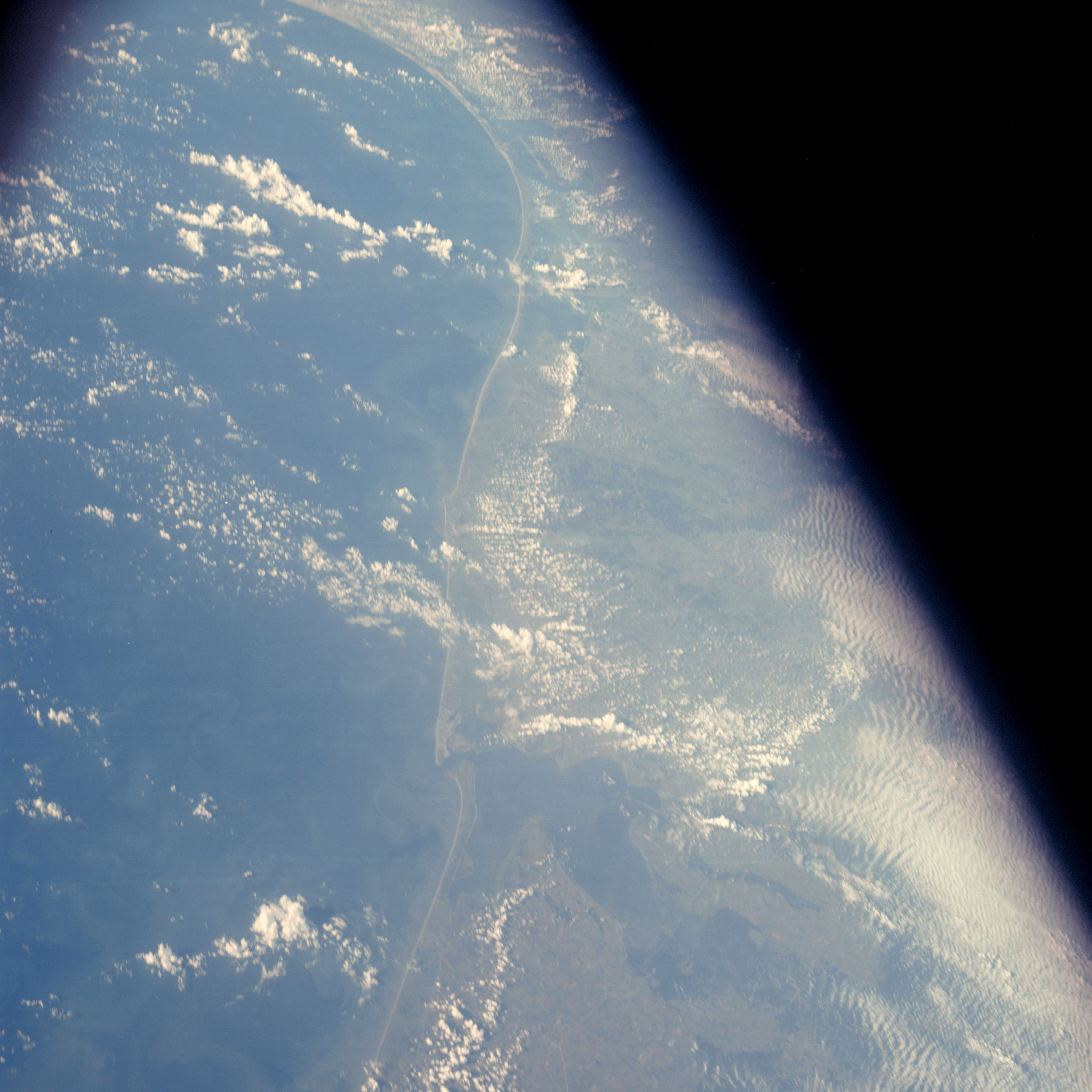 | AS07-06-1721 GEOGRAPHY/CARTOGRAPHY: Texas Gulf Coast, Beaumont to Corpus Christi. AGRICULTURE: Extensive cultivation, irrigated, grazing. GEOLOGY/HYDROLOGY: Coastal plain region with a shoreline of emergence. FORESTRY: Mixed hardwood-conifer forests changing to grass. METEOROLOGY: Cumulus, strato-cumulus. OCEANOGRAPHY: Excellent sediment flows into Gulf from rivers, Galveston Bay. Image credit: Image Science and Analysis Laboratory, NASA-Johnson Space Center. |
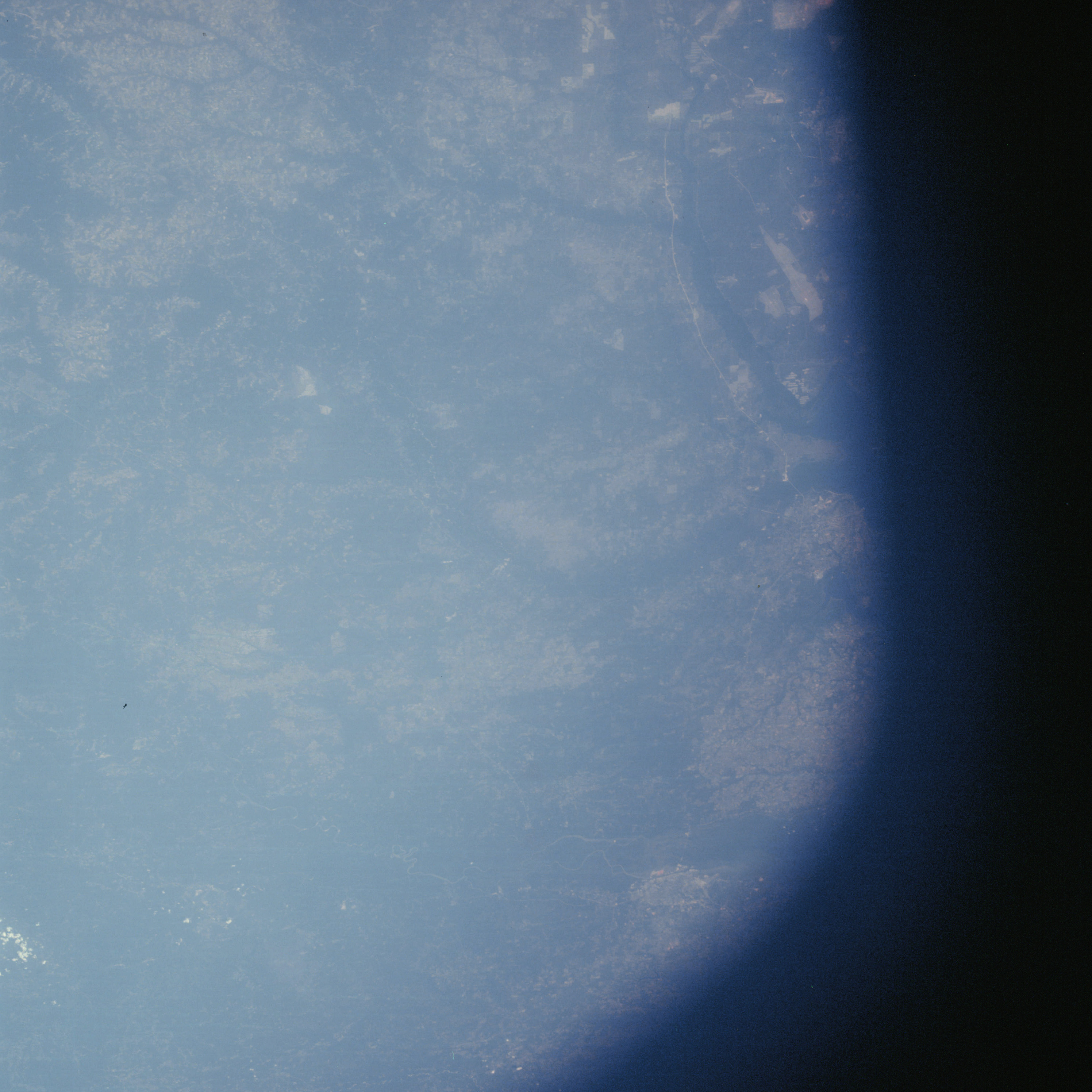 | AS07-06-1722 GEOGRAPHY/CARTOGRAPHY: Mobile, Alabama. Pensacola, Florida. AGRICULTURE: Field patterns near Pensacola. GEOLOGY/HYDROLOGY: Gulf coastal plain of sedimentary bed. FORESTRY: Mixed conifer-hardwood forests. METEOROLOGY: Small scattered cumulus. Image credit: Image Science and Analysis Laboratory, NASA-Johnson Space Center. |
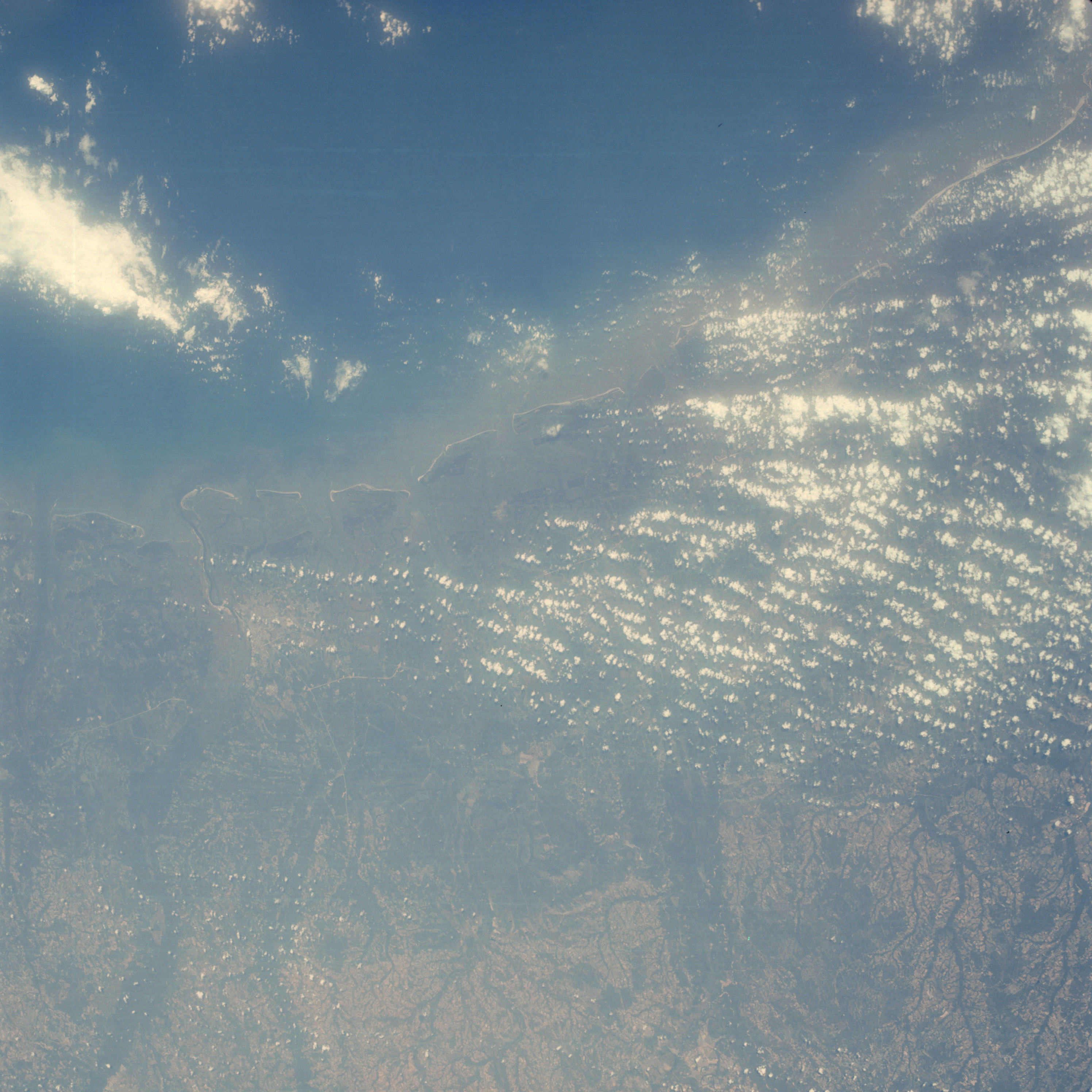 | AS07-06-1723 GEOGRAPHY/CARTOGRAPHY: Georgia coast. Savannah. AGRICULTURE: Extensive cultivation, scattered definable field patterns. GEOLOGY/HYDROLOGY: Atlantic Coastal Plain with a shoreline of emergence and perennial drainage inland. FORESTRY: Mixed conifer-hardwood, dense hardwood growth in bottom lands. OCEANOGRAPHY: Fresh-salt water interfaces with an abundance of sediment flows. Image credit: Image Science and Analysis Laboratory, NASA-Johnson Space Center. |
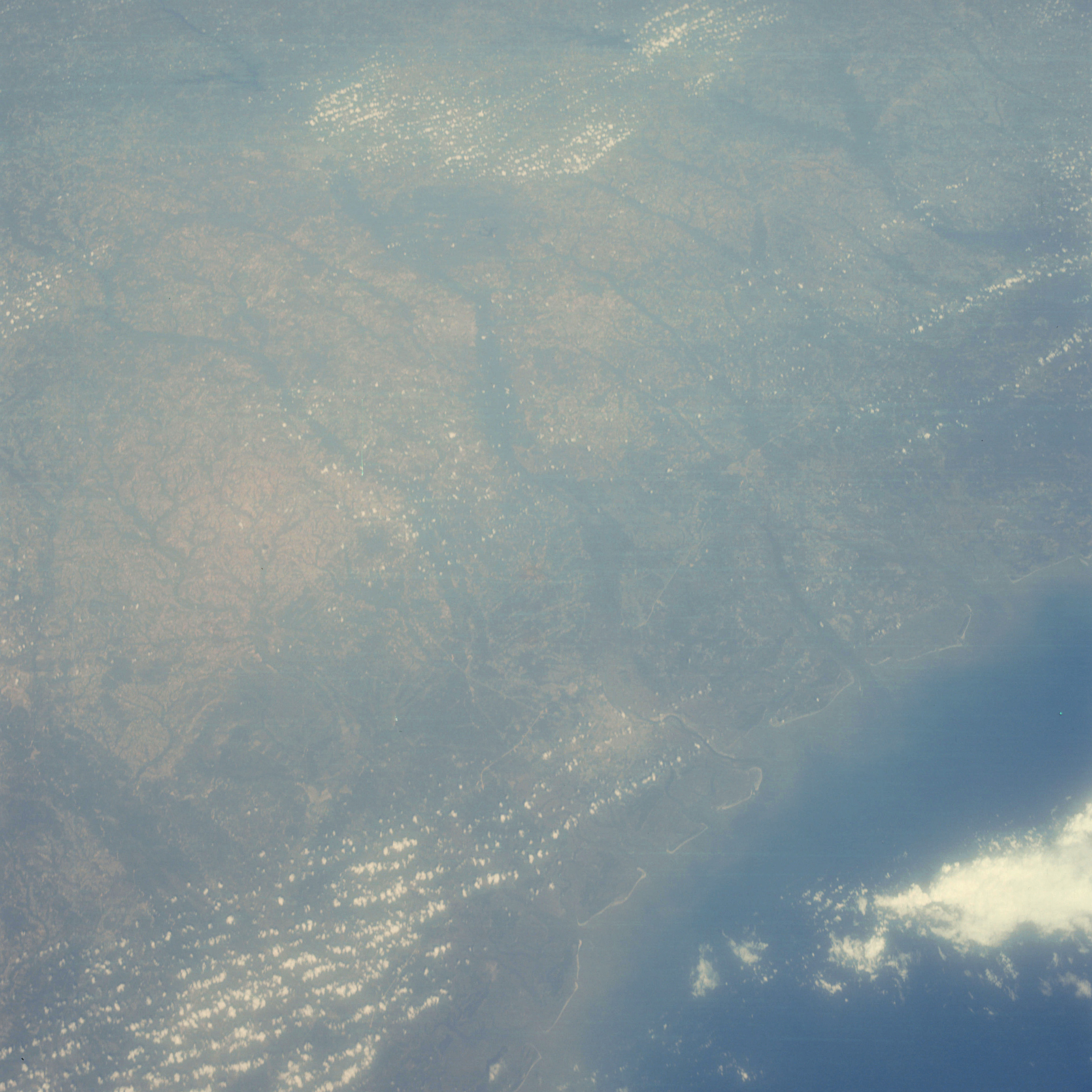 | AS07-06-1724 GEOGRAPHY/CARTOGRAPHY: Georgia coast. Savannah. AGRICULTURE: Extensive cultivation, but scattered definable field patterns. GEOLOGY/HYDROLOGY: Atlantic Coastal Plain and shoreline of emergence. FORESTRY: Mixed conifer-hardwood, dense hardwood growth in bottomlands. METEOROLOGY: Cumulus, alto-cumulus. OCEANOGRAPHY: Fresh-salt water interfaces with an abundance of sediment flows. Image credit: Image Science and Analysis Laboratory, NASA-Johnson Space Center. |
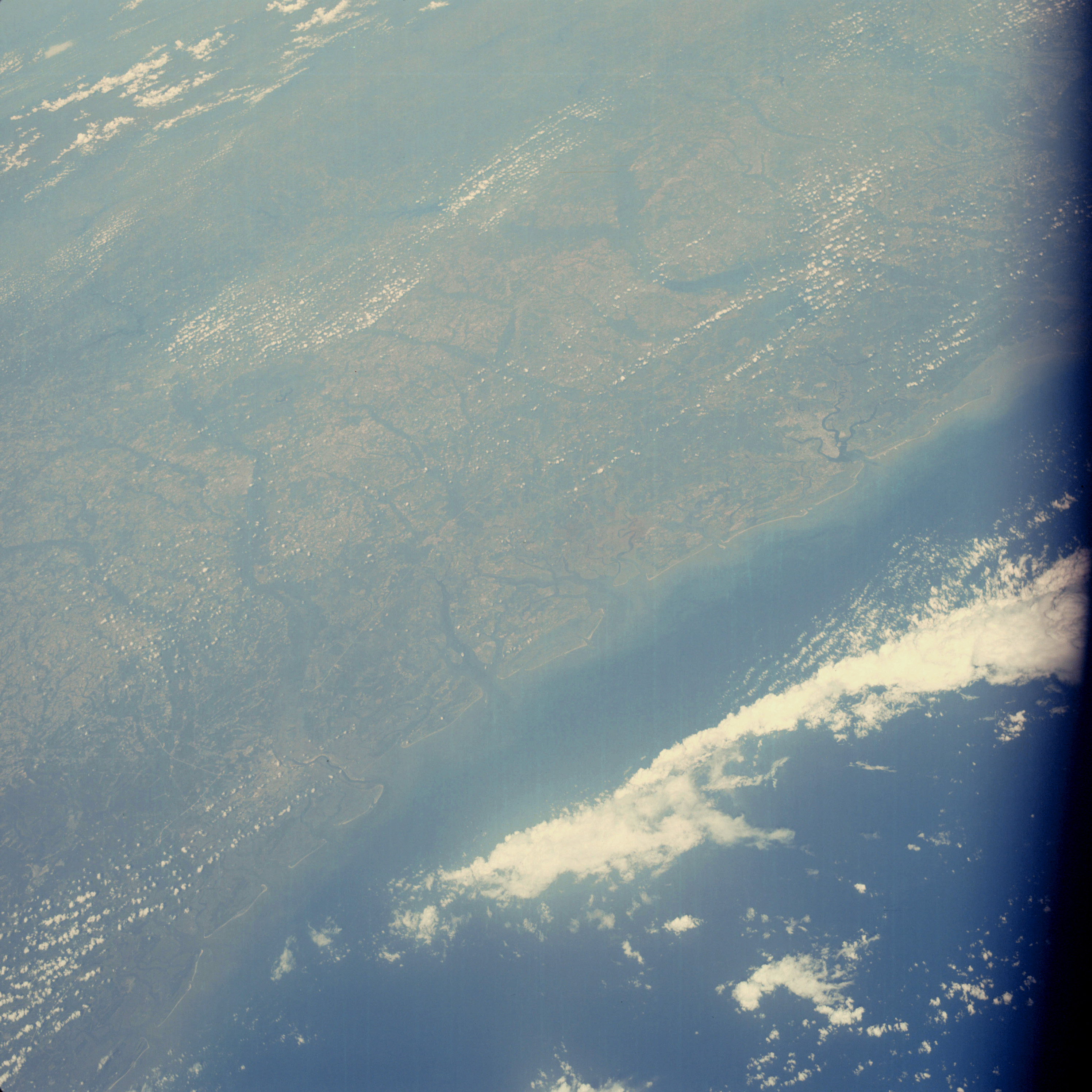 | AS07-06-1725 GEOGRAPHY/CARTOGRAPHY: Georgia and South Carolina coasts. Savannah, Charleston. AGRICULTURE: Extensive cultivation, scattered definable field patterns. GEOLOGY/HYDROLOGY: Atlantic coastal plain and shoreline of emergence. FORESTRY: Mixed conifer~hardwoods, dense hardwood growth in bottomlands. METEOROLOGY: Cumulus, alto-cumulus. OCEANOGRAPHY: Fresh-salt water interfaces showing sediment flow. Image credit: Image Science and Analysis Laboratory, NASA-Johnson Space Center. |
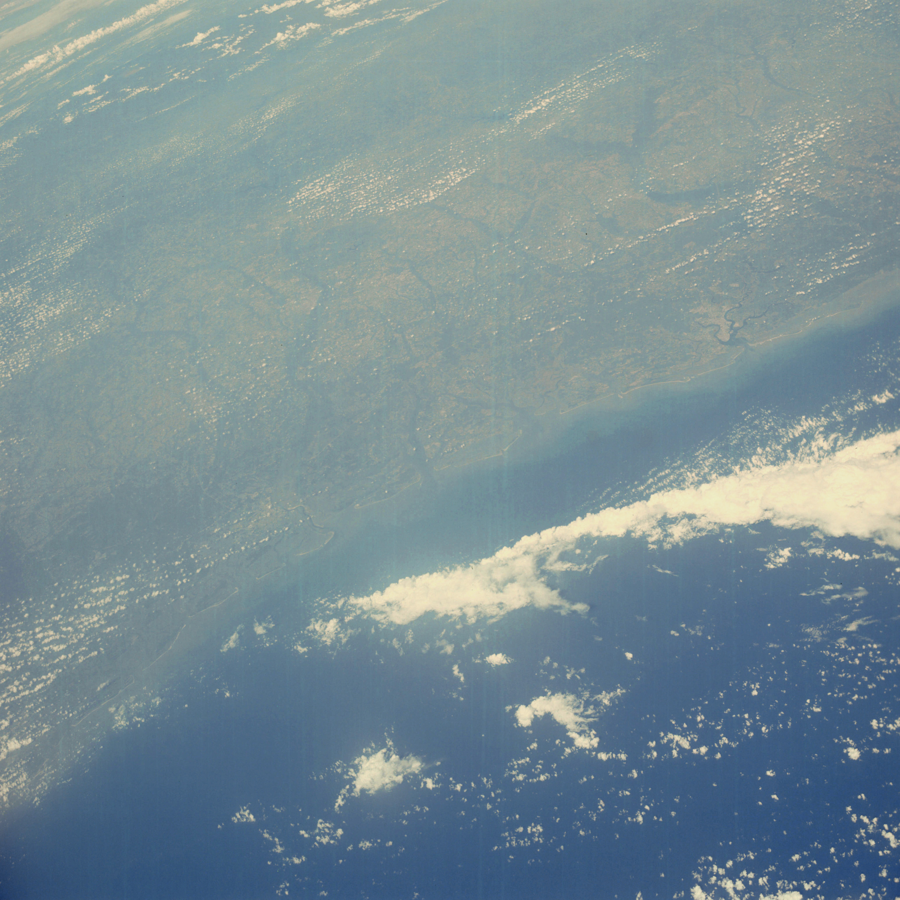 | AS07-06-1726 GEOGRAPHY/CARTOGRAPHY: South Carolina-Georgia coast. Savannah, Charleston. GEOLOGY/HYDROLOGY: Atlantic Coastal Plain and shoreline of emergence. METEOROLOGY: Cumulus, alto-cumulus. OCEANOGRAPHY: Fresh-salt water interfaces showing sediment. Image credit: Image Science and Analysis Laboratory, NASA-Johnson Space Center. |
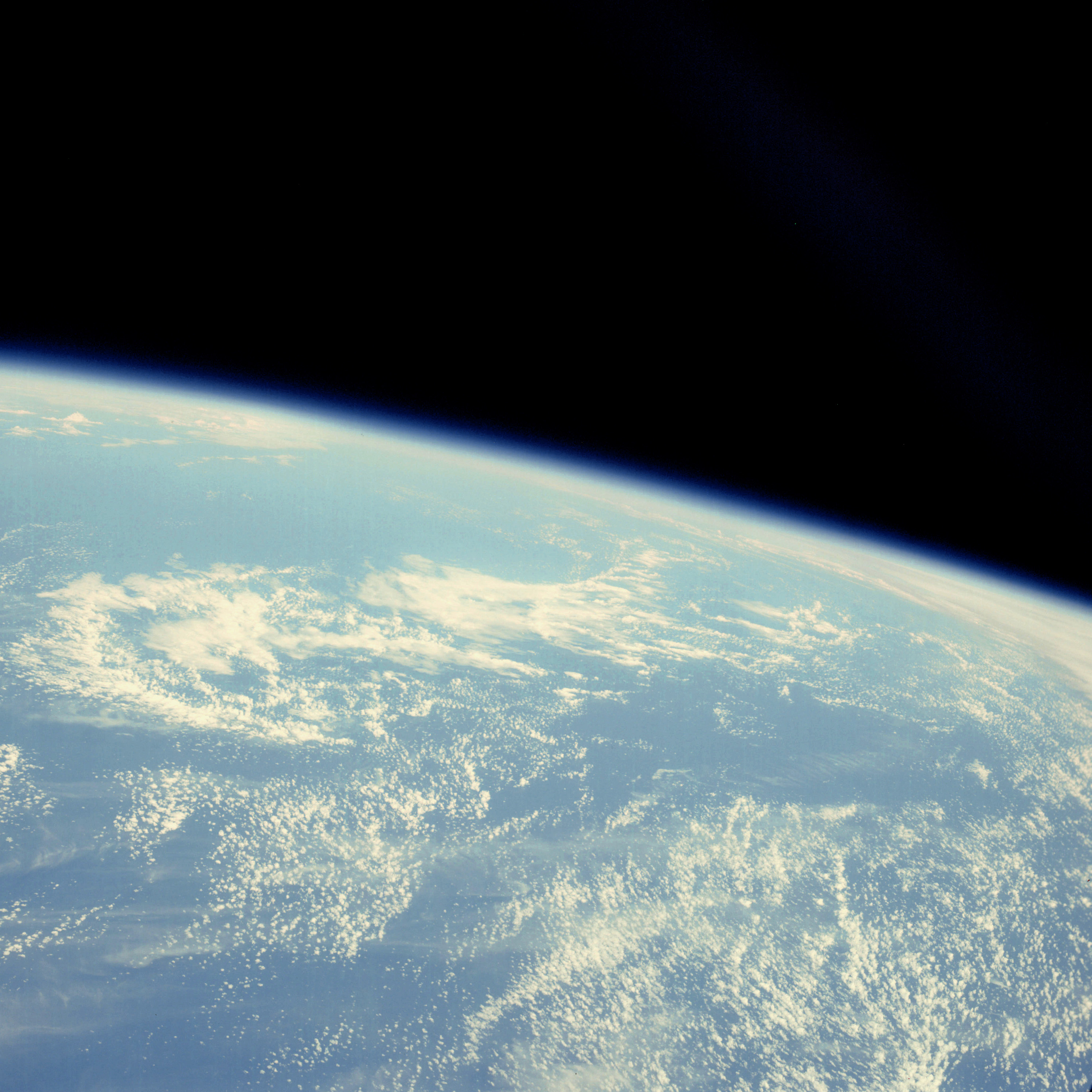 | AS07-06-1727 METEOROLOGY: Cumulus, alto-cumulus. Image credit: Image Science and Analysis Laboratory, NASA-Johnson Space Center. |
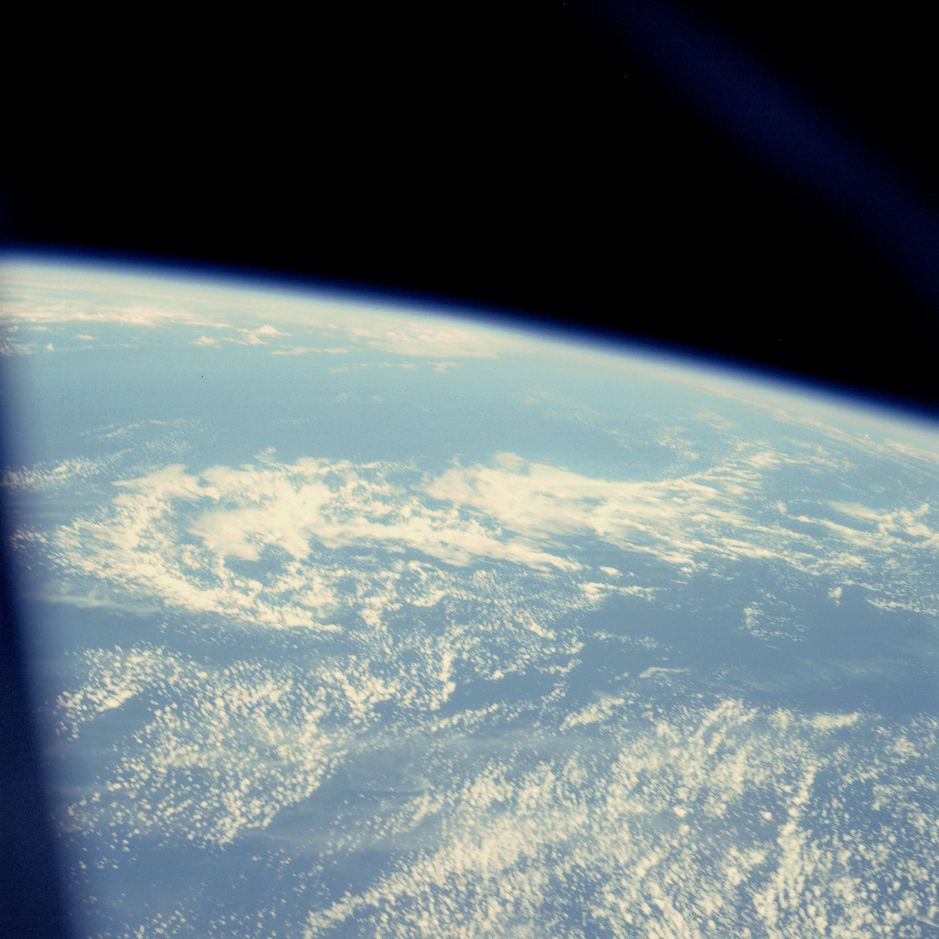 | AS07-06-1728 METEOROLOGY: Cumulus, alto-cumulus. Image credit: Image Science and Analysis Laboratory, NASA-Johnson Space Center. |
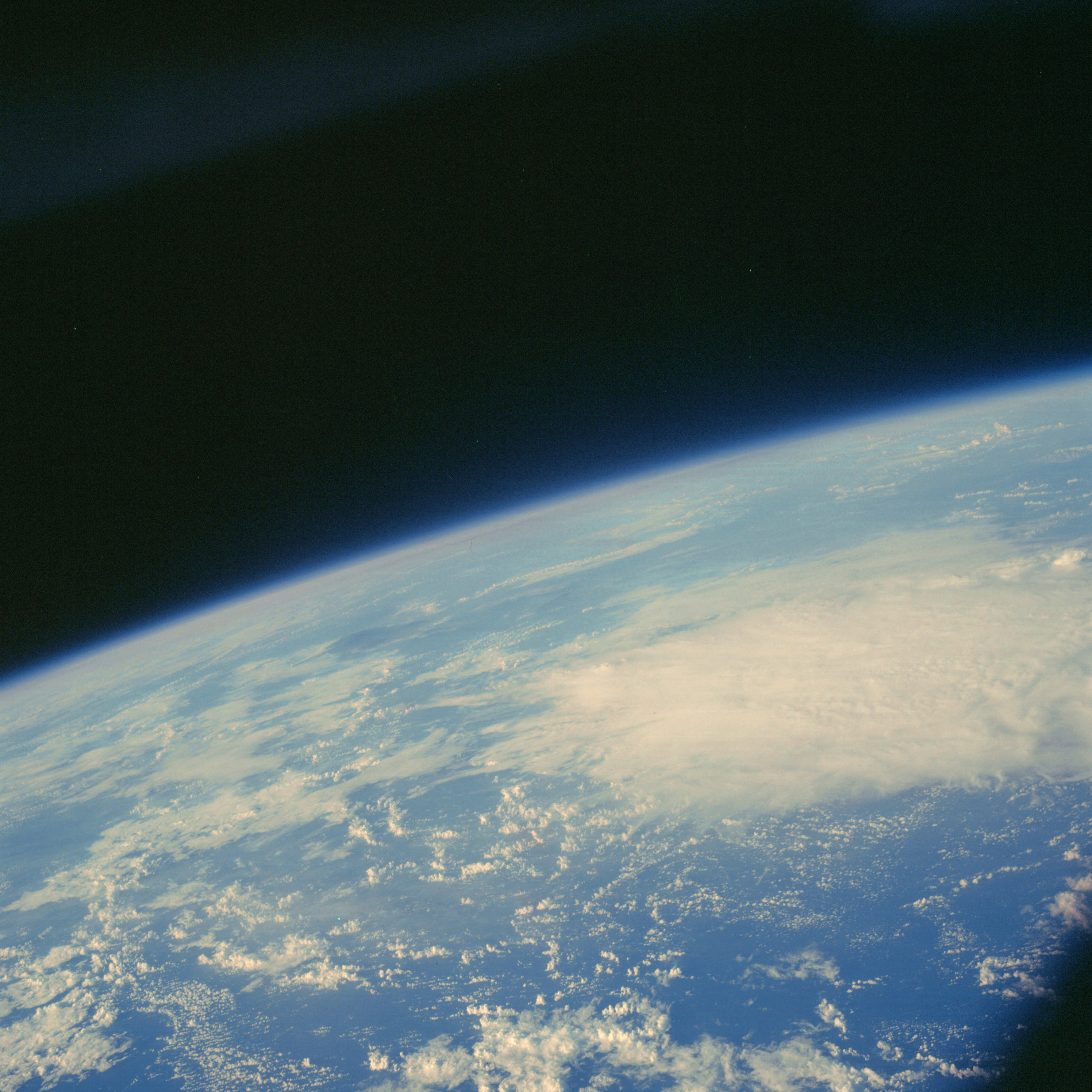 | AS07-06-1729 METEOROLOGY: Cumulus, alto-cumulus. (Dark) Image credit: Image Science and Analysis Laboratory, NASA-Johnson Space Center. |
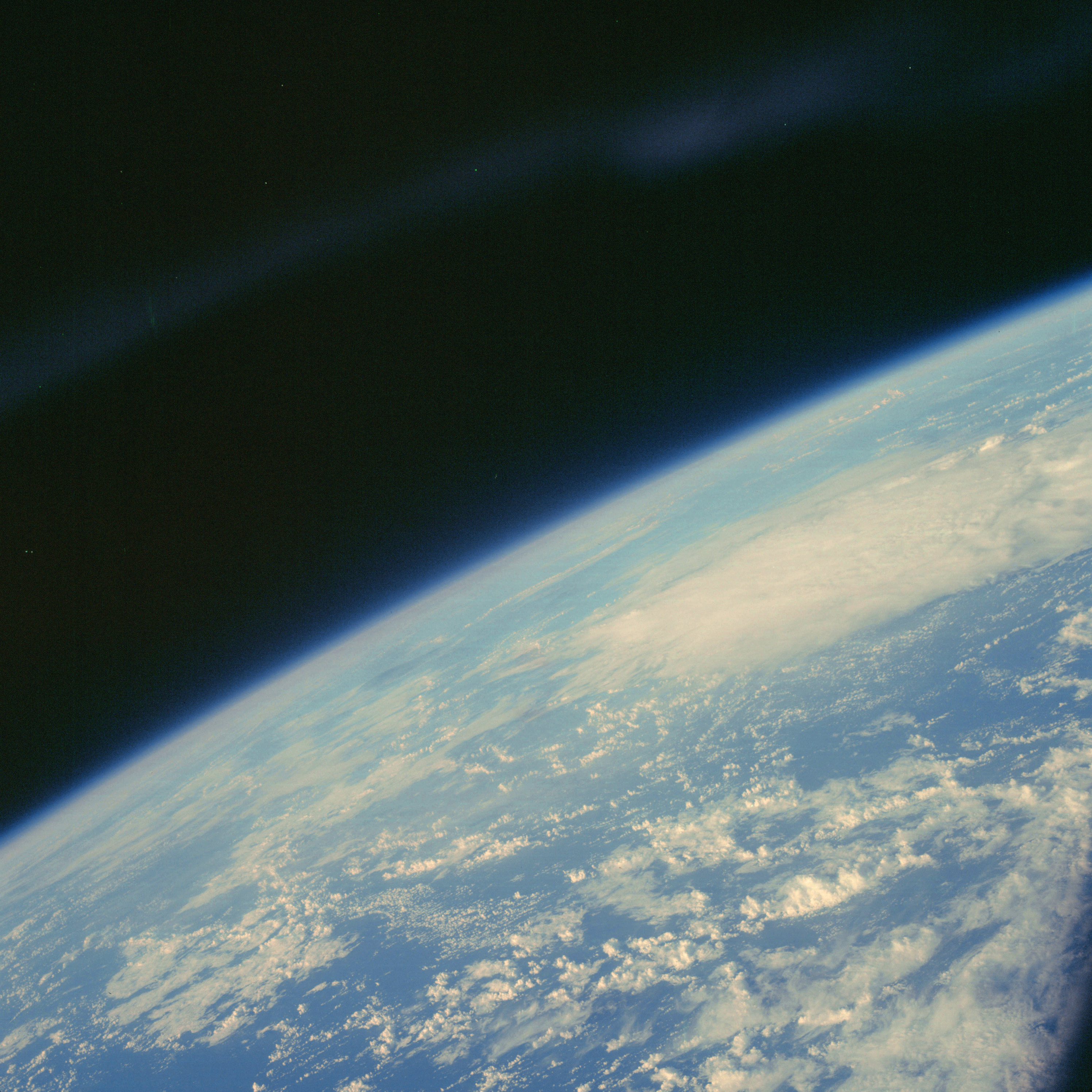 | AS07-06-1730 METEOROLOGY: Cumulus, alto-cumulus. (Dark) Image credit: Image Science and Analysis Laboratory, NASA-Johnson Space Center. |
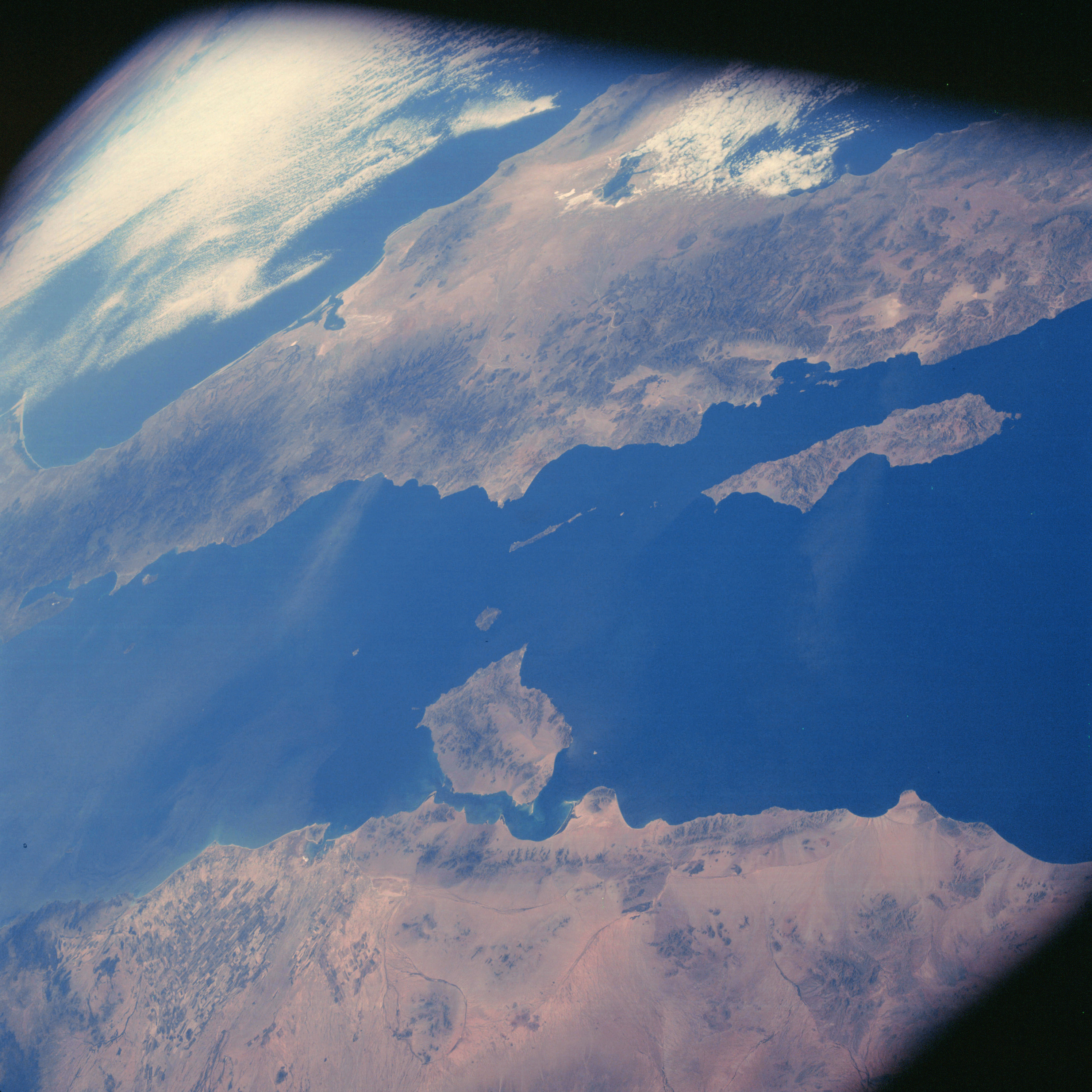 | AS07-06-1731 GEOGRAPHY/CARTOGRAPHY: West coast of Mexico, Gulf of Baja California, Pacific Ocean. (Dark) AGRICULTURE: Extensive area of cultivation along west coast of Mexico. GEOLOGY/HYDROLOGY: Basement complex mountains and elevated alluvial plains. METEOROLOGY: Cumulus, cirrus. OCEANOGRAPHY: Some tonal changes. Image credit: Image Science and Analysis Laboratory, NASA-Johnson Space Center. |
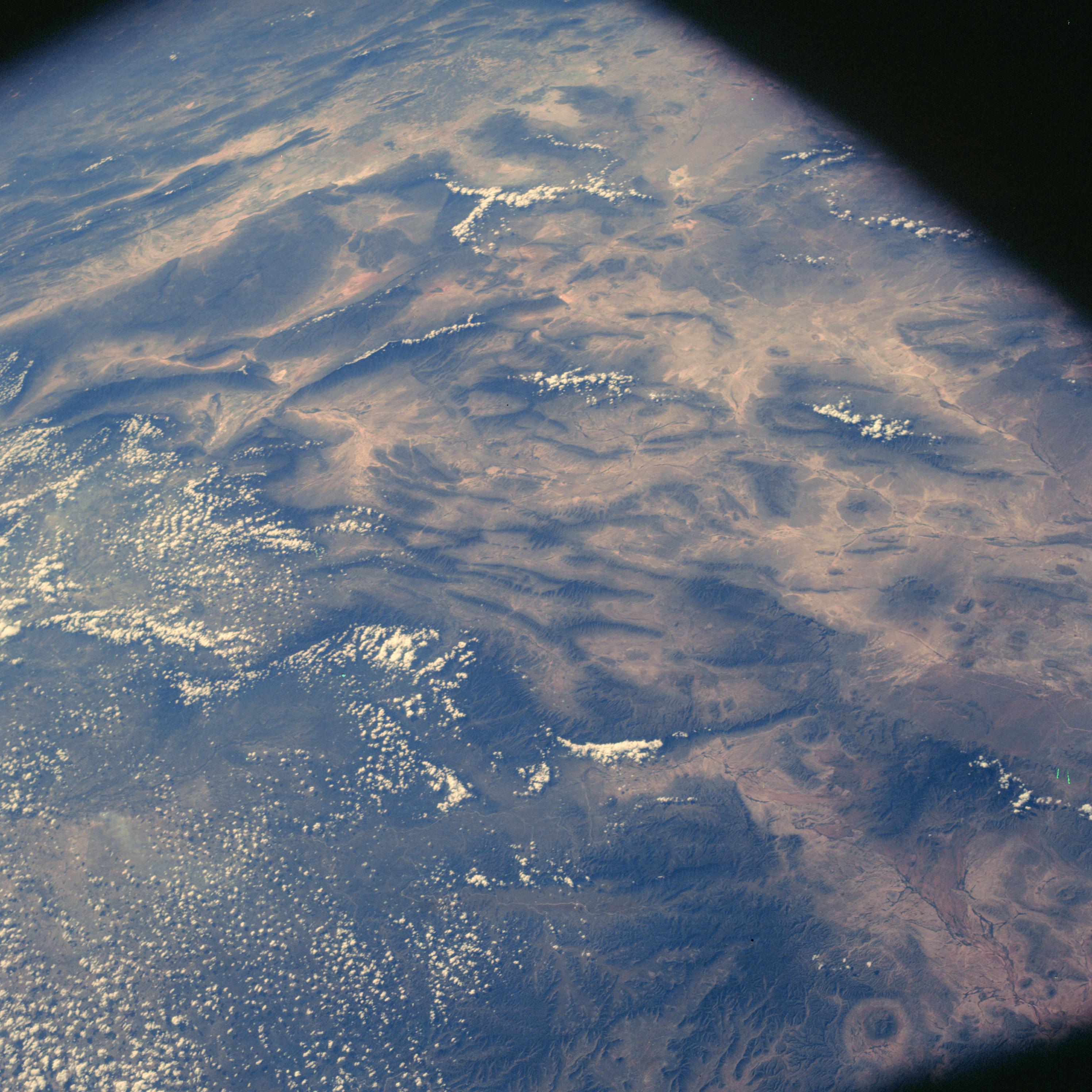 | AS07-06-1732 GEOGRAPHY/CARTOGRAPHY: Mexico, Torreon, Sierra Madre Mountains. (Dark) AGRICULTURE: Cultivation sparse, field patterns discernable near town of Torreon. GEOLOGY/HYDROLOGY: Folded and complex mountain region with intermittent drainage. FORESTRY: Desert shrubform changing to dwarf evergreen at higher elevations. METEOROLOGY: Cumulus. Image credit: Image Science and Analysis Laboratory, NASA-Johnson Space Center. |
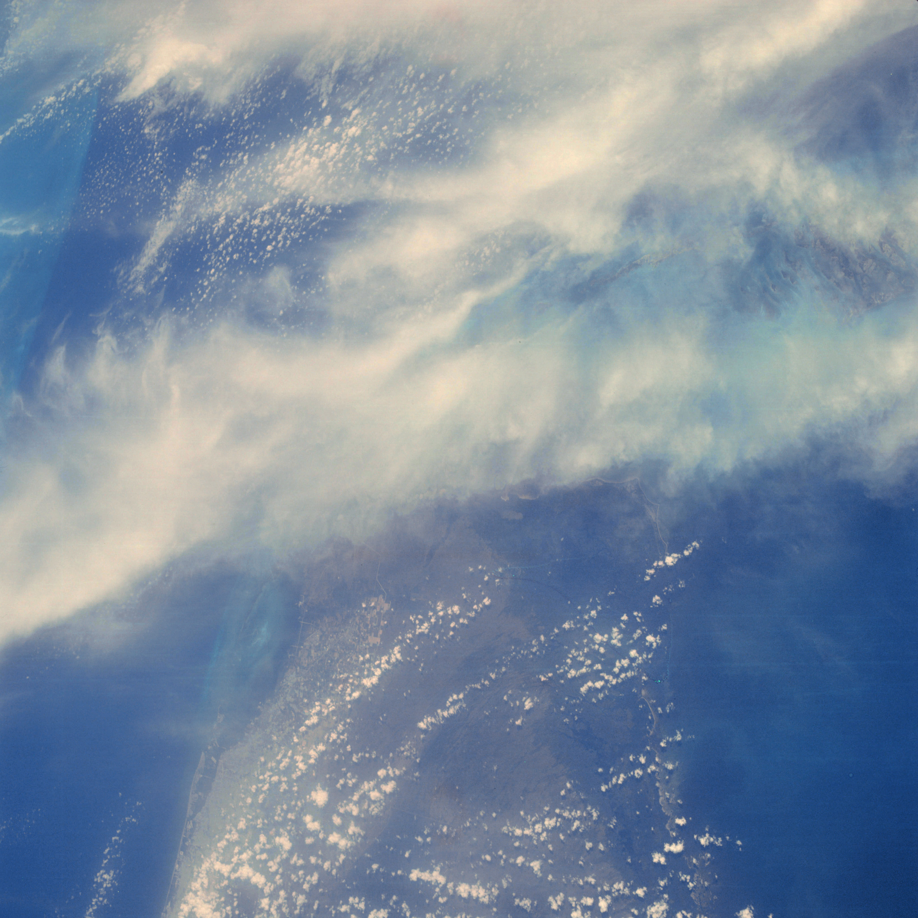 | AS07-06-1733 GEOGRAPHY/CARTOGRAPHY: United States, Miami, Florida Keys, Florida Straits. (Dark) AGRICULTURE: Field patterns near Miami. GEOLOGY/HYDROLOGY: Atlantic Coastal Plain. METEOROLOGY: Cumulus, cirrus. OCEANOGRAPHY: Great Bahama Bank in background. Image credit: Image Science and Analysis Laboratory, NASA-Johnson Space Center. |
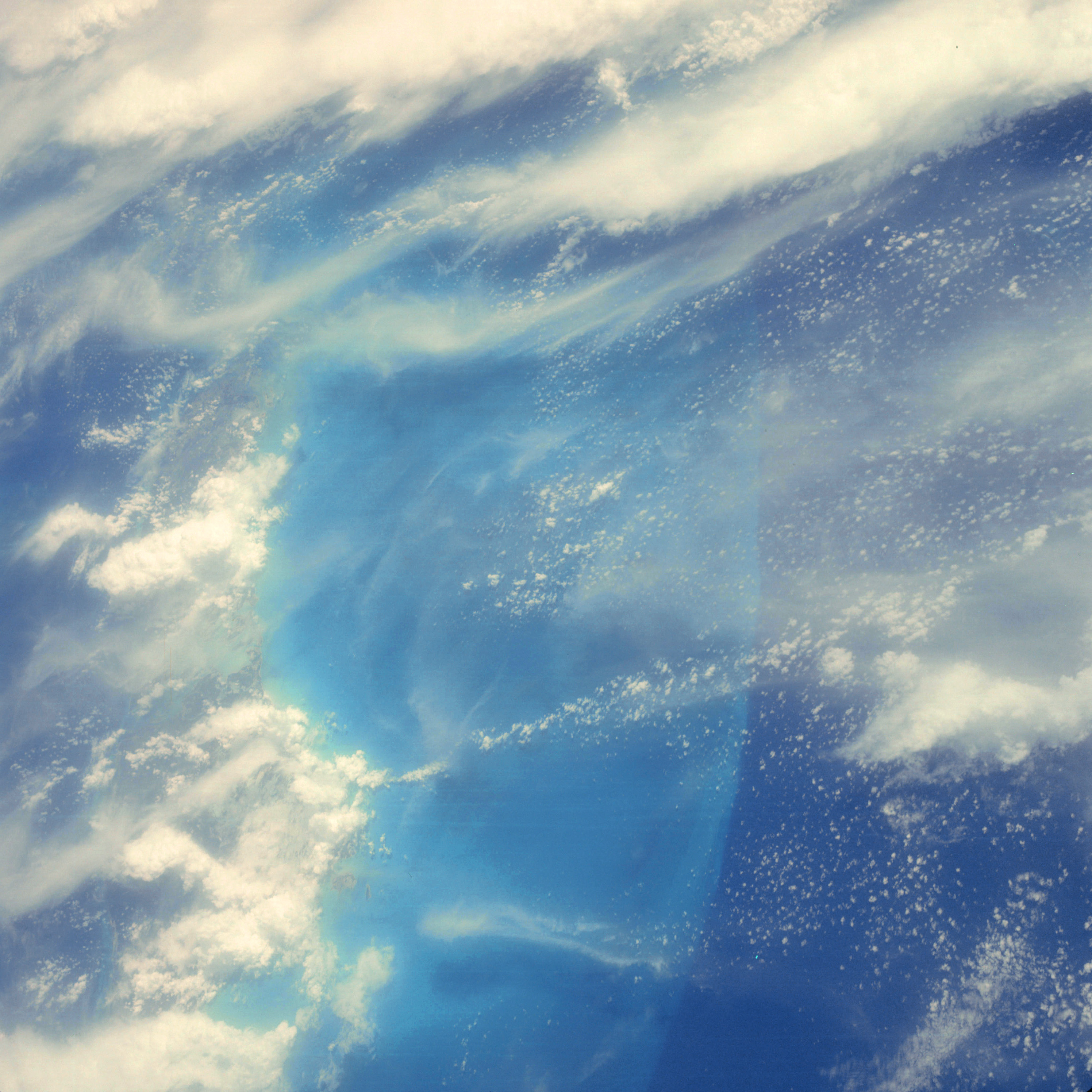 | AS07-06-1734 GEOGRAPHY/CARTOGRAPHY: Bahamas, Andros Island, Williams Island. METEOROLOGY: Cumulus, alto-cumulus, cirrus. OCEANOGRAPHY: Great Bahama Bank. Image credit: Image Science and Analysis Laboratory, NASA-Johnson Space Center. |
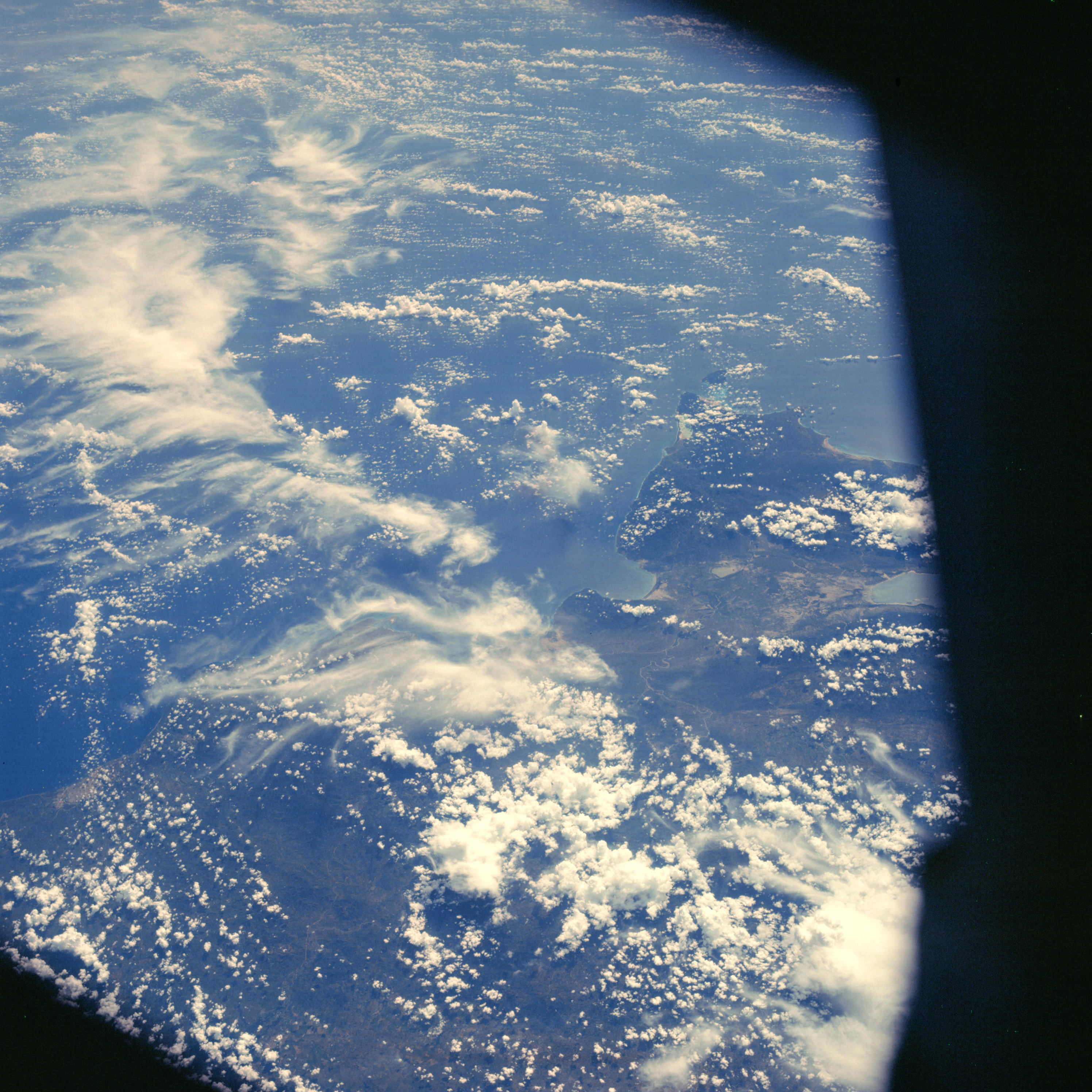 | AS07-06-1735 GEOGRAPHY/CARTOGRAPHY: Dominican Republic, Santa Domingo. (Dark) METEOROLOGY: Towering cumulus, cirrus. OCEANOGRAPHY: Some tonal change. Image credit: Image Science and Analysis Laboratory, NASA-Johnson Space Center. |
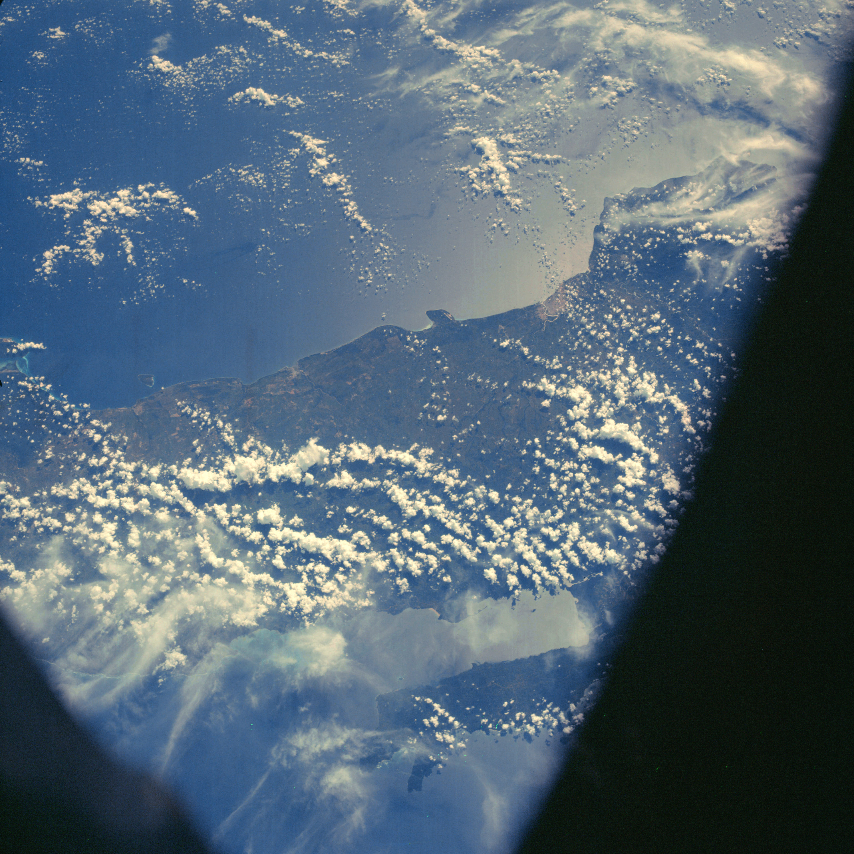 | AS07-06-1736 GEOGRAPHY/CARTOGRAPHY: Dominican Republic. (Dark) AGRICULTURE: Field patterns visible along southern coast. GEOLOGY/HYDROLOGY: Coastal plain region showing perennial drainage. METEOROLOGY: Towering cumulus, cirrus. OCEANOGRAPHY: Sun-glint near Santo Domingo. Image credit: Image Science and Analysis Laboratory, NASA-Johnson Space Center. |
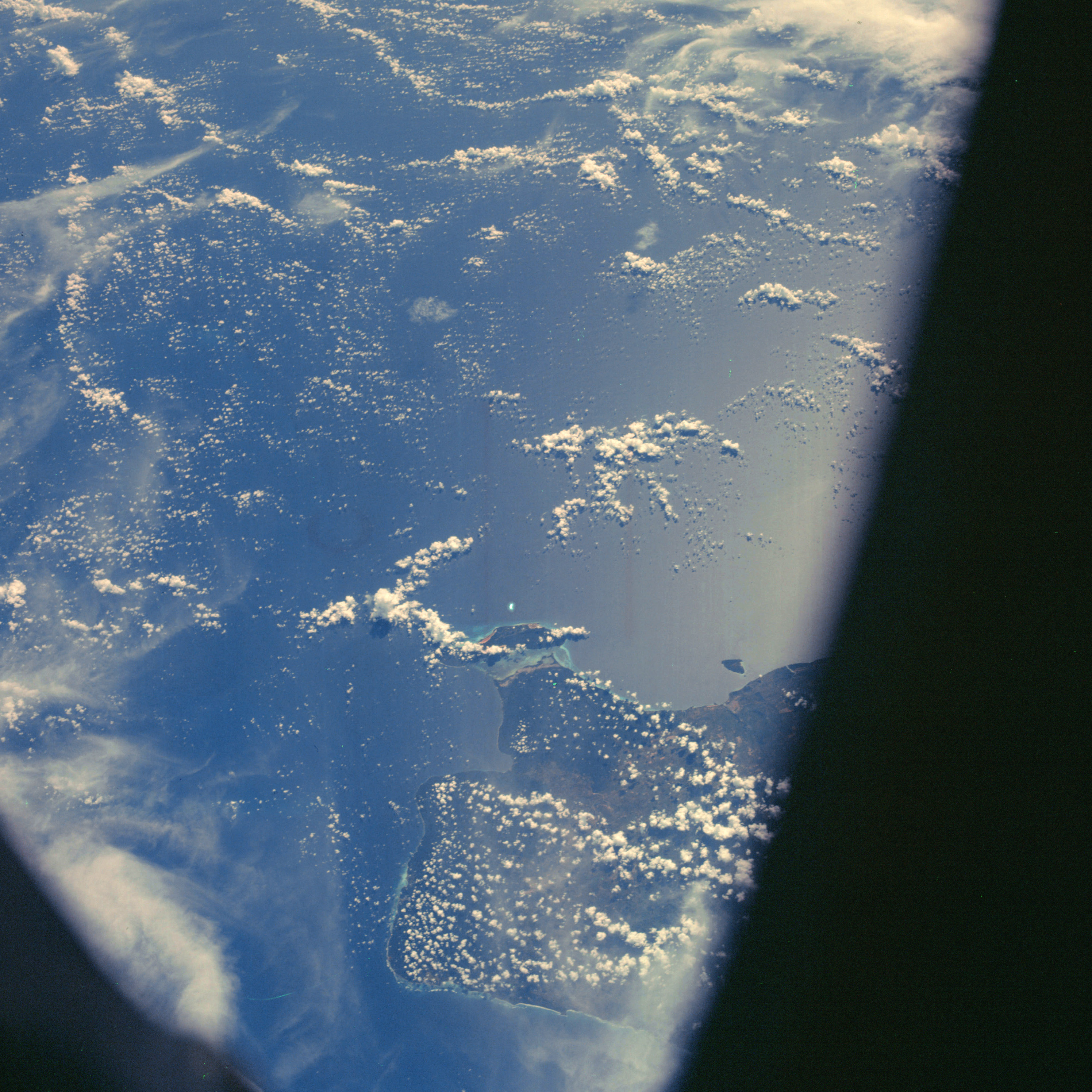 | AS07-06-1737 GEOGRAPHY/CARTOGRAPHY: Dominican Republic, La Romana, Saona Island. (Dark) AGRICULTURE: Some field patterns visible. GEOLOGY/HYDROLOGY: Coastal plain region, METEOROLOGY: Cumulus, cirrus. OCEANOGRAPHY: Sun-glint. Image credit: Image Science and Analysis Laboratory, NASA-Johnson Space Center. |
|
|
|
| 70-mm magazine Q - AS07-05-1613 to 1671 |
Photography Index | 70-mm magazine S - AS07-07-1738 to 1878 |