
 |
 |
| 70-mm magazine U - AS07-10-1949 to 1978 |
Photography Index |
No copyright is asserted for NASA photographs. If a recognizable person appears in a photo, use for commercial purposes may infringe a right of privacy or publicity. Photos may not be used to state or imply the endorsement by NASA or by any NASA employee of a commercial product, process or service, or used in any other manner that might mislead. Accordingly, it is requested that if a NASA photograph is used in advertising and other commercial promotion, layout and copy be submitted to NASA prior to release. NASA photos reproduced from this archive should include photo credit to "NASA" or "National Aeronautics and Space Administration" and should include scanning credit to the appropriate individuals or agencies as noted in the captions.
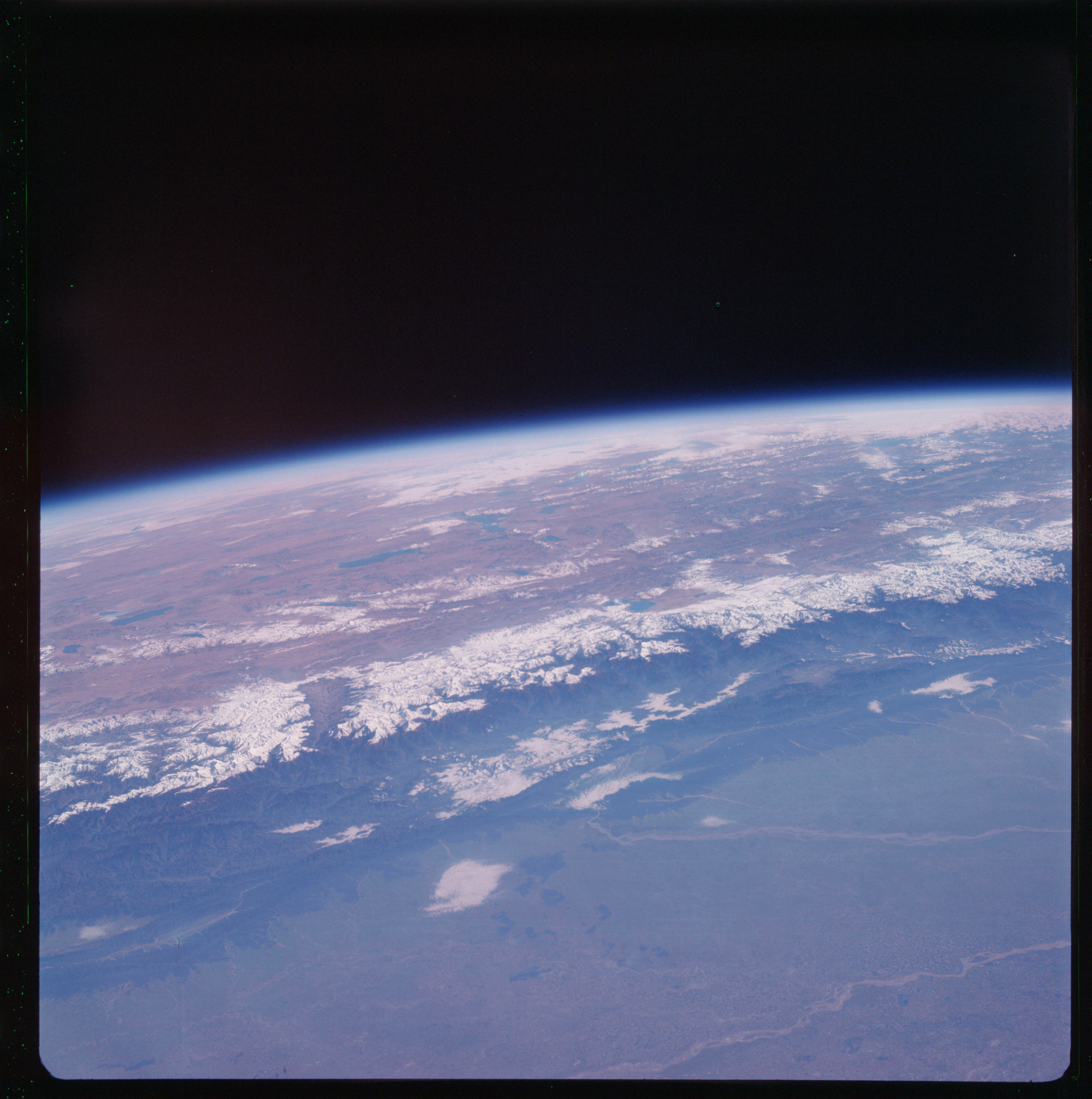 | AS07-11-1979 GEOGRAPHY/CARTOGRAPHY: India, Nepal, Tibet, Gorakhpur in India; Ghaghra and Gandak Rivers, Ganges Plains, Himalayas. GEOLOGY/HYDROLOGY: Ganges interior alluvial plains and basement complex of the Himalayas. The complex Tibet Plateau is in the background, perennial rivers form a braided pattern along the plains. FORESTRY: Savanna grass mixed with deciduous forest stands in flood plain, changing to dense evergreen forest at middle elevations and void of vegetation at higher elevations. METEOROLOGY: Alto-cumulus. Image credit: Image Science and Analysis Laboratory, NASA-Johnson Space Center. |
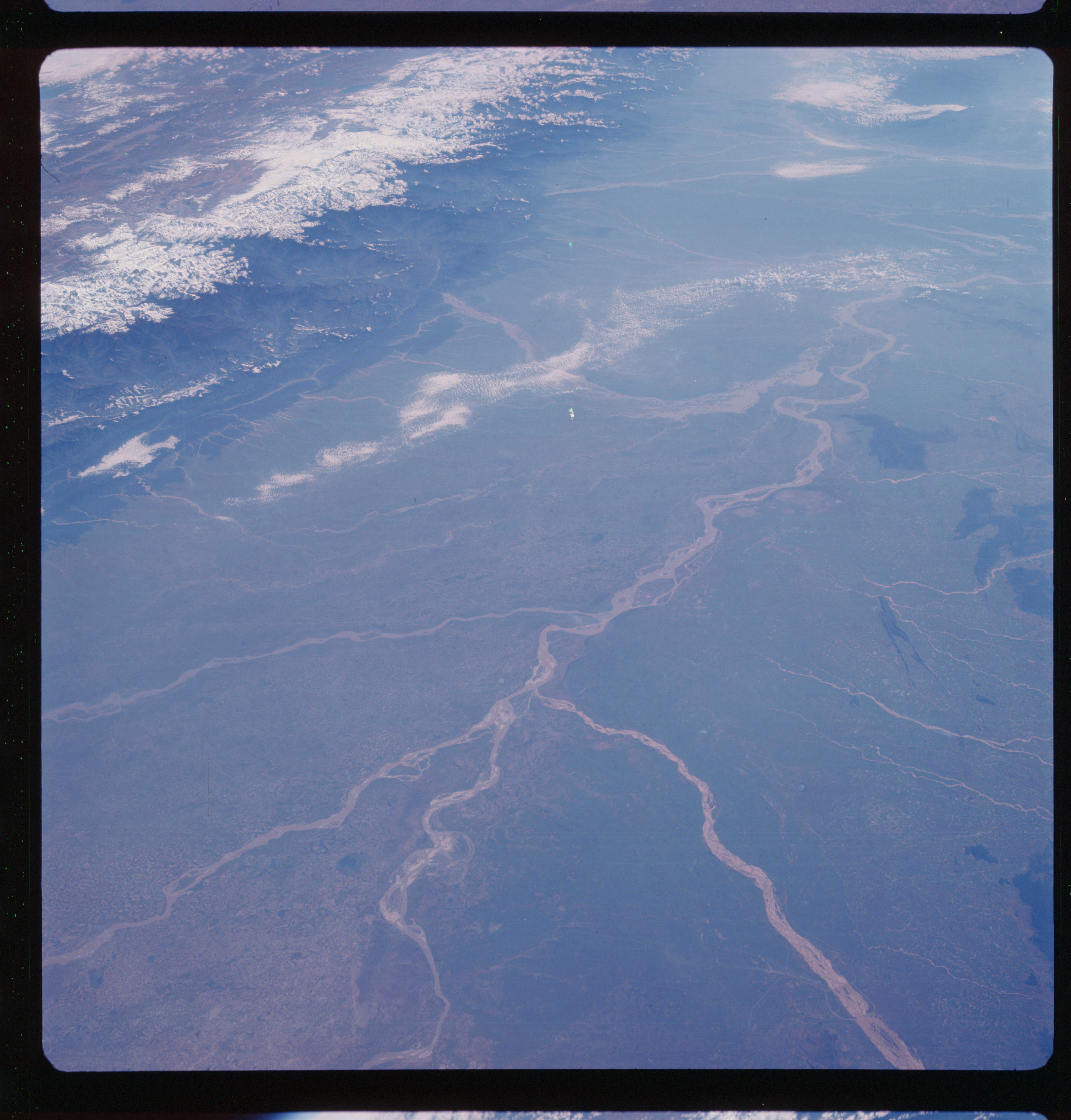 | AS07-11-1980 GEOGRAPHY/CARTOGRAPHY: India, Nepal, Tibet, Pakistan, Patma City, Gaya in India: Ghaghra, Gandak, Son and Ganges River: Ganges Plains and Himalayas. AGRICULTURE: Field patterns recognizable in flood plain. GEOLOGY/HYDROLOGY: Ganges interior alluvial plain and basement complex of the Himalayas. The Ganges River is a perennial braided river. FORESTRY: Savanna grass, semi-dense forests with occasional dense stands in flood plain, changing to dense evergreen stands at higher elevation. METEOROLOGY: Small cumulus, alto-cumulus. Image credit: Image Science and Analysis Laboratory, NASA-Johnson Space Center. |
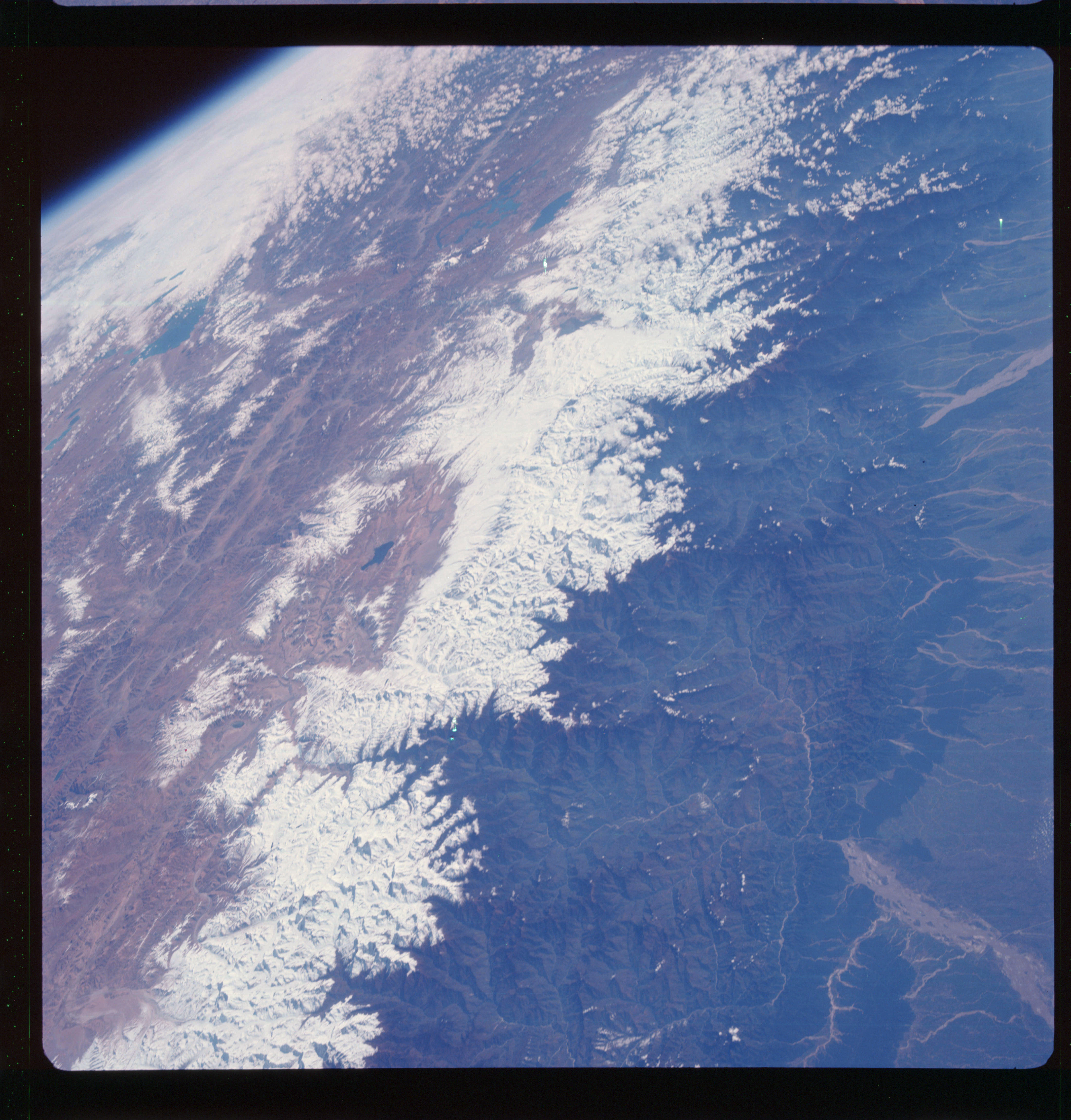 | AS07-11-1981 GEOGRAPHY/CARTOGRAPHY: Nepal, India, China, Bhutan, Himalayas and Tibet Plateau. GEOLOGY/HYDROLOGY: Complex of Himalayas consisting of igneous and sedimentary rocks, Tibet plateau is highly dissected and forms a complex plateau with alluvial deposits. FORESTRY: Dense forest stands along plain and highland contact and up to snow line. Vegetation sparse or lacking in plateau. METEOROLOGY: Alto-cumulus, strato-cumulus. Image credit: Image Science and Analysis Laboratory, NASA-Johnson Space Center. |
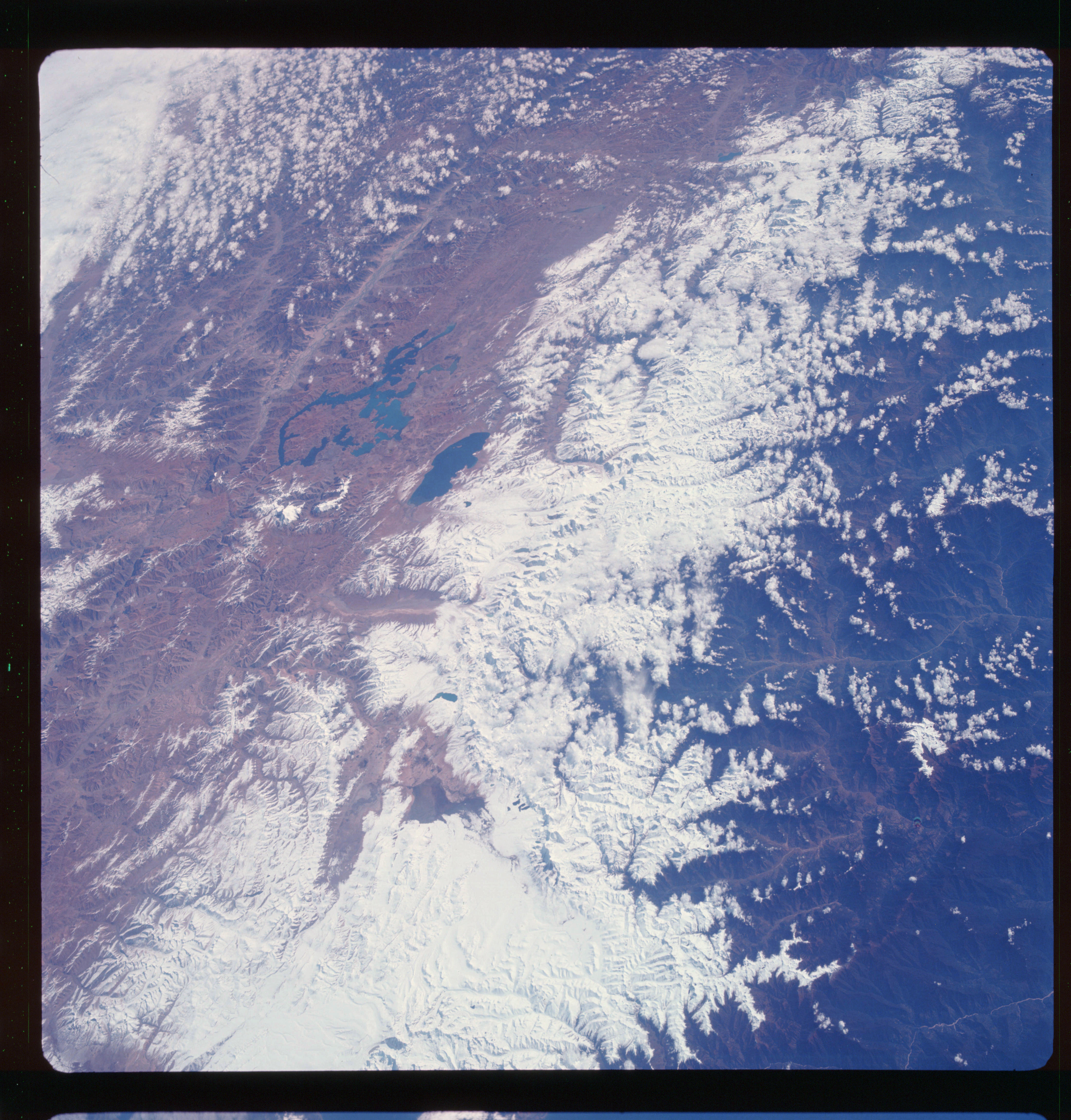 | AS07-11-1982 GEOGRAPHY/CARTOGRAPHY: Bhutan, China, Himalayas and Tibet Plateau. GEOLOGY/HYDROLOGY: Complex mountains of the Himalayas and Tibet Plateau complex. FORESTRY: Dense to semi-dense forest stands below snow line, vegetation sparse or lacking in plateau. METEOROLOGY: Cumulus, alto-cumulus. Image credit: Image Science and Analysis Laboratory, NASA-Johnson Space Center. |
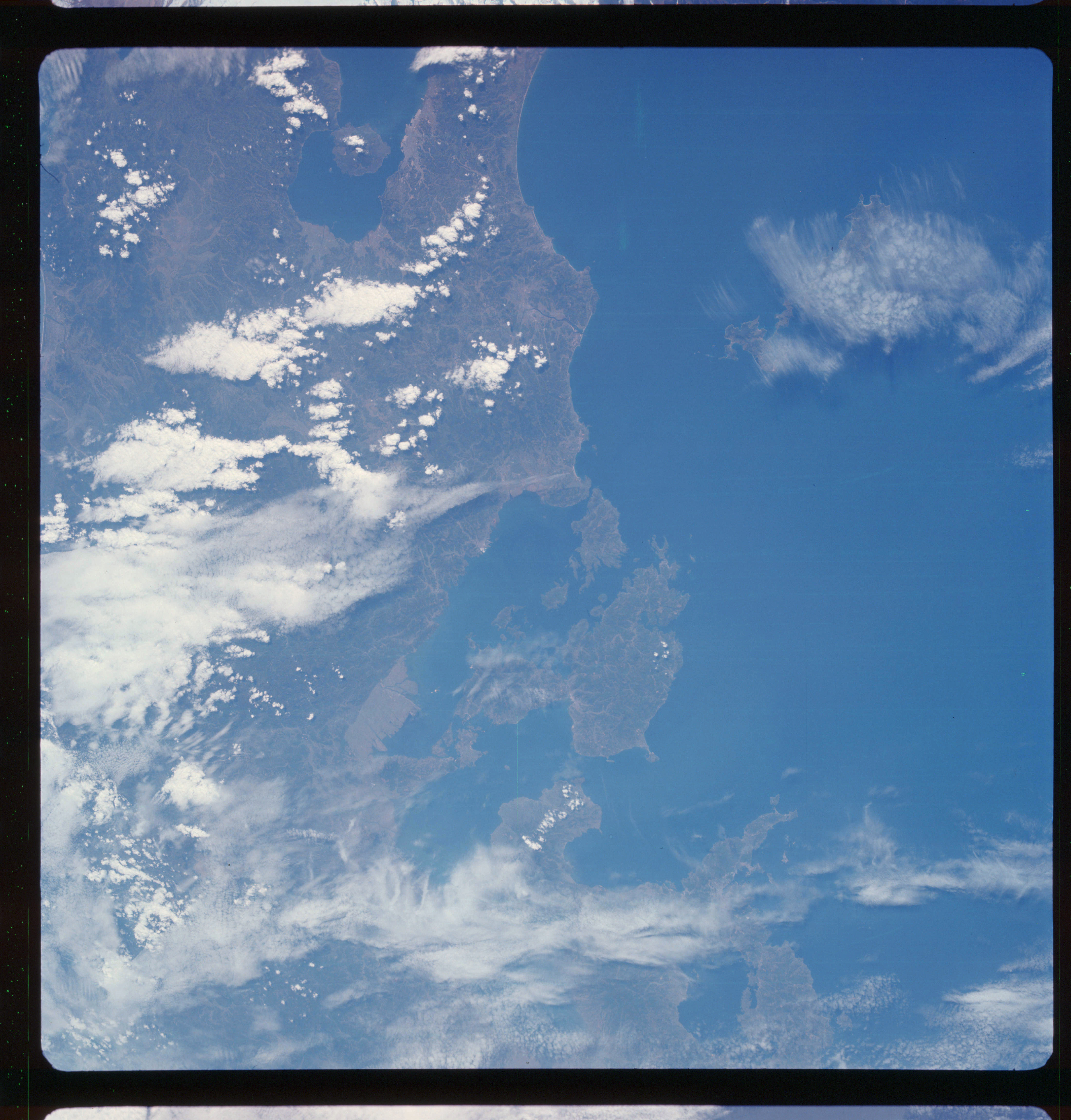 | AS07-11-1983 GEOGRAPHY/CARTOGRAPHY: Japan: Kyushu: Kagoshima; Kagoshima Bay, East China Sea. AGRICULTURE: Sparse, irregular cultivation patterns. GEOLOGY/HYDROLOGY: Complex hills and submerged coastline. FORESTRY: Dense forest stands on slopes, separated by drainage system. METEOROLOGY: Cirrus, alto-cumulus, small cumulus. OCEANOGRAPHY: Off shore sedimentation. Image credit: Image Science and Analysis Laboratory, NASA-Johnson Space Center. |
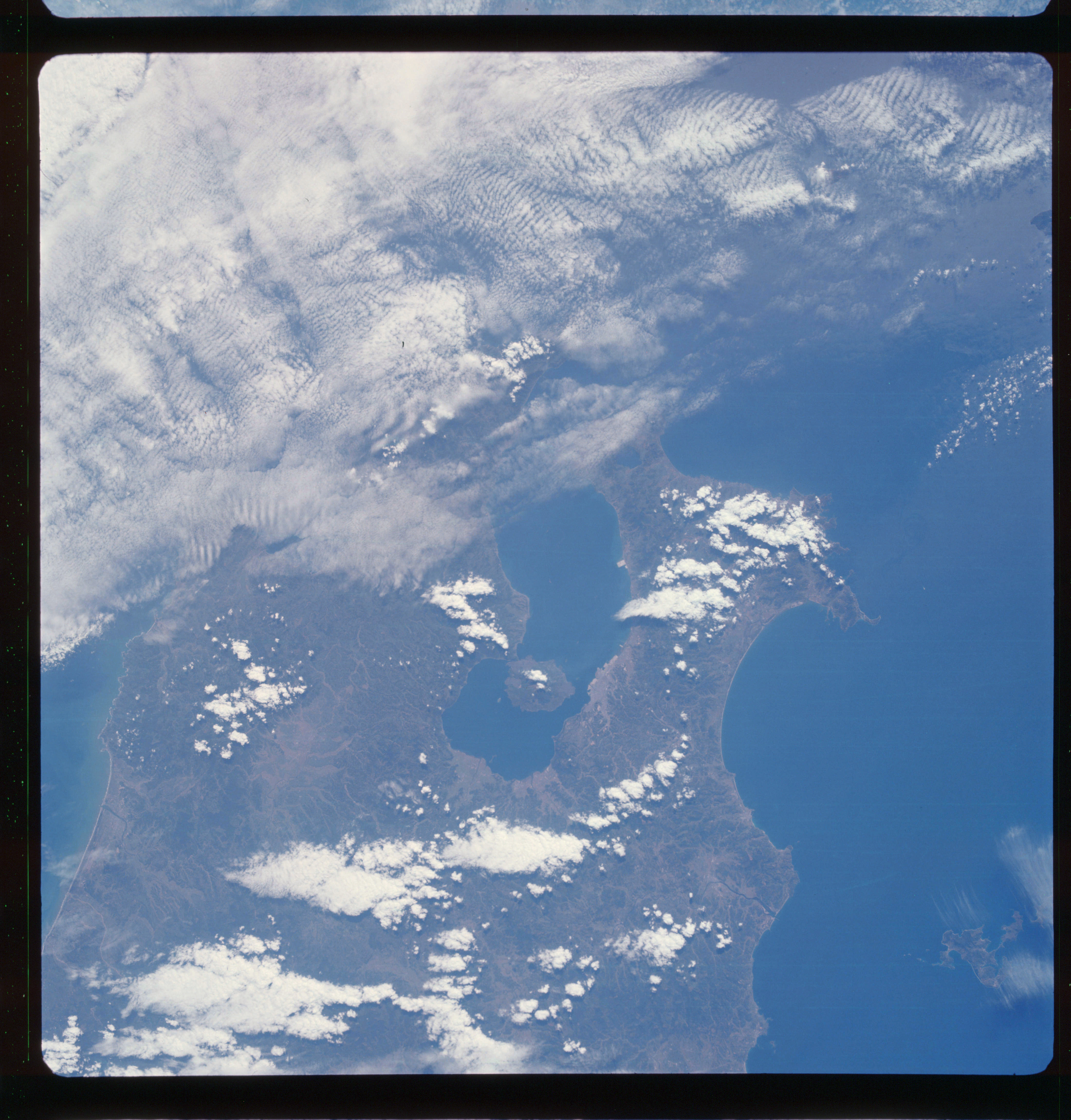 | AS07-11-1984 GEOLOGY/HYDROLOGY: Complex hills and submerged coast line. FORESTRY: Dense forest stands separated by drainage system. METEOROLOGY: Cirrus, alto-cumulus, small cumulus. OCEANOGRAPHY: Off shore sedimentation and currents are sparse. Image credit: Image Science and Analysis Laboratory, NASA-Johnson Space Center. |
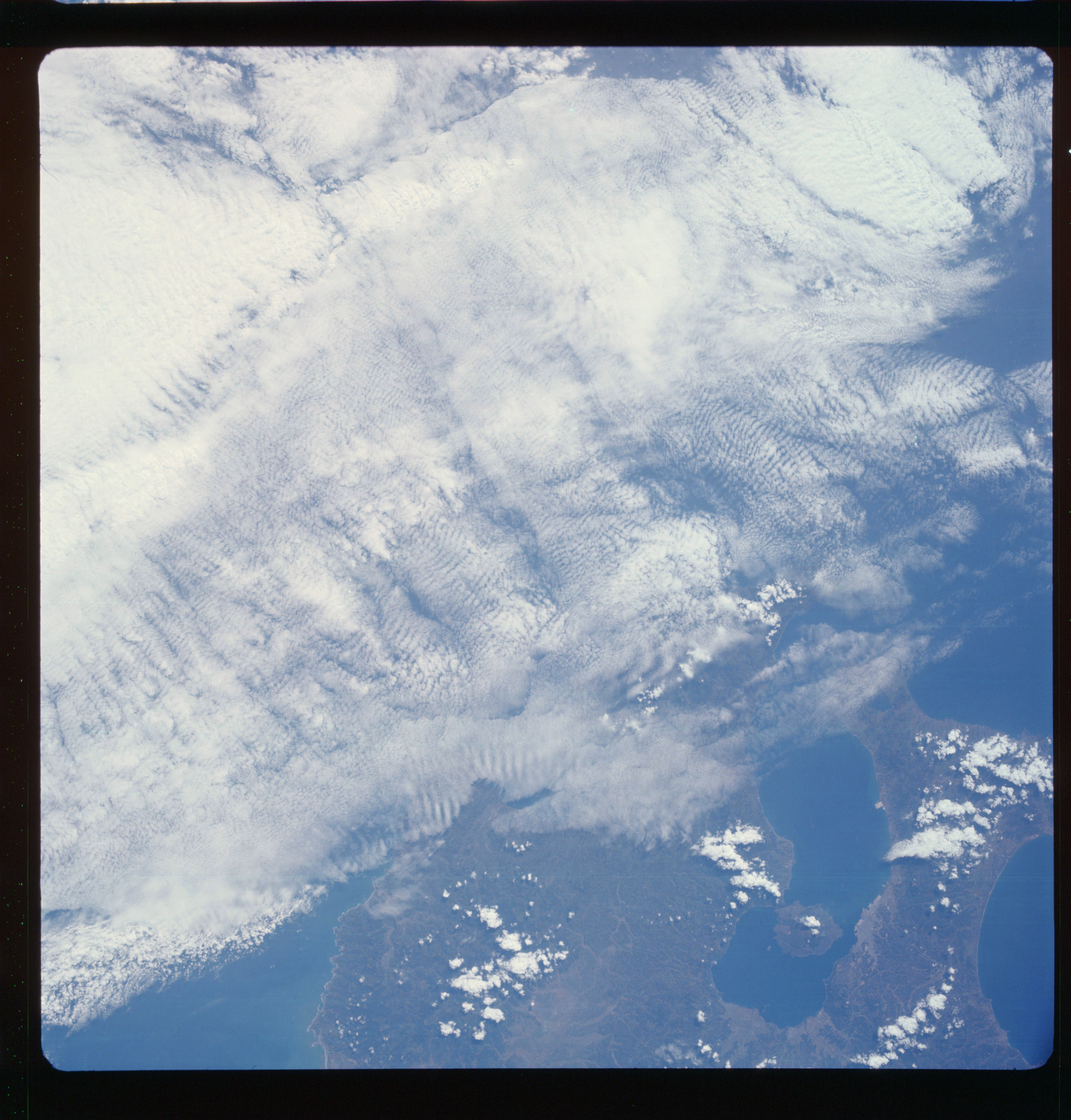 | AS07-11-1985 GEOGRAPHY/CARTOGRAPHY: Japan: Kyushu: Kagoshima, Kagoshima Bay. GEOLOGY/HYDROLOGY: Complex hills and submerged coastline. FORESTRY: Dense forest stands separated by drainage network. METEOROLOGY: Small cumulus, cumulus-nimbus. Image credit: Image Science and Analysis Laboratory, NASA-Johnson Space Center. |
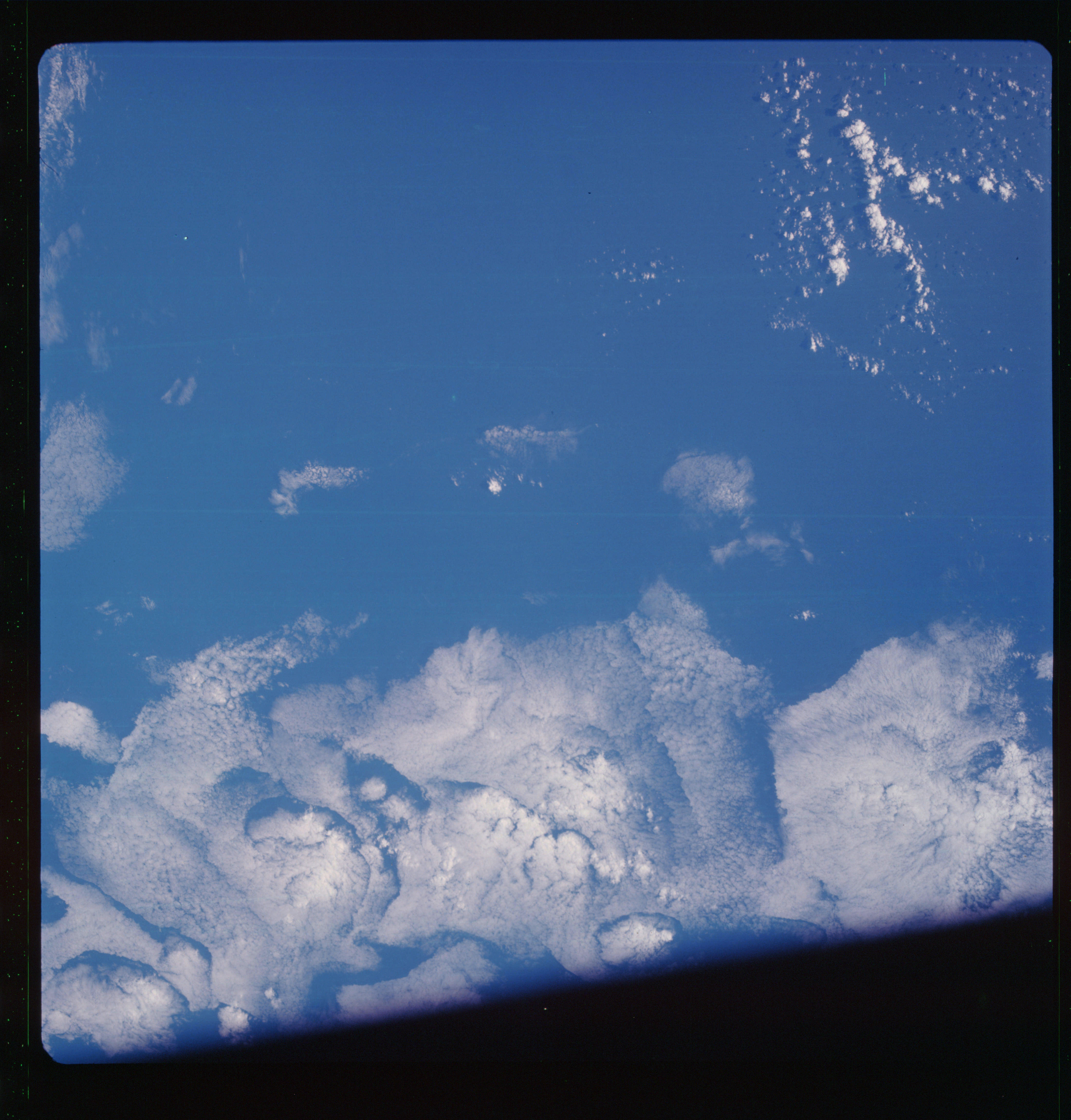 | AS07-11-1986 METEOROLOGY: Strato-cumulus. Image credit: Image Science and Analysis Laboratory, NASA-Johnson Space Center. |
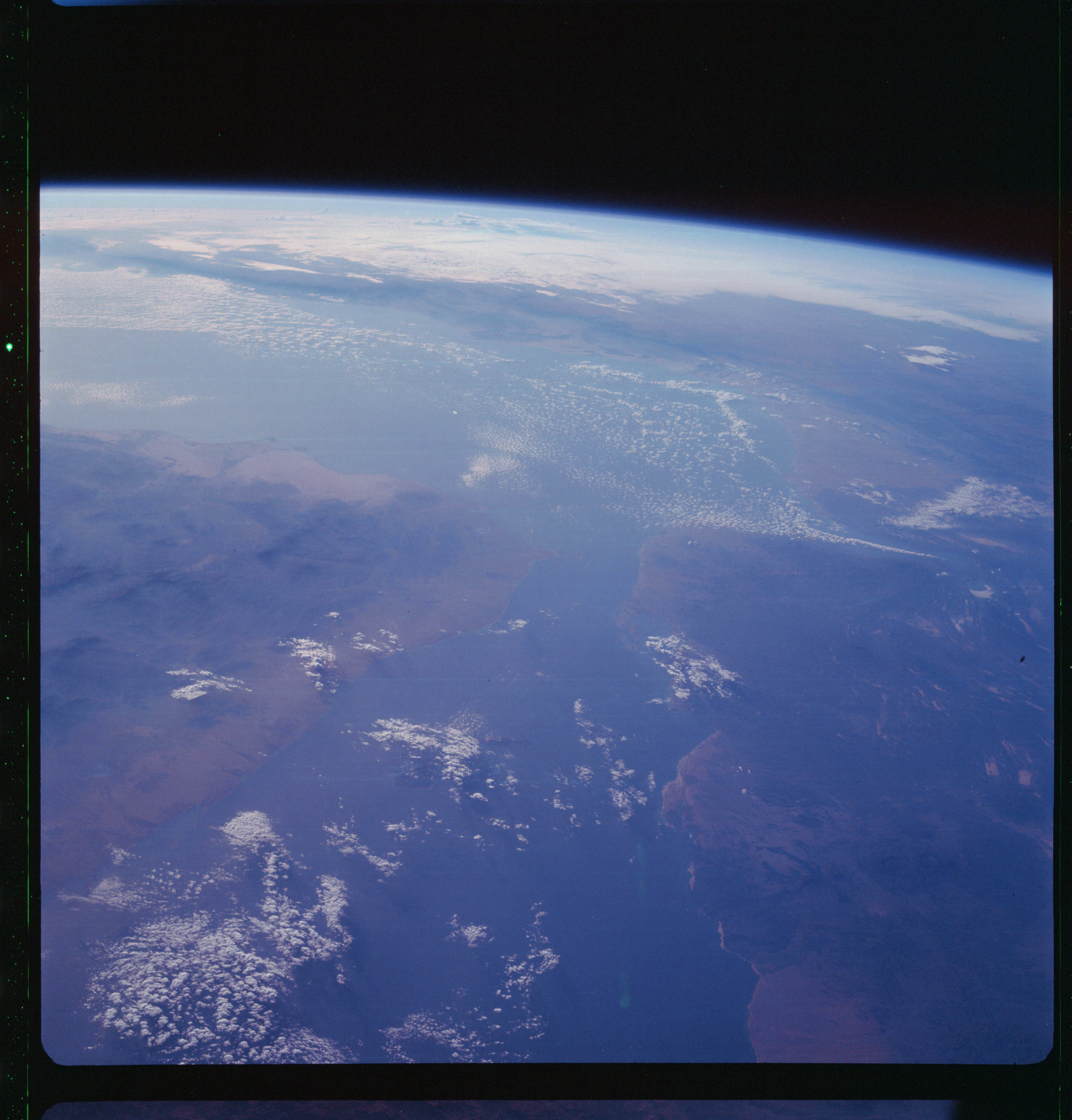 | AS07-11-1987 GEOGRAPHY/CARTOGRAPHY: Ethiopia, Yemen, Somaliland, Saudi Arabia, Red Sea, Gulf of Aden. (Dark} METEOROLOGY: Small cumulus. Image credit: Image Science and Analysis Laboratory, NASA-Johnson Space Center. |
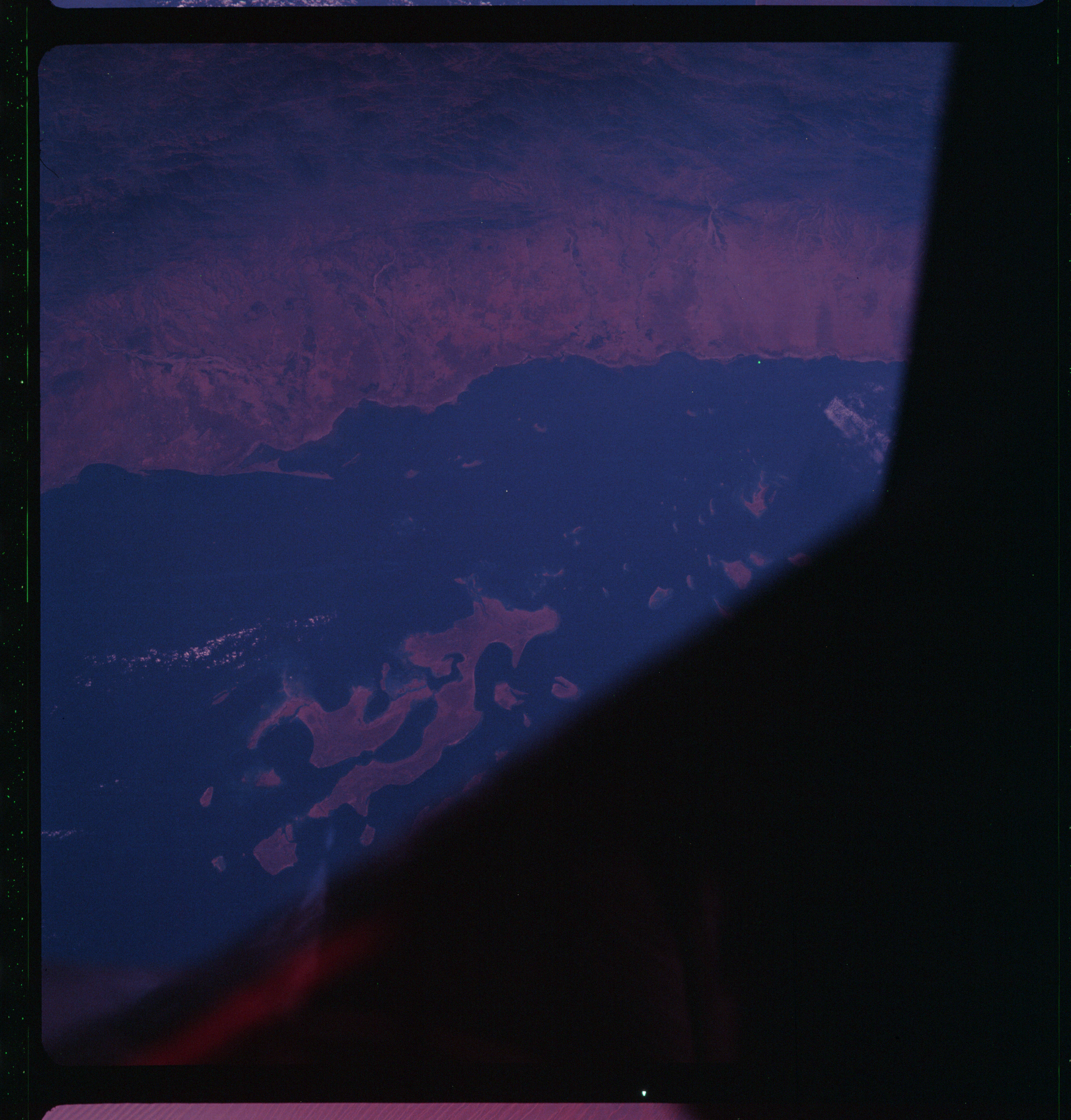 | AS07-11-1988 GEOGRAPHY/CARTOGRAPHY: Yemen, Saudi Arabia: Red Sea, Farasan Islands. Image credit: Image Science and Analysis Laboratory, NASA-Johnson Space Center. |
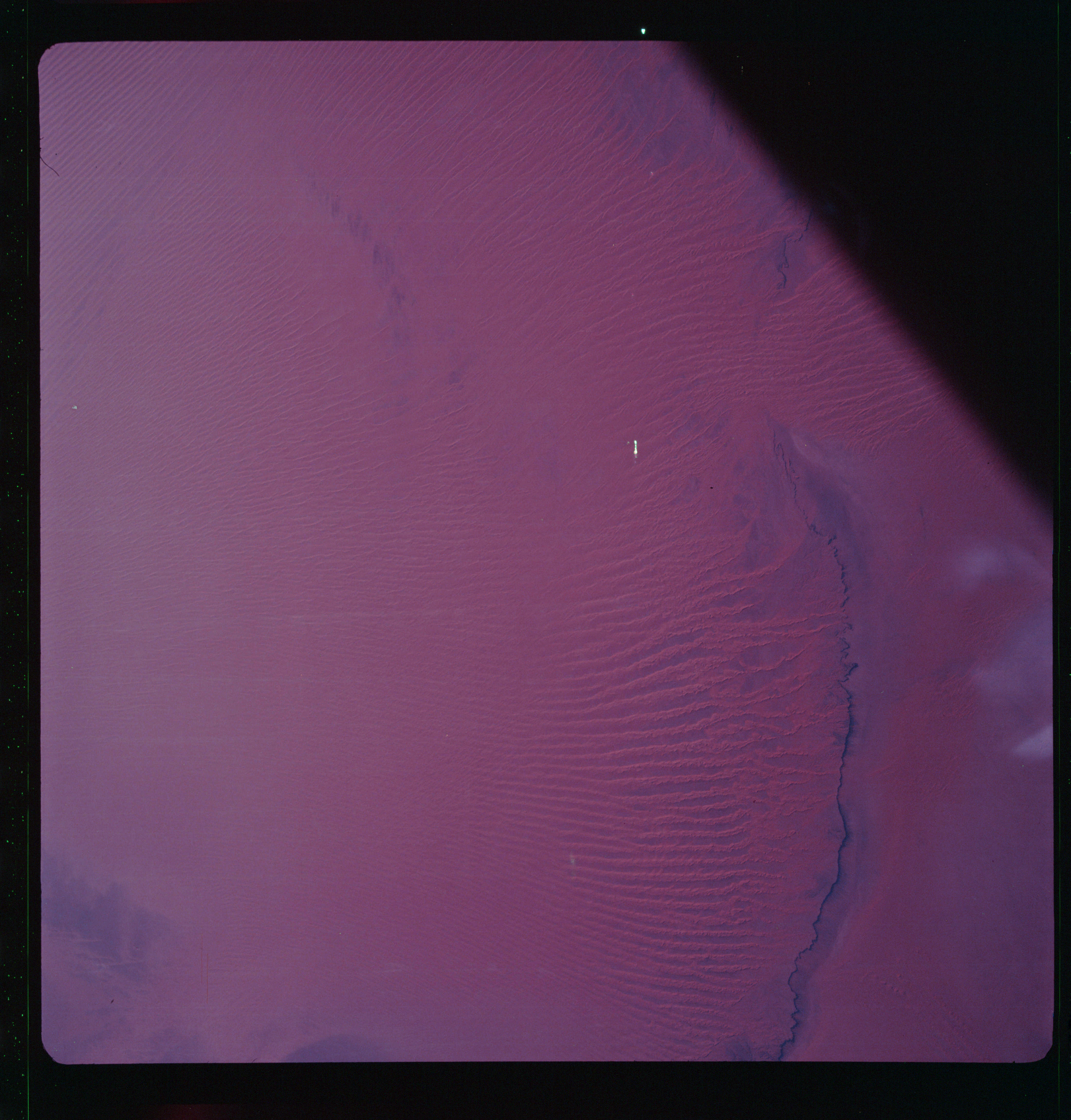 | AS07-11-1989 GEOGRAPHY/CARTOGRAPHY: Saudi Arabia: Empty Quarter, Jebel Tuwayq. GEOLOGY/HYDROLOGY: Egr Plains region of longitudinal seif dunes. Image credit: Image Science and Analysis Laboratory, NASA-Johnson Space Center. |
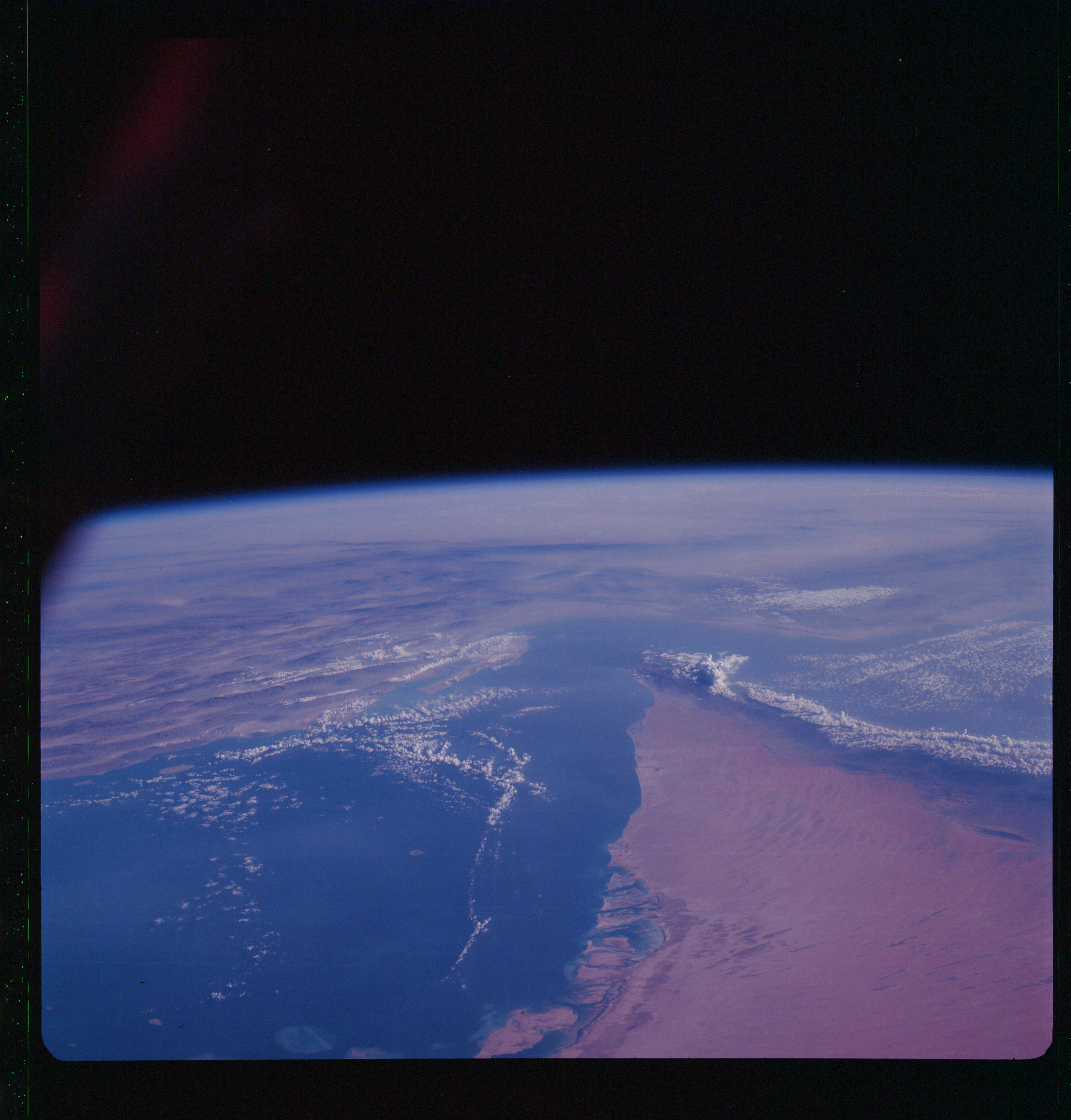 | AS07-11-1990 GEOGRAPHY/CARTOGRAPHY: Saudi Arabia, Persian Gulf. GEOLOGY/HYDROLOGY: Erg plains and eroding coast. METEOROLOGY: Small cumulus, alto-cumulus. Image credit: Image Science and Analysis Laboratory, NASA-Johnson Space Center. |
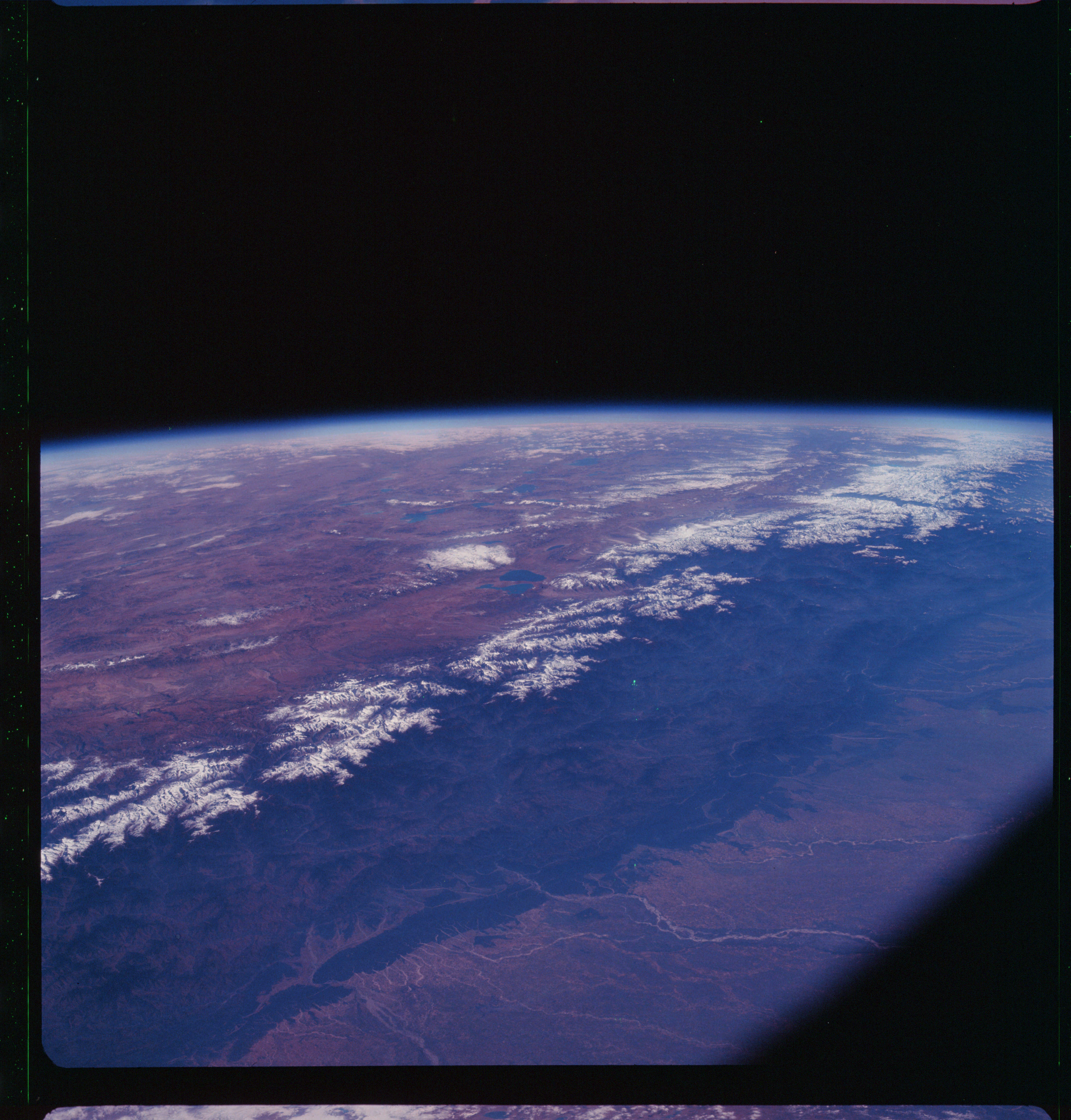 | AS07-11-1991 GEOGRAPHY/CARTOGRAPHY: India, Nepal, Tibet, Himalayas. (Dark) GEOLOGY/HYDROLOGY: Basement complex mountains of the Himalayas, perennial lakes from snow deposits are prevalent. Image credit: Image Science and Analysis Laboratory, NASA-Johnson Space Center. |
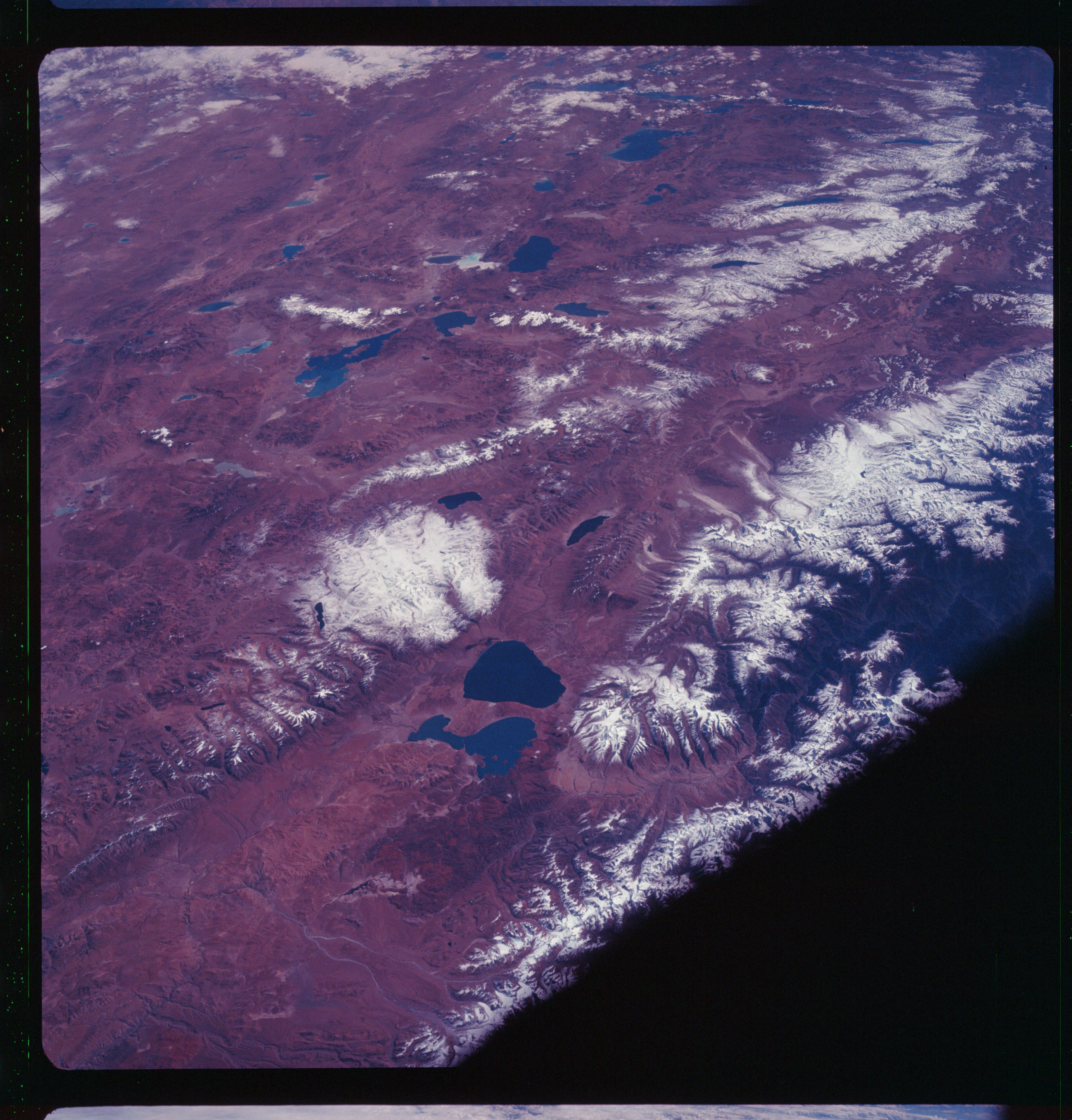 | AS07-11-1992 GEOGRAPHY/CARTOGRAPHY: Tibet: Tibet Plateau, Con F Himalayas. Dark GEOLOGY/HYDROLOGY: Complex sedimentary Tibet Plateau and basement complex mountains of the Himalayas and perennial Inkes. Image credit: Image Science and Analysis Laboratory, NASA-Johnson Space Center. |
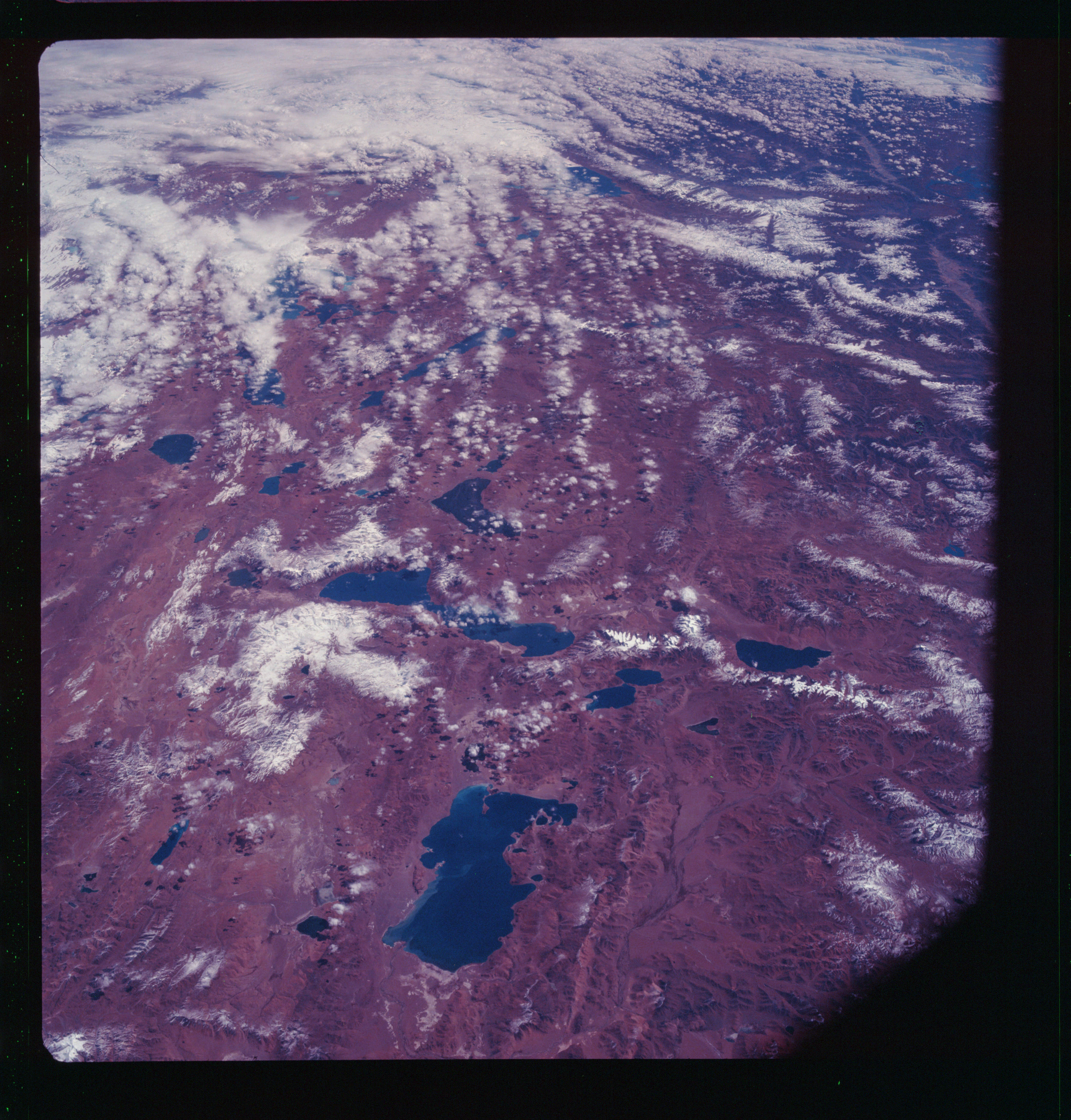 | AS07-11-1993 GEOGRAPHY/CARTOGRAPHY: Tibet, Tibet Plateau, Terinam Tsho Lake. (Dark) GEOLOGY/HYDROLOGY: Perennial lakes and complex plateau of Tibet. METEOROLOGY: Cirrus, small cumulus, alto-cumulus. Image credit: Image Science and Analysis Laboratory, NASA-Johnson Space Center. |
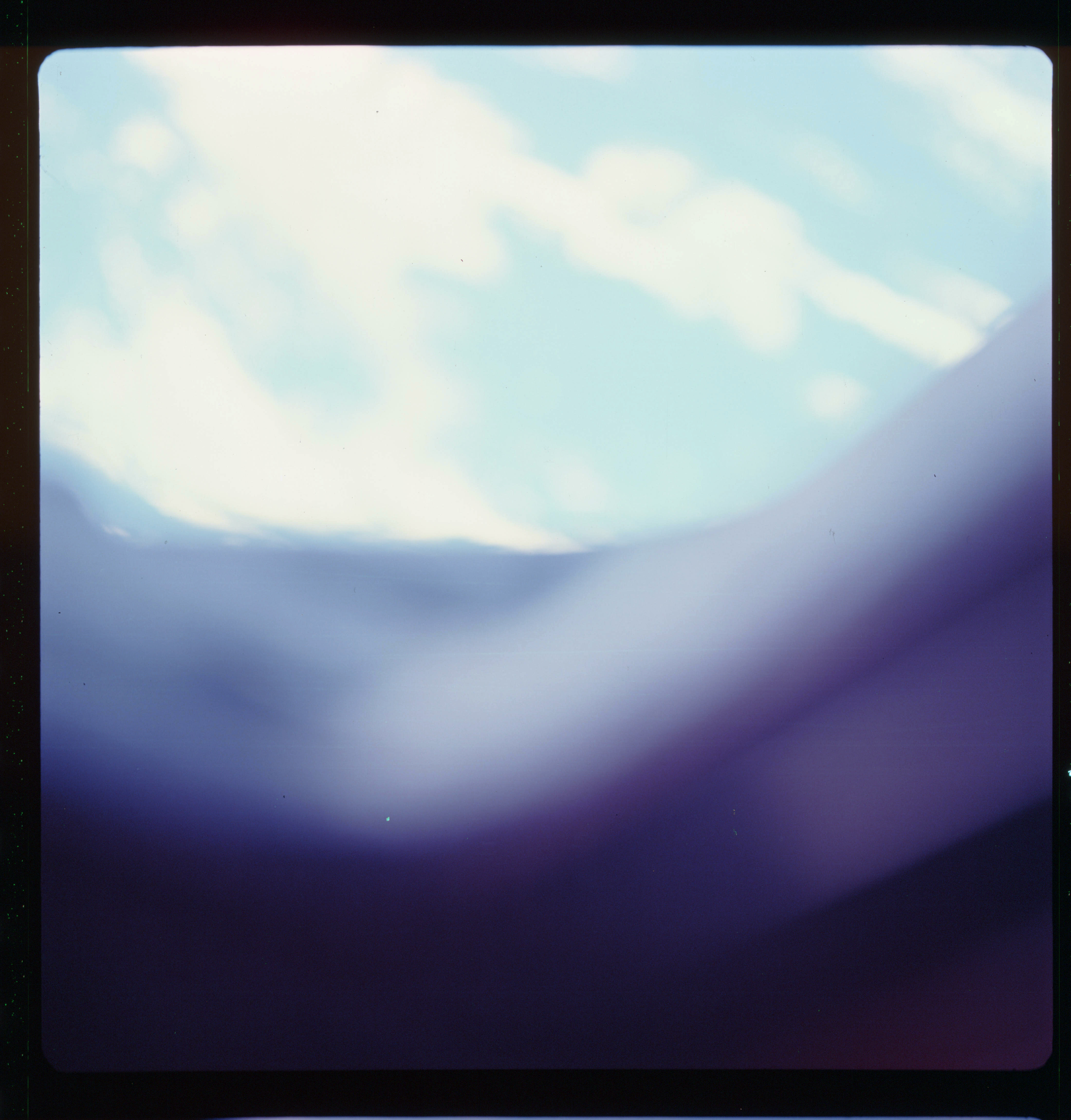 | AS07-11-1994 Spacecraft window. Image credit: Image Science and Analysis Laboratory, NASA-Johnson Space Center. |
 | AS07-11-1995 Blurred photo. Image credit: Image Science and Analysis Laboratory, NASA-Johnson Space Center. |
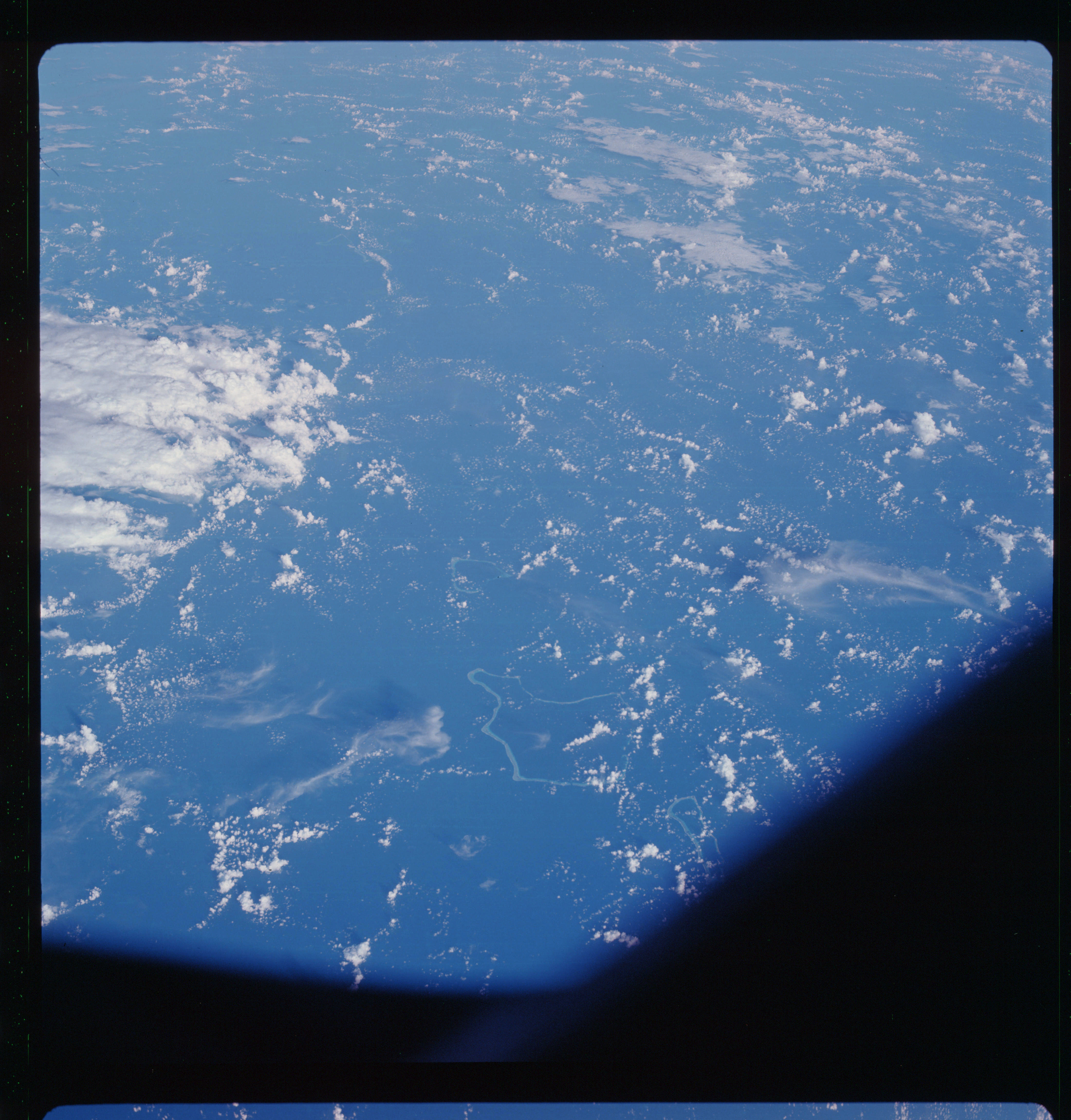 | AS07-11-1996 GEOGRAPHY/CARTOGRAPHY: Israel, Jordan, Saudi Arabia, Gulf of Aqaba. Image credit: Image Science and Analysis Laboratory, NASA-Johnson Space Center. |
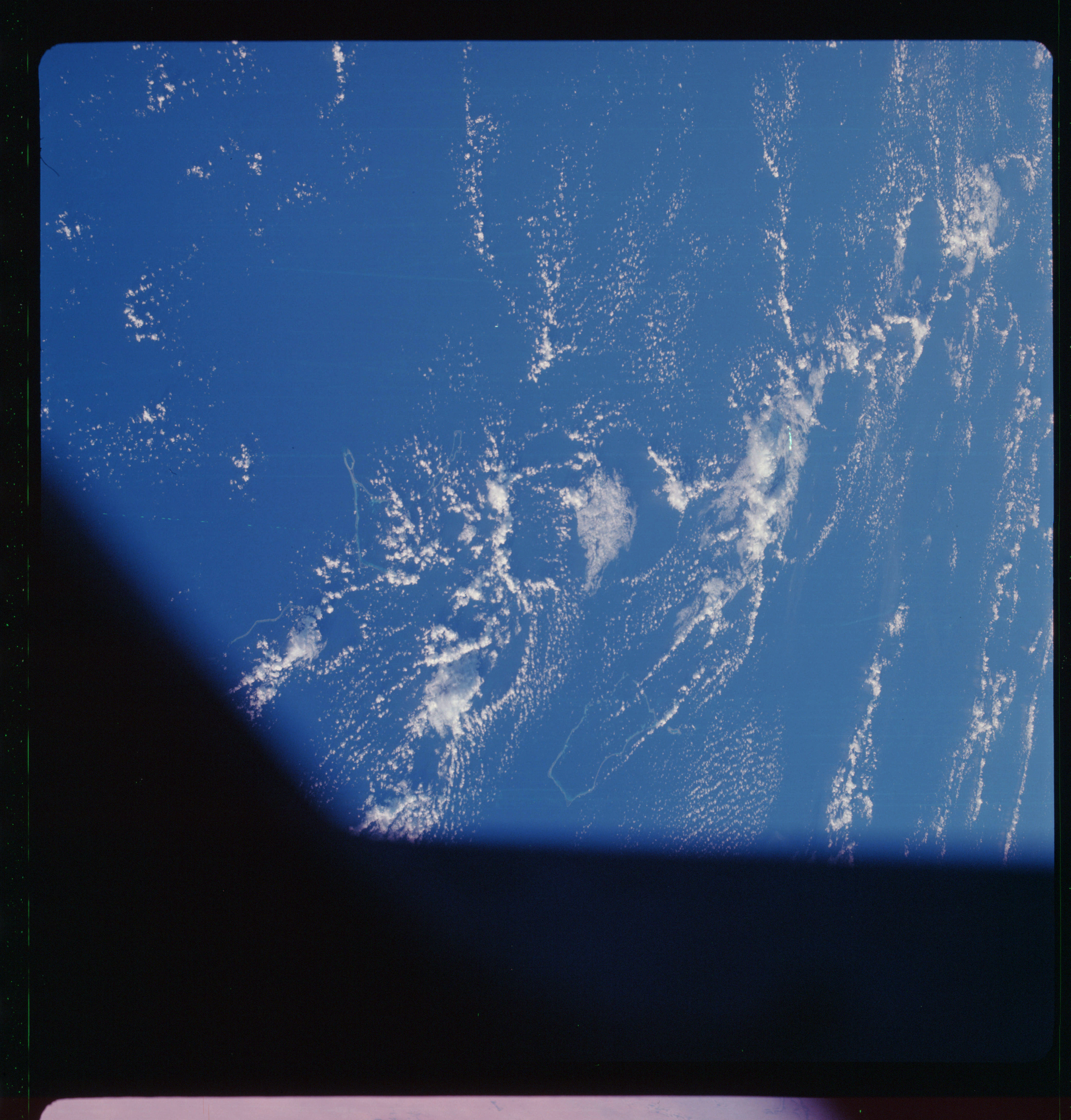 | AS07-11-1997 METEOROLOGY: Small cumulus, towering cumulus. OCEANOGRAPHY: Currents are parallel to Atolls. Image credit: Image Science and Analysis Laboratory, NASA-Johnson Space Center. |
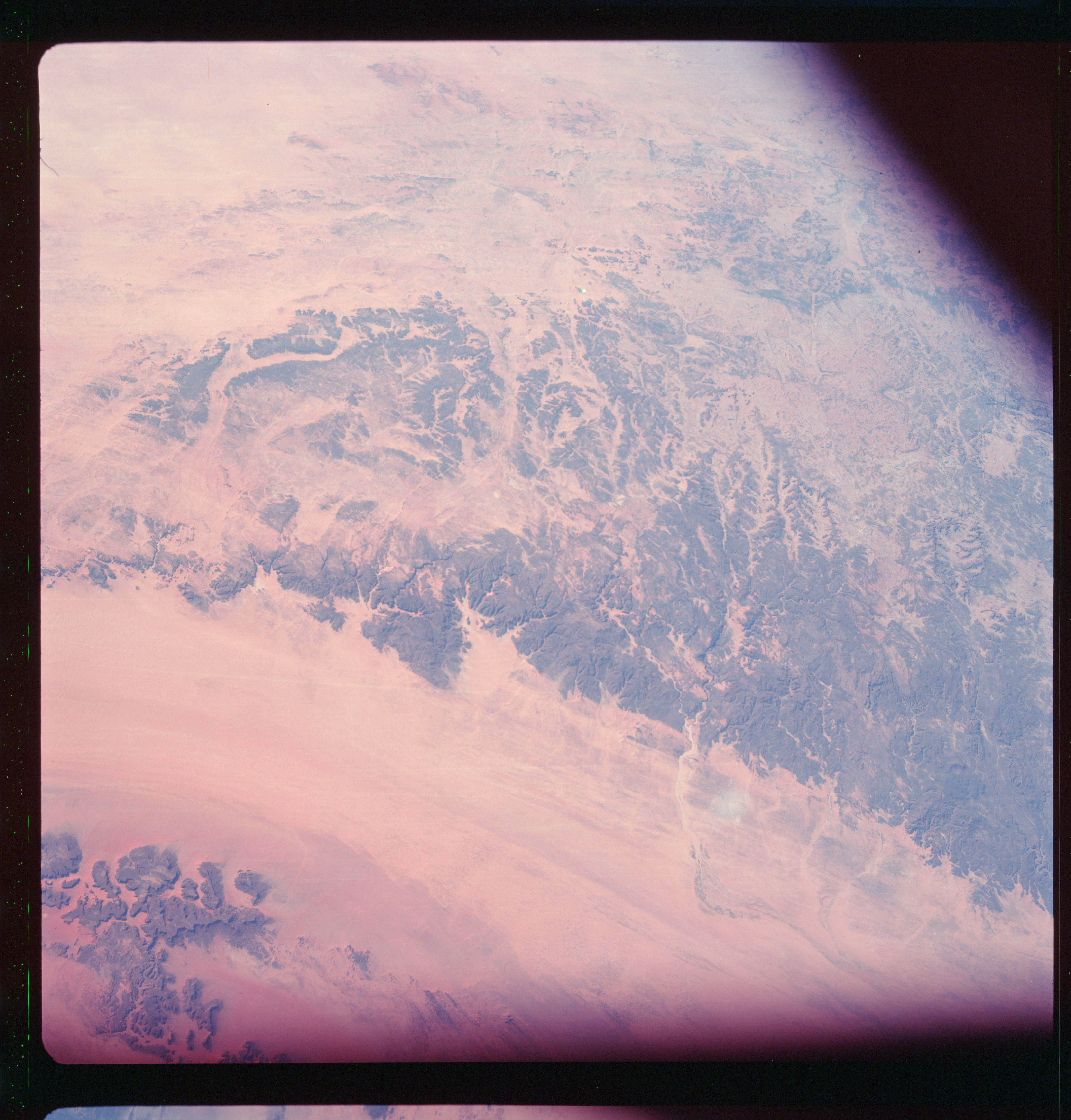 | AS07-11-1998 GEOGRAPHY/CARTOGRAPHY: Chad, Sudan, Libya, Enmedi Plateau, Mourdi Depression. GEOLOGY/HYDROLOGY: Elevated sedimentary plateau surrounded by an interior erg plains region and highly dissected intermittent stream beds within the plateau. Image credit: Image Science and Analysis Laboratory, NASA-Johnson Space Center. |
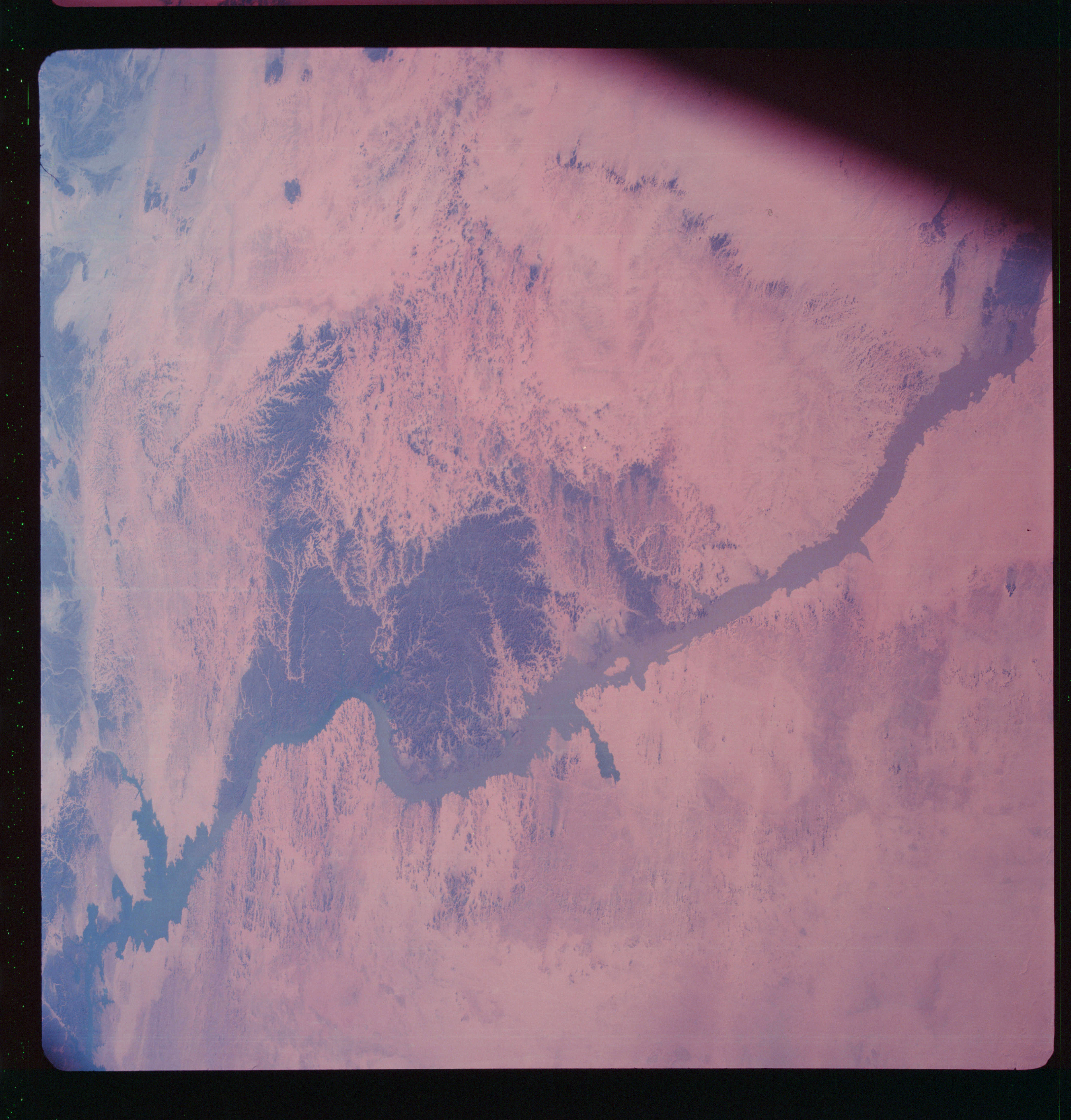 | AS07-11-1999 GEOGRAPHY/CARTOGRAPHY: United Arab Republic, Nile River, Lake Nassar, Wadi Halfa, Nubian Desert. GEOLOGY/HYDROLOGY: Erg plain with a dissected sedimentary plains region adjacent to the Nile River. FORESTRY: Scattered desert shrubform. Image credit: Image Science and Analysis Laboratory, NASA-Johnson Space Center. |
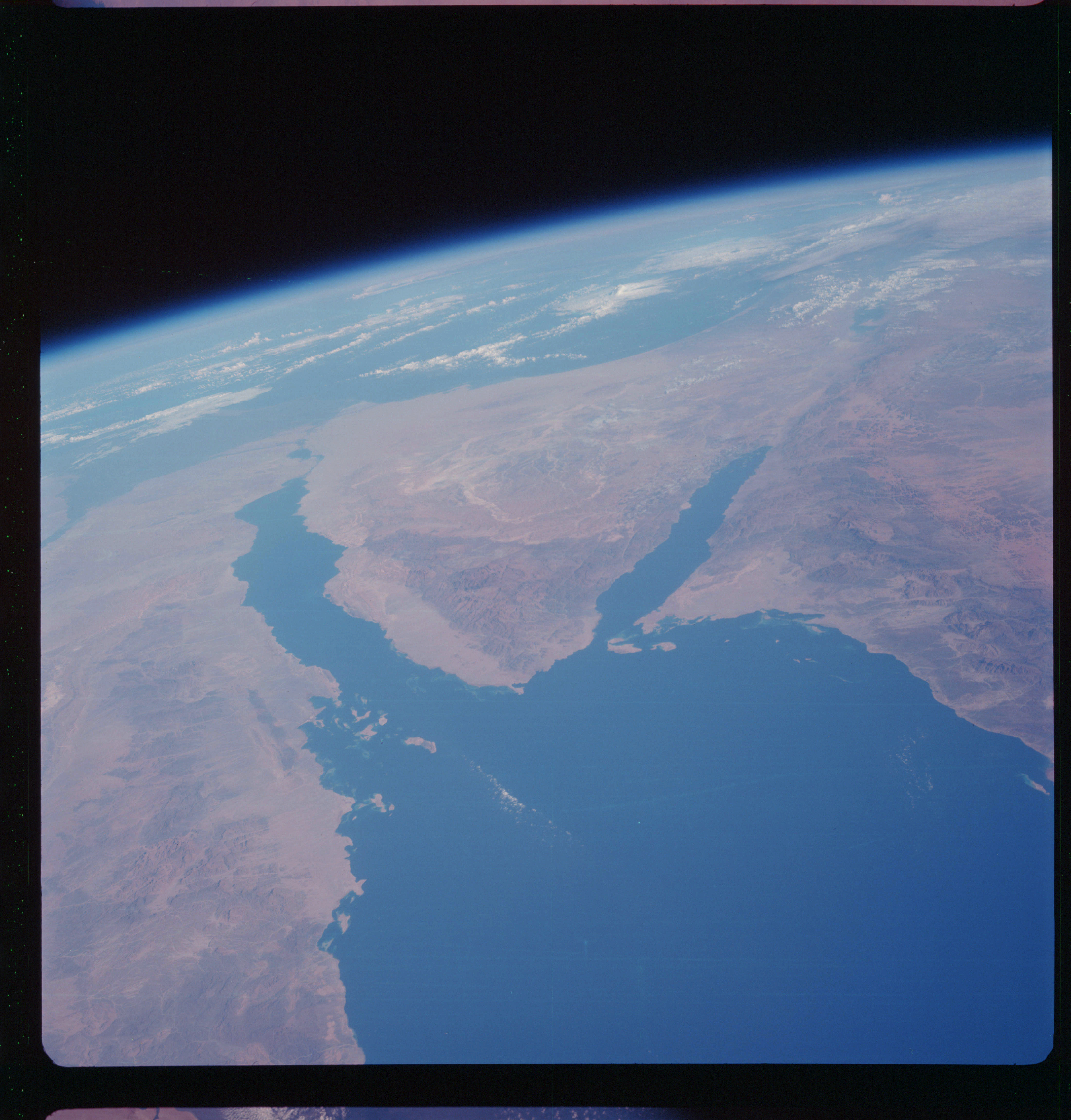 | AS07-11-2000 GEOGRAPHY/CARTOGRAPHY: United Arab Republic, Israel, Saudi Arabia, Red Sea, Gulf of Suez, Gulf of Aqaba, Mediterranean Sea. GEOLOGY/HYDROLOGY: A region of basement complex mountainous areas adjacent to the coastal erg areas of the rift zone, numerous fault structures can be delineated. Image credit: Image Science and Analysis Laboratory, NASA-Johnson Space Center. |
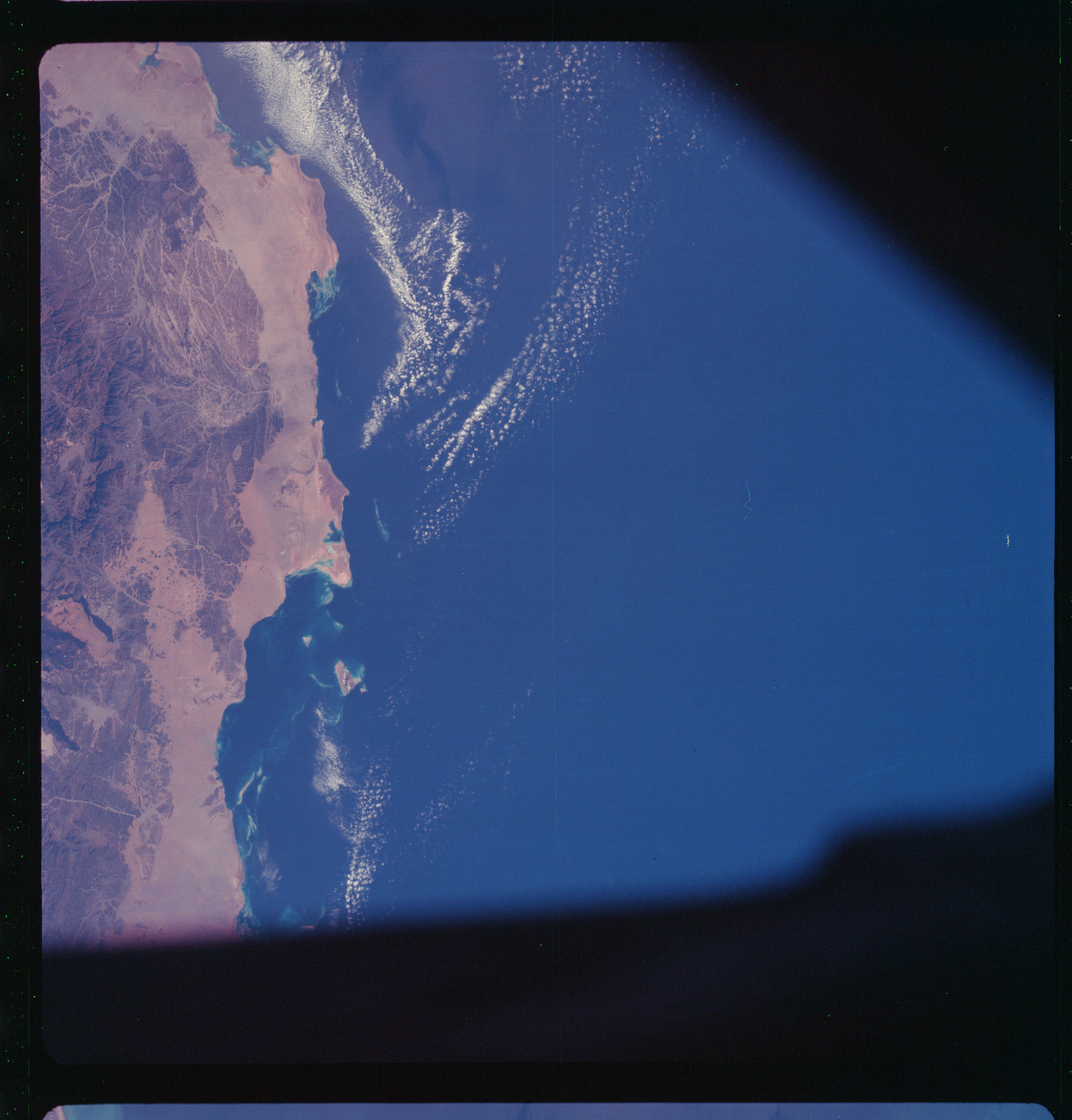 | AS07-11-2001 GEOGRAPHY/CARTOGRAPHY: Saudi Arabia, Red Sea, Ras Abu Madd. GEOLOGY/HYDROLOGY: Coastal plain dune deposits and basement complex highly fractured hills and mountains. FORESTRY: Low scattered shrubform. METEOROLOGY: Small cumulus. Image credit: Image Science and Analysis Laboratory, NASA-Johnson Space Center. |
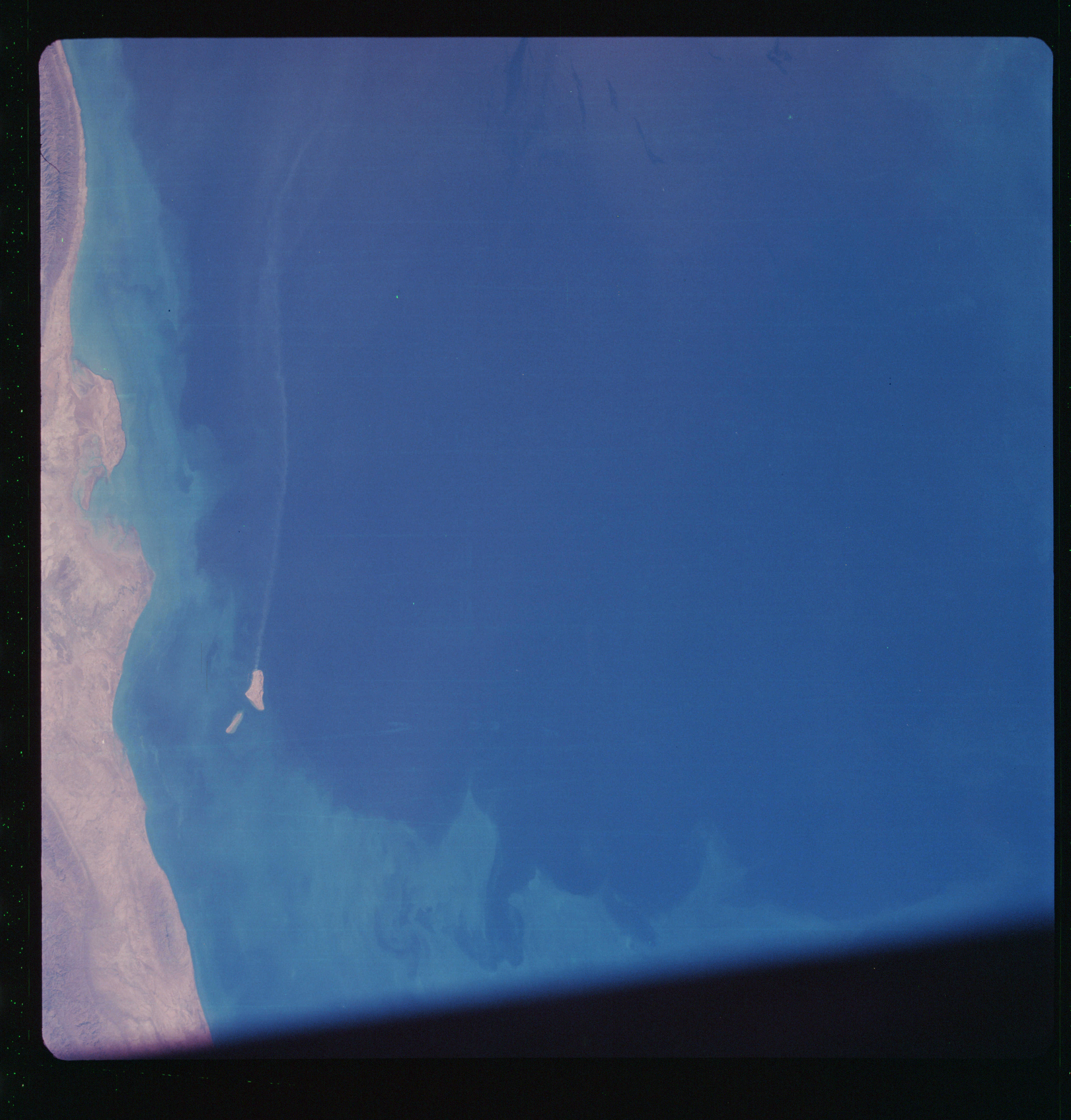 | AS07-11-2002 GEOGRAPHY/CARTOGRAPHY: Iran, Persian Gulf Coast at Bushire. GEOLOGY/HYDROLOGY: Rugged hills of basement complex are adjacent to the coast. OCEANOGRAPHY: Coastal shallows, possible current patterns. Image credit: Image Science and Analysis Laboratory, NASA-Johnson Space Center. |
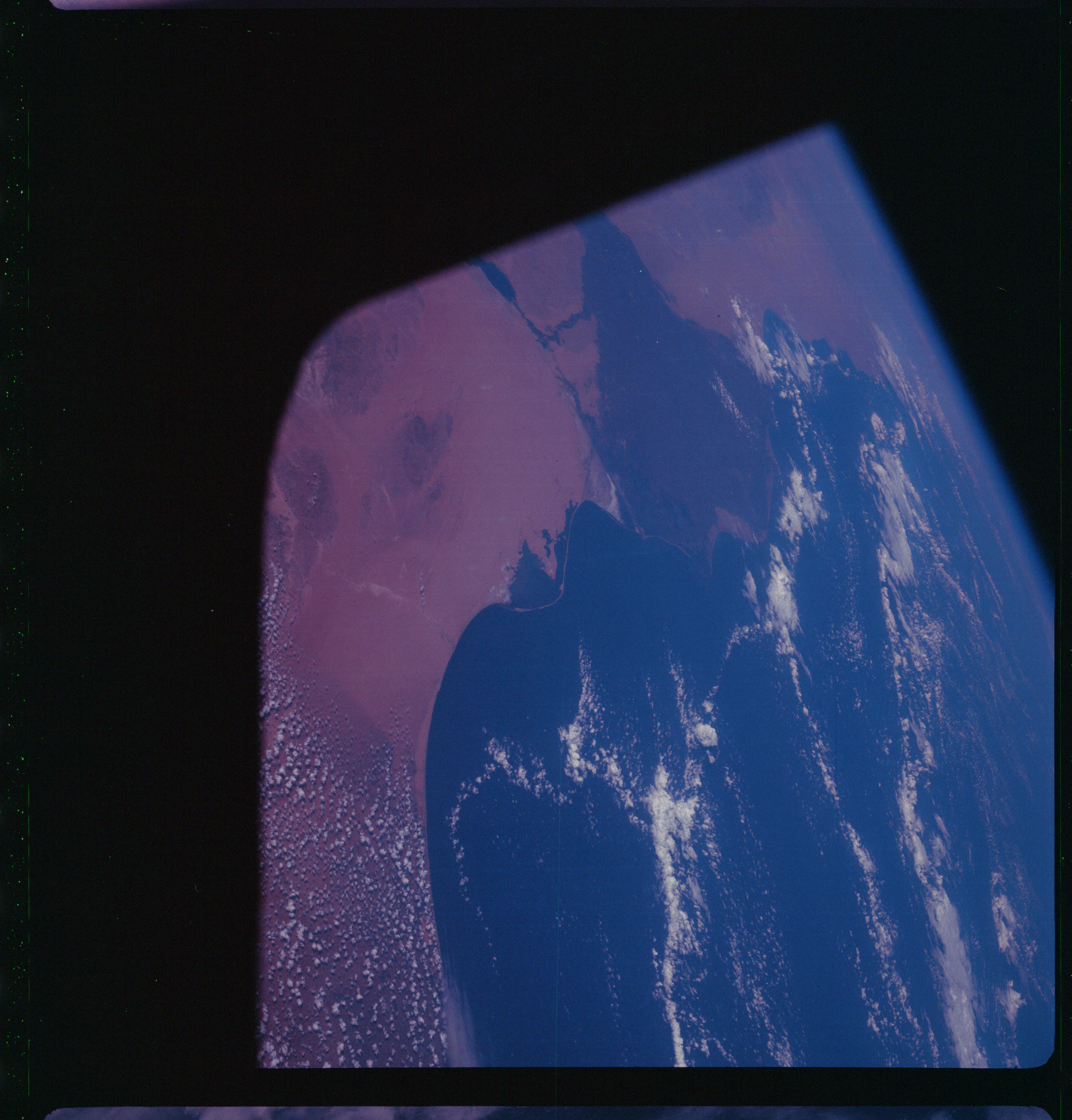 | AS07-11-2003 GEOGRAPHY/CARTOGRAPHY: United Arab Republic, Israel, Nile Delta, Suez Canal. (Dark) GEOLOGY/HYDROLOGY: Deltaic plain of the Nile and emergent coast line of the Mediterranean. METEOROLOGY: Small cumulus, towering cumulus. Image credit: Image Science and Analysis Laboratory, NASA-Johnson Space Center. |
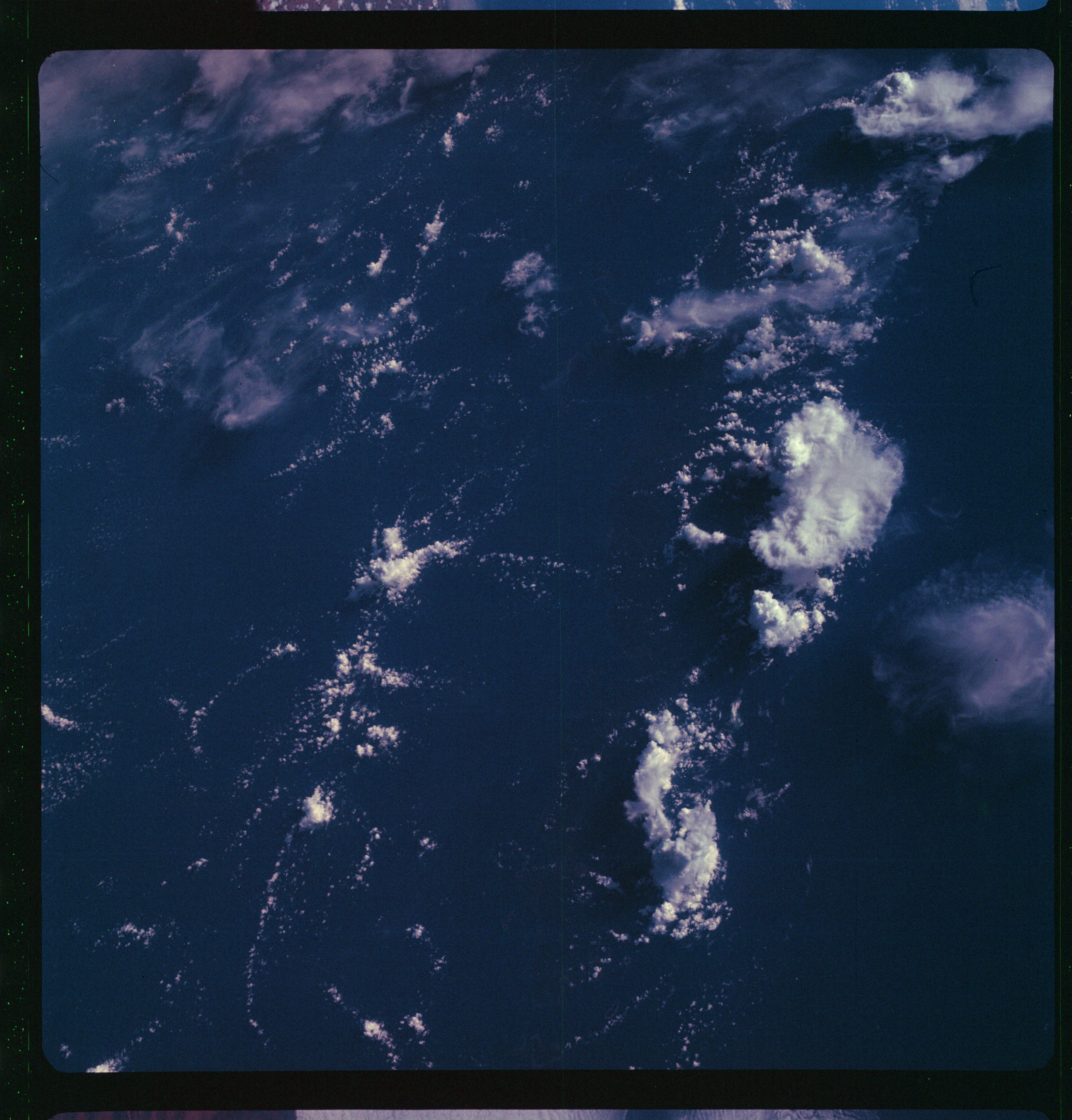 | AS07-11-2004 METEOROLOGY: Strato-cumulus. (Dark) Image credit: Image Science and Analysis Laboratory, NASA-Johnson Space Center. |
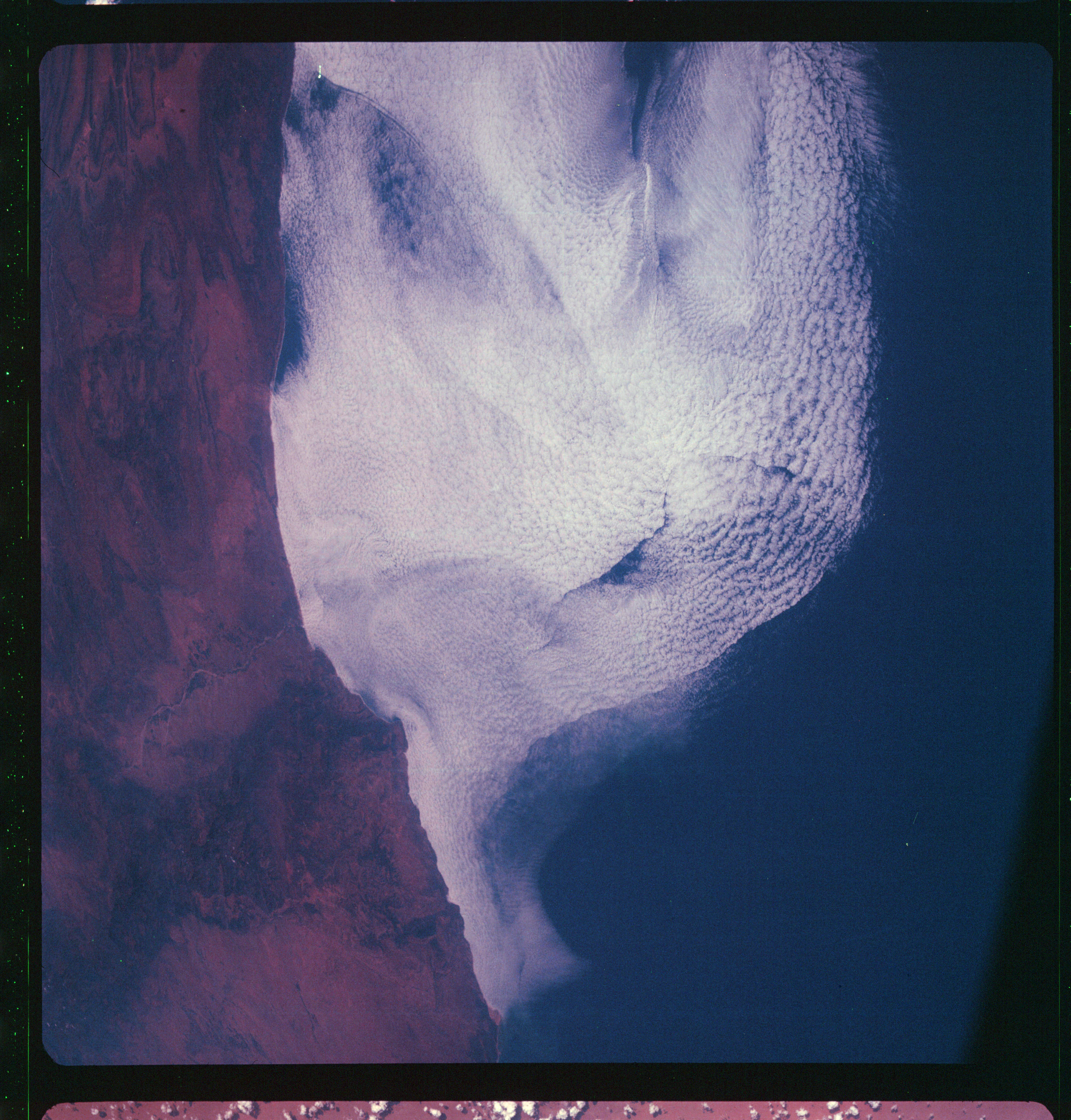 | AS07-11-2005 GEOGRAPHY/CARTOGRAPHY: Morocco. METEOROLOGY: Small cumulus, alto-cumulus. Image credit: Image Science and Analysis Laboratory, NASA-Johnson Space Center. |
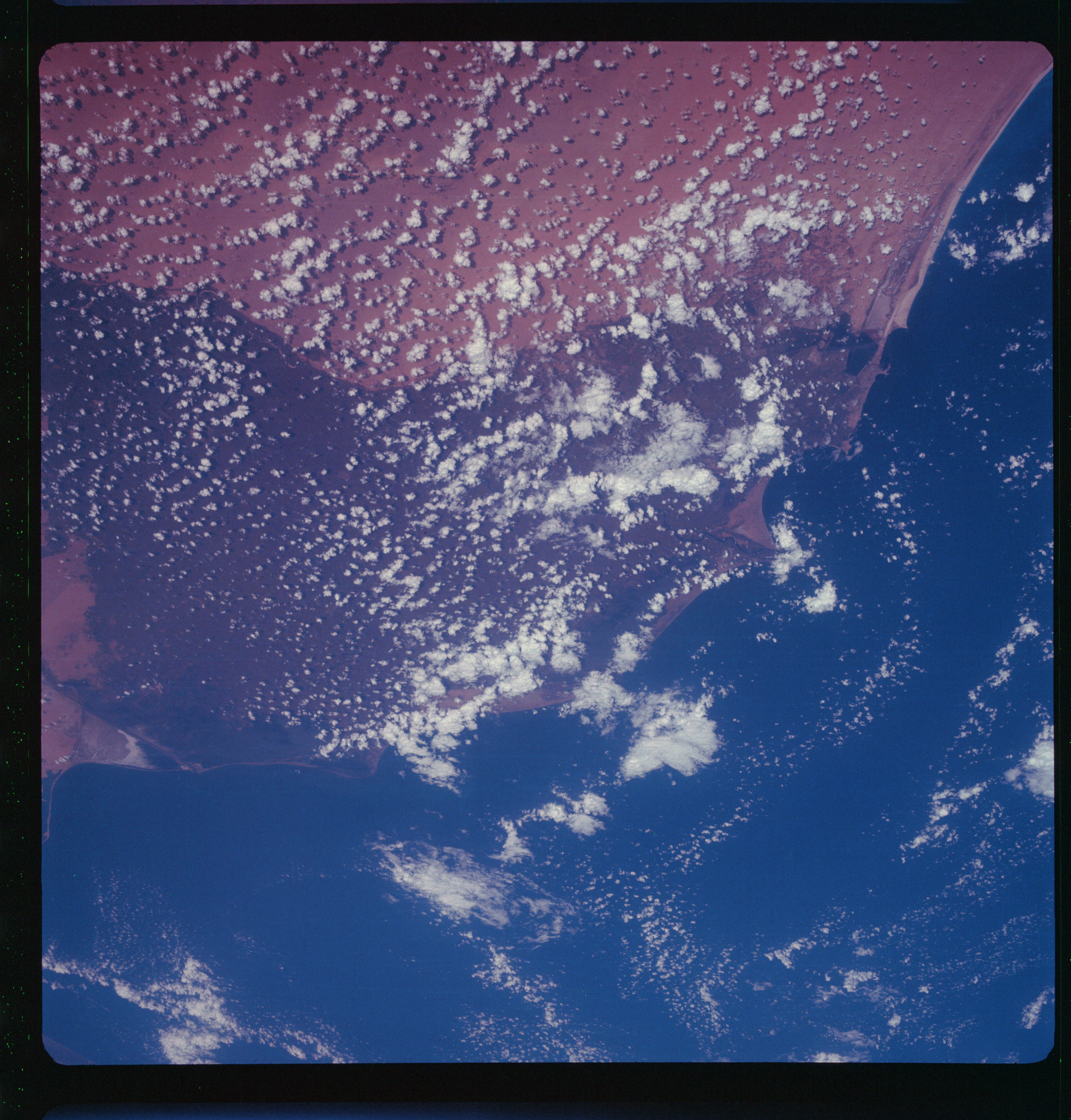 | AS07-11-2006 GEOGRAPHY/CARTOGRAPHY: United Arab Republic, Israel, Nile Delta. (Dark) AGRICULTURE: Extremely heavy cultivation in Nile delta. GEOLOGY/HYDROLOGY: Coastal plain deposits from erg area. METEOROLOGY: Cumulus, alto-cumulus. Image credit: Image Science and Analysis Laboratory, NASA-Johnson Space Center. |
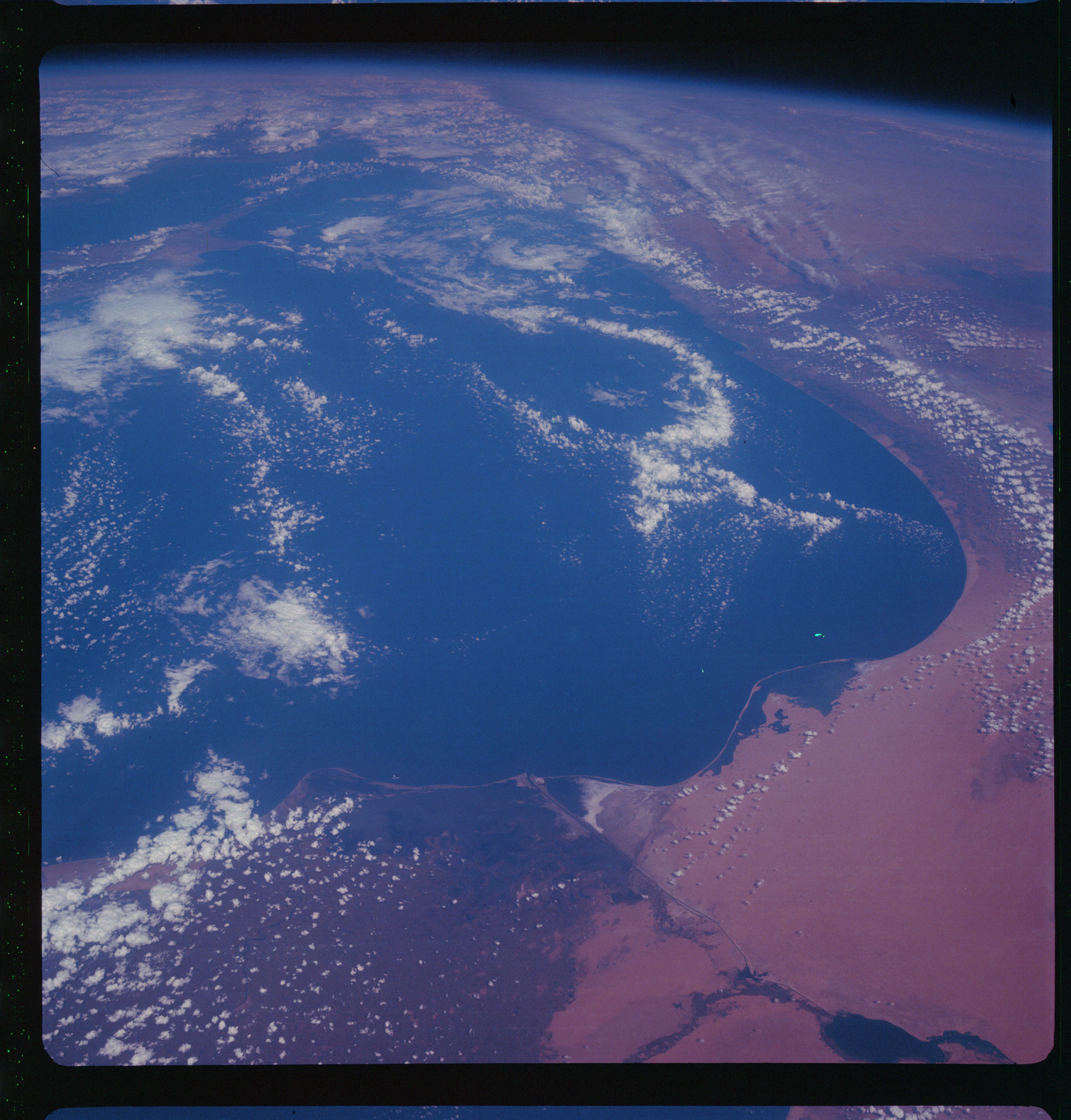 | AS07-11-2007 GEOGRAPHY/CARTOGRAPHY: United Arab Republic, Israel, Jordan, Mediterranean Sea and Suez Canal. (Dark) AGRICULTURE: Extremely heavy cultivation in delta. GEOLOGY/HYDROLOGY: Deltaic coastal plain and erg desert coastal region. METEOROLOGY: Cumulus. Image credit: Image Science and Analysis Laboratory, NASA-Johnson Space Center. |
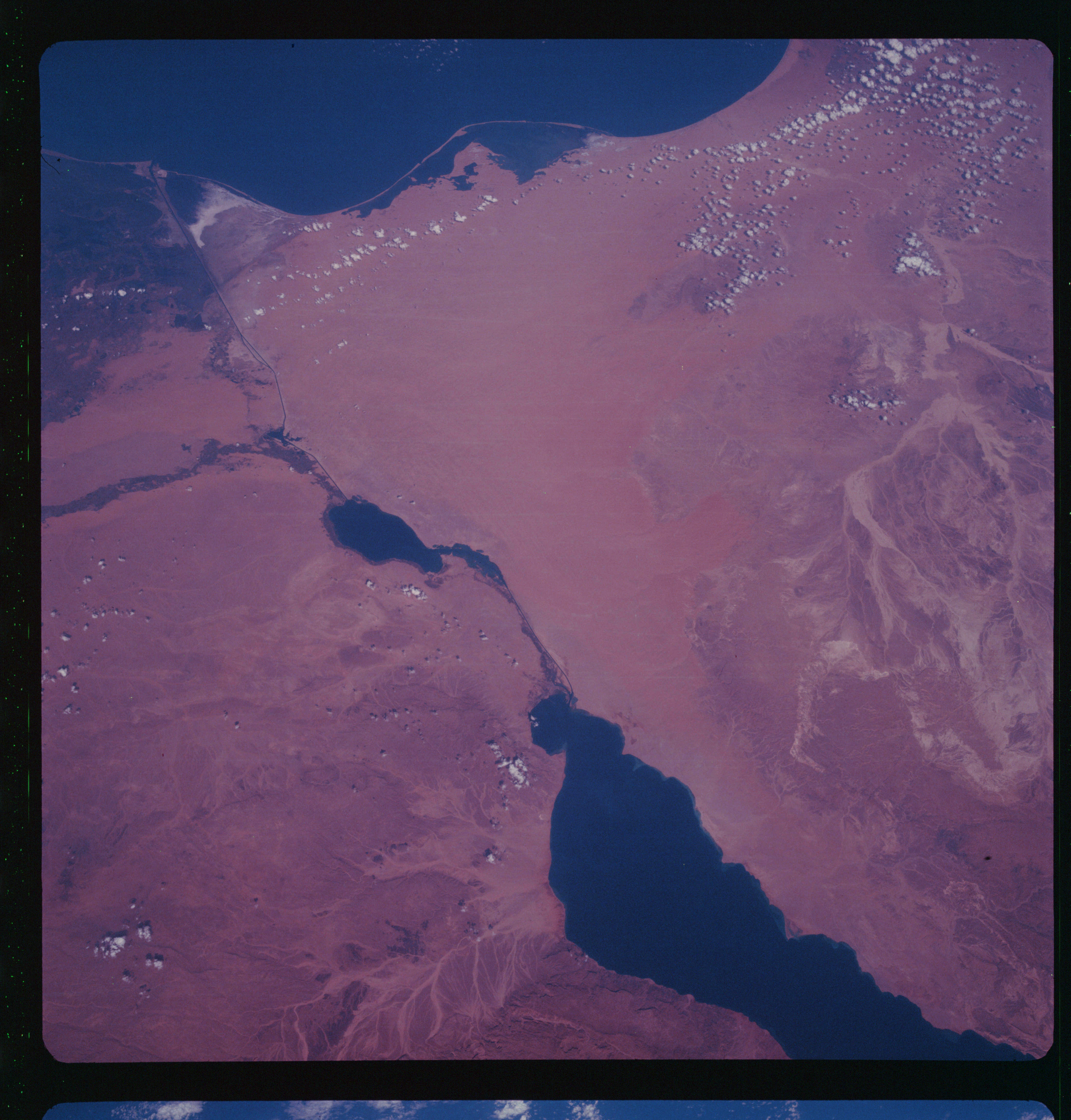 | AS07-11-2008 GEOGRAPHY/CARTOGRAPHY: United Arab Republic, Israel, Sinai Desert, Suez Canal, Gulf of Suez, Port Said, Ismailiya. (Dark) AGRICULTURE: Heavy cultivation in delta. GEOLOGY/HYDROLOGY: Dissected sedimentary hills and erg plains region. Perennial and intermittent drainage on the coasts. METEOROLOGY: Small cumulus. Image credit: Image Science and Analysis Laboratory, NASA-Johnson Space Center. |
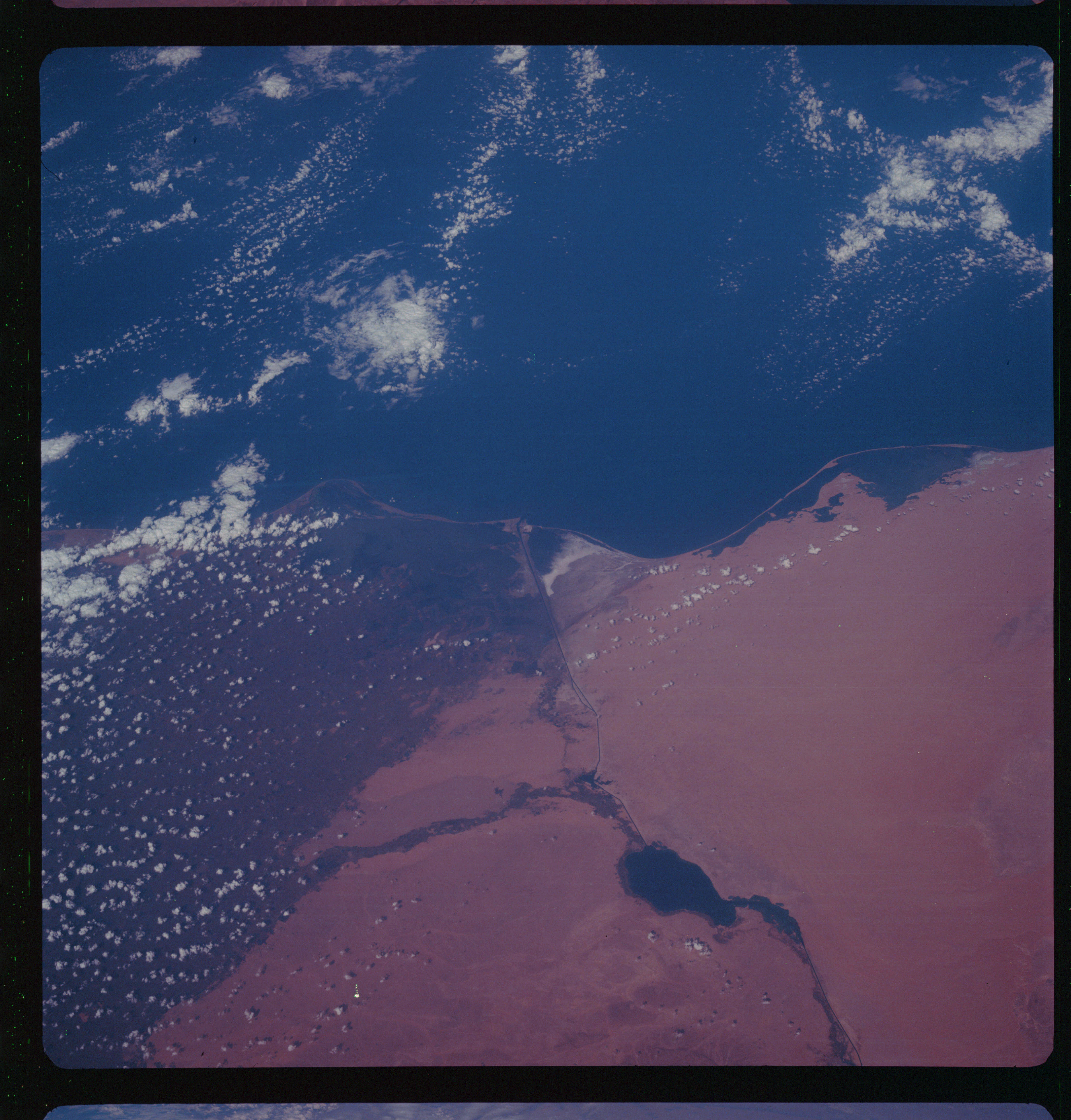 | AS07-11-2009 GEOGRAPHY/CARTOGRAPHY: United Arab Republic. Israel, Sinai Desert, Suez Canal, Great Bitter Lake. (Dark} AGRICULTURE: Heavy cultivation in delta. GEOLOGY/HYDROLOGY: Coastal plain dune deposits. METEOROLOGY: Cumulus. Image credit: Image Science and Analysis Laboratory, NASA-Johnson Space Center. |
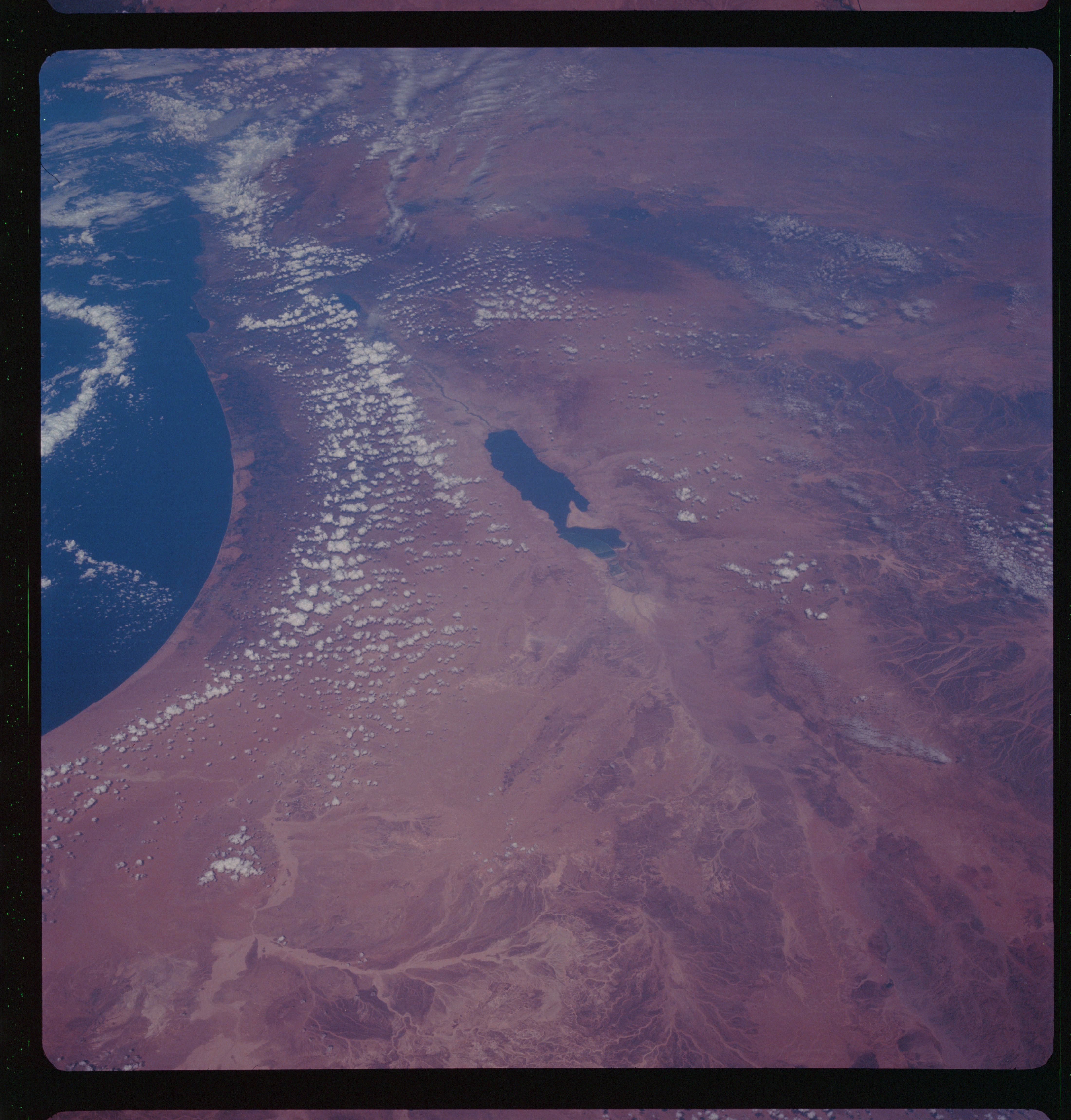 | AS07-11-2010 GEOGRAPHY/CARTOGRAPHY: Israel, Jordan, Syria, Lebanon, Dead Sea. (Dark) GEOLOGY/HYDROLOGY: Area of sedimentary hills and basement complex mountain structures grading into an alluvial plain, Dead Sea forms a watershed for Israel and Jordan. METEOROLOGY: Small cumulus. Image credit: Image Science and Analysis Laboratory, NASA-Johnson Space Center. |
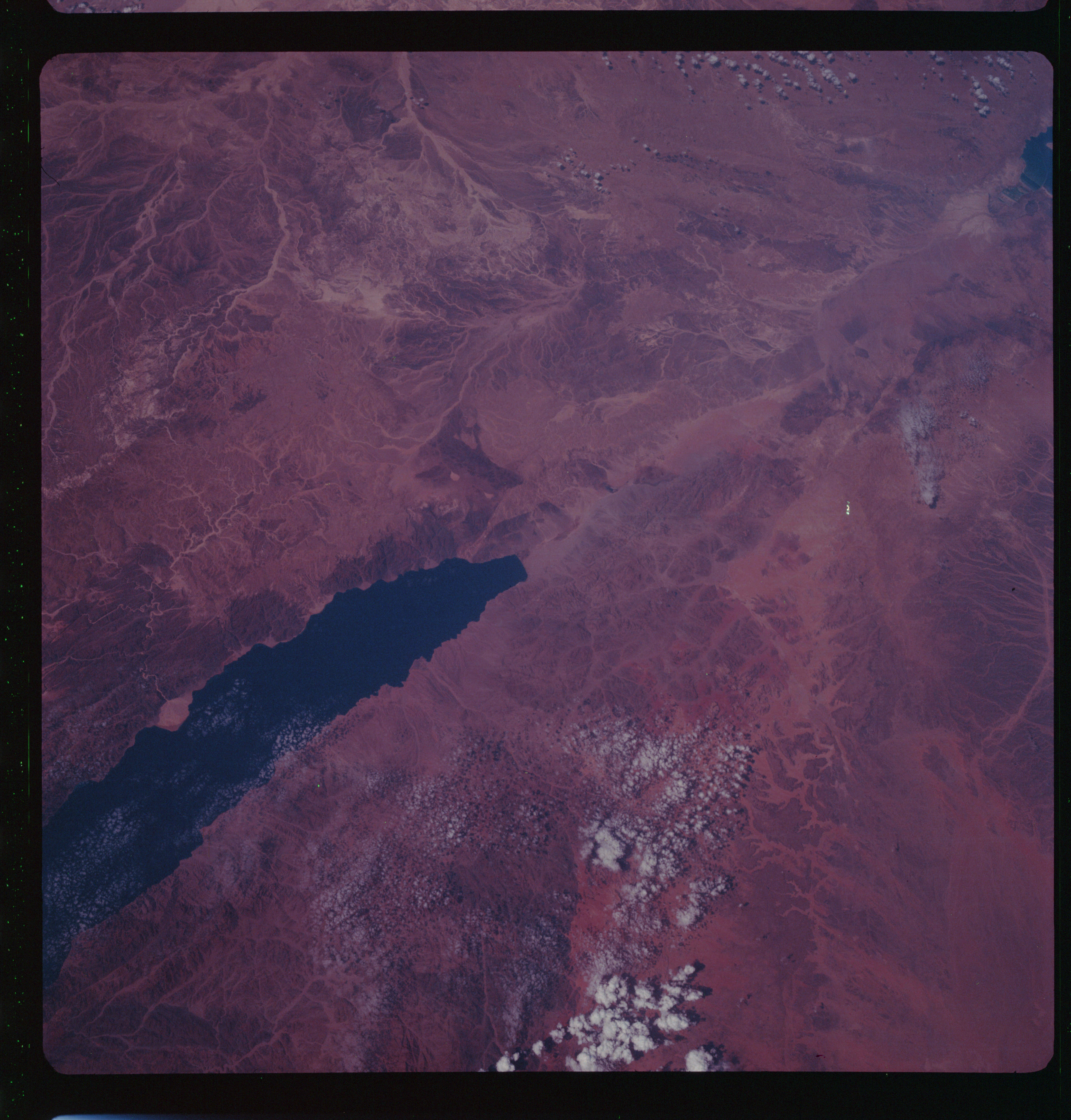 | AS07-11-2011 GEOGRAPHY/CARTOGRAPHY: Israel, Jordan, Saudi Arabia, Gulf of Aqaba. GEOLOGY/HYDROLOGY: Sedimentary and basement complex hill and mountains, with alluvial deposits interspersed. METEOROLOGY: Cumulus. Image credit: Image Science and Analysis Laboratory, NASA-Johnson Space Center. |
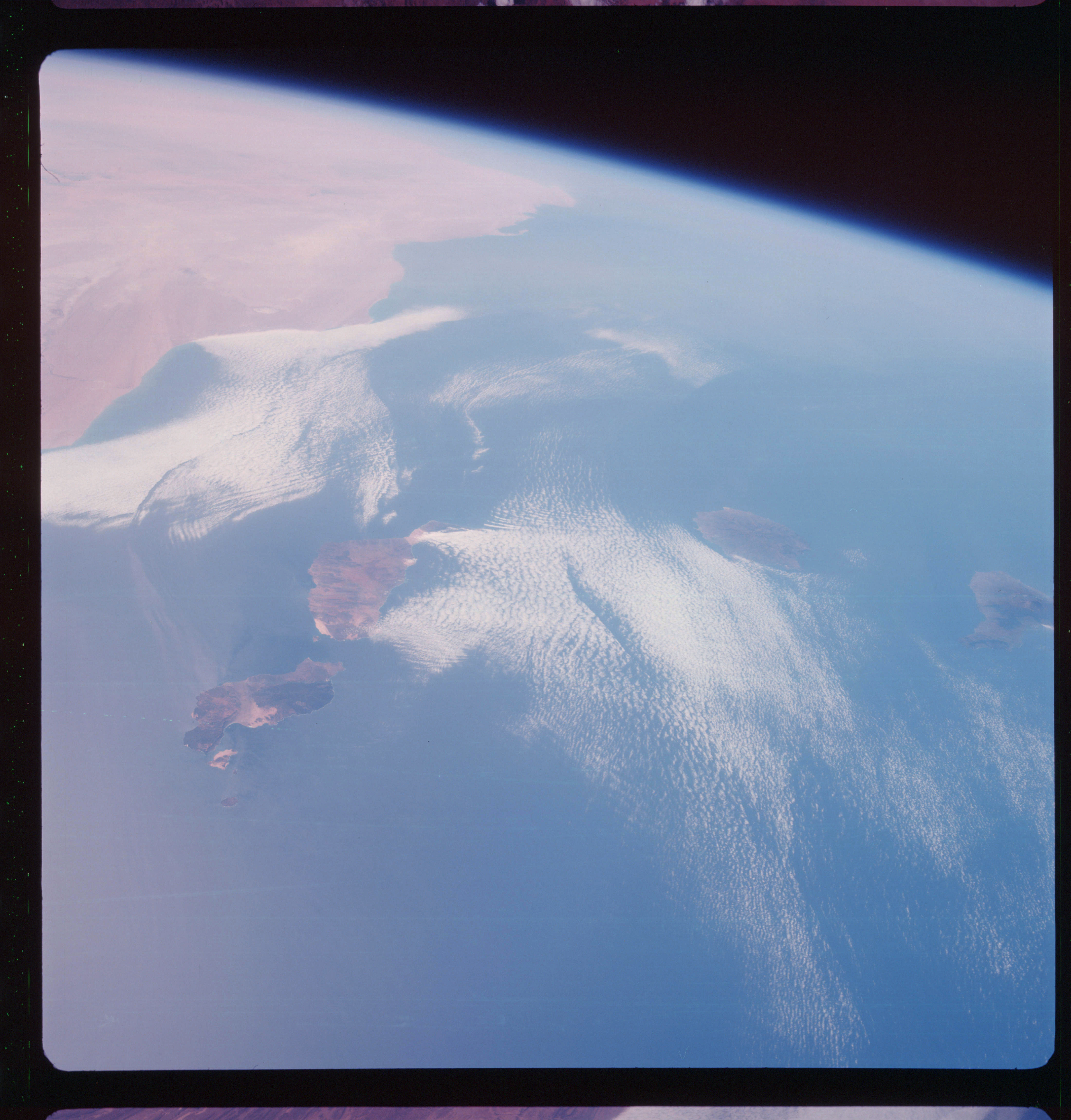 | AS07-11-2012 GEOGRAPHY/CARTOGRAPHY: Canary Islands, Morocco, Atlantic Ocean. (Dark) GEOLOGY/HYDROLOGY: Volcanic, sedimentary and complex hills and the western Sahara Desert erg area of Morocco. FORESTRY: Dense intermittent forest stands on islands. METEOROLOGY: Cumulus, alto-cumulus. Image credit: Image Science and Analysis Laboratory, NASA-Johnson Space Center. |
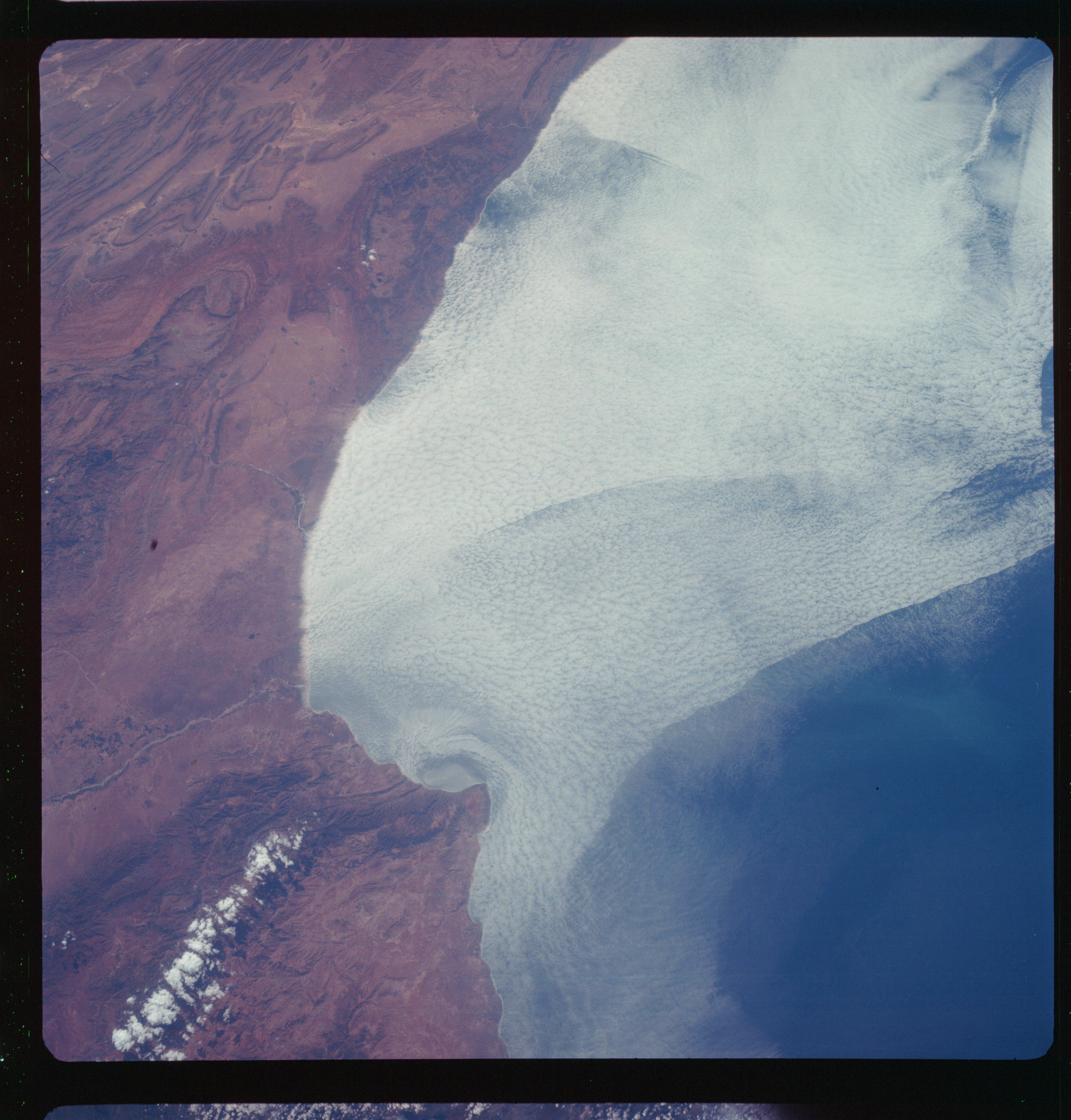 | AS07-11-2013 GEOGRAPHY/CARTOGRAPHY: Morocco, Ras Rhir, Anti-Atlas Mountains. (Dark) GEOLOGY/HYDROLOGY: Highly folded sedimentary mountain complex with alluvial deposits in the lower regions. FORESTRY: Scattered desert shrubform. METEOROLOGY: Strato-cumulus, small cumulus. Image credit: Image Science and Analysis Laboratory, NASA-Johnson Space Center. |
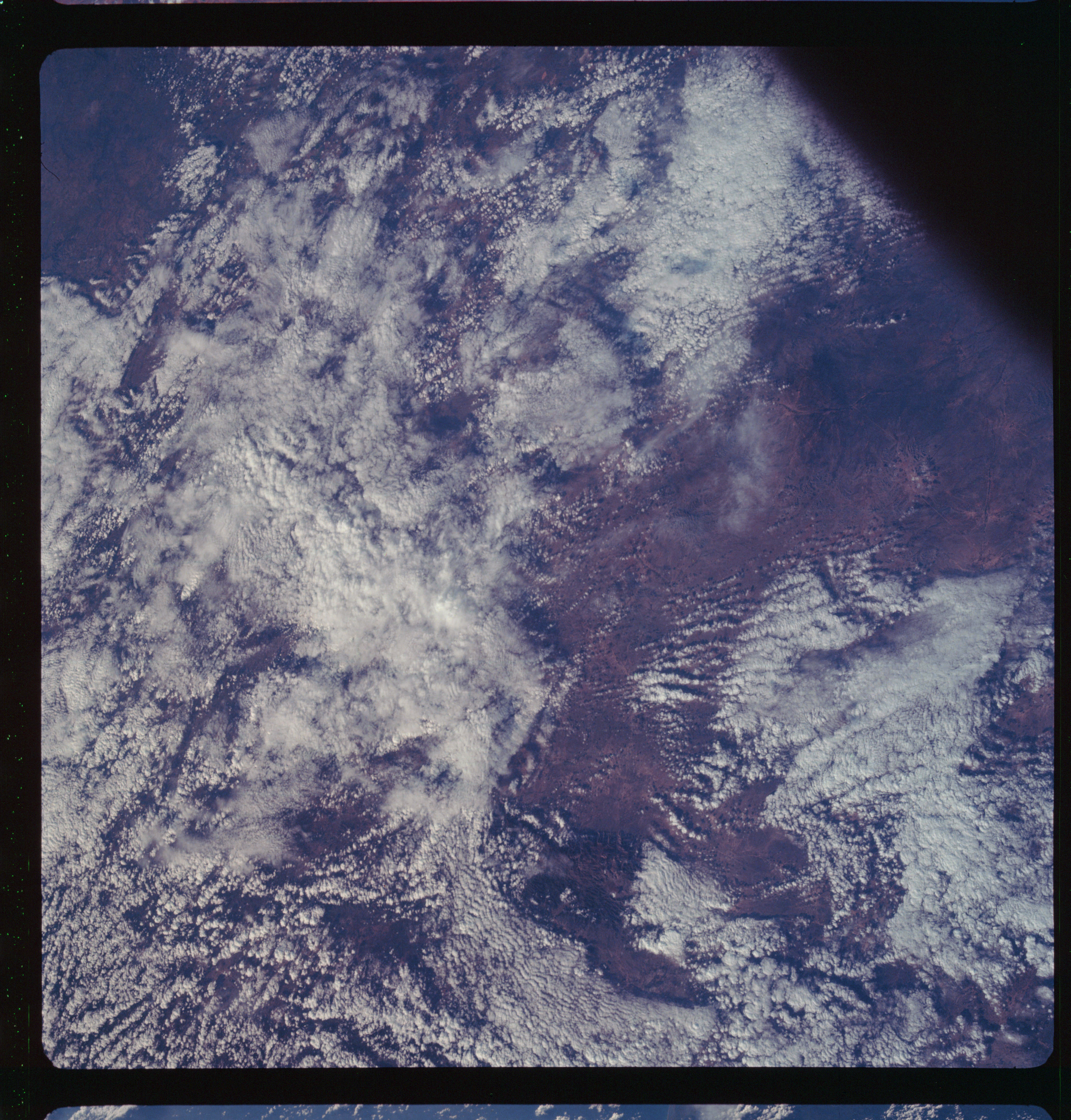 | AS07-11-2014 METEOROLOGY: Strato-cumulus, small cumulus. (Dark) Image credit: Image Science and Analysis Laboratory, NASA-Johnson Space Center. |
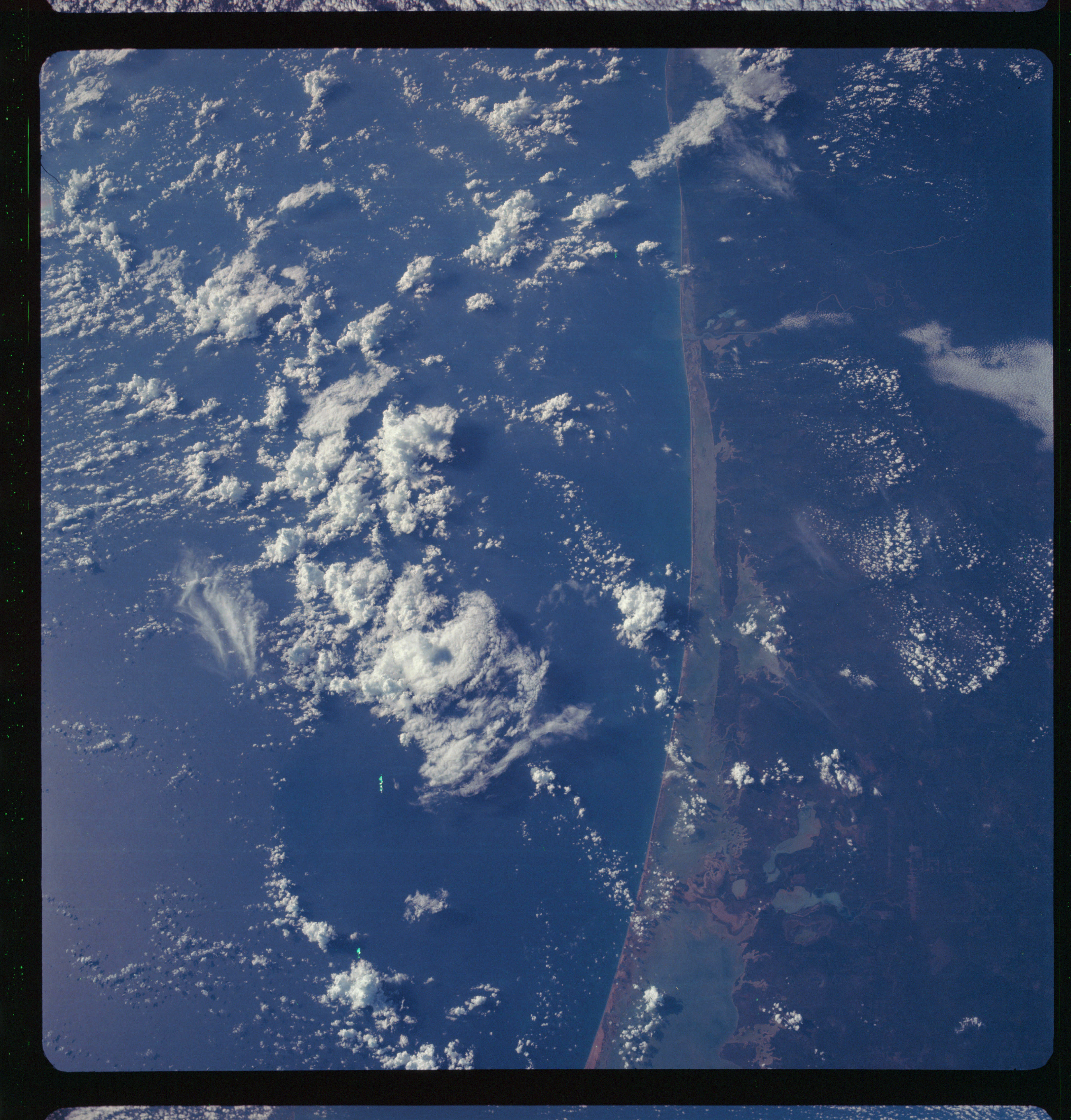 | AS07-11-2015 GEOGRAPHY/CARTOGRAPHY: Mexico, Tamaulipas, Laguna Madre Southern end. (Dark) GEOLOGY/HYDROLOGY: Coastal plain deposits along a shoreline of emergence, off shore sand bar. METEOROLOGY: Cumulus, cumulus-nimbus. Image credit: Image Science and Analysis Laboratory, NASA-Johnson Space Center. |
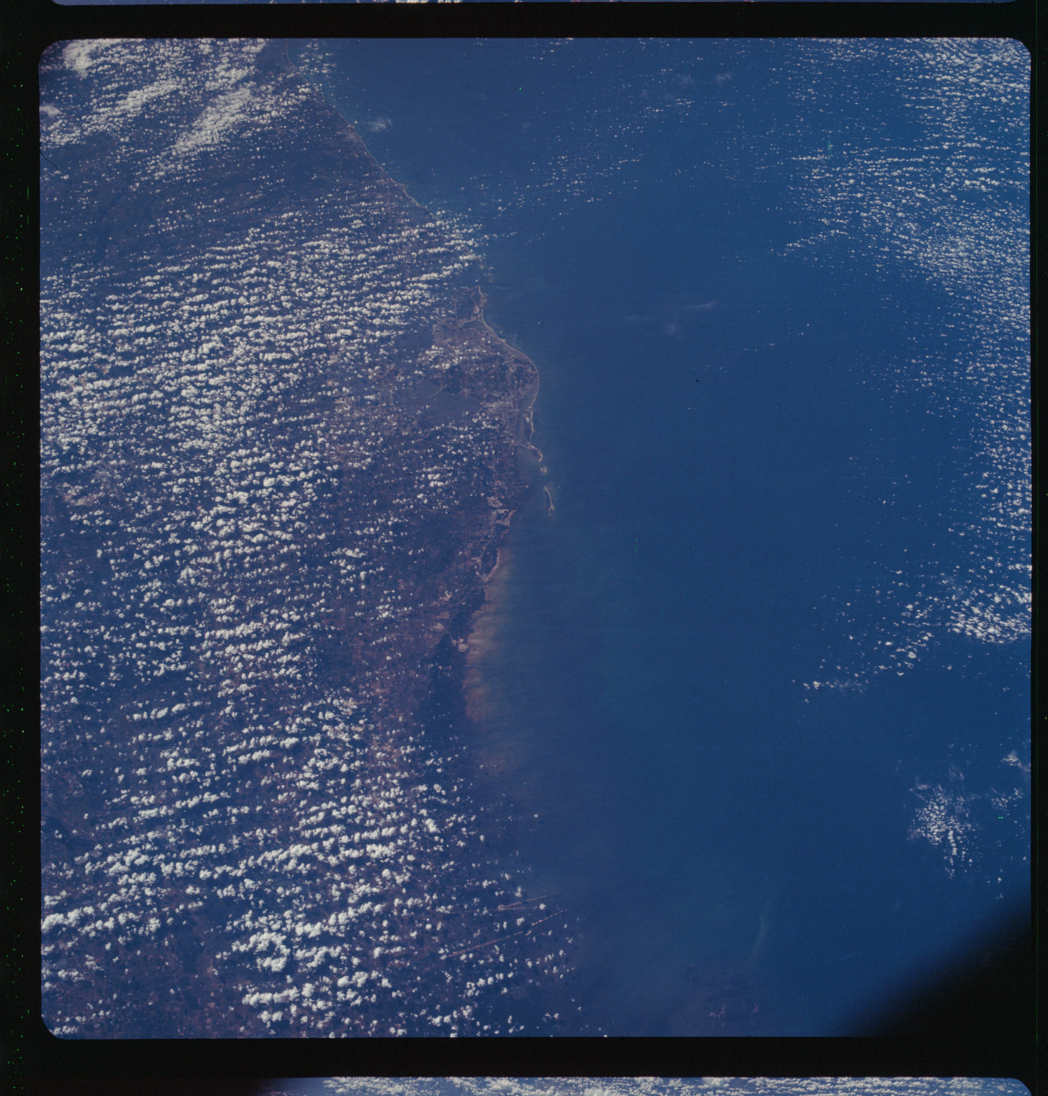 | AS07-11-2016 GEOGRAPHY/CARTOGRAPHY: Florida, Tampa, St. Petersburg, Gulf of Mexico. (Dark) METEOROLOGY: Small cumulus, towering cumulus. Image credit: Image Science and Analysis Laboratory, NASA-Johnson Space Center. |
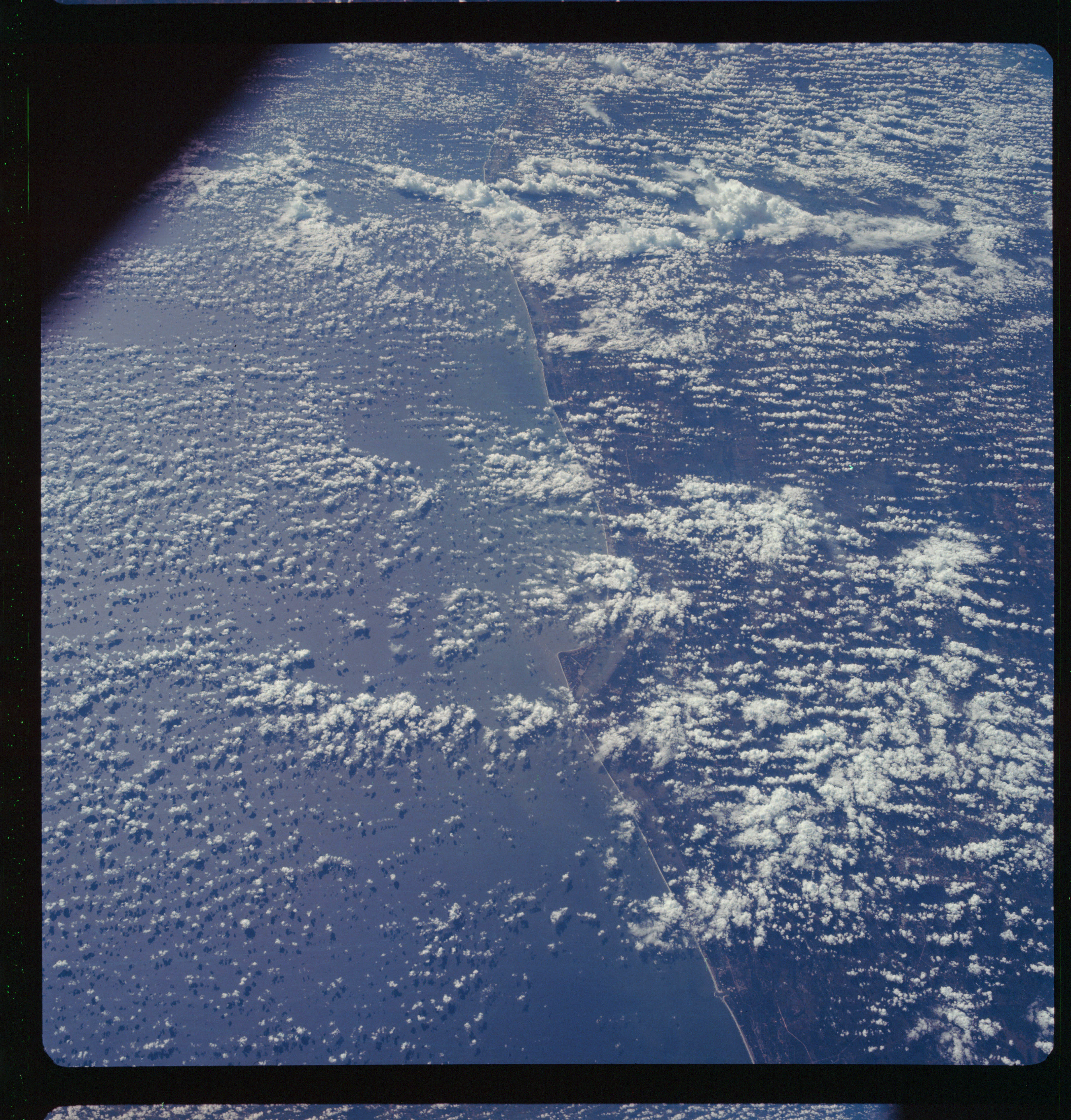 | AS07-11-2017 GEOGRAPHY/CARTOGRAPHY: Florida, Ponce de Leon Inlet, East Coast, Cape Kennedy. (Dark) METEOROLOGY: Small cumulus, towering cumulus. Image credit: Image Science and Analysis Laboratory, NASA-Johnson Space Center. |
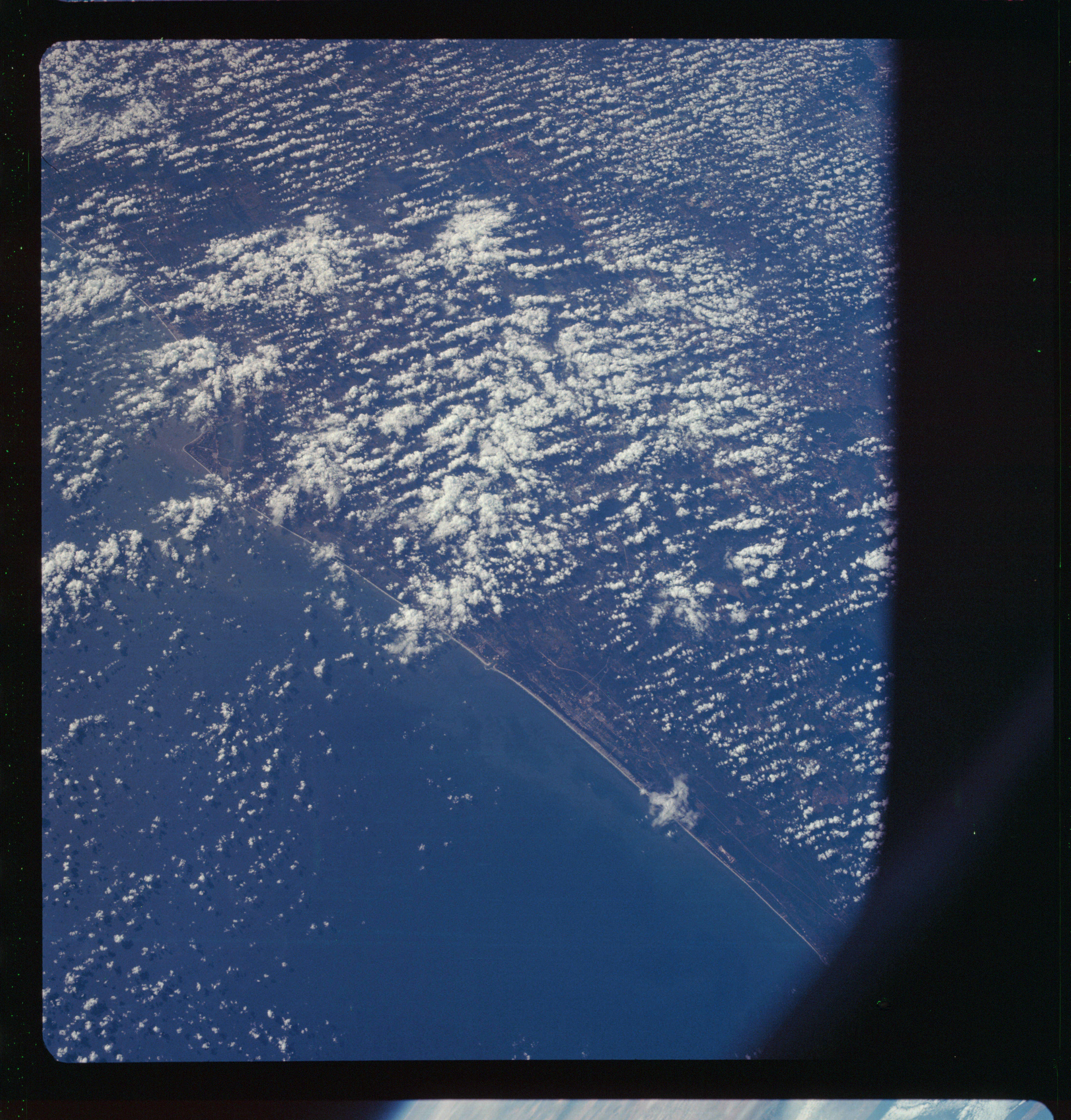 | AS07-11-2018 GEOGRAPHY/CARTOGRAPHY: Florida, Flagler Beach to Melbourne, Cape Kennedy. (Dark) METEOROLOGY: Small cumulus, towering cumulus. Image credit: Image Science and Analysis Laboratory, NASA-Johnson Space Center. |
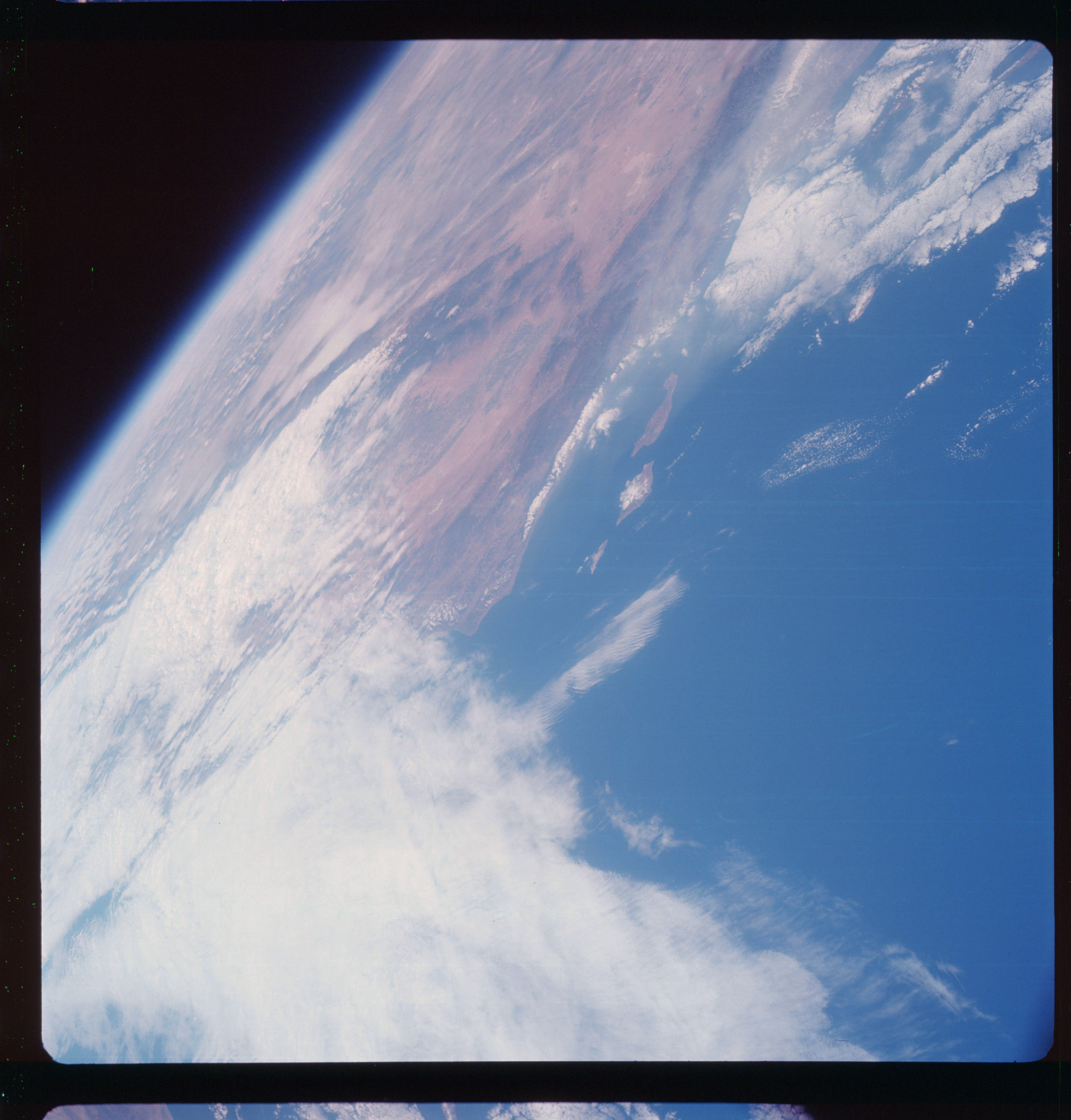 | AS07-11-2019 GEOGRAPHY/CARTOGRAPHY: California, Santa Cruz, San Miguel,and Santa Rosa Island, Santa Barbara, Santa Ynes Mountains, Pacific Ocean. GEOLOGY/HYDROLOGY: Alluvial coastal plain and complex mountain structure. FORESTRY: Scattered desert shrubform with intermittent forests at higher elevations. METEOROLOGY: Cirrus underlined by cumulus. Image credit: Image Science and Analysis Laboratory, NASA-Johnson Space Center. |
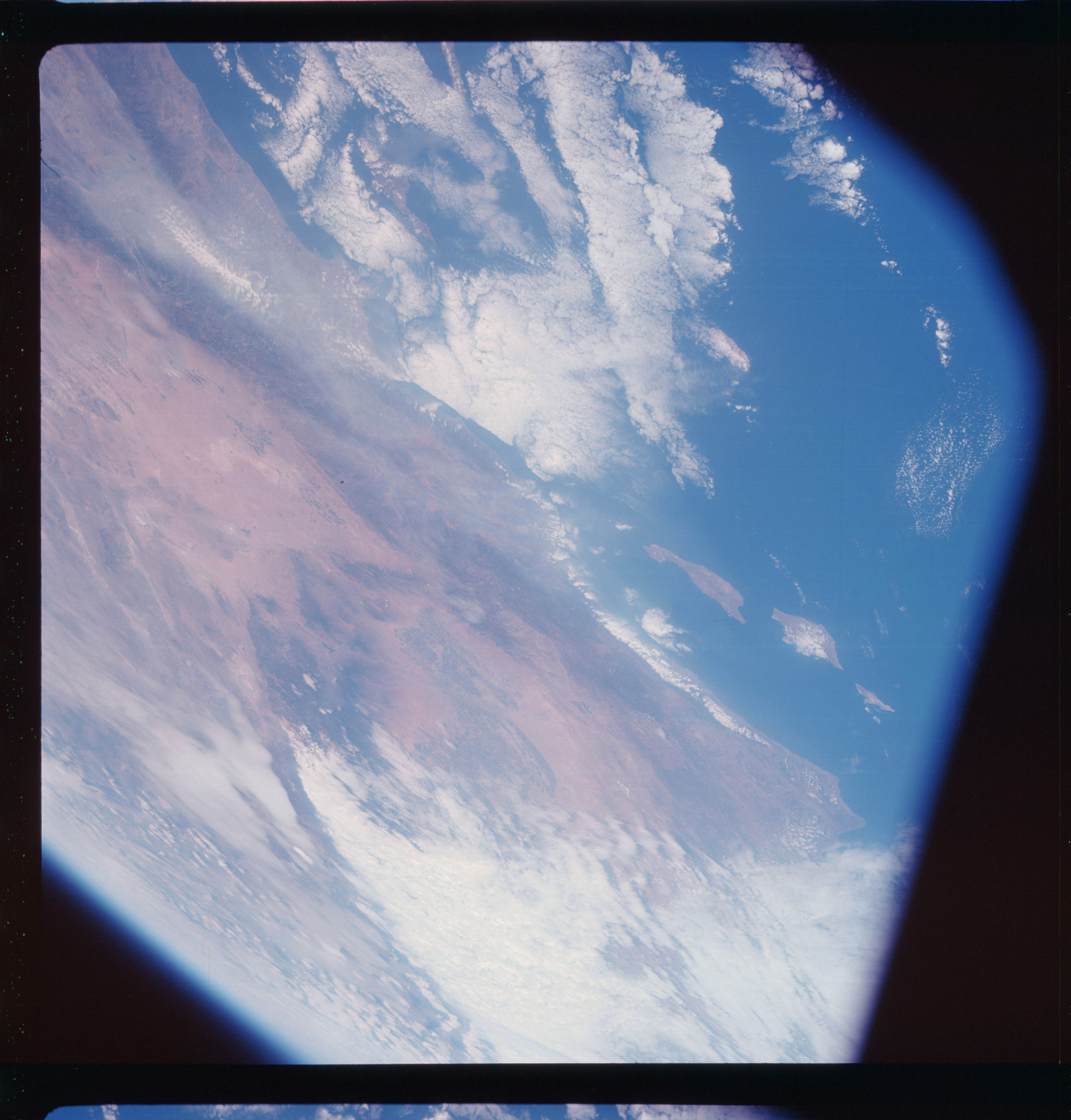 | AS07-11-2020 GEOGRAPHY/CARTOGRAPHY: California, Los Angeles, Oceanside, Point Arquello, Mojave Desert, Santa Ynes and San Rafael Mts., Pacific Ocean. AGRICULTURE: Extensive cultivation patterns, possible irrigation. GEOLOGY/HYDROLOGY: Pacific sedimentary and basement complex mountains. Mojave Desert plain and San Jaoquin valley bordered by folded mountain complexes. FORESTRY: Desert shrubform with intermittent forest stands at higher elevations. METEOROLOGY: Strato-cumulus, alto-cumulus. Image credit: Image Science and Analysis Laboratory, NASA-Johnson Space Center. |
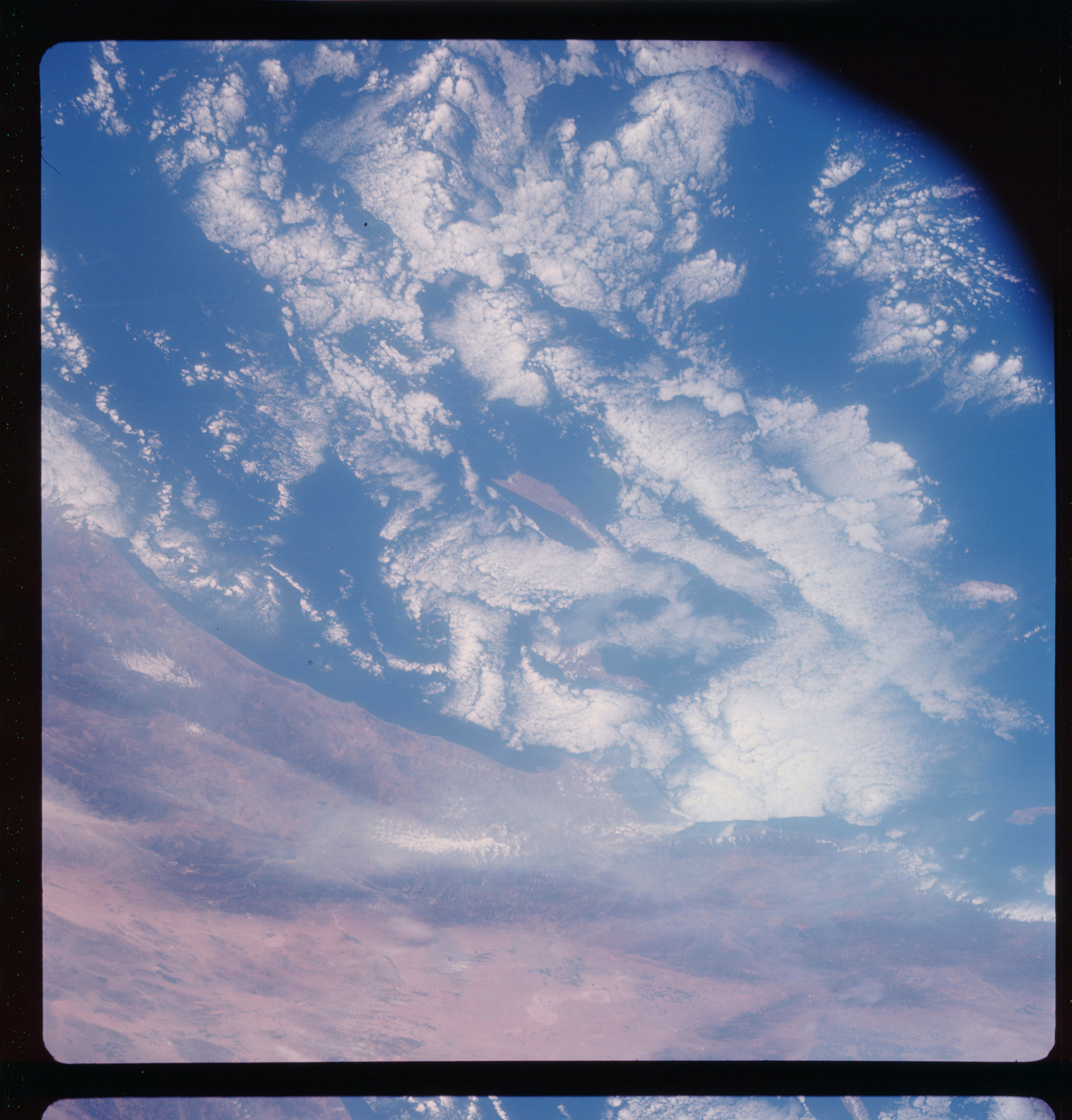 | AS07-11-2021 GEOGRAPHY/CARTOGRAPHY: California, Santa Barbara, Los Angeles, Oceanside, Pacific Mountain Ranges, Mojave Desert, Pacific Ocean. AGRICULTURE: Isolated areas of cultivation. GEOLOGY/HYDROLOGY: Folded coastal range mountains and Mojave desert plain with large dry salt lake deposits. FORESTRY: Desert shrubform with intermittent forest stands at higher elevations. METEOROLOGY: Cumulus, strato-cumulus. Image credit: Image Science and Analysis Laboratory, NASA-Johnson Space Center. |
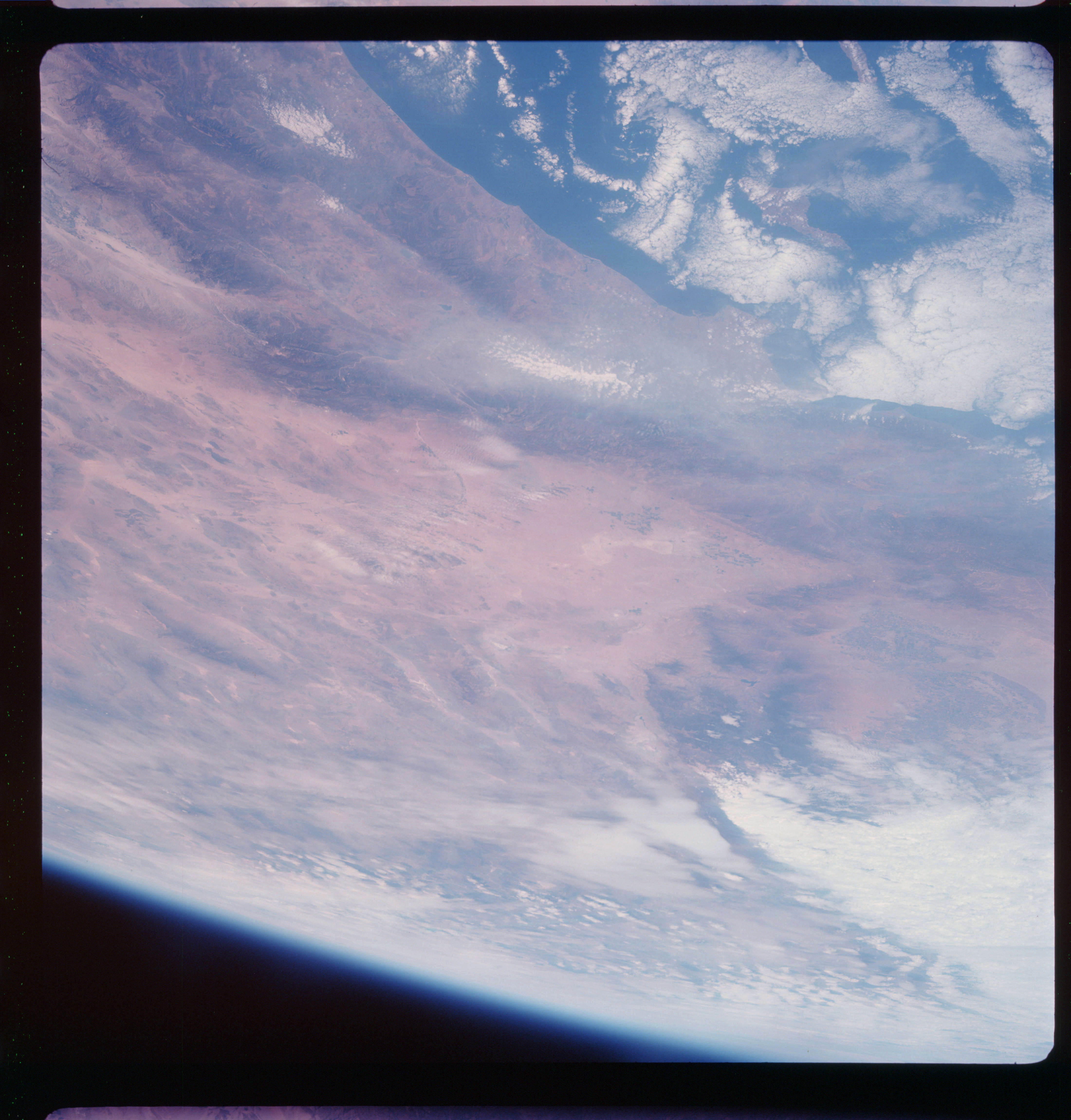 | AS07-11-2022 GEOGRAPHY/CARTOGRAPHY: California, Los Angeles to Oceanside, San Gabriel Mountains, Mojave Desert, San Joaquin Valley. AGRICULTURE: Extensive irrigated field patterns. GEOLOGY/HYDROLOGY: Complex folded Pacific Mountain, Basin and range province and numerous dry salt lake regions. The sedimentary Pacific range contains both perennial and intermittent streams. FORESTRY: Desert shrubform with intermittent forest stands at higher elevations. METEOROLOGY: Cumulus, strato-cumulus. Image credit: Image Science and Analysis Laboratory, NASA-Johnson Space Center. |
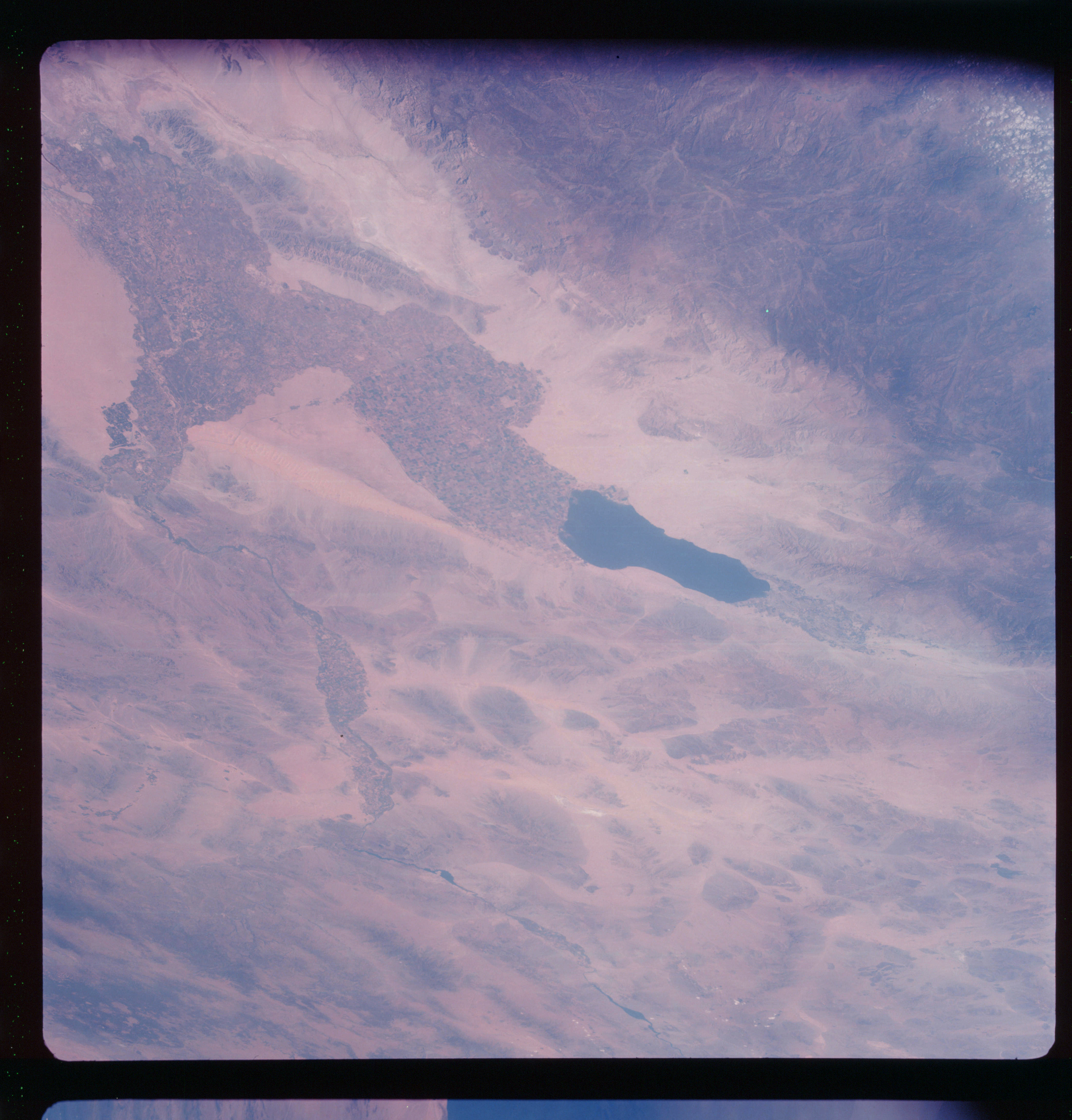 | AS07-11-2023 GEOGRAPHY/CARTOGRAPHY: California, Mexico, Baja California, Imperial Valley, Mexacali, Salton Sea, Basin and Range. AGRICULTURE: Very extensive, irregular cultivation, field patterns easily recognizable. GEOLOGY/HYDROLOGY: Complex mountains, volcanic and alluvial deposits in the basin and range perennial Colorado River, intermittent streams and dry salt lake deposits. FORESTRY: Scattered desert shrubform. METEOROLOGY: Small isolated cumulus. Image credit: Image Science and Analysis Laboratory, NASA-Johnson Space Center. |
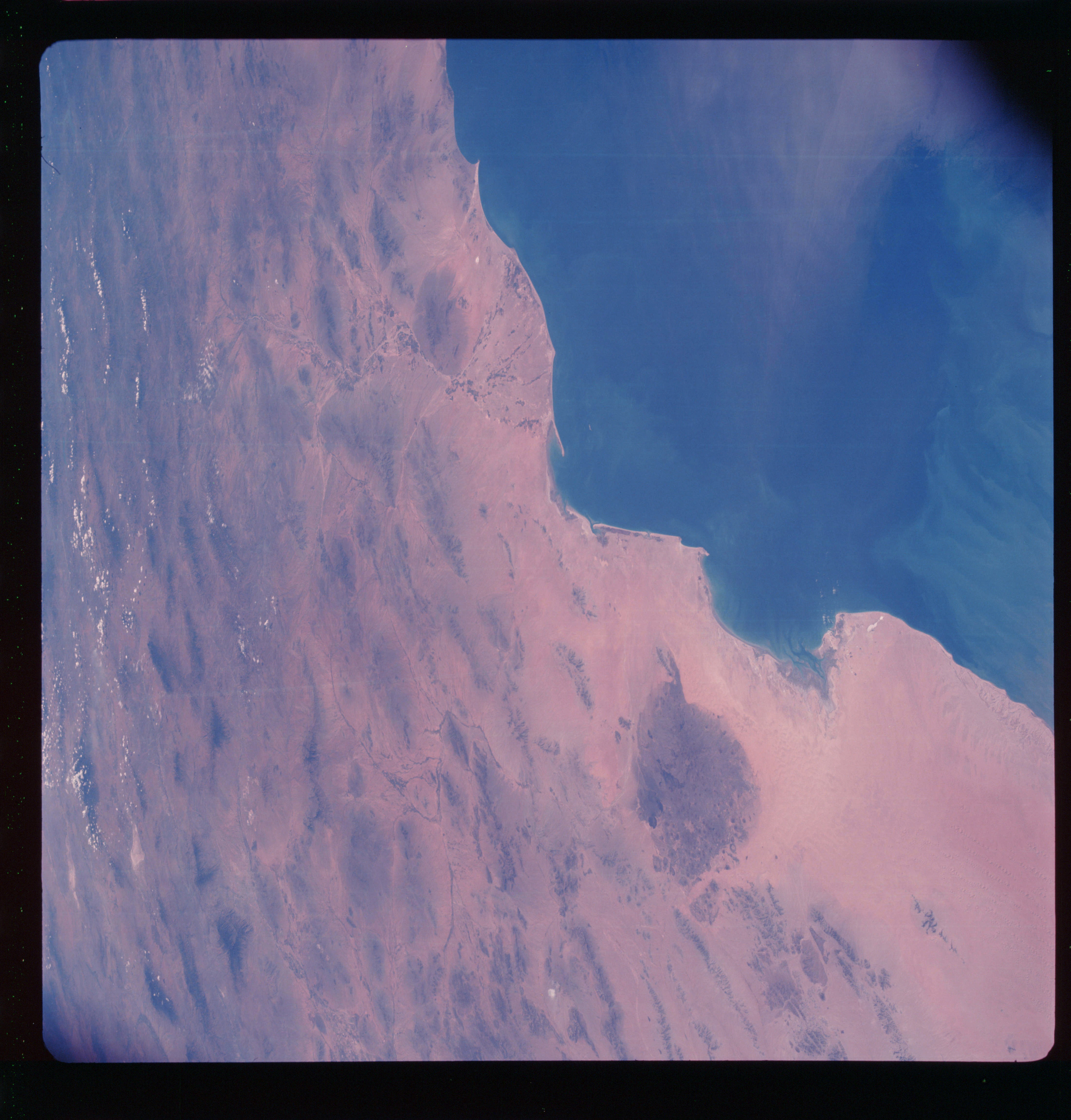 | AS07-11-2024 GEOGRAPHY/CARTOGRAPHY: Mexico, Arizona, Gulf of California, Sonora Desert, Tucson, Wilcox, Dry lake, De Aquar Bay. AGRICULTURE: Extensive cultivation, field patterns along Rio de la Concepcion. GEOLOGY/HYDROLOGY: Basin and range province, volcanic mountains, alluvial plains, pinacates lava field, and lateral dune formations. FORESTRY: Scattered desert shrubform. OCEANOGRAPHY: Distinct currents and off shore sedimentation. Image credit: Image Science and Analysis Laboratory, NASA-Johnson Space Center. |
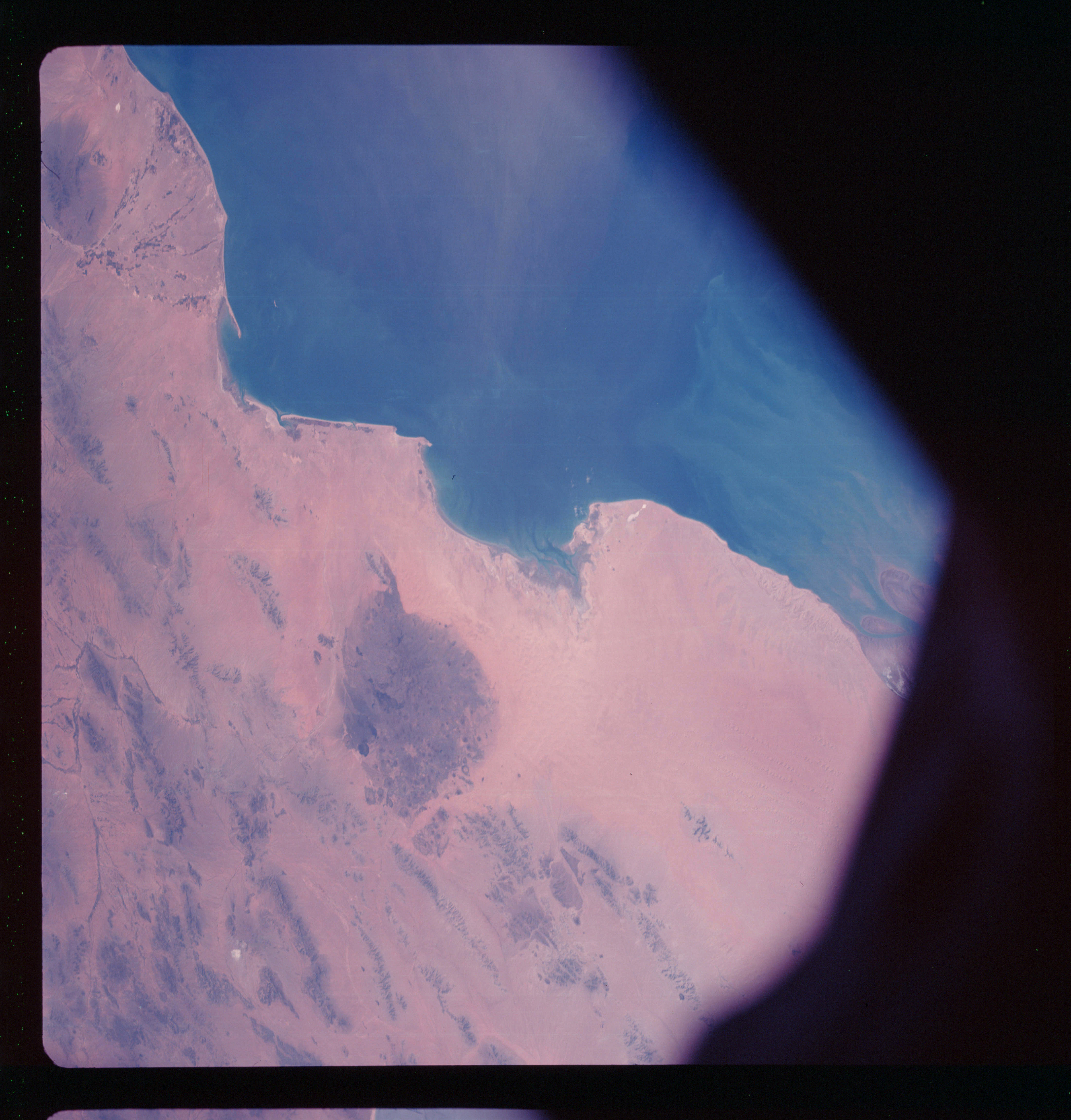 | AS07-11-2025 GEOGRAPHY/CARTOGRAPHY: Mexico, Arizona, Sonora Desert, Gulf of California, Rio Sonoyta, Rio de la Concepcion. AGRICULTURE: Extensive cultivation along Rio de la Concepcion. GEOLOGY/HYDROLOGY: Basin and range province, pinacates lava field, alluvial and dunal deposits, intermittent drainage is prevalent and sedimentation outflow from the Colorado River. FORESTRY: Scattered desert shrubform. OCEANOGRAPHY; Currents and off shore sedimentation. Image credit: Image Science and Analysis Laboratory, NASA-Johnson Space Center. |
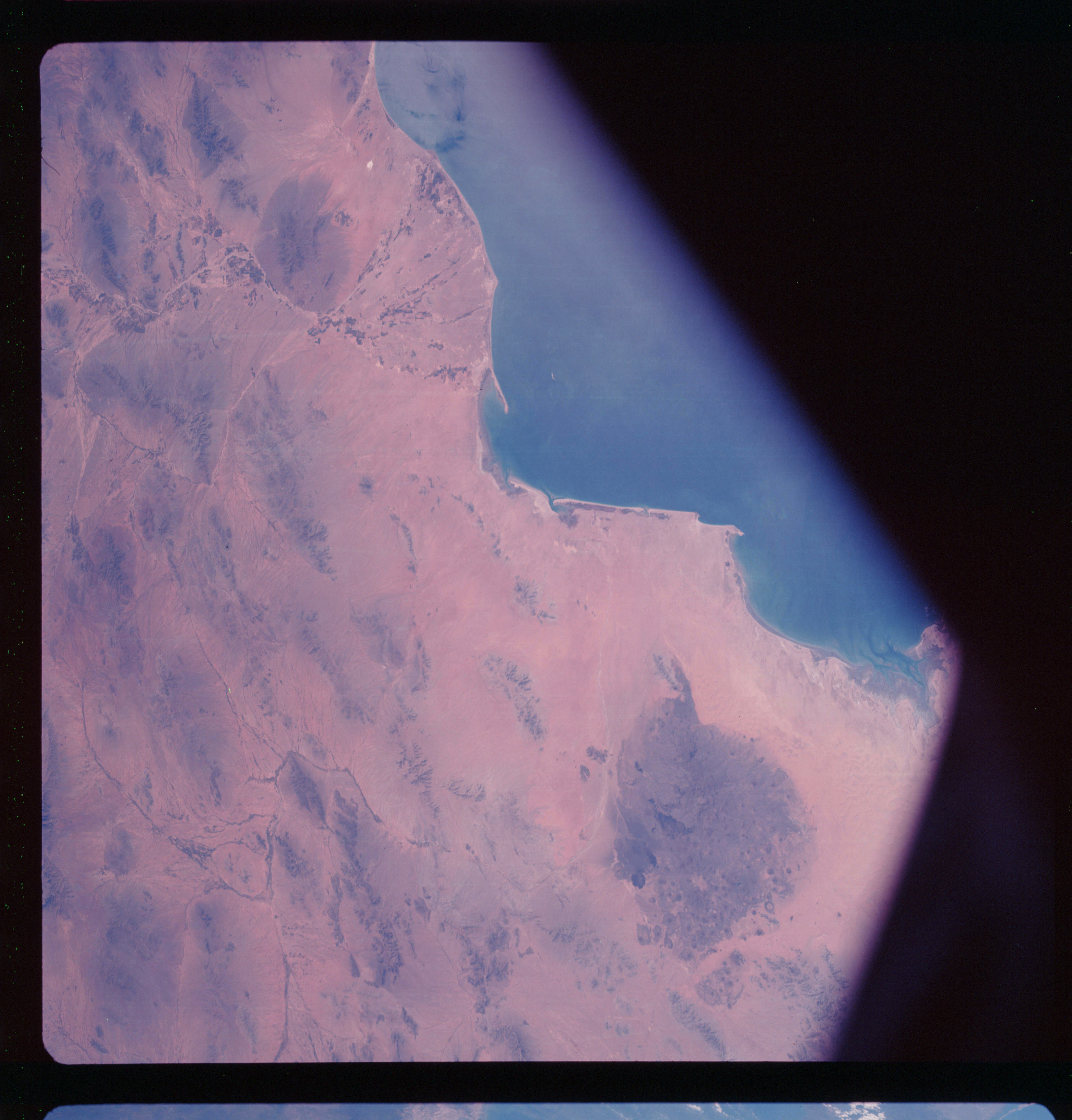 | AS07-11-2026 GEOGRAPHY/CARTOGRAPHY: Mexico, Arizona, Sonora Desert, Gulf of California, Rio de la Concepcion. AGRICULTURE: Extensive cultivation along Rio de la Concepcion. GEOLOGY/HYDROLOGY: Basin and range province, volcanic and dune deposits. Deltaic plain and intermittent drainage. FORESTRY: Scattered desert shrubform. OCEANOGRAPHY: Sediments in suspension and currents adjacent to coast. Image credit: Image Science and Analysis Laboratory, NASA-Johnson Space Center. |
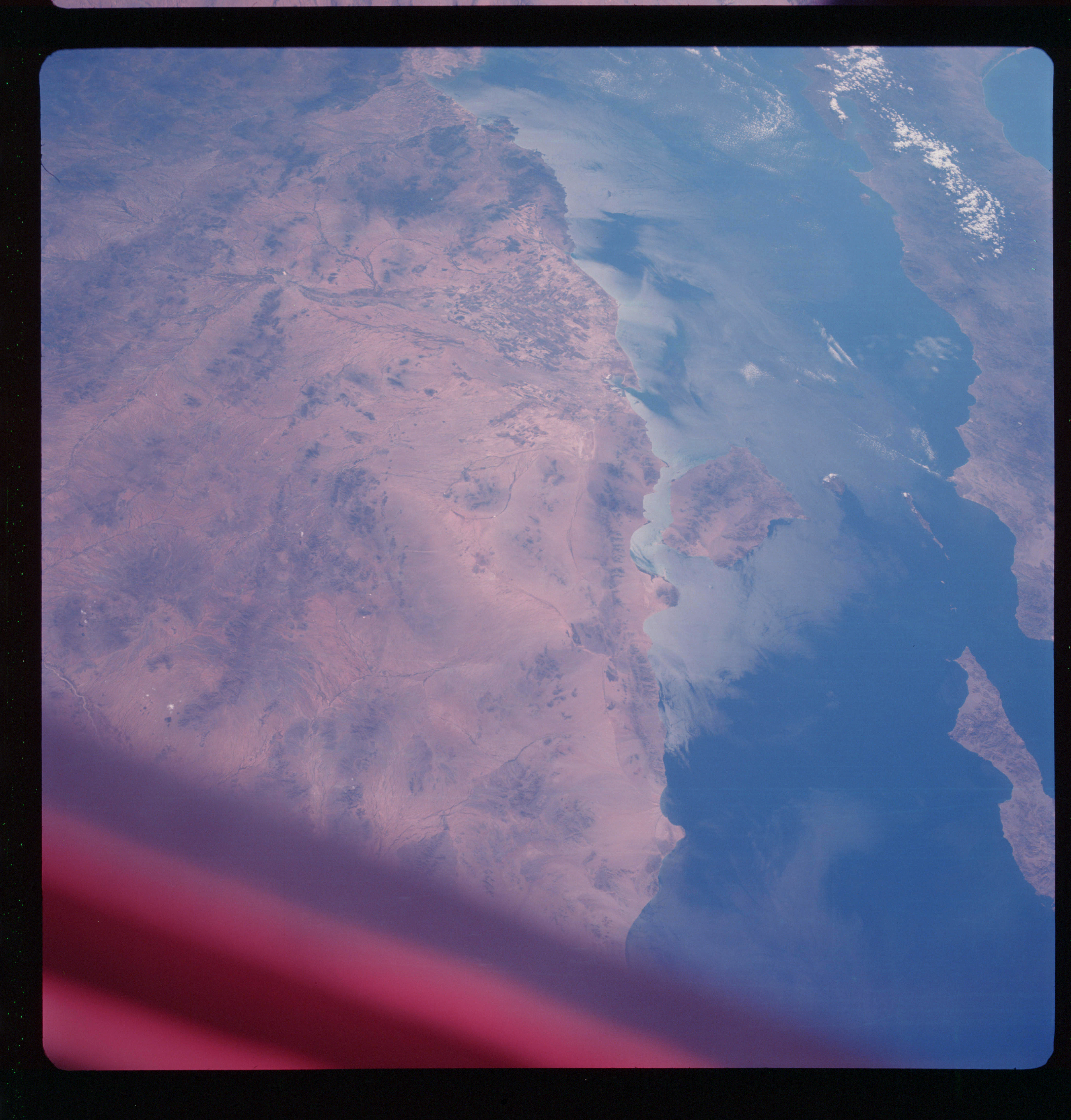 | AS07-11-2027 GEOGRAPHY/CARTOGRAPHY: Mexico, Baja California, Isla Tiburon, Isla Angel de le Guarda, Guaymas, Hermosillo. AGRICULTURE: Extensive cultivation in Sonora River Delta. GEOLOGY/HYDROLOGY: Basement complex hills and mountains, Sonora plains and complex Sierra Madre Occidental. FORESTRY: Scattered desert shrubform. METEOROLOGY: Small cumulus. OCEANOGRAPHY: Sedimentation and currents along the coast. Sun-glint exposing surface activities. Image credit: Image Science and Analysis Laboratory, NASA-Johnson Space Center. |
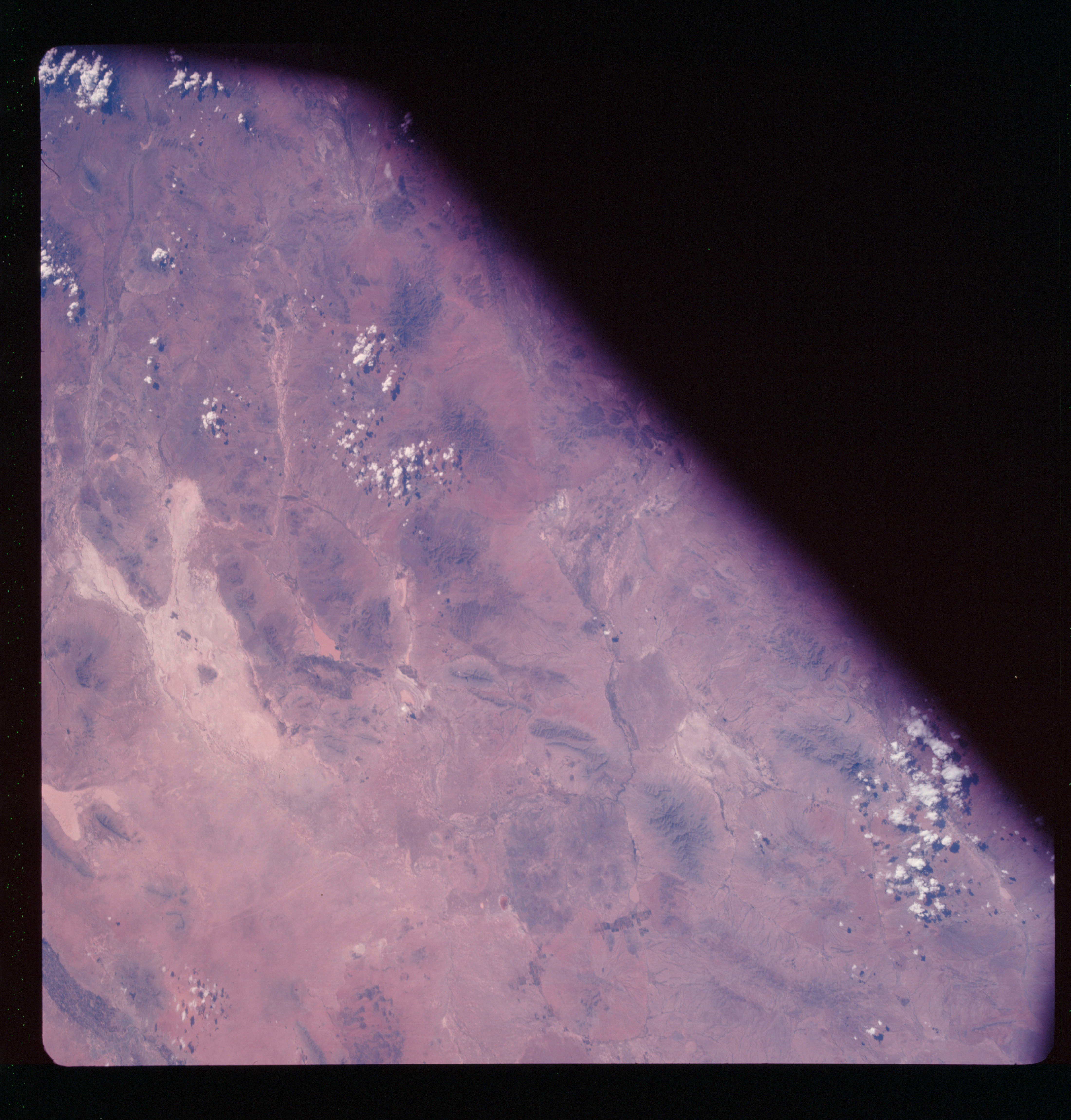 | AS07-11-2028 GEOGRAPHY/CARTOGRAPHY: Mexico, New Mexico, Chimuahua, Taguna De Guzman, El Faso, Rio Grande. AGRICULTURE: Scattered, intense cultivation along Rio Grande and in New Mexico. GEOLOGY/HYDROLOGY: Basin and range terrain, dry salt lake deposits, perennial and intermittent drainage. FORESTRY: Scattered desert shrubform with semi-dense evergreen stands at high elevations. METEOROLOGY: Small cumulus. Image credit: Image Science and Analysis Laboratory, NASA-Johnson Space Center. |
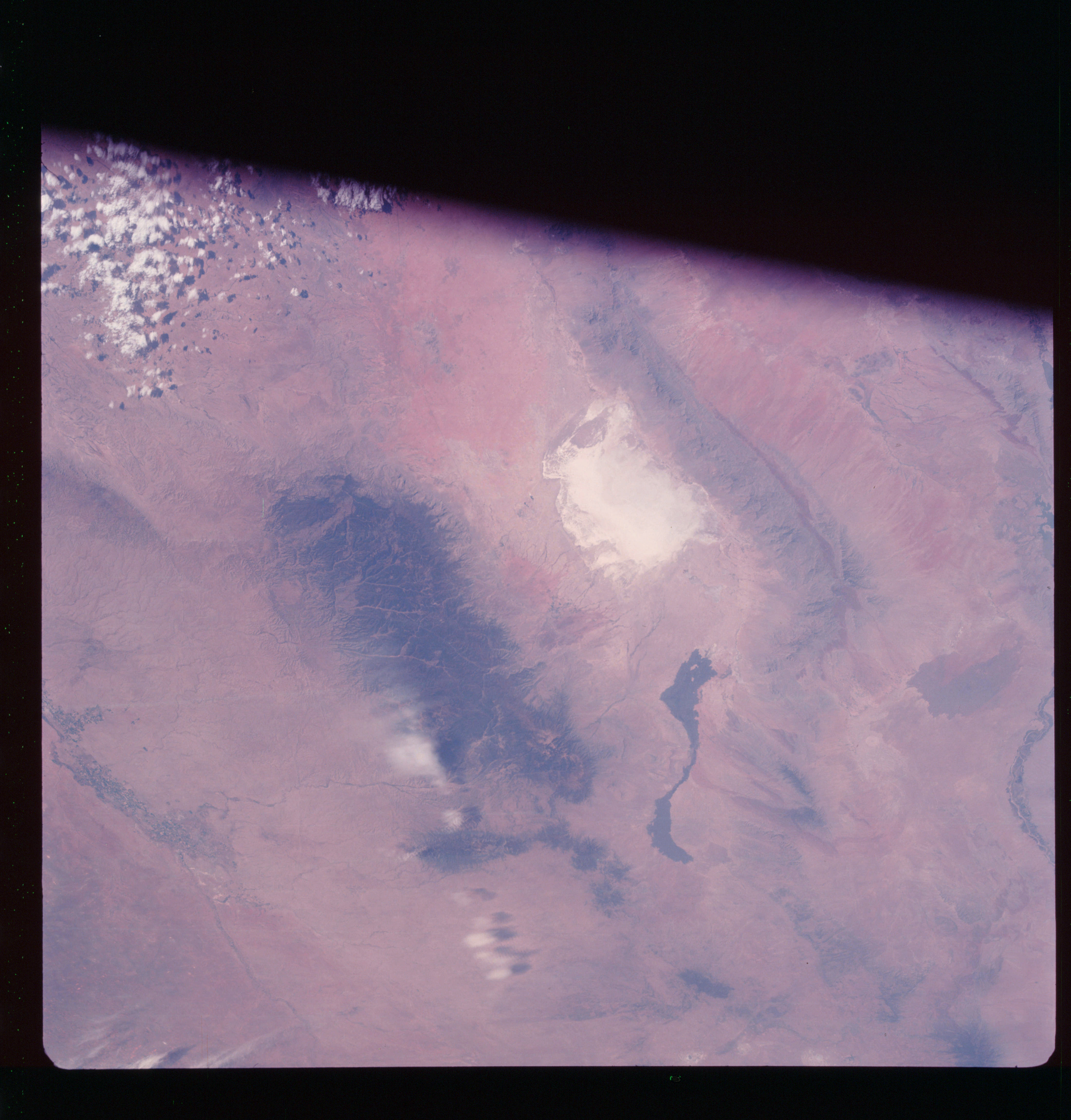 | AS07-11-2029 GEOGRAPHY/CARTOGRAPHY: New Mexico, White Sands, Alamogordo, Sacramento and San Andres Mountains, Pecos River. AGRICULTURE: Intense field pattern along Pecos River at Roswell and Artesia New Mexico. GEOLOGY/HYDROLOGY: Complex sedimentary mountains, alluvial plains, alkali basin deposit and intermittent streams. FORESTRY: Scattered desert shrubform with mixed conifer-hardwood forests in Sacramento mountains. METEOROLOGY: Cumulus. Image credit: Image Science and Analysis Laboratory, NASA-Johnson Space Center. |
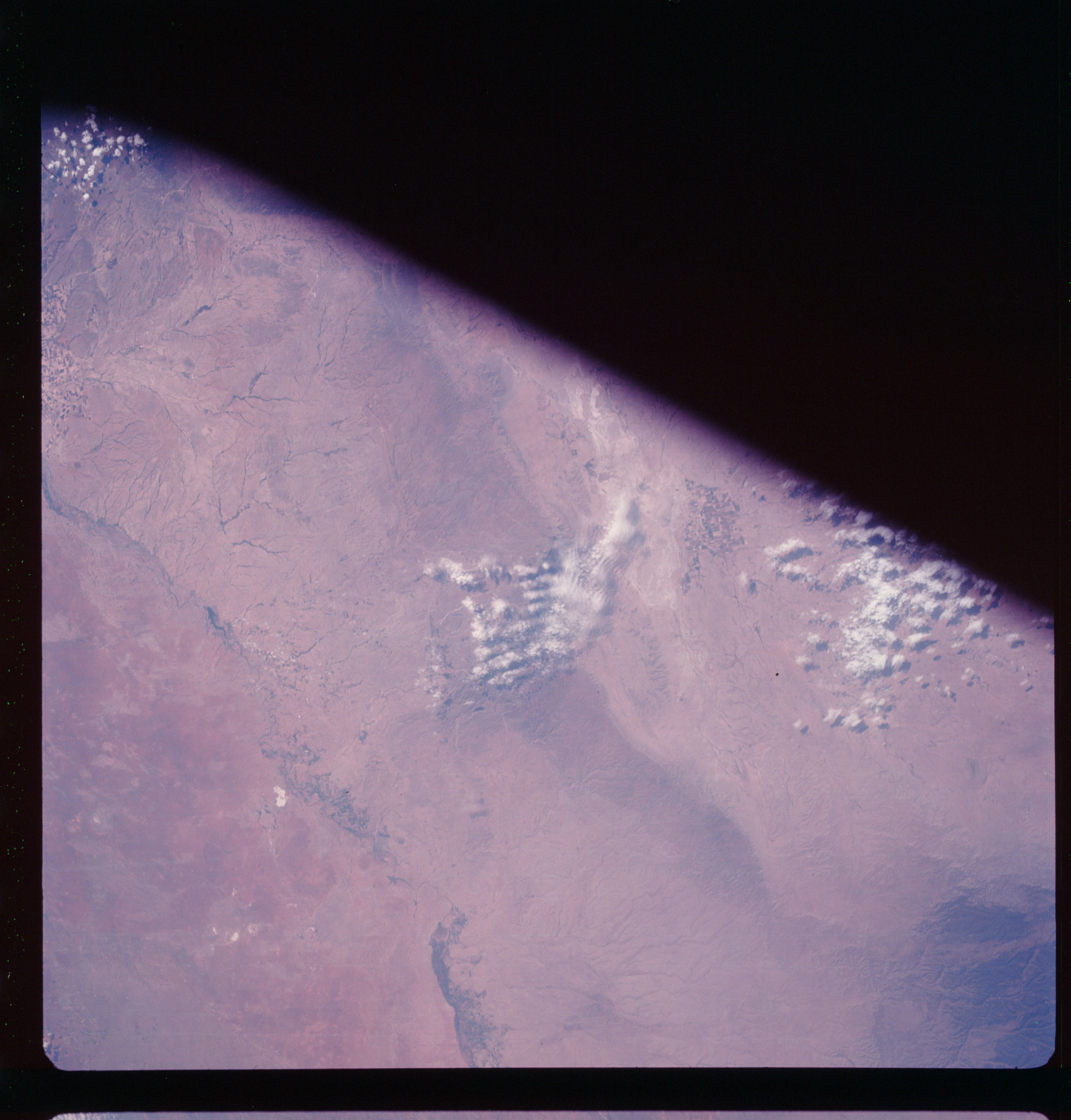 | AS07-11-2030 GEOGRAPHY/CARTOGRAPHY: New Mexico, Texas, Carlsbad, Sacramento Mountains, Salt Flat. AGRICULTURE: Intense along Pecos River. GEOLOGY/HYDROLOGY: Elevated alluvial plains, sedimentary mountains and intermittent drainage. FORESTRY: Scattered desert shrubform with mixed conifer-hardwood forests in Sacramento ranges. METEOROLOGY: Cumulus, towering cumulus. Image credit: Image Science and Analysis Laboratory, NASA-Johnson Space Center. |
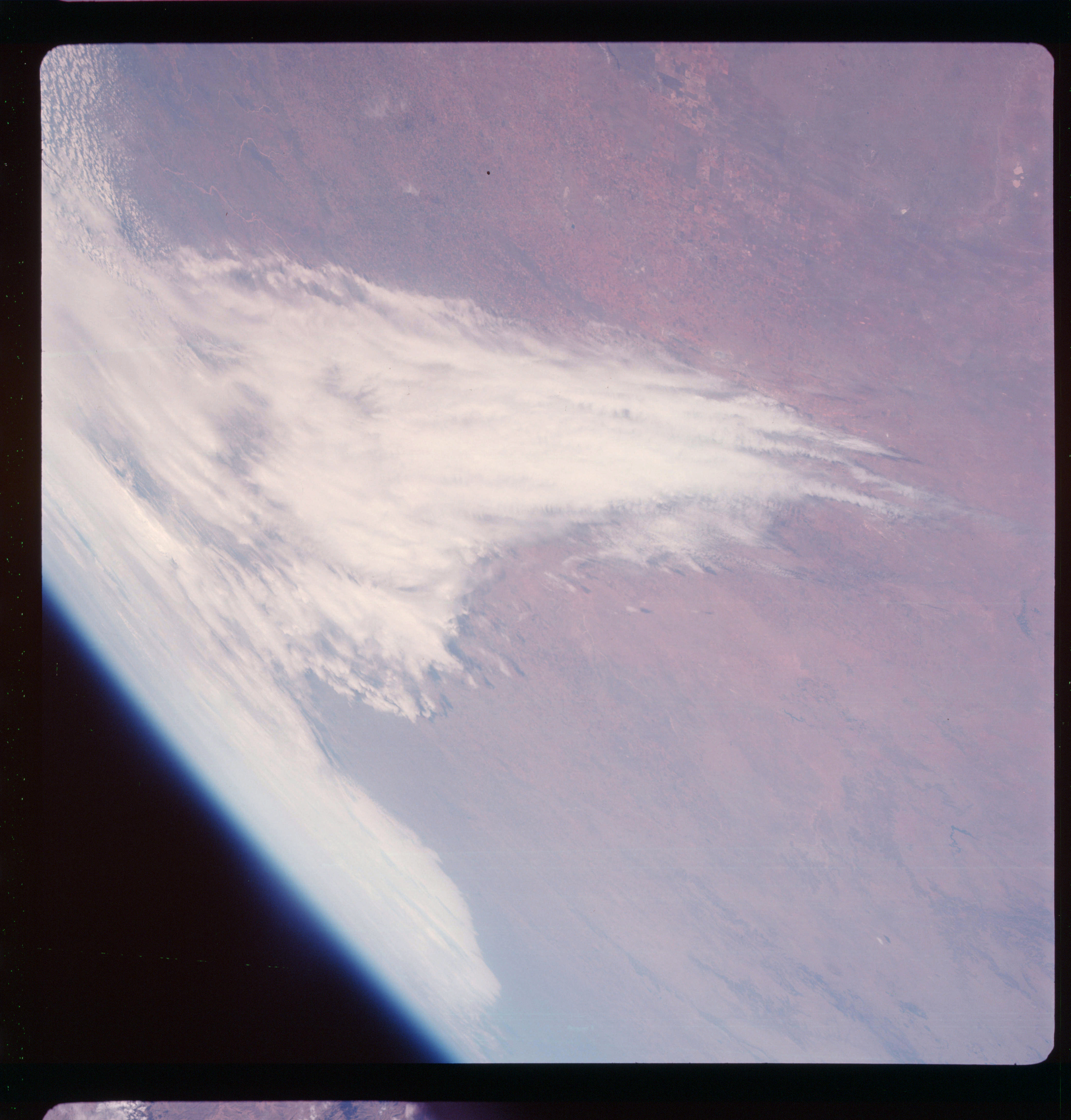 | AS07-11-2031 GEOGRAPHY/CARTOGRAPHY: New Mexico, Texas, Roswell, Lubbeck, Llano Estacado. AGRICULTURE: Extensive cultivation, large rectangular field pattern. GEOLOGY/HYDROLOGY: Central basin platform, intermittent drainage. FORESTRY: Scattered to dense shrubform. METEOROLOGY: Cirrus, cumulus. Image credit: Image Science and Analysis Laboratory, NASA-Johnson Space Center. |
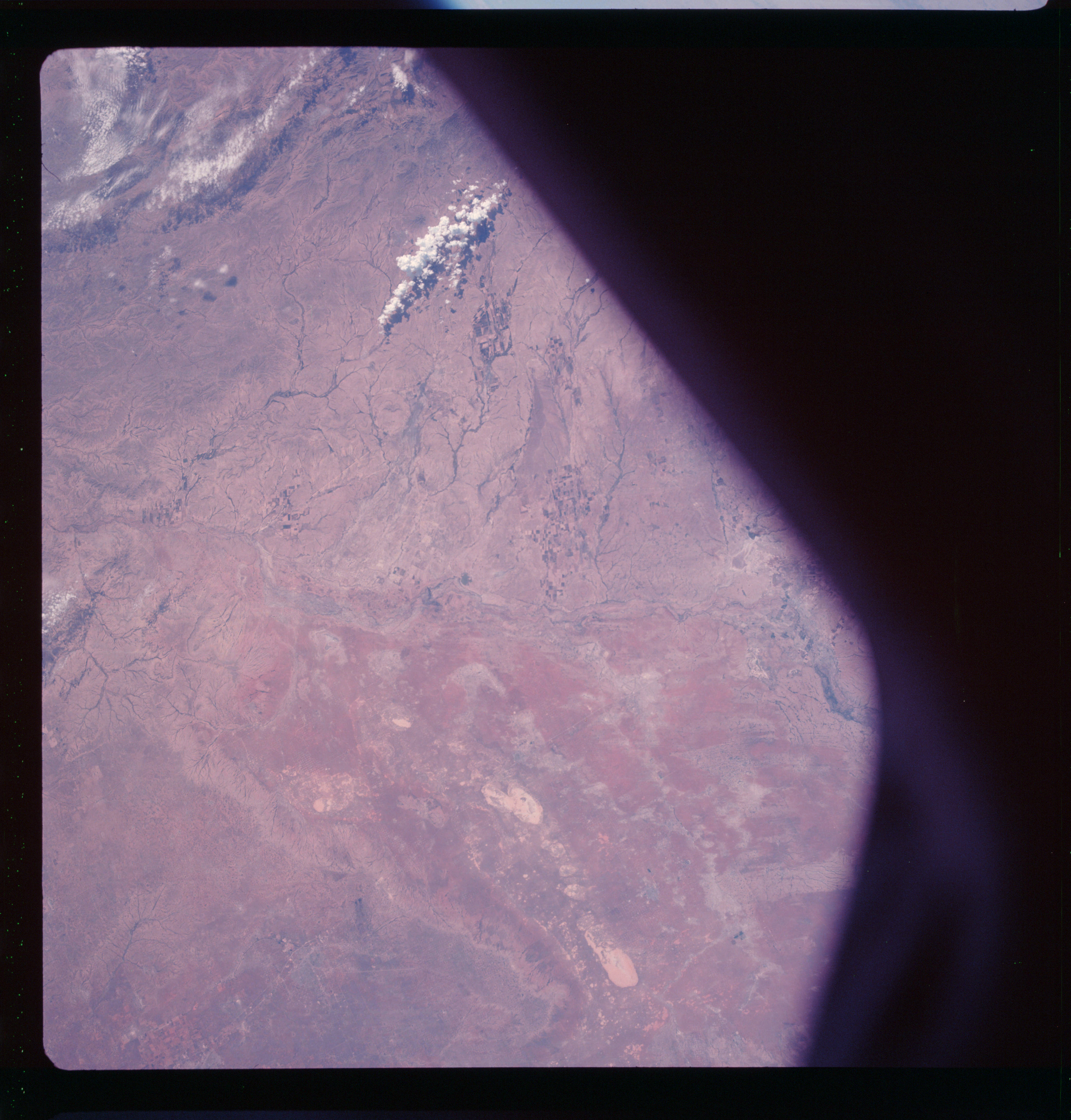 | AS07-11-2032 GEOGRAPHY/CARTOGRAPHY: New Mexico, Texas, Odessa, Monahans, Fort Stockton, Central Basin, Platform. AGRICULTURE: Scattered areas of intense cultivation. GEOLOGY/HYDROLOGY: Sedimentary plains and Edwards plateau region. Drainage is intermittent throughout. FORESTRY: Scattered low shrubform. METEOROLOGY: Cumulus, towering cumulus. Image credit: Image Science and Analysis Laboratory, NASA-Johnson Space Center. |
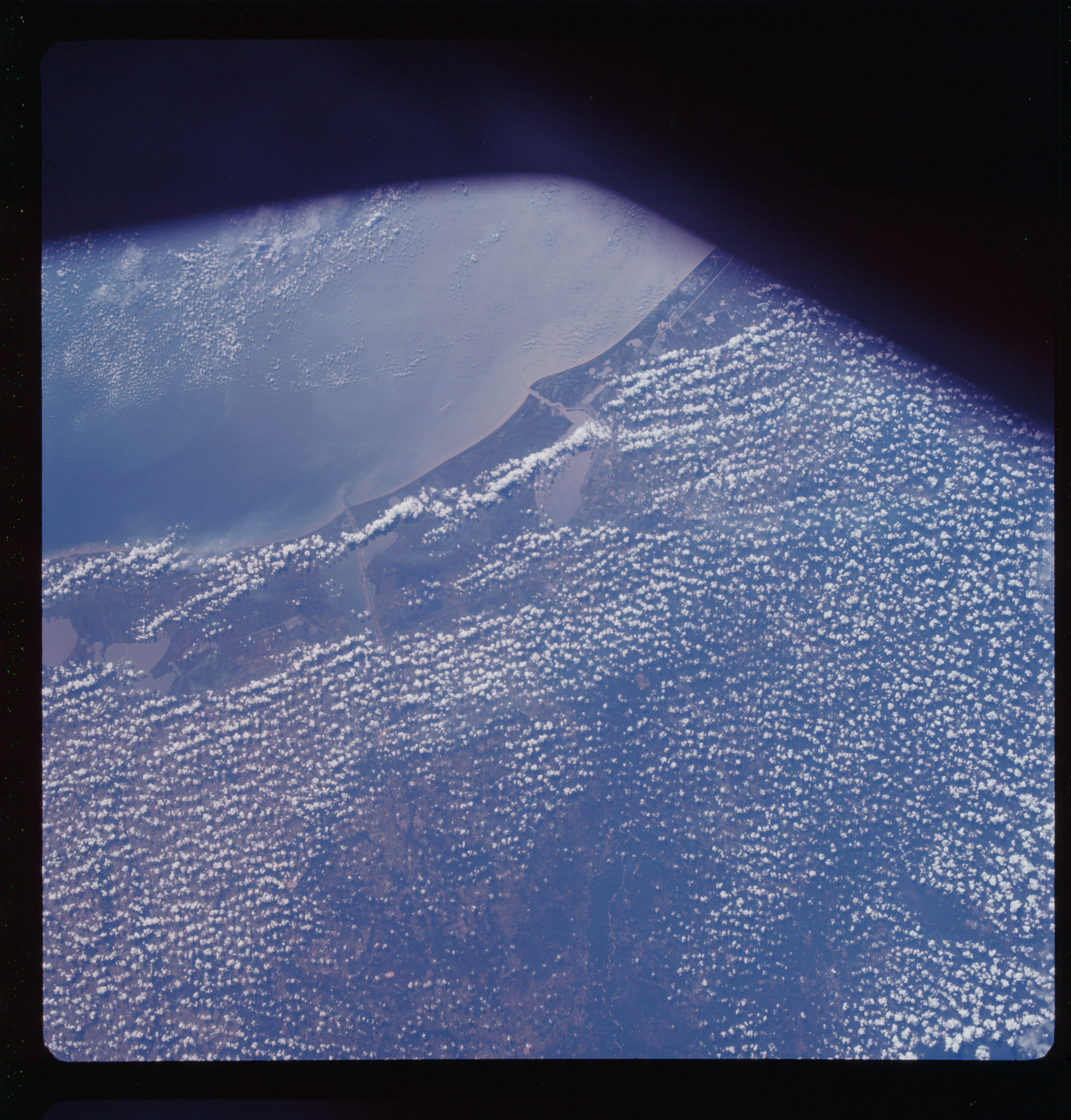 | AS07-11-2033 GEOGRAPHY/CARTOGRAPHY: Texas, Louisiana, Gulf Coast, Port Arthur, Lake Charles. AGRICULTURE: Large areas of cultivation around Lake Charles. GEOLOGY/HYDROLOGY: Coastal plain of sedimentary beds. FORESTRY: Semi-dense to dense pine-hardwood forests. METEOROLOGY: Small cumulus. OCEANOGRAPHY: Sedimentation deposits along coast. Image credit: Image Science and Analysis Laboratory, NASA-Johnson Space Center. |
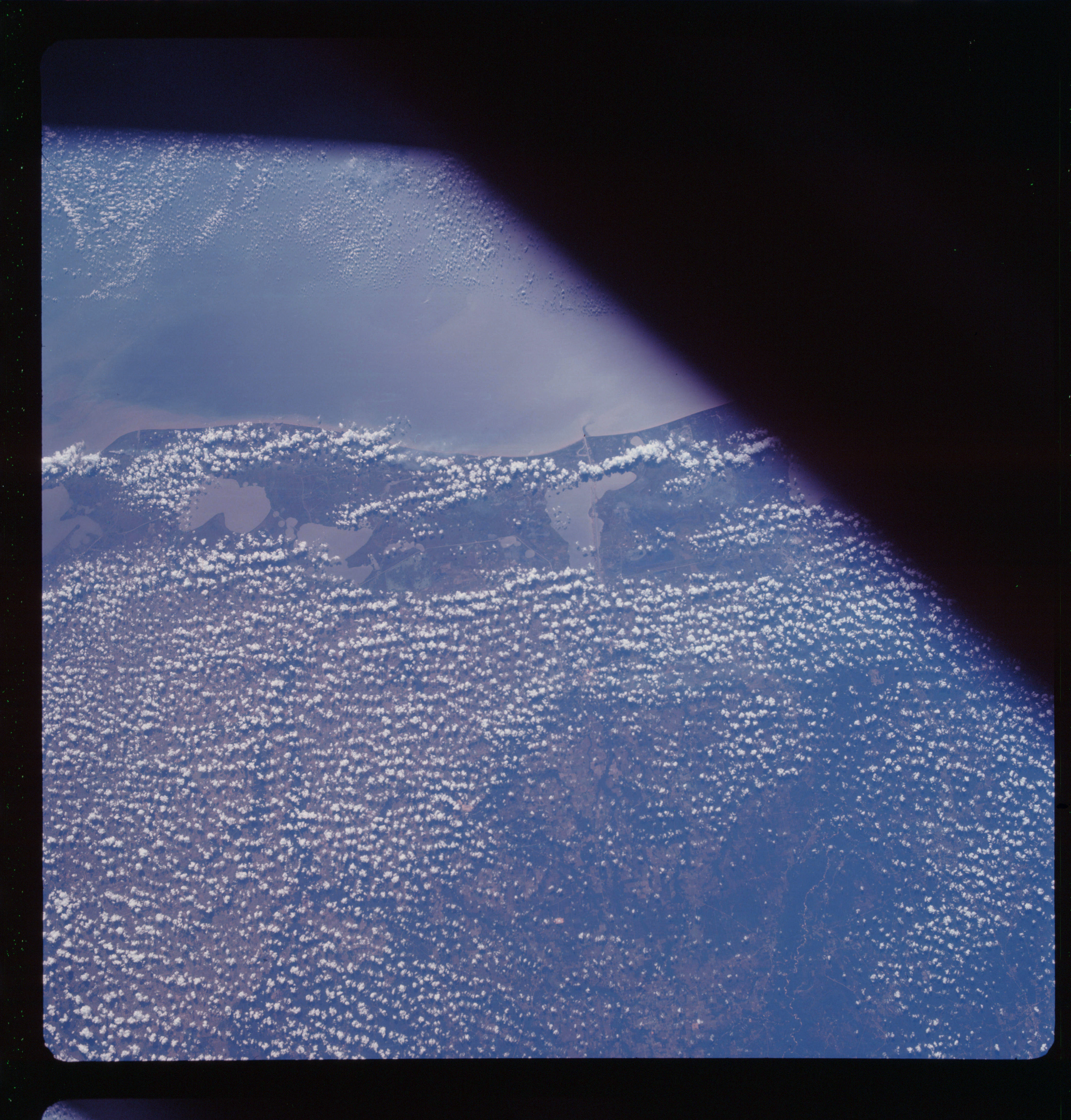 | AS07-11-2034 GEOGRAPHY/CARTOGRAPHY: Texas, Louisiana, Orange, Lake Charles, Opelousas, Coastal Plain, Sabine Pass, Vermilion Bay. AGRICULTURE: Extensive large percentage of land under cultivation. FORESTRY: Intermittent stands of mixed pine-hardwood forests. METEOROLOGY: Small cumulus. OCEANOGRAPHY: Sedimentation and current turbidity along the coast. Image credit: Image Science and Analysis Laboratory, NASA-Johnson Space Center. |
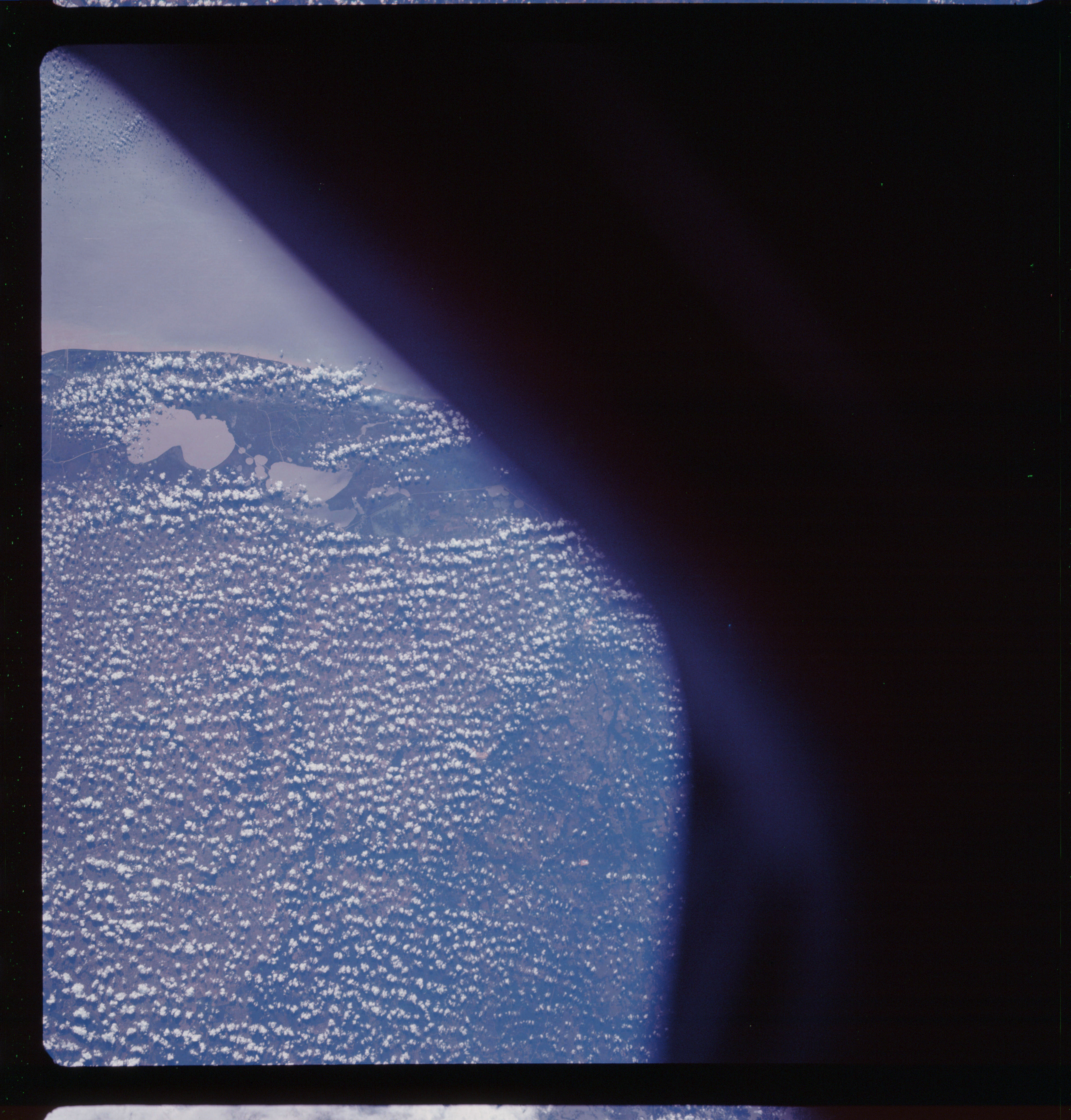 | AS07-11-2035 GEOGRAPHY/CARTOGRAPHY: Louisiana, Lake Charles, Crowley, Grand and White Lakes. AGRICULTURE: Extensive cultivation. FORESTRY: Intermittent stands of mixed pine-hardwood forests. METEOROLOGY: Small cumulus. OCEANOGRAPHY: Sedimentation along the coast. Image credit: Image Science and Analysis Laboratory, NASA-Johnson Space Center. |
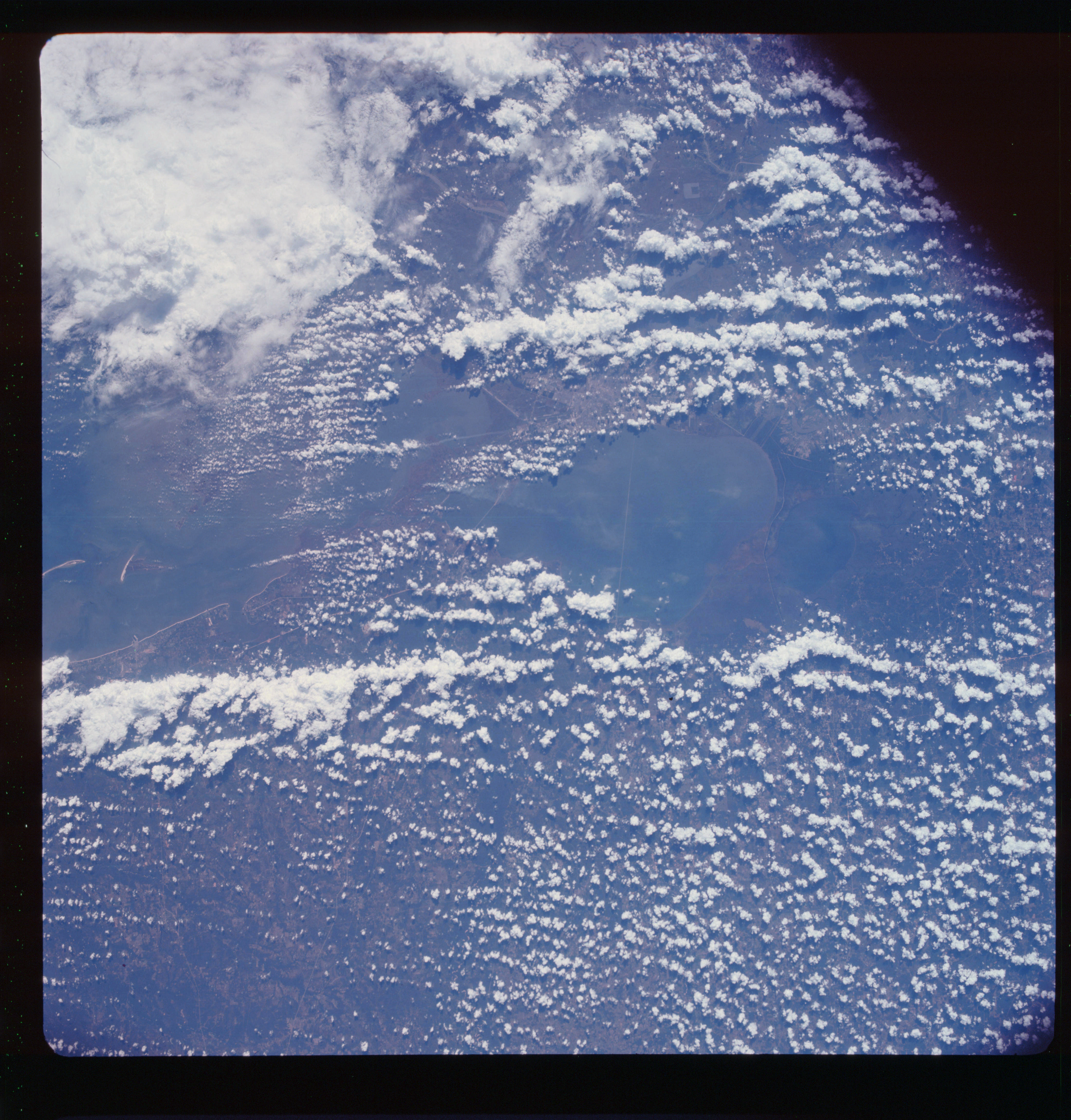 | AS07-11-2036 GEOGRAPHY/CARTOGRAPHY: Louisiana, Mississippi, Biloxi, New Orleans, Lake Ponchartrain. AGRICULTURE: Extensive cultivation. FORESTRY: Intermittent stands of pine bottom land hardwood forests. Coastal marsh grass. METEOROLOGY: Cumulus,cumulus-nimbus, alto-cumulus. OCEANOGRAPHY: Currents and possible depth anomalies. Image credit: Image Science and Analysis Laboratory, NASA-Johnson Space Center. |
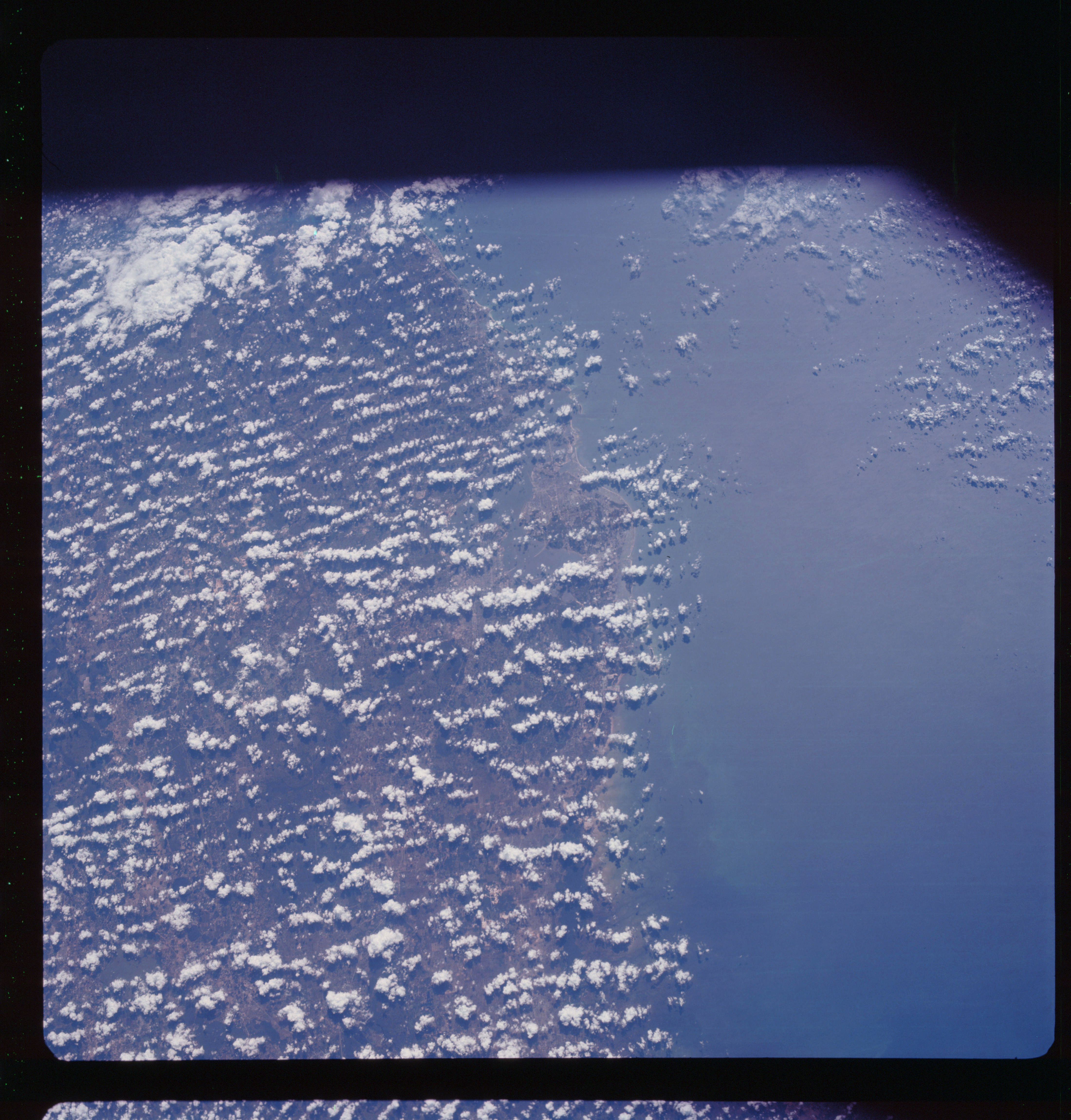 | AS07-11-2037 GEOGRAPHY/CARTOGRAPHY: Florida, Tampa, Sarasota, Lakeland, St. Petersburg, Gulf Coast - Coastal Plain region. AGRICULTURE: Scattered areas of semi-intense cultivation. FORESTRY: Intermittent stands of pine and bottom land hardwoods, coastal marsh grass. METEOROLOGY: Cumulus, alto-cumulus. OCEANOGRAPHY: Sun-glint and current changes are evident. Image credit: Image Science and Analysis Laboratory, NASA-Johnson Space Center. |
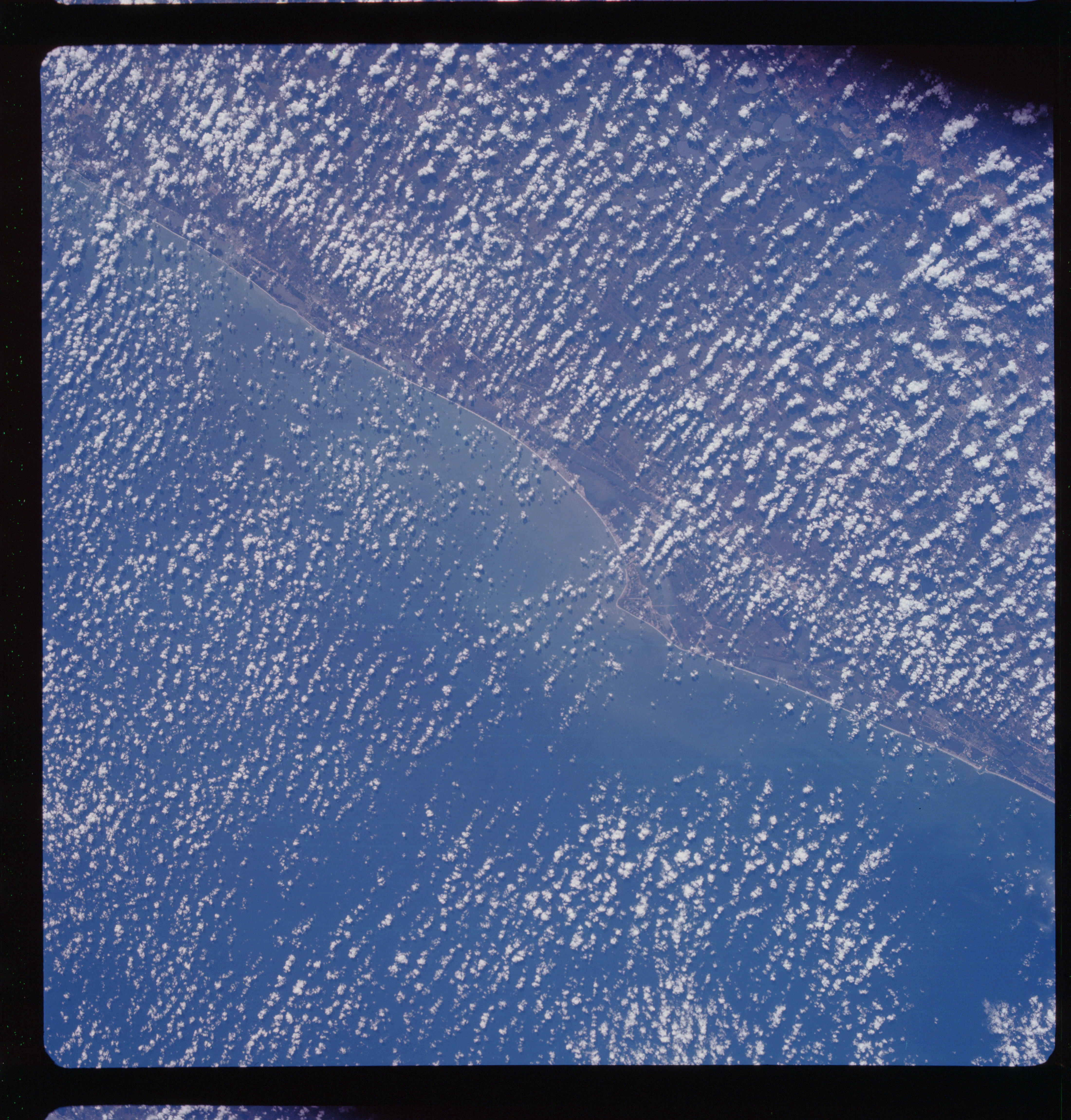 | AS07-11-2038 GEOGRAPHY/CARTOGRAPHY: New Smyrna, Palm Beach, Kennedy Space Center, Atlantic Coastal Plain. AGRICULTURE: Scattered field patterns. FORESTRY: Intermittent stands of pine, coastal grass, bottom land shrubform. METEOROLOGY: Cumulus. OCEANOGRAPHY: Currents along the coast are evident. Image credit: Image Science and Analysis Laboratory, NASA-Johnson Space Center. |
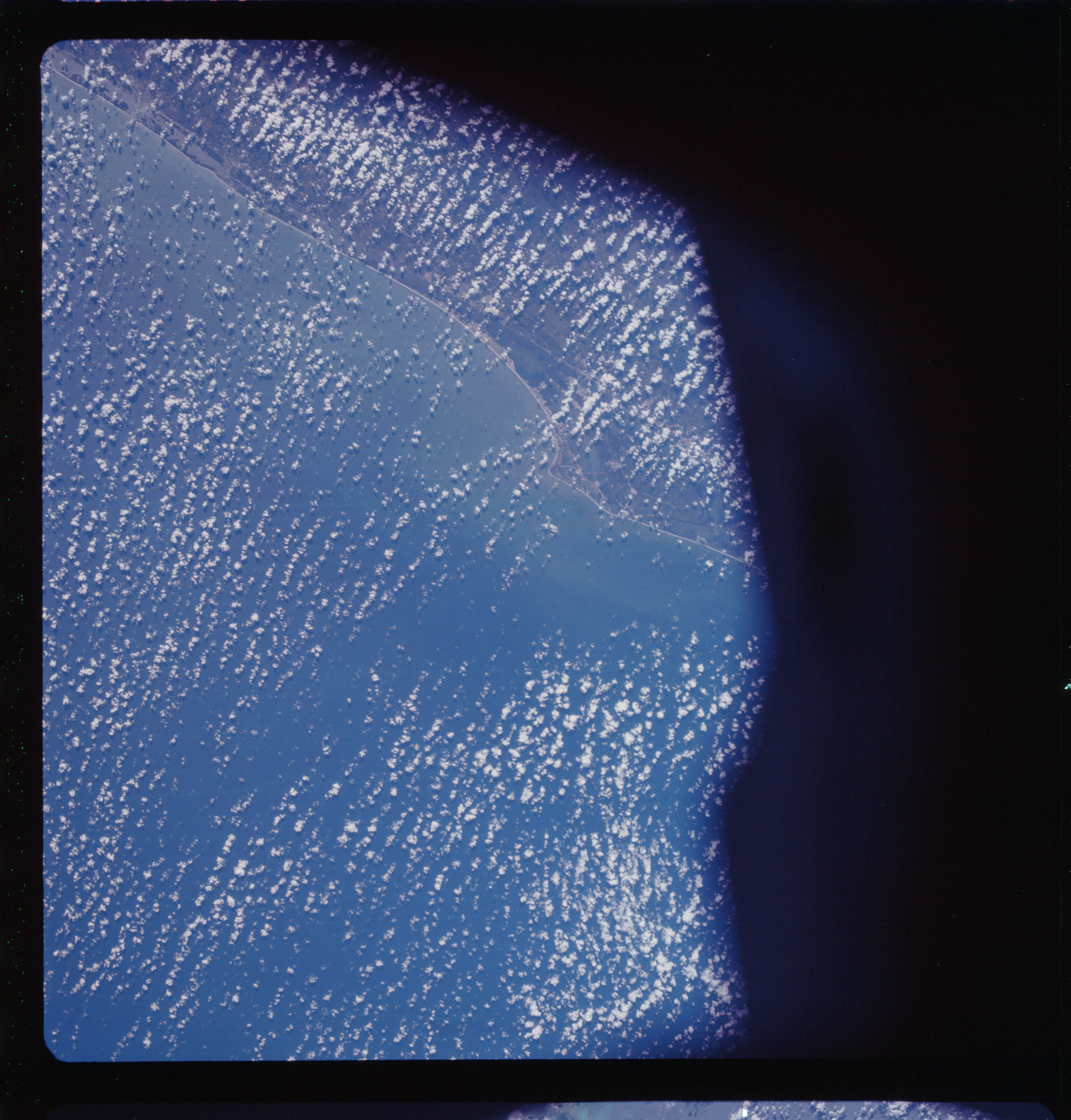 | AS07-11-2039 GEOGRAPHY/CARTOGRAPHY: Florida, Titusville, Fort Pierce, Stuart, Kennedy Space Center, Atlantic Coastal Plain. FORESTRY: Intermittent pine and bottom land hardwood low shrubform and coastal grass. METEOROLOGY: Cumulus. OCEANOGRAPHY: Currents are evident. Image credit: Image Science and Analysis Laboratory, NASA-Johnson Space Center. |
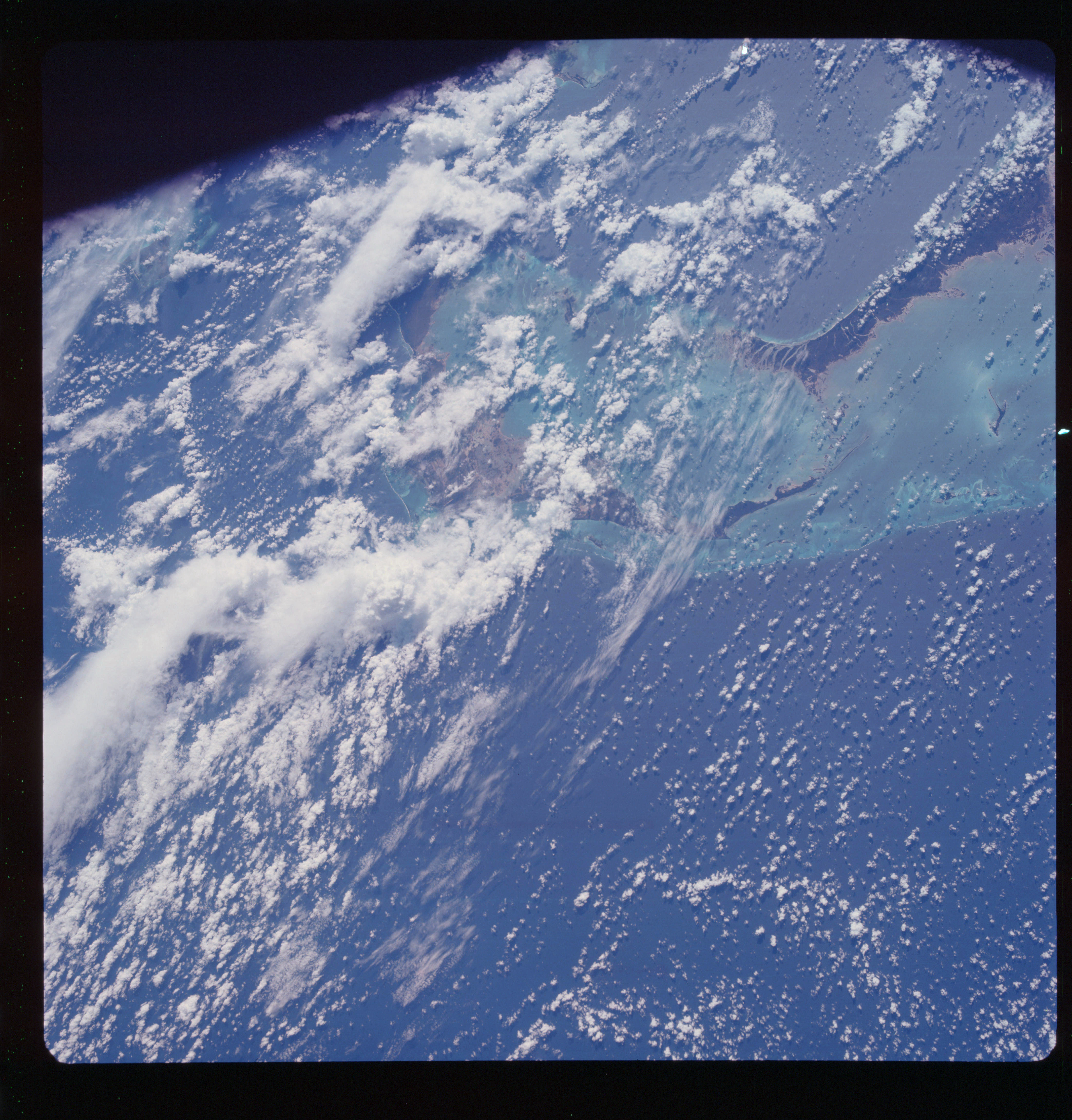 | AS07-11-2040 GEOGRAPHY/CARTOGRAPHY: Grand Bahama and Great Abaco Islands, Atlantic Ocean and Limean Coral Reefs. FORESTRY: Dense stands of broad leaf evergreen. METEOROLOGY: Cumulus, alto-cumulus, cirrus. OCEANOGRAPHY: Bahama banks differentiation is prevalent, to show depth difference. Image credit: Image Science and Analysis Laboratory, NASA-Johnson Space Center. |
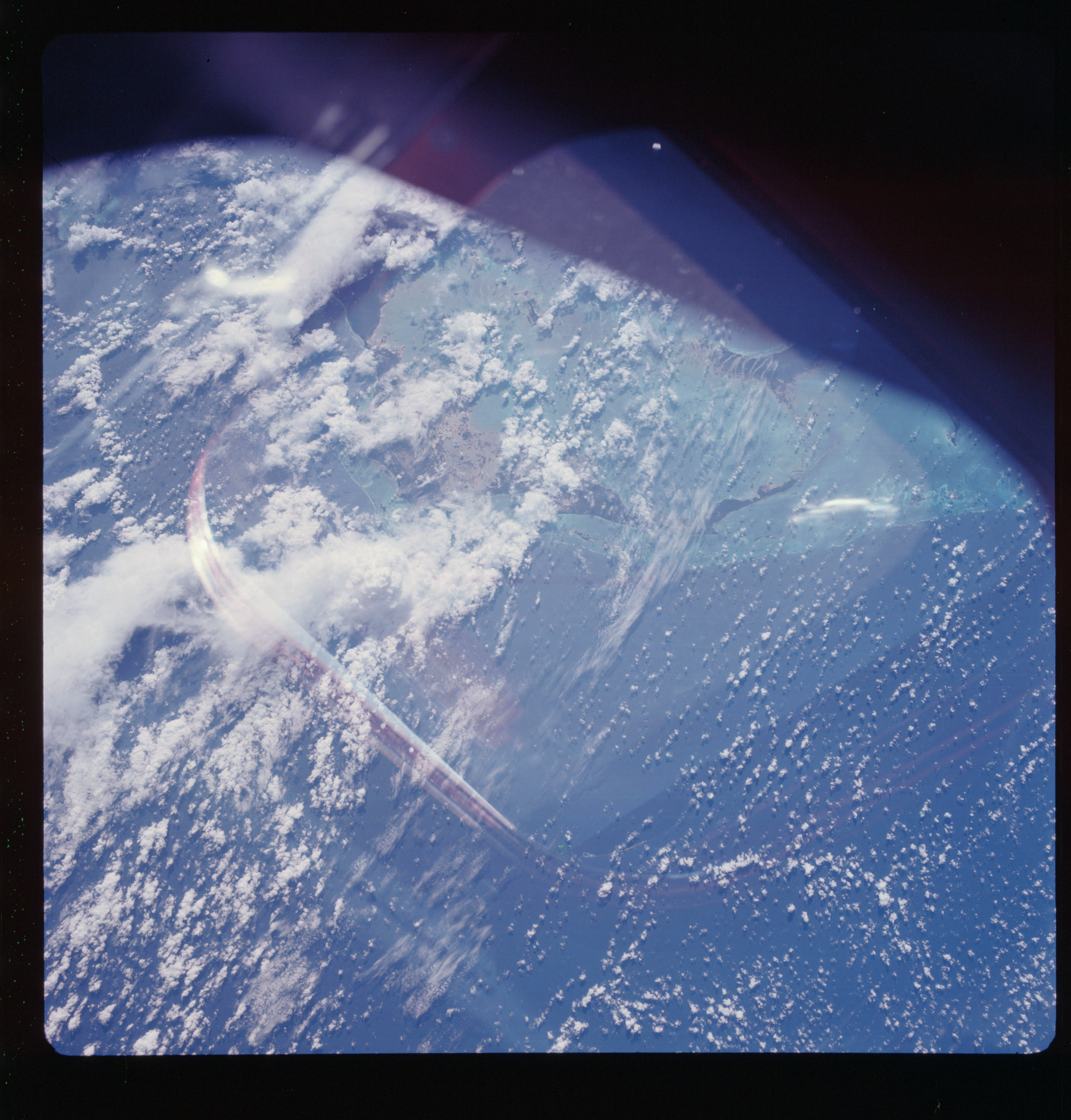 | AS07-11-2041 GEOGRAPHY/CARTOGRAPHY: Grand Bahama and Great Abaco Islands, Window Reflection in the center. METEOROLOGY: Cumulus, alto-cumulus, cirrus. OCEANOGRAPHY: Bahama banks differentiation is prevalent for depth differences. Image credit: Image Science and Analysis Laboratory, NASA-Johnson Space Center. |
 | AS07-11-2042 Light specks. Image credit: Image Science and Analysis Laboratory, NASA-Johnson Space Center. |
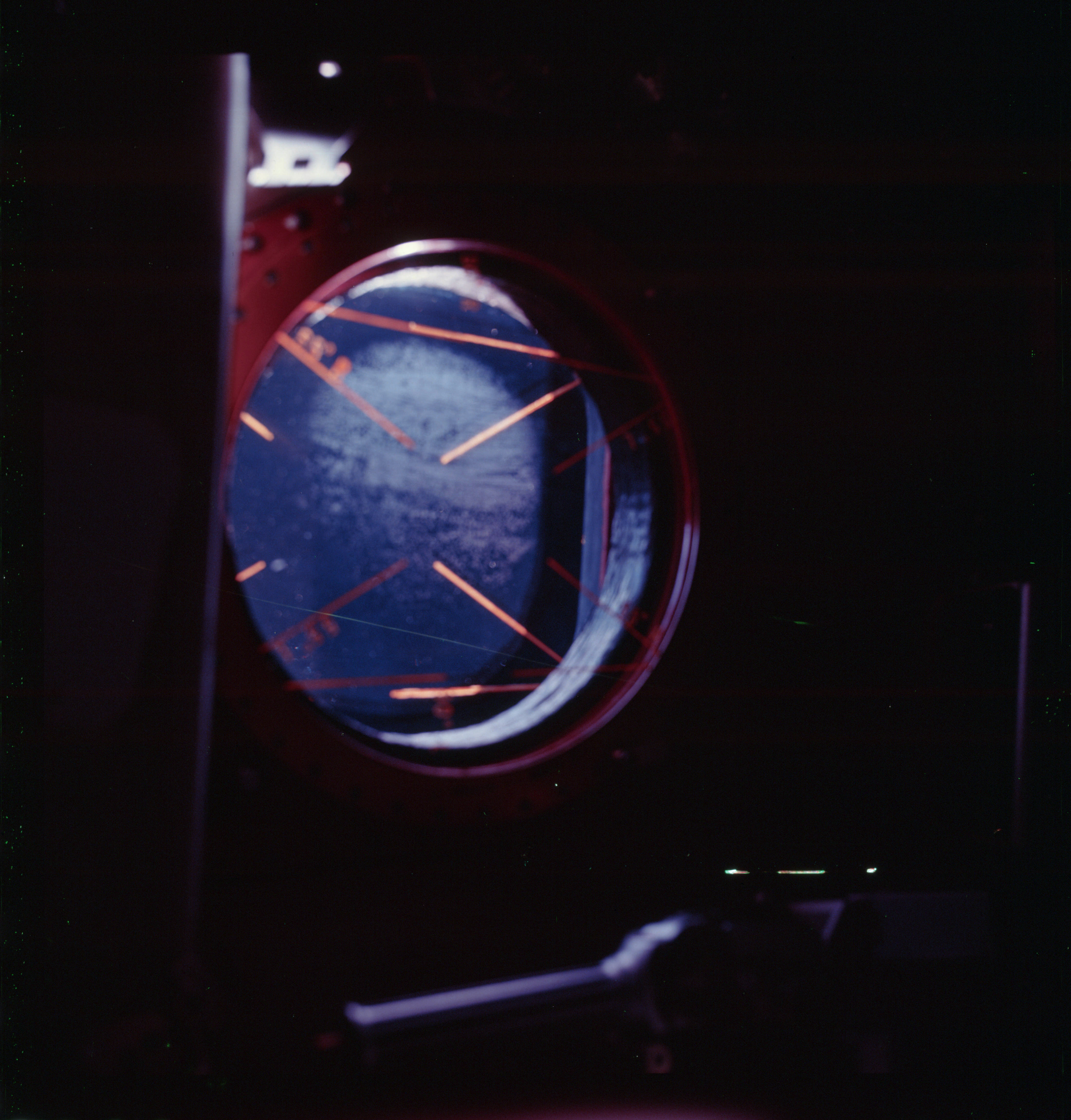 | AS07-11-2043 Hatch window inside the spacecraft. Image credit: Image Science and Analysis Laboratory, NASA-Johnson Space Center. |
|
|
| 70-mm magazine U - AS07-10-1949 to 1978 |
Photography Index |